
Stanislaus National Forest
|
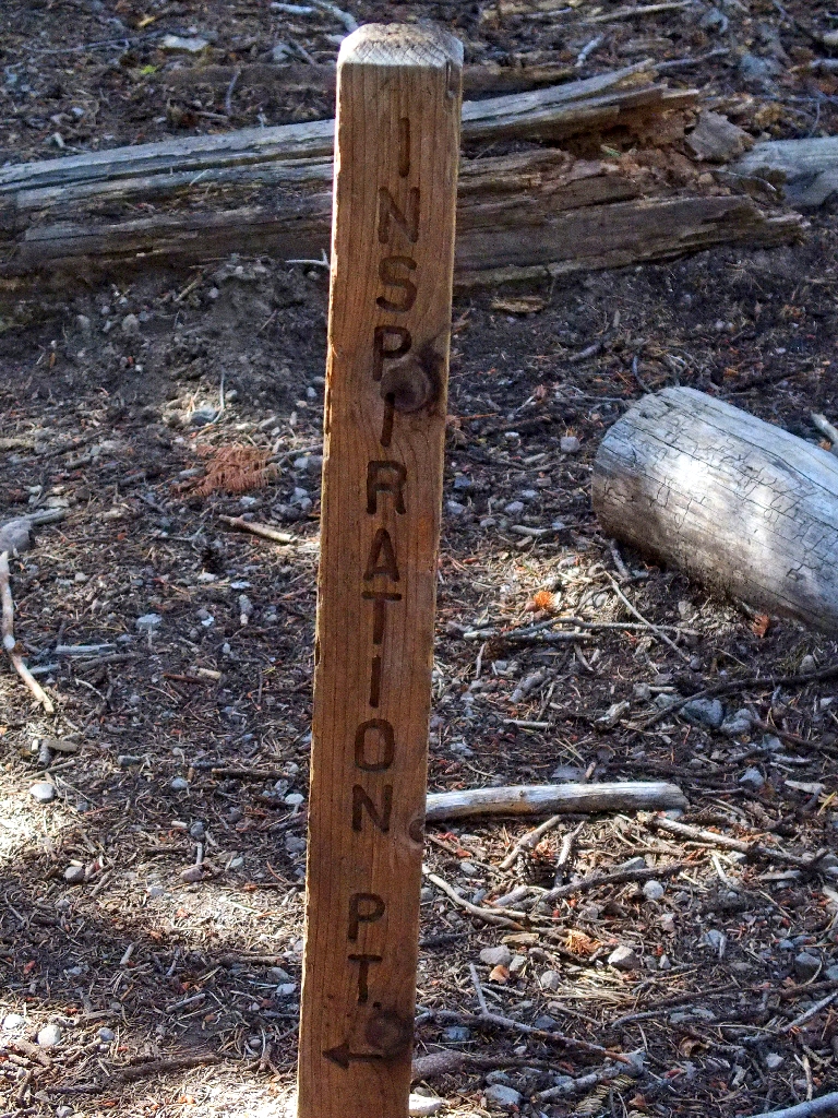
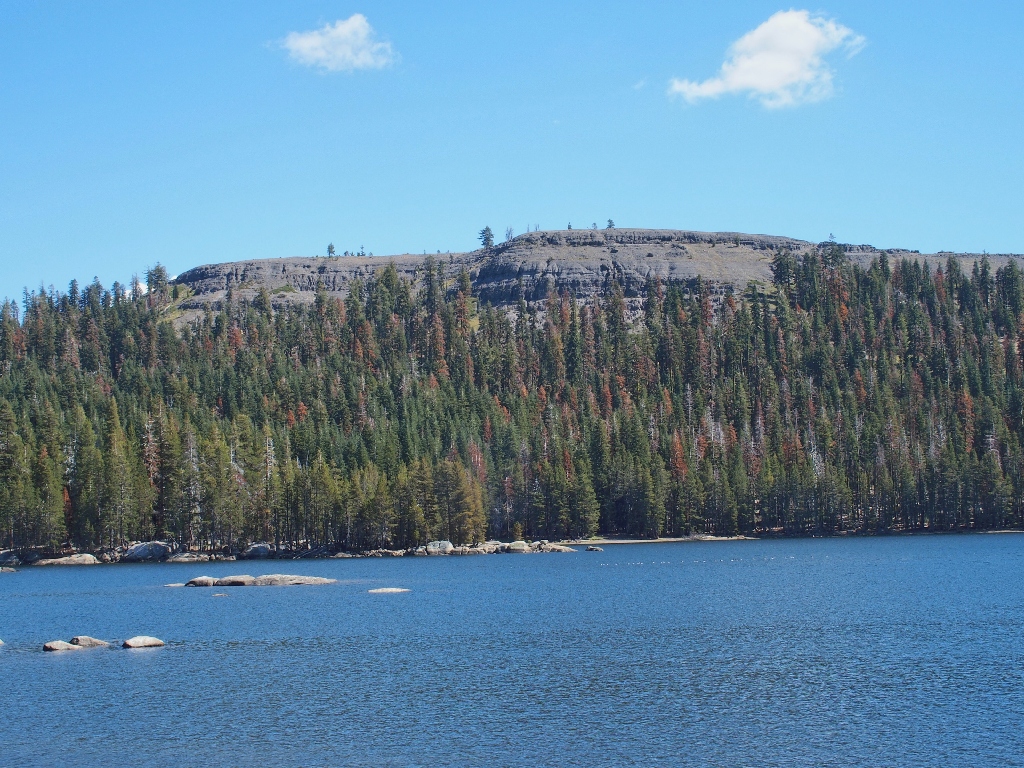
Inspiration Point, Lake Alpine Stanislaus National Forest |
September 12, 2023
My sweetie is hosting out-of-town relatives today, so I must find something to do elsewhere. Having pretty much visited all the local haunts already this season, I have ventured some extra miles over to the Ebbetts Pass area for something new.
The planned loop includes a circumambulation of Lake Alpine. To assist me, I have brought my e-bike along to utilize the trails on the northern lakeshore. After lashing the bike to a signpost west of the lake, I drive to the other end and locate the Lakeshore Trail.
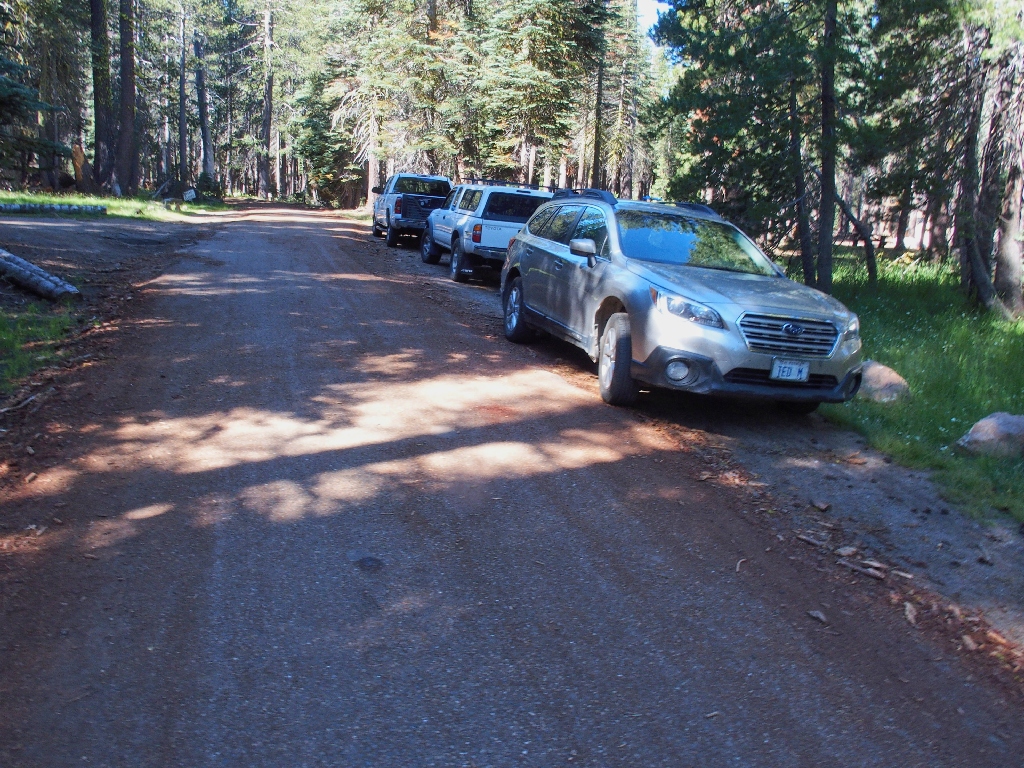
Getting started near Pine Marten Campground
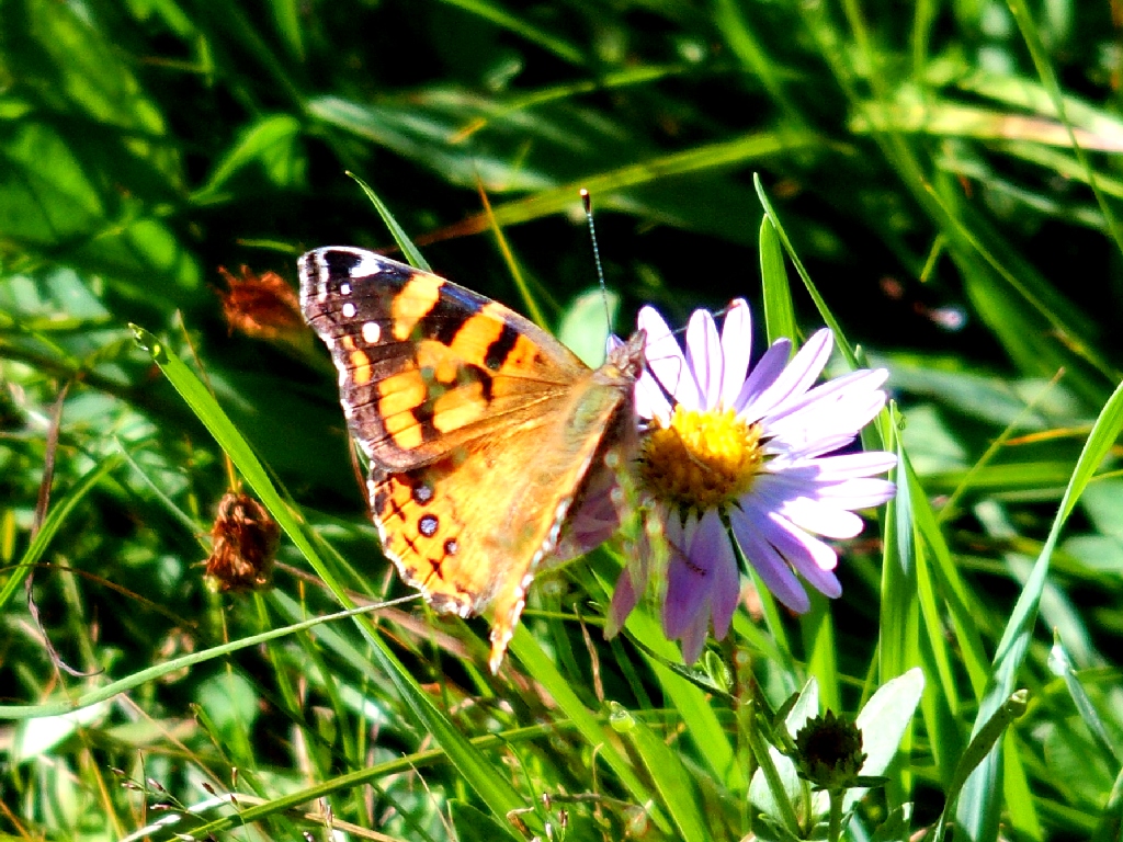
American Lady — my second encounter with one of those in as many outings
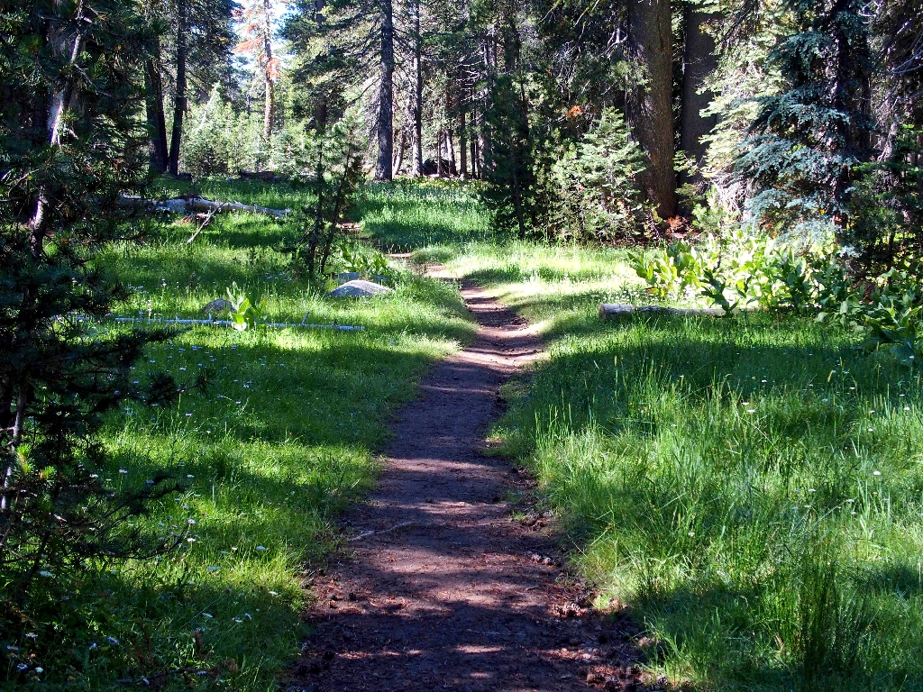
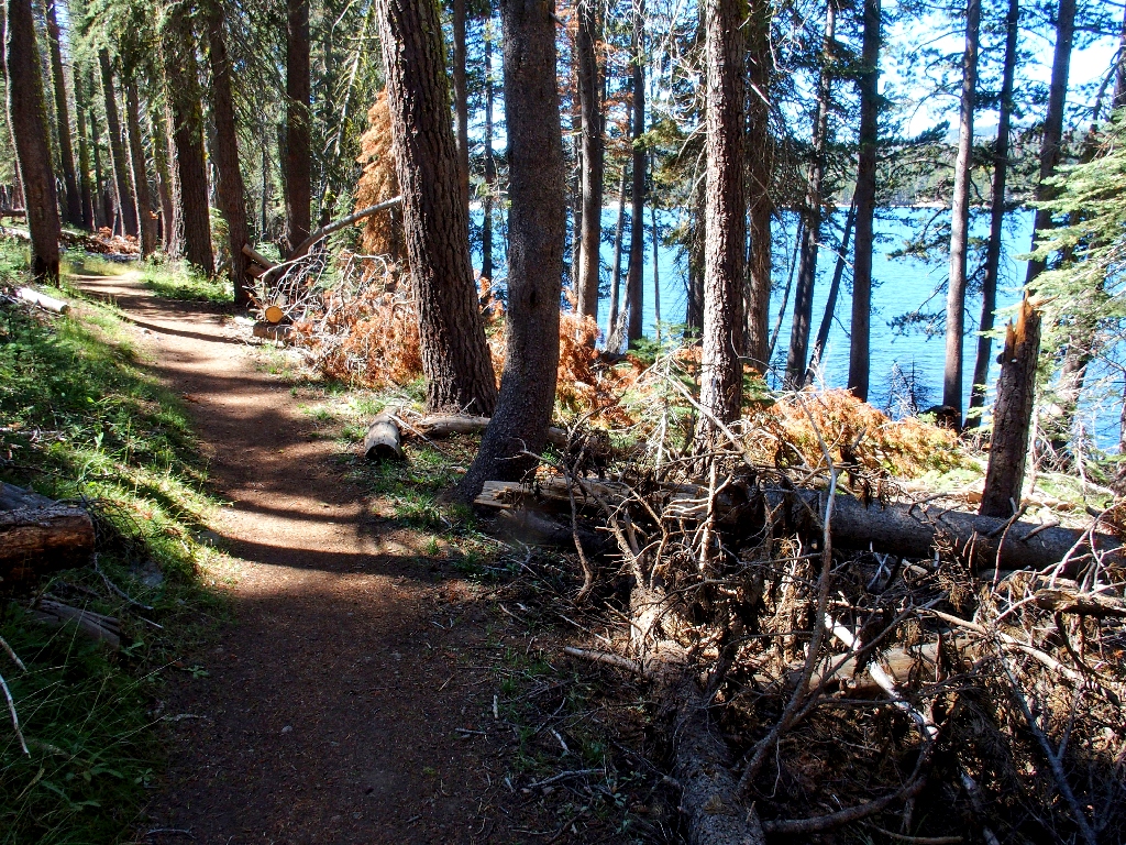
On the Lakeshore Trail
Within just a few minutes, the anticipated spur trail appears.
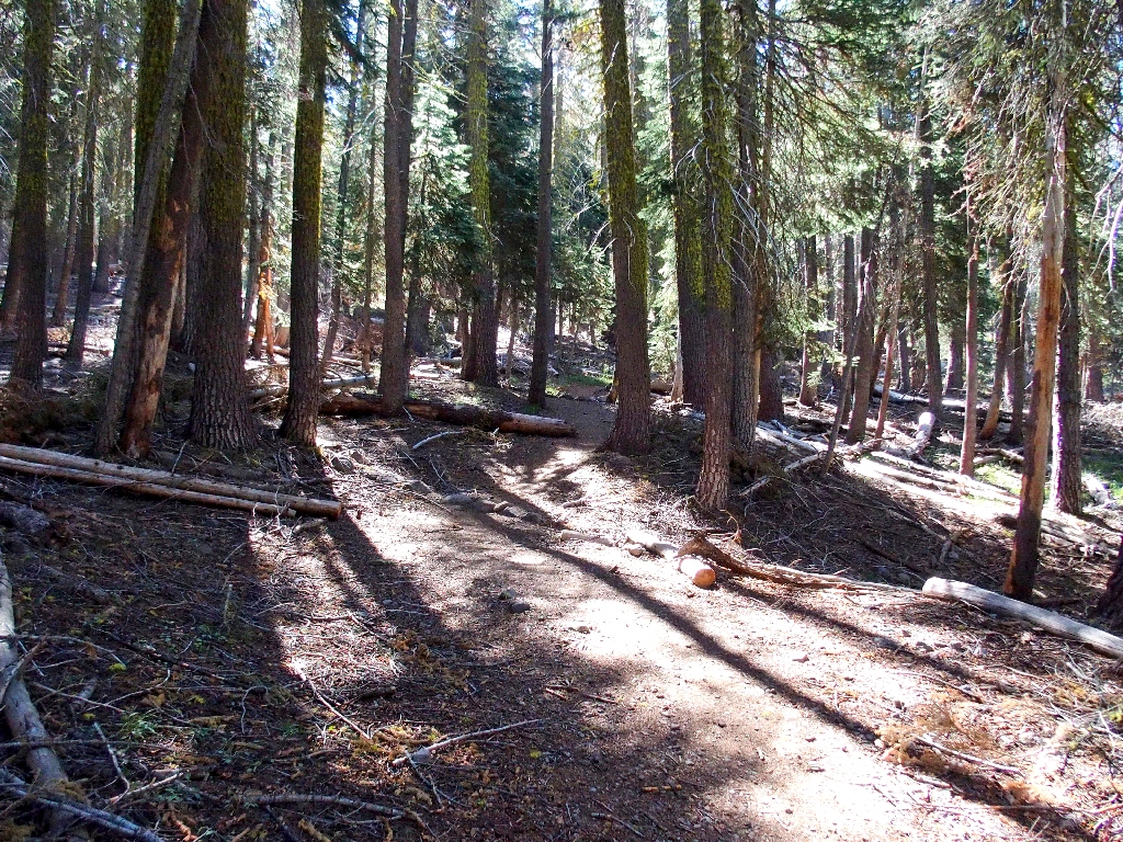
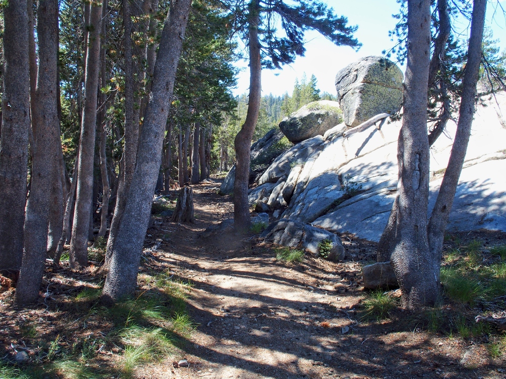
Easy climbing in the forest so far
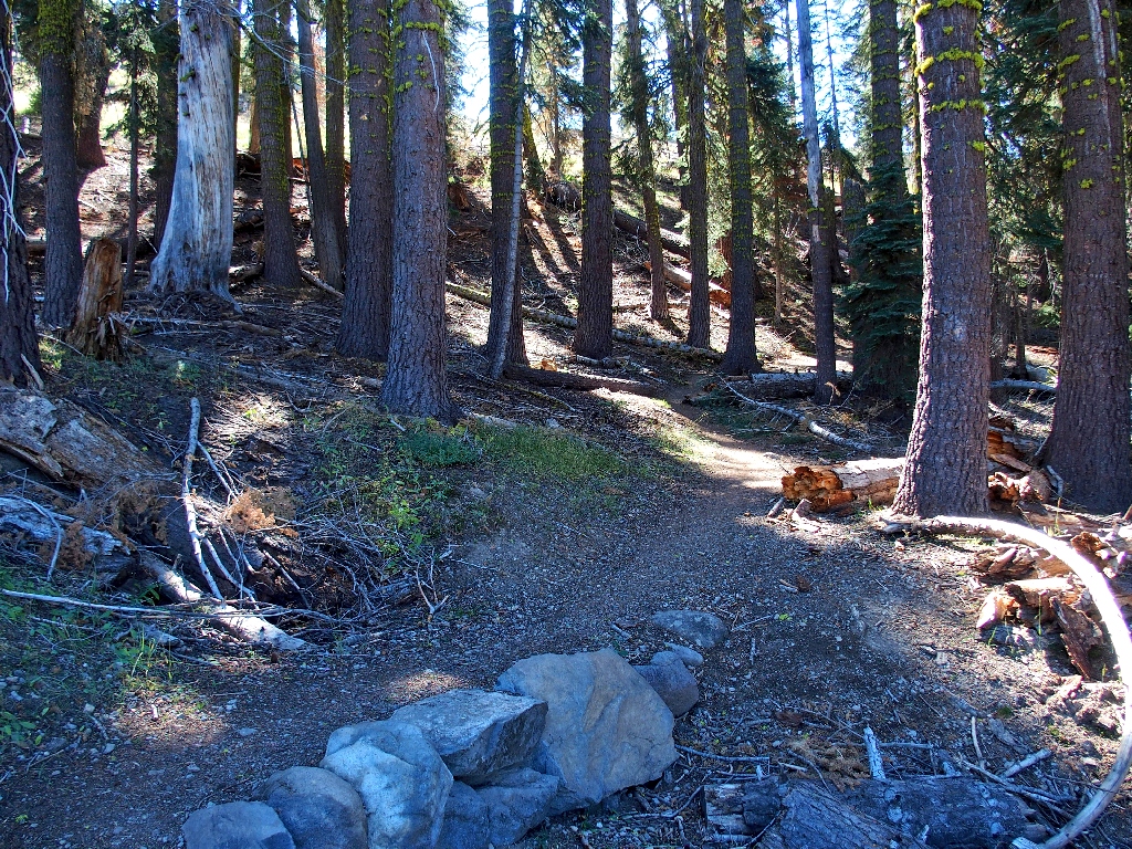
The route becomes more interesting
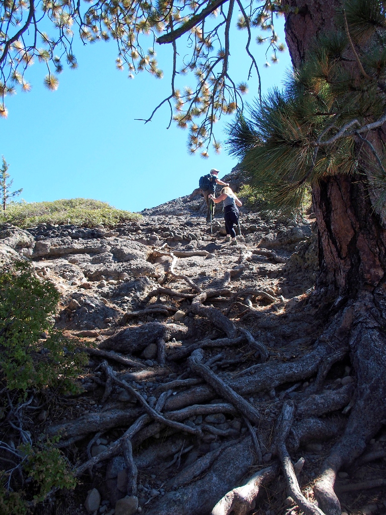
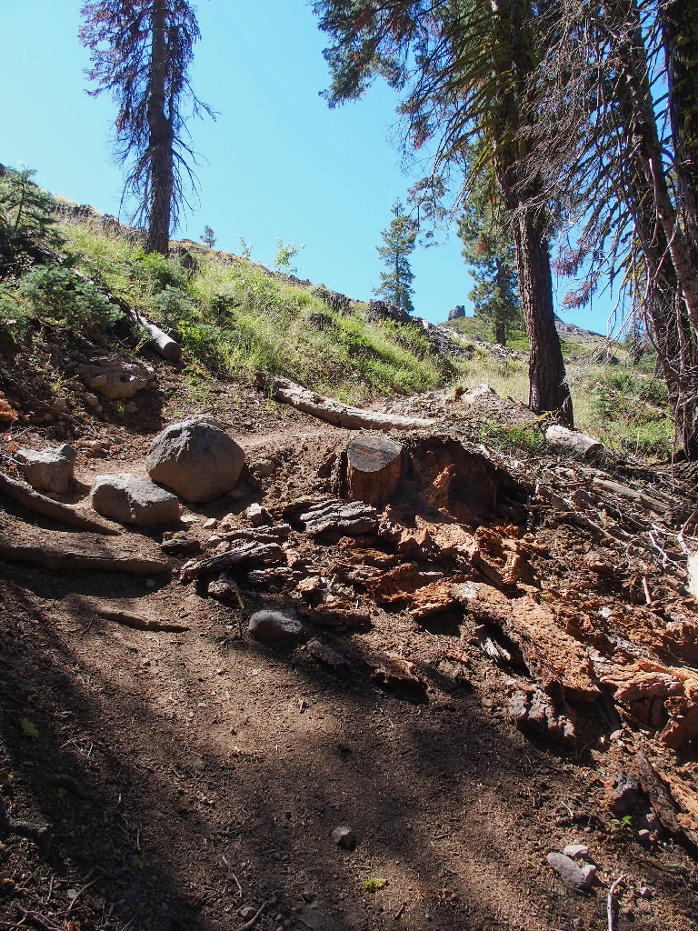
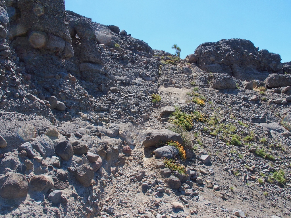
The going becomes quite tricky
I wonder what the poor tree thinks of being routinely trampled.

Traversing through scree is not a favorite activity
At the end of this slippery path is a steep scramble up through some rock. On top of that, the couple ahead of me on the trail has stopped to rest. They are visiting their daughter who has spent the summer working at the Lake Alpine Lodge, and are planning to continue down to Yosemite. Wishing them well, I head for the high point of this lengthy ridge.
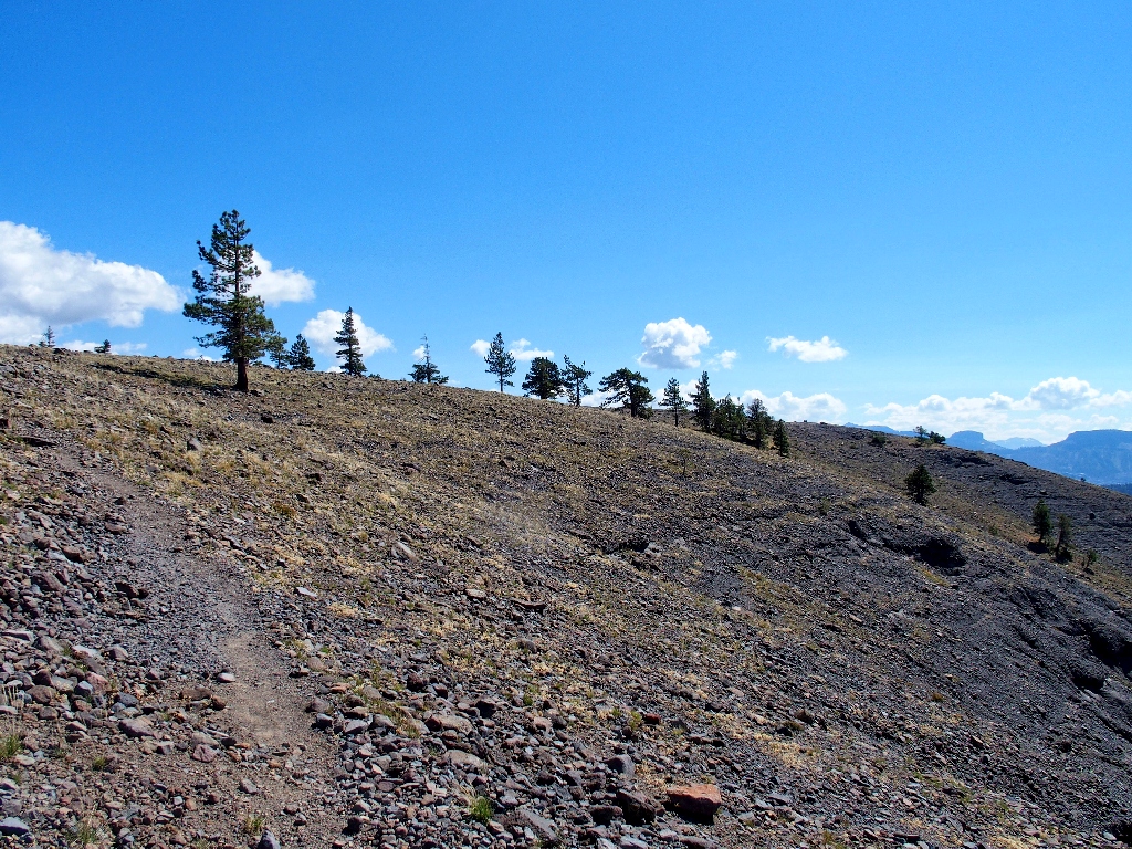
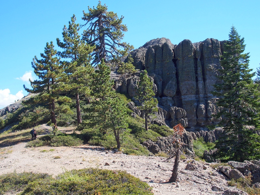
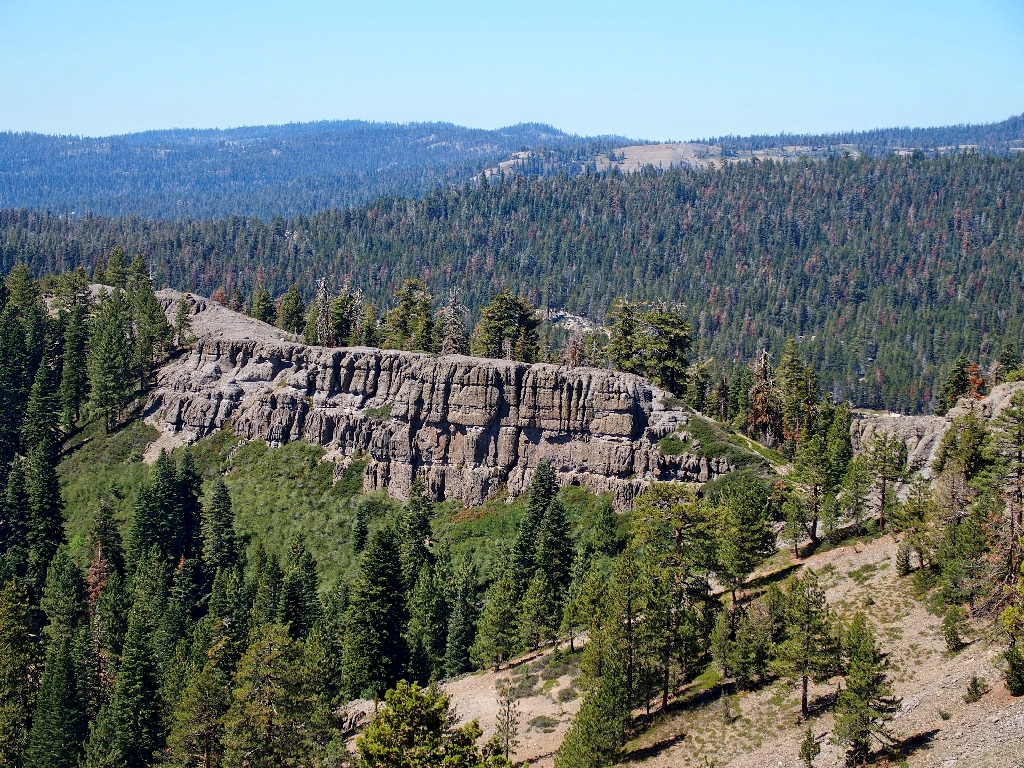
The trail is right on the border of the Carson-Iceberg Wilderness
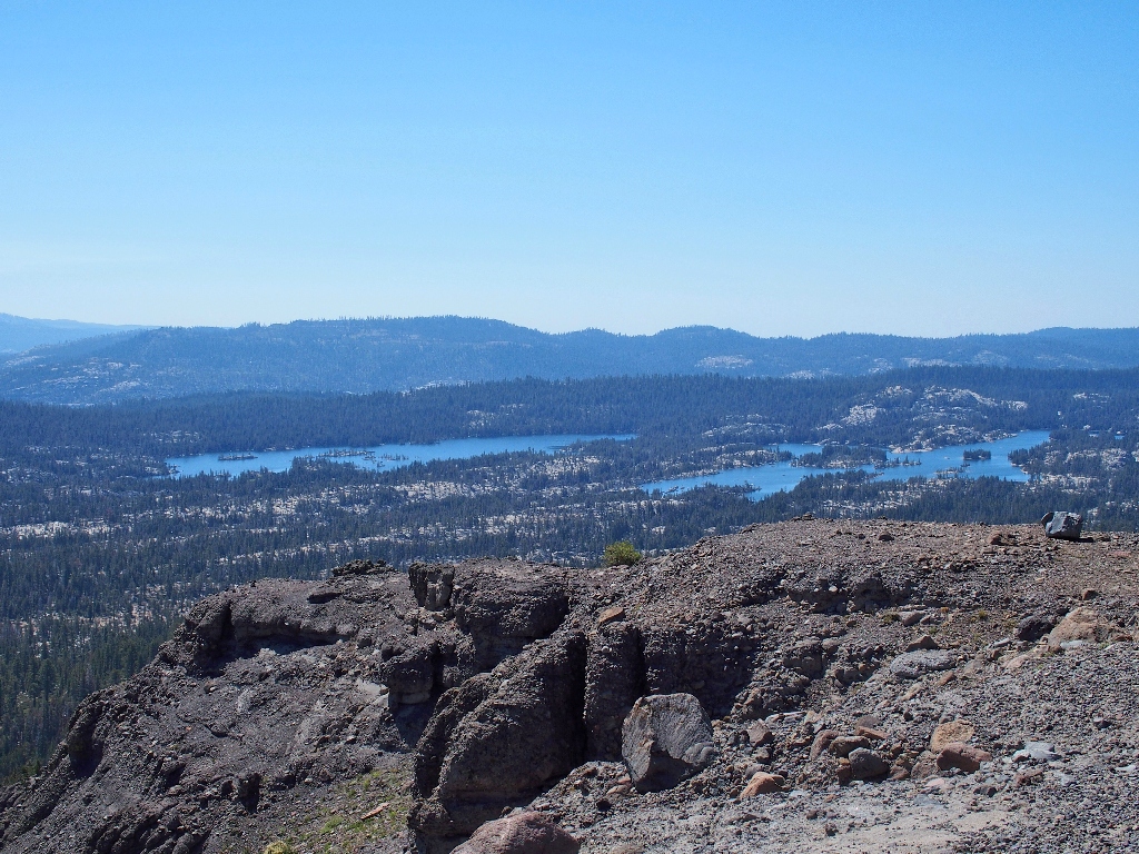
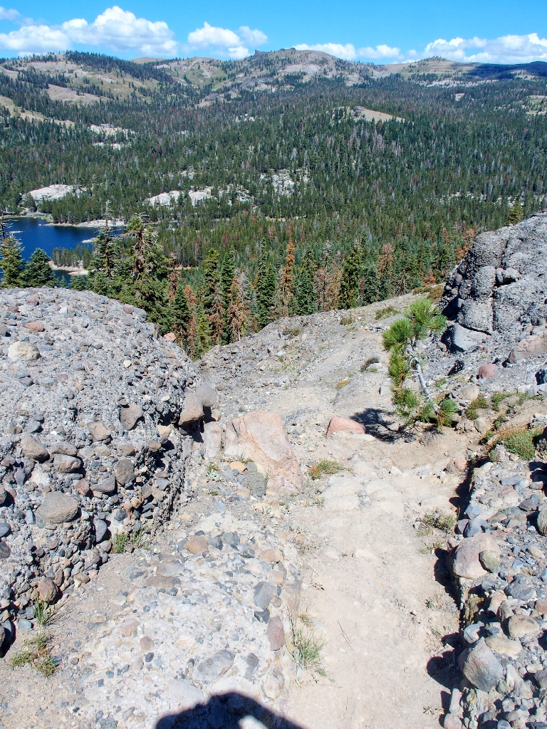
At the top, I can start checking out all the views.

Duck Lake is quite photogenic
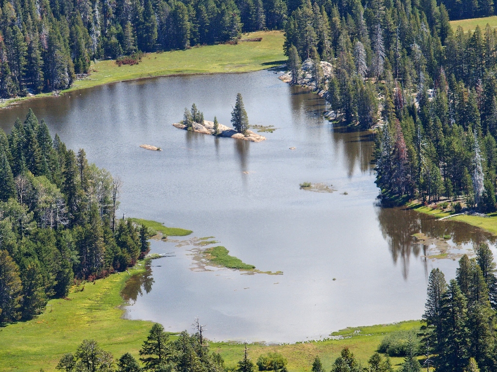
That's a nifty island
I last visited that spot six years ago
(Hike #126)
on one of my least-rewarding outings, but Duck Lake itself was not to blame.
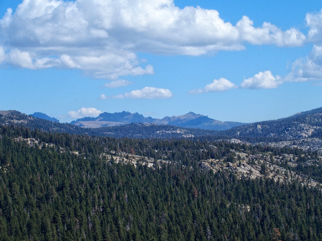
To the south are the peaks of Sonora Pass
Union Reservoir (left), Utica Reservoir (right)
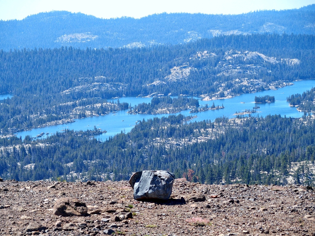
Utica is full of islands
I have hiked down in there previously, but never again
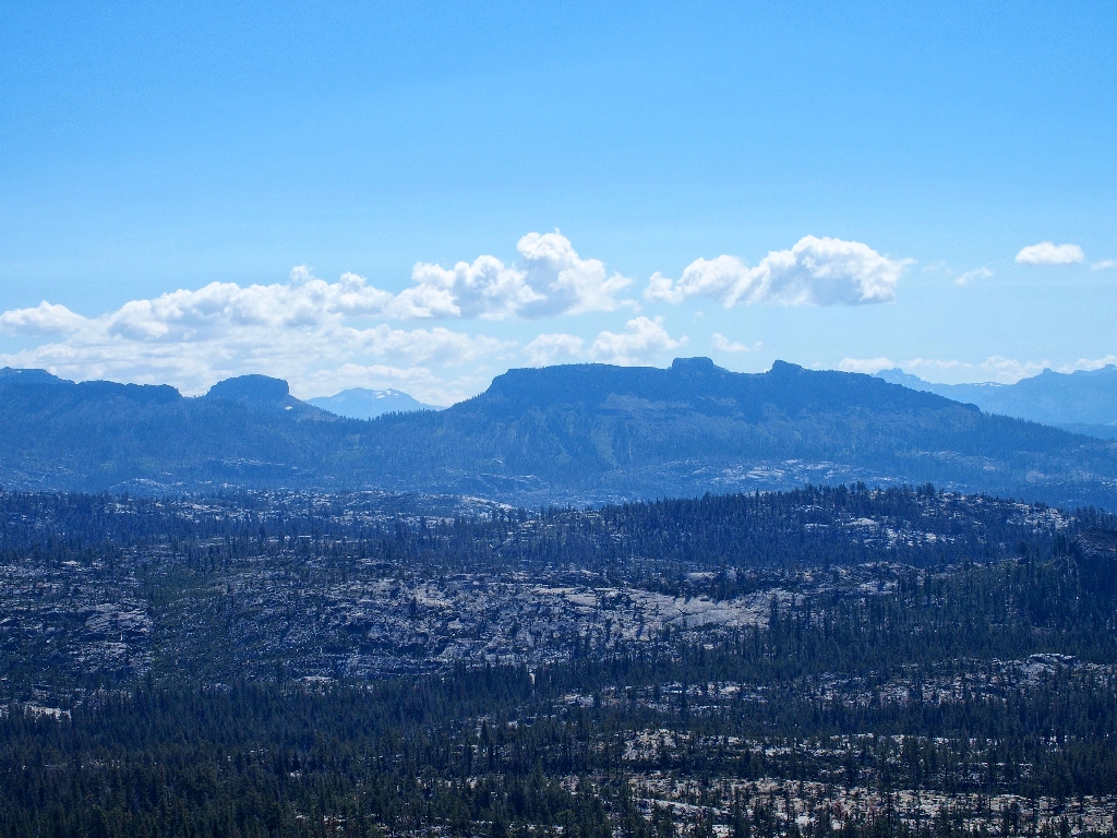
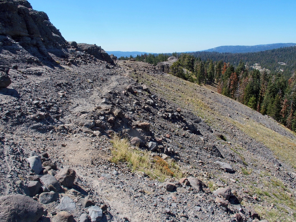
This is an interesting ridge top

Wheeler Peak, 9000', is northeast
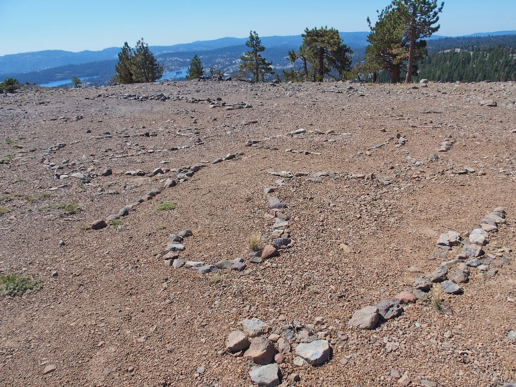
This spells out some message, but I don't know what it is and care even less
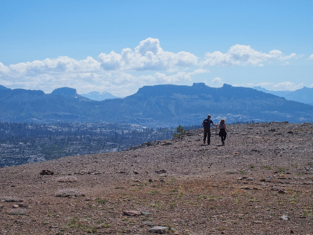
When my recent acquaintances catch up, I finally do my duty by introducing myself
and offering to make them world-famous by posting their images on my website!

Kathy and Kurt from Kolorado
Well, it was "Kathy with a 'K'", and "Kurt with a 'K'", so...
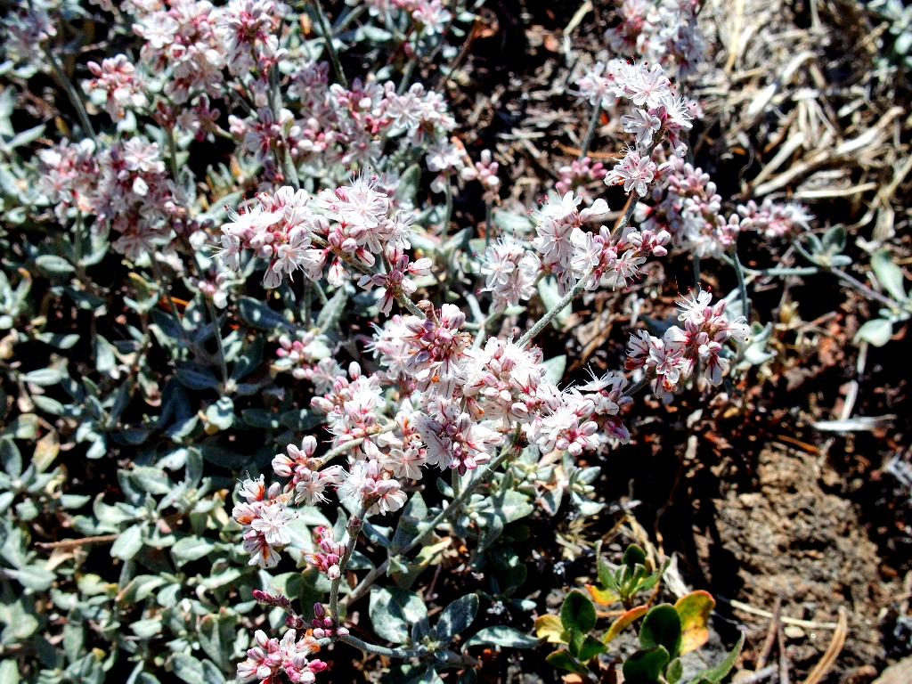
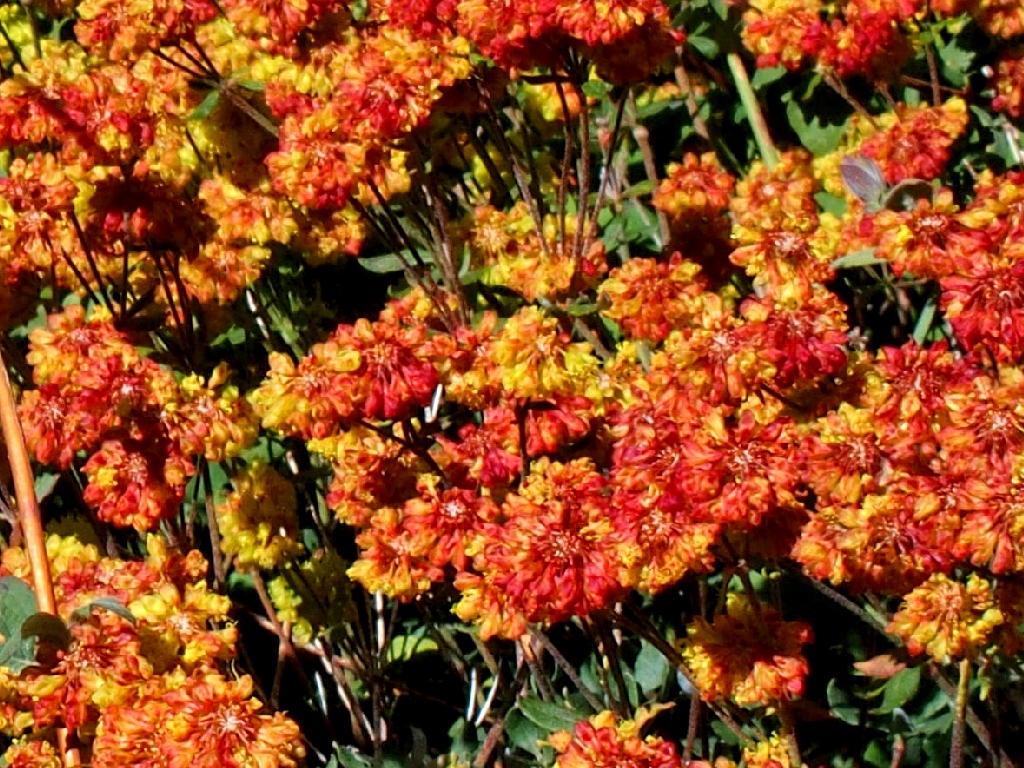
Bastardsage (Shrubby Buckwheat) is the only flower on the overlook
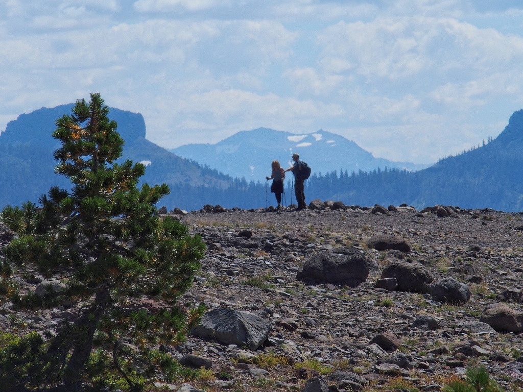
A couple of parting shots in case Kurt and Kathy would like them
I neglected to advise the couple to be sure to visit Glacier Point if nothing else; I hope that they figure out to do that.
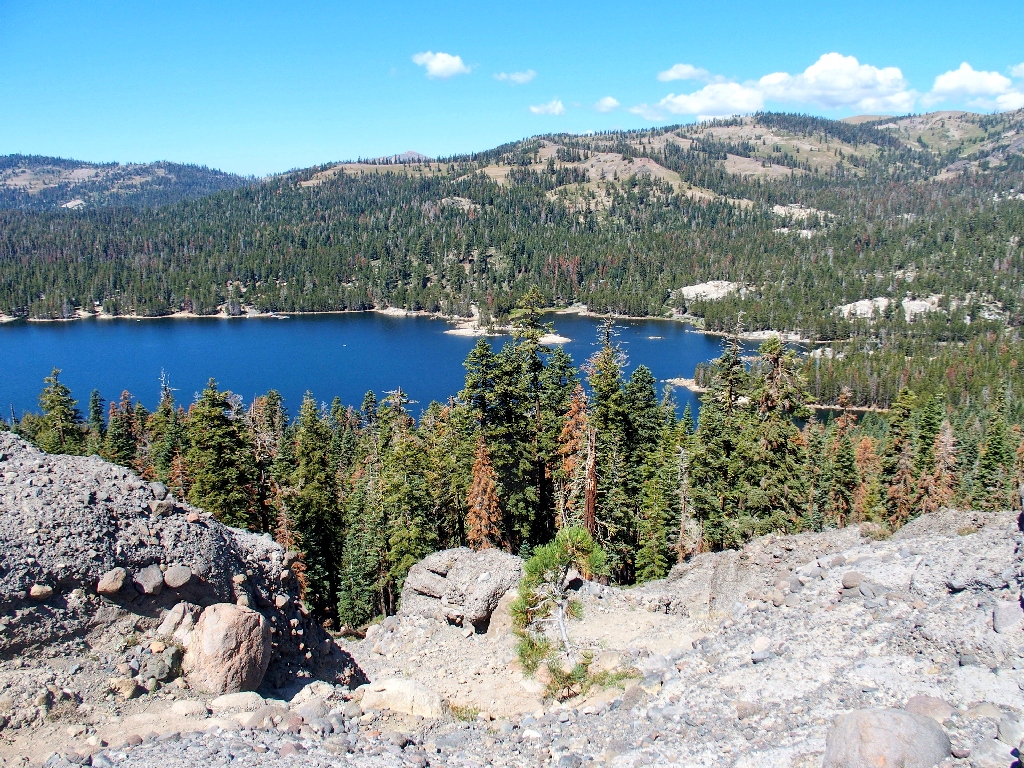
Lake Alpine is 600 feet below
Starting down the treacherous section
I'm glad that's behind me...
...but this isn't much better

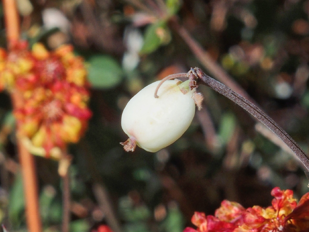
Snowberry
Sulfur Flower Buckwheat
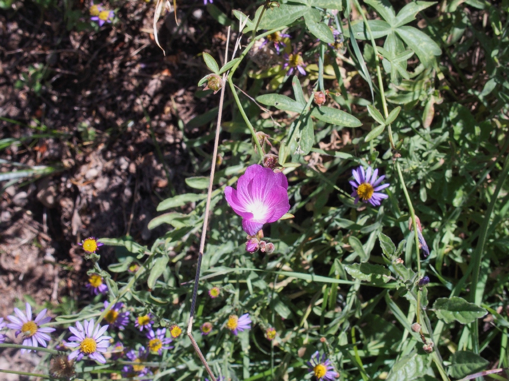
Waxy Checkerbloom
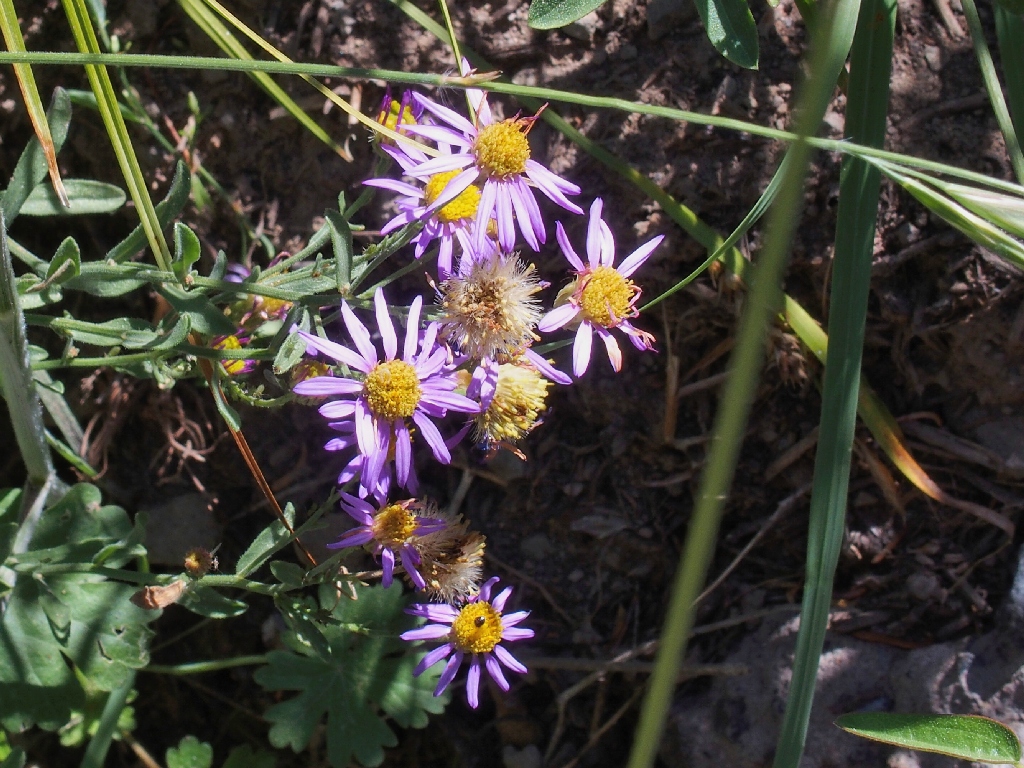
Leafy Fleabane
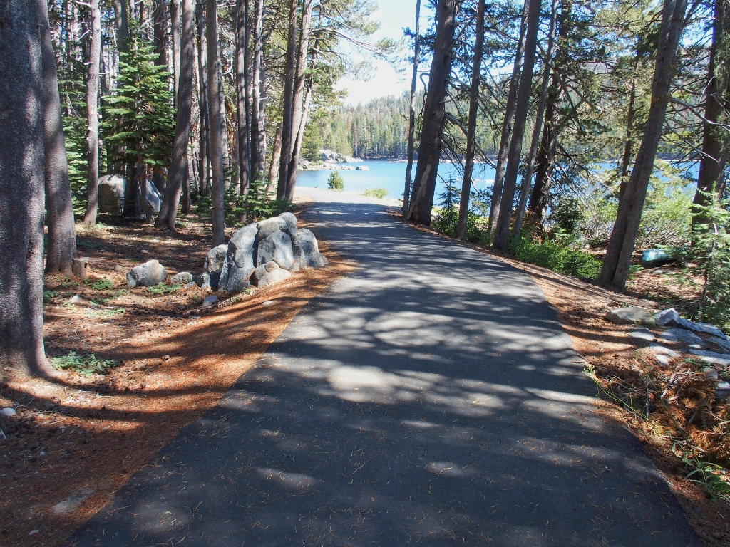
Back on the Lakeshore Trail
It's a long, mundane slog to the other end of the lake.
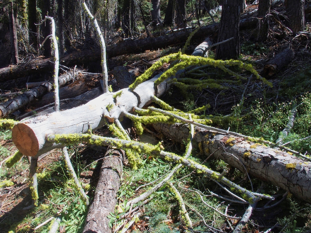
The most interesting feature on this section of trail
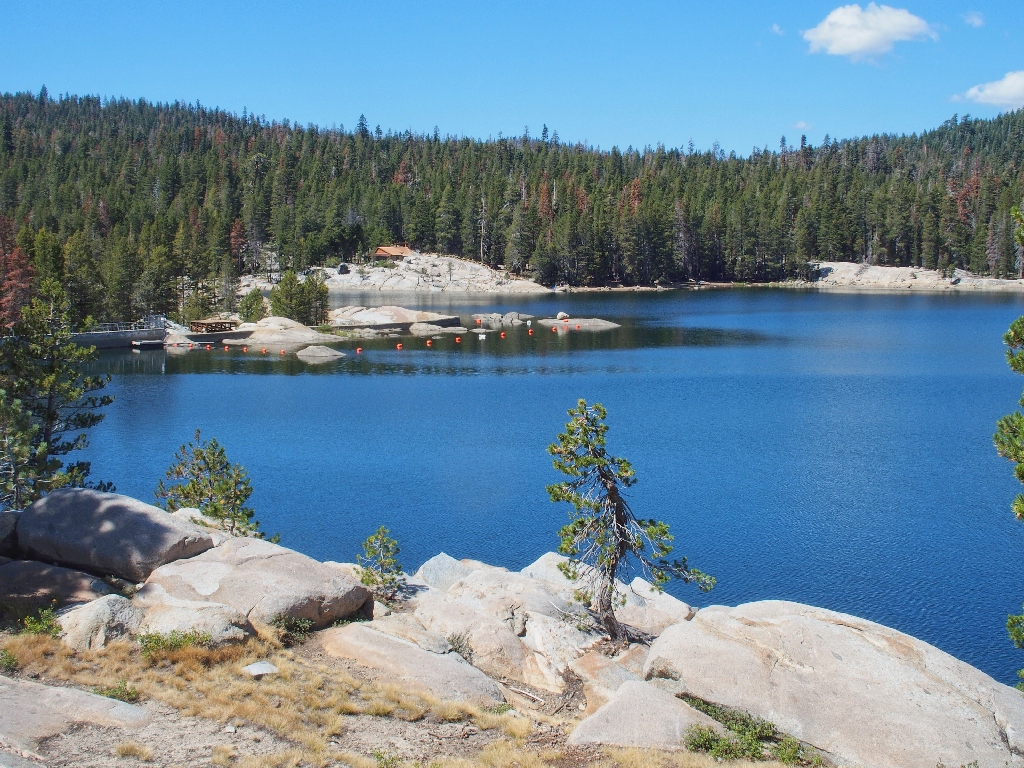
Nearing the dam
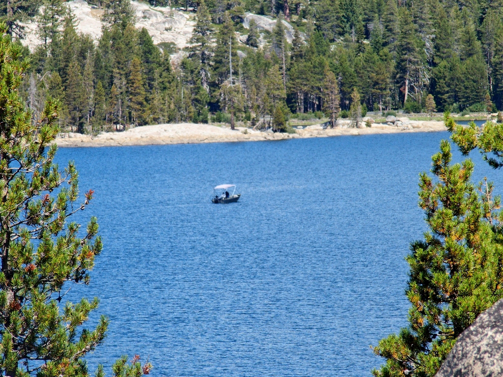
The only boat on the lake
This section is pretty nice
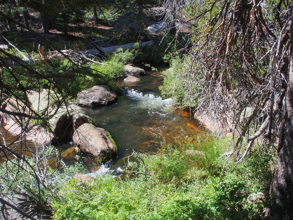
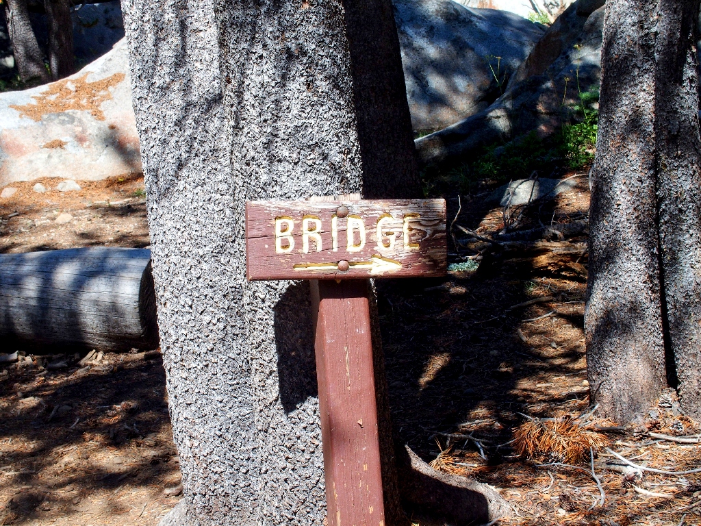
Abruptly, I am presented an intriguing challenge — cross Silver Creek on the 'provided' log, or circle an extra quarter mile across a bridge. What to do?
Although I have done trickier crossings than this, and not long ago, I opt to circle around today. Getting old.
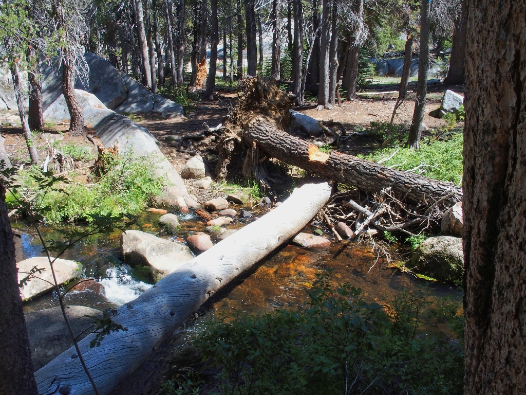
Scrambling over a rock pile
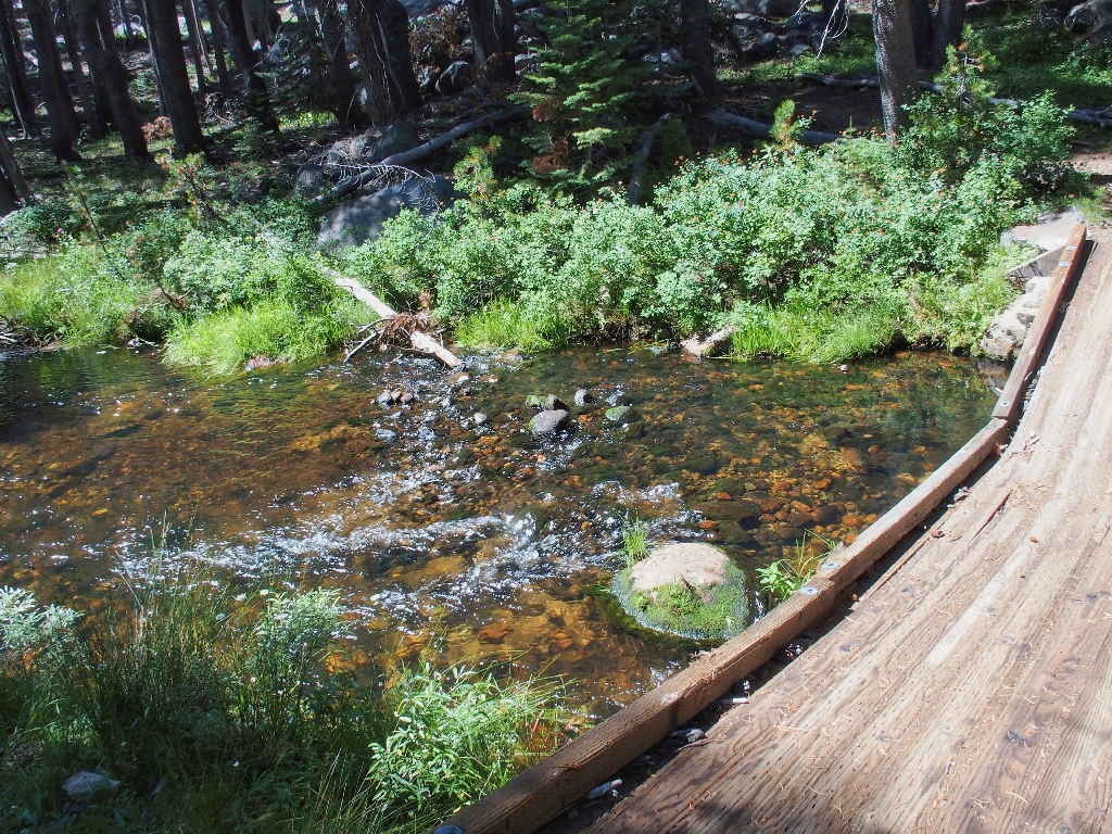
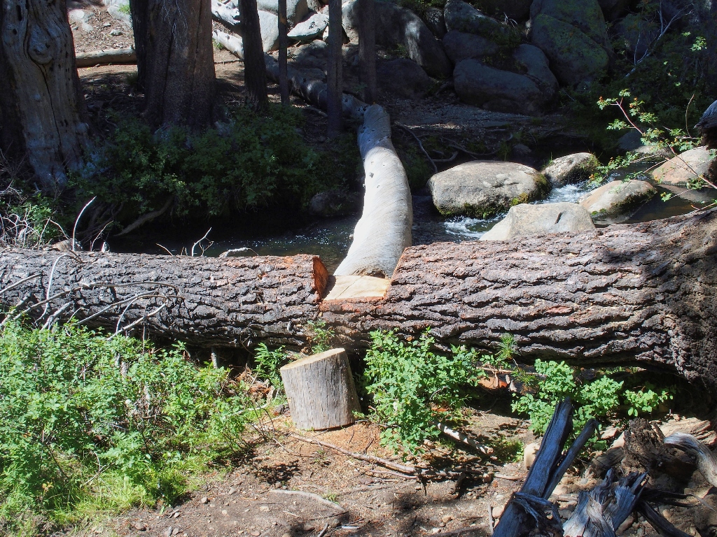
The bridge has collapsed, yet remains serviceable
Back near where I was a quarter of a mile ago
I really should have done that crossing. Now, the route becomes relatively
boring as it degenerates into a jeep trail. Ugh. It was on one of these
sand-on-rock routes that I broke my wrist nine years ago.
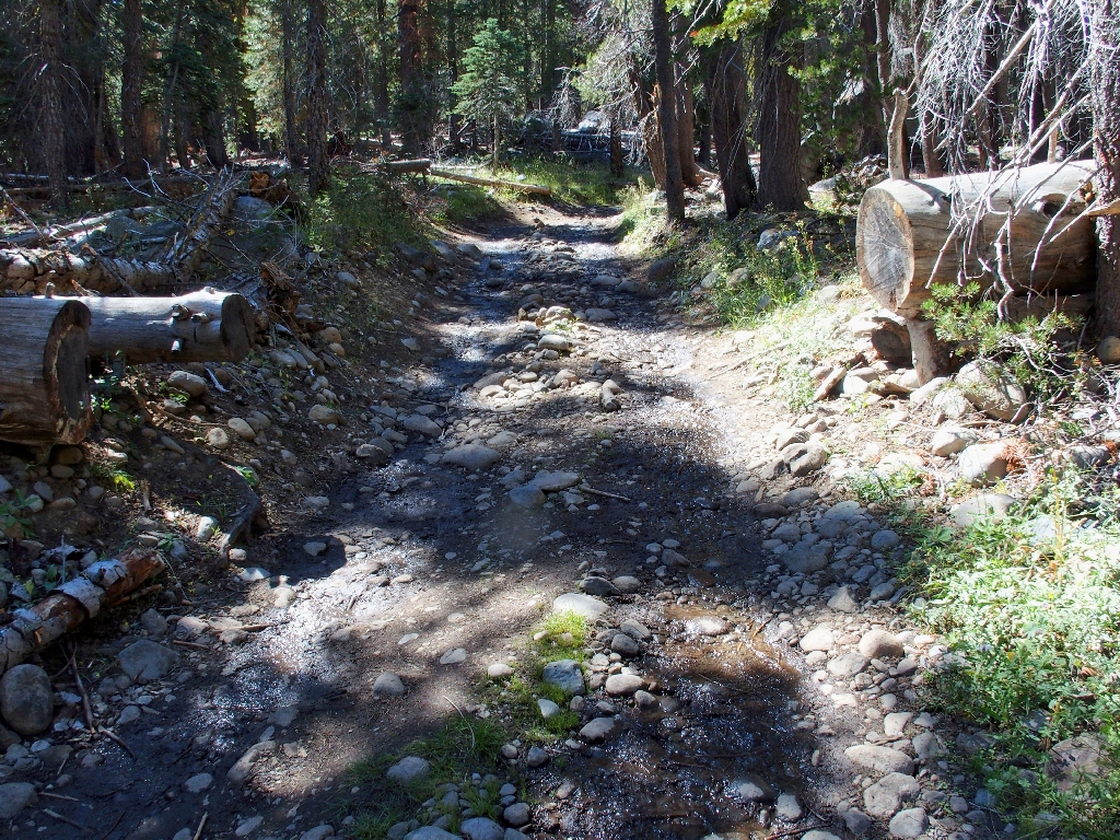
Slick Rock Road is not fun to walk on
The map shows a trail through here. An old marker beside the road is dilapidated and clearly obsolete, and I cannot find a semblance of trail anyway; so remaining on the road is the only option.
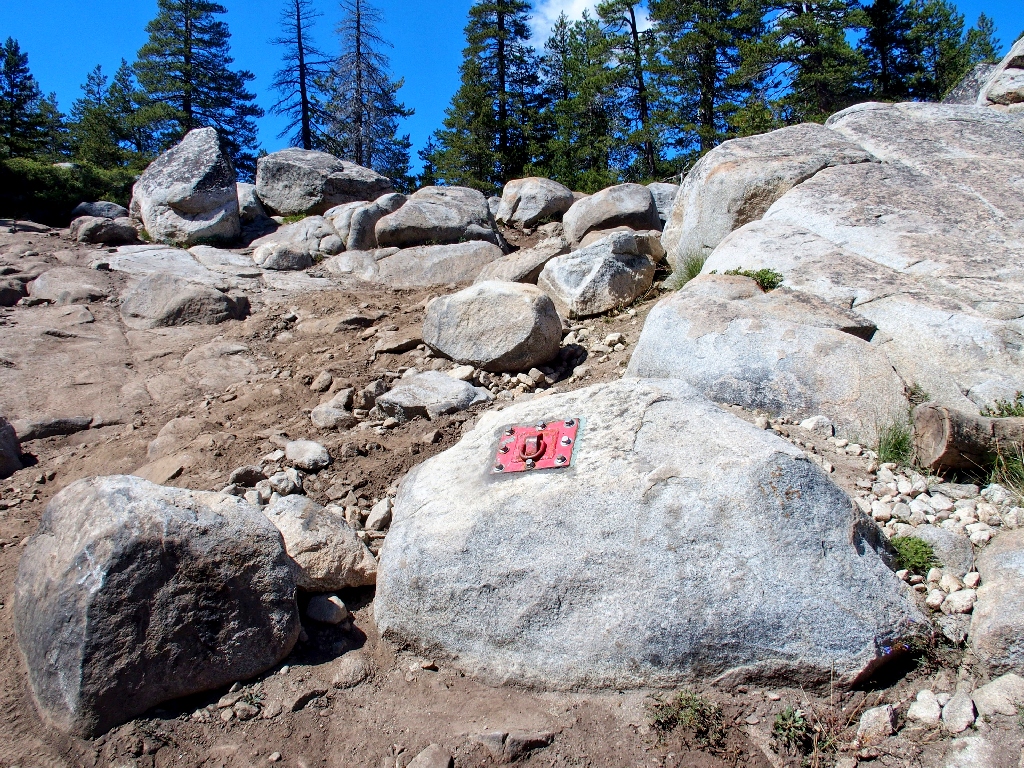
The built-in shackle is for winching less-capable drivers up the hill
I have not seen such an installation previously. There also are a couple of
route-indicating reflectors fastened to other rocks. Opting for a
bypass route instead of an over-the-big-rock option, my jeep tour is complete
within twenty minutes.

I'm happy to be done with it
A short half-mile later, I am pleased to see that my transportation is in place.
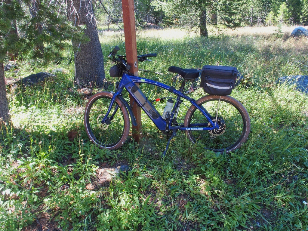
My ticket out of here
The nice bike trail is paved the entire way
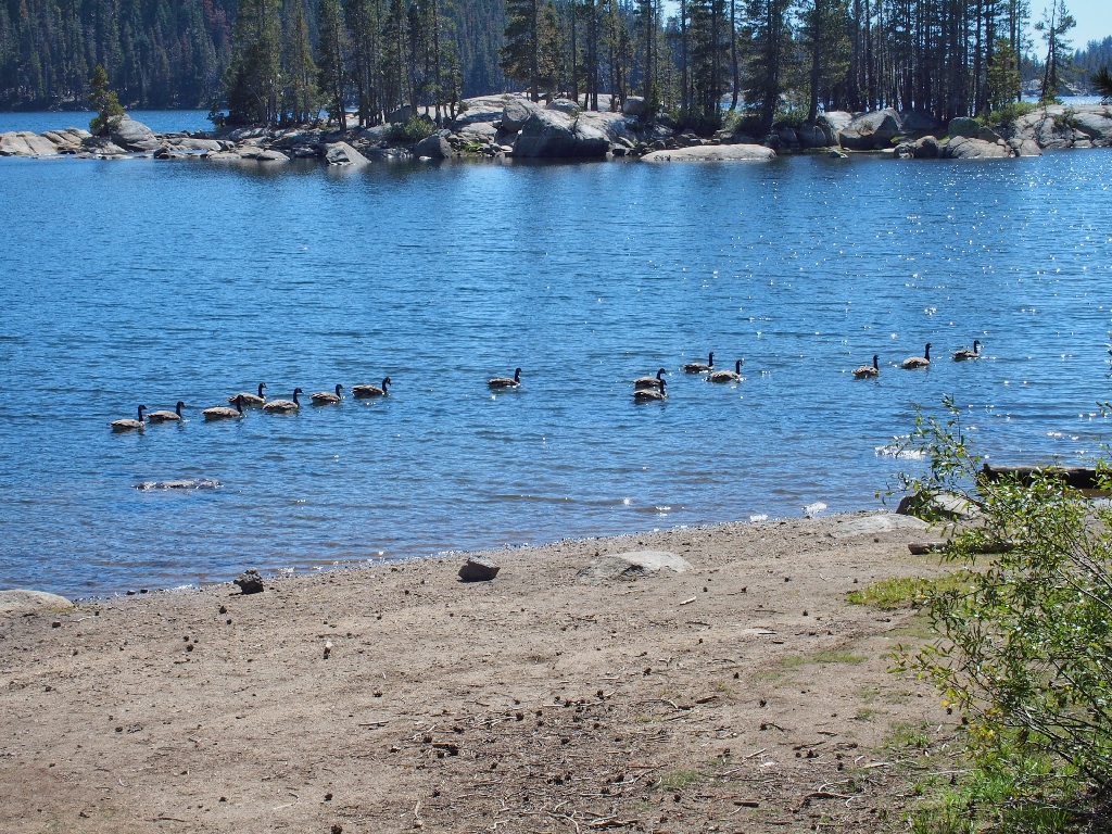
Today's wildlife entry
It is unexpectedly quiet along the lakeshore. The tourist season really does fizzle out after Labor Day. Pine Marten Campground remains pretty active, however.
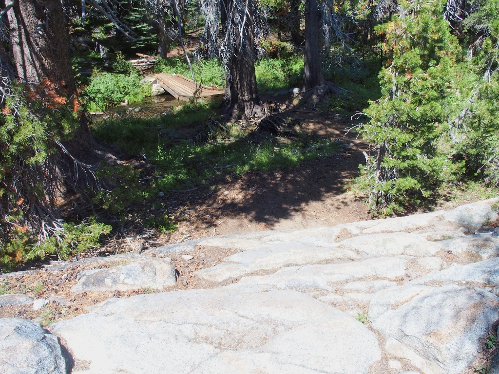
Inspiration Point is up there
§: Well, this outing proved somewhat longer and rougher than was
expected. I survived some rough going on the scree slopes, made some new
acquaintances, and was glad to have brought along my bike for the last mile and a
half.. Despite the mundane slog along the back side of the lake, there was a
diversity of features on today's route. One hike here was enough for me, however.
| Scenery |  |
| Difficulty |  |
| Personality |  |
| Flowers |  |

