
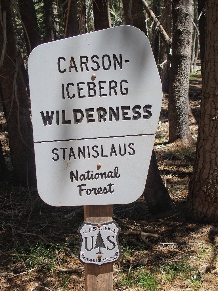
Carson-Iceberg Wilderness
|
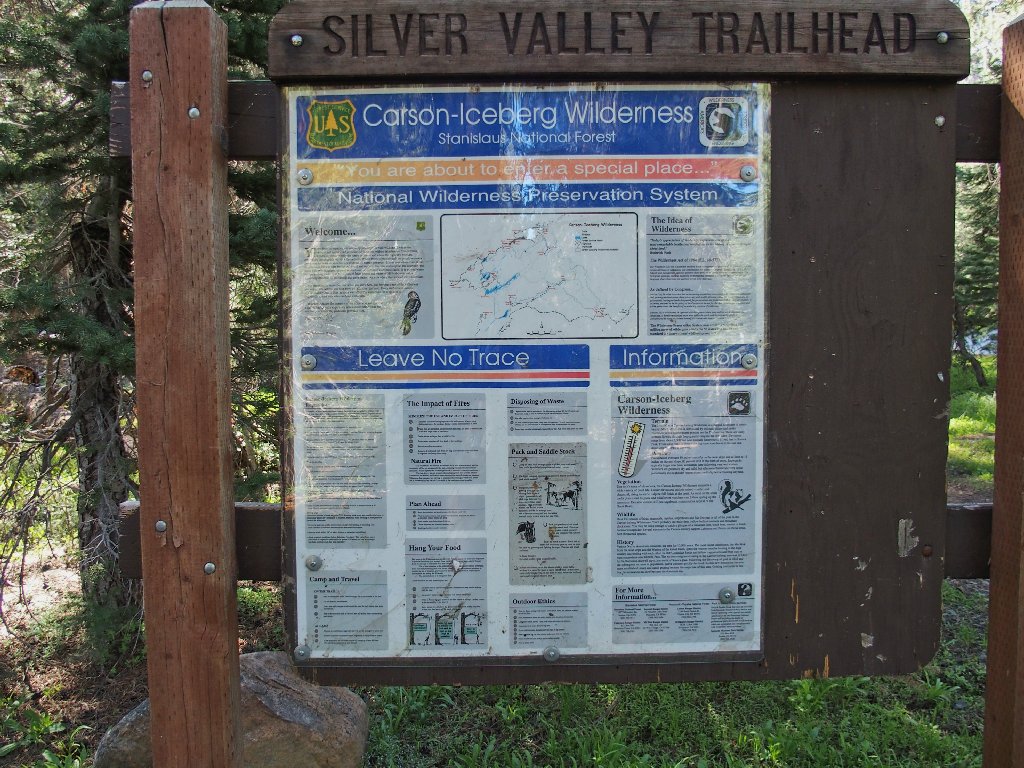
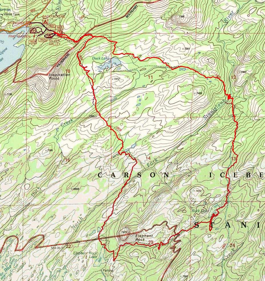
Elephant Rock Lake Loop Carson-Iceberg Wilderness |
July 11, 2017
Excepting a short excursion down to Duck Lake some twenty years ago,
I last hiked in this area back in the mid-seventies, with my late wife
and her mother.
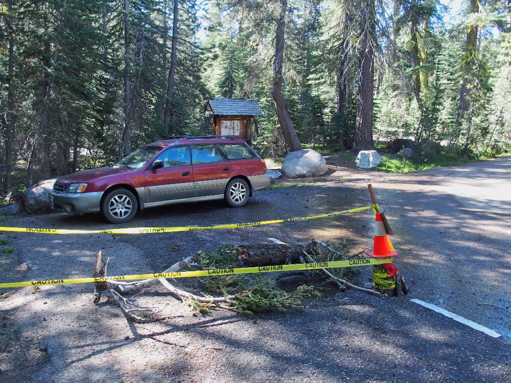
Water is pouring down a hole in the pavement
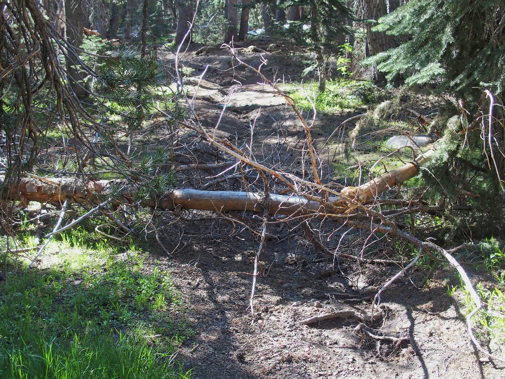
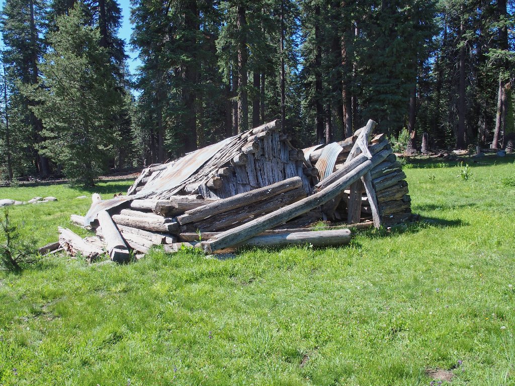
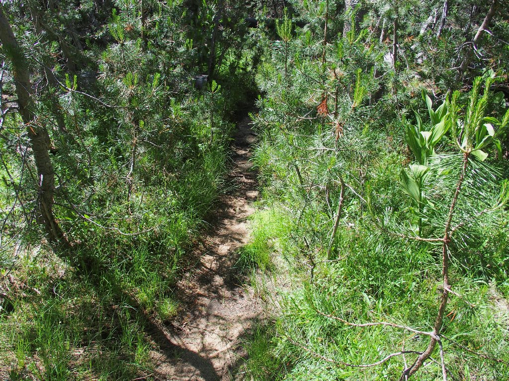
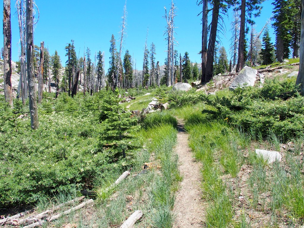
Almost immediately, I am compelled to detour around some fallen trees. The maintenance guys have not gotten over this way yet.
I hope this isn't the general trend
At the ridge top is the wilderness boundary and a barb-wire fence.
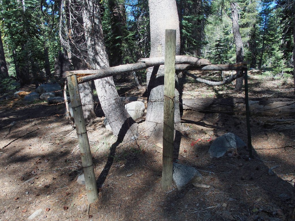
A nifty gate keeps grazing livestock in their place
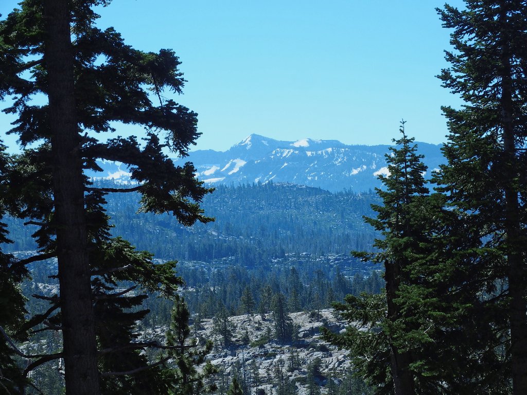
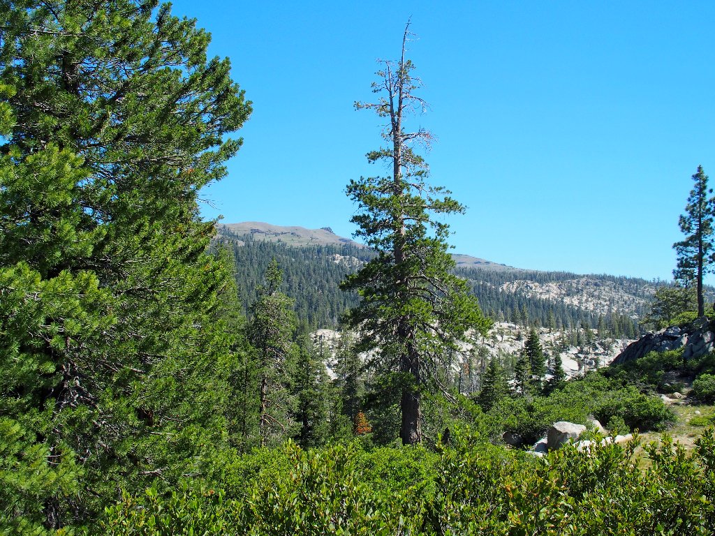
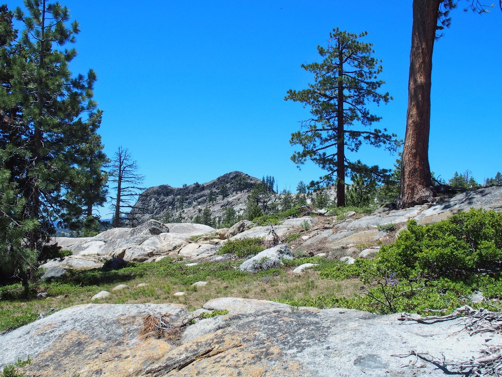
Leavitt Peak and the Sonora Pass area
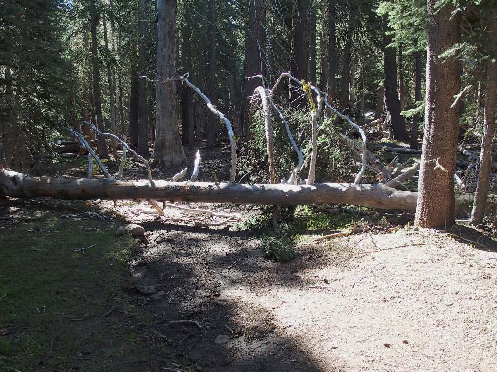
I need to clamber over this one as well
It's a 400-foot drop to the meadow.

Corn Lilies at Duck Lake
Heading for the water
Reservations not required here
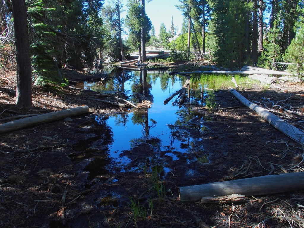
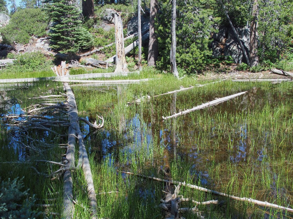
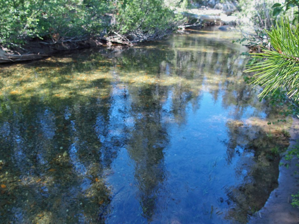
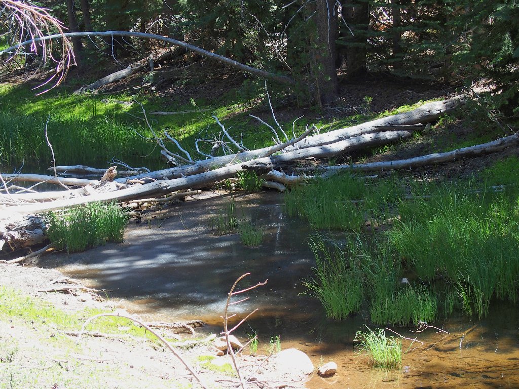
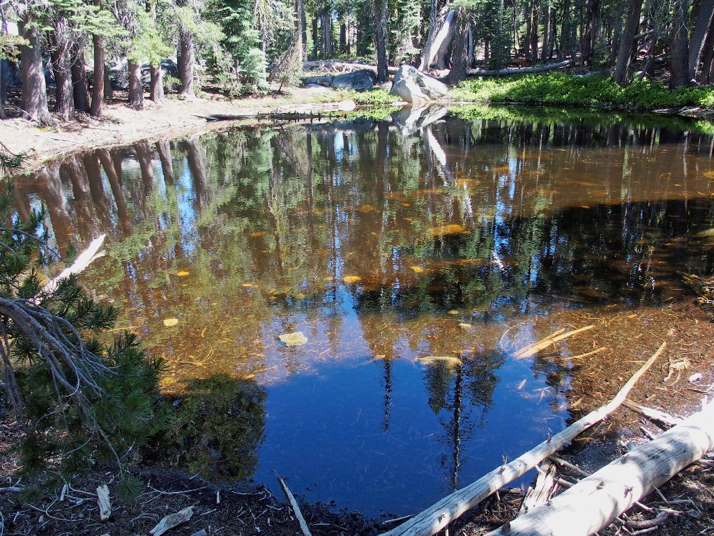
Random pond
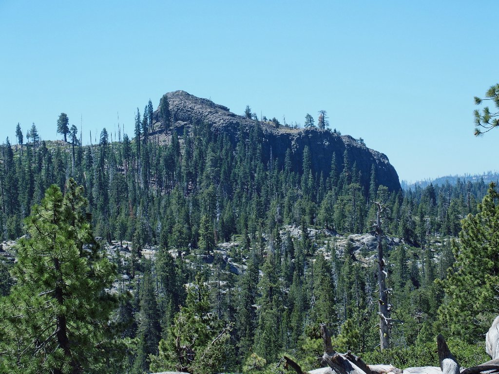
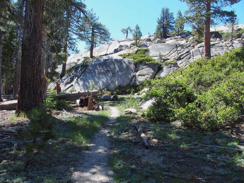
The view north
The view south
Lots of ducks are conveniently placed, and I am constantly
on the lookout for them. Sometimes, though, they are not
enough; for several times I find myself traipsing cross-country
in what I assume is the proper direction.
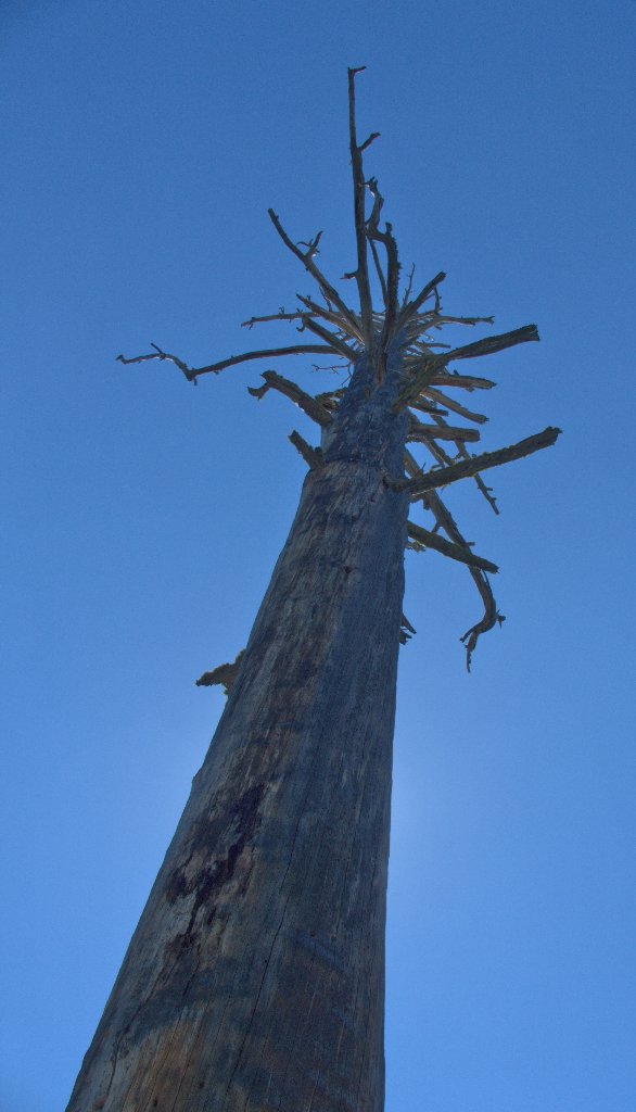
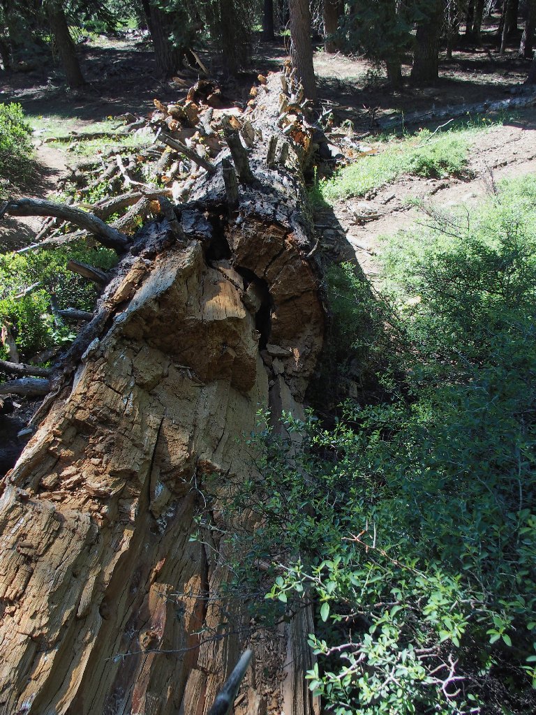
Even in death, it is majestic
There is an occasionally verdant area next to an intermittent stream. Sometimes the going there becomes a bit crowded.
At least there is no poison oak

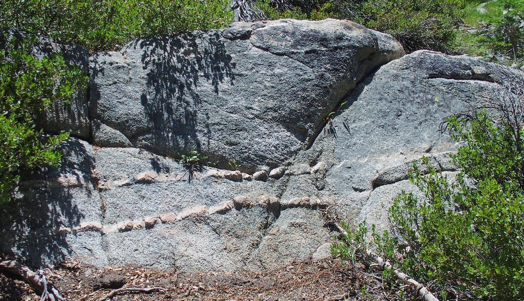
Just ahead is a significant landmark. It takes a bit of imagination to reconcile its name:
Elephant Rock, 7425'
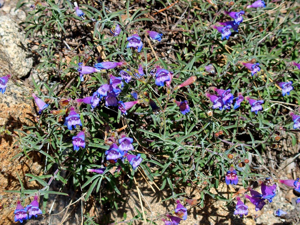
Royal Penstemon
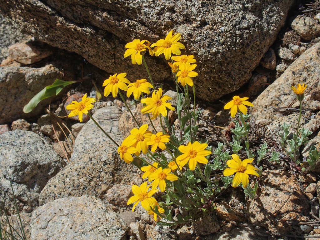
Woolly Sunflower
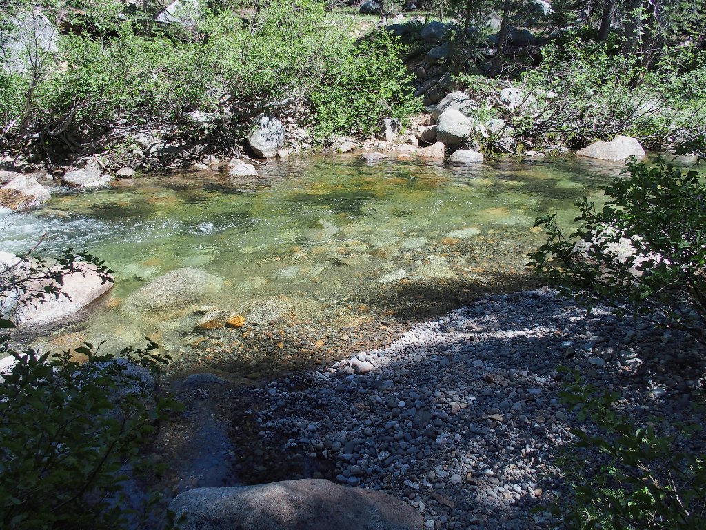
Presently I encounter an unexpected obstacle:
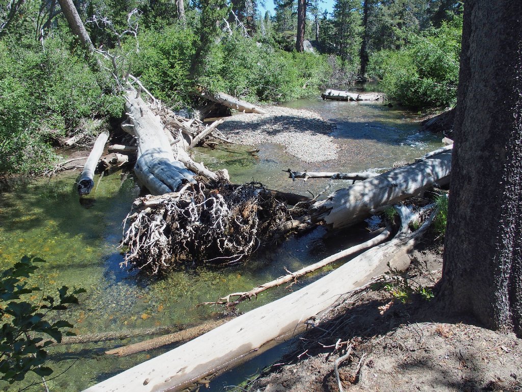
North Fork Stanislaus River
It's too deep to wade here with boots on. Although it would be easy enough just to remove them at this easy ford, I hunt for an alternative solution, and find one about two hundred feet upstream.
One of my more interesting crossings
Shortly afterwards, a tiny creek poses less of a problem:
This one is easy
After losing the trail once again, I see a body of water and head for it.
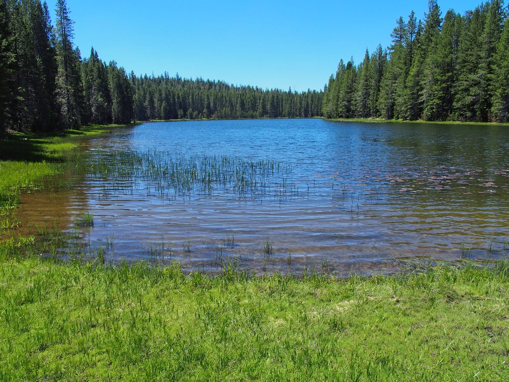
Elephant Rock Lake
I recall having gone skinny-dipping here some 45 years ago,
which my mother-in-law enjoyed.
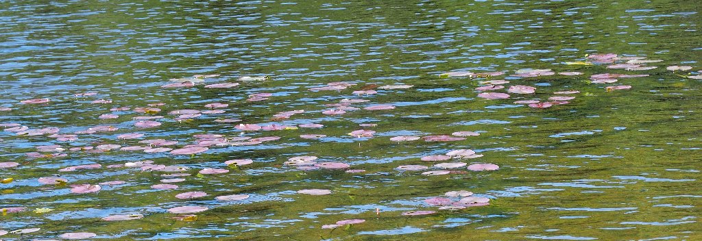
Water Lilies
Elephant Rock Lake actually is outside the wilderness area, probably because a forest road enables fishers to drive almost all the way up to the south end of the lake itself. Perhaps I should have done that myself.
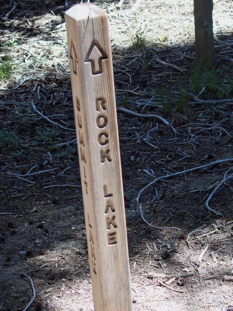
These signposts are virtually new
By hunting around, I find the next important trail junction,
which features state-of-the-art markers showing the way
to chronically unmaintained trails. Go figure. Oh
well, we mustn't let the fishers get lost.
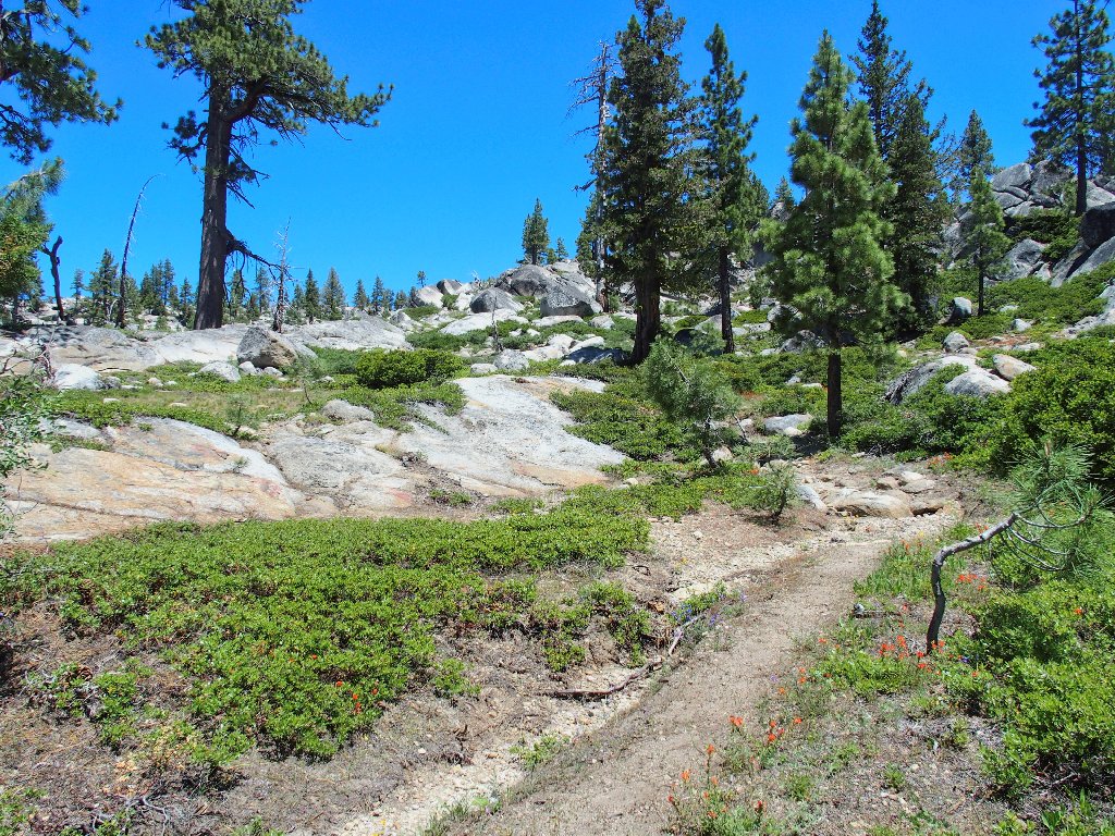
The nice sign points to Rock Lake, and that's where I'm headed. Almost immediately I encounter a forest that was burned out many years ago.
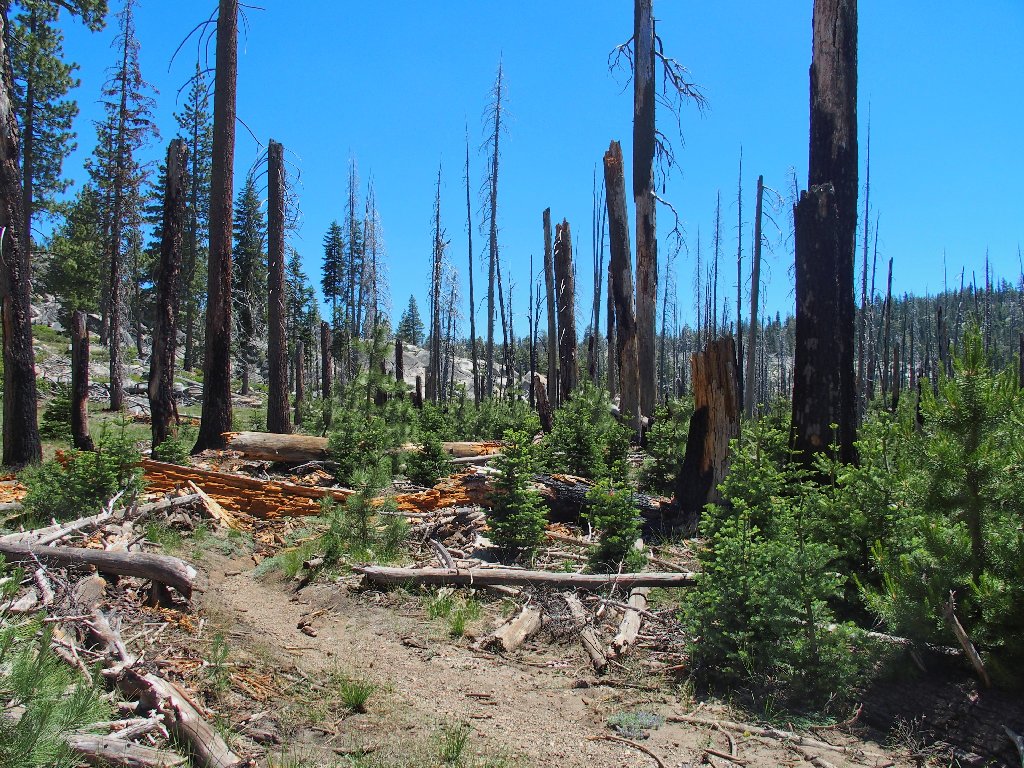
It's strangely beautiful with some new growth in place
Of course, dead trees means fallen trees, which means more work than ever. Again and again I lose track of any semblance of trail; only my map and GPS keep me from heading up the wrong canyon.
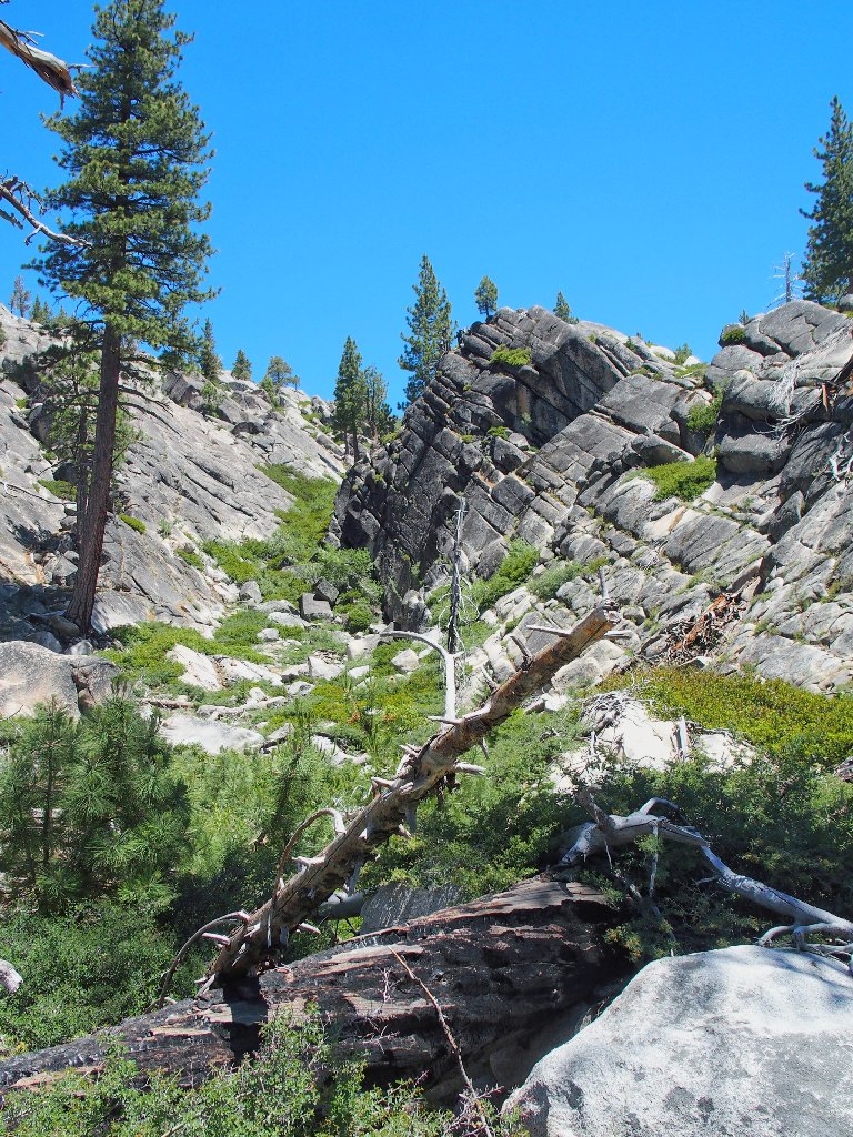
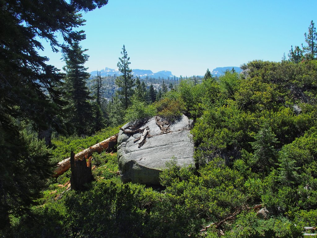
Nice rocks
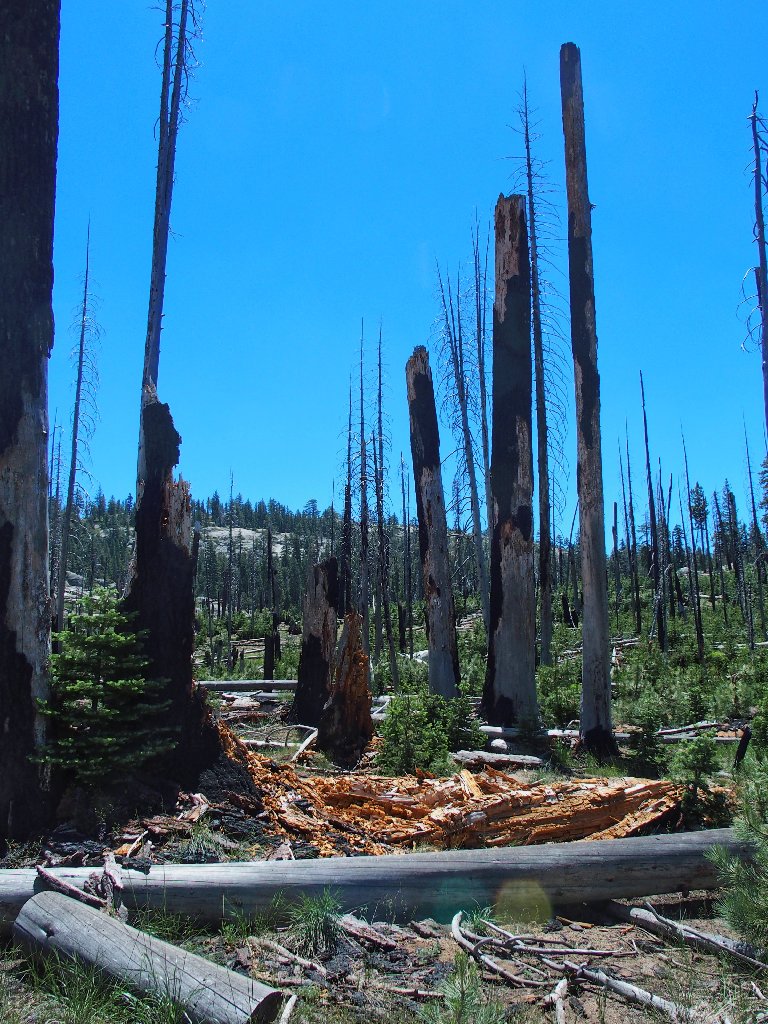
Not-so-nice devastation
Two strapping young gentlemen approach from the other direction. This is good, for it means that they did find some semblance of trail over where I am heading.
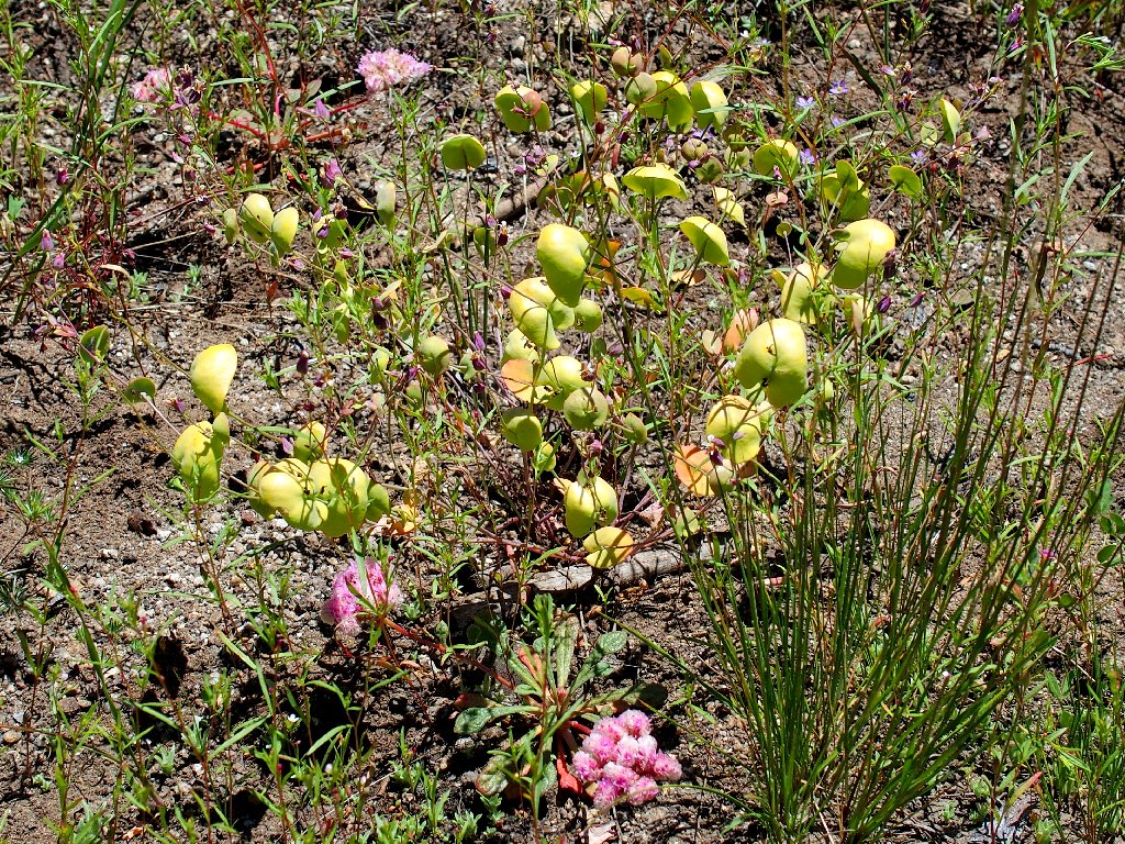
Jewel Flower
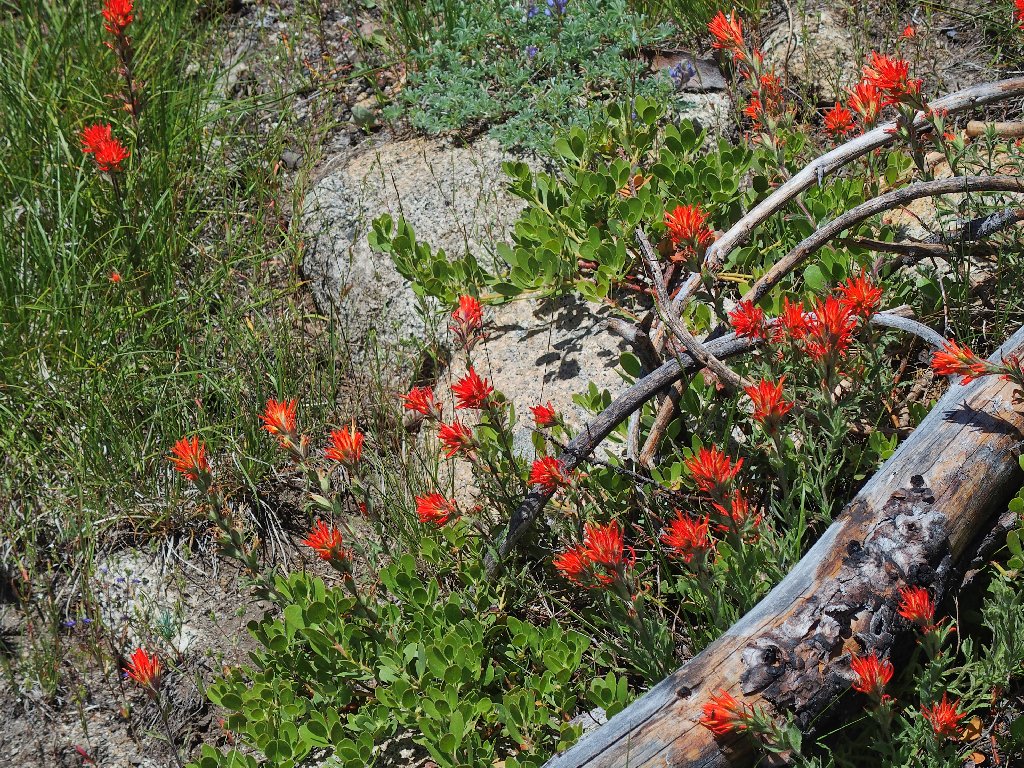
Wavyleaf Indian Paintbrush
Is it getting better?
The back side of Elephant Rock
Habitually, when losing track of a trail, I would simply head in the direction of the next waypoint as indicated by the compass, and that would do the job; of course, that might necessitate some bushwhacking along the way. More recently, I have strived to return to where the trail was misplaced and try to find its continuation, thereby avoiding any rough stuff.
Today, however, re-acquiring the trail is easier said than
done, even though useful cairns have been stacked in many
places. I spend the next quarter-mile in what feels
like my roughest bushwhack ever.
Now there's a trail...
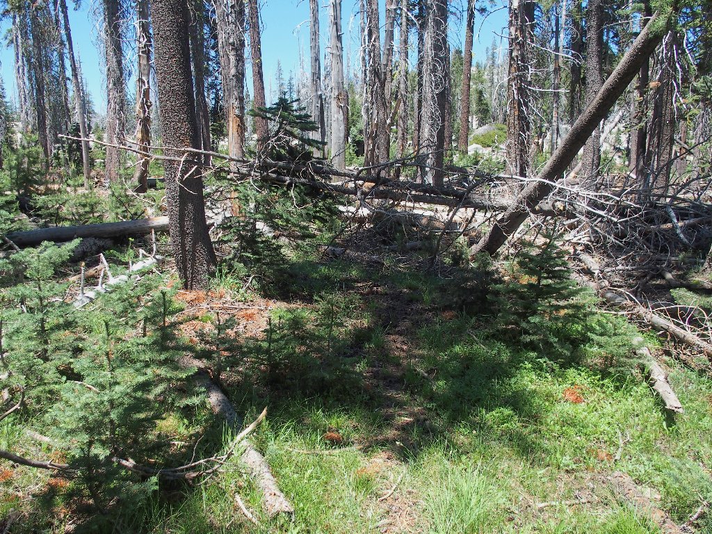
...now there isn't
Actually, that last photo doesn't begin to do justice to the
difficulty I encounter in here. It's bad enough to be
traversing a burned area where fallen trees are everywhere;
but when countless new-growth pines fill much of the
remaining space, there literally is no room to walk at times.
For a while, I am too busy trying to prevent a sprained ankle to
pause for photographs.
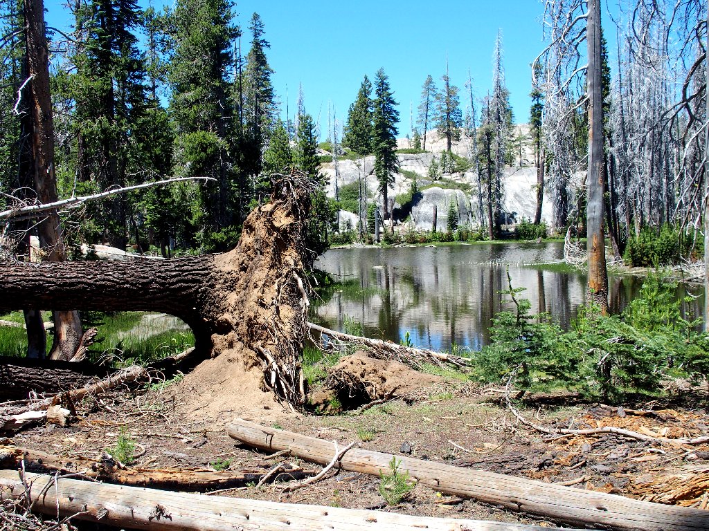
Also, I now am some 300 feet above the next objective; so I concentrate on heading downhill. Eventually I do regain the trail and make my way down to Rock Lake, where it is time for some serious relaxation and recuperation.
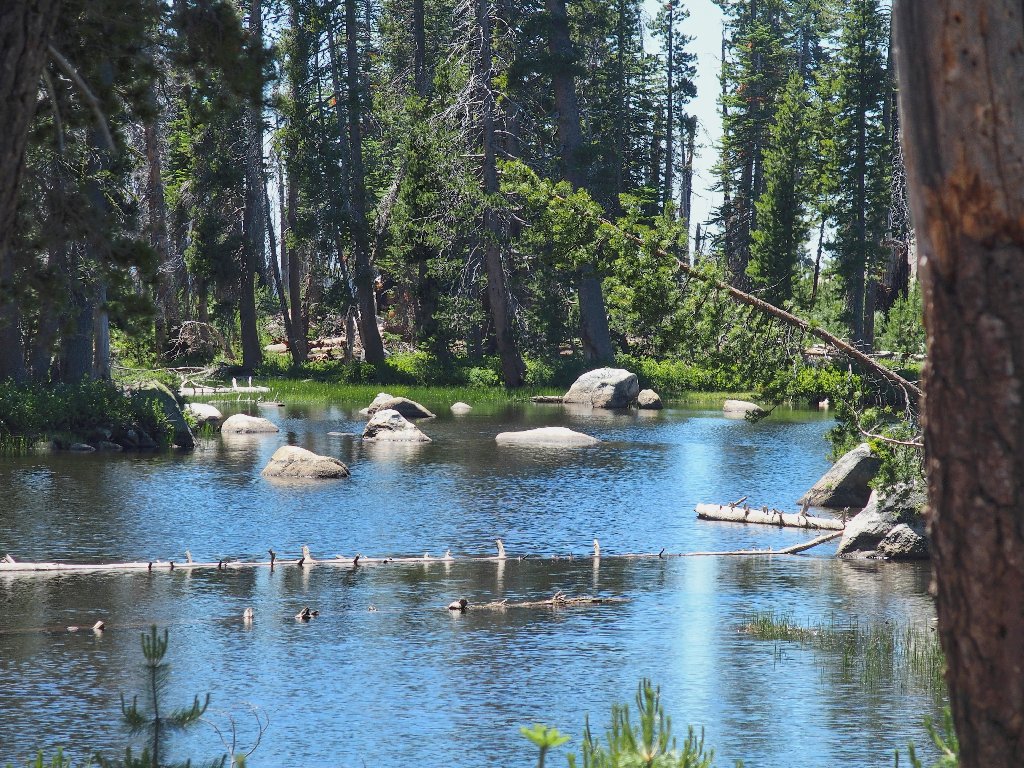
The lake has rocks in it
While soaking my feet at the shore and munching some grapes and gorp, the local insects are doing their thing.
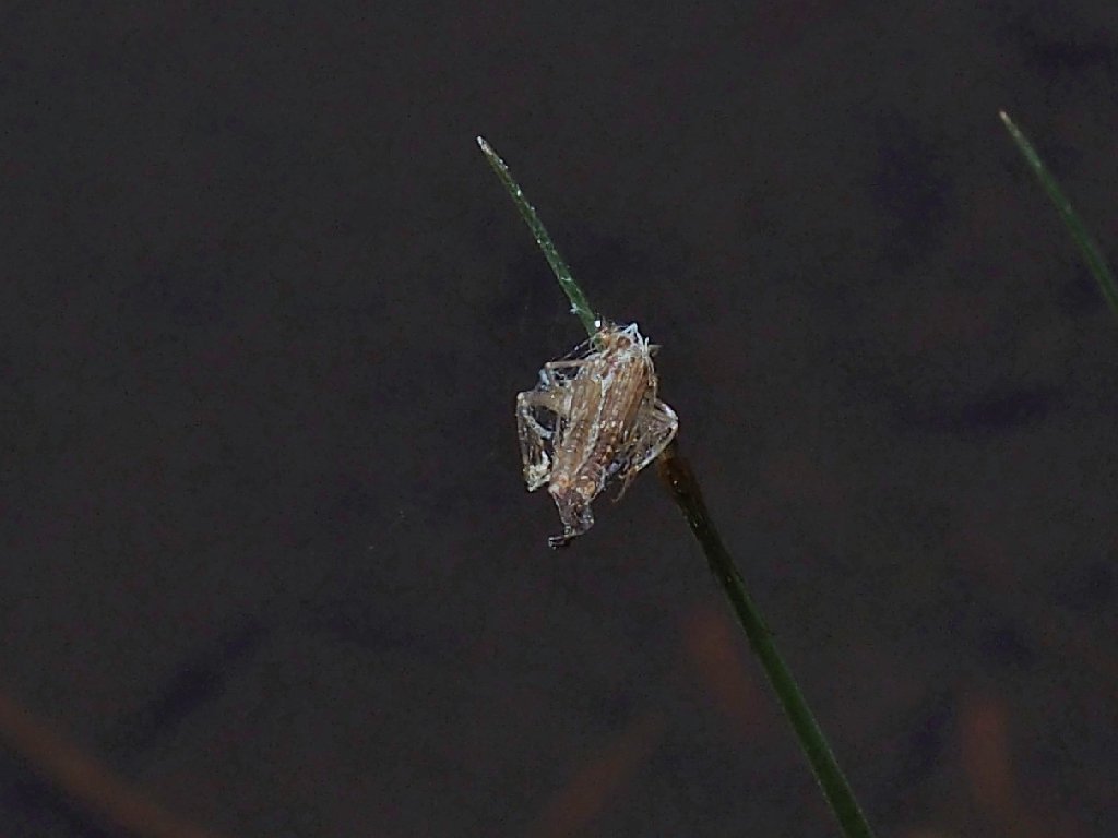
All wrapped up
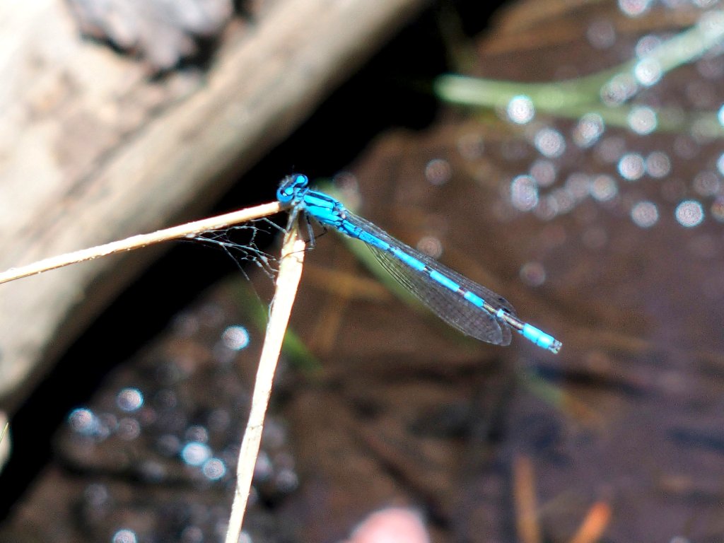
Just hanging out
No mosquitoes are bothering me, which is good. I briefly toy with the idea of going for a swim; but the lake bottom is murky and possibly unsuitable for bare feet, so I pass on that idea. Besides, I already am weary, and several more miles of 'trail' await me.
For the next mile I do manage to keep track of the route. Then it is time to revisit the North Fork, which I had forgotten about.
There are no fallen trees to assist me this time
The river bottom is not as friendly here as at the previous
crossing; I would not care to try it barefoot. After
searching in vain for some helpful rocks or logs, I shrug my
shoulders and ford the creek, boots and socks and all —
which actually is a first for me. I can only wonder what
it will be like, walking the rest of the way with soggy feet.
A two-mile, uphill slog remains
I now am completely out of drinking water, and once again I
didn't bother to pack my filter. This was supposed to
have been a relative stroll in the park on well-established
trails. It seems that I still have not learned my lessons
about preparedness for the unexpected.
I had filled a bottle from a little stream, but was hoping not to have to use it. This last uphill grind, however, is doing me in. Being virtually exhausted by now, I am stopping every few minutes to rest; and finally I can take it no more. I guzzle most of the unfiltered water, hoping that a dead bear isn't lying in the creek upstream.
The last quarter-mile of trail is mercifully downhill; then it
is over. As I am preparing to leave the parking lot, the two hikers
show up, having completed the loop in quite a bit less time than did I.
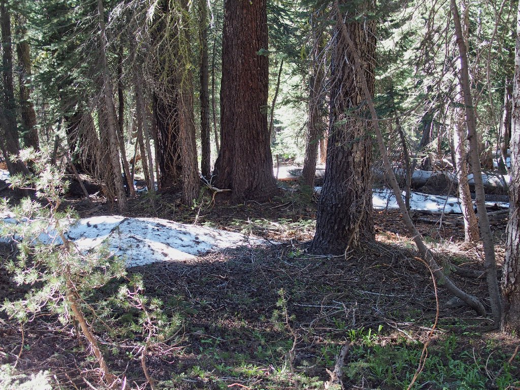
The only snow I saw today

Tunnel tree
§: Well, I certainly got more than I had bargained for
today, but not the sort of "more" that is wanted. Subsequent
research revealed other serious hikers extolling the difficulties of
negotiating this area. I guess that I am glad to have done it,
for now I can cross it off my bucket list. I most certainly
would not return, however; nor would I recommend this hike.
The scenery is sub-par and simply isn't worth the extra effort.
On the other hand, if you fancy a good exercise in route-finding
and navigation, this loop might fill the bill. As for me, I actually
upgraded the hike's rating solely because I survived it unaided.
| Scenery |  |
| Difficulty |  |
| Personality |  |
| Solitude |  |
| Adventure | |

ADDENDUM
I would have it known that in no way am I blaming the Forest
Service for the pathetic state of the trails I encountered
today; I'm sure that they do their best. The reality is
that they are constrained by their budgets, which are hopelessly
under-funded these days.
Because the person currently in charge is an avowed enemy of America's Best Idea, the situation is not likely to improve. By the time his term is over, we'll be lucky if anything at all remains of the National Park System.
For that and other reasons, I entreat you to do your hiking (and traveling in general) while you still can. Your children and grandchildren might well be denied the opportunity.
