Yosemite National Park
|
Mount Watkins Overlooks Yosemite National Park |
August 7, 2023
Two years ago, I took friends Gary and Sharon to this trailhead; but then I bypassed a key trail junction and we missed all the best stuff. That will not happen today. Local friends Eileen, Cindy, and Dave also are in tow, so I had better get it right this time.
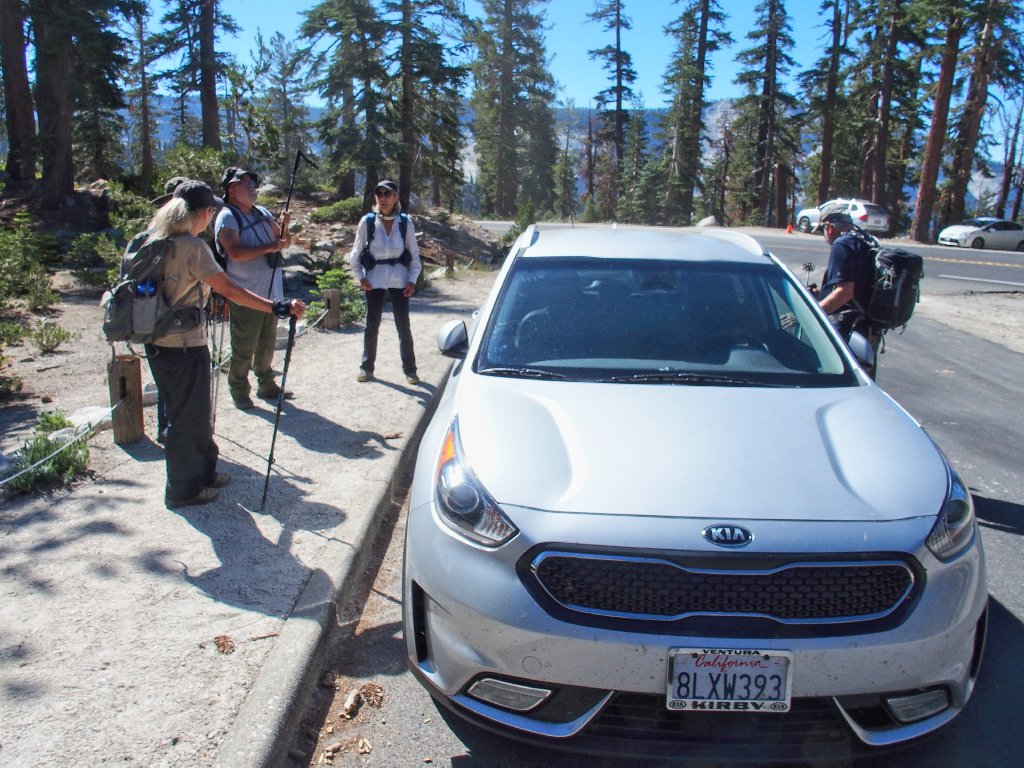
Getting started at the quarry gate
Immediately, however, there is some confusion, because a brand-new section of trail has been created apparently to avoid the necessity of walking on the quarry road. That is good, I suppose, because big trucks are rolling in and out of the quarry as we stand here, due to all the maintenance work caused by the recent record snowfall.
Because everyone seems to want to do so, we start up the new route; but as soon as
possible, I detour us back onto the
Bypassing the busy quarry road
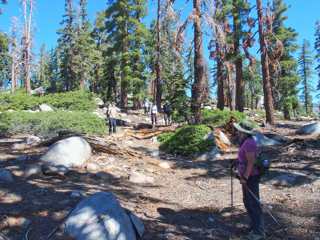
Back on familiar ground
Now, with GPS in hand, I watch anxiously for the trail junction that will make our day if we take the proper turn, or will ruin it if we don't.
Here it is. Time for a left turn
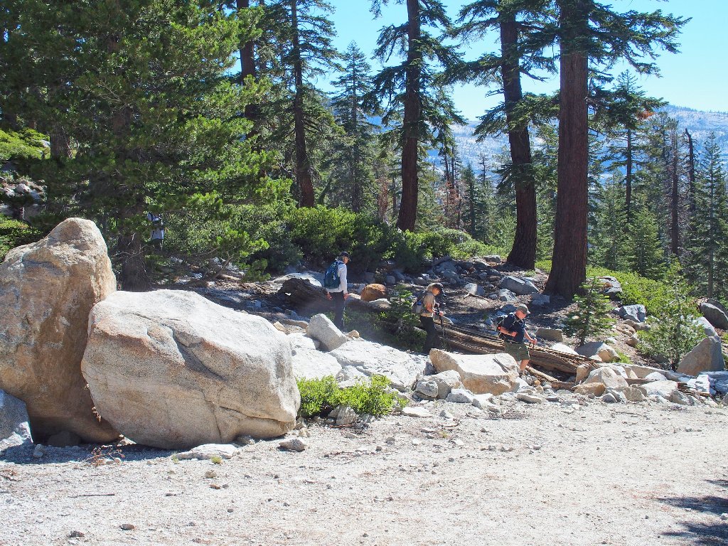
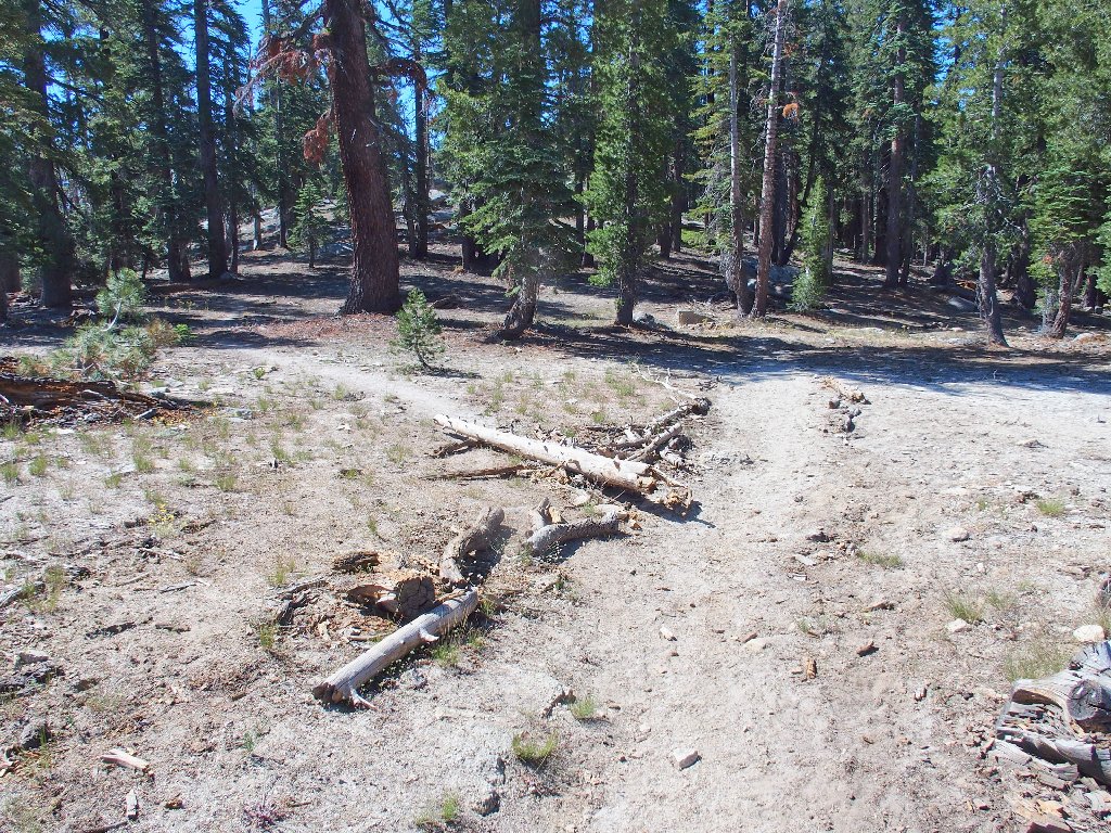
It's a 400-foot descent
Two youngsters overtake us, then promptly disappear
White fir, I believe
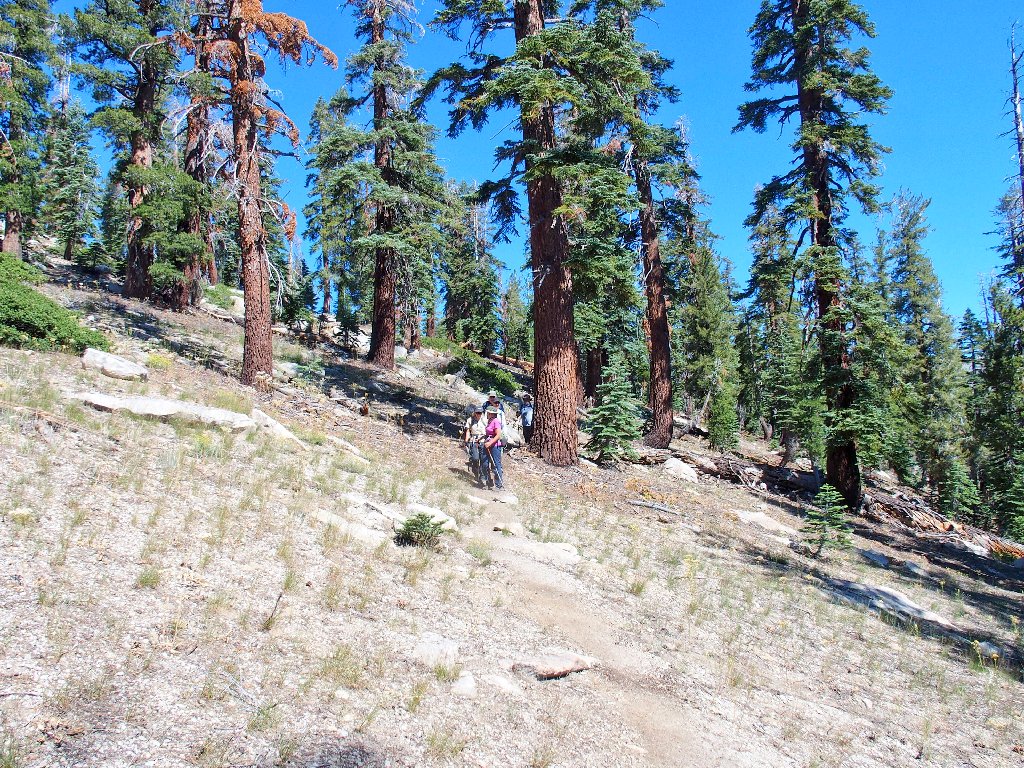
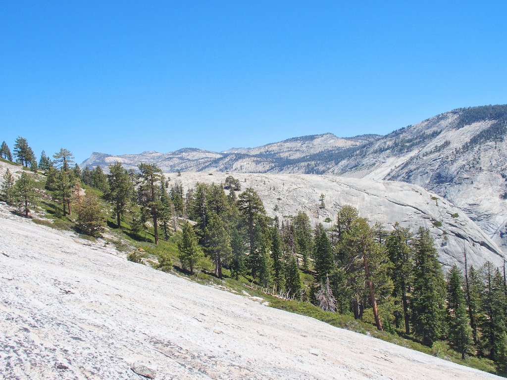
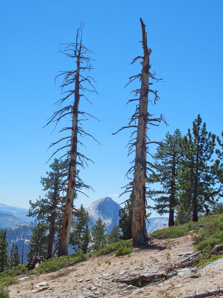
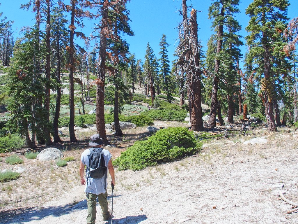
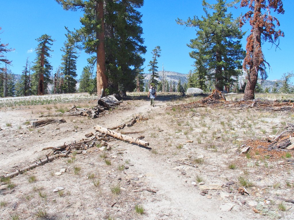
No scenery yet, but it's coming
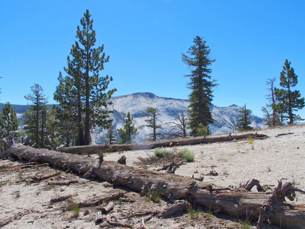
There's Clouds Rest
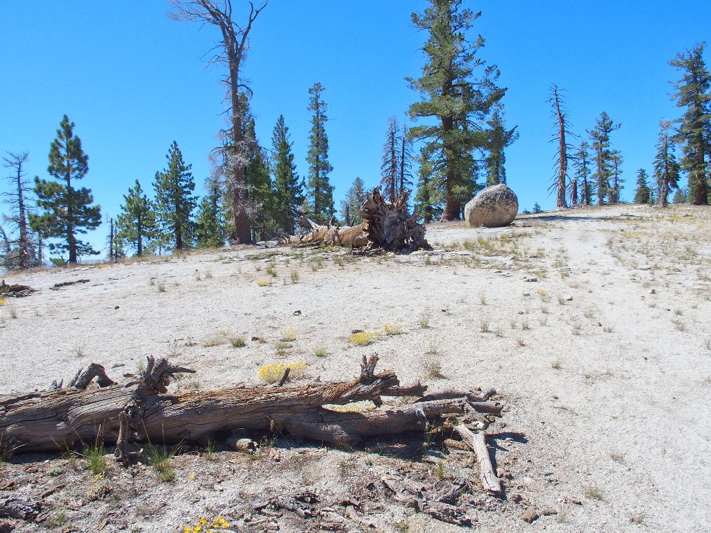
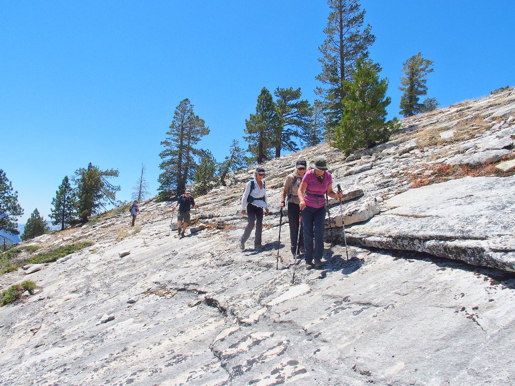
Not your typical hilltop climb
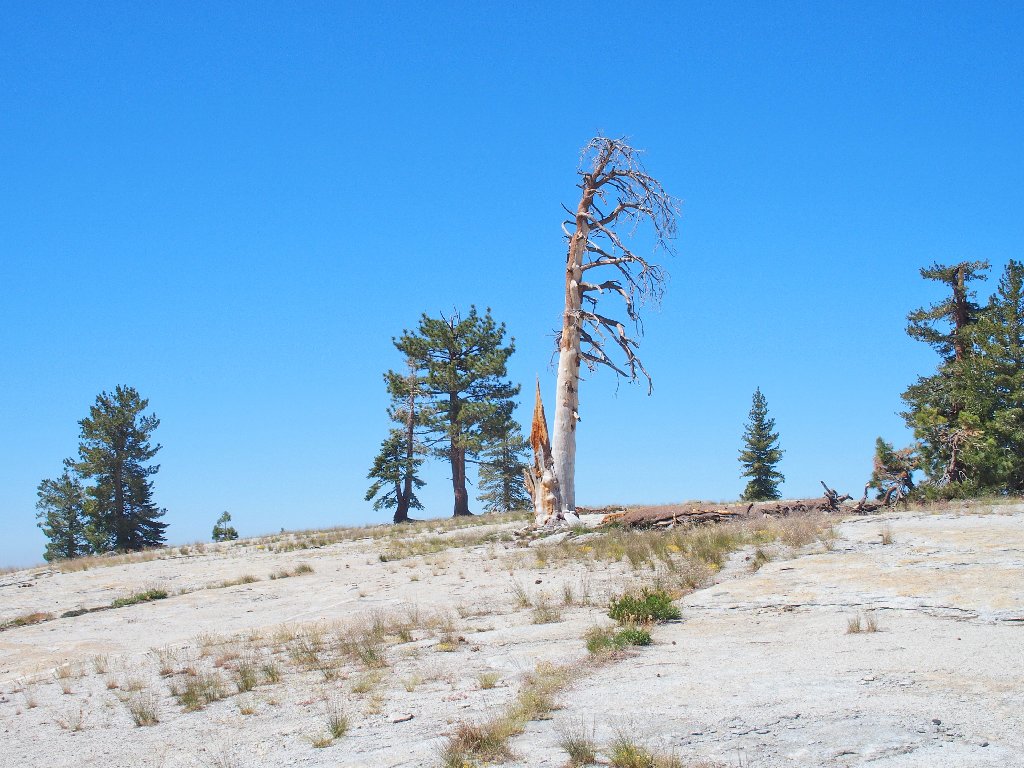
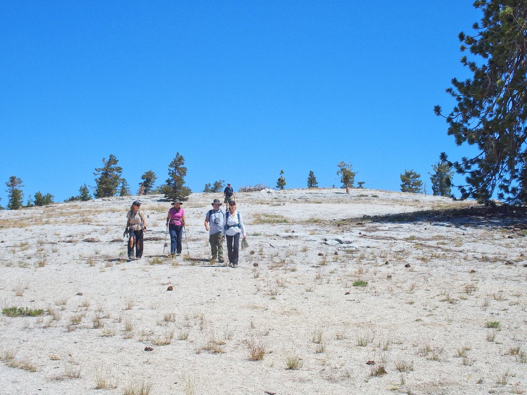
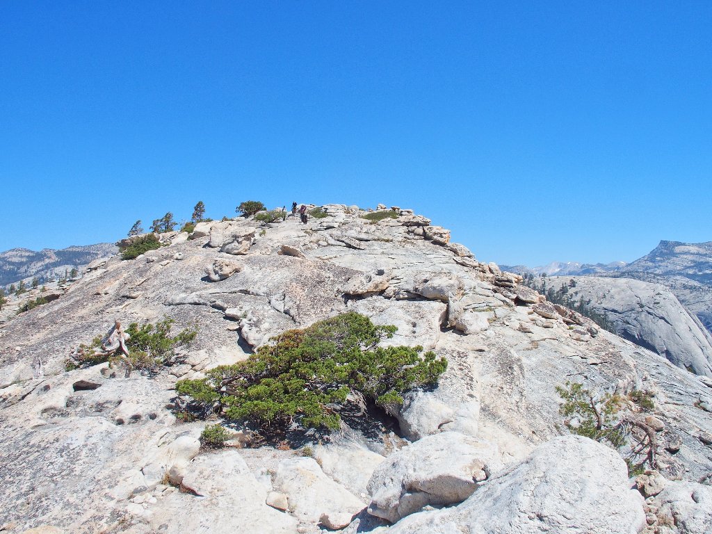
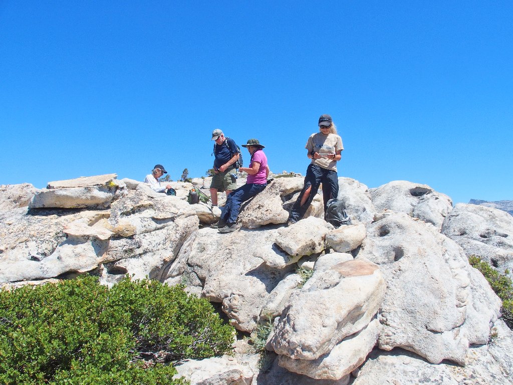
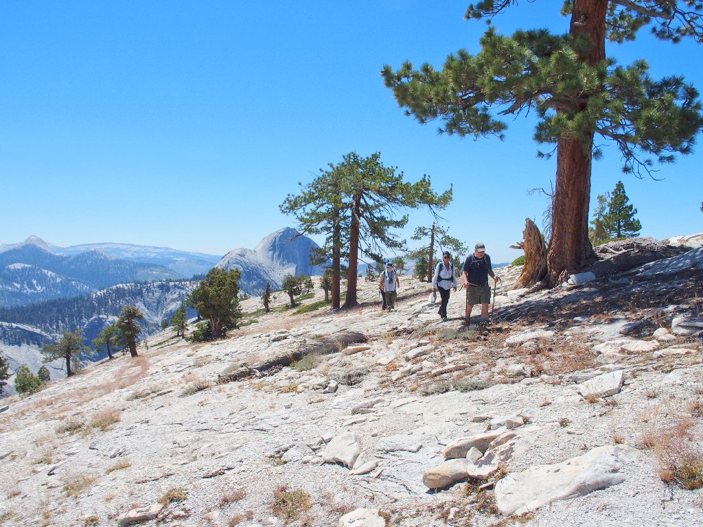
Approaching the summit
Almost there...
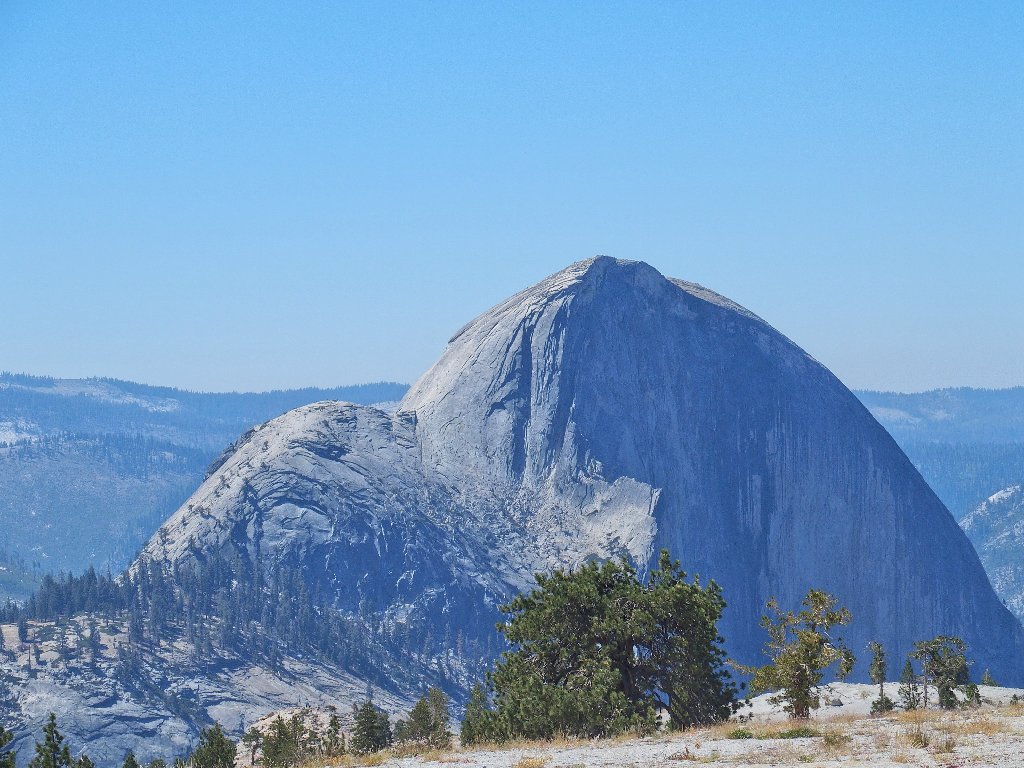
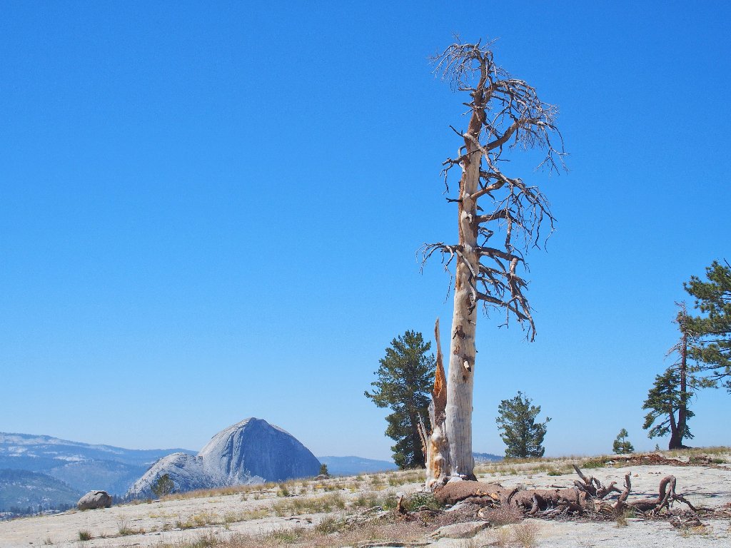
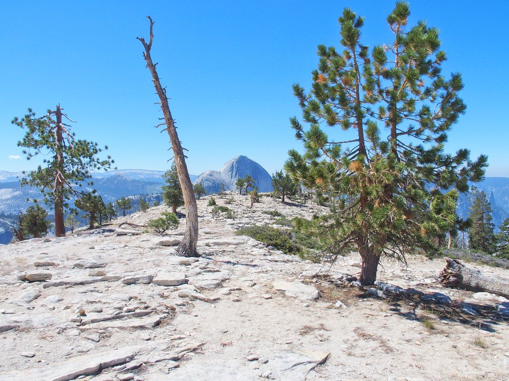
Made it! There's Half Dome, 8839'. We are at 8500'
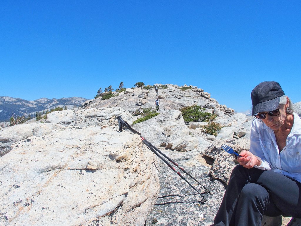
Ah, but this is not the destination; for we still can traverse nearly another mile closer to the major valley features.
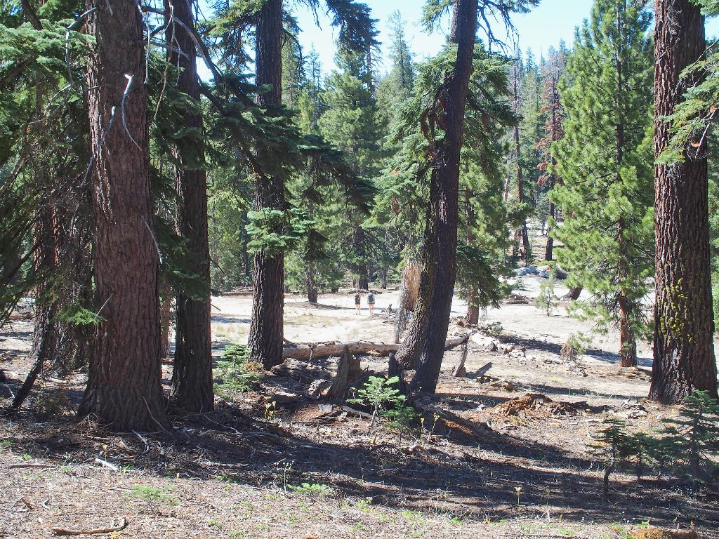
Starting toward the overlook
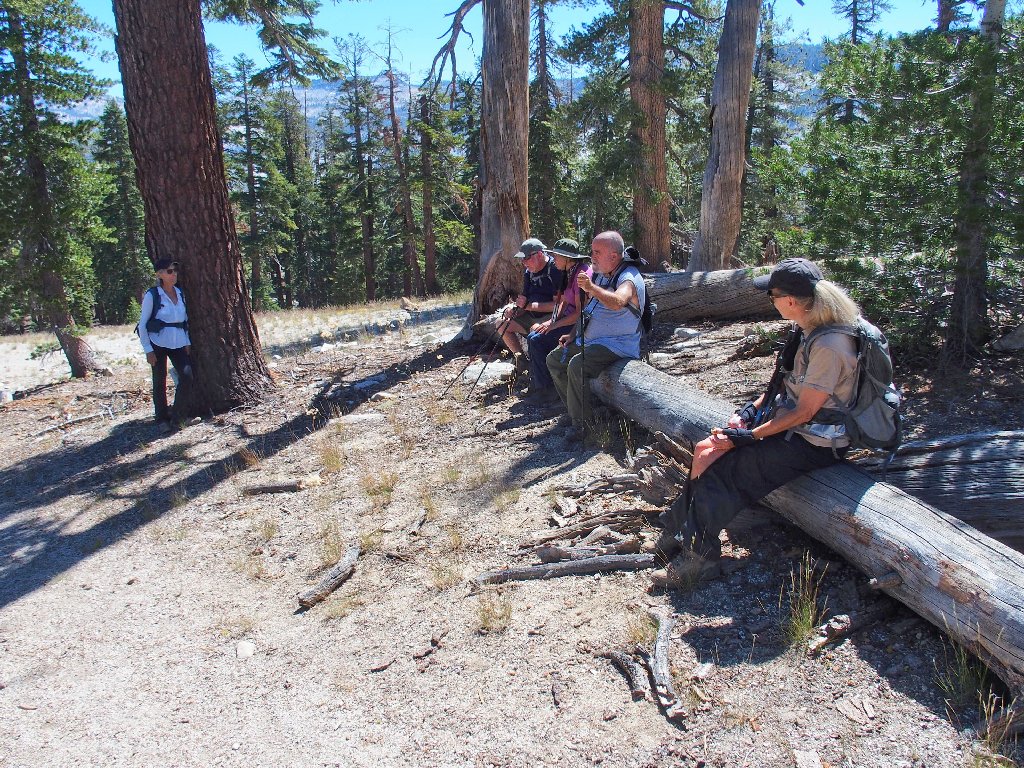
This is a fun place
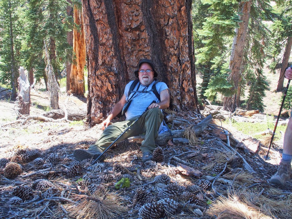
Dave has leg problems today that are slowing him down significantly. He stops here under a tree, telling us to go ahead, planning to await our return. This is not good, for he will miss out on so much.
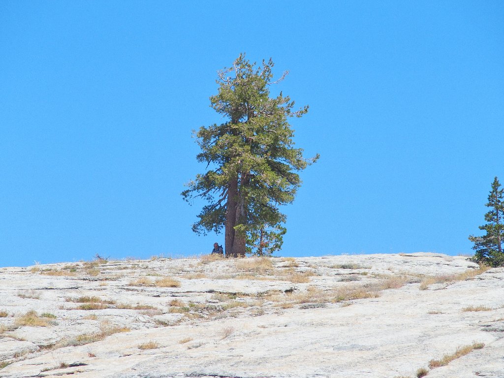
Dave says that he will wait for us here
I haven't told Cindy, but the last rattlesnake I saw was right in here somewhere;
in fact, I narrowly avoided a close encounter with it.
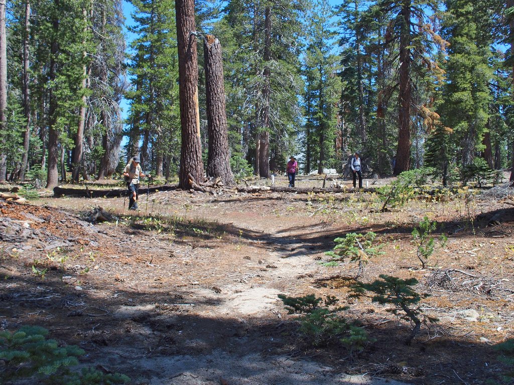
Why are they always so far behind?
Reaching the edge of the hill, I see the two young women that passed us earlier, sprawled out on the rocks ahead.
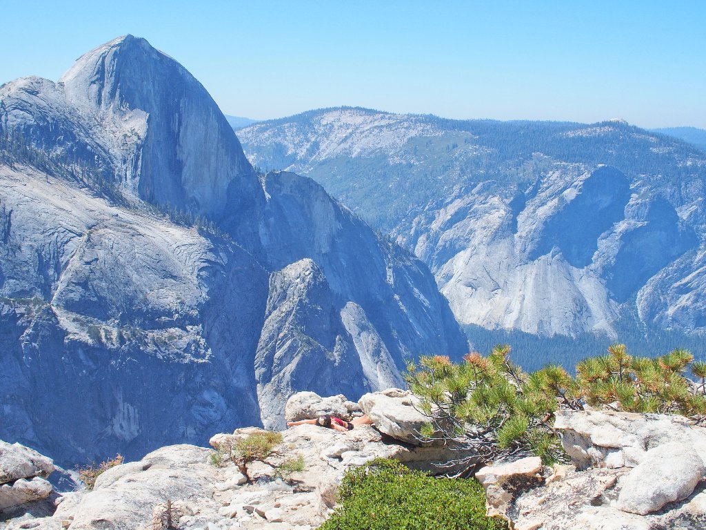
We have interrupted their reverie
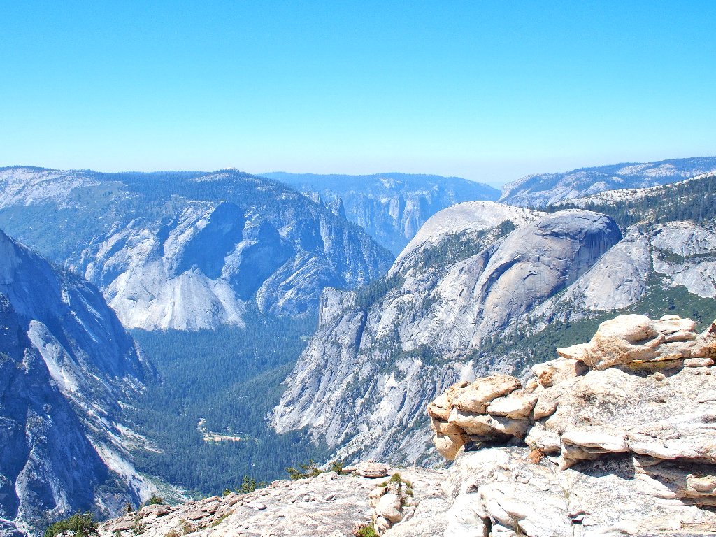
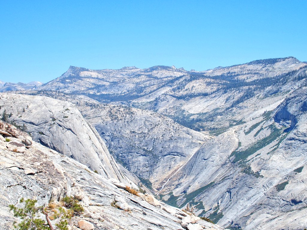
End of the line
We now are atop the Watson Pinnacles. Actually, we could safely scramble farther down a steep incline for another hundred yards or so; but that would be difficult, and I don't believe that any views would be improved.
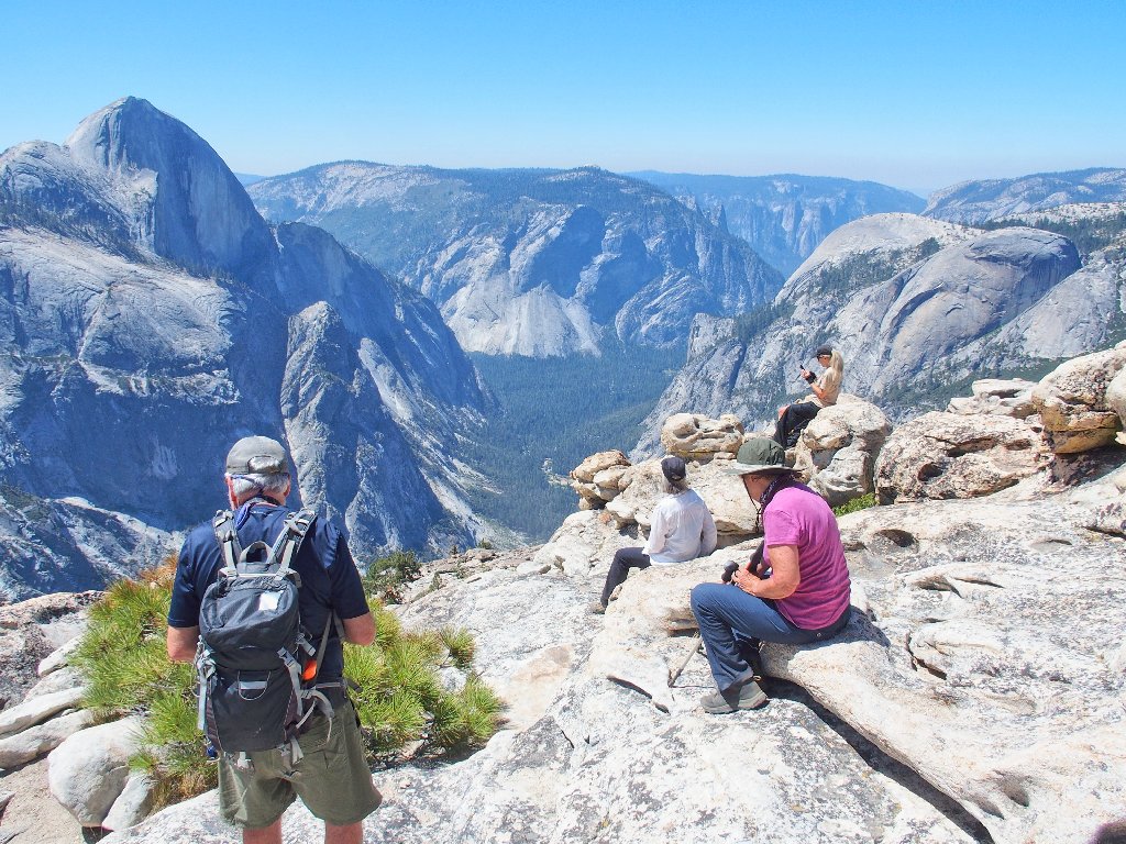
Glacier Point and Sentinel Dome at left-center; Basket Dome and North Dome
on the right
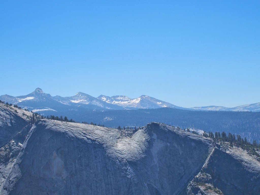
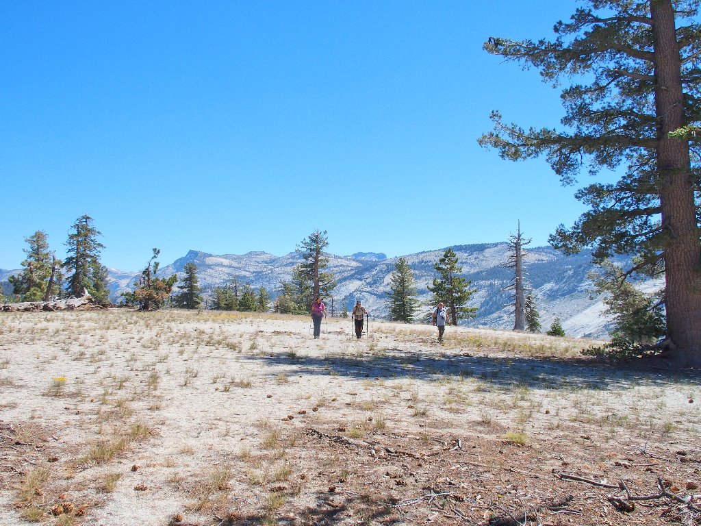
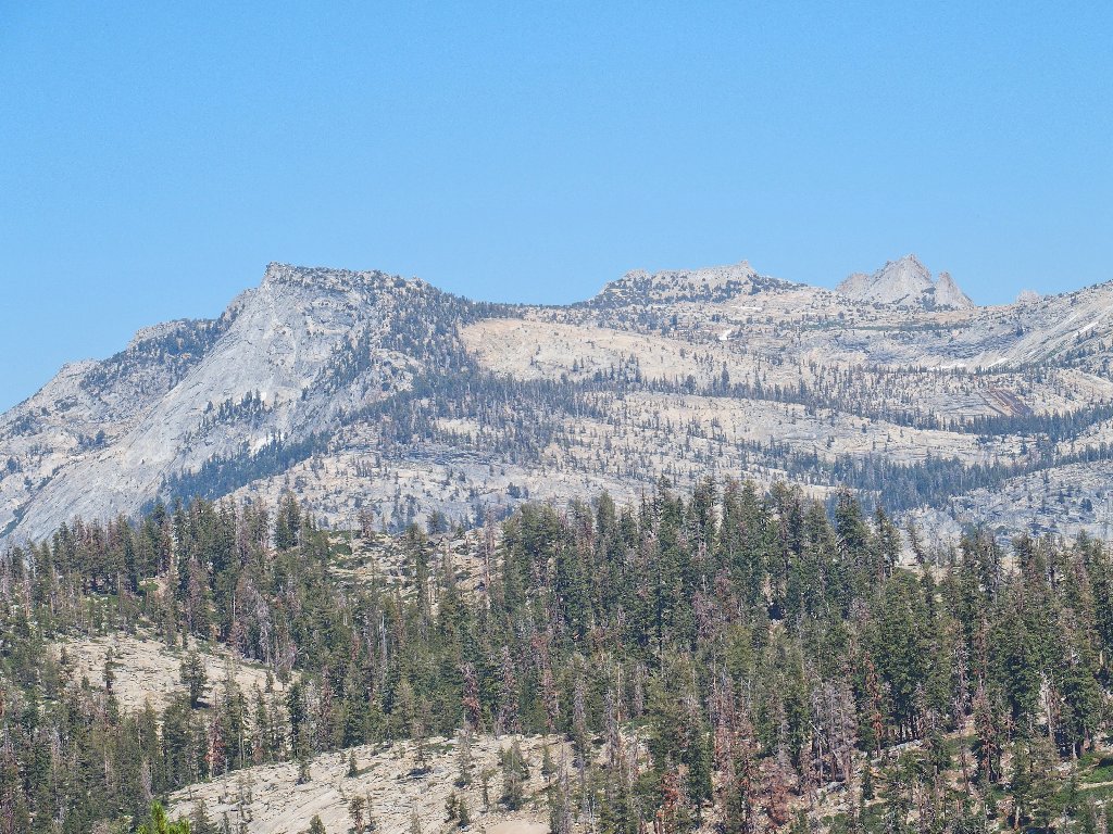
The park's highest peaks are eastward
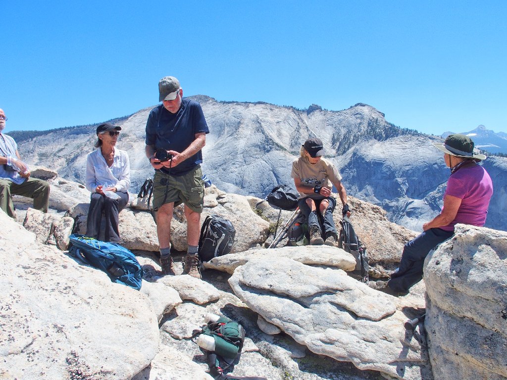
It's lunch time
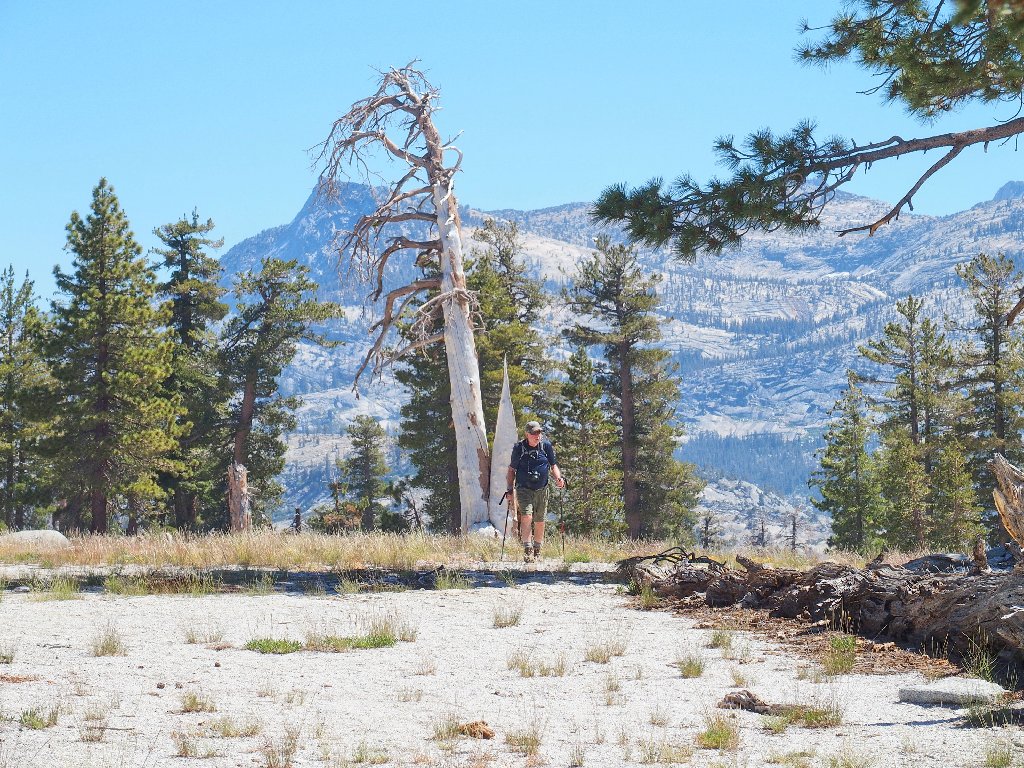
Here comes Dave! He must have smelled the snacks
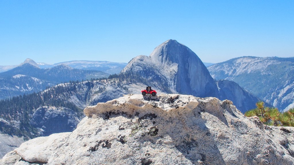
Carmine is having a good time as well
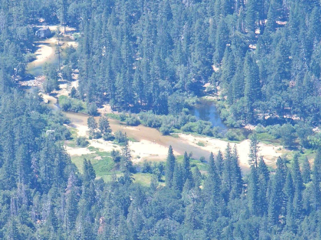
Tenaya Creek is more than 4,000 feet below
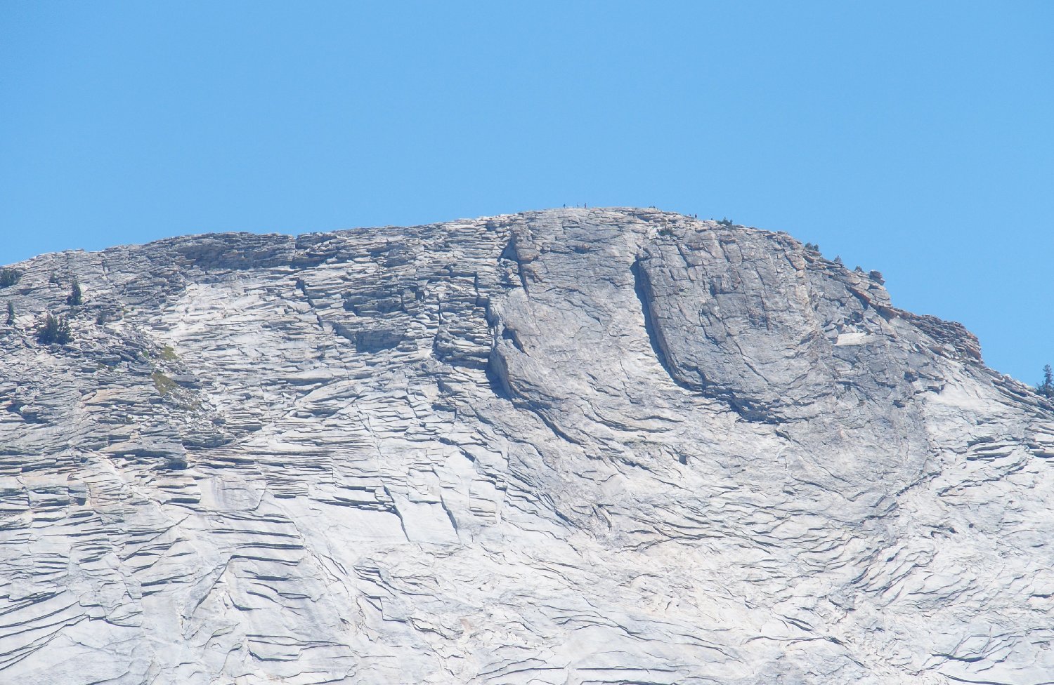
I have brought along a little 30× zoom camera for this occasion. This is what it does for me from two miles away:
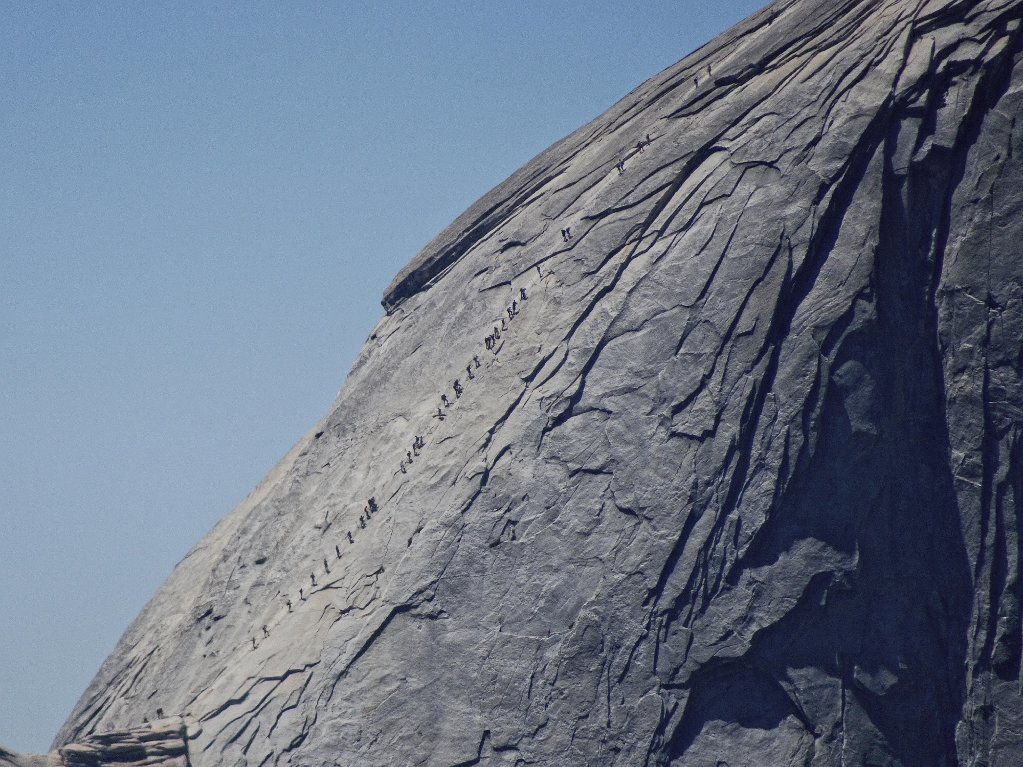
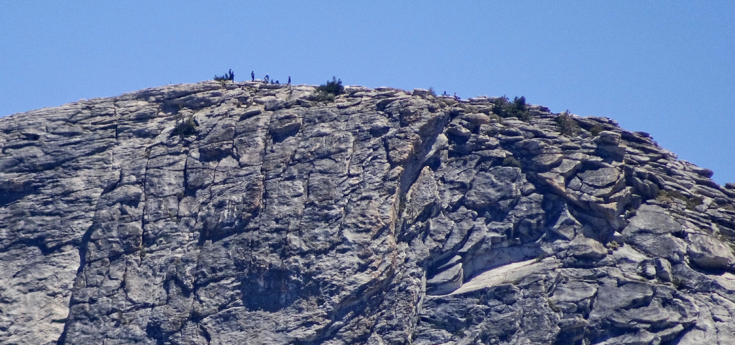
Plenty of action on the Half Dome cables ⇔
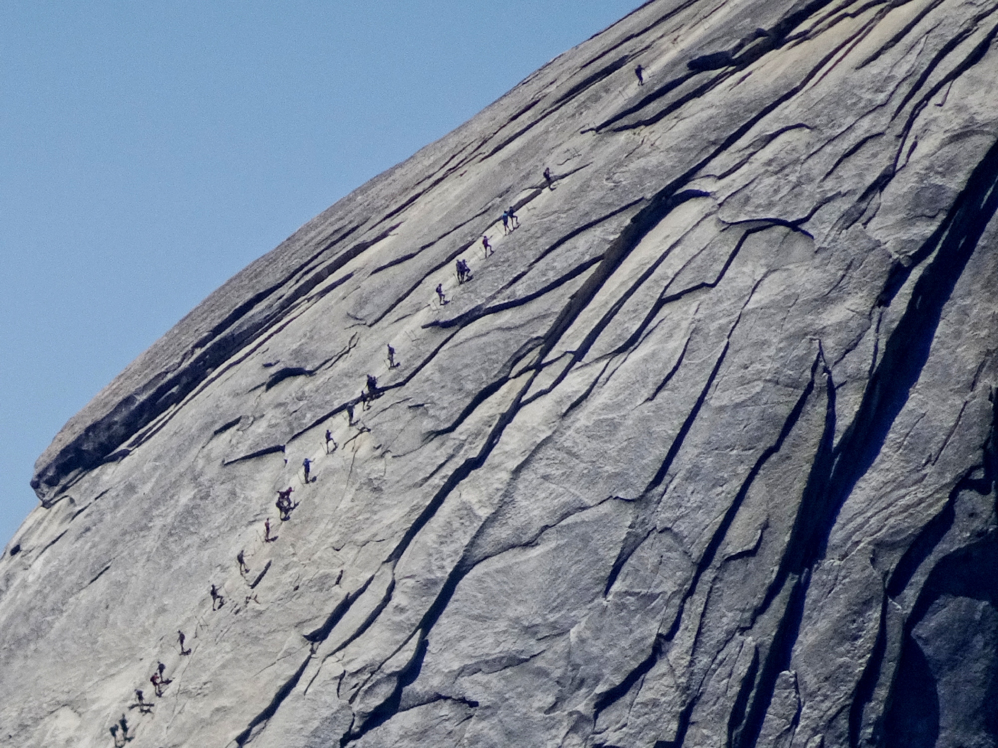
Most are incurring the greatest thrill of their lives ⇔
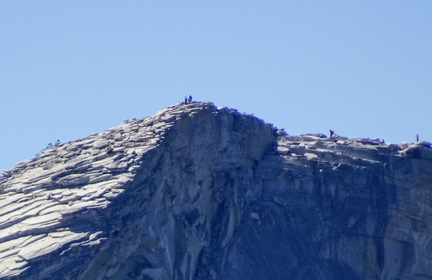
Life at the top. Been there, done that — three times
And I would happily do it a fourth time, too, if someone would carry my supplies up to Little Yosemite Valley and prepare my meals. It has been 62 years since my original ascent.
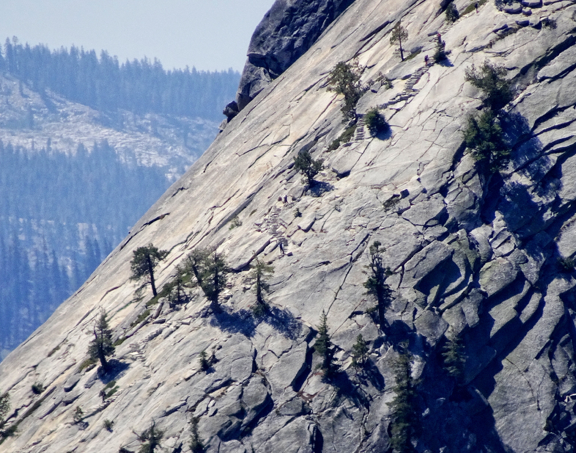
Zoom in to view seven hikers utilizing the hundreds of stone steps on
Sub Dome ⇔
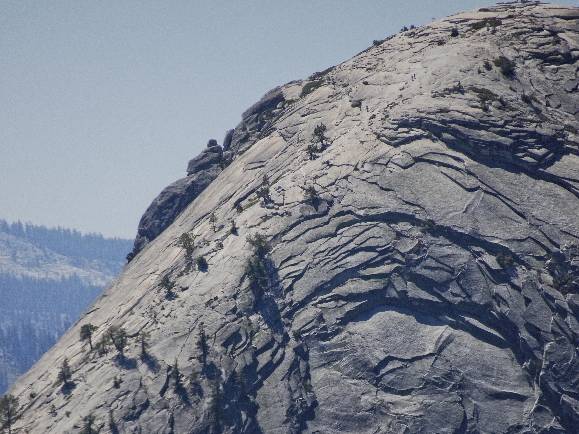
The stairsteps no longer are needed near the top ⇔
Hanging out on Clouds Rest, 9931'
Gary speculates as to whether this is the best viewpoint in the park. It is marvelous indeed, but I always will give the top honor to Washburn Point on the other side of Yosemite Valley.
This point is noteworthy in another way. In 2012, Alex Honnold and Tommy Caldwell
climbed Half Dome, El Capitan, and Mount Watkins in a single 24-hour period,
finishing one of the climbs right where we are having lunch!
The 7,000-foot Yosemite Triple Crown had been done previously, but Alex and Tommy were
the first to free-climb it (no ropes). Subsequently, Alex became the only
person ever to solo the Triple Crown; and he did it in just 19 hours, having
free-climbed an estimated 95% of the route. The mind boggles.
Upper Snow Creek Falls are just to the west
Now it is time for Phase II of this outing. The others have no clue as to what is about to happen to them.
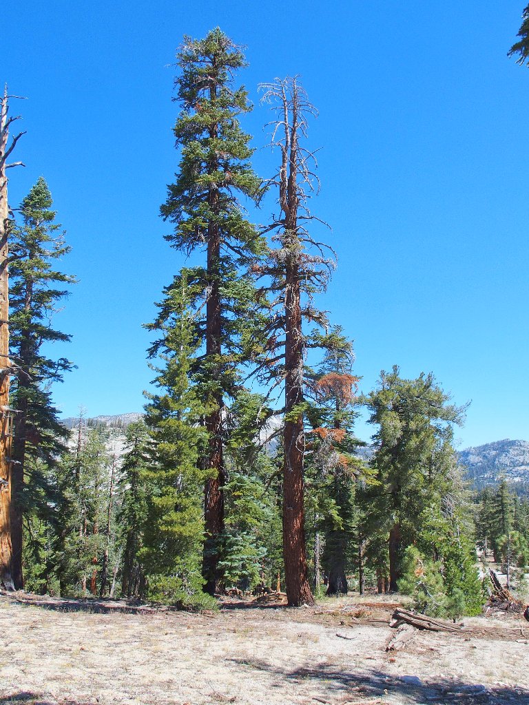
As we start back, the scenery changes dramatically
Rather than traipse up the entire 250 feet to Mount Watkins summit, we cut off to the right toward a second destination.
Beginning the 'shortcut'
The destination is that nearby flat-top rock
Needing to avoid the approaching manzanita jungle, however, we must angle more uphill anyway. This suggests that a better route might have been available.

Somewhat more difficult than it might appear
I do not remember this steep rock slope. Having last been here four years ago to the day, I had called this an easy traverse at that time.
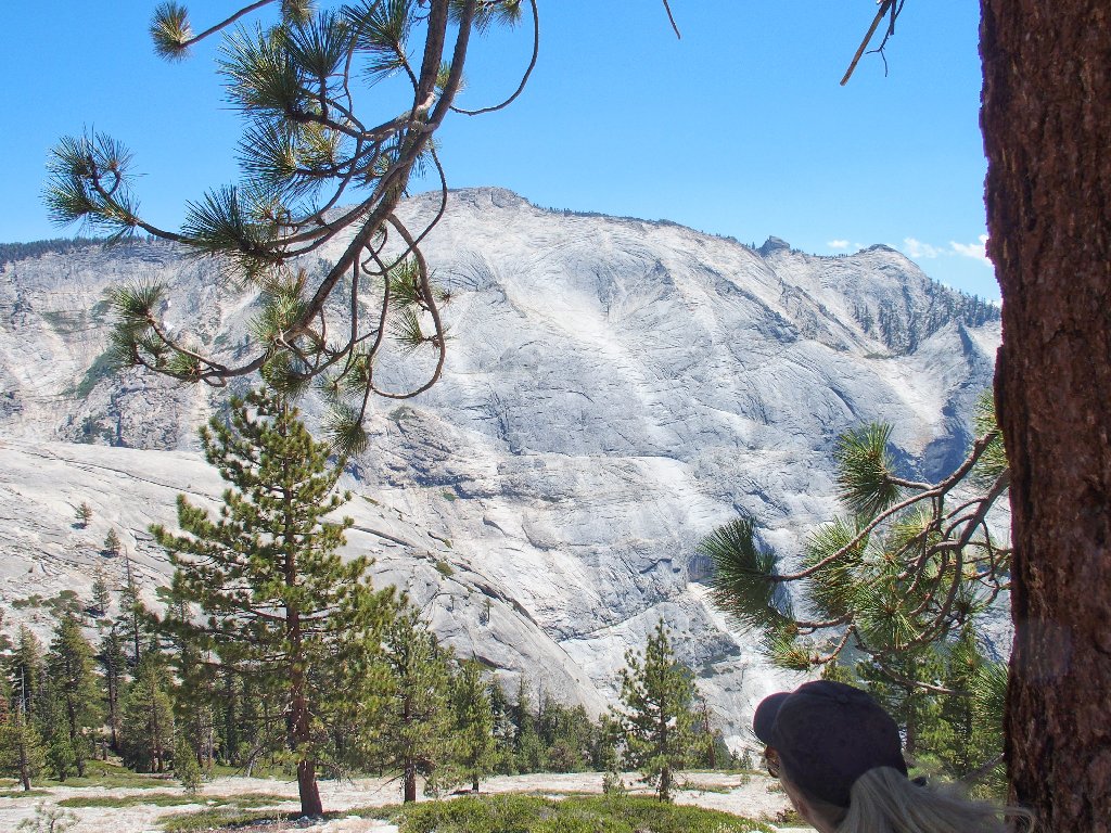
That's the world's greatest expanse of exposed granite, with Clouds Rest on top
No one said it would be a cakewalk
This traverse is not really dangerous, but attention to one's footing is required. The slope does drop 3,000 feet into Tenaya Canyon.
An 'artsy' shot
After the long, crooked traverse, a steep drop through some manazanita is unavoidable; but no one complains.
Everyone is a bit weary
Another hundred-foot climb is in order now. Eventually, though, it is done, and finally I can begin to relax about my choice of recent routes; for there is no way that anyone could fail to appreciate the reward that greets them:
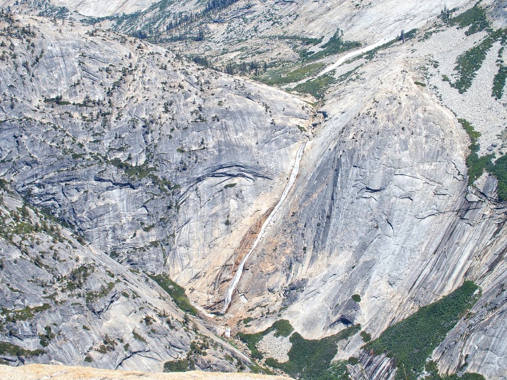
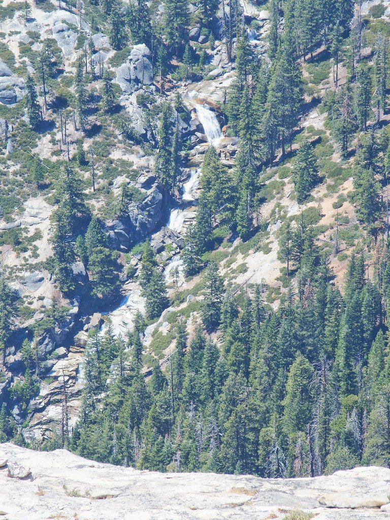
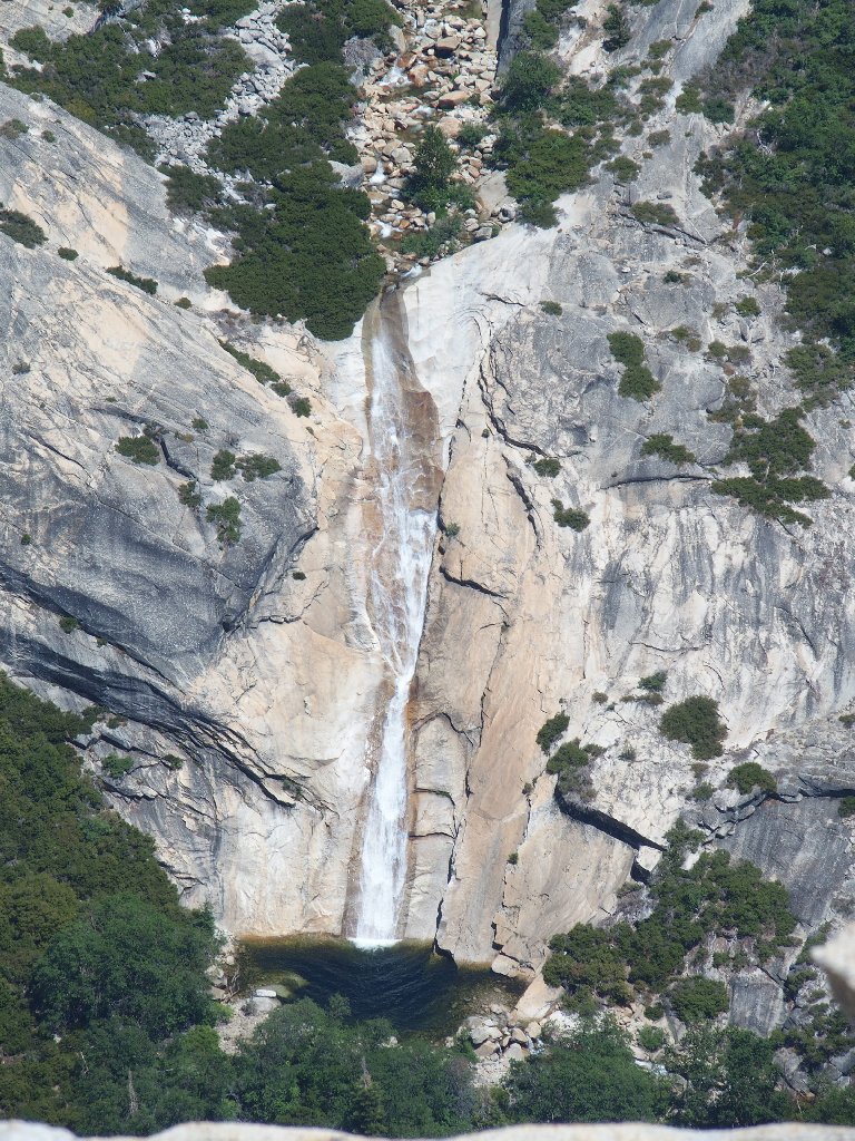
The elusive 800-foot Pywiack Cascade. Oh, my!
Most park visitors are unaware that this incredible spectacle even exists. It actually is viewable from Glacier Point, but only as a tiny white slash.
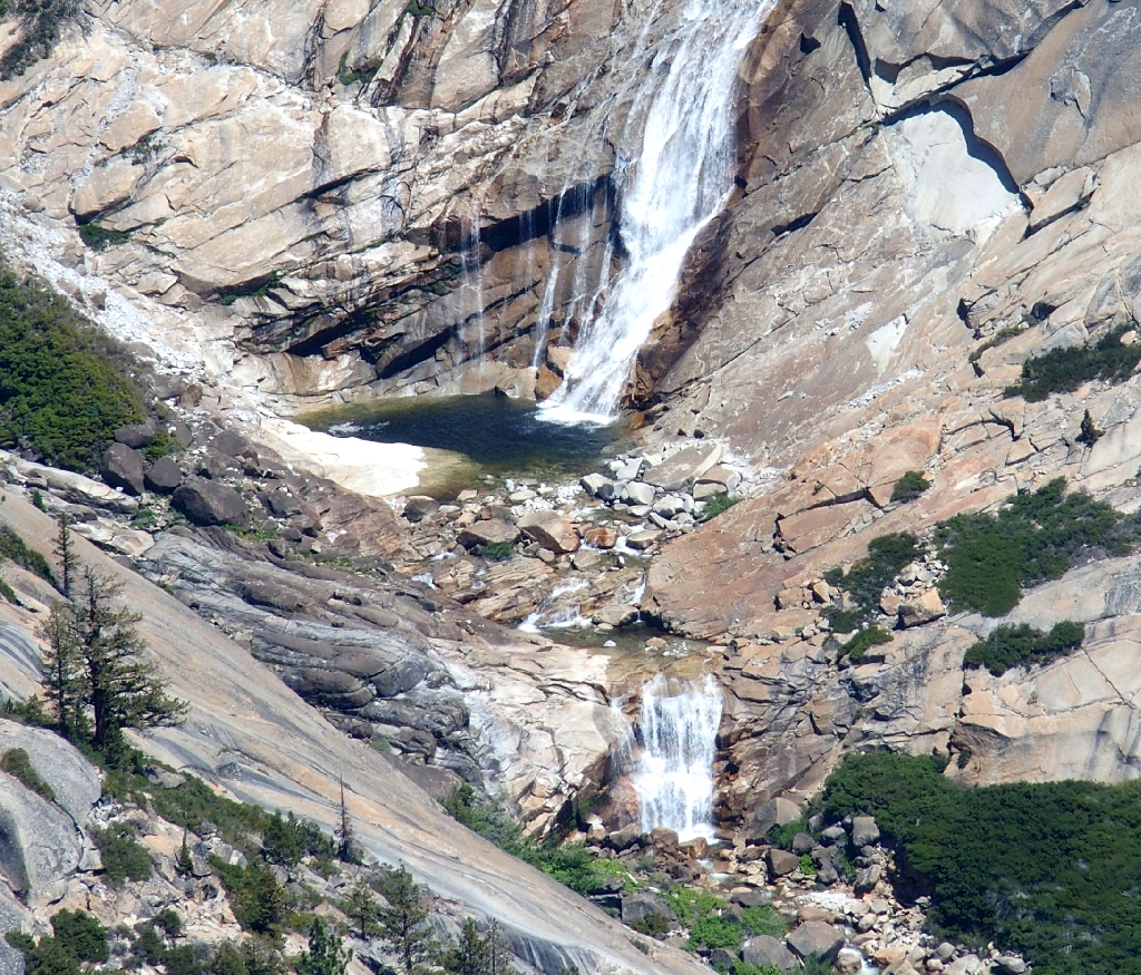
Close-up of the spectacular Pywiack Pool
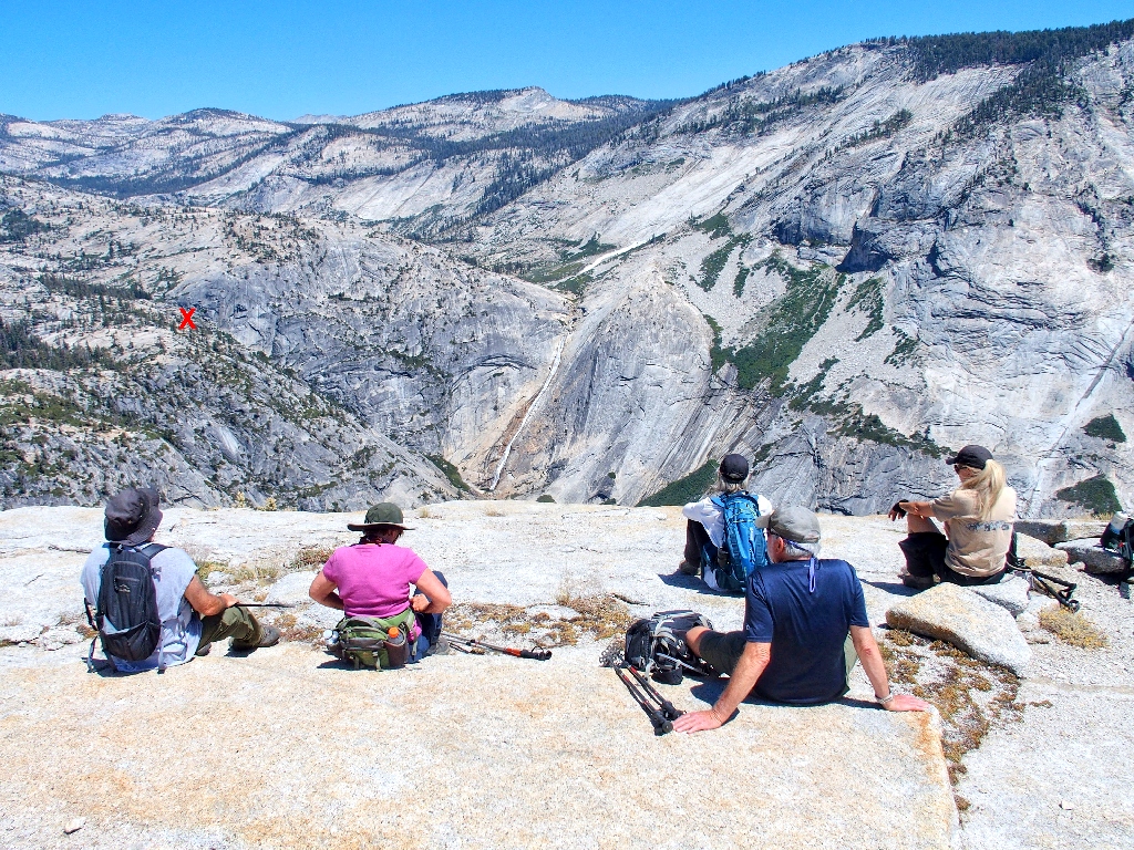
Contrary to what is proclaimed on another prominent waterfall-oriented website, this is not the best viewpoint of the falls. That honor goes to the high point indicated by the red "X" in the following photograph, which is only ⅓ as far away from the cascade. Check it out on Hike #121.
Now I must leave the group for a moment in order to investigate something that I spotted recently on Google Earth. At the far end of this dome rock, I am safely able to crawl just close enough to the dropoff to grab a photograph of a previously unseen feature.
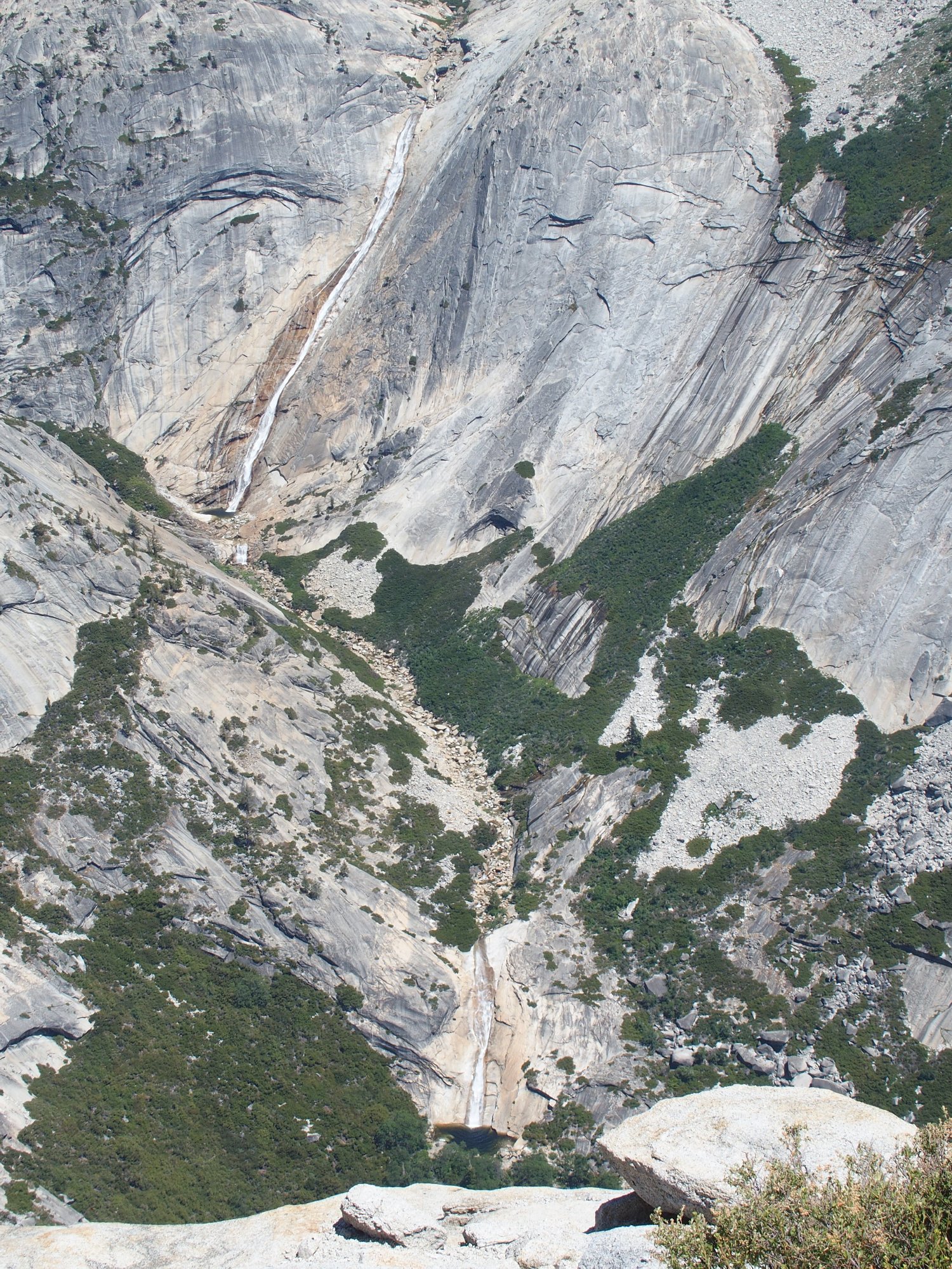
There is a Lower Pywiack Cascade and Pool! It is about 150 feet high.
And I am confident that you saw it here first. "Py-we-ack" in the native language means "glistening rocks", named after the abundance of glacial polish in the basin.
This is why I go hiking
Hiking in Tenaya Canyon is officially discouraged, partly because there is no way to negotiate it without climbing equipment, and partly because Chief Tenaya cursed the place after his son was shot and killed there. The canyon is known by some as the Bermuda Triangle of Yosemite because 17 hikers have died trying their luck down there, and many others have been injured. On the other hand, John Muir did it without so much as a rope to assist him, even after having been knocked unconscious for a time due to a fall.
Clouds Rest is just a mile and a half across the canyon now
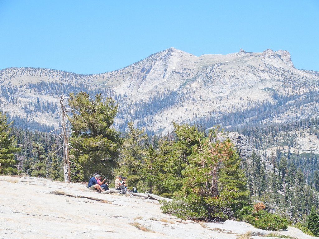
To the north is Mount Hoffman, the geographical center of the park
Okay! Promising my wards that the hard work is done, we stroll off the dome back toward our previous route. In fact, it is a relatively easy downhill returning to familiar ground.
Regaining a real trail
400 feet of climbing remains
This final ascent proves more tiring than was expected. Perhaps we have been worn down by all the excitement, or perhaps Ted's Shortcut had something to do with it.
In the 'bowl' to the right of Tenaya Peak lies Mildred Lake
Mildred is another of those most beautiful attractions in Yosemite that is fairly
easily accessible, yet never will be enjoyed by most visitors — including
hikers — because it is not in view from any established trail.
I expect to visit it again myself.
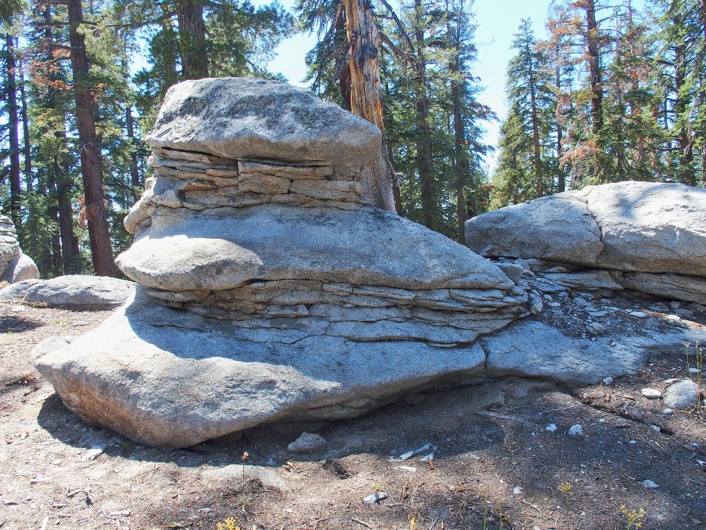
Flying Saucer Rock
Negotiating the final unmarked junction
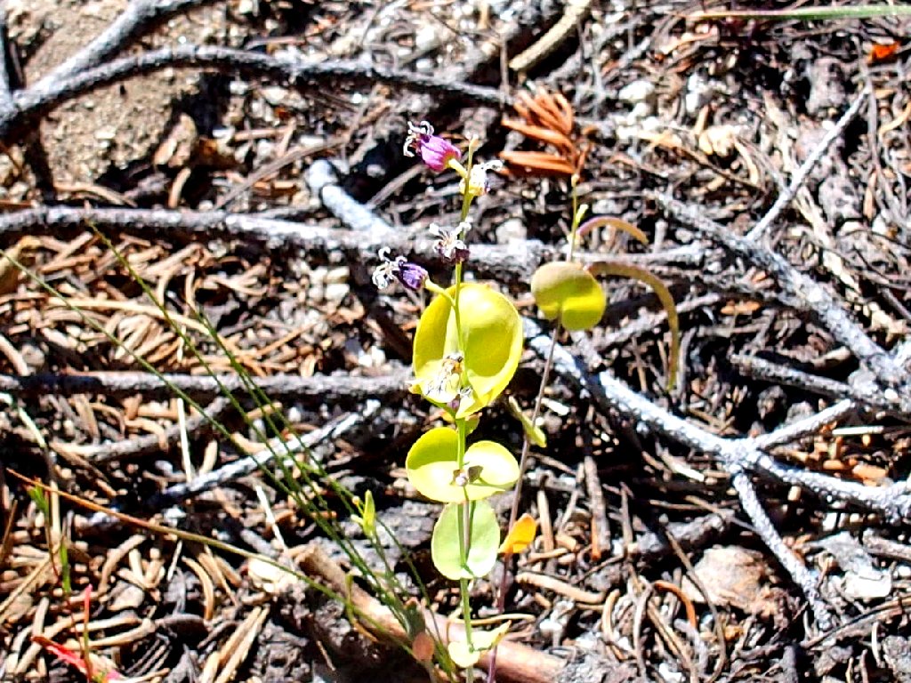
Mountain Jewel Flower
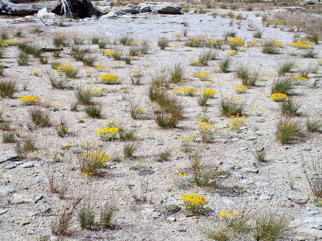
Sulfur Flower Buckwheat
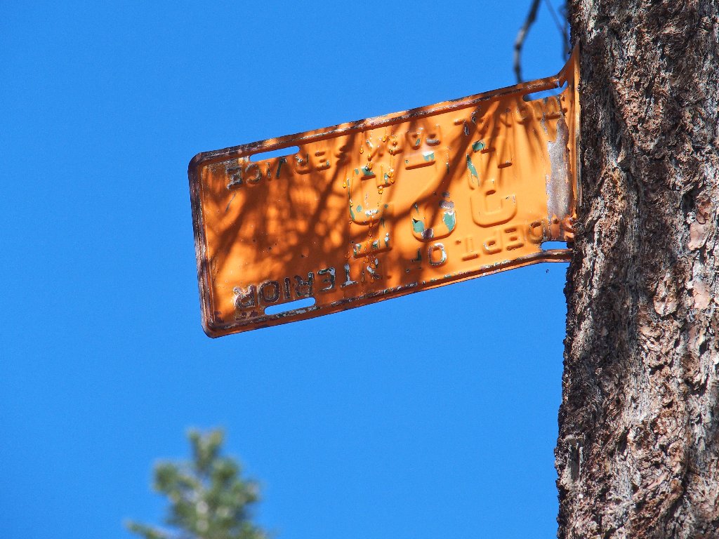
It reads, "Dept. of Interior, National Park Service, #325"; but why is it
upside-down?
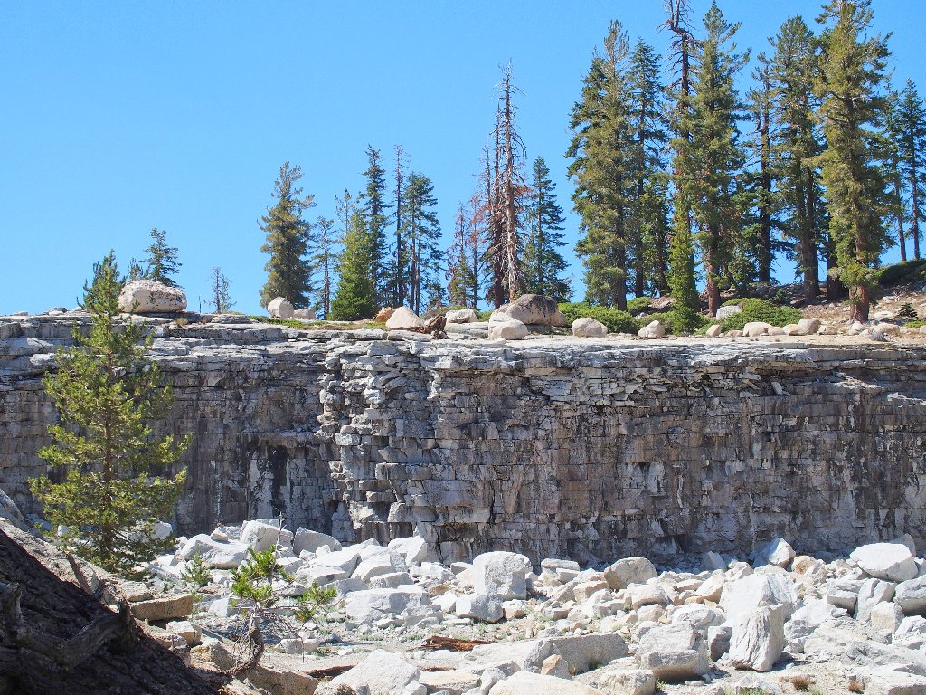
Good lighting on the quarry at the finish
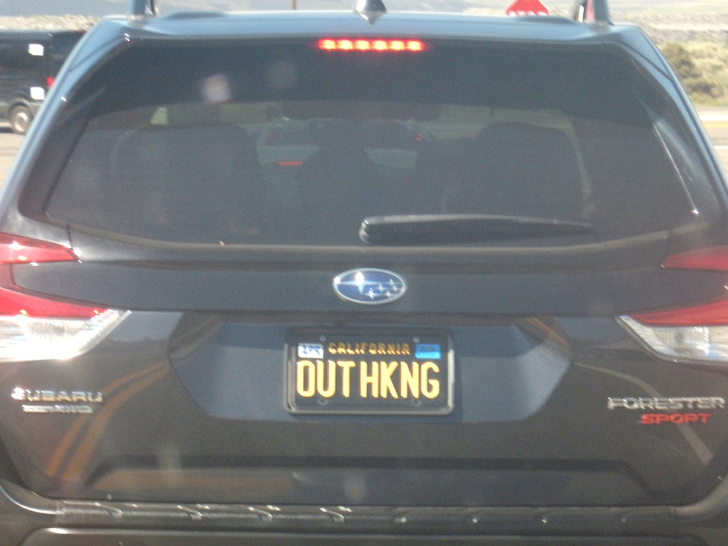
Spotted on the way out of the park
§: Mission accomplished! Nobody missed anything, nobody encountered
a rattlesnake, and nobody fell into Tenaya Canyon. My first-ever view of
Lower Pywiack Falls was a highlight of the excursion.
As can be seen from the map, getting over to the Pywiack overlook could have been done more easily at the cost of some extra distance; but when I next visit the place, I probably will go the same way, because Ted's Shortcut is far more interesting!
| Scenery |  |
| Difficulty |  |
| Personality |  |
| Adventure |  |
| Flowers |  |