Tahoe National Forest
|
Fall Creek Mountain Tahoe National Forest |
July 4, 2023
Just two days ago, I was just a couple miles south of here at Grouse Ridge, where snow and a downed tree blocked the access road. Today, the route to the trailhead is free of encumbrances.
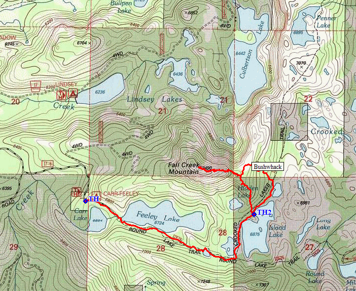
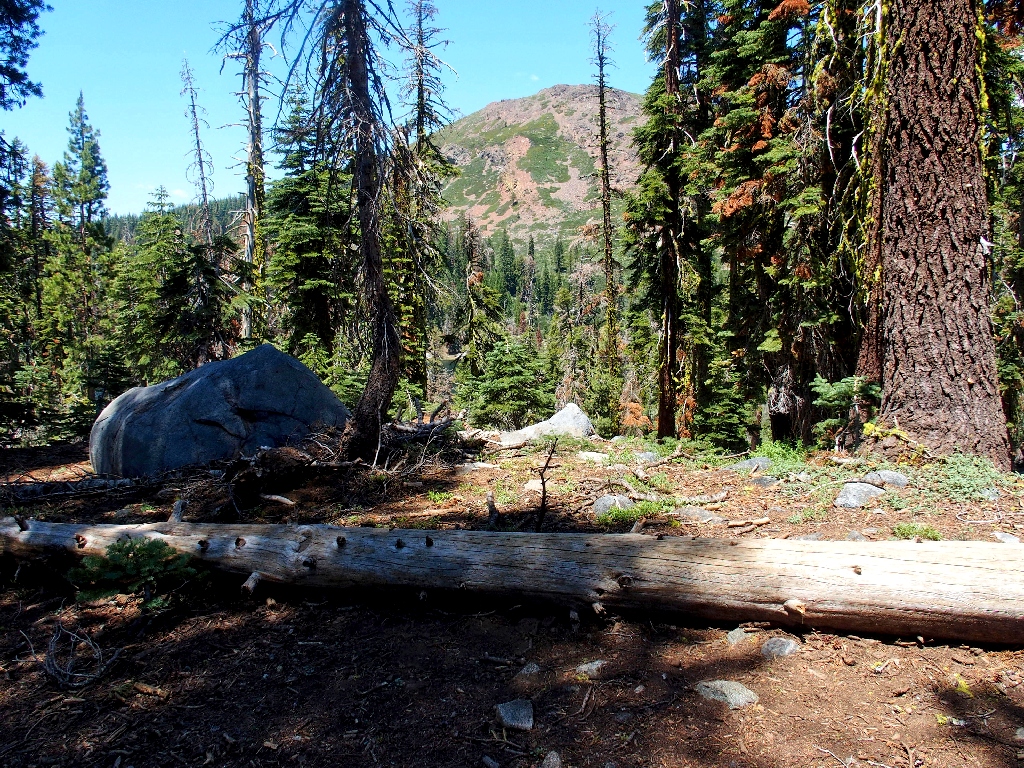
No one is using that nice walk-in campground
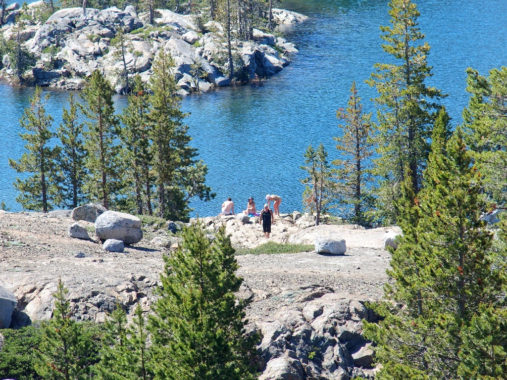
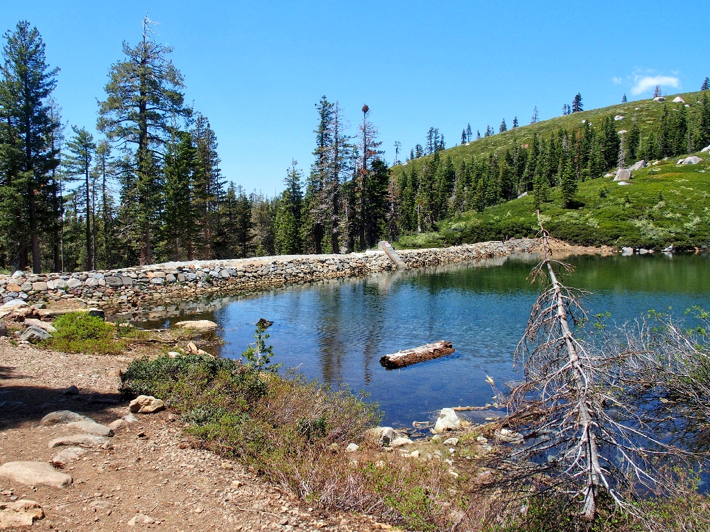
As I approach Feely Lake, I can see fishers seated on the dam above me in their lawn chairs.
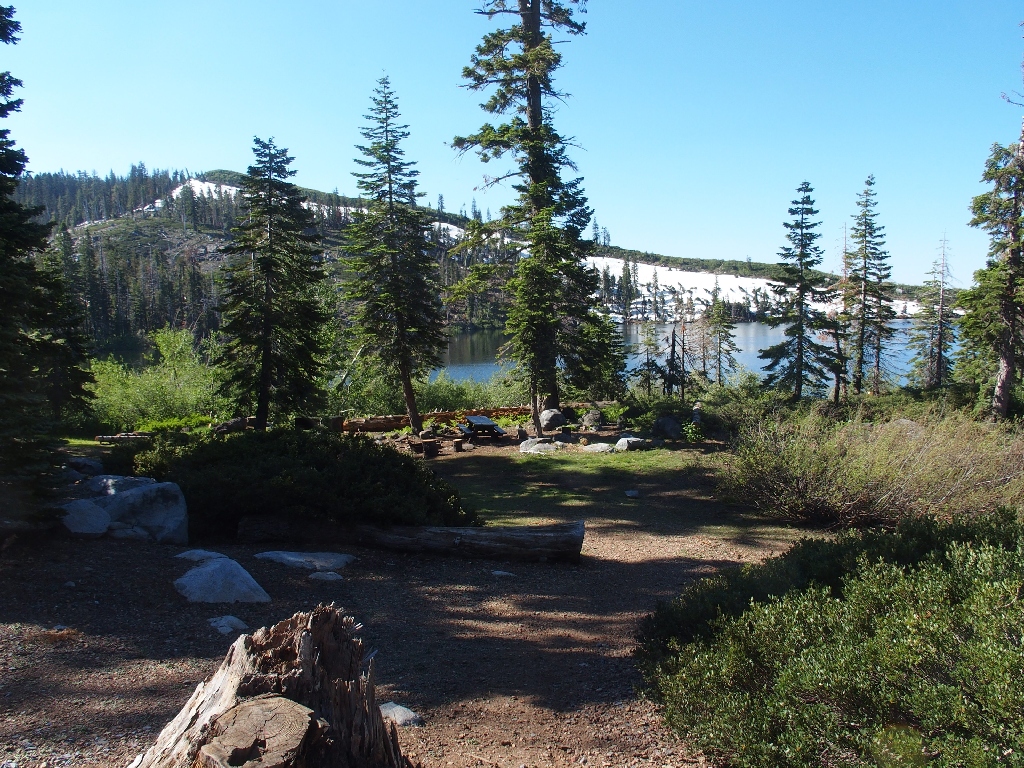
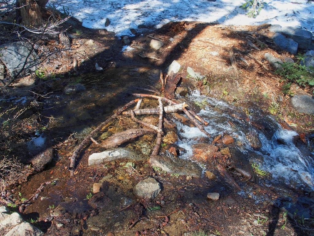
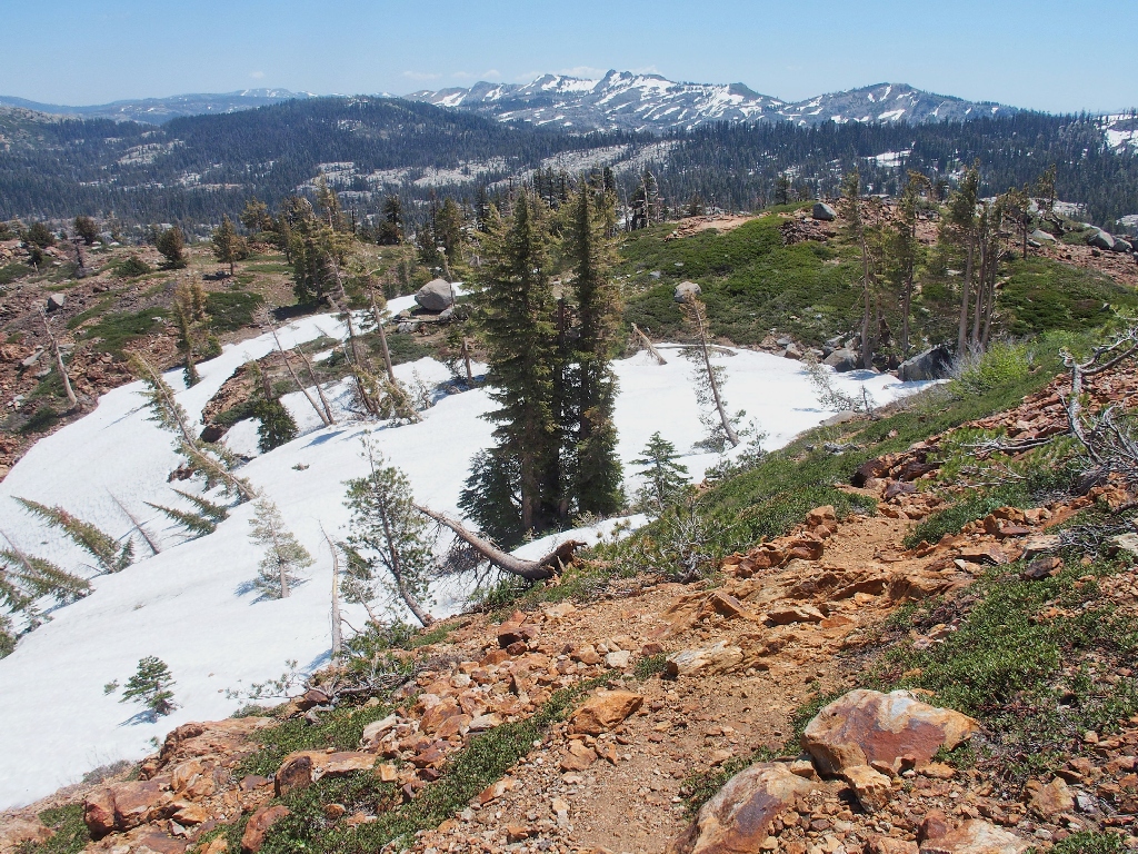
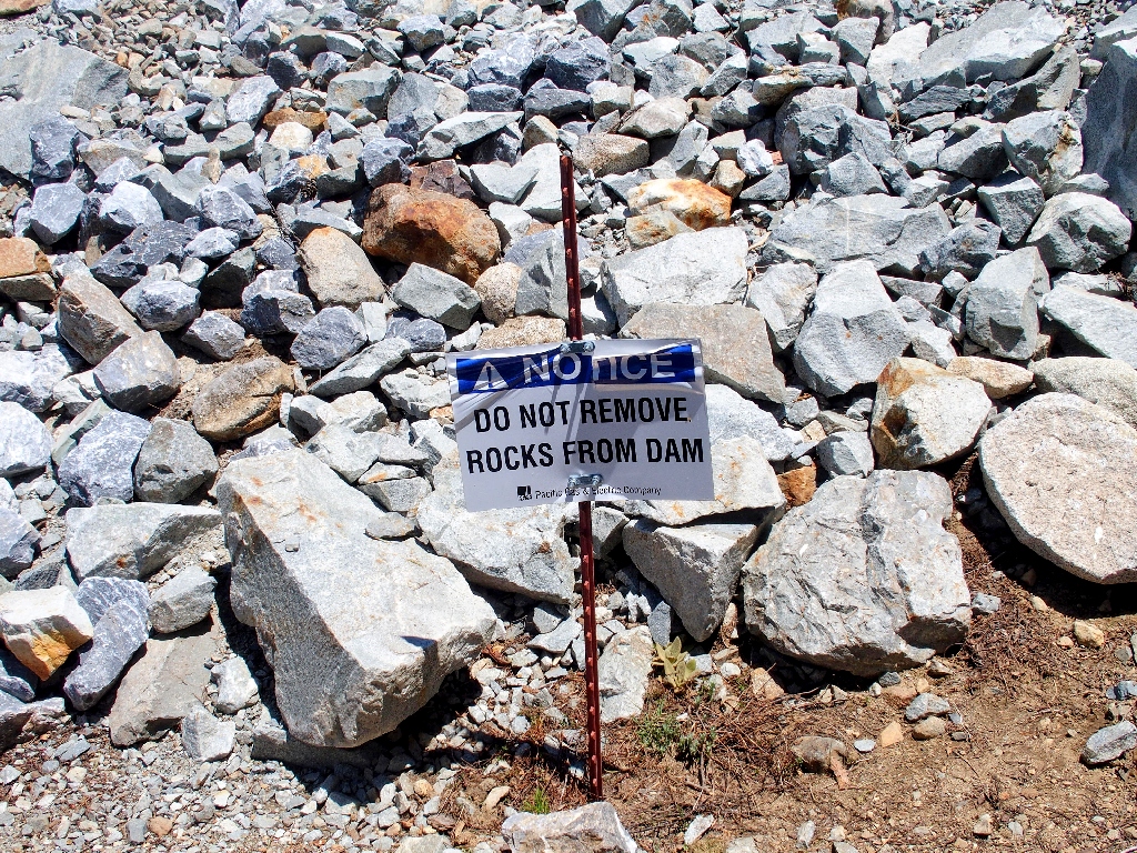
The only way to avoid wet feet today
My 81st New Years Resolution was to knock off at least twenty items from my hiking bucket list this year. Although I have walked this trail up to Penner Lake many times, I never have climbed the nearby mountain that even features a social trail, according to the map.
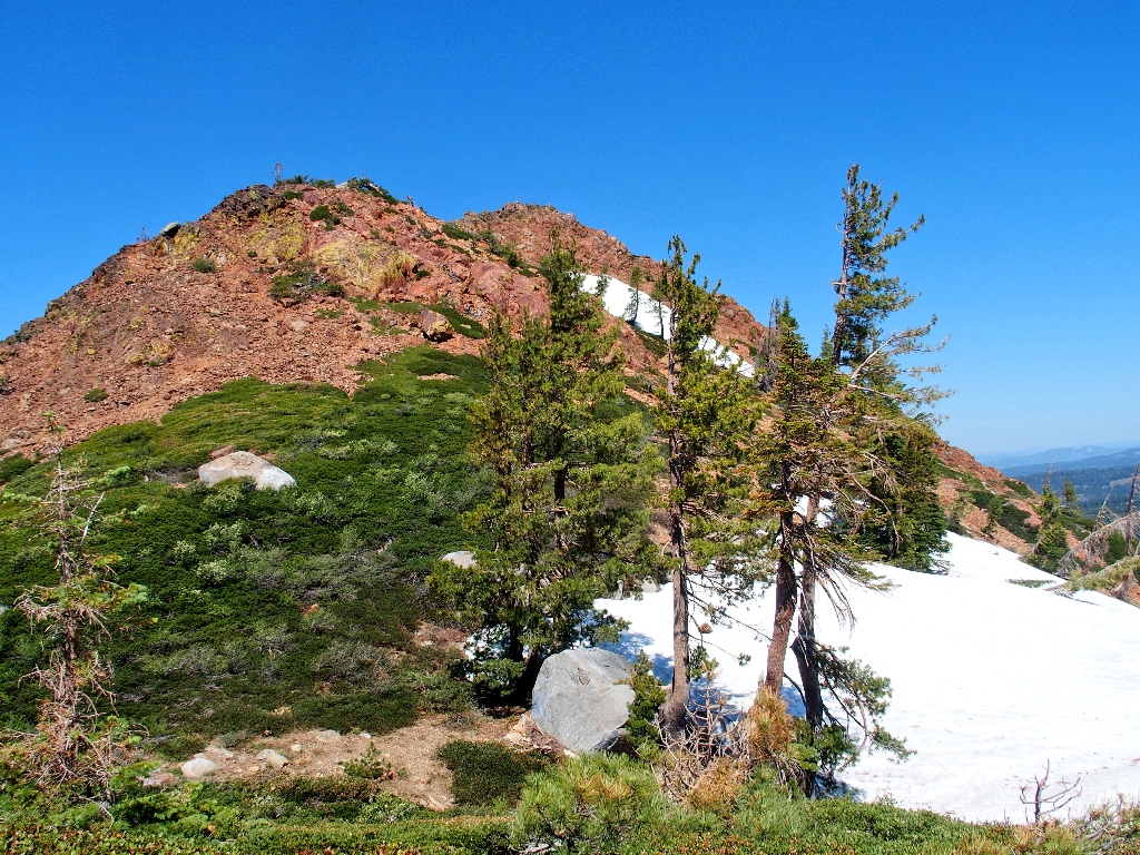
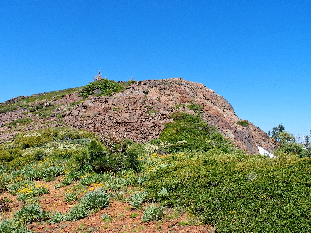
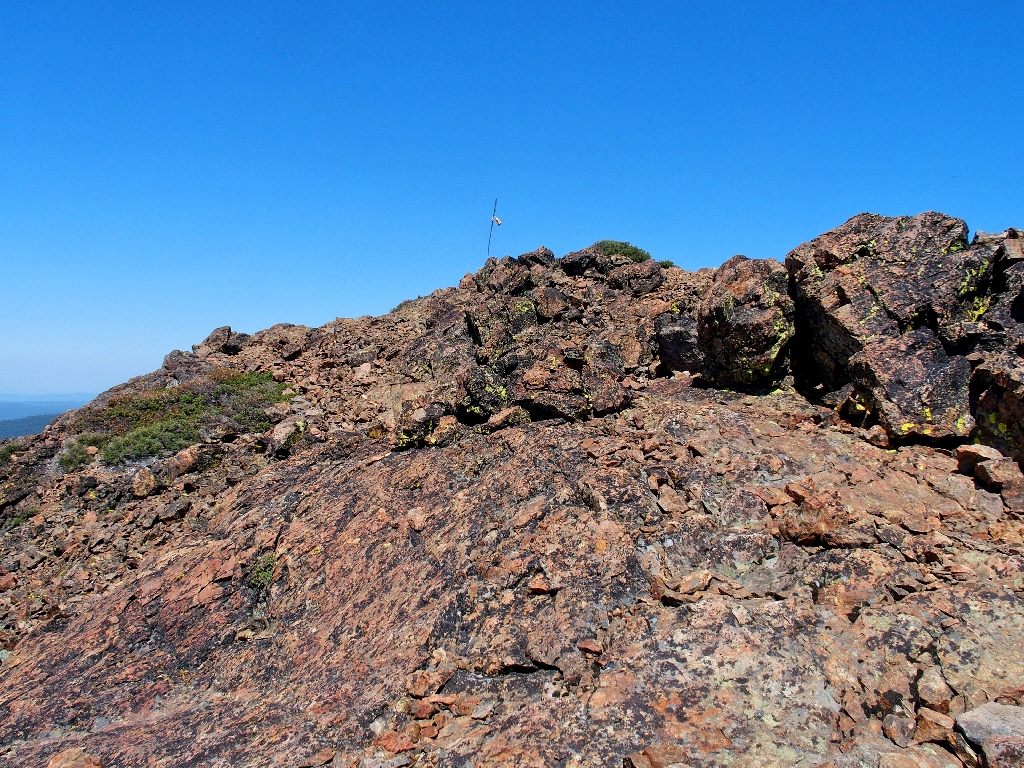
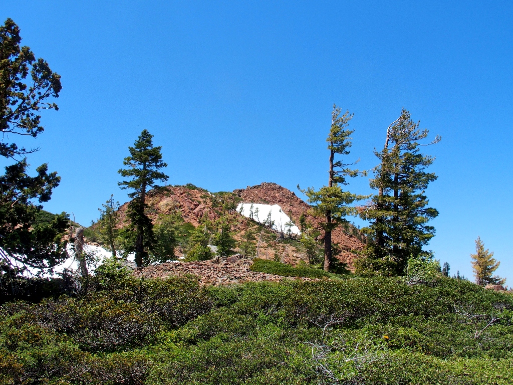
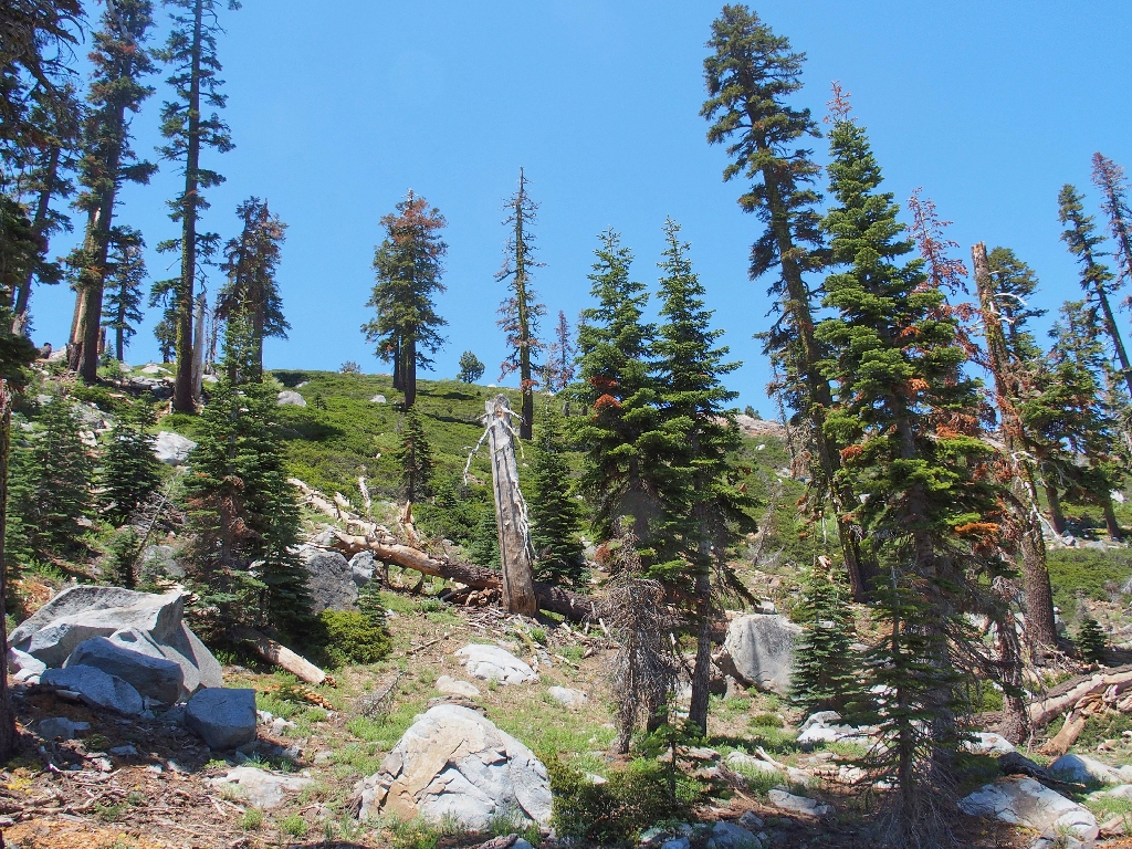
There's the destination
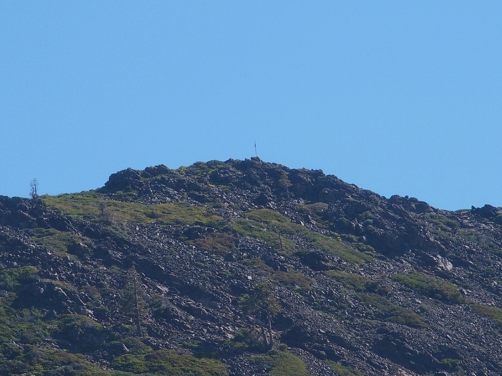
It even has a flagpole
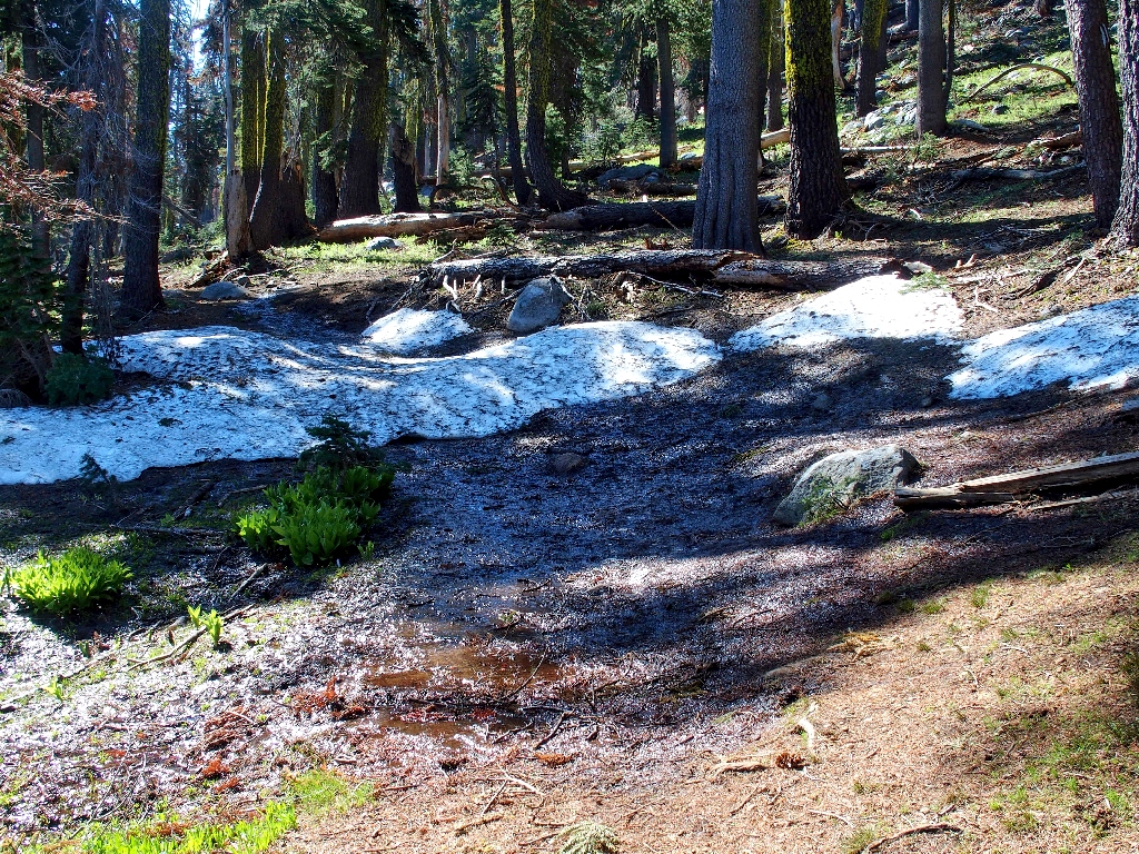
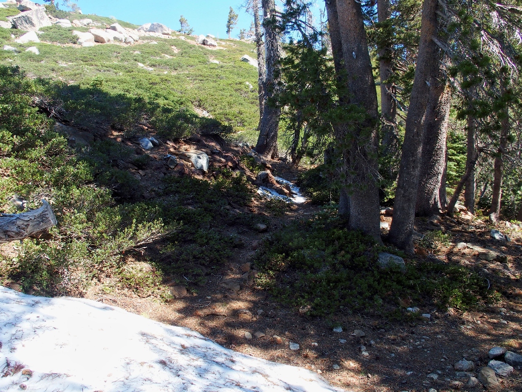
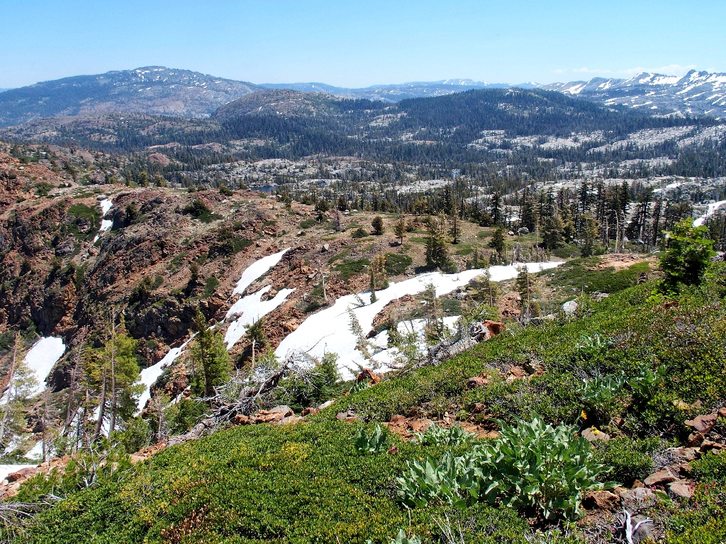
Many snowdrifts enhance the trail
An unnamed pond
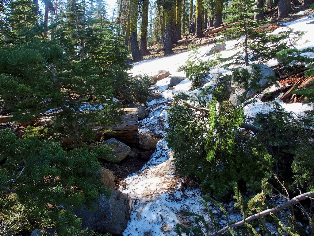
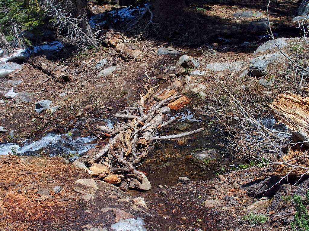
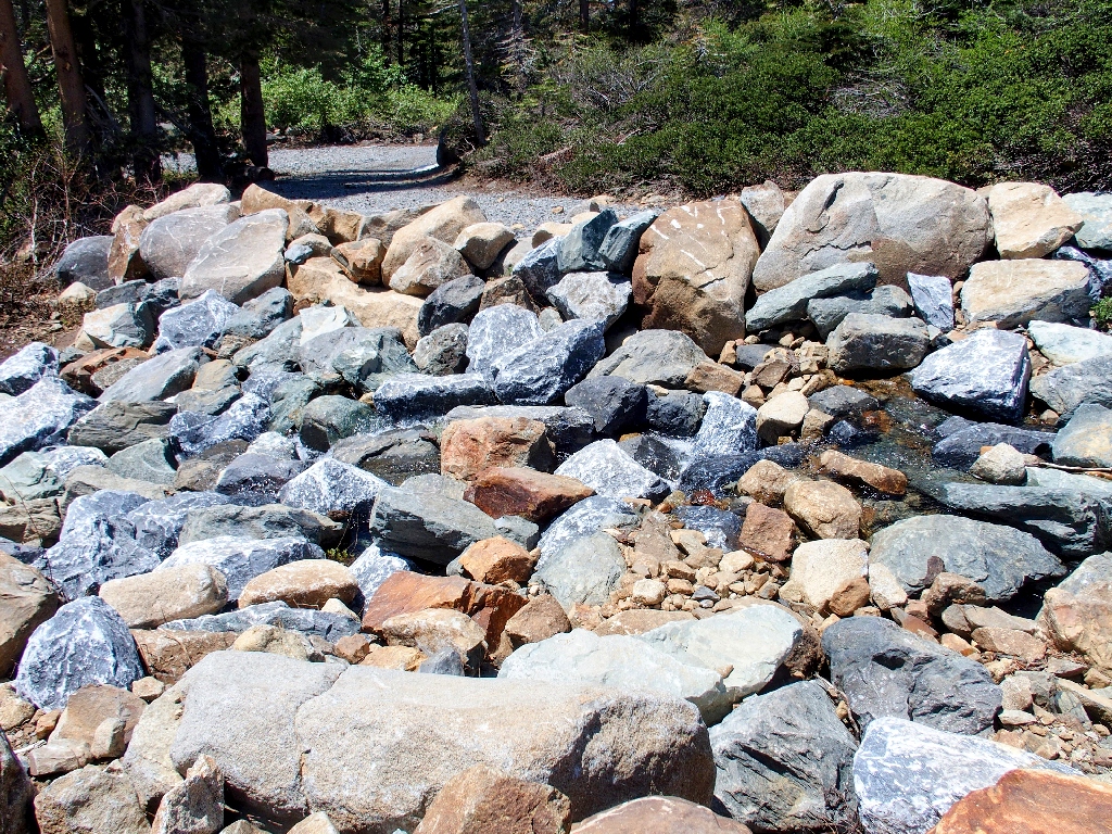
This crossing is tricky, but doable
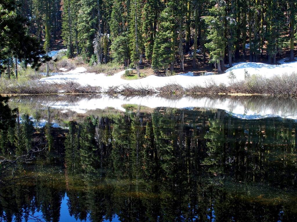
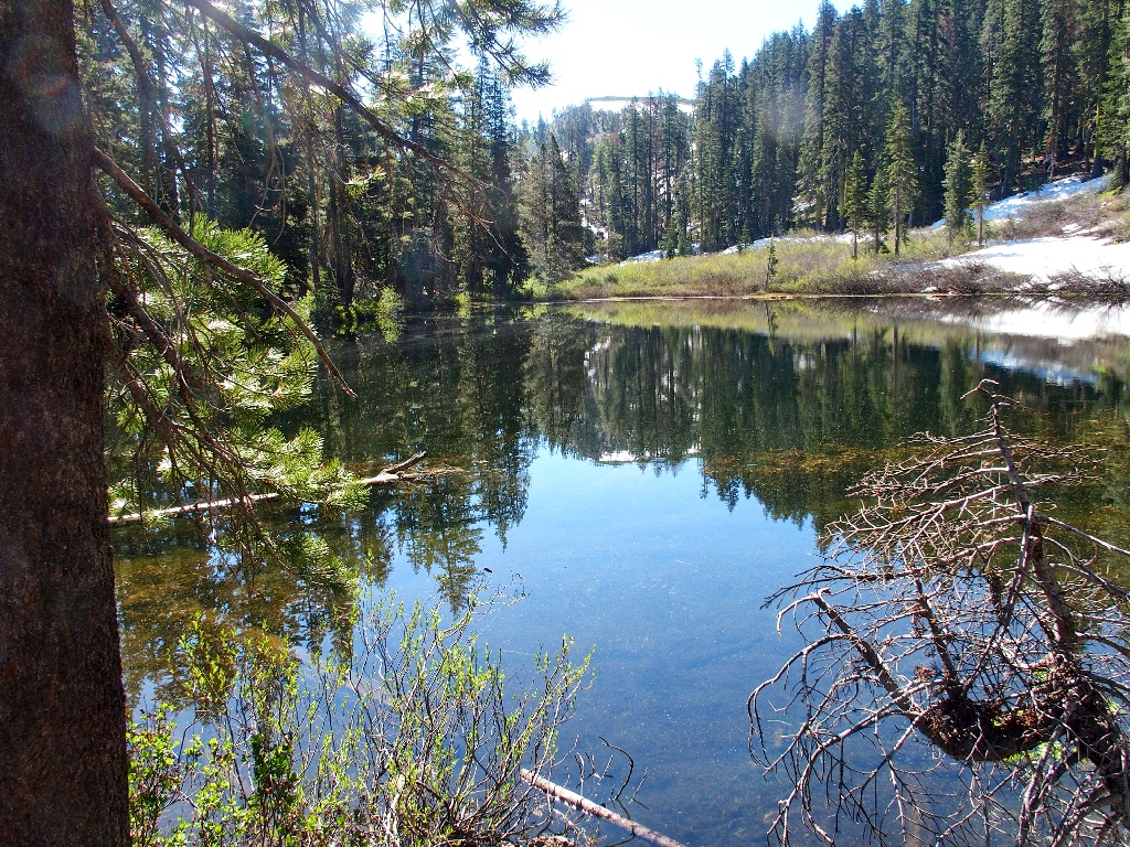
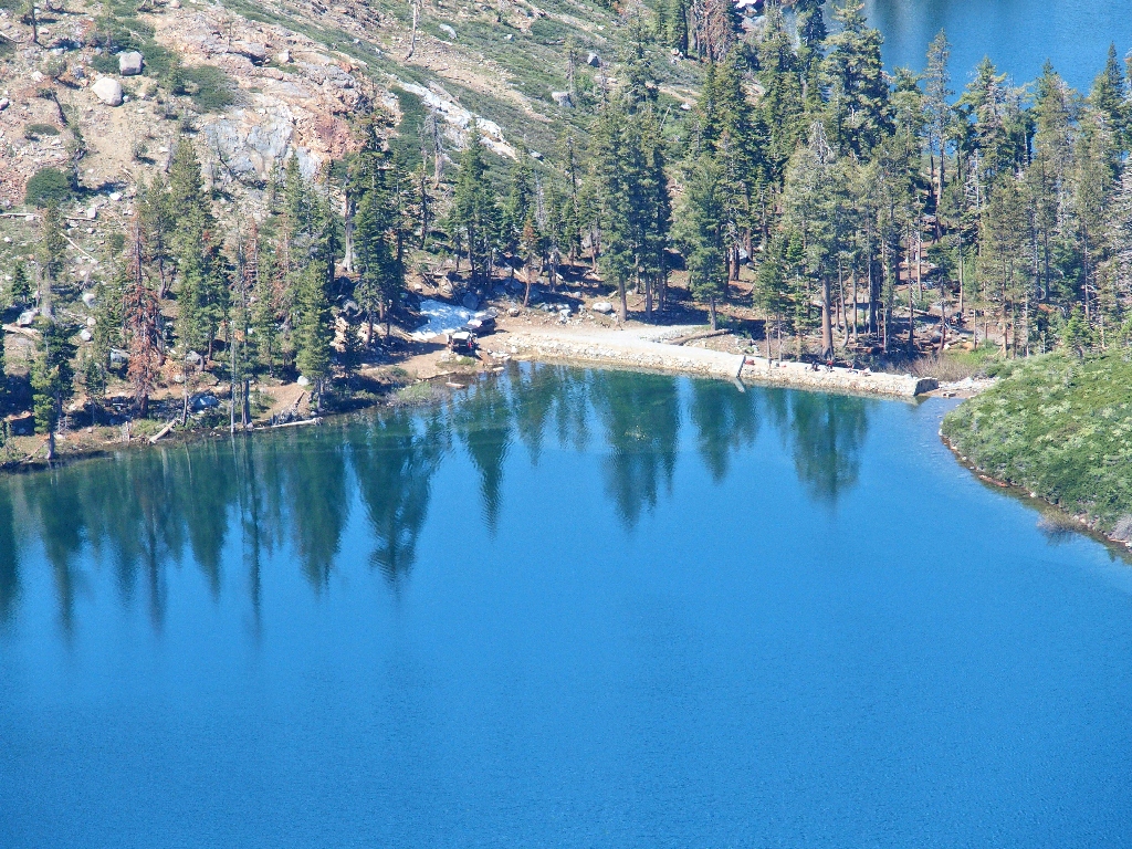
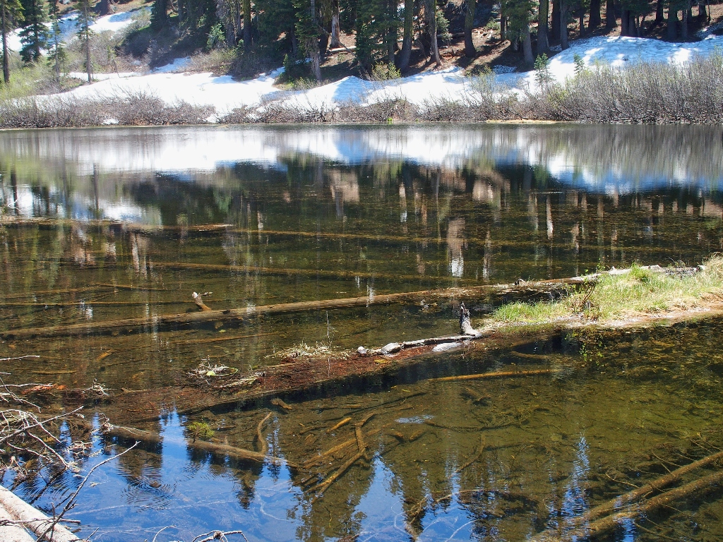
Nice reflections
At the next pond, a 90-degree turn sends me north on the Crooked Lakes Trail
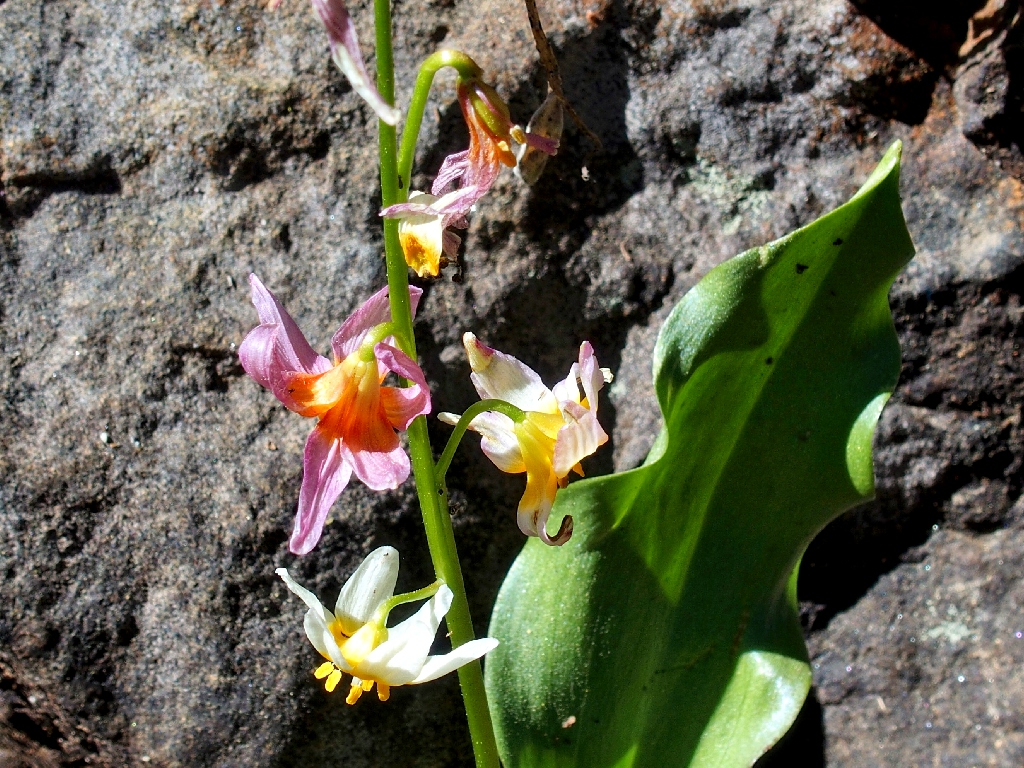
Fawn Lily
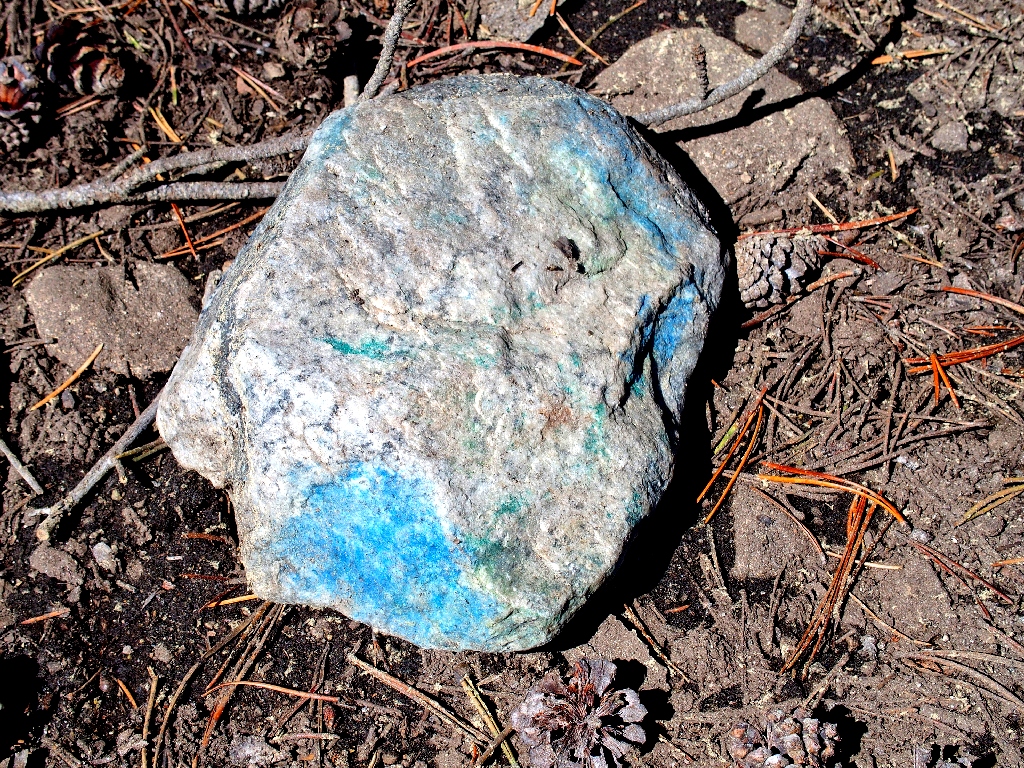
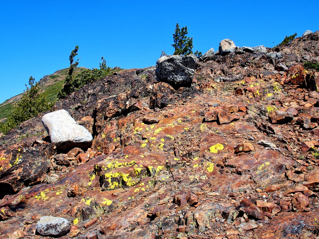
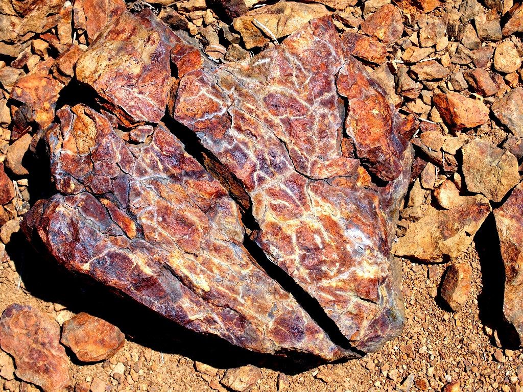
What kind of rock is that?
About four-tenths of a mile up the way, my GPS says to find the alleged use-trail cutoff.
This looks like it
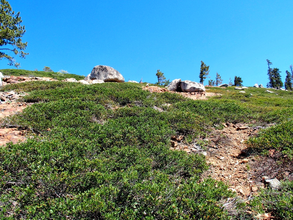
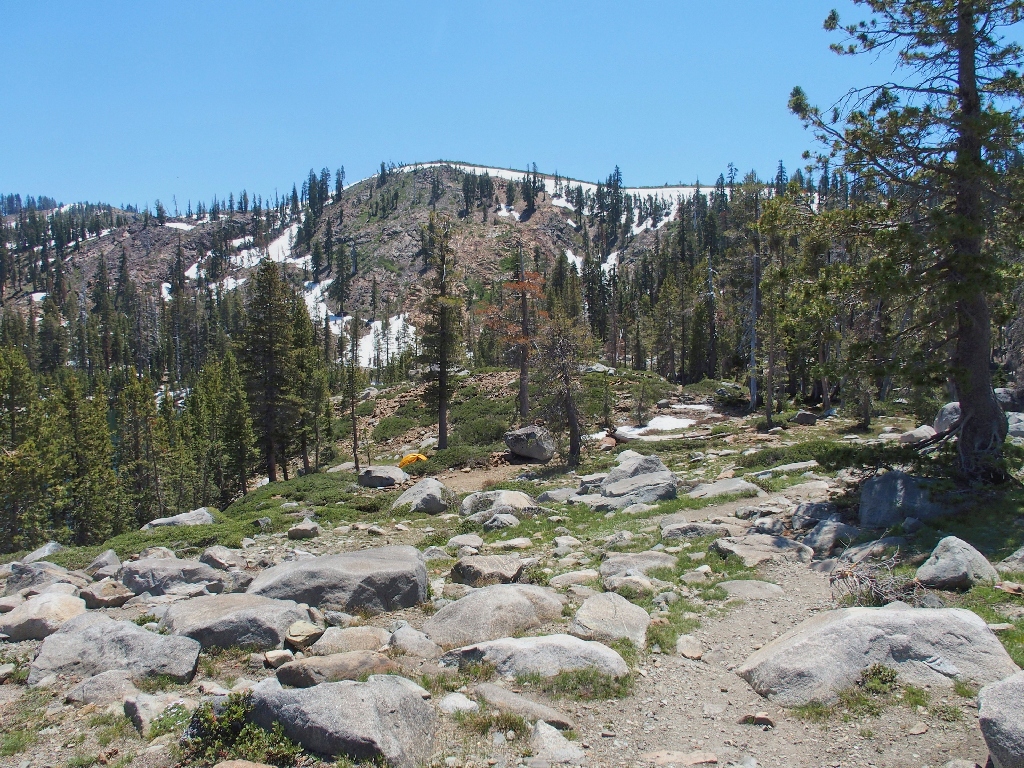
This slope is gentle enough, through the not-unfriendly scree
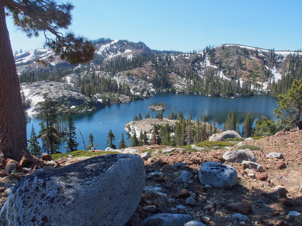
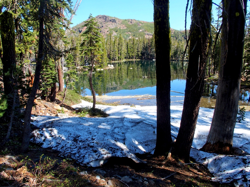
Island Lake below
Rhizocarpaceae fungi
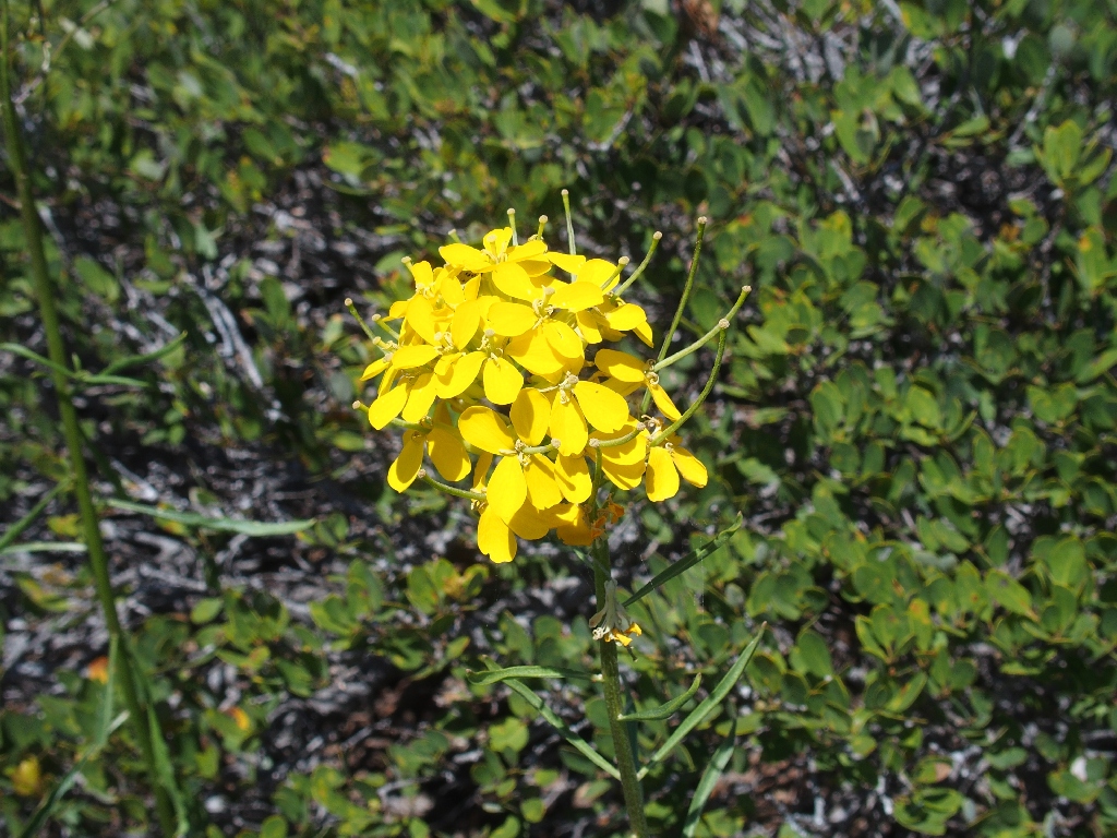
Western Wallflower
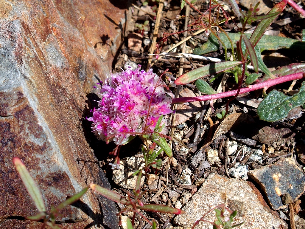
Oneseed Pussypaws
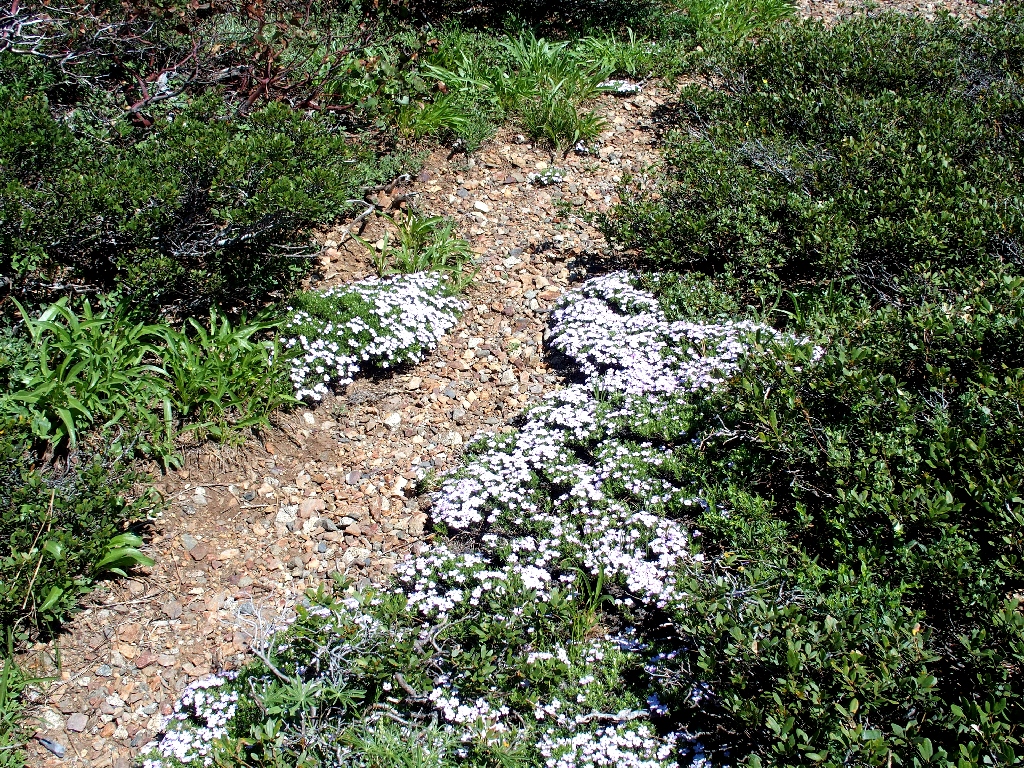
The Spreading Phlox have spread everywhere, as is their wont
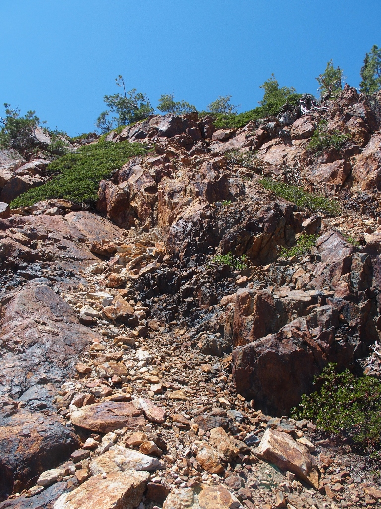
Up ahead is an obstacle about which I have a bad feeling. I don't see any signs of a path around one side or the other, which suggests that I'll have to go straight up instead; and that doesn't look like fun. I didn't come here to let a minor challenge dissuade me, though.
The route is what it is
Another nifty rock
After crossing a portion of the big snowbank, the route does indeed become treacherous. In a couple of places, I am compelled to pull myself up a steep slope with little footing and little to hold onto except for manzanita branches; and water is running down the trail as well! I really am not looking forward to revisiting this section later.
Having dispatched that obstacle, however, all is well again; for the GPS says that the summit is a mere 500 feet away! This is good.
It is right up there somewhere
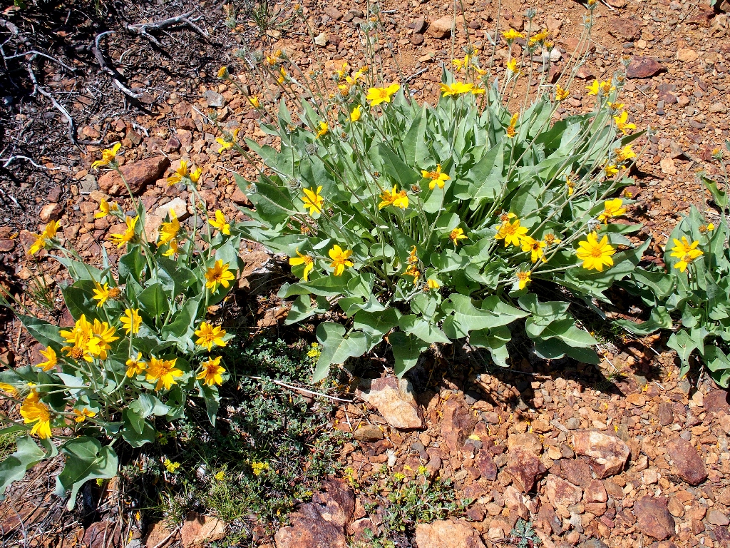
Arrowleaf Balsamroot
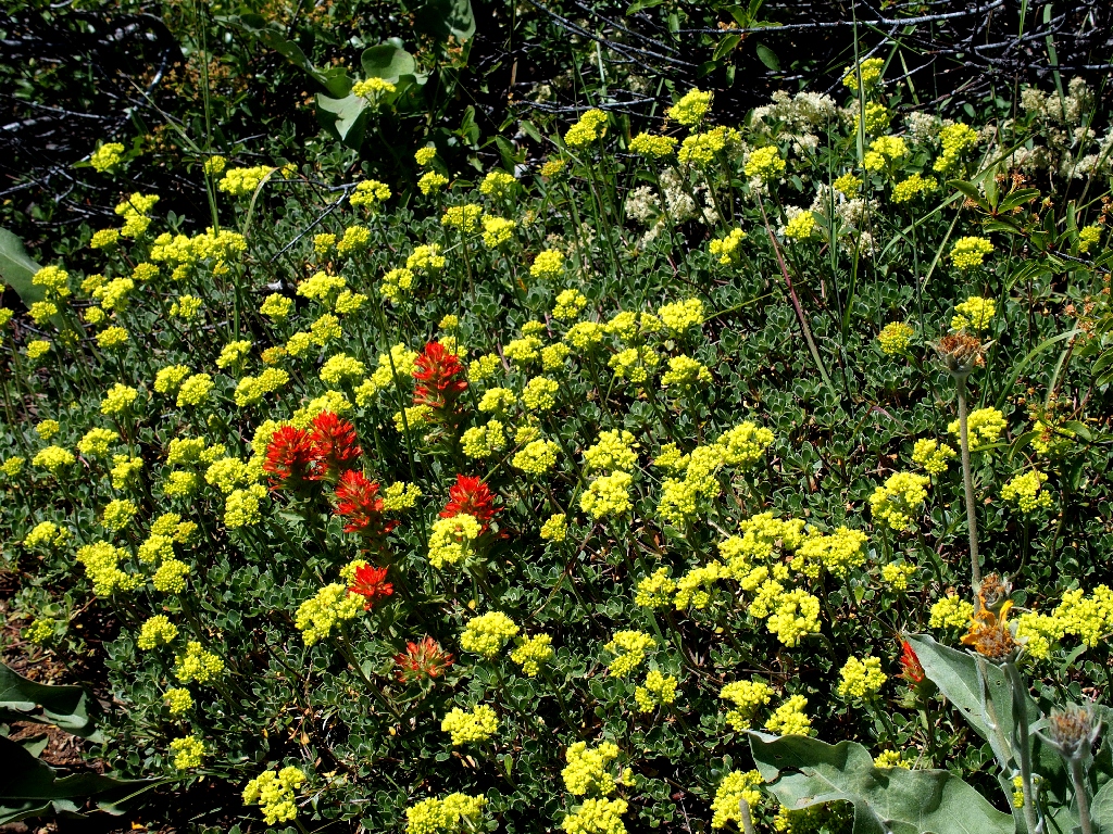
Sulfur Buckwheat and Giant Red Indian Paintbrush
There it is!
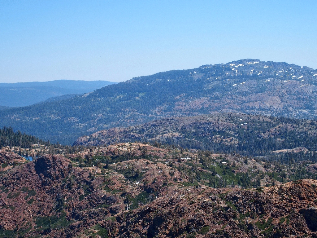
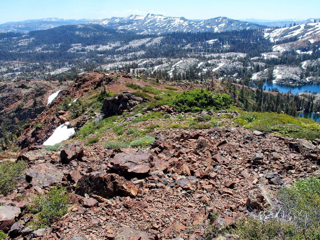
The views are predictably outstanding in every direction.
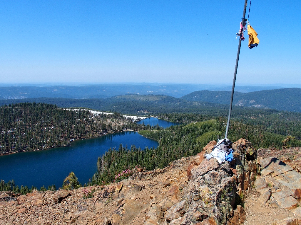
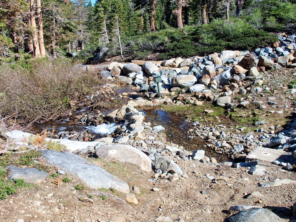
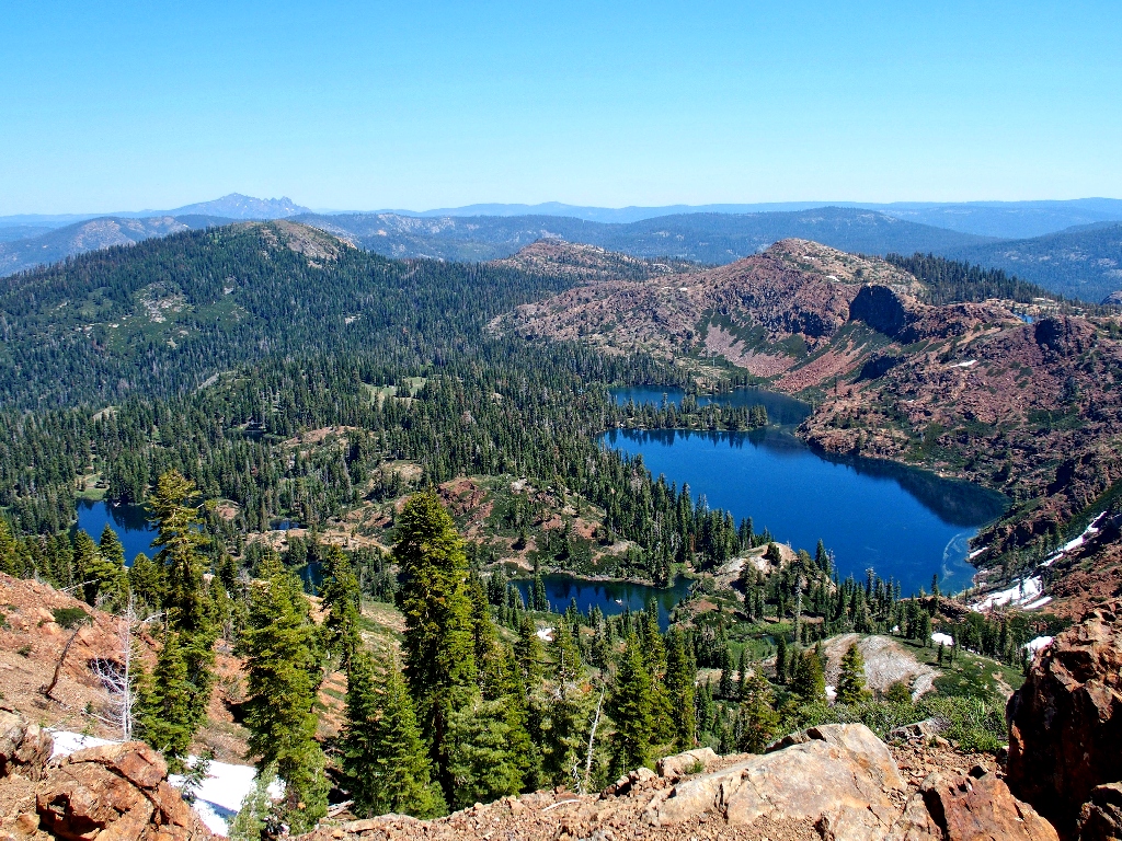
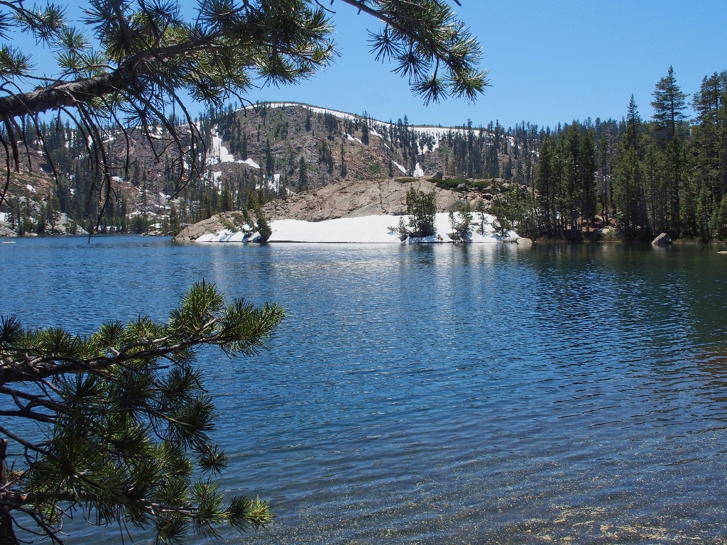
Feely Lake and Carr Lake
Oddly enough, I am just .85 miles from my car at the far end of those lakes.
The fishers are still hanging out on the dam
And yes, I reiterate that it always will be correctly spelled as Feely on my pages.
(For more info, consult
Hike #8).
Culbertson Lake on the right, two of the Lindsey Lakes below, Sierra Buttes
in the background
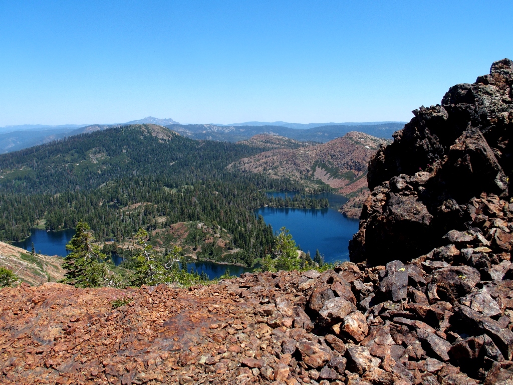
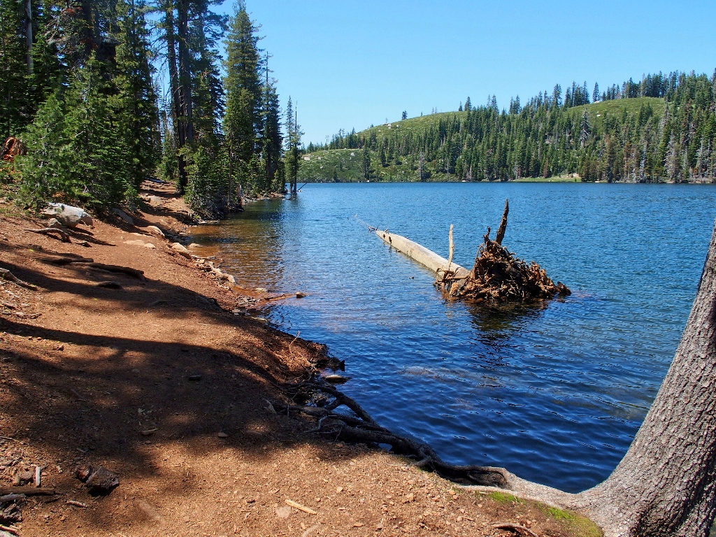
A glimpse of Penner Lake, the jewel of the area for my money
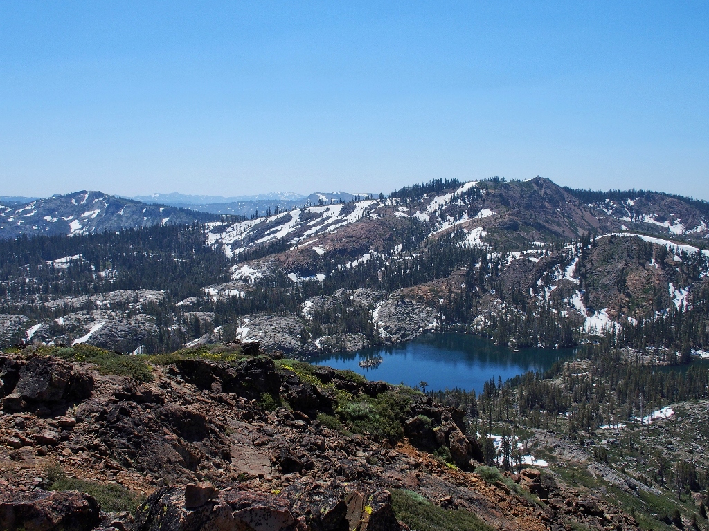
The Grouse Ridge Fire Lookout overlooks Island Lake
English Mountain in the east
I accompanied my son-in-law over there a few years back. He made it up, but I was off my feed and did not.
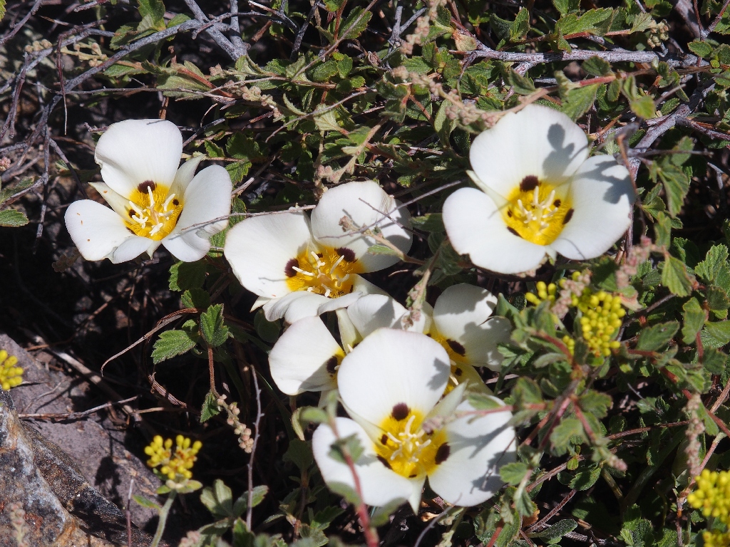
Leichtlin's Mariposa Lily
Prostrate Knotweed

This is why I go hiking
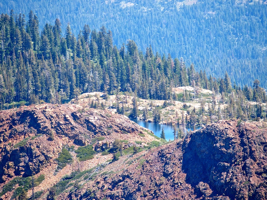
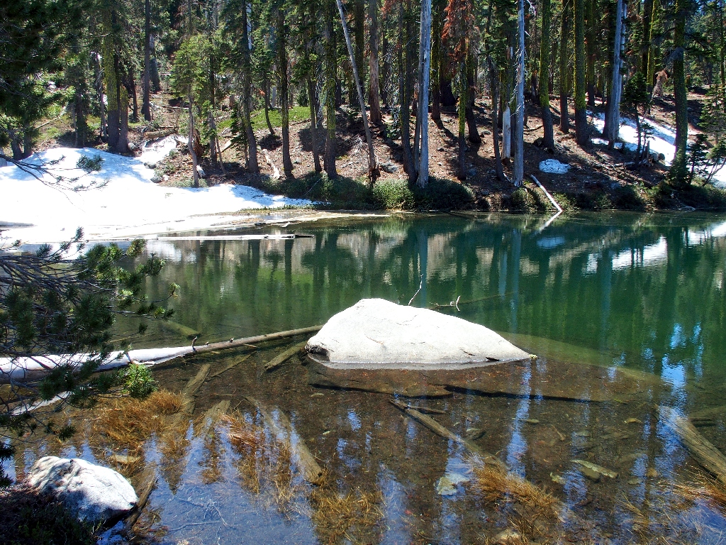
The pond directly below still is in winter-mode:
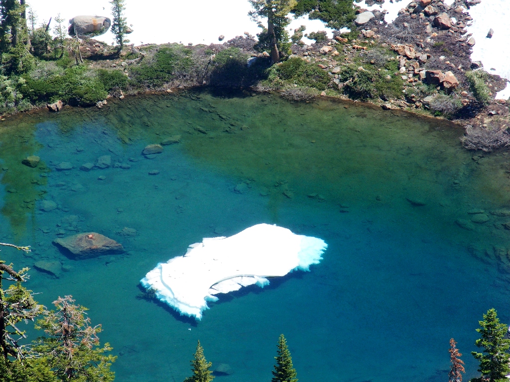
Today I'll call it Iceberg Lake
Despite being pretty warm, it is quite pleasant here on the summit, with no breeze at
all. I even put on my long-sleeved shirt as a temporary
sunscreen-substitute. My usual snack of nuts and a cutie helps to distract
me from the moderate anxiety of the return leg.
I am able to phone home to my sweetie, who invariably answers such a call with, "Are you on a mountain top?" This time, I am able to respond with an emphatic, "Yes, I am!" Then I admonish My Barbara to call the rangers if I haven't checked in again within a few hours.
Starting down
Sierra Buttes are directly behind Bowman Mountain, another bucket-list item
So near, yet so far to that flat area
Nearing the spot of muddy slopes with no handholds, I opt for an alternative point of descent. It does indeed prove to be dry, and inching downward very slowy is aided by adequate handholds that render the going safe enough.
This was more difficult than in might look
Plan-B probably did not improve my lot, however; and it definitely took longer.
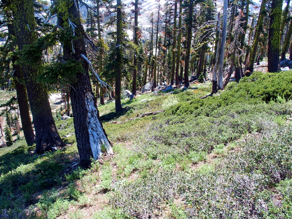
Back on the use trail
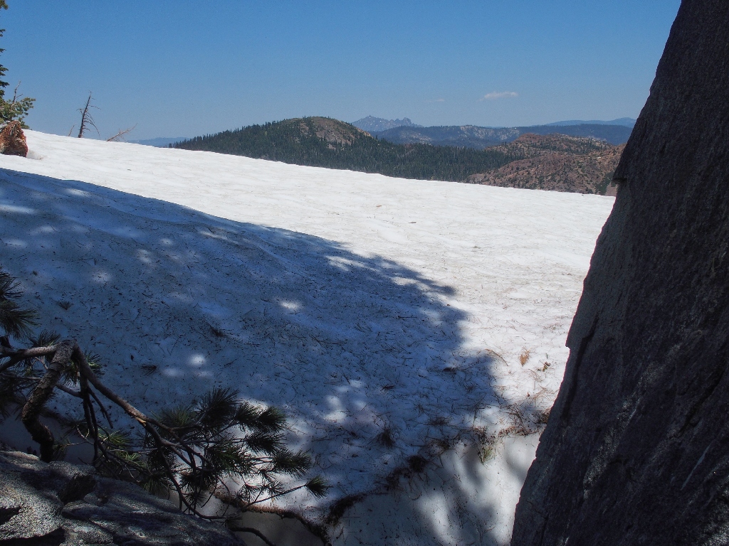
This snowdrift is the last obstacle — or is it?
One trip up there is probably enough for me
Down to the flat area now, I opt to explore northward toward Penner Lake. When that doesn't get me very far, I try a 'shortcut' down to the known trail, once again showing that I have learned nothing over the years; for I spend the better part of the next hour on a steep slope ensnared in a dreaded manzanita jungle.
Also more difficult than it might look
Eventually I am able to hook up with the main trail as planned. My troubles are over now, except that I am relatively exhausted. The remaining two miles of travel will be relatively flat, however.
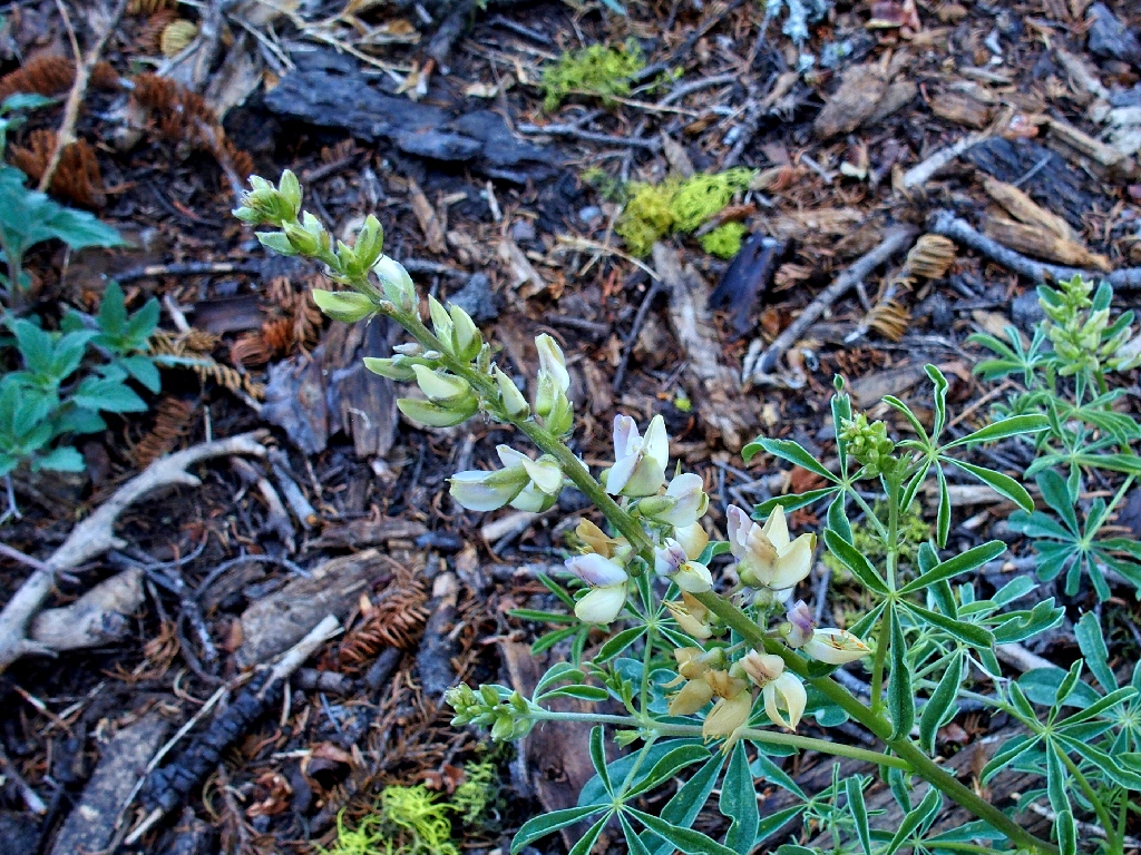
Chick Lupine
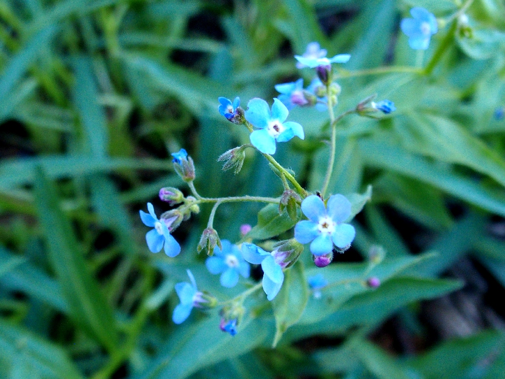
Manyflower Stickseed
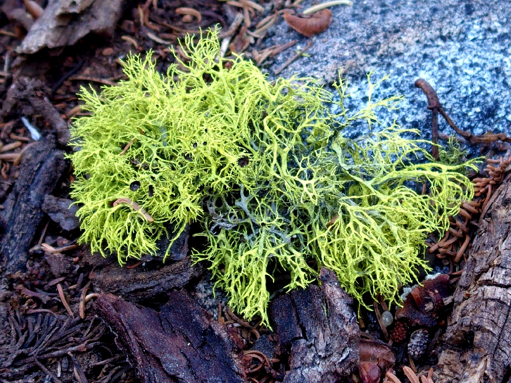
Parmeliaceae
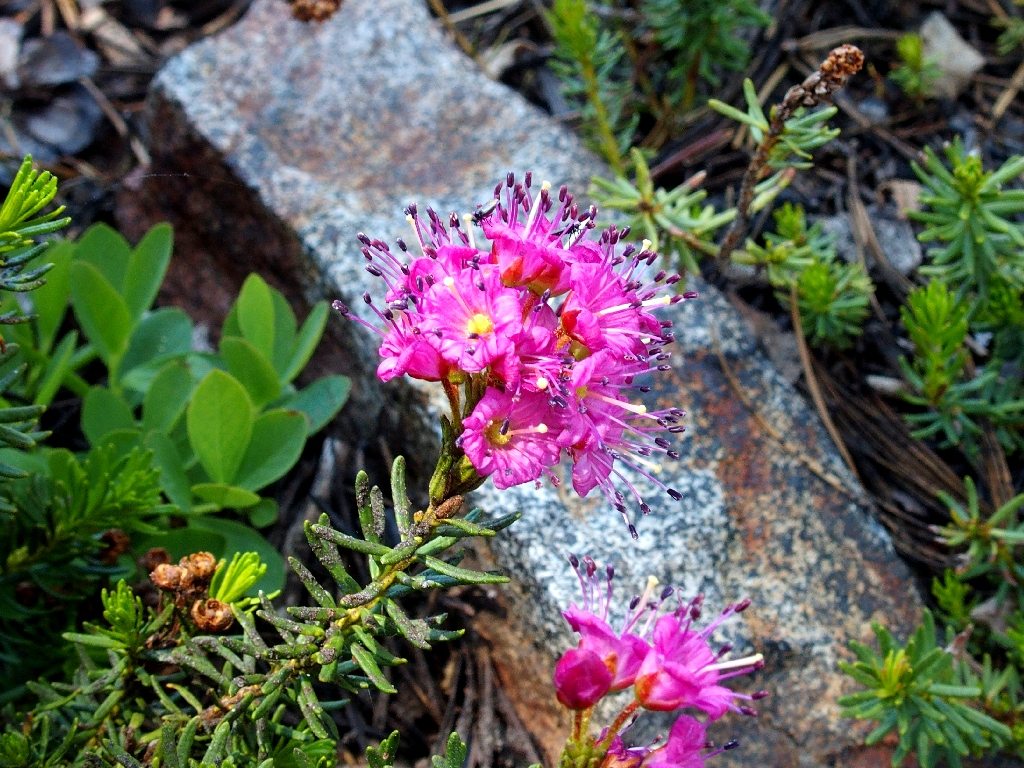
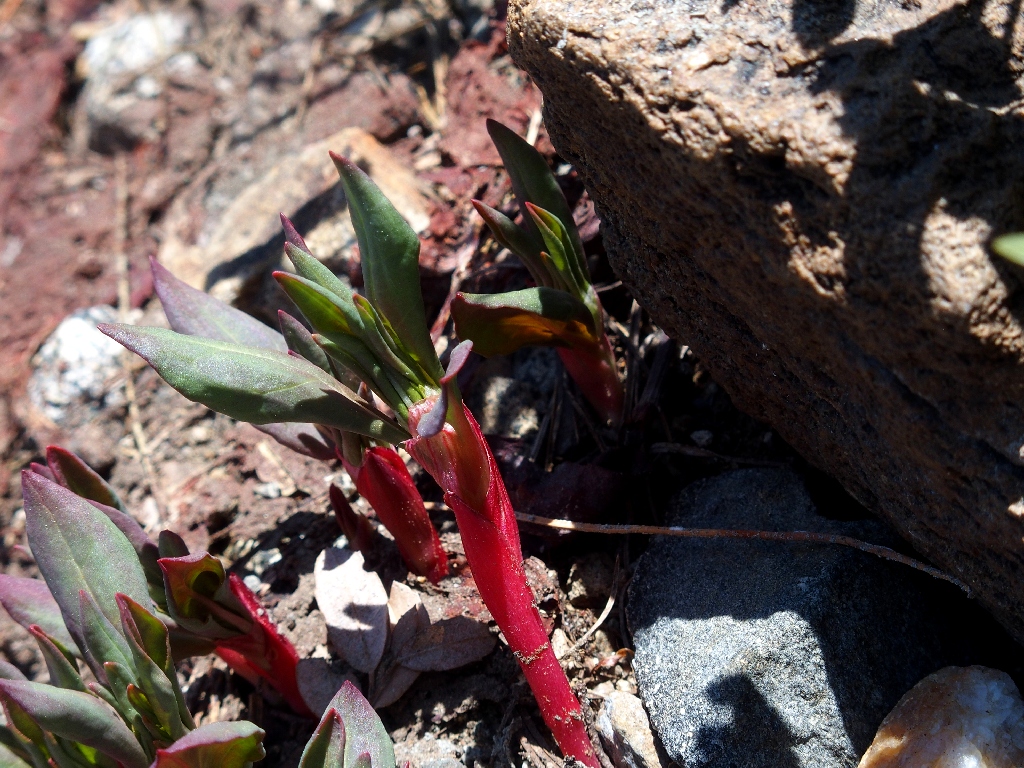
Red Mountain Heather
Safely back on a real trail
Been there, done that
My favorite shot of the day
Someone greatly improved the crossing while I was on the mountain
Heading for the barn
The fishers have disappeared
One would think that that would go without saying
The last obstacle
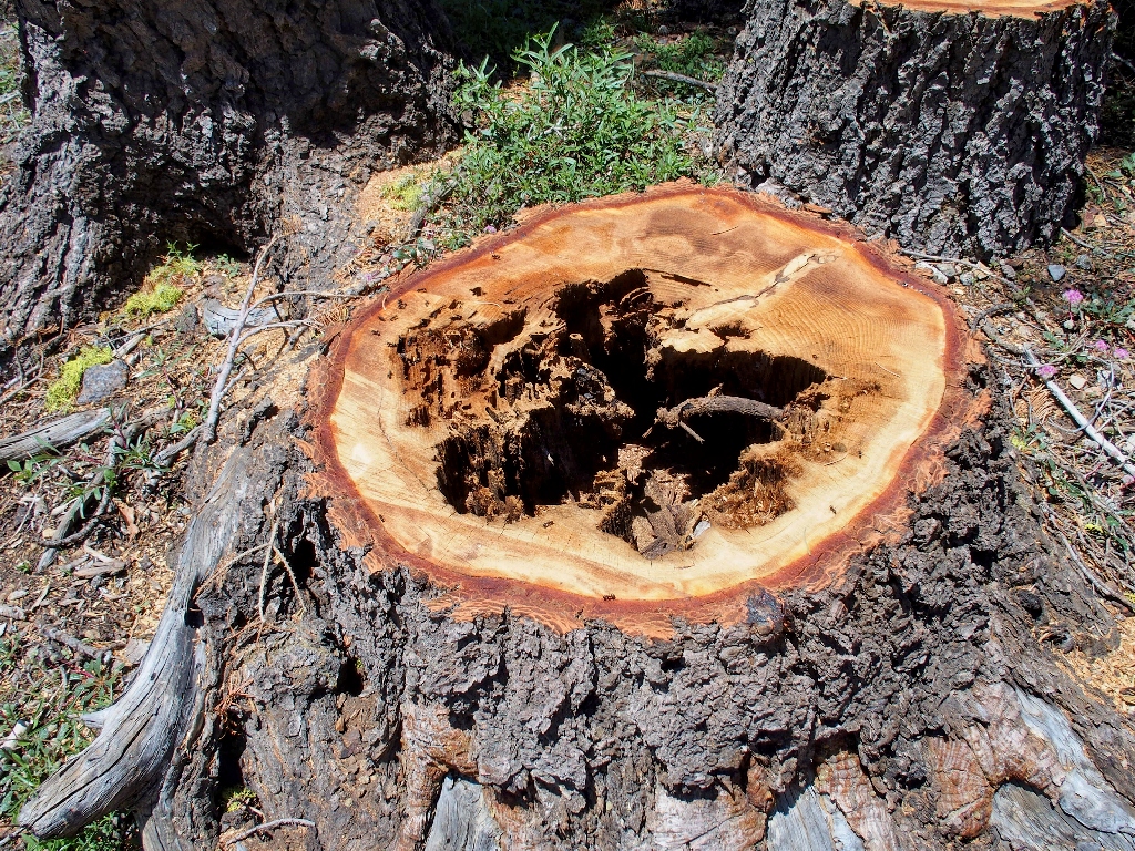
This was not a healthy tree
On the way back, these guys line Bowman Lake Road:
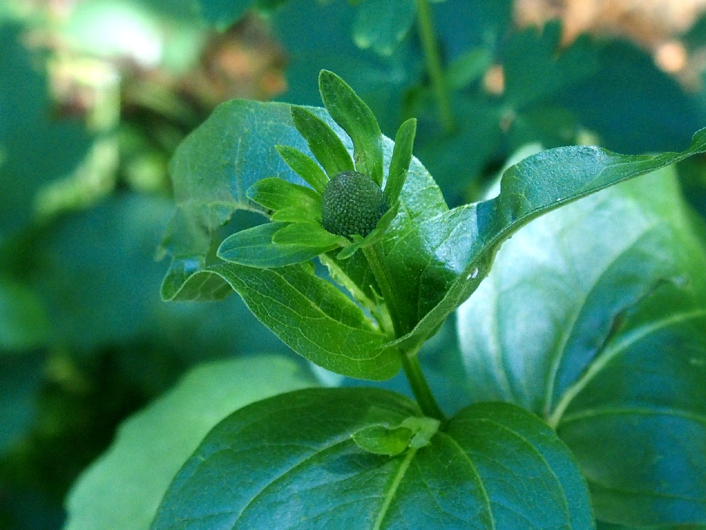
Cutleaf Coneflower
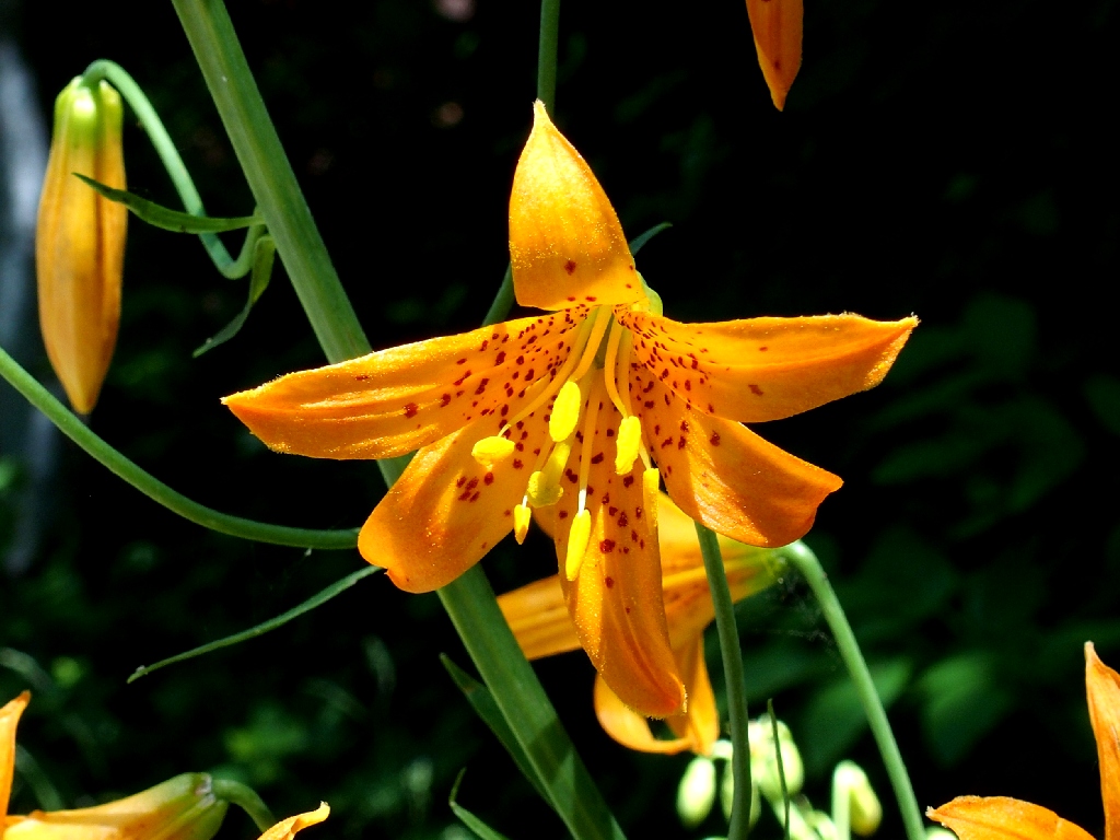
Alpine Lily
§: Well, it was mission accomplished, although the going proved more
difficult and tiring than expected; and of course, my silly elective bushwhack served
only to add a quarter-mile to the trek and wear me out even further.
In retrospect, I am pleased at myself for not having succumbed to an inclination to discontinue the climb when I saw the upcoming difficult section. Albeit not nearly as strong as I was a mere five years ago, I haven't lost it all just yet.
| Scenery |  |
| Difficulty |  |
| Personality |  |
| Adventure |  |
| Flowers |  |