
Tahoe National Forest
|
Hidden Gems of Donner Summit - Part 2 Tahoe National Forest |
August 16, 2022
It being too hot for a long outing, I have zipped up the freeway to Old Donner
Summit again. I can do a reasonable walk of some kind, yet be off the trail early
enough to avoid the heat. It already is 62 degrees at 7,100 feet as I
start out.
Today I am on a special mission. Five days ago
(Hike #523),
my companions and I discovered an amazing off-trail feature —
a sword lodged firmly in a granite boulder! That phenomenon was, of course,
sufficiently interesting to prompt some online research.
I found a pertinent article in the April 1, 2018 newsletter of the Donner Summit
Historical Society. It features a nice photograph of the sword in place, and
another of a hike leader trying to pull it from the stone. This is great,
except for one all-important fact: that is not where the sword is today!
Or more accurately, that is not the location of the sword that Cindy, Eileen and I found five days ago. Perhaps there are two of them! In any case, I have returned here determined to resolve this disparity if possible. Armed with printouts of the online photographs, I will try to match up the trees, rocks and whatnot, and find the other site.
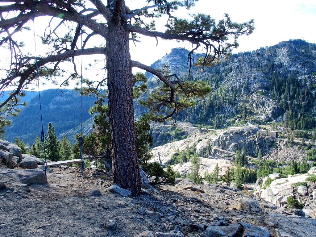
The functional swing is in a most unexpected location
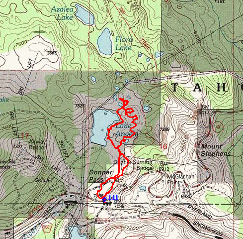
Because this area is so relatively easy to traverse, there are trails running all over the place; and it took me only 60+ years to try one! Go figure. Heading directly for Lake Angela, this route rates to be shorter and easier than using the PCT as the three of us did last week.
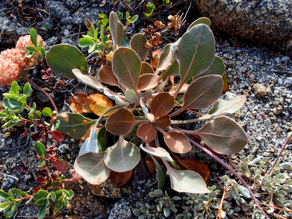
Lobb's Buckwheat
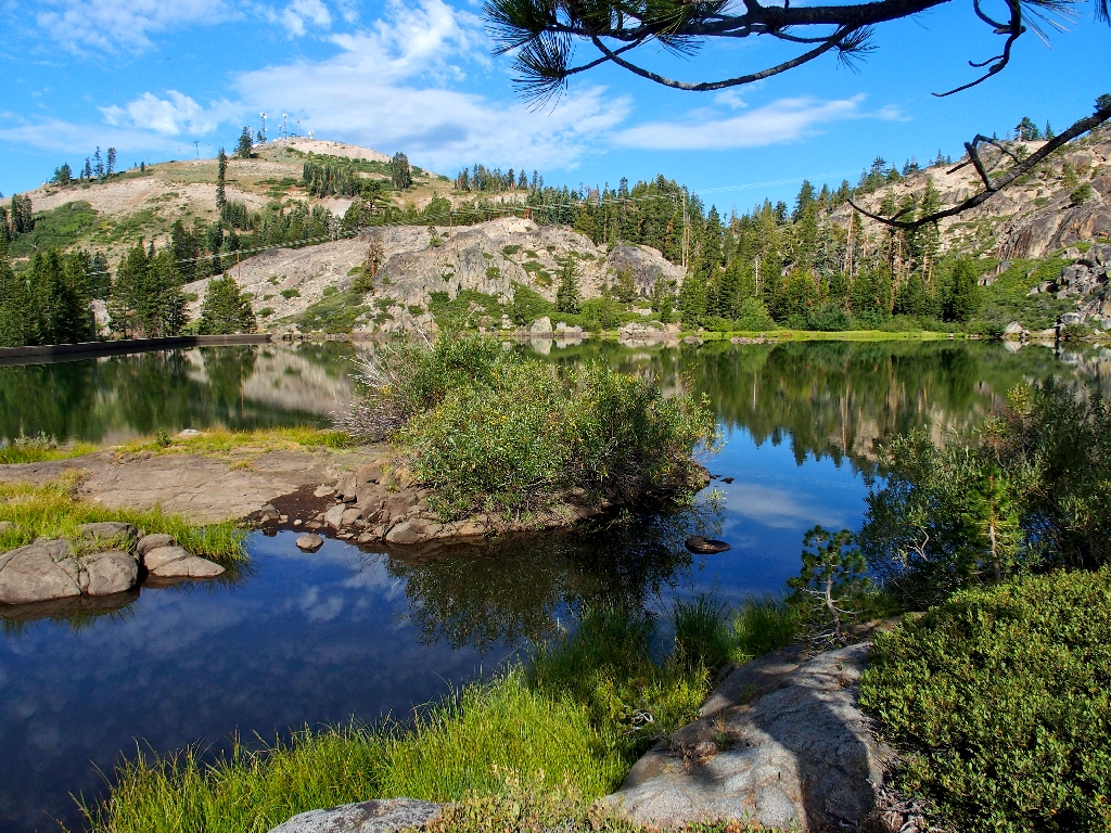
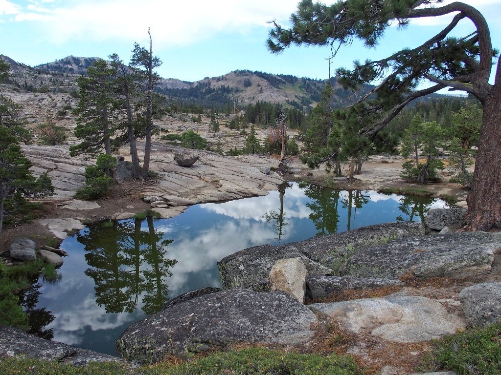
Within three-quarters of a mile I reach Lake Angela; this is the first time that I have been at this end of it.
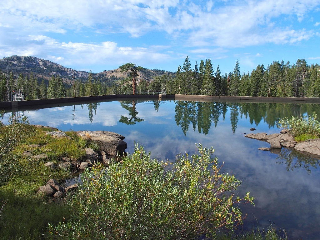
Lake Angela Dam
Today's total calm is great for photographs of watery places.
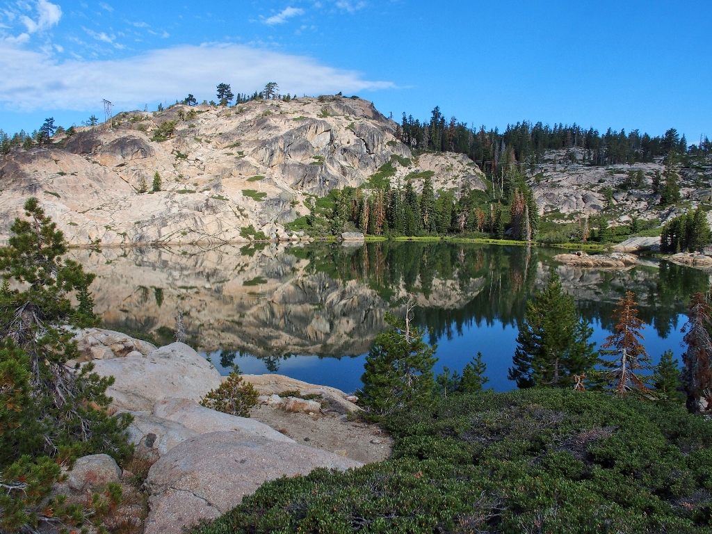
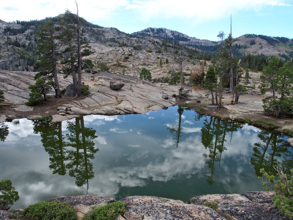
Continuing along the lakeshore and ignoring the many redundant PG&E
"No Trespasing" warnings, I reach the familiar east end of the lake
fully four-tenths of a mile sooner than on our previous attempt.
It is unlikely that I will go the other way again.
Reflection!
Just five minutes more walking gets me to the first objective.
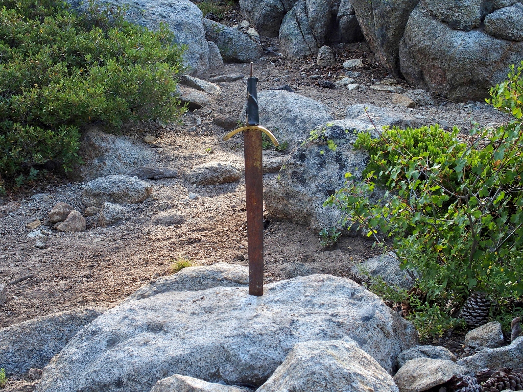
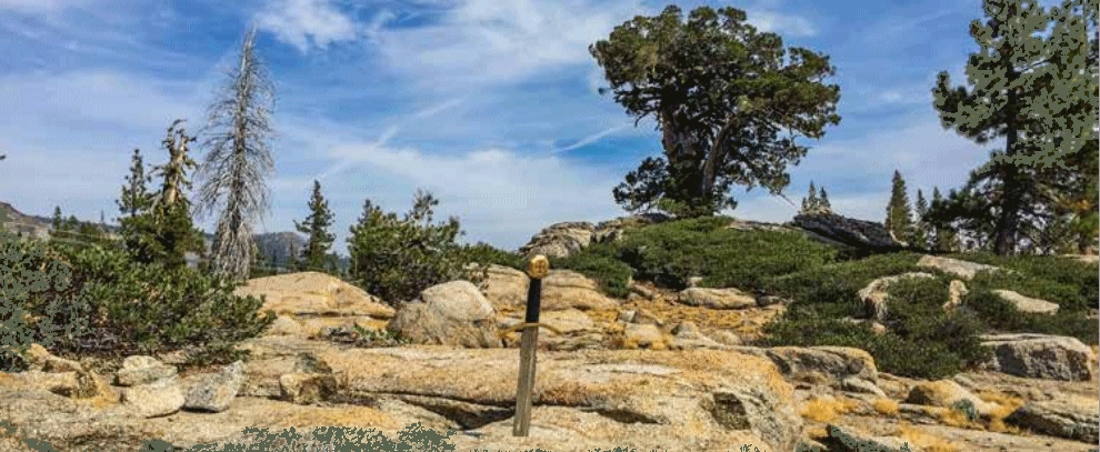
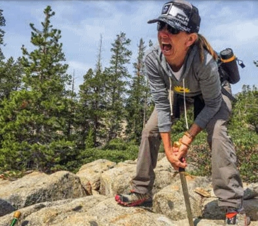
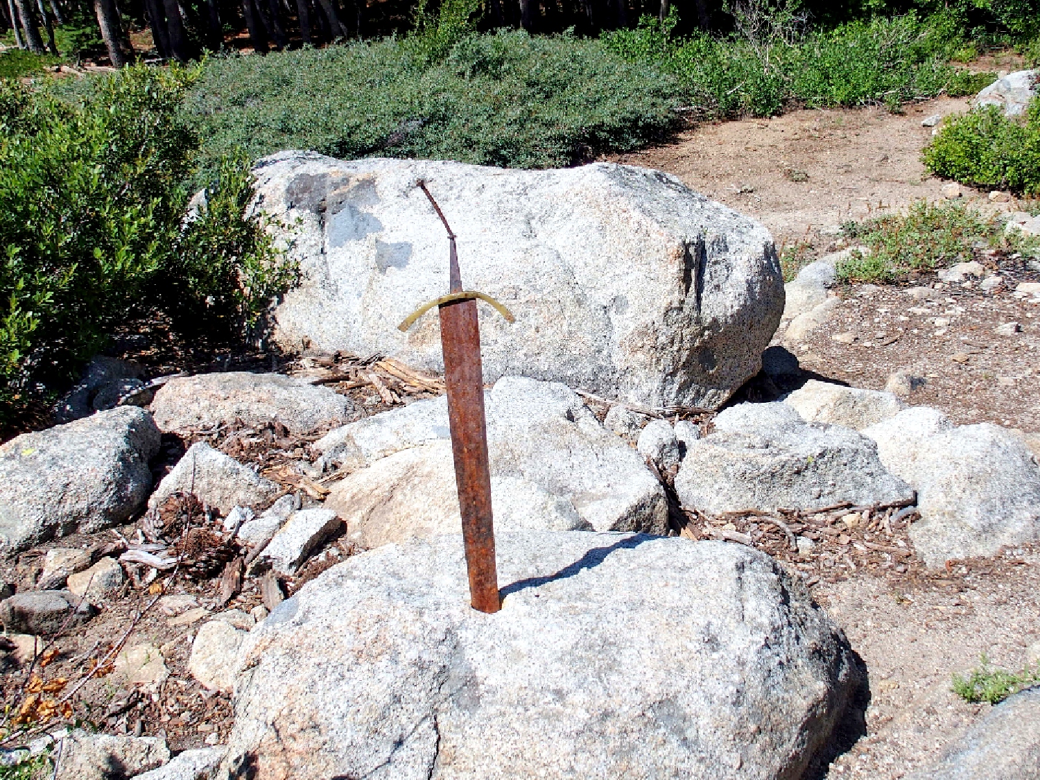
Excalibur is right where we left it five days ago
After confirming that this site truly does not match anything in the photographs, I begin the search by traipsing up the nearest hillside.
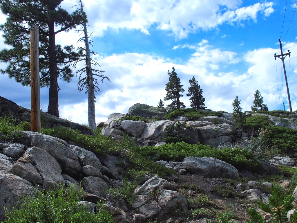
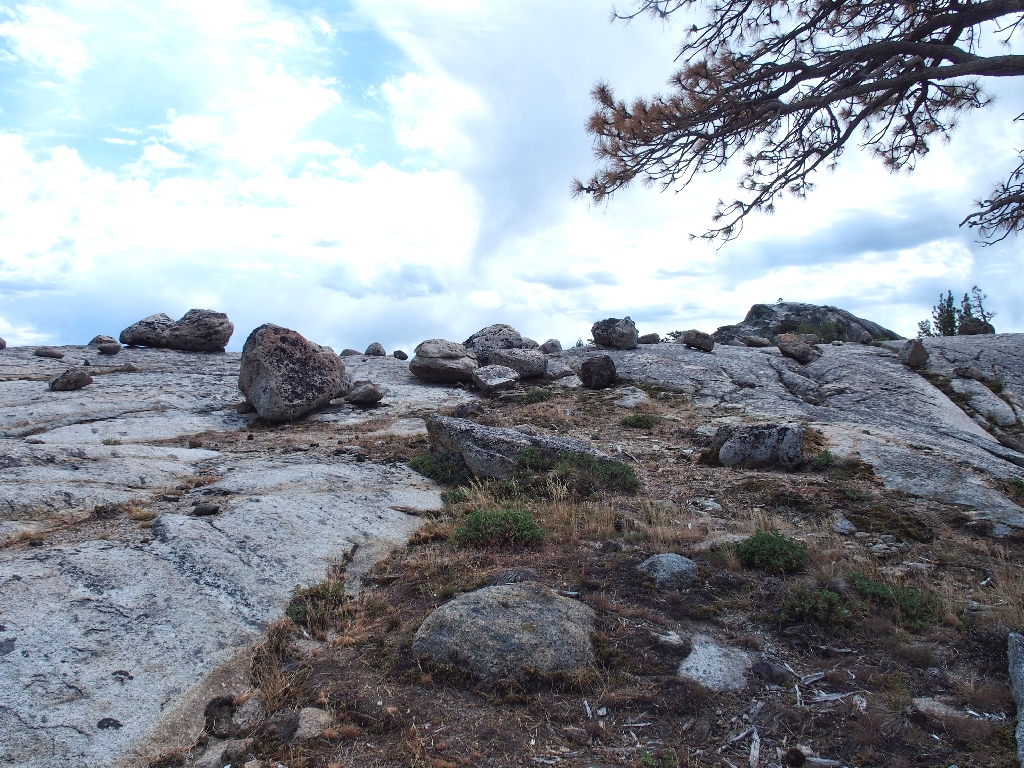
The boulder field at the top of the hill is worth another look later; but I seem to be too high up now, so I return to the sword and head north a ways. The powerlines ahead presumably are the ones in the picture, so my range will be limited.
Miraculously enough, with the help of two trees and a mountain in the printout, I manage to match up the surroundings just a few hundred feet away, and right next to the trail. Wonderful!
This is what I was hunting for...
...and this is what I have found!
As expected, no sword is in sight; so it was moved or replaced for some reason.

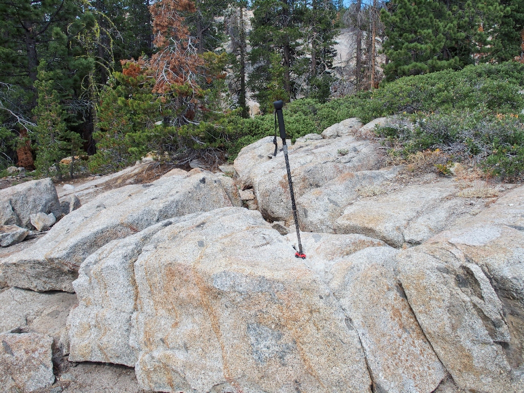
The walking stick is where the sword was
No future King of England here
The same angle today
This sword's actual placement comes as a surprise. Merlin didn't magically shove it into the stone after all; he merely slid it down a convenient crack. It's my guess that the applied mortar was sufficient to hold the thing in place for a time, but eventually the blade worked loose from repeated handling.
The new sword is much more firmly placed in its rock; in fact, it's pretty amazing. Merlin did a better job on his second try.
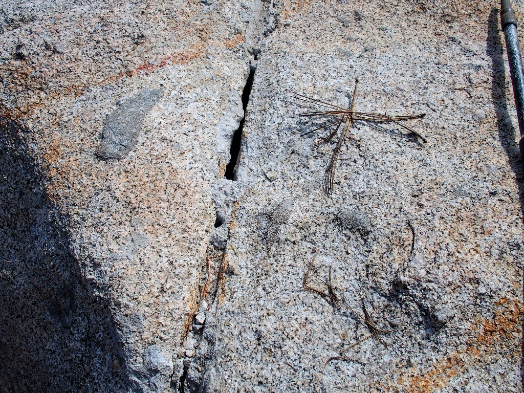
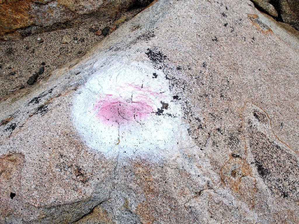
This is where the sword was — cemented into the opening; some of the mortar
remains
Well, that part of the mystery has been solved, and I wasn't dreaming it after all. Now it is time for some more exploration.
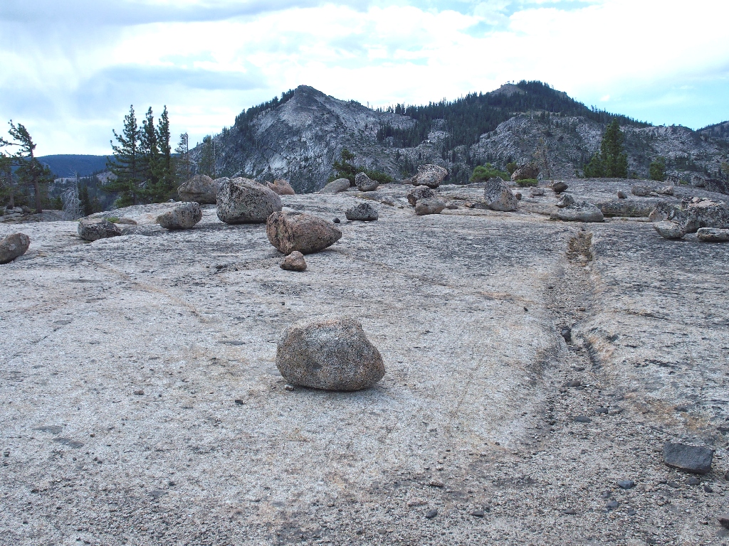
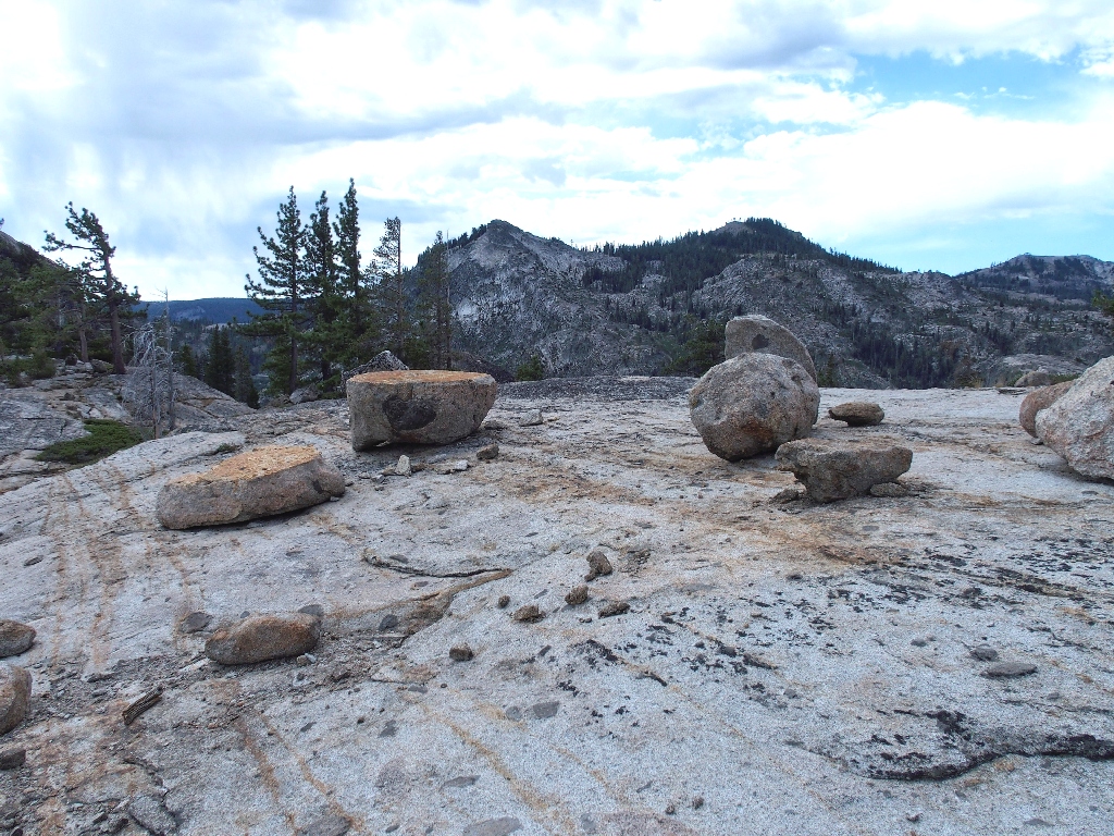
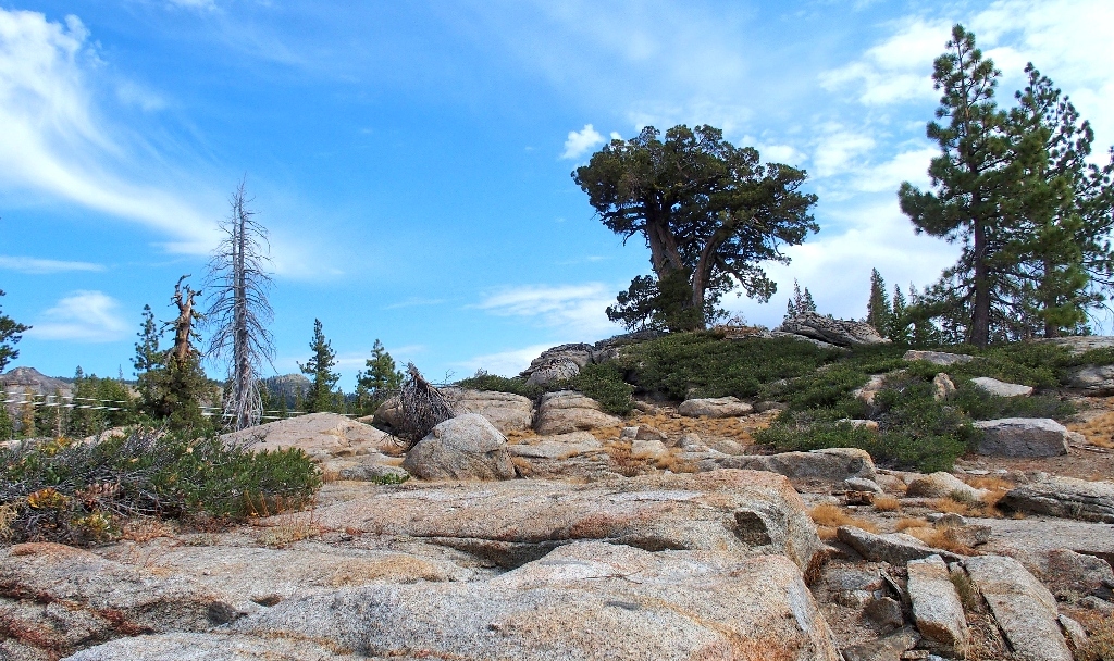
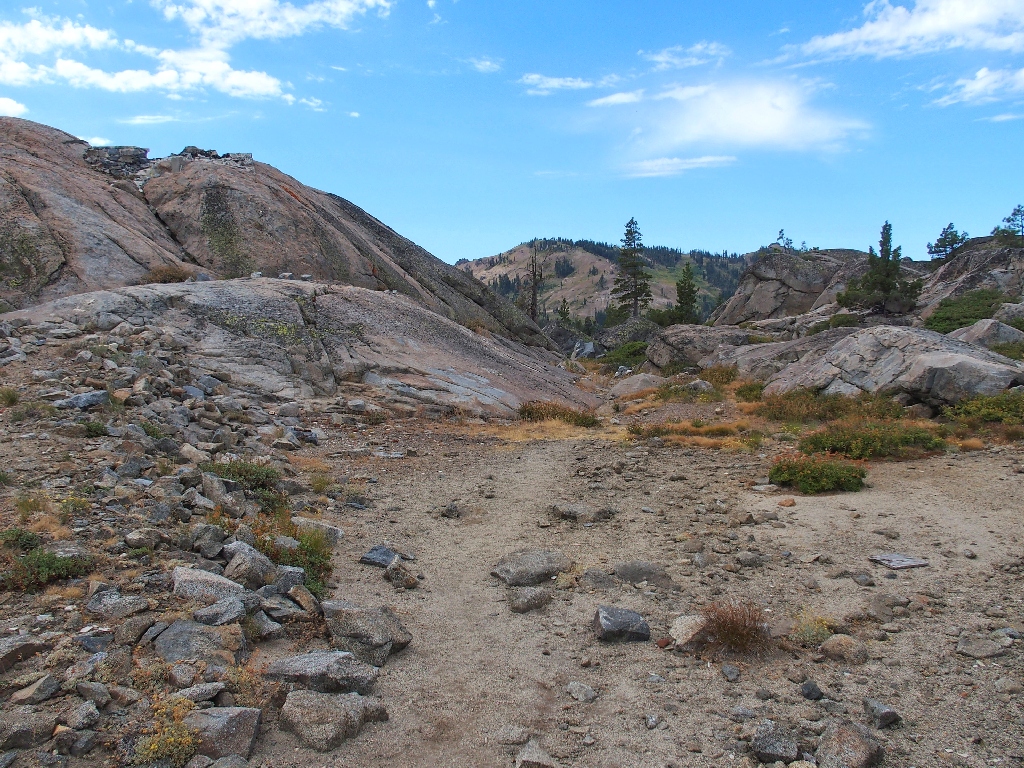
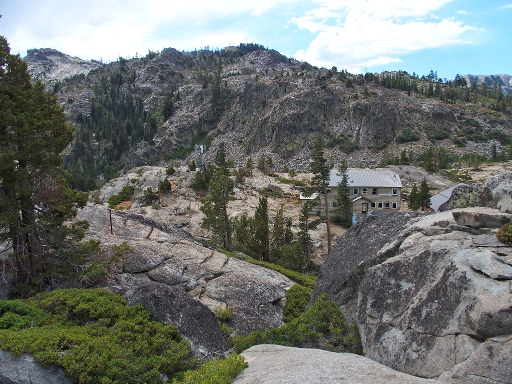
The boulder field is right next to the Pacific Crest Trail, as it happens
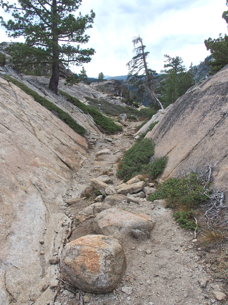
One of many routes between the PCT and Lake Angela
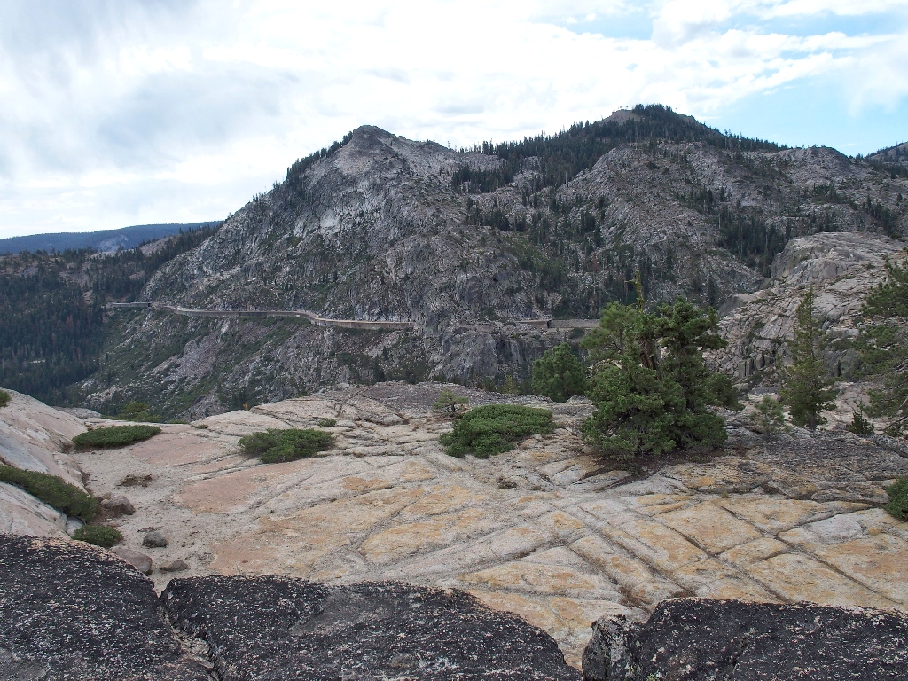
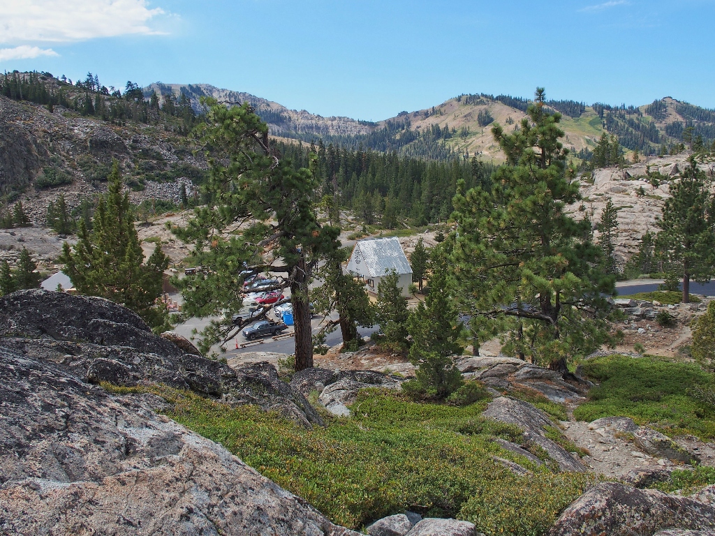
Donner Peak on the left overlooks the famous snow sheds
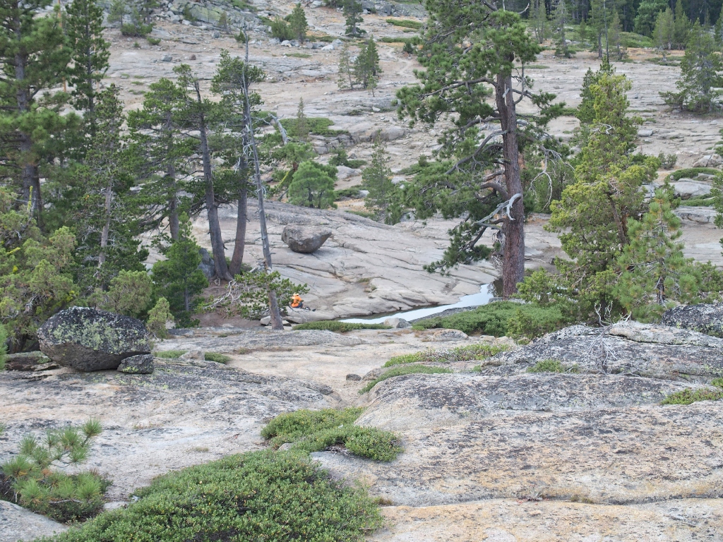
Presently, I spot a man in a bright orange shirt down by a pond —
the one I had noticed on a map yesterday. I must check it out.
Getting down there takes a lot of winding about to circumvent cliffs, which is of course a lot of fun. I am in my element today.
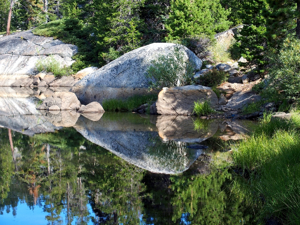
The nicest pond in the area is encased in granite
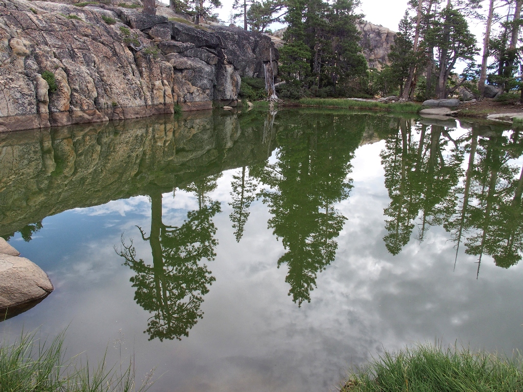
Reflection!
By the time I get down to the water, the man has meandered westward on yet another trail. It takes a while to figure out just what he is doing; finally, my telephoto lens does the trick.
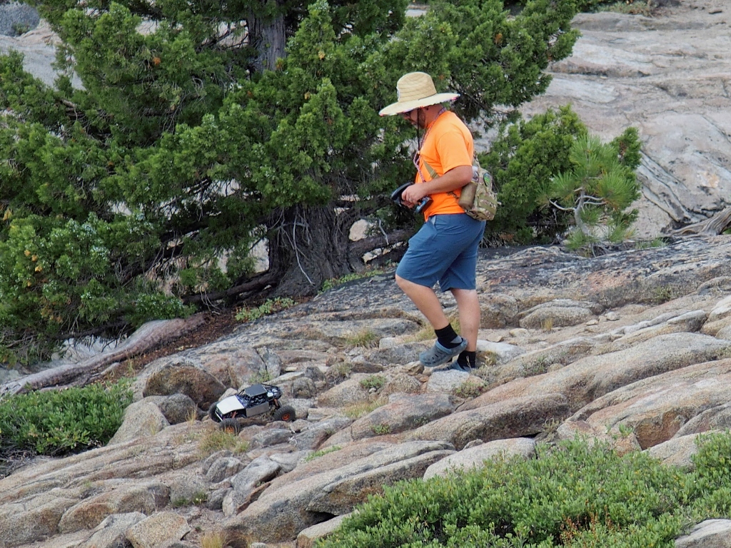
His car is bigger than mine
I follow the man's tire tracks for a while, then change my path.
That doesn't look particularly natural, but I suppose it could be
A snake-like dike
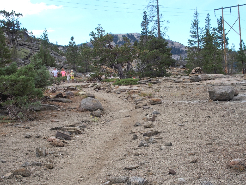
As a few raindrops begin to fall, I am approached by another group of about ten people,
on this very well-defined route. I continue to be amazed by the popularity of
these trails that do not even exist on most maps.
Everybody else knows about this place; why didn't I?
Spotting some interesting ground plants off to the left, I leave the trail for some photographs; and I am amply rewarded.
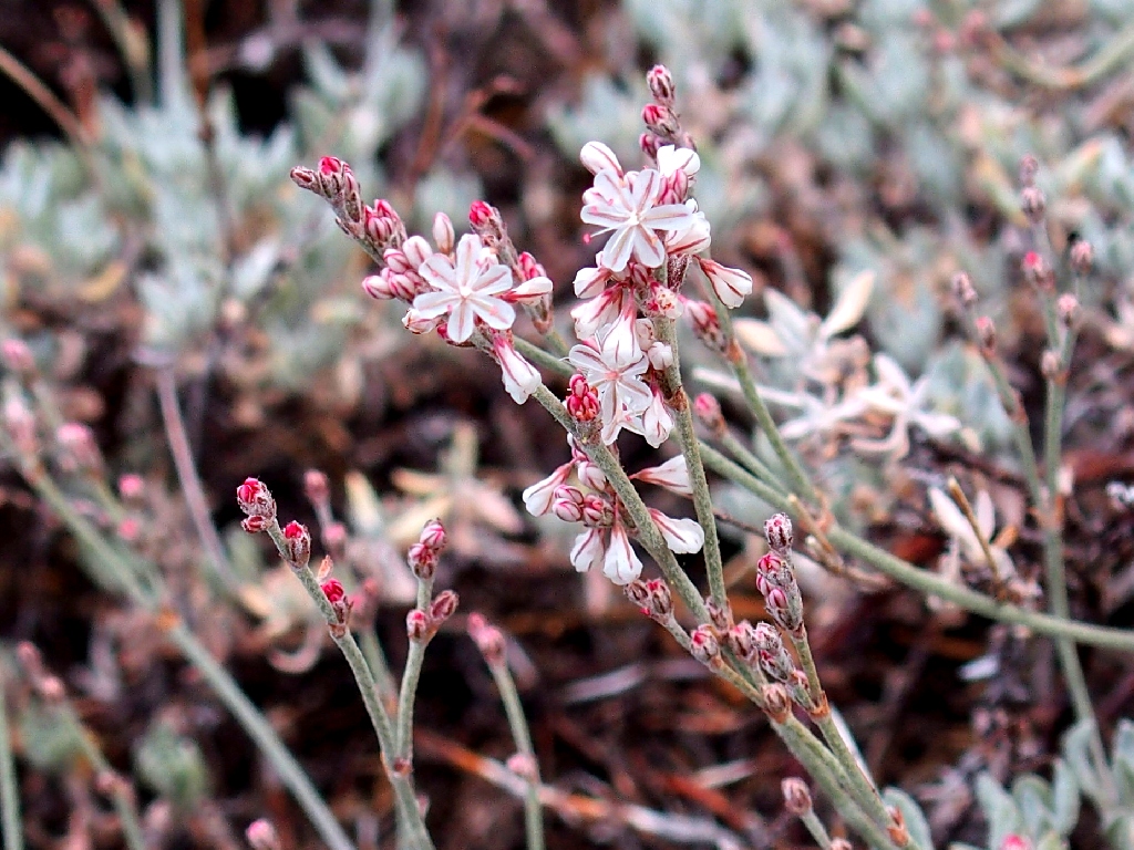
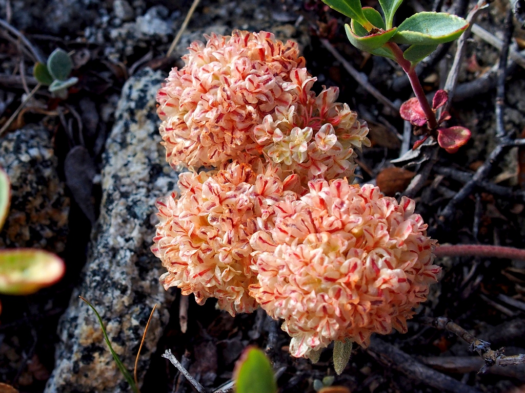
Wright's Buckwheat (new)
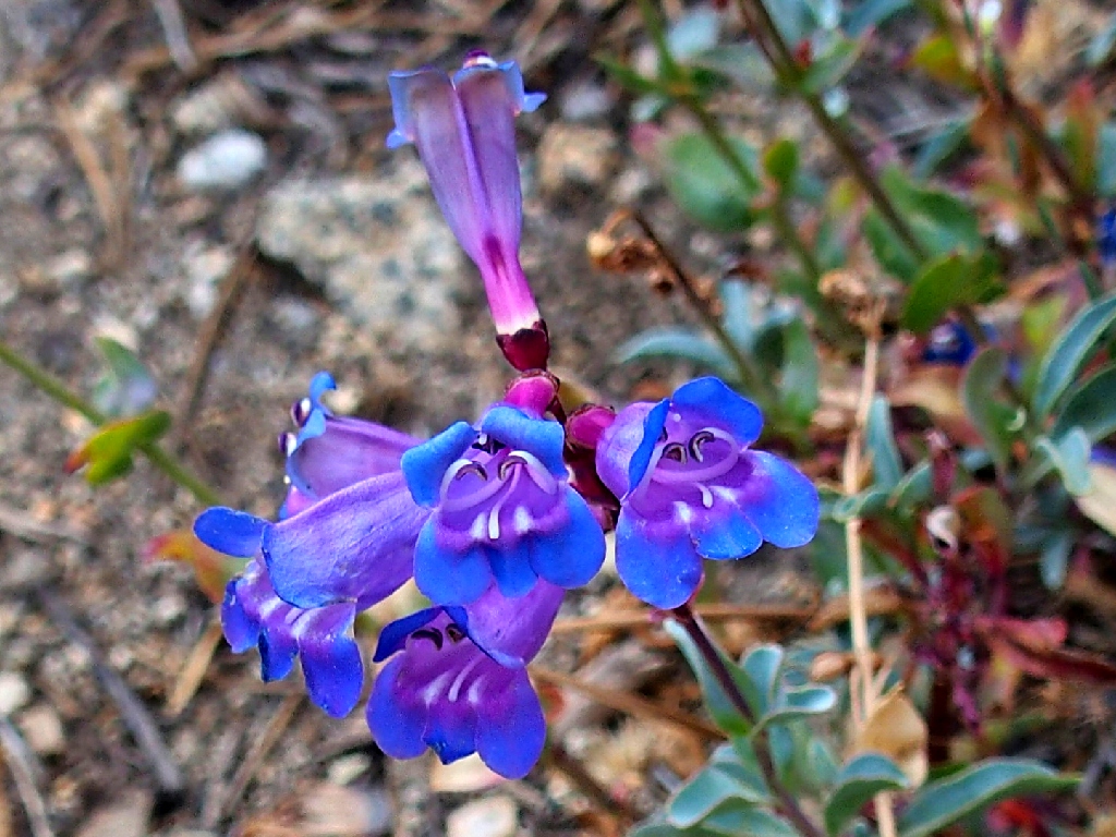
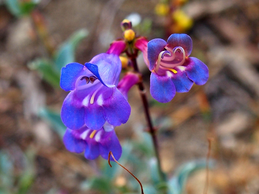
The (Azure) Penstemon are predictably exquisite
The highway is just behind those rocks
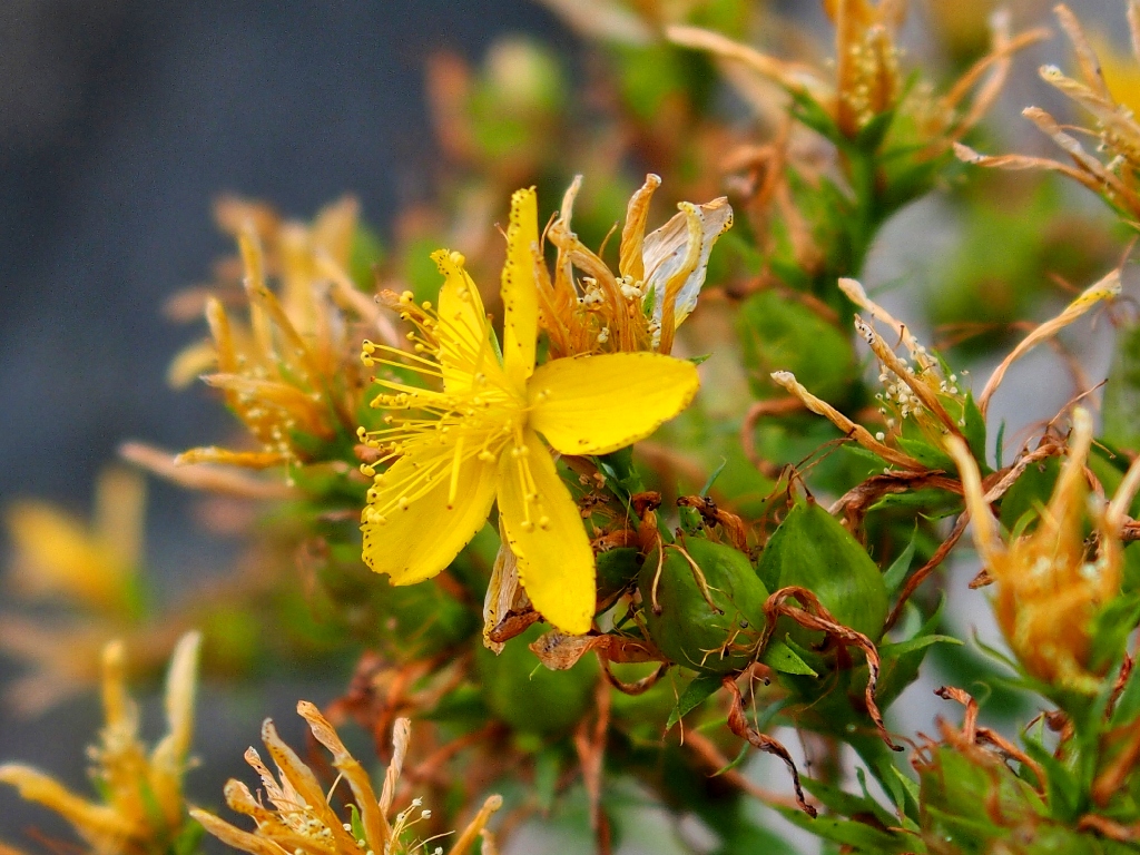
St. John's Wort
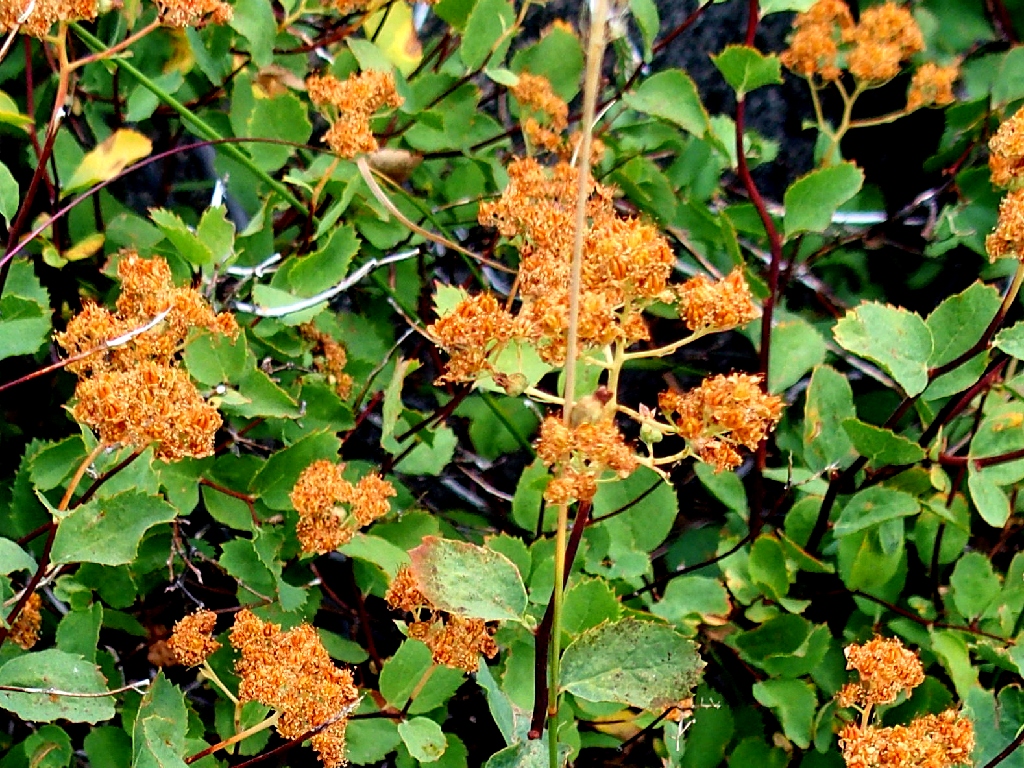
Rose Meadowsweet
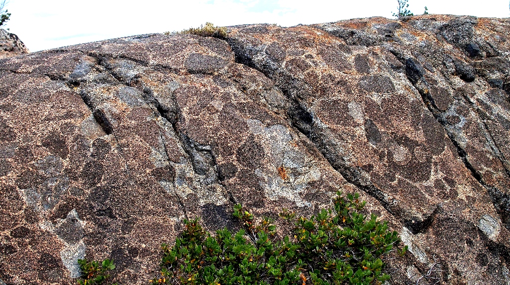
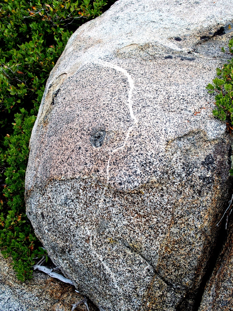
A 'busy' boulder
Rather than retreat to the well-trodden route, I continue on a little use trail, knowing that it might cost me; and it does, because I promptly incur the roughest scrambling of the day. It's just a matter of getting down safely, however.
Finishing up at 11:30 a.m., the temperature already is 75°
§: Well, I certainly got more than expected today — new trails,
new flowers, and a mystery solved, at least in part. This was a really
feel-good outing.
It will be interesting to see what the Donner Summit Historical Society has to say about my findings. Will they care? Will they respond? I hope so.
| Scenery |  |
| Difficulty |  |
| Personality |  |
| Adventure |  |
| Flowers | |

UPDATE — August, 2023
A year later, the sword has lost its black handle
Also, something bent it over about 90 degrees; I bent it back as best I could, but the blade no longer is straight.
UPDATE — October, 2024

The sword is gone! All that remains is an orange-colored hole
My first inclination was to suspect that it had been stolen; however, the crack and old mortar from the original location have been meticulouly covered up as well. Something mysterious is going on here; I will attempt to learn what it is.
