
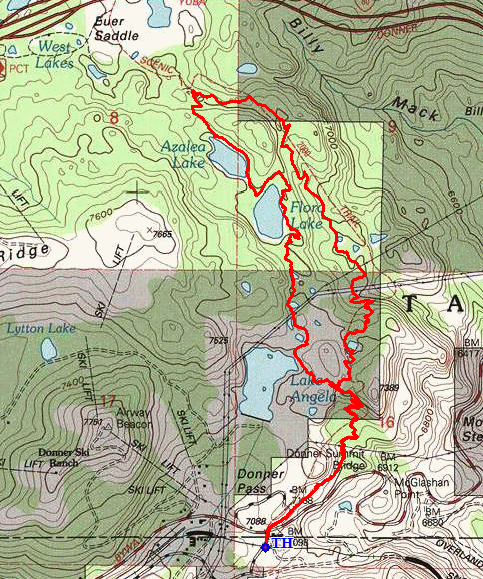
Tahoe National Forest
|
Hidden Gems of Donner Summit - Part 1 Tahoe National Forest |
August 11, 2022
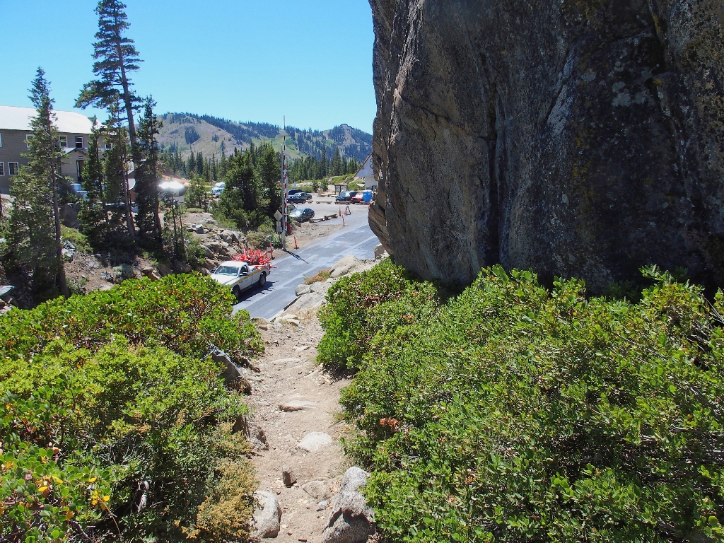
Needing to do something despite the extra-warm temperatures, friends Eileen and Cindy have joined me at the old Donner Summit, which is in its third year of closure to through-traffic. Some final paving is in progress as we arrive; the flagman informs us that the project will be completed by the end of the month. We must cross the highway on some sticky fresh asphalt to access the trail.
Although I have explored today's planned several times previously, access to it always
has been from the north, off Interstate-80. Today, the first mile or so of
climbing will be virgin trail for us all.
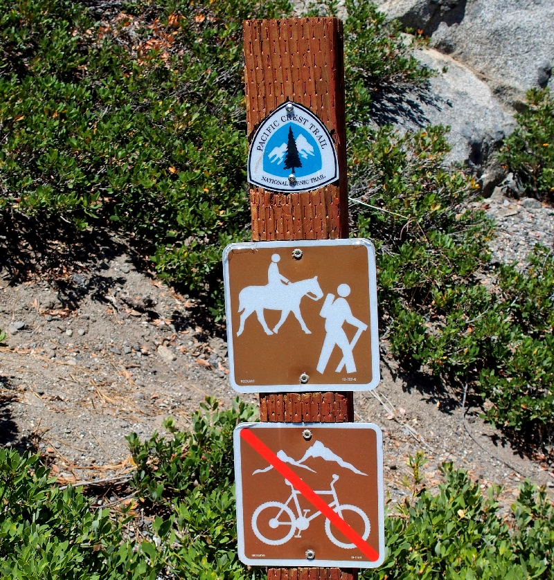
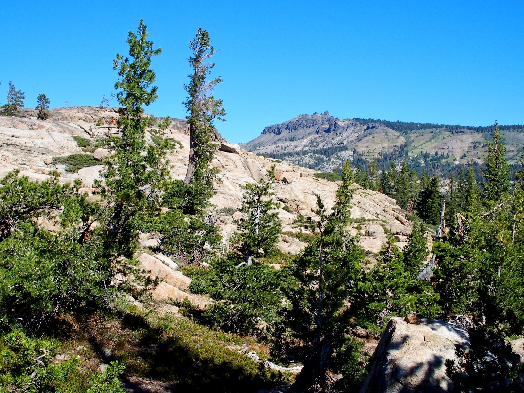
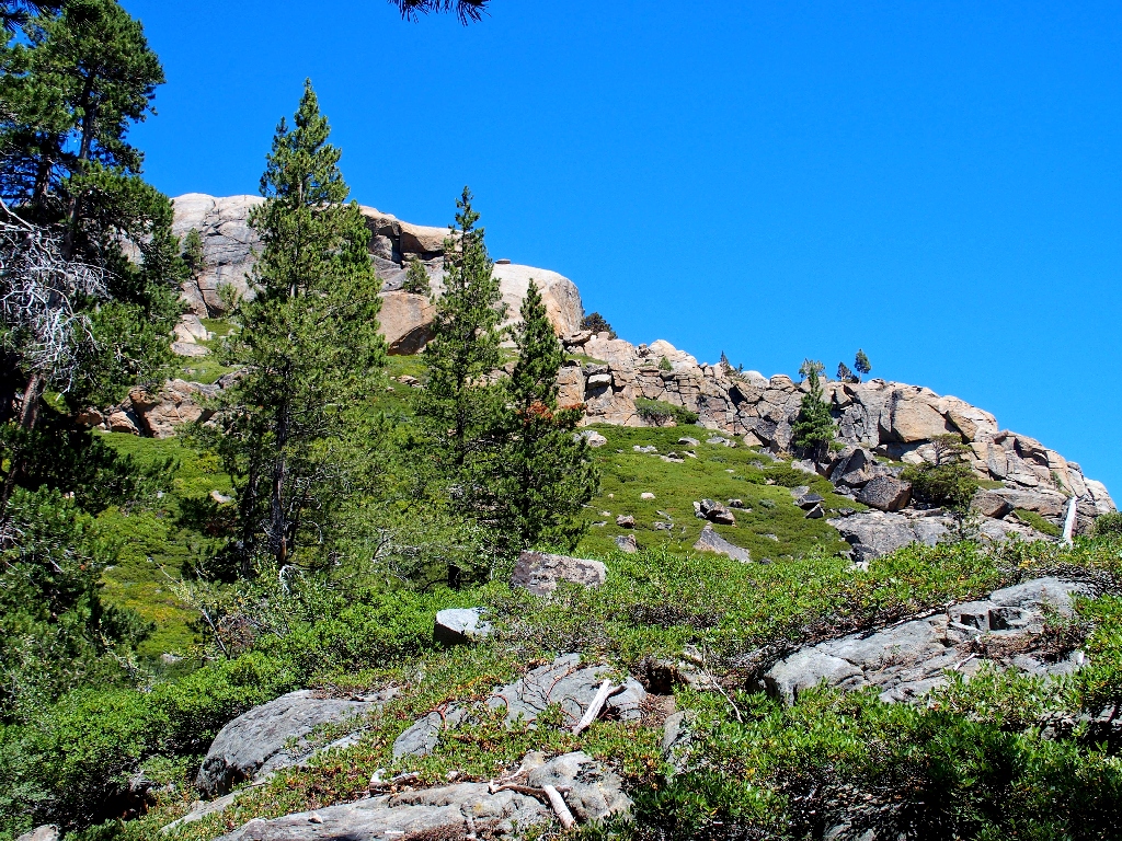
Starting out on the Pacific Crest Trail
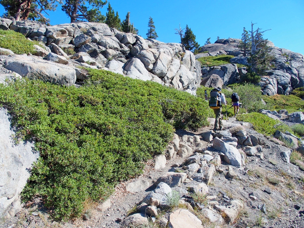
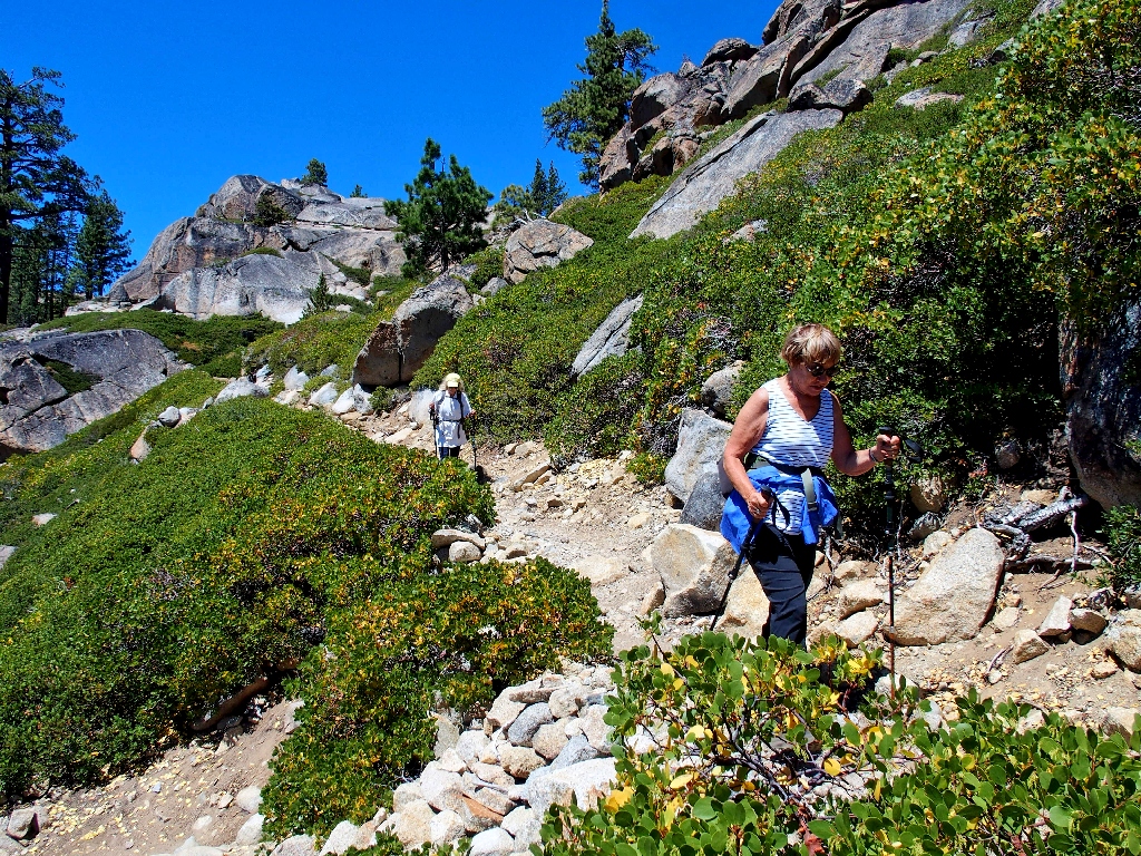
The going is quite rough at the start
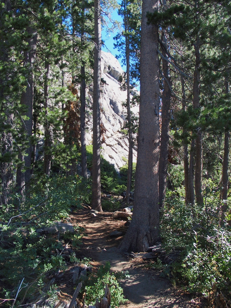
There has not been any climbing yet; in fact, we are below where we started
Donner Peak to the south still is on the to-be-shared list
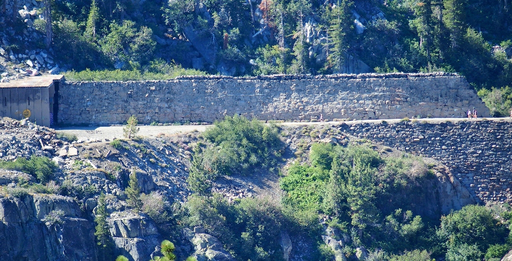
Folks are walking beside the remarkable China Wall en route to the snow sheds
That wall, constructed with no mortar of any kind, is as functional today as it was 150 years ago. Due to a schedule conflict, I don't believe that we will have time today to visit the fascinating tunnels; but we'll see.
After a series of several switchbacks and a 400-foot ascent, we reach the ridge-top, where our loop begins. The PCT starts generally downhill from here in a northerly direction.
First view of Castle Peak to the north
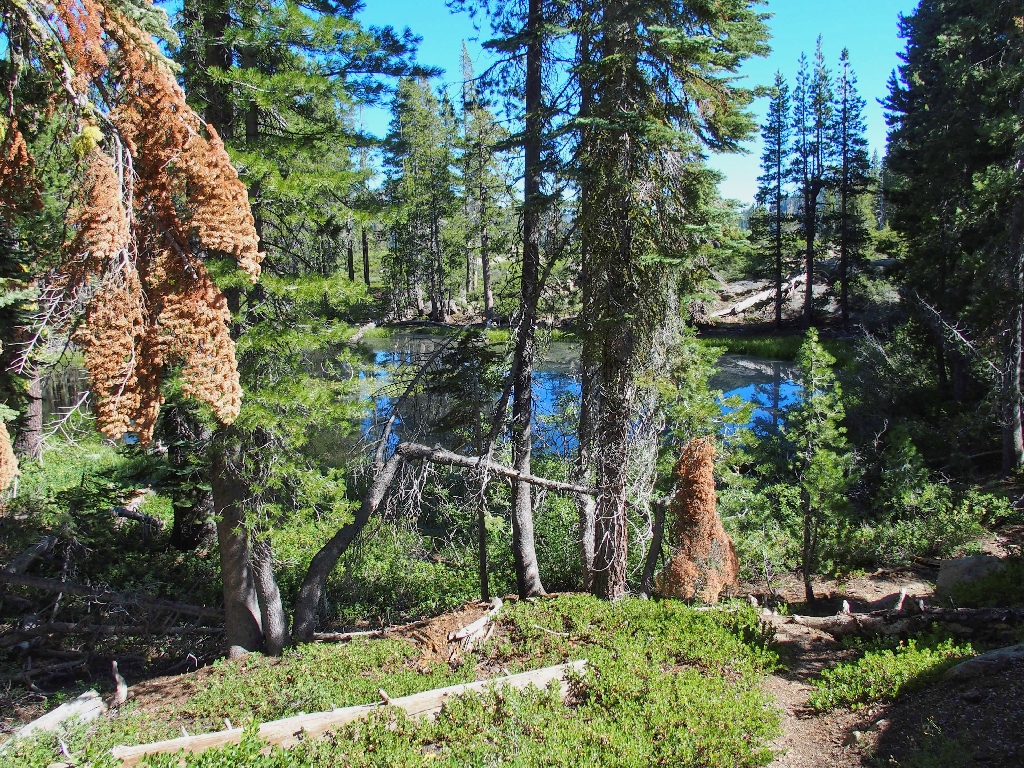
Random pond
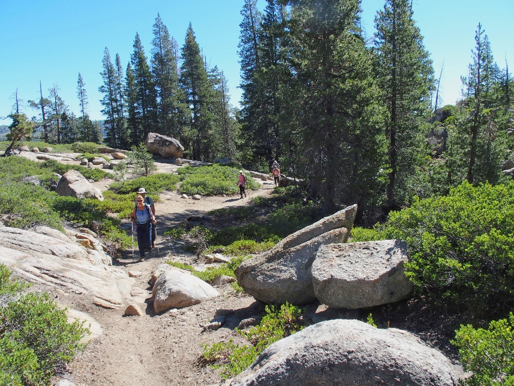
A group of seven approaches
Judging from their packs, those folk also are day-hikers; I have a suspicion that we will see them again later.
That's the noisy Interstate over there
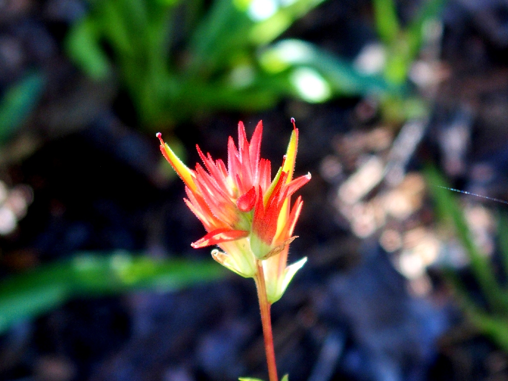
Scarlet Indian Paintbrush
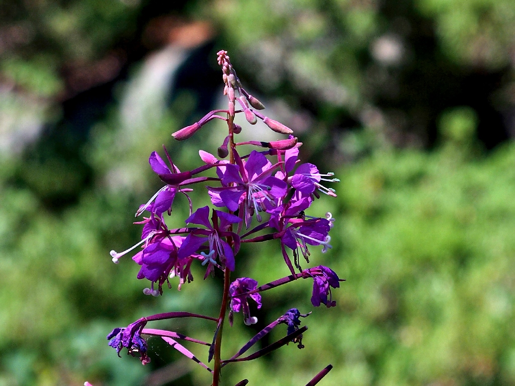
Fireweed
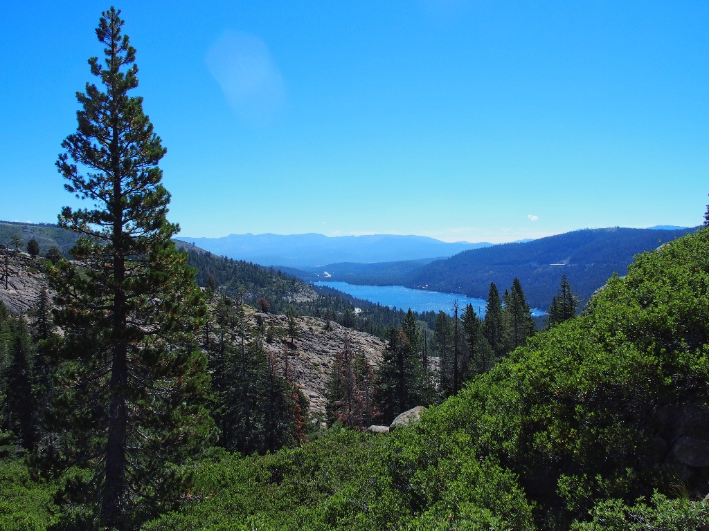
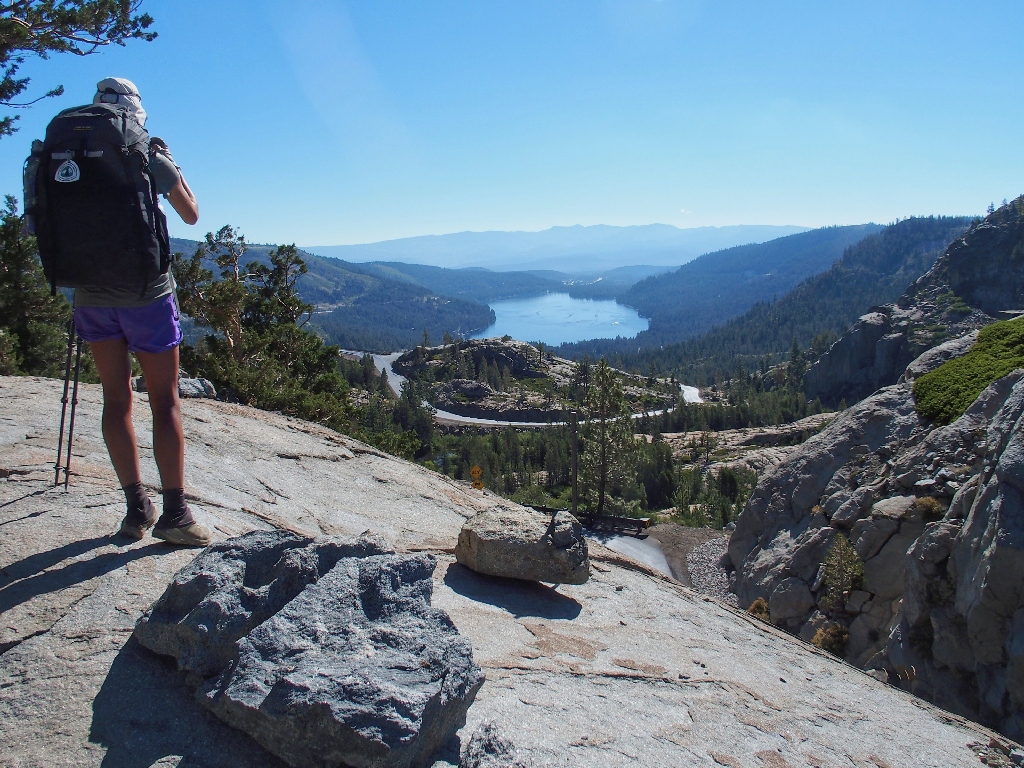
Donner Lake to the east
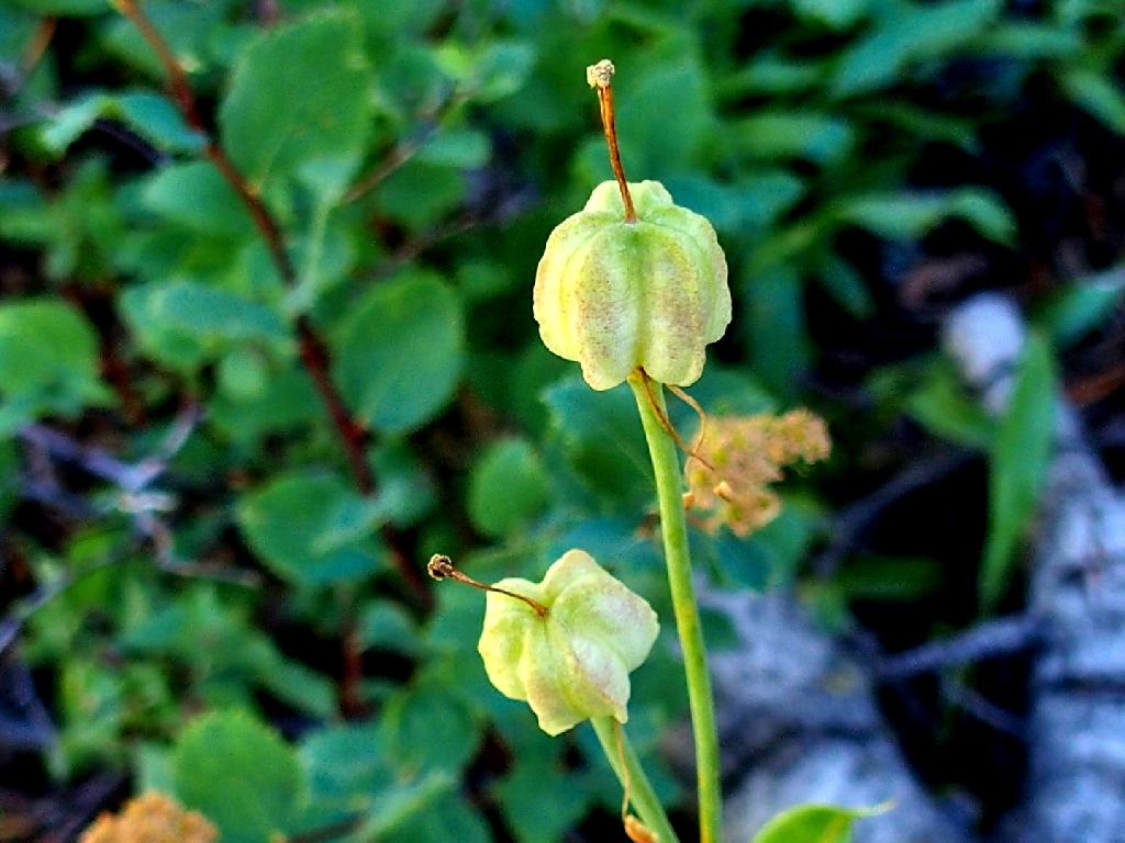
Persian Fritillary
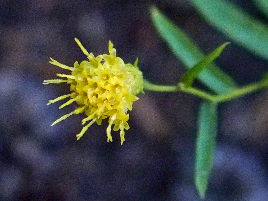
Narrowleaf Brickellbush
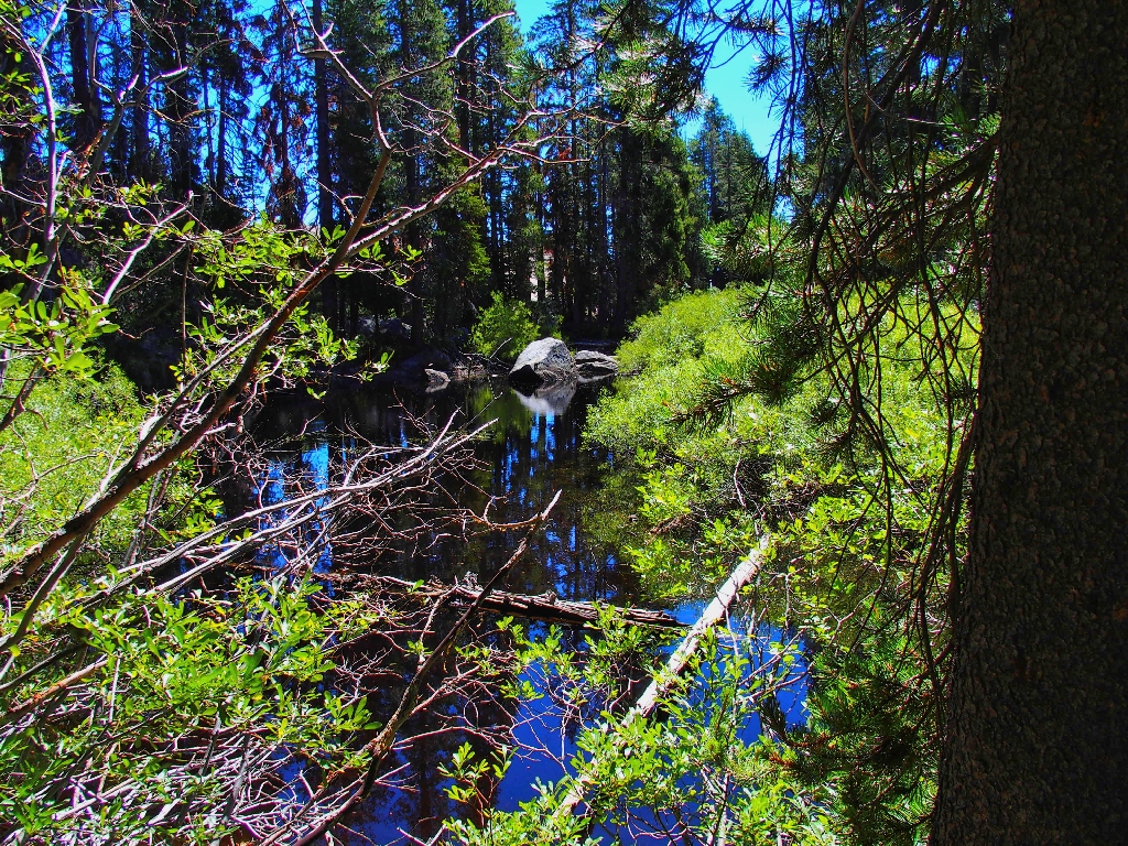
Random pond #2

Arrowleaf Ragwort
This two-mile section of the PCT is relatively uninteresting, but I already knew that. When prodded for information, I admit that there are a couple of lakes in our near future. But where?
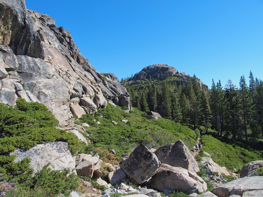
Oddly enough, the lakes are above us, behind that cliff Here we begin a moderate but relentless climb; we must get above that cliff.
During this ascent, the everpresent dull roar from
Eventually, we reach the unsigned junction that represents the halfway-point of our
journey. Turning south onto an unofficial but fairly
We stop here for a snack. Presently, a big man that had passed us on the trail
just ten minutes ago appears, greets us again, then keeps going. Apparently he
had missed the unmarked junction. Five minutes later, the man reappears and asks
about Flora Lake, then admits that he is scouting the area for his children, who
apparently are disinterested in hiking with him unless swimming is a guaranteed part
of the deal. I inform him that the next lake is quite close and is much better
for swimming than this one.
Aha! I was right; this group is on the same mission as we, except that they
started from the northern trailhead.
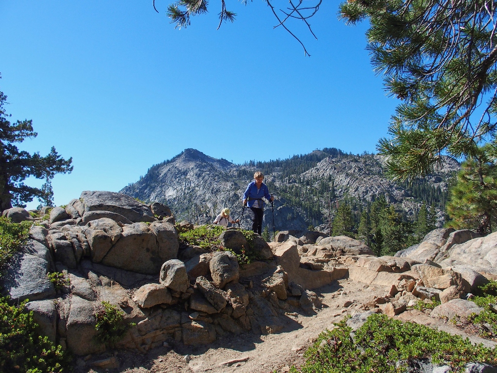
At one point, the trail runs right atop the edge of the cliff that we were admiring
earlier. Our erstwhile route is quite close now. Who would have guessed it?
Swimmers are all over the place
Two years ago, Eileen and I came through here from the other direction.
Having lost track of the social trail, we ended up incurring a difficult scramble down
the cliff across the way. At one point, my companion dropped a walking stick,
which slid down a rock and into a
Determined not to retrace that errant route, I opt for us to turn left at the south
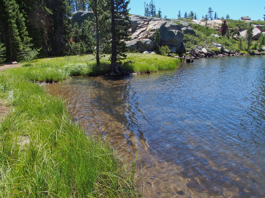
end of Flora Lake onto a reasonably Continuing on the nice trail, we are met by a group of a dozen people of all shapes
and sizes, and which could be members of a single family. The woman in the lead
exclaims that she is pleased to meet up with us, the first hikers they have seen on their
entire walk, meaning that they are "on the right trail".
Getting onto this route is not an accidental happening, so someone in the group must
have some knowledge of what they are about. I assure them that Flora Lake is but
ten minutes away.
My prior explorations have been over closer to the big dropoff. Still on
unfamiliar ground here, I spot a strange post sticking high into the air.
What is that about?
We are virtually underneath some power lines at the moment, and Cindy observes that the
lonesome post looks just like one of the power poles, albeit shorter. Perhaps it saw
some action in days past. Heading up the little slope for a photograph, I spot something unusual over to the right,
which turns out to be the most amazing find of my entire hiking experience!
Of course, I must go through the motions of attempting to dislodge the saber, but
predictably to no avail. In truth, I didn't want to become King of England anyway.
I must research this serendipitous find further (see Addendum); meanwhile, our
third and final lake is just around the corner.
Just past the lake, the route becomes obscure. A clear path runs to the right
along the lake shore, but going that way cannot be right. We need to complete our
loop back to the Pacific Crest Trail, which is to our left. Two options remain;
go left over two huge fallen logs onto what looks like rough going, or continue straight
up into the near rocks. Opting to go straight, we must climb up a short hand-over-hand section, then veer
left. This works out, and soon we are on track to meet up with the main trail.
It turns out that the 'normal' route was the one over the fallen logs, but we might
actually have done better.
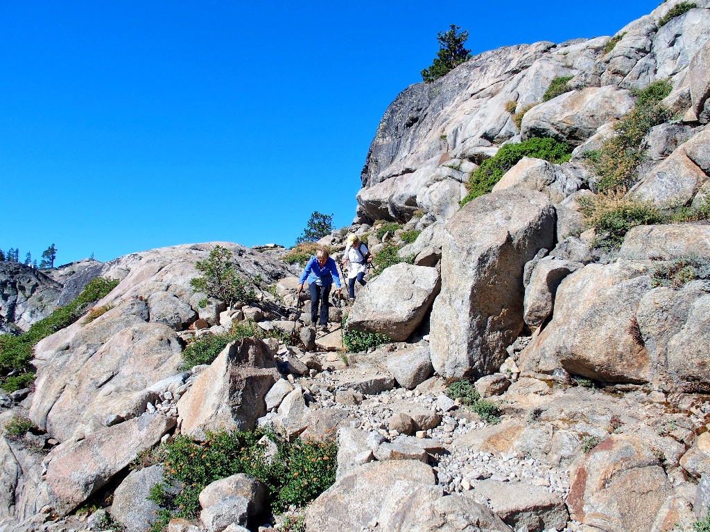
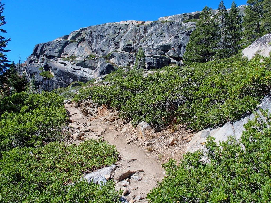
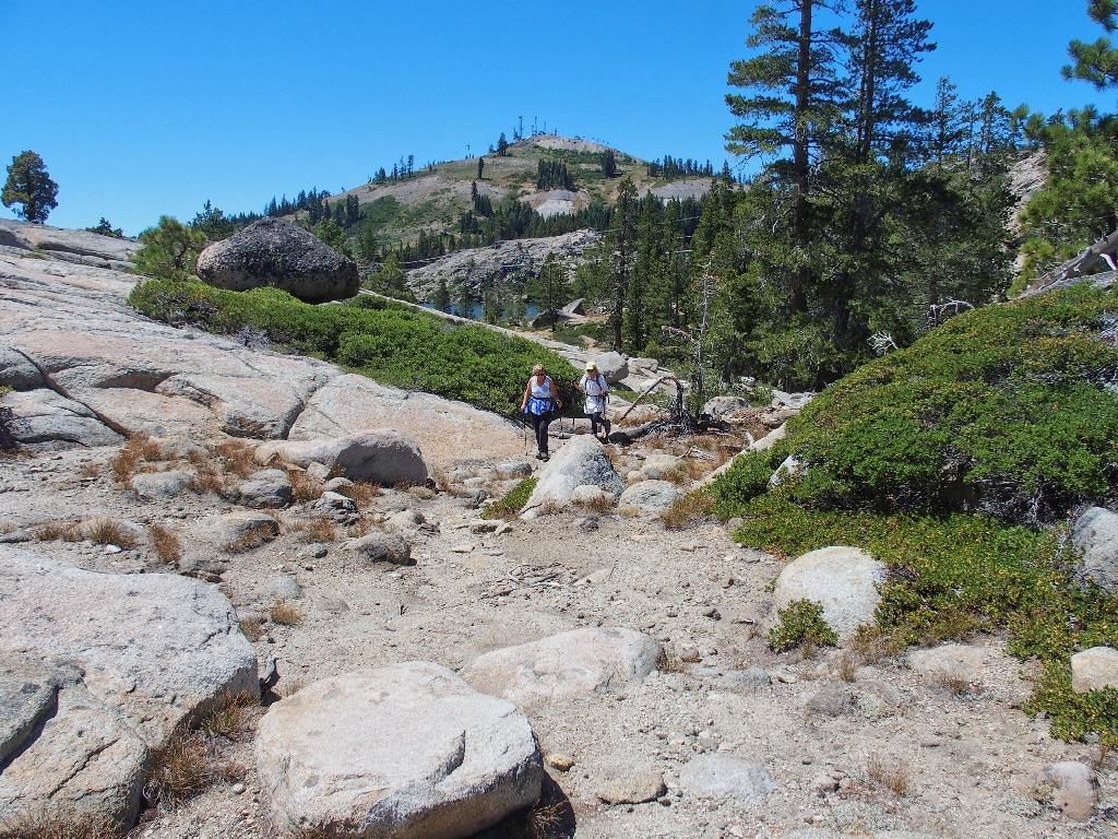
Having regained the ridge-top, it remains only to head back down those switchbacks,
retracing our path on the PCT.
It's a warm slog from here
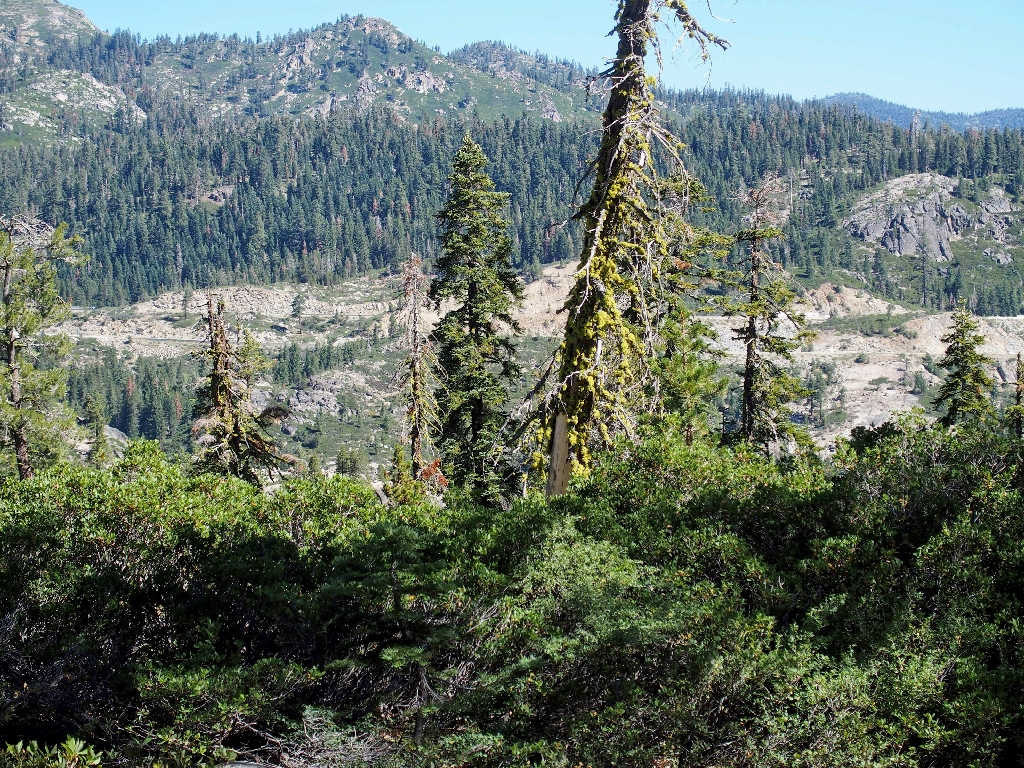
For decades, this area has been a popular rock-climbing venue.
Some voices above remind us to look up occasionally.
Finishing up, exactly a mile from the ridge-top junction I have upgraded the rating because of the unique sword in the stone; however,
there are unanswered questions about that, and I intend to revisit the site soon.
Check out the very next hike.
ADDENDUM According to the lore, there was a magical sword that could cut through
anything, including four inches of granite. It was owned by This current phenomenon probably was inspired by the 2006 movie, Eragon,
which was rated as the 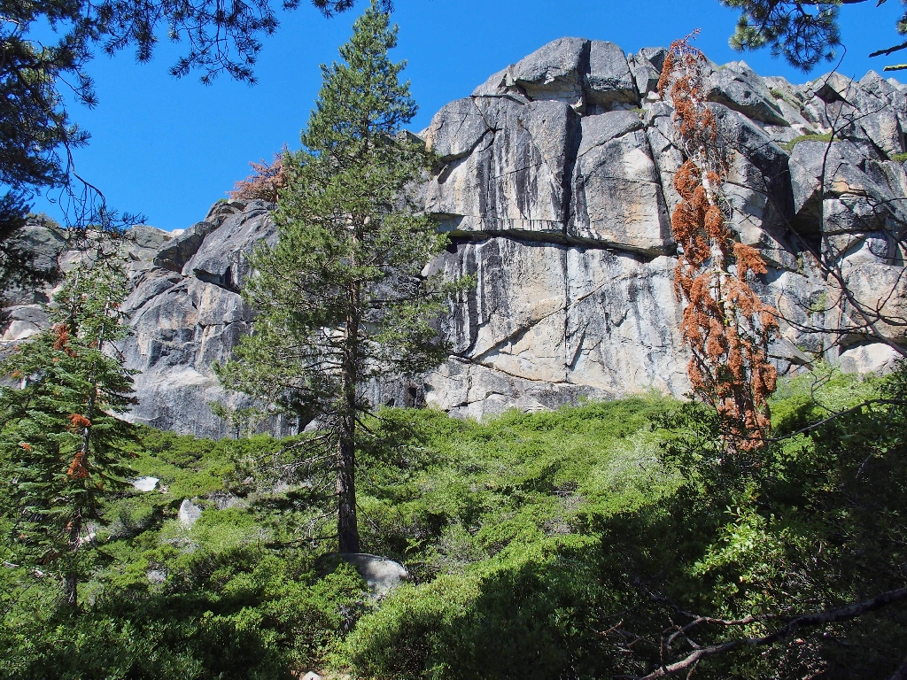
I-80 is not enhancing our cool.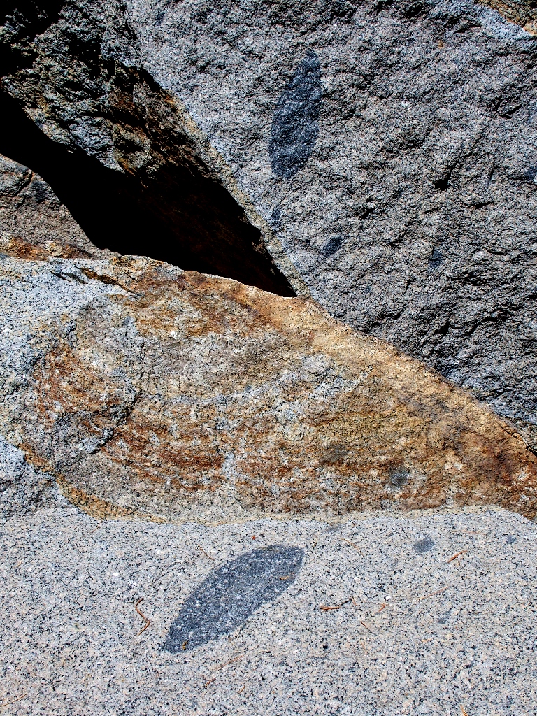
How was that gray leaf-like pattern duplicated?well-used route,
I am pleased finally to be here, knowing that we have 'saved the best for last'.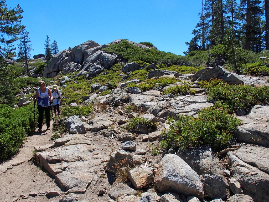
The 'good stuff' is just ahead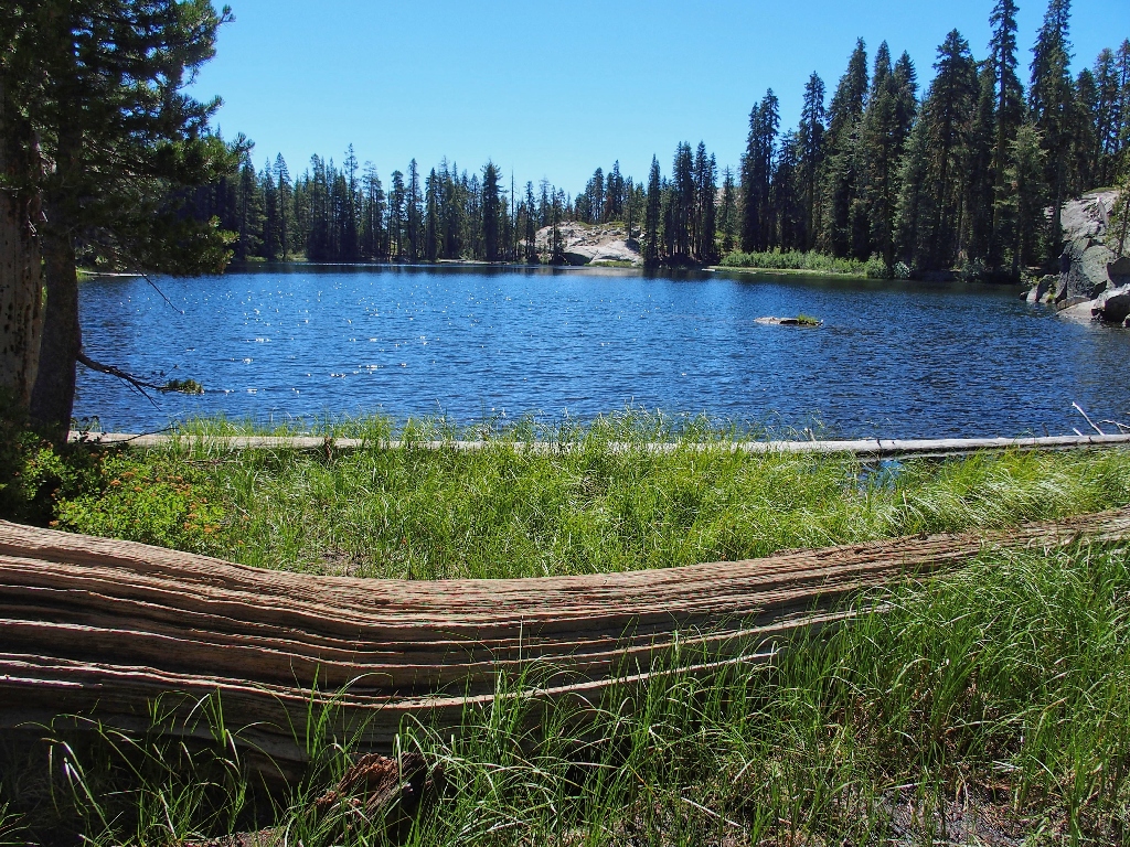
Azalea Lake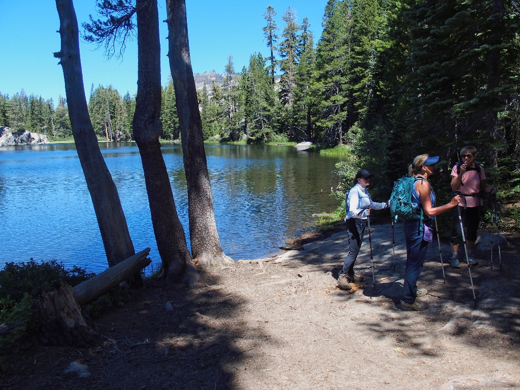
The Group of Seven returns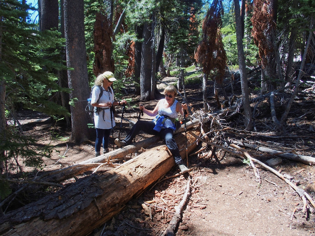
Many fallen logs need to be cleared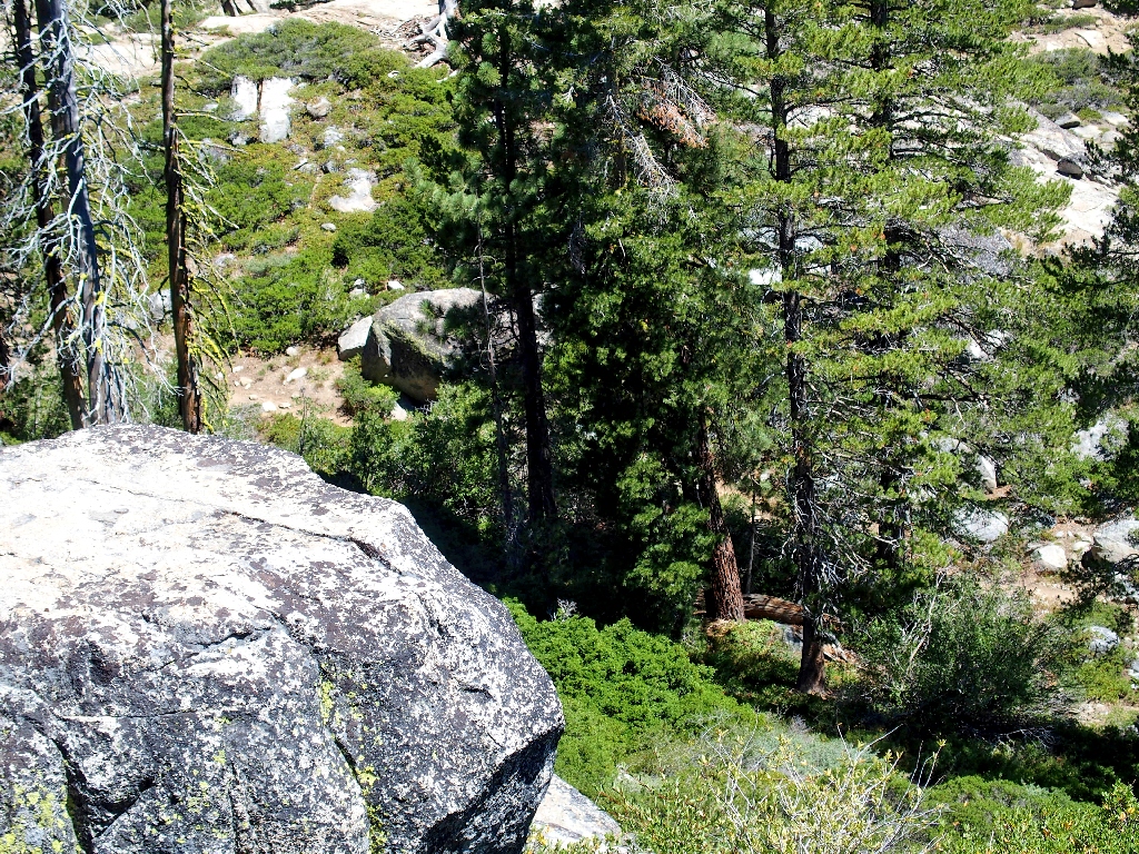
The PCT is in view directly below us!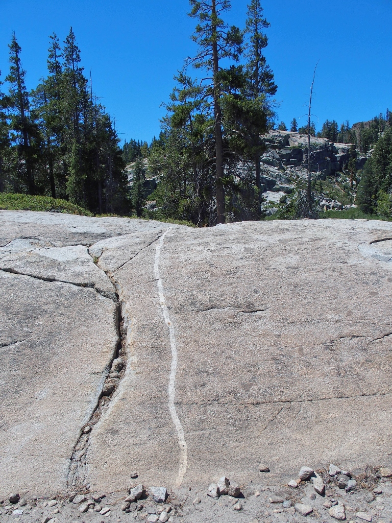
This dike points the way
Flora Lake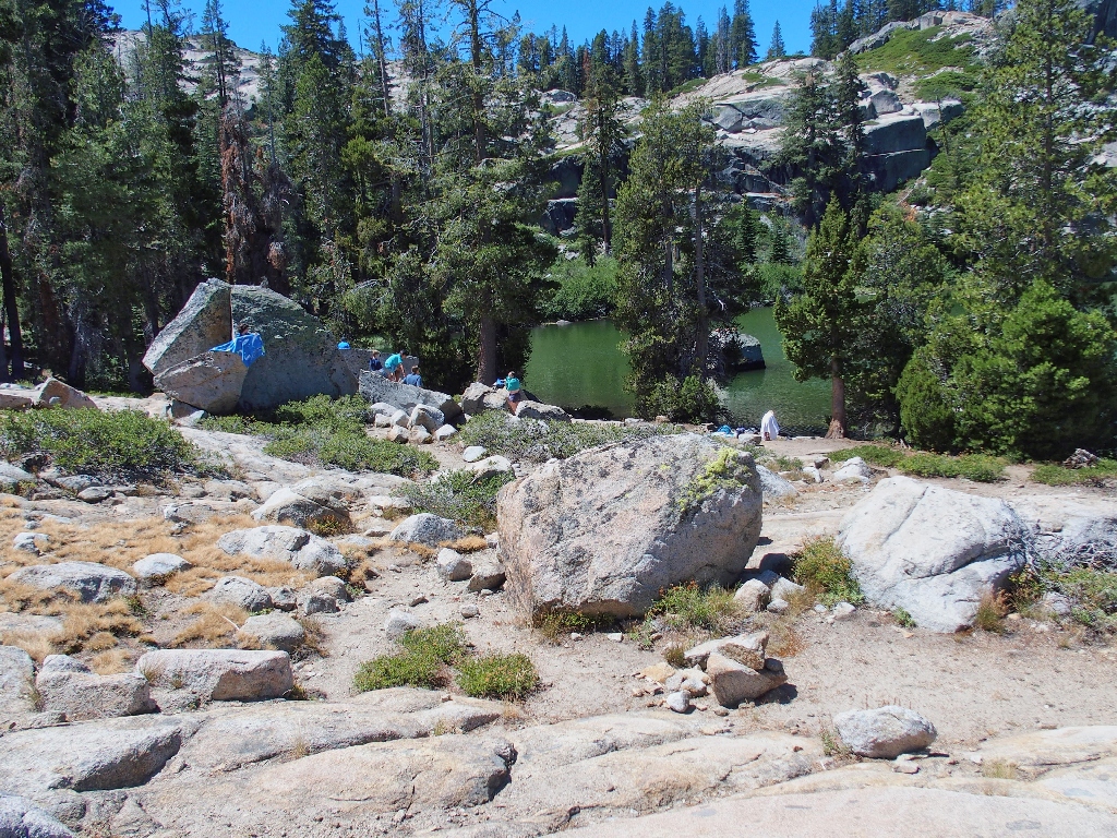
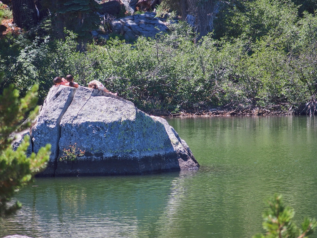
It's up-and-down going along the shoreline'hole' — and was never seen again!
I went back up there a couple of weeks later, but still couldn't find it.
Go figure.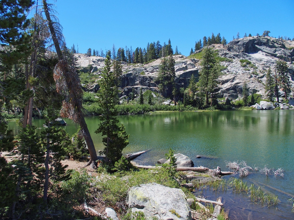
Eileen's walking stick still is up there somewherewell-trodden path. This proves to be a
mistake, compelling us to do some up-and-down scrambling in order to regain the
use trail over to the right, which is unfamiliar to me in here.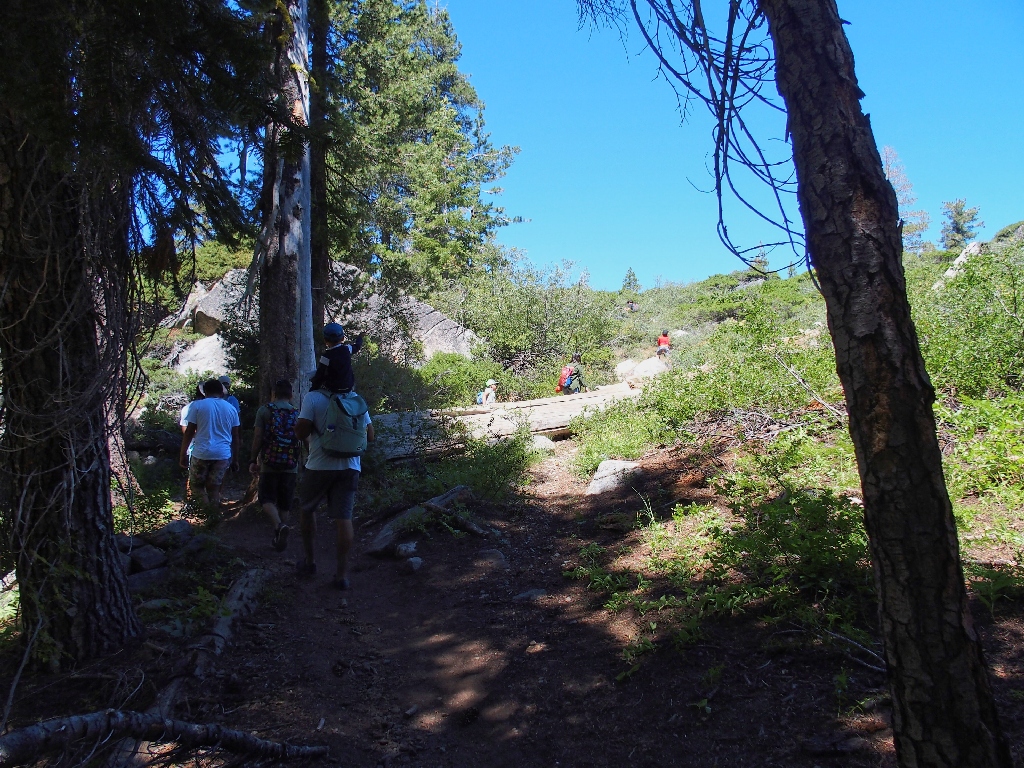
They all seem happy, and most are not outfitted like hikers at all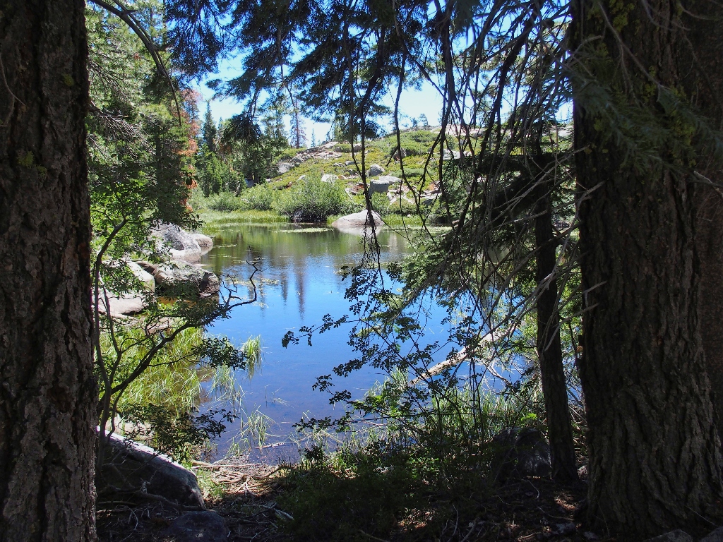
Random pond #3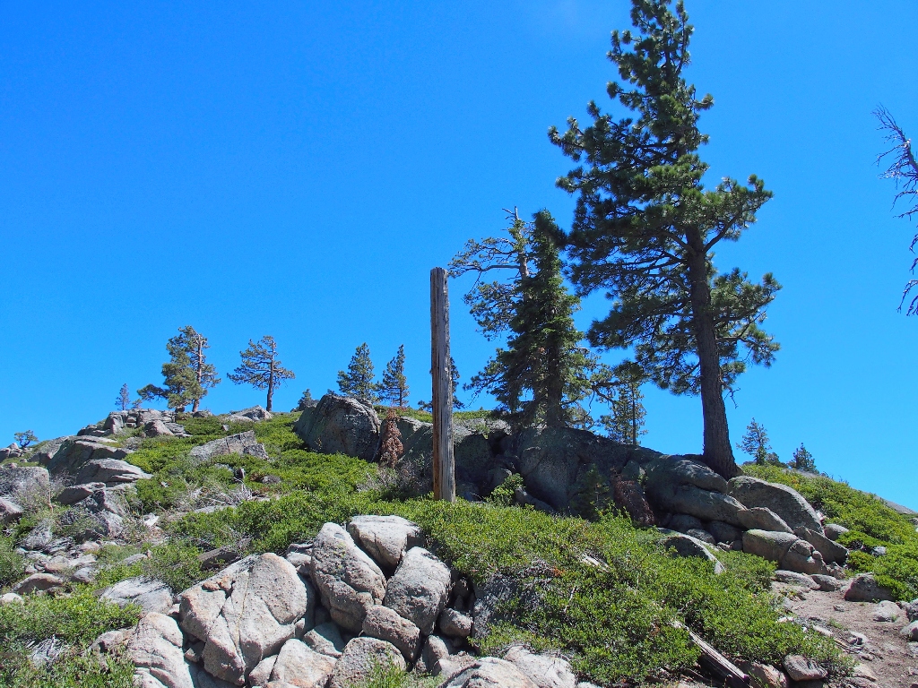
Why is it here?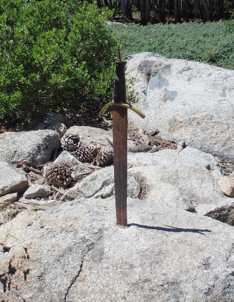
A sword in the stone! Holy Excalibur!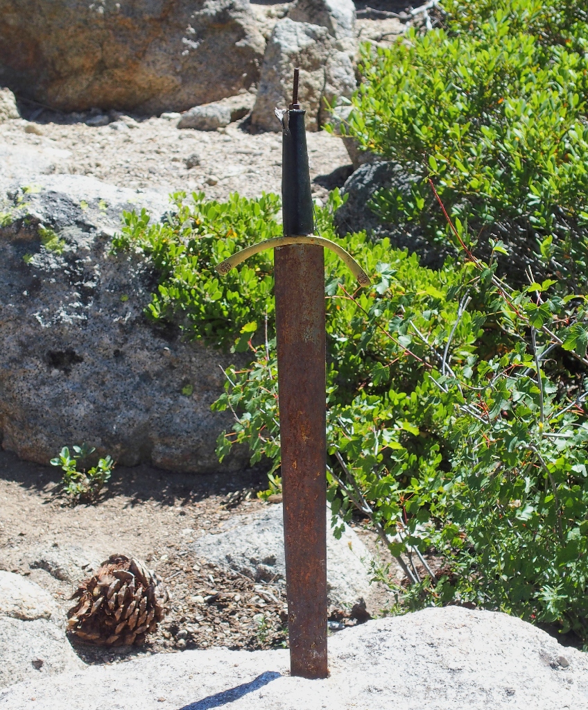
It's too bad that the top of the handle is missing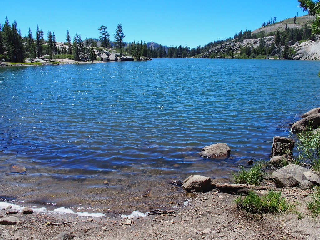
Lake Angela actually is a reservoir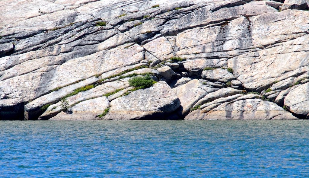
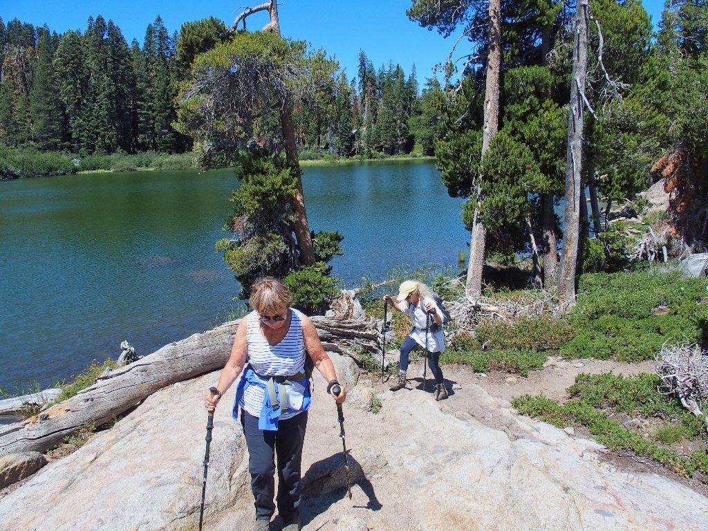
Finding our way back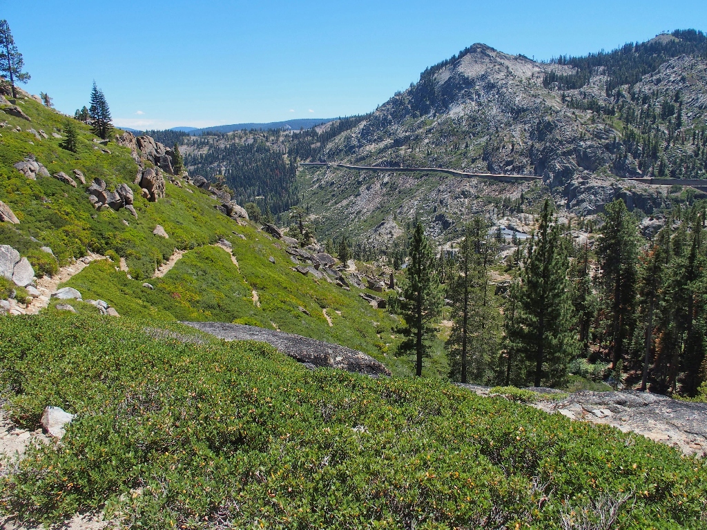
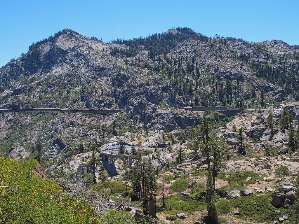
Rainbow Bridge and the snow sheds
Where we just came from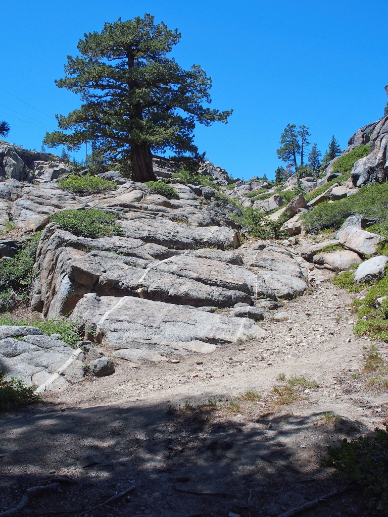
Another dike points the way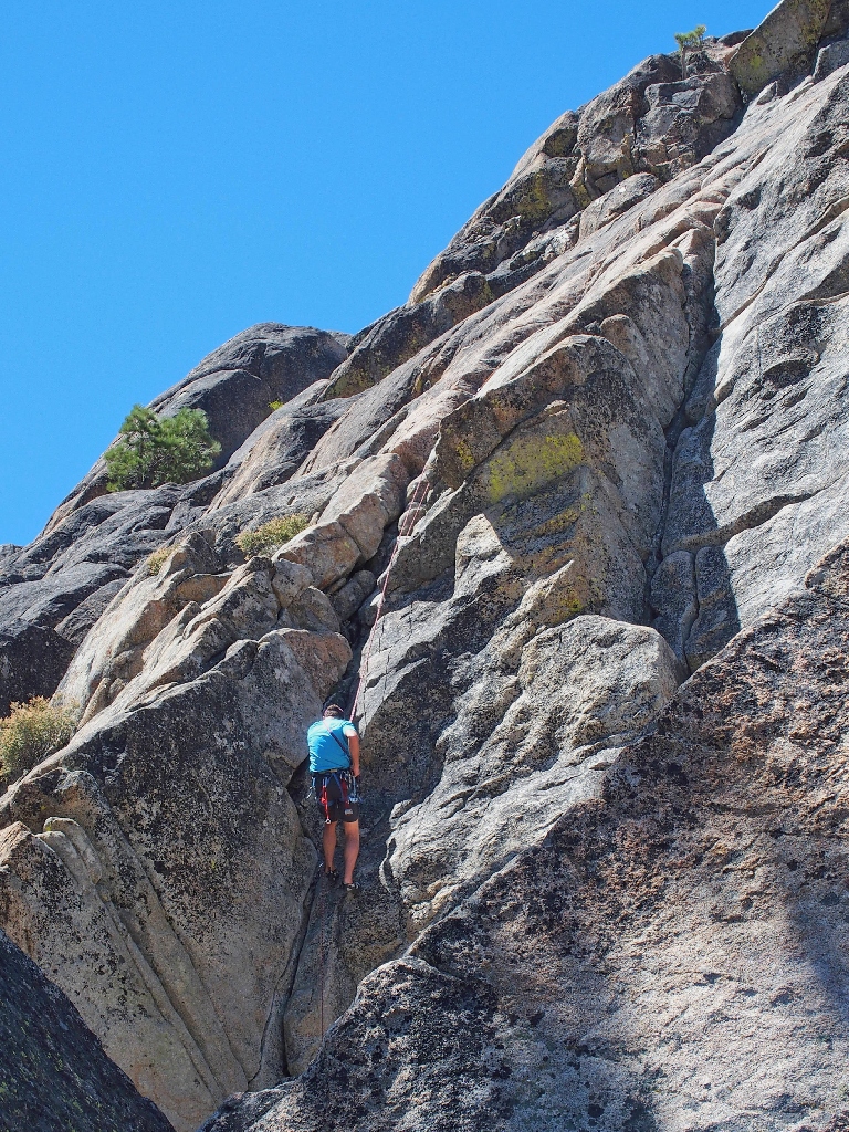
The only climber we would see in action today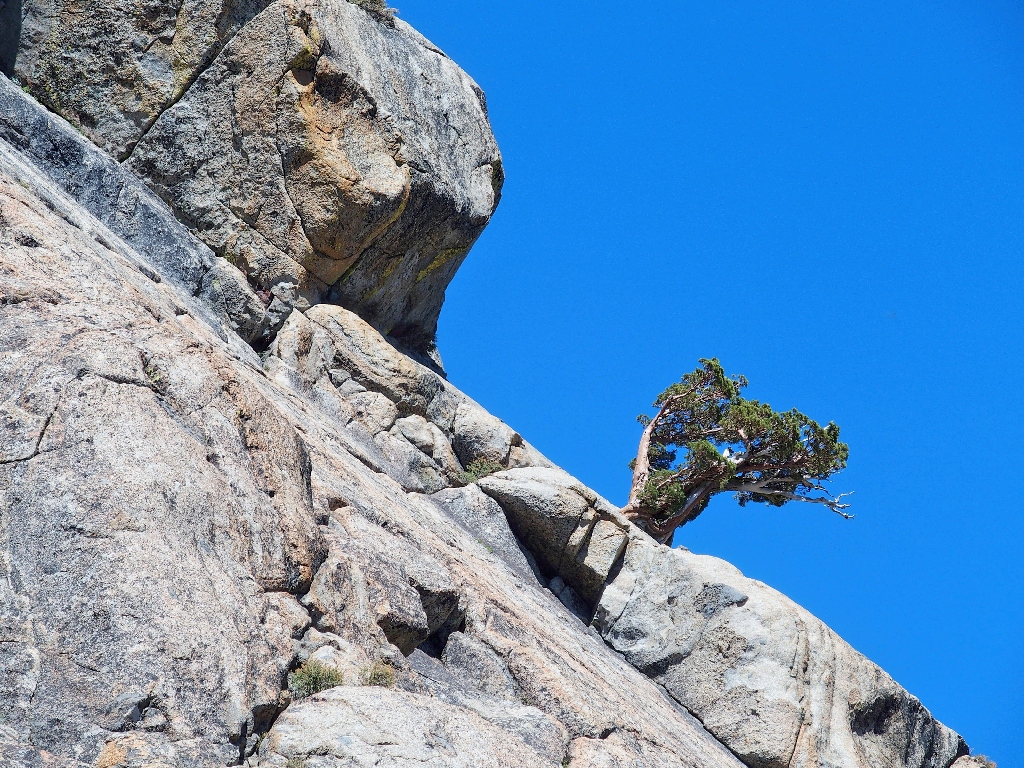
That tree is a survivor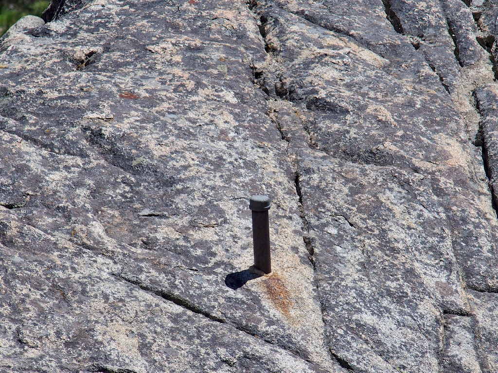
This post buried in the rock has no magical powers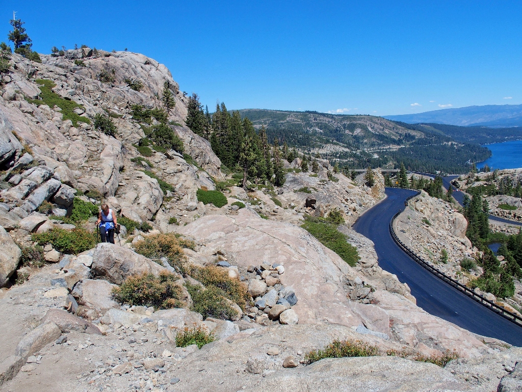
§: Well, one would think that I would know my way around this area by
now. Actually, I'm a bit distressed that I didn't happen upon 'Excalibur' some
time ago, because subsequent research shows that it existed up to five years ago.
Scenery 
Difficulty Personality 
Adventure 
Flowers 

Angela —
a witch, herbalist, and quite possibly a half-elf or even a werecat.
That explains the sword's proximity to Lake Angela.10th-worst film of the year,
yet did well in this country because American audiences in general don't seem to care
how bad movies are.