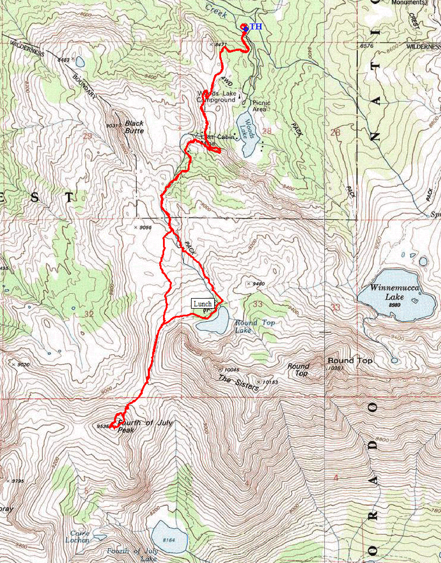
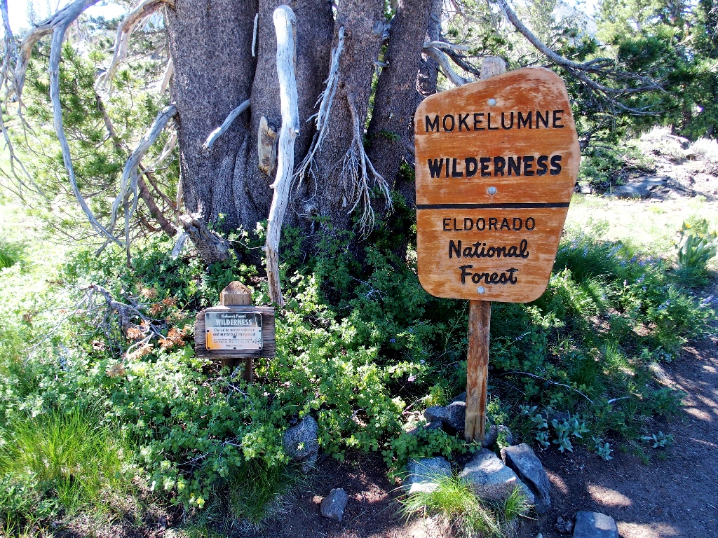
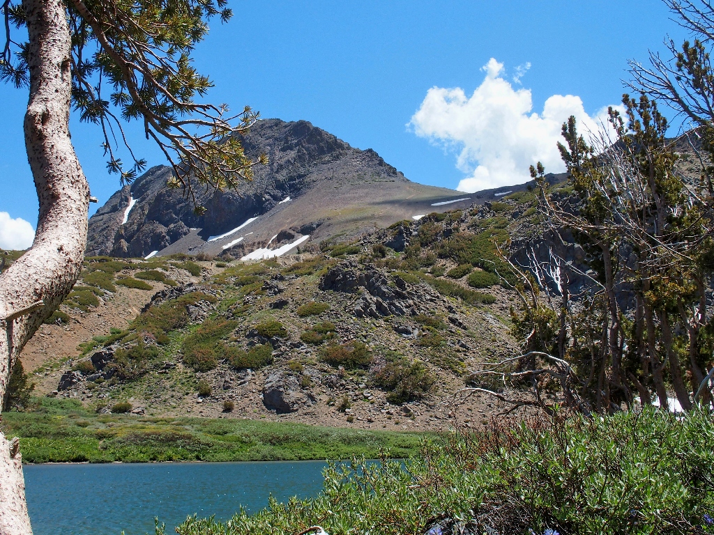
Mokelumne Wilderness
|
Fourth of July Peak Mokelumne Wilderness |
July 17, 2022
Today's plan is to knock an item off my bucket list, while including some
off-trail adventure in the process. Air temperatures will reach the high
seventies today, which is right at the top of the comfort level; but there is nowhere
else to hike in the northern Sierra that is much cooler. The entire route will
be above 8,000 feet.
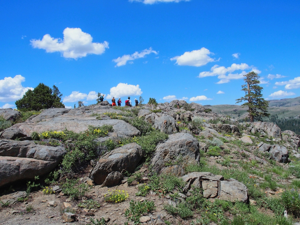
I arrive at the trailhead just in time to secure a parking spot, because a large group is assembling.
The plan is to take in both lakes in a grand loop
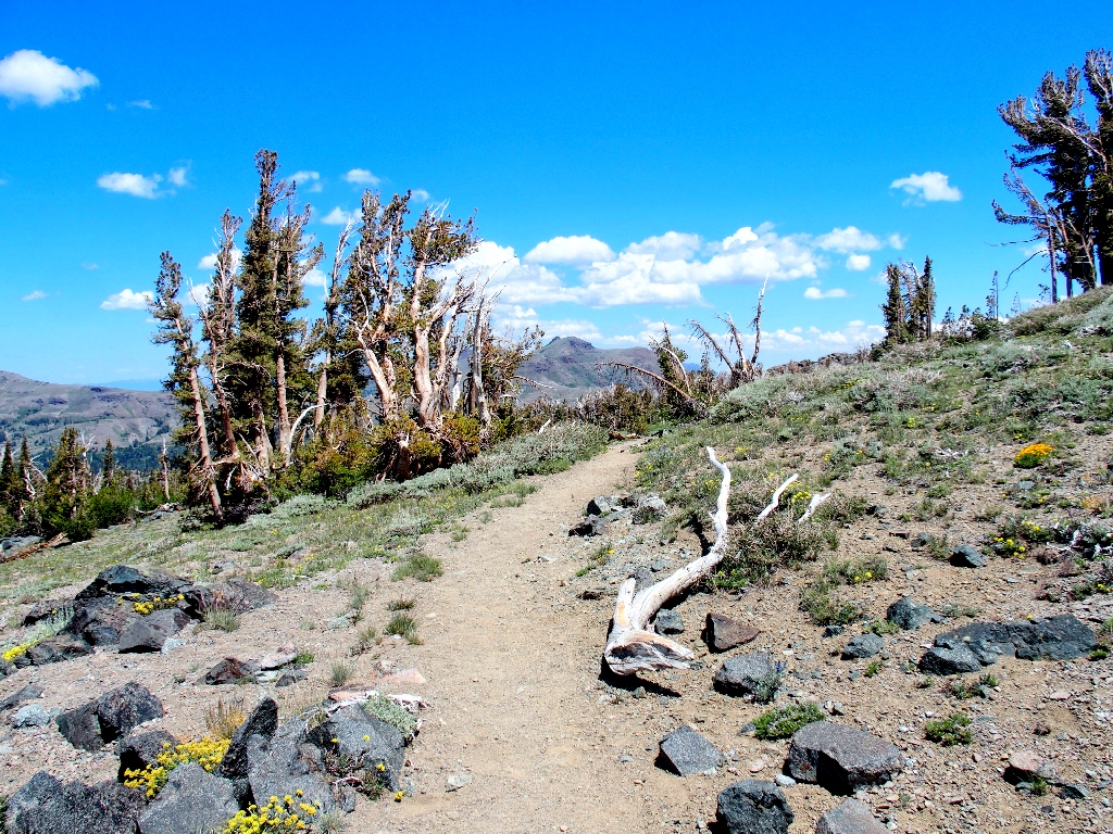
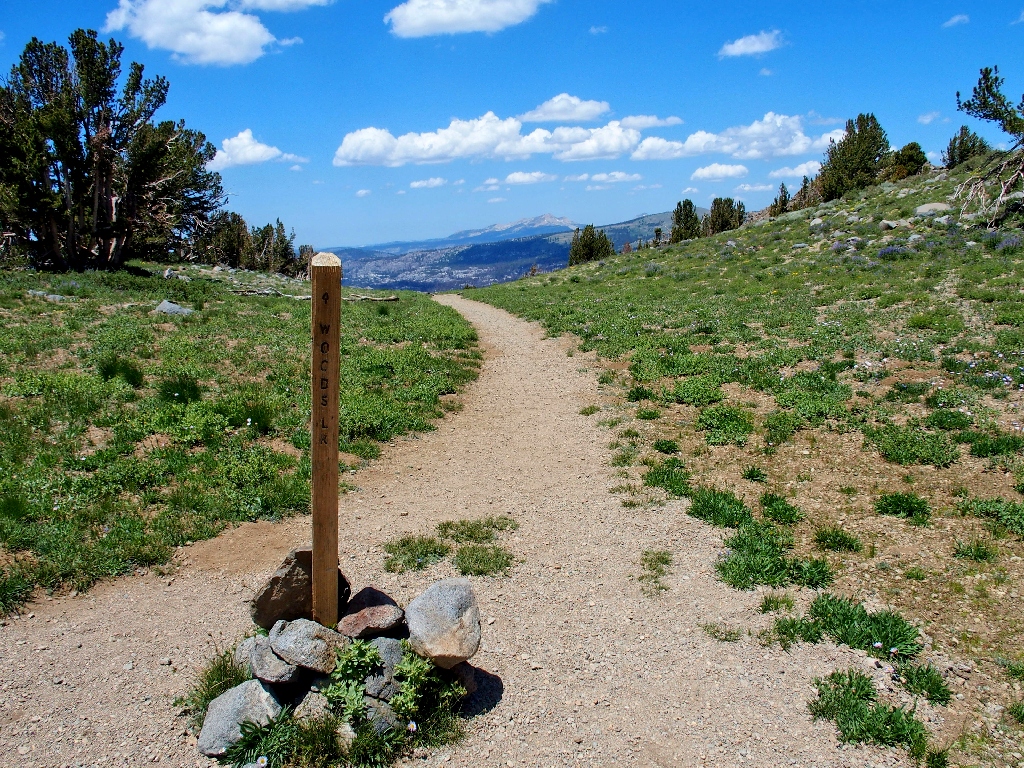
The first half-mile is a mundane spur route over to the Woods Lake Campground. Twenty years ago, one could park close to the lake itself.
Red Lake Peak to the north
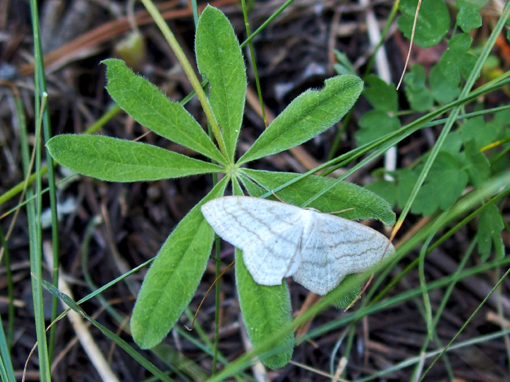
Sub-angled Wave Moth
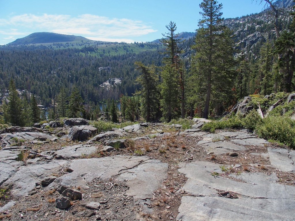
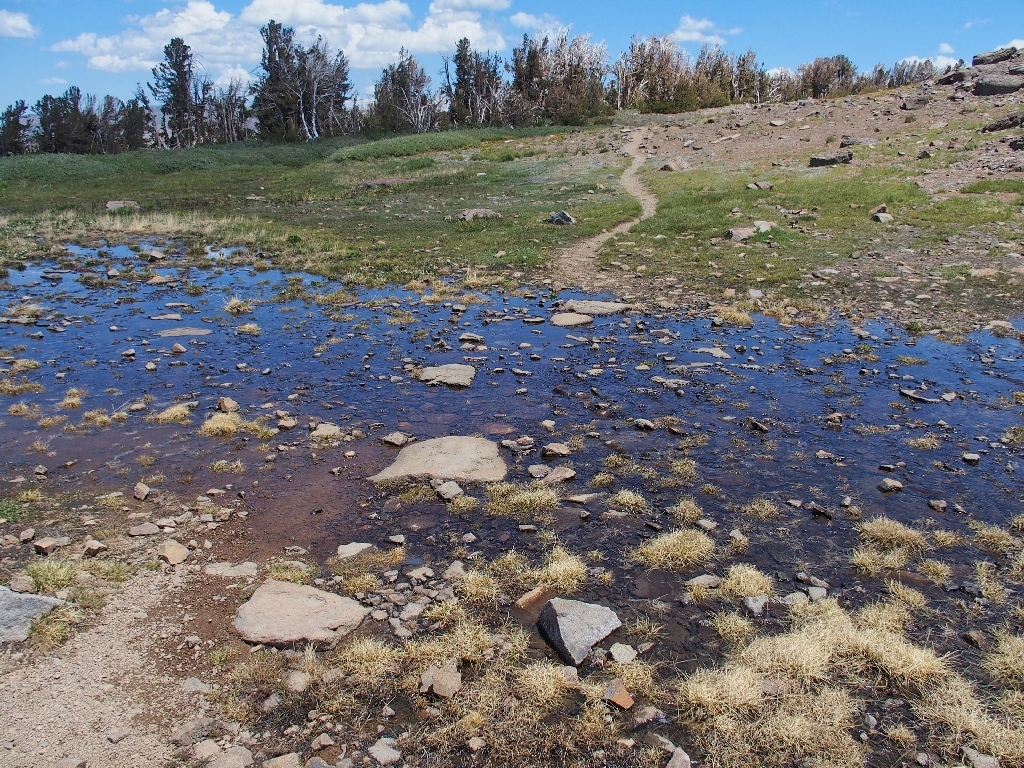
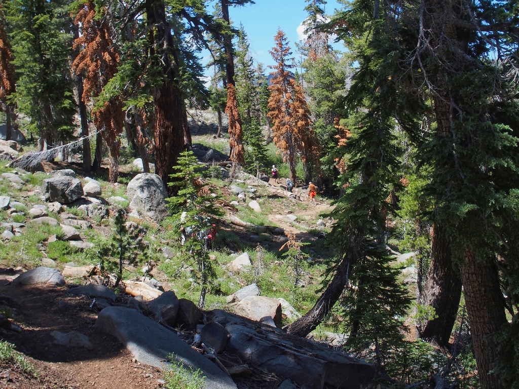
The view of Woods Lake is quite poor
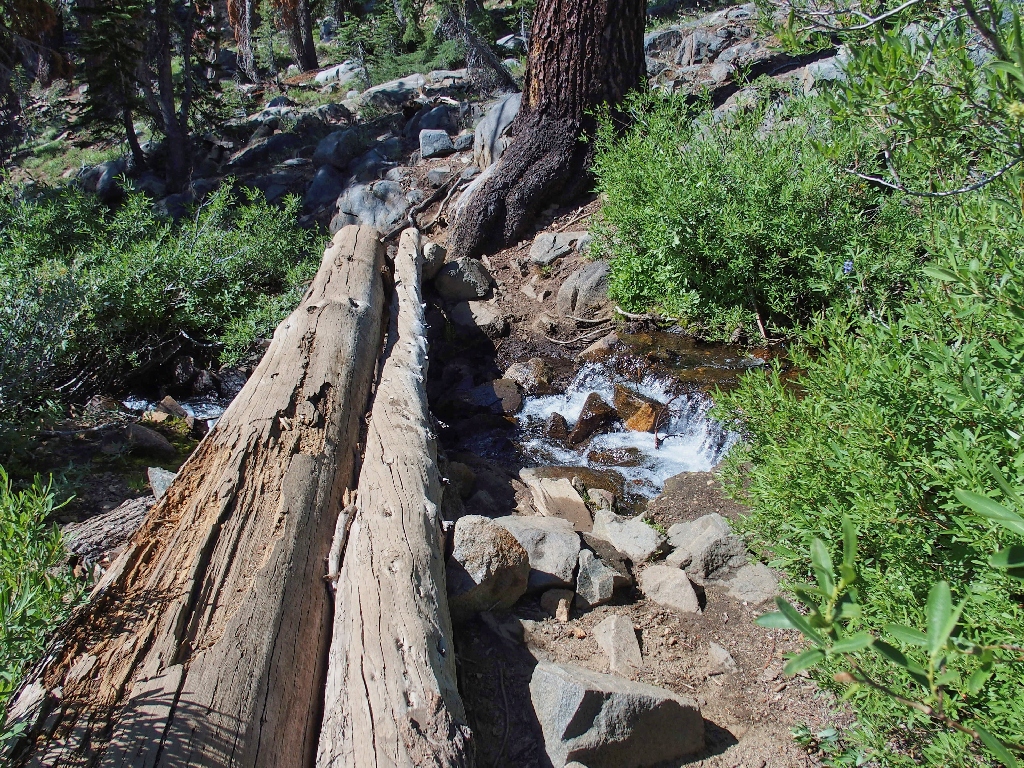
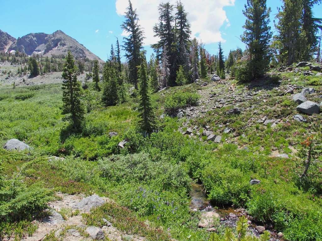
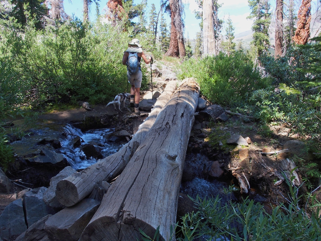
A fun crossing of an unnamed creek
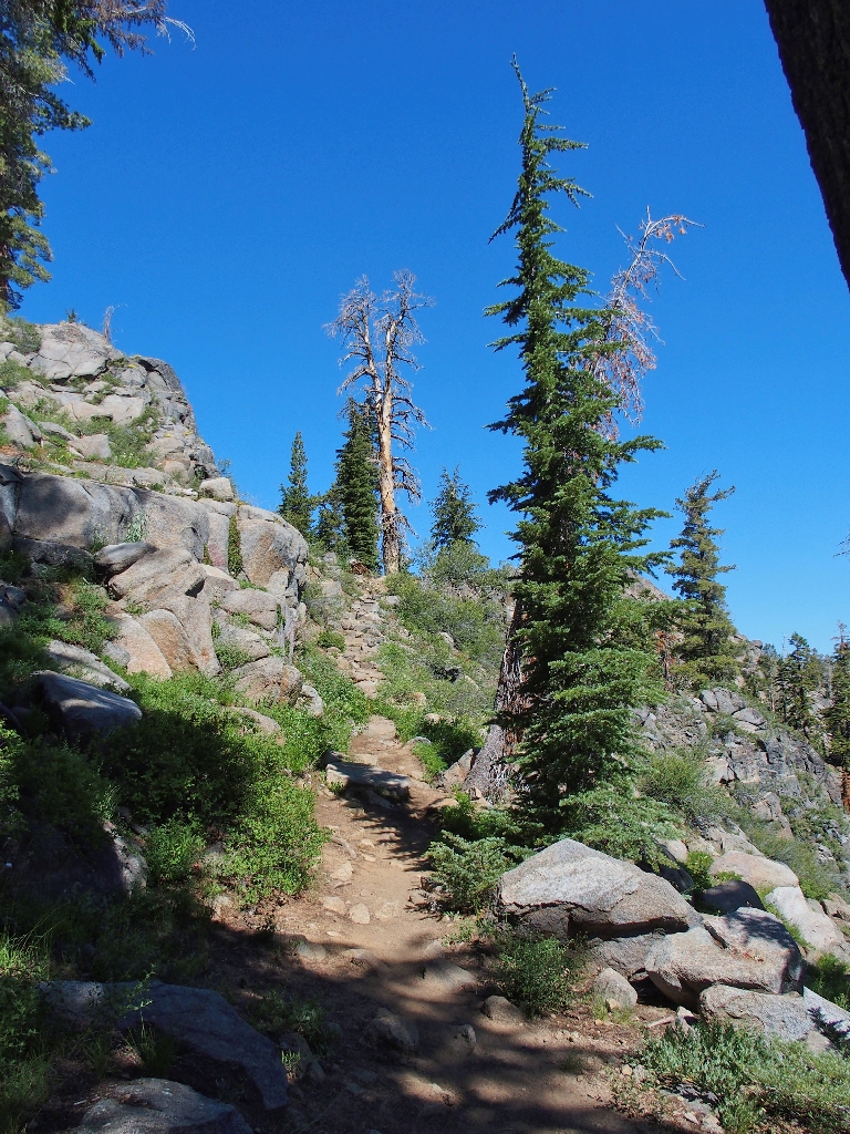
Steep going in places
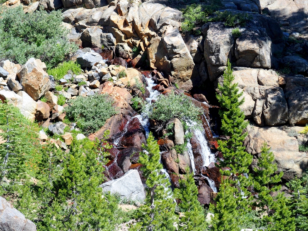
A nice waterfall on that unnamed creek
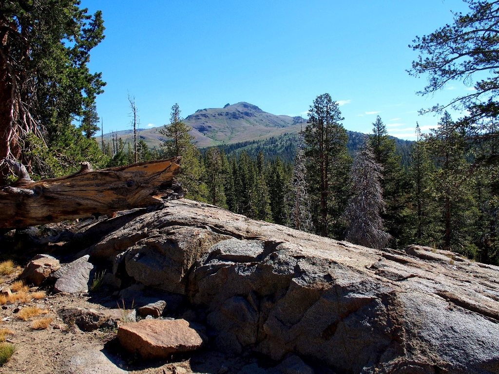
Hawkins Peak is nine miles to the east
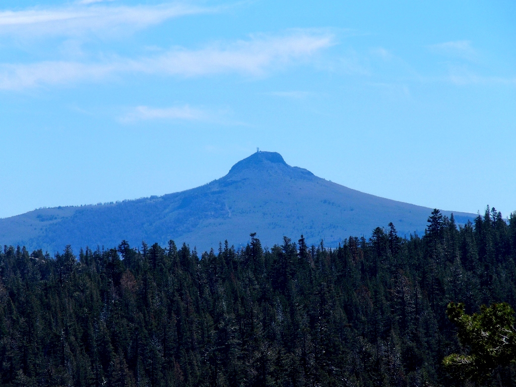
The non-photogenic side of Black Butte
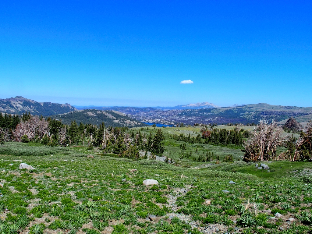
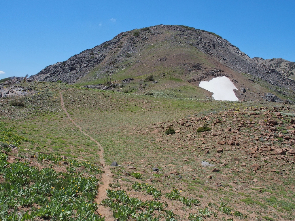
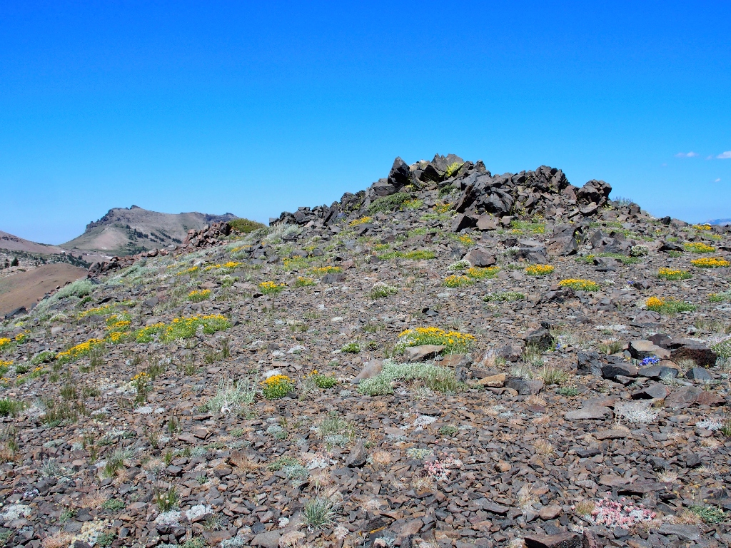
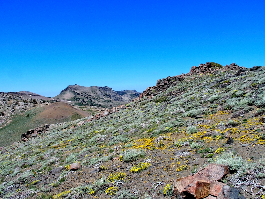
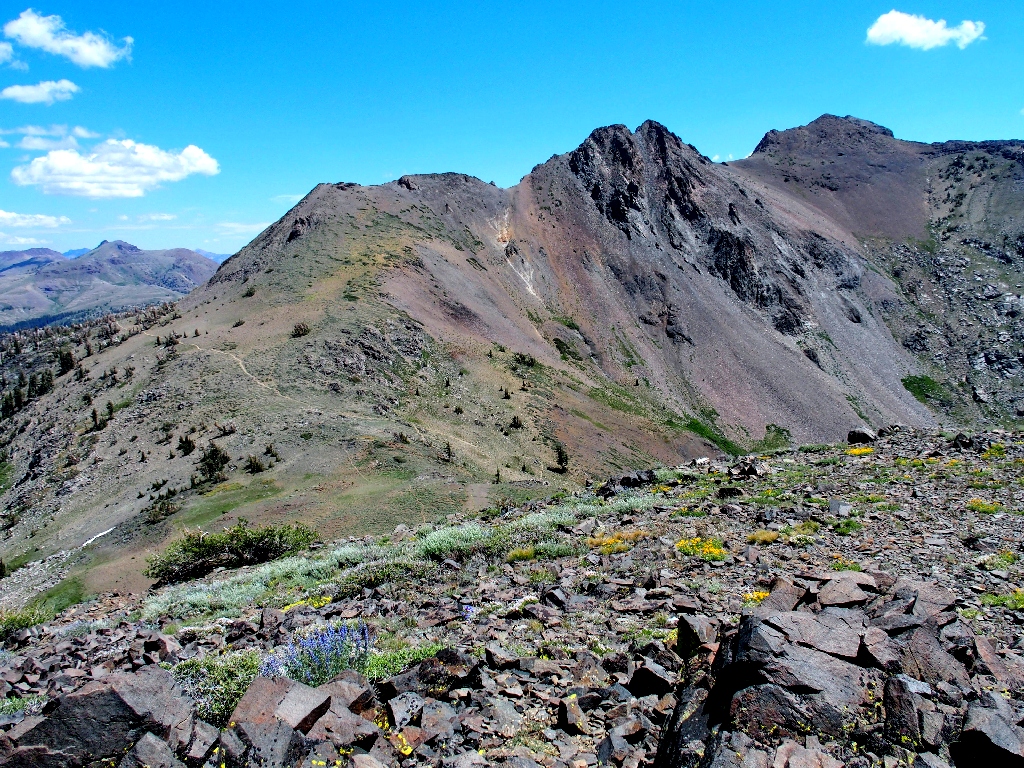
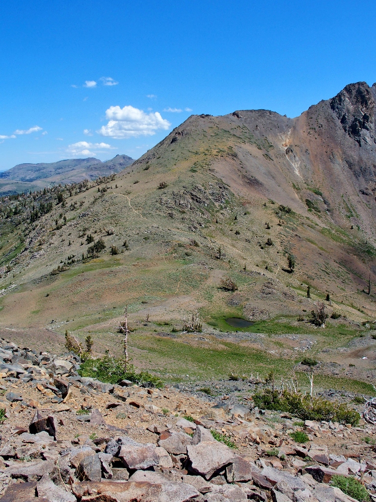
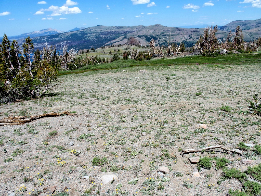
First view of The Sisters
It is time to begin a cross-country venture that will save some mileage.
Leaving the trail
Heading for the right-hand side of those peaks
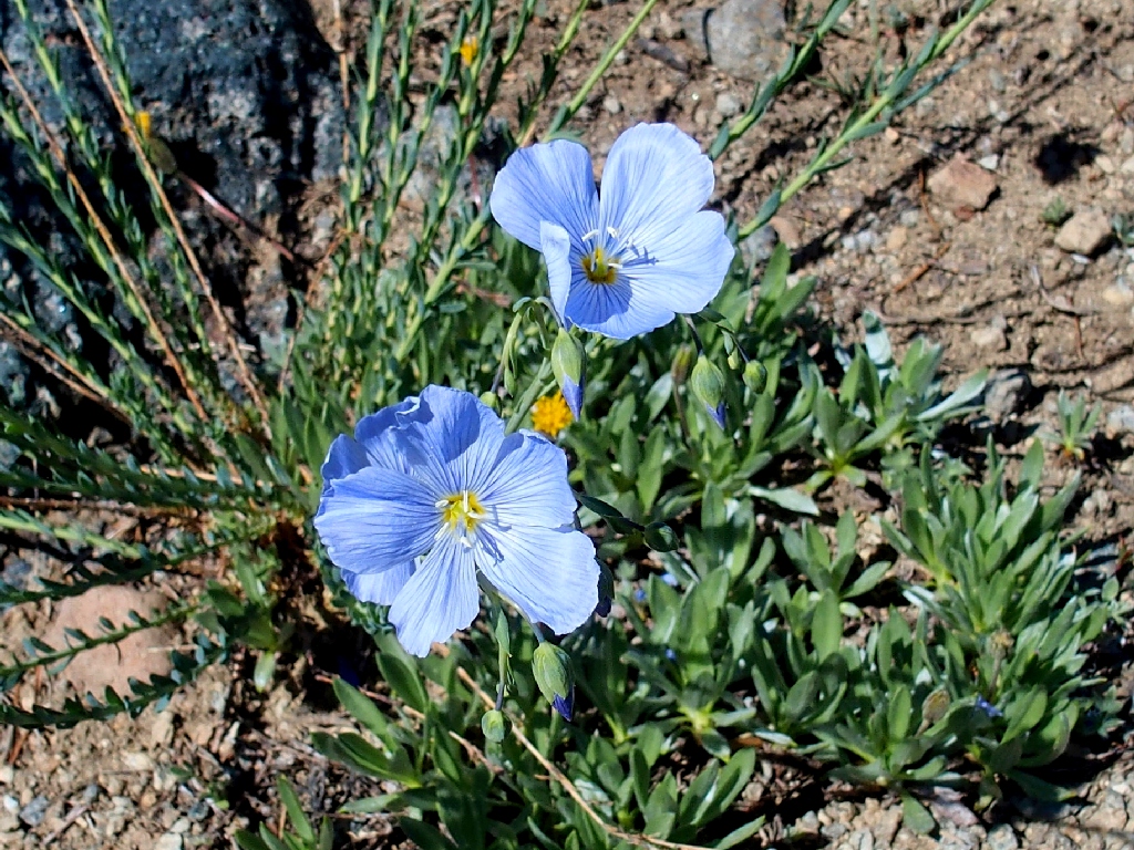
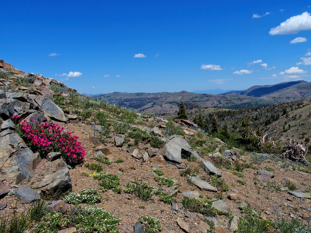
Blue Flax
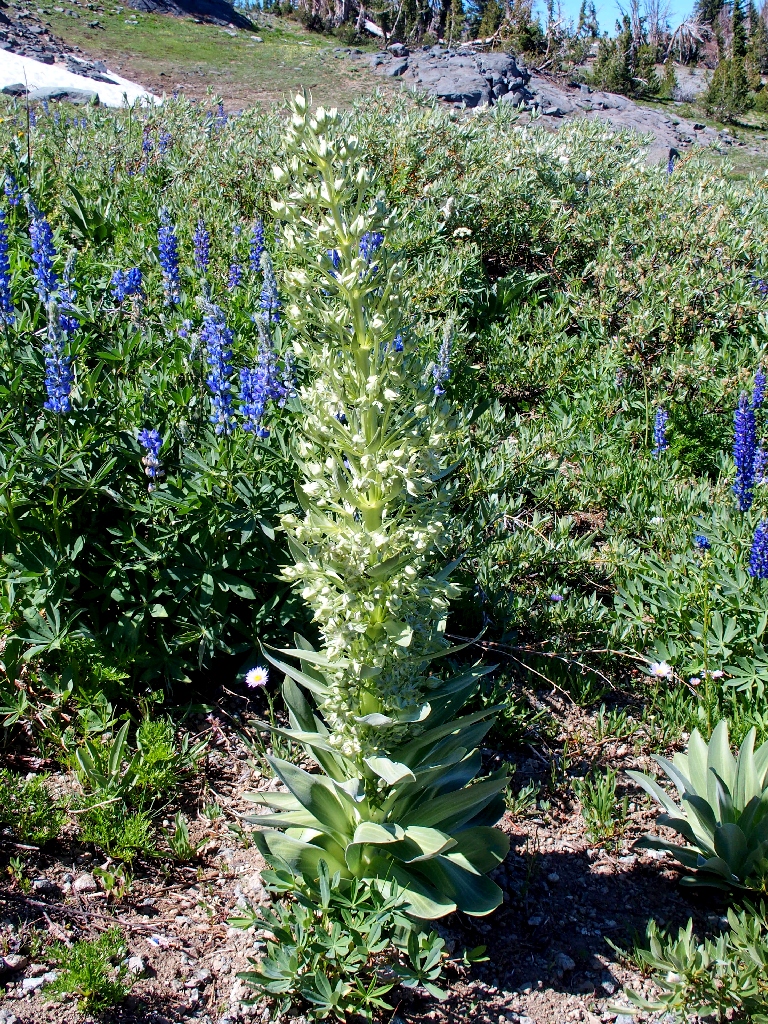
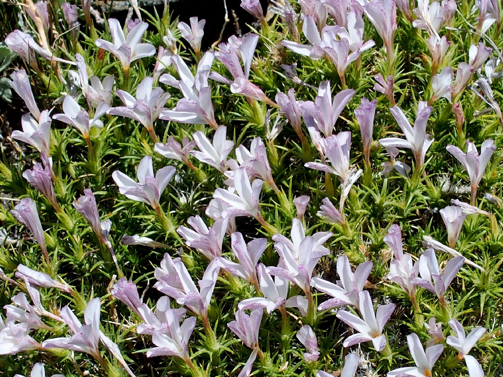
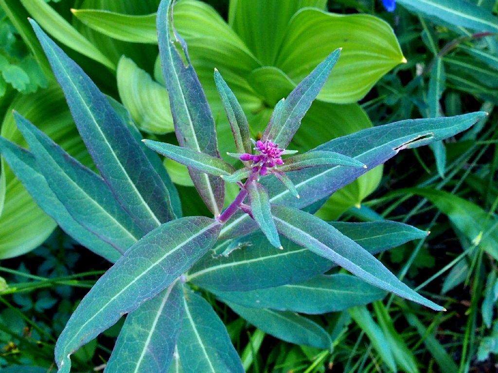
Monument Plant
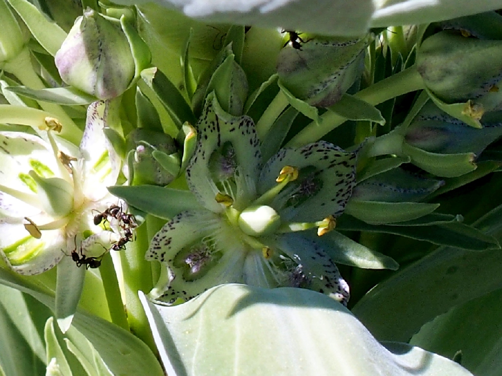
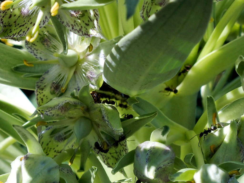
The locals are hard at work
Nearing the top of the moraine
That was much more fun than remaining on the trail
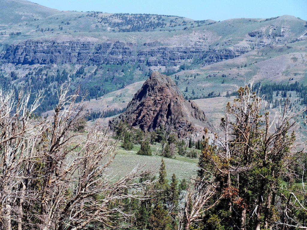
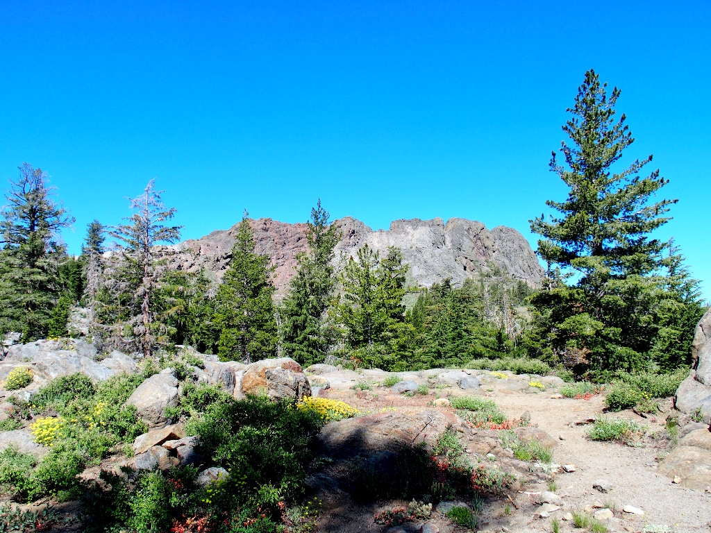
Black Butte is more attractive in this end-on view
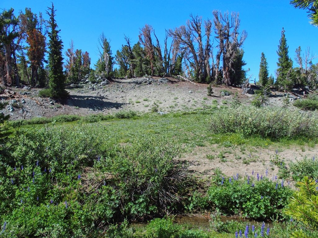
The shortcut ends after less than a mile, having done its job.
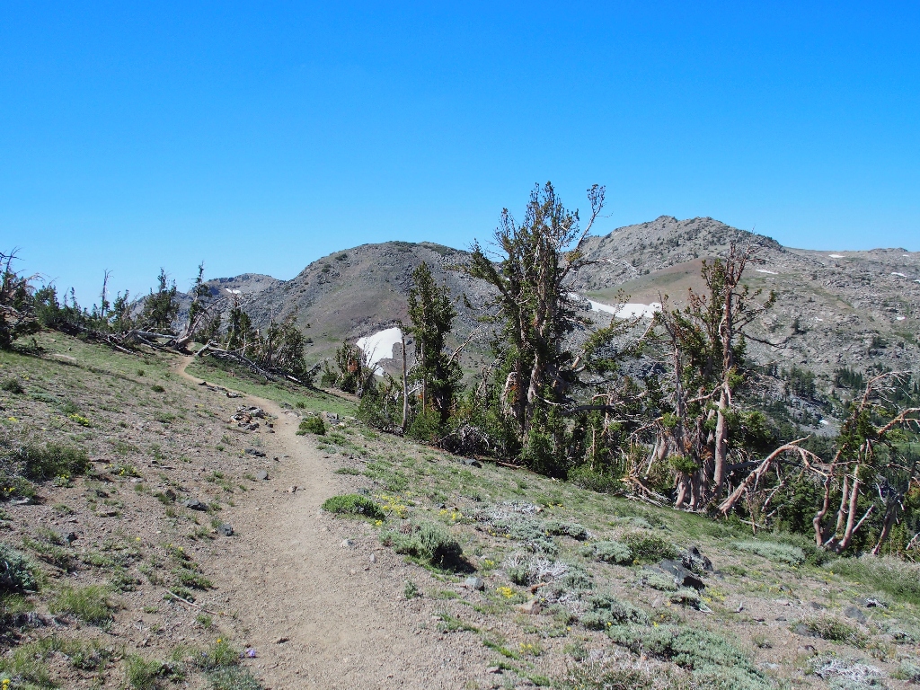
Onto the Camp Irene Trail
Camp Irene is an obscure historic site well to the south, on the North Fork of the Mokelumne River.
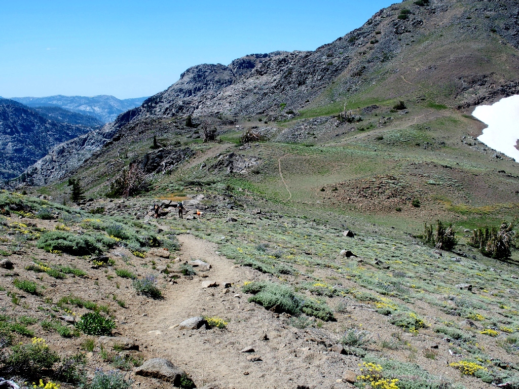
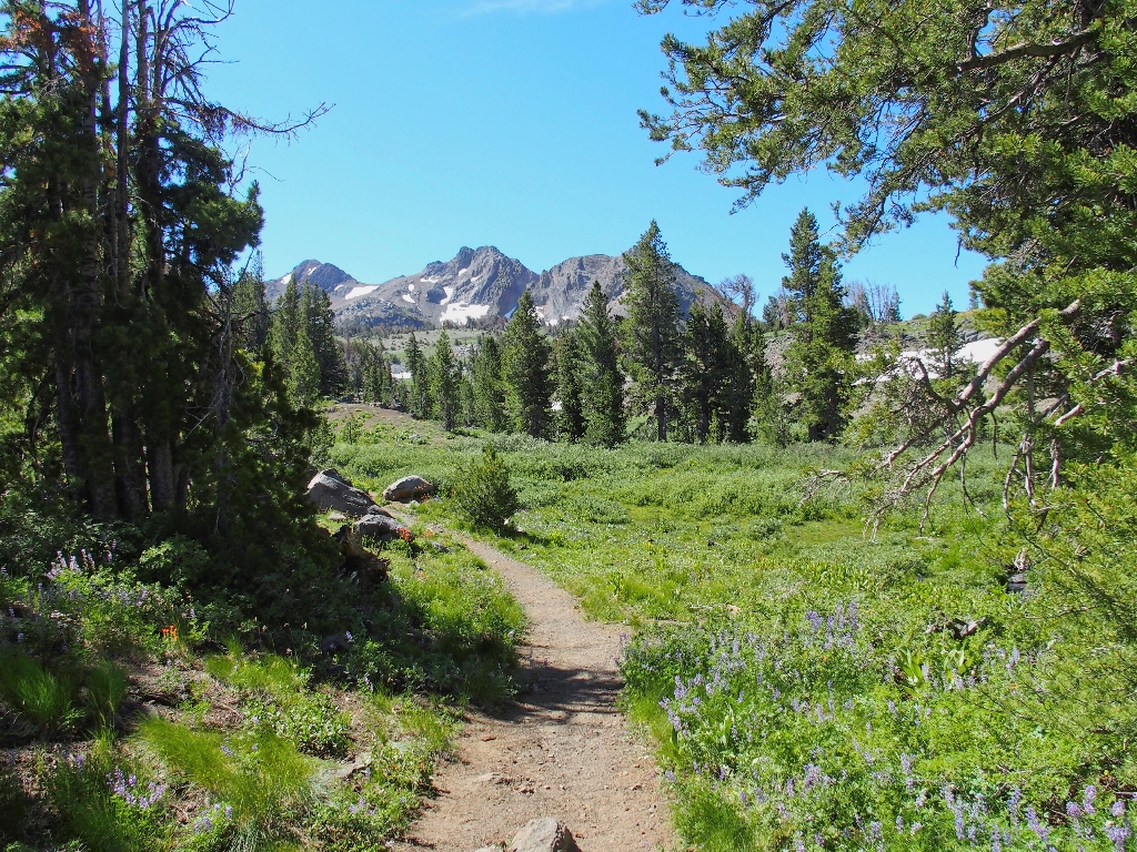
Around the first turn, the trail starts immediately downward toward Fourth of
July Lake
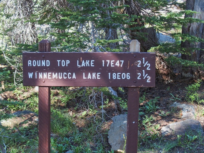
Seeing some folk chatting just ahead, I head for the group. They are at a trail junction that just happens to be the crux of today's mission.
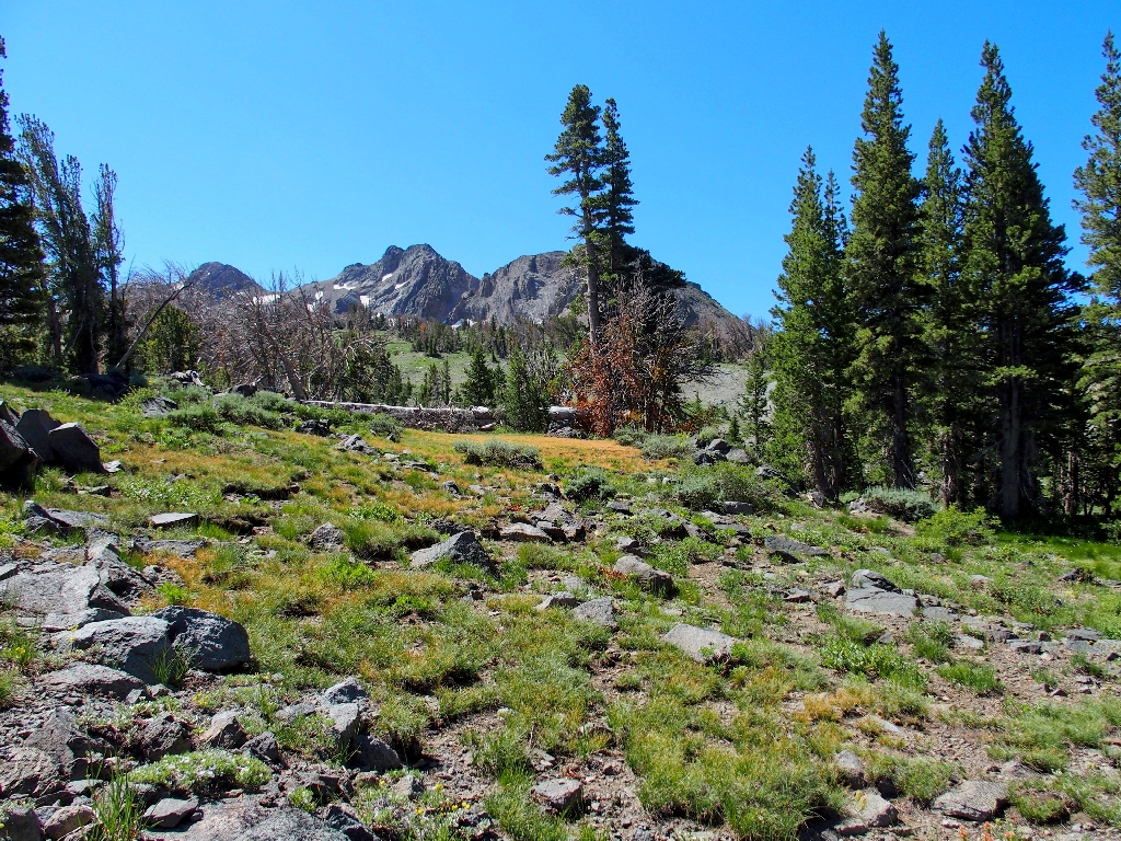
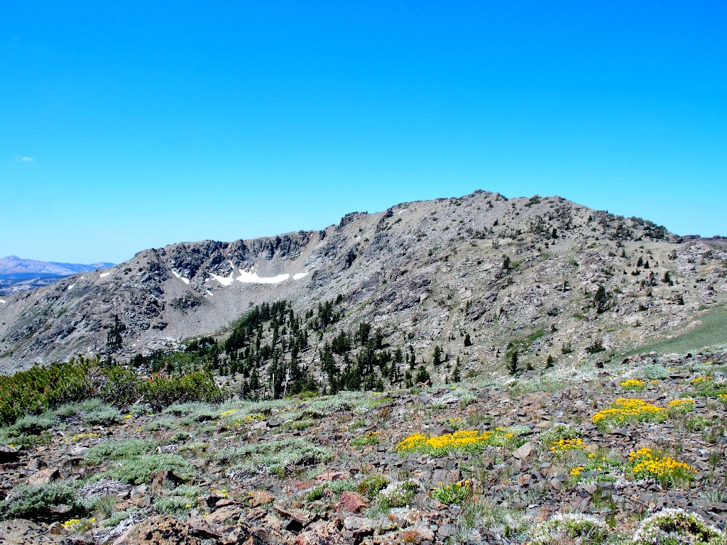
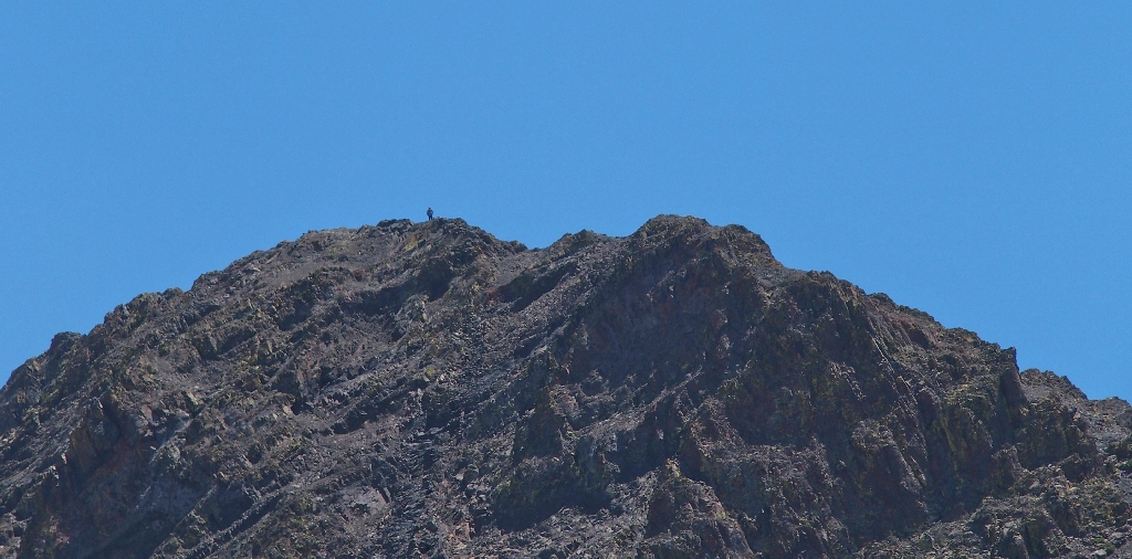
Fourth of July Peak looms above
Well, there it is — my principal objective. It will be a 400-foot
climb up what looks like a pretty hairy scramble near the top. Already I am
somewhat weary (still recovering from a minor skirmish with Covid-19), but I
didn't come here to wimp out. Besides, if I don't do this today, it still will be
on my bucket list tomorrow.
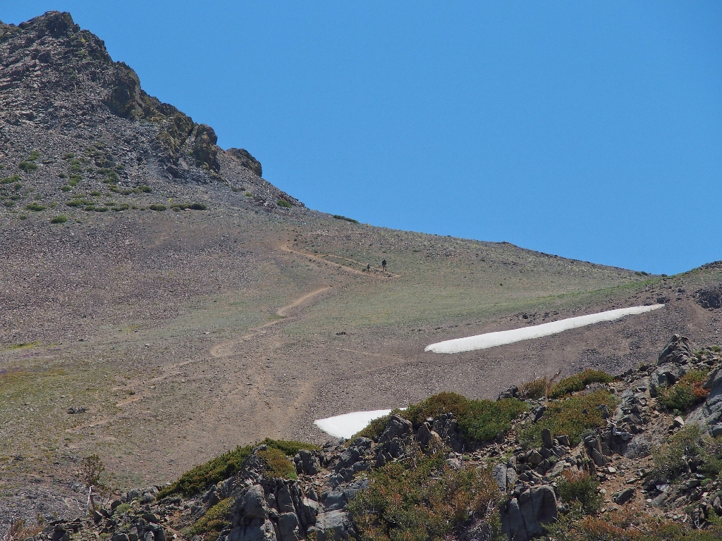
Starting up the summit trail
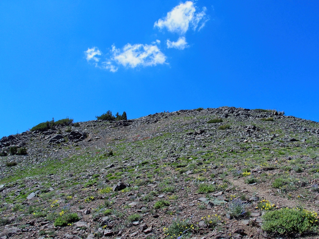
A pair of women on the top..
They pass by as I am stopped to rest
Wow! The woman's hair is pure white; that probably is her daughter with
her. Well, if she can do it, so can I. As feared, the final scramble
is quite steep and loaded with loose sand and scree. It will not be fun coming off
this mountain.
The summit of Fourth of July Peak
Across the way to the west is a hill of which I have some 'fond' memories.
After scaling Melissa Coray Peak, which is behind that ridge
(Hike #315), I proceeded
to descend from just left of the high-point instead of making my way down the lesser
ridge-top gradient to the right. That was not my best choice.
I'll do it right next time
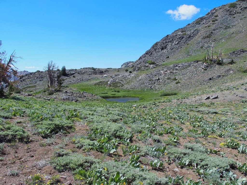
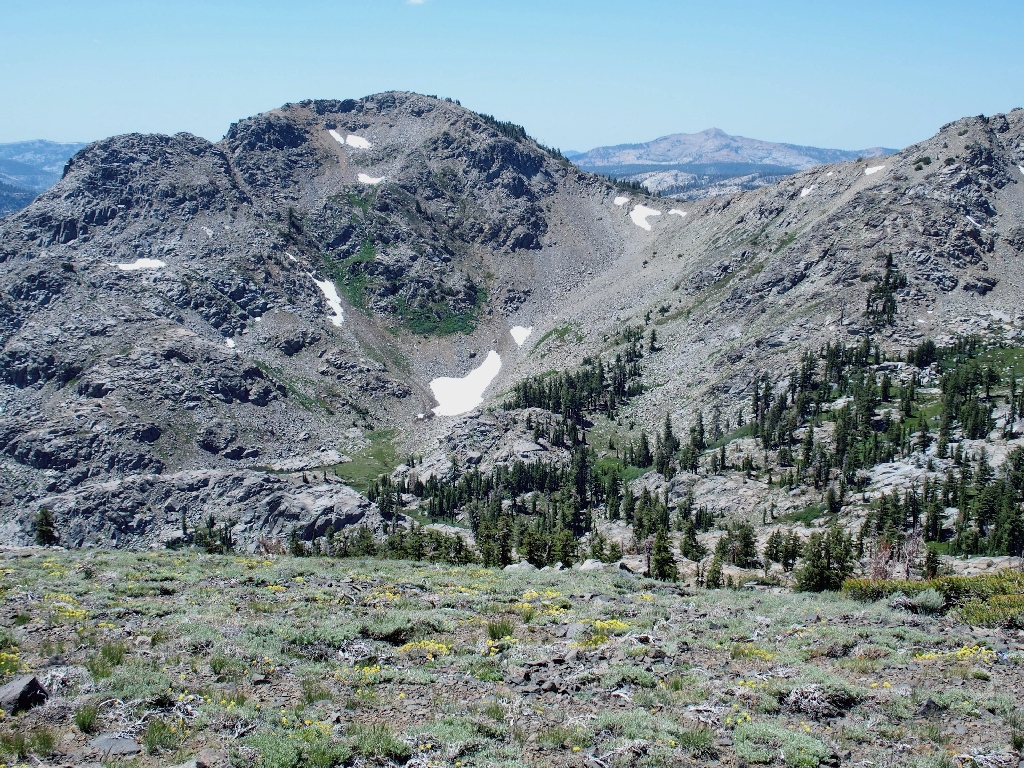
About a mile to the south is another feature discovered on the other hike —
a diminutive lake that never is seen from any trail except this one. Originally
I had thought to continue over there; but the prospect of yet another 800 feet of
subsequent climbing in this heat quickly dispels that notion. I still have more
than half of my tour ahead of me.
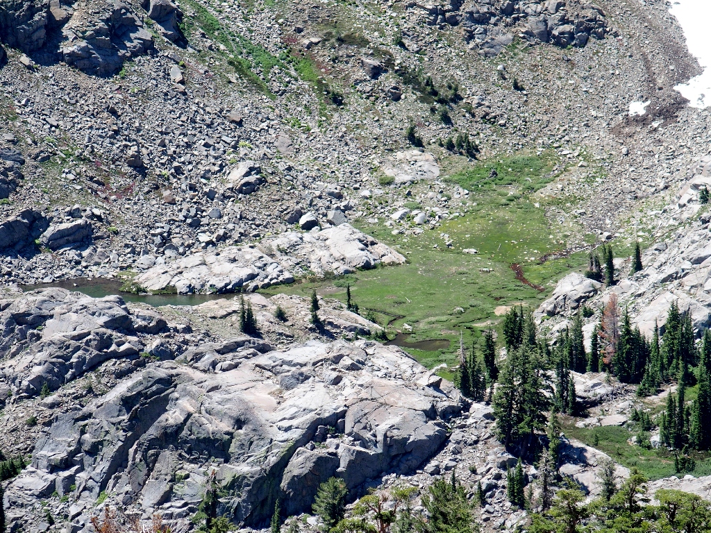
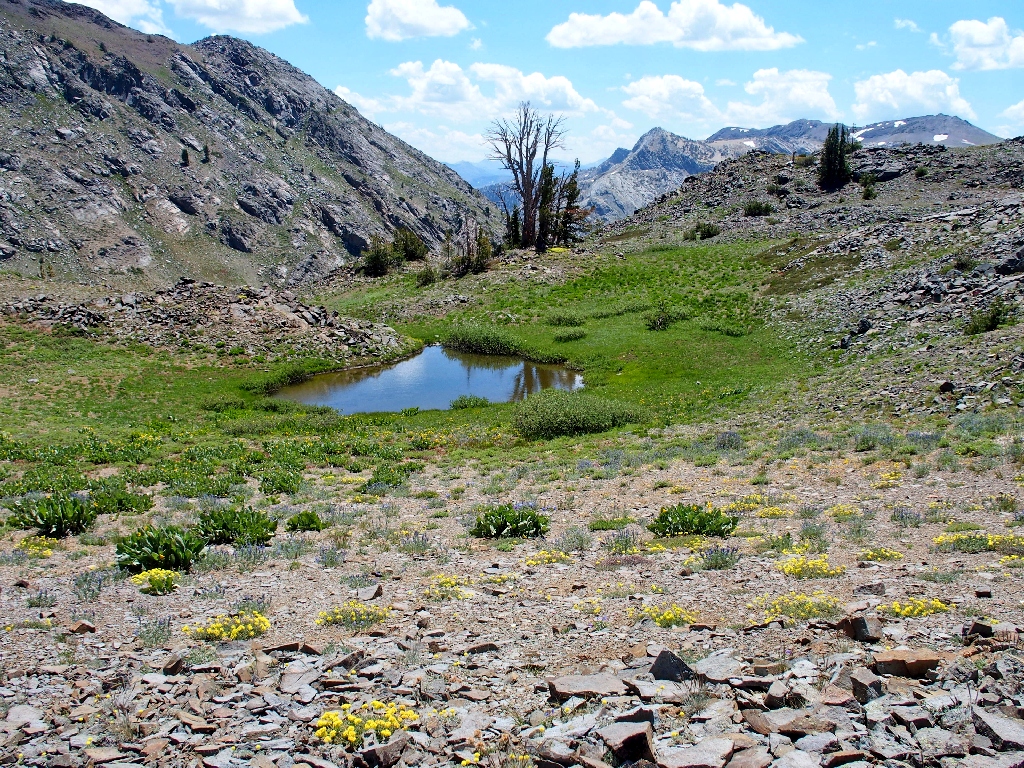
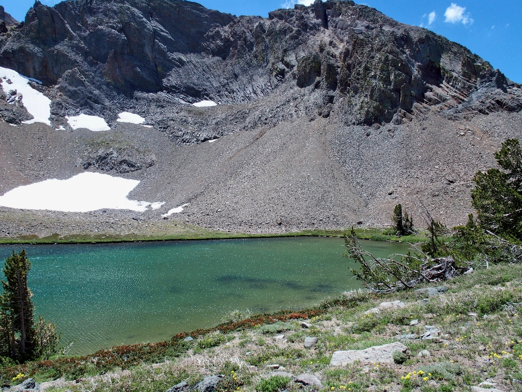
Corrie Lochan is looking rather dilapidated in this period of low water
"Lochan" is the Scottish equivalent of "smaller than a loch".
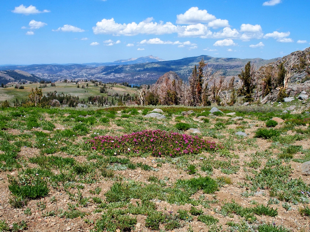
No summit register is in evidence, but there are lots of flowers
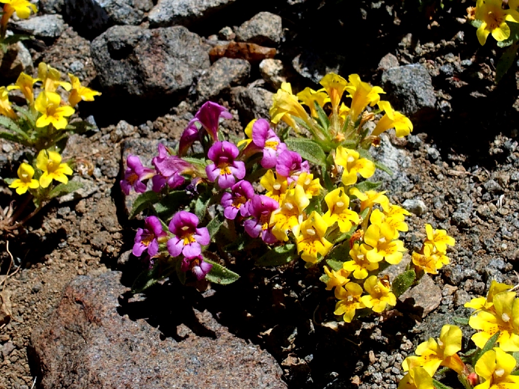
Skunky & Primrose Monkeyflowers
Prickly Phlox
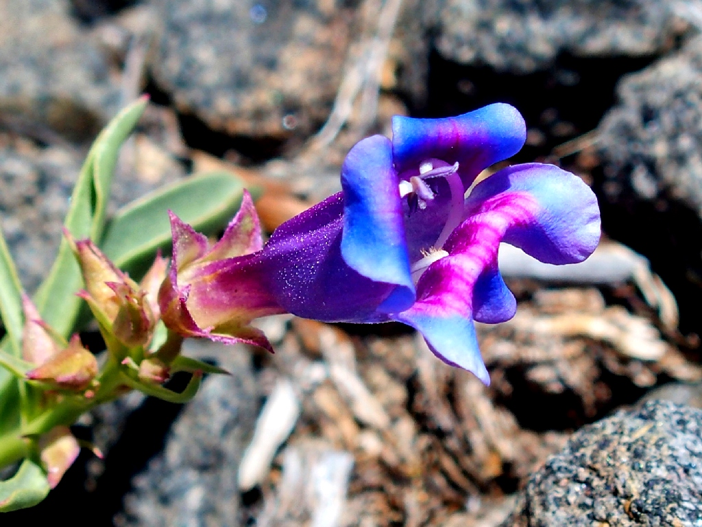
The Royal Penstemon are exquisite, as always
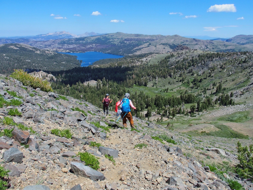
I am not looking forward to the first couple hundred feet of descent, which are rife with 'treacherosity'.
Starting down, past some Mountain Pride
In fact, I find it less harrowing to slide down on the seat of my pants in several places. My balance just isn't what it used to be, and the loose gravel just isn't any fun.
The Camp Irene Trail is so near, yet so far
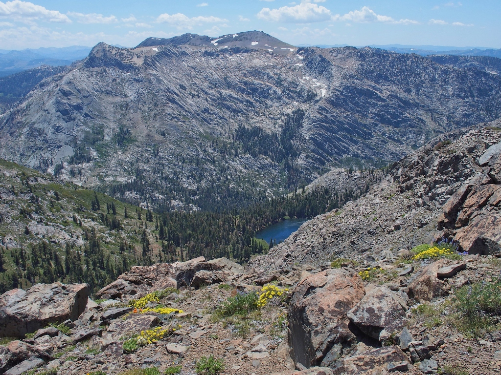
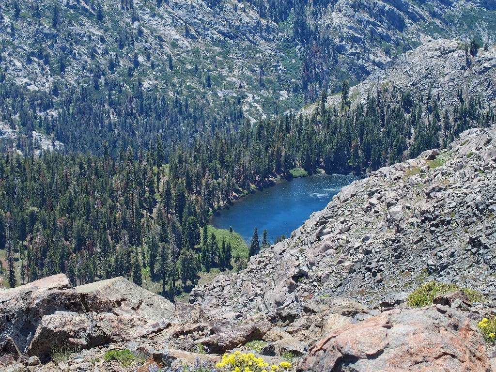
Fourth of July Lake is 1,400 feet below
I incurred my only case of giardia down there in 1974, by stupidly drinking water
directly from Fourth of July Lake. My excuse is that it was only my
second-ever backpack. Equally idiotic, however, was my partner's medicinal
solution — munching ground beef and raw onions for a week in an attempt to
"stop the runs".
Halfway down
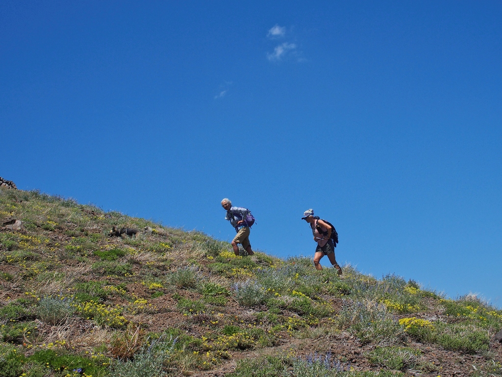
More willing victims — both with white hair!
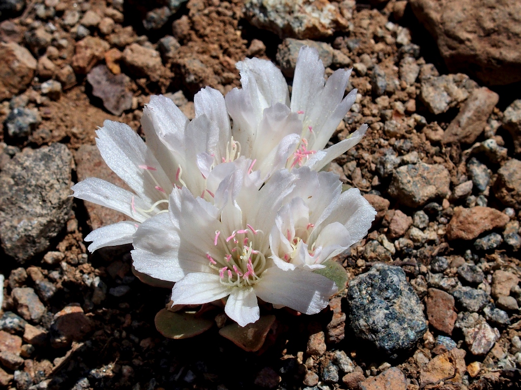
A lone Hutchison's Lewisia is right beside the trail
I don't know how I missed that one earlier; I guess I was busy dreading the imminent ascent.
Back on track
That's where I came up
Now I really am a bit weary; so I decide to forgo the planned loop down past Winnemucca Lake, in order to save a mile of trekking. I cannot merely plunge back down the shortcut slope, however; for a favorite special place is just around the corner.
My lunch stop still is a quarter-mile away
It's gravy-time!
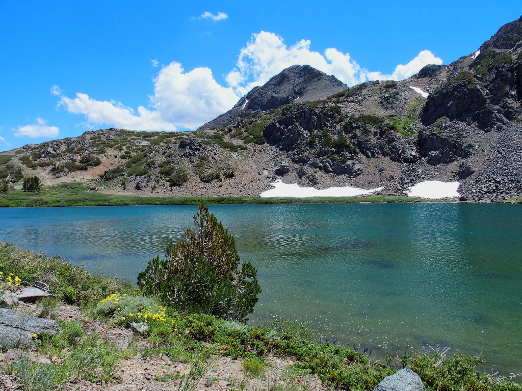
Round Top Lake, at 9347 feet
I hunt around for a shady spot, then settle in to munch some gorp and a cutie. Having had only five hours of sleep, I consider a nap; but that never seems to work out for me.
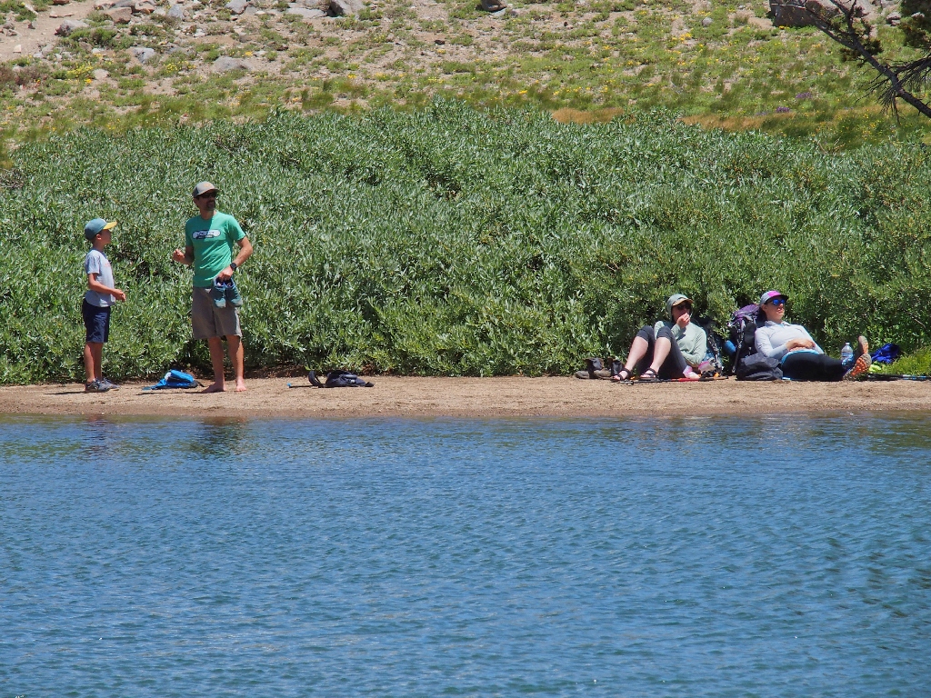
They are on the lake's only beach
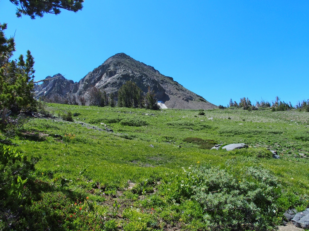
Round Top itself dominates the skyline.
My keen post-cataract eyeball detects something up there
Yep. He's on the summit at 10381'
My second and last-ever venture up there was seven years ago.
Not as easy as it looks; treacherosity abounds there as well
Okay, I need to make it another 2½ miles; I hope that the breeze holds up to mitigate the heat.
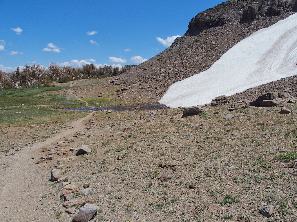
The lake's outlet
My outlet
Red Mountain Heather, and Pyramid Peak
I also scaled that one for the second and last time, seven years ago.
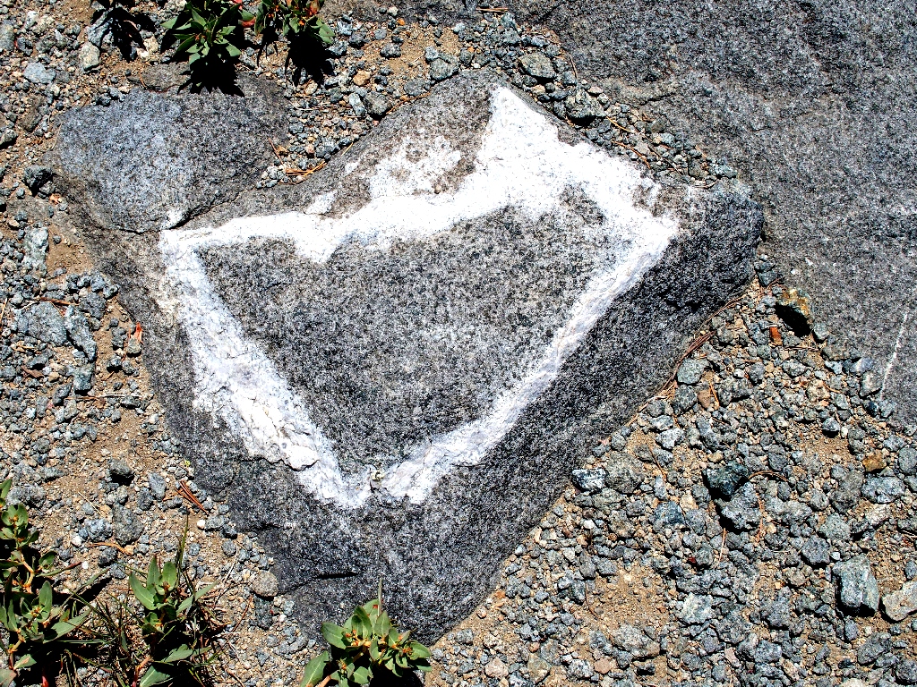
This amazing trailside formation is natural
That's where I headed off the trail earlier
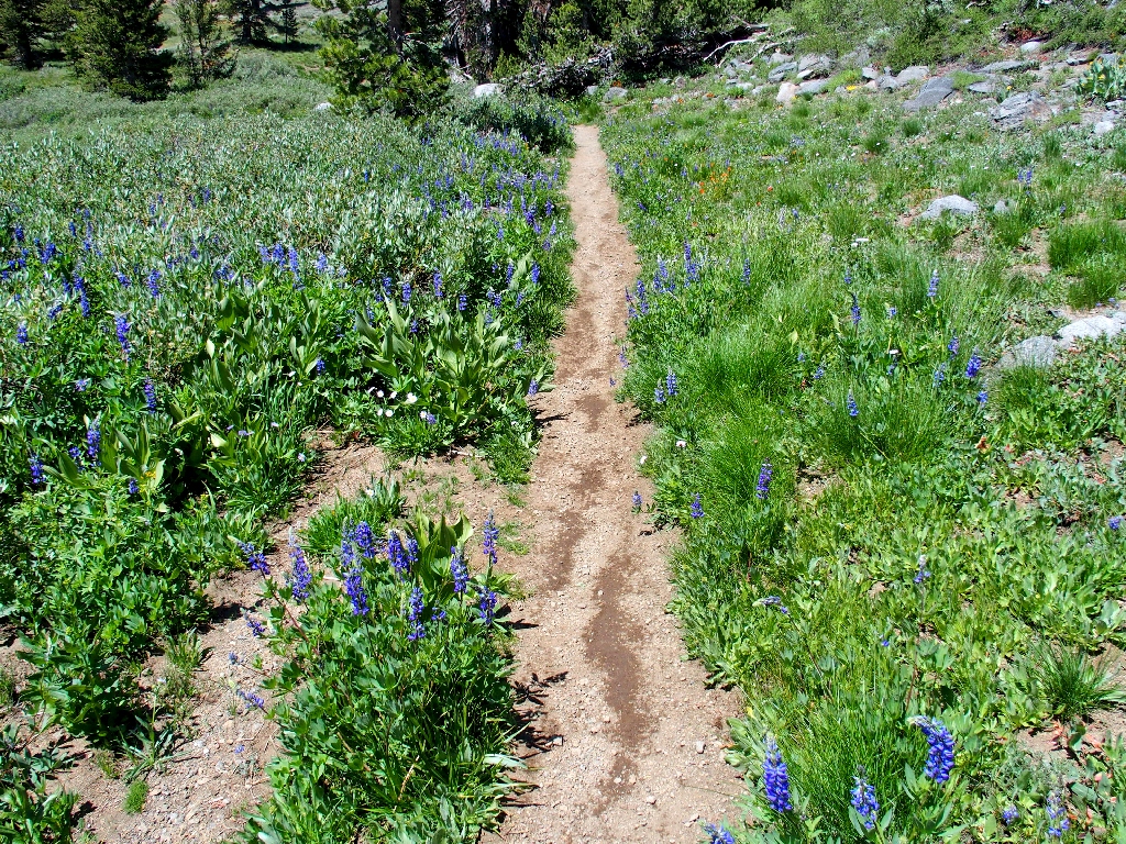
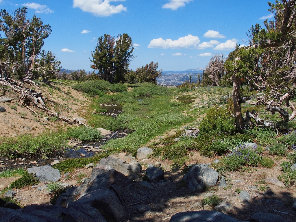
Lupine alley
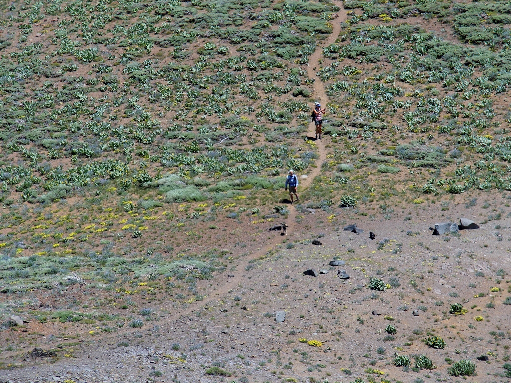
Back at the old Lost Cabin Mine site, a dozen or so hikers are lounging about.
This is the same group that started out at the same time as I; but they opted for
my scheduled loop in reverse, heading up first to Winnemucca Lake.
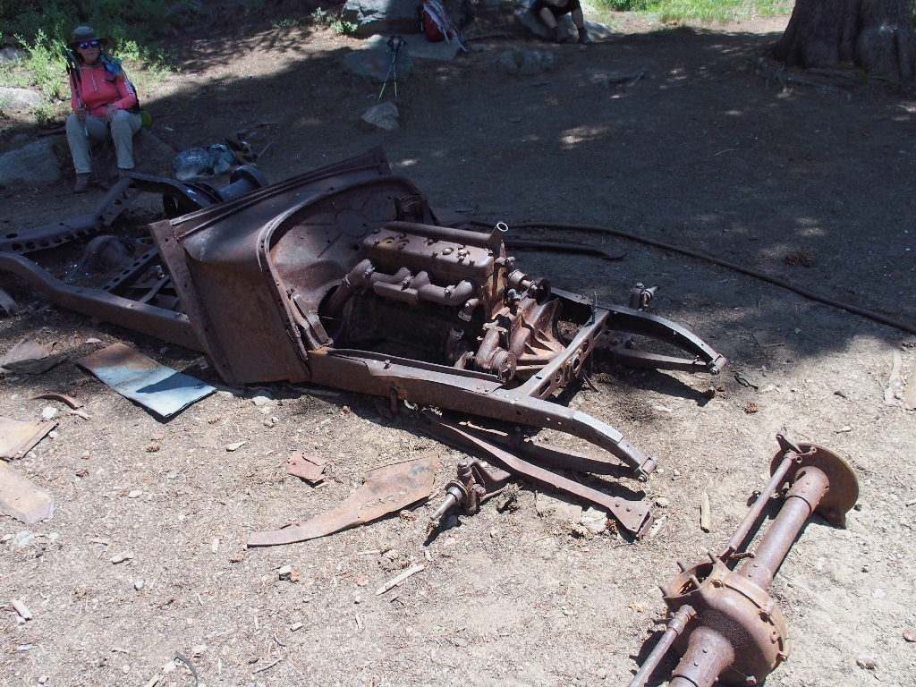
The mine was active primarily in the 1920s and 1930s
A resting woman asks whether I have any daughters, a question that seems strange
until I cleverly divine that she has read the "Camp Like a Girl" caption on my
T-shirt. After explaining the derivation of that slogan
(Hike #59 Addendum),
I offer to make her and her doggie world-famous (ha!) by posting their photos
on this page.
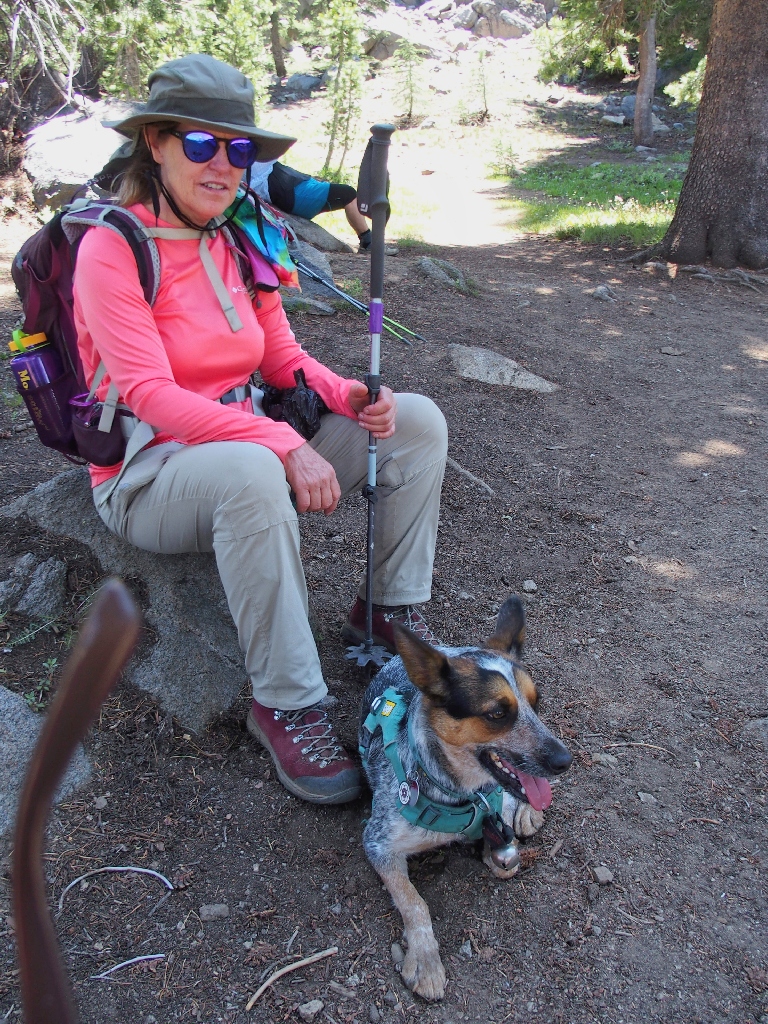
Tally & Tilly
Horrors! I must apologize profusely for failing to notice that a temple of my sunglasses managed to creep into their photograph. Had, I noticed, of course I would have shot another one.
The hiking group also is from Sacramento. Small world
One short cliff-side segment of trail offers the nicest little garden I have seen this year. Unfortunately, some of its offerings remain unidentified.
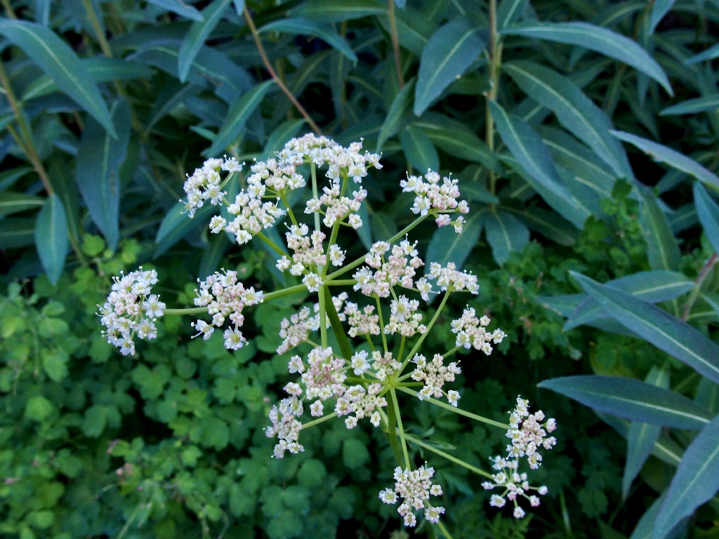
Gray's Lovage
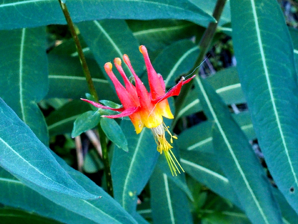
Crimson Columbine
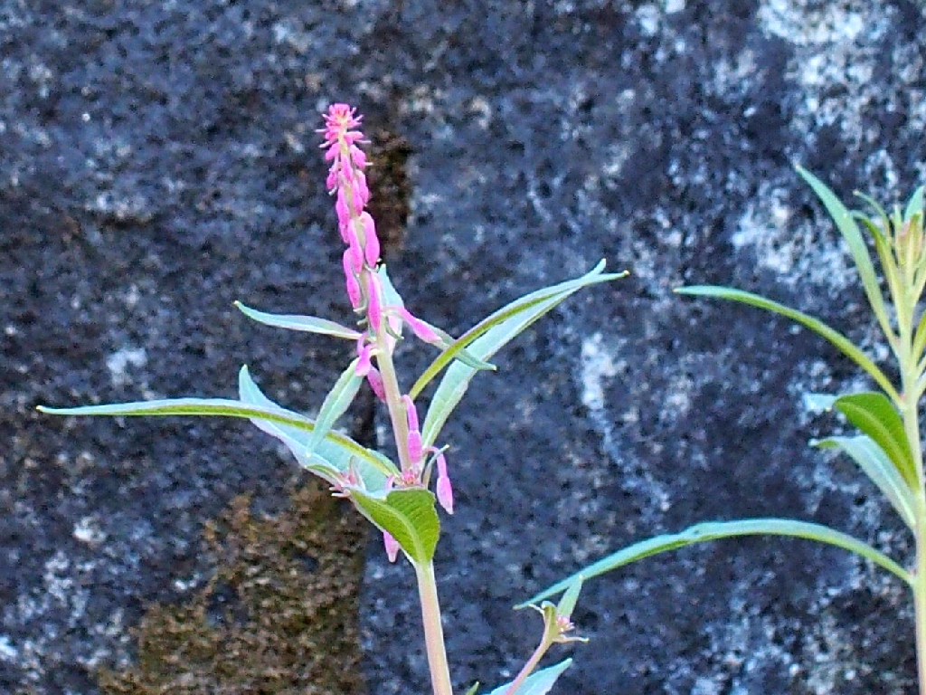
Ironweed
Fireweed
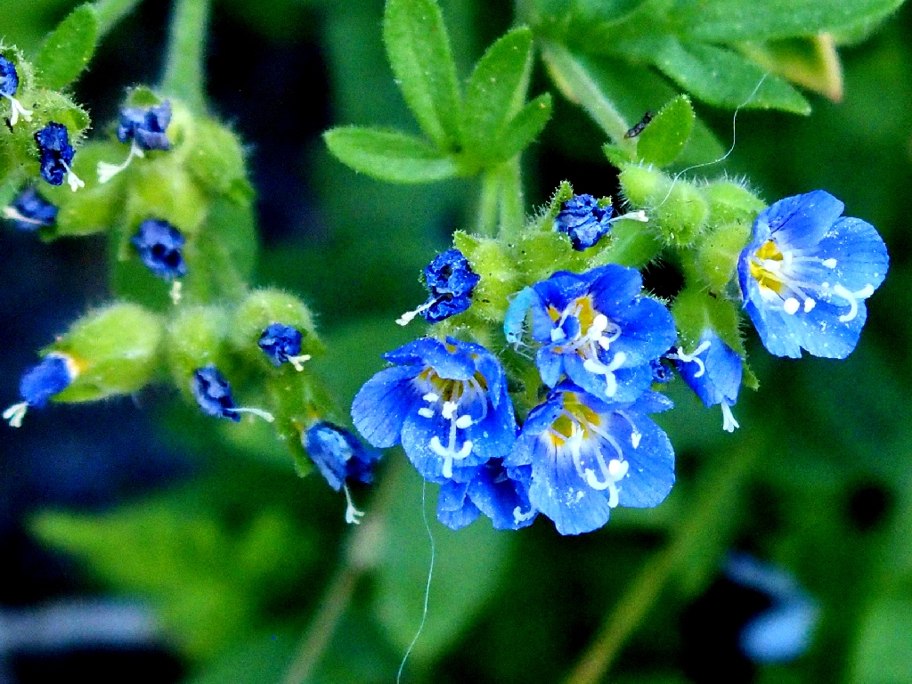
California Polemonium
Shortly downhill from the garden, I encounter the trail blockoff that I had spotted previously. Having observed on Google Earth what purported to be an alternate route up from the lake, this could be it, and it's worth a try.
They don't want me to go that way
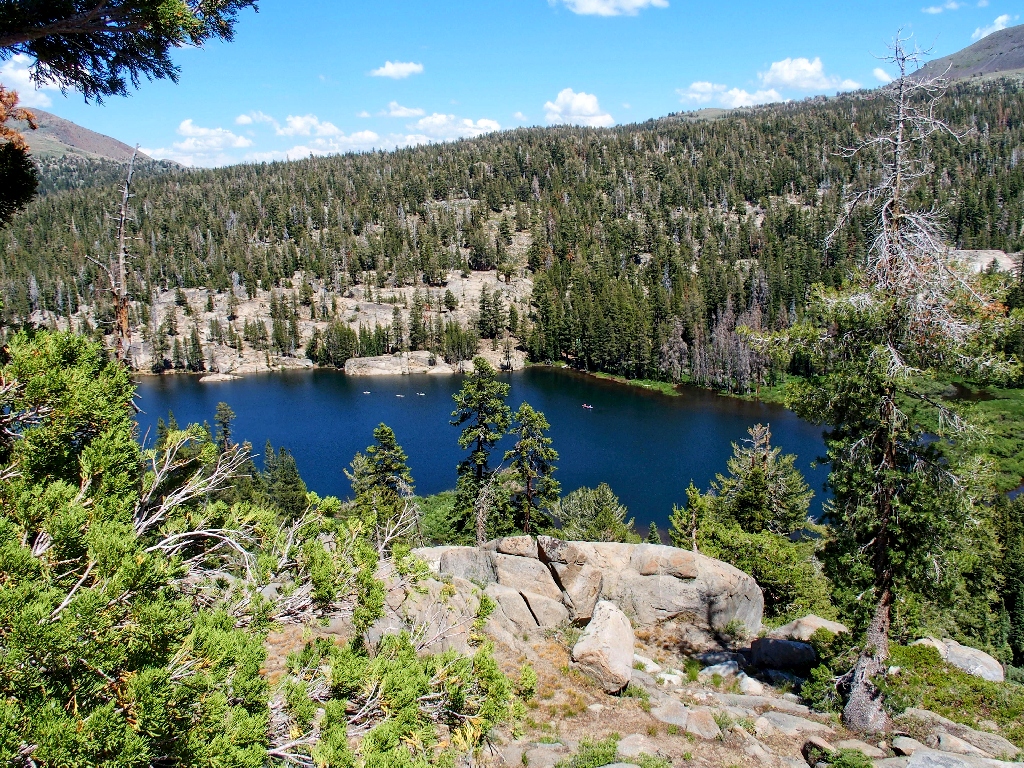
Well, the detour doesn't get me far, but it does provide my best-ever
photo-ops of Woods Lake.
A boaters' paradise
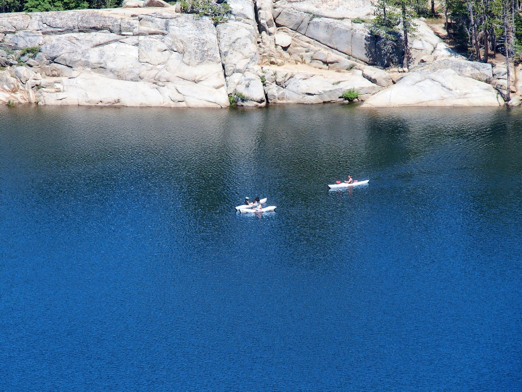
No motors allowed
I continue down for a ways, but promptly become cliffed-out. This necessitates a hand-over-hand scramble up a cliff to avoid backtracking, which might or might not actually have saved me any time.
The trail is over there
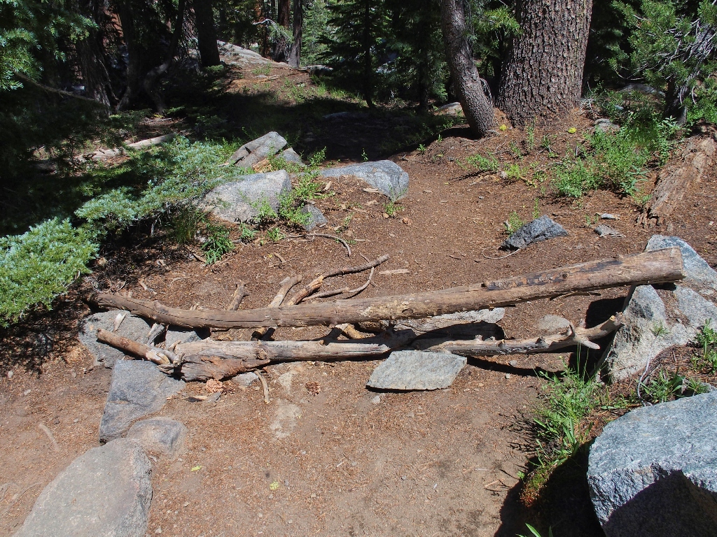
They avoided the logs
§: Well, I was plenty tired at the end, and was most pleased to have opted
for the short route back from Round Top Lake for that reason. Besides, had I
continued the loop, I would have missed the great shots of Woods Lake, and I would have
missed the special garden with its mysterious inhabitants. Serendipity.
This was a fine outing.
| Scenery |  |
| Difficulty |  |
| Personality |  |
| Adventure | |
| Flowers | |