
Mokelumne Wilderness
|
Melissa Coray Peak Mokelumne Wilderness |
September 1, 2016
Yesterday I drove 270 miles up Interstate-5 to go hiking, only to discover that the entire area was inundated by smoke from two local forest fires; so I drove back home. The day was an expensive waste of time, mitigated only by a stop in Redding to check out the nifty Sundial Bridge for the first time.
How stupid was that? Perhaps now I am feeling the need to punish myself, but accomplishing something meaningful today would at least prevent this week from being a total loss. A visit to Melissa Coray Peak has been on my bucket list for quite a while, so here I am at the Caples Lake Trailhead at ten o'clock.
The air temperature is perfect, but it is scheduled to be quite windy. I don't believe that I'll need a bulky windbreaker, however; so I just stuff a sweatshirt into the big pocket of my lumbar pack.
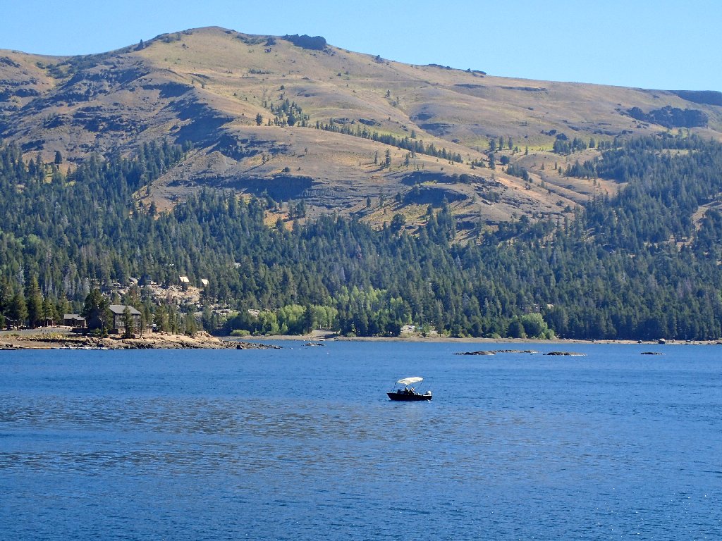
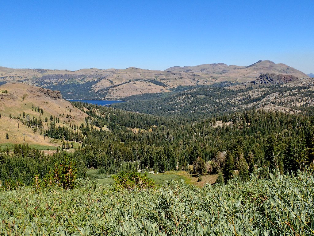
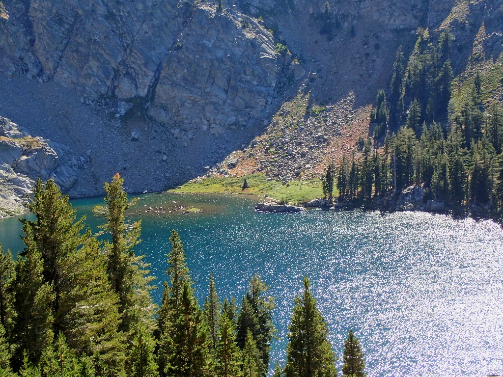
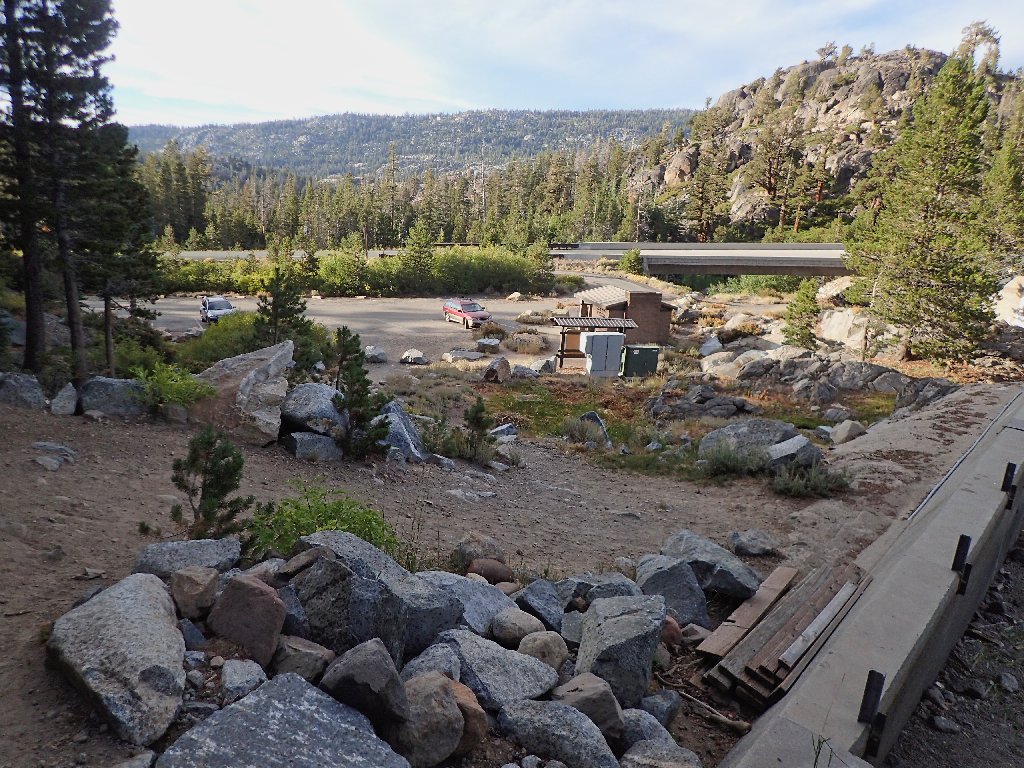
Normally there are more fishers than this on Caples Lake
Within ten minutes I discover that my sweatshirt is missing. So much for my packing job. I must backtrack about 900 feet to pick it up where it had fallen. I hope that this is not an omen.
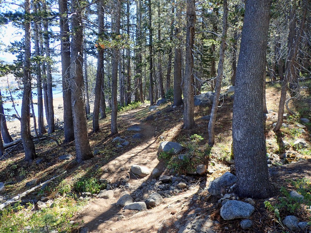
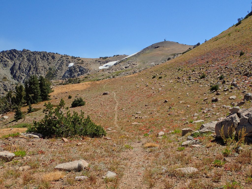
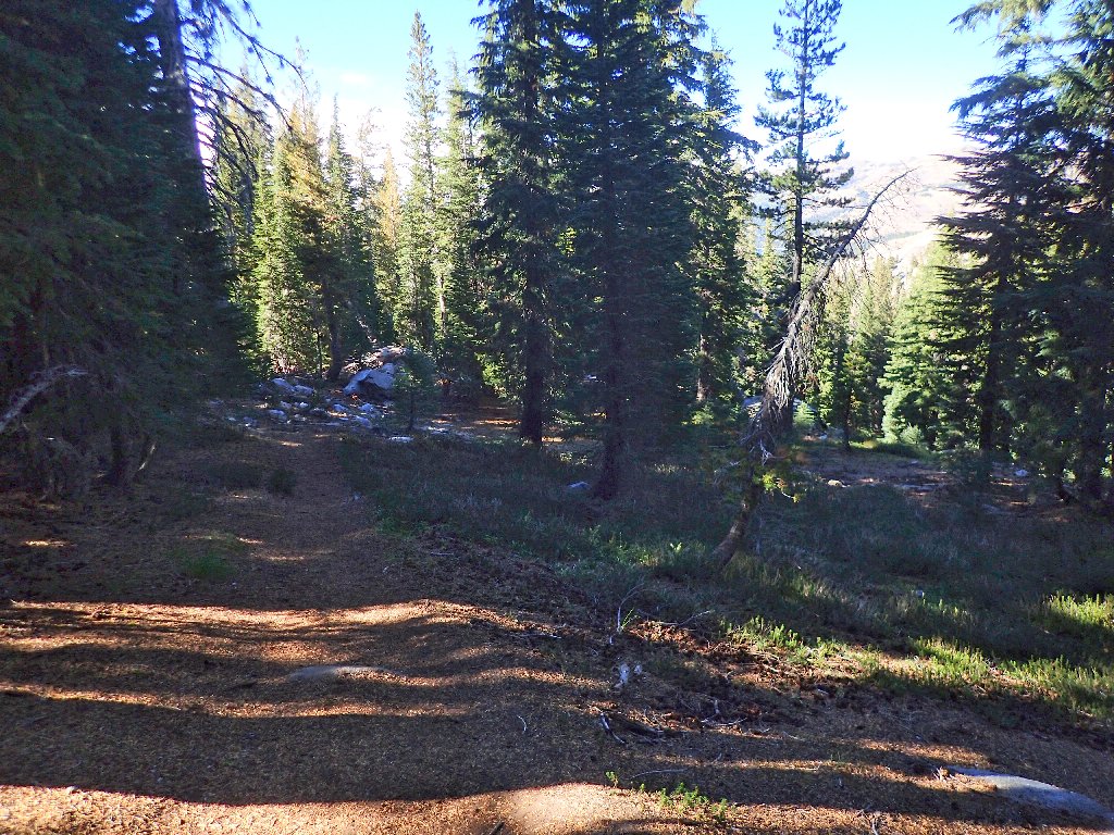
The lakeside trail is easy enough
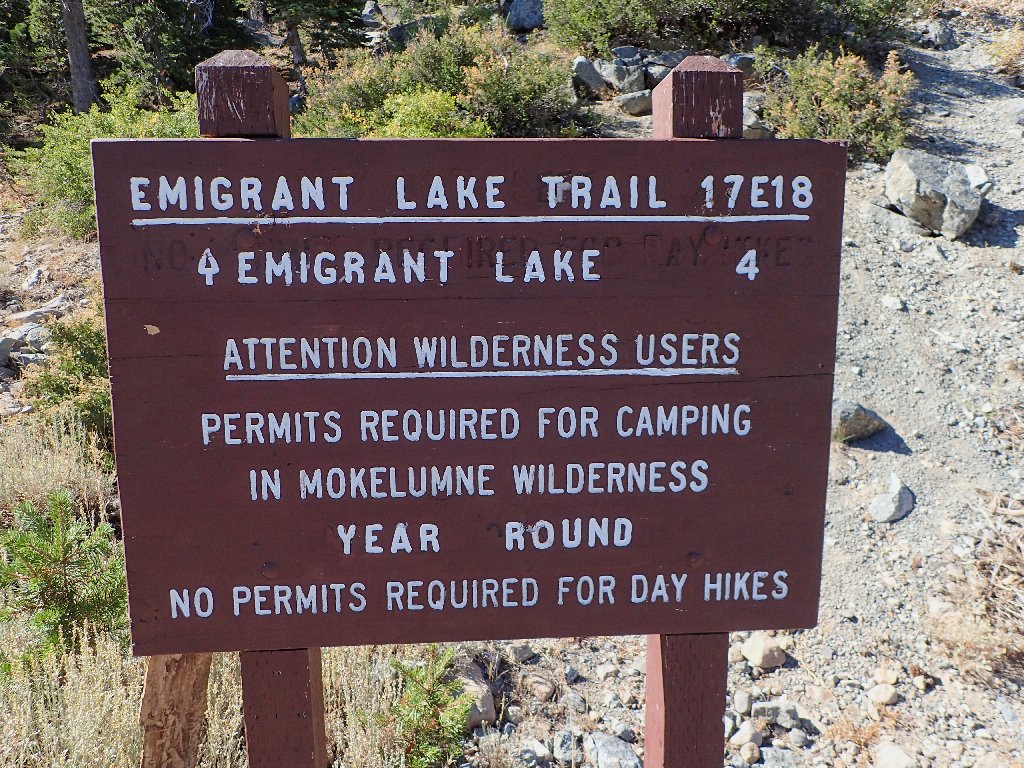
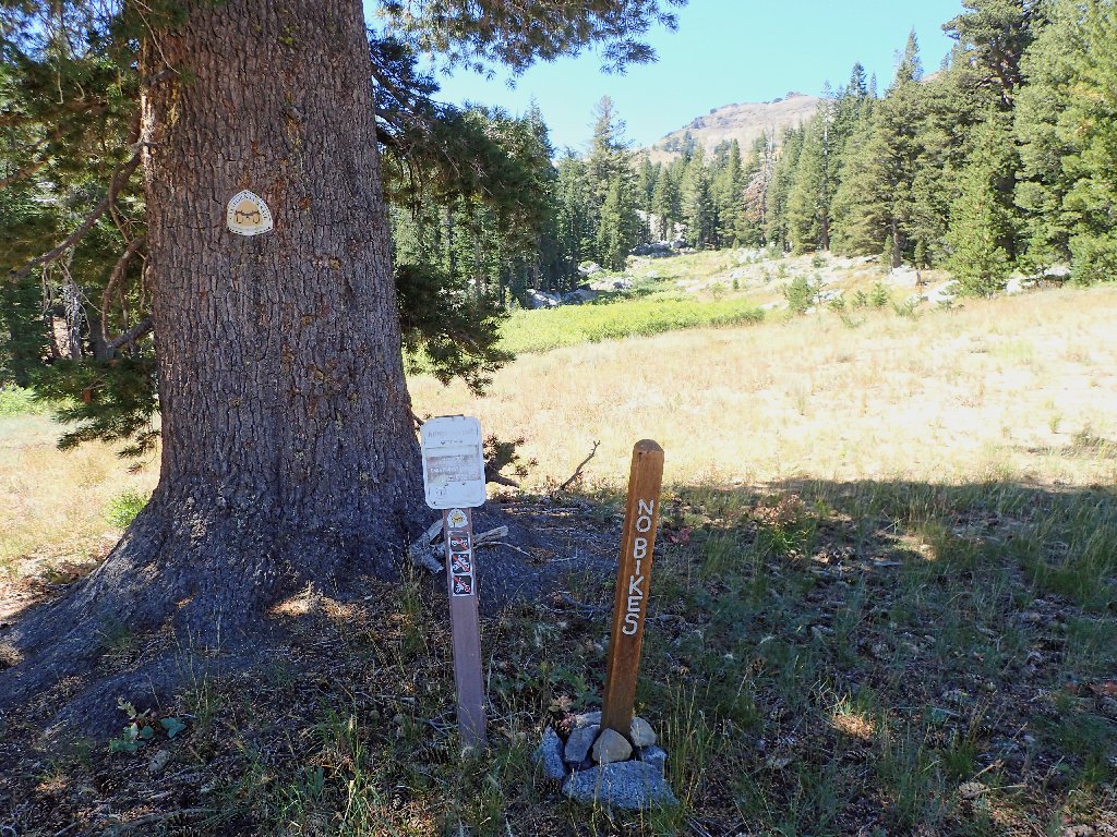
A mile and a quarter up the way is an anticipated trail junction. Although there is an option today, using the old Emigrant Trail will start the climbing sooner, which is good.
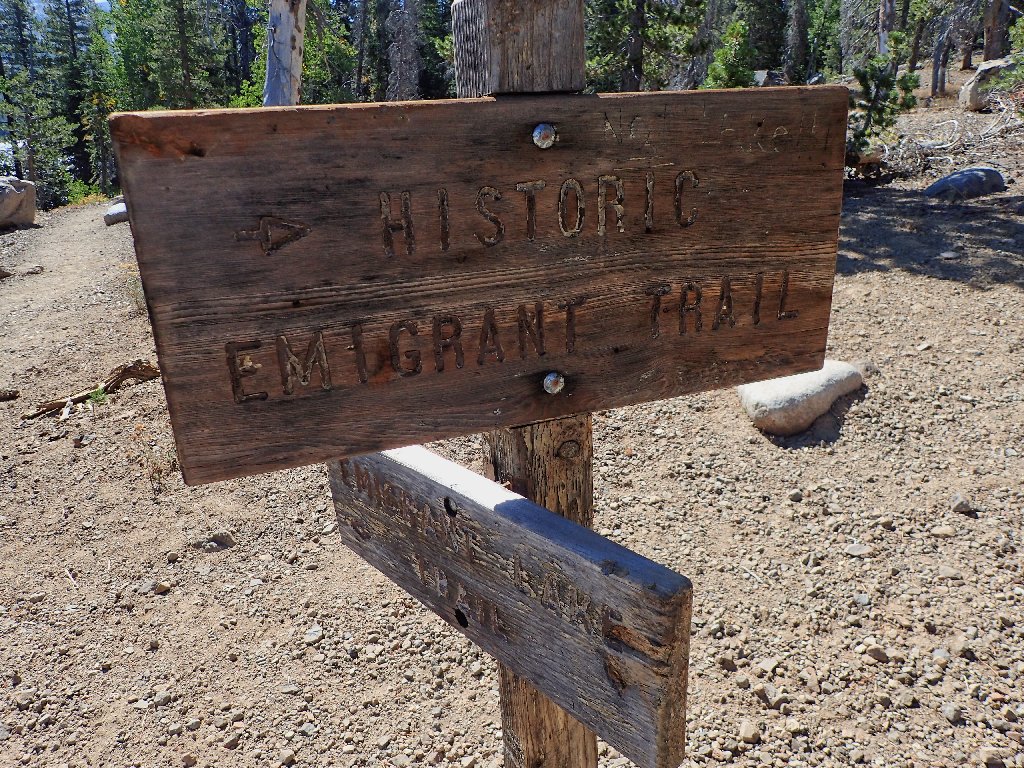
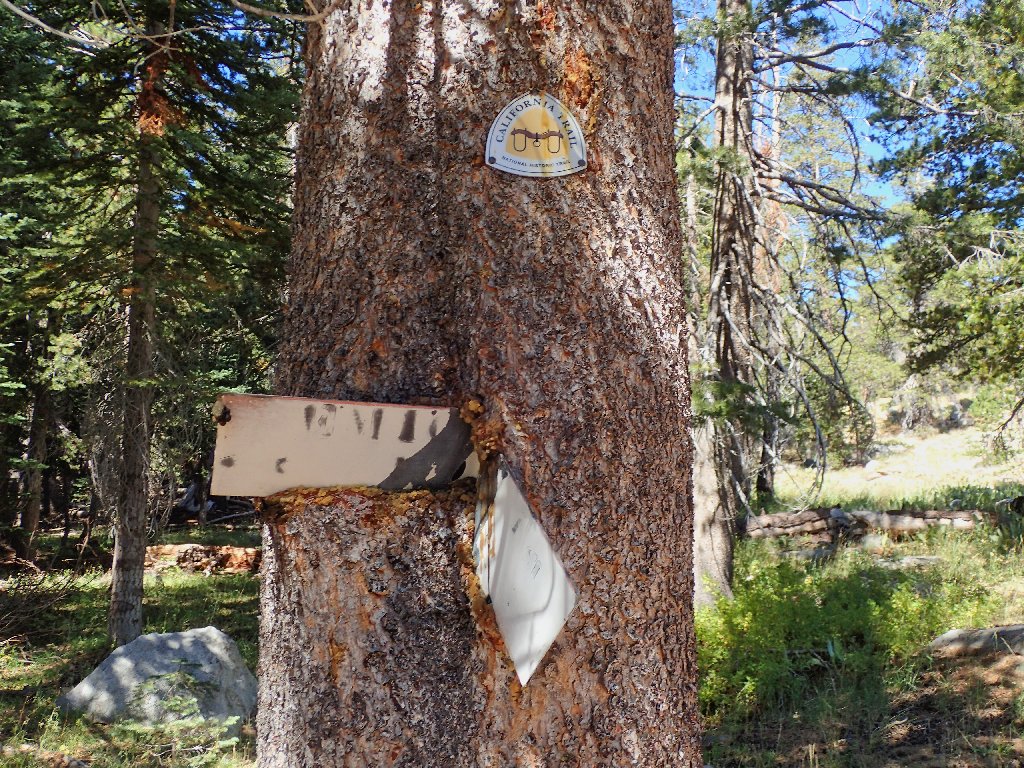
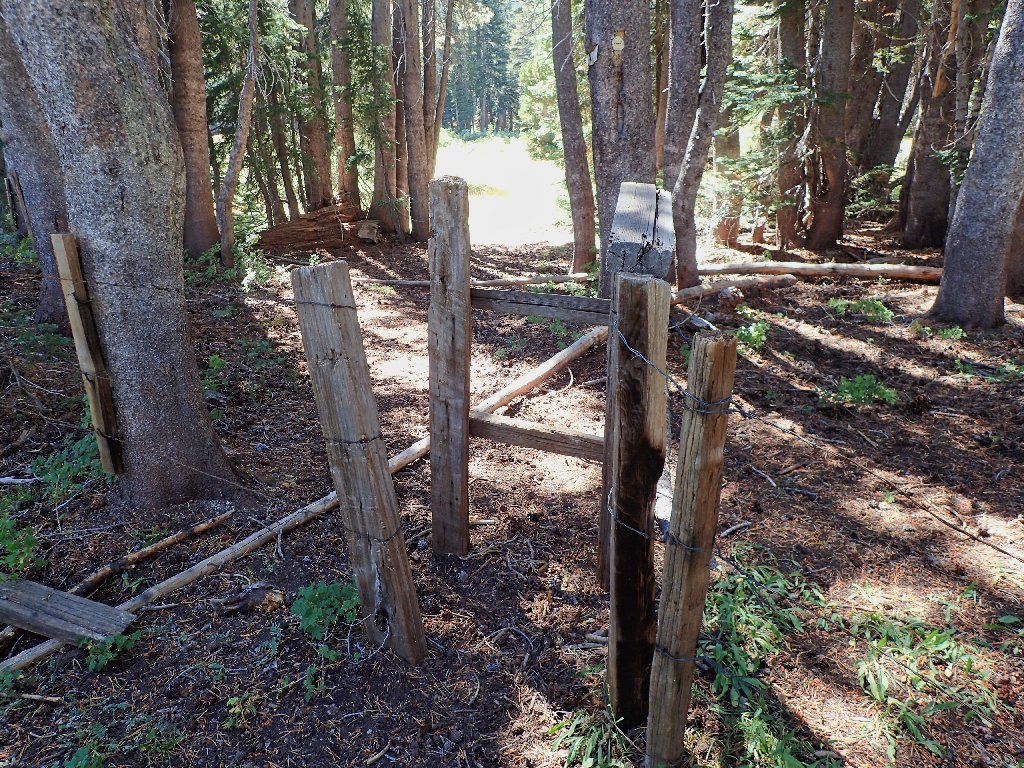
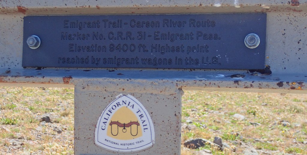
The signage for this historic covered-wagon route is old and dilapidated
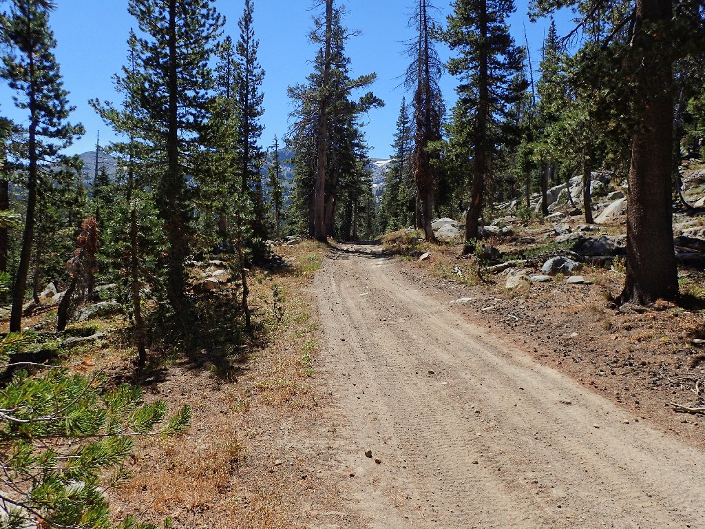
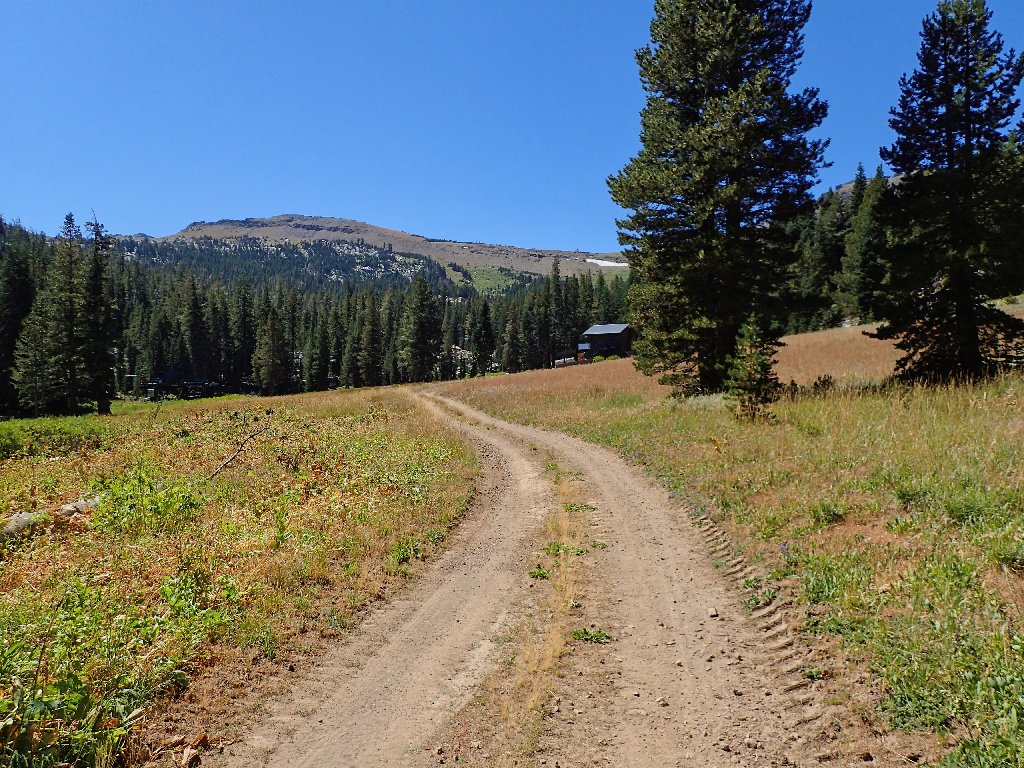
The trail morphs into a service road
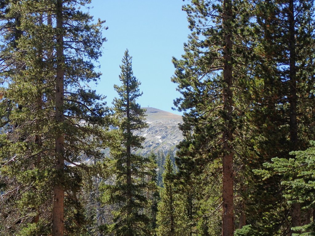
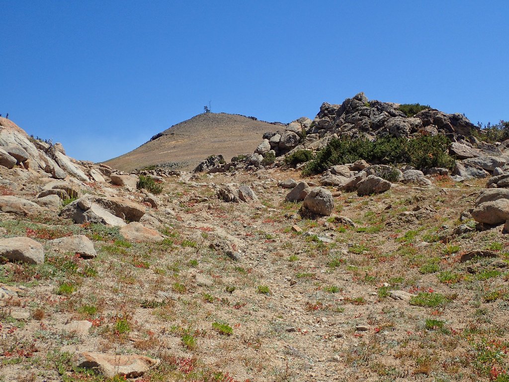
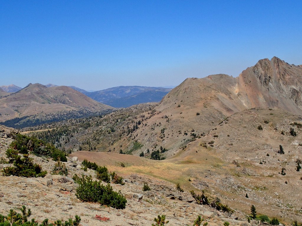
The destination is in view for the first time
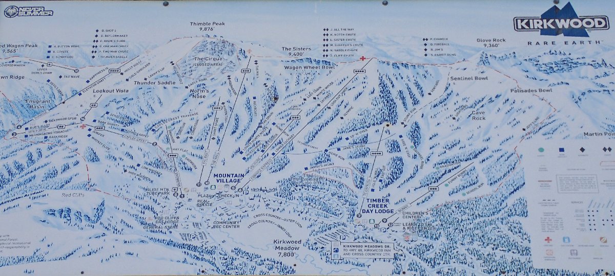
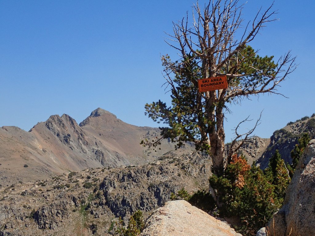
I have temporarily exited the wilderness area for environs of the Kirkwood Ski Resort. Various sounds can be heard from maintenance work being done on a couple of the facilities here in Emigrant Valley.
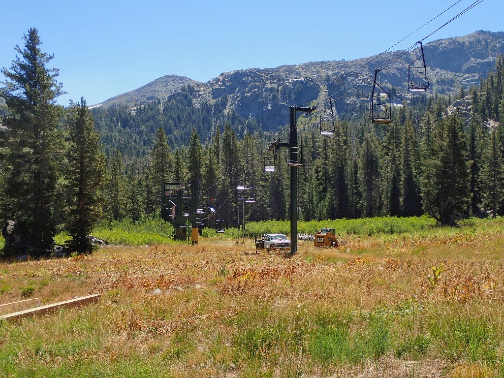
Workers are over there
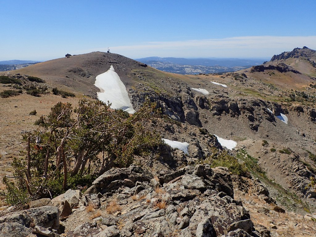
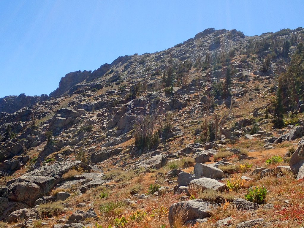
The slope of Covered Wagon Peak is the interim goal
Note the designation "The Sisters" at top-center
That nickname for a rock formation atop the Wagon Wheel Bowl seems
confusing; for the real "Sisters" lie three miles due east, and
cross-country skiers do go over there as well.
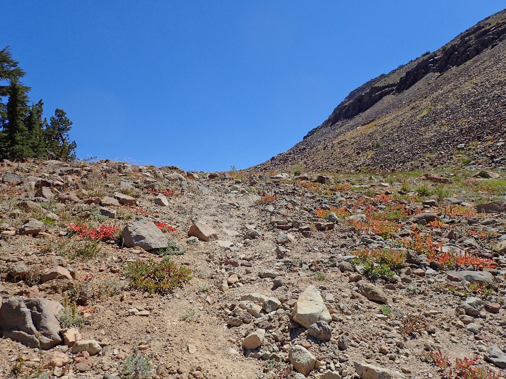
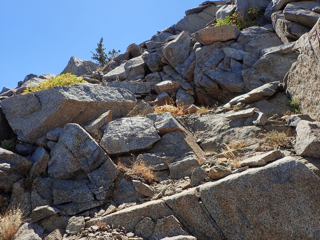
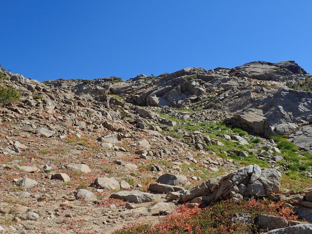
The real climbing starts here
Cattle gates are fun
Because this is not a heavily used route, the path is faint in
places. True to form, I lose my way temporarily, necessitating
an energy-draining scramble to get back on track.
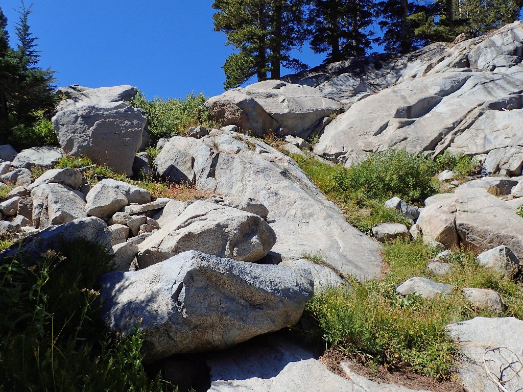
Not the established route
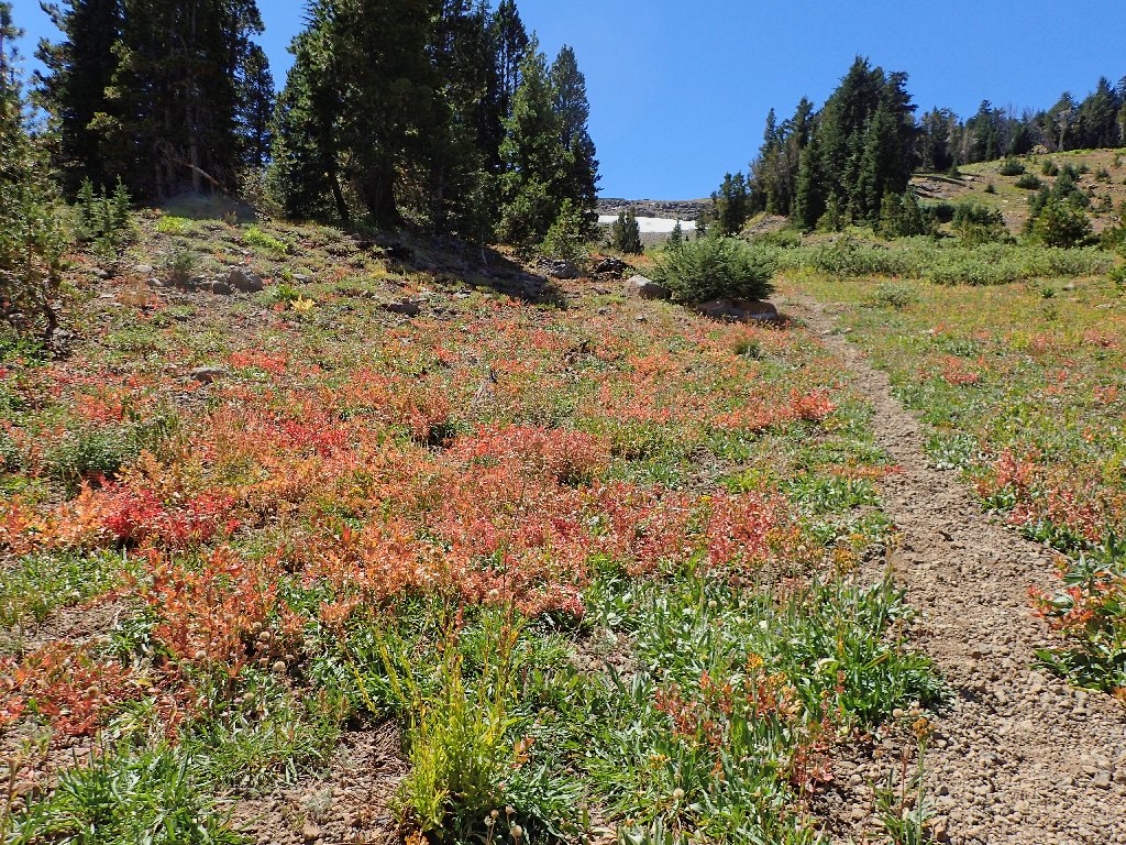
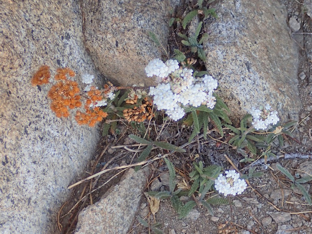
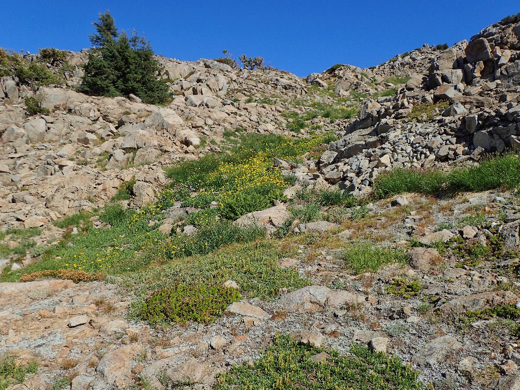
This area is greener than had been anticipated
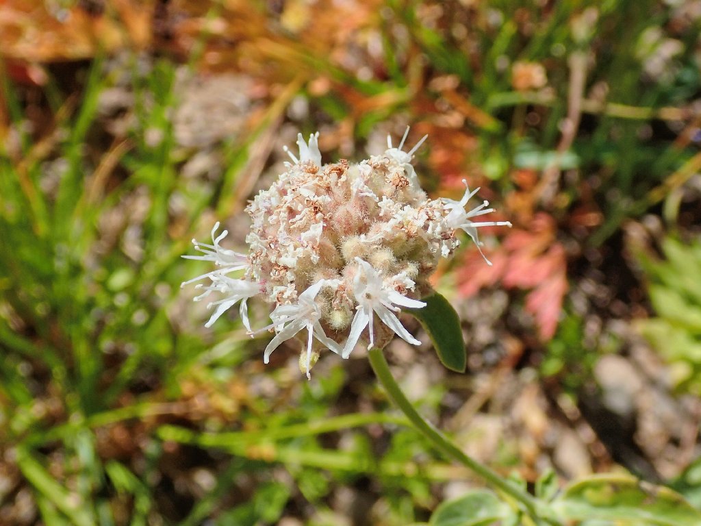
Mountain Monardella
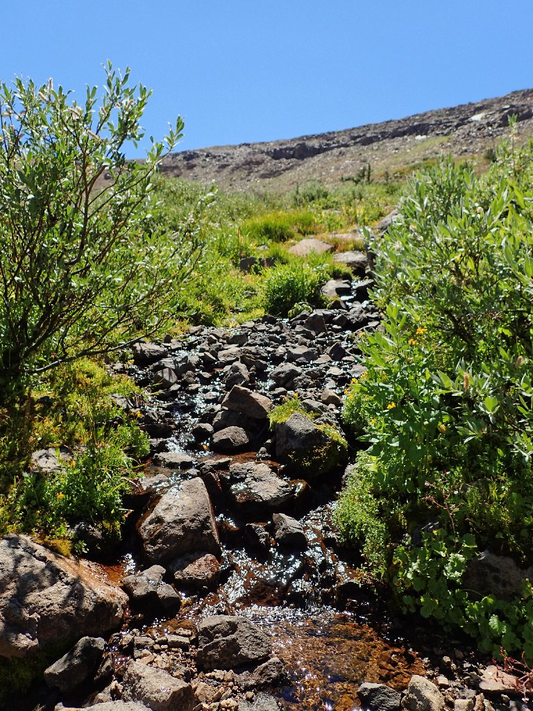
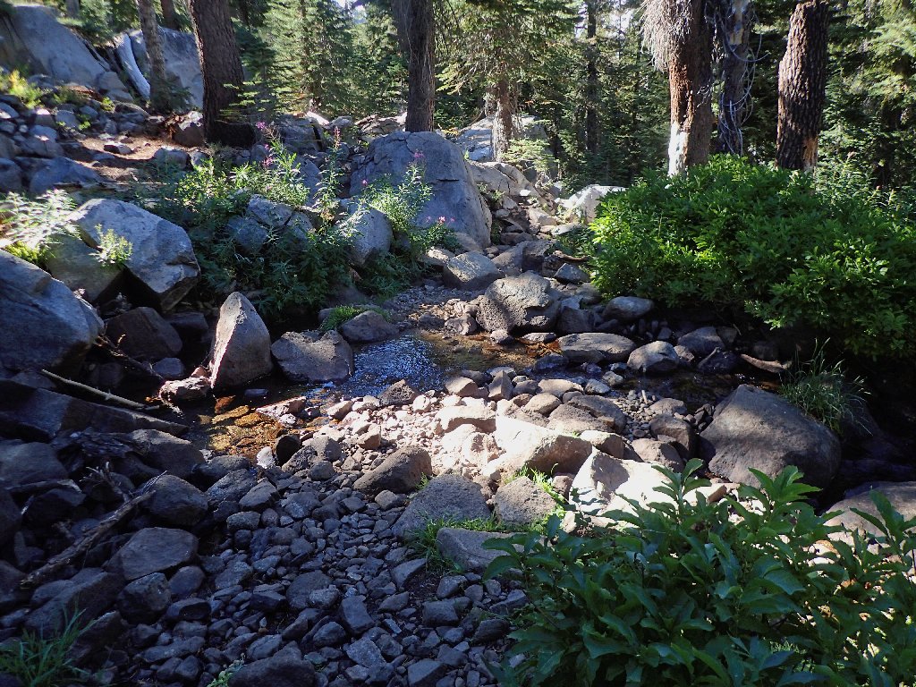
An unexpected spring provides a good water re-supply
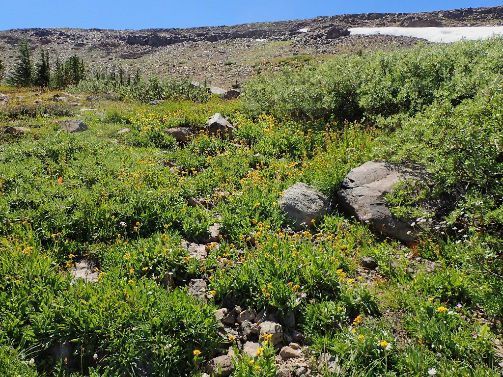
A high-altitude garden
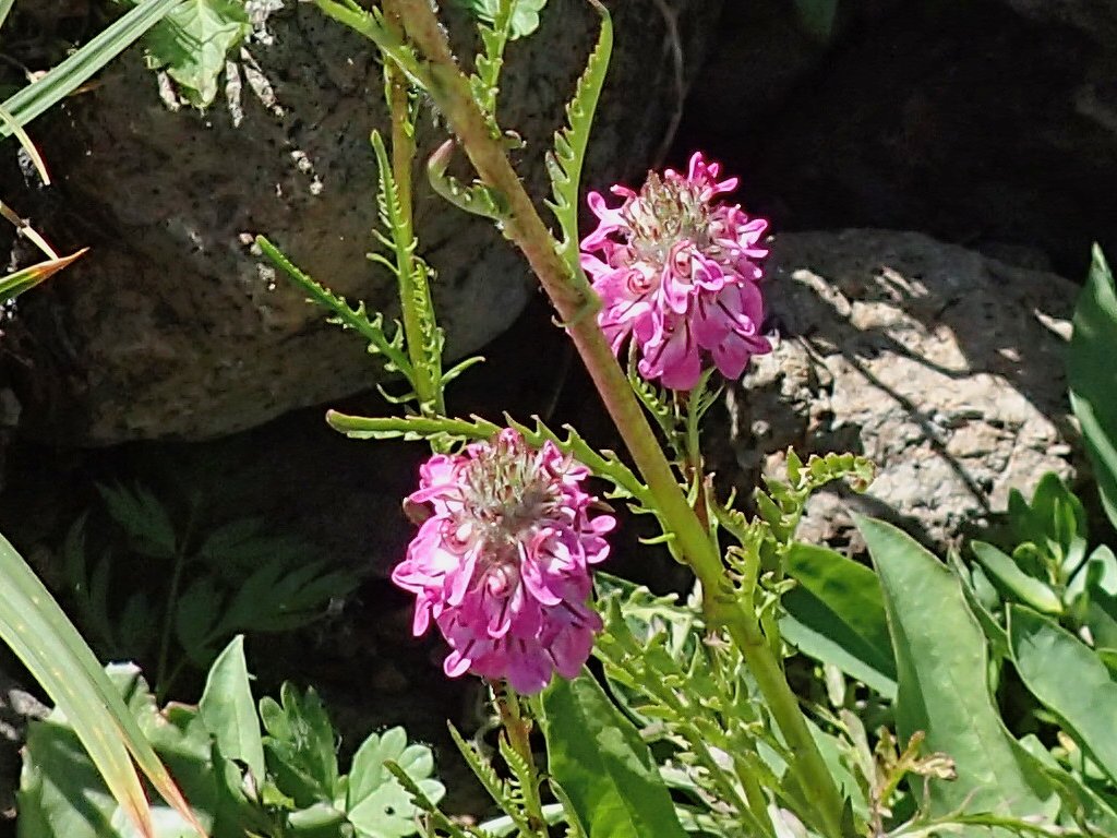
Little Elephant Heads
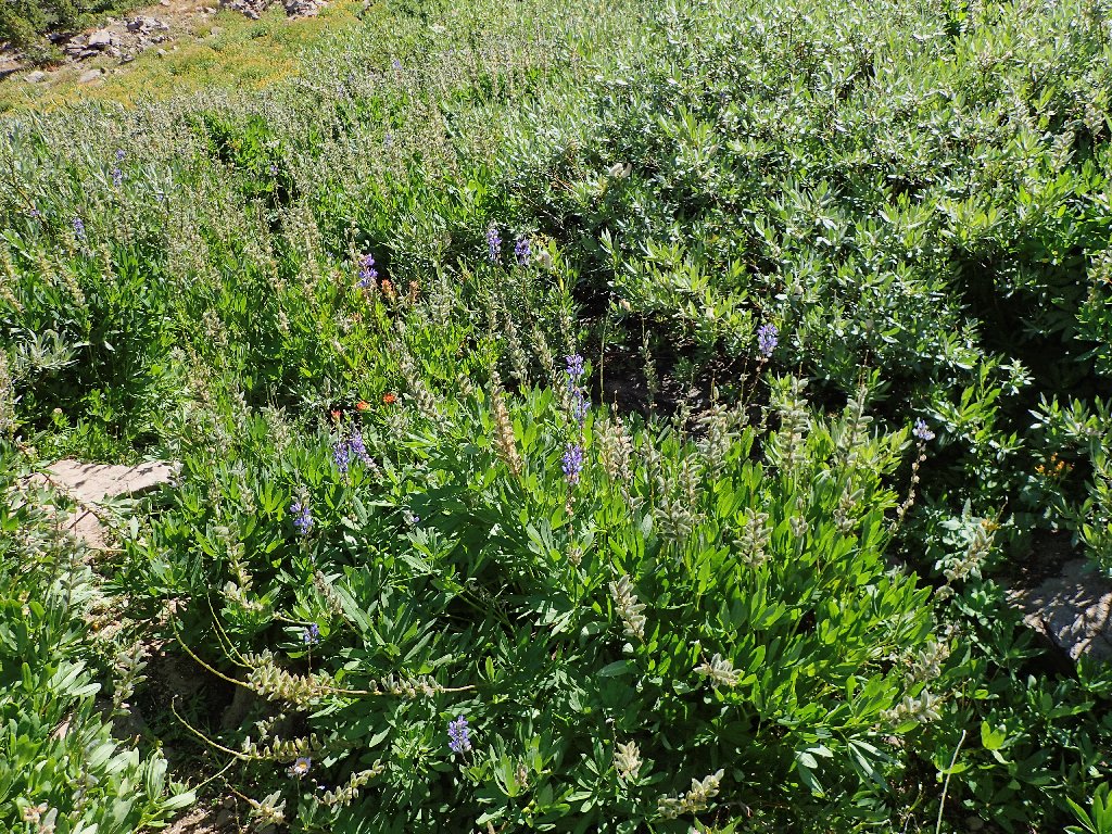
Lupine and Paintbrush
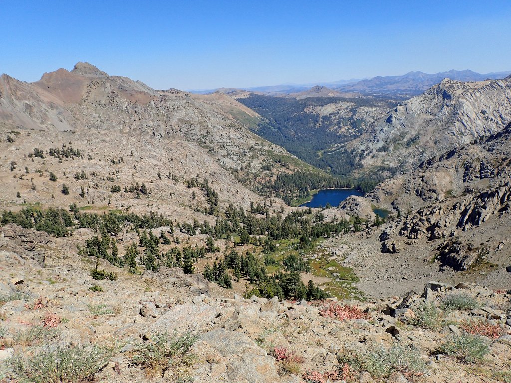
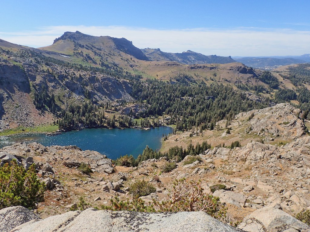
Looking back at Emigrant Valley, Caples Lake, and Red Lake Peak
This is rather exciting
Mystery plant among the aged White Mountain Heather
Actually, my plant-identifier app says that the big flowers also are white mountain heather, but I don't buy it. They look more like paintbrush.
The real Sisters are over there
Yep, there's the mountain, with a communications contraption on top
My planned return route leads to the left over that rough-looking
area; but any thoughts of actually walking along that ridge-top don't
seem very attractive at the moment. Meanwhile, at the apex of a minor
pass I re-enter the Mokelumne Wilderness, and get a view to the west:
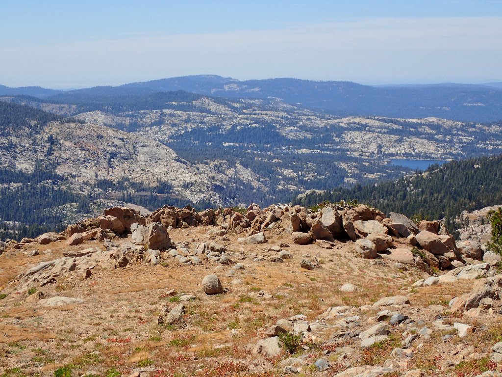
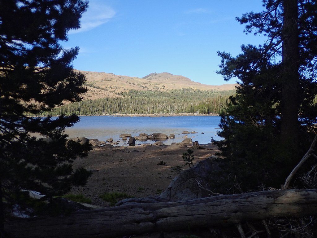
Silver Lake looks so far away, yet it is but three miles
distant as the falcon flutters.
Also in view, just above the nearby boulders in that photo, is a hill of dark brown rock. That's the elusive Machado Postpile, which was virtually unknown until the 1990s. How such a scenario was possible remains a mystery in light of the fact that the formation is plainly visible from a number of locations such as this one (see Hike #126).
Getting closer
I have reached Emigrant Pass. What a pleasure it is to be here!
I am in awe of the pioneers' accomplishments
Naturally, the wagons did not bother to scale the nearby summit;
so I must make my way up the last several hundred feet without benefit
of a 170-year-old trail. Negotiating the scree is easy enough,
but several rest stops are in order.
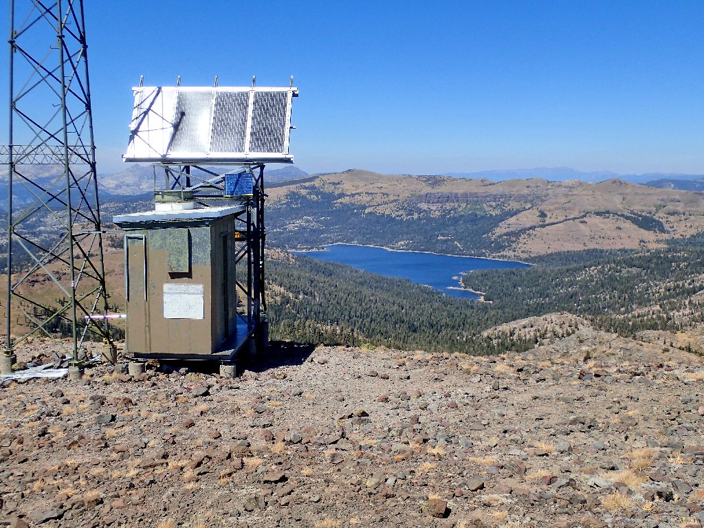
Microwave relay station at the summit of Melissa Coray Peak
The wind is gusting fiercely now, so I sit down on the little platform
on the leeward side of the building for a bit of lunch. Horrors!
I seem to have neglected to pack anything edible other than some green
grapes. Oh well, I might later be wanting some 'energy food'; but
nothing can be done about that now. In any case, mid-hike
nourishment never has been as big a deal to me as it apparently is to most
others. In fact, my only meal today will be a late dinner.
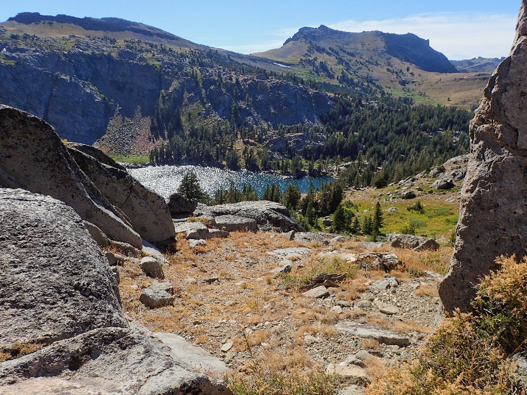
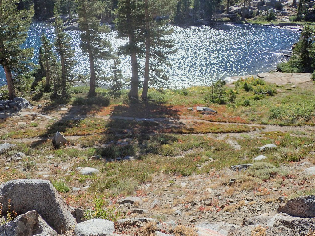
Today's first view of Emigrant Lake, in the foreground
Nearby is the actual summit, which features a beautiful granite plaque. Because the bright sun prevented a decent photo, the caption is repeated below:
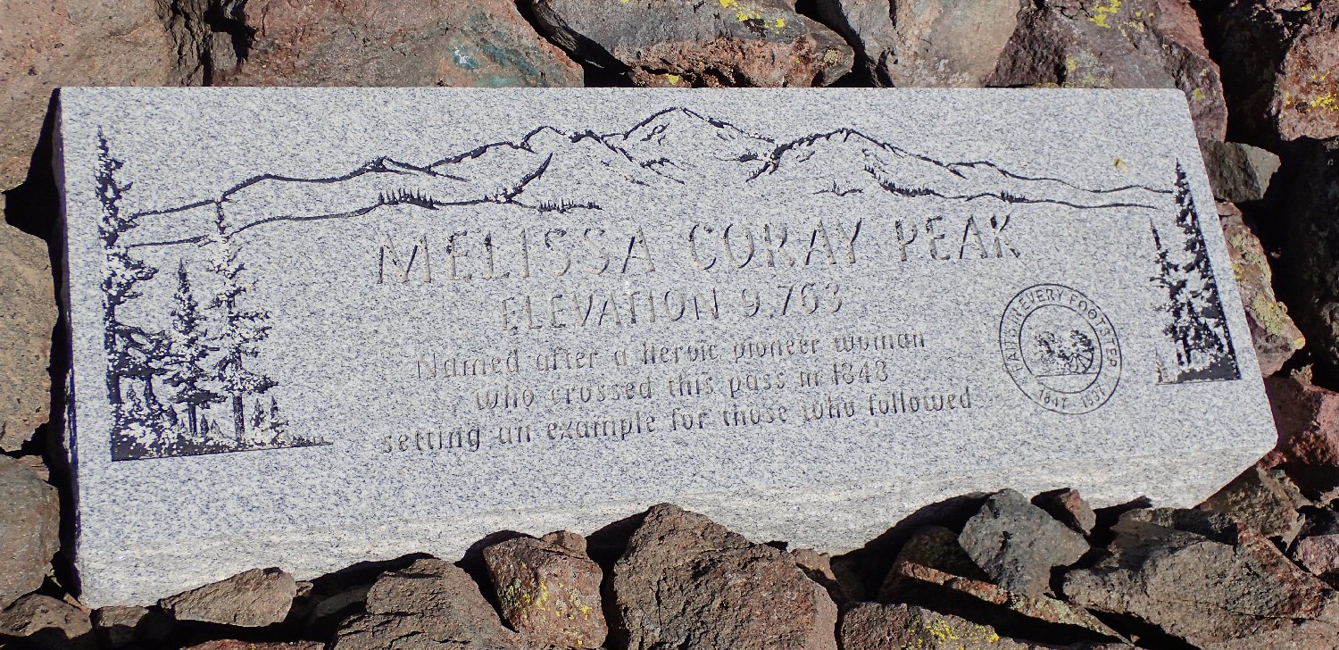
“MELISSA CORAY PEAK
ELEVATION 9,763
Named after a heroic pioneer woman
who crossed this pass in 1848
setting an example for those who followed”
Of course, that understatement doesn't begin to tell the whole story.
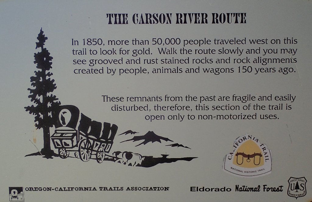
Melissa Coray, the only woman in a party of 46, blazed this portion of the
Emigrant Trail. Among other things, her food-rationing regimen
contributed substantially to the party's survival (see Addendum).
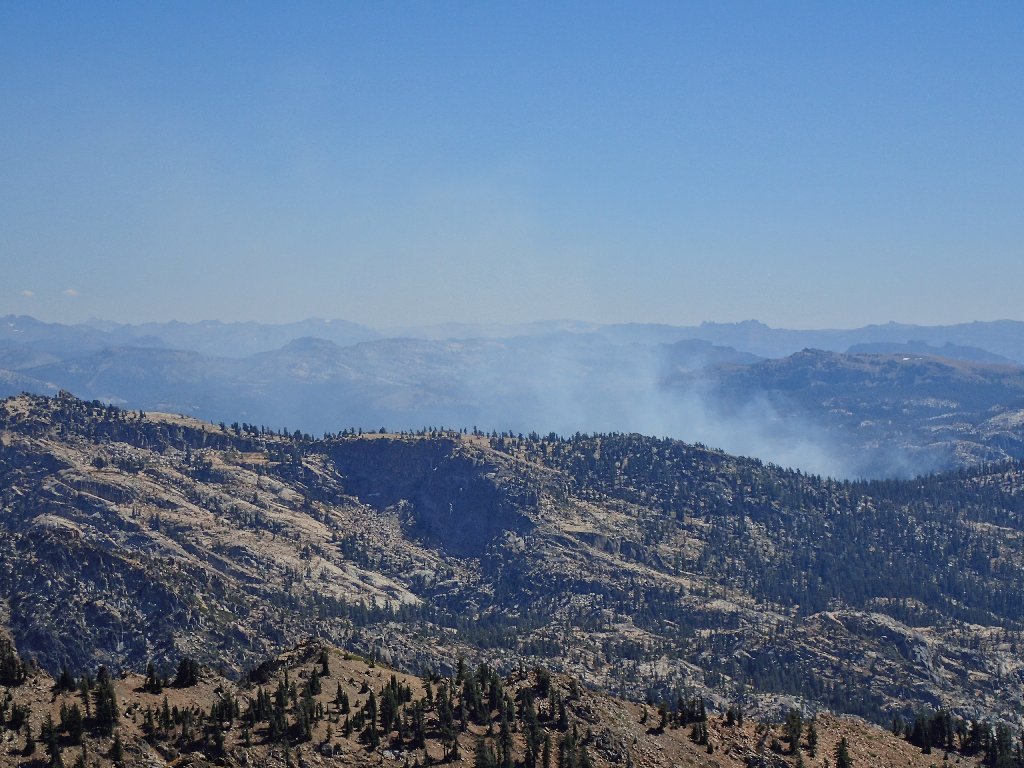
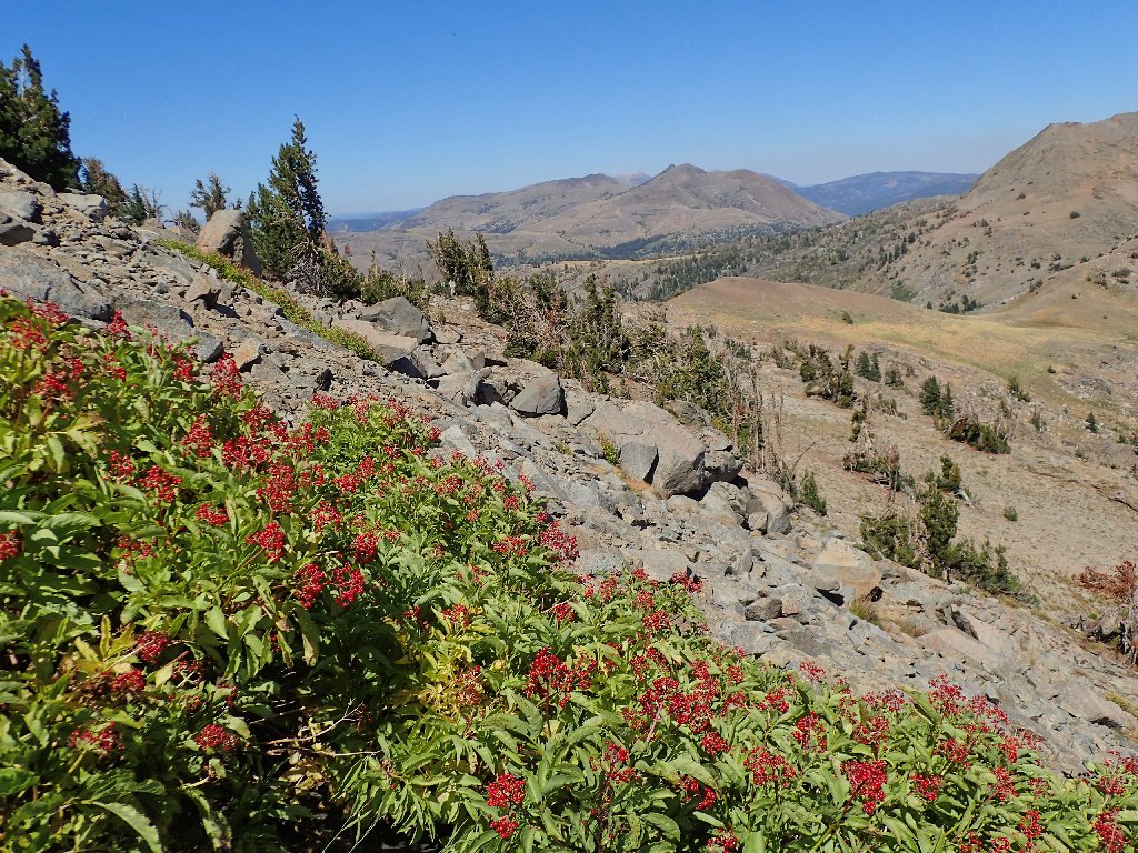
There's a fire to the south
Fourth of July Lake in the east, below The Sisters
That lake was the site of my late wife's last-ever backpack, in 1984. I also picked up a case of giardia there by drinking unfiltered water. Even back then I was stupid.
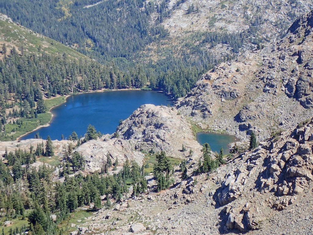
Hidden 500 feet above the other one, yet 800 feet below
me now, is the diminutive Corrie Lochan
Having not seen that interesting little lake previously, I already had planned a visit via the Round Top Lake Trail. I might still do that.
Covered Wagon Peak is just to the right of Emigrant Pass,
with Thimble Peak behind it
The crux of the mission is at hand. Is this ridge-top
reasonably negotiable, or must I scramble steeply down the other side?
On Google Earth I could not tell what might be workable.
The high route looks okay from here
I need to get down to that saddle
I should investigate beyond that first rock pile; but as soon a reasonable route downward appears I take it, somewhat regretting my choice almost immediately.
Is it going to be like this all the way down?
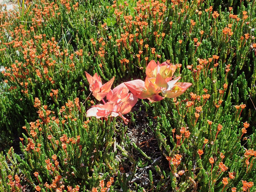
The orange stuff is Buckwheat
Nice berries don't make the going any easier
It is but a minor consolation to find places on this slope that seem
to have been trodden by human boots. I can see nothing better,
though, than to continue straight toward the inviting saddle below.
That's the slope I just came down — all of it
Whoa! Across the field are two hikers — the first I have seen today.
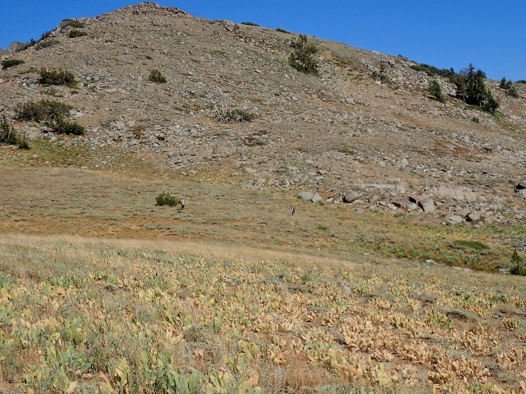
They are not on a trail either
Camping at Woods Lake, the couple had taken the trail down to Fourth of July Lake, then opted for a different way back. Does that remind you of anyone?
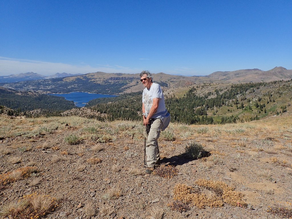
My hair doesn't really look like that
All around in blazing patches is an exquisite succulent variety that is new to me. It is a variety of stonecrop designated simply as:
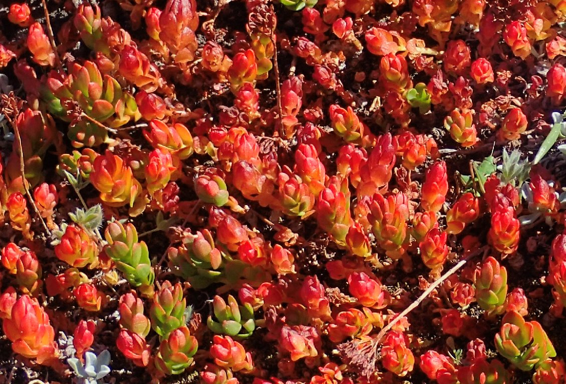
(just plain) Stonecrop
It's time for a decision. The original plan was to continue north to a meadow another 400 feet below, then down a canyon to hook up with the Emigrant Lake Trail. From here the going would be quite steep, but doable. Today I've become an expert on 'steep'. Alternatively, I could take the visible path that leads over toward Emigrant Lake. That would mean some extra mileage, but I would access a maintained trail sooner. Finally, I opt for that; this rough stuff is getting old.
Emigrant Lake reappears below Thimble Peak
Nothing resembling a trail is visible; so I just start downward, hoping for the best.
Making a route through boulders and flowers
Getting closer
Nice colors
At last, a real trail again
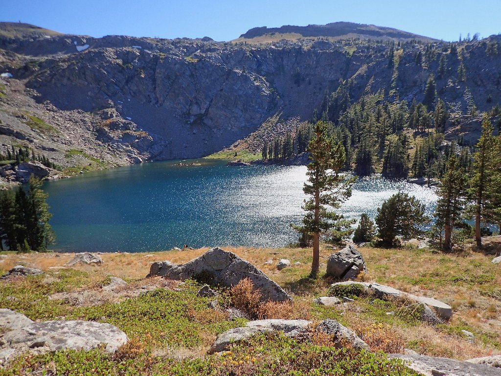
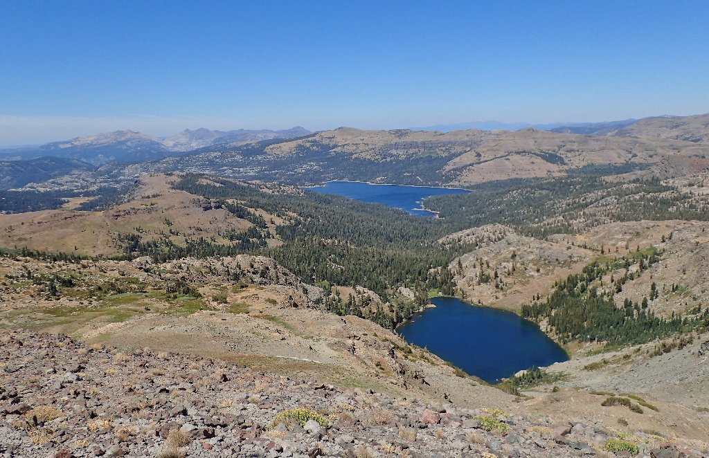
Emigrant Lake is beautiful
Above the lake, of course, is the spectre of Melissa Coray Peak, reminding me that it has taken fully two hours to get down here.
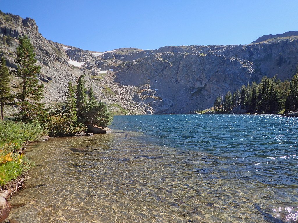
The crystal-clear water is inviting, but a bit cold
During my prior visit to this place it was threatening to rain, so it
feels extra-good here right now. I'd like to tarry; yet
already it is four o'clock and already I am relatively exhausted, meaning
that I surely will travel more slowly than usual. (Yes, I could have
used something more substantial at lunchtime!) Donning my Sony Walkman,
I prepare for the final 4-mile slog.
I've been saved!
After descending a series of switchbacks, I encounter a couple coming up the trail with a big yellow dog. They want to know how much farther it is to the lake; so I tell them, "Twenty minutes". After complaining that this trail seems longer than the published four miles (it isn't), they seem pacified and continue up the hill. It seems that I will not be the last one off this trail today after all.
The late-afternoon sun provides some pleasing shadows
The fishers have departed — to cook their catches, no doubt
Having literally worn myself out, I am compelled to stop briefly several times in the last mile alone.
Back at 6:15 p.m.
§: Well, I did succeed in punishing myself today; for that thousand
vertical feet of talus scrambling was more work than fun. This is the only
hike in memory that took longer going down than going up. On the other
hand, I did achieve the objective without negative impact, and I feel pretty
good about it right now. Mission accomplished.
Sticking with my original plan of descending directly from the saddle might well have been easier and it definitely would have been shorter, but then I would have missed out on the nice photos of Emigrant Lake itself. Had I planned all along to visit the lake, I could have saved some distance and effort by not veering all the way over to the little saddle.
That being said, the trek up to the peak was thoroughly enjoyable,
the unanticipated late-summer greenery at higher elevations was a bonus,
and walking in the footsteps of American history counted for something as well.
If you must try the loop, then I suggest doing it counter-clockwise.
You might dislike the steepness of the climb starting from Emigrant Lake;
but scrambling up those boulder-infested hillsides would be easier
and safer than going down them, the route-picking should be easier
as well, and you would get all the rough stuff out of the way early.
| Scenery |  |
| Difficulty |  |
| Flowers |  |
| Adventure | |
| Solitude | |
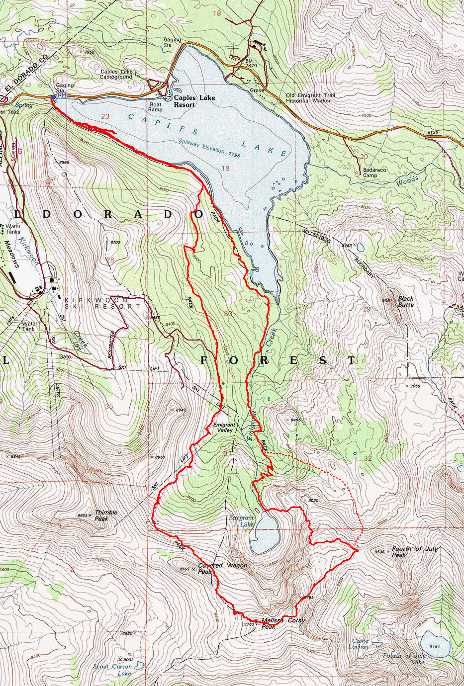
The dotted line is the "shortcut" that I gave up on

ADDENDUM
Click on the following links for some fascinating historical information:
