
Eldorado National Forest
|
Machado Postpile Eldorado National Forest |
June 5, 2013
This is the month where it is way too hot to walk in the foothills, yet too early for most hikes at high elevations. In this dry year, there should not be much snow around here to get in the way.
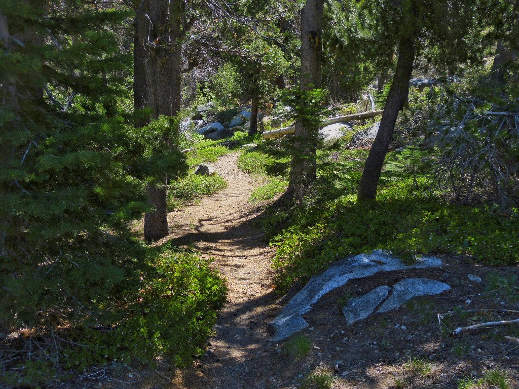
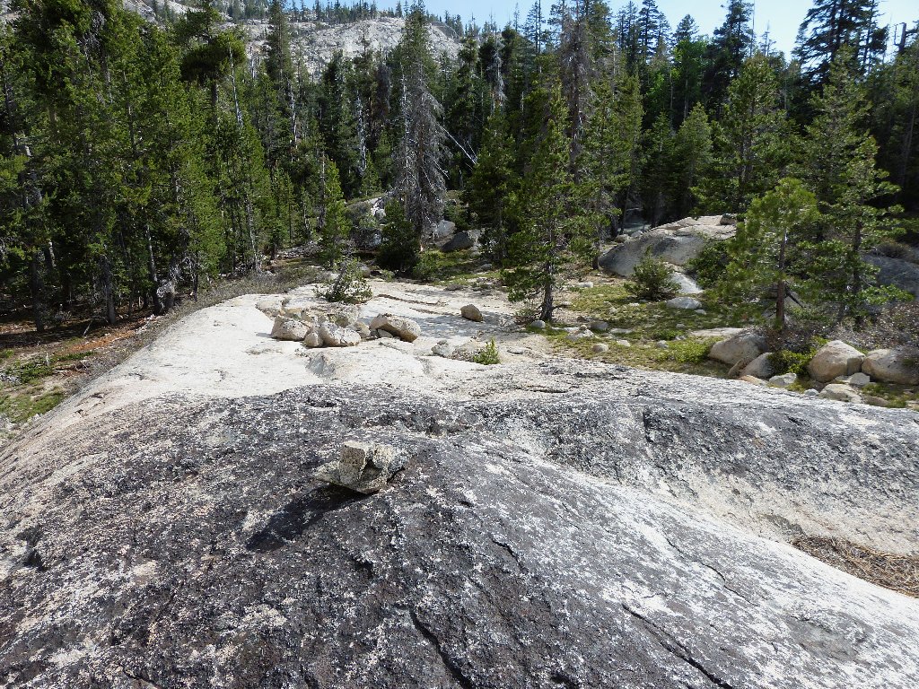
Getting started on the trail
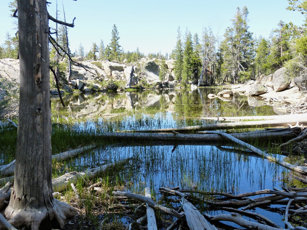
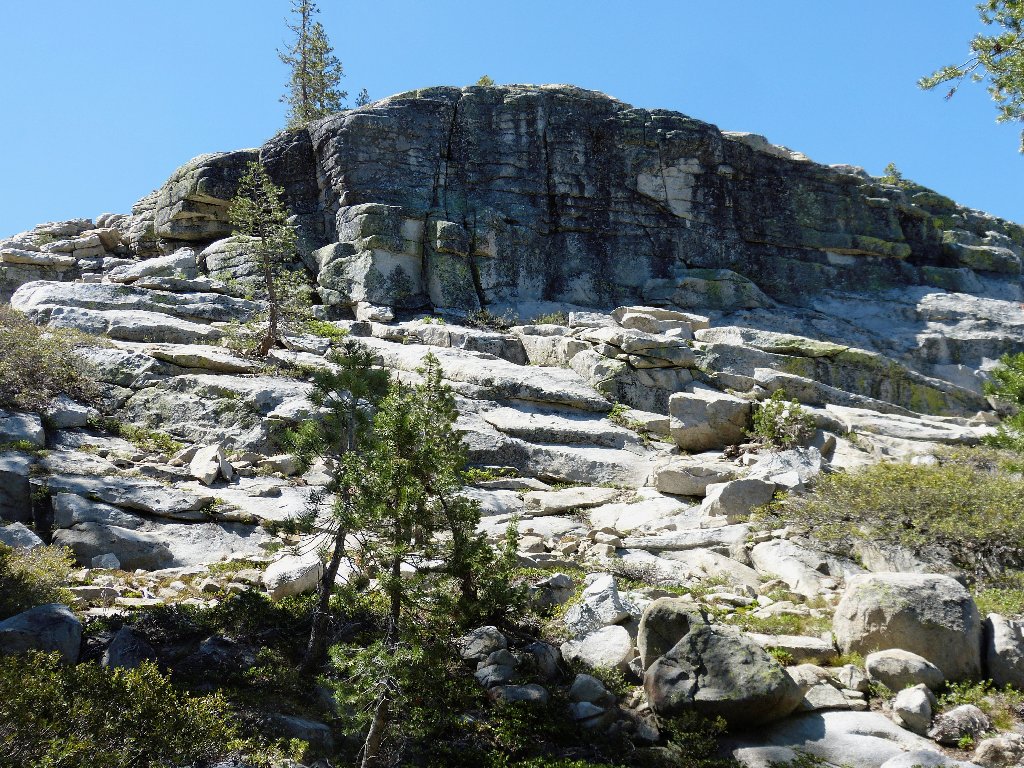
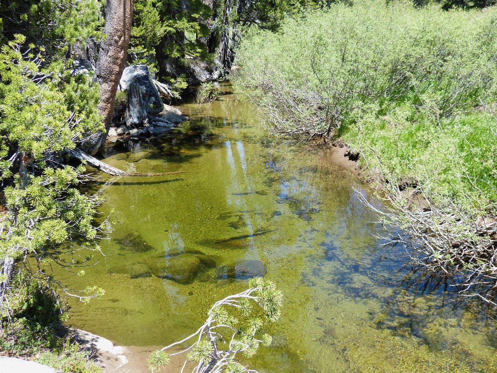
Pond #1
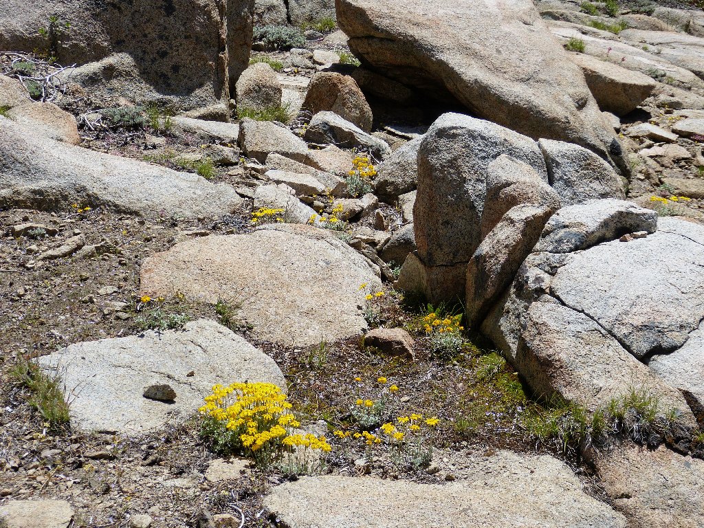
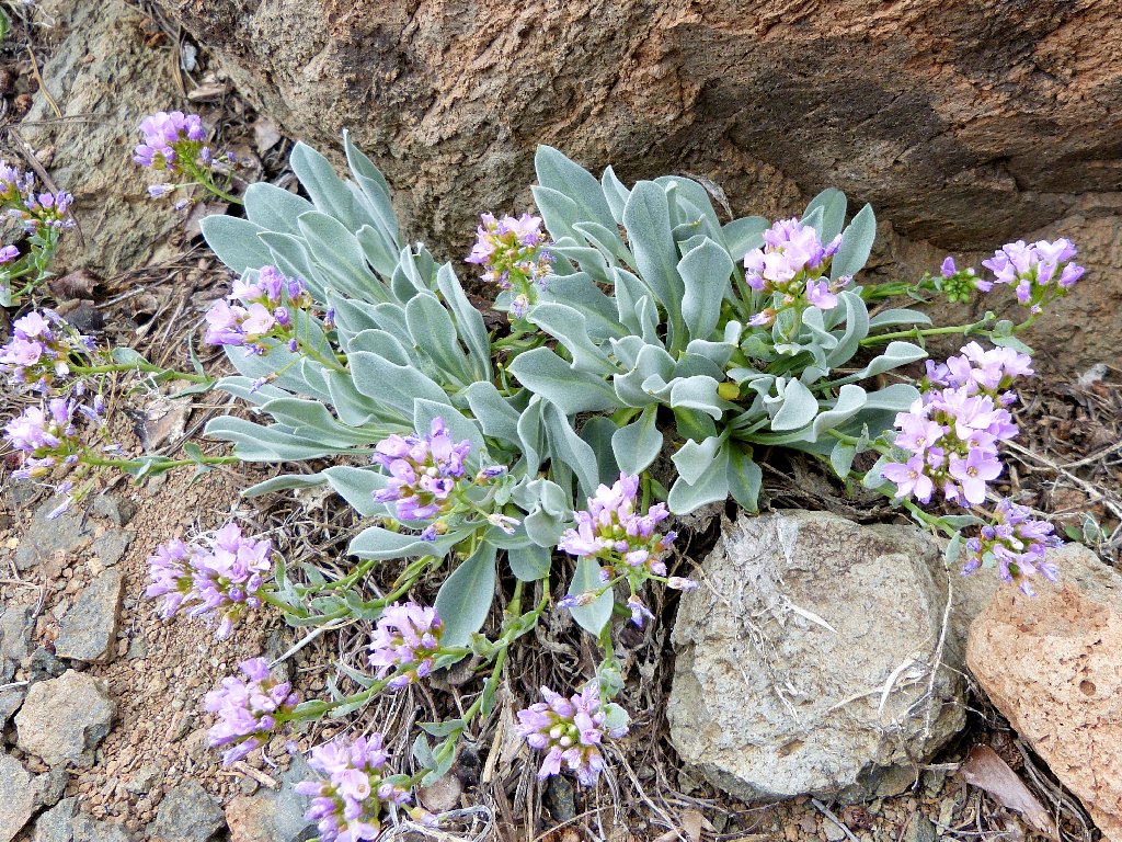
Early-season Woolly Sunflowers
My destination is a little-known rock formation known now as the Machado
Postpile. No official trail exists, but the presence of nearby Minkalo
Boy Scout Camp suggests that some sort of route will be available.
The plan is to visit a pair of lakes as well via an enterprising
cross-country loop.
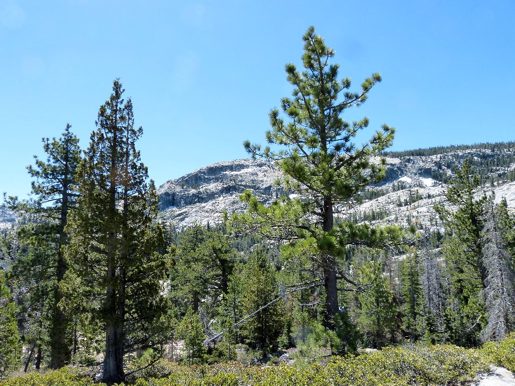
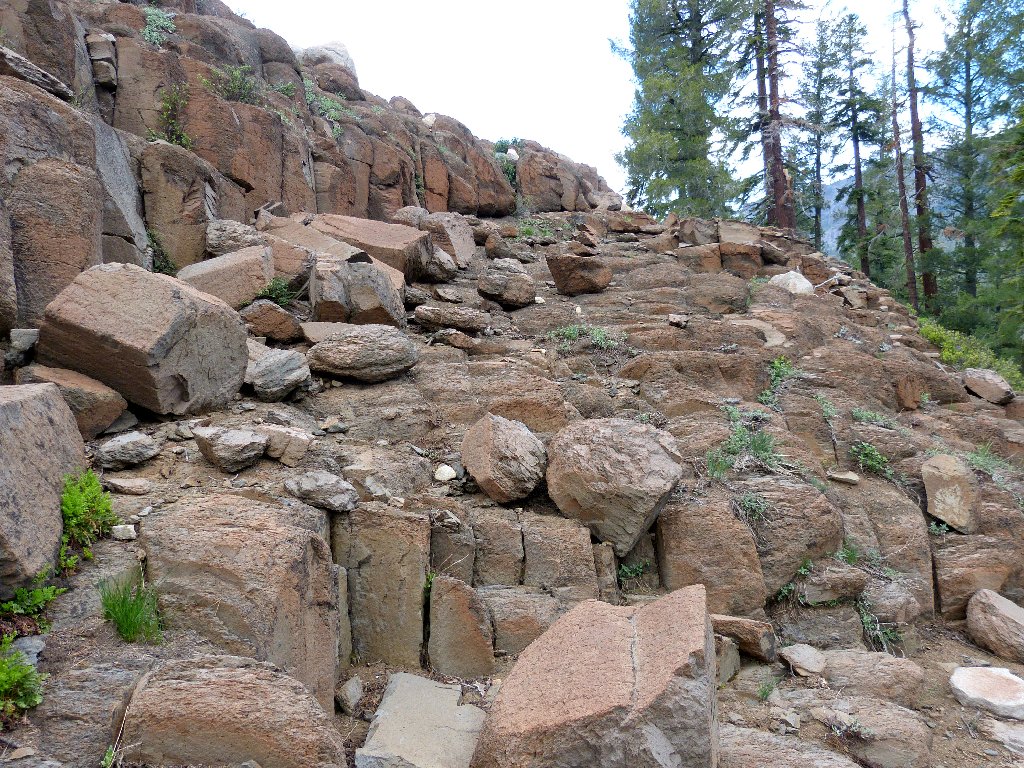
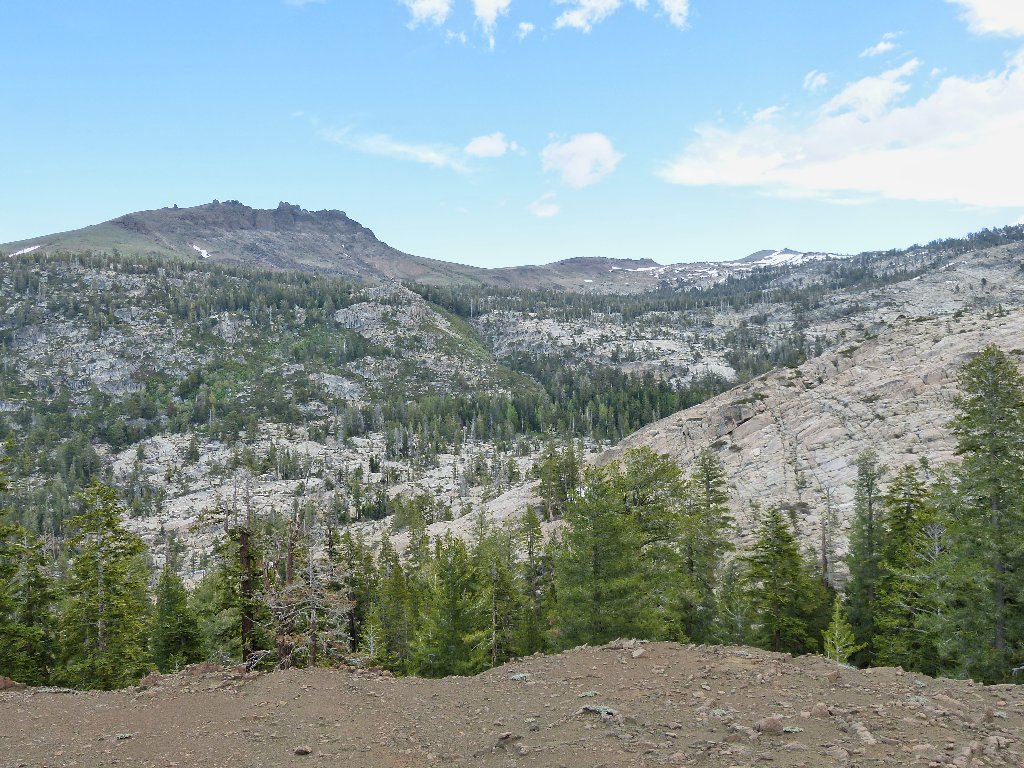
The destinations are behind Squaw Ridge
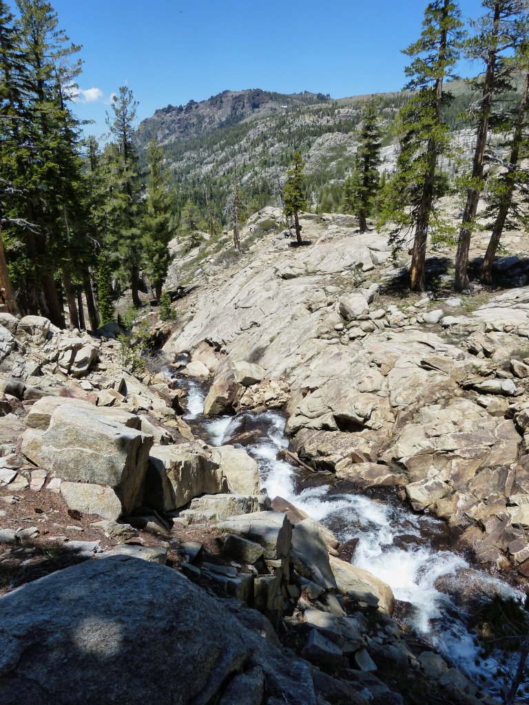
After starting up the Granite Lake Trail, I head east within ten minutes. Shortly I begin to encounter a lot of running water, which of course always is in favor with me.

June is a good month for water
Pieces of trail do indeed exist, and many sections are profusely marked by
cairns. As is often the case, however, it can be easy to lose track of a
lesser-used route — and I do.
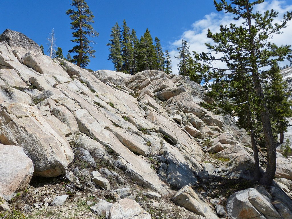
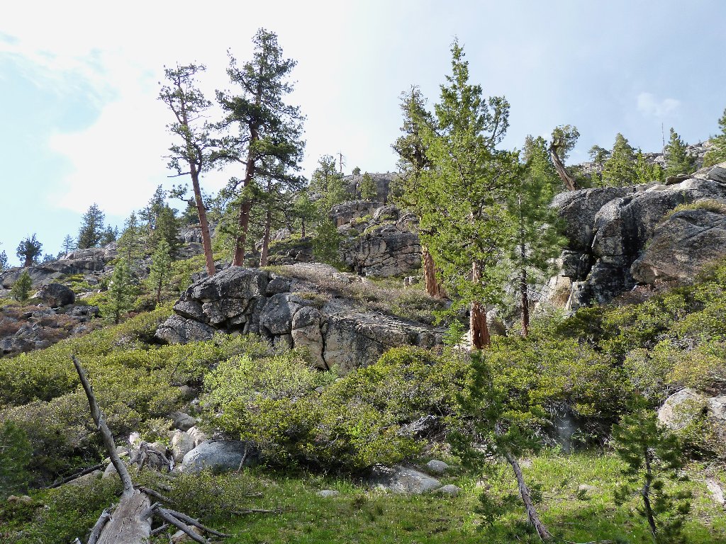
Usually the trail is where I make it
Squaw Creek drains the west side of Thimble Peak
Although any sort of established trail is, of course, easier to negotiate
than the alternative, I cannot spend all day hunting for one when I know the
general direction that is needed. My mapped GPS waypoints are more
important to me than man-made piles of rocks.
A mellow section
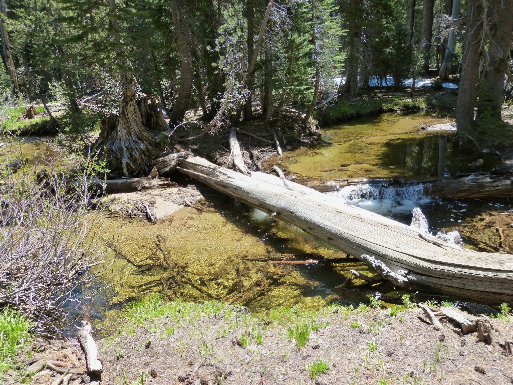
First log crossing
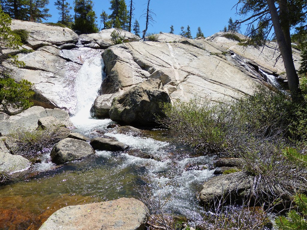
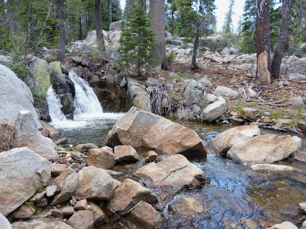
As I turn southward and scramble up a steeper canyon, the creek offers some great views.
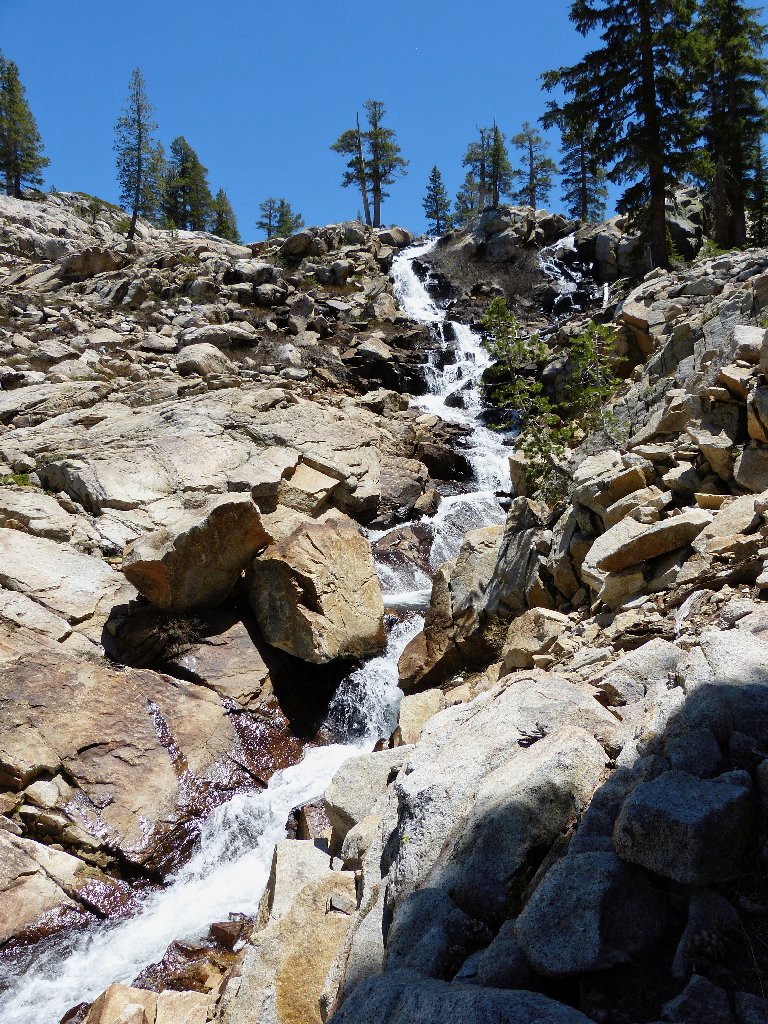
Summit Meadow Lake Falls
A perfect rest area
Unfortunately, June also is Mosquito Month in the Sierra. They are out in such force today that it is impossible to stop for rest without being swarmed, and I am badly in need of some rest stops. Because I inexplicably have packed only one mosquito repellent swab, it must be used sparingly.
Thunder Mountain in the distance
Being more inclined to move onward than to be eaten alive, I do not tarry here at the lake.
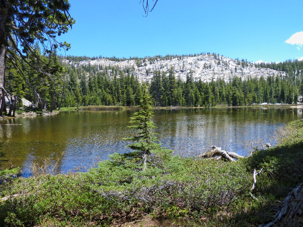
Summit Meadow Lake
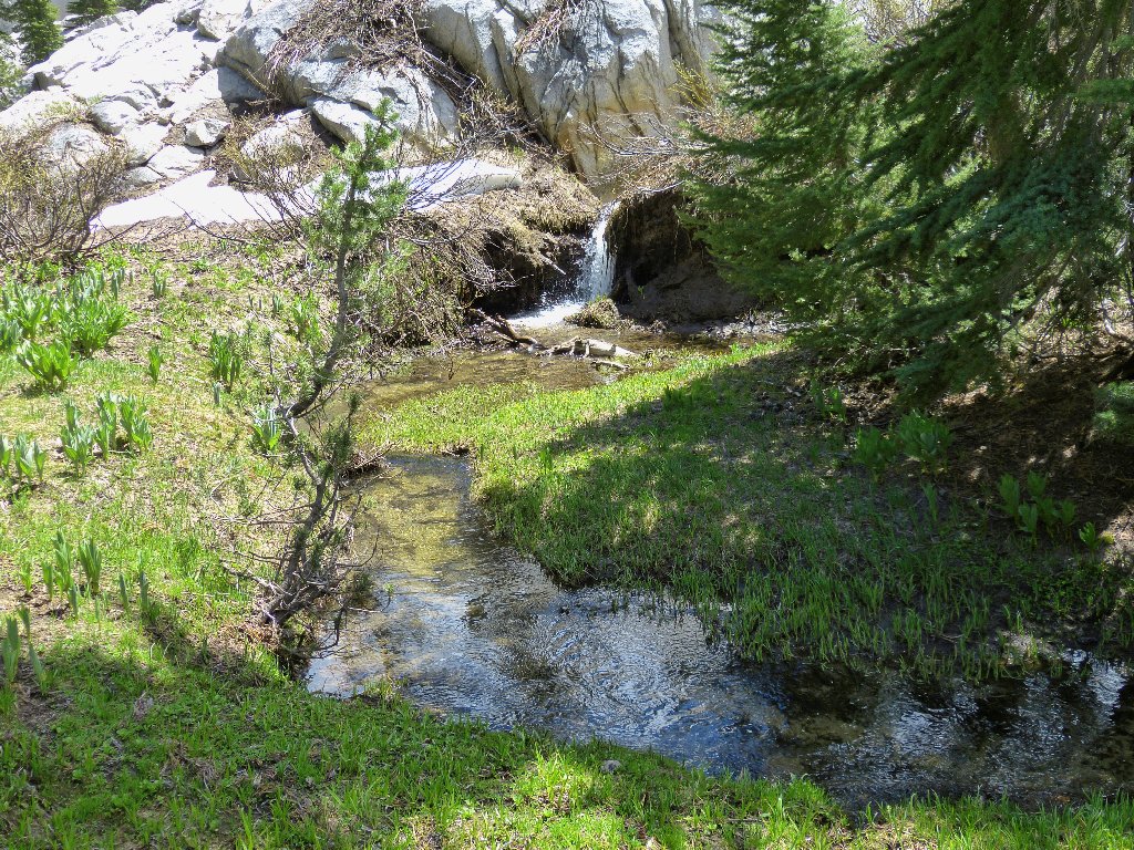
Pond #2
It should be a fairly flat scamper over to the next attraction;
but of course, nothing around here is fairly flat for very long.
This lake does prove quite a bit more attractive than the last one,
primarily because of the snow-covered cliffs directly above it.
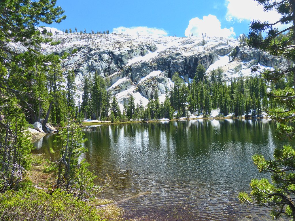
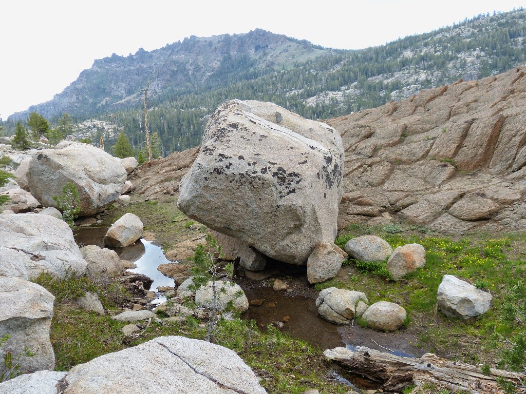
Devils Hole Lake
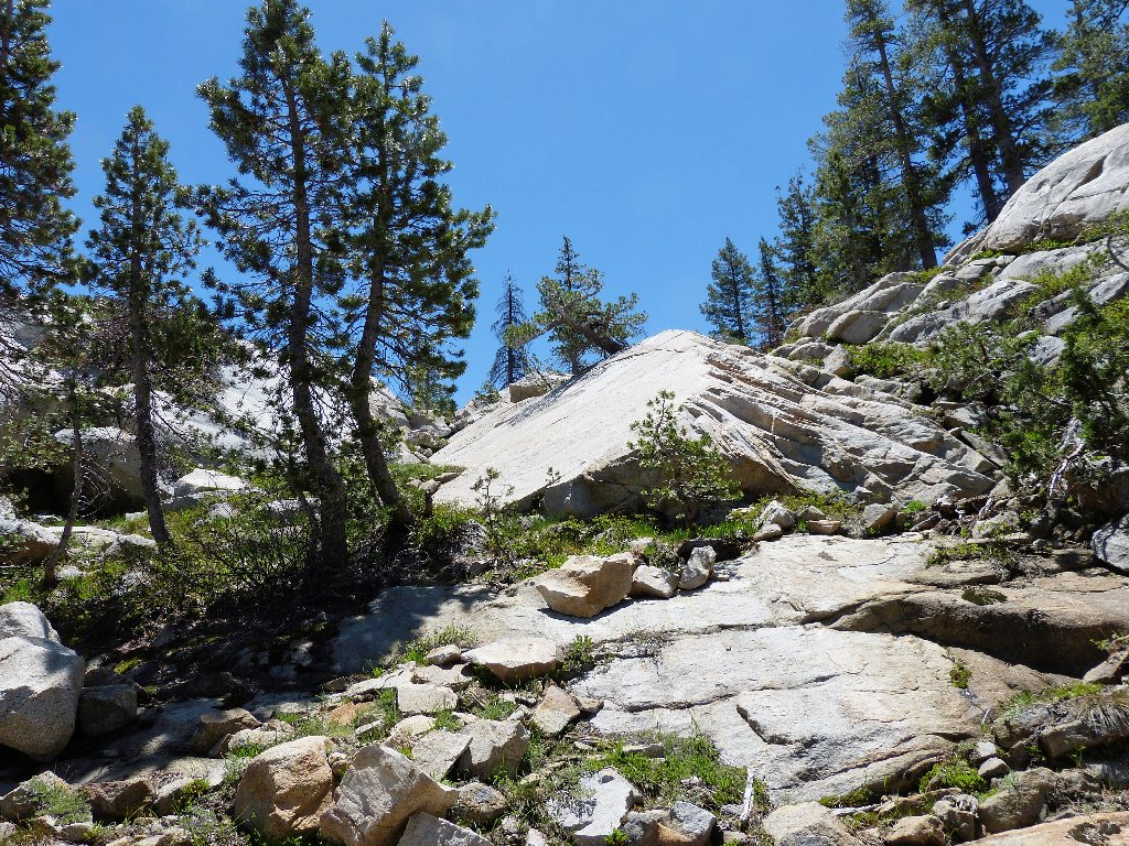
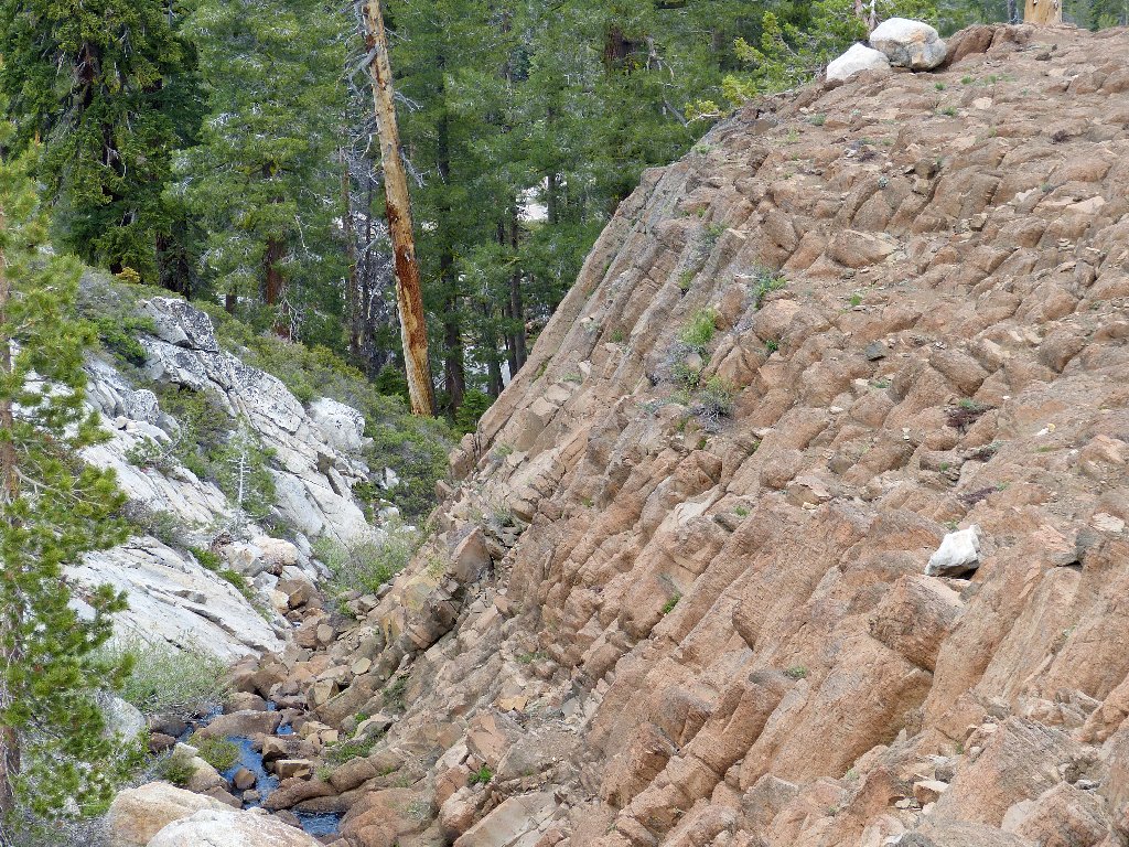
A jeep trail runs along the ridge top up there, just outside the Mokelumne Wilderness boundary; perhaps I'll check that out sometime. Meanwhile, I must head northward down a canyon that is steeper than the others. Several cliffs stymie my progress, but safe passage eventually is found through the obstacles.
One of the easier sections
My water-bottle system is working out perfectly. The ice cube in one
bottle lasts nearly all day long, while the carbon filter built into the other
bottle enables unlimited refills. This way I can have ice-cold
refreshment anytime without carrying extra paraphernalia that my pack has no
space for anyway.
Watering hole
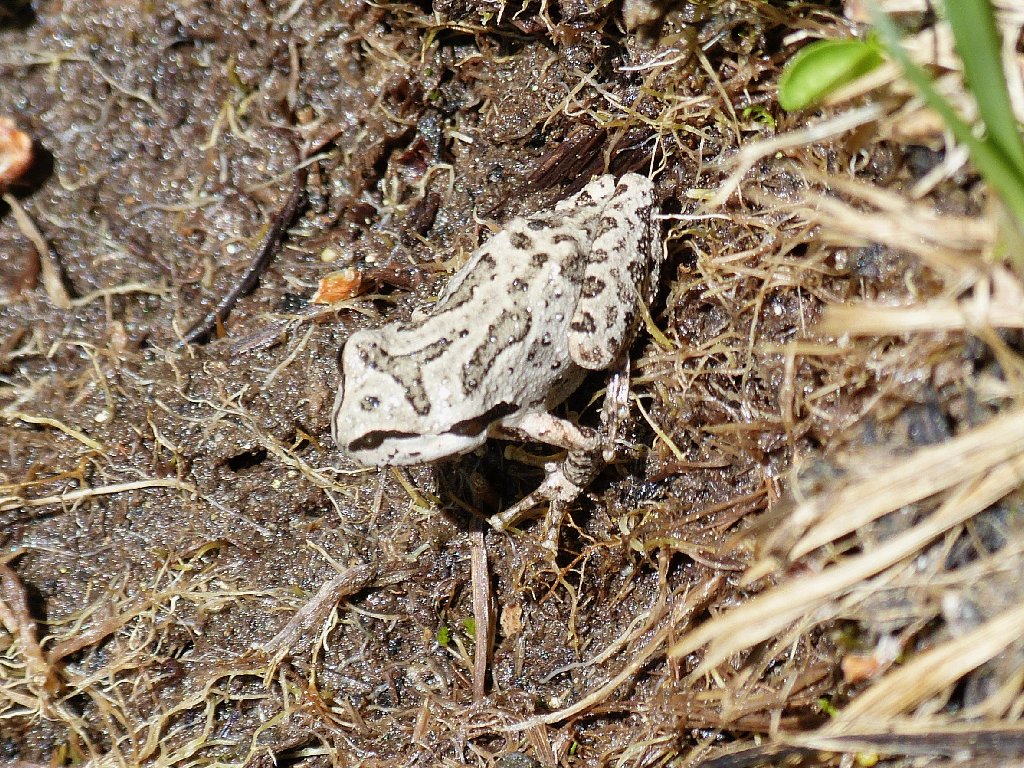
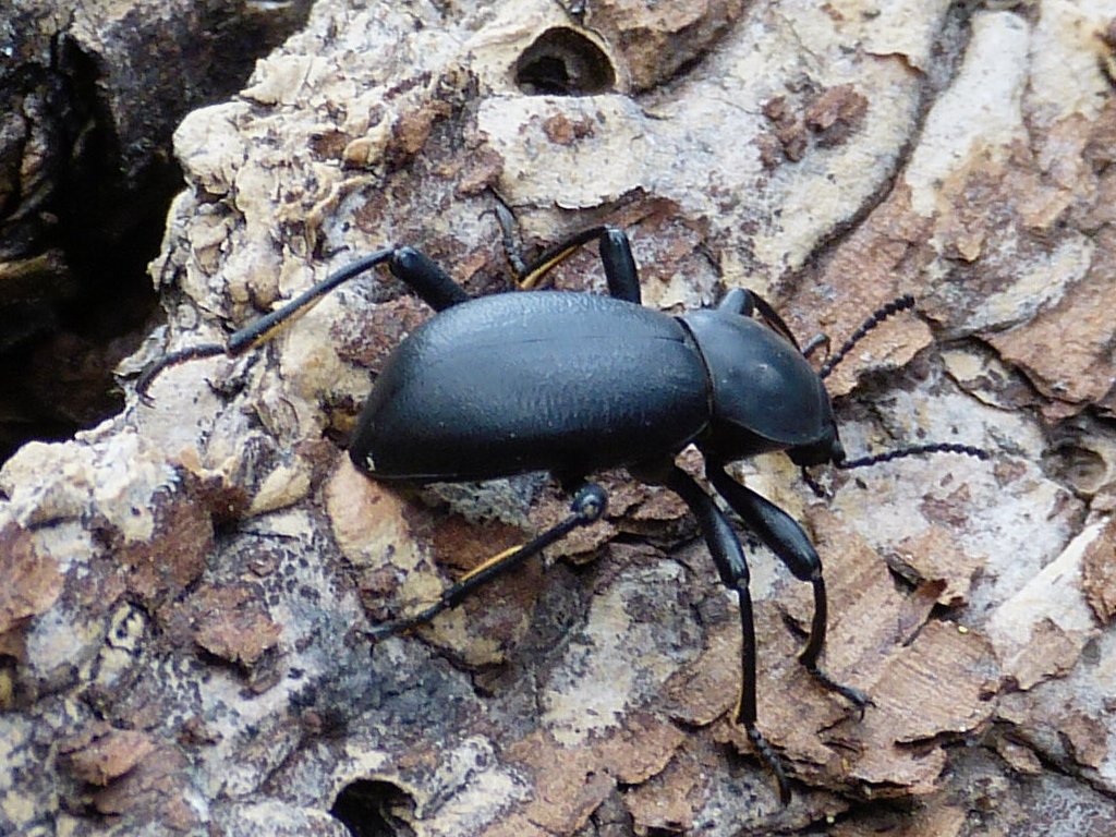
This friendly Pacific Tree Frog is but an inch long
More than a mile away I spot a swath of red-colored rock on the hillside. I believe that it is near the objective.
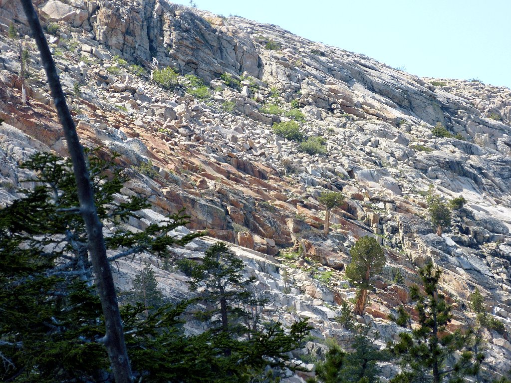
Orange coloration in the distance — a landmark?
Heading ever-downward, by remaining near the creek I veer too far east, which costs a good quarter of a mile of travel and a couple hundred feet of vertical scrambling. Needing to cross to the west of the creek, I suddenly drop my walking stick into the water, and it promptly floats away. By the time I can get downstream far enough to attempt a retrieval, it has disappeared. I have lost my second stick in a week's time! In this case, however, I am not upset. Just fifteen minutes ago I had broken the tip of that stick in a crack between two rocks, so its doom already had been sealed.
The stick-eating creek
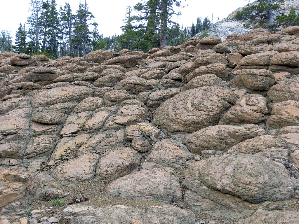
Nifty patterns in the rock
Just as I am beginning to wonder in earnest whether I actually will find the postpile, it suddenly appears as a brown spot surrounded by white granite. Within ten minutes, I am at the base of the rock.
First view of the postpile
As I stare upward, I hear a couple of thunderclaps. Trying to be sensible, I find a rock under which to stash my electronic stuff, and plan to wait out any sprinkles that might arrive. Because I am away from any standing water, the mosquitos are not bothersome over here.
Awaiting the downpour
This guy doesn't care
After half an hour, nothing has happened. The big cloud above me has grown even bigger and darker than before. Judging that the weather is more like to turn worse than better, I collect my equipment and clamber up the rock pile.
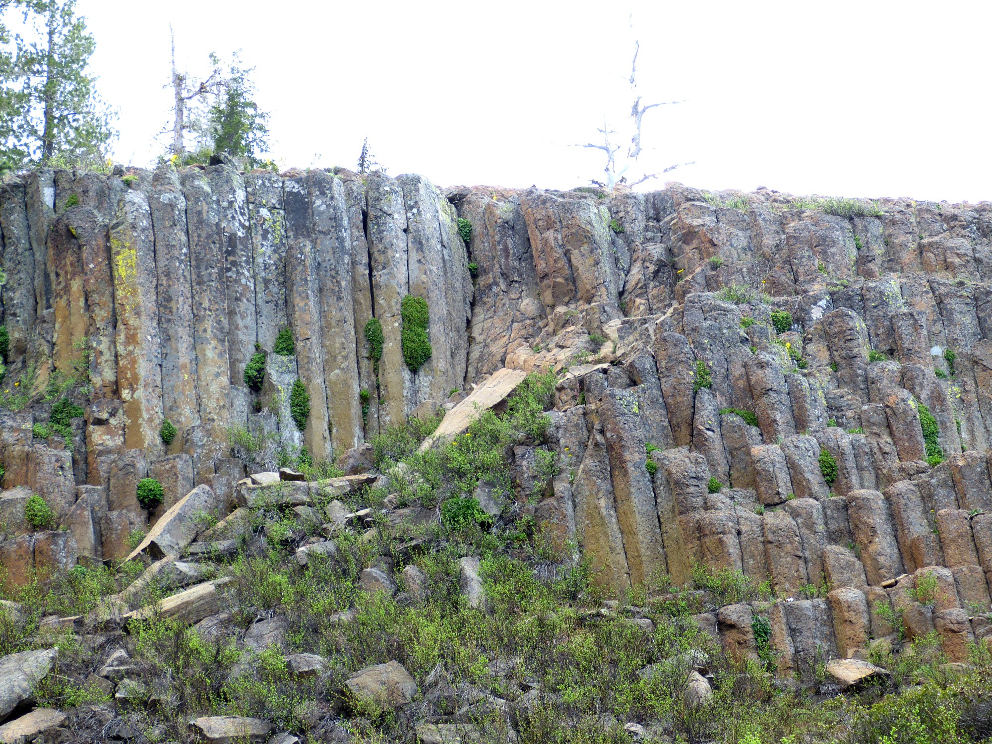
The Machado Postpile
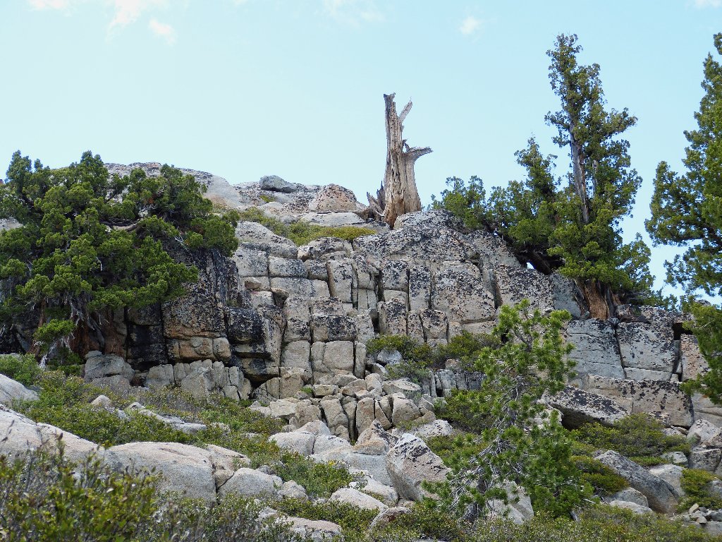
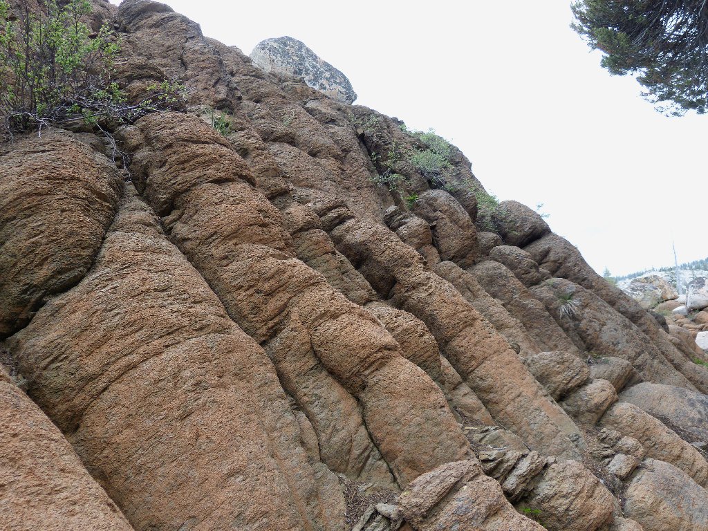
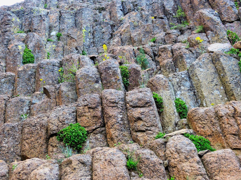
Atop the rocks are formations unlike any that I have seen. Over at Devil's Postpile National Monument, the top of the lava flow was sheared off by a glacier; shapes such as these are absent there.
The tops of the vertical columns
So what is going on here? Long before the Sierras had even begun to grow,
this lava was deposited. Under perfectly even conditions, the cooling rock
would have cracked into a natural grouping of 6-sided columns. As it
is, there are four-sided and five-sided posts in evidence as well.
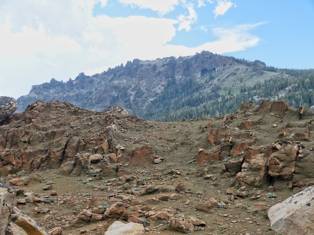
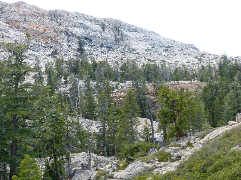
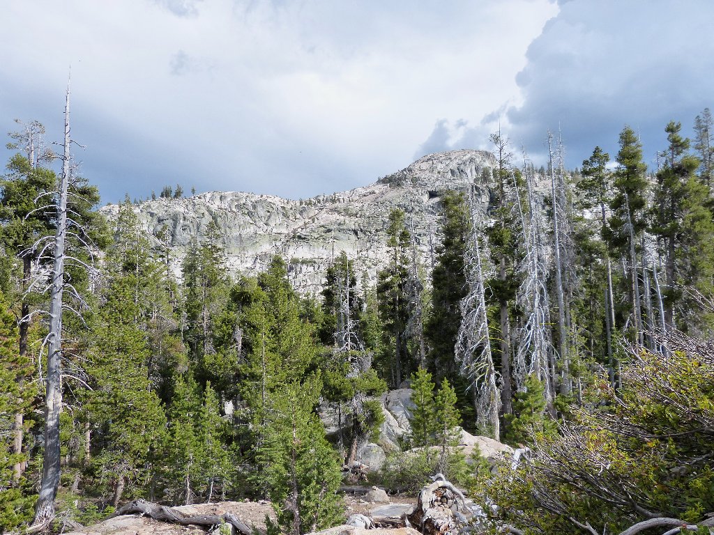
This place should be visible from the top of Thunder Mountain,
but I guess it isn't obvious
This mound is quite a bit bigger and many millions of years older than its more famous counterpart over by Mammoth Lakes.
Left to right: Thimble Peak, Covered Wagon Peak, Melissa Coray Peak
There's a lot of Old-West history over that way.
Amazing shapes
Delicate balance
There are only two flower types on the rock today, and they are closely related:
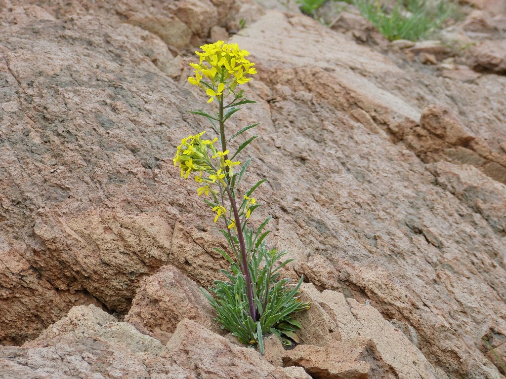
Western Wallflower
Dagger Pod
The 'back' side of the postpile
It is time to start back. I see no easy way down over here,
but there is a reasonable passage over on the northeastern side of
the mound that necessitates minimal boulder-hopping.
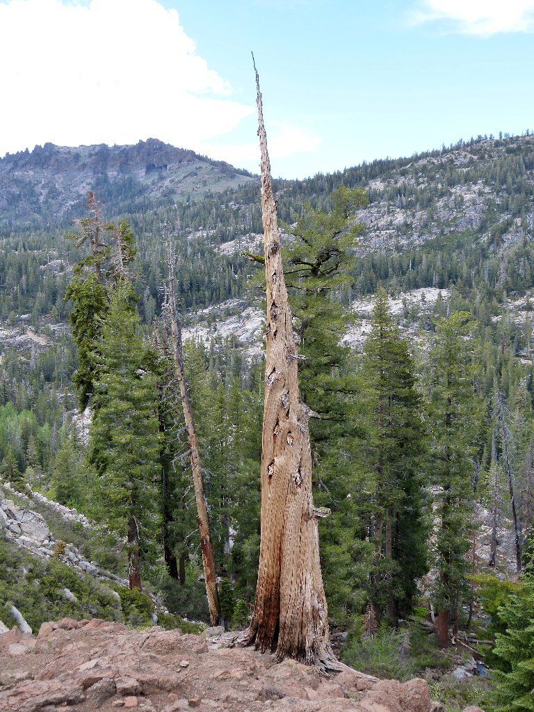
For my Unusual Trees collection
Wonderful textures
Jess Machado, a career employee at Camp Silver Lake and lifelong explorer of the area, discovered this place in 1934. Being loath to publicize his finding lest it become overly popularized, his claim was disbelieved and ridiculed in any case. It wasn't until 1990 that a hiker couple, Roger and Kahterine Blaine, brought this area to national attention. Their considerable subsequent efforts to have this special place named in honor of its discoverer were successful; newer federal topographic maps are slated to feature the designation "Machado Postpile". Unfortunately, Mr. Machado died in 1992, before any revised maps were printed.

The columns are 30-40 feet high
This is why I go hiking ⇔
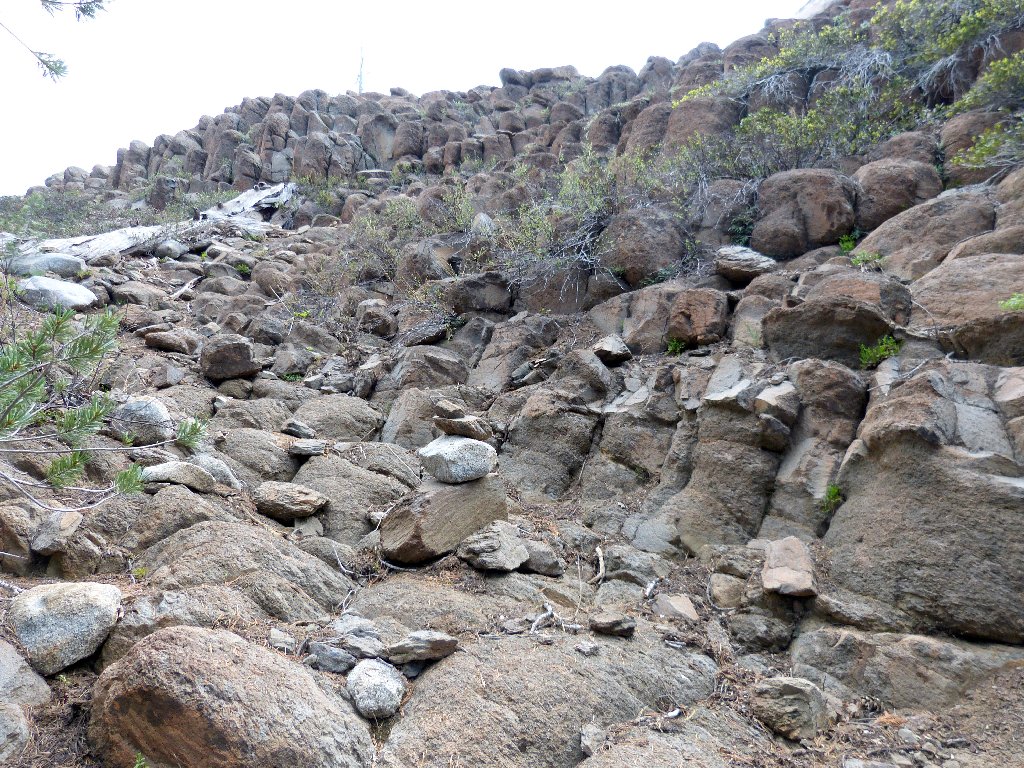
Getting out of here is not so easy, despite the presence of a use trail.
Veering too far westward, I end up clambering down a 50-foot talus jumble,
further aggravating my depleted condition. It's a good thing that I haven't
far to go.
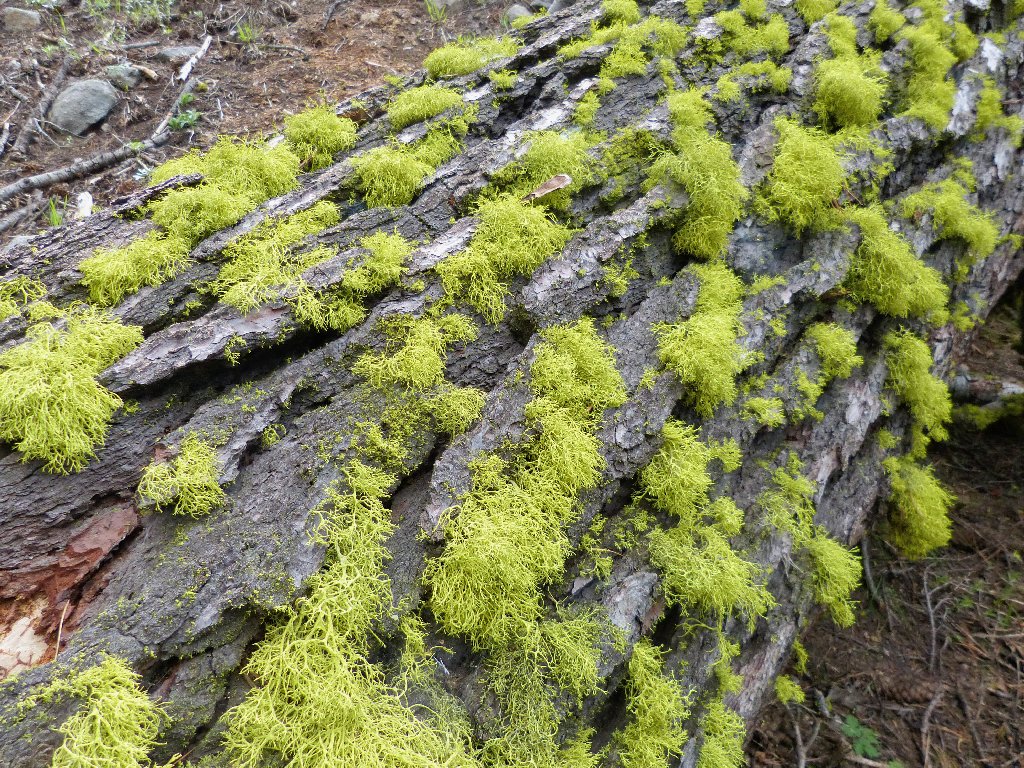
Waxpaper Moss
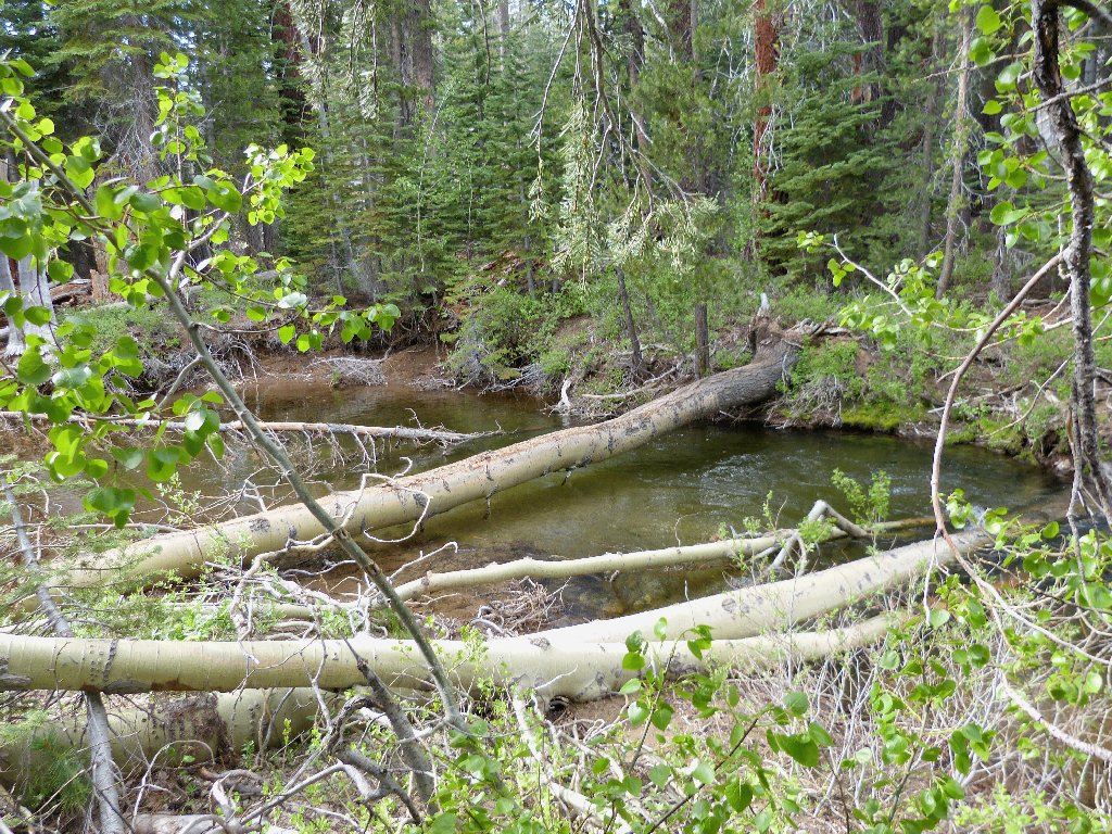
Second log crossing
The creek crossing actually is negotiated without a balancing stick and without needing to kneel or sit on the log. This is good.
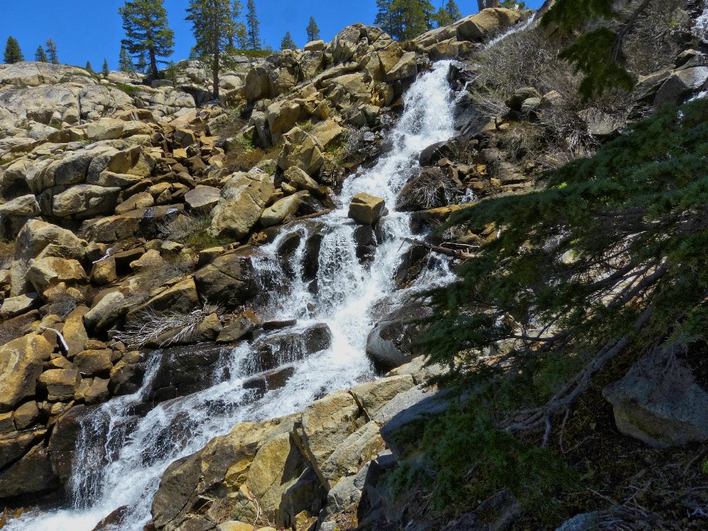
A storm definitely is brewing
As before, all the ducks are reassuring to find; yet keeping track of the trail seems even more difficult when traveling in this direction.
The trail is well marked
... or not
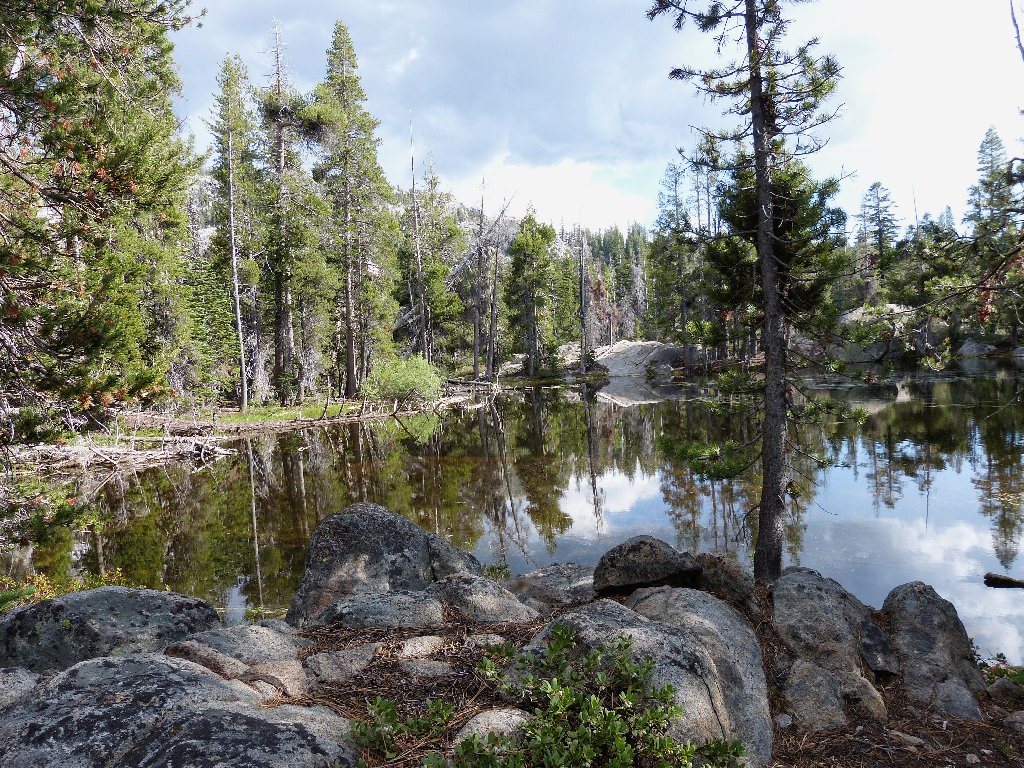
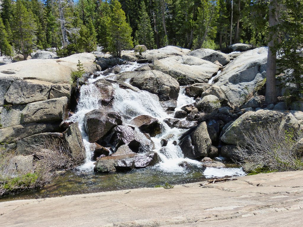
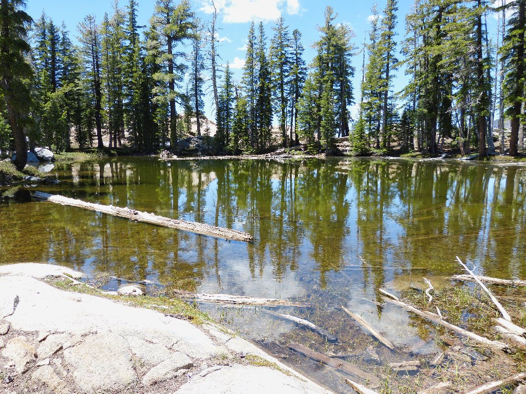
Pond #3
In fact, I don't see much of a trail again. Eventually, I simply head in the direction indicated by the GPS, needing to clamber over and under dozens of fallen trees in the process. I finally reach the car, thoroughly spent, after more than seven hours on the trail.
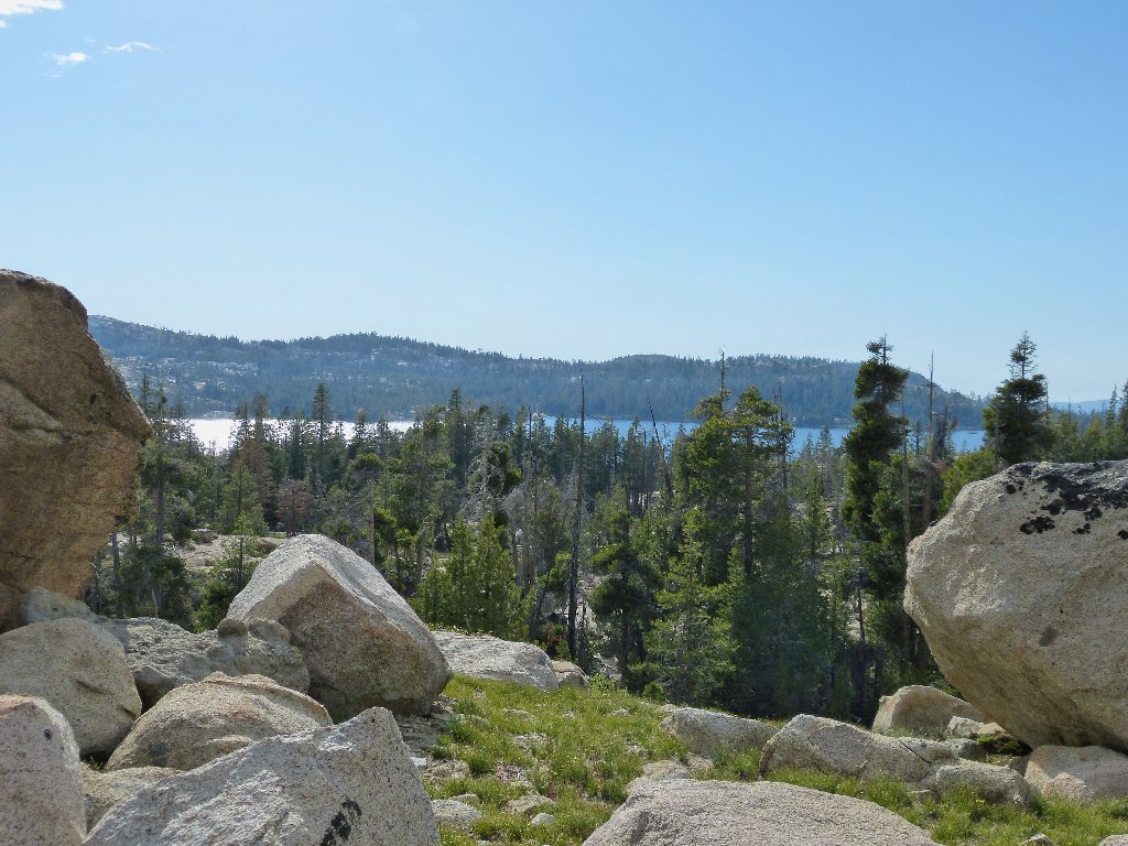
Silver Lake reappears for the first time
§: Well, I got more than I had bargained for today —
wonderful rushing creeks, a marvelous new discovery, and an unprecedented amount
of bushwhacking and route-finding. I would not have cared to try
this trek without a prepared mapping of GPS waypoints.
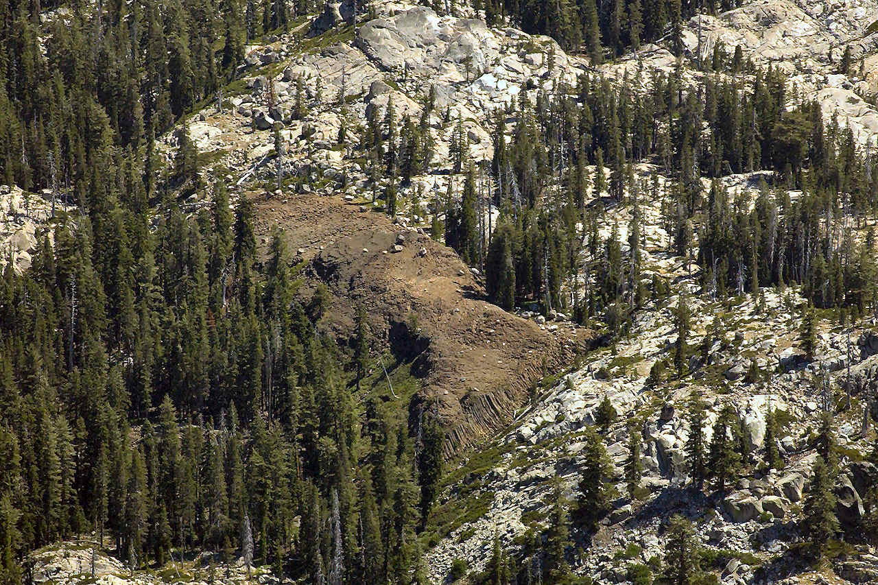
The Machado Postpile is so uniquely situated that it tends not to be seen during an approach until one climbs up right next to it. Even someone doing a trek up to Devils Hole Lake might travel right by without spotting the formation, as evidenced by my errant detour.
The fact this this place remained largely unknown until 1990 is reminiscent of Hidden Arch in Zion Park; although both that arch and its opening are plainly visible from the highway, it was not officially recognized until 1998. This postpile is in clear view from a point on the Horse Canyon Trail, and the northeastern corner of it is visible from the use trail I was on today.
I did find a replacement Mountainsmith Camera Monopod walking stick at Sierra
Trading Post, at the unbeatable price of just $18; I'm back in business.
| Scenery |  |
| Difficulty |  |
| Personality |  |
| Adventure | |
| Solitude |  |
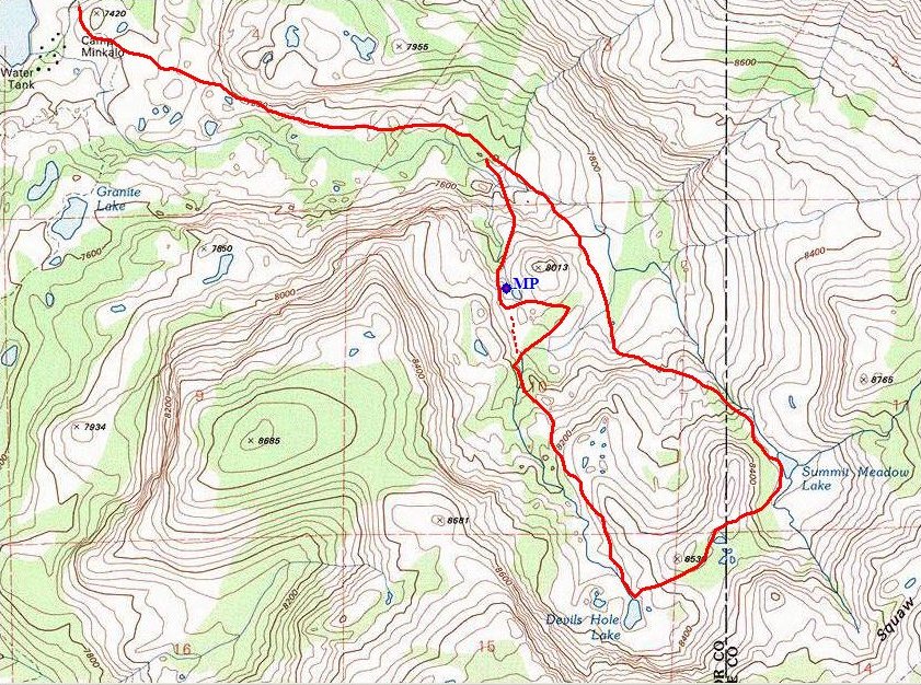
My proximate route (clockwise loop)
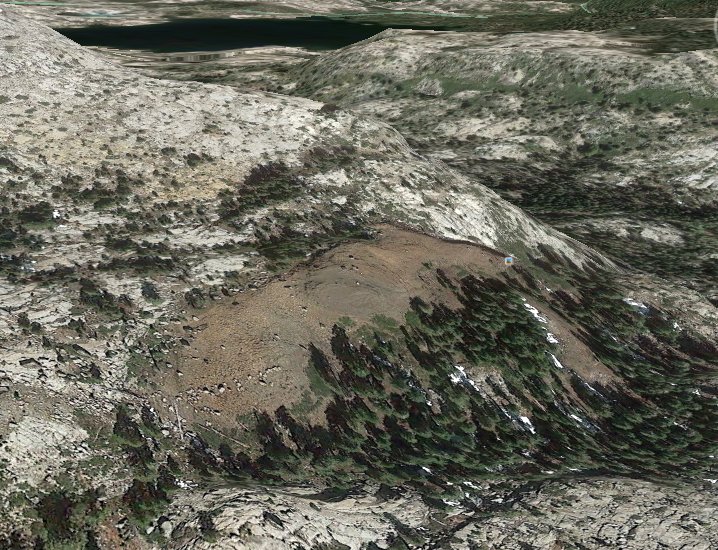
Google Earth view, looking northwest
Certain others pluralize this formation's name as "Machado Postpiles", which makes little sense to me. There are many posts, but only one pile. You can read more about Jess Machado and the history of his discovery here:
http://www.sierraclub.org/mother-lode/delta-sierra/machado-postpiles-history

ADDENDUM 2021
Having just discovered this journal, David Skinner from Boise sent me an email detailing his visit to the postpile back in 1972, during a class field trip from San Joaquin Delta College in Stockton. According to the linked Sierra Club article, that would have been 18 years before the Blaines made contact with Jess Machado for the first time; it's a shame that the geology instructor did not look him up much sooner.
David's email has reaffirmed my contention that the postpile really could not have gone utterly unnoticed for all those decades, if only because it is in plain view from various locations such as this one:
Machado Postpile, shot by David Skinner in 2018 from the summit of
Thunder Mountain ⇔
