Vermilion Cliffs Wilderness, Utah
|
Buckskin Gulch & More Vermilion Cliffs Wilderness, Utah |
October 24, 2020
Having anticipated today's outing for quite some time, I am delighted to have a new
electric bike to help me combine several bucket-list items into one hike.
Parking at the Buckskin Gulch Trailhead, I pedal an additional four miles down Houserock
Valley Road to the Wire Pass Trailhead.
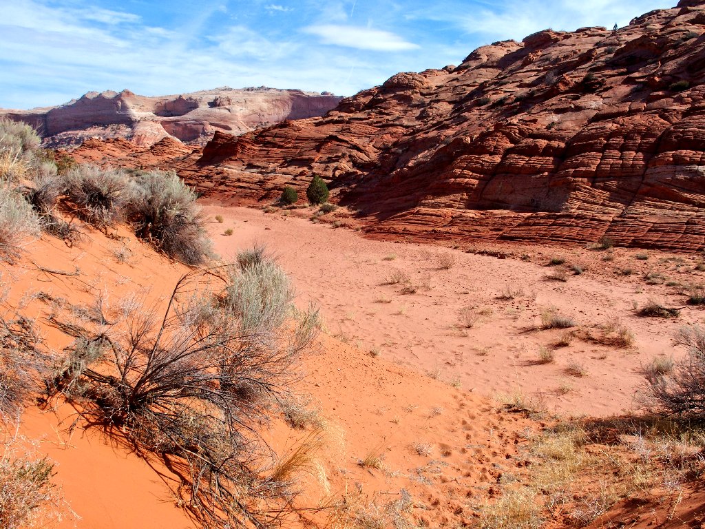
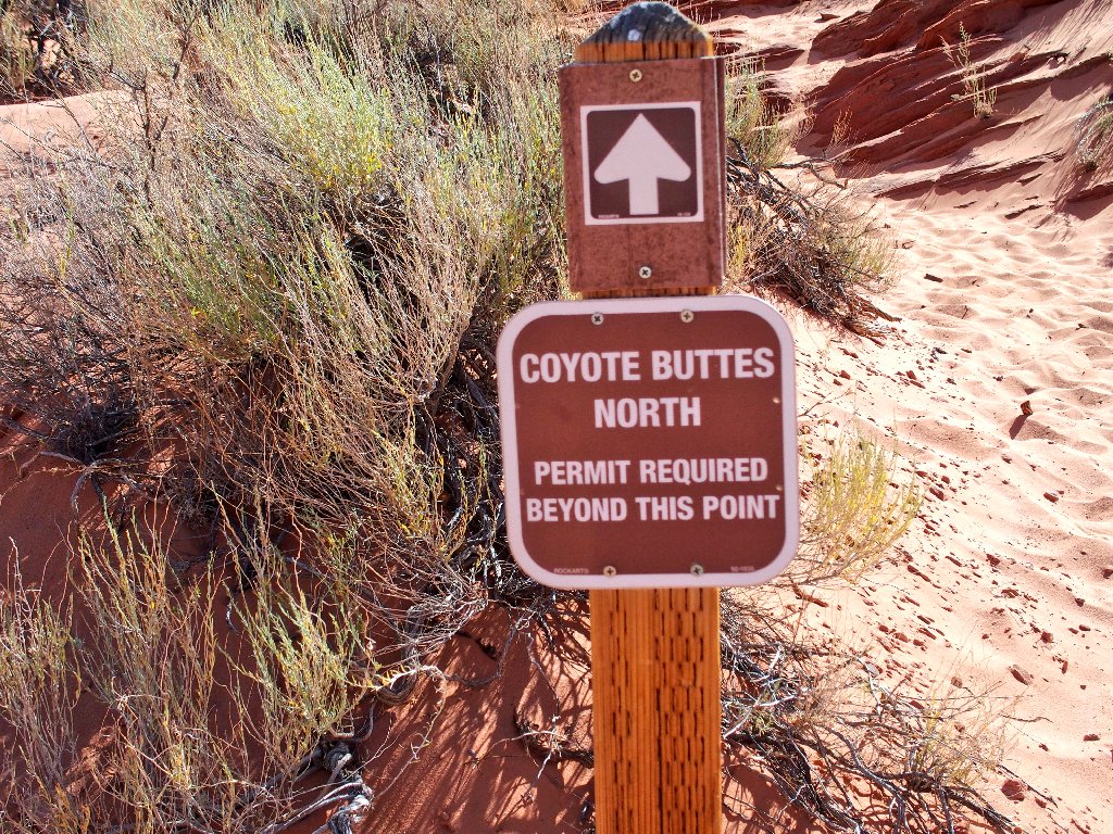
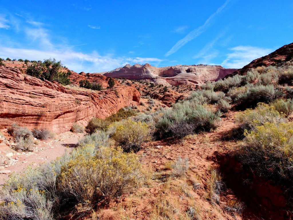
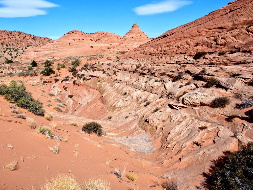
The parking lot here is by far the busiest I have seen it in three visits. Because only twenty people are permitted to access The Wave today, everyone else must be heading down into Buckskin Gulch, where I intend to follow eventually.
First on the list, however, are a pair of little-visited arches on the hillside above. Armed with presumably valid GPS waypoints, I set out hopefully.
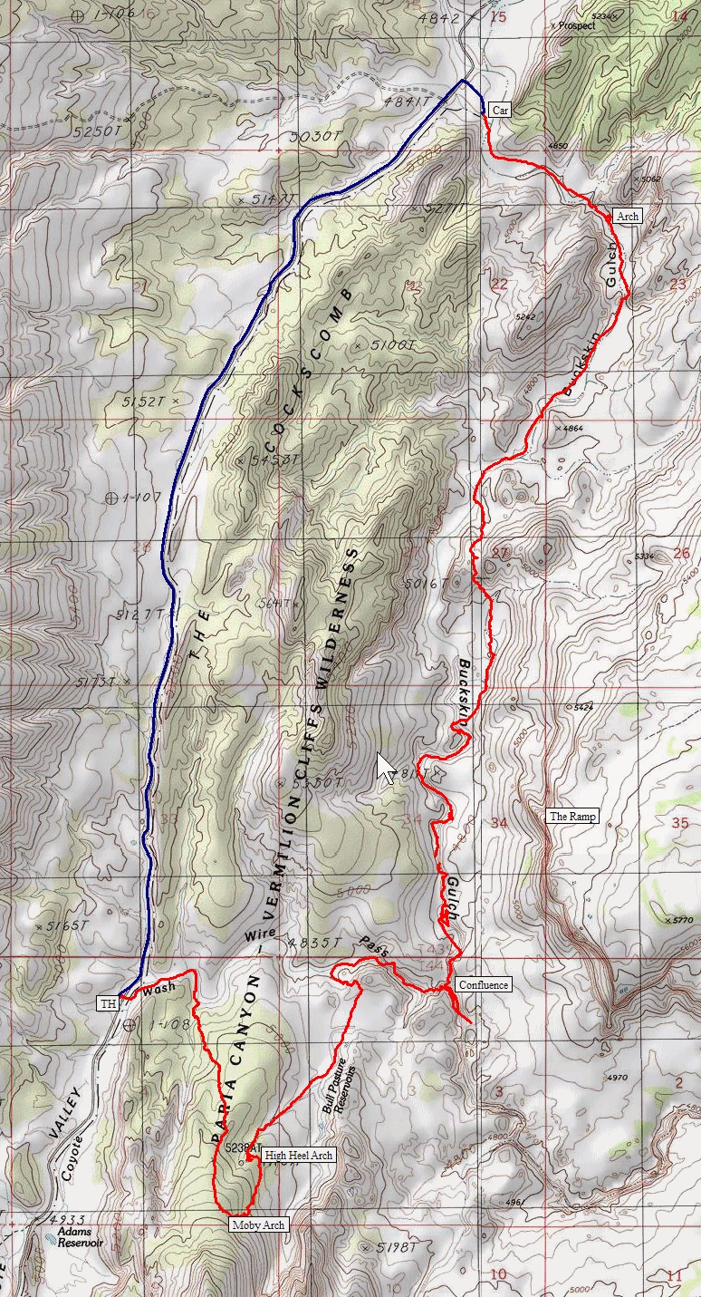
Starting out on the trail to The Wave
Around the first bend is what looks like a good place to depart the trail and head
cross-country up the hillside.
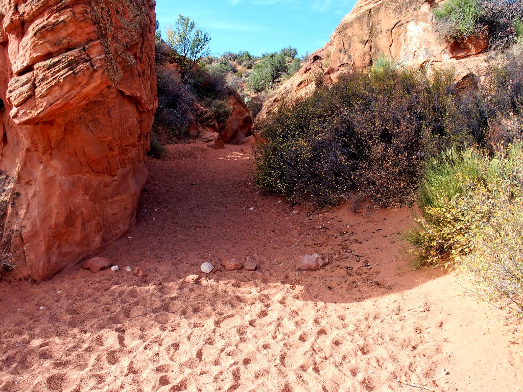
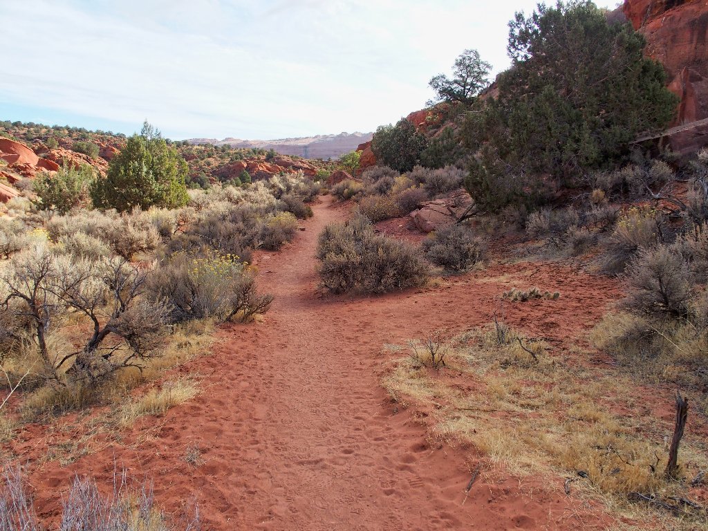
Few visitors go very far this way
This little gulch immediately proves interesting, but I cannot keep going on like this; I will need to climb about four hundred feet altogether.
Nice, but too much work

Starting uphill in earnest
The parking lot already is out of sight
Just going where the GPS points me
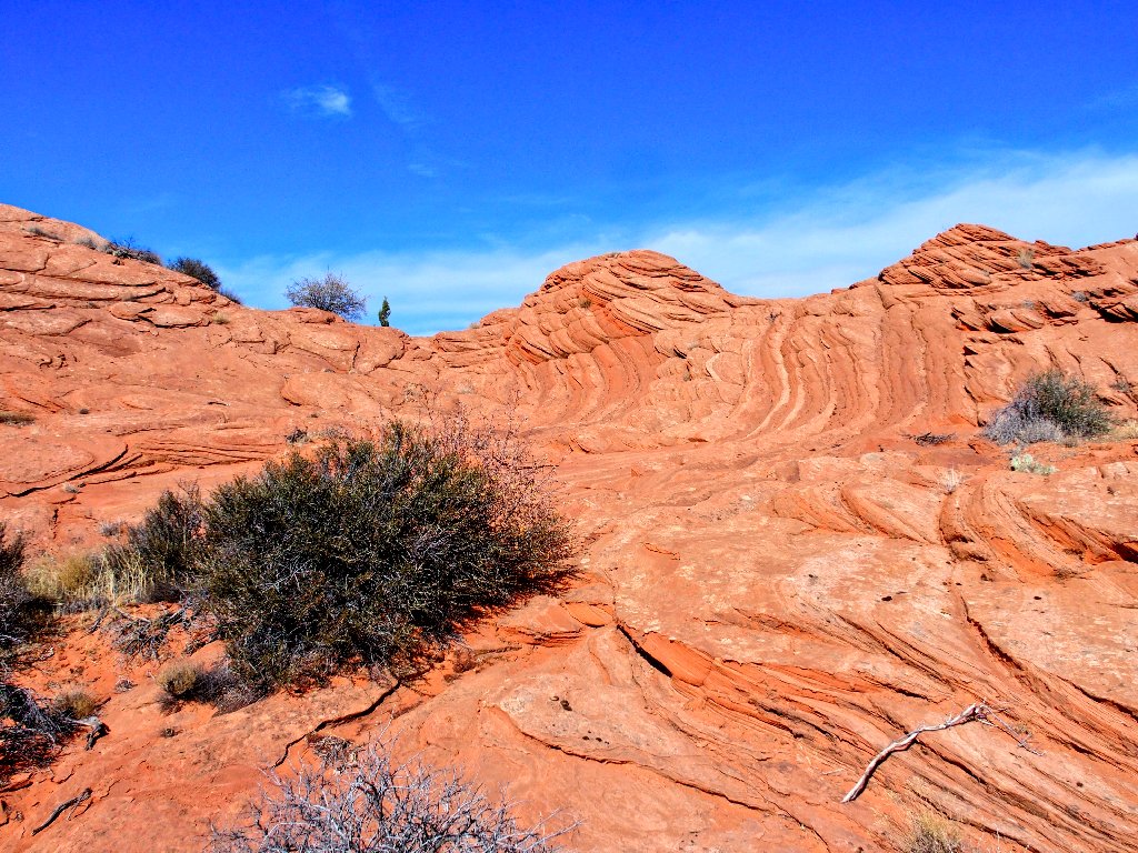
At times it is difficult to avoid stepping on cryptobiotic crust, but I believe that I manage it.
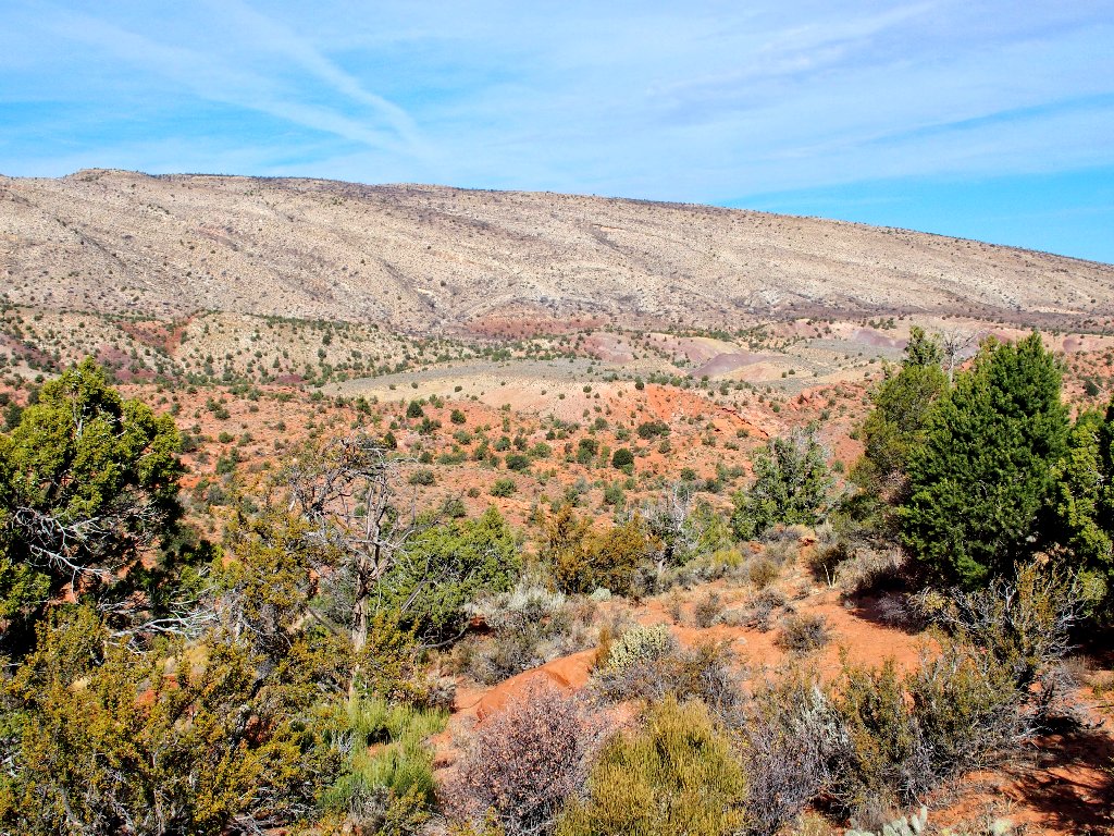
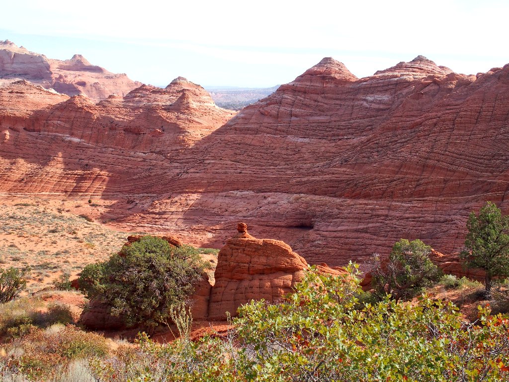
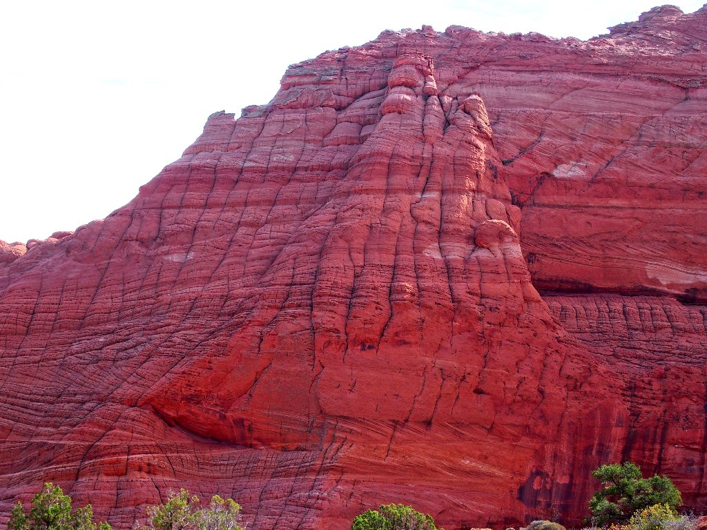
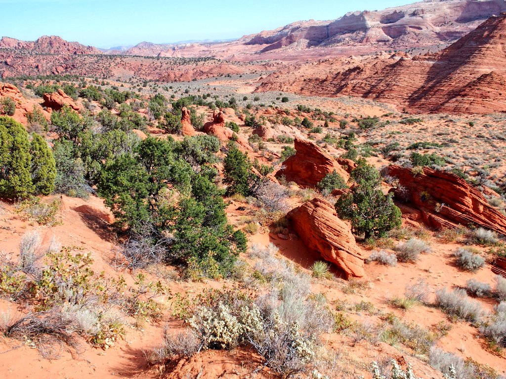
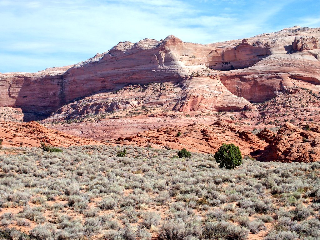
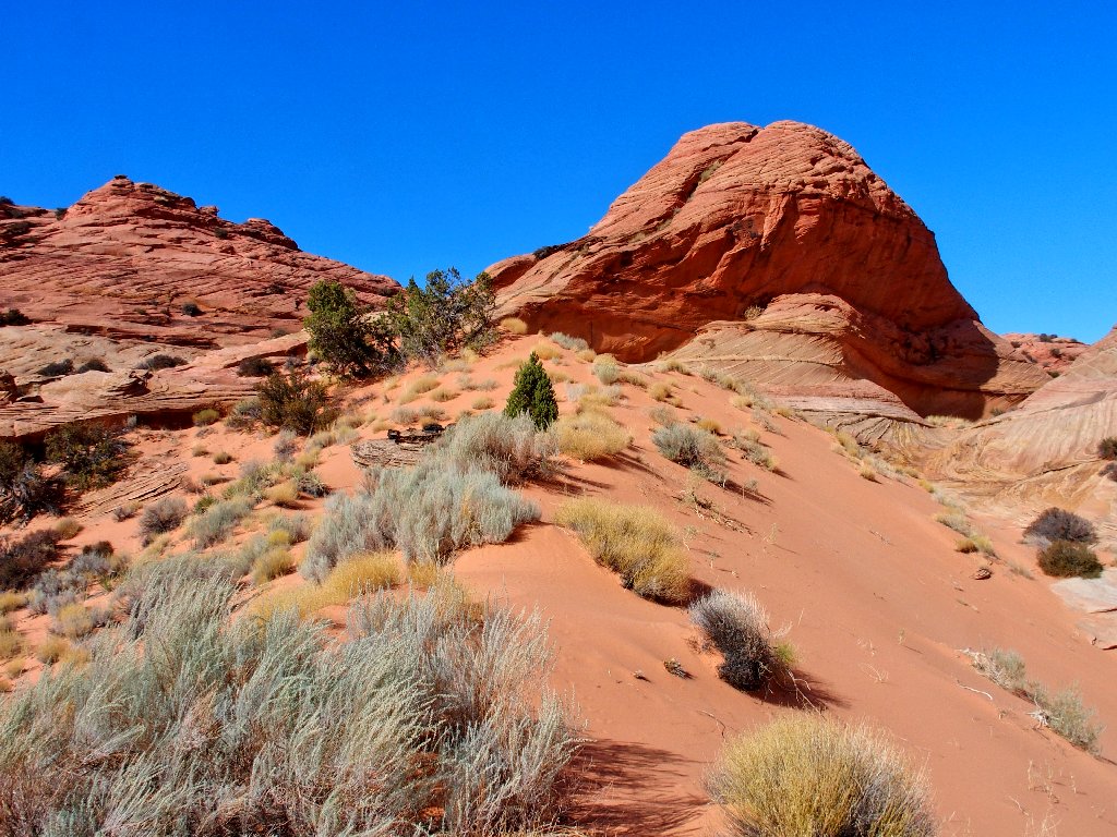
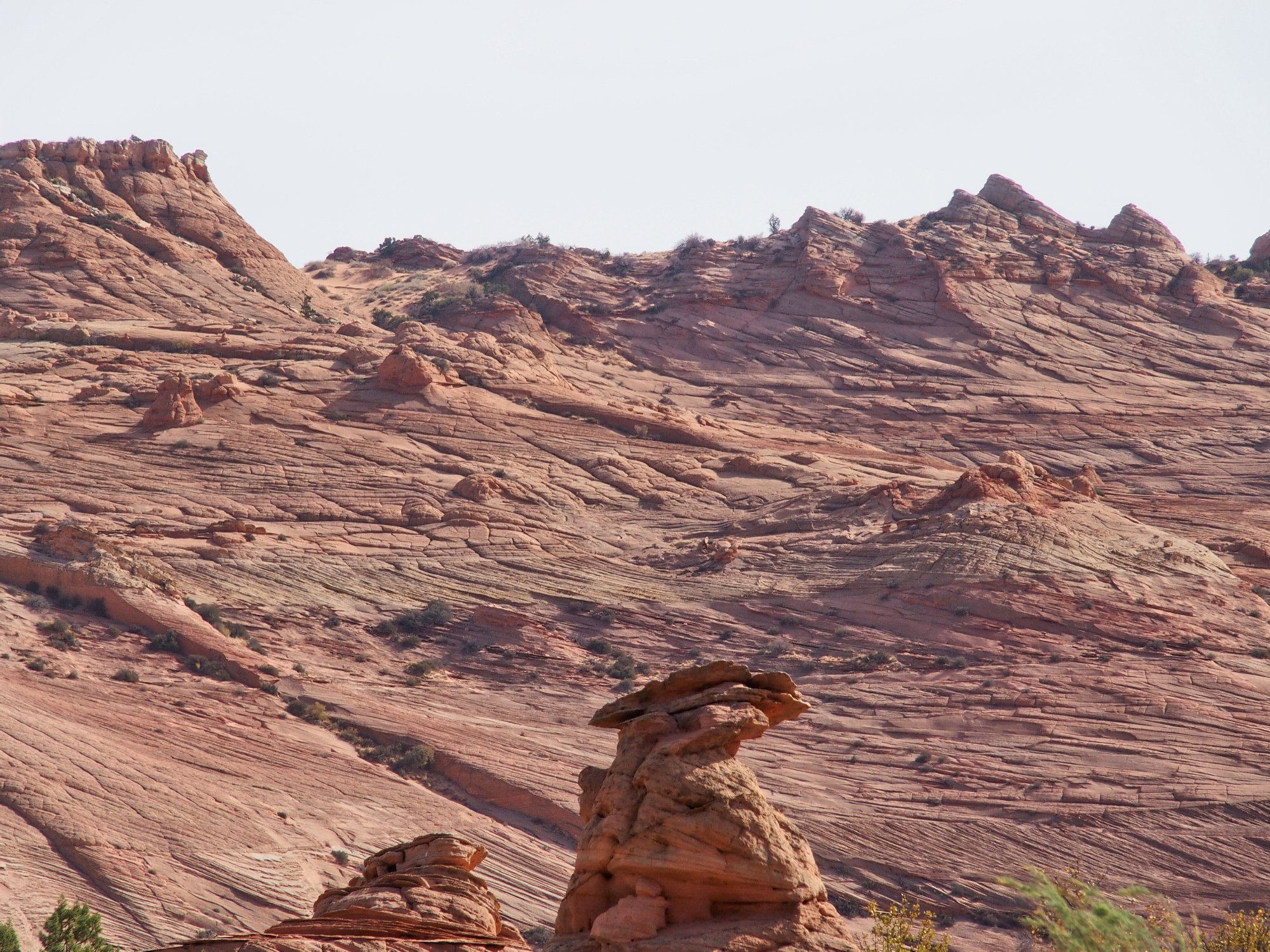
The majestic West Clark Bench is inviting me
The amazing and useful Ramp doesn't look so foreboding from this direction
Last year's ascent of The Ramp (Hike #440) was one of my most interesting adventures; but now, it is time to concentrate on the issue at hand. It seems that I already have climbed enough that it will be easier to visit the higher arch first. Heading directly for that waypoint works out perfectly.
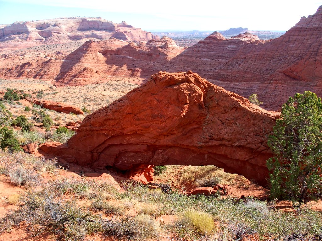
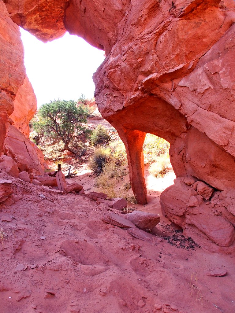
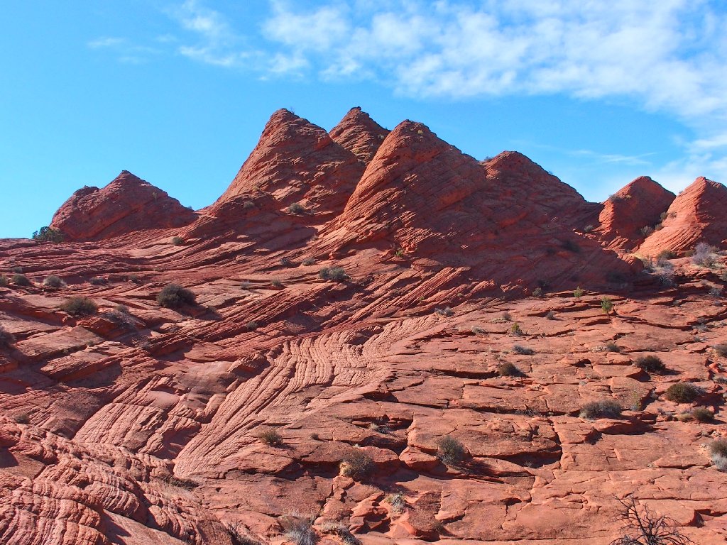
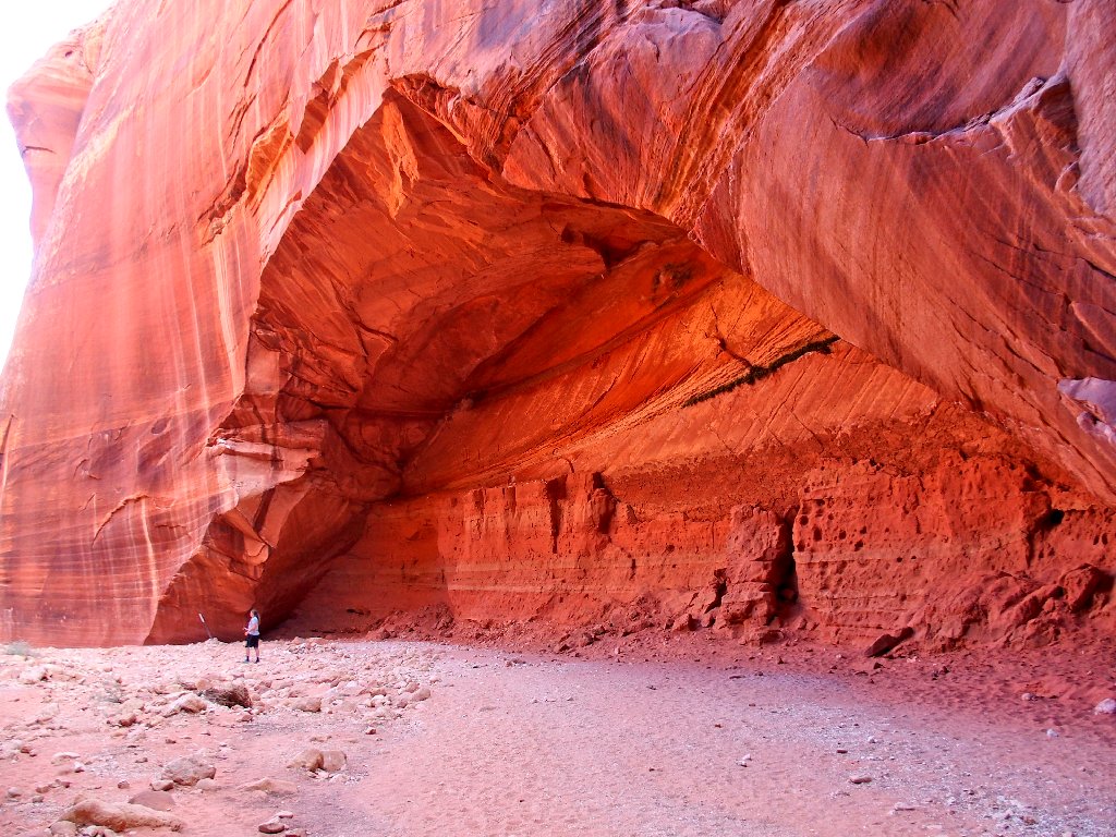
Moby Dick Arch
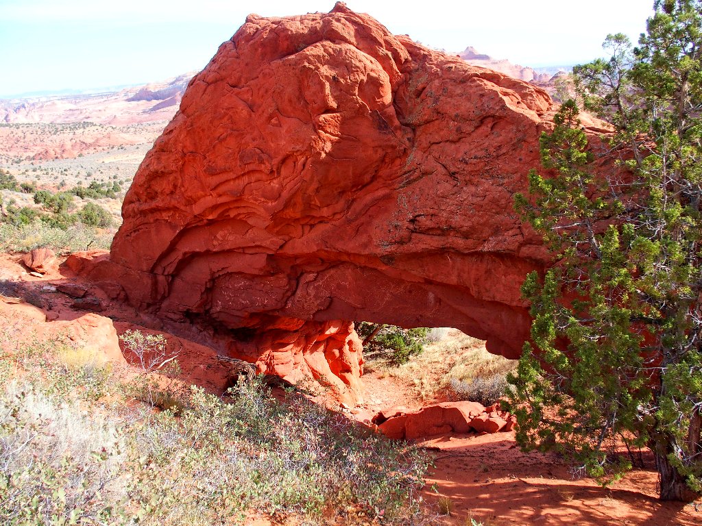
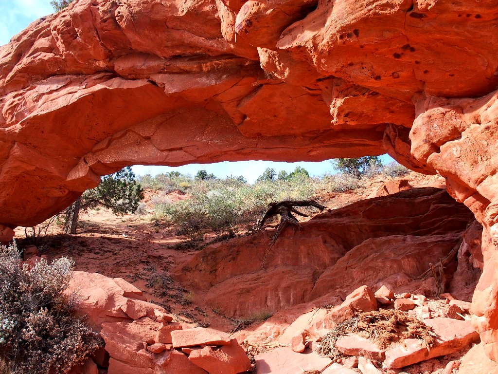
The opening is big enough to walk through

Inside the arch
View from the 'front' side
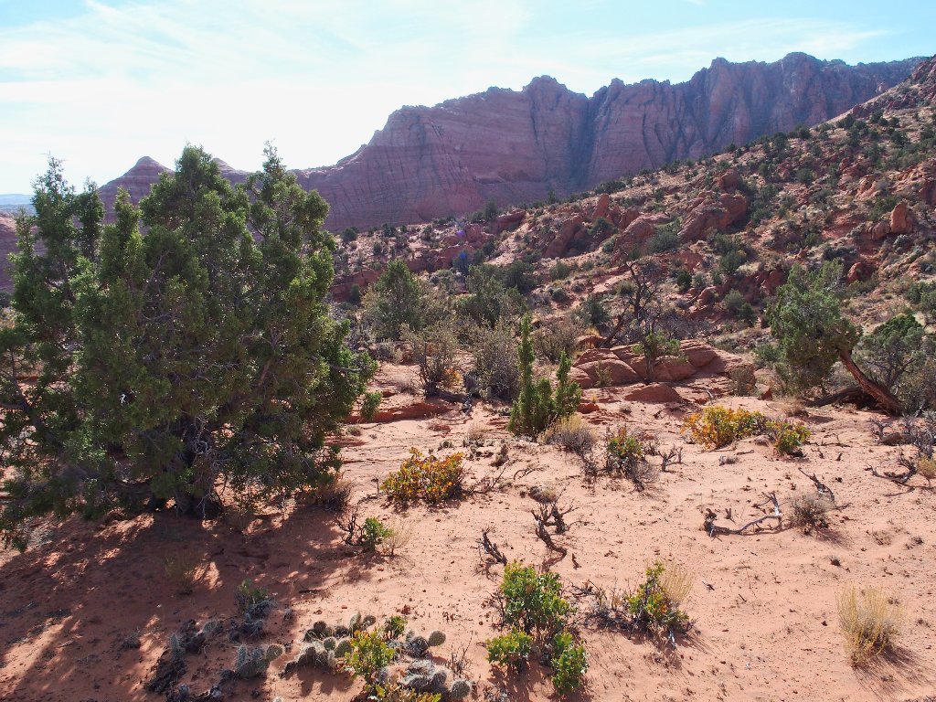
So far, so good. It should be pretty much all downhill from here.
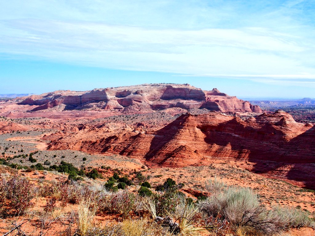
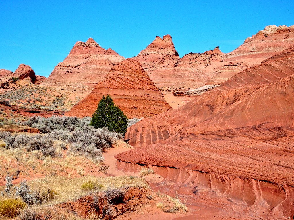
The Wave Trail is on the other side of those hills
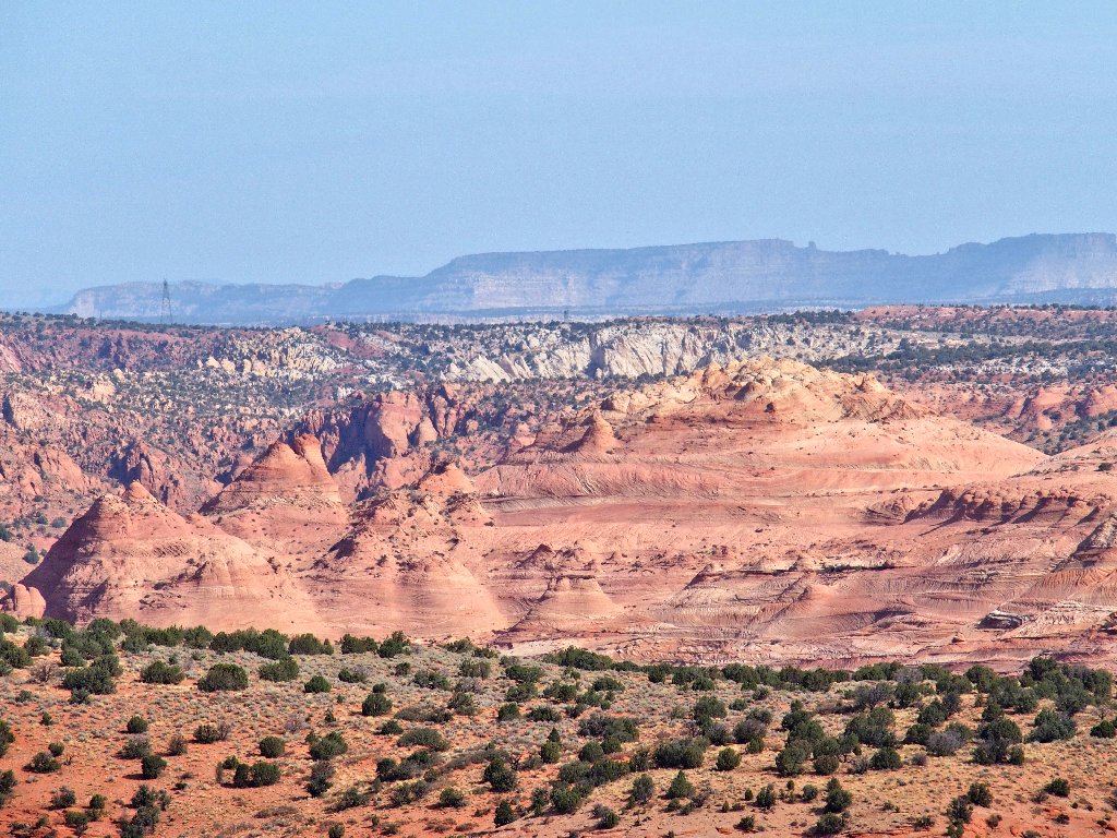
Telephoto views of coming attractions
Archlet
The other one is around here somewhere
The oak bushes add some great color
I doubt whether that is poison oak way up here, but I'm not about to test it.
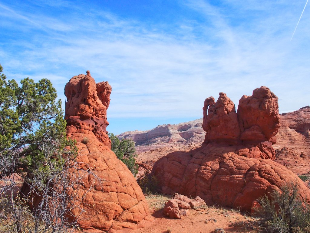
Whoa! A pair of bonus arches
Actually a trio of spans
Eventually I manage to navigate to the next objective, which still is right where it is supposed to be.
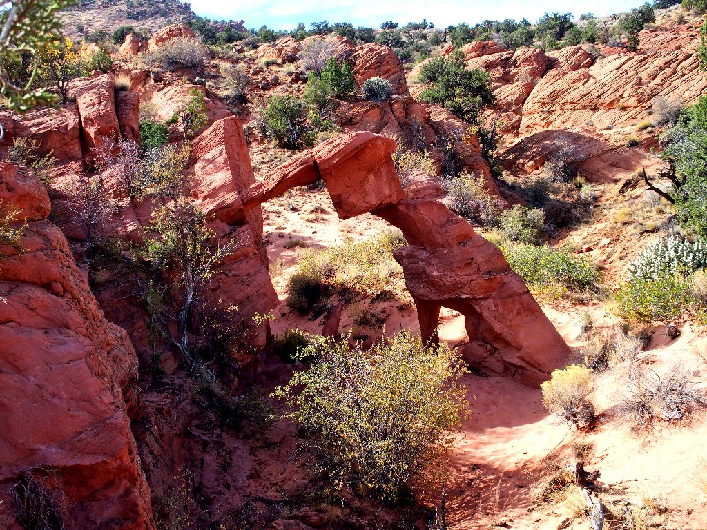
High Heel Arch actually is a double
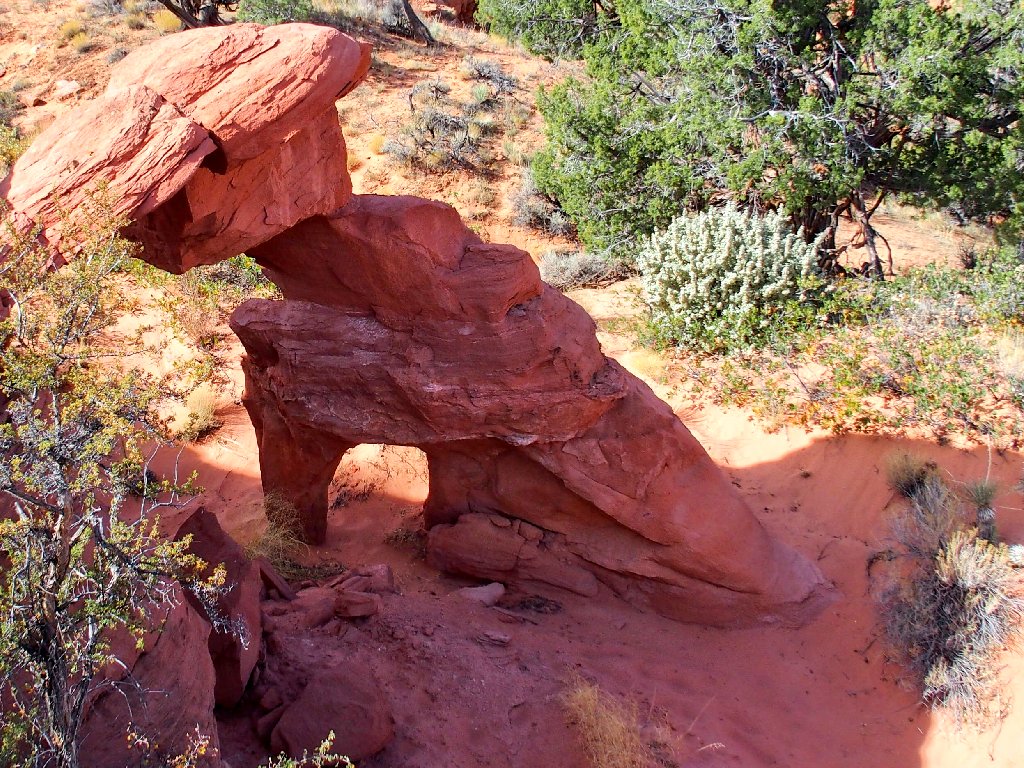
It looks like a high-heeled shoe, all right
A minor seat-of-the-pants scramble is necessary in order to get down there. What a distinctive formation this is!
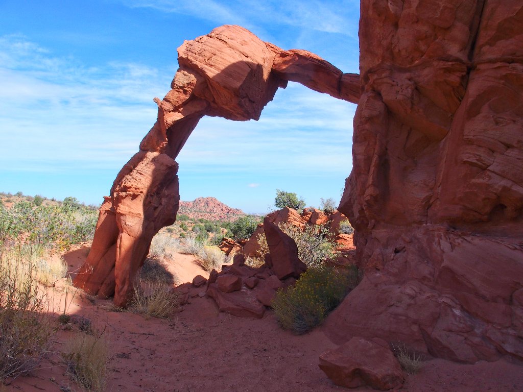
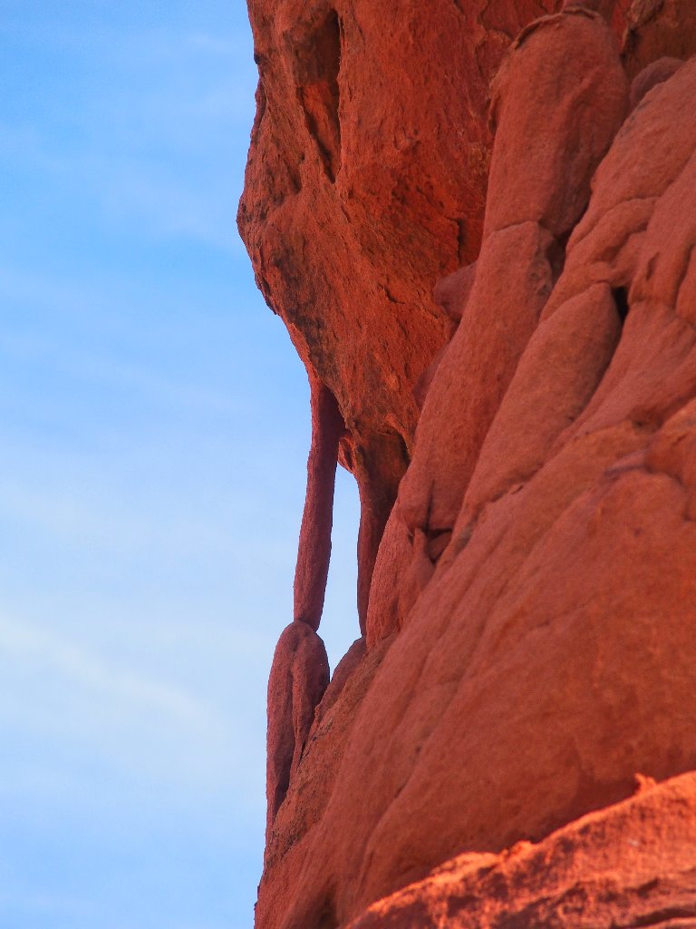
The 'back' view sports a whole new personality
A stiletto heel at that
Wow! I already have gotten my money's worth today, and I'm just getting started.
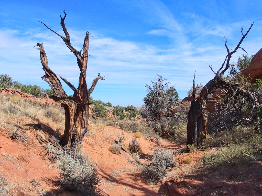
Starting down the hill
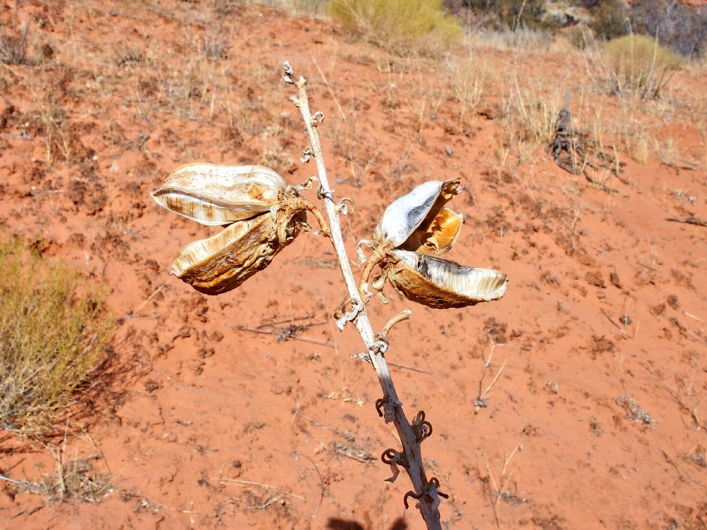
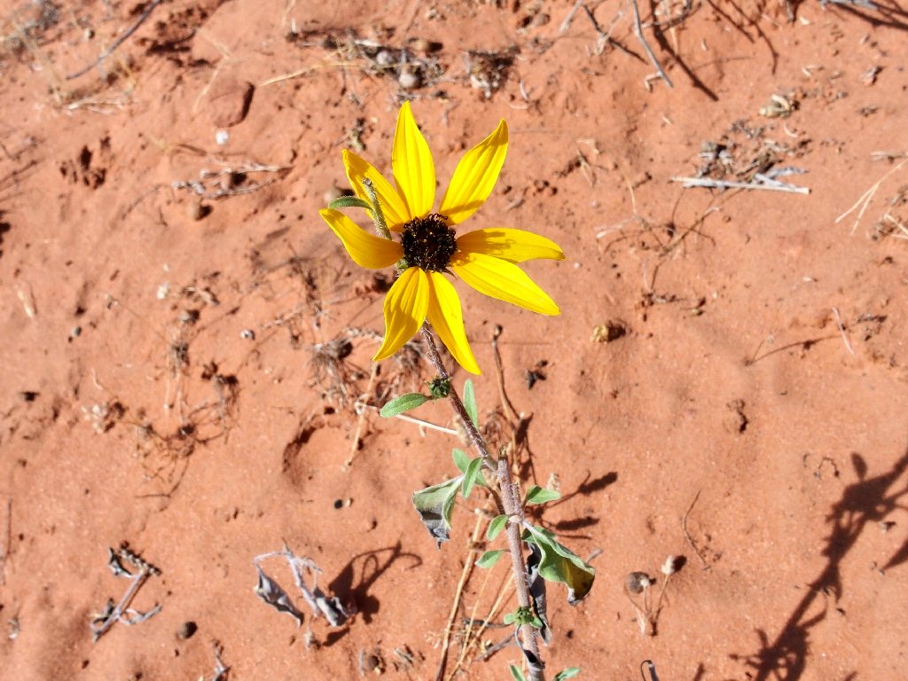
The only flower types I would see today — Narrowleaf Yucca & Prairie Sunflower
Others have been here
Half a mile of sliding down through the sand gets me to a junction with the Wave Trail, right at the boundary of the permit area.
Been there, done that twice, but I'll keep on trying for another visit

That's where I was half an hour ago
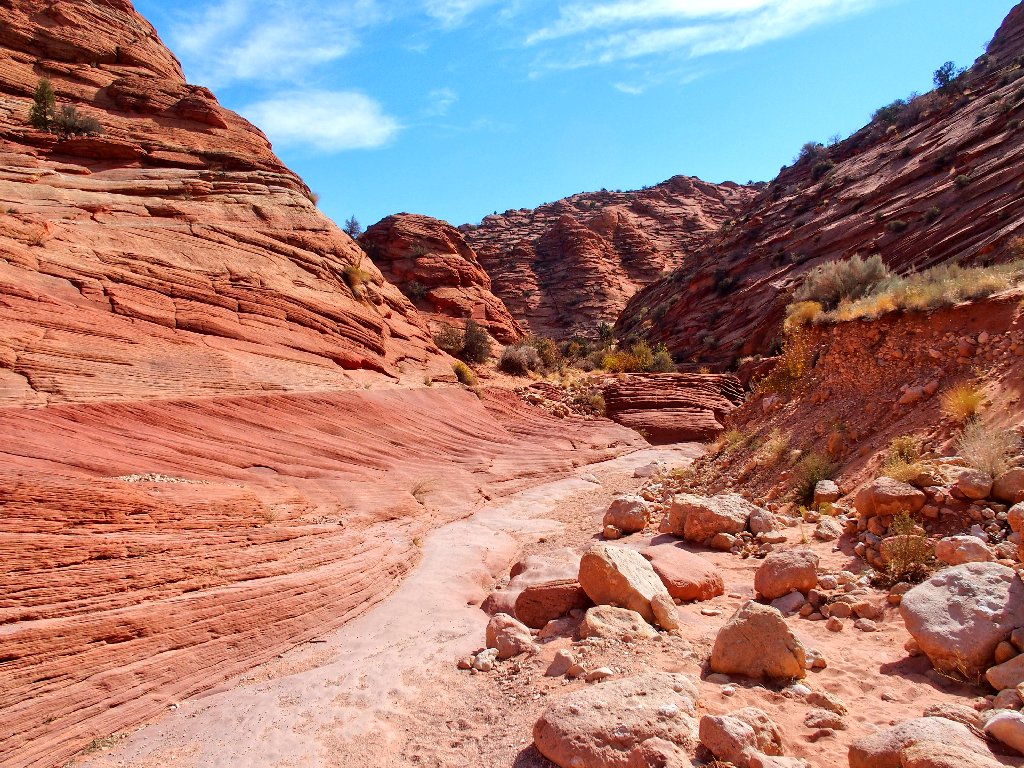
Now I must make my way into Coyote Wash and pick up the Wire Pass Trail. Having used Google Earth to help map what looks like a workable shortcut, I head for the next programmed waypoint.
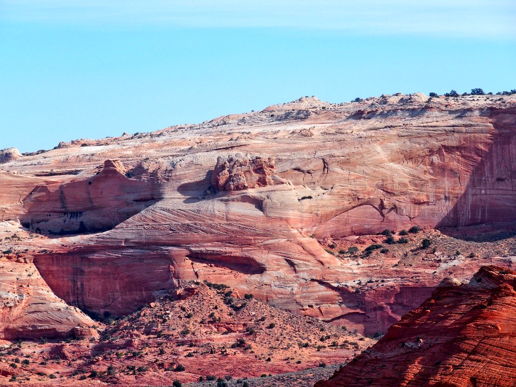
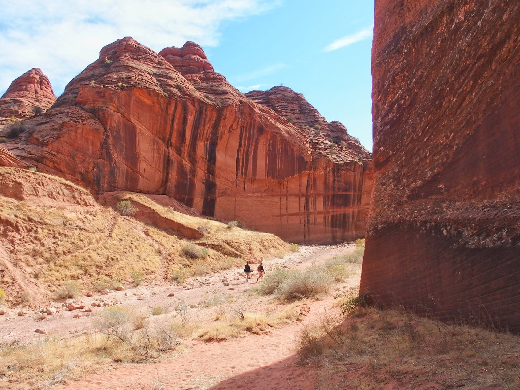
There are gulches and slot canyons ahead
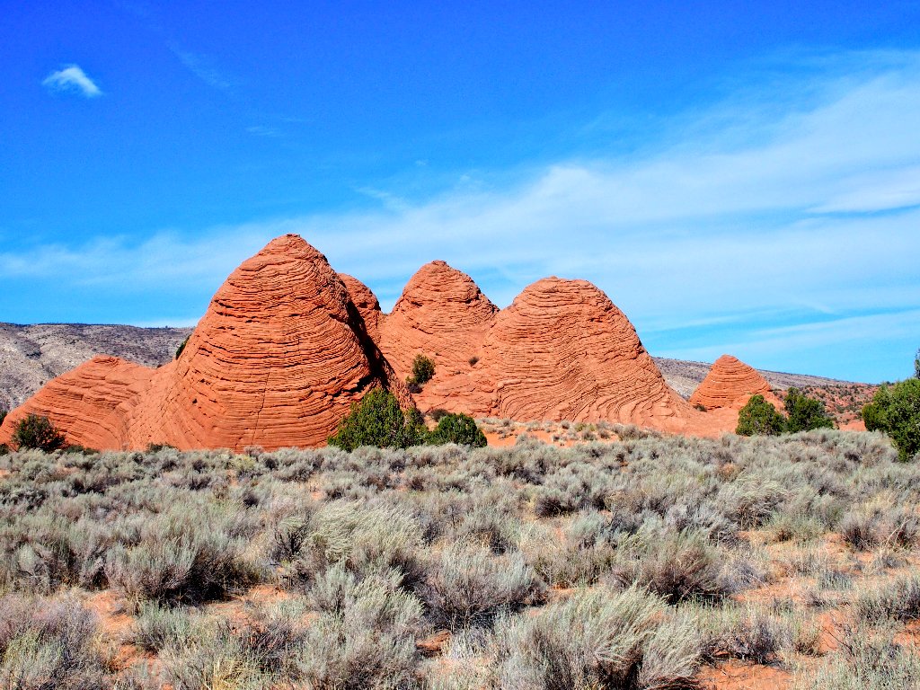
Nice teepees
Oops! This was supposed to be easy, but it appears that I must scale a wall of redrock.
I'll go up there and look around
Well, I can see the wash all right, quite a ways below.
A steep scramble down is in order
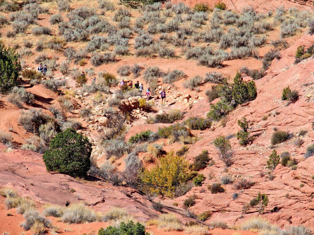
Close-up of a sizable group on the trail
Nice view of the teepees on the descent
Well, this shortcut seems not have saved any energy, but it is proving
to be a lot of fun — and of course, I did it my way.
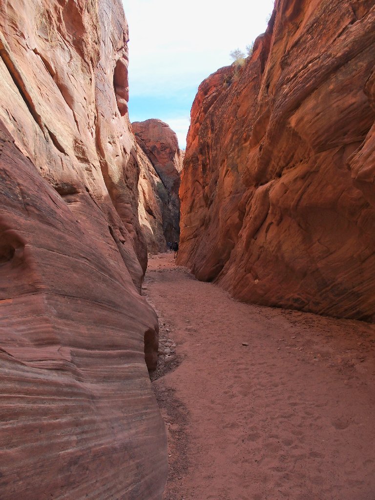
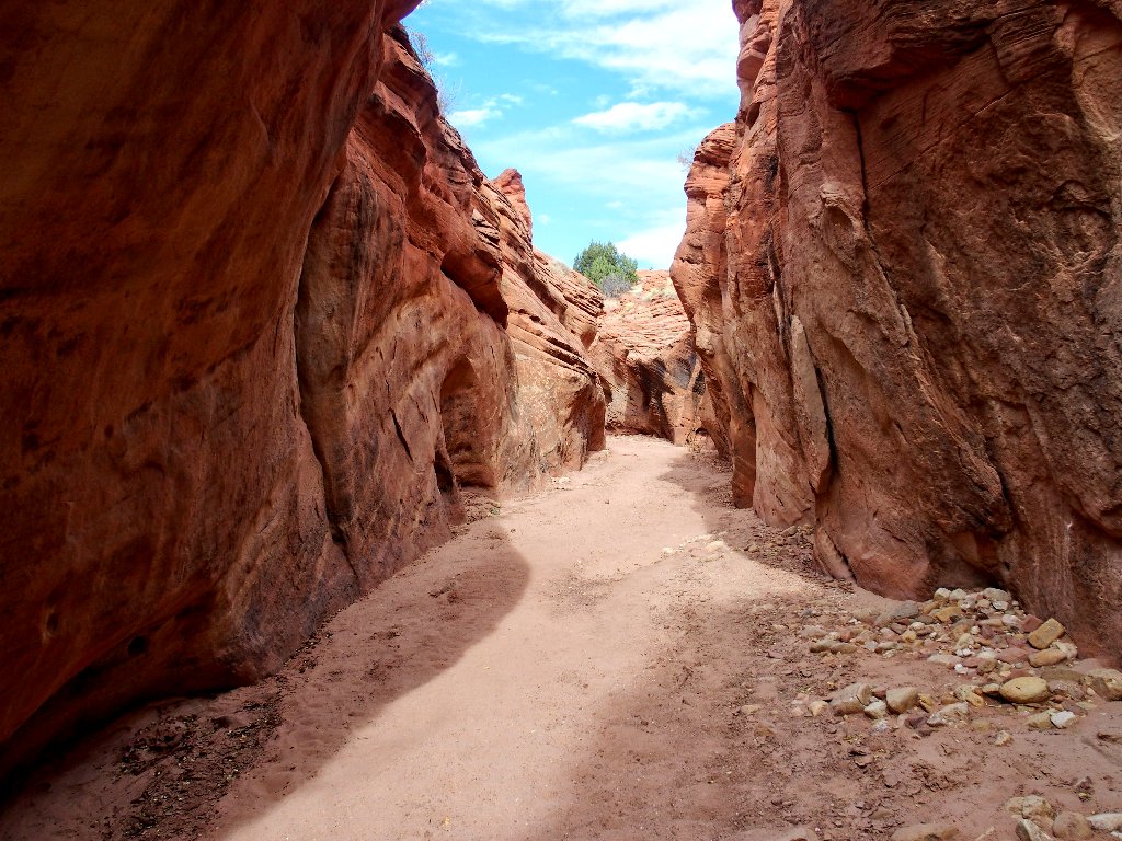
Into Coyote Wash at last
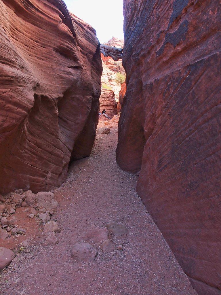
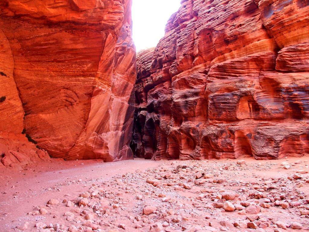
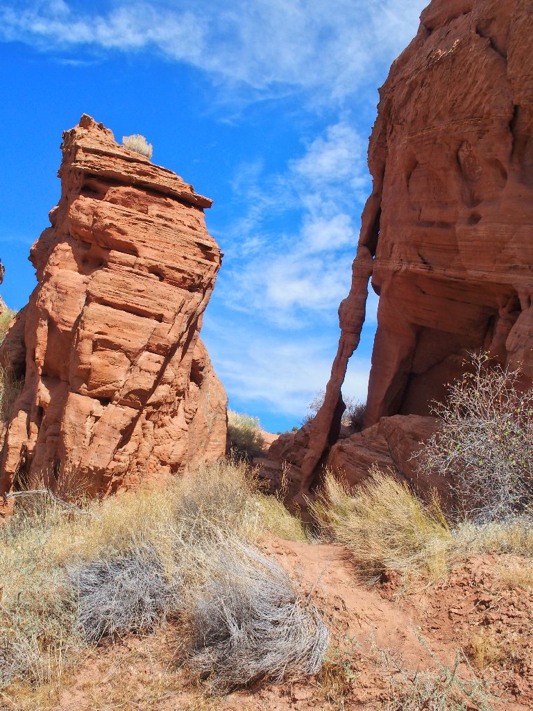
Almost immediately, the route disappears into a cleft in the rock.
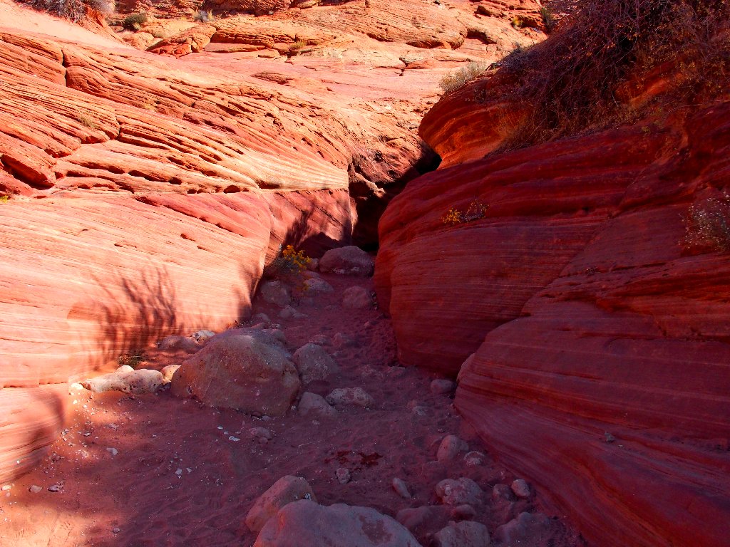
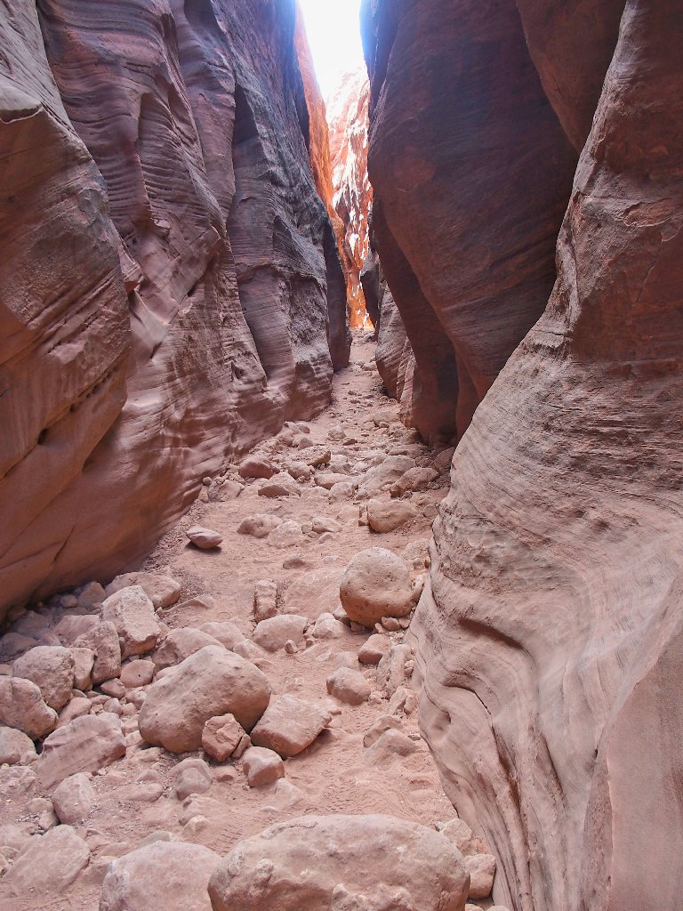
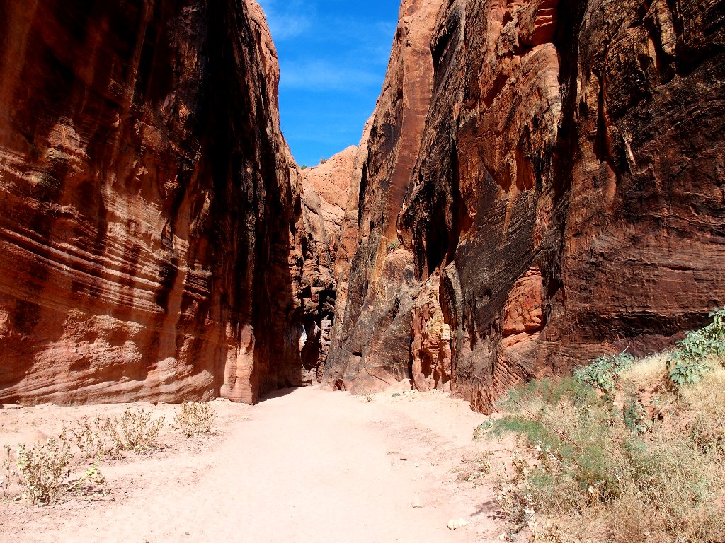
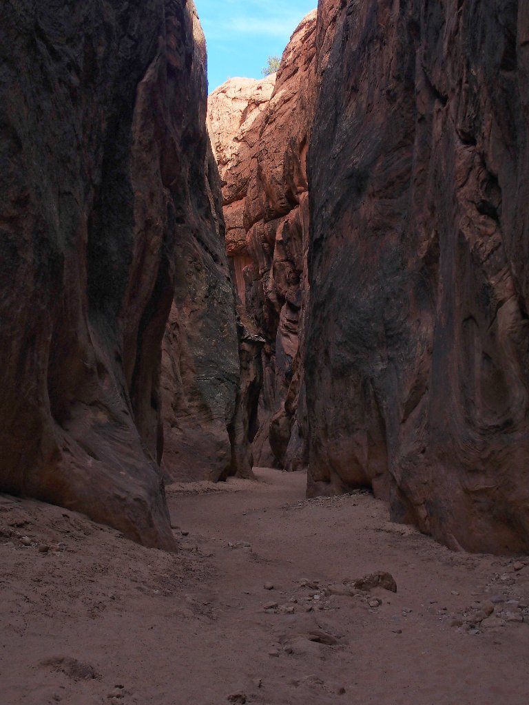
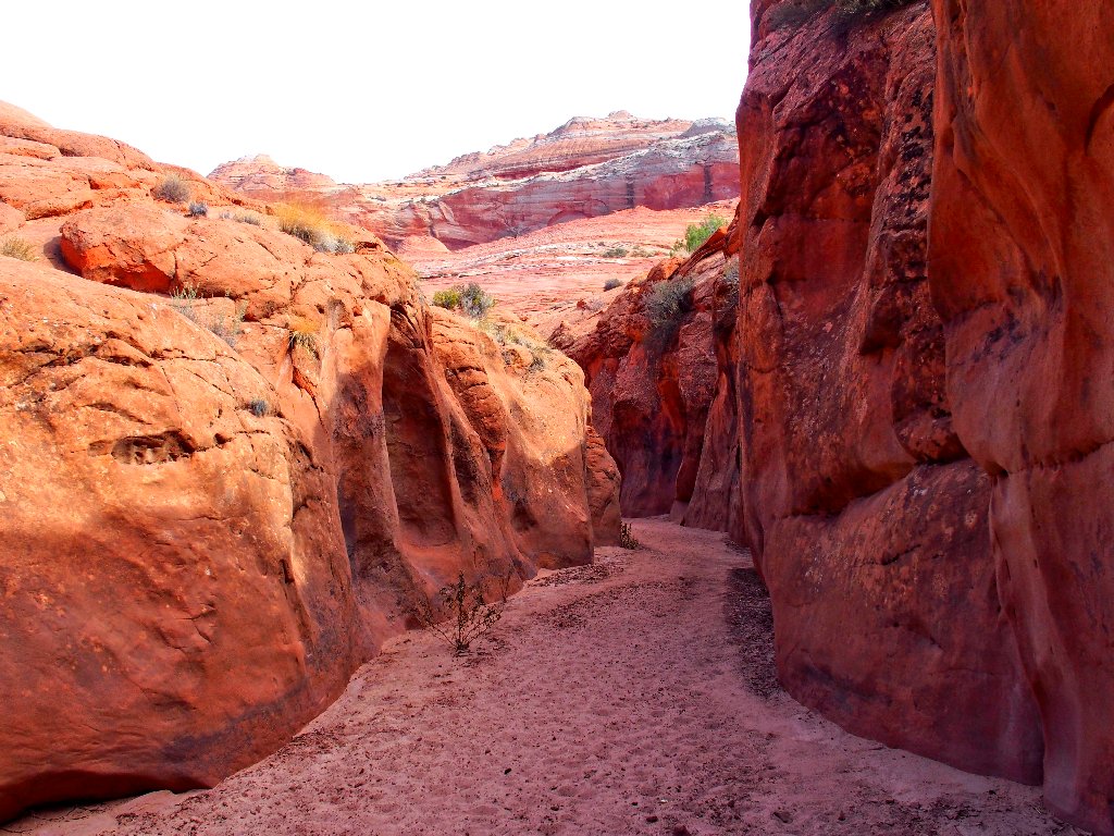
Slot canyon ahead!
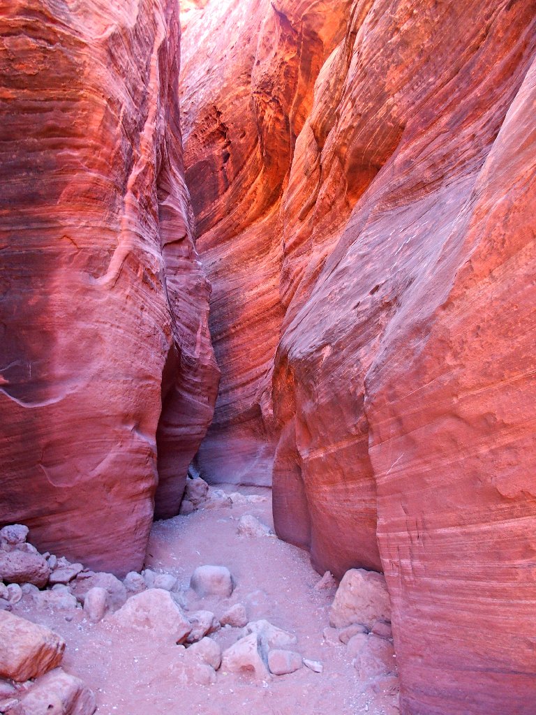
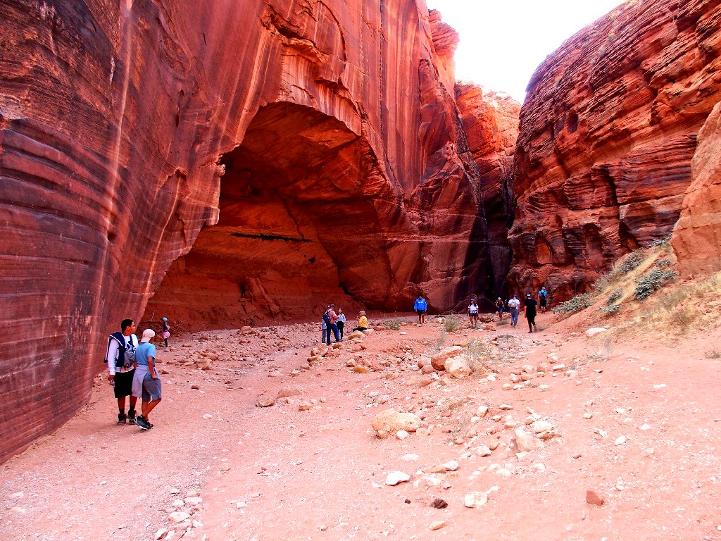
This must be Wire Pass
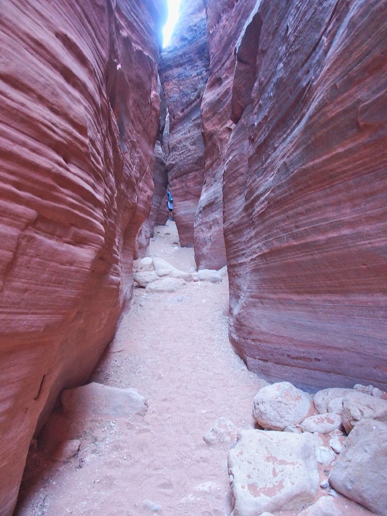
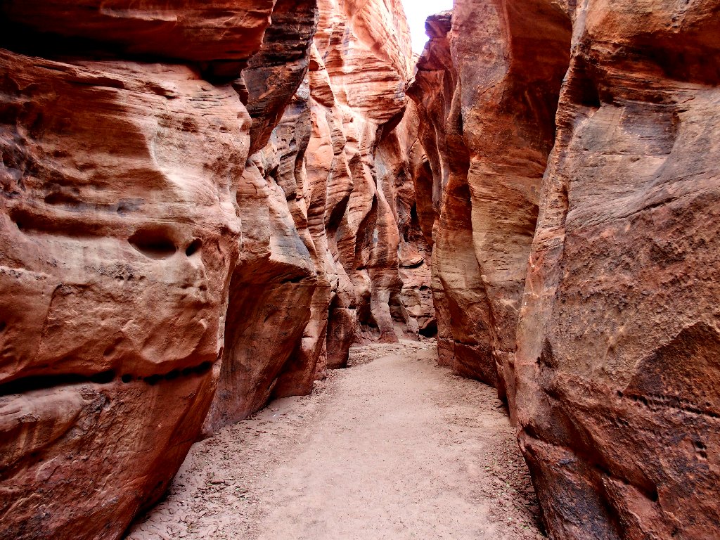
Getting through The Cockscomb
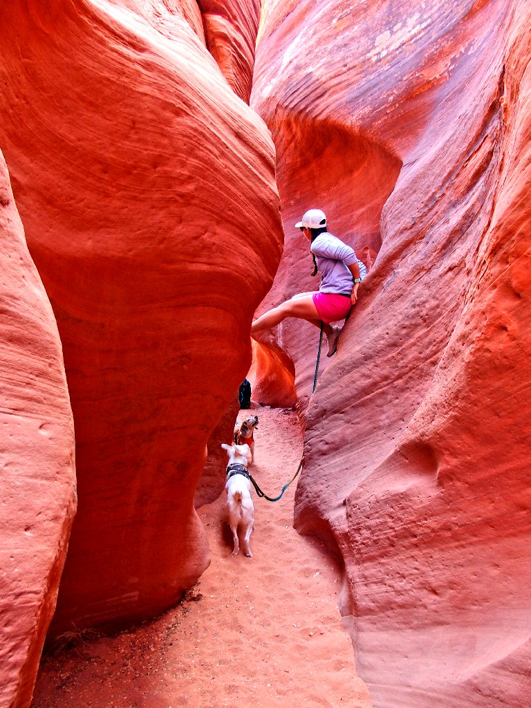
There is some commotion up ahead. A group of hikers has stalled, and soon I find out why.
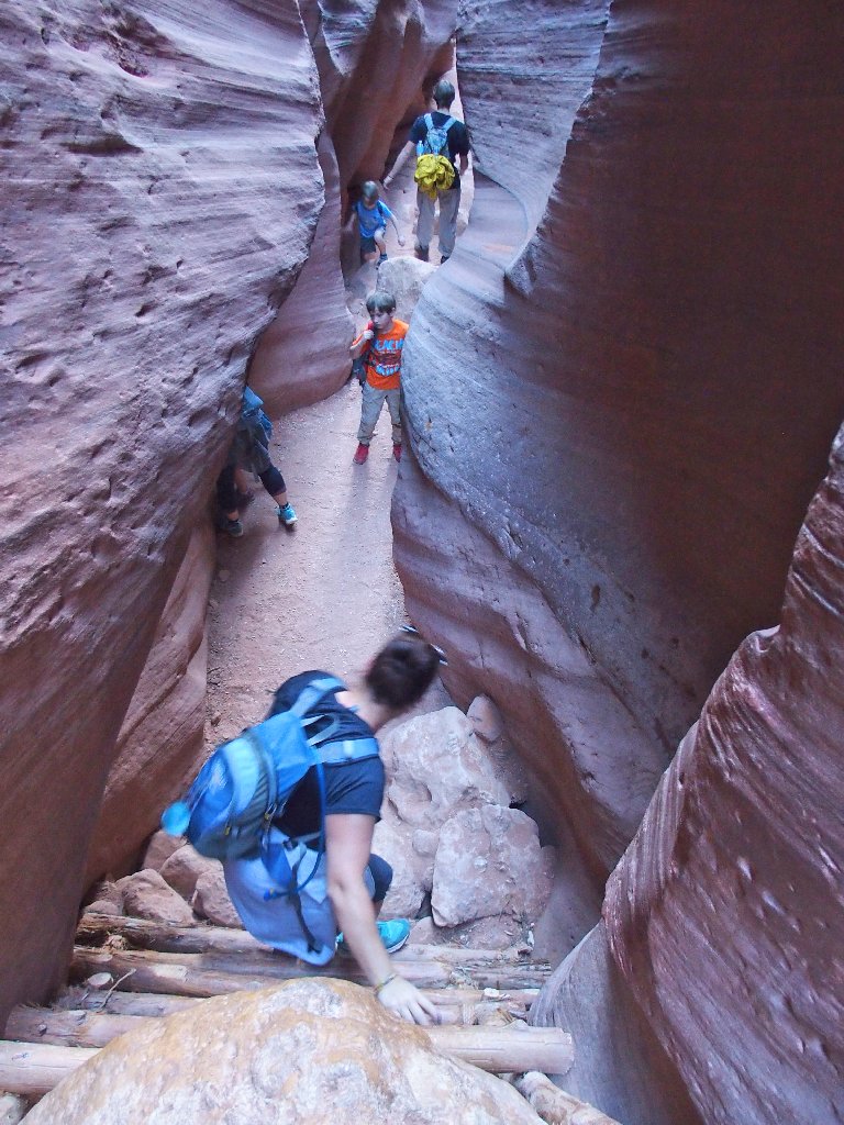
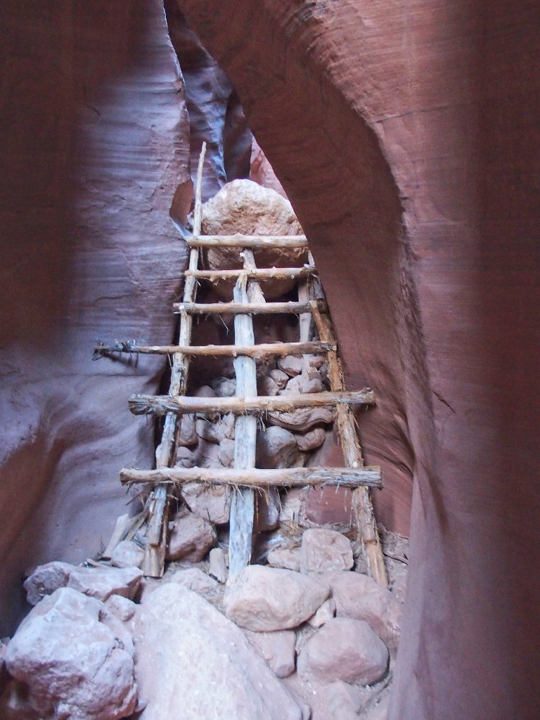
This ladder is most welcome
If I remember my reading correctly, that helpful aid has not always been available; and its absence would make a passage problematical.
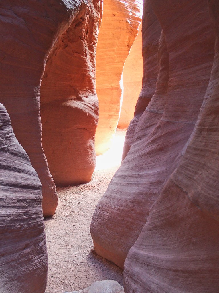
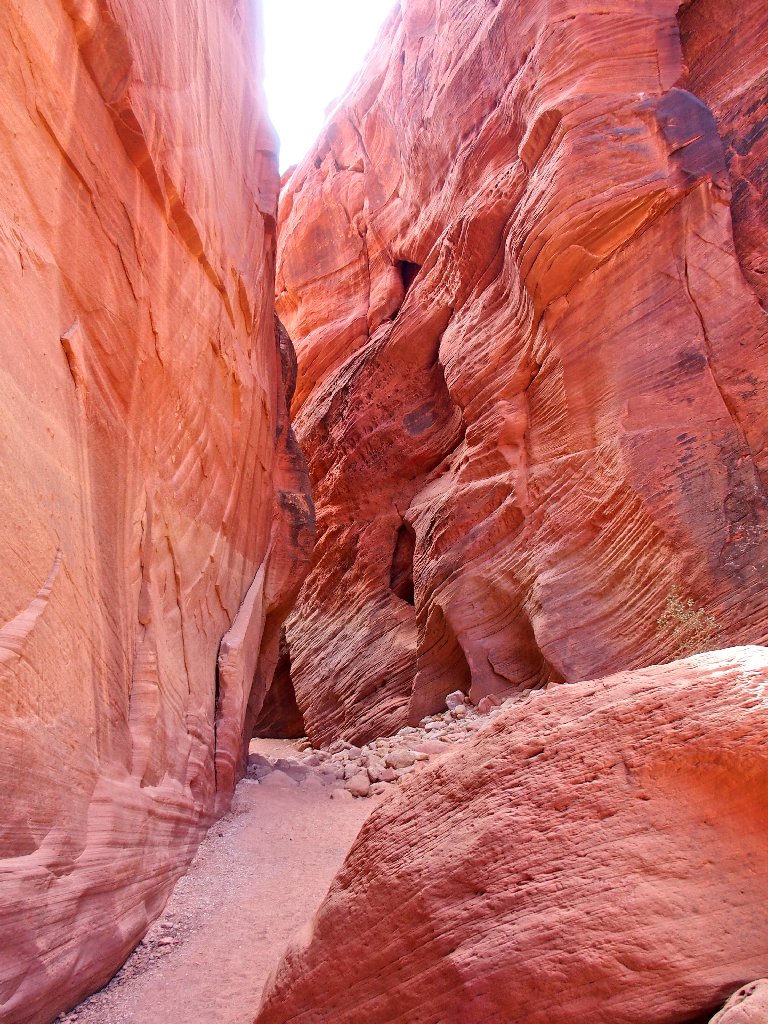
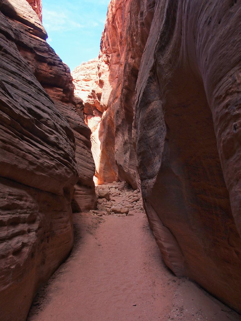
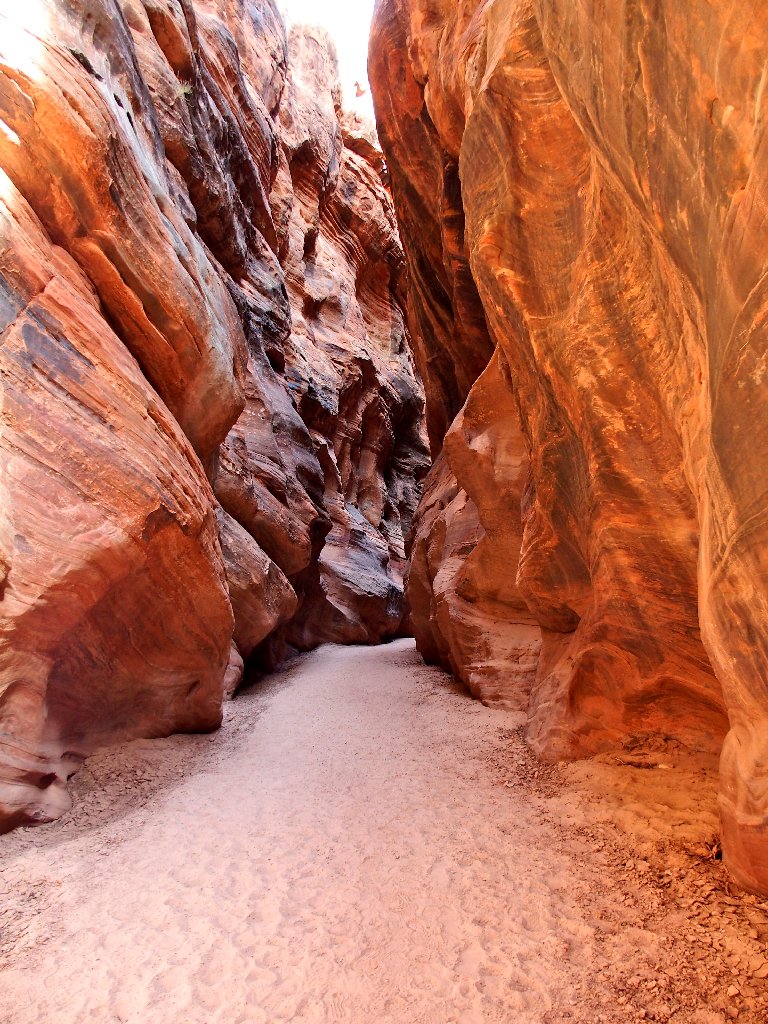
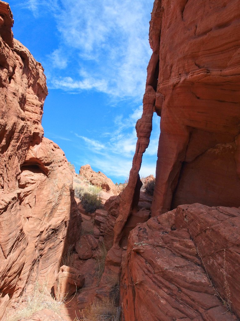
Beautiful, albeit cramped
A brief opening
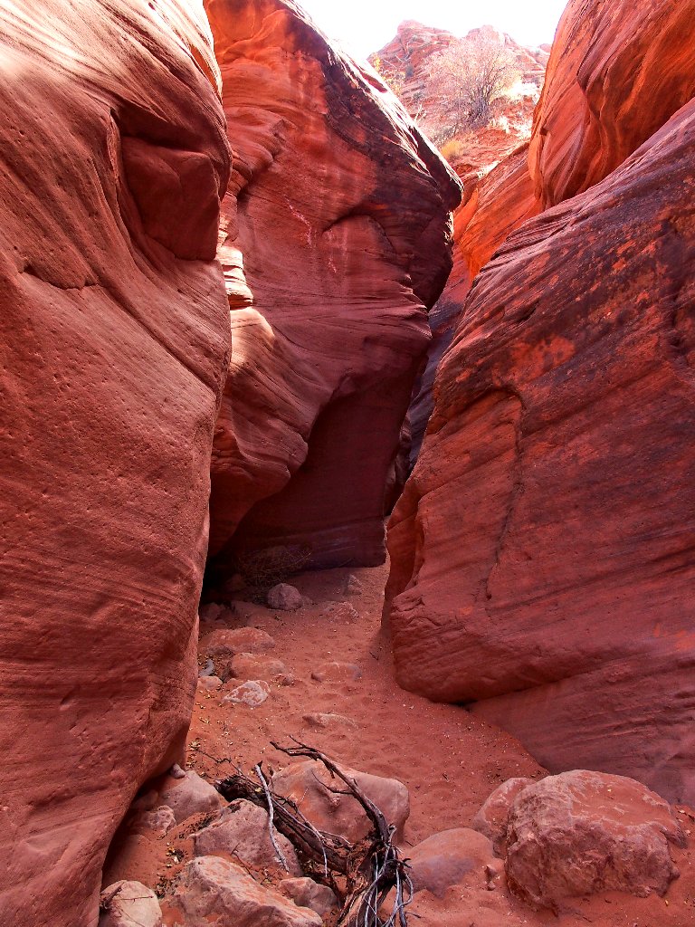
Back into the slot
Hamming it up for the camera
The slot is but two feet wide in spots
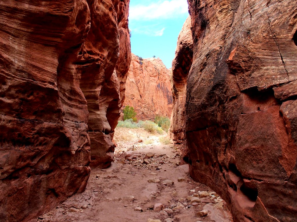
Presently, the area opens up considerably when I reach the confluence with
Buckskin Gulch! This is a feel-good place.
That might become an arch in a million years
Because all of this is new to me, I'll just follow Buckskin Gulch southward for a while, and see what there is to see.
Starting downstream
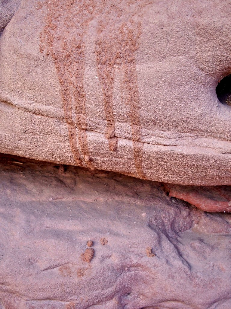
Near the junction is a nice petroglyph.

The only panel in sight
Nice at first, but it soon becomes pretty rough
In fact, after a few hundred yards of unexciting going, I lose interest, terminate my scenic detour, and head back. My car awaits me in the other direction, and there is yet much to do.
End of the line for me
This is why I go hiking
Nifty patterns
Back at the confluence
Starting north
Alternating light and dark
An object in the wall catches my eye — it's an eye, of all things!

The back side of the painted rock has an Instagram address on it
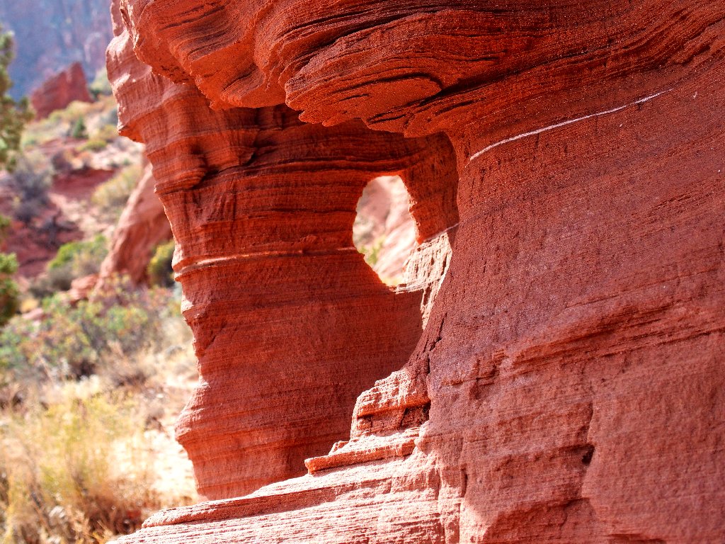
Another archlet
A shady spot suitable for a snack break
An unwelcome cairn garden
It would take hours to dismantle that unnatural display, however; so it will survive to desecrate the wilderness for another day. Besides, with so many hikers around, it isn't feeling much like a wilderness here at all.
Carmine's presence is only temporary
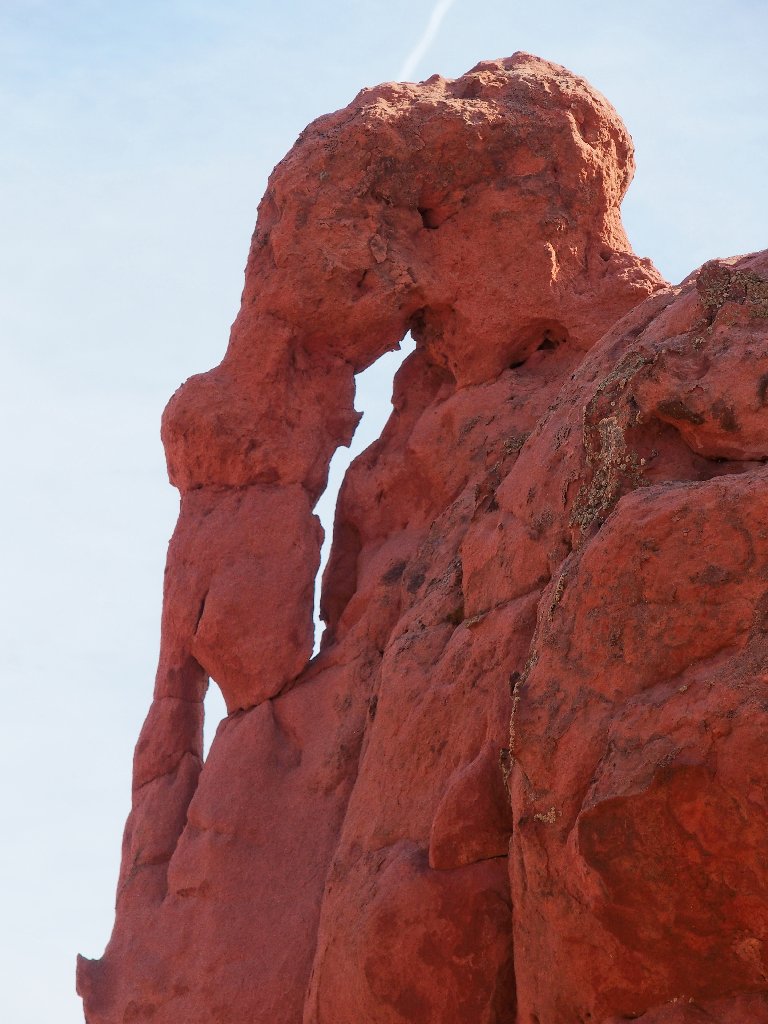
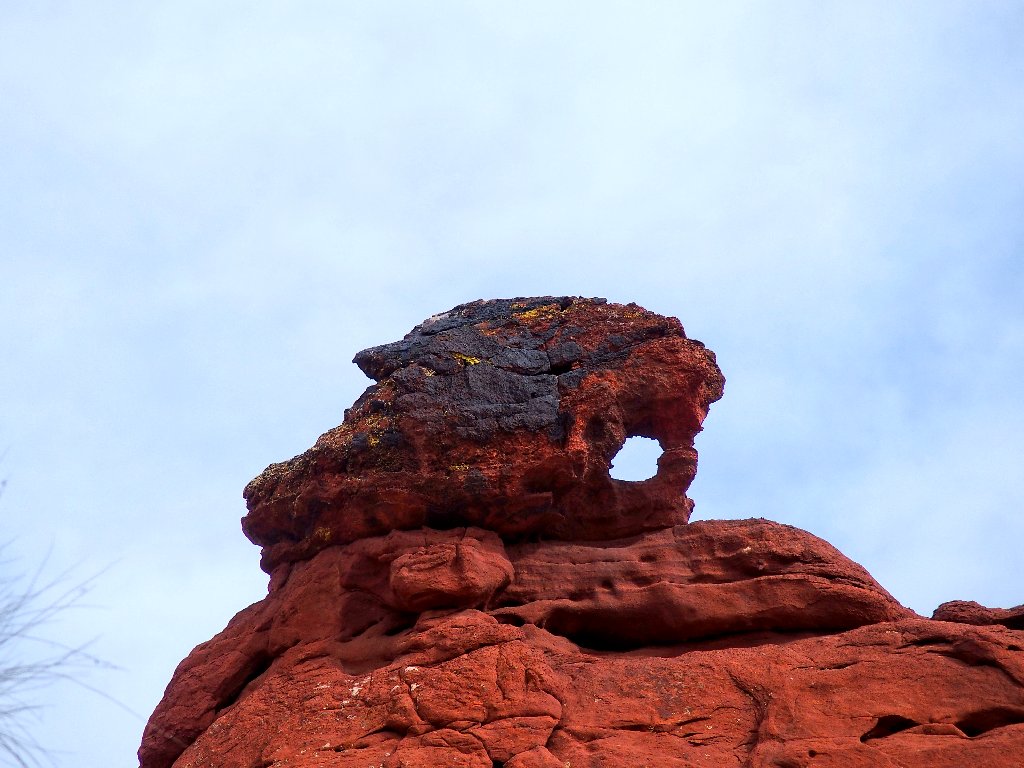
Around the next corner, a young couple is taking a selfie in front of a formation that
vaguely resembles an elephant — or perhaps one of its ancestors.
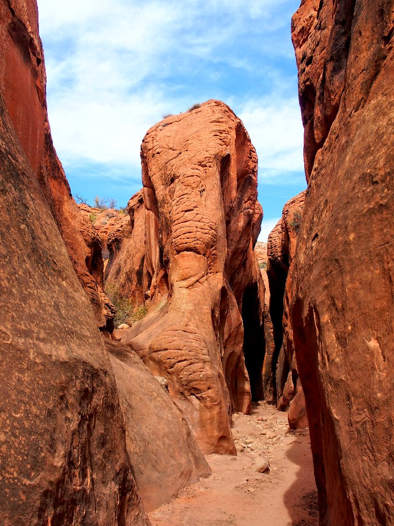
I'll call it Woolly Mammoth Rock
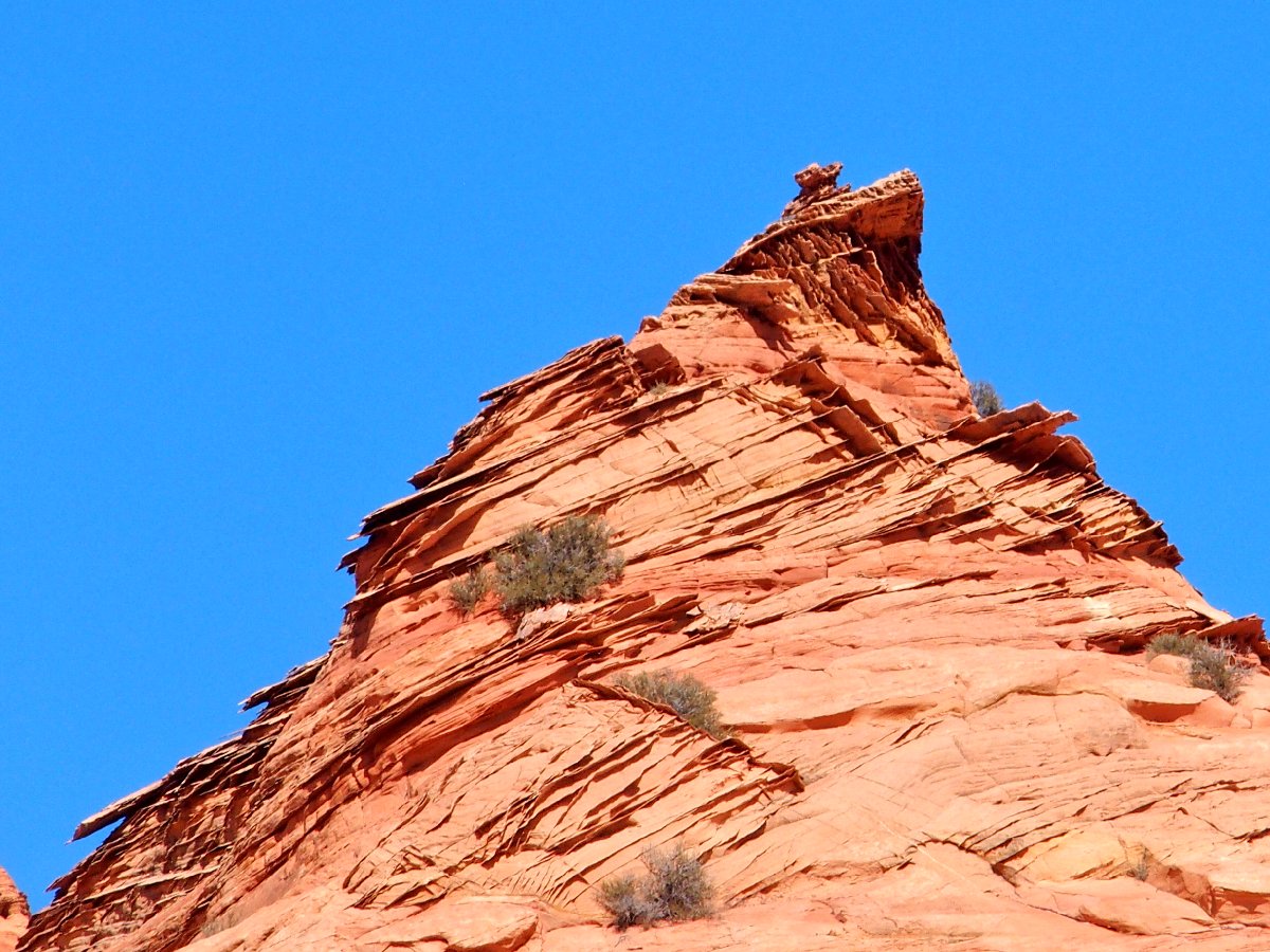
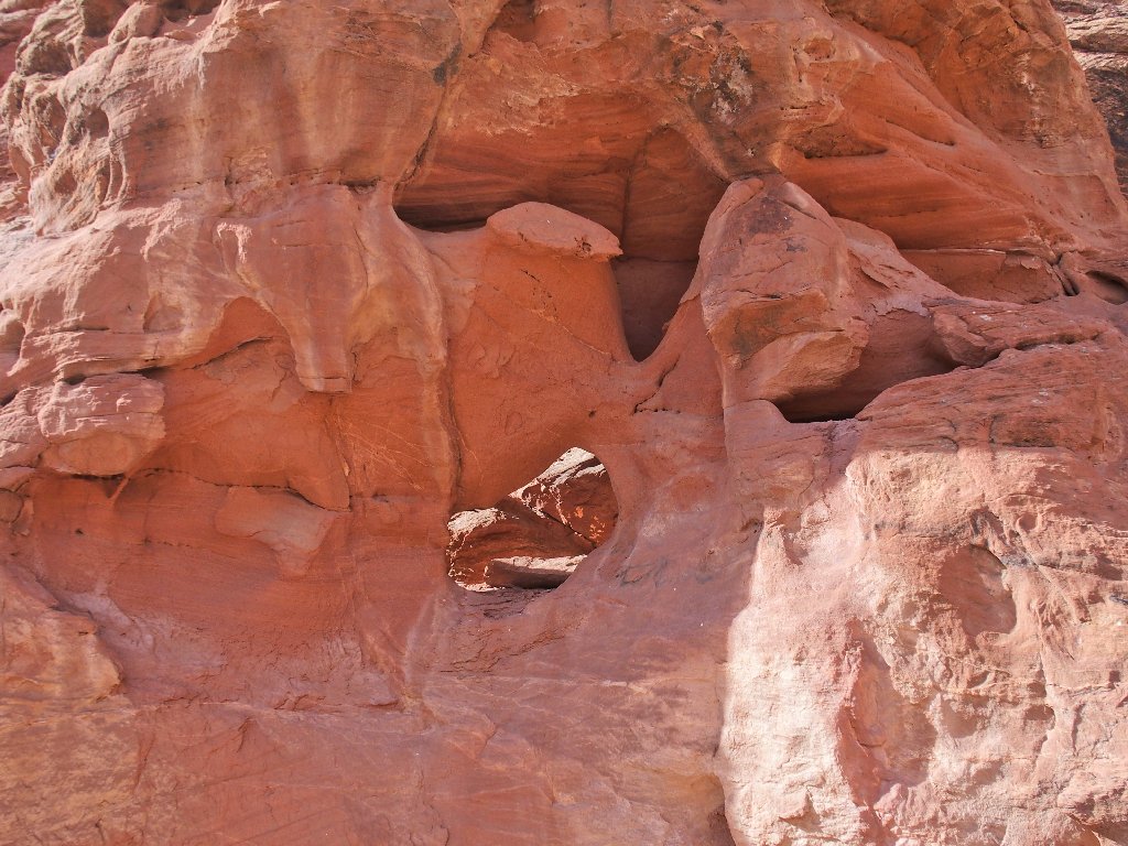
The next surprise is a high sentinel overlooking the slot.
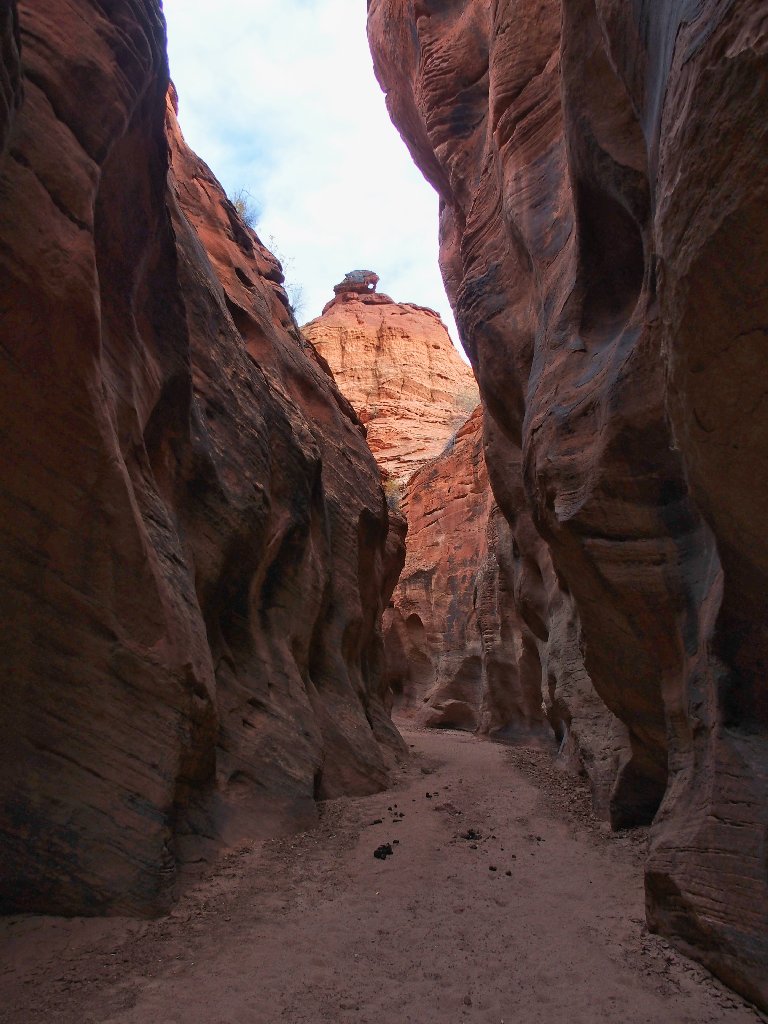
I'll call it Watchover Arch
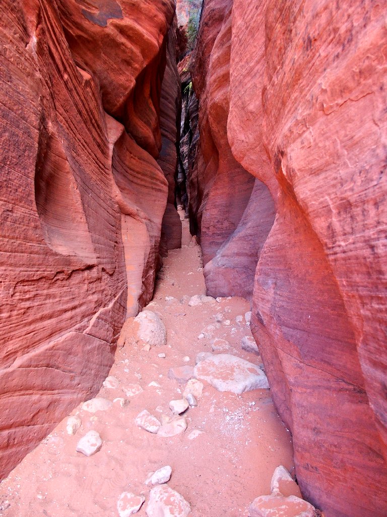
Am I coming out of it yet?
Nope
Yep
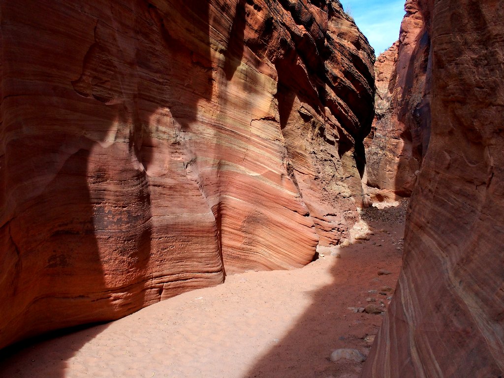
Red passage
Desert drama
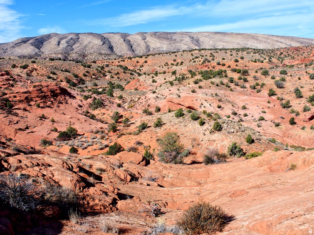
All right! Phase II of the mission is complete. Now, Buckskin Wash heads northward up to where the car is waiting.
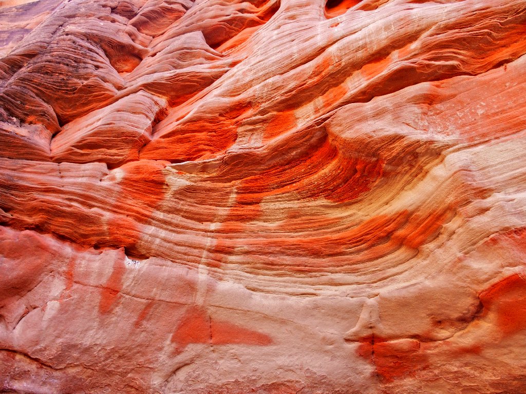
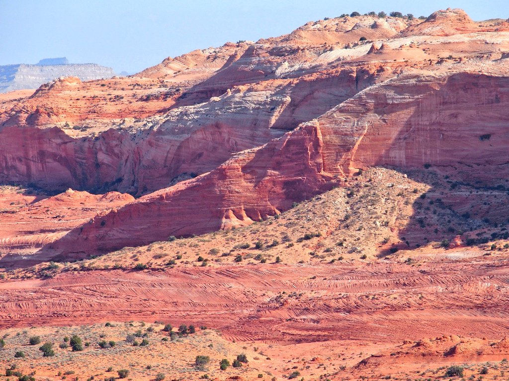
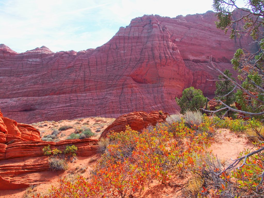
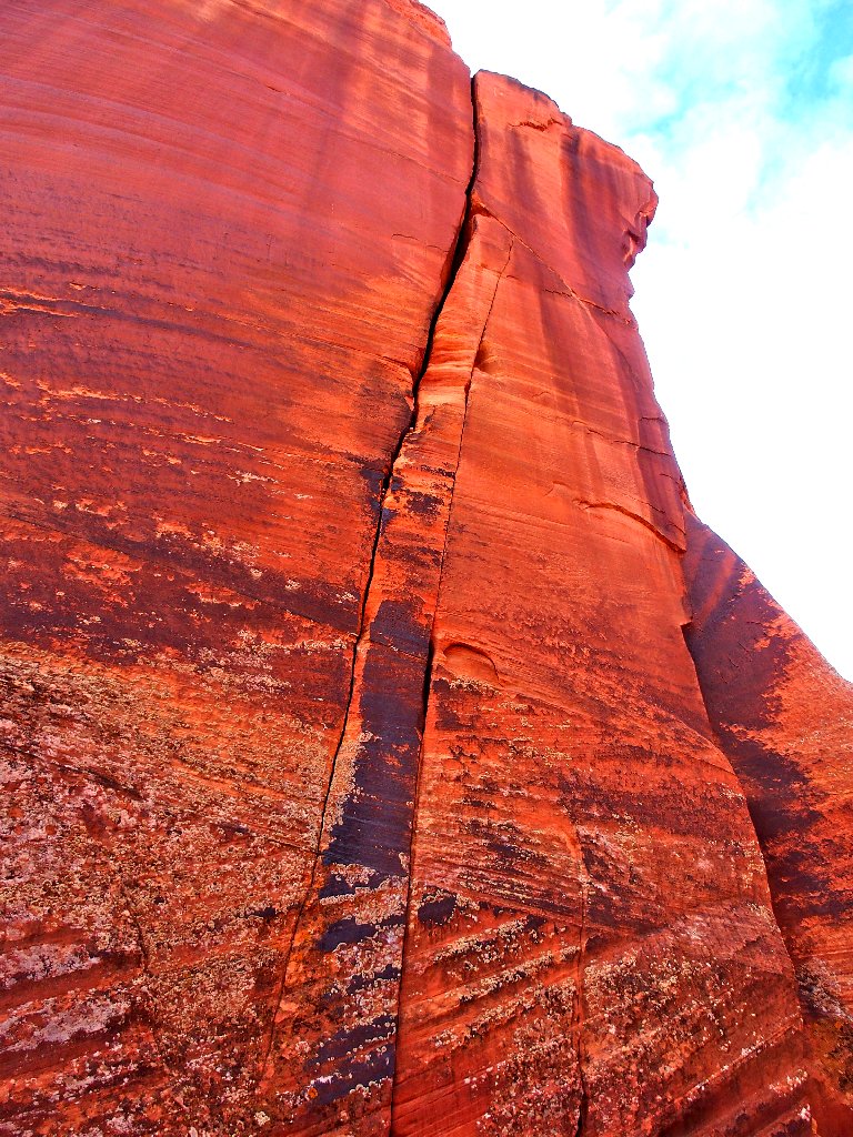
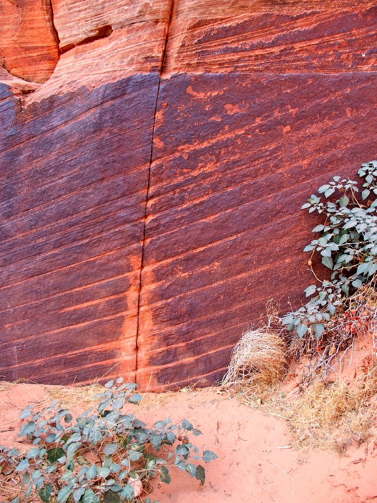
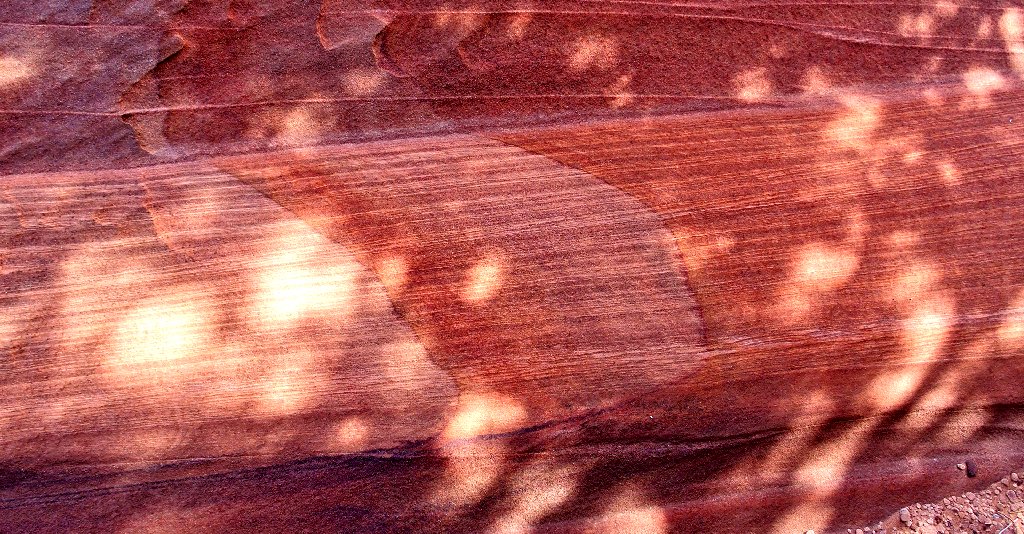
Spectacular coloration
Purple dried mud is a first for me
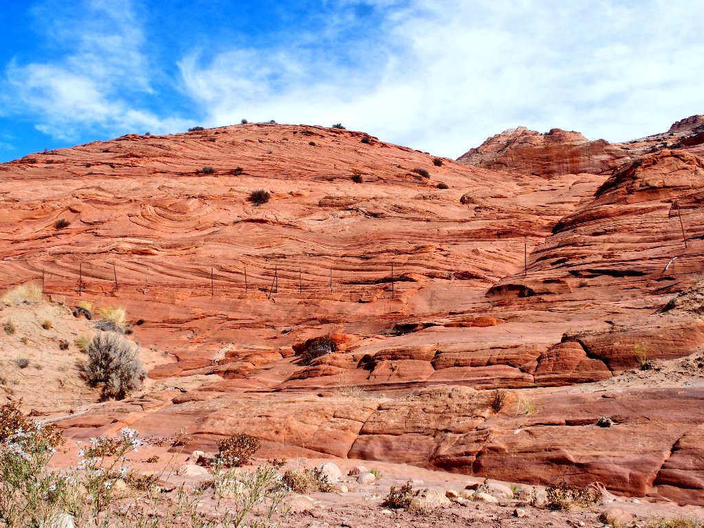
The fence marks the wilderness boundary
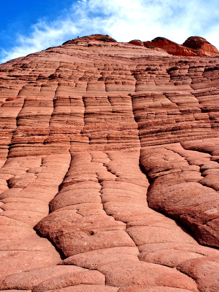
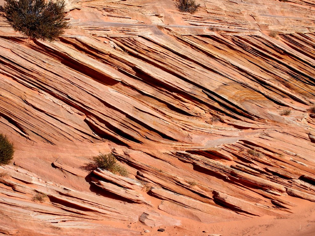
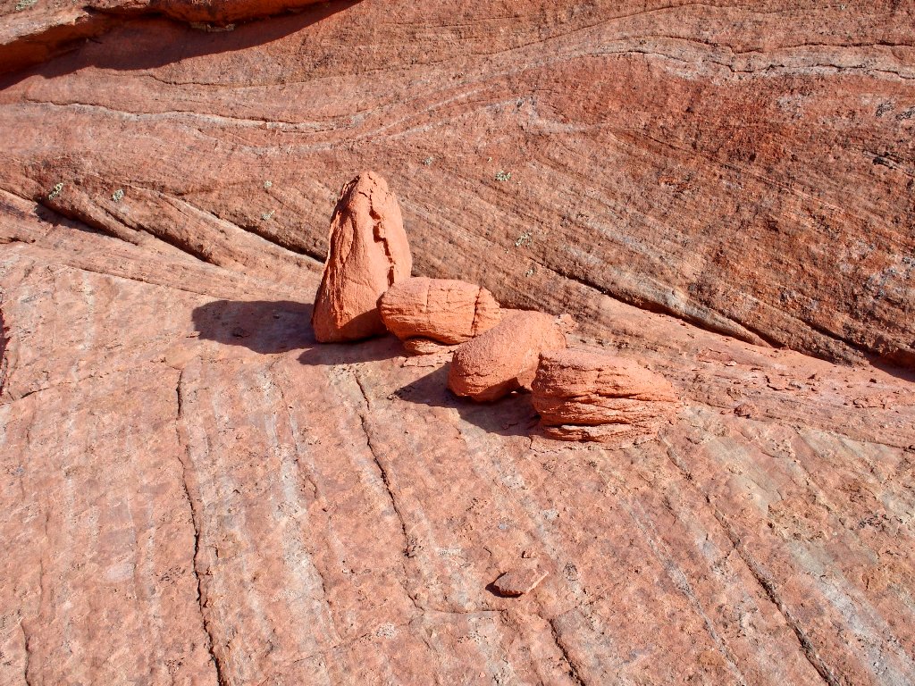
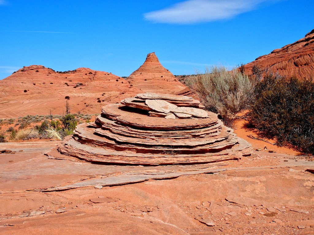
Cross-bedding and brain rocks abound
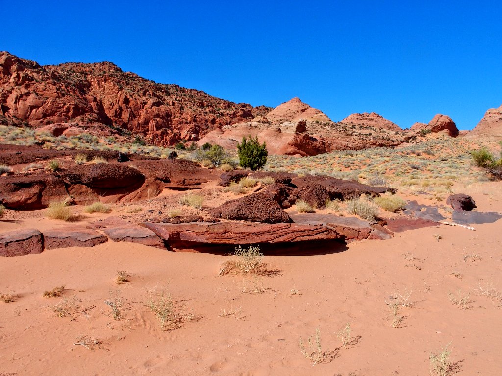
Phase III of the mission involves leaving the comfort of the wash and sticking as close as possible to all the great formations to discover new things, because my previous two explorations near here were more to the east and this is uncharted territory. As before, Google Earth research has suggested a reasonable route. The first one didn't work as well as was hoped, though; so we'll see how this one goes.
Sublime

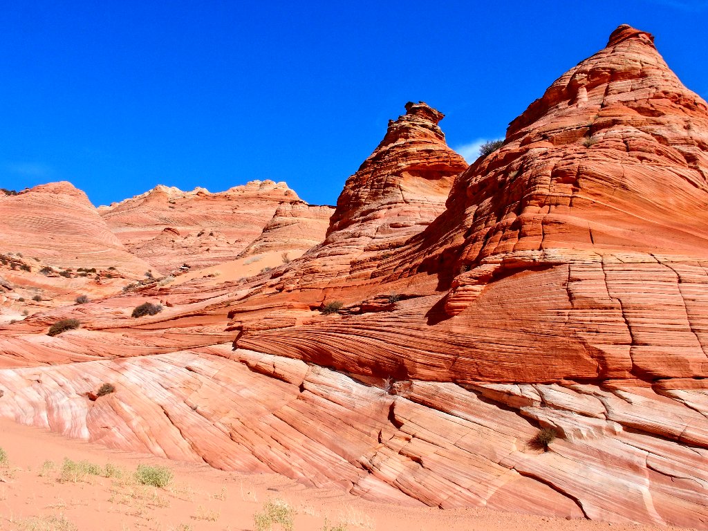
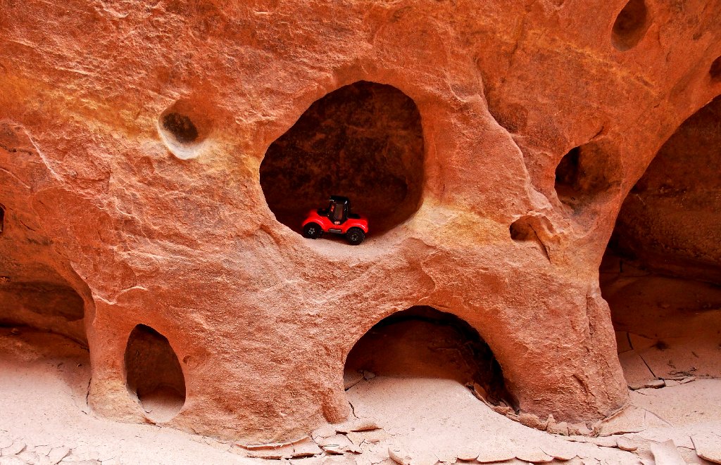
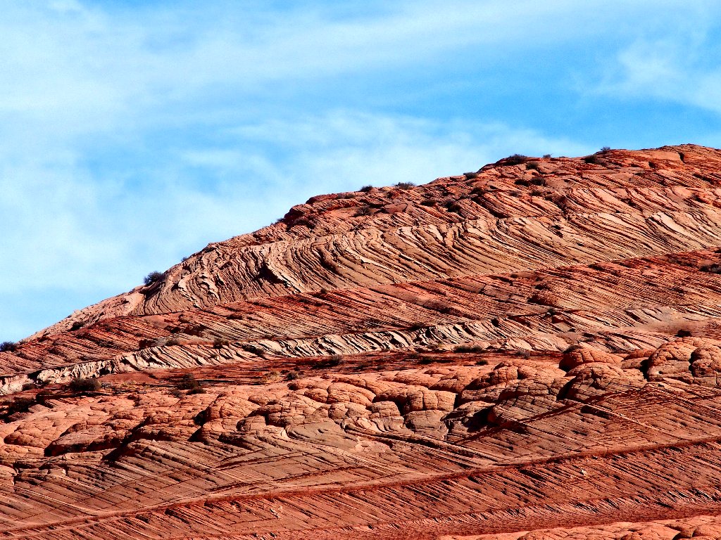
This area is especially interesting
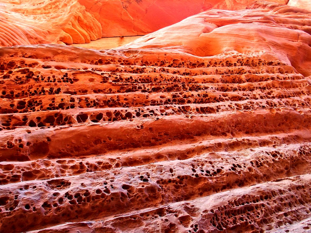
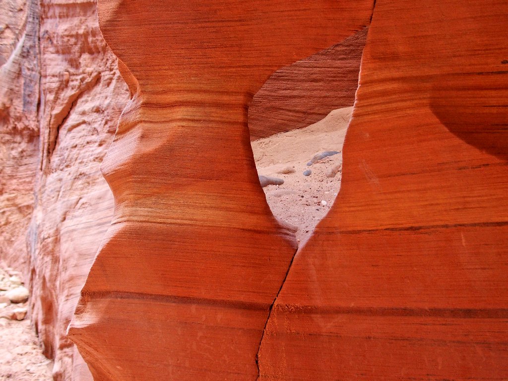
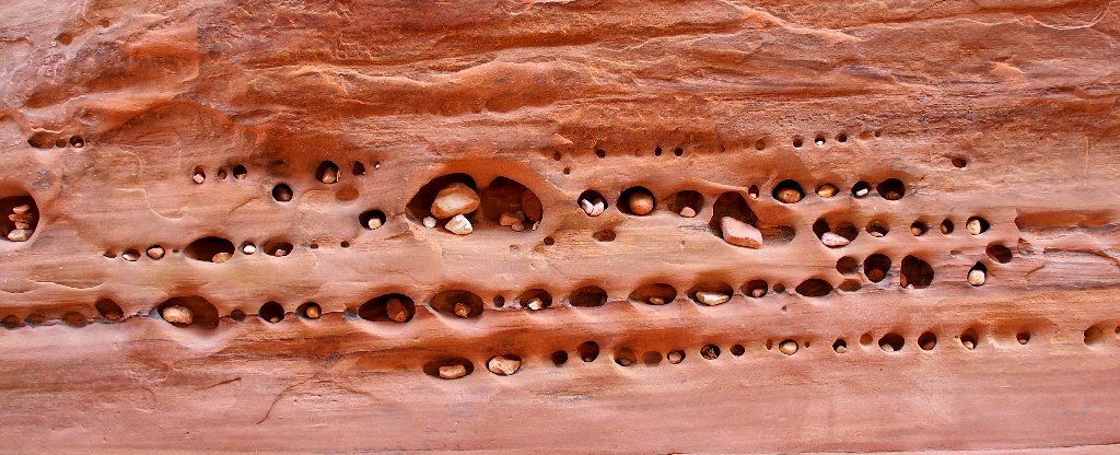
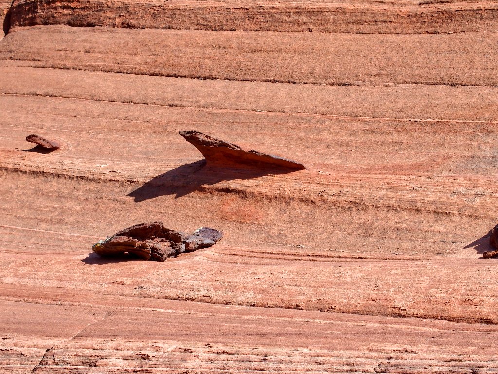
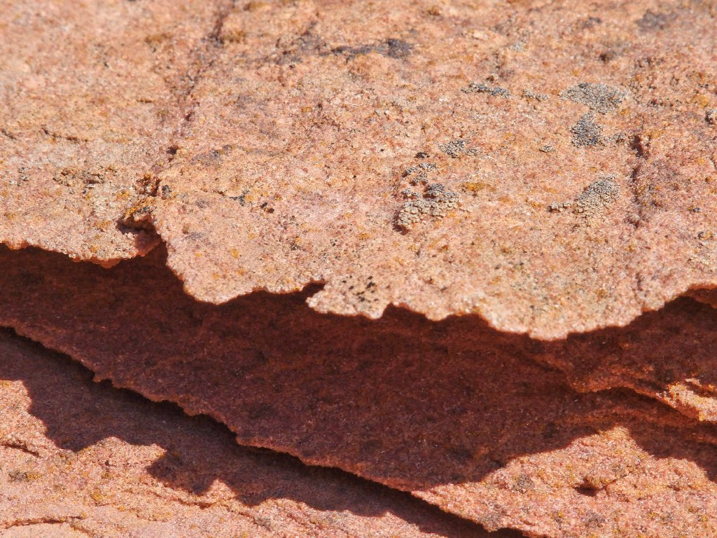
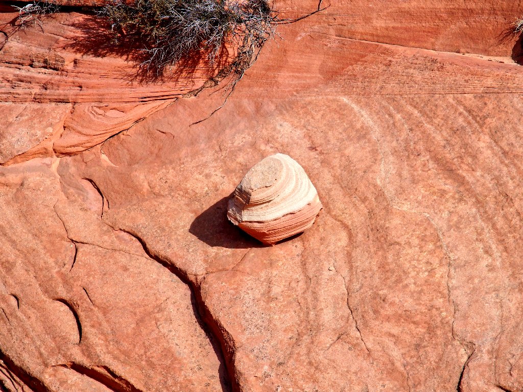
Aha! This is what I have been looking for — Some of the most fragile stuff on the planet:
Lace Rock ⇔
Where to now?
Walking off-trail on sand dunes is quite enervating; in fact, in one place the slope of the sand is so steep that it is impossible to climb it. With every step, I actually slide back below where I was. Bummer. I am compelled to traverse the slope sideways for a while, which is neither easy nor fun. On top of that, it is becoming pretty warm out, and my spirit of adventure is waning commensurately.
Delicate stuff
Where else can one enjoy the likes of this?
Down below, a family of hikers is ambling up the wash. I soon could be doing the same, but something compels me to remain on my 'high route' for a bit longer.
Not yet ready for the boring 'bunny' route
My persistence is rewarded, for I promptly discover a bunch of neat new stuff.
Today's 'artsy' shot
More route-finding is in order here.
Going that way might work
I head around to the left instead, however, and that works well when I find a nice slickrock channel down a gully. Soon, I have reached the northern edge of this geologic wonderland; so it is time for a nostalgic parting shot:
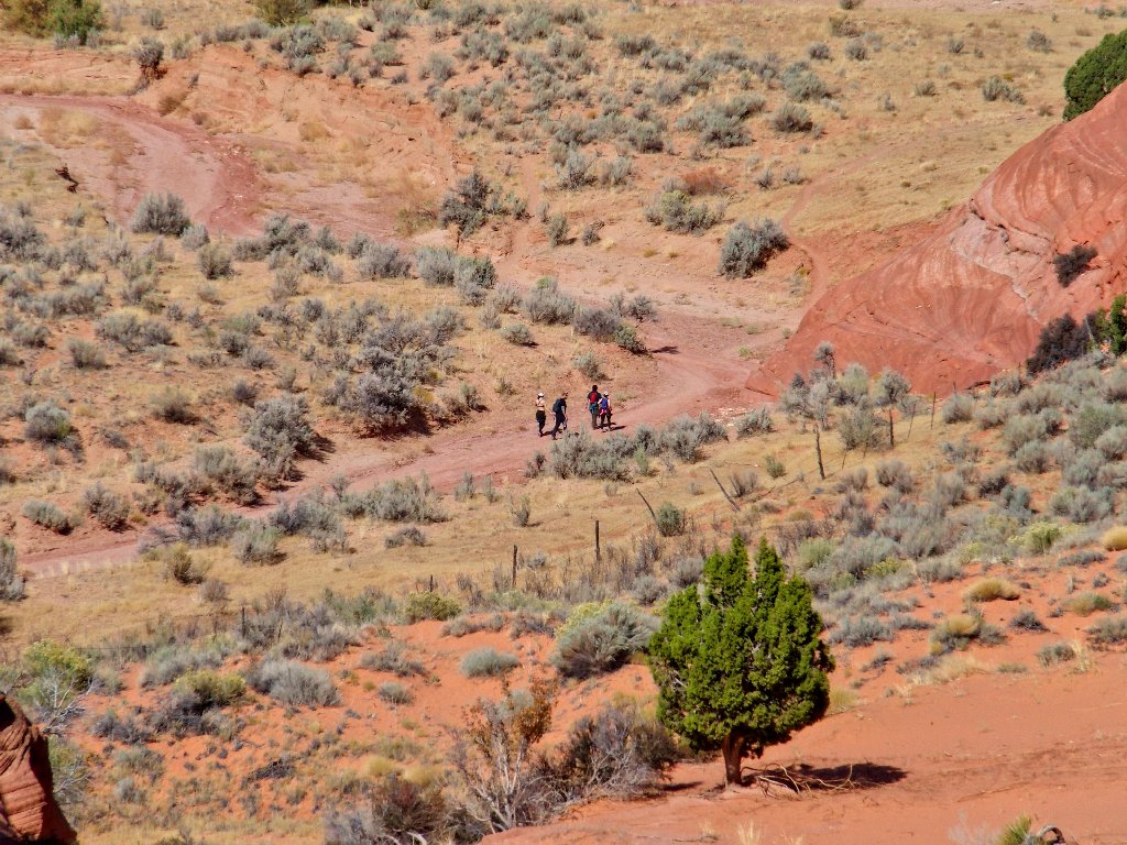
Can you find the hiker? (directly above the nearby formation) ⇔
From here it's an easy downhill, back across the fence and onto one of the many trails that shortcut the meanderings of the wash itself. Today I make sure not to miss a final formation of which I would like a closer look:
I'll call it Pencil Arch

Front and back
Another little arch that had gone unnoticed previously

Today's sole flower entry is a Scottish Thistle
§: Well, I certainly got my uncommon experience today, in this land of
ubiquitous exceptional scenery. Despite extra time for photo-ops and
scrambling, I actually made it back just a few seconds behind the family of four that
I had spotted three miles earlier; in fact, my entire trek took less than six hours.
In one respect, it was good that there had been no rain around here for quite some time; for I was able to avoid encountering any of the infamous pools of cold, stagnant water in Buckskin Gulch itself. Apparently, there always is some of that farther south.
My hiking buddy Gary and I will be back for more exploration, possibly next April, and possibly with friend David in tow. I still have plenty of unfinished business in the area.
| Scenery |  |
| Difficulty |  |
| Adventure |  |
| Flowers |  |