
Vermilion Cliffs Wilderness, Utah
|
Edmaiers Secret Vermilion Cliffs Wilderness, Utah |
April 27, 2019
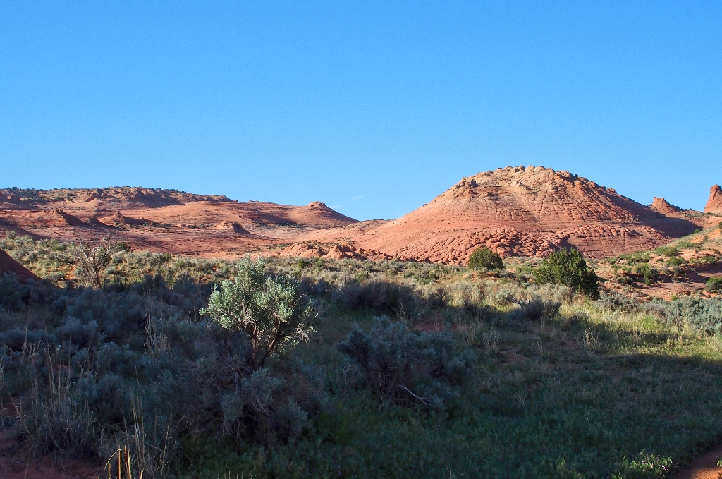
This morning, I will forgo another opportunity to enter the BLM lottery for a Wave permit, so as to hit the road as early as possible. The weather has turned rather warmer than I had wanted, so getting an early start on the trail seems best.
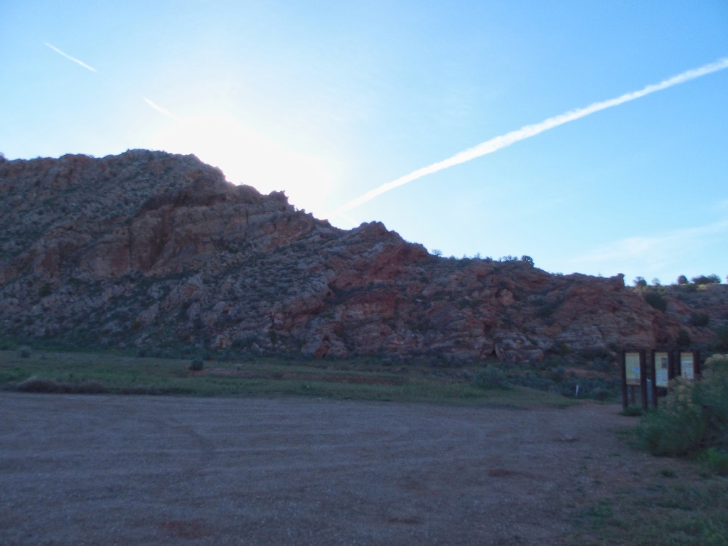
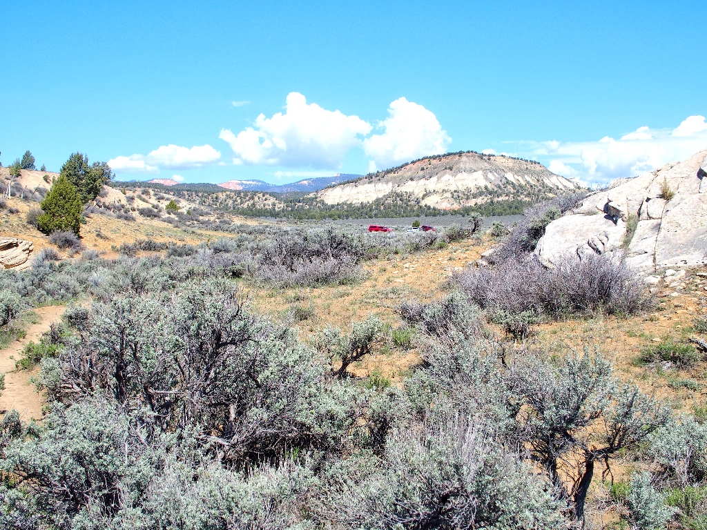
Beating the sun to the trailhead
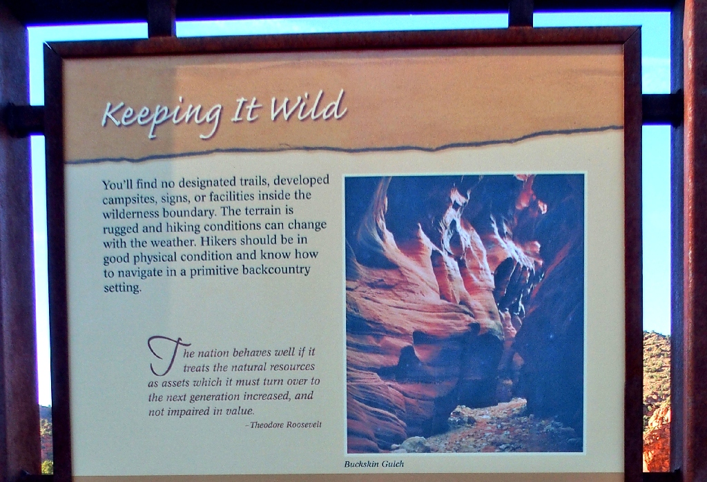
Although I am not headed for Buckskin Gulch, I make a contribution anyway via a fee envelope.
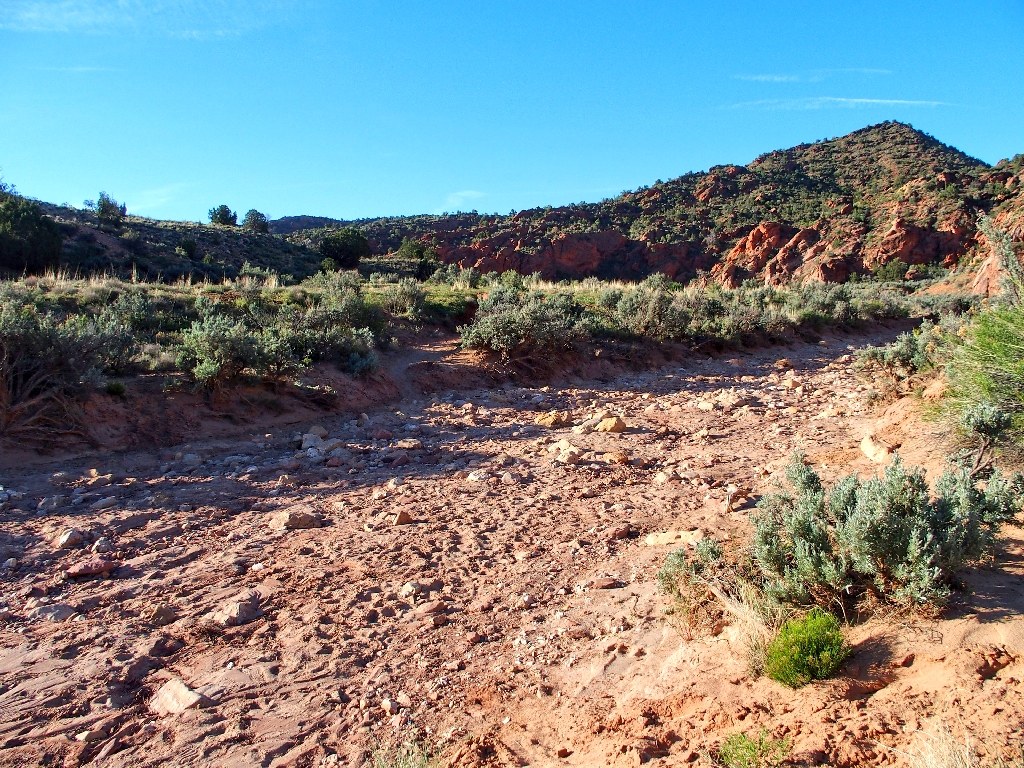
Trails through the brush shortcut the dry wash
Vermilion Cliffs National Monument lies entirely within Arizona. The smaller Vermilion Cliffs Wilderness actually surrounds the monument, acting as s sort of buffer zone from relatively unprotected lands. A portion of the wilderness extends into Utah, and Google Earth's map shows it including today's venue; so I'll accept that.
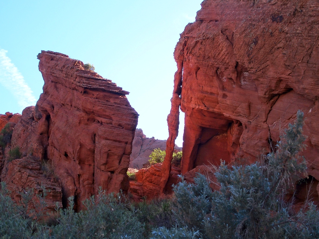
An unexpected arch off to the left
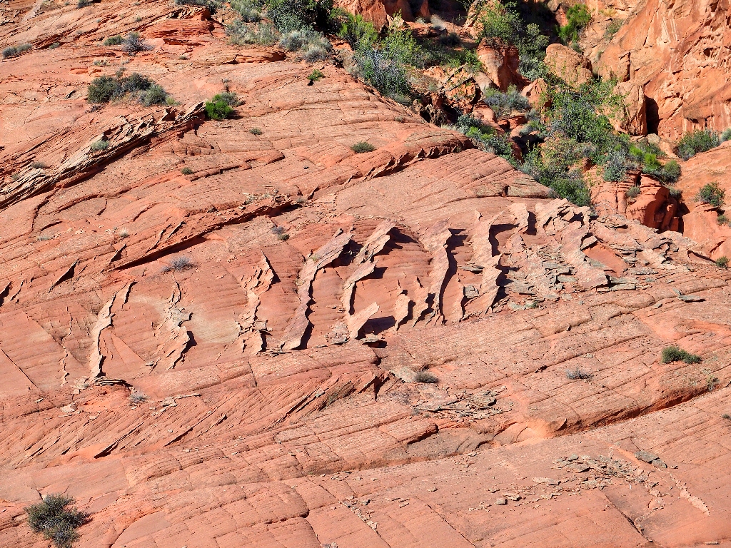
Fins in formation to the right
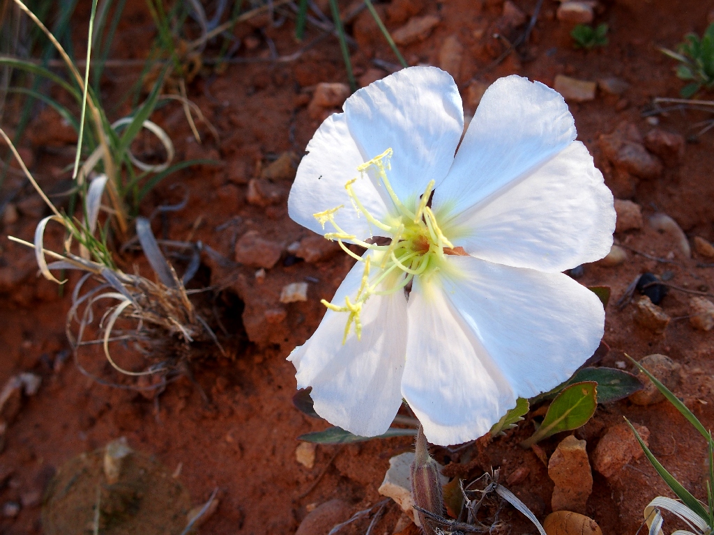
Tufted Evening Primrose
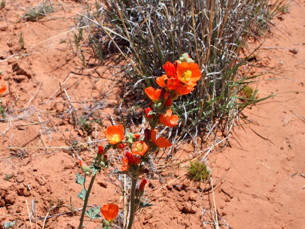
Globe Mallow
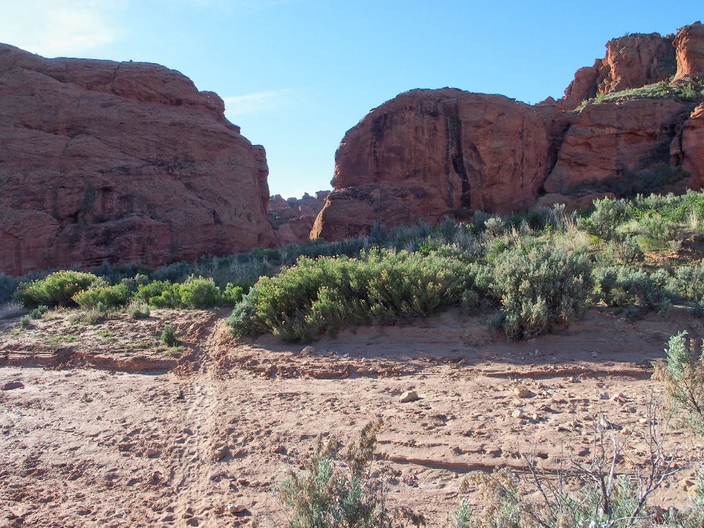
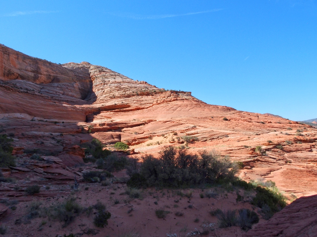
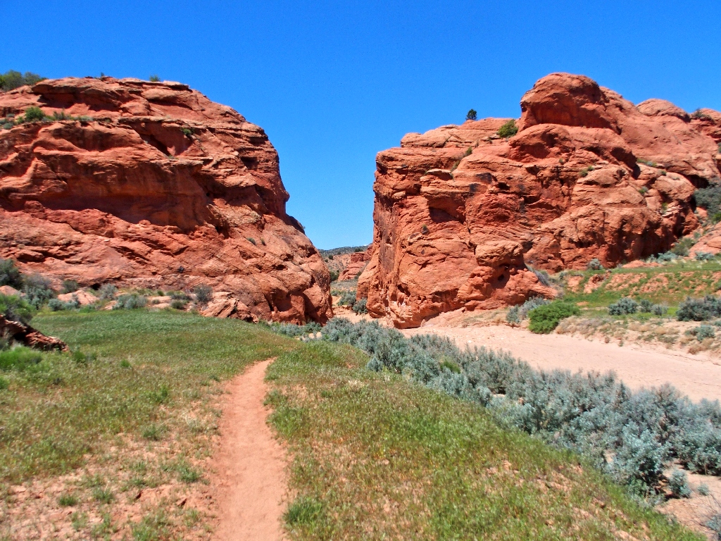
My venue is waiting
The plan is to cut left off the trail at some point, because Buckskin Gulch is
not the destination. A total of a mile and a half of walking gets me close to
a barbed-wire fence. A portion of it is down, so this is a good place
to cross it. Following the inevitable use trail for a time, I don't want to
miss anything. Angling over toward the nearest rocks proves a good choice.
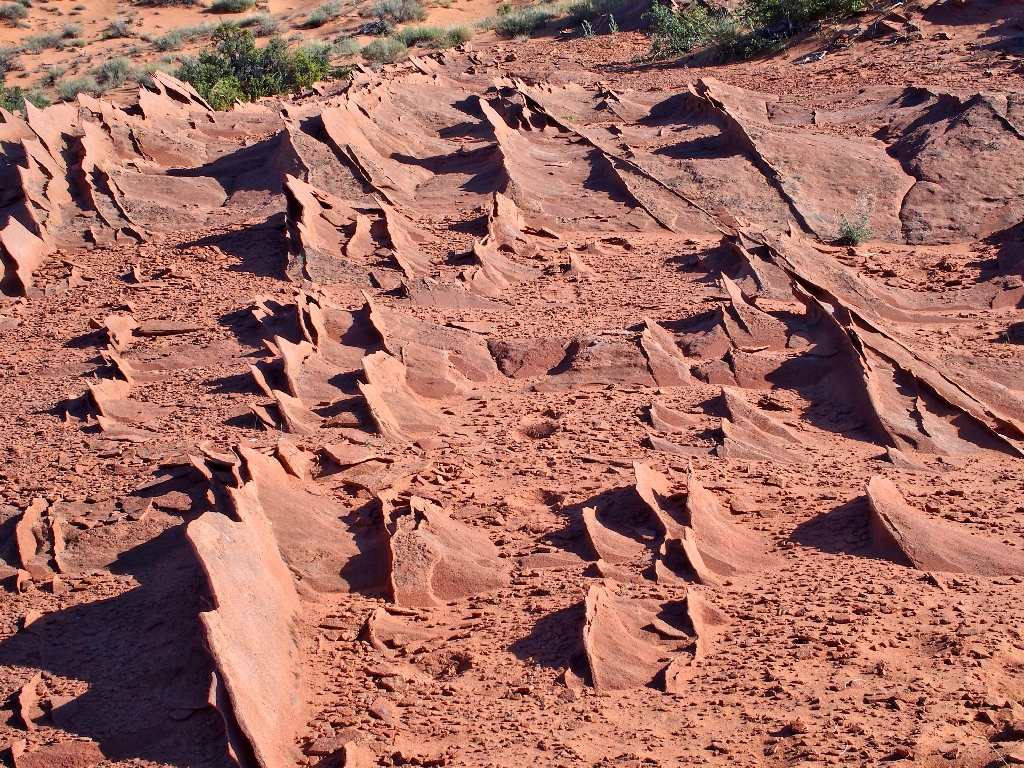
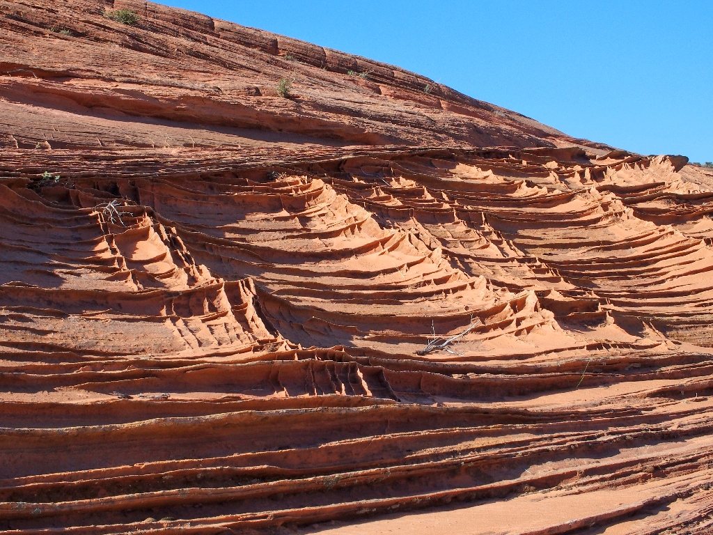
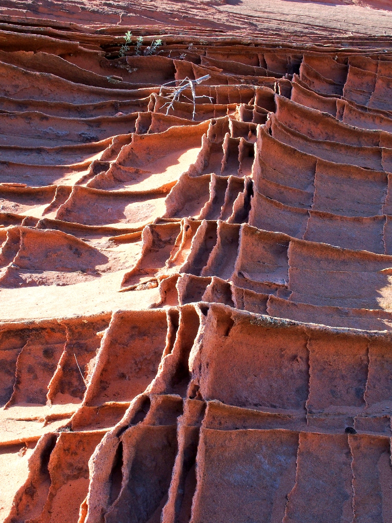
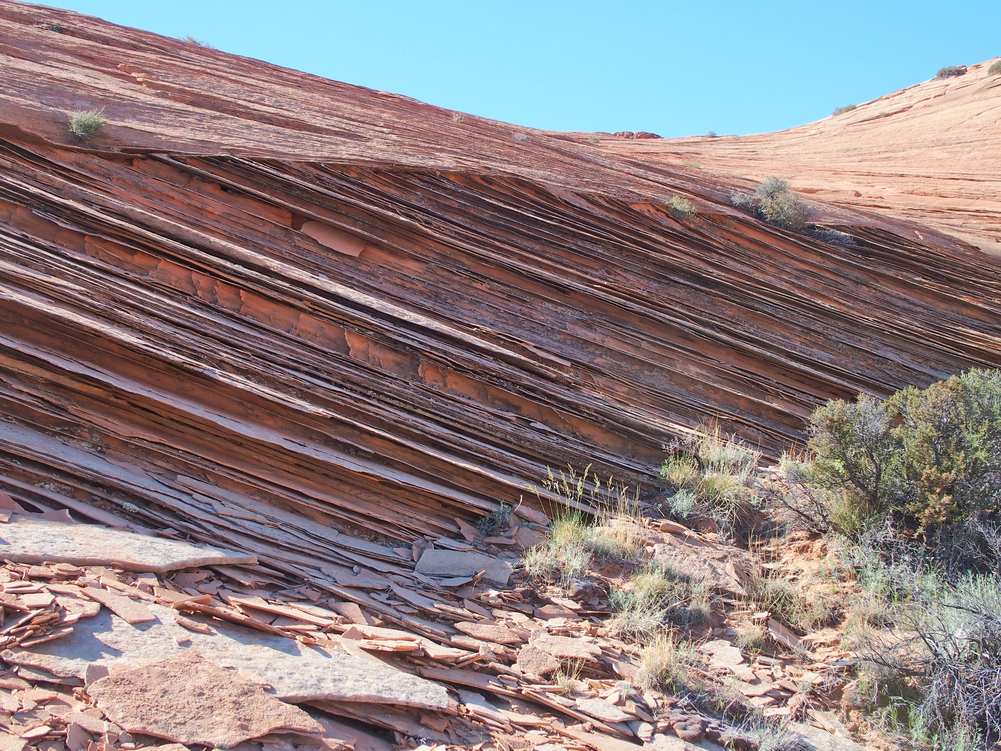
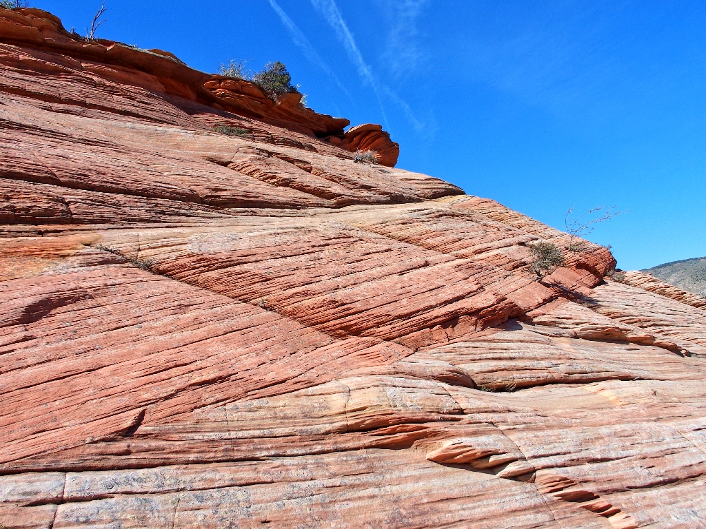
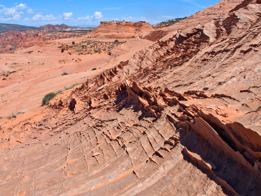
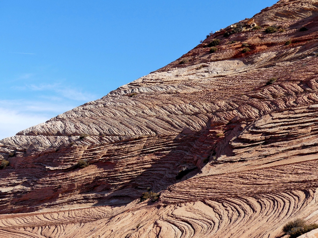
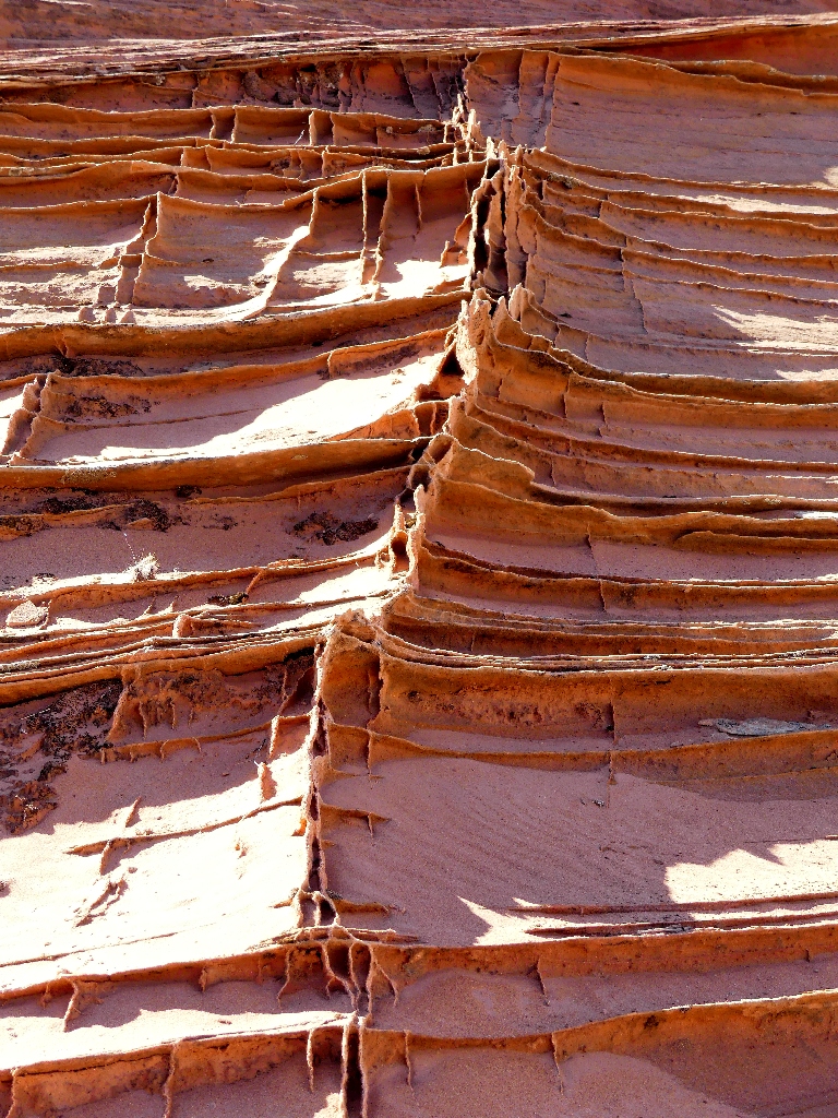
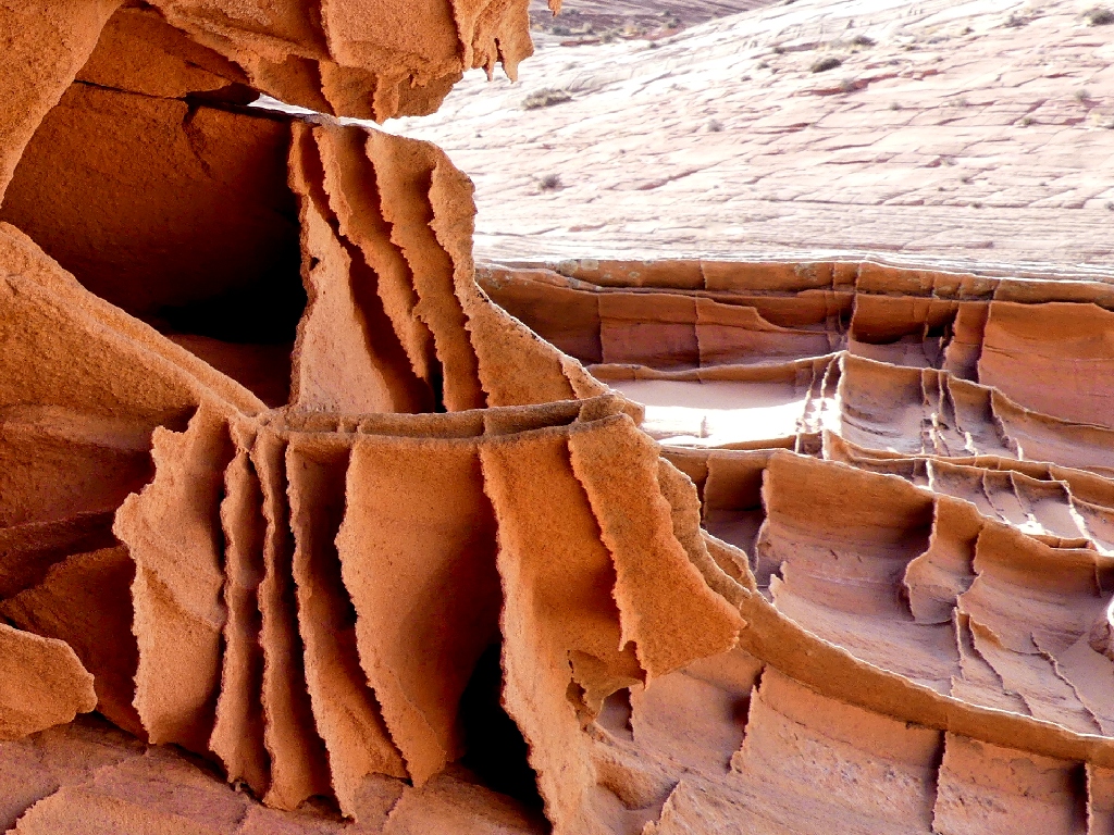
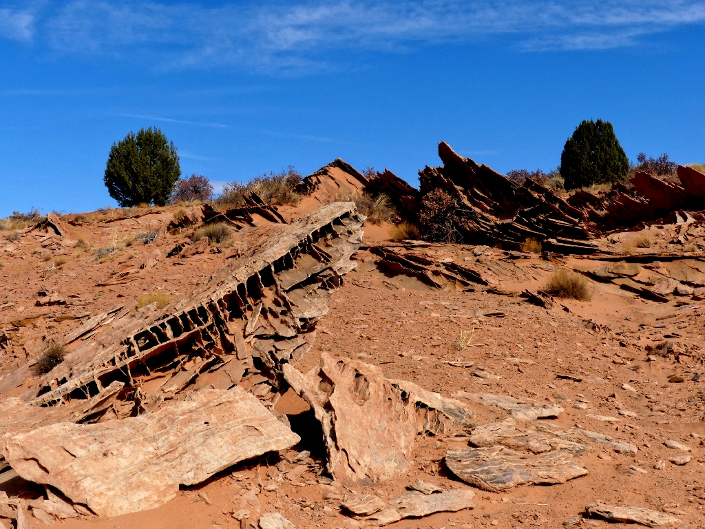
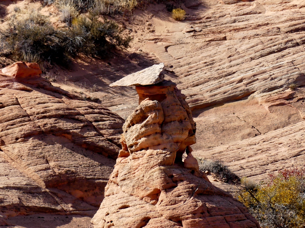
My first encounter with this type of formation
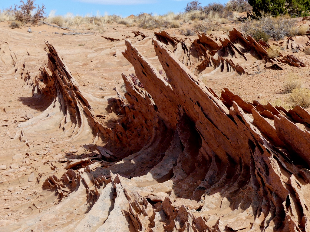
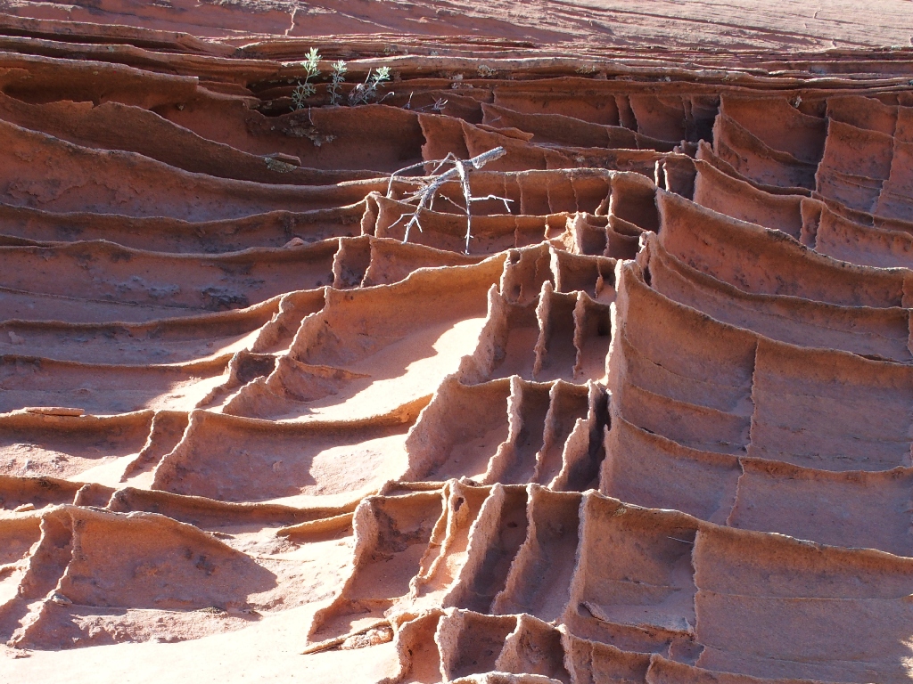
The fins are so delicate — as little as about 1/20-inch wide in places.
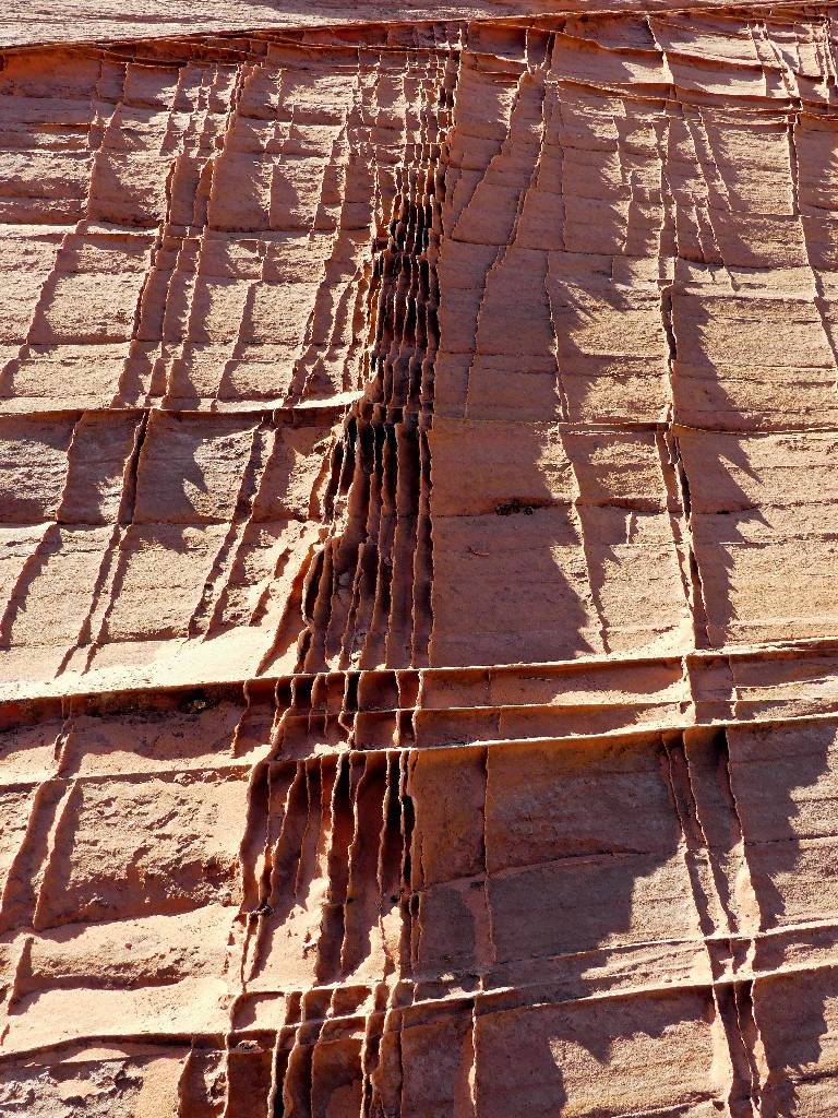
Nature's lattice-work
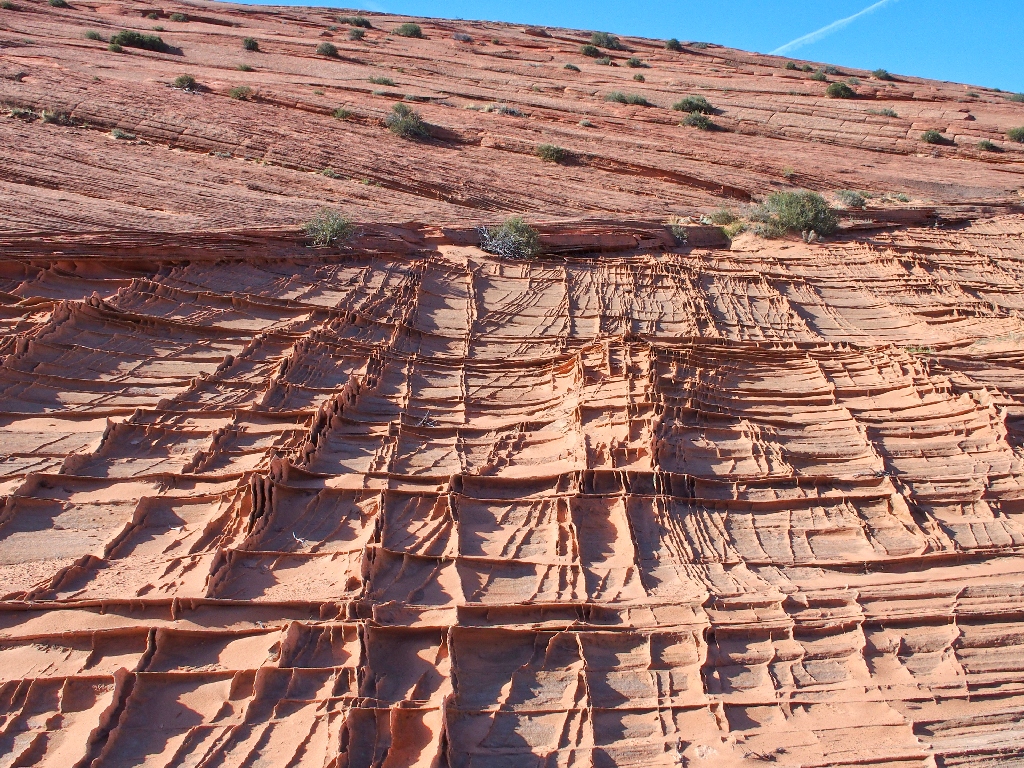
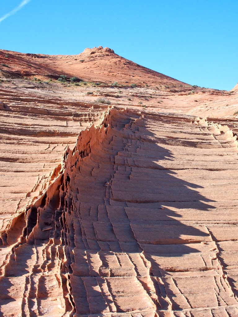
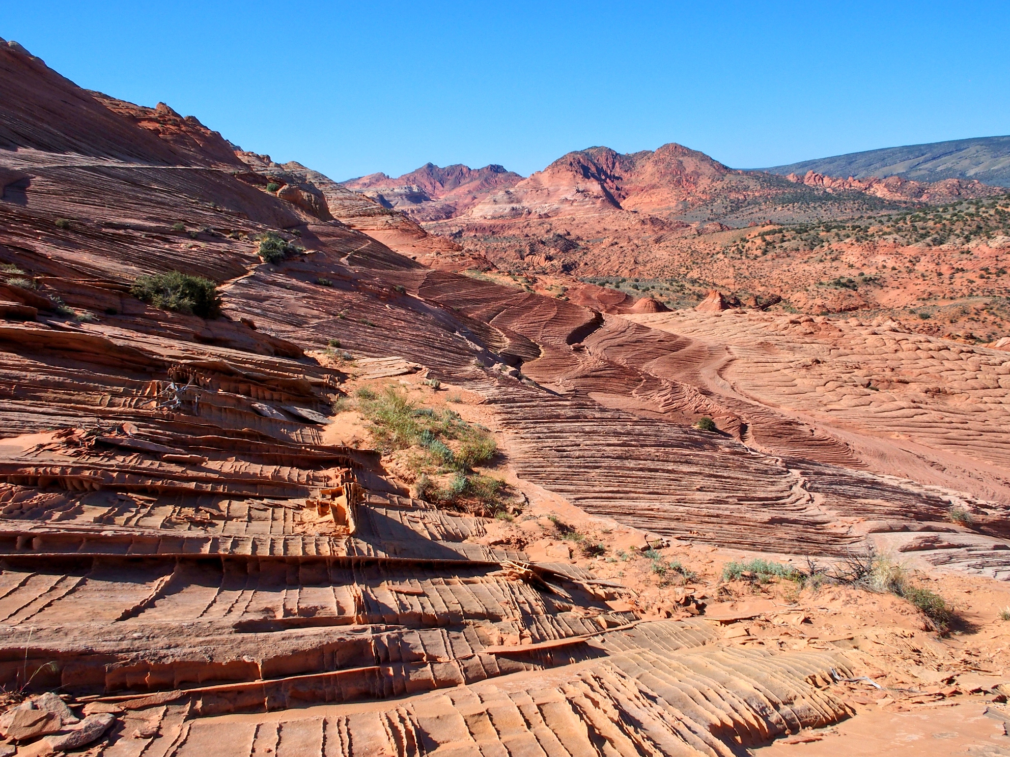
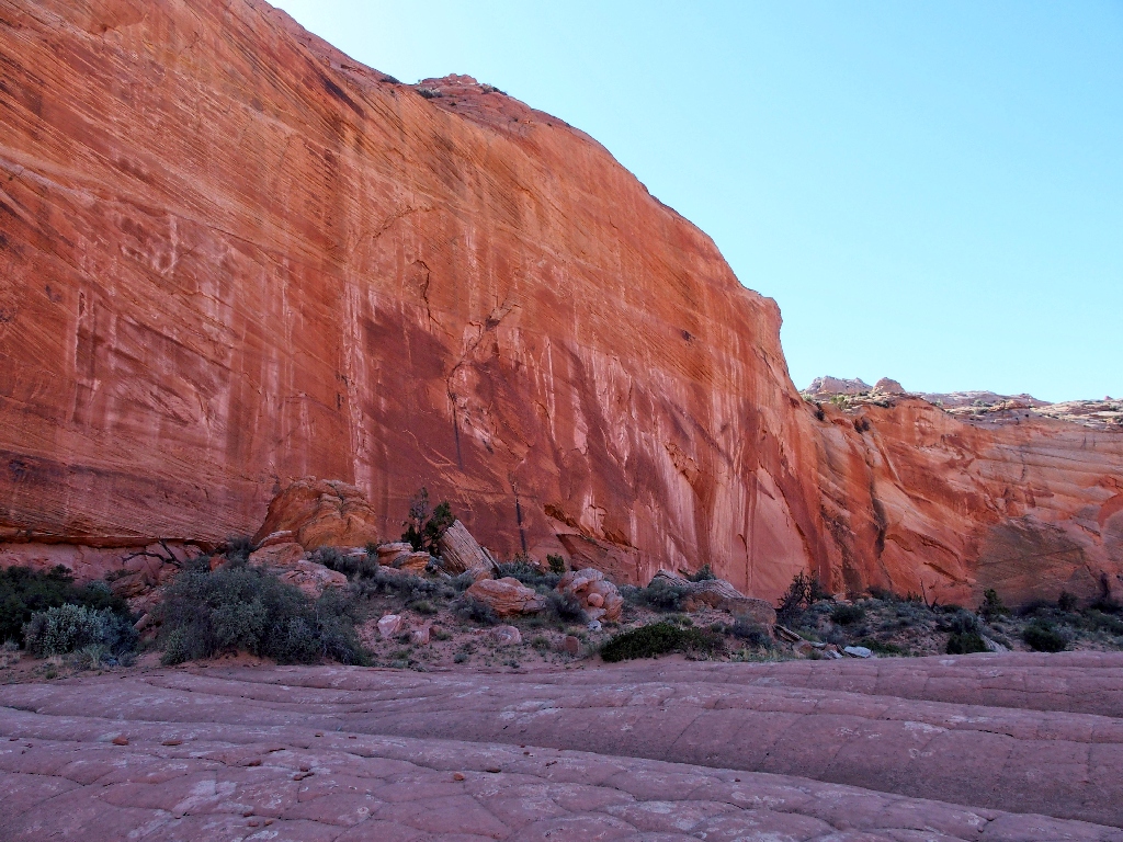
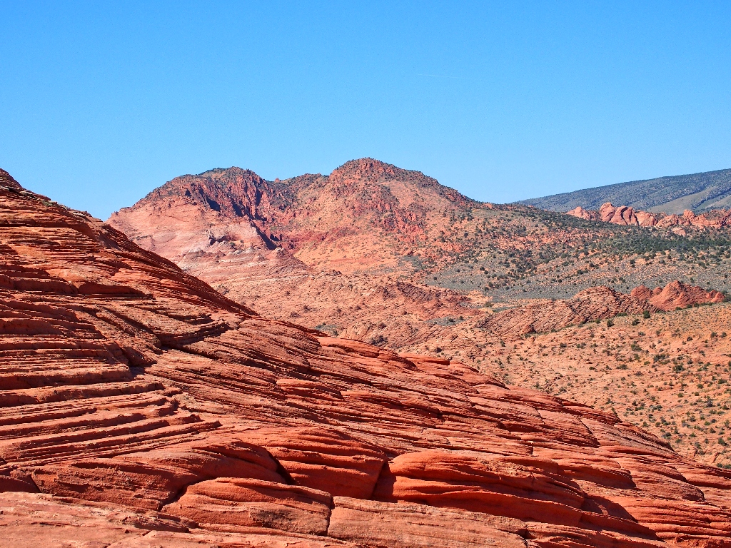
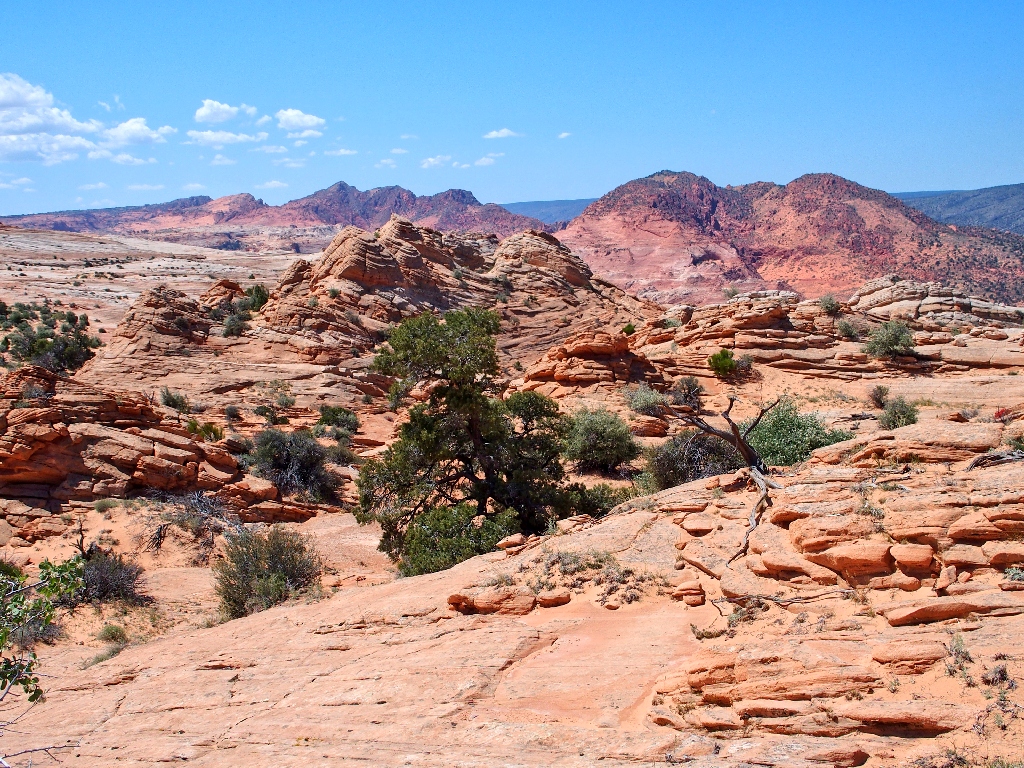
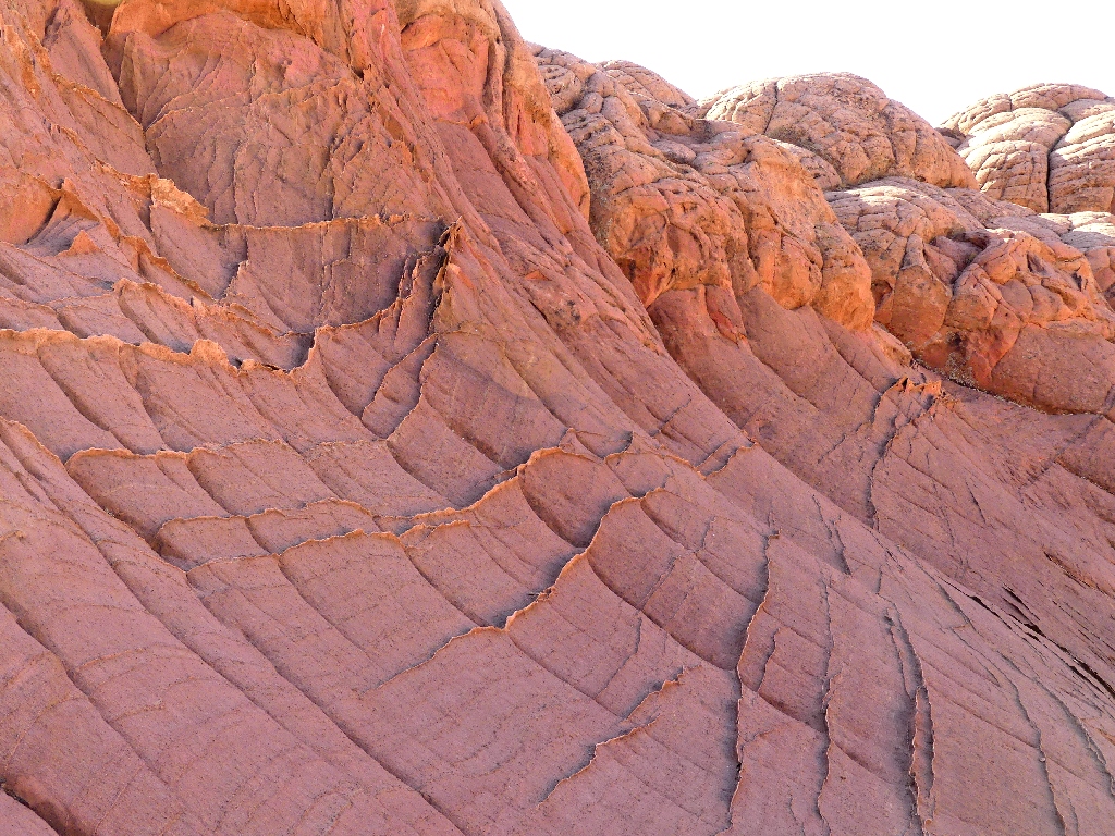
Just ahead is a remarkable vista, the likes of which I had not seen.
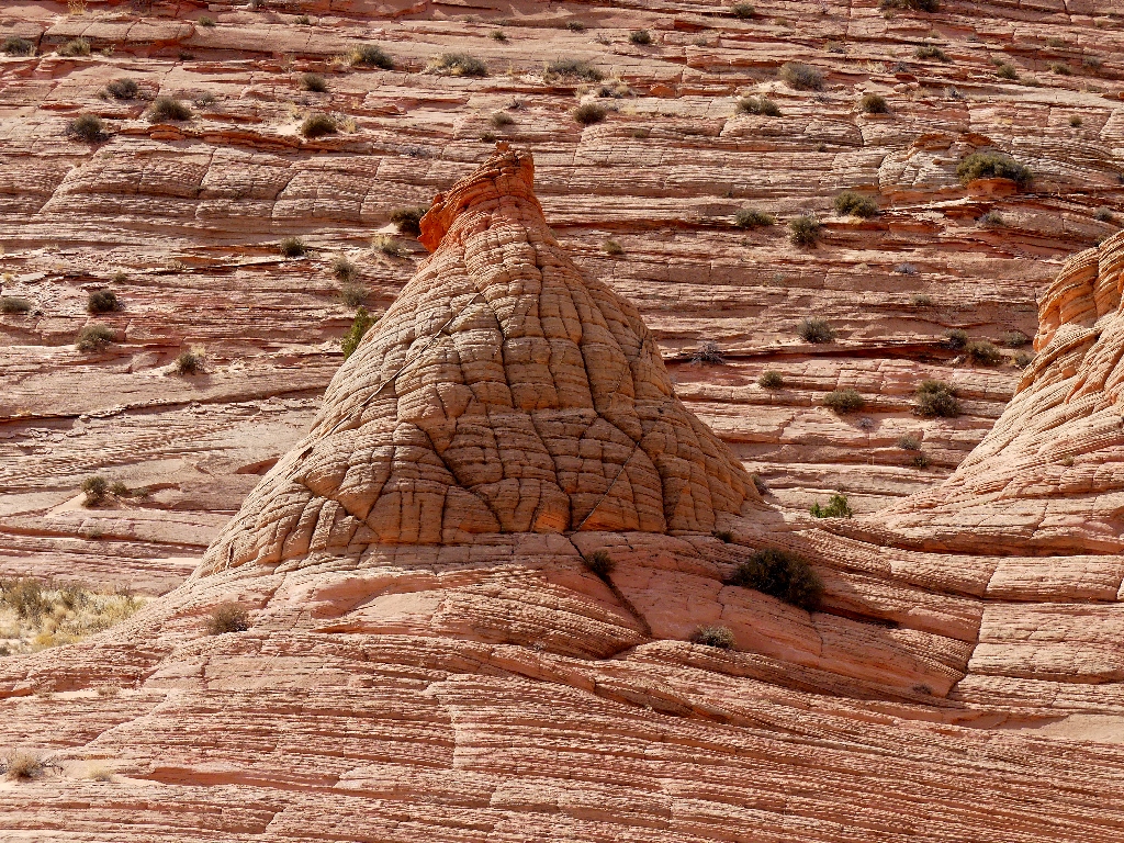
In the Valley of the Brain Rocks
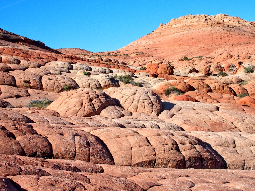
Scampering around on these things is easy and fun
Other unusual formations draw my attention:
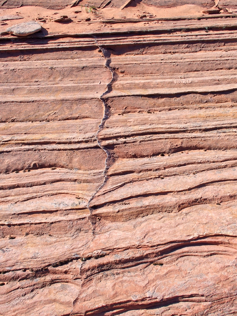
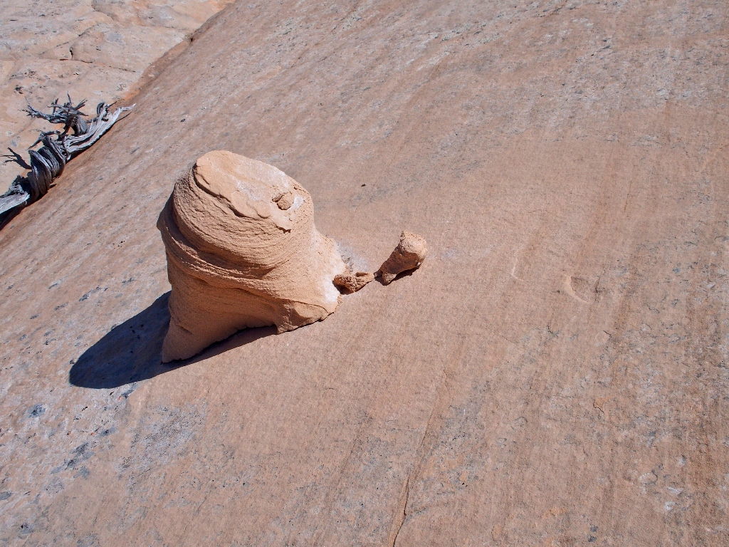
This is a new one on me
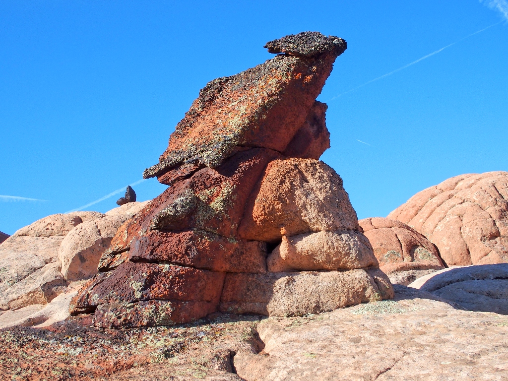
Rather odd as well
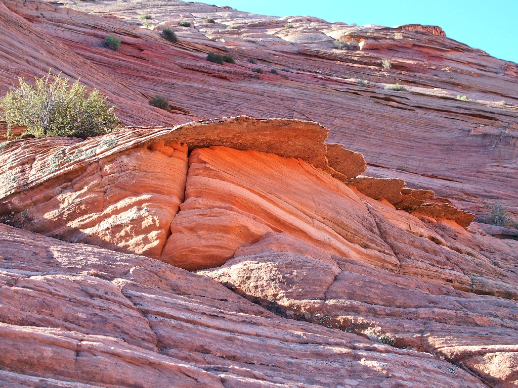
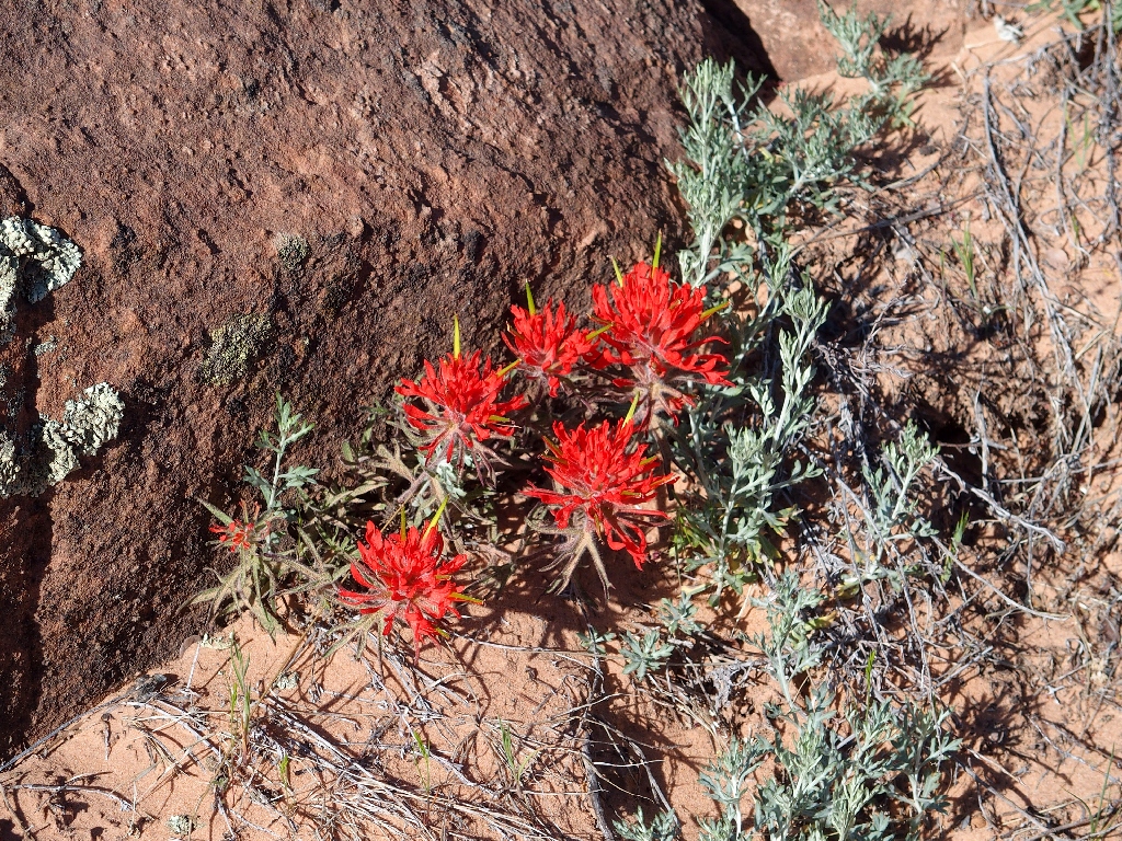
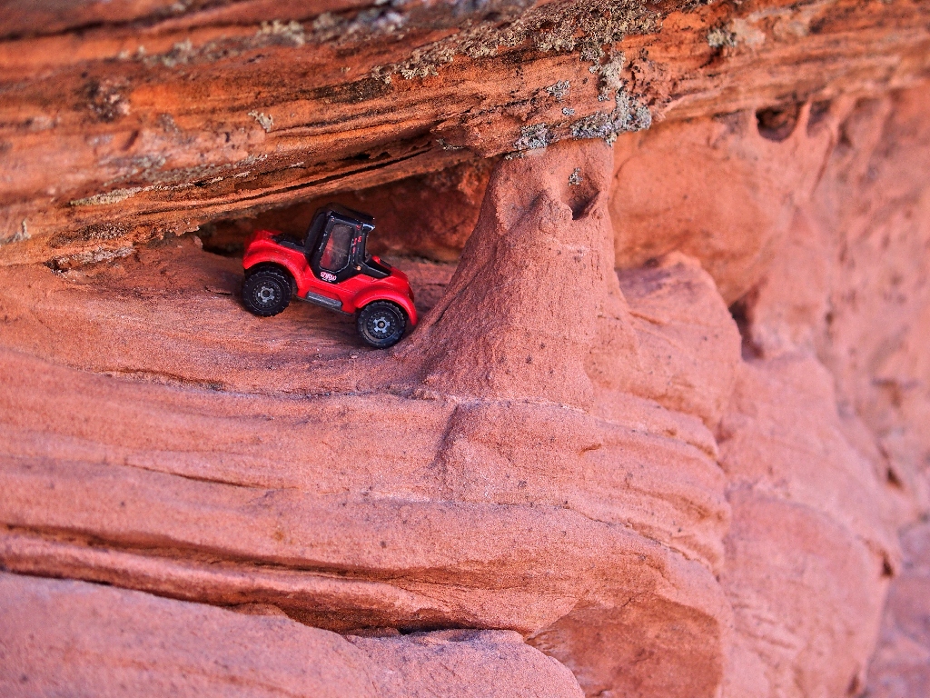
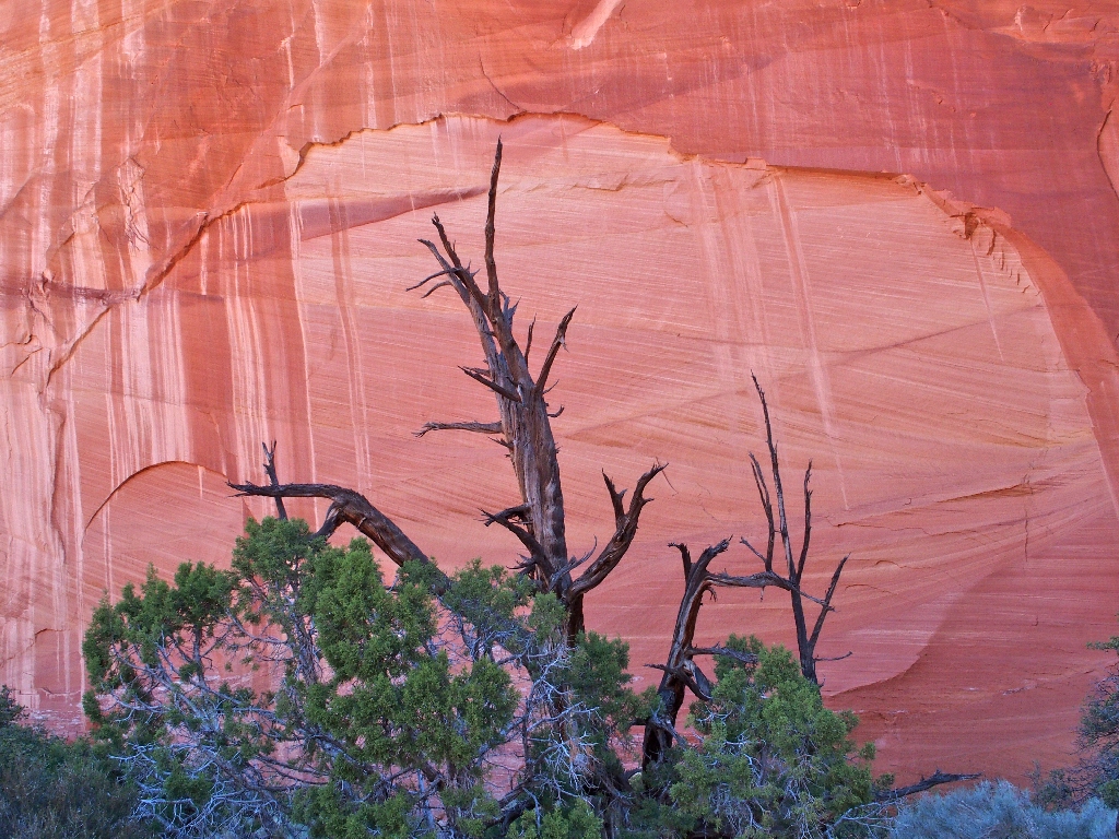
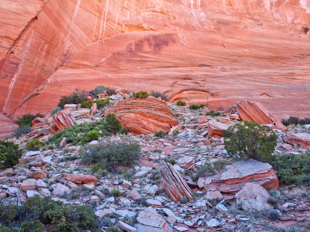
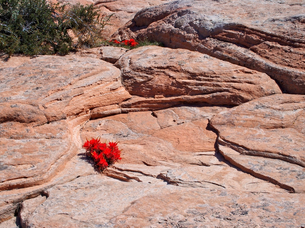
Red things crop up in unexpected places
Pressing on
This area, also known by some as Brown Pocket, was named after Bernhard Edmaier, a German geologist, photographer and author of geoscientific books. A picture taken here is included in a collection of aerial landscape views from around the world. The name Edmaiers Secret now is displayed on a BLM map, so it's official.
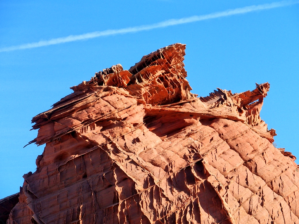
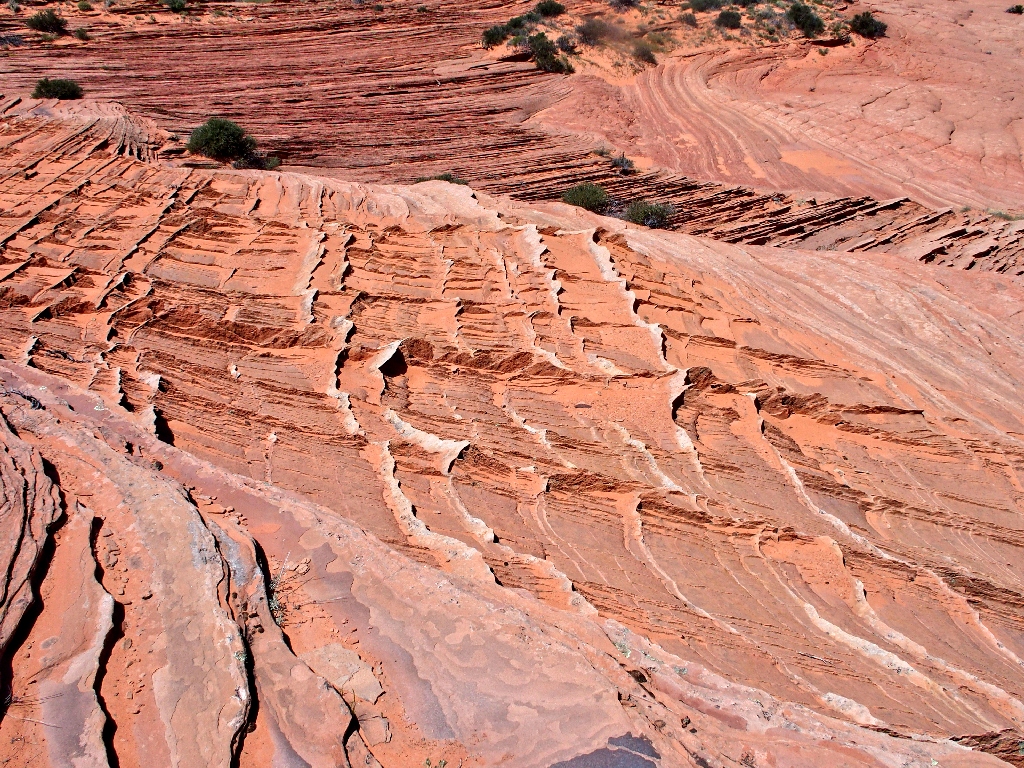
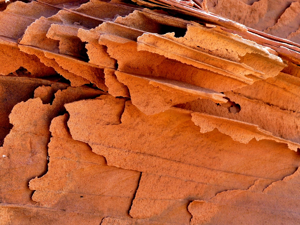
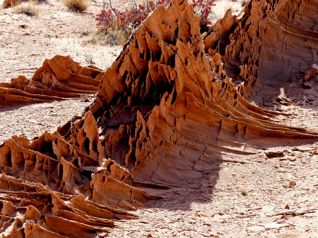
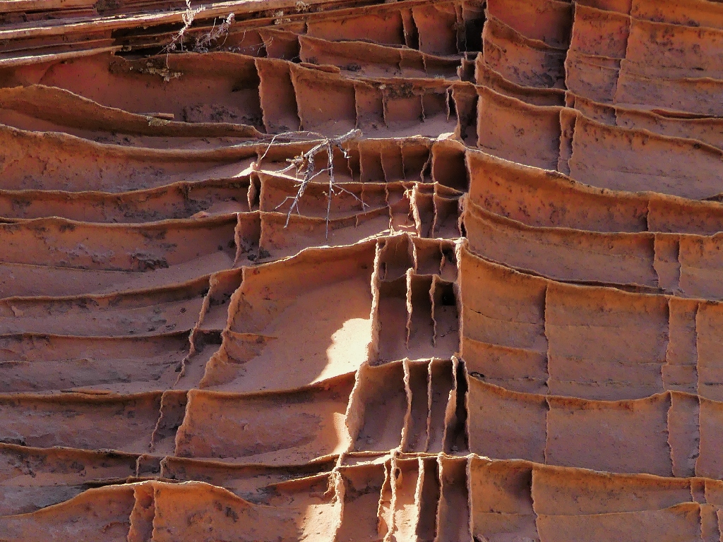
Utterly fragile, and utterly beautiful
It might be best just to let the camera do the talking for a while.
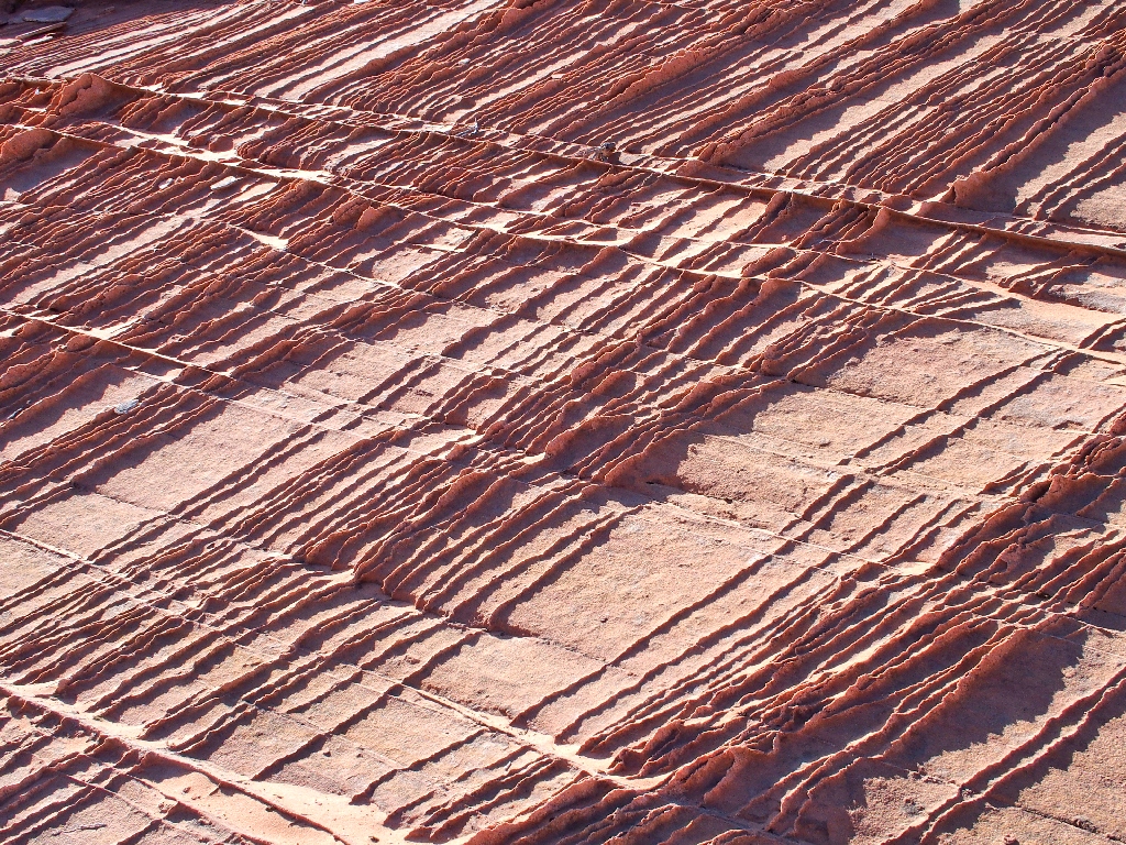

Where else can one find stuff like this?
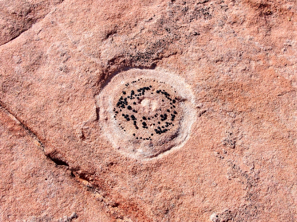
Disk Lichen Lecidea
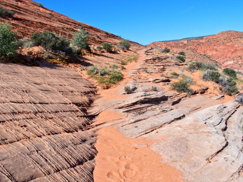
Following the sandy path
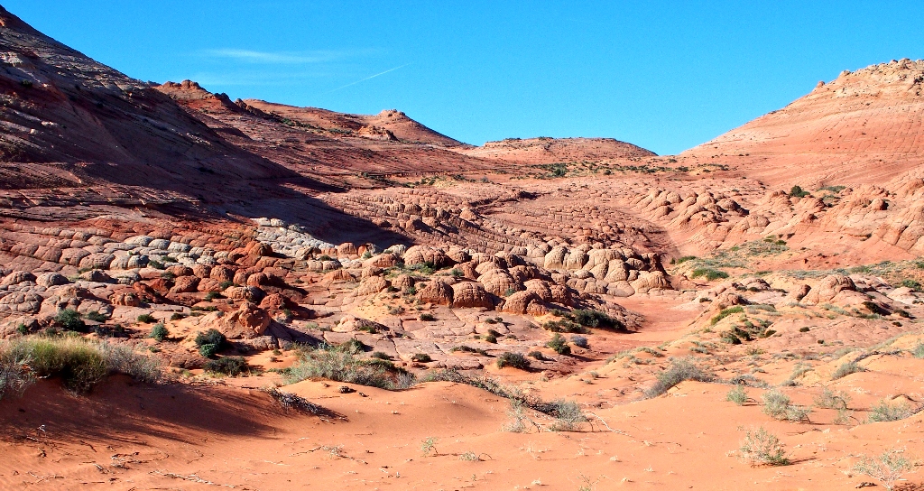
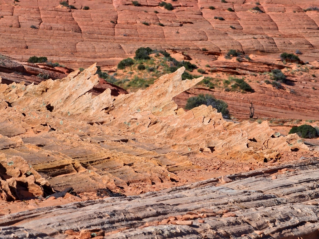
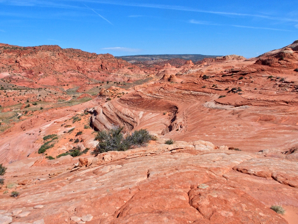
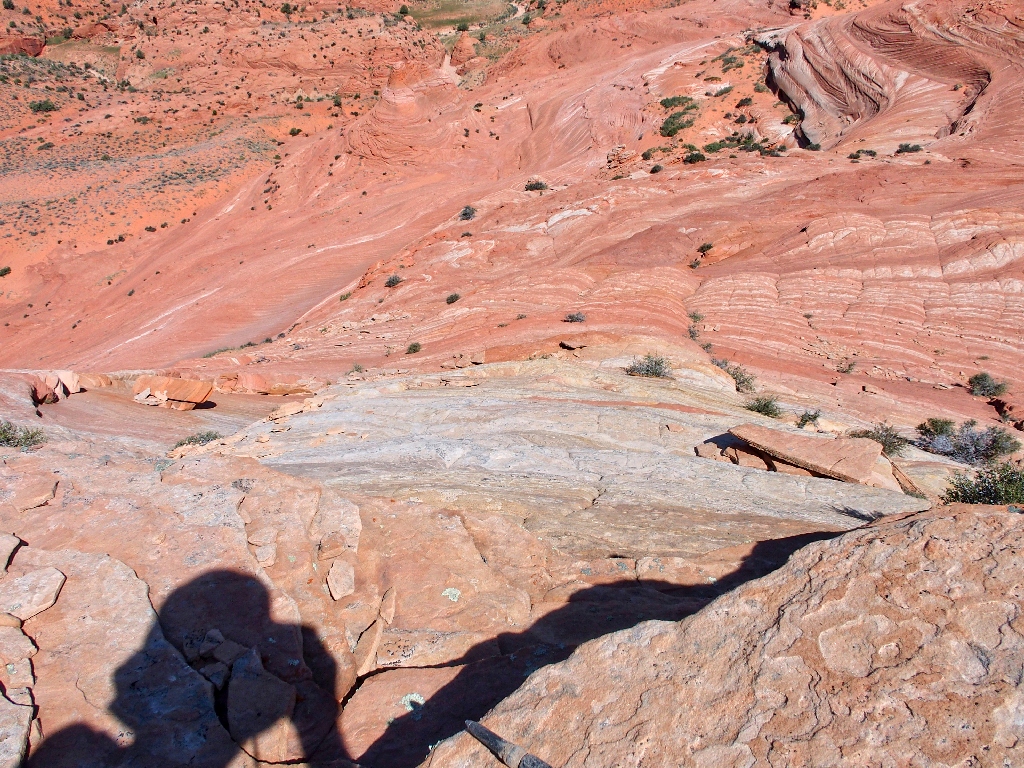
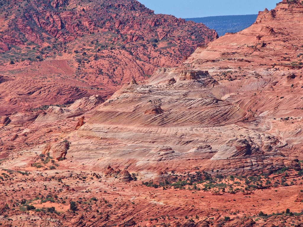
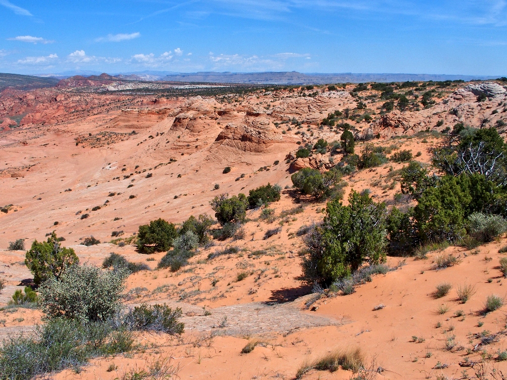
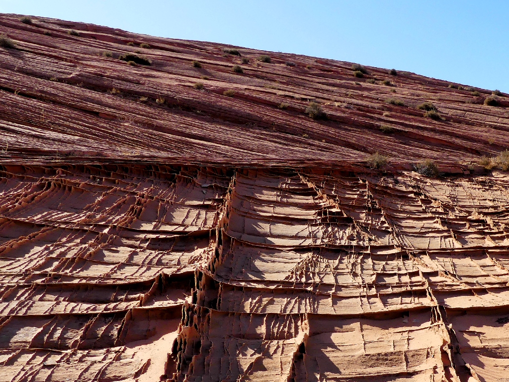
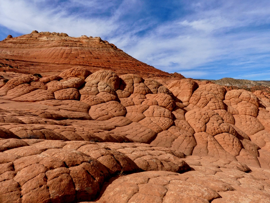
Over the next rise is a scene so mind-blowing that it is difficult to
imagine a more fantastic landscape.
This is why I go hiking
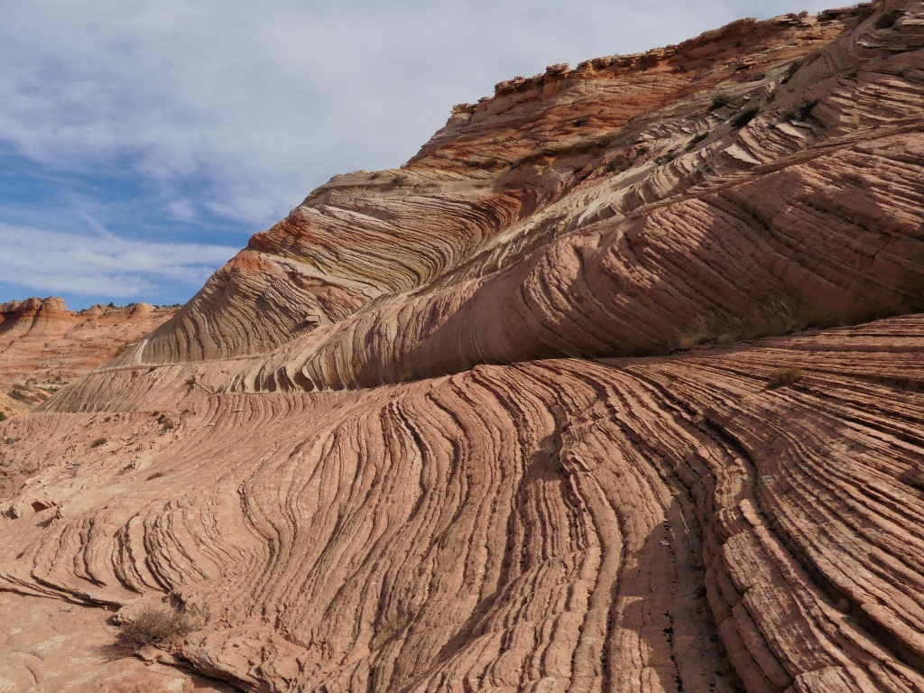
Judging it too potentially destructive to pussyfoot my way through this bizarre array of natural insanity, I scamper down to the flat area on the right. Around the next corner is a pink neighborhood with a whole new personality.
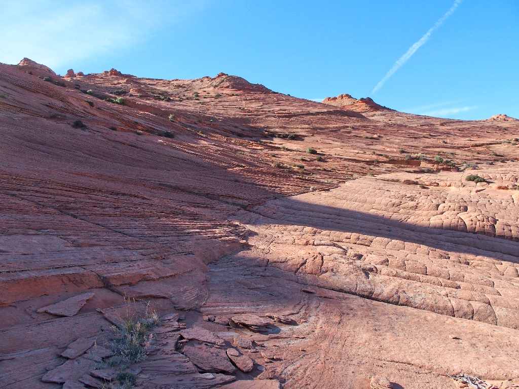
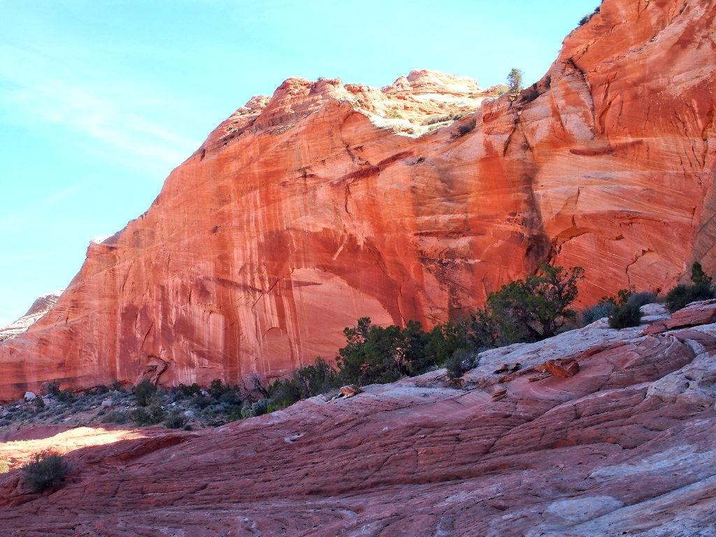
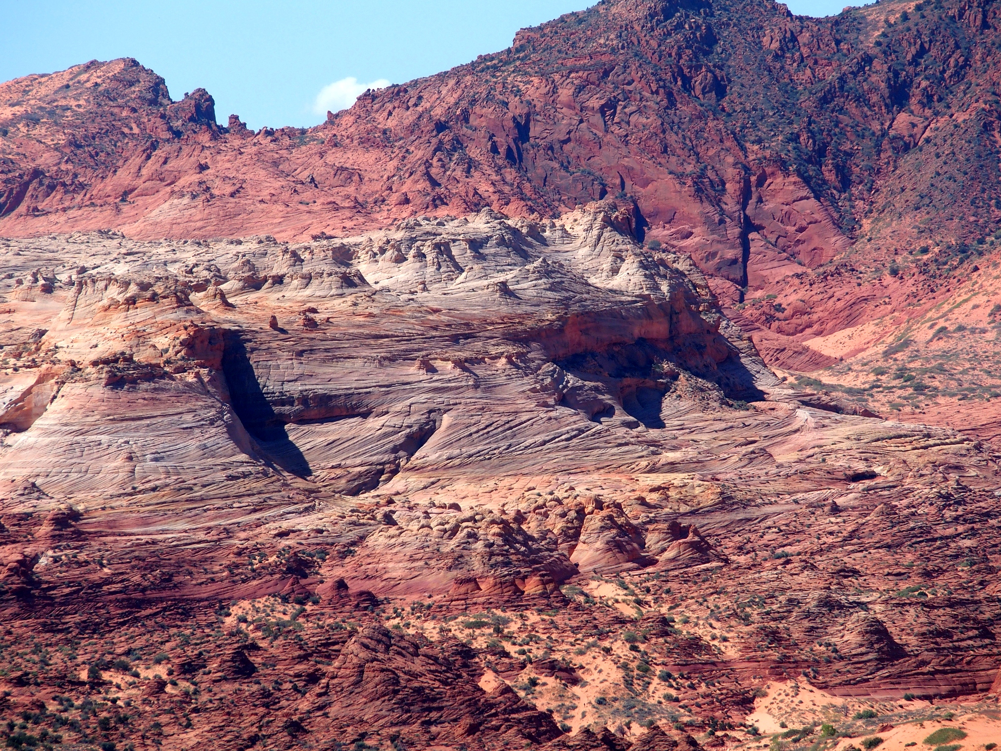
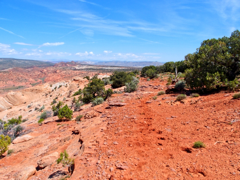
The edge of West Clark Bench
Marvelous
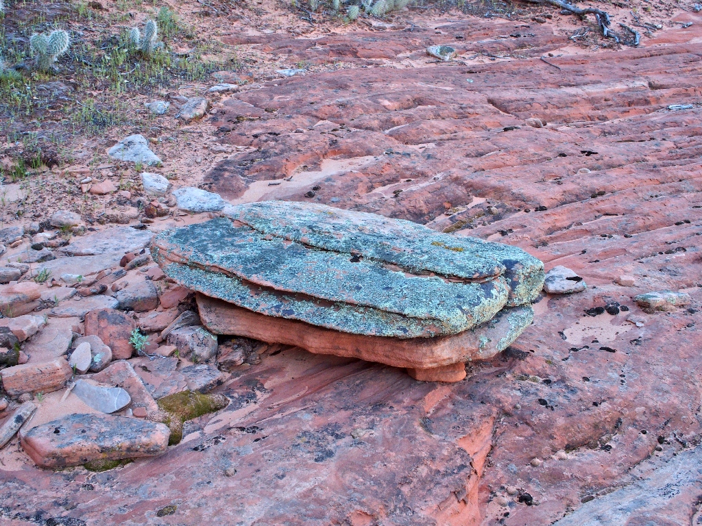
I try sitting on this, until it moves
The crux of the mission is at hand. Just ahead is an incline known as 'The Ramp' that reportedly provides access to West Clark Bench itself. It isn't much of an ascent overall; but when I tackled a similar challenge over at The Wave four years ago, I was stymied by a scary section and turned back.
The Ramp is my ticket out of here
Also, it is warming up, my water supply is not abundant, and there is of course
the issue of a bandaged thumb that I broke yesterday (sort of) over at Lick
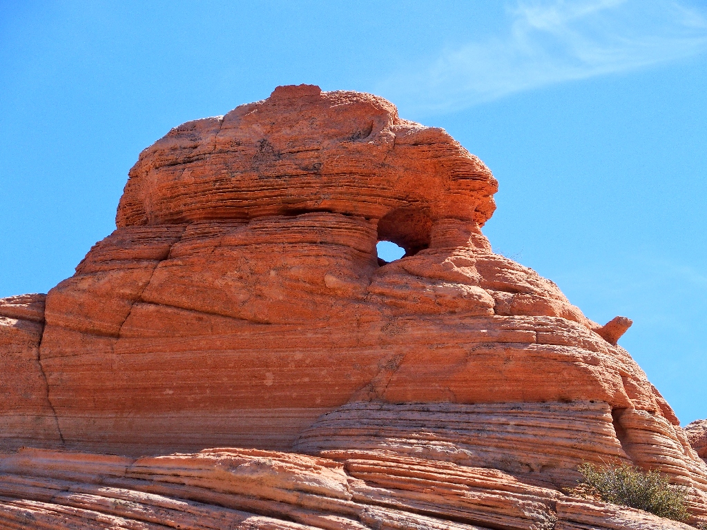
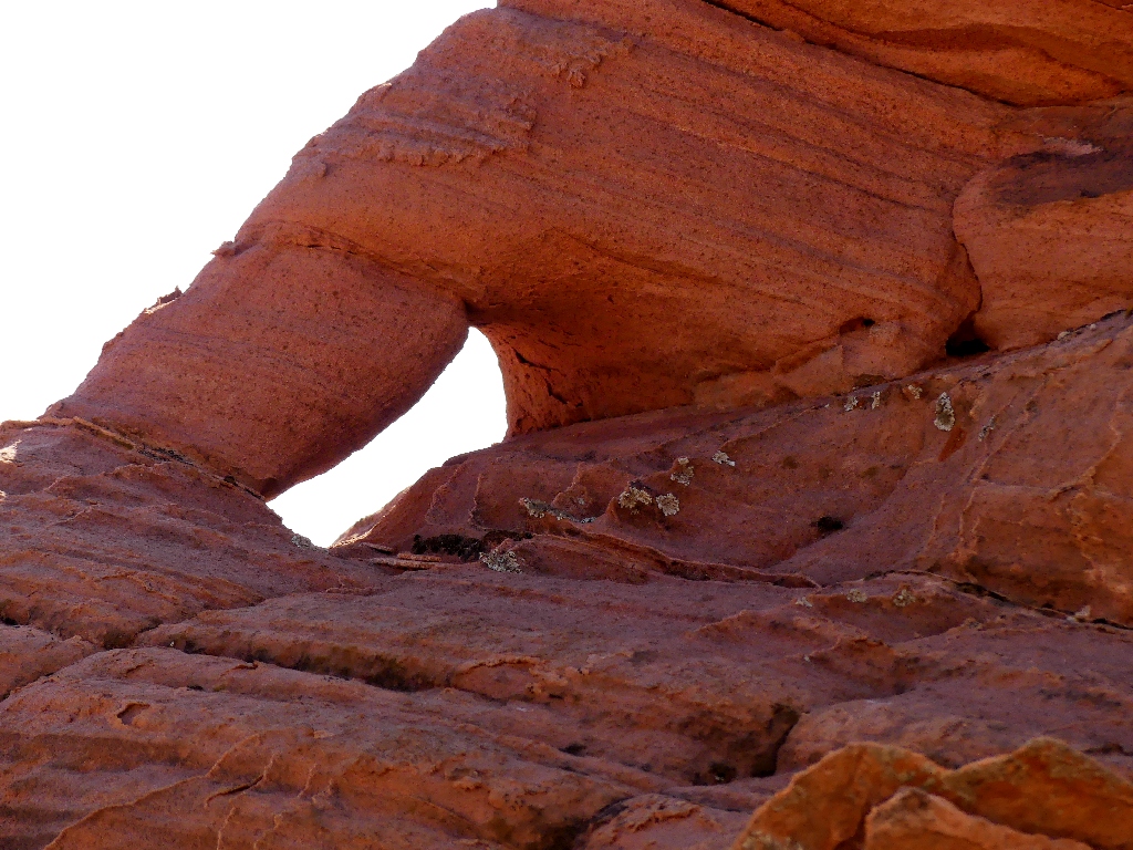
Wash. A number of photo-ops await me on top, however, including what
just might be the cutest little arch anywhere.
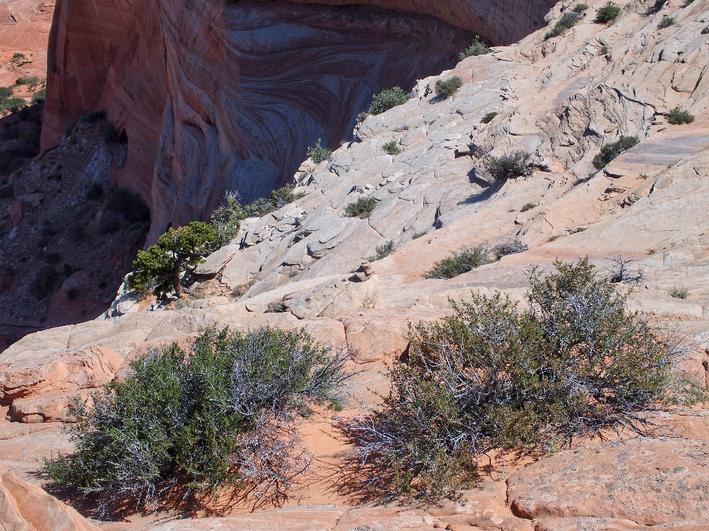
An elegant rock garden
I can't stand it. I'll just head over there, climb up a ways, and see how it goes.
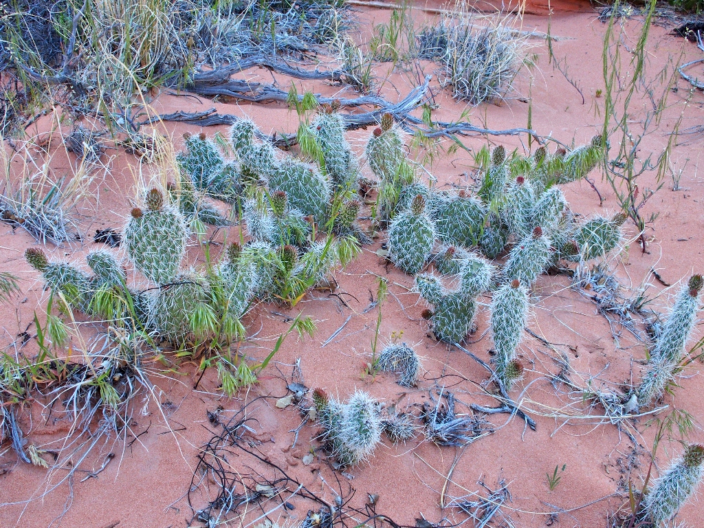
Prickly Pear Cactus
Looking back
Starting up the ramp
A couple of spots necessitate slow, careful scrambling. In one place I must use a one-inch fin as a handhold, and in another I must rely upon an old root not to break as I pull myself up. It all works out, though; and soon the worst is over.
Been there
That little cairn isn't very useful now
As long as I don't have to go back down that way, everything will be fine; for now I am atop West Clark Bench!
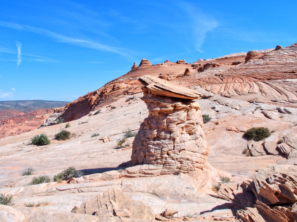
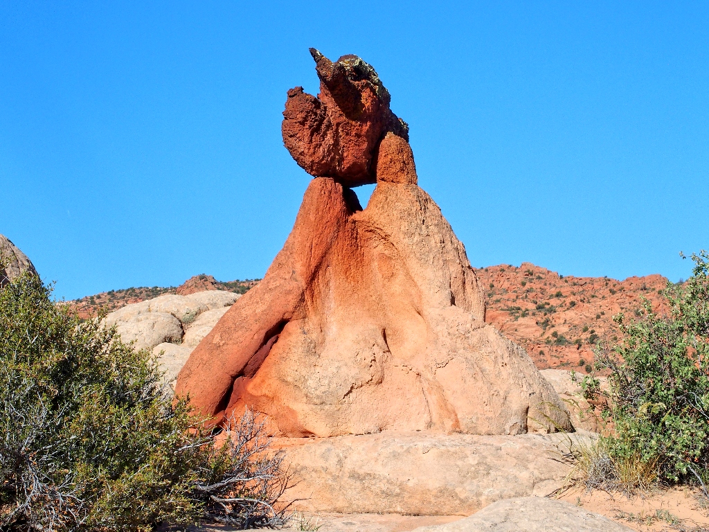
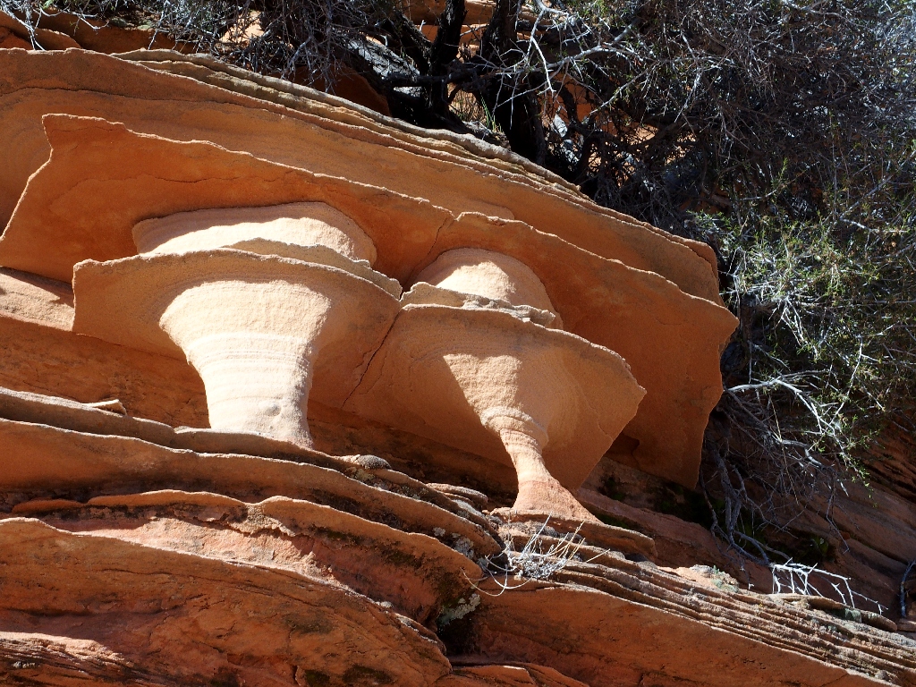
I don't know what to call this guy. How about The Honeypot?
Or perhaps the Cookie Jar?
One of my first rewards is an awesome view to the southwest, of the most coveted location of them all. Remarkably enough, most if not all of the twenty hikers over there have no clue that it is just as special over here.
The Wave (lower center), and a hiker in the sand (bottom center)
⇔
I am looking back in time as well; for at The Wave (in Arizona), the time is one hour earlier.
The trail to The Wave is over there to the west
Also, the northernmost portion of the world's longest slot canyon is just out of sight below.
More special stuff
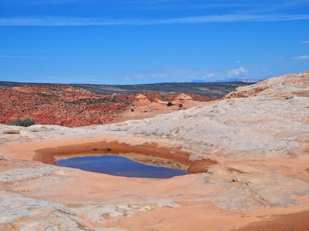
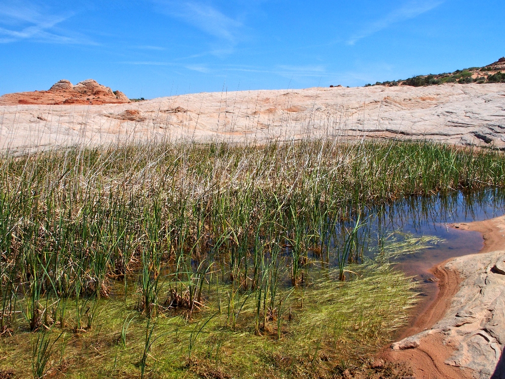
What's this? Cowboy water tanks.
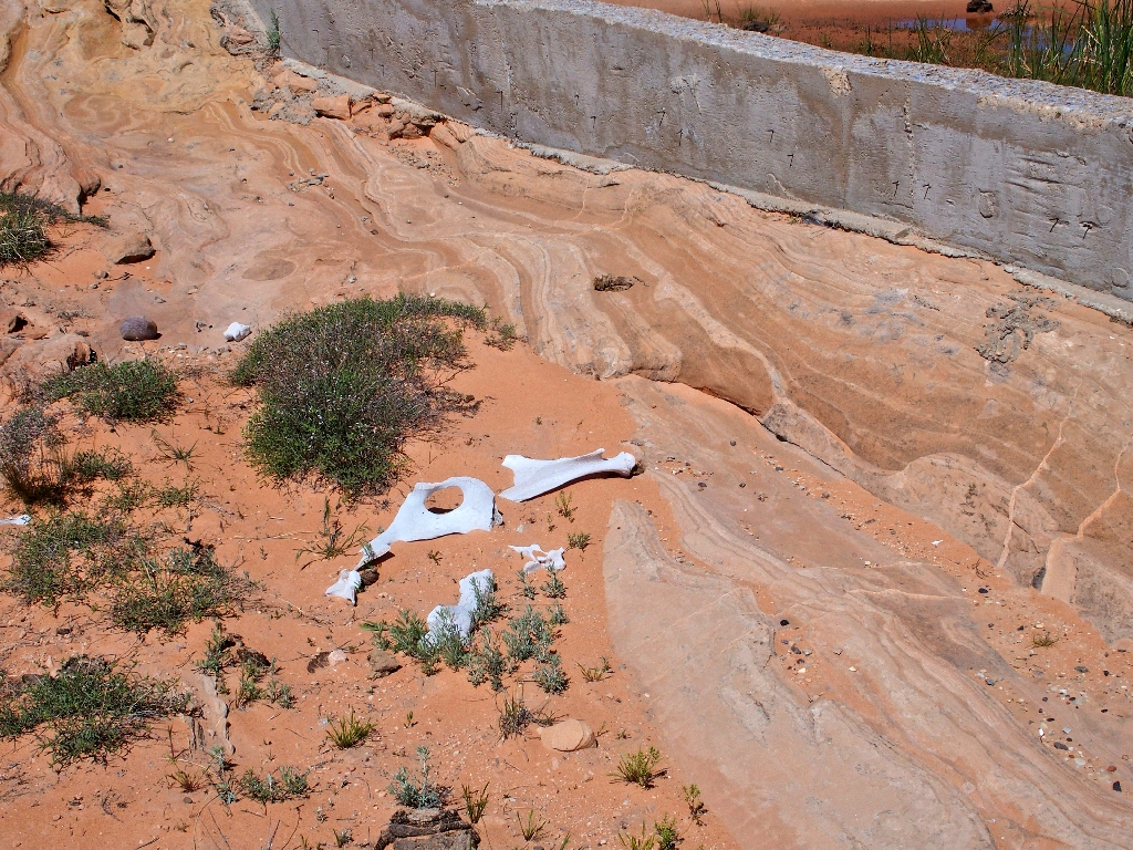
There even is a little dam
There is much to explore in several directions
I need to locate that tiny arch; but the GPS leads me in circles until I finally recalibrate the compass, after which it takes me right to the object. Unfortunately, my quest proves highly disappointing.
The little arch is broken. Horrors!
Whatever the cause of its demise, this guy was intact just two years ago (see Addendum). Had I known, I might not even have ventured up here at all.
That setback seems to have knocked a bit of wind out of my sails. I could do more looking around; but the noontime sun is beating down now, and I don't know what obstacles might be encountered in trying to get off this mountain. Knowing that I probably will regret it later, I opt to start back without further ado.
Hugging the rim
Less than a mile down the way, a seemingly easy descent presents itself.
It's deep sand, but it's downhill, so it's okay
The occasional flower patches are delightful:
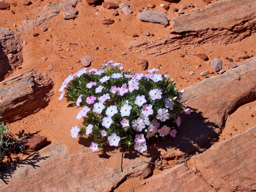
Spreading Phlox
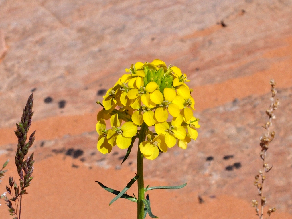
Western Wallflower
Back in fin-land
It seems that I have crossed my original path; I even recognize some of the flowers.
It is different here now that the lighting has changed
Getting through the maze of delicate formations safely is difficult enough
that I am quite happy finally to be down off the rock and into the brush and
sand. The GPS guides me right back to the hole in the fence, completing
a figure-eight loop.
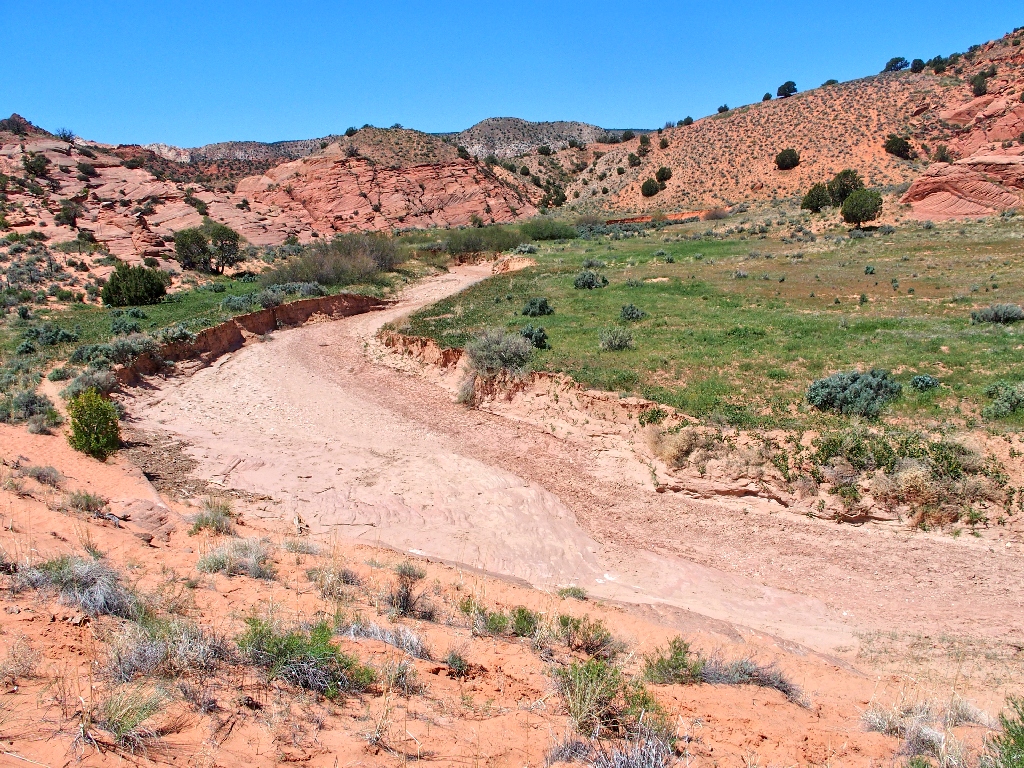
Buckskin Wash
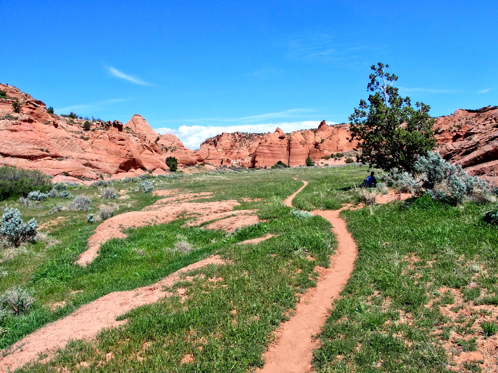
There's a hiker under that tree
Getting closer
None too soon
§: Well, the air temperature was 80+ degrees at the finish, and I did
run short of water again; yet I finished the walk in just 5½ hours despite
having paused to take nearly 200 photographs. I was back at the motel and in
the hot tub by three o'clock, tired but happy.
I don't know what might be added that isn't portrayed by all the photos. Edmaiers Secret might well be the most diverse and interesting landscape on the planet, and there is no question that I will revisit this incomparable place. Starting out in a different direction will provide a largely new experience. Assuming somewhat cooler weather, I'll be happy to remain on the trail until sunset and do a proper job of it.
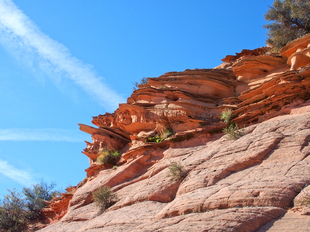
Photographically speaking, the best lighting around here is, as usual, early or
late in the day. On this outing, the morning shadows were more dramatic on the
lattice-work, and the cliff-side redrock shots would not have been as
attractive in full sunlight.
| Scenery |  |
| Difficulty |  |
| Personality |  |
| Adventure |  |
| Flowers |  |

ADDENDUM
It is a good thing that this place remains a relative 'secret' of sorts; because once it becomes better known, quotas will have to be established similar to those over at The Wave. Even then, many of this area's features eventually will be damaged or even destroyed by careless visitors; for this is the most fragile imaginable landscape.

This was the tiny arch that I was so anxious to find (not my photo)
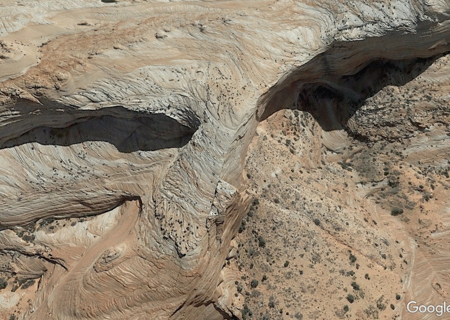
Google Earth view of The Ramp

REPRISE
I returned to this remarkable place in October so as to share it with
photographer friend Gary. Although we covered only the northern half
of the area, some new photo-ops presented themselves.
After the fact, I discovered a noteworthy phenomenon. The left-hand
photograph below is a cropped version of the one labeled earlier as "Utterly fragile,
and utterly beautiful"; the right-hand image is the same subject, shot six
months later.
Note the little piece of broken brush lying on the lattice-work, still there
after all this time! It seems to have dropped about half an inch, yet has
not otherwise been disturbed. Amazing. The passage of time is
adequately documented by the little plant at the top of the photos —
green in April, and withered in October.
April 27
October 23
Finally, here are some spliced clippings from Gary's drone:
