John Muir Wilderness
|
Bishop Lake John Muir Wilderness |
September 3, 2019
Eight years ago, I first met today's hiking companions, Gary and Sharon, on this very trail (Hike #126). At that time there still was quite a bit of snow on the route, and several creek crossings were problematical. This year's trek has been delayed by an unusual snow pack, but the hiking conditions should be better now.

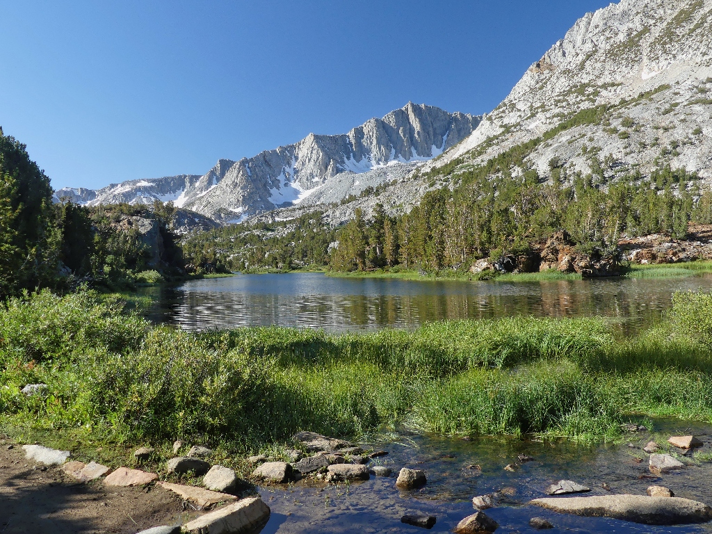
South Lake at 8 a.m.
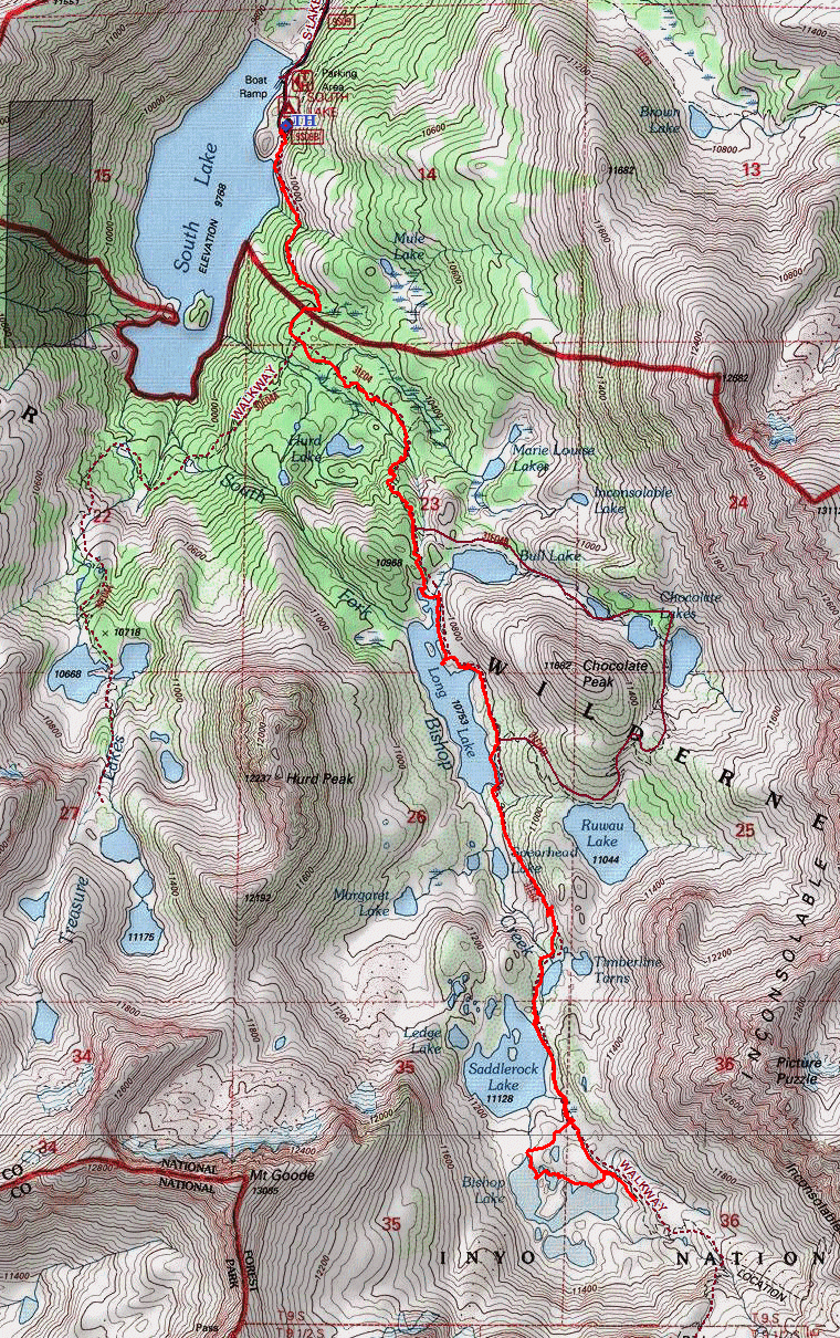
The first couple of miles are an uphill slog through the forest. Most of the good stuff is up higher.
Recently, Gary fell off of an improperly cinched rental horse; so we don't know how far he will go. He always is game for the attempt, however.
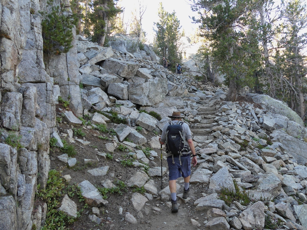
Into the garden
We seem to be off to a good start, for Gary claims to have reached this point some seven minutes faster than his previous best time. This is good.
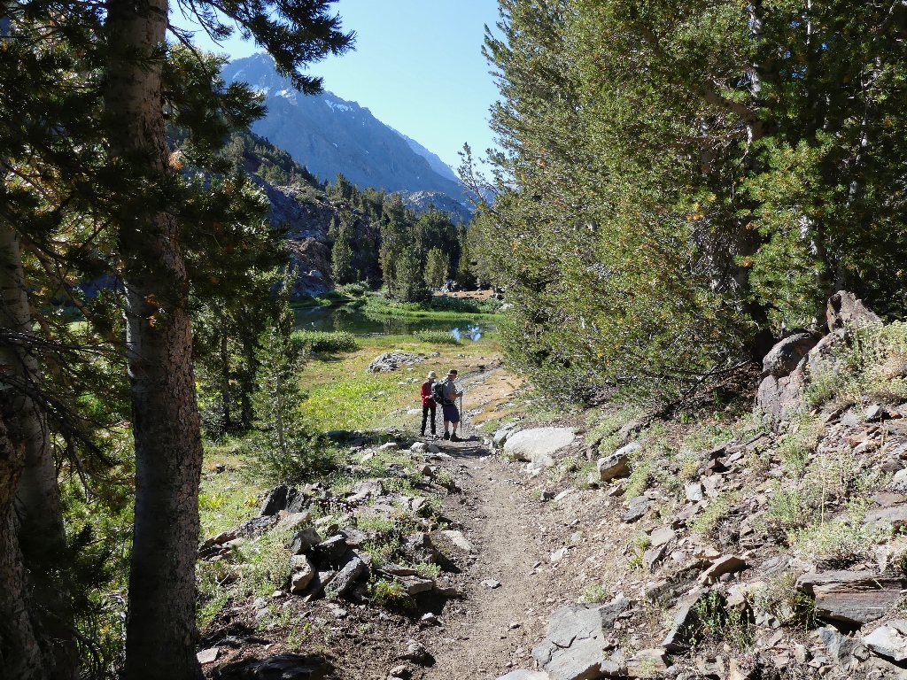
Best reflection of the day
The little portion of Long Lake
I also am toting a new camera — a Panasonic FZ-300. It's much bigger
and heavier than my trusty Olympus; but it supports easy use of filters and a sunshade,
and has twice the zoom range. Also, this unit is advertised as
weather-resistant — meaning that it can withstand a few drops of rain but
doesn't want to be dropped in a creek, as I have done with so many other cameras.
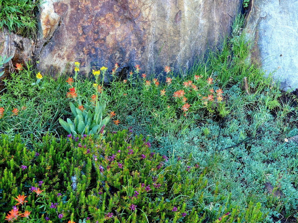
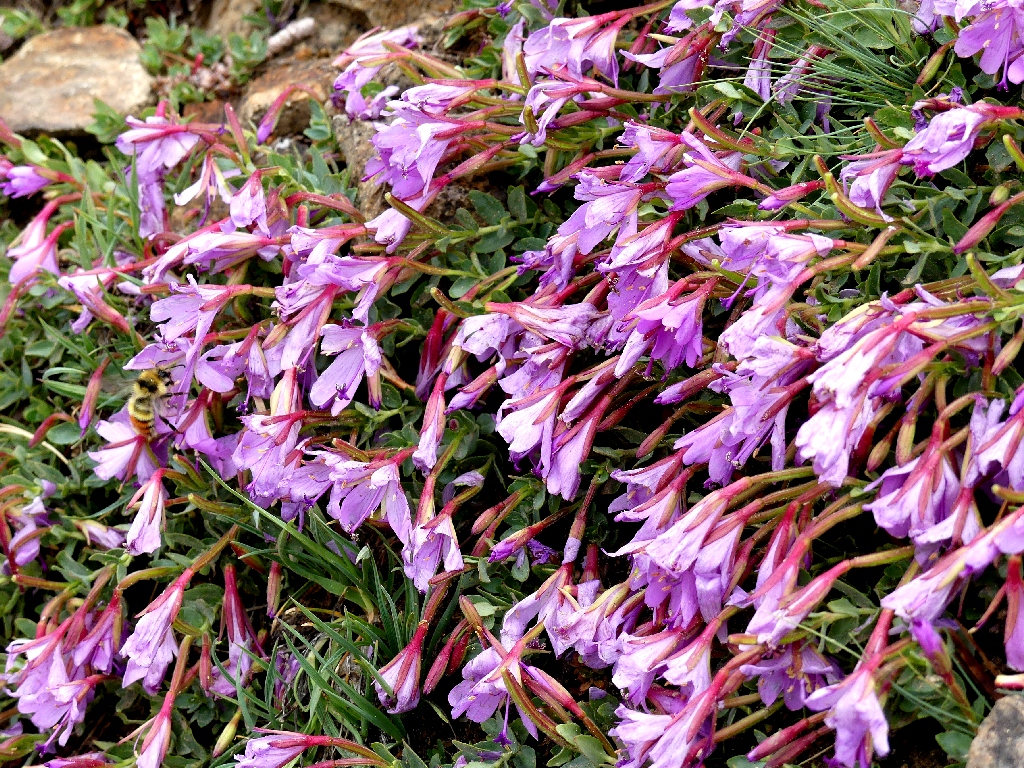
A colorful assortment
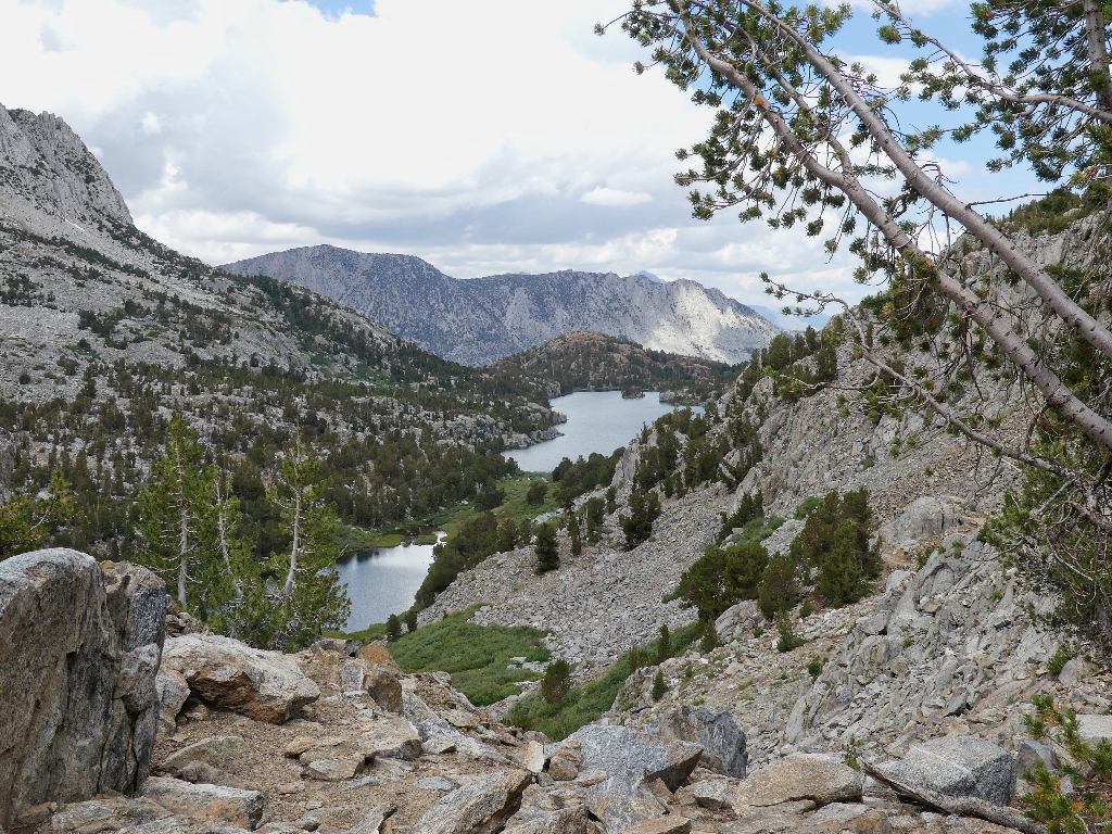
The big end of Long Lake
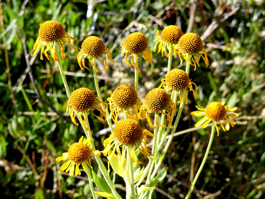
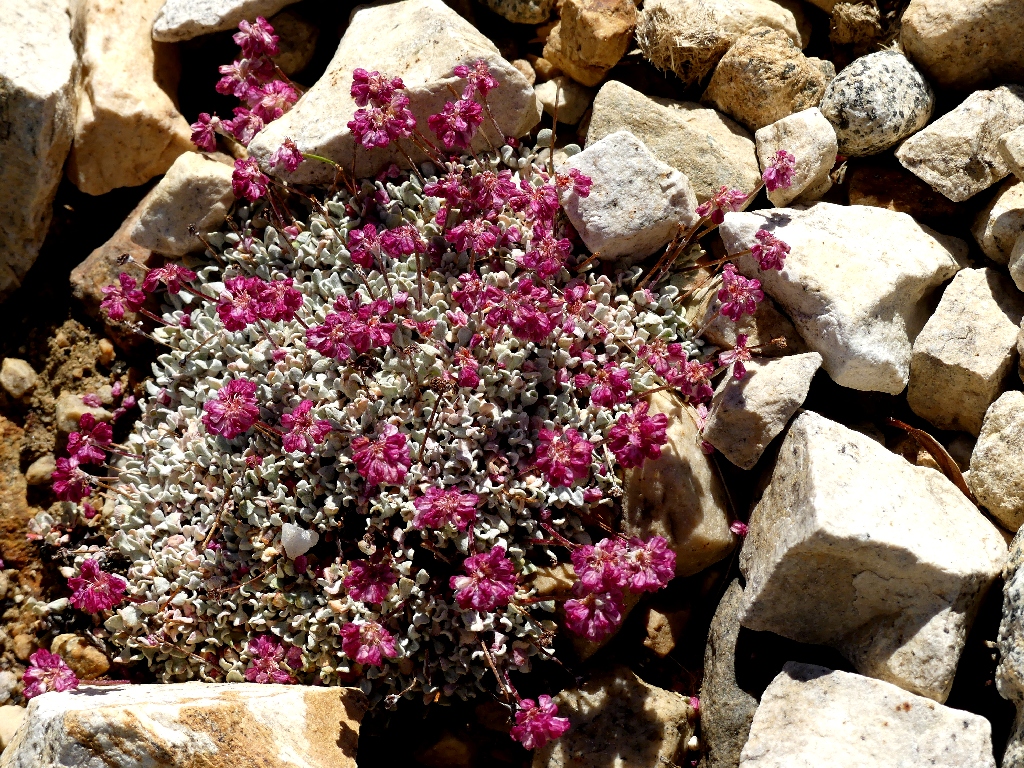
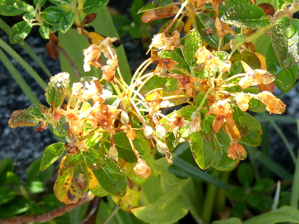
Cooper's Rubberweed
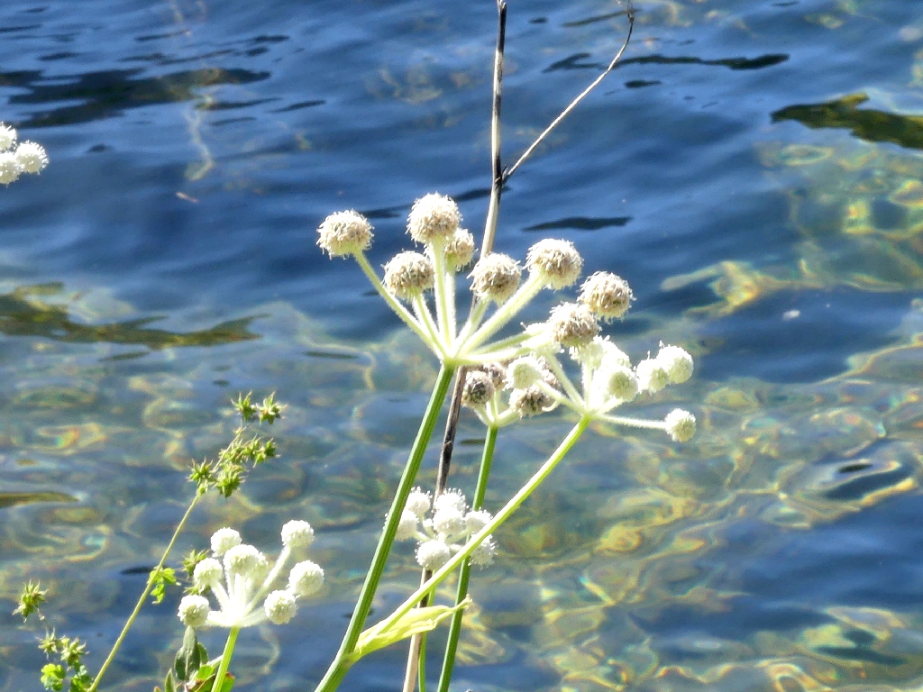
Ranger's Buttons

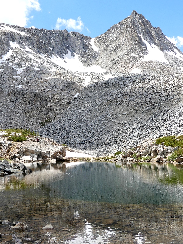
The big mountain is looking good, as always

Mount Goode, 13085'
Silverleaf Scorpionweed
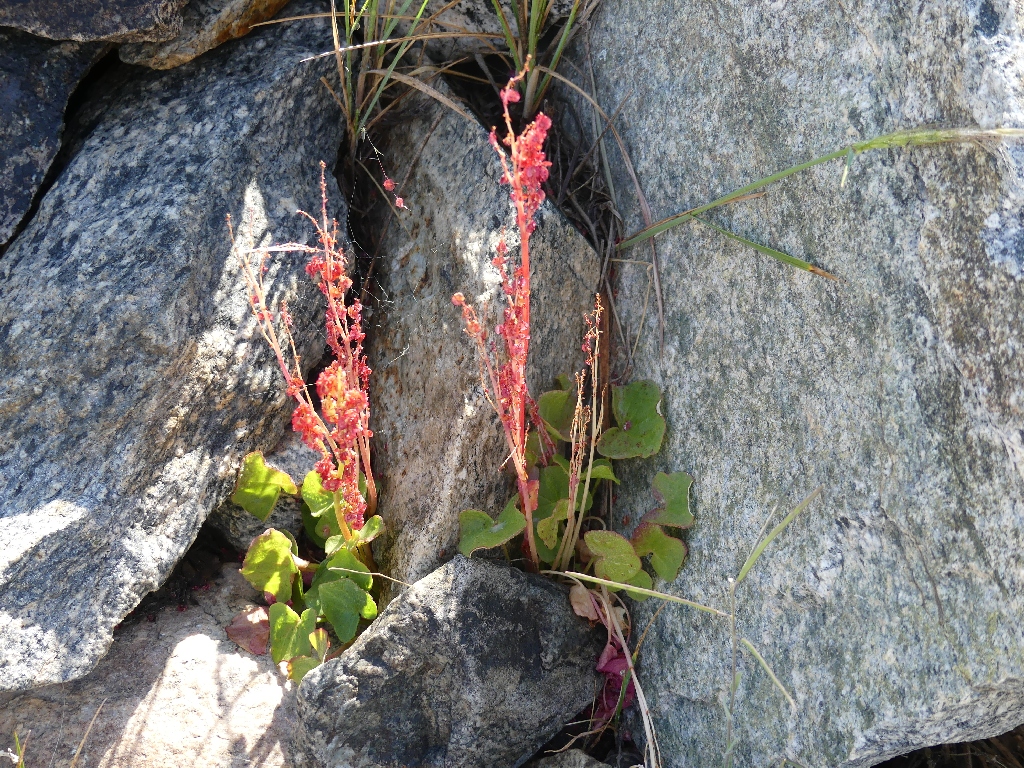
Mountain Sorrel
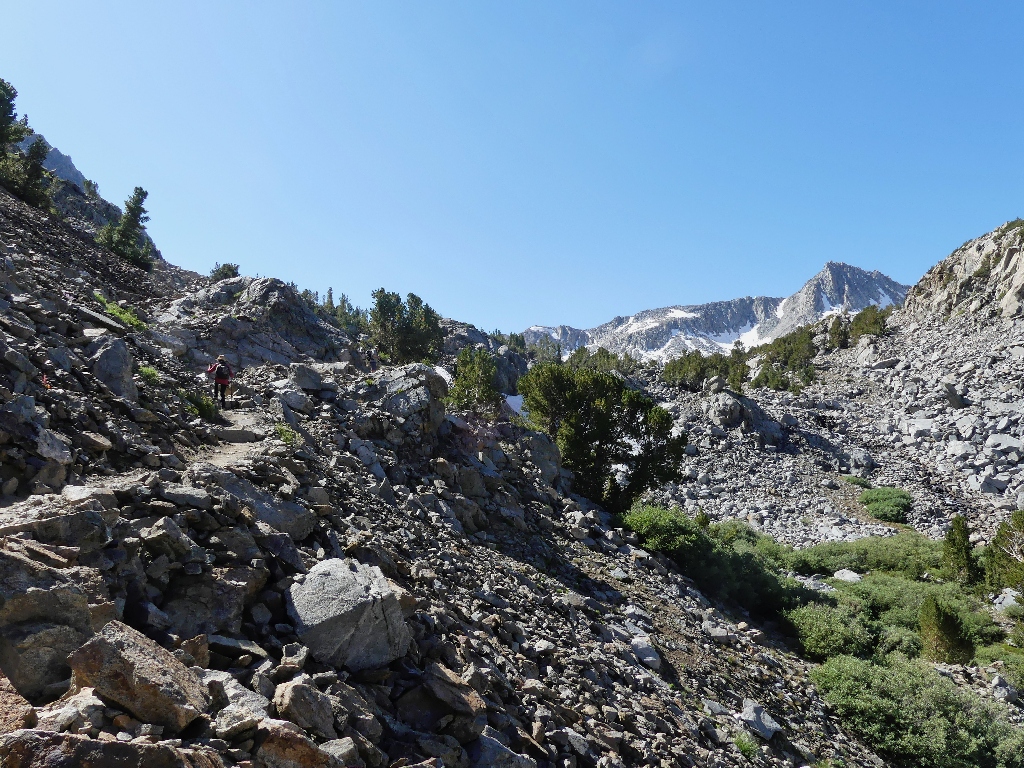
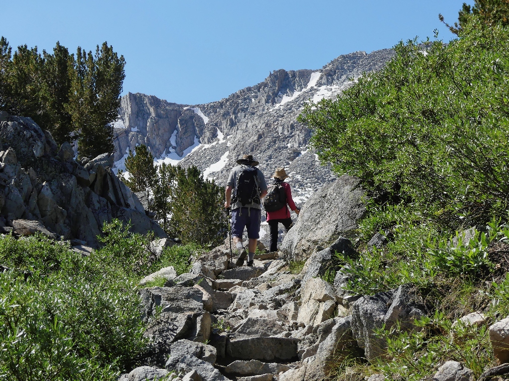
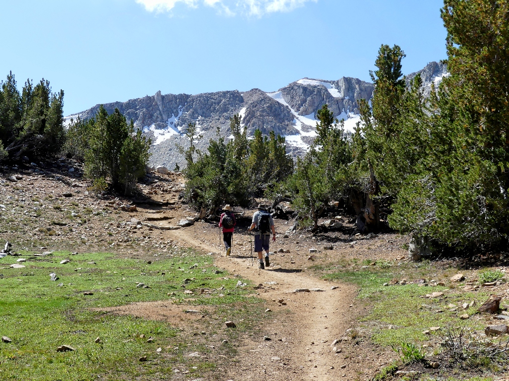
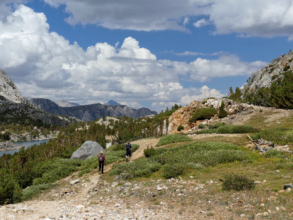
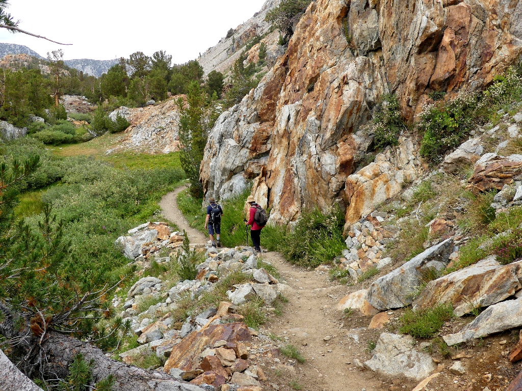
Traipsing ever upward

This was a 6-foot snowdrift on my prior trip through here
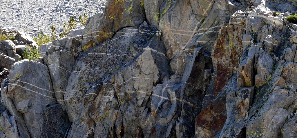
Dikes galore
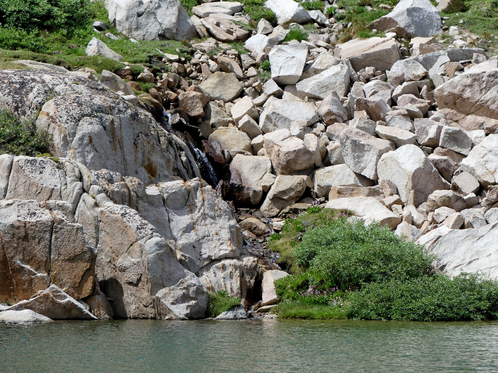
The trail winds up beside a nice cascade. This is a good place for a break.
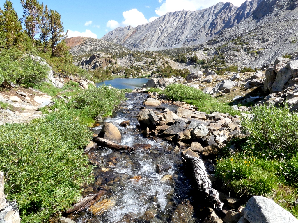
Flowing between the Timberline Tarns
Heading off to meditate

Looking the other way
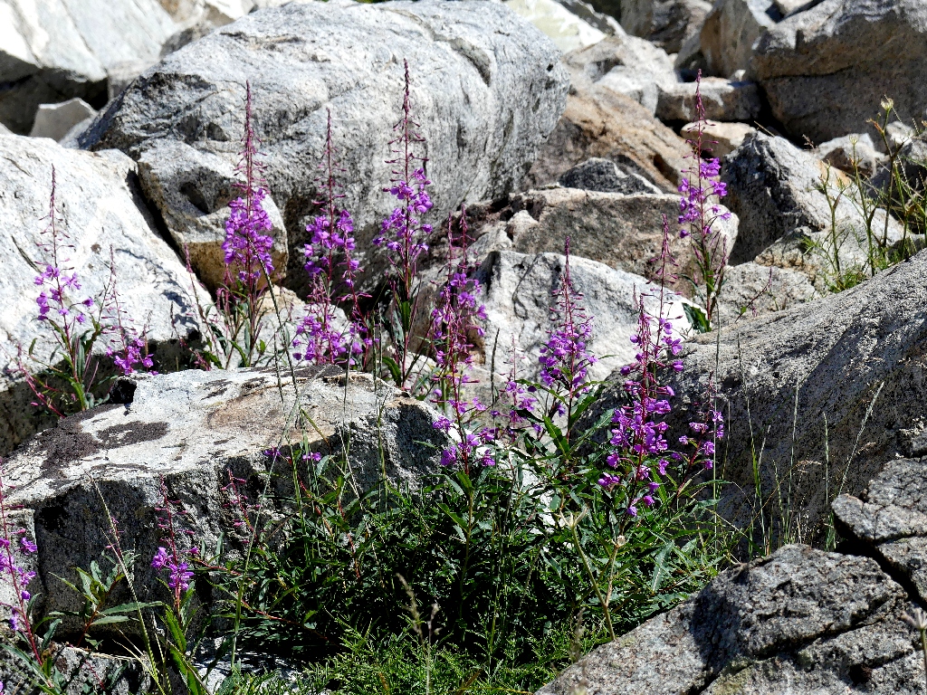
Fireweed
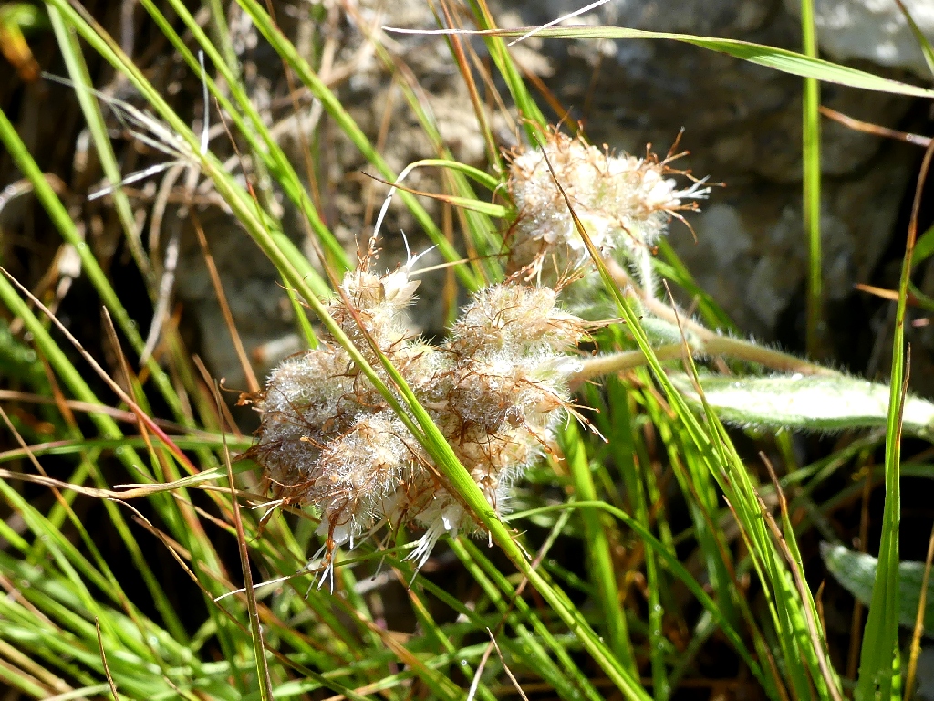
Butterballs
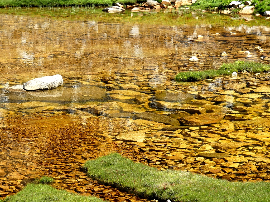
Nifty rocks in a brown-colored tarn
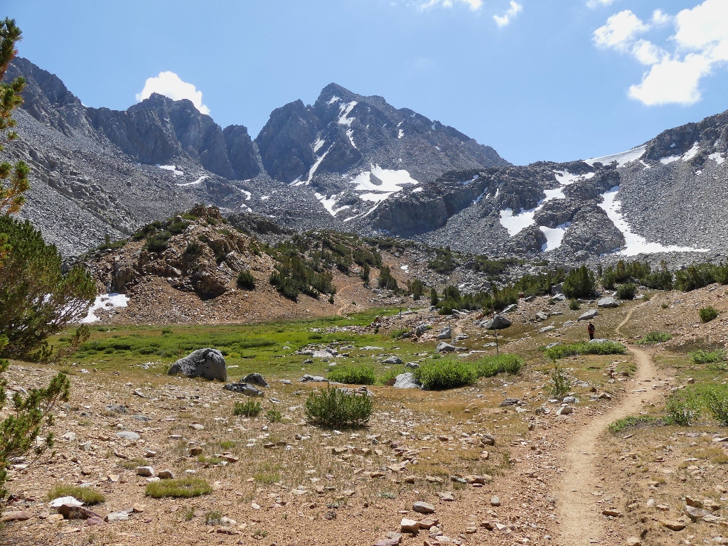
Trail junction ahead
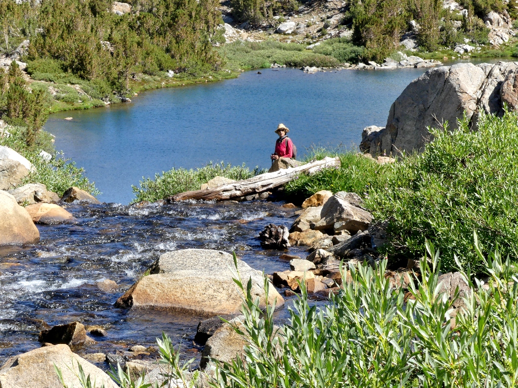
At this point, my companions opt to head over to the nearby lake, leaving me to
continue as far as I care to go. The original plan was to head up toward Bishop
Pass for a few photographs, because I have seen some jaw-dropping shots of Bishop
Lake taken from high above it.
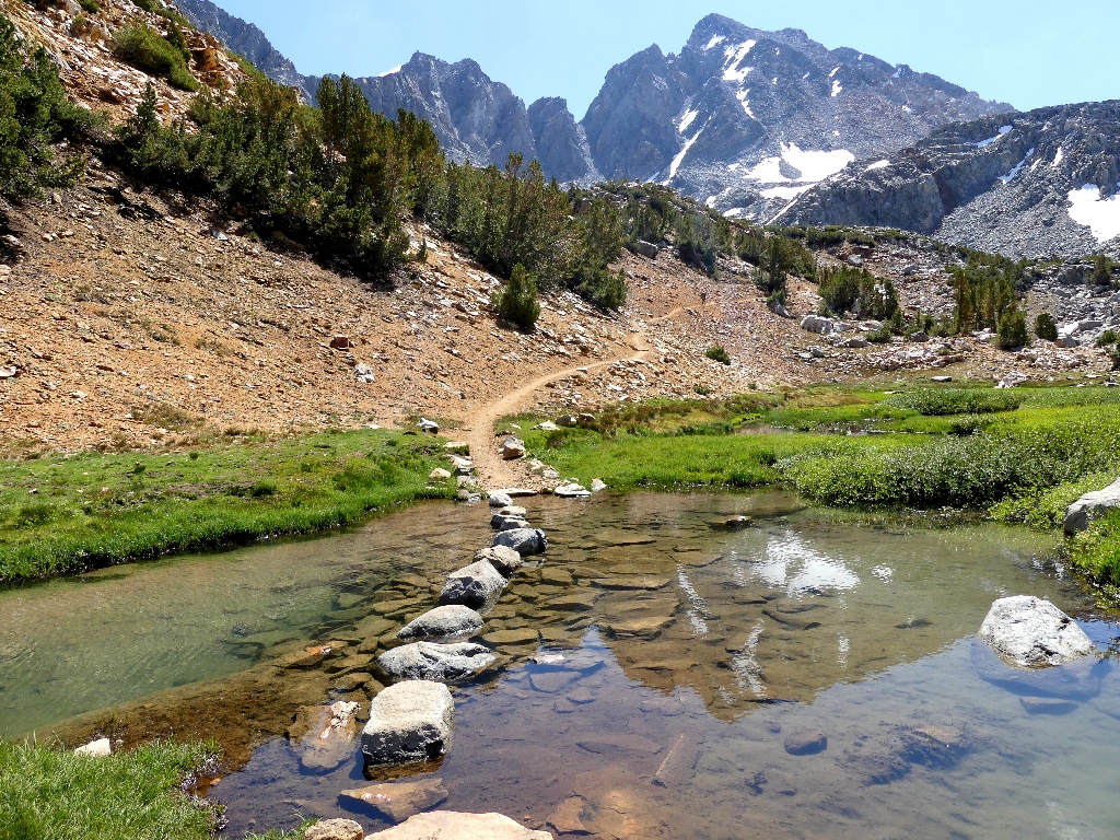
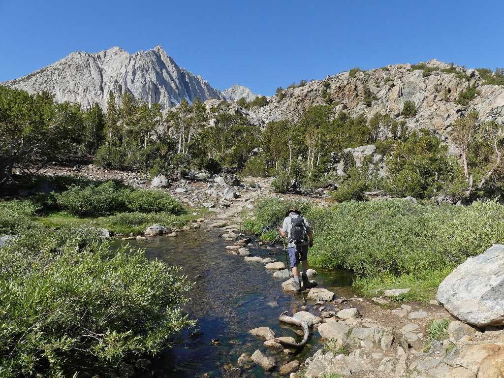
What a delightful crossing!
This area also was largely blocked by snow last time
I continue up the path for about another hundred vertical feet before looking back. A little pack train has arrived at the crossing; that is reason enough for everyone to pause and watch it pass by.
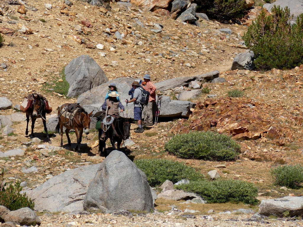
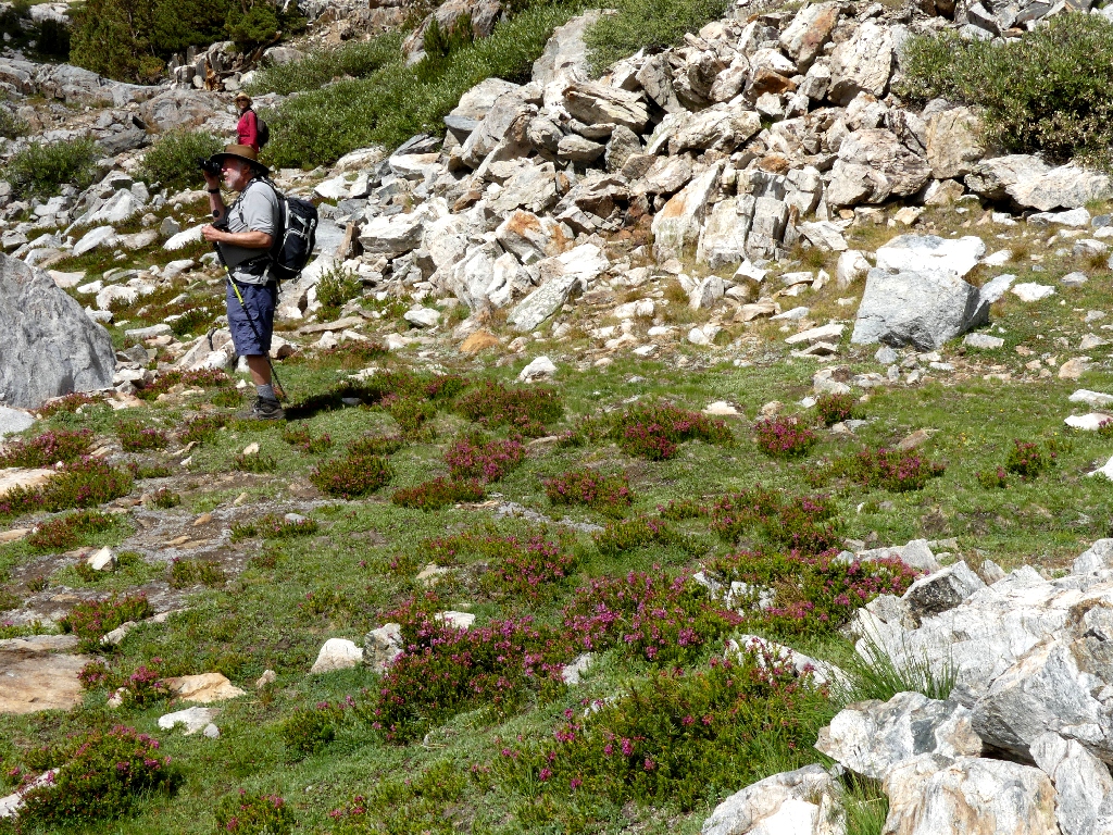
Gary chats with other hikers, as usual

Easy does it
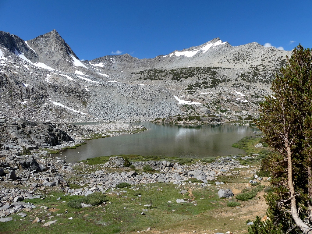
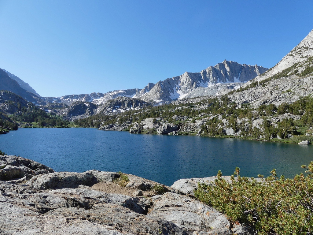
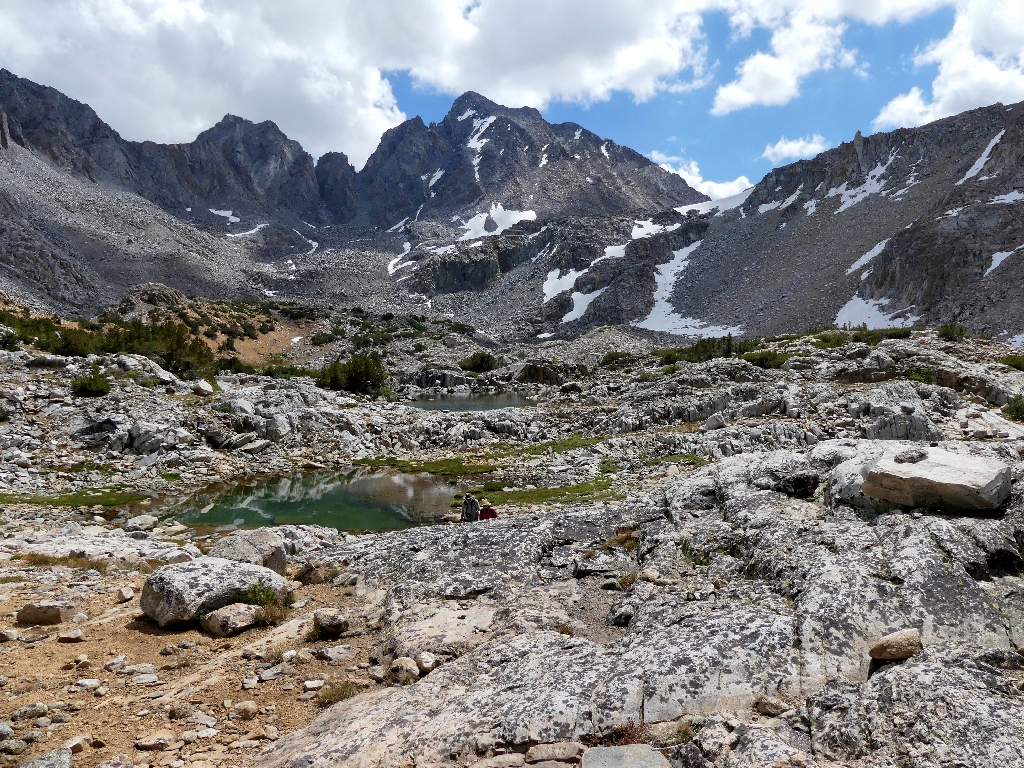
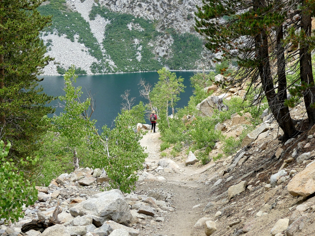
Bishop Lake below
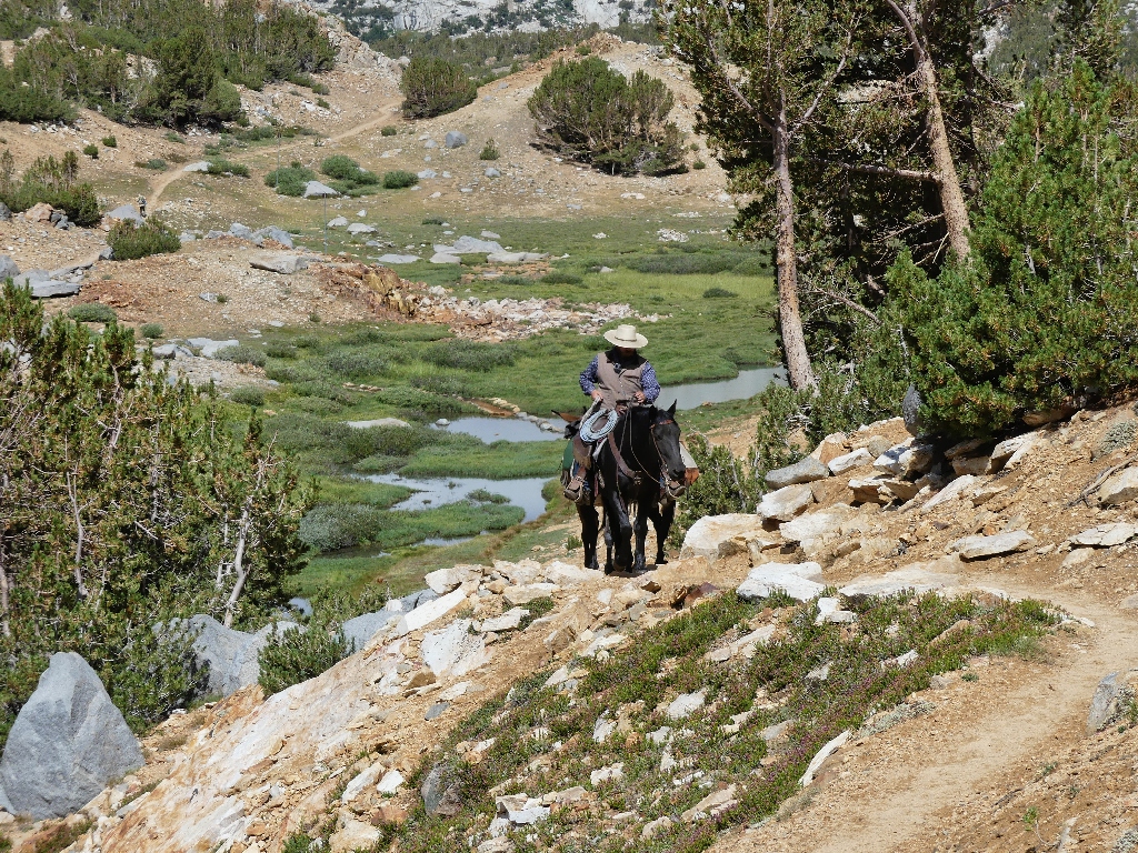
Here they come
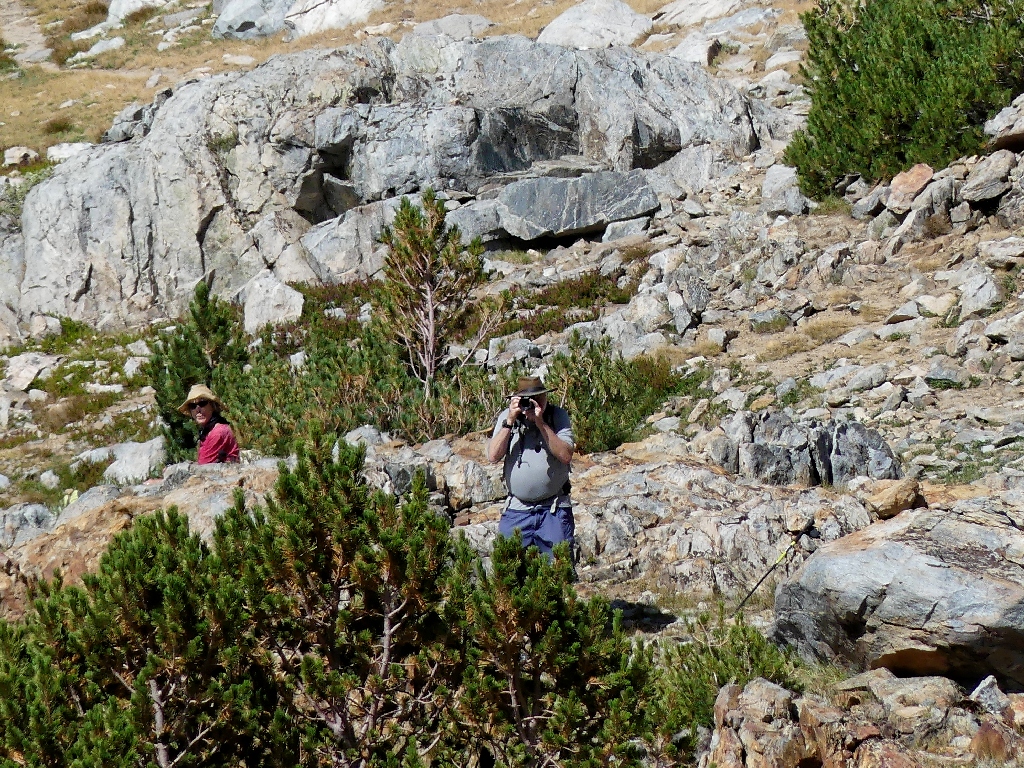
We are shooting each other
From here, the trail now winds around a corner and out of sight of the lake.
It appears that in order to photograph it from above, I might have to climb all the way
up to the top of the cliff — another 500 feet.
In deference to the impending inclement weather, as well as my companions' patience, I decide not to go up any farther; besides, there is a pretty good view from right here:

This is why I go hiking
From the creek crossing, it is easy enough to locate the others at the lake shore.
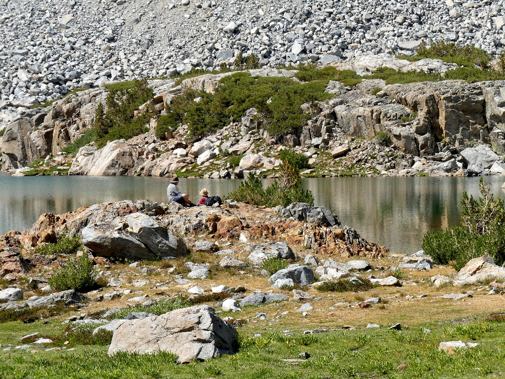
There they are
After the obligatory nourishment interval, it is time to 'wander'.
The heather still are red, even in September
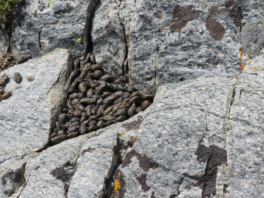
Someone else has been here
Because of its convoluted shape, Bishop Lake is fun to explore.

Beautiful
Sharon checks out a dead-end

Taking the hard way back
Across the lake
Bishop Pass will have to wait for another day
Starting back, toward Saddlerock Lake

The rocks come in many colors

A ski hut and the Inconsolable Range
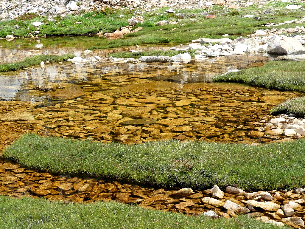
Revisiting the brown tarn

Ledge Stonecrop
Rock Fringe
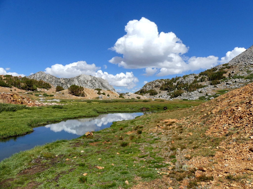
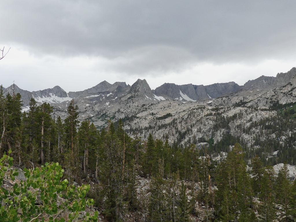
The clouds are building
Yes, it does look as if we might run into a little weather; for we have another four miles to go.
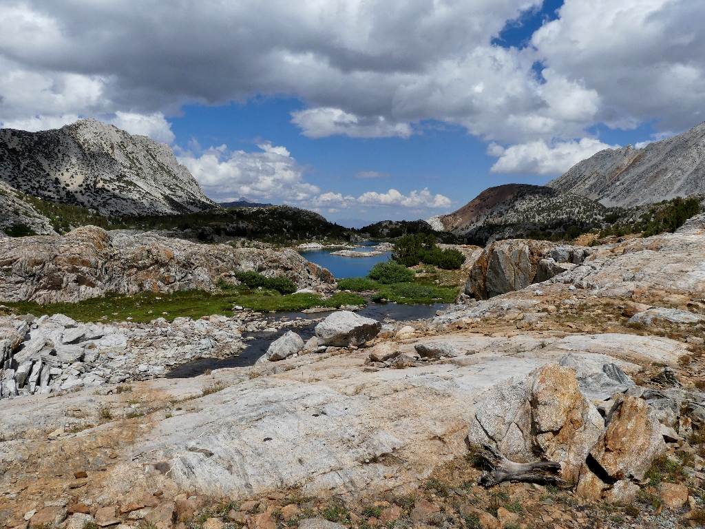
Spearhead Lake and Long Lake are waiting
Labrador Tea
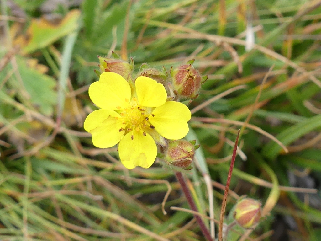
Slender Cinquefoil
A favorite section of this trail
At the end of the hanging garden, it's back into the forest.

Down the switchbacks
During this long slog, Sharon remarks, "Every hike seems to be about an hour too long". This one has run nearly six hours already, but we are nearing the end.
South Lake reappears, looking much better than last time when it was only half full
Smelling the barn, Sharon forges ahead for good. A couple of raindrops hit me, but I'm not about to put on my rain jacket at this late date if I can avoid it.
The skies are getting darker
More raindrops. No more stopping for photos.

The last part of the route is uphill
Sharon beats me to the car by about a minute. As soon as I arrive, it begins to rain harder. Two minutes later, Gary shows up, and we scamper down the five miles to the homestead with the windshield wipers on the whole time.
It's nice and dry back in the cabin
§: Despite the relative lateness of the season, the South Fork of Bishop
Creek reaffirmed my opinion that it is the best day-hike in the eastern
Sierra. Although the trail is rather rough in places, it climbs only 1,400 feet
over nearly five miles, for an average gain of just 5 percent; and there are lots
of possibilities for off-trail exploration as well.
Also, my new camera produced mostly fine results, except that a number of attempted
close-ups of flowers were out of focus. I'll have to work on that.
| Scenery |  |
| Difficulty |  |
| Personality | |
| Flowers |  |