
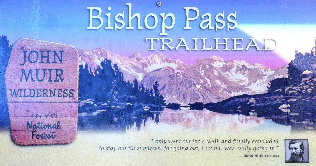
John Muir Wilderness
|
Bishop Lake John Muir Wilderness |
July 25, 2011
This hike has been near the top of my bucket list for quite a while. It is time to see whether the Bishop Creek area lives up to expectations.
At the trailhead, two backpackers have donned mosquito netting from head to waist. I certainly hope that conditions won't be all that bad here today.
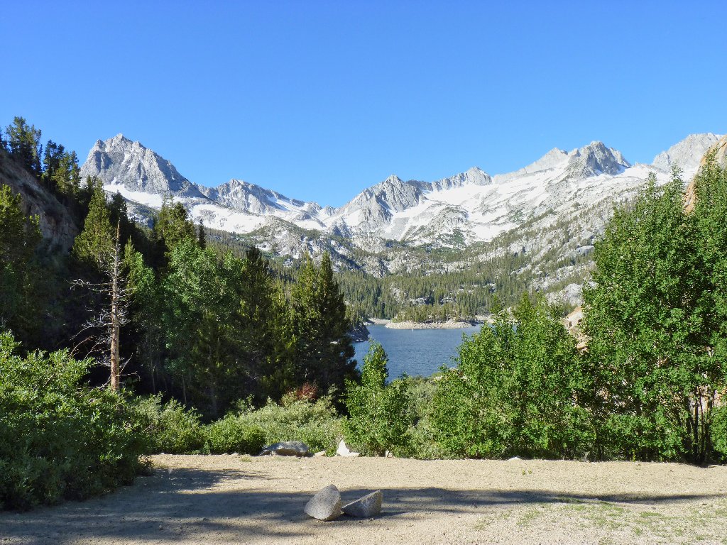
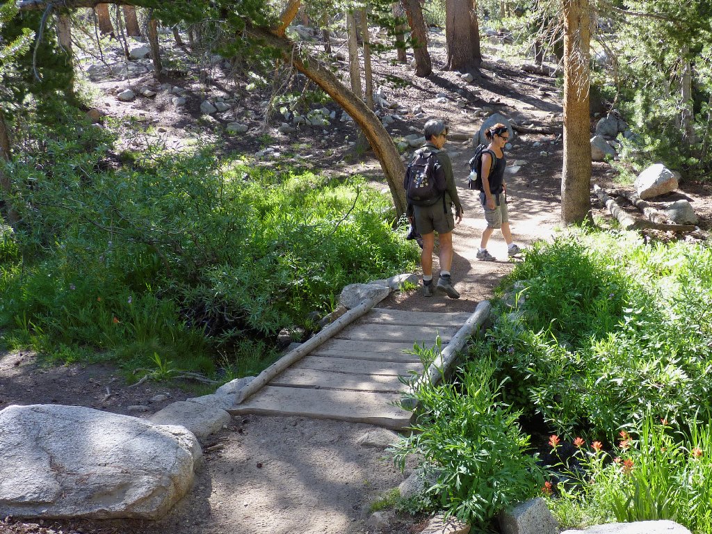
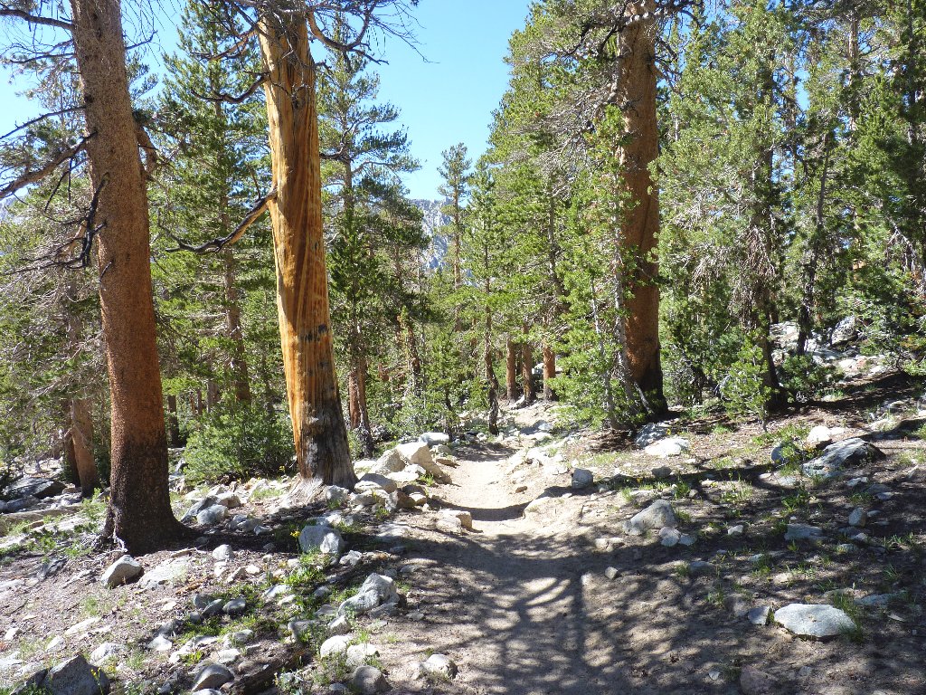
Starting at South Lake
Before walking for even a minute, I am compelled to whip out the camera and start shooting flowers. The mosquitoes swarm me; but I move on, guessing that the bug problem is localized.
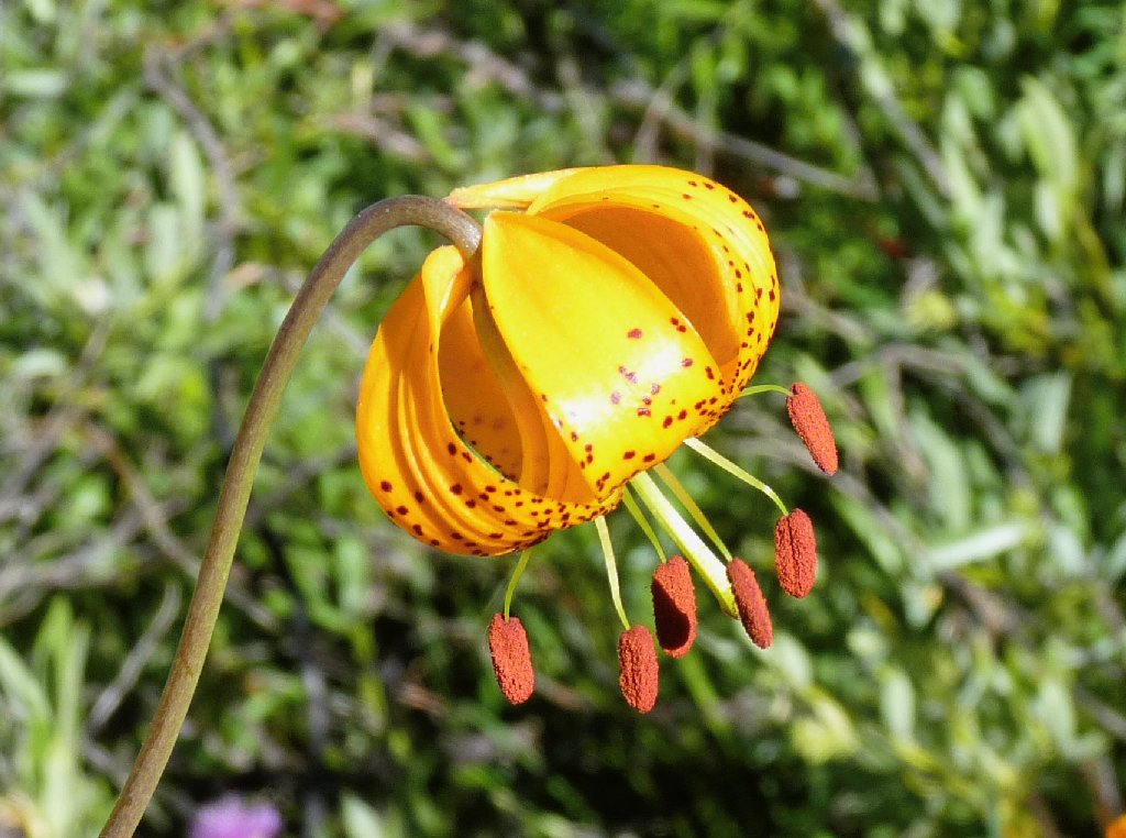
Kelley's Lily
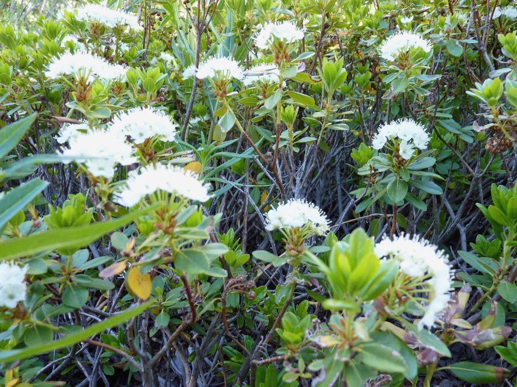
Labrador Tea
At a trail junction I turn left. A woman hiker just ahead of me instructs her companion also to "Turn left; we'll do Treasure Lakes next year". Being right behind her, I comment that a visit to Treasure Lakes is "Next year for me, too". Little did I know that this person would figure prominently in the latter part of my day.
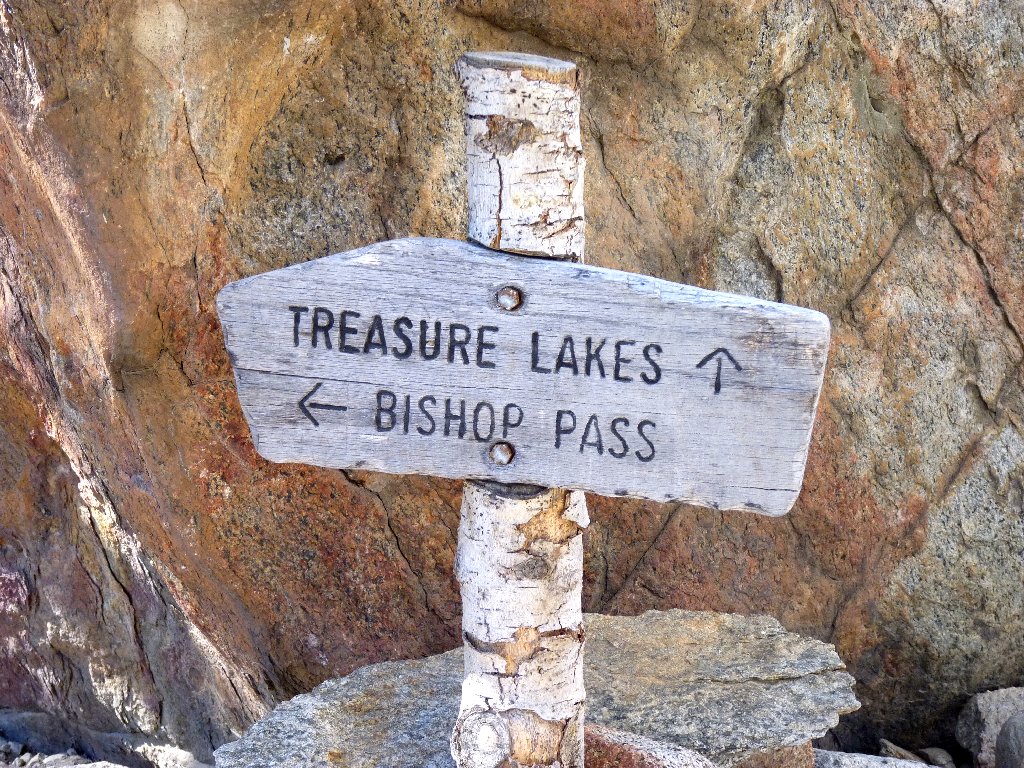
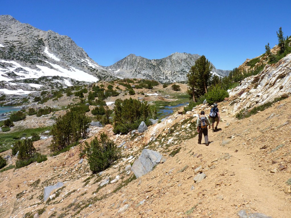
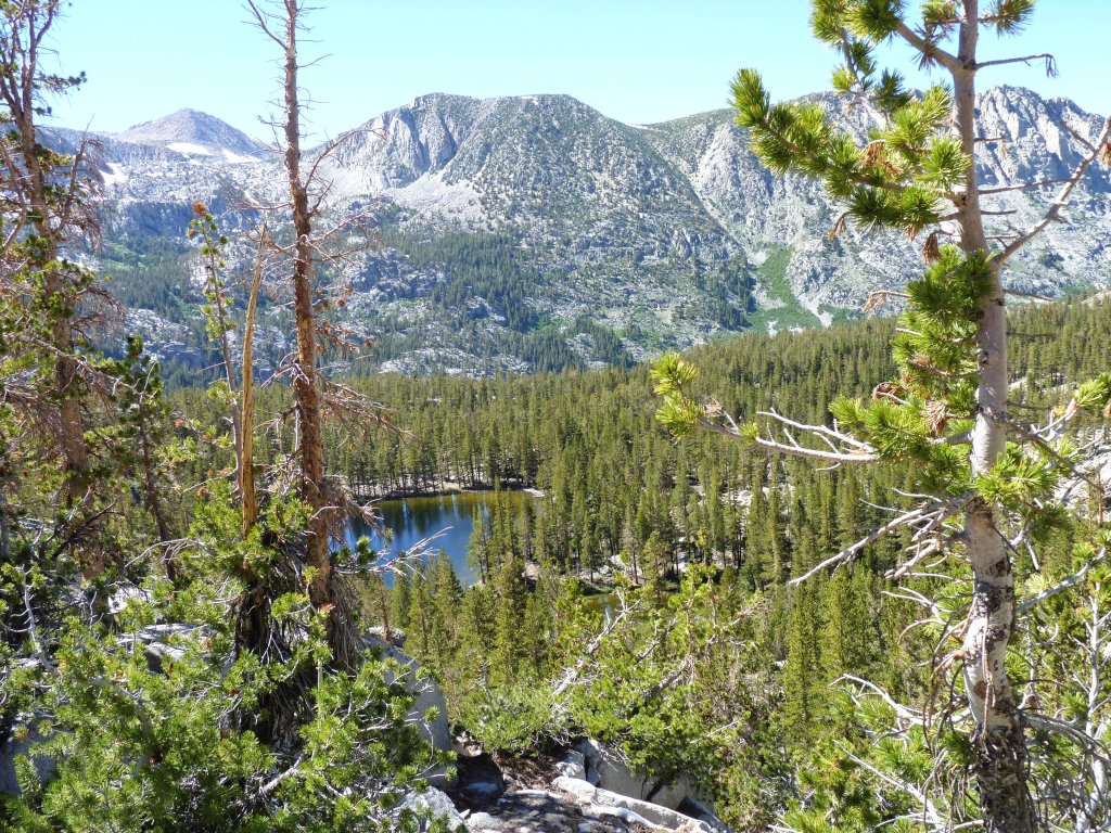
We all opt for Bishop Pass
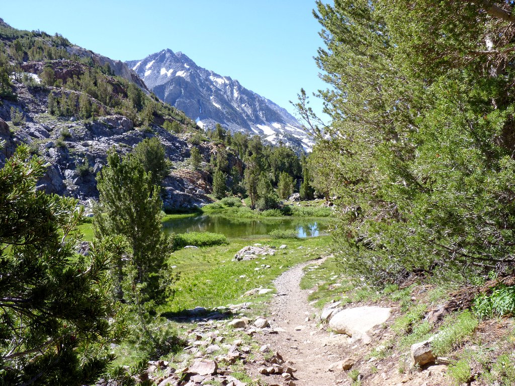
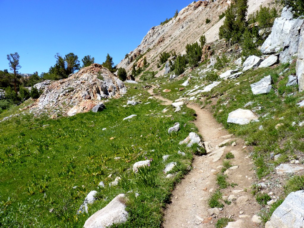
After negotiating a number of switchbacks through an unexciting dark forest, the top of the hill is reached. On the other side is a whole new world of lakes, grasses, and high mountains.
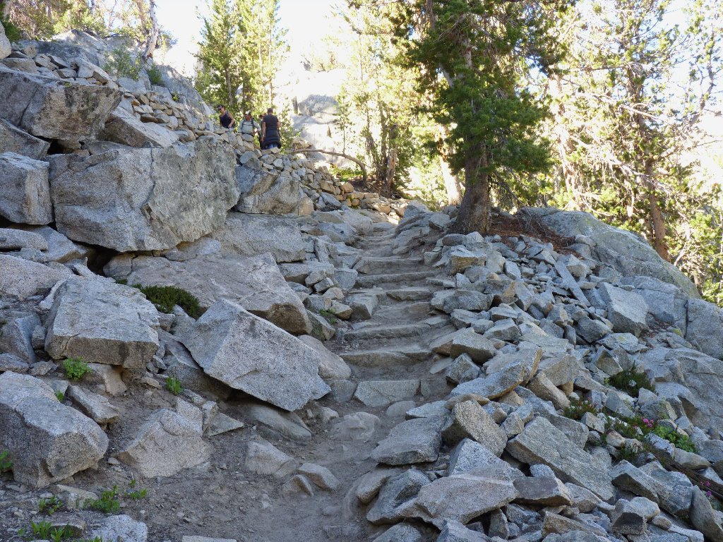
Steep going
Into the valley of the Garden of Eden
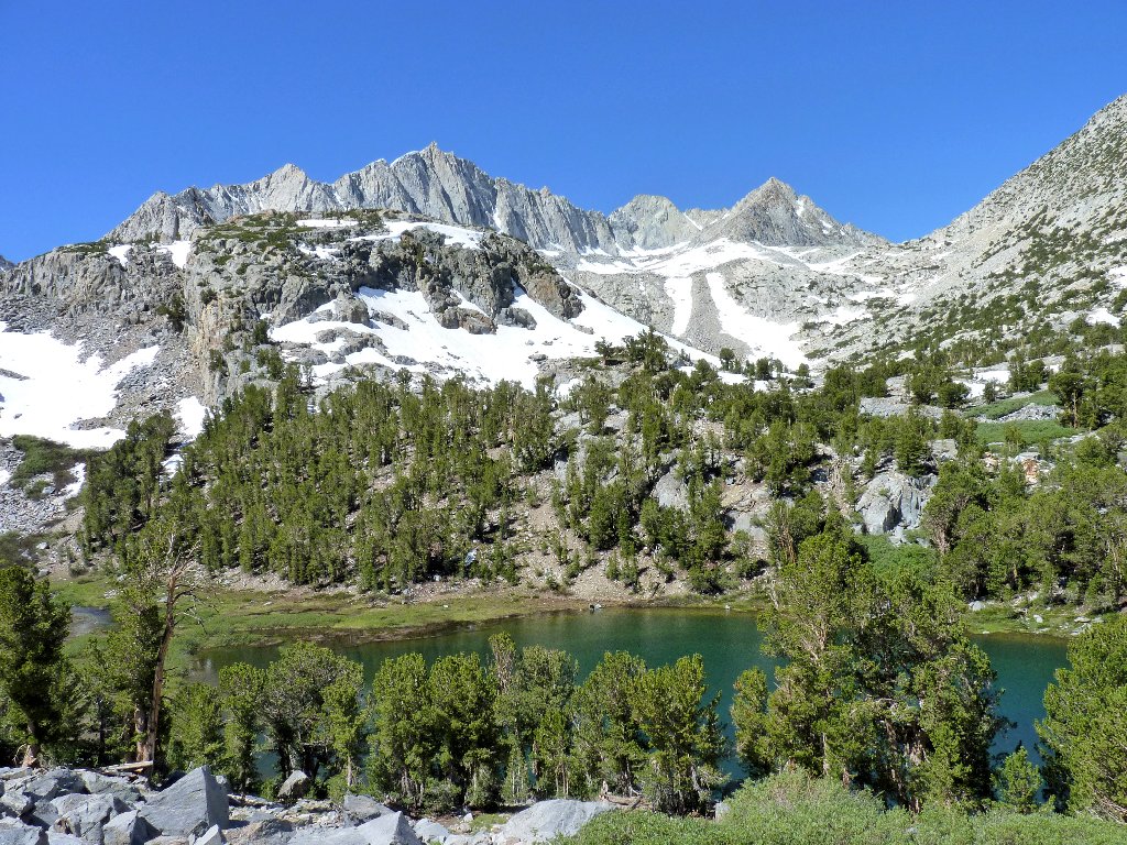
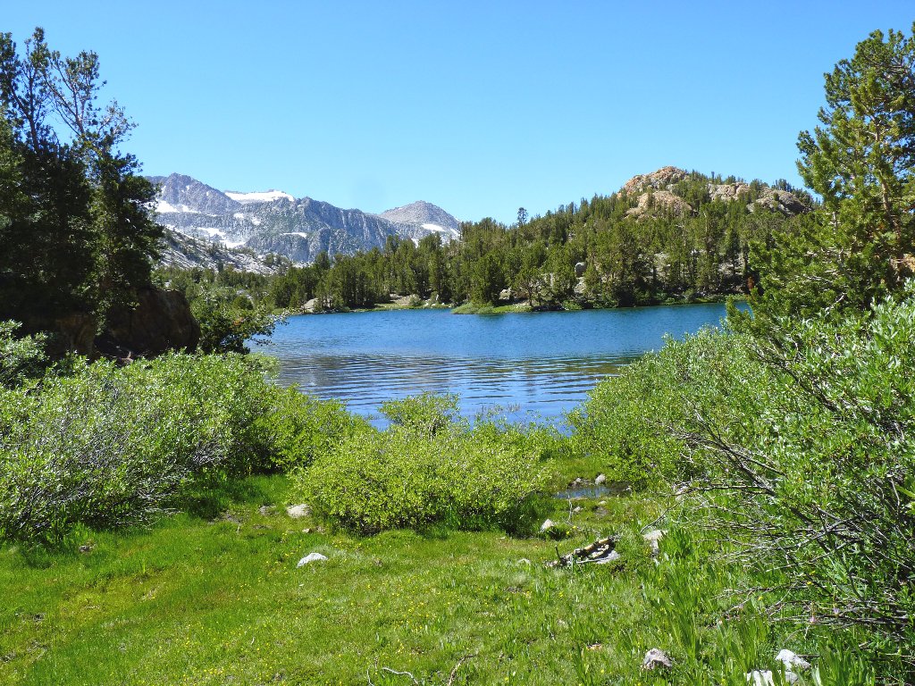
Long Lake and Hurd Peak, 12237'

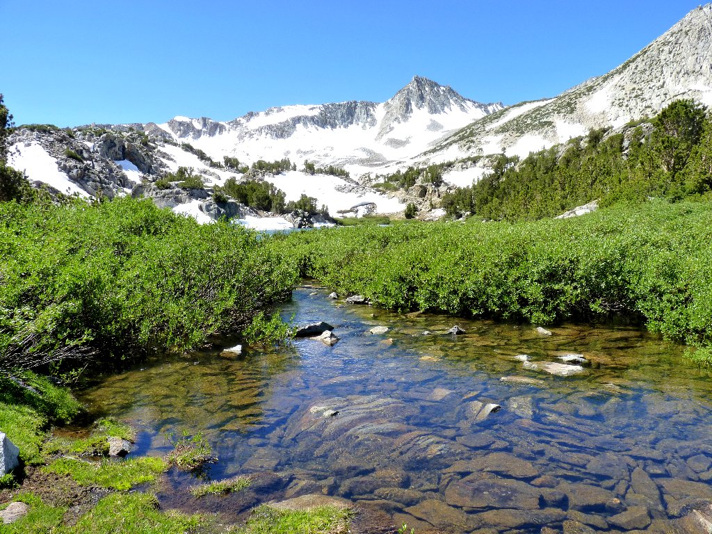
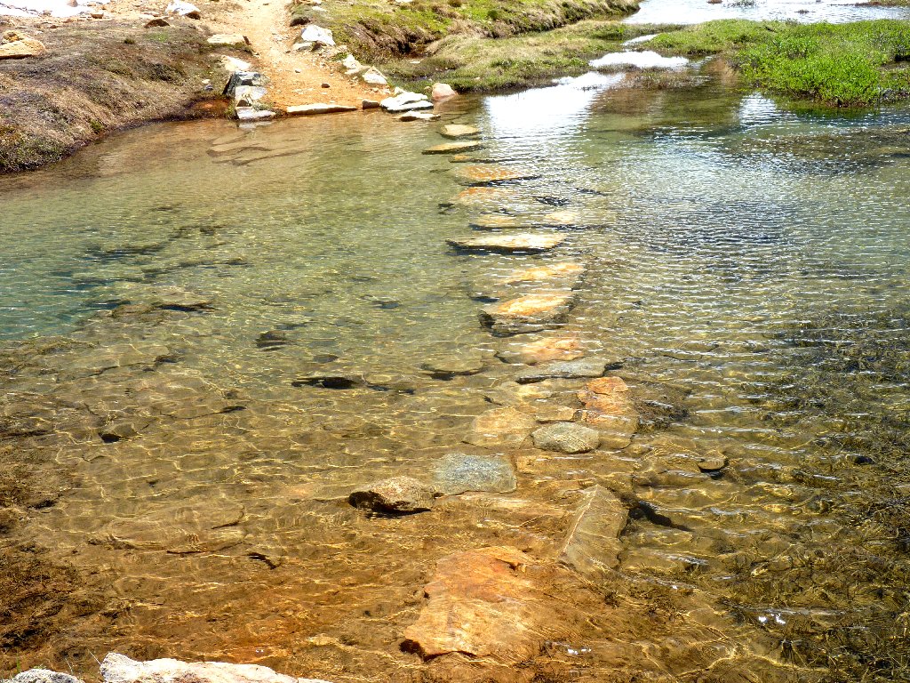
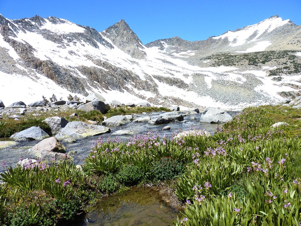
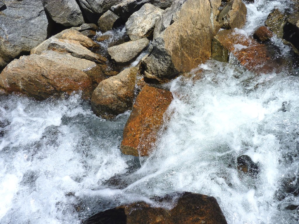
A nifty stream crossing
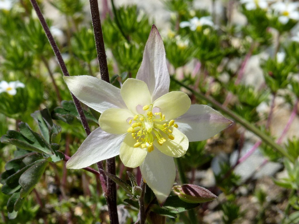
The trail runs southward alongside the eastern shore of Long Lake, at the base of a colorful talus slope. Amid the rocks are some wonderful columbines, which I have seen in just one other location. Over in Little Lakes Valley, the trail also runs southward alongside the eastern shore of Long Lake, at the base of a colorful talus slope, and features these same flowers. Déjà vu.
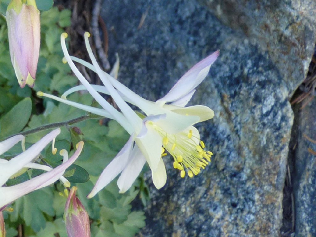
Coville's Columbine
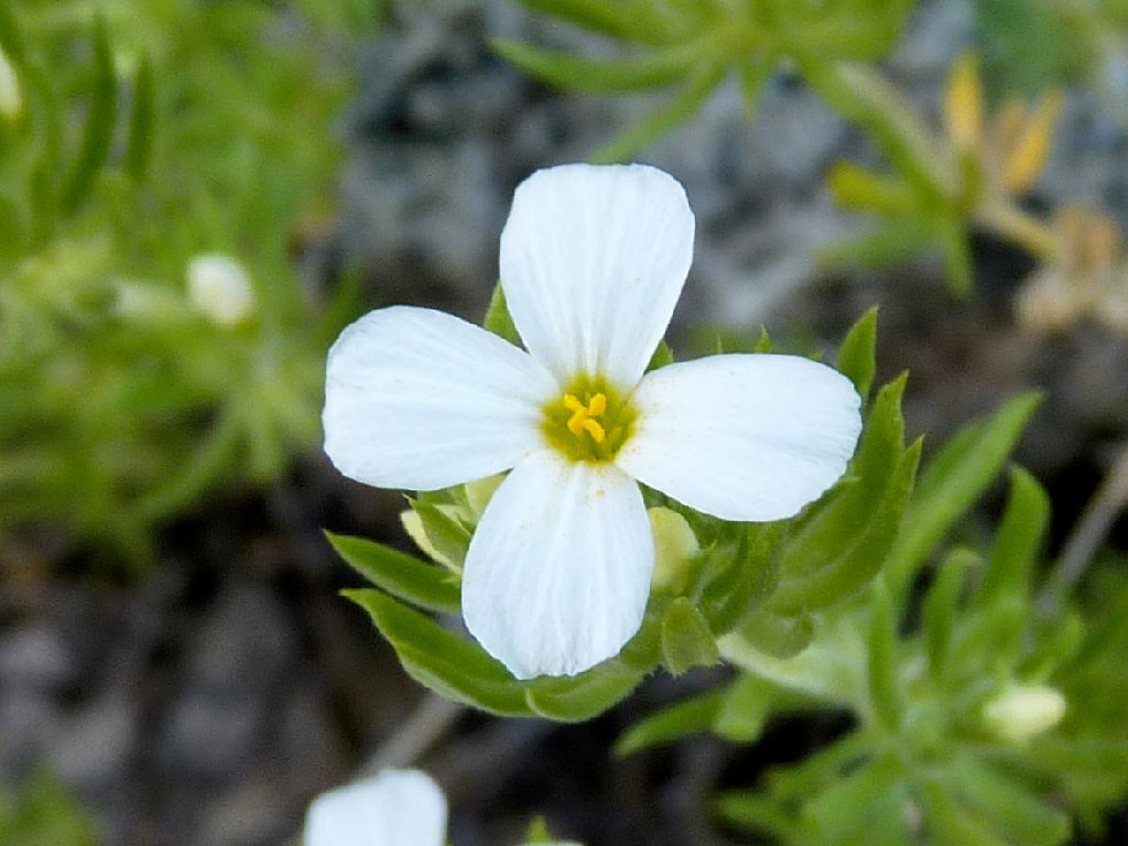
Condensed Phlox

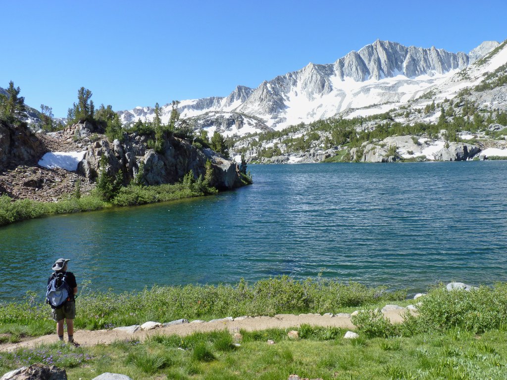
Long Lake
As I detour from the trail for a photo, a hiker passes below me. Looking up, he exclaims, "Let me know when you find some scenery!" It so happens that the man is a fellow photographer named Gary, who even has won ribbons in local contests.
I think he finally found some scenery
As Gary and I walk together, it is agreed that the next patch of shooting stars is the best we ever have seen. As we stop to photograph them, the two women from the trail junction approach us. Gary introduces his wife Sharon and friend Sue. Then he asks whether they could include me at dinner tonight, whereupon Sharon exclaims, "You always are doing that"; but I guess it's a done deal.
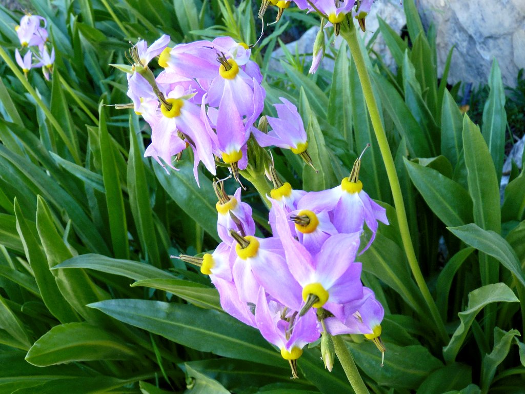
Sierra Shooting Stars

Talus residents
Deeming us photographers to be too slow, the women take off, not to be seen again on the trail.
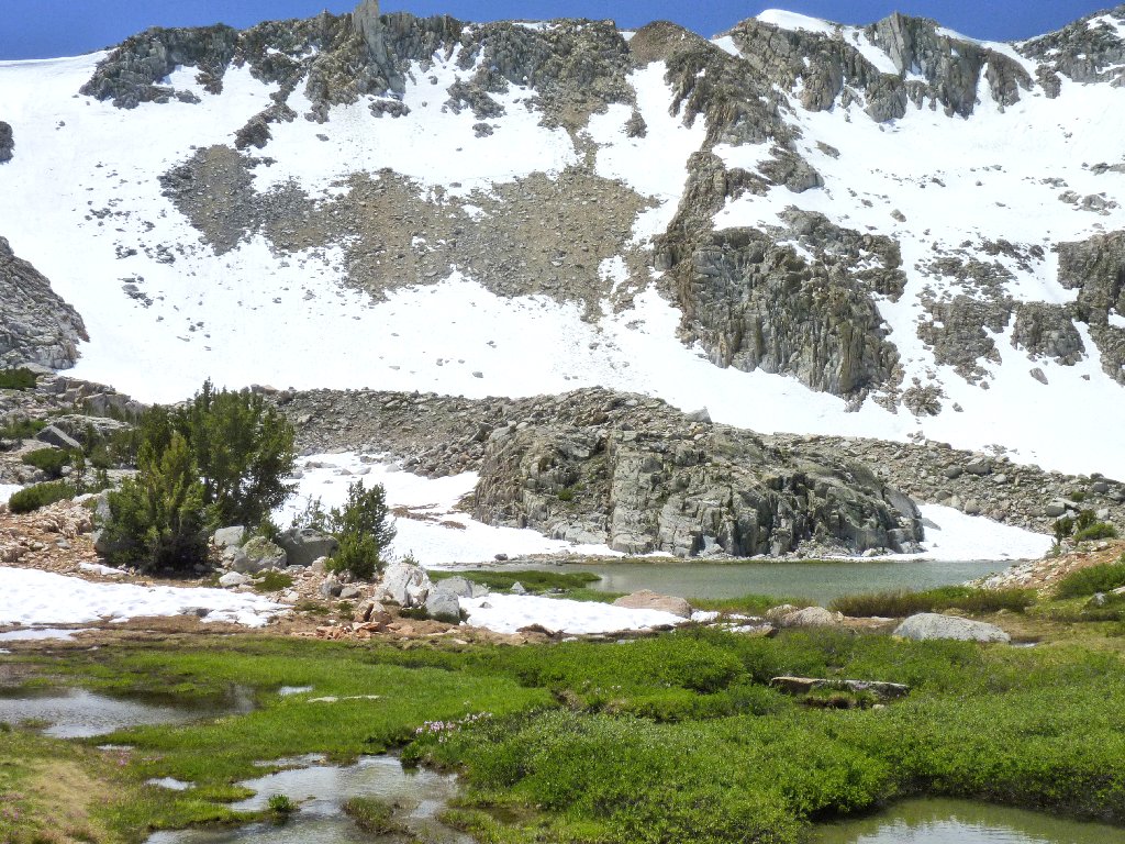
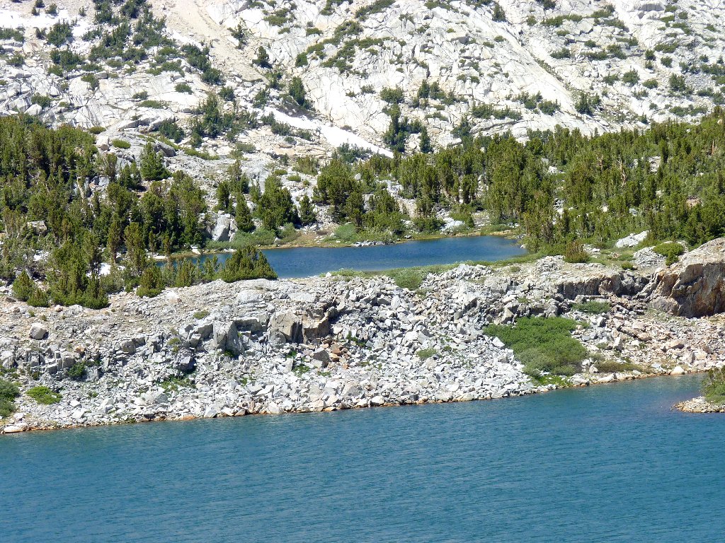
Spearhead Lake
This is exciting
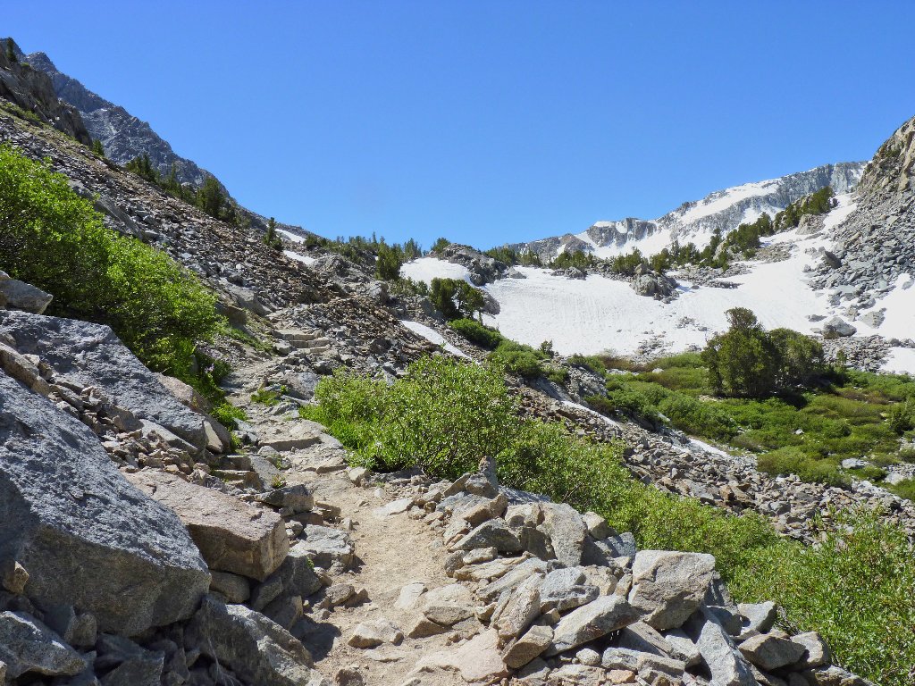
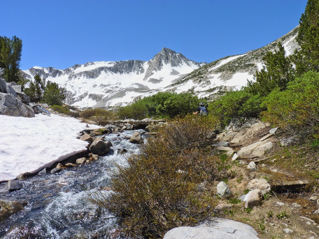
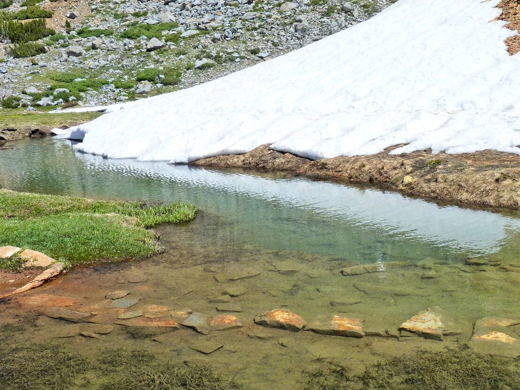
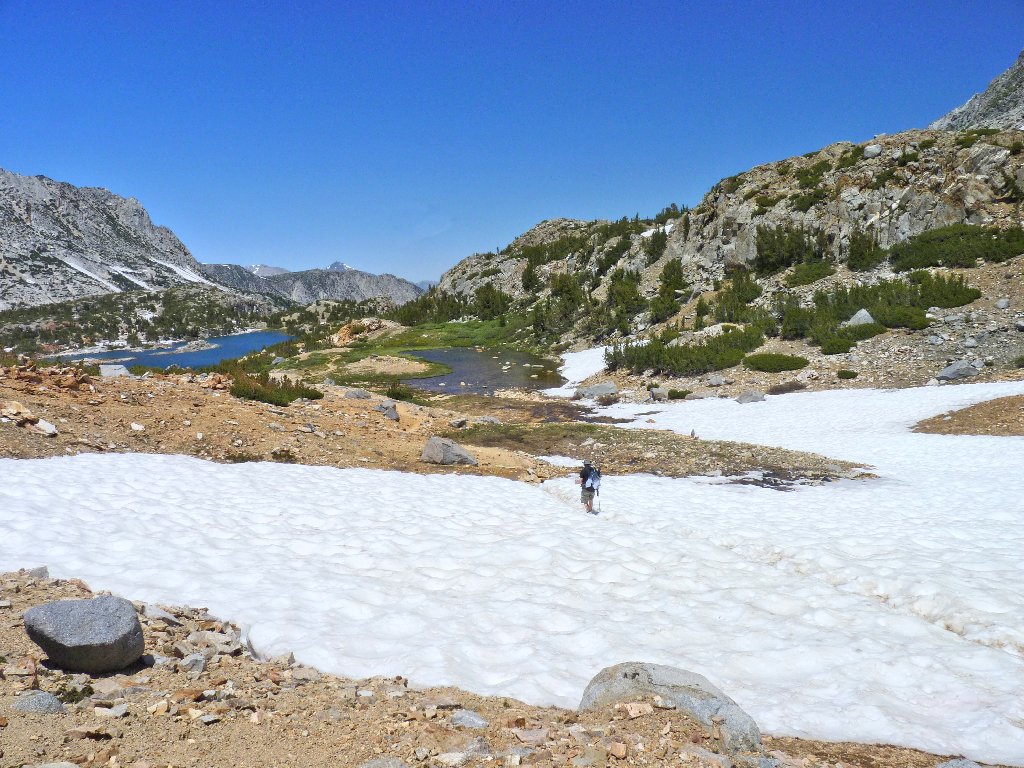
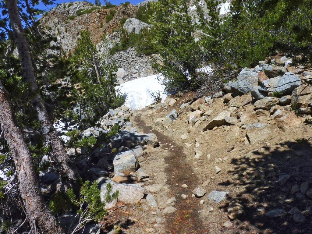
An interesting snowbank blocks the way up ahead. The path will be worn down to ground level long before the snow melts.
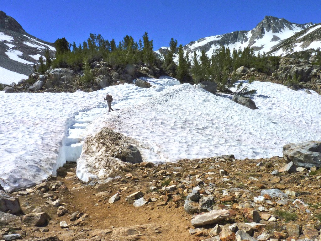
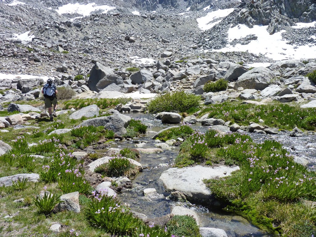
Upon reaching the Timberline Tarns, we find that the normal stream crossing is too deep to negotiate. While I take pictures of the smaller lake, Gary bushwhacks his way downstream in search of a way across, and finds one that requires only one big jump over the madly rushing channel, on partially wet rocks.
No crossing here
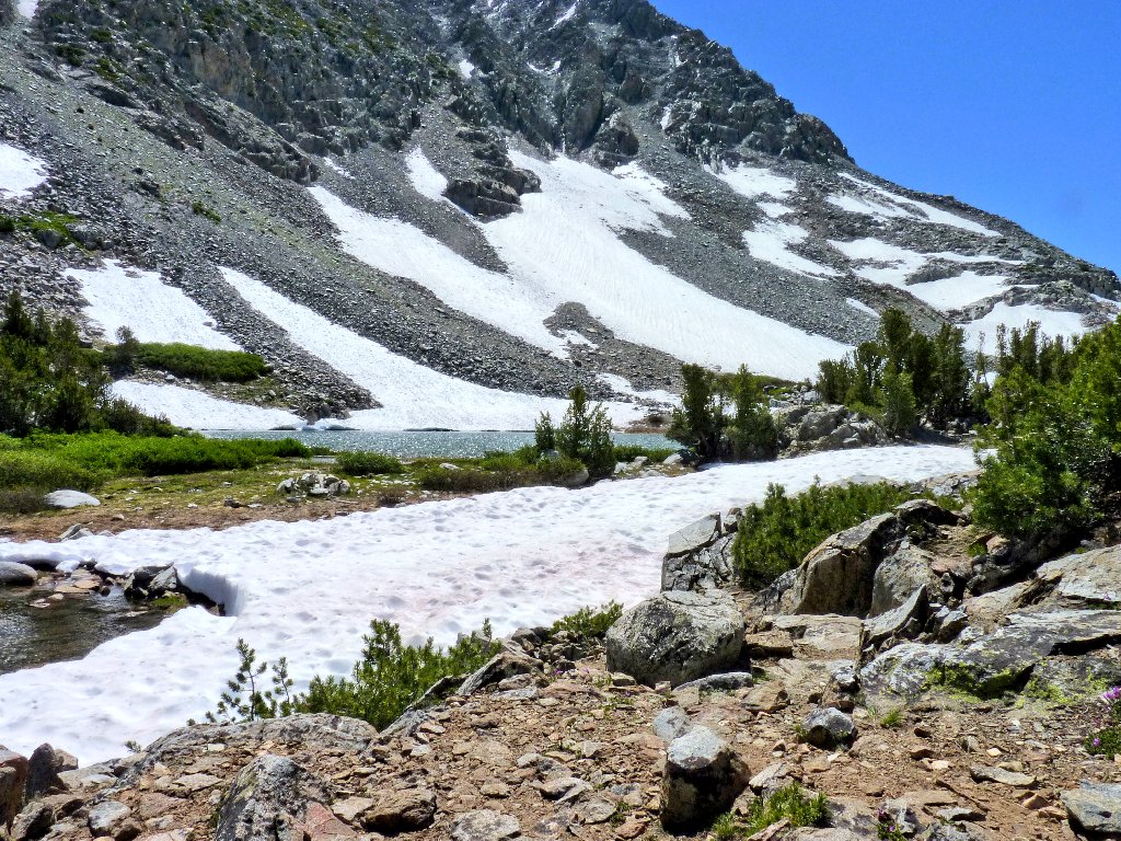
East Timberline Tarn
Back on the trail again, the scenery starts getting better and better. There is nothing for it but to marvel at the surroundings and click the shutter a lot.
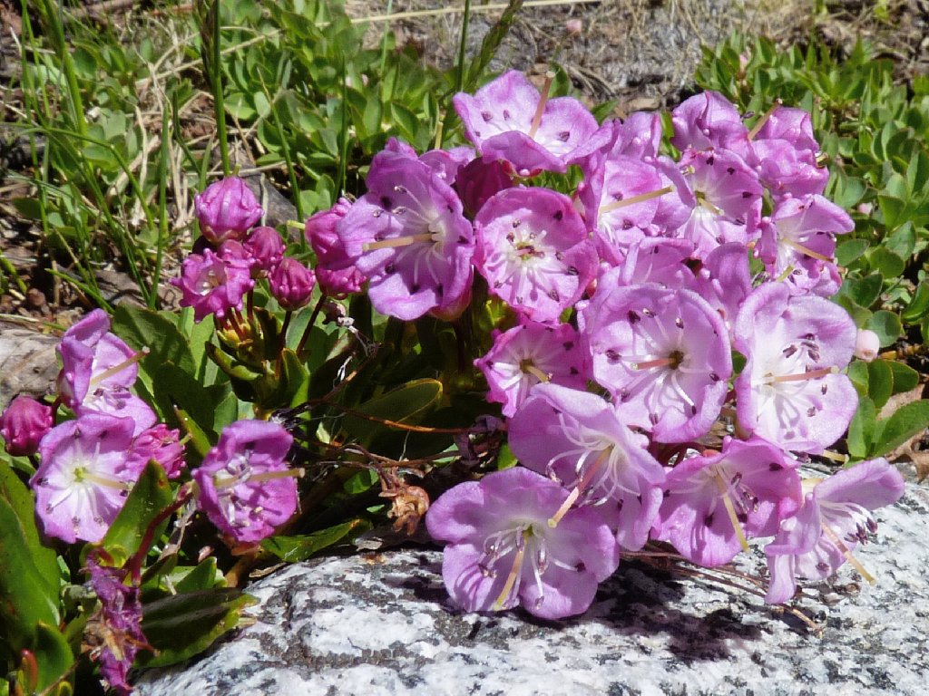
Mountain Laurel
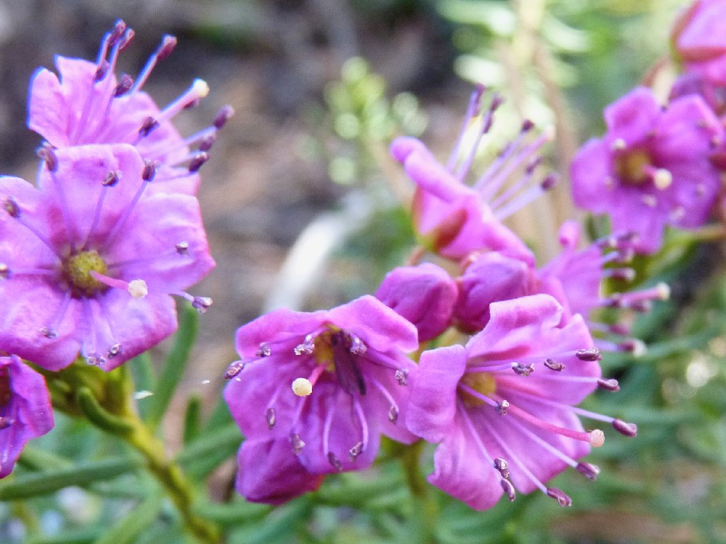
Red Mountain Heather
West Timberline Tarn
Bishop Creek is the star of the show
Gary is experimenting today, carrying a lot of camera equipment in order to see how the load feels. I gave up doing that a long time ago; but then, my photos haven't been winning any awards, either.
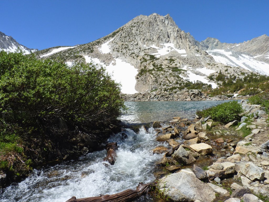
A bit of Saddlerock Lake
Gary's heavy tripod is making its presence known
The next water crossing is as picturesque as can be, but all the stepping stones are immersed too deeply for even my waterproof boots to handle. Skirting around the pond, we find a snowbank hanging over the water. Gary says, "I hope it holds". I respond, "You go first".
Can't cross here without getting wet
We'll try to cross over there
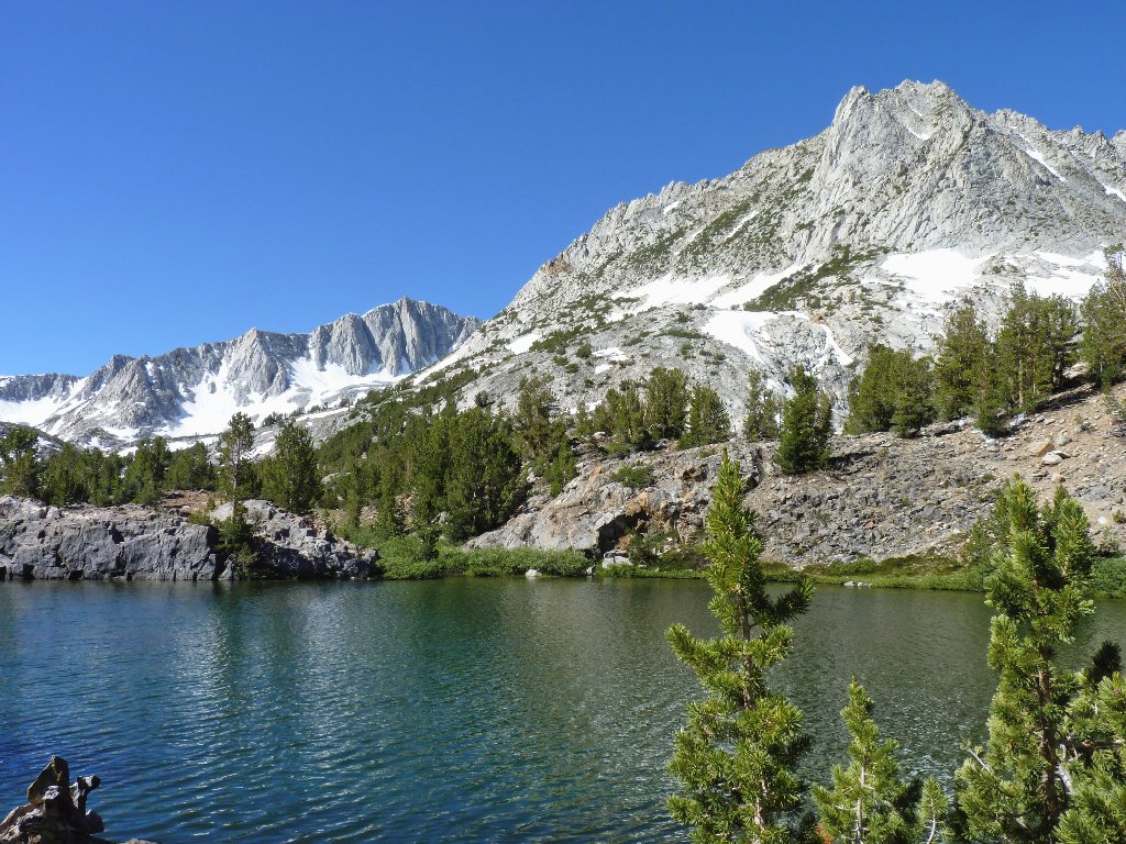
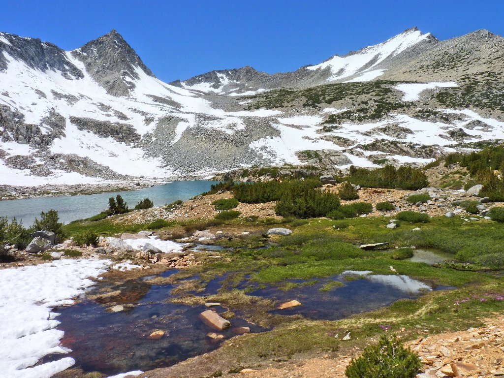
The passage being made without incident, the next attraction is Bishop Lake, the last one in the chain. From here it is a steep ascent up Bishop Pass, which appears to be quite snowbound. Gary wants to go a little farther as long the route is friendly, in order to gain a little elevation for some good photos. I am happy to follow.
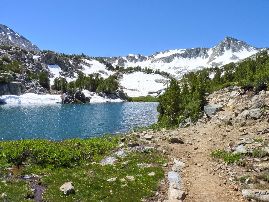
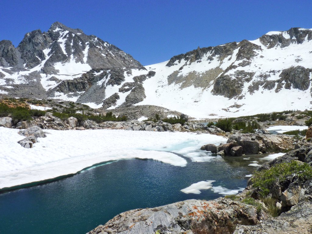
Bishop Lake
Soon we reach an especially verdant spot. Beyond this point, the going becomes steep and rocky.
This is one good-feeling place!
This is as far as we will go
Ranger Steven appears from farther up the trail. Hailing from Paradise, California, Steven puts in a couple of months of volunteer effort here each summer. He tells us that the trail ahead is problematical in places, and that any additional reward isn't worth the effort today. Although the pass itself was my original intended destination, I'll be prudent and stop here.
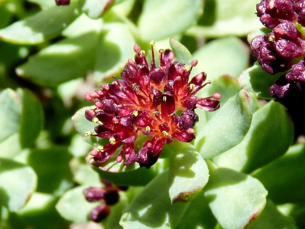
Ledge Stonecrop
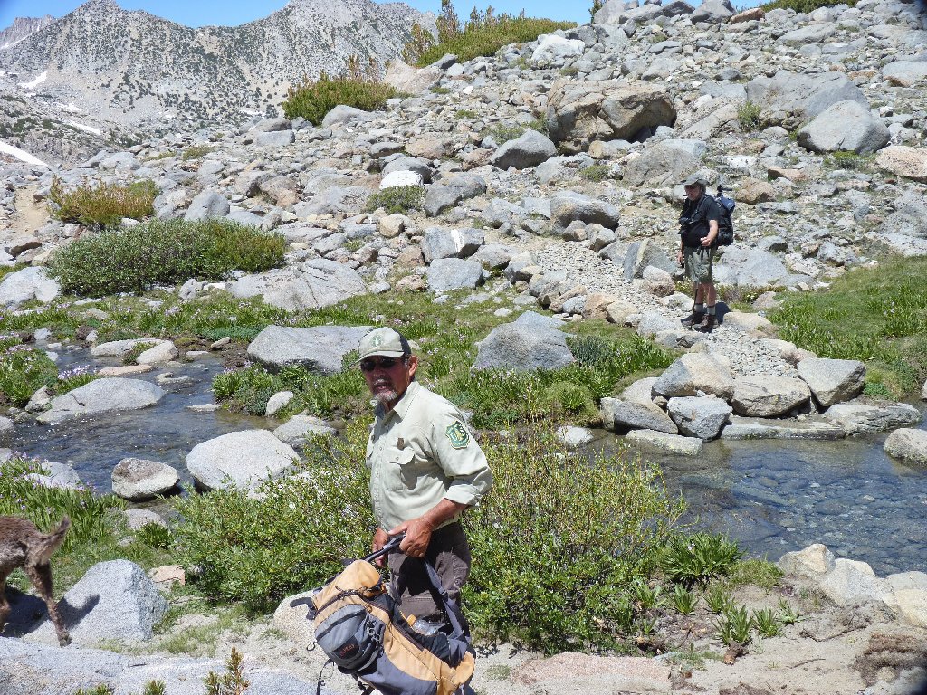
Ranger Steven
It is a bit difficult to depart this pristine setting, but it must happen eventually.

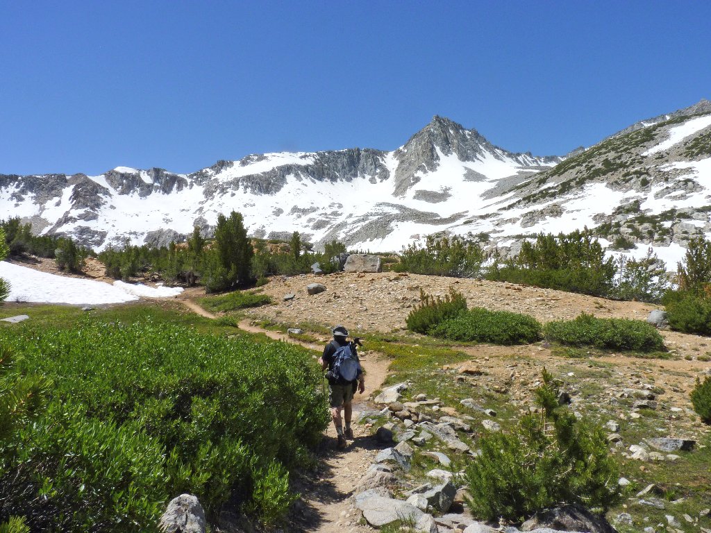
Starting back
Kings Canyon National Park is on the other side of the Sierra Crest
Gary has done enough exploring for today. After giving me directions to his nearby cabin, he continues down the trail. I head over to see the portion of Bishop Lake that has been out of sight until now.
It's that sunken sidewalk again
Gary heads back
Scrambling over the rocks, I find that the western half of the lake still is frozen.
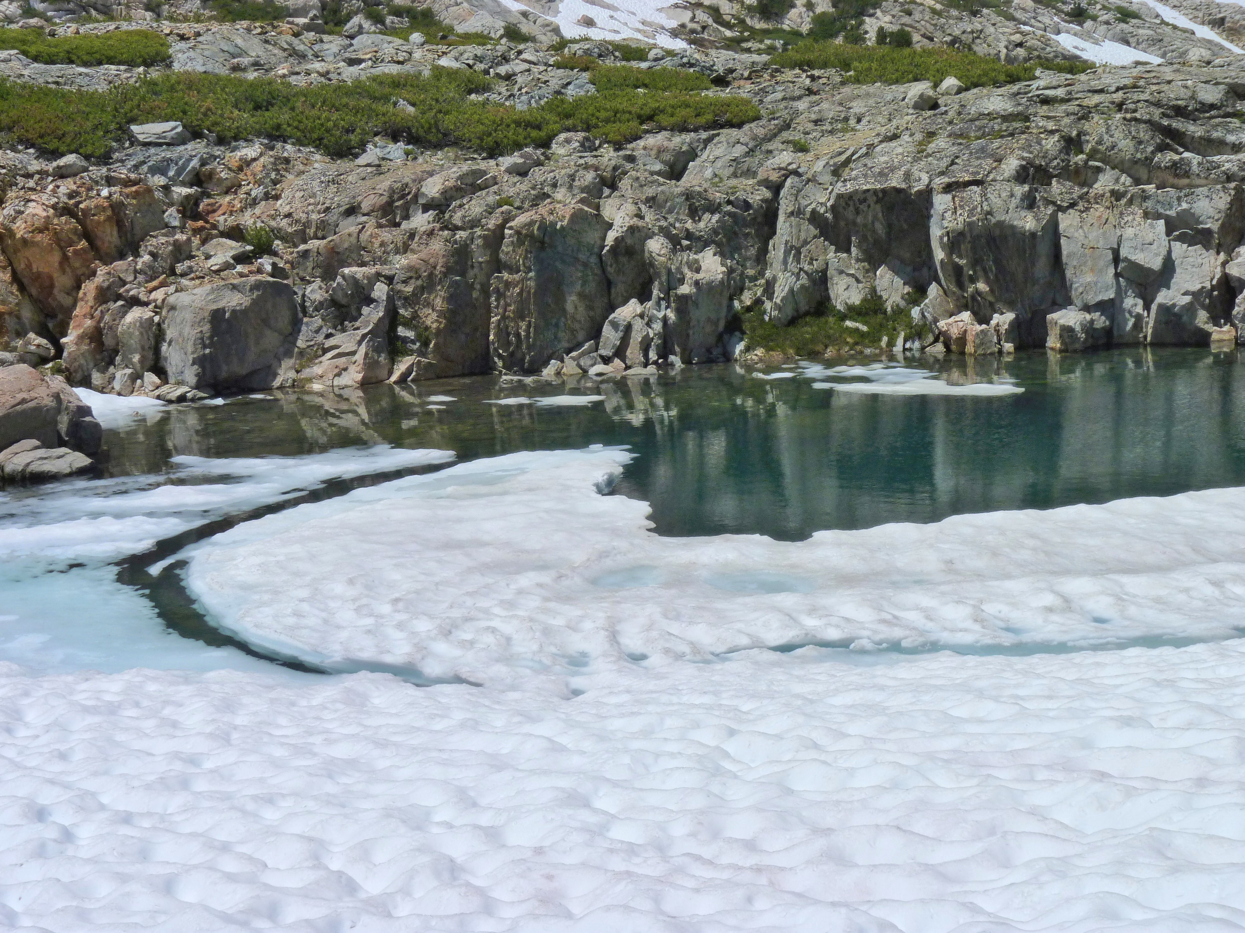
Ice and snow on Bishop Lake
I stop here to remove my boots and give my feet a well-deserved rest.
They have put in six miles already, with nearly that much yet to go.
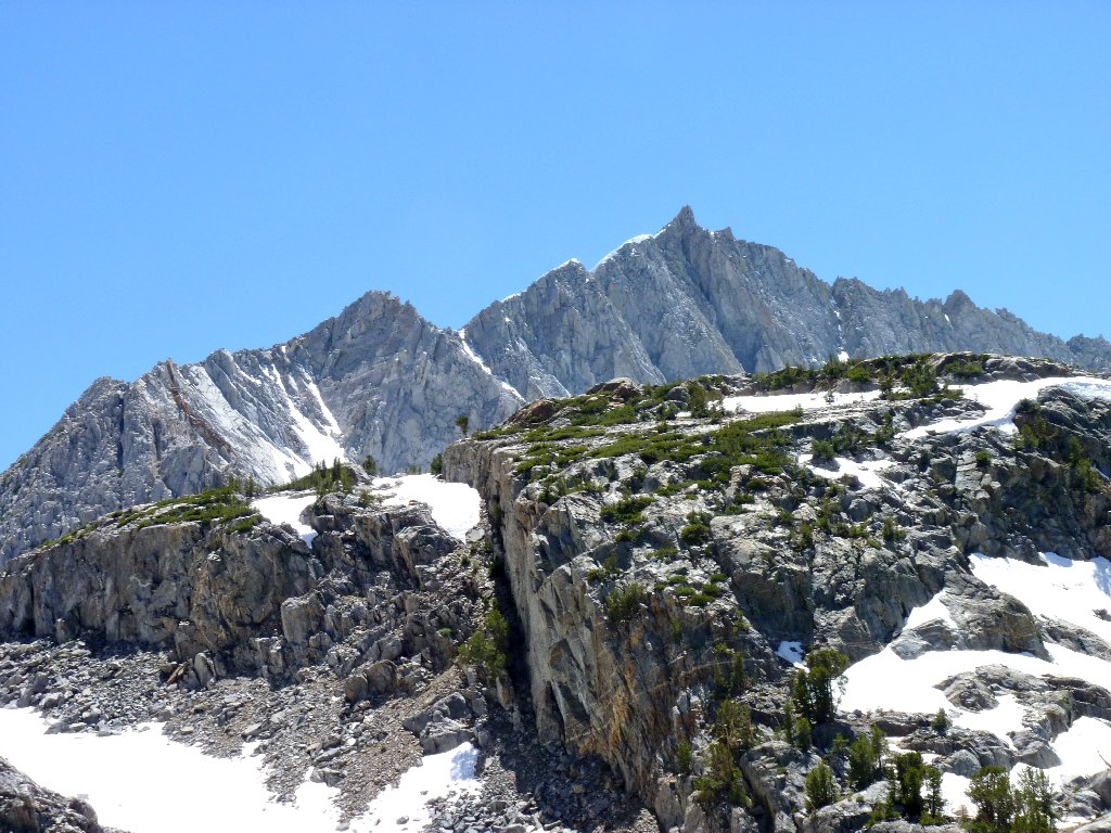
Mount Agassiz, 13898', and Bishop Pass, 11972'
Mount Agassiz, one of California's top twenty, is a popular destination, because it can be summited without climbing equipment. Two other Sierra peaks share its name, but this is the big one.
As I start back toward the trail, a little ski hut appears. Shortly after passing it, I traipse right through a couple's hidden campsite. Oops. They probably thought that they had found the perfect getaway spot.
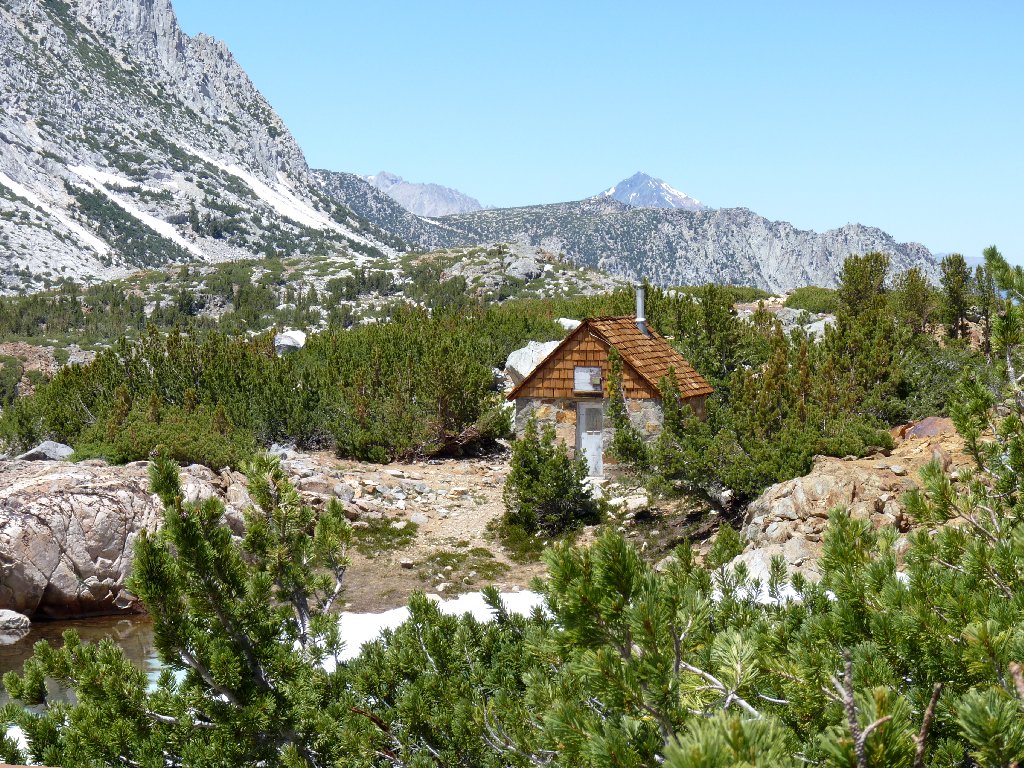
Ski shelter
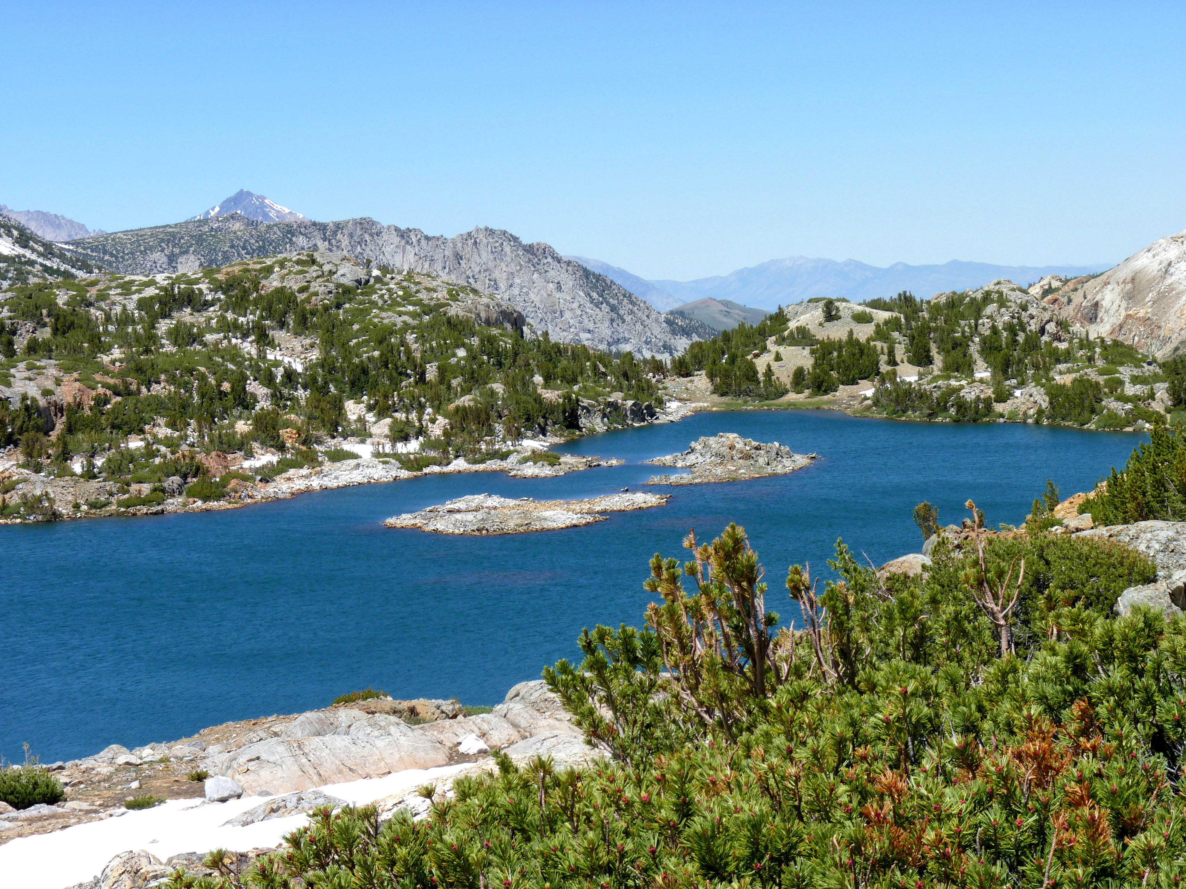
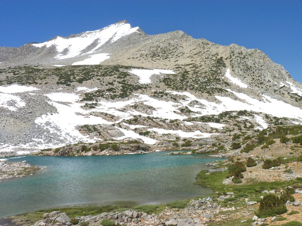
Saddlerock Lake and Mount Tom, 13658'
Ledge Lake is barely visible
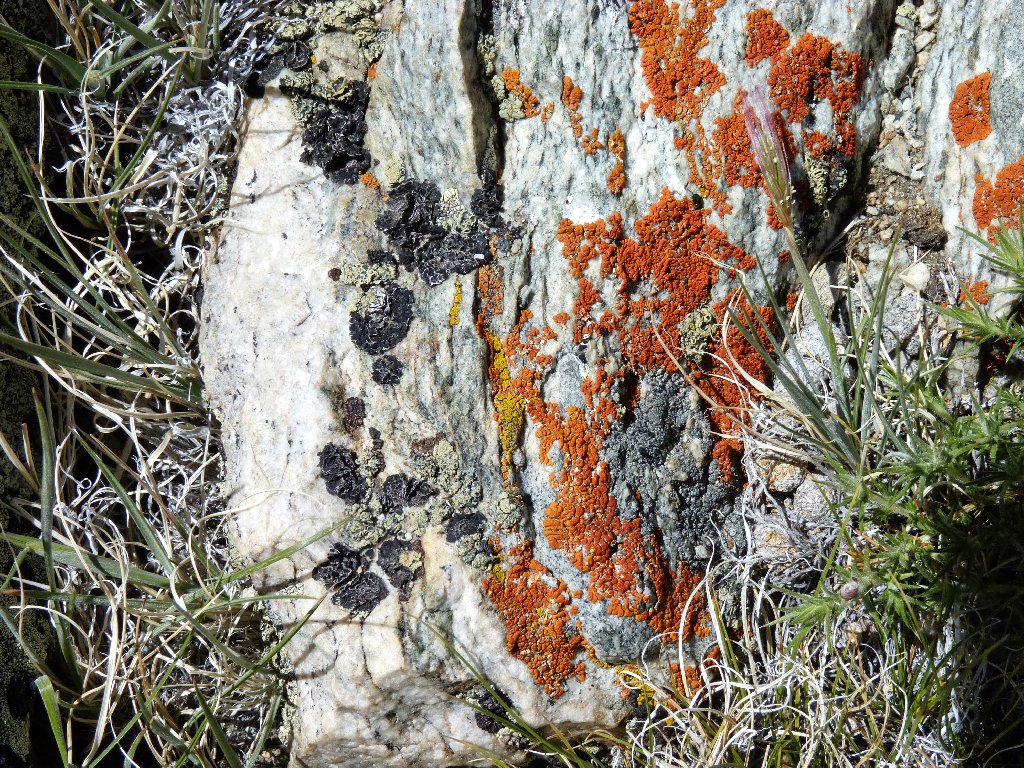
Golden Hair Lichen
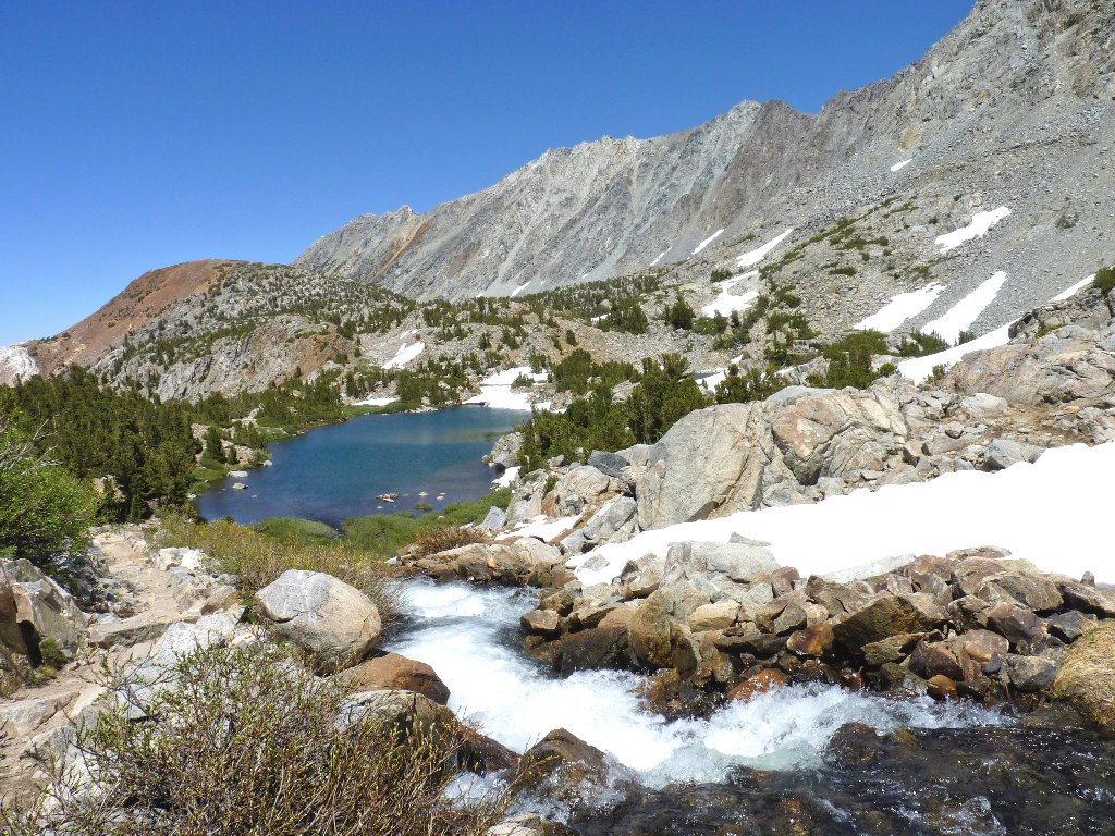
Cascading into Timberline Tarns
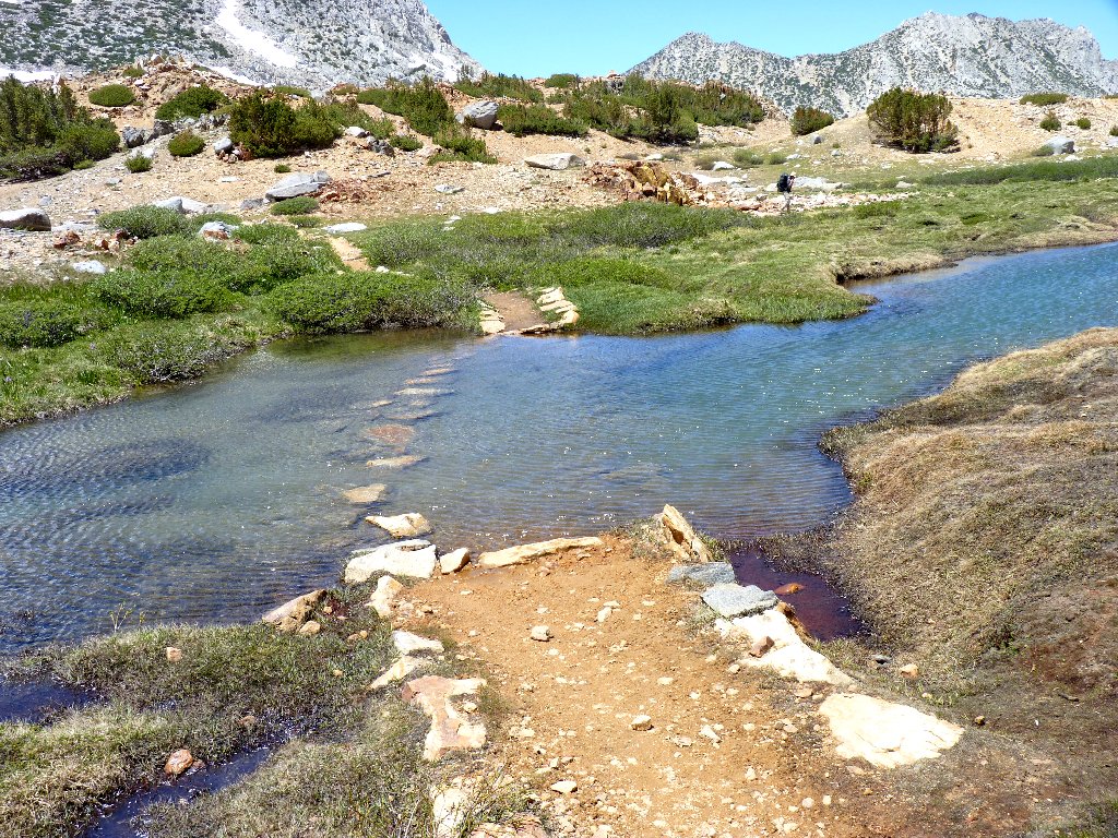
Just past the tarns, while hunting for the temporary creek crossing,
I am treated to what is arguably the finest vista of the day —
Spearhead Lake and Long Lake.
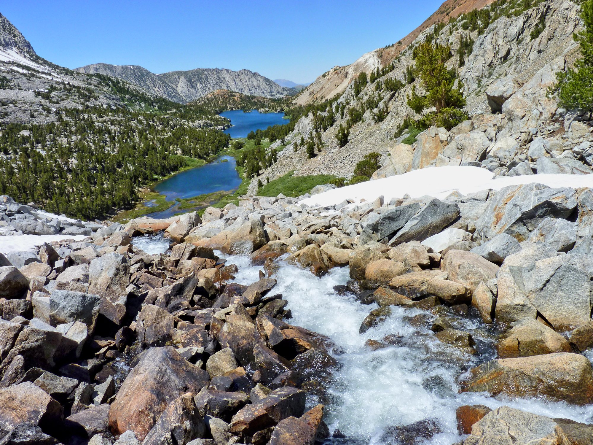
This is why I go hiking ⇔
Due to the configuration of the rocks, I choose a different spot to leap across, again without incident.
The selected crossing
Wet going
Catching a furry movement out of the corner of an eye, I turn too late to see what must be a marmot scampering into a small cave. I probe inside the opening with my camera, but the little guy won't show himself.
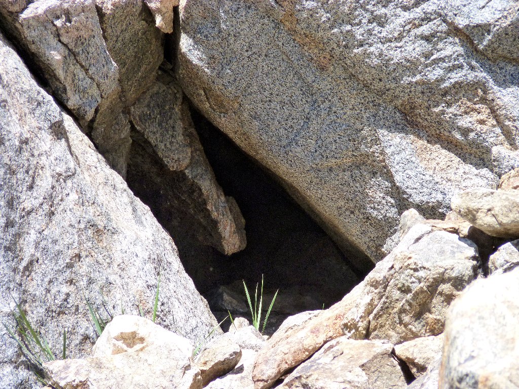
Marmot's lair
Across the canyon, the dikes in the rock are putting on a fantastic geometric display.
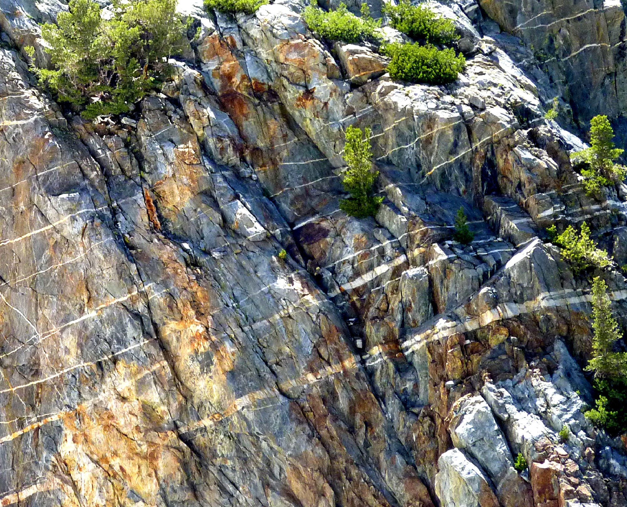
My favorite photo of the day ⇔
Mount Goode, 13085'
Back at Long Lake, I doff my pack and crouch down among the pink columbines for nearly fifteen minutes, hoping for the breeze to die down enough for me to get a good photo or two. I finally achieve a certain amount of success.
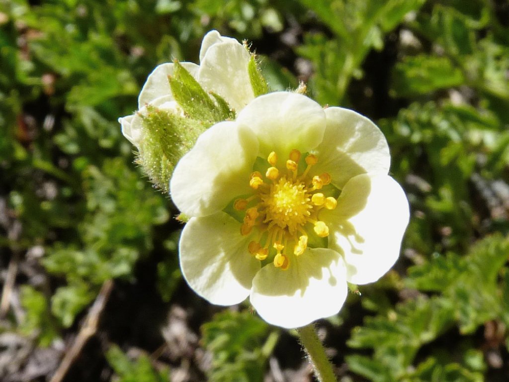
Woodland Strawberry
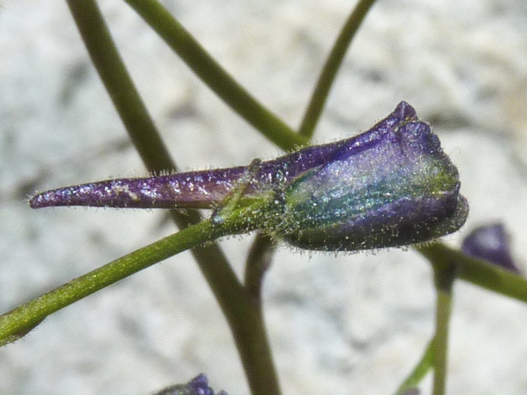
Mountain Marsh Larkspur
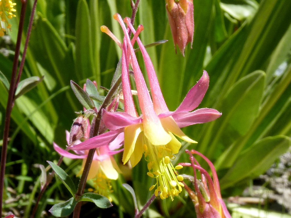
Coville's Columbines come in two color patterns
Near the northern end of the Garden of Eden, a few nice features remain.

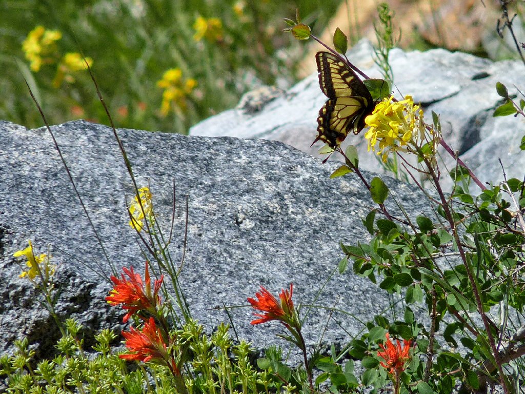
Anise Swallowtail
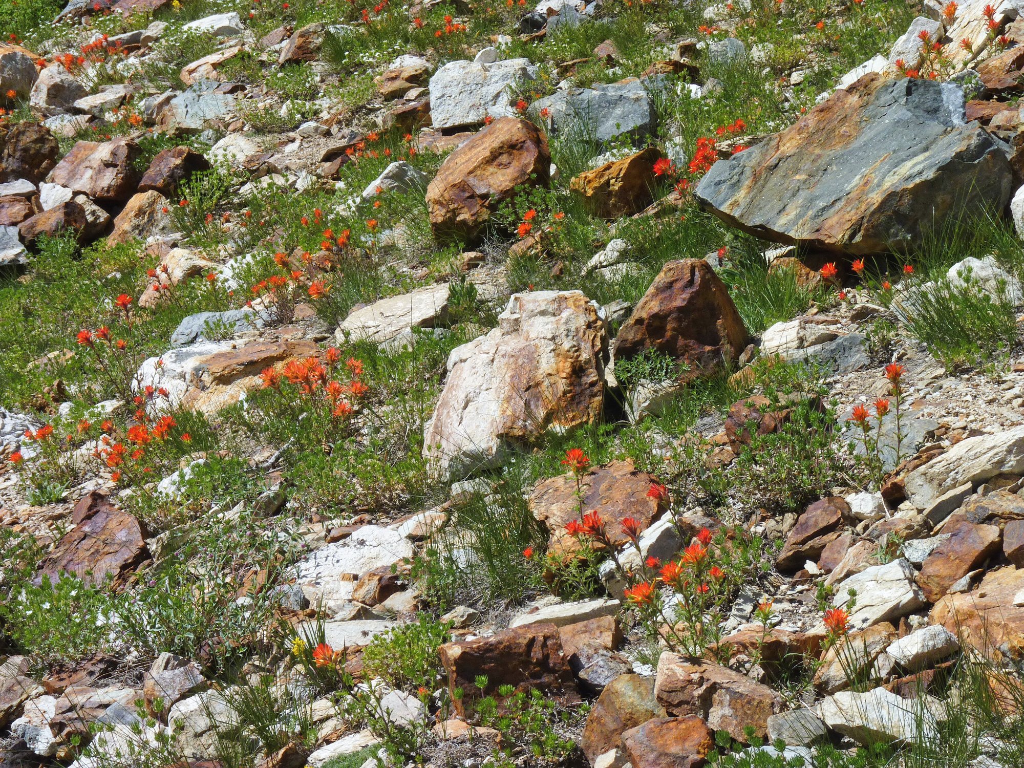
Paintbrush gardens are special ⇔
One of the most spectacular mountains I have seen deserves a bit more attention as well:
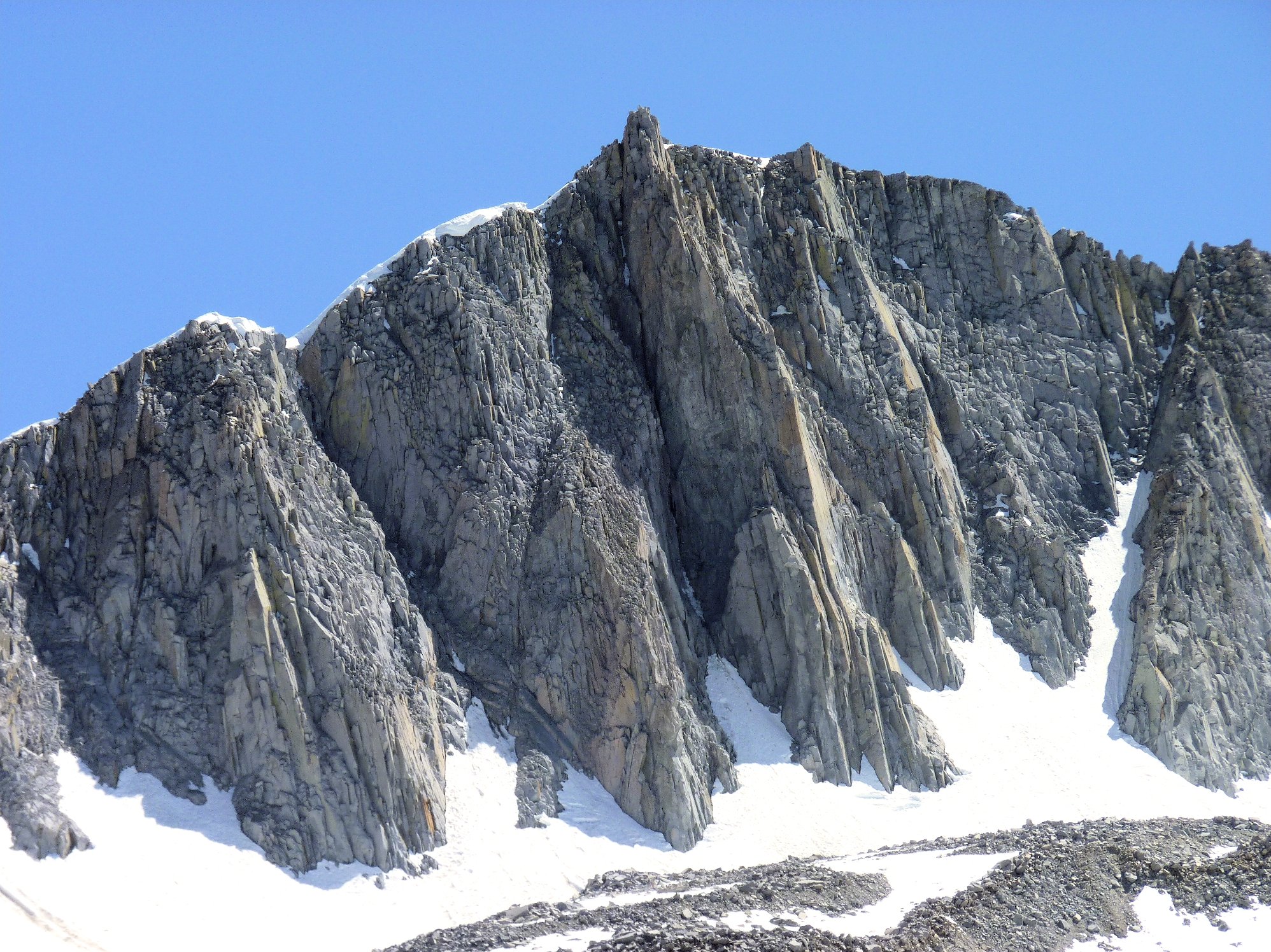
Mount Goode up close ⇔
With a heavy heart I give this gorgeous valley a final backward glance, then head over the saddle and scamper down toward the trailhead. I mustn't be late for dinner!
North end of Long Lake
Hurd Lake
Getting closer
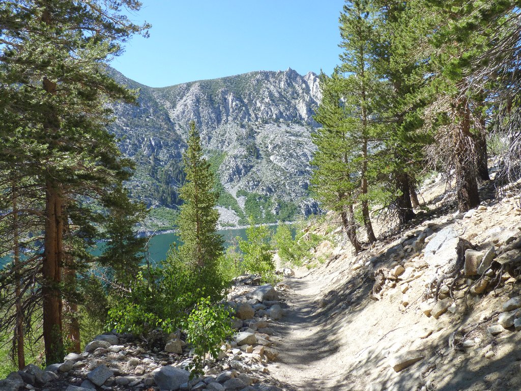
South Lake reappears
§: What a remarkable day! I shot nearly 300 photographs —
easily a personal record, and I made a couple of new friends in the process.
Hiking doesn't get any better than this.
A minor regret is not having been able to get up to Bishop Pass for what must be a superlative view of the entire drainage. My next visit will be a bit later in the season, and there are many other area trails to explore as well.
| Scenery |  |
| Difficulty |  |
| Personality |  |
| Flowers | |
| Solitude |  |
