
Desolation Wilderness
|
Island Lake~Tyler Lake Traverse Desolation Wilderness |
August 23, 2019
This is supposed to be a big day. Little Pyramid Peak (shown only as Peak 9441 on a topo map) has been on my bucket list for a long time. Having finally summoned the necessary resolve, I hope that I have not waited too long, and that I actually still can make it up there.
Part of my incentive is due to a hike last week to a new place. After a couple of miles, I turned back because the walk was so uninteresting. Today's outing will be anything but that.
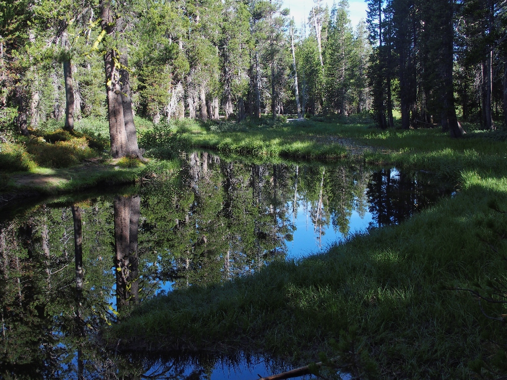
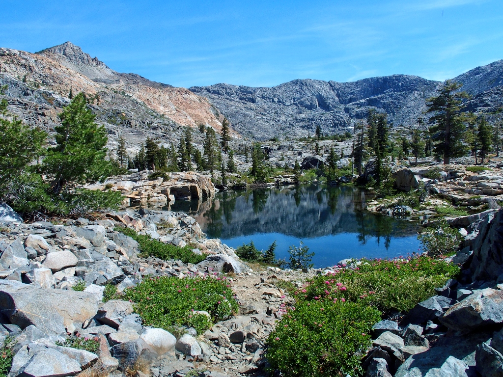
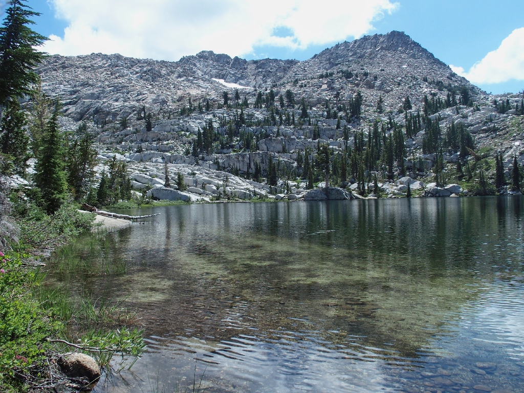
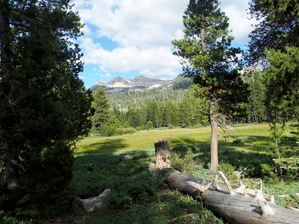
Early morning reflections
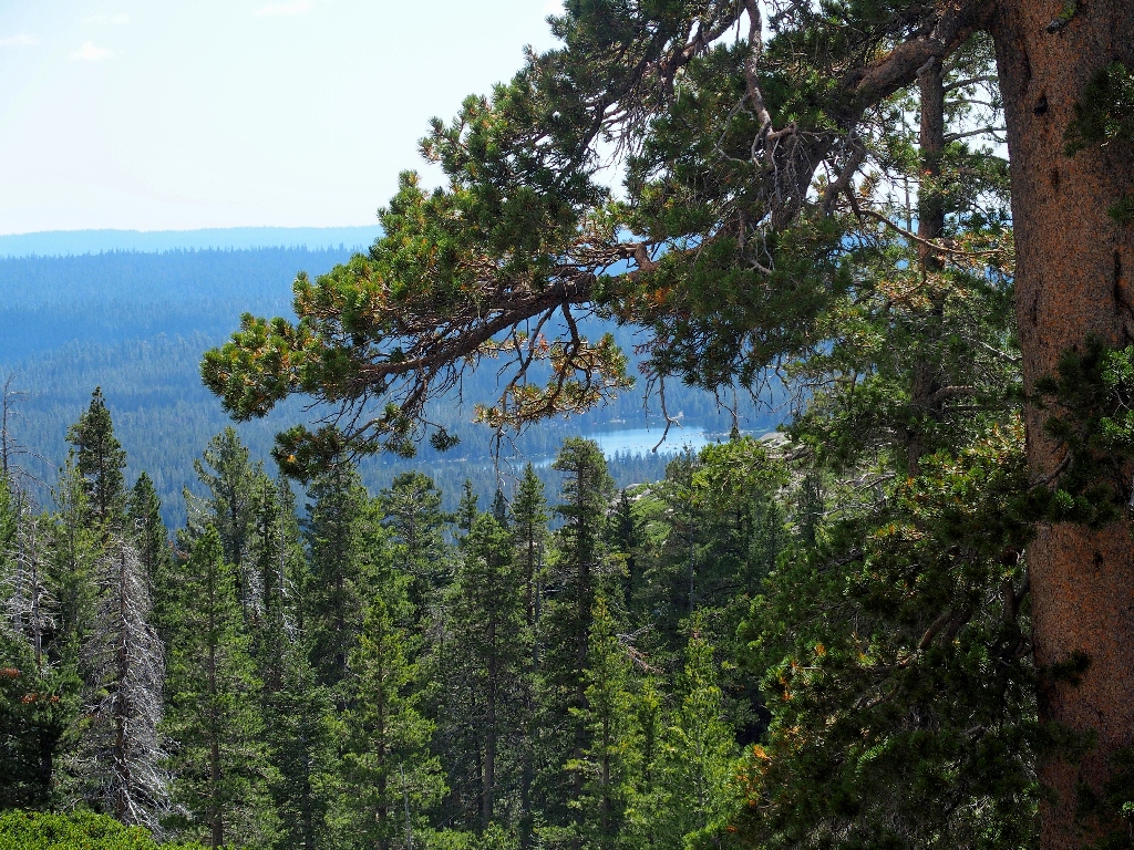
Getting started
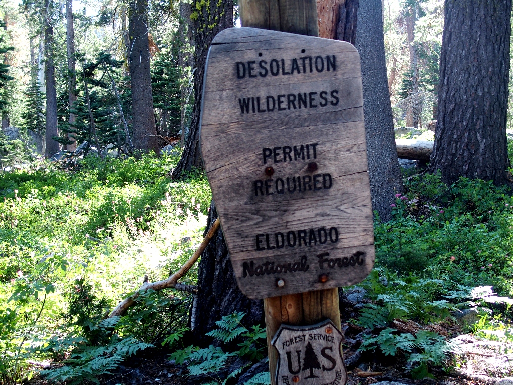
The permit is free; they just want an activity log
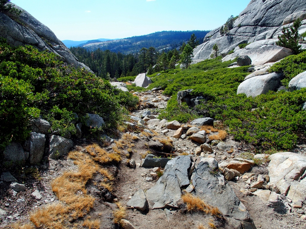
Wrights Lake has been left behind
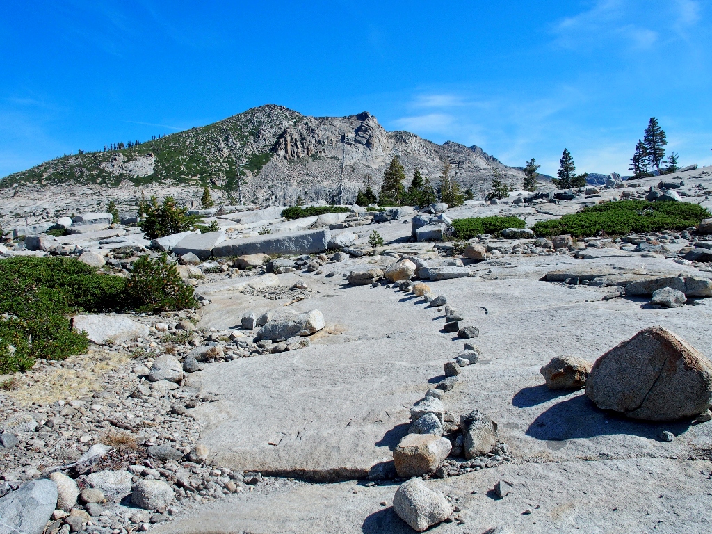
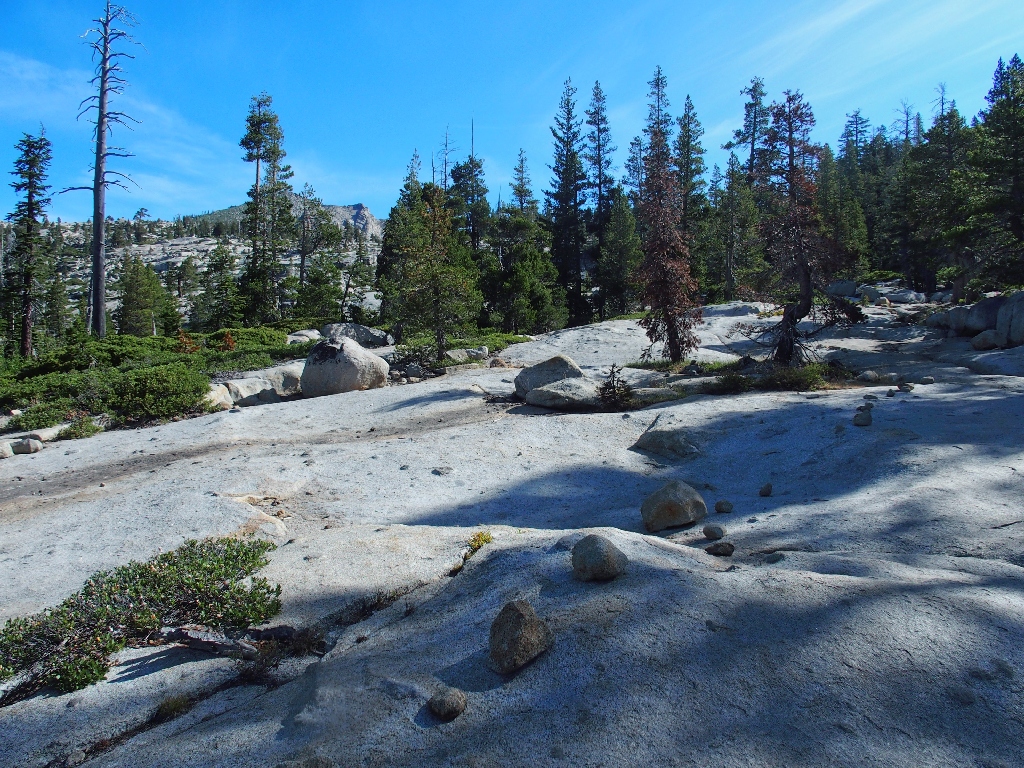
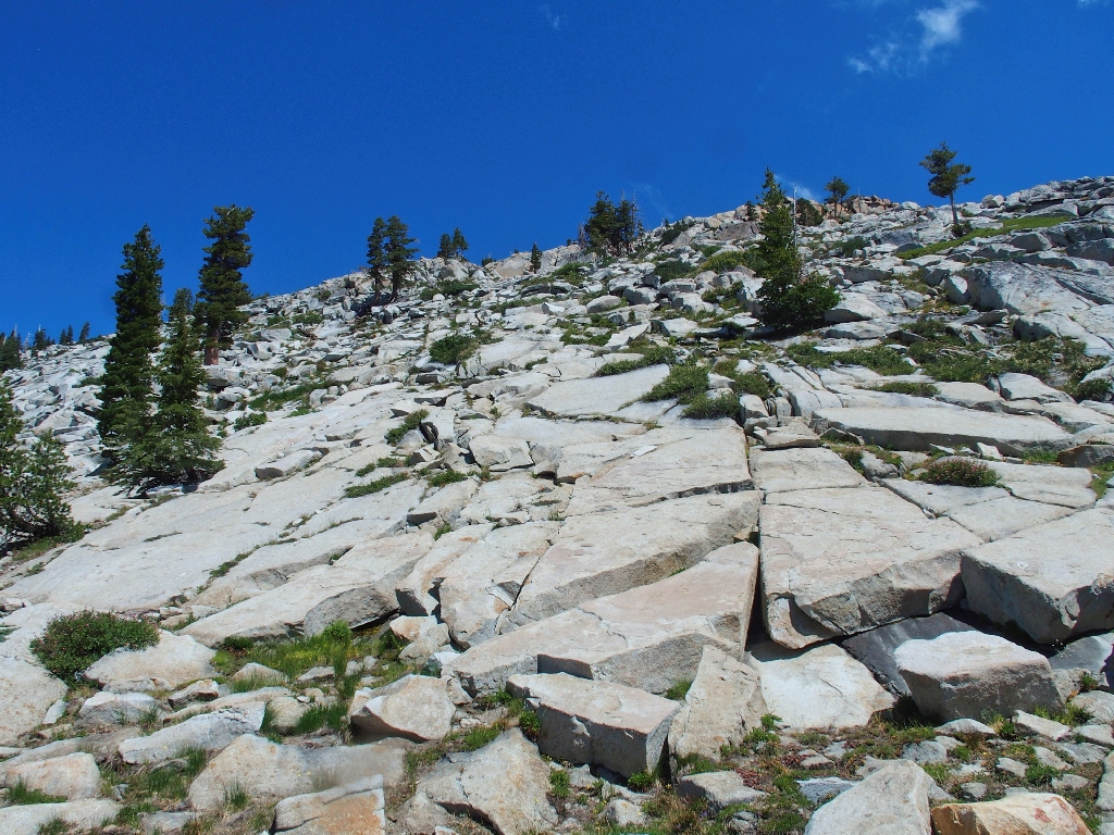
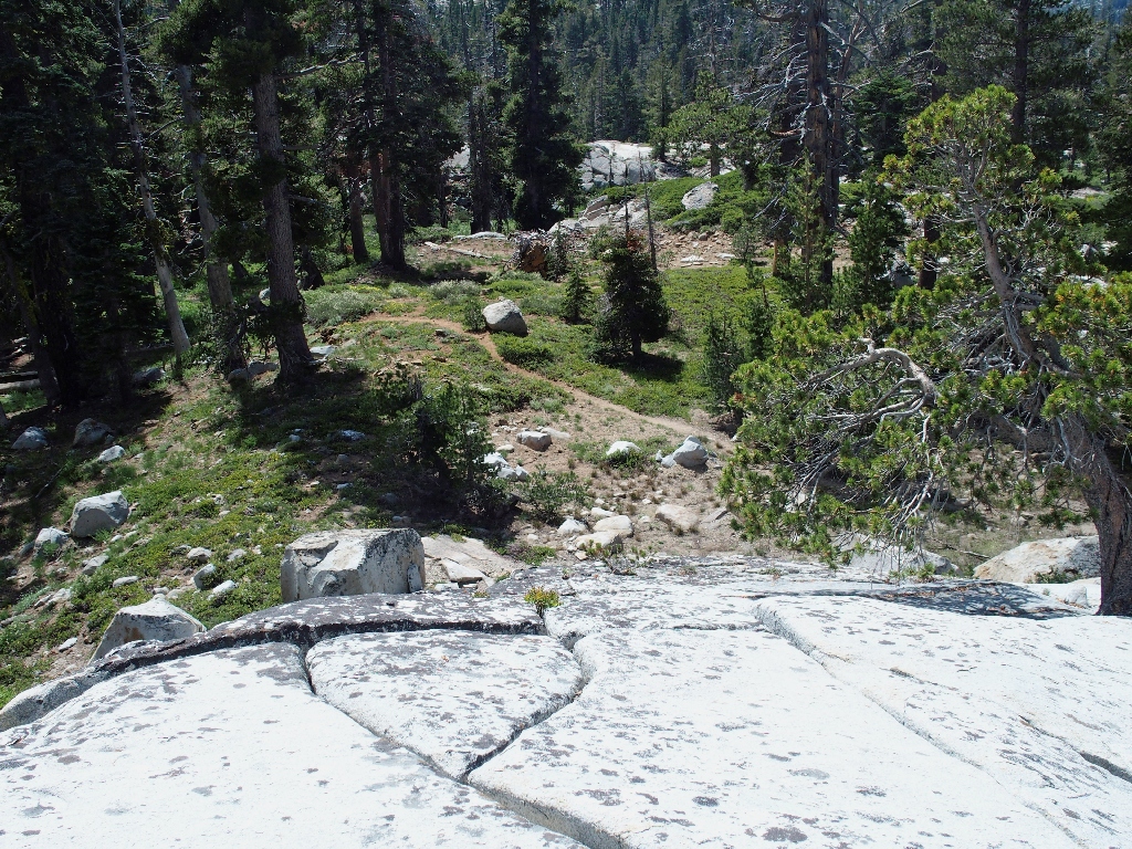
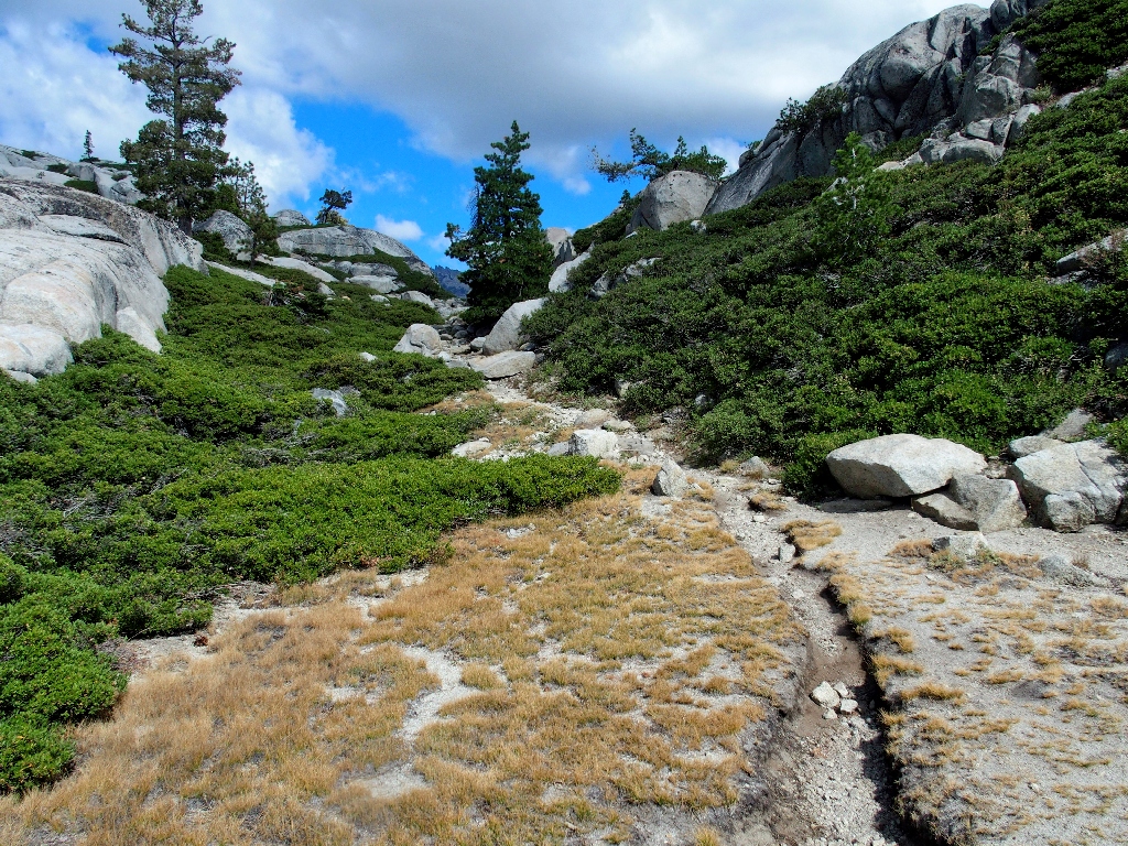
Easy to follow
Because my usual route up this way is cross-country, much of the main trail has dimmed in my memory. I do recall this nice spot on South Silver Creek, however:
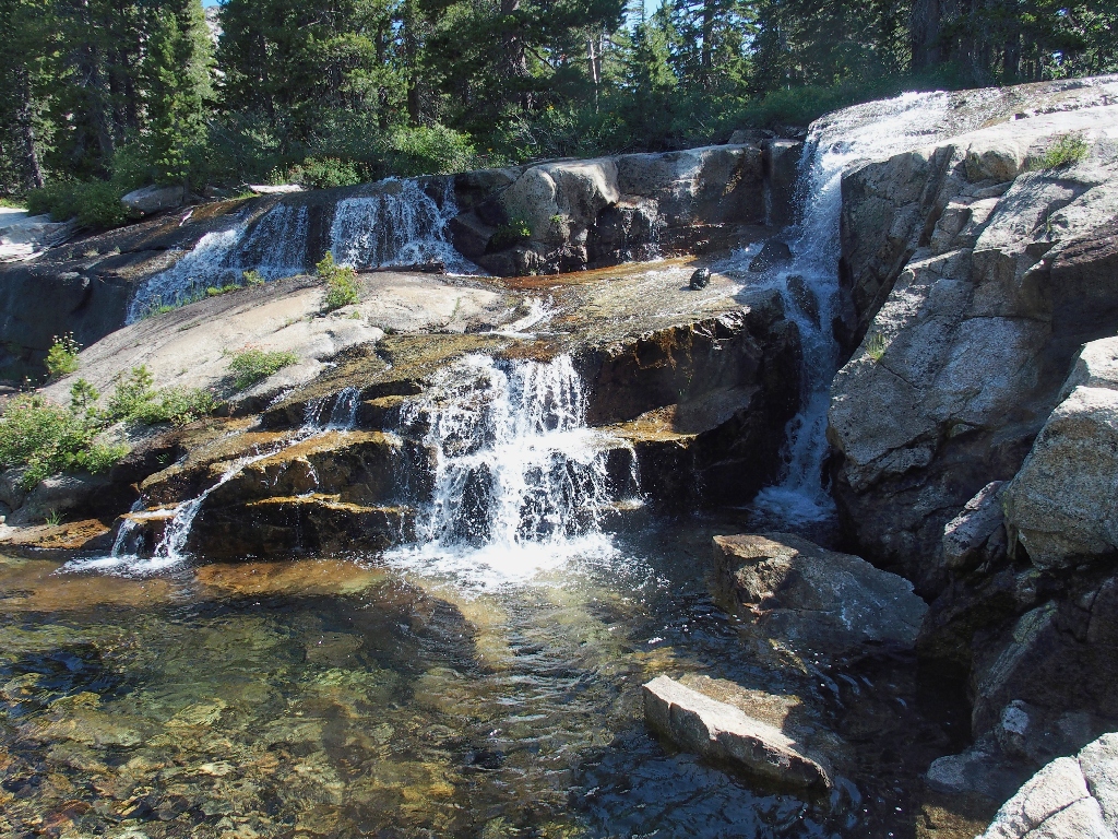
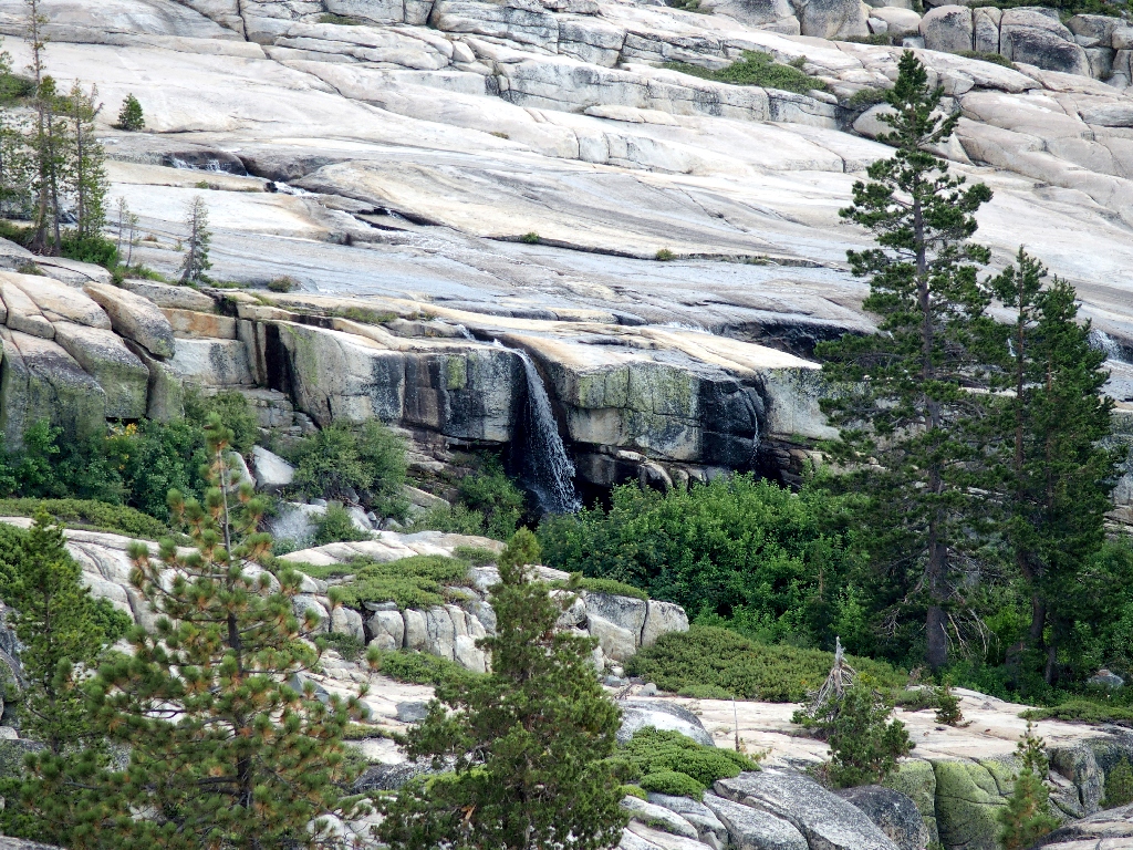
'Backyard Falls' are so-named because that's where I would like them to be
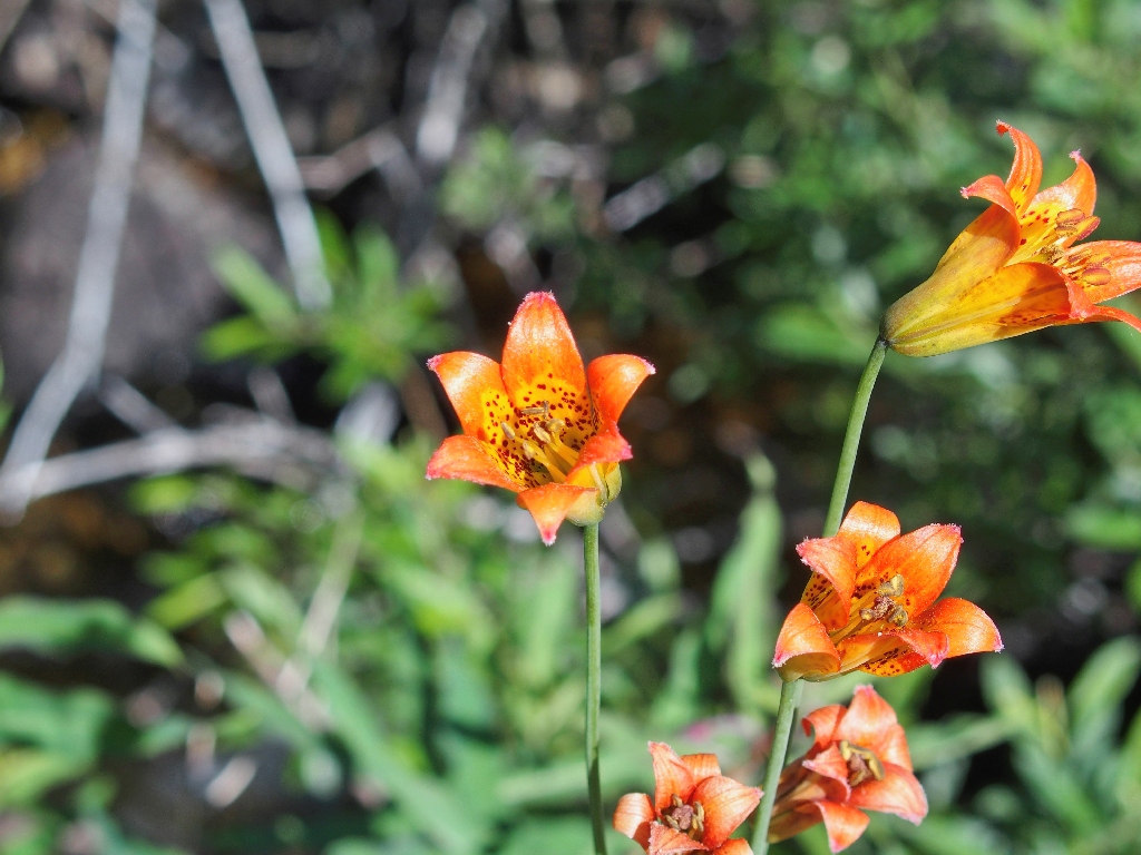
Alpine Lily
It is late enough in the season that the usual mosquito horde is mostly absent, even in areas of standing water.
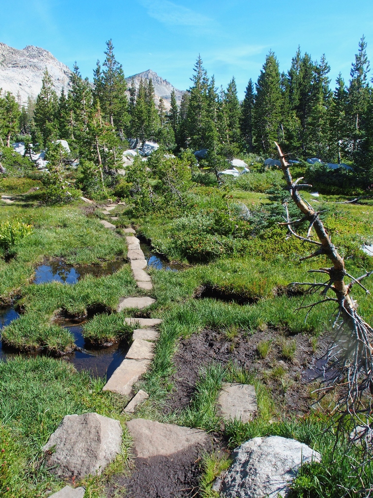
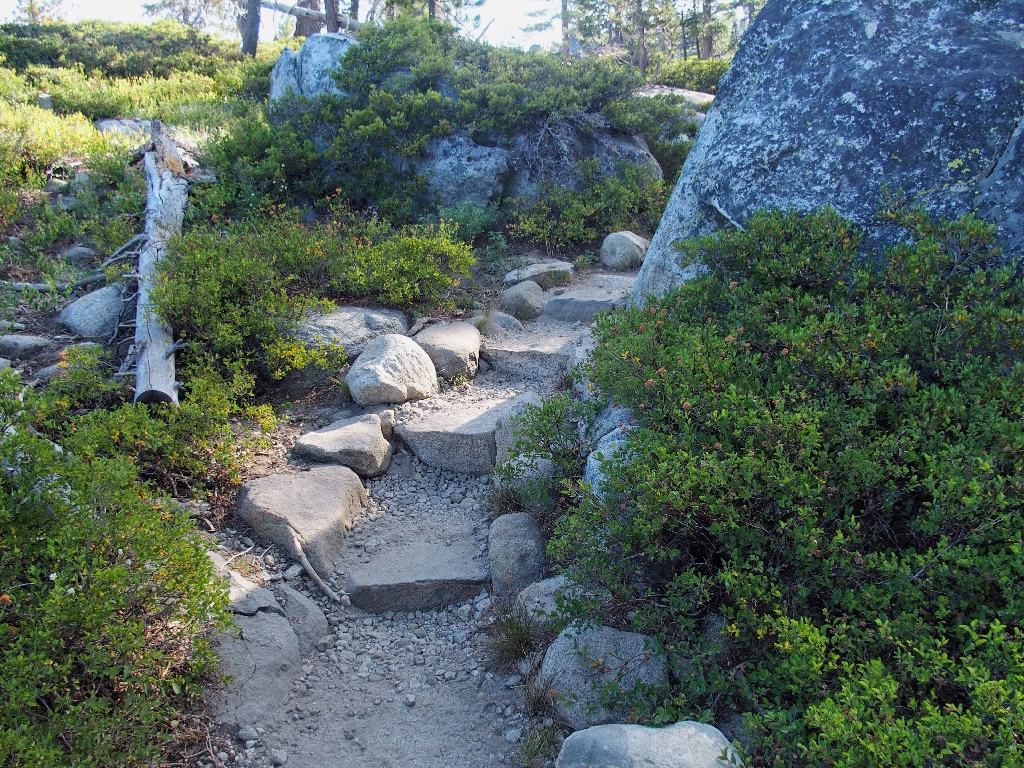
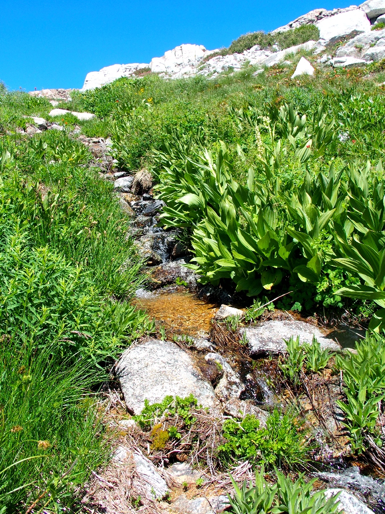
A nifty path through the bog
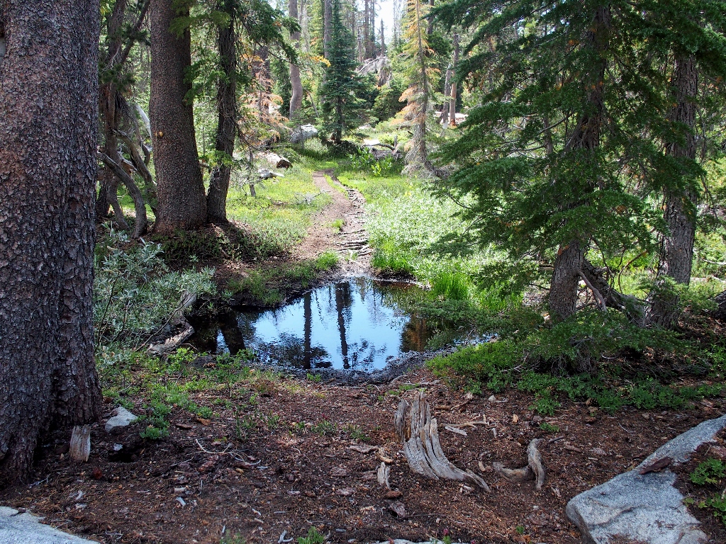
Abruptly I am at Lower Twin Lake, where one must cross the creek in order to continue up the trail. Earlier in the season, that is impossible without getting wet feet; but today the water level is low enough for an easy scramble.
The crossing poses no challenge today
At the Lower Twin Lake outlet
It is pretty eerie around here right now; for there are no other people, and I would have bet heavily against that. Twin Lakes is a popular camping area, and rightly so; yet on this beautiful summer Friday I have not seen a soul either on or off the trail. Go figure.
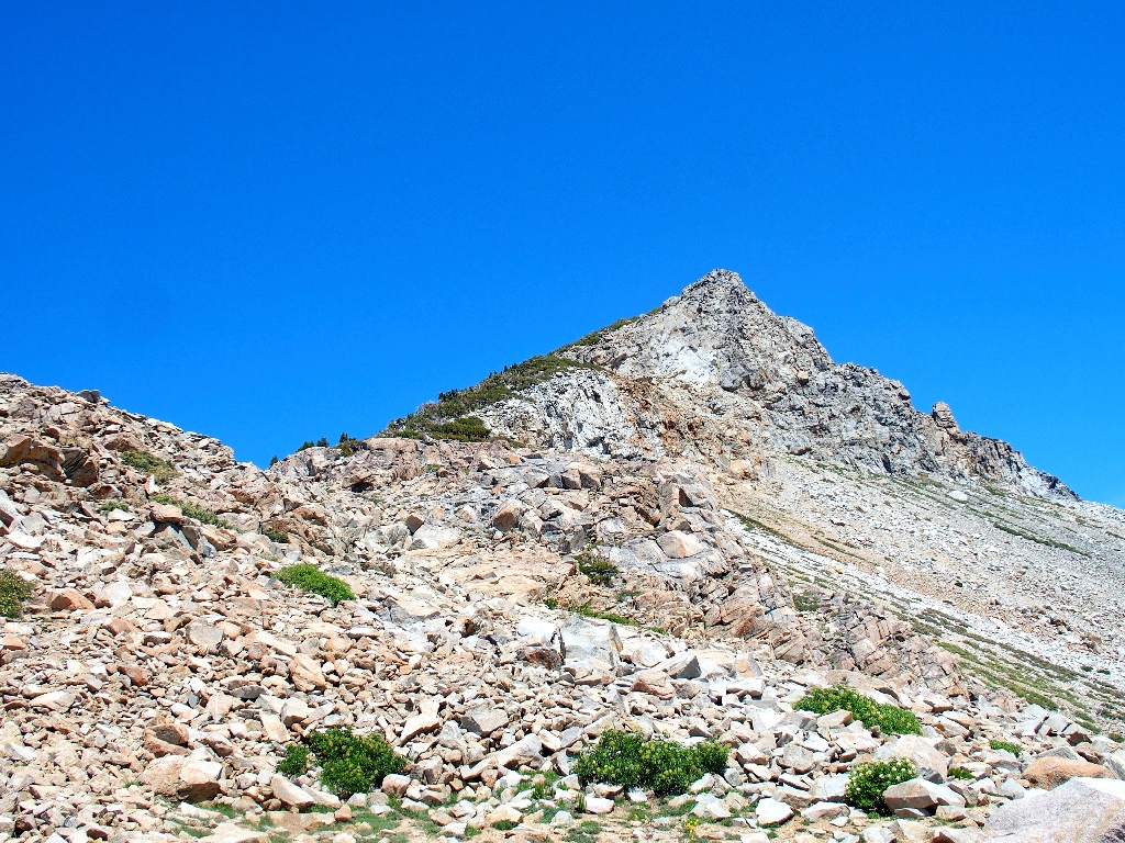
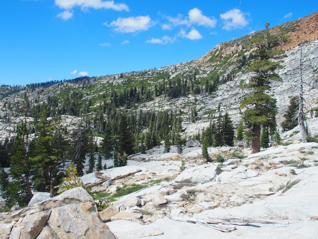
The objective appears
The next mile of trail is somewhat rougher, it being less frequently visited. All the visitors who don't venture beyond Twin Lakes miss out on the best stuff without even knowing it.
Boomerang Lake
Right beside the lake is a little cliff where I knew that I would find these guys:
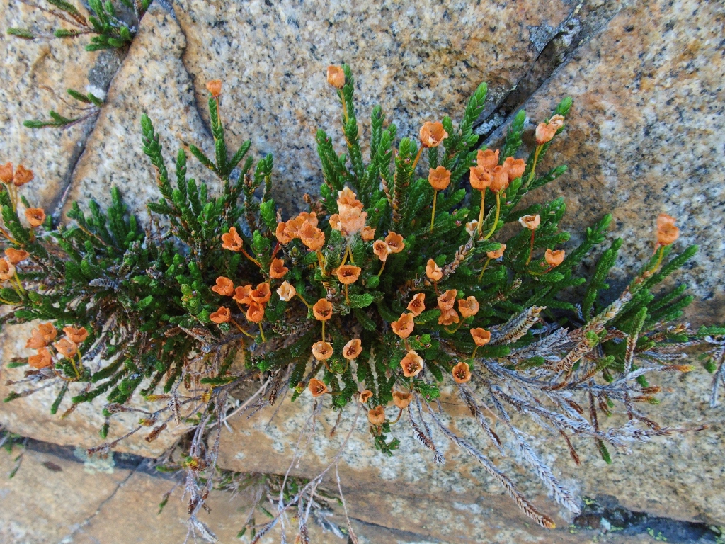
Late-stage White Mountain Heather — one of my Special Seven
Unnamed pond
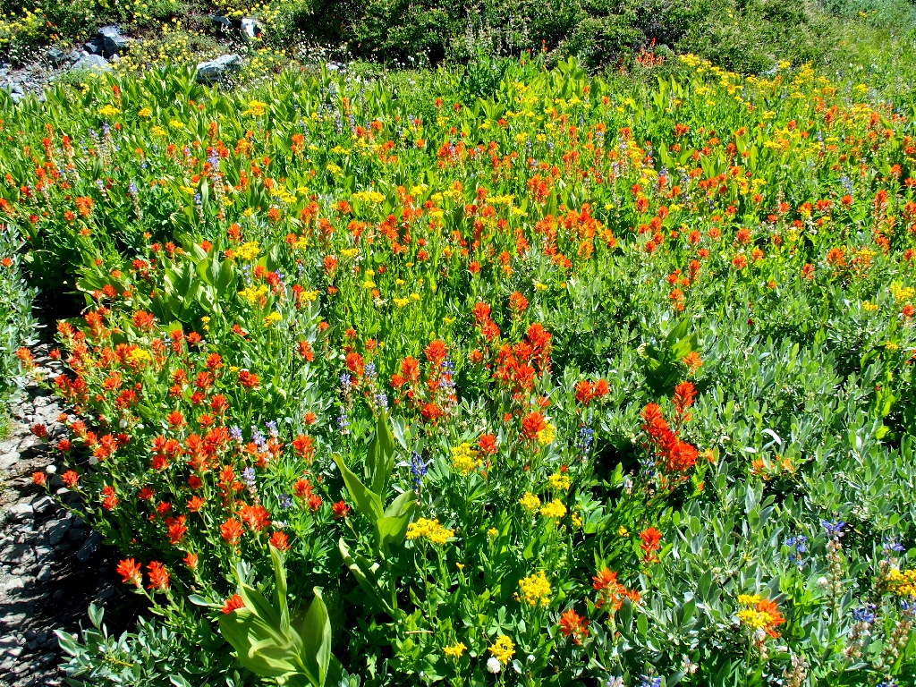
Paintbrush, Ragwort, and Lupine
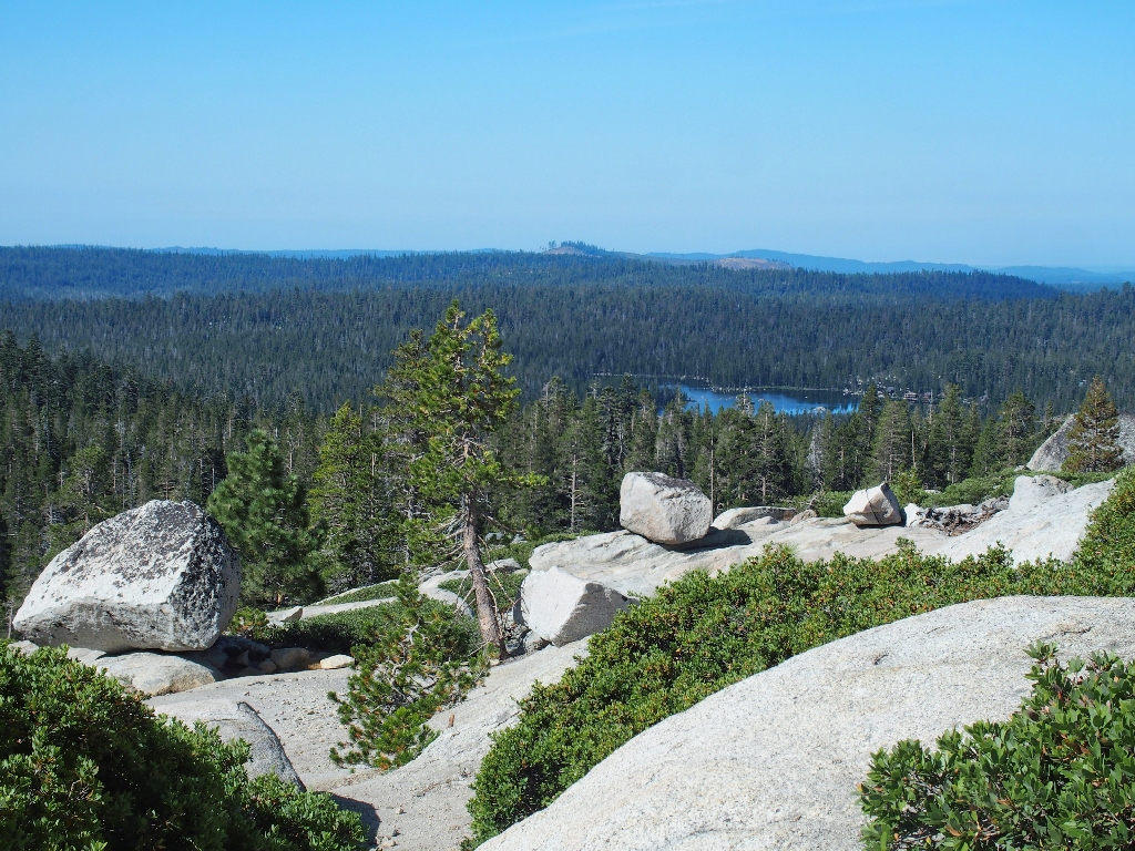
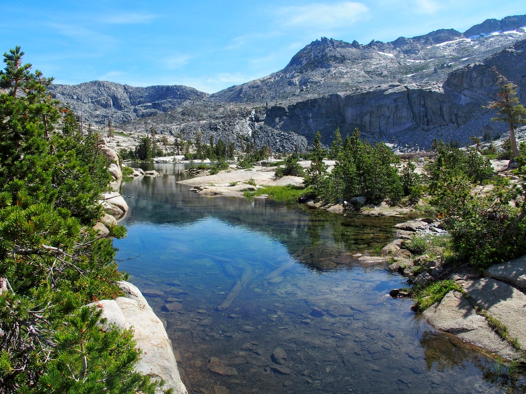
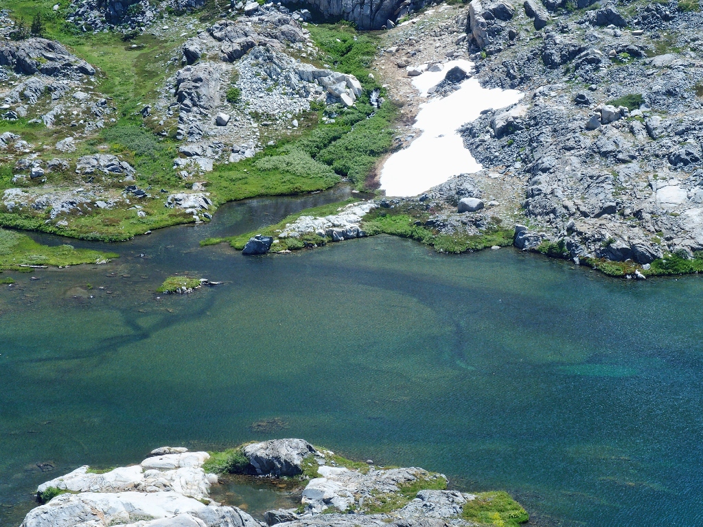
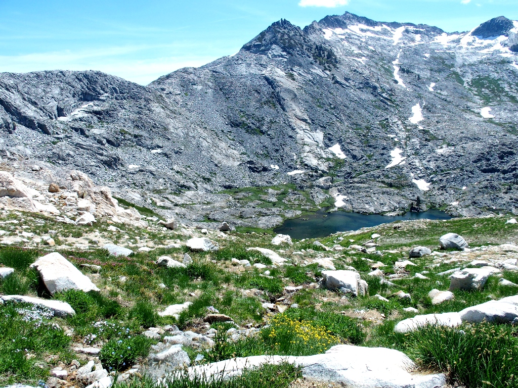
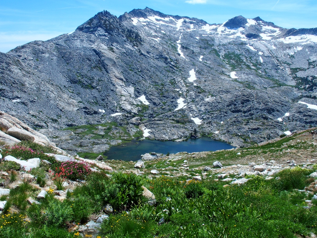
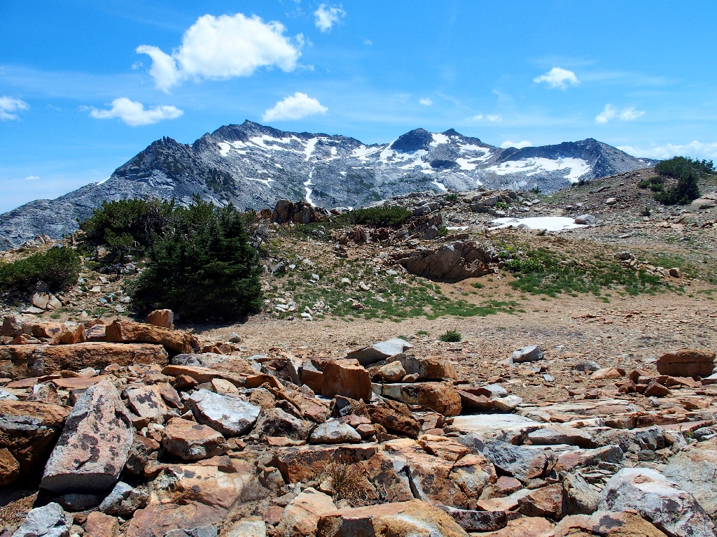
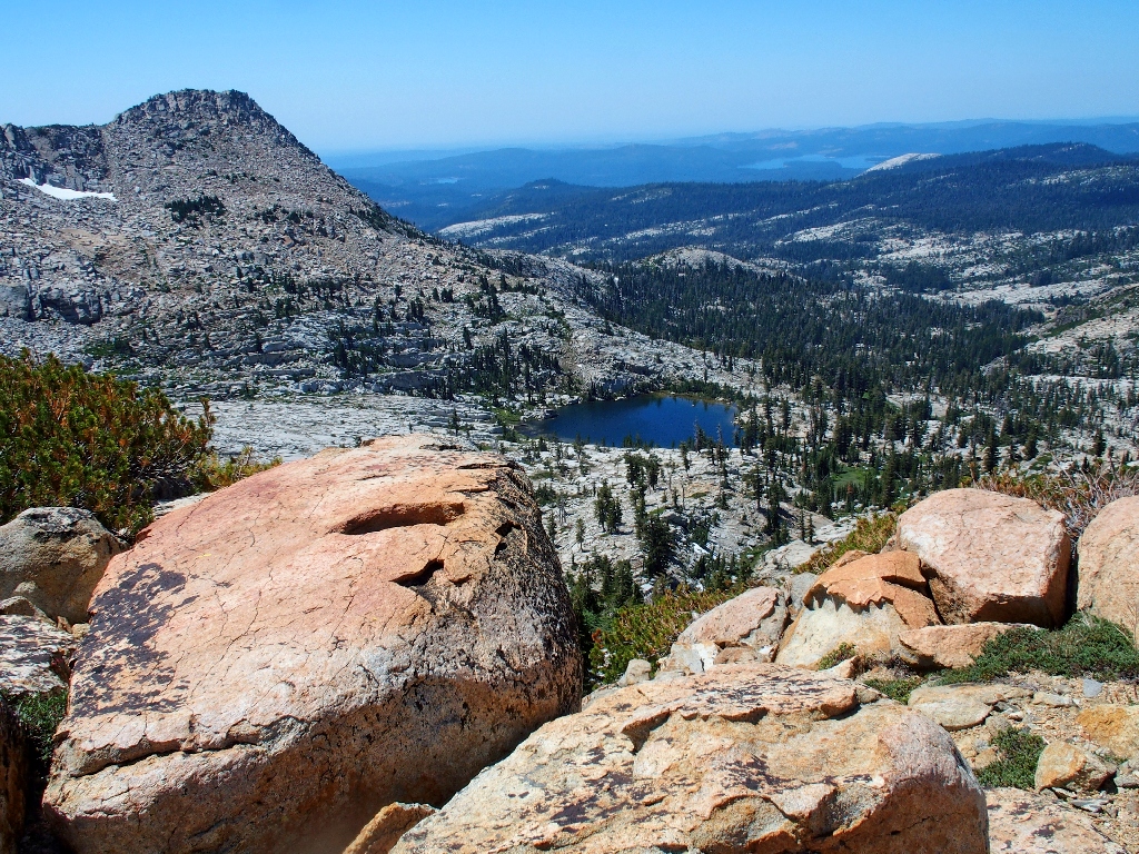
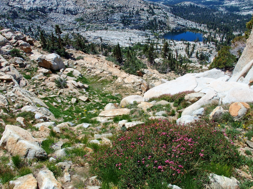
I have reached the official terminus of the trail, in what just happens to be the nicest basin in the Northern Sierra as far as I am concerned.
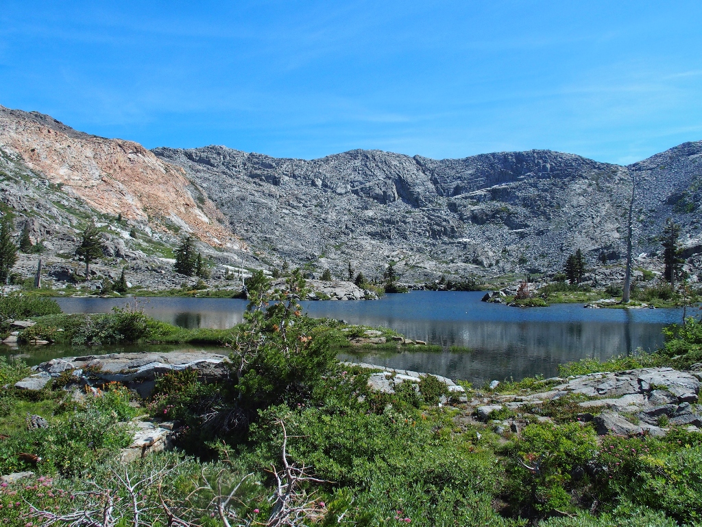
Island Lake
Angling around on the use trail that skirts the north side of the lake, I must decide upon a place to start up the steep slope.
Nothing ventured...
Almost immediately, I begin seeing great stuff that cannot be viewed from anywhere else.

The lake takes on an actual shape, and it actually hosts about a dozen islands
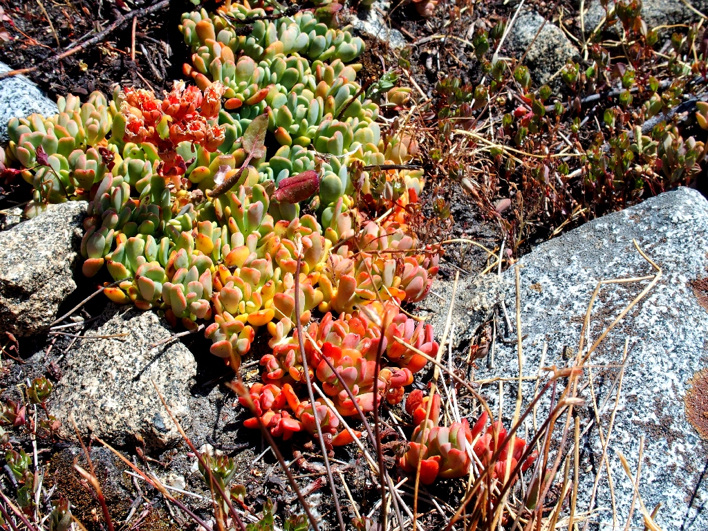
Sierra Stonecrop — another of my Special Seven
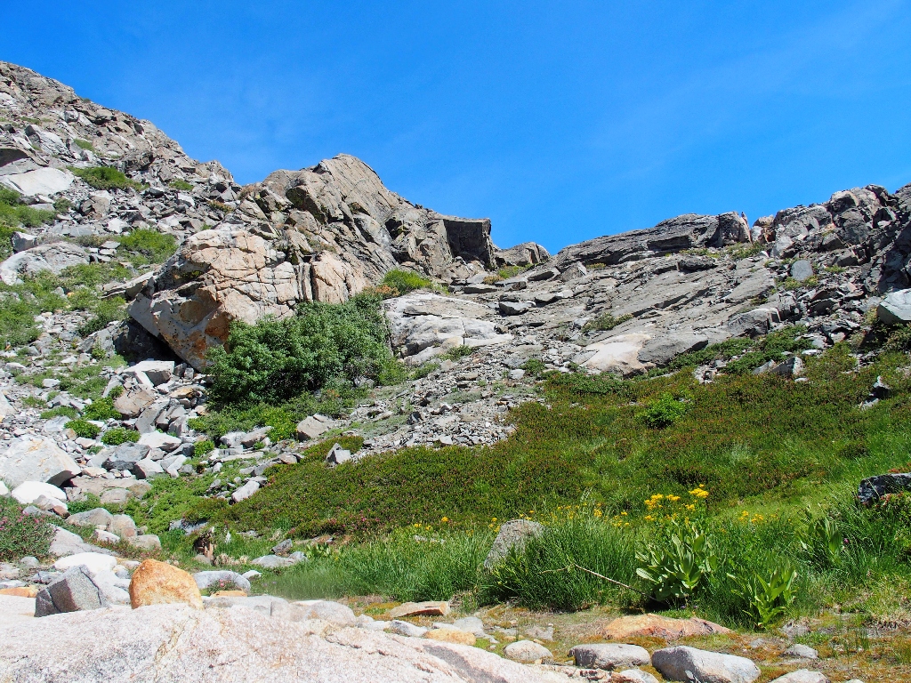
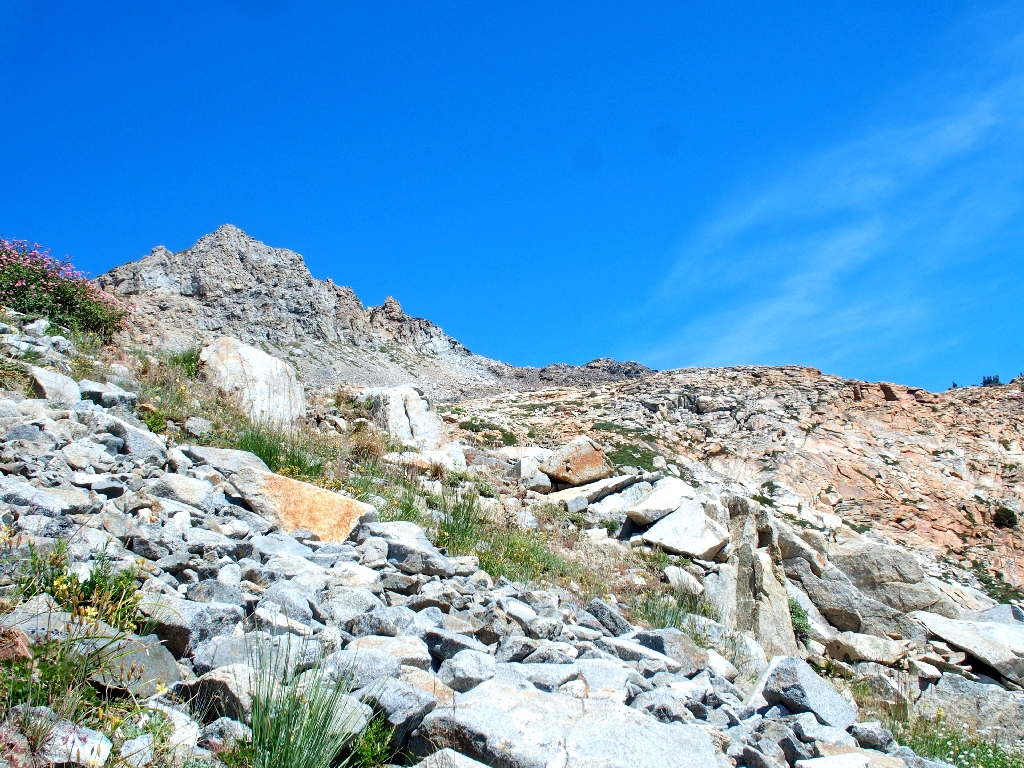
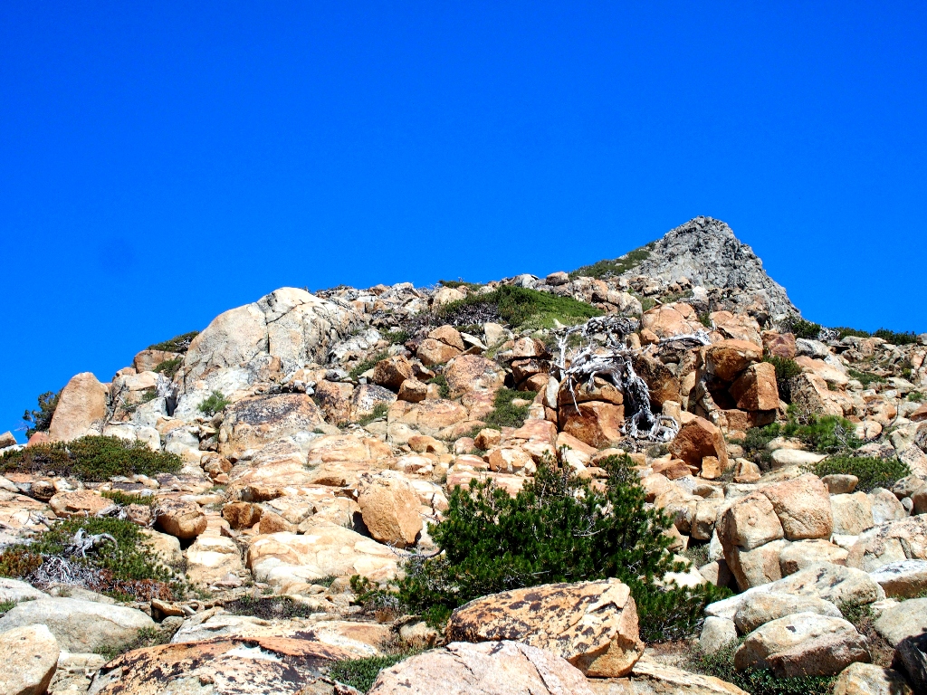
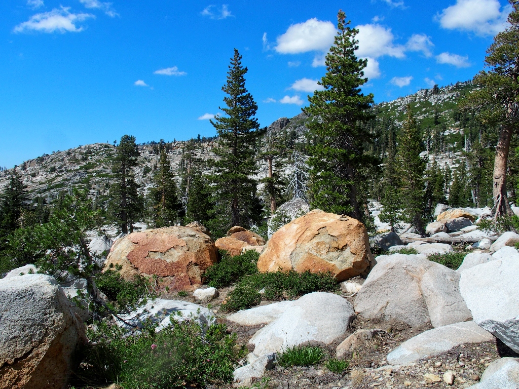
Ahead is a field of talus boulders. There is no way around it; and for all I know, it might extend all the way to the top of the ridge.
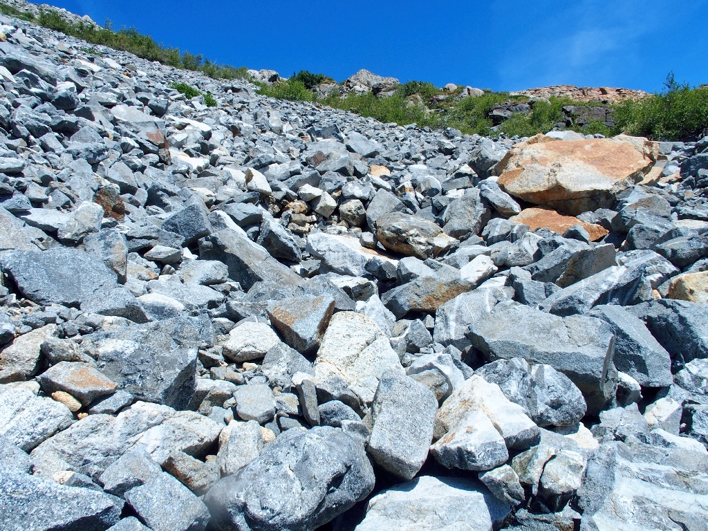
Not much fun, but I'm stuck with it now
The going is quite steep, and many rest stops are in order. These forced pauses do provide opportunities for more photographs.
The verdant southeast corner of Island Lake
Telephoto view of Silver Dagger Lake –aka– Shangri-La
I am anxious to share those environs with more friends — perhaps
next season.
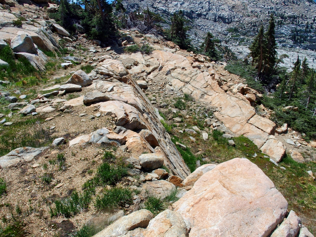
There used to be a trail over the Grey Wall
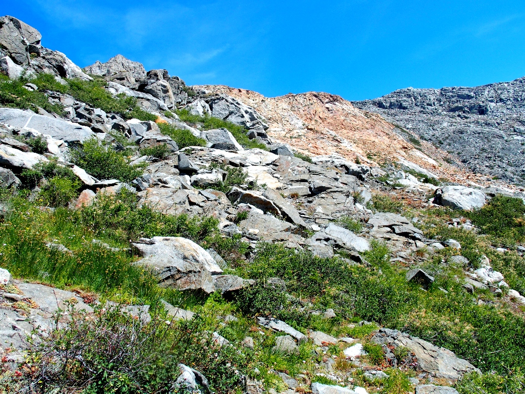
Although I still am trapped in the talus, it appears that most of the rocky going could have been avoided by following the trickle of water between here and the big orange slabs. Next time, I'll do that.
More rocks
Fewer rocks
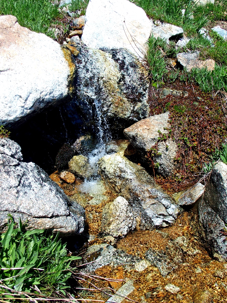
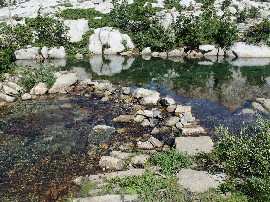
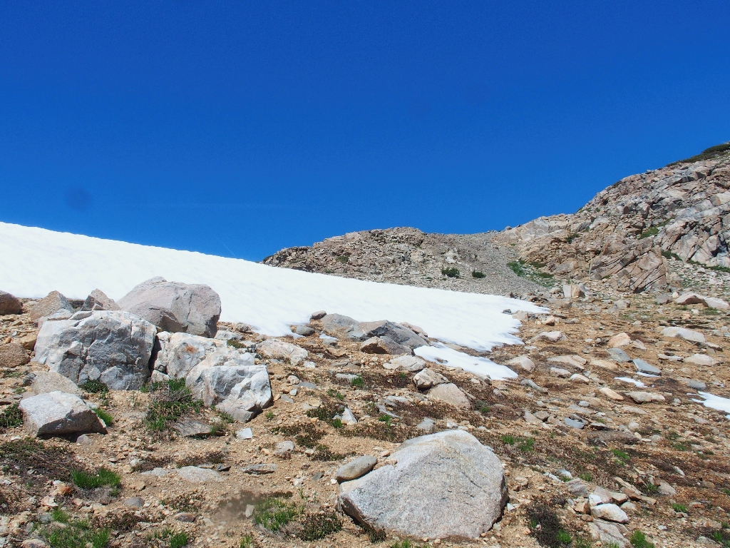
Watering hole
Filling up my water bottles here, I don't even bother to filter the stuff. Today, I'll take my chances with Mother Nature.
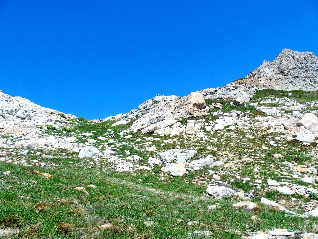
The preferred route up here is spread out below
The stream becomes the trail briefly
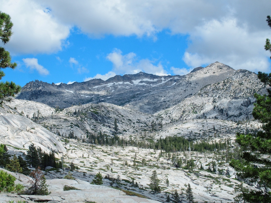
Across the way is a great view of Mount Price, 9974' — the second-highest
in Desolation.
This is why I go hiking
Just above me is the snow bank that supplied my water bottles. It seems that I finally have reached the top of the ridge.
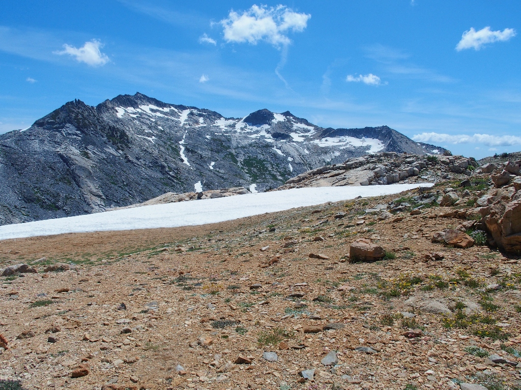
This saddle is a welcome respite from all the talus-scrambling
From here, it would be another 500 vertical feet of boulder-hopping to the
actual summit; and I am having serious second-thoughts. Despite the
potential rigors of the climb, I'm not feeling all that tired at present; yet the
prospects of another thousand feet of rocky going are daunting.
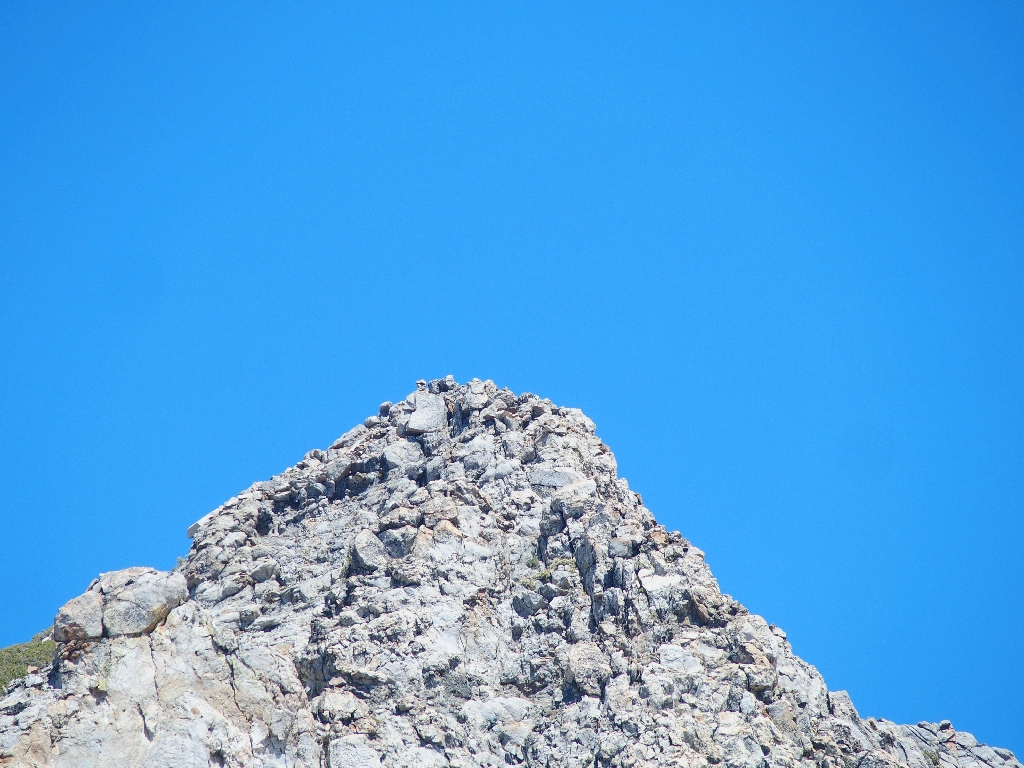
The summit is waiting
I actually climb up about fifty feet farther before finally canceling the
planned summit attempt. I'm not really a peak-bagger anyway,
although the views from the top doubtless would be marvelous.
There is great scenery down here as well
Now, I get to concentrate on getting down from here. On the map there are a couple of nearby tarns at my present elevation, so that could be a nice way to go. Getting to them, however, appears quite problematical.
Maintaining elevation here would be wasted effort
A more direct descent seems to be in order, but I'll need to find something more friendly than the edge of the cliff that I am on right now.
Tyler Lake is 600 feet below
Although it will be pretty steep going, I actually am looking forward to the challenge.
It's goodbye to the mountain
Starting down
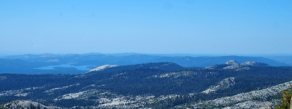
Union Valley Reservoir, Slick Rock, and Two Peaks in the distance
Natural passage
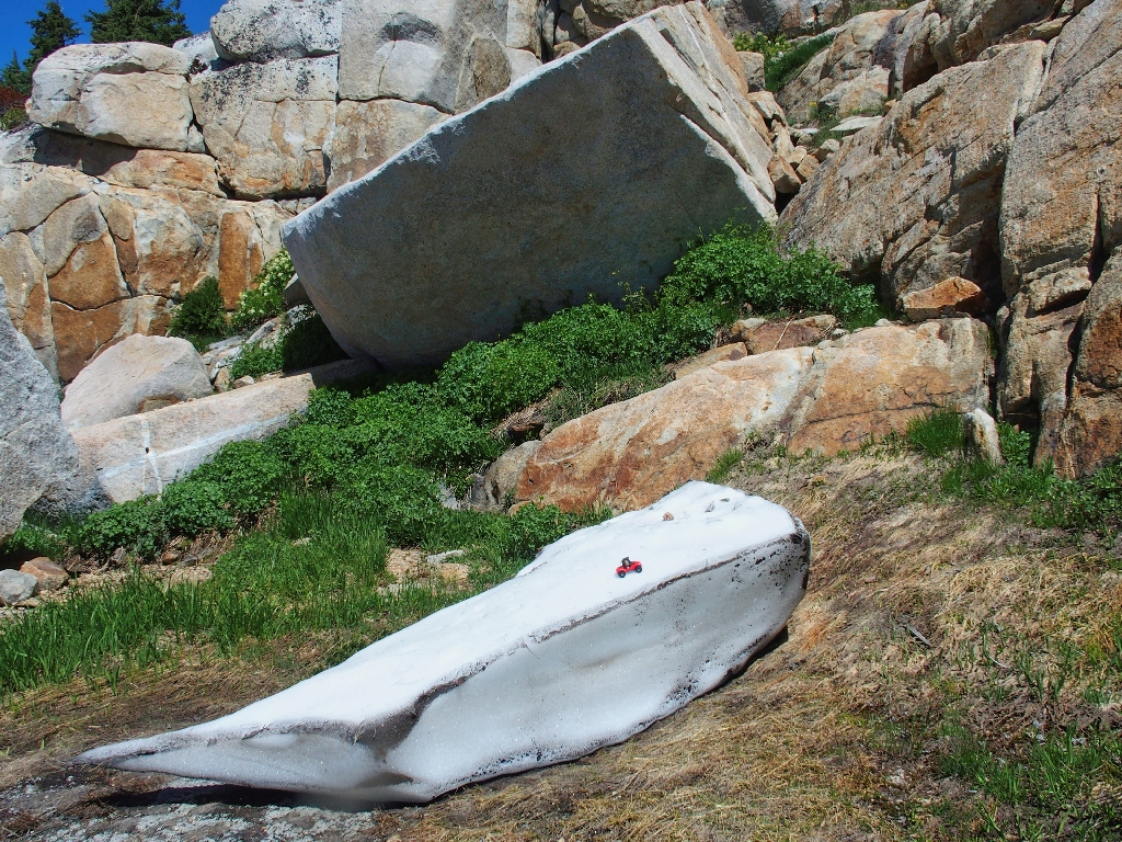
The lone snow drift is cute
Although there are as many difficult spots as easier ones, I make it down without
incident. This sort of route-finding is what I enjoy most about hiking.
I am starting to feel pretty weary, however; all of the hard work has taken its toll.
My erstwhile route
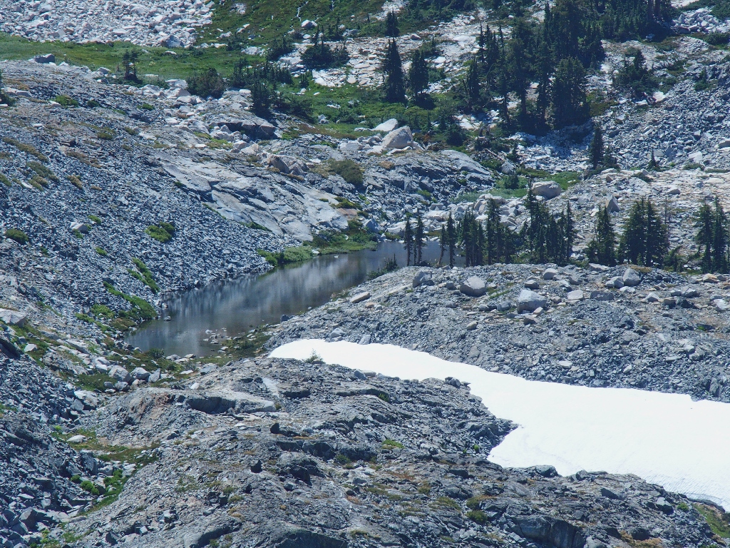
I plan to stop for quite a while at the lake. Both feet inexplicably are a bit sore, so they deserve a rest.
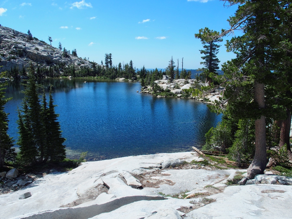
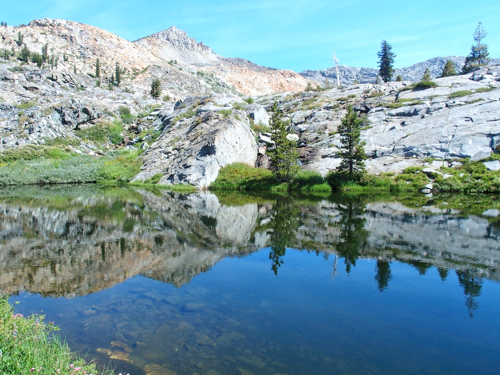
Tyler Lake
I last visited here on Hike #254, five years ago. This lake is just as beautiful as ever, and its cool waters feel mighty good on bare feet.
Lunch at lakeside
From where I sit are numerous photo-ops. I don't even have to get up.
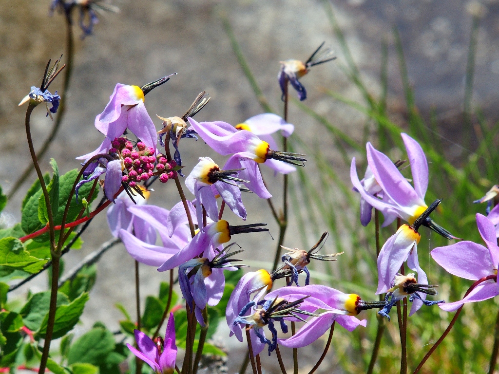
Shooting Star
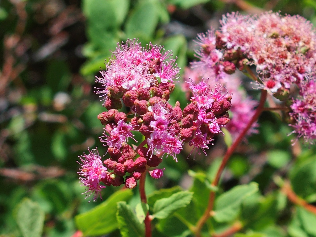
Meadow Sweet
What a life
It is time to head out, for it still is four miles to the trailhead. This break was nice, but it wasn't enough. I'm tired.
Hunting for the trail
I remember those orange rocks from my prior visit. Finally:
There it is!
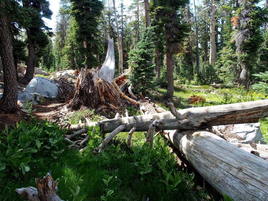
Trail obstacles
Even the chaos is pretty
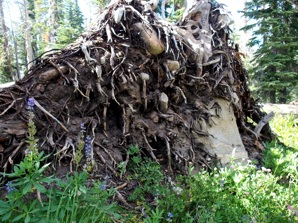
'Gone' but not forgotten
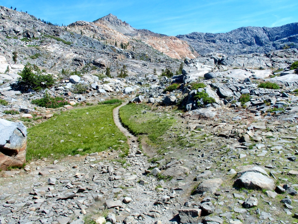
The destination still is far away
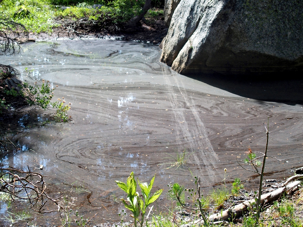
Swirls of slop
I wore these heavy boots in anticipation of the rough going; but perhaps they need to be replaced, even though they haven't been used all that much. My feet definitely should not be complaining about the insoles as they seem to be.
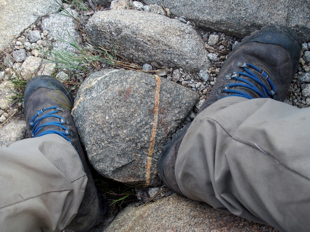
I'll miss the blue laces
There is nothing for it, however, but to keep going. A mile from Tyler
Lake, I finally encounter another human, followed shortly by a trio of trail
maintenance workers. The leader, a 68-year-old volunteer in a
spiffy uniform, fully understands the effects of advancing age. He also
is flabbergasted when informed that no one was over at Twin Lakes earlier today.
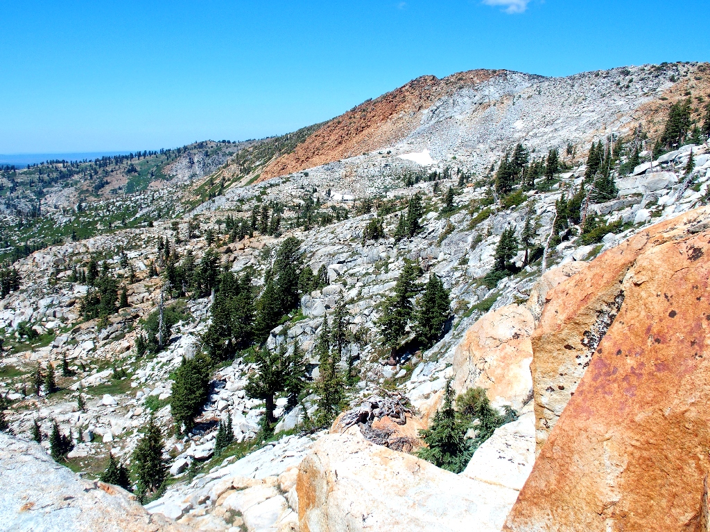
I traversed those slabs a few weeks ago
This is the section of trail that I had previously designated as a "Slope of Insanity". It features a plethora of steps as much as two feet or more in height, which I find quite enervating.
The falls at Upper Enchanted Pool
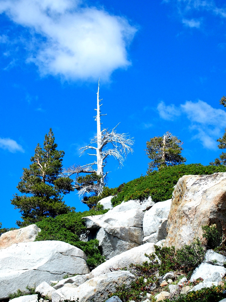
Looking back
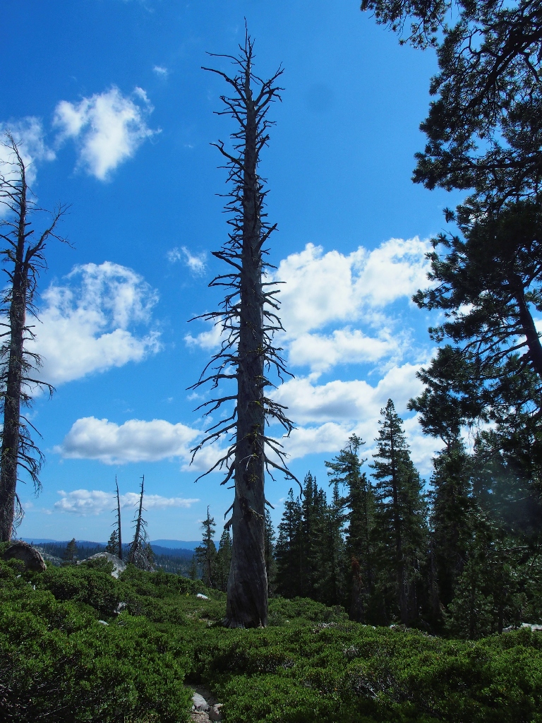
Looking ahead
Actually, it all is starting to look the same, and now I'm running low on water again. I could have filled up at Tyler Lake. Stupid.
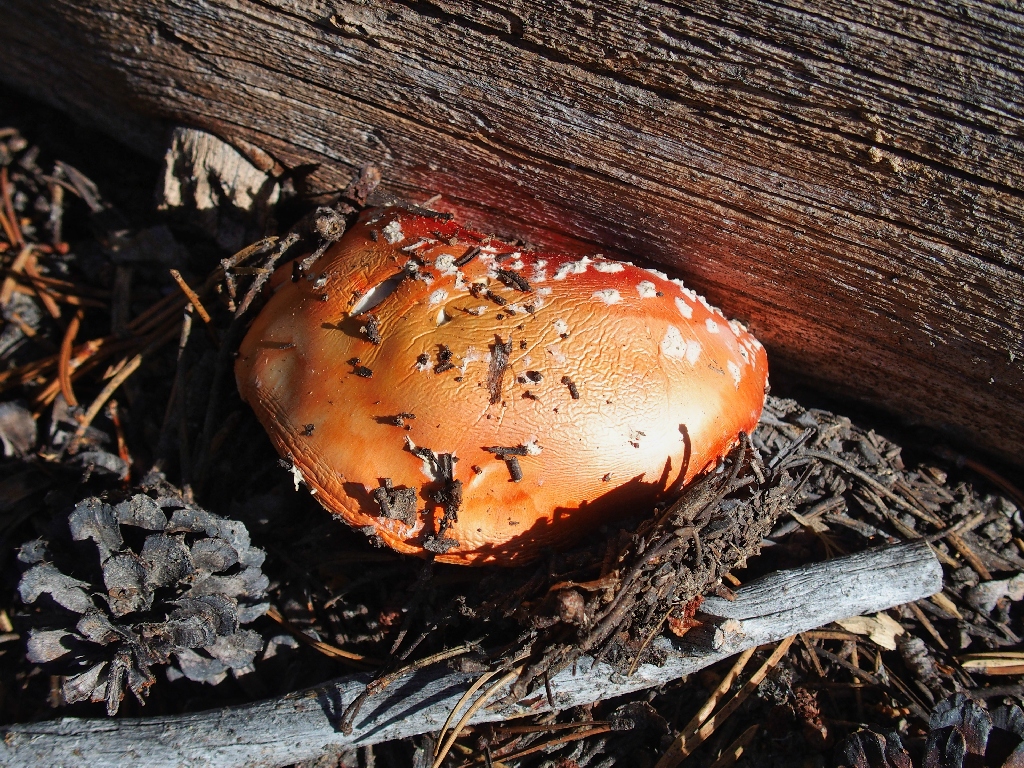
The Fly Agaric is most colorful
The last mile or so is a shady stroll beside a couple of meadows. Despite that fact, I am pausing every couple of minutes to rest. I wouldn't mind lying down for a while; but now my back is a bit sore as well, and that seems to take precedence over everything else. Walking is better than stopping right now.
I was up in there
Finally, Channel Bridge appears, indicating that my ordeal is nearly over.
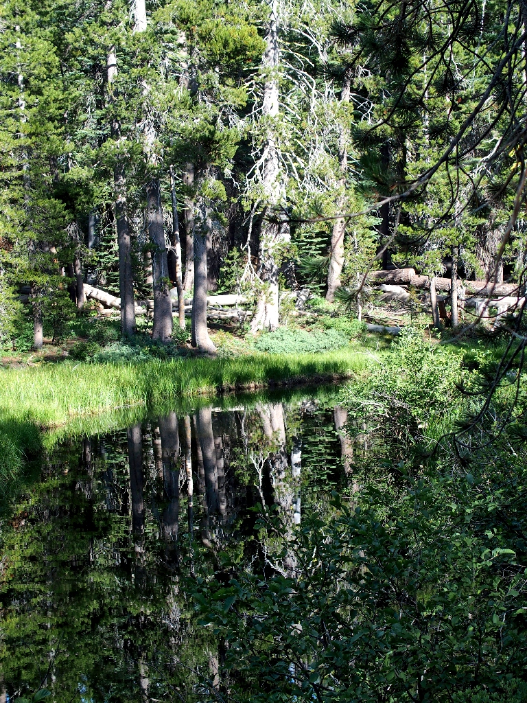
Lots of great reflections today
§: Well, perhaps I got a useful wakeup call —
the one that says, "Ted, you're getting old; it's time to acknowldge that, and
plan accordingly". Had I actually continued to the peak summit, I might still
be there. Oh, I still can handle 10-mile hikes with 2,400 feet of elevation
gain; but the 700 feet of talus-scrambling did me in, and that total would have
become 1,700 feet had I persisted. I barely made it back unaided as it was.
As mentioned, portions of the Gertrude Lake Trail remain as rough and unfriendly as
ever; and I derive no enjoyment from that route. Despite the difficulties, however,
today's trek was most exciting and interesting; and the scenery was predictably
outstanding — especially Island Lake, which is so photogenic from
above. The views of that basin alone merit a high rating, so that's what
they get today.
Should you be so inclined, I suggest that this loop be hiked in the opposite direction. Getting up to Tyler Lake, and from there to the saddle, arguably would be easier if ascended; and most of the best scenery would be in front of you after that.
| Scenery |  |
| Difficulty |  |
| Personality | |
| Adventure |  |
| Flowers |  |
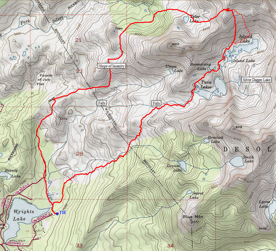
The dotted line is the recommended route
