Desolation Wilderness
|
Tyler Lake Desolation Wilderness |
August 1, 2014
I just happen to live in the virtual epicenter of the ongoing drought that plagues northern California and parts of adjacent states. In order to escape the debilitating heat, I head for the mountains; but even there the trails are mostly hot and dry this year.
Seven years ago I hiked to Gertrude Lake, but a storm sent me down the mountain before I had a chance to visit nearby Tyler Lake. I am hoping to take care of that unfinished business today.
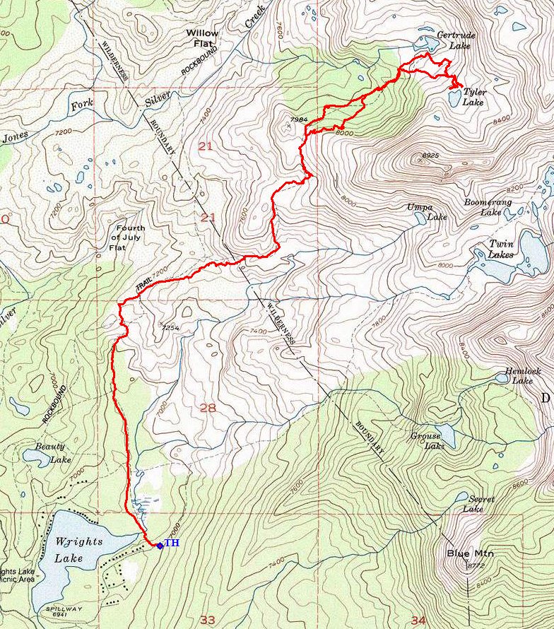
The channel behind Wrights Lake is calm as can be
After filling out the requisite permit, I cross the nice little footbridge
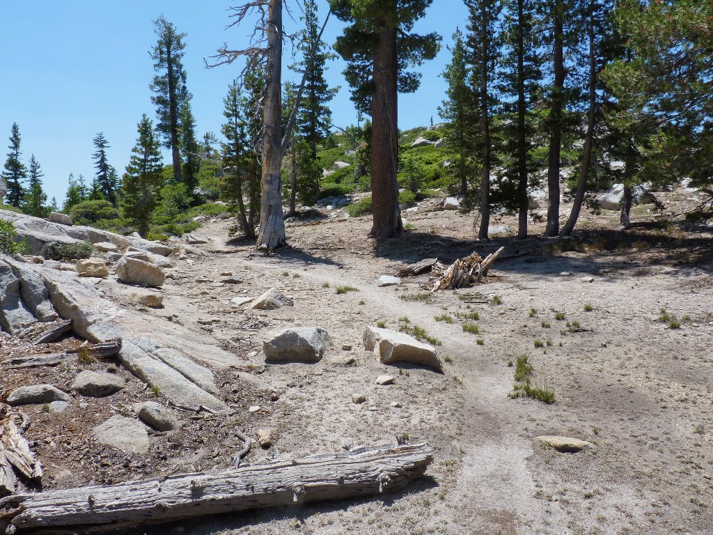
and head north. The first mile and a half is a flat stroll near a meadow;
then a little hill gets in the way, and the rough stuff starts —
lots of gruss and stairsteps to negotiate. A bit more easy walking gets
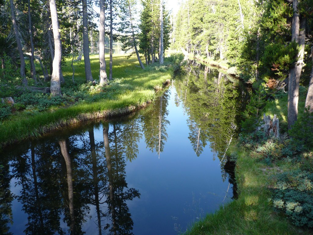
me over to a major trail junction:
Rockbound Pass to the left, Tyler Lake straight ahead
Having ascended only 300+ feet thus far, I know that the climbing must begin in earnest now.
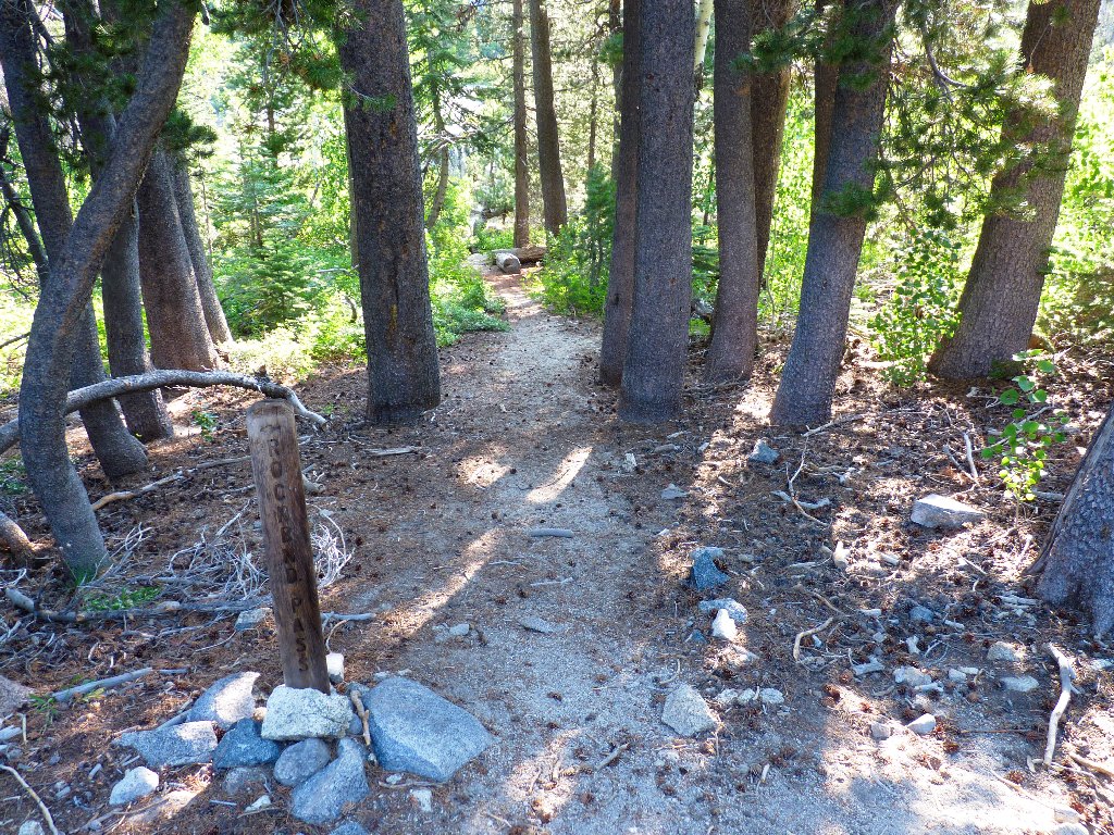
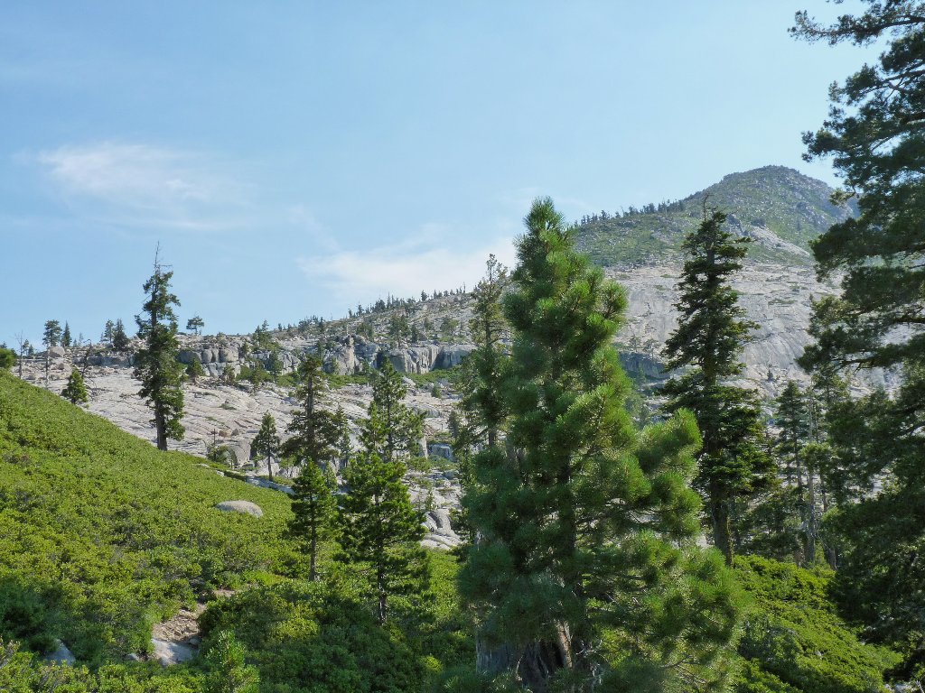
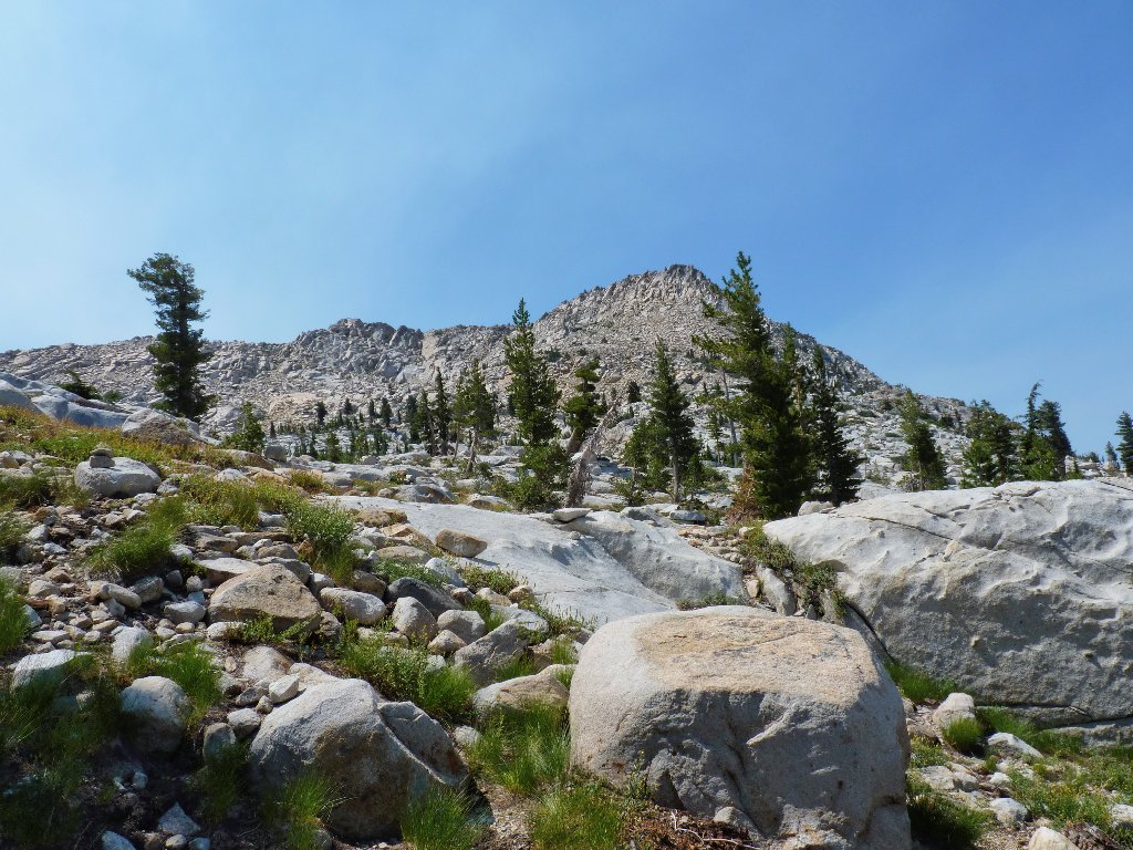
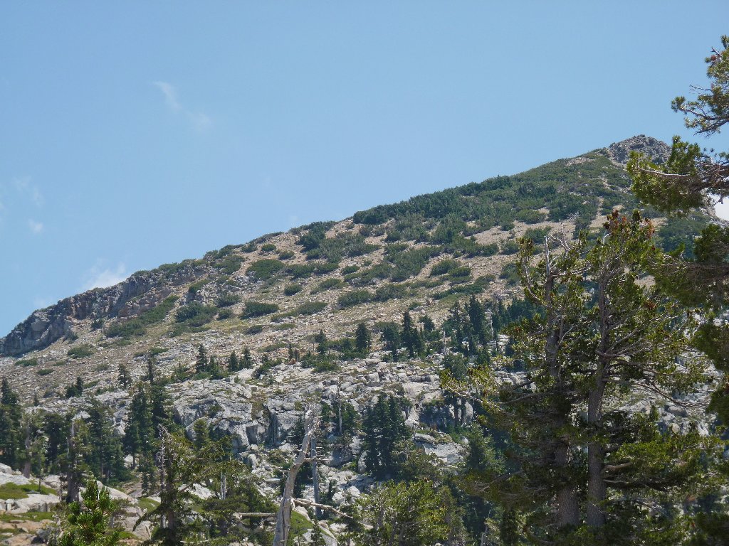
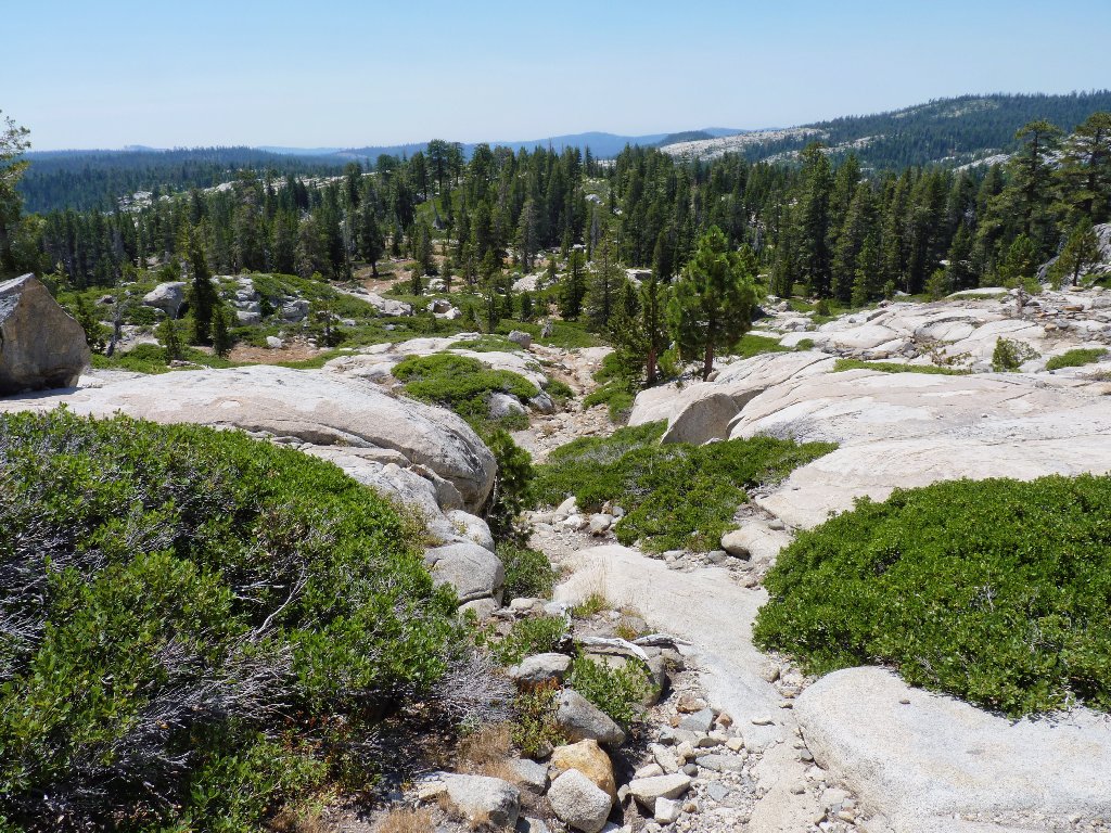
Approaching the wilderness border
Down to the right are the normally exquisite Enchanted Pools, featuring many waterfalls plunging directly into the biggest pool. The granite slab above the cliff is one of my most cherished hiking spots when the water is rushing down it; but today, South Silver Creek is virtually dry and the waterfalls are mere trickles.

The pools are not so enchanted today
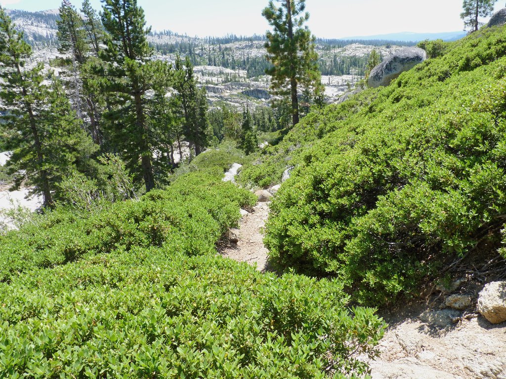
The next half-mile of trail was termed by another writer as an exercise in
insanity, and I fully agree. The trail is so steep that some of the higher
stairsteps actually require hands-on help to negotiate. This is
the most unfriendly maintained trail that I have seen in a federally managed
area. The route I had complained about over at Glen Alpine Springs is
nothing compared to this; at least I had the foresight to wear my strongest boots.
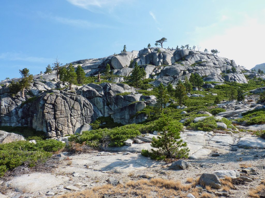
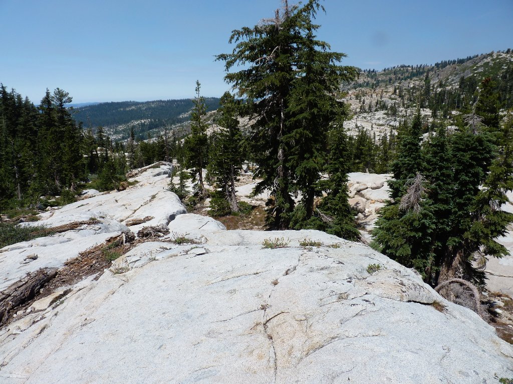
Heading for the other side of that mountain
Once atop this hill, I manage to lose track of the trail. Being unsure
as to whether it is above me or below, I simply start bushwhacking in the direction
of the nearest GPS waypoint. This results in nearly a quarter-mile
of clambering over boulders and fallen trees, which effort is tiring and arguably
dumb — but successful.
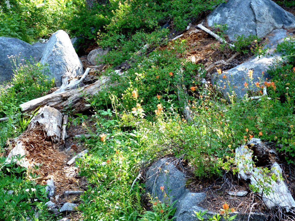
Paintbrush on the trail
Elderberries off the trail
The planned cutoff point is short of Gertrude Lake; but no route suggests itself, so I keep on going.
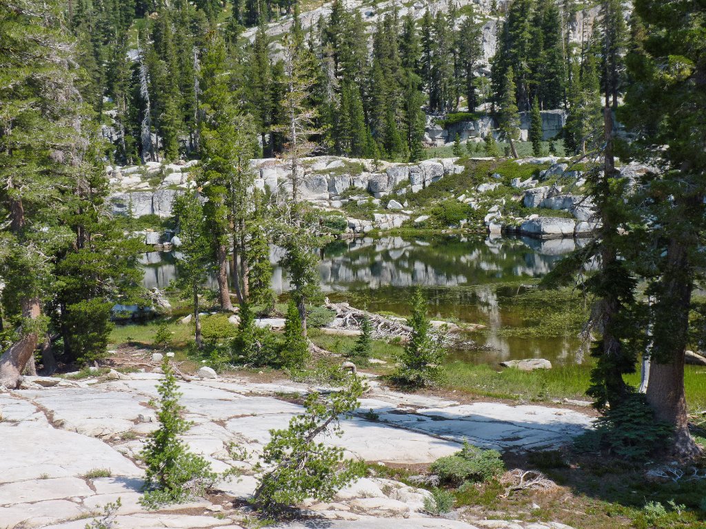
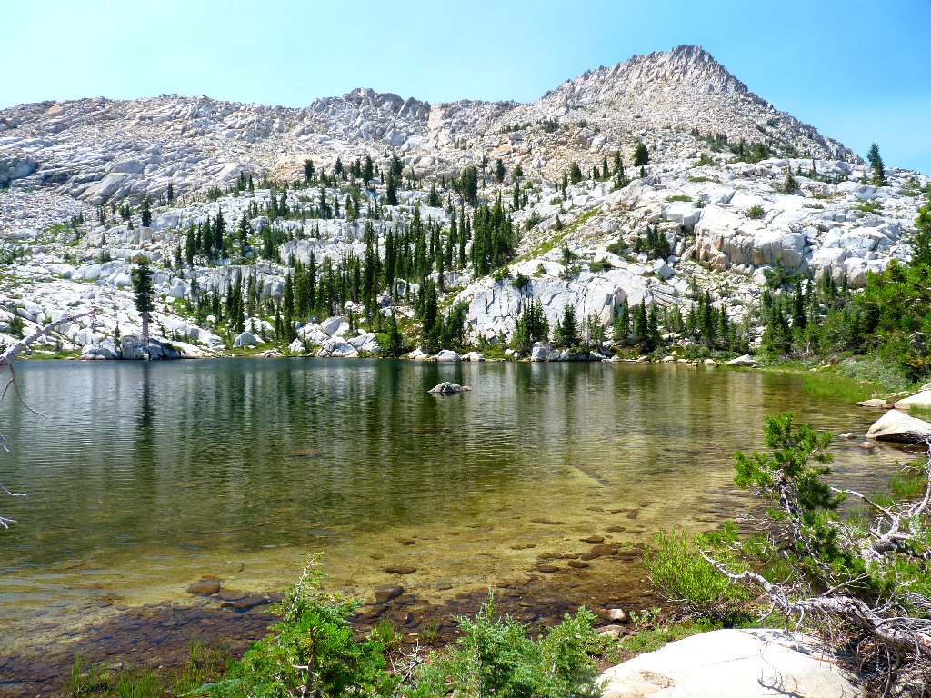
Gertrude Lake is peaceful, albeit unspectacular
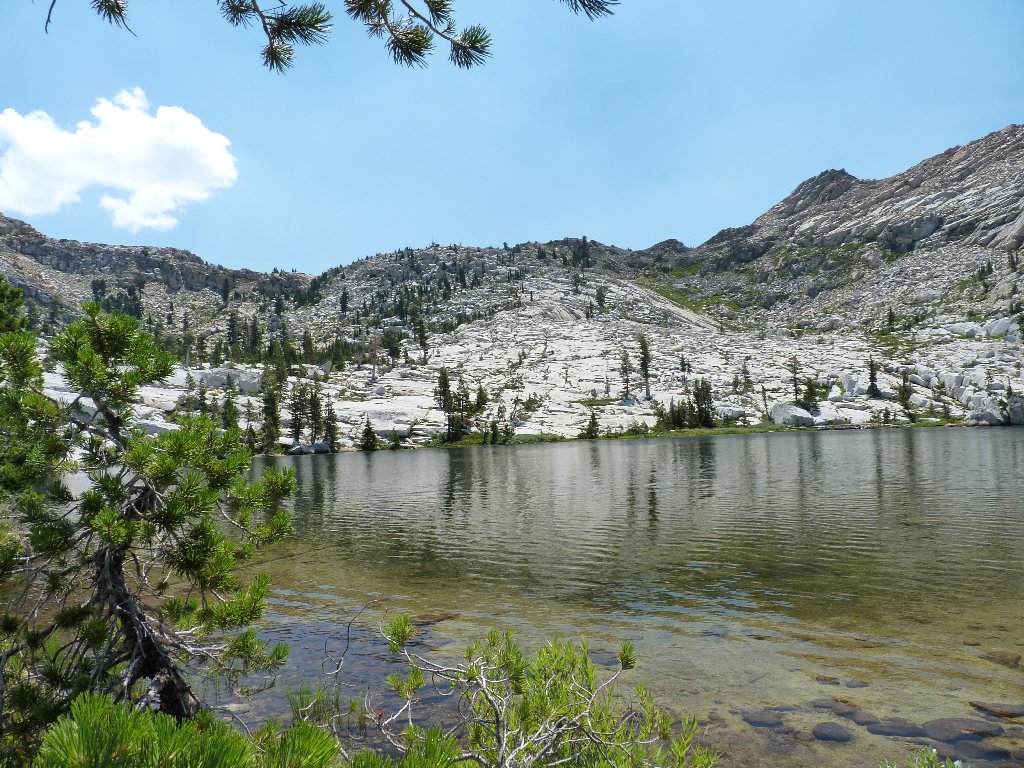
The other lake is up there somewhere
A semblance of trail heads southward, but directly toward a cliff.
The alternative is a boggy, willow-infested area; crossing that is not
the answer. I am able to traverse the base of the cliff, however,
just above the wet area. Now, what seems like the obvious route to
the top necessitates some clambering up a four-foot ledge; yet I
manage that, bad arm and all. My reward is a delightful setting:
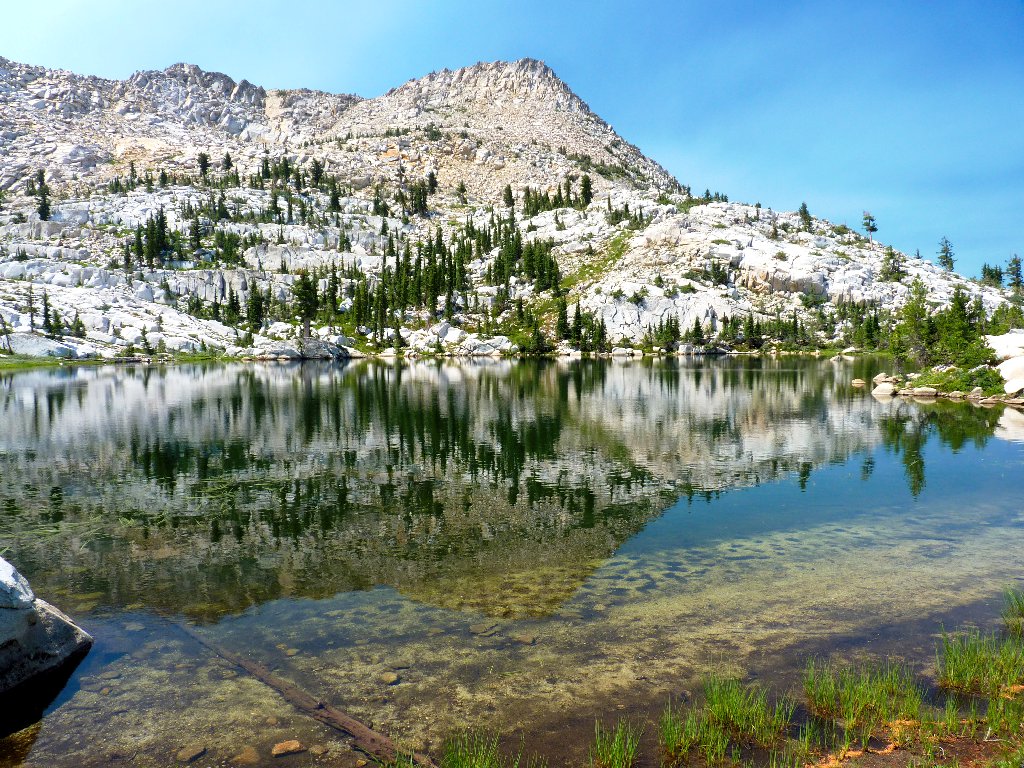
Tyler Lake has a predictably unique look and feel —
a feature of all the lakes in this basin
I am greeted at lakeside by two women awaiting their families, who are doing something difficult and adventuresome. Their group was caught in a severe thunderstorm two days ago, with big hailstones falling everywhere and lightning bolts striking near their campsite. It seems that I was right to postpone my own trip up here on that day.
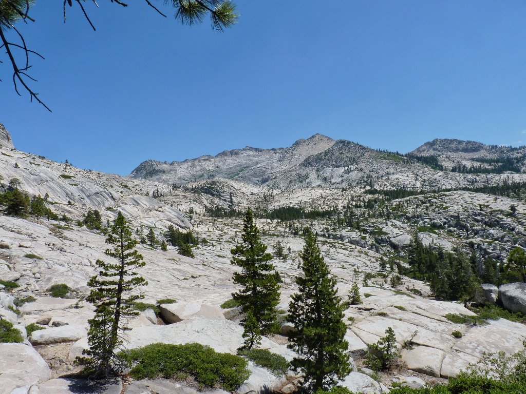
Peak 8925 to the west
Those hikers came over the pass from Island Lake, and Kudos to them
for that. I had hoped to do the same today, in the opposite direction;
but I simply am too tired to consider an additional mile of rock-hopping
plus an extra four hundred feet of climbing, both up and down.
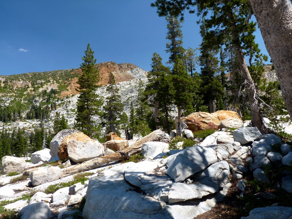
Little Pyramid Peak (9441' on the map) is just to the east as well. That summit is on my bucket list, but I certainly am not going to make it up there today.
The pass route is daunting
Little Pyramid Peak is another 1,200 feet up
The two women had suggested that the water is suitable for swimming, and it is. Normally I would not pass up such an opportunity; but I seem to be off my feed in more ways than one. After filling my water bottles from the lake, I look for an easy way back.
This looks easy enough
Heading down the slabs to the northwest, on the other side of the swampy area this time, proves much easier than the route up. I regain the main trail within ten minutes.
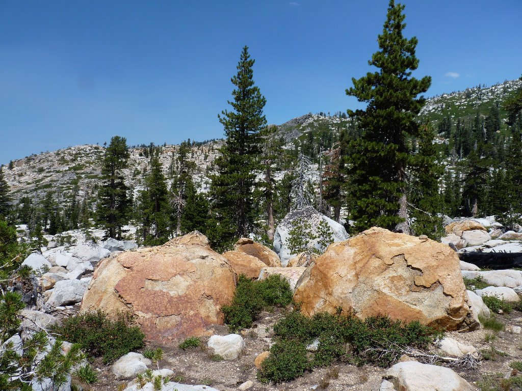
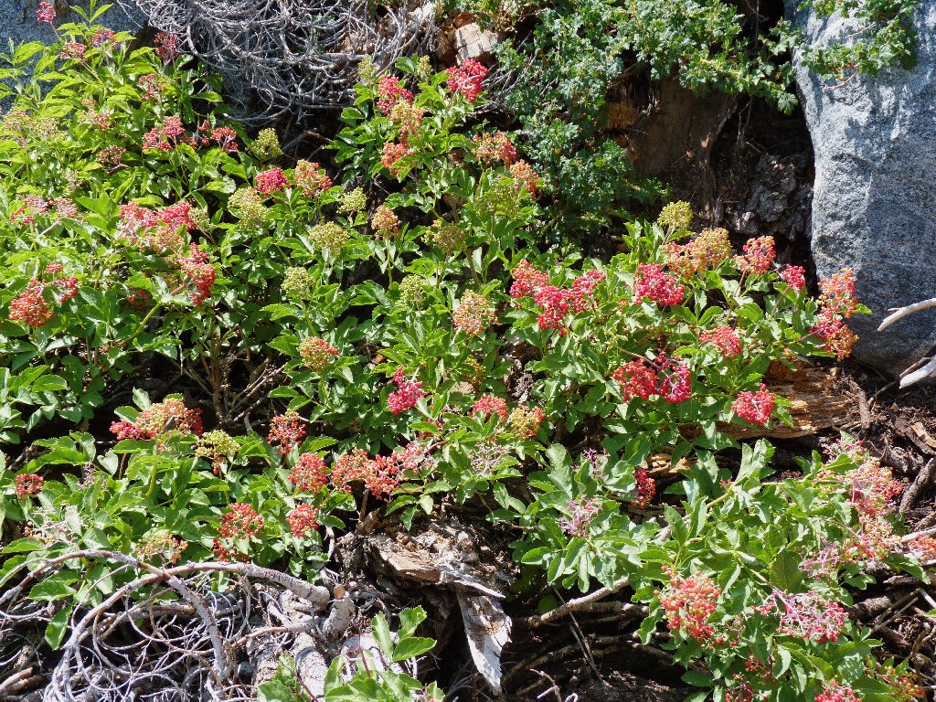
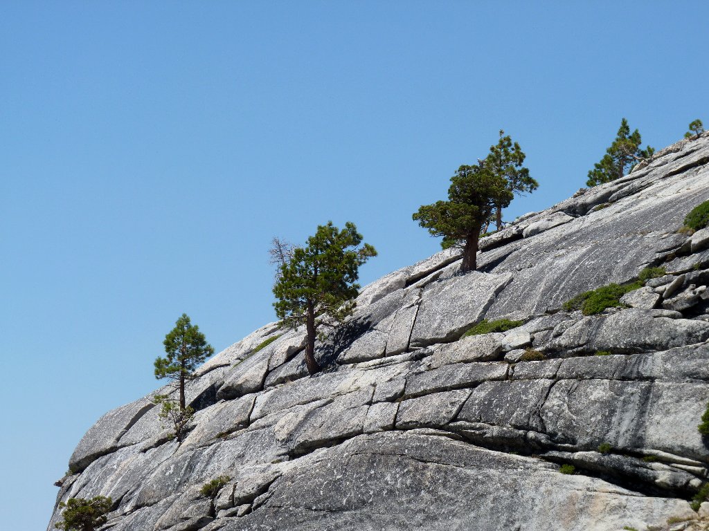
These big orange guys are not visible from the trail
The next quarter of a mile is the section that was bypassed earlier during my 'shortcut'.
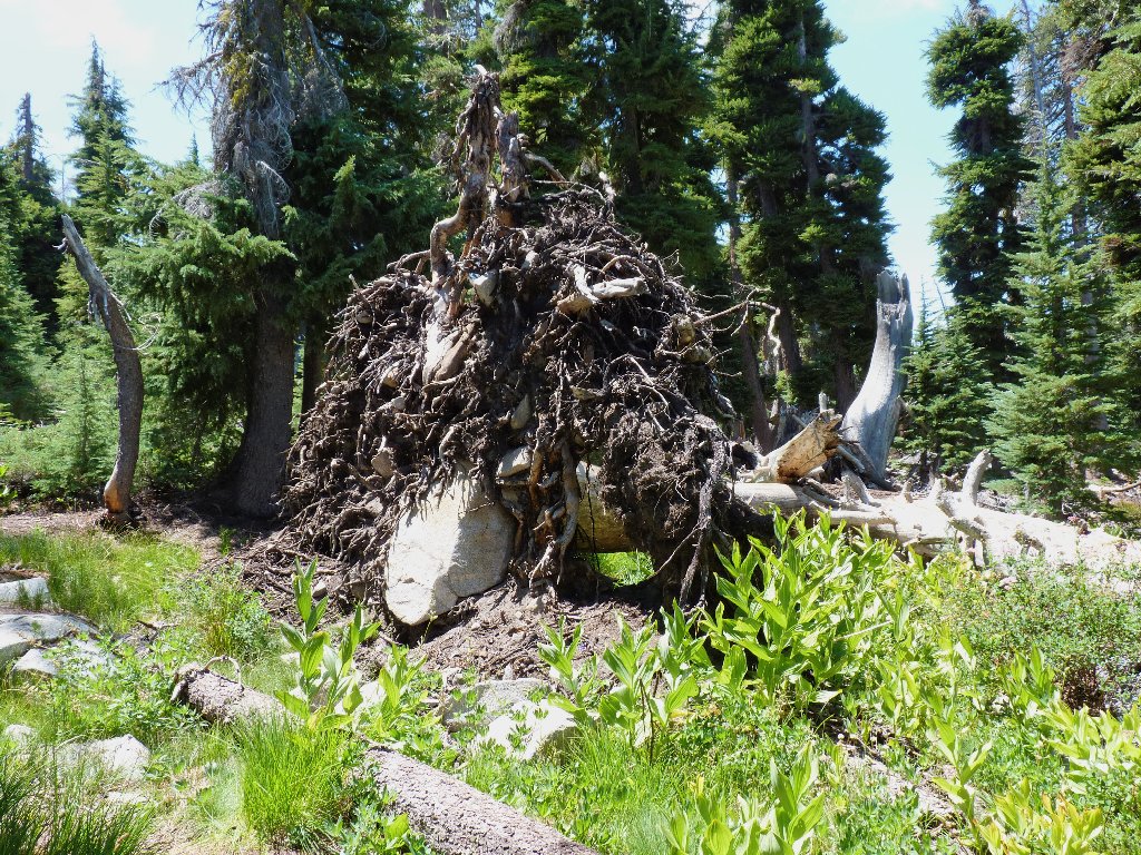
Tree root plus boulder
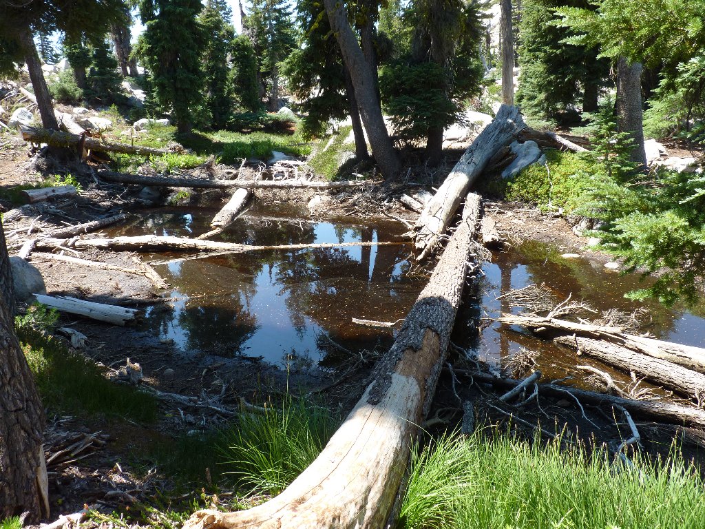
Random pond
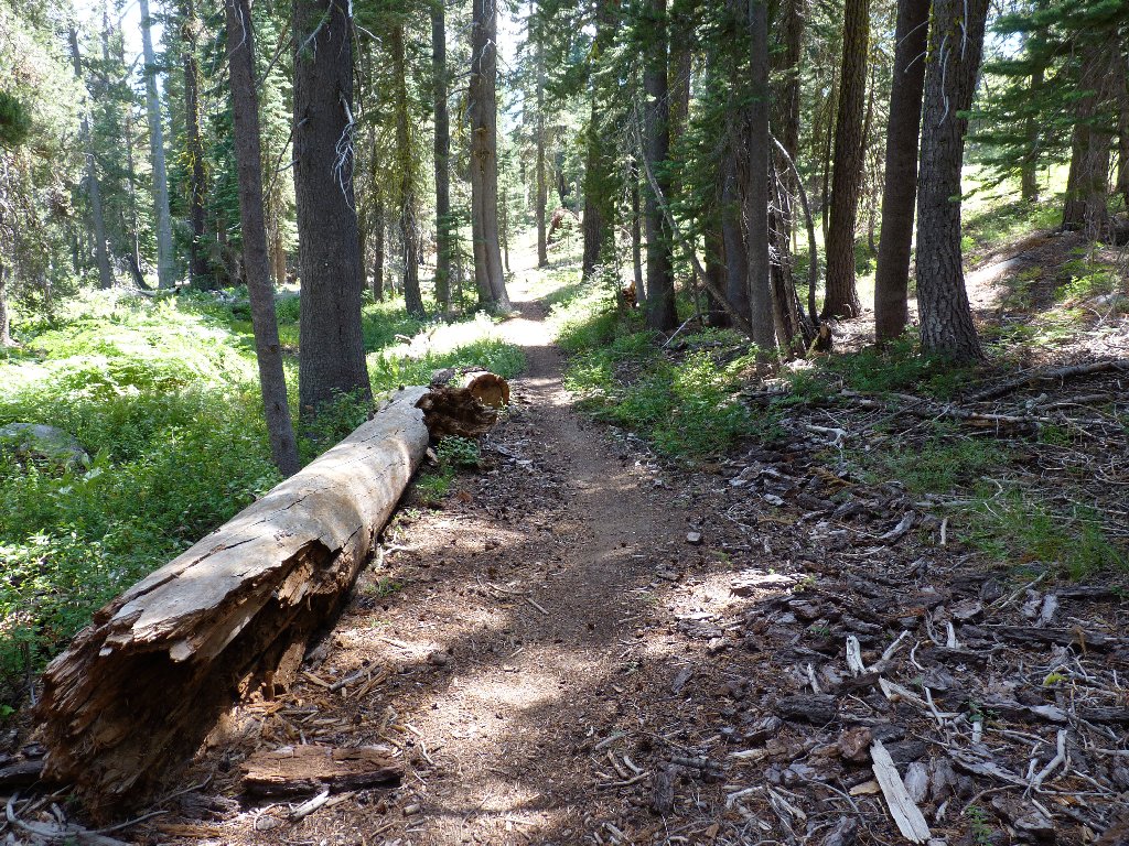
A fallen tree too big to climb over is blocking the path. Other nearby
logs have been cut, suggesting that this is the best way; but I don't see it,
so I clamber around to the right. Only then do I observe that there is a
reasonable crawl-space underneath the tree fifty feet to the left.
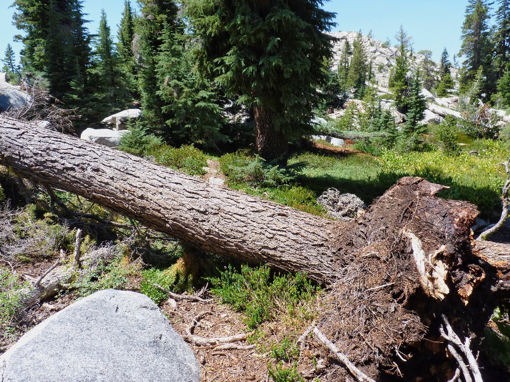
They really should cut this obstacle as well
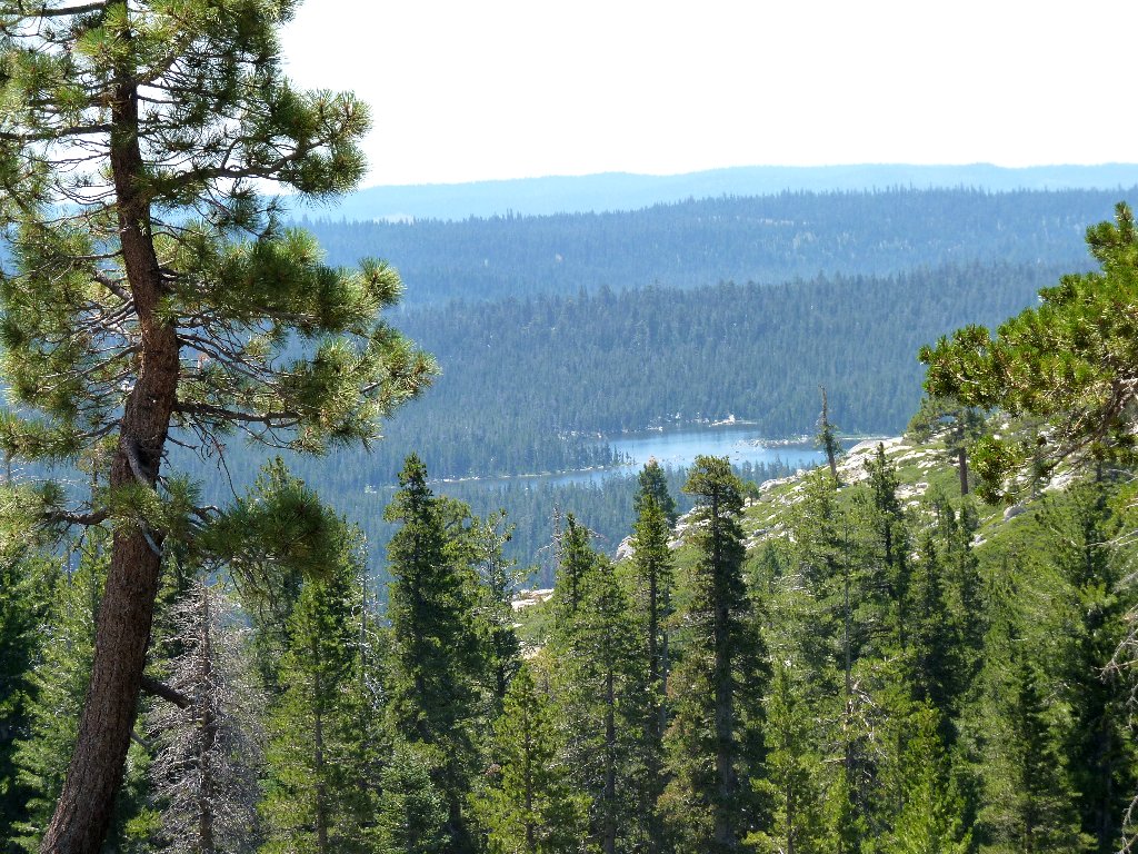
Wrights Lake seems so far away
As I start down the really steep section, I see that all the clouds have dissipated; it appears that I will not need the new poncho that I had so carefully packed for this occasion.
Clear and hot is the forecast for Mount Price
I sure wish that I had thought to pack my knee braces, though. As always, going down is more difficult than going up.
Hanging on for dear life
The roughness never abates
Finally I am back at the big junction. A pair of male backpackers is heading for Rockbound Pass; I wish them well, although I don't envy them the relatively boring trip. Immediately, three female equestrians arrive from that direction. Upon learning that I have been to Tyler Lake, one of them proclaims that they are not allowed to take their horses up there. I assure them that they would not want to do so, either.
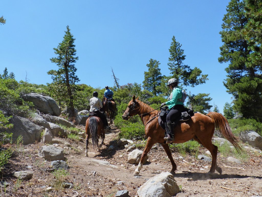
Now I get to follow smelly horses back
After a final lengthy, enervating trail segment, I am back near the meadow. Even though the remainder is level going, I am so worn out that several short rest stops are in order.
Easy going
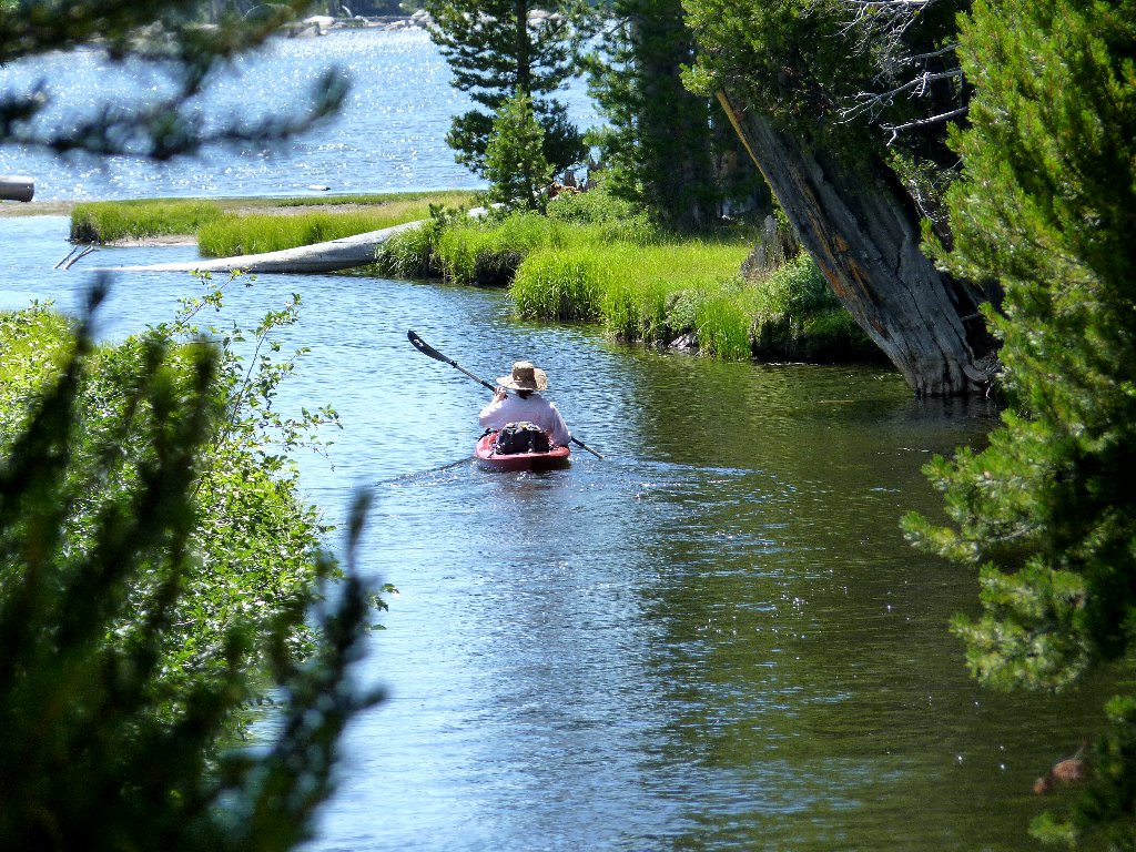
At the end, I barely have time to grab a shot of a woman heading down the mellow
channel in a kayak. Exhausted, I make it the final hundred yards to the parking
lot, where the air temperature has climbed to 80 degrees.
A cabin resident, no doubt
§: Seven years ago, I rated this hike a 7; but there is no way that
I would be so generous today. Perhaps it's a factor of advancing age;
or maybe it's due to the heat, lack or running water, and the fact that there
were no nice butterflies to photograph. In any case, the serene beauty of
Tyler Lake was more than offset by the rigors of the nastiest trail this side
of Patagonia. Although Wrights Lake remains my favorite local trailhead,
it is quite possible that I will not again venture up the Slope of Insanity.
| Scenery |  |
| Difficulty |  |
| Personality |  |
| Adventure | |
| Solitude |  |