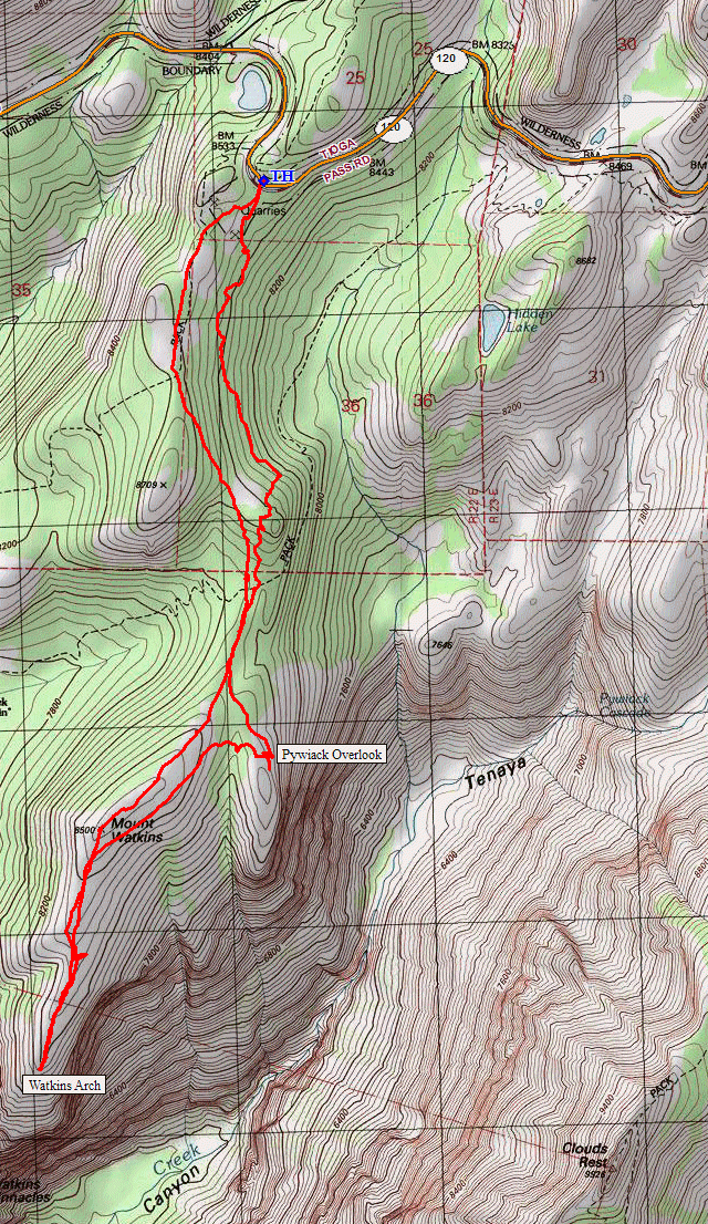
Yosemite National Park
|
Mount Watkins Yosemite National Park |
August 7, 2019
Feeling the need to 'take it easy' in deference to tomorrow's planned assault on the Tuolumne River, I will check out a researched shortcut to a previously visited attraction.
The trail leads down past Snow Creek Falls to Mirror Lake
According to my topo map, I can save some climbing and perhaps a bit of distance by heading directly south from here; so that's the plan.
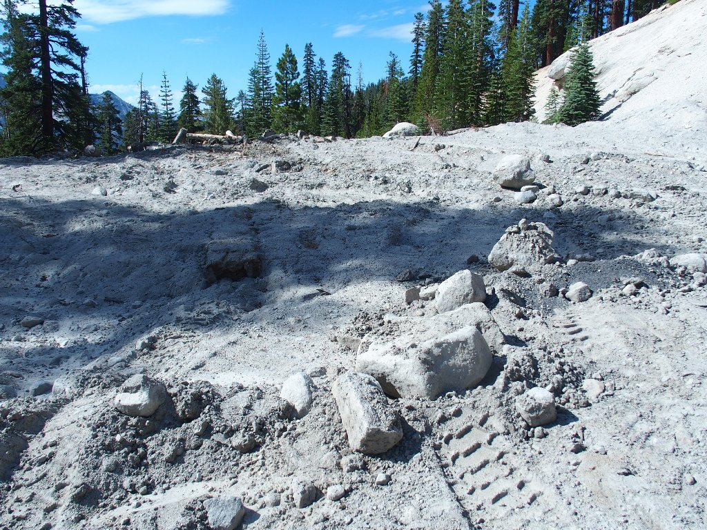
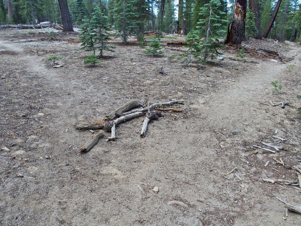
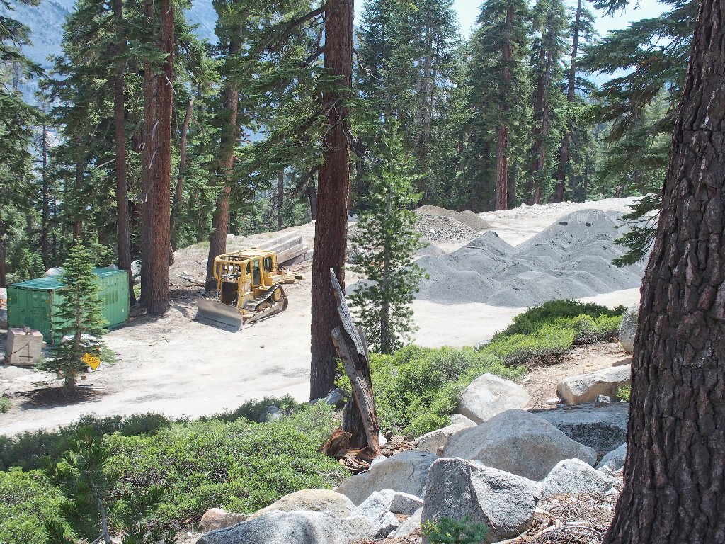
There's an old quarry nearby
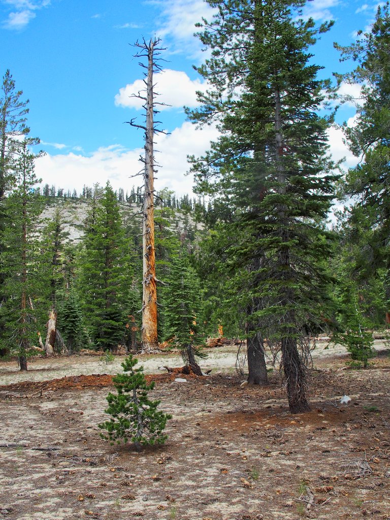
Well, this ugly section doesn't last long; and soon I am in the pleasant forest.
A trail comes this way from Olmsted Point, well below me at the base of a long cliff. The plan is to angle gently down and meet that trail without having to descend any farther than is necessary. Unfortunately, the path of least resistance is downward, which I am pretty sure will not work out because of the cliff.
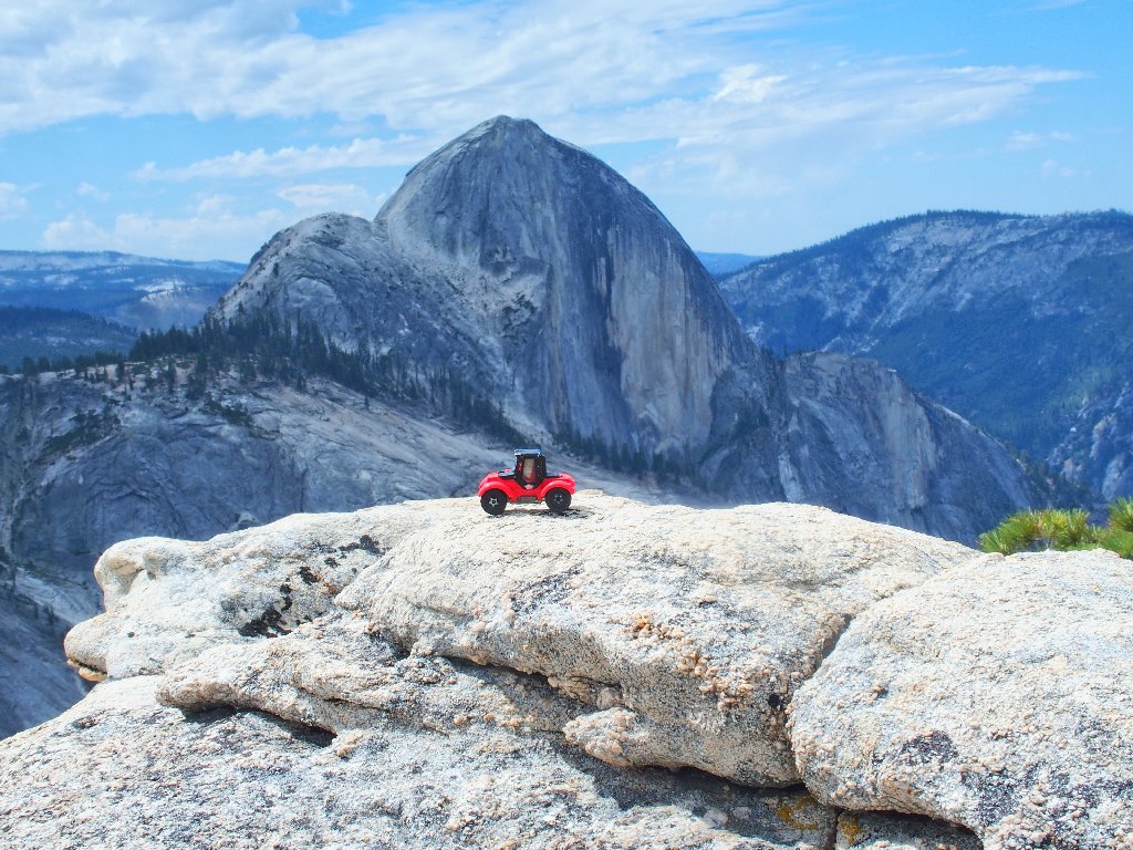
Where possibly no one has gone before, or would want to
Approaching a big boulder pile, I decide to climb steeply around it to the right. At a little saddle, it now is an easy walk down to a big flat area, where the main trail awaits me.
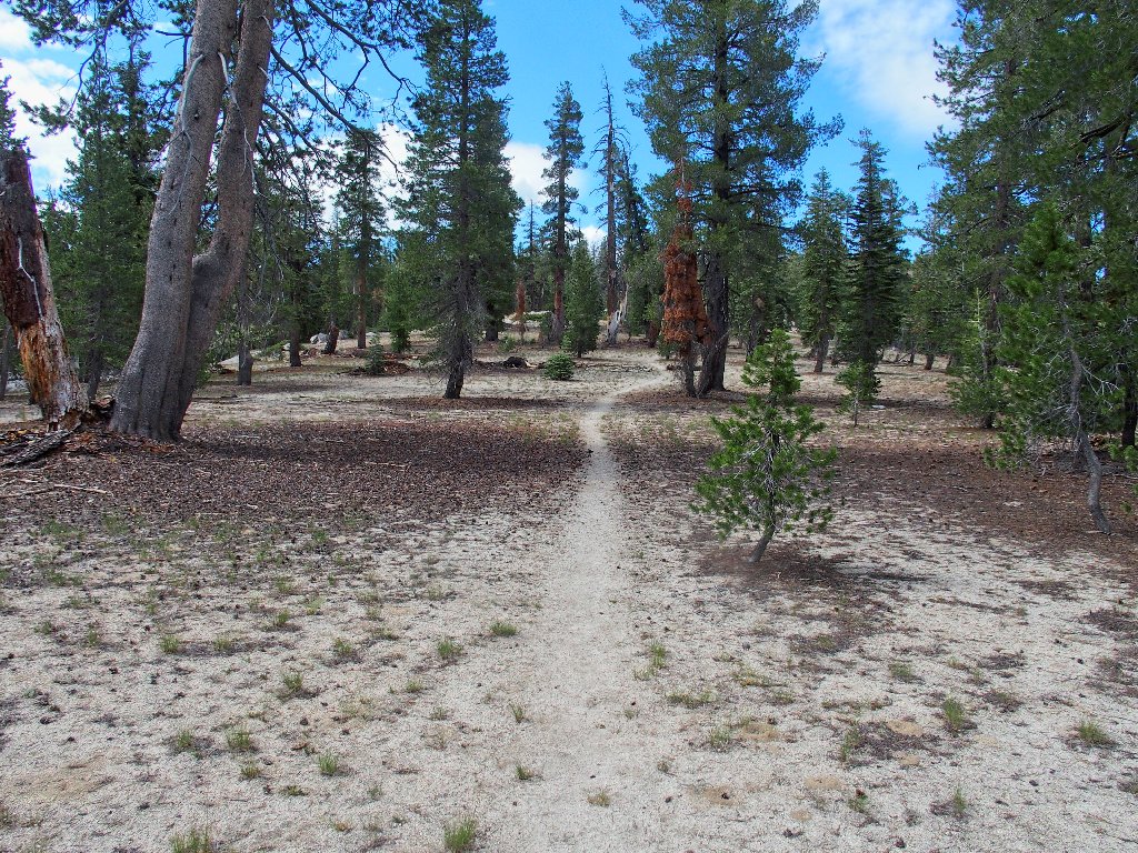
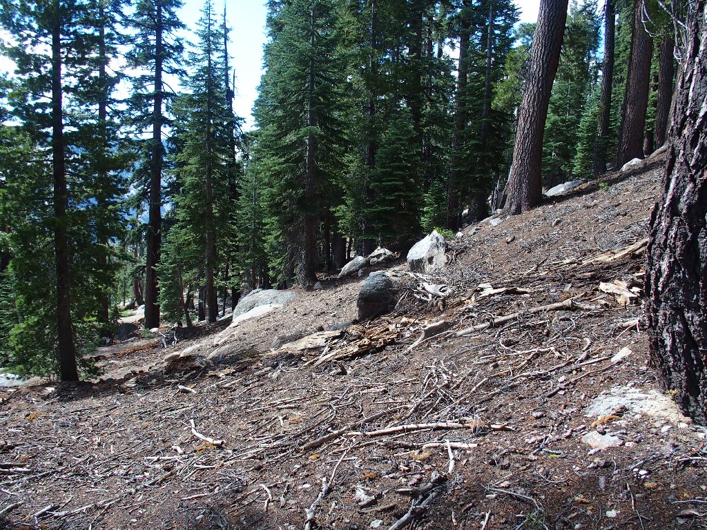
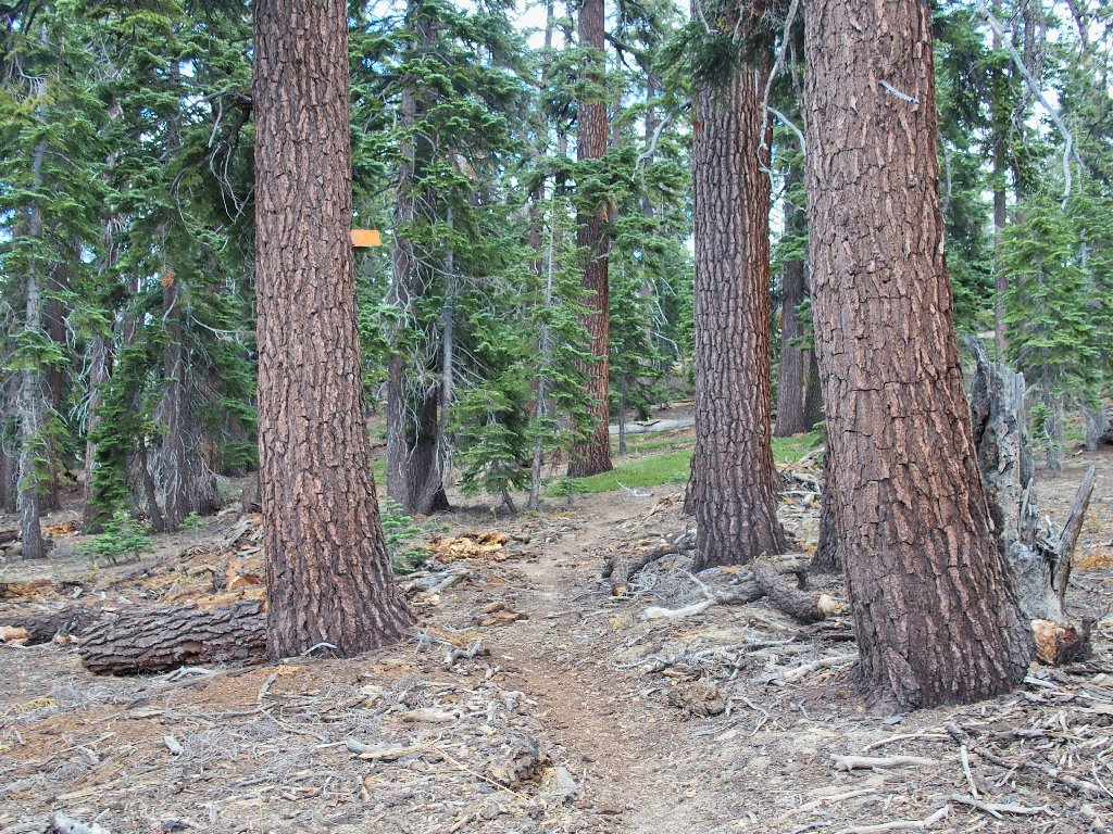
It's mellow going now
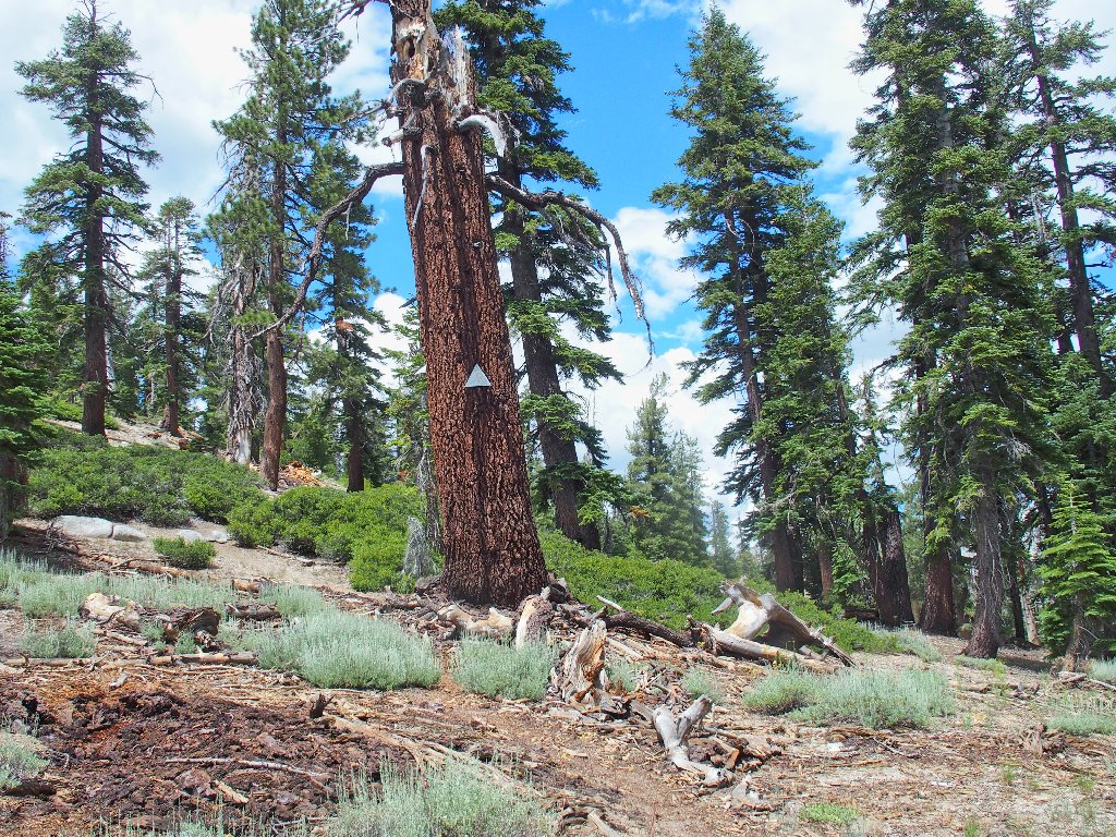
Well, that shortcut wasn't so bad, although I don't know that it did much good
either. From here, a very gentle 250-foot elevation gain begets the summit;
in fact, it doesn't feel like a mountain at all from this side.
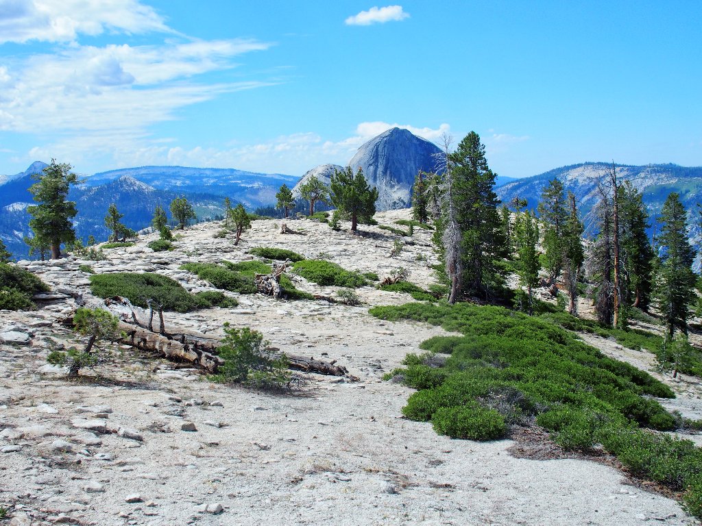
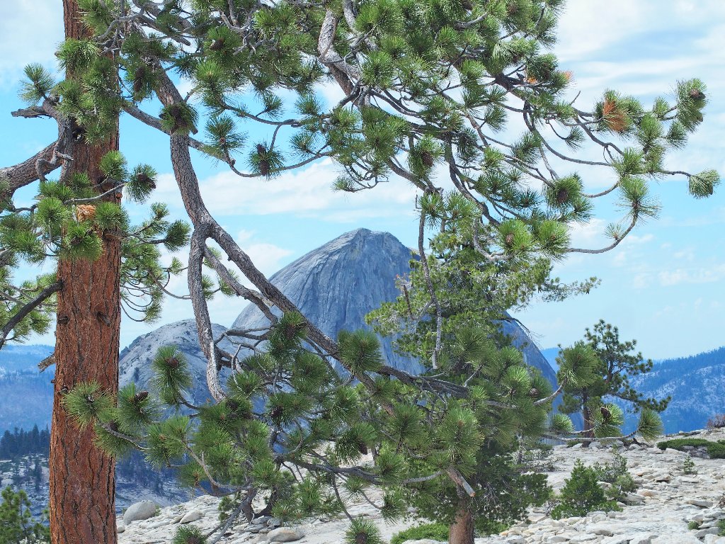
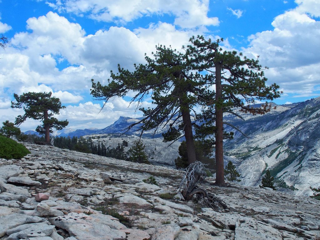
Hello! Scenic vista ahead
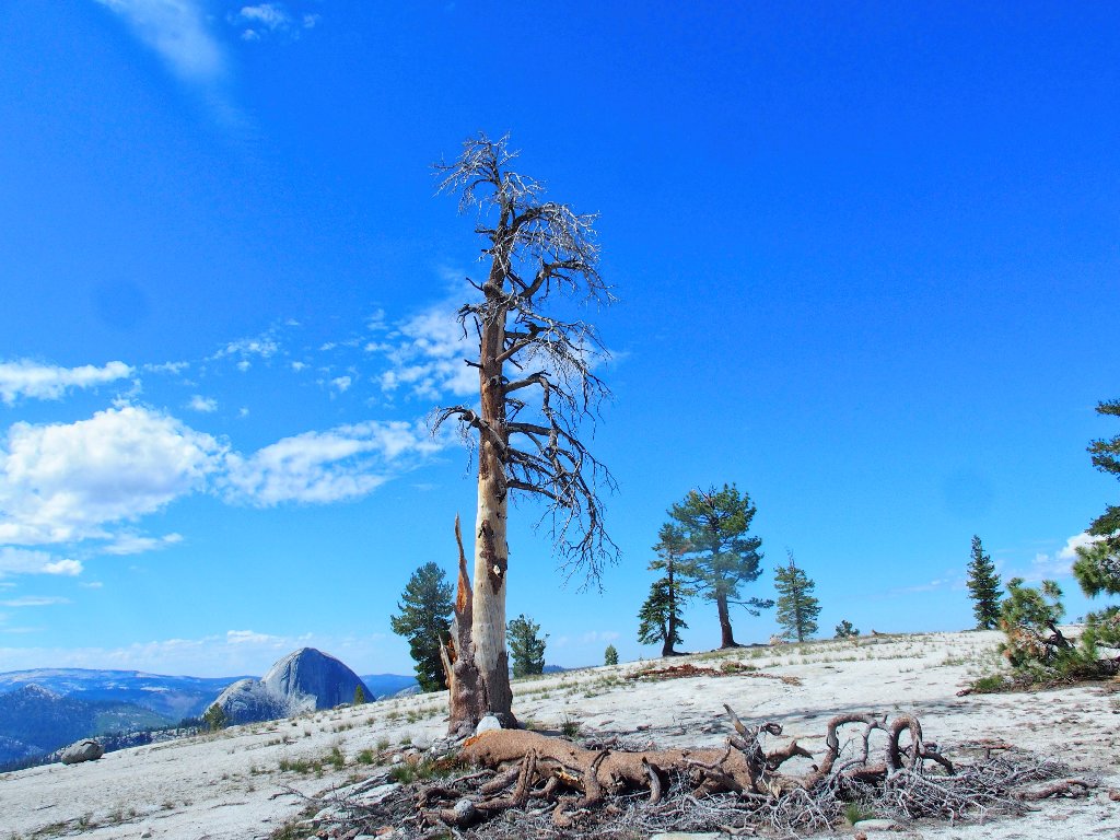
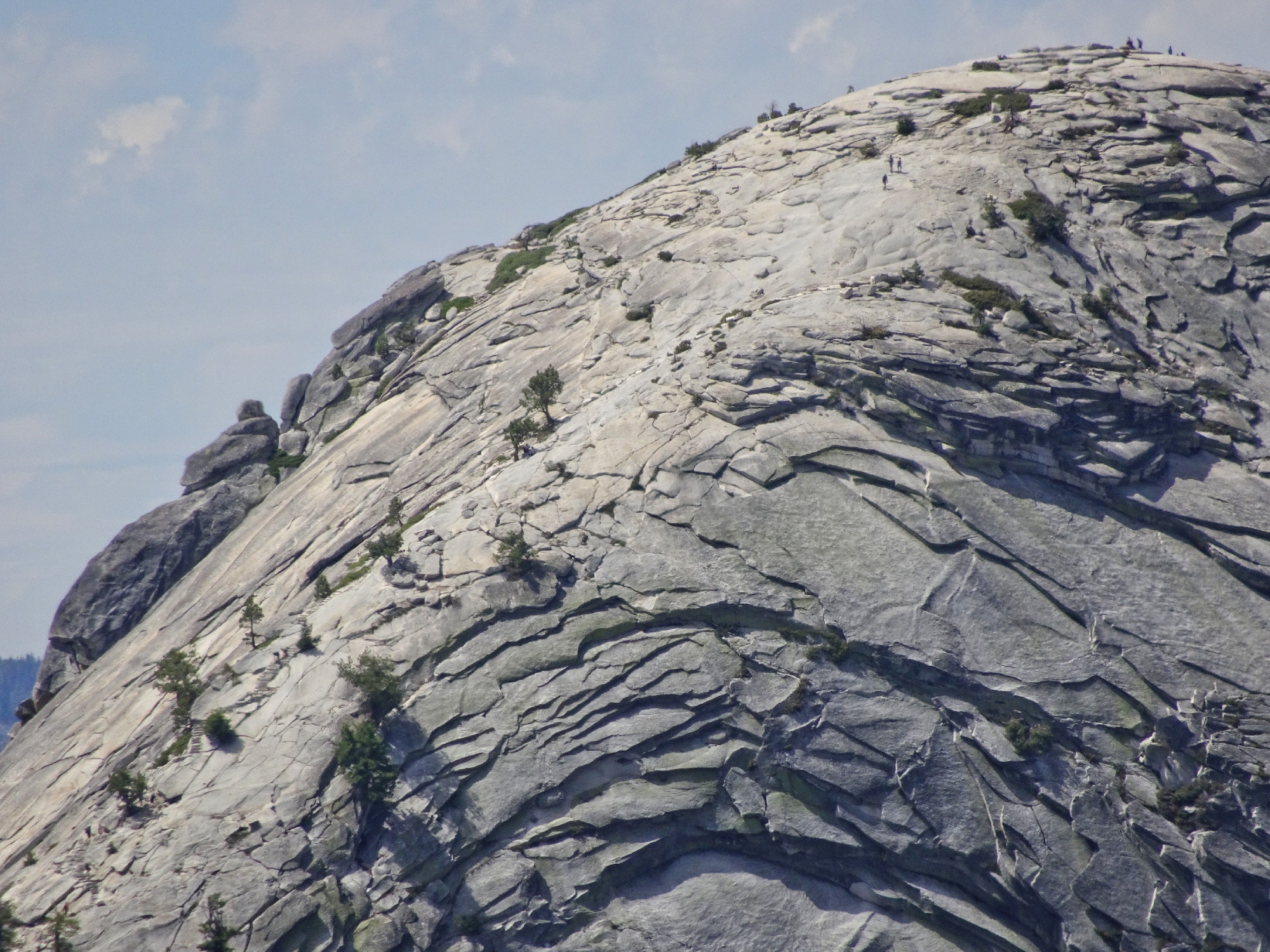
Mount Watkins summit, 8500'
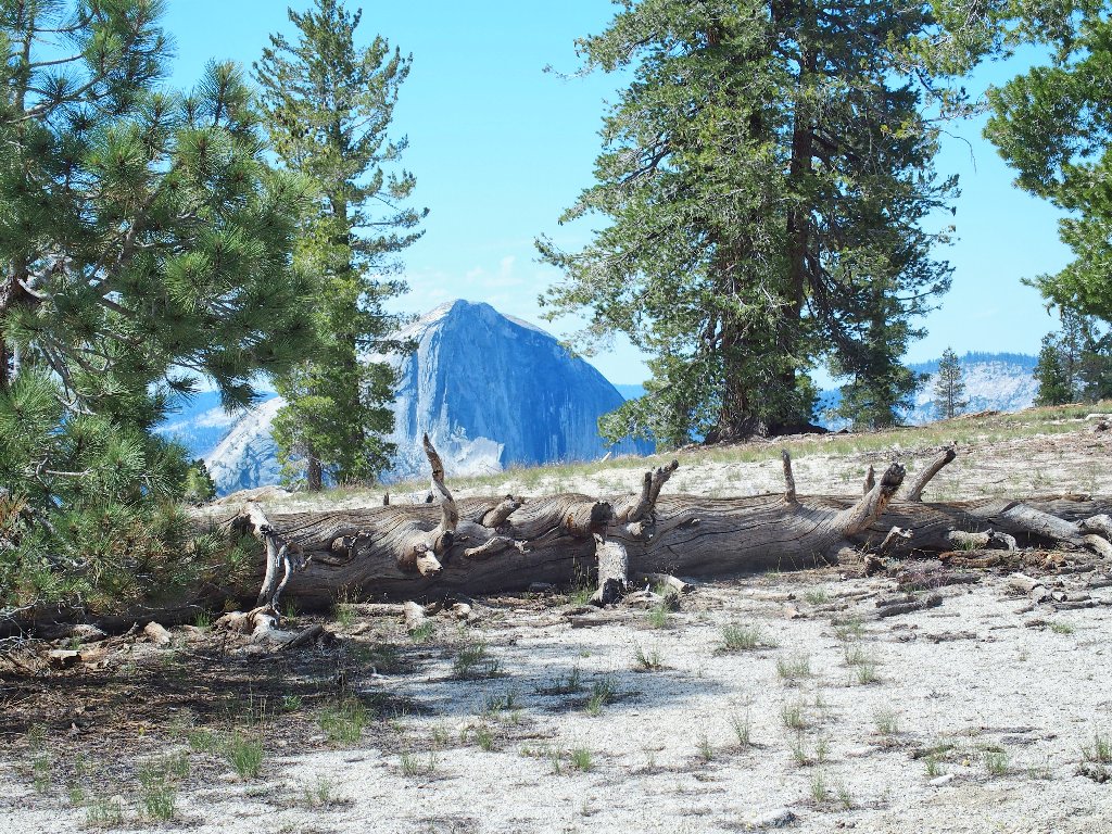
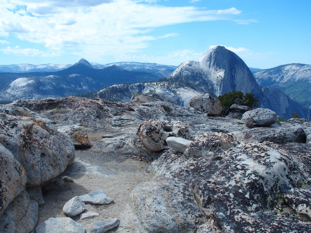
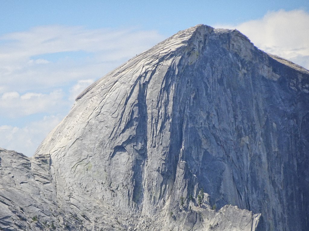
Now the park's most famous icon is in full view.
Half Dome rises 300 feet above this point
Seemingly drawn toward the monolith, I start down the slabs, prepared to go as far as prudence dictates.
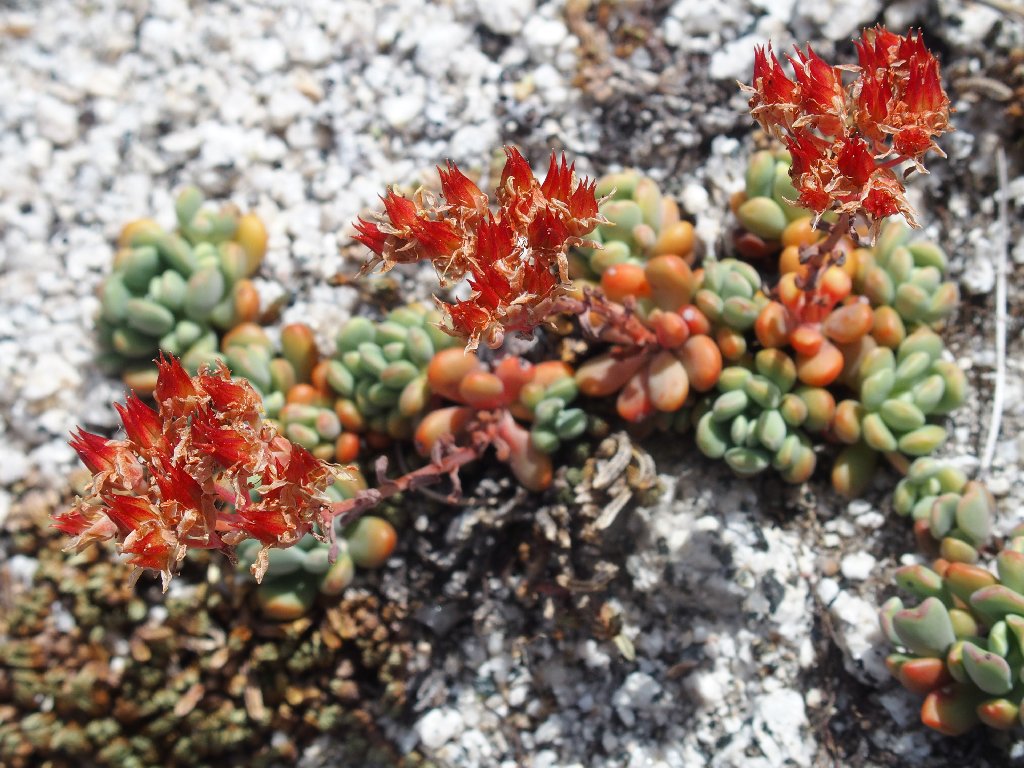
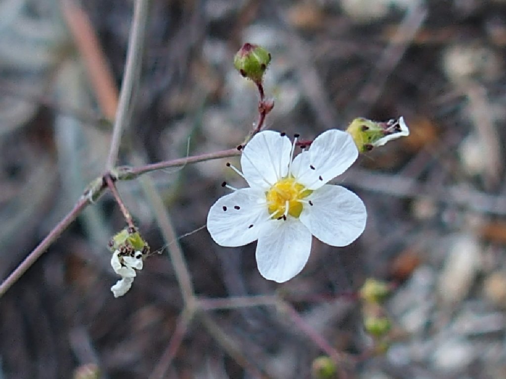
Sierra Stonecrop
At what could have been the end-point, I find that there is yet more work to do.
This is fun
Suddenly I stop dead in my tracks, and my heart begins racing a bit. Two more steps forward, and I'd have been in real trouble.
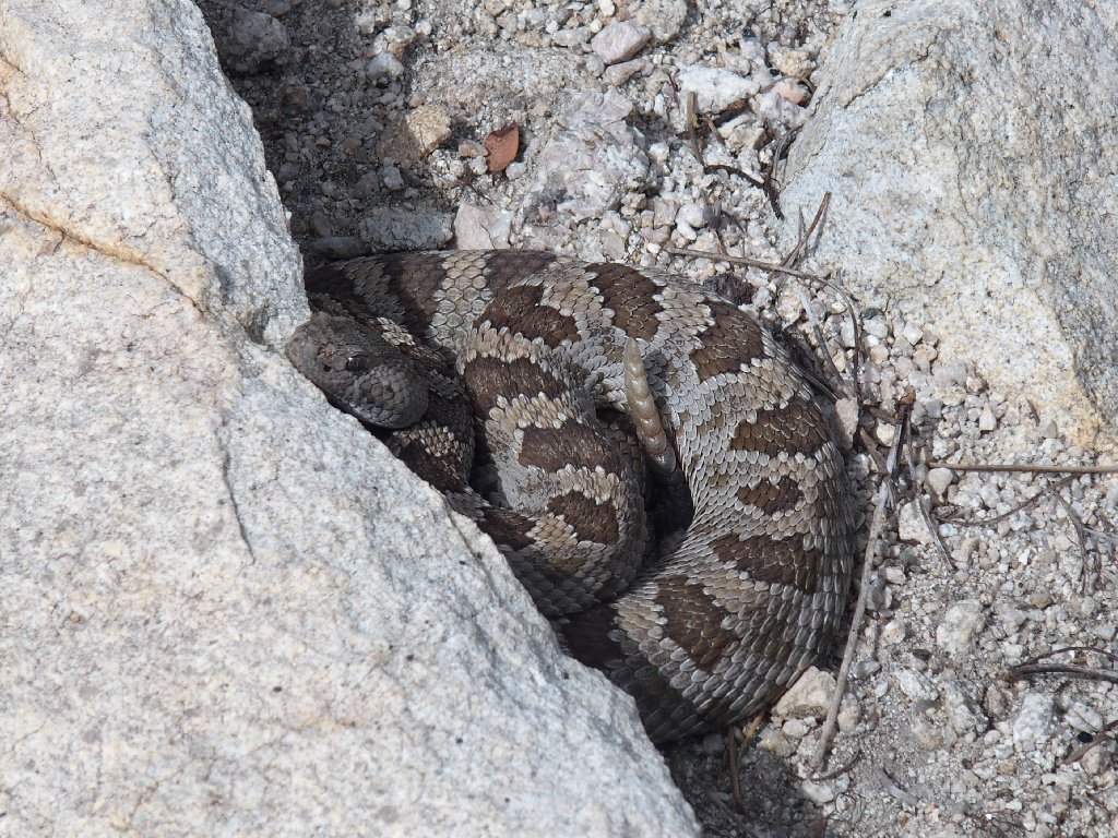
After regaining my composure, I manage a couple of telephoto shots
That guy never moves or utters a sound. Might it have remained asleep?
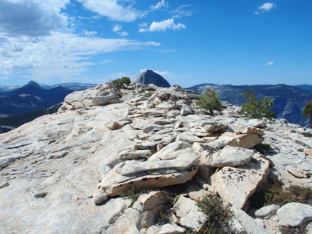
After three-quarters of a mile, the end must be near
Having dropped nearly three hundred feet from the summit, I now am virtually atop the Watkins Pinnacles. This place is amazing!
It's a shame that all the potholes are dry
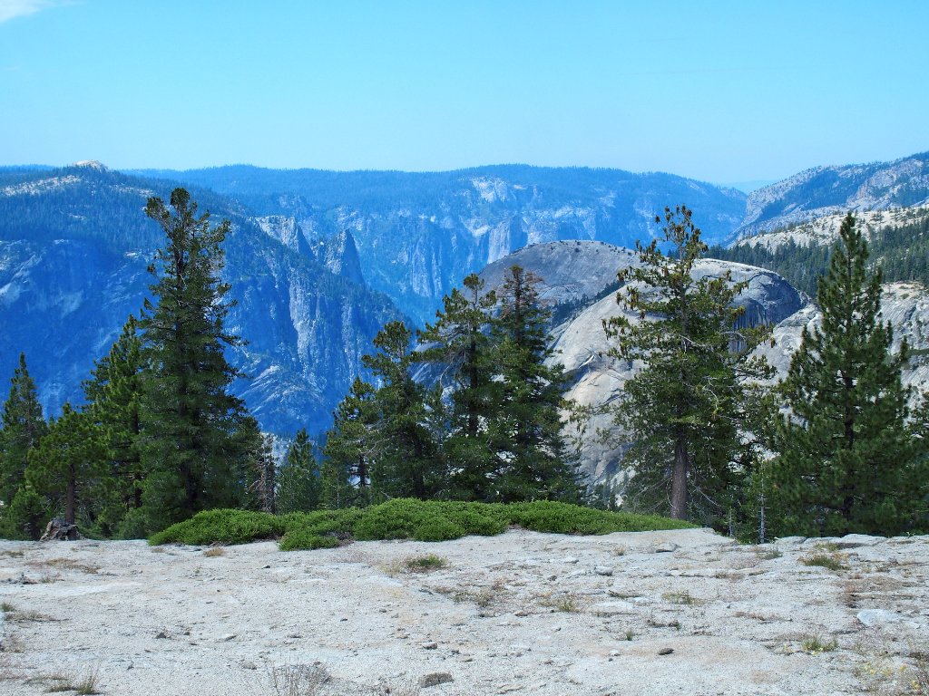
This being a world-class viewing opportunity, I must start looking around.
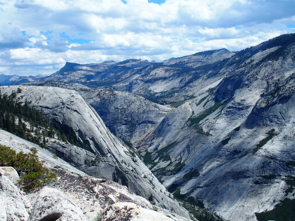
To the north is Tenaya Canyon
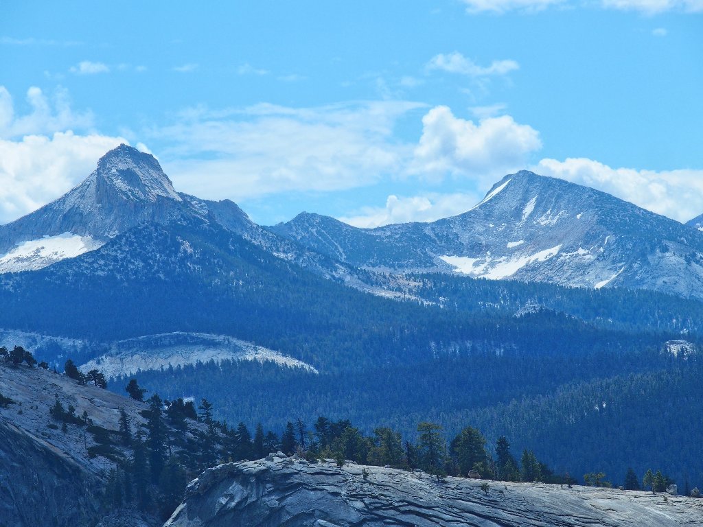
To the south is Mount Starr King (left)
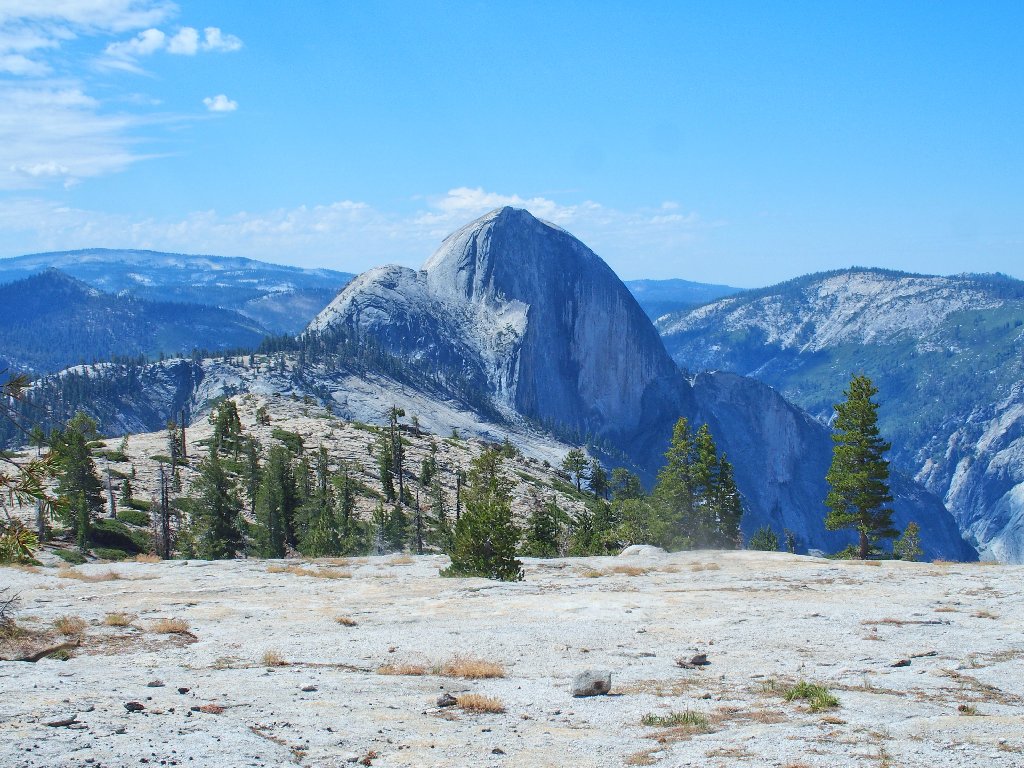
Across the canyon is the world's biggest piece of exposed granite
⇔⇔
Of course, the main attraction is right in front of me. Half Dome is but two miles away now, and this is a great angle for photographing the action on the northeast slope.
The ever-popular cable route is full, as expected
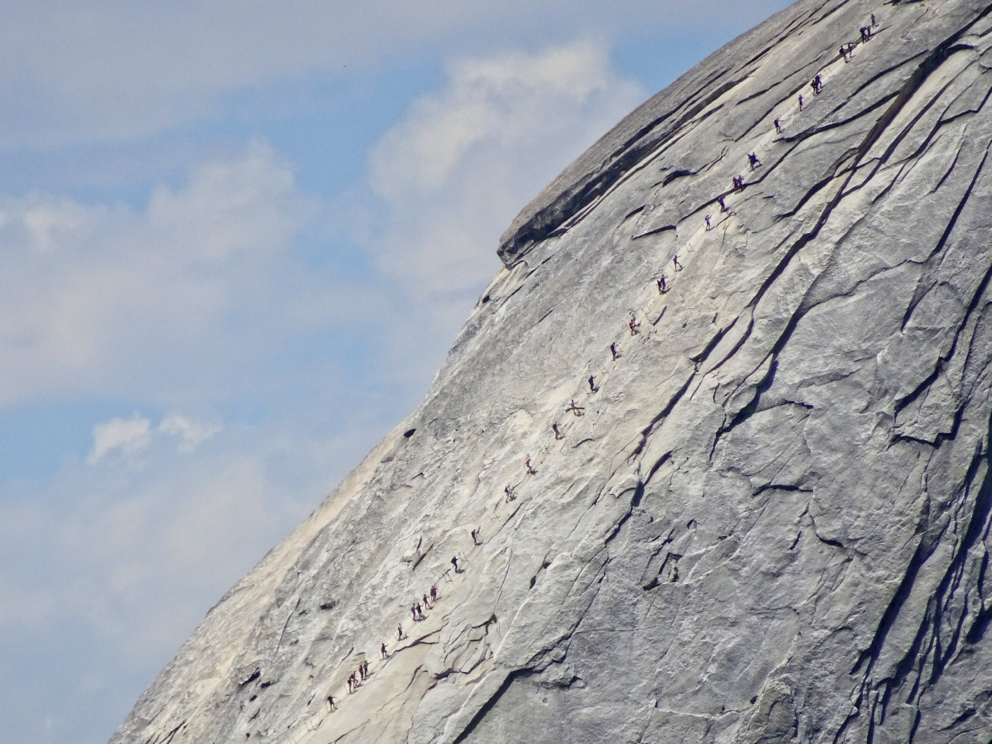
I can count at least fifty hikers on their most exciting trek ever
⇔
The cables themselves and their stanchions are visible at 30x zoom
⇔
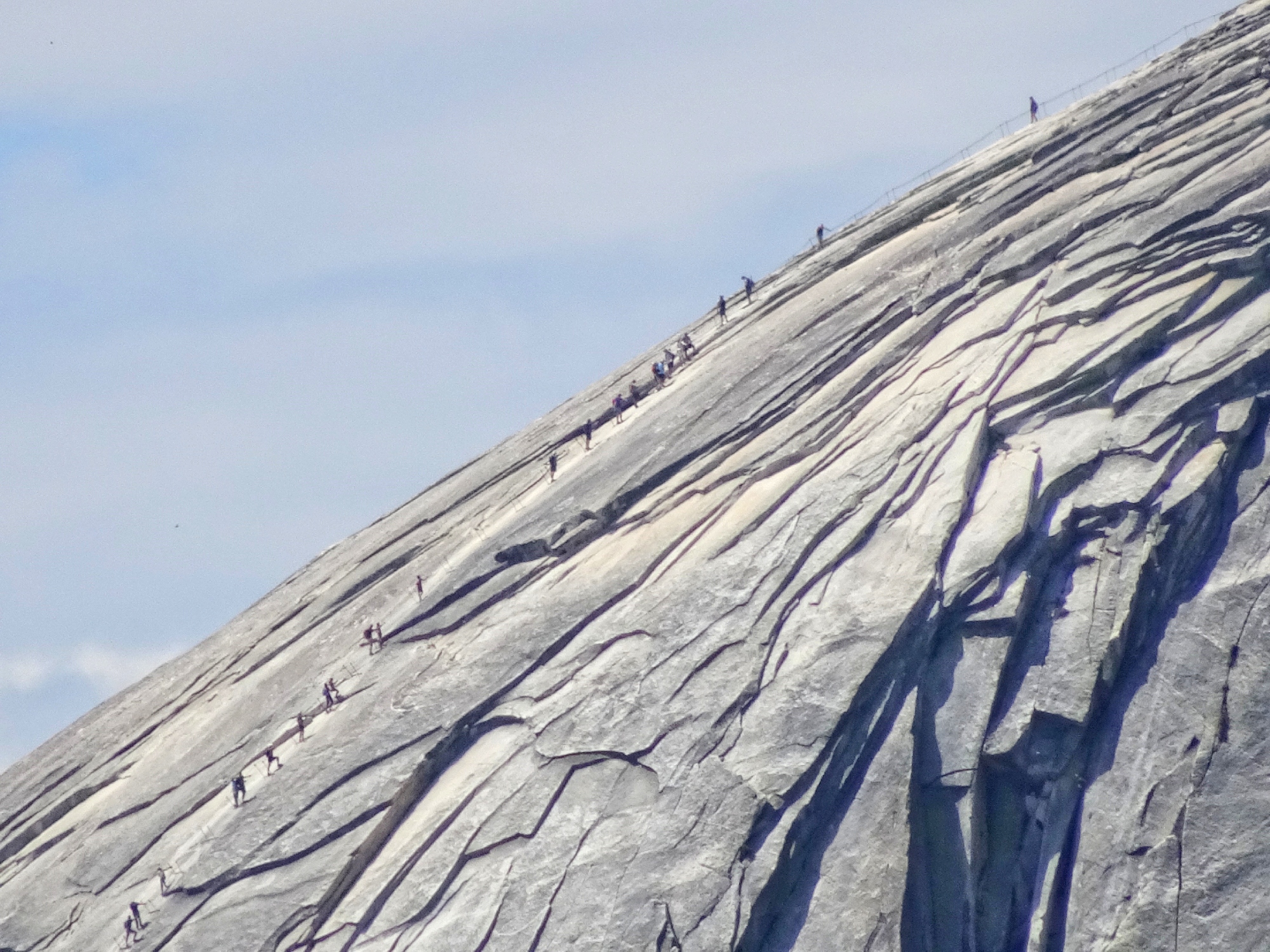
Ascending the 600-foot Sub Dome is a challenge in itself ⇔
Yes, those hundreds of stone steps can be tiring.
Lunch break
Hello. Is that a hole in the rock next to me? Yes, it is —
not as big as the one I discovered over on North Dome, but real enough.
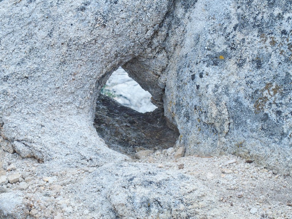
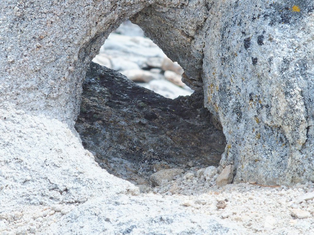
I dub thee Watkins Arch
That makes three known arches in the area, yet only one of them is big enough to be acknowledged in the park literature.
Starting back
An artsy farewell shot
Having spent all my time looking south, east, and north, I finally gaze over in the other direction.
Looking westward at Lower Yosemite Valley
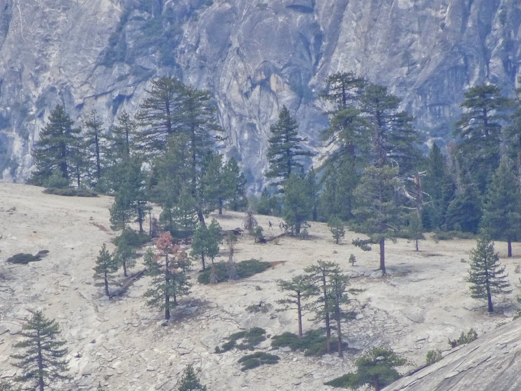
I scan the summit of North Dome for visitors, but don't see any at the moment. There will be some soon, however:
Three hikers approach the dome
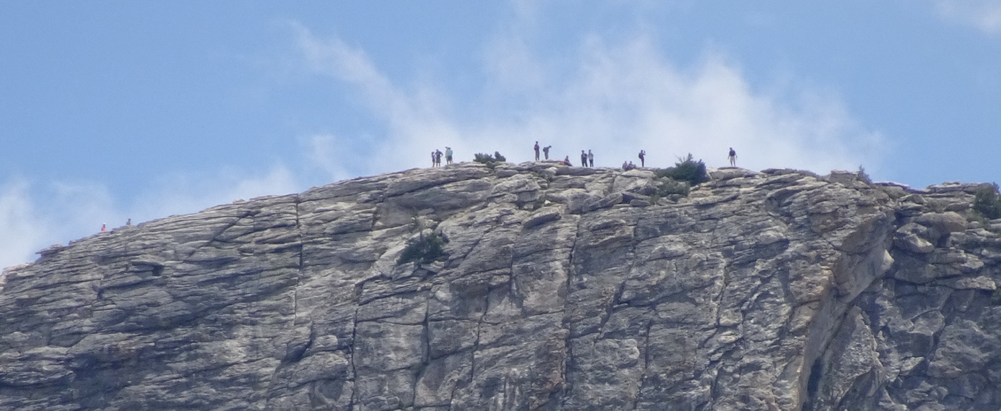
Five miles away, on the other side of the valley, is one of the best viewing spots in the entire park; and it is being appreciated today.
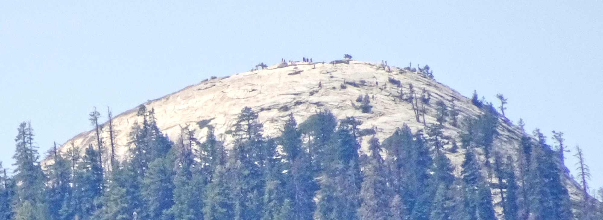
There is a crowd on Sentinel Dome ⇔
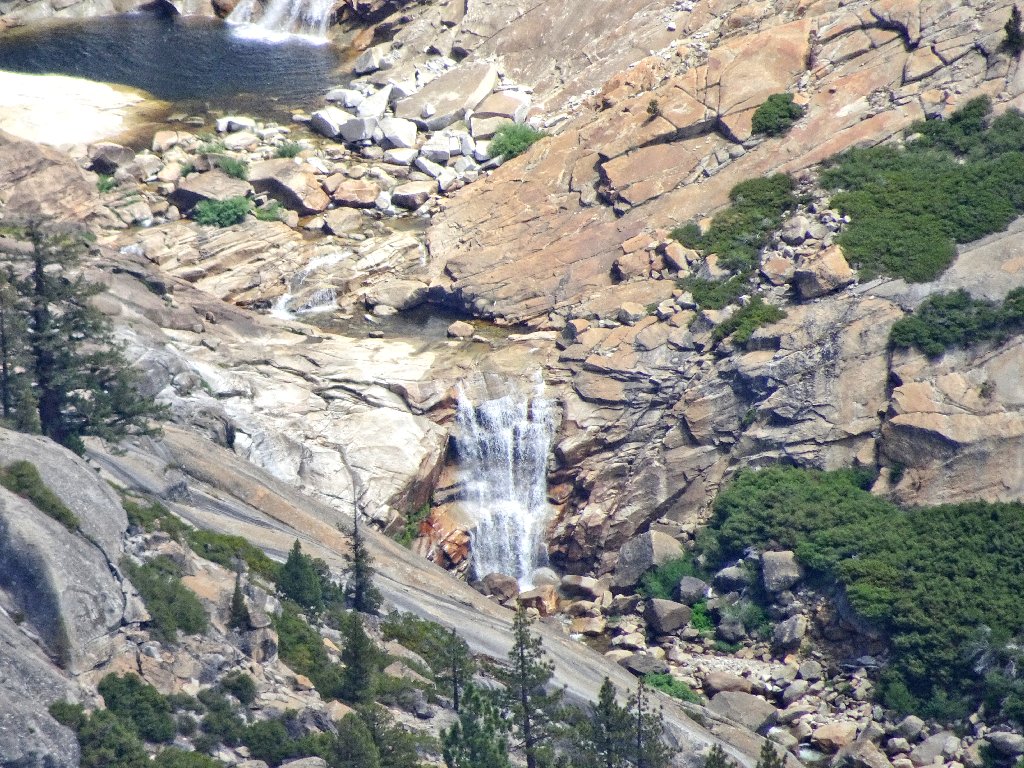
Directly below to the west is a series of cascades with which I am unfamiliar.
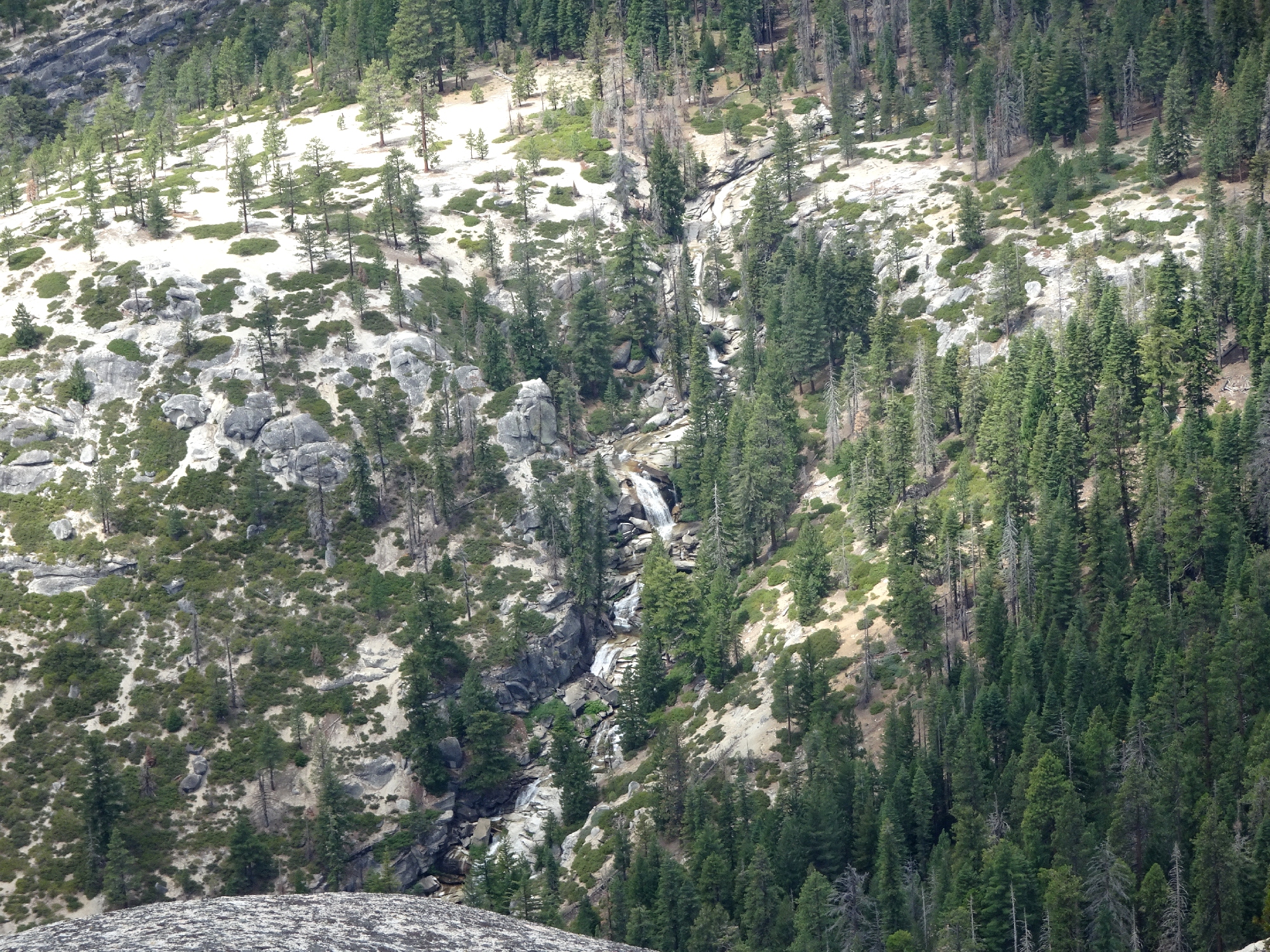
Call them Upper Snow Creek Falls ⇔
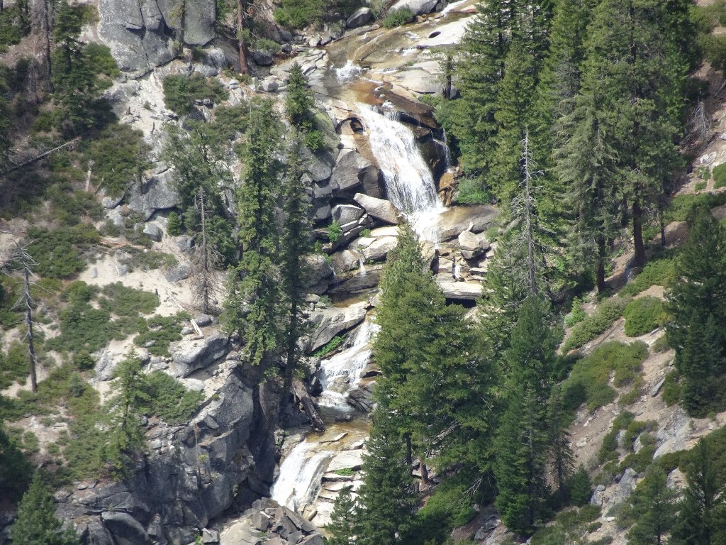
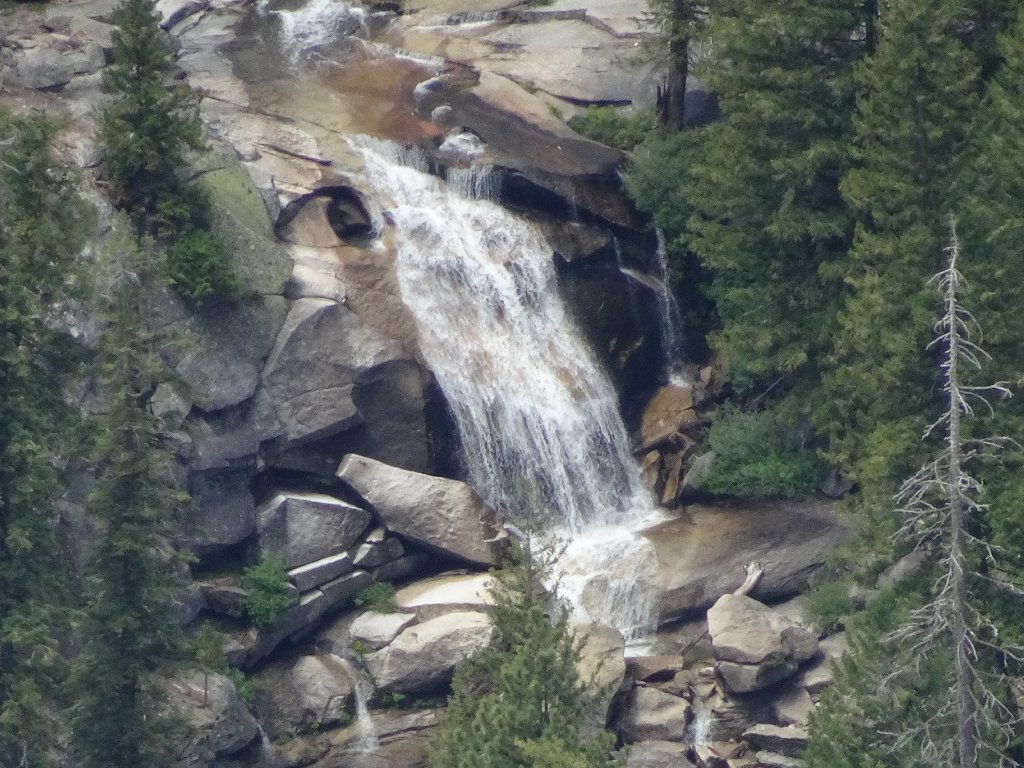
That could be a fun place to visit
In the opposite direction is another iconic lookout:
The summit of Clouds Rest also is crowded ⇔
Okay, so much for domes and summits. There is another item on the
agenda — a detour to an overview of a favorite waterfall.
Shortcutting to the overlook
Remaining as high as possible, it is an easy traverse to another prominent rock at the edge of the canyon, with just a small detour around a big pile of logs. Finally, I get my anticipated view of a cataract that cannot be seen from any trail. Oh, my!
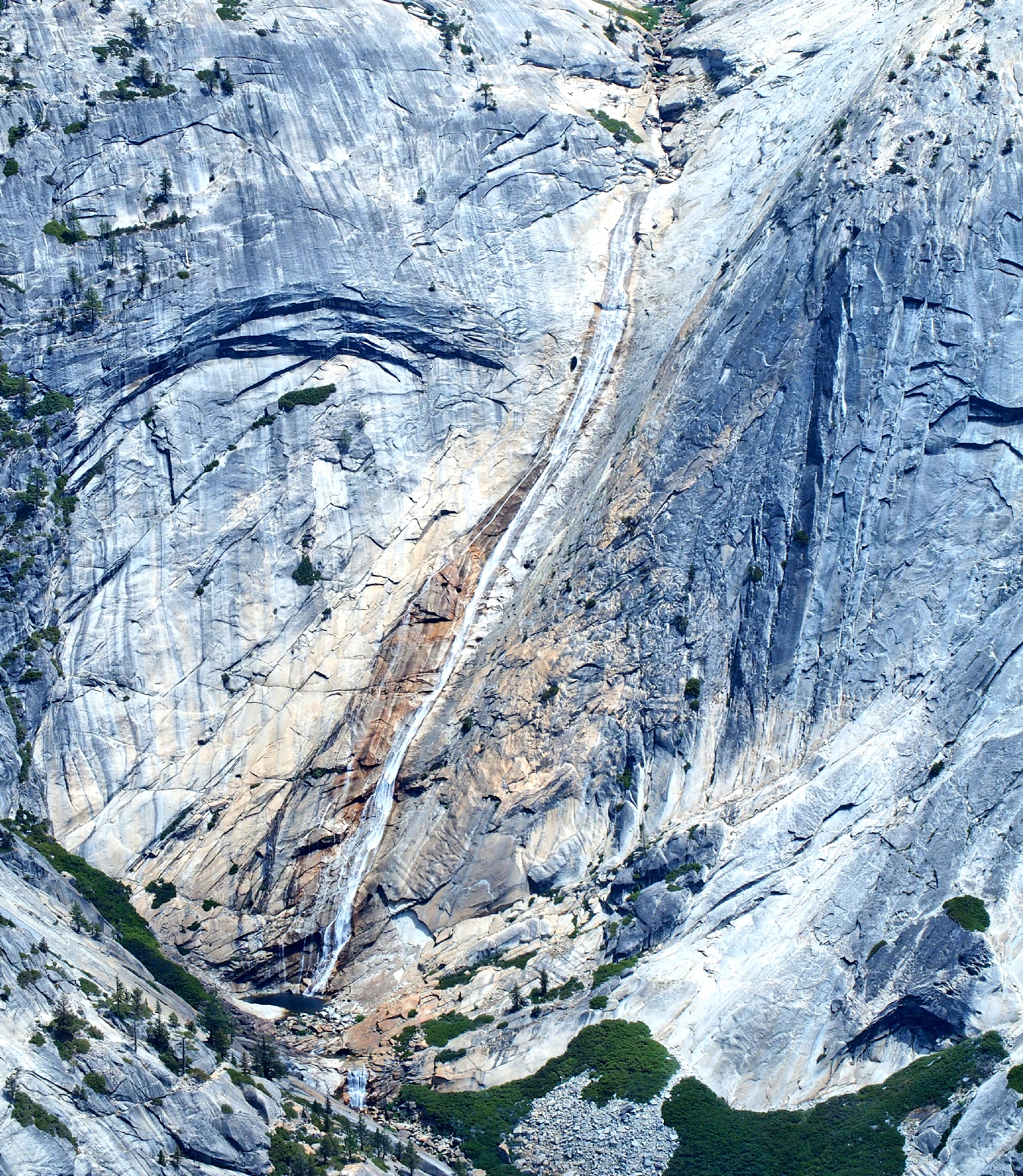
The elusive 600-foot Pywiack Cascade ⇔
Just upstream of the brink is the famed Tenaya Waterslide, which I visited just two weeks ago. At the base of the falls is a scene of uncommon beauty.
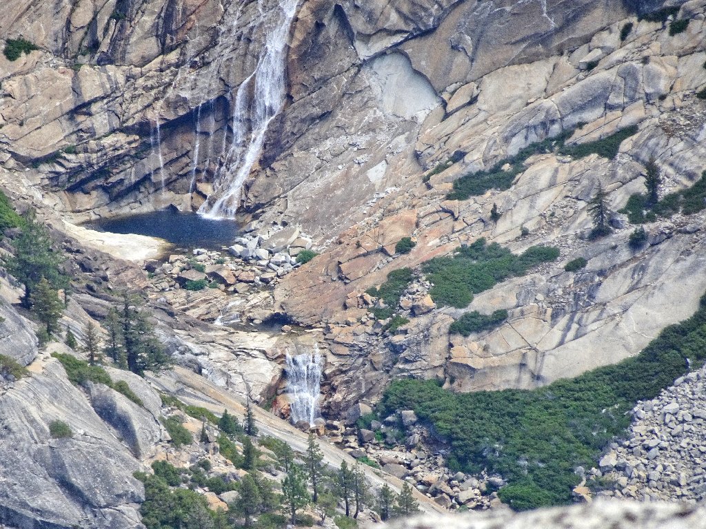
This is why I go hiking
It is a shame that that luscious spot is enjoyed only by adventurers with climbing
equipment, for a non-technical route down Tenaya Canyon is said to be
impossible. Actually, the pool itself can be accessed by scrambling down through
the manzanita in the adjacent Airplane Gully; but somehow I haven't managed to summon
the enterprise required for that arduous task.
Pywiack Pool
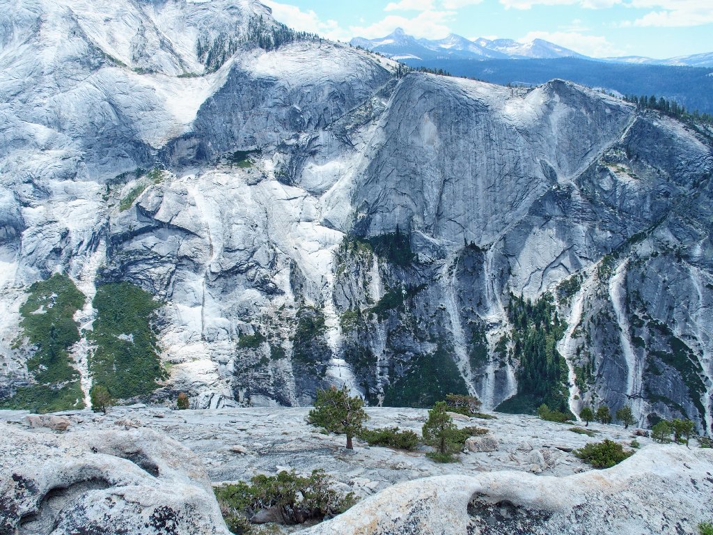
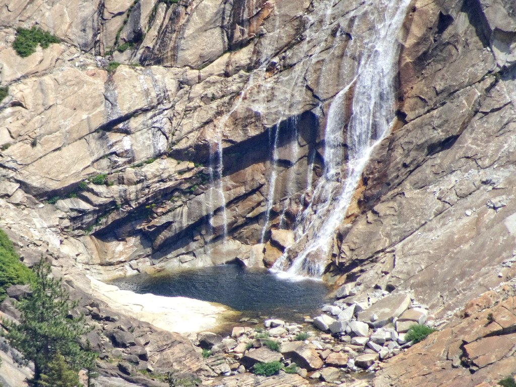
I had previously photographed this amphitheater from a closer vantage point (Hike #121), but from there I could not see the nifty falls below the pool.
Sublime
From here, it's just a matter of angling back to the use trail, which is very easily done.
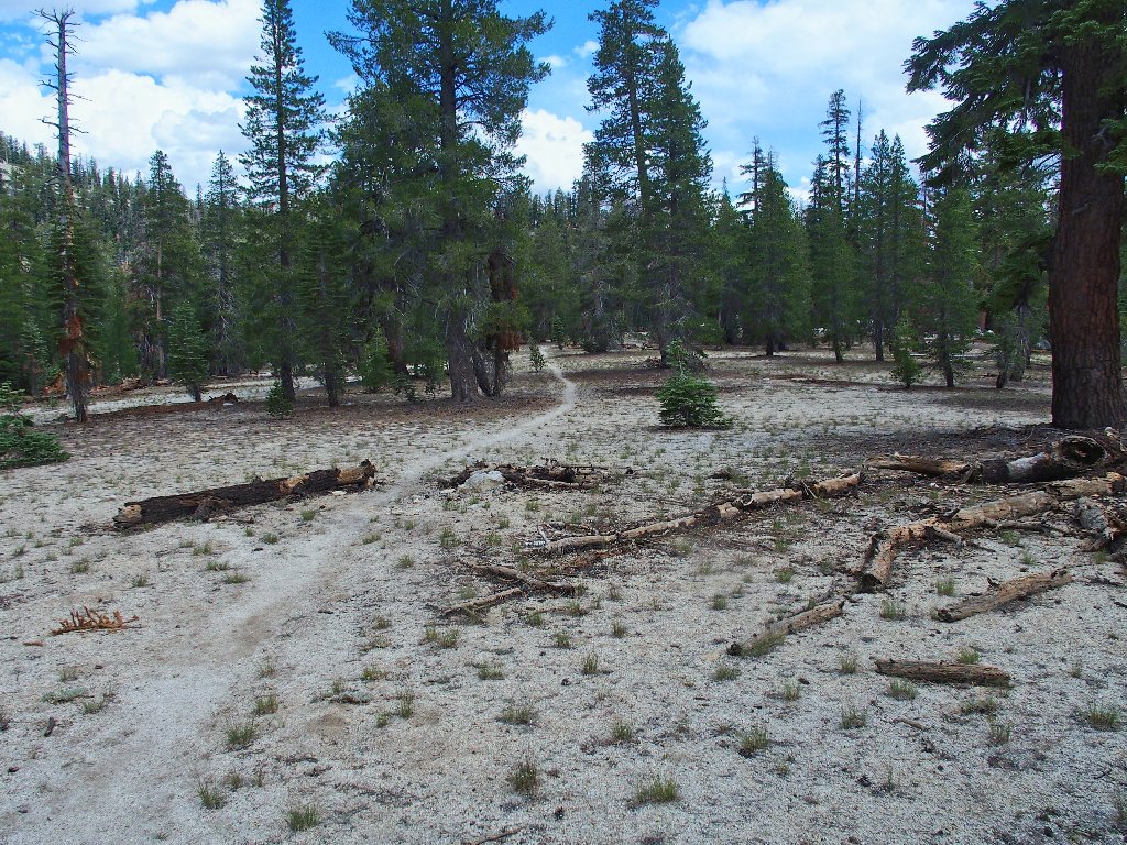
Back on track
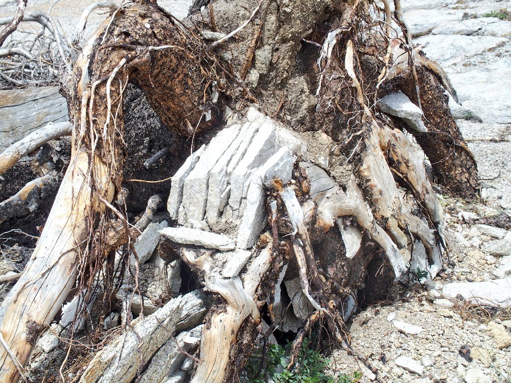
Strong roots
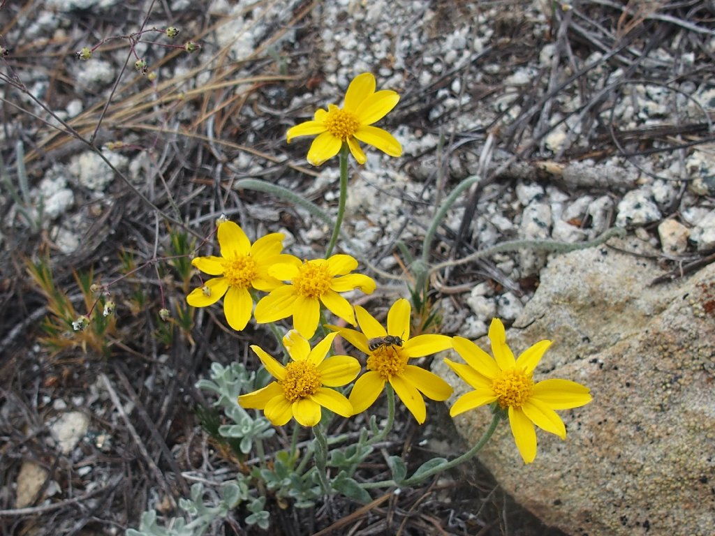
Woolly Sunflower
Sierra Mousetail
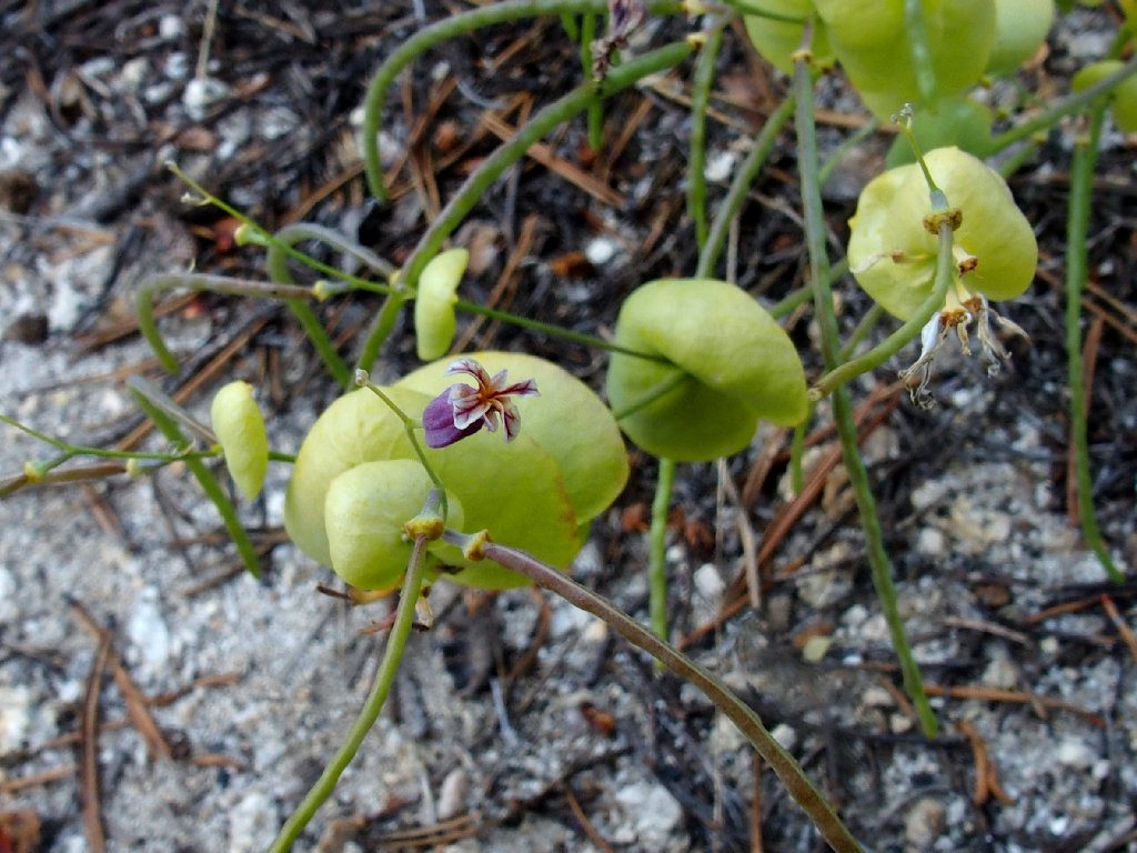
Jewel Flower
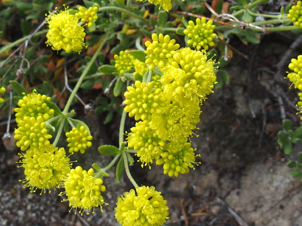
Sulfur Flower Buckwheat
After regaining the trail, I unexpectedly encounter a four-way junction.
It seems that there is an established route back after all — one that
isn't on the topo map.
It's left to the mountain, straight to the big valley, or right to the trailhead
Cross-country ski-route markers on the trees
Had I seen those indicators previously, my task would have been somewhat easier. Clearly, this trail is established and maintained; and it completely obviates my 'shortcut'. Perhaps I need some newer maps.
Flying Saucer Rock
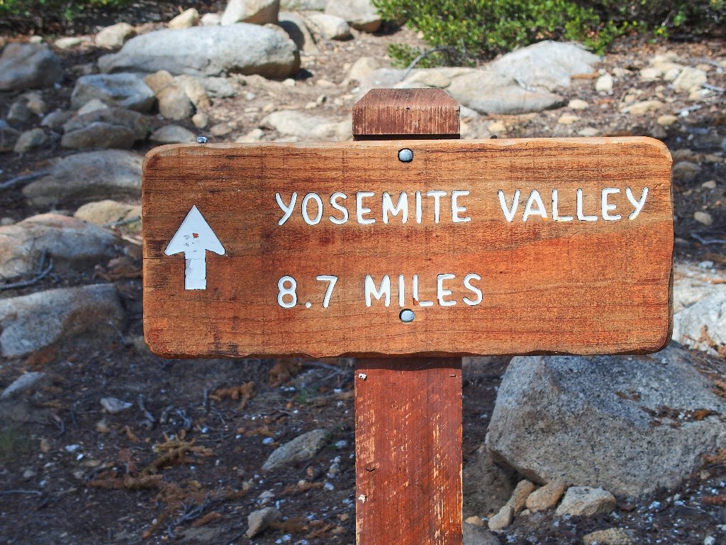
Another junction puts me finally onto the main connector to Yosemite
Valley — the one that I had been avoiding.

Go left to Mount Watkins, or right to Mirror Lake
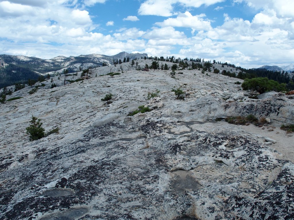
Up here, the scenery has changed.
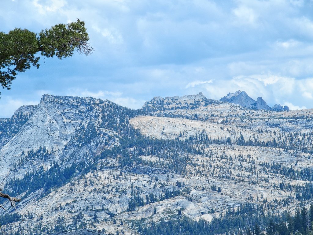
Tenaya Peak, Cockscomb and Matthes Crest top the Crystal Range
And then there is my favorite mountain:
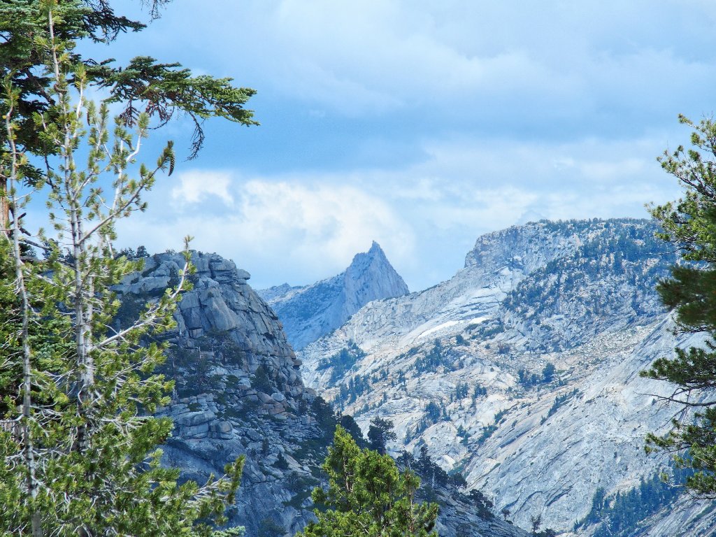
Cathedral Peak is nearly eight miles away
This route does take me a bit higher than before, which is no trouble at all.
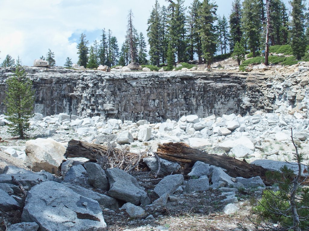
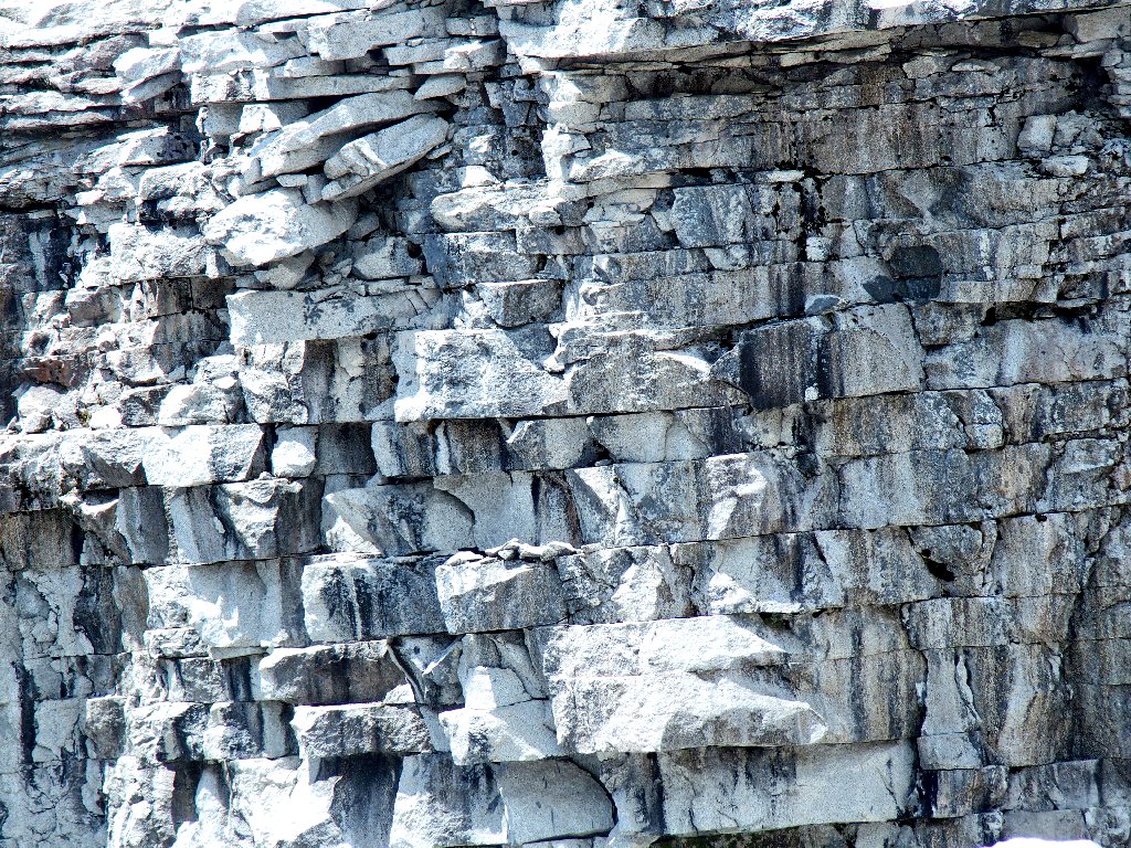
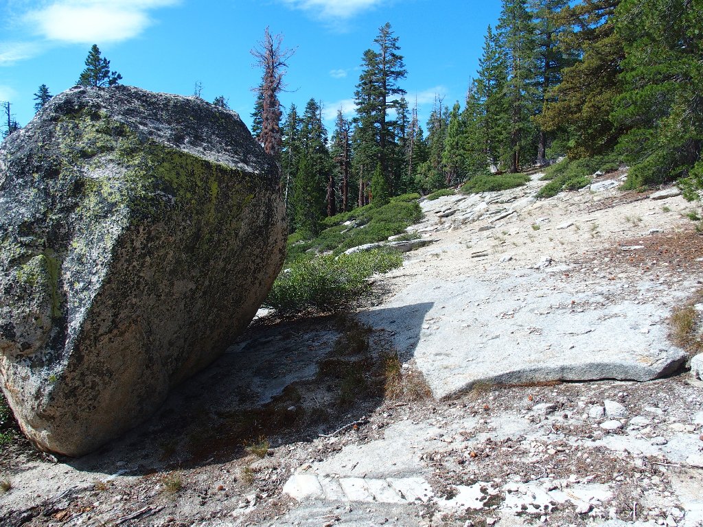
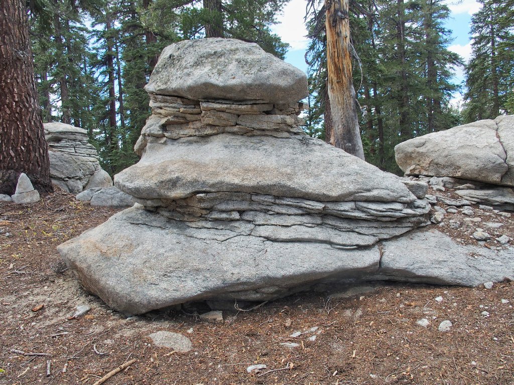
Exfoliating granite provides a perfect quarry
The erstwhile shortcut route
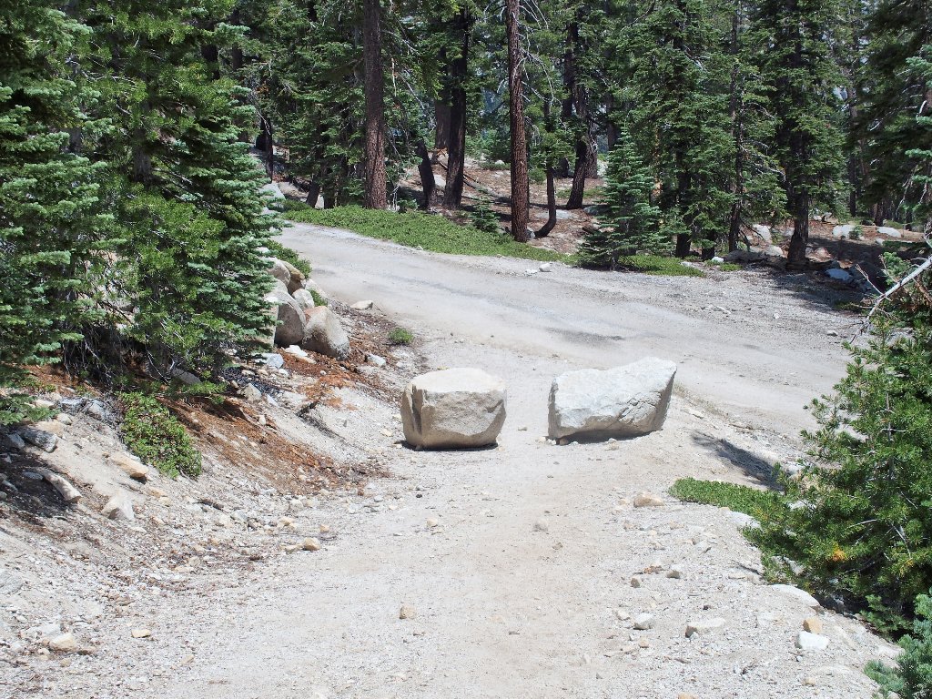
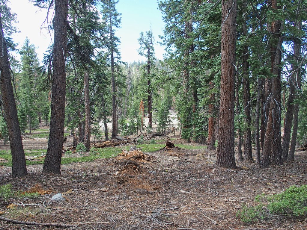
End of a much better route
Almost there
§: Well, this was a real treat, having seen much more today than on
my prior outing here. While not on most visitors' radar, the Mount Watkins
area is easily one of the most scenic places in the park. On the return,
I'll come as early in the season as is reasonable, when the Pywiack Cascade is as
full and spectacular as possible.
Also, I will try to arrange for it to have rained recently. That might fill up the potholes at the top of the Watkins Pinnacles, and perhaps it will keep that rattlesnake under its rock as well.
As for you, don't get lazy and stop at the technical summit. Continue the
easy walk down the slabs toward Half Dome, to the obvious stopping-place;
that's where the best stuff is. Also, should you choose to access the area from
the better-known trailhead at Olmsted Point, plan on incurring additional
mileage with no added benefit.
Finally, I must apologize for the relatively poor image quality on the telephoto shots. They could be much better.
| Scenery |  |
| Difficulty |  |
| Personality |  |
| Adventure |  |