
Hoover Wilderness
|
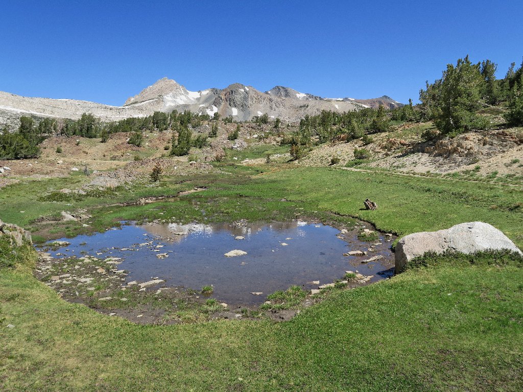
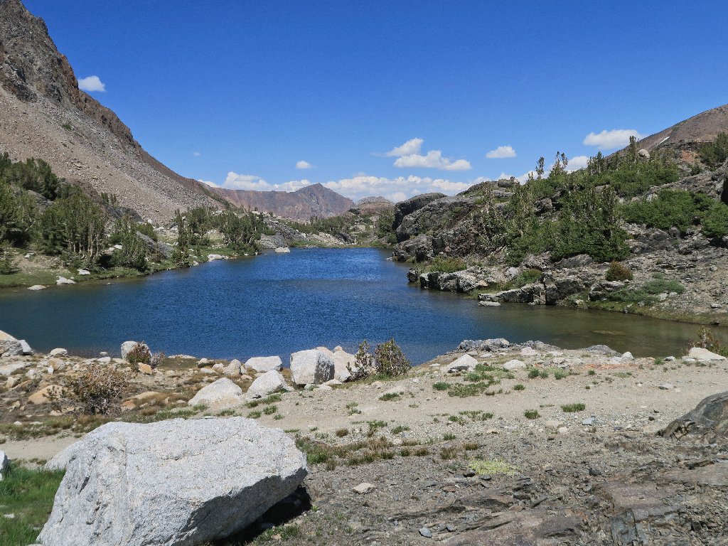
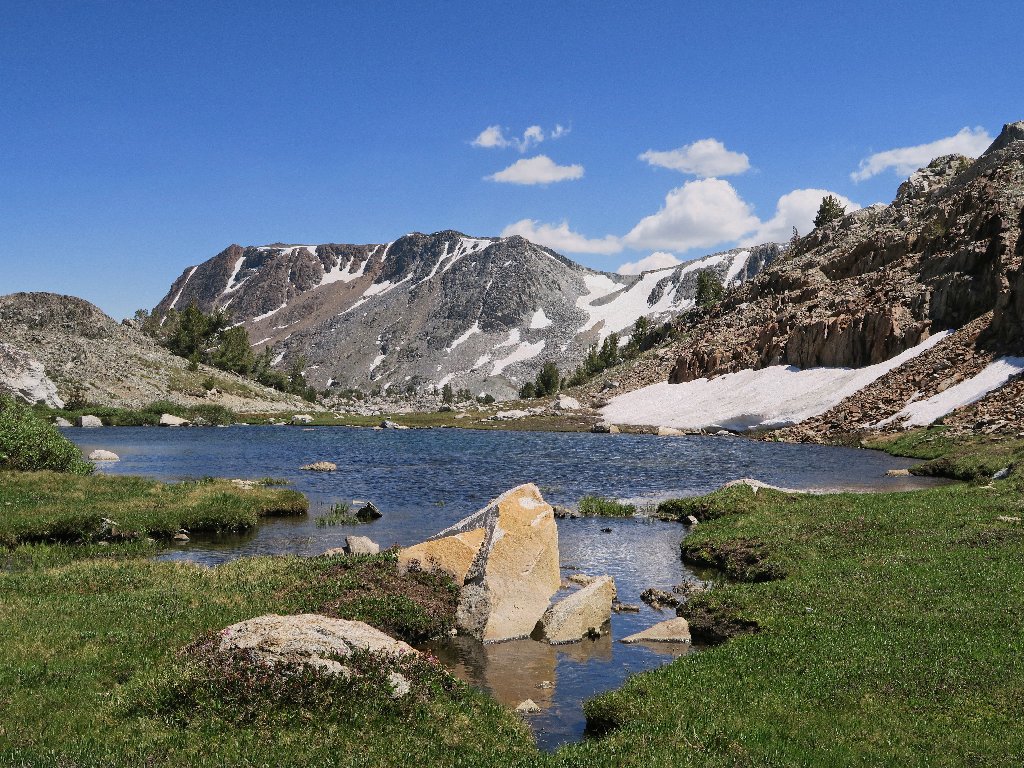
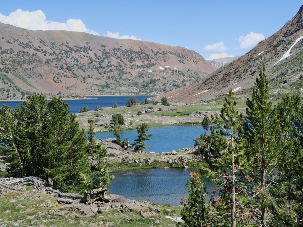
Secret Lake, Twenty Lakes Basin Hoover Wilderness |
July 2, 2018
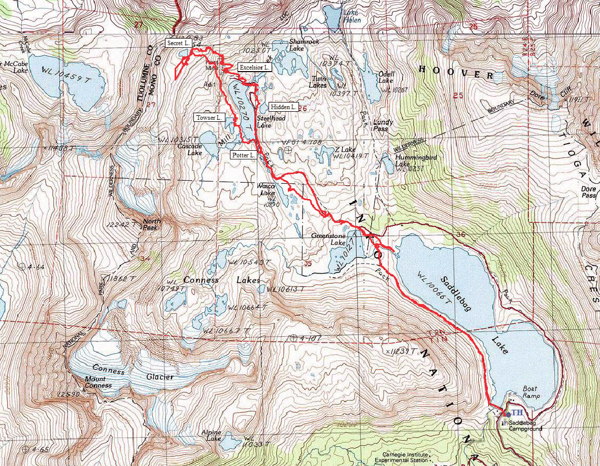
I have driven up here from home this morning to the Tioga Pass area, resolved to knock something off my bucket list. Having unfinished business at Twenty Lakes Basin, it seems like a good choice.
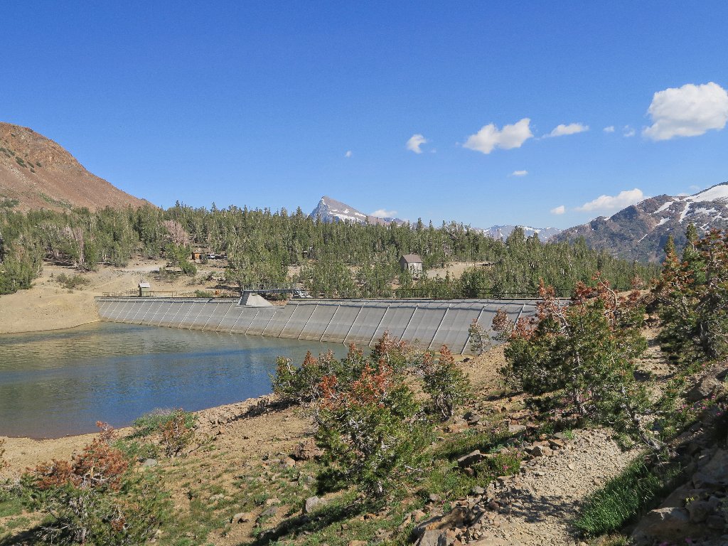
Immediately I am set back, however, because the Saddlebag Resort is closed, and apparently it didn't open at all last year, either. My lack of awareness of that condition is something of a mystery; but in truth I haven't been here in the past three seasons, and shame on me for that. This area is supposed to be my favorite hiking venue.
So the traditional boat-taxi, the one that would save two and a half miles of bland slogging, is unavailable. Having half a mind to seek my fortune elsewhere, I have a change of heart upon realizing that there is no assurance that the situation will change soon, and that it has been too long since my last visit in any case.
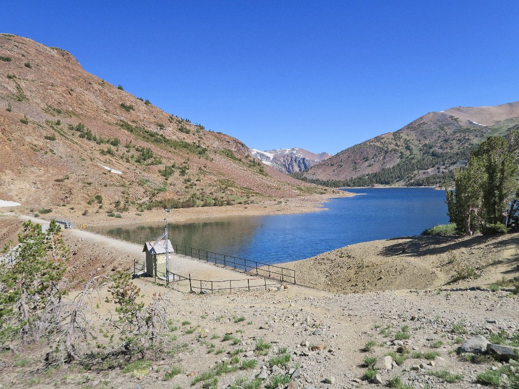
Getting started at the Saddlebag Lake Dam
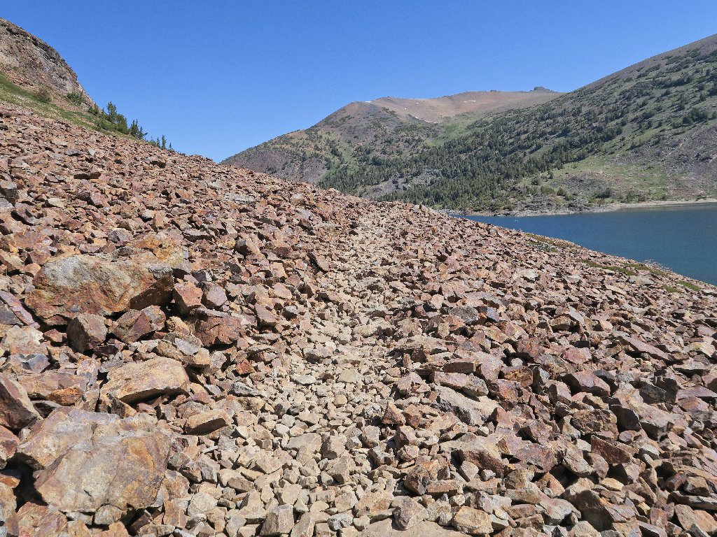
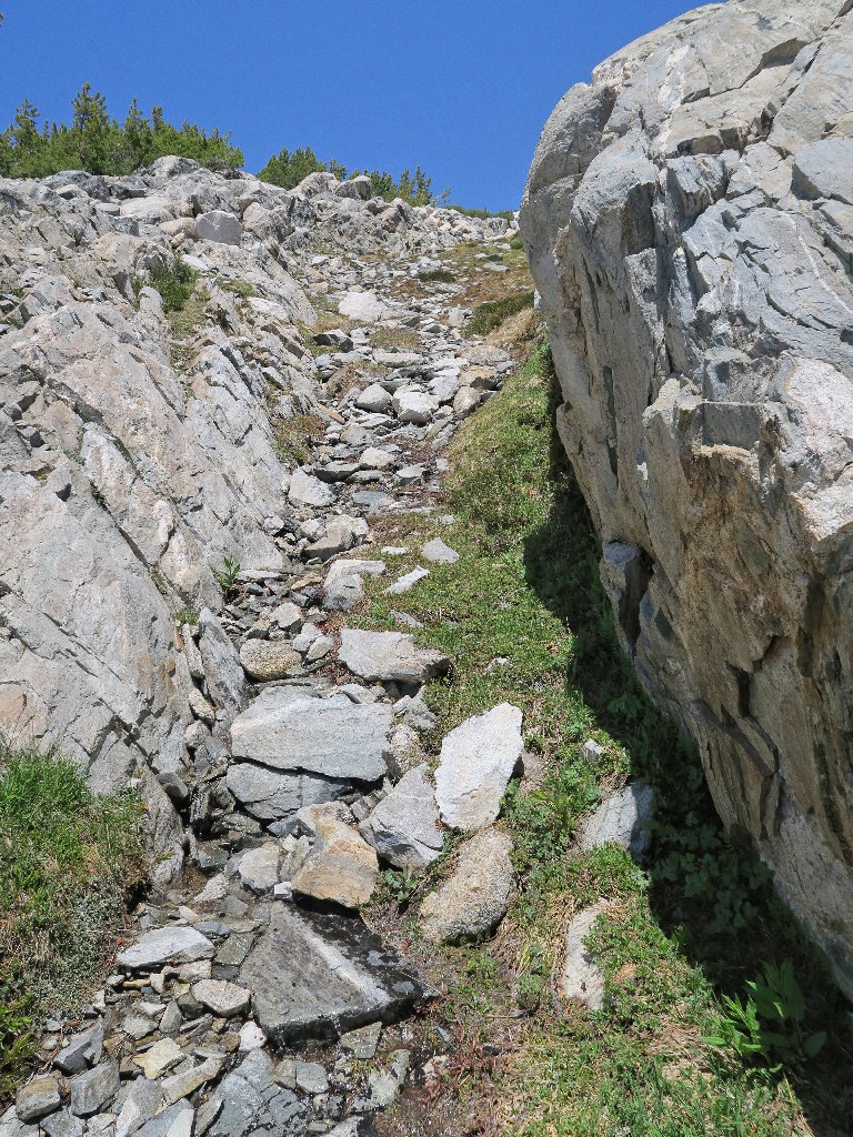
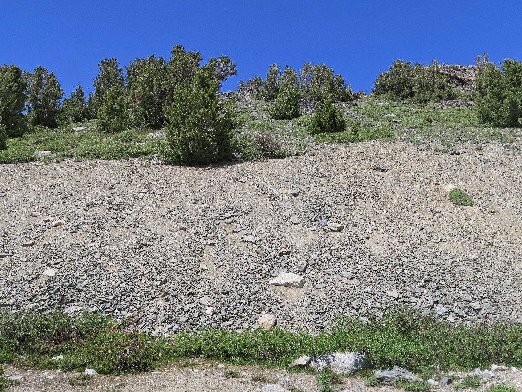
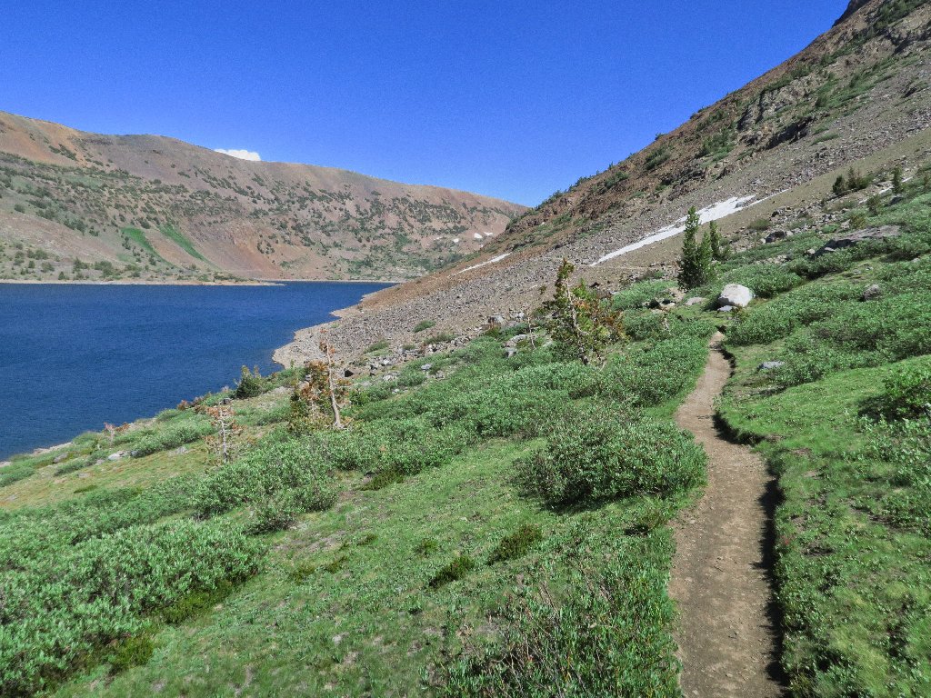
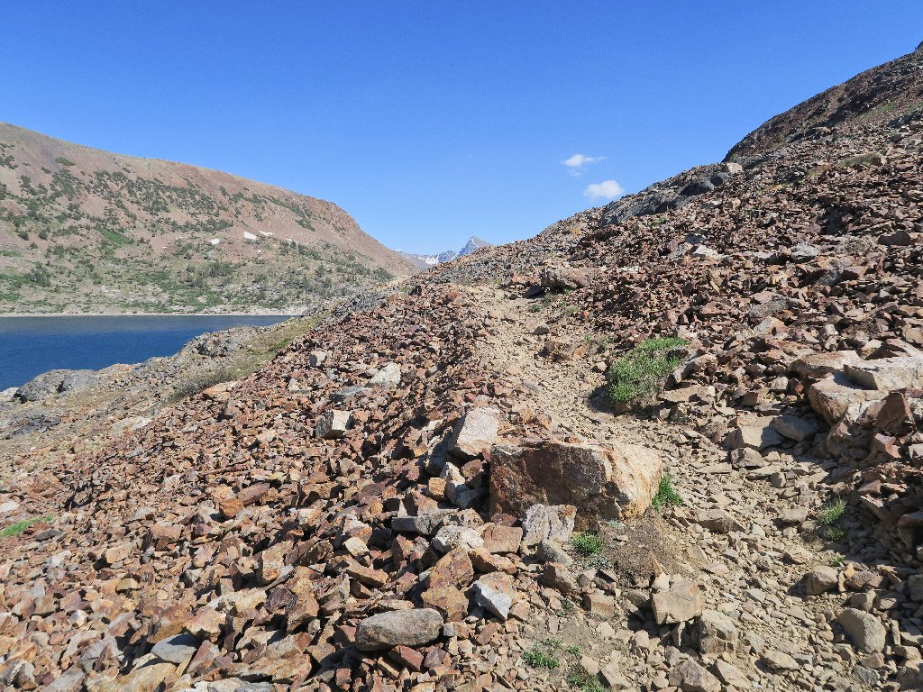
The trail immediately turns into less-than-friendly scree
Four youngsters are water-born on their inflatable stand-up paddleboards. I never have tried that relatively new sport, but would like to.
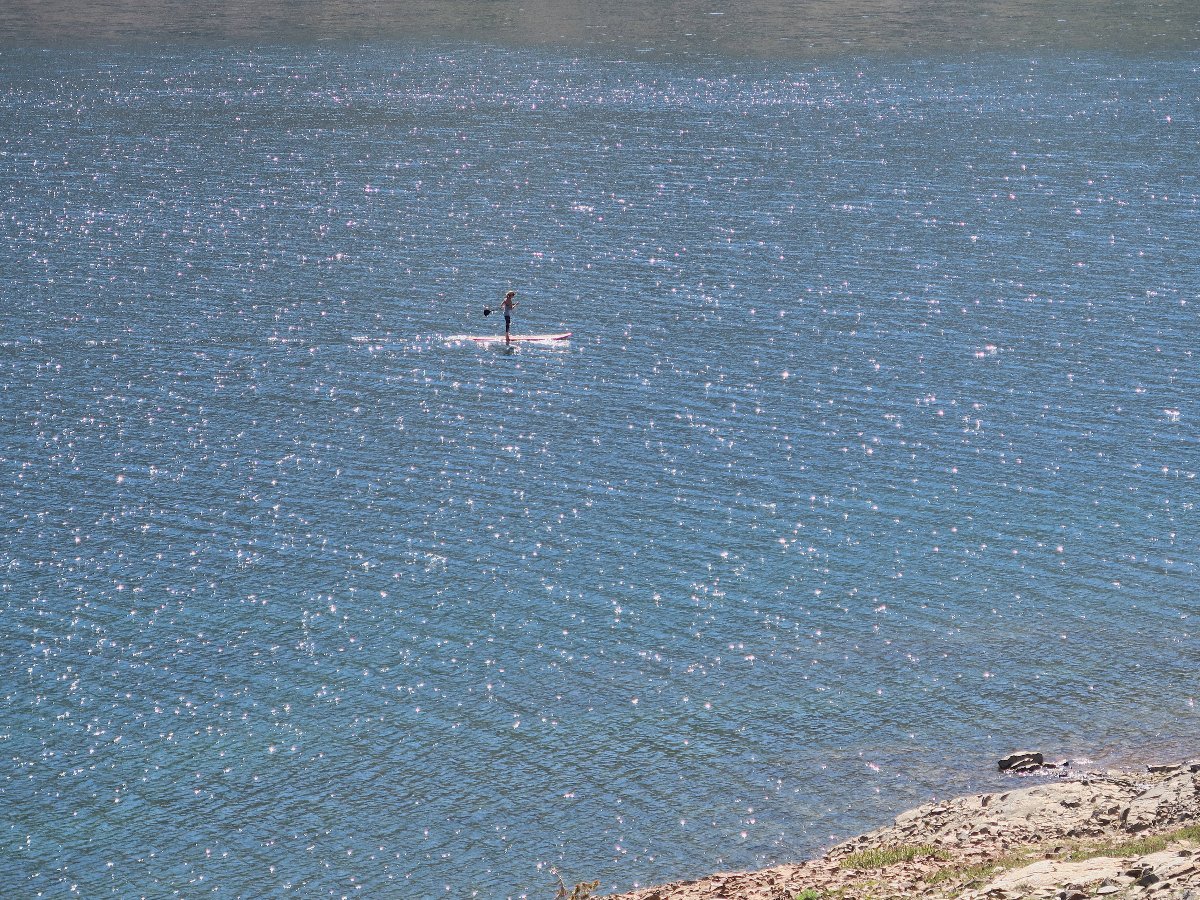
Someone does have water transportation
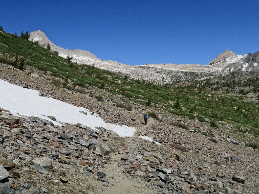
I won't be the only one on the trail today
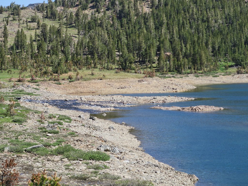
That's where the boat dock used to be
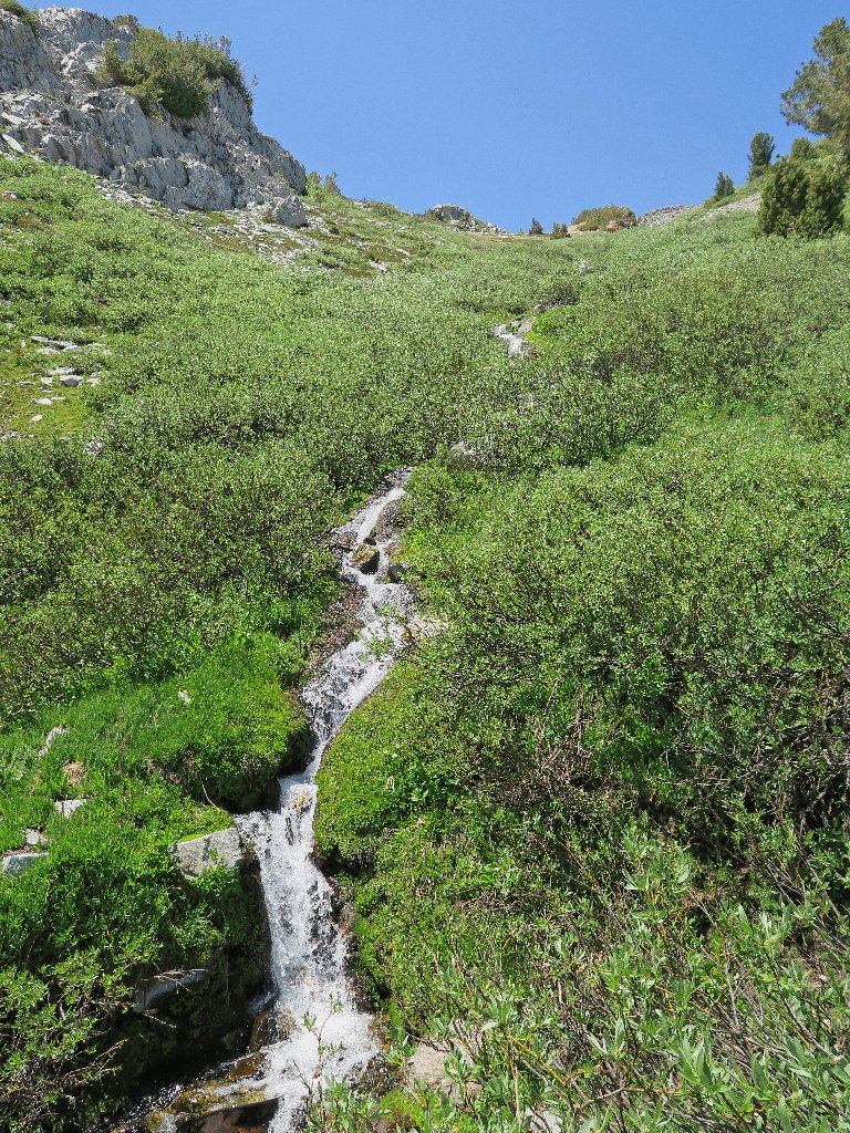
Runoff from Conness Lakes
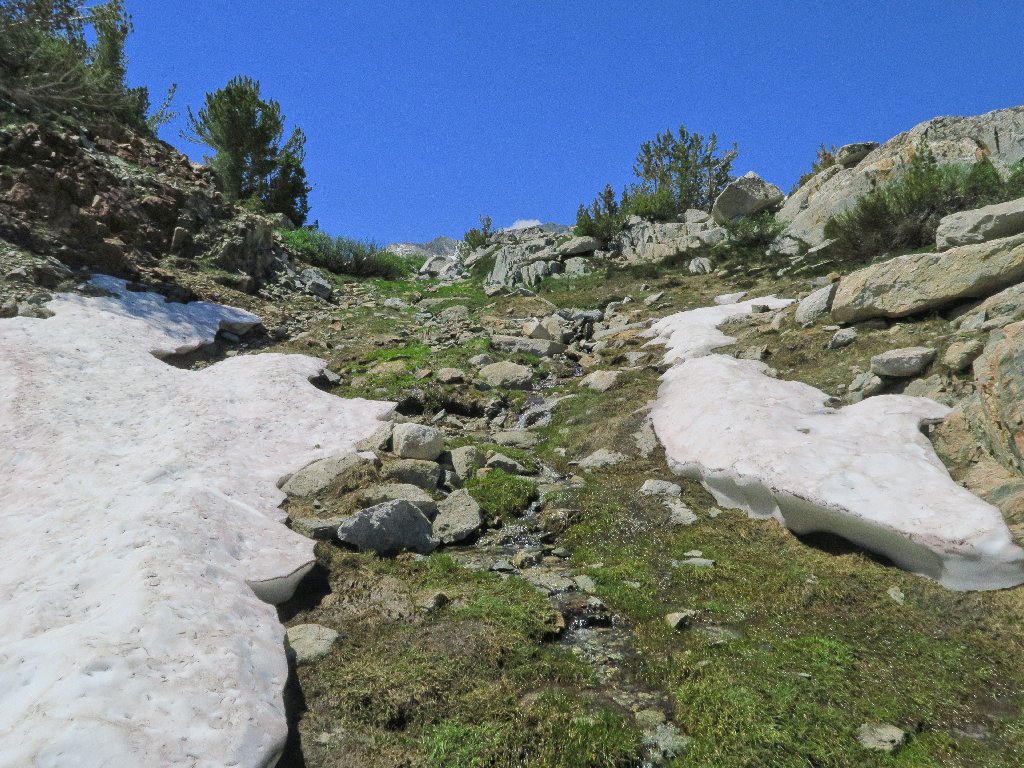
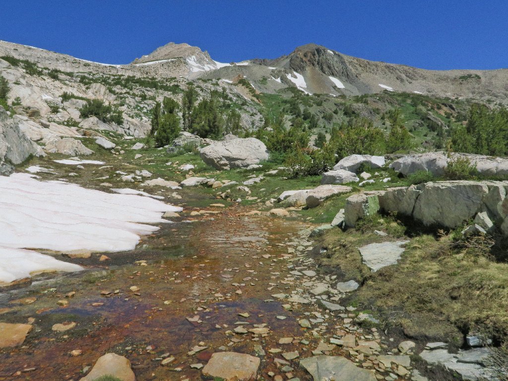
The only dry crossing
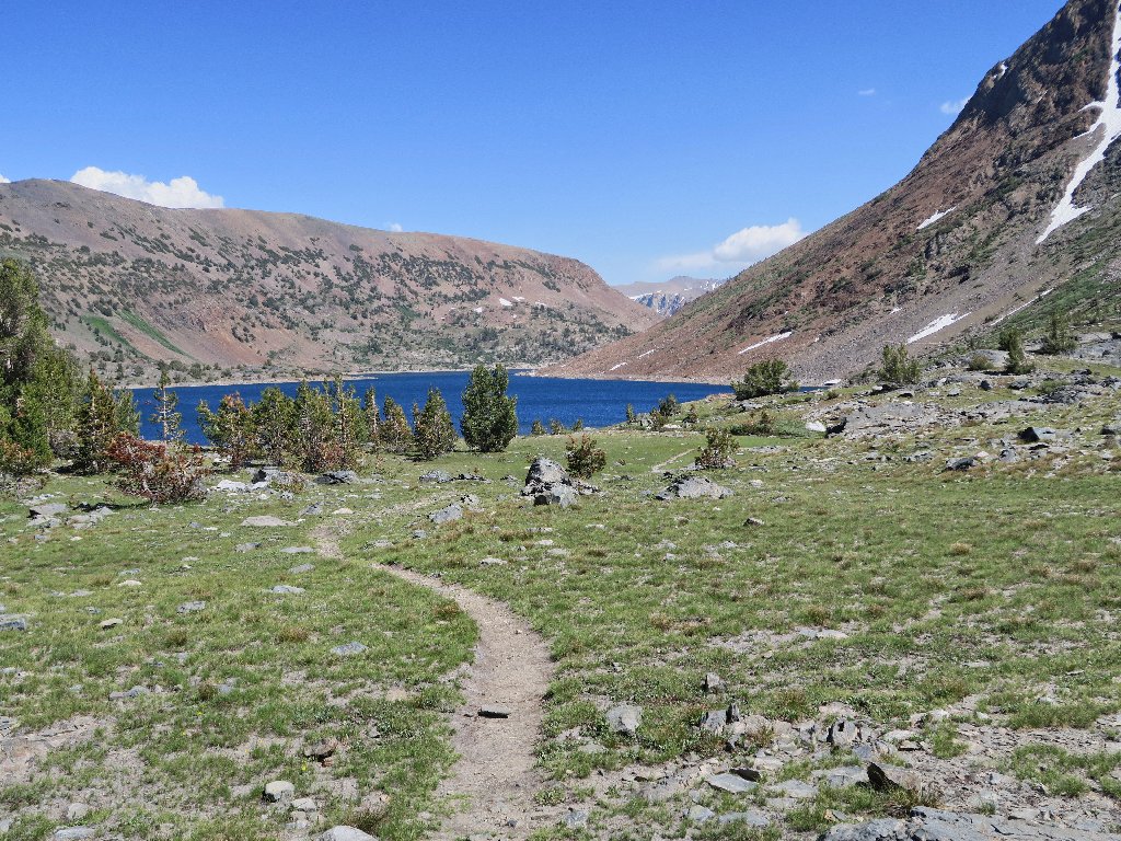
Okay. Once across the creek, I can begin this hike where it was 'supposed' to start.
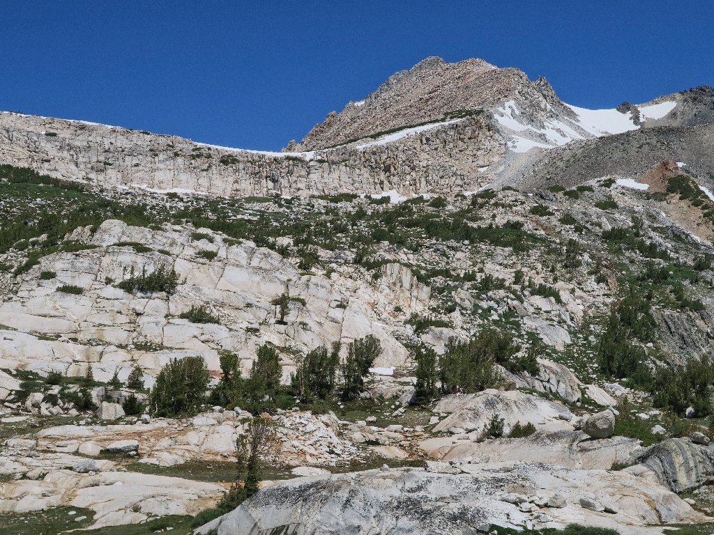
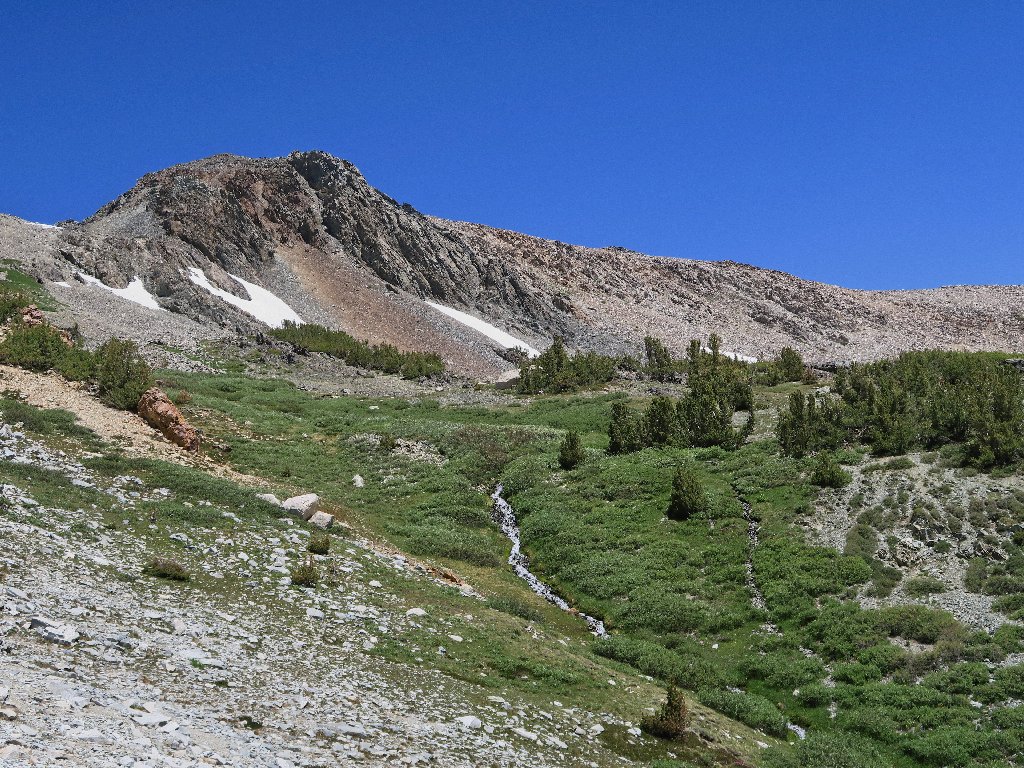
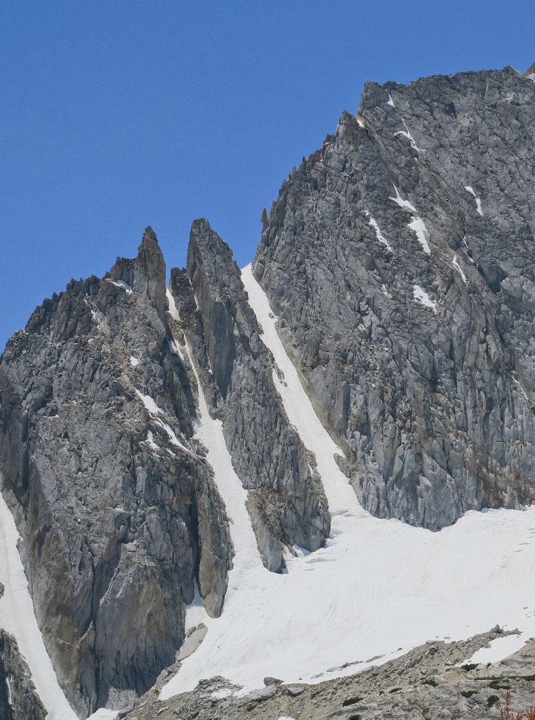
North Peak always is spectacular
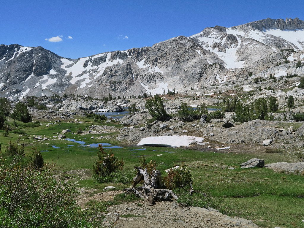
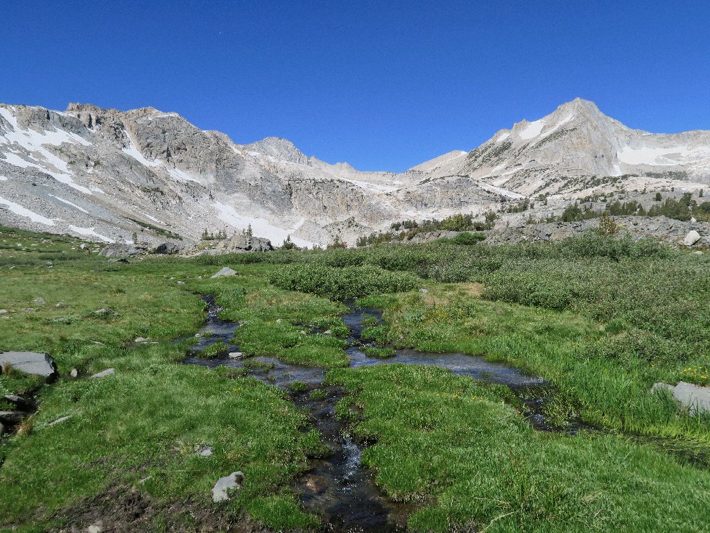
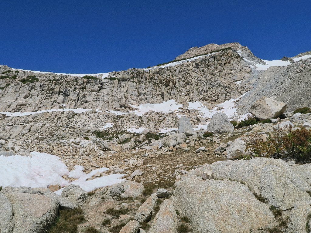
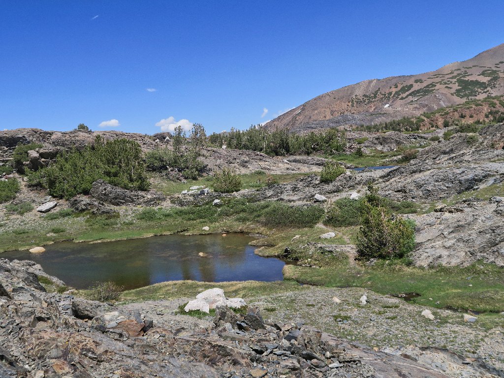
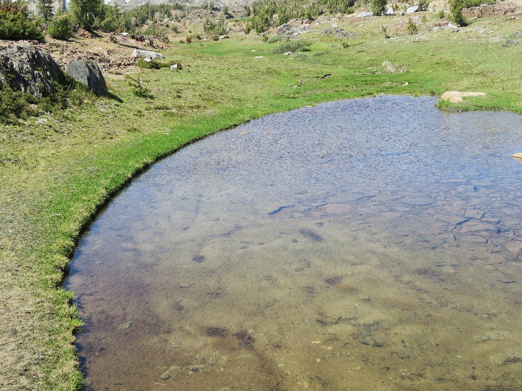
Random ponds are everywhere
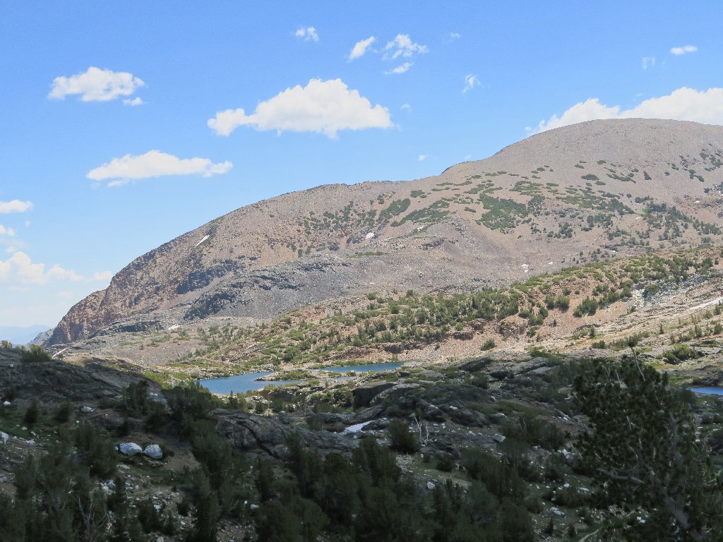
Mount Conness, 12589' is the tallest peak between here and Mount Shasta
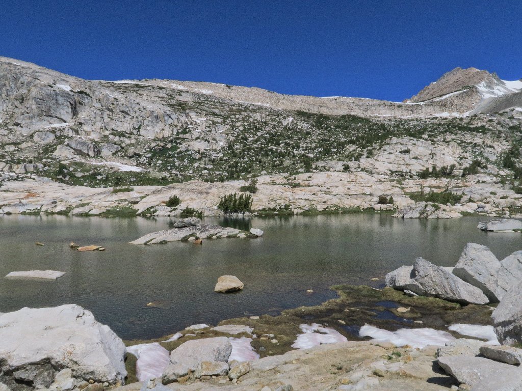
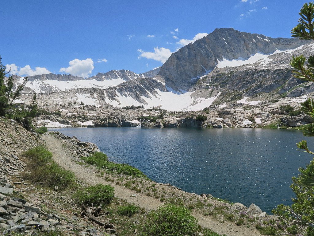
Wasco Lake is a personal favorite
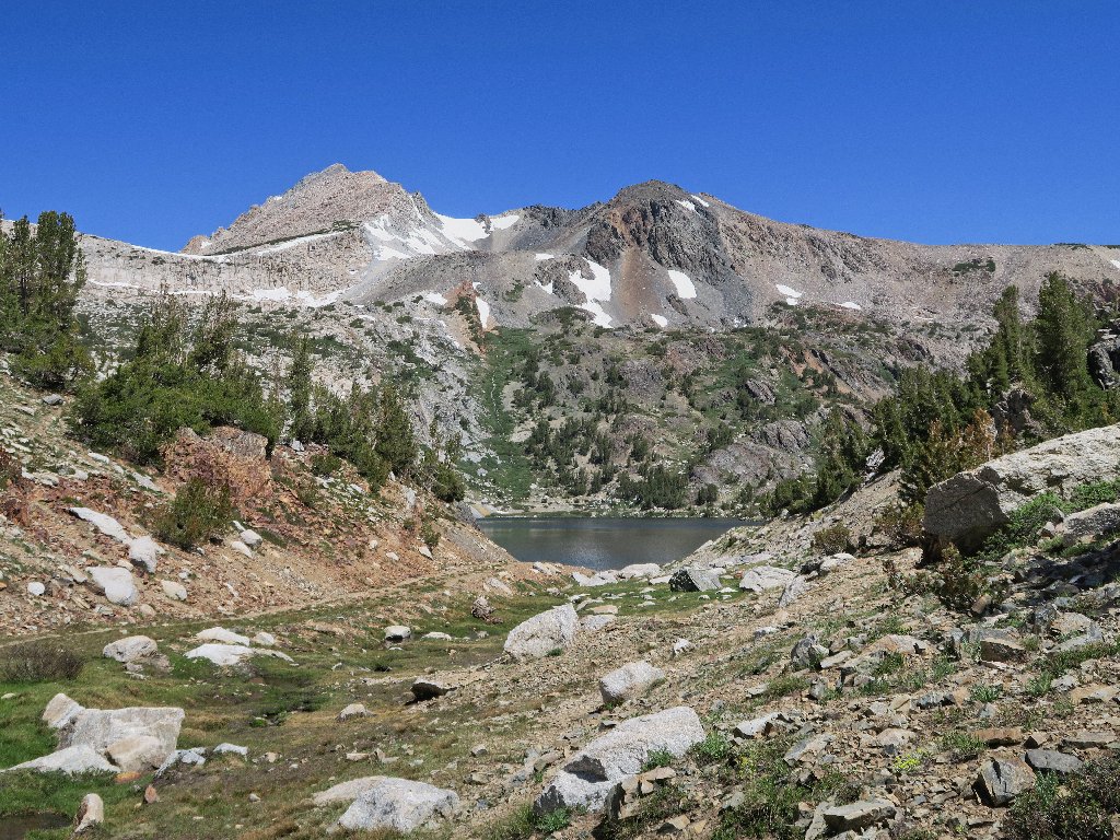
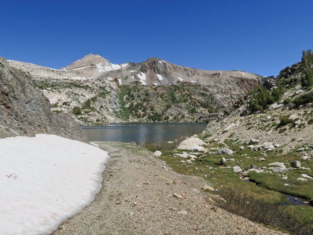
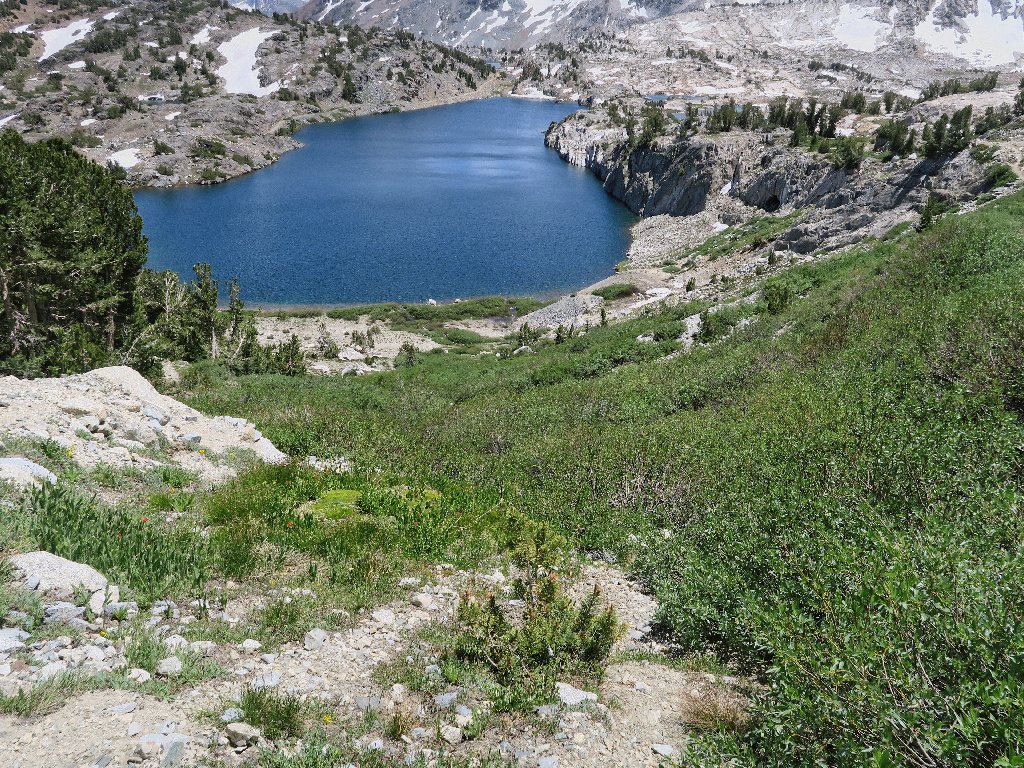
Steelhead Lake appears below Excelsior Mountain, 12446'
Today's bucket-list objective is the slope on the far side of that lake. There is another 'secret' lake up there, and doubtless some outstanding views as well.
Circling around the 'back side'
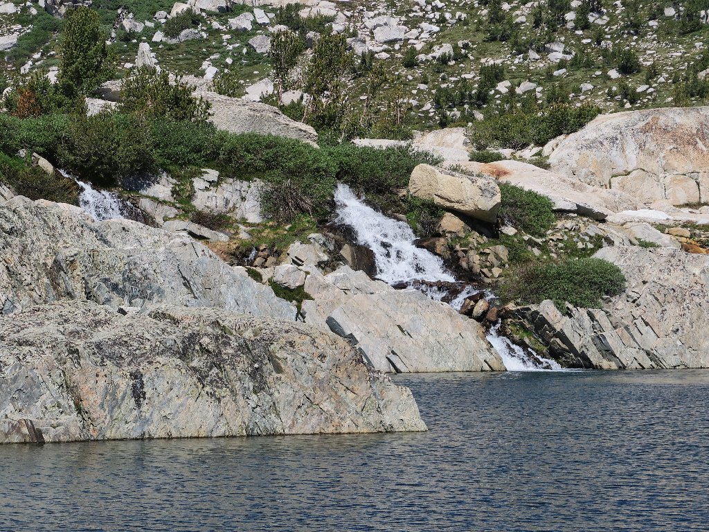
Steelhead Lake Falls appears
I elect to clamber around this snowdrift
Heading up for a look-see
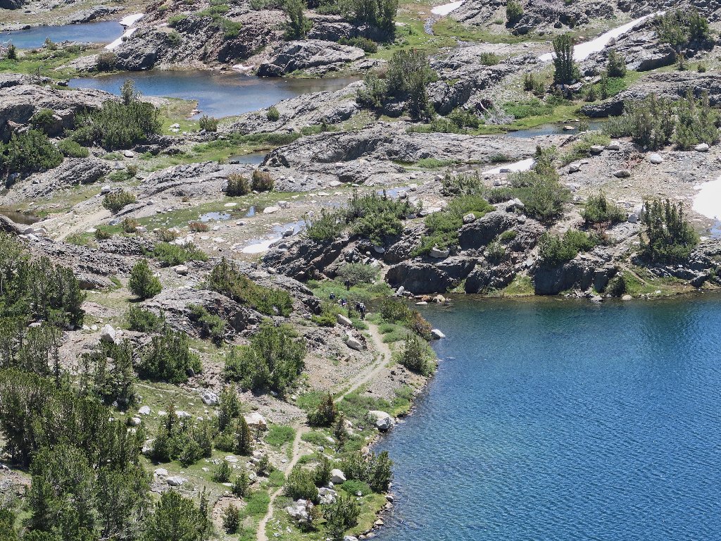
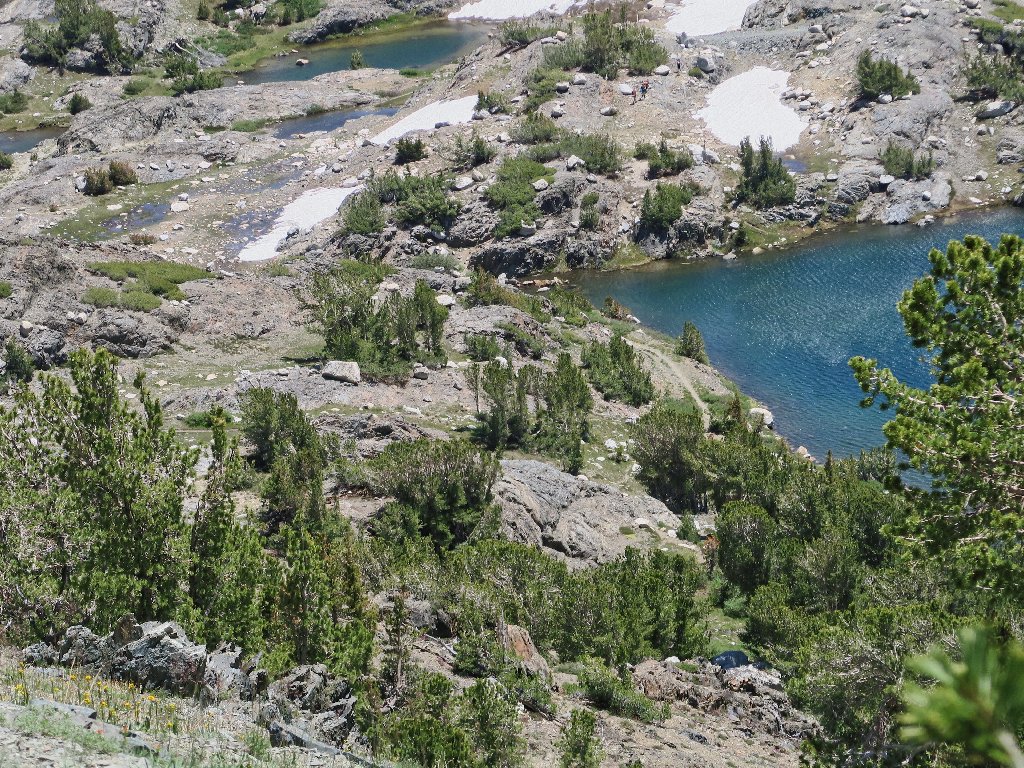
Over here, there are no fewer than three distinct lakes, invisible from the main trail on the other side of Steelhead Lake. Having had no adequate map on my first walk through here in 2006, I had passed right by them, oblivious of their existence.
Potter Lake
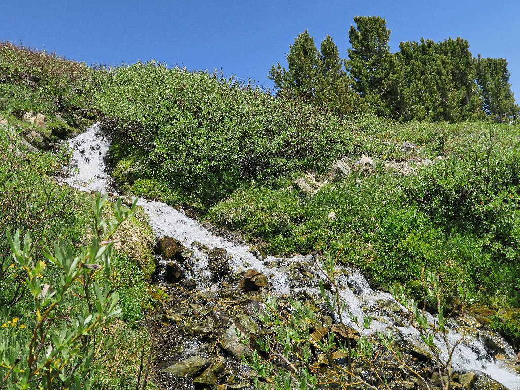
Emanating from the North Peak Glacierette is a wonderful series of waterfalls.
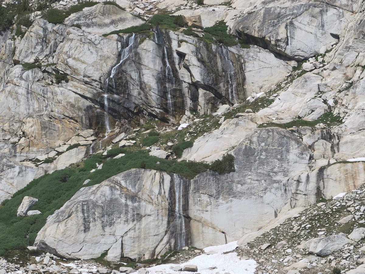
This water eventually feeds a powerhouse below Lundy Canyon
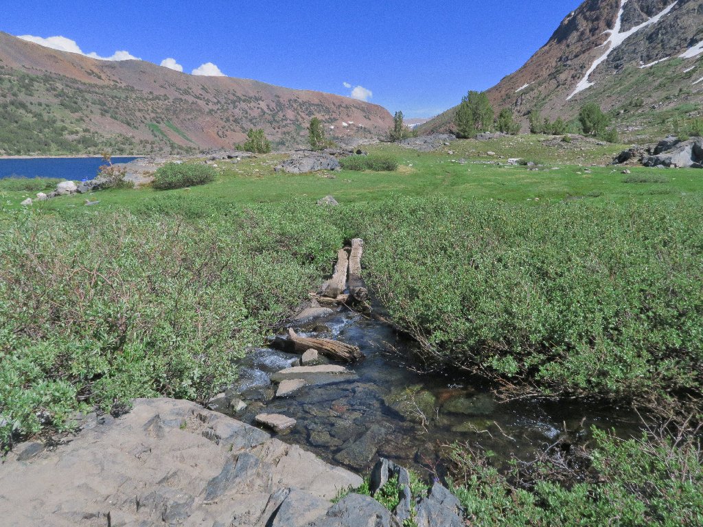
I must pay a closer visit sometime; meanwhile, the objective is to navigate the granite boulder bridge that separates Steelhead Lake from the others. I don't know whether it even can be done without treading water.
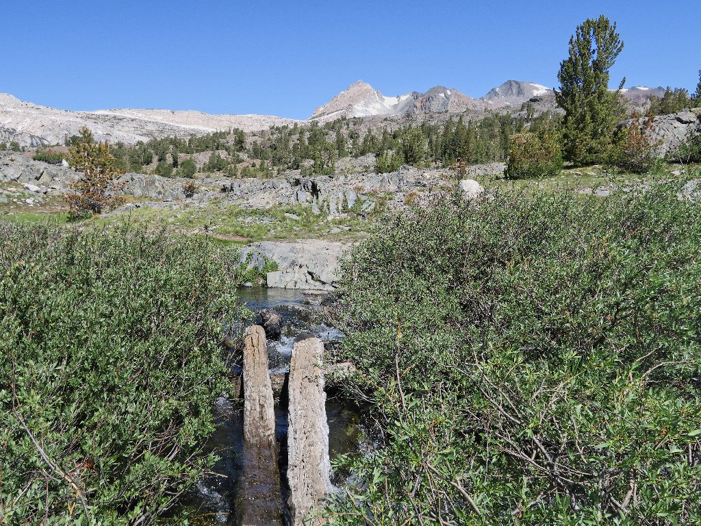
A fun crossing of the new Mill Creek
Preview of the upcoming challenge
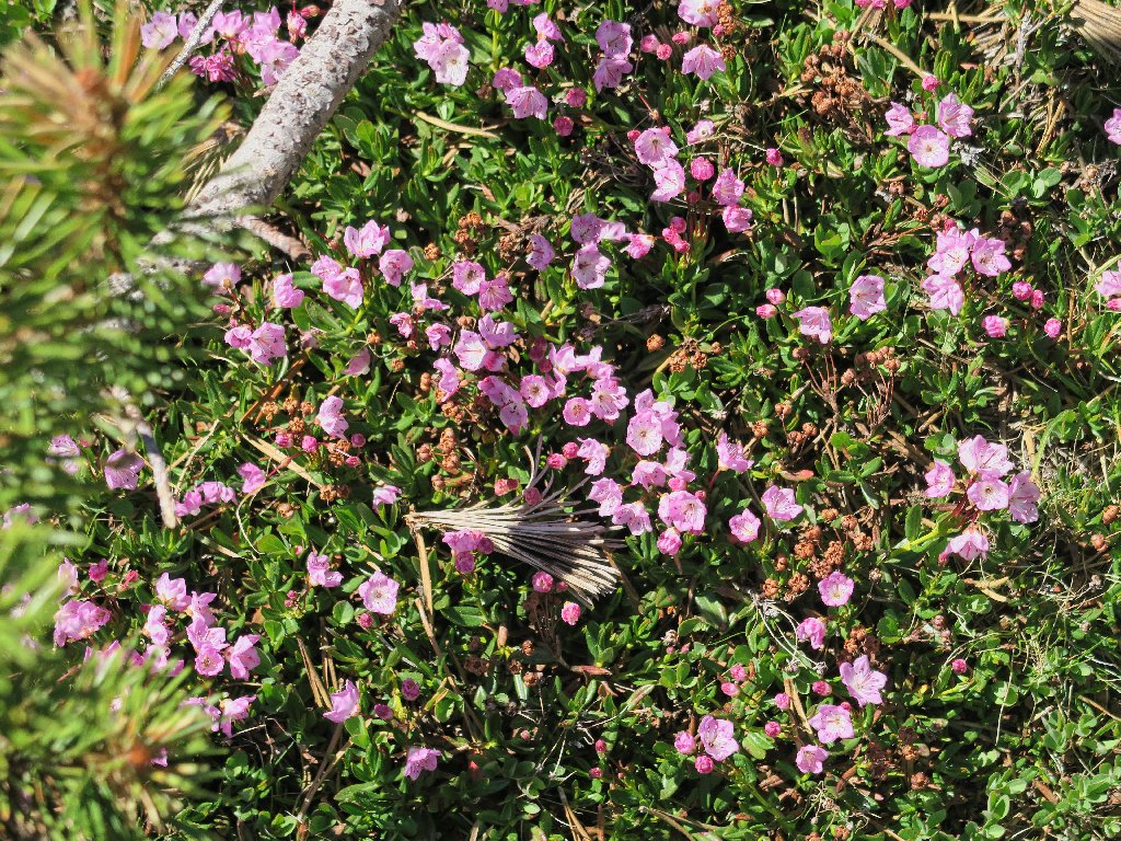
Mountain Laurel
Towser Lake
So far, so good. This obstacle course among the boulders is working out.
Not this way
Well, that's over, and it was a lot of fun.
The course is clear now
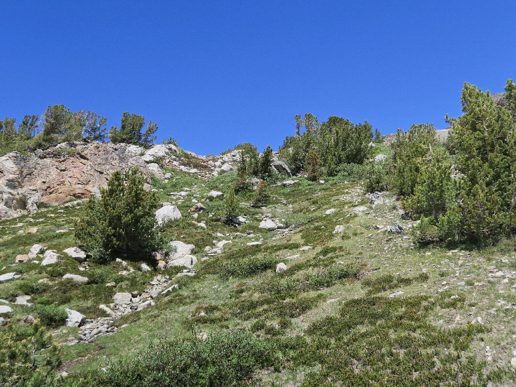
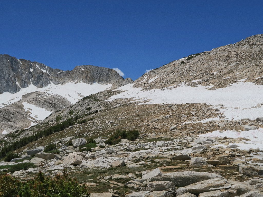
The crux of the mission is at hand. Having no clue as to the best approach, I opt to follow an old trail for a time. After gaining some elevation, the views begin to change.
Shamrock Lake appears to the east
When the use trail turns eastward, I must leave it and tackle the slope to the left. It might be easier to backtrack a bit to a more friendly spot; but the steep rock passage just above me doesn't look too bad, so up I go.
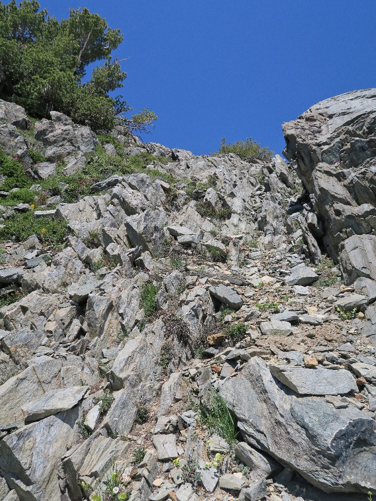
This proves rather more difficult than it looks
Wow. The cliff I just climbed is so steep that I cannot even see it now from the top. Of course, it also has taken its toll on my energy level. Why do I do these things to myself? It's all in the spirit of adventure, I suppose.
I'll not return this way
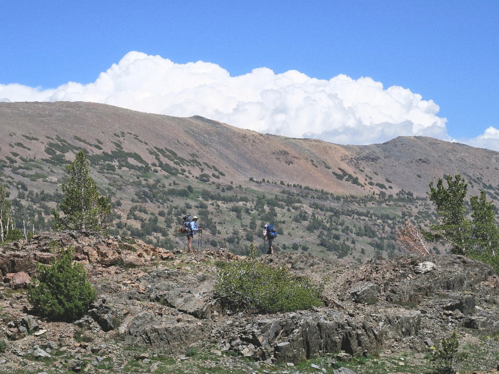
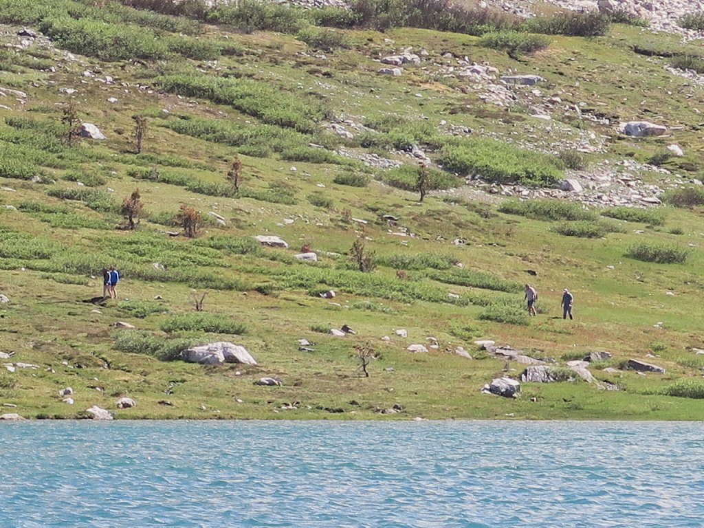
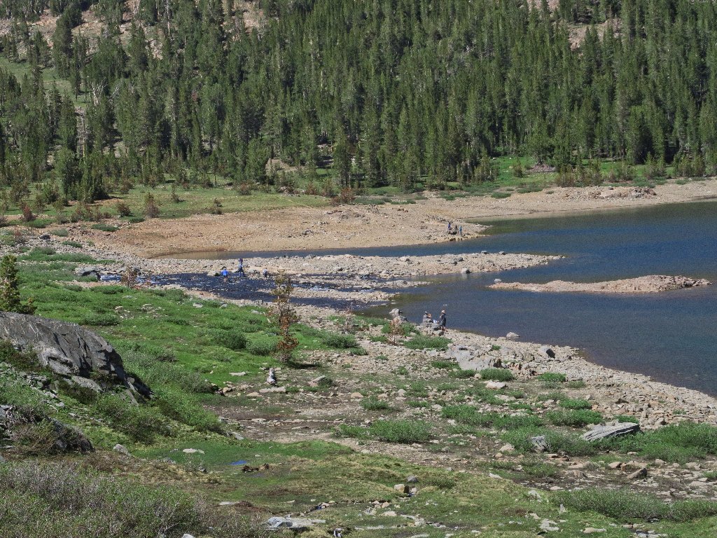
Below me is a sizable group of backpackers approaching the Steelhead Lake outlet.
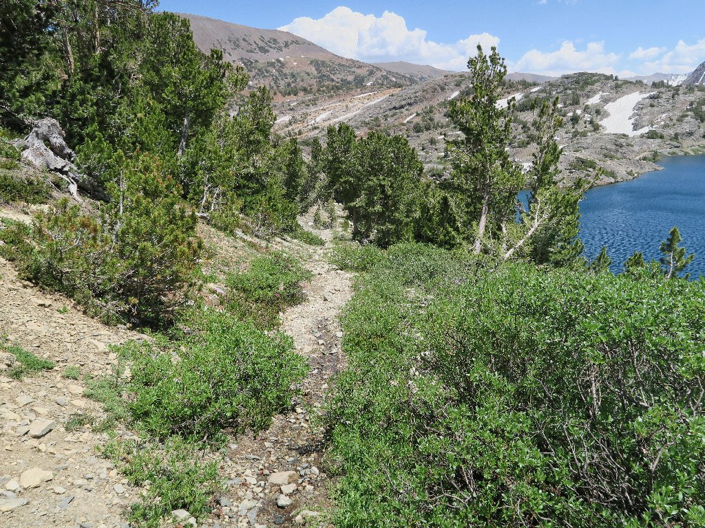
On the trail (center photo)
More important is the route up this hill. The going, albeit still quite steep, is much easier now.
This is more like it
It is fun tracking the progress of the others, though. Now they are heading south on the main trail.
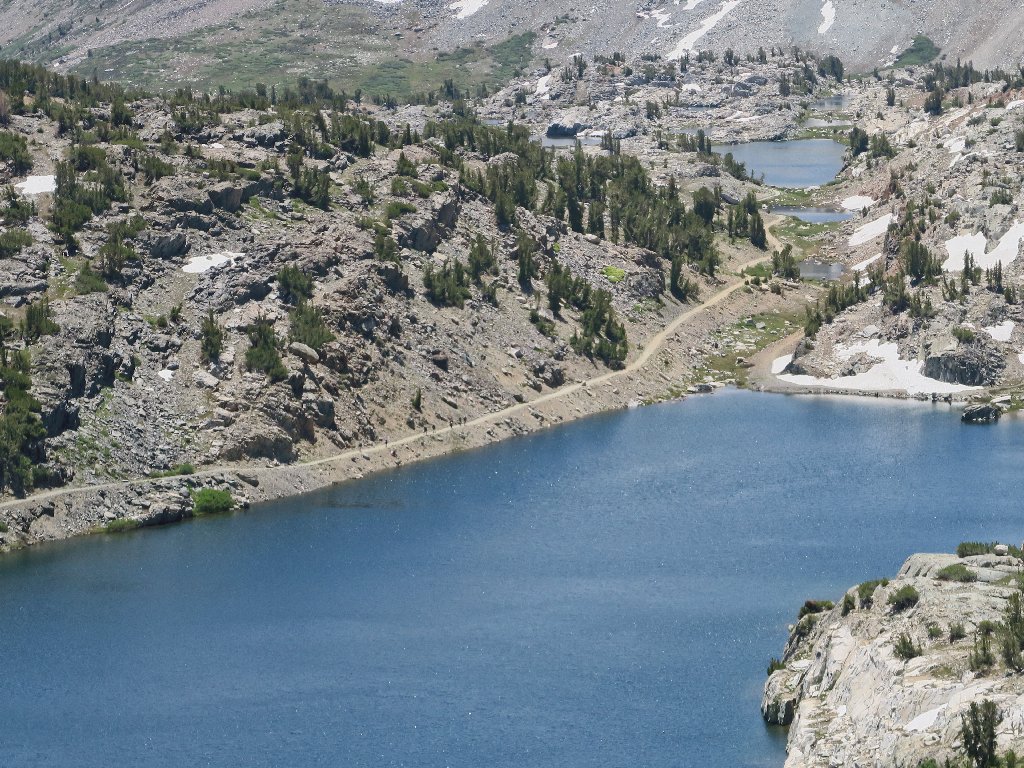
I count eight of them (one is sitting beside the water)
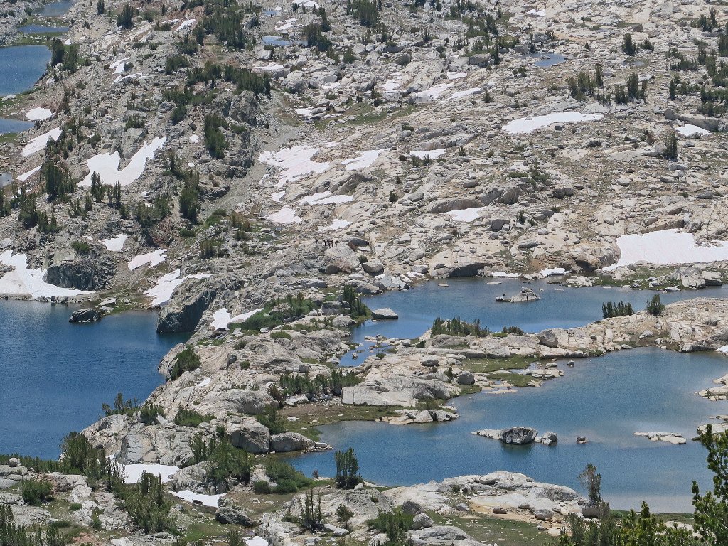
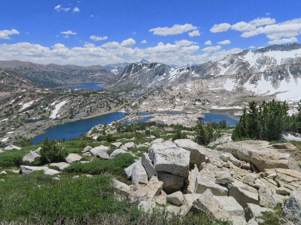
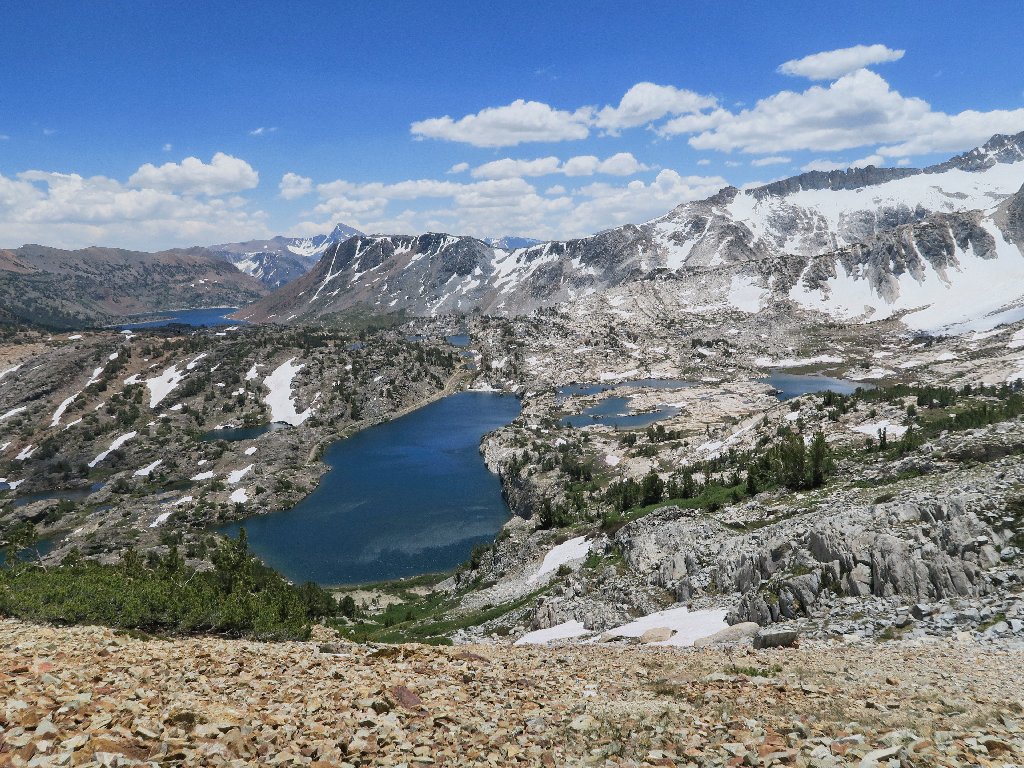
Of course, the scene just keeps getting better. I have viewed the basin proper from the south more than once, but never from the north.
This is a treat
I have called that one "Rainbow Mountain" in the past
Now the hiker group has departed the trail for a scenic detour.
They are just to the right of that snow bank that I avoided
The trickle is the easiest passage
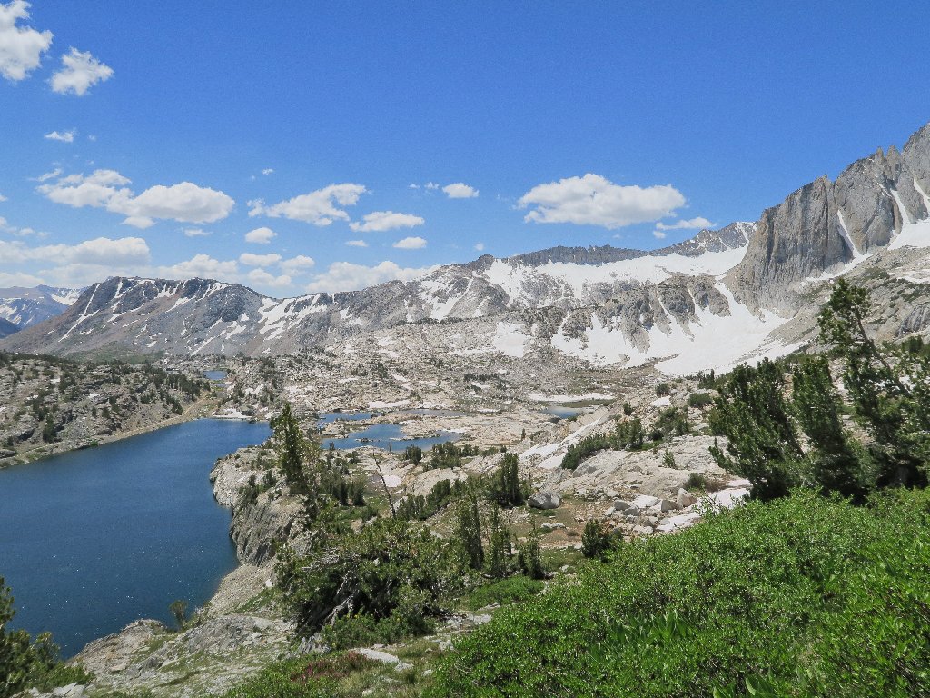
Now the view is magnificent. And to think that I was still asleep in Sacramento just seven hours ago!
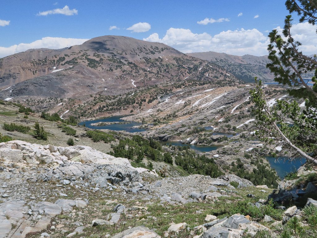
First view of Cascade Lake, on the far right
Behind that ridge on the right is my beloved Conness Lakes Basin.
A walk up there scores a '10' every time.
Why are so many of these things rectangular?
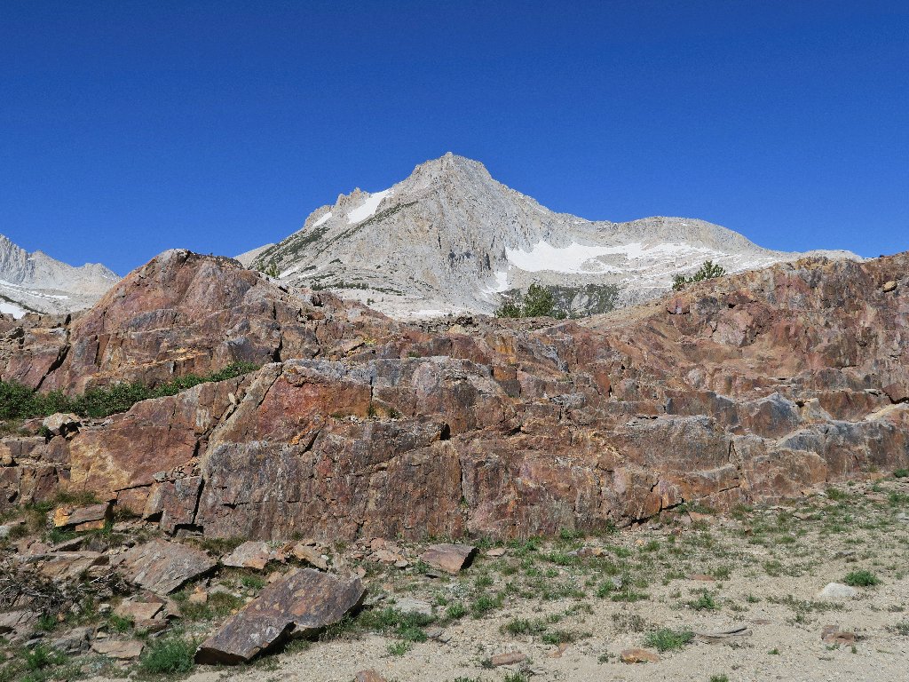
At least I don't have to climb up that
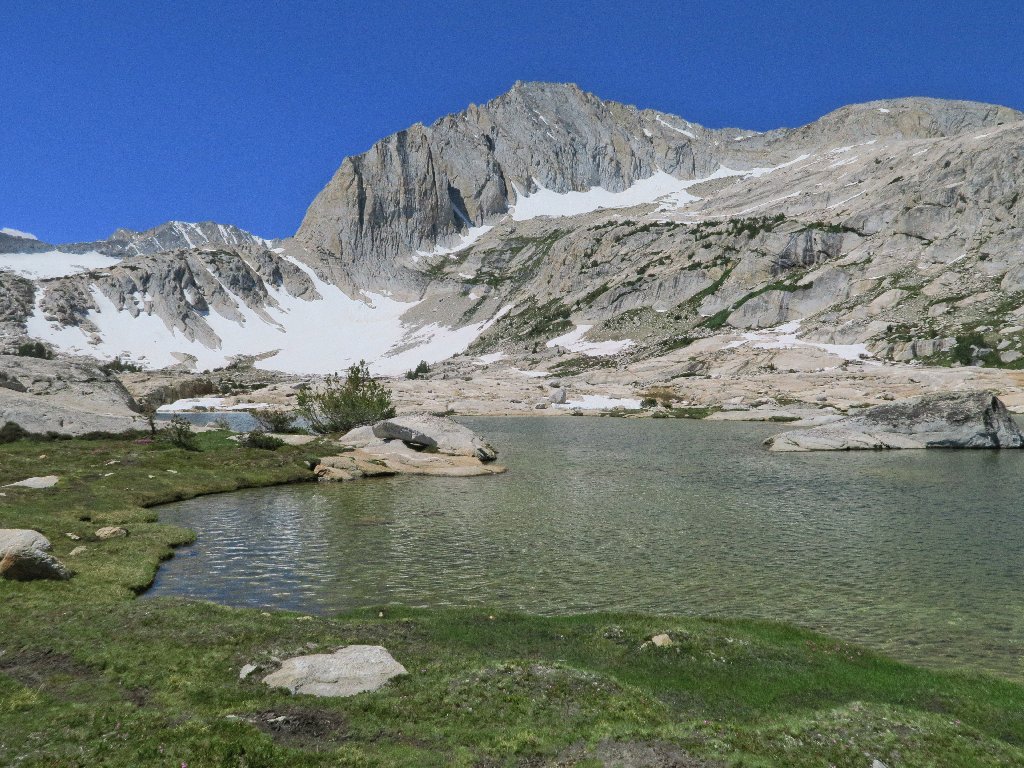
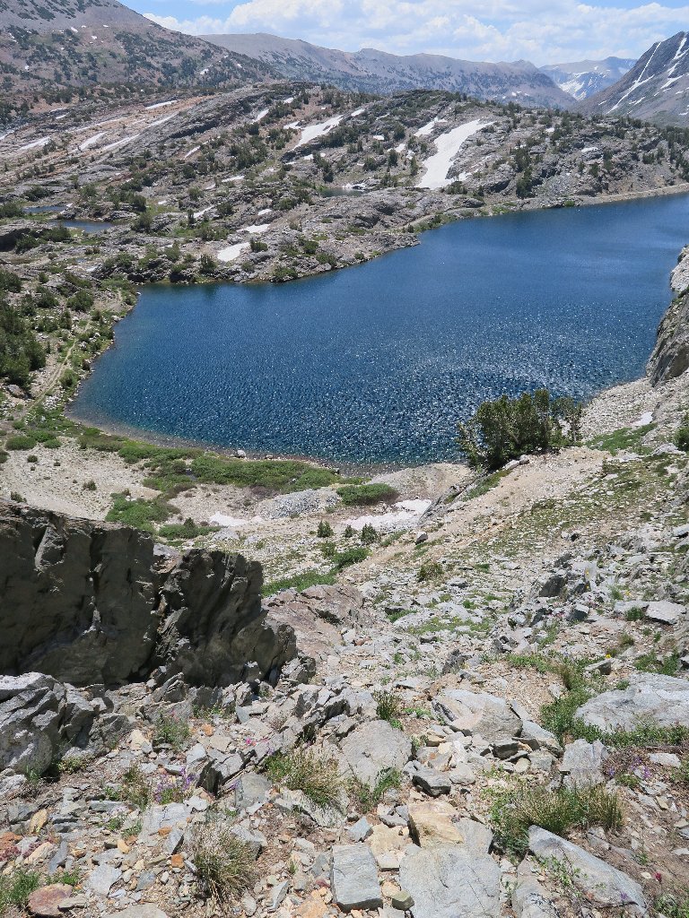
Nearing the objective. That cliff is the Yosemite Park boundary.
Eureka! Not many people other than serious mountain climbers tend to visit this place.
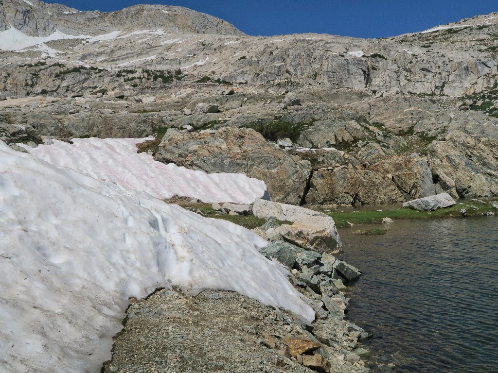
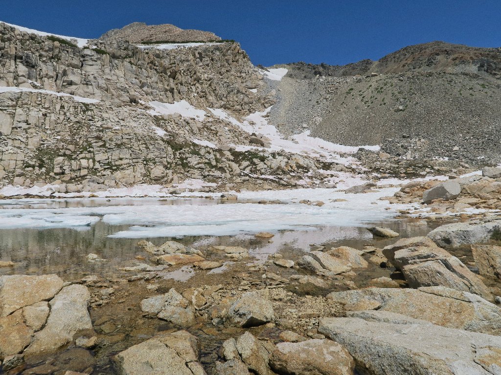
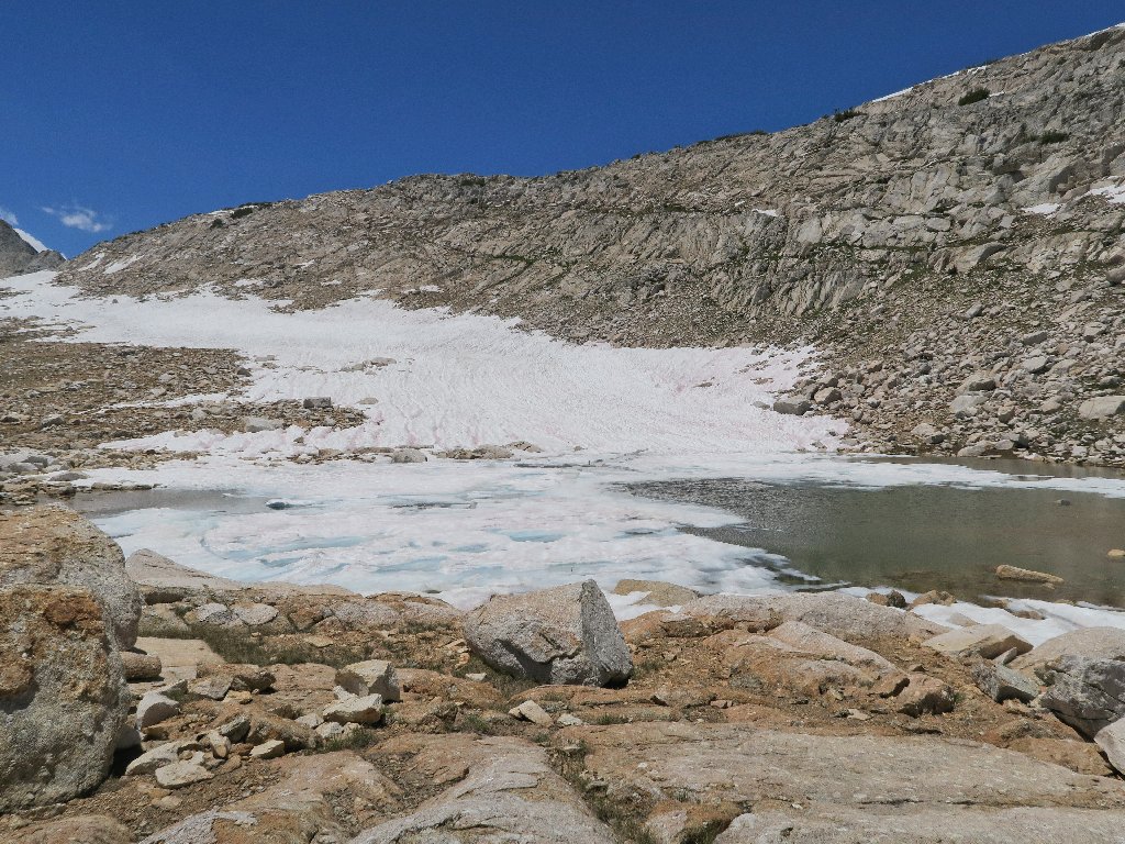
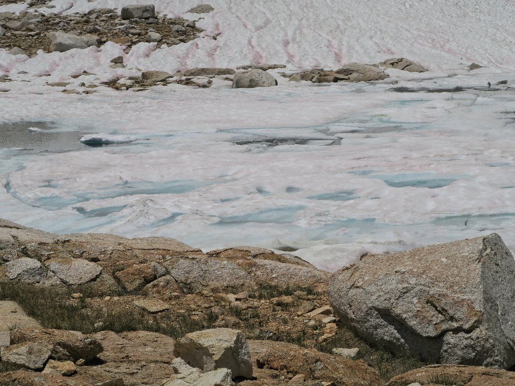
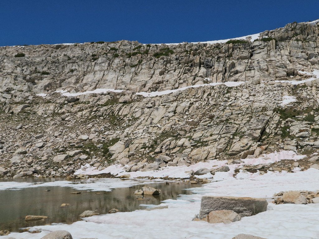
Secret Lake
If the truth be known, my original objective is a short half-mile
farther on, up to a spot where I could glimpse over the granite wall for a
bird's-eye view of the big Upper McCabe Lake. This little guy was
supposed to be just a fringe benefit.
The angled snowdrift points the way
Right now, though, I am too bloody tired to head up there. Yes, I started the morning at elevation zero, and now I'm at 11,000 feet; but I always had factored in that effect without much ado. I really do seem off my feed today though, which is most disappointing. Of course, a more adequate (less voluminous) diet would mitigate these sorts of issues.
I have climbed only a thousand feet altogether, but it seems like more
Still debating
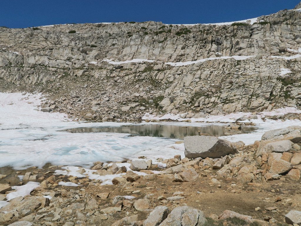
Still frozen
After more soul-searching, I decide to listen to my body, which is saying,
"Don't do it". Four more miles of cross-country trekking remain on
the docket, and I must find a different way down this 600-foot slope.
Perhaps I just won't tell anyone what the original destination actually was.
It'll be our Secret, lake
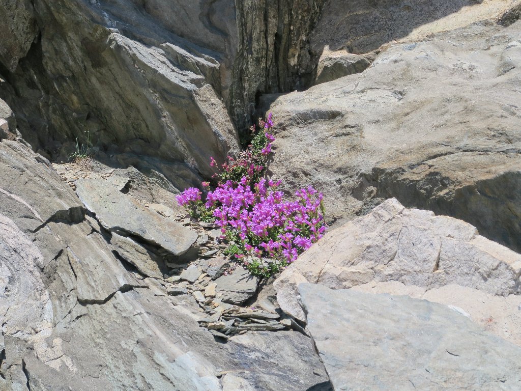
Mountain Pride
The next objective is over there, above the orange slope
I want to head downhill in a more easterly direction; but my search for a nice,
grass-laden route out of here doesn't pan out, because there is a sheer cliff
between myself and the creek below. All that is available is a big pile of
scree, which of course is not the preferred choice. Before starting downward,
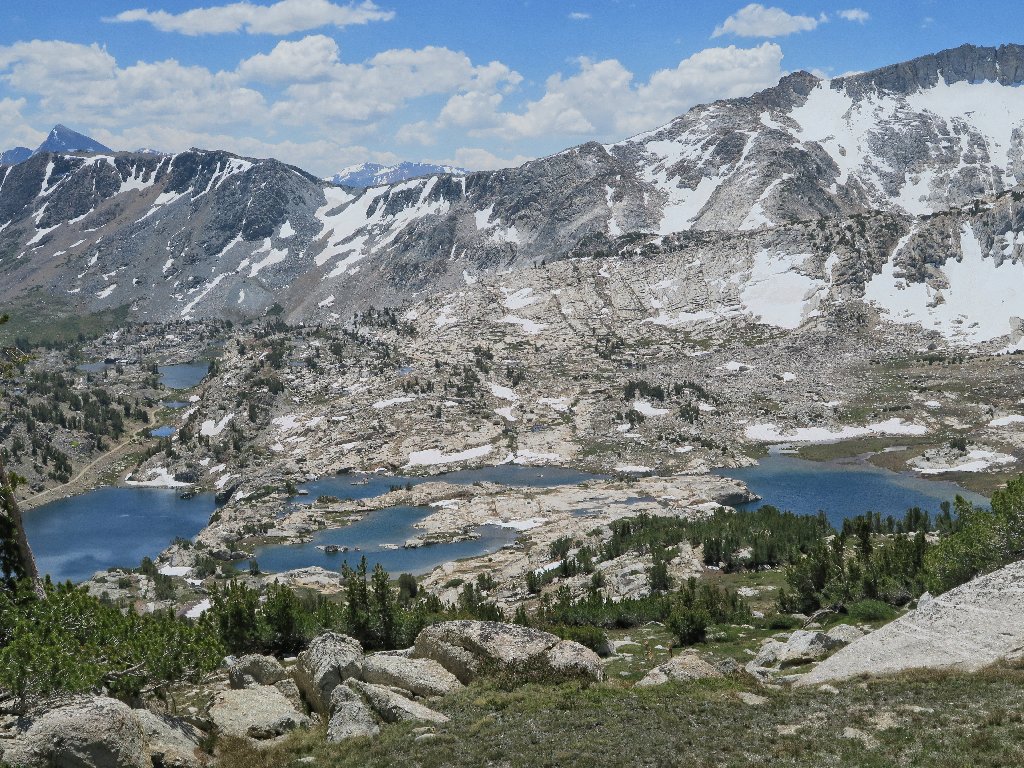
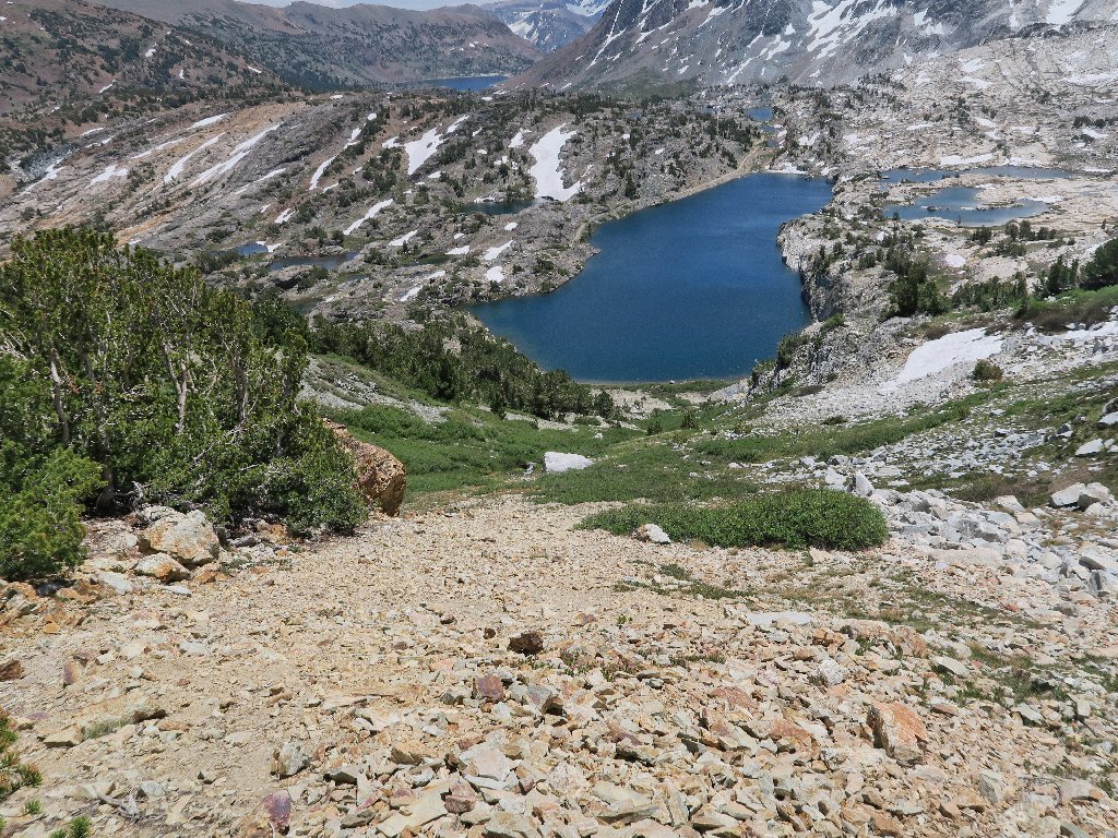
I take some more time to soak in what might be the best overall view of the Twenty
Lakes Basin proper.
About as good as it gets
All of this also was in Yosemite Park, back in the distant past.
Plunging down the scree
Colorful

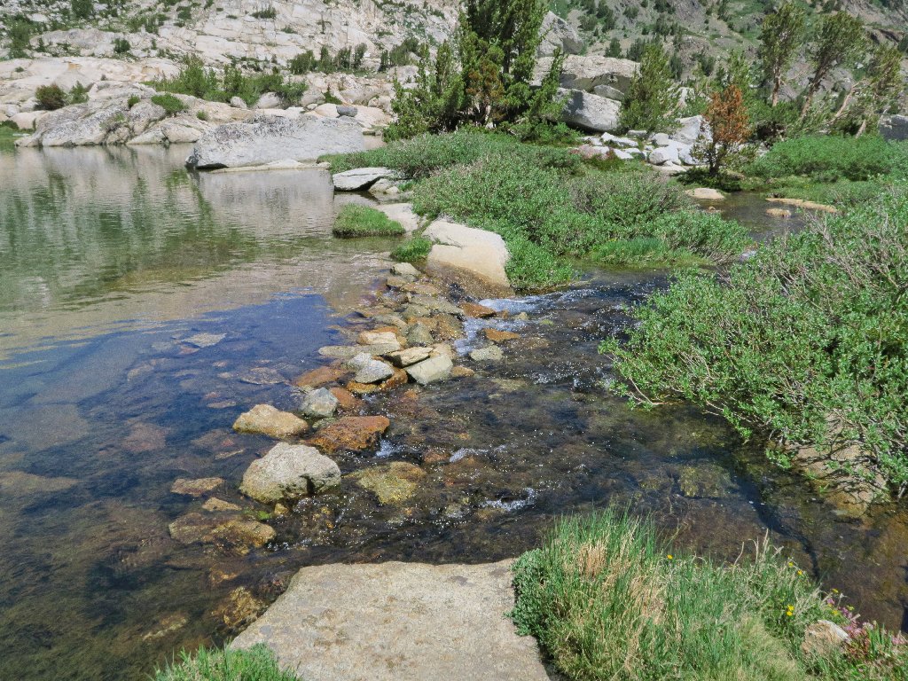
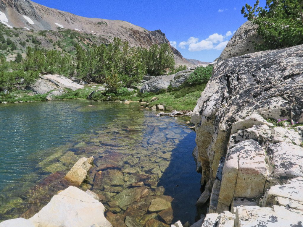
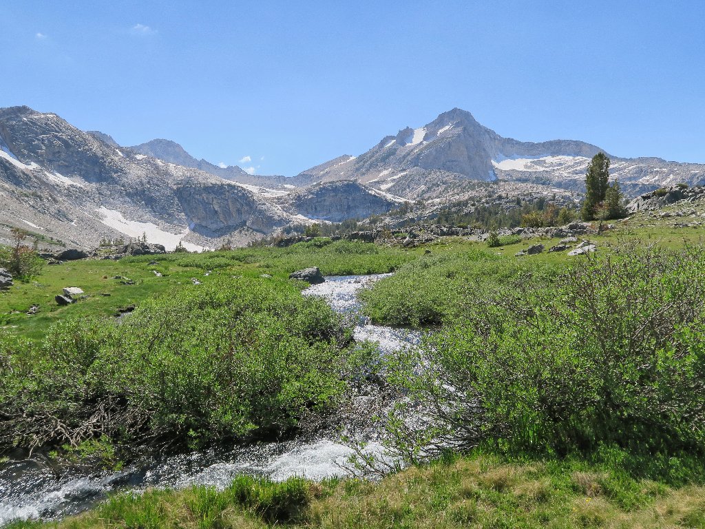
Crossing the pretty stream
I take it back. The view now is even better than the other one, as it includes the cascade and a better look at the Conness Glacier:

This is why I go hiking
Another group of visitors is passing by below. Who is having more fun?
More backpackers (top center)
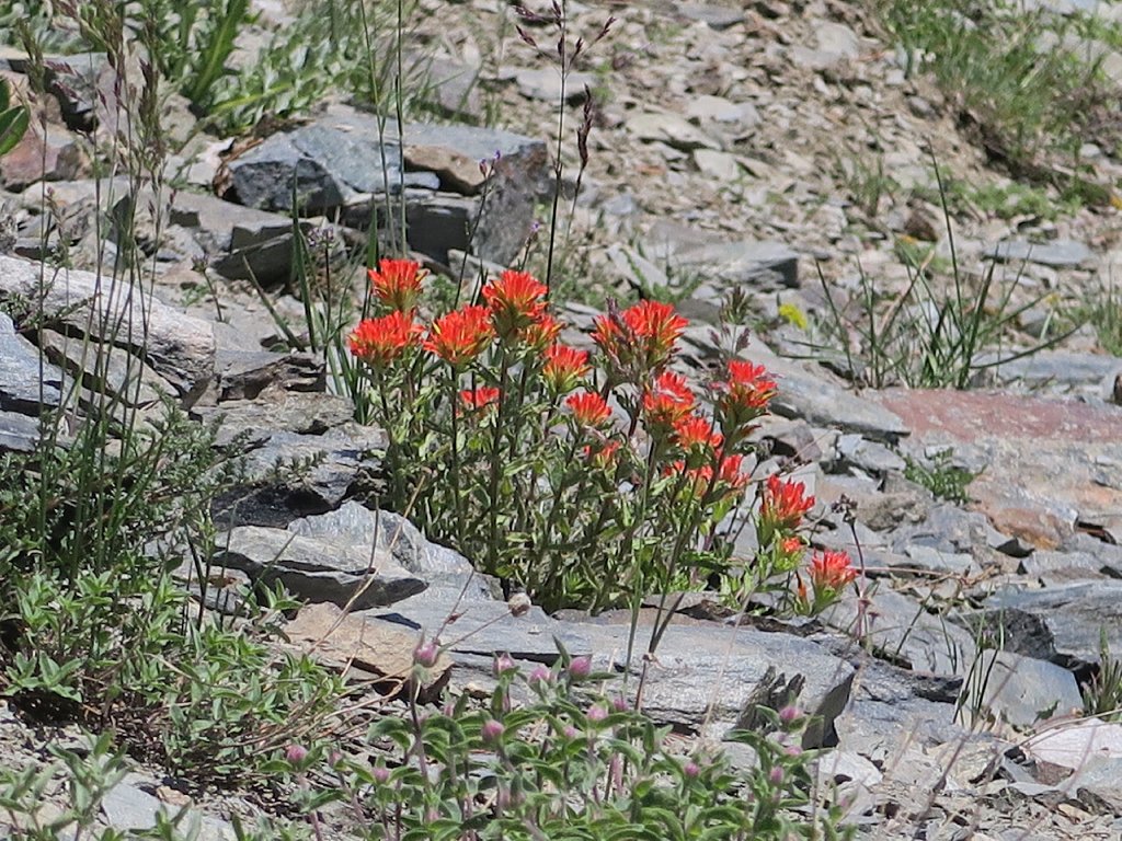
Wavyleaf Paintbrush
I have been avoiding the usual flower close-ups, because today's choice of camera simply cannot handle them (see Addendum).
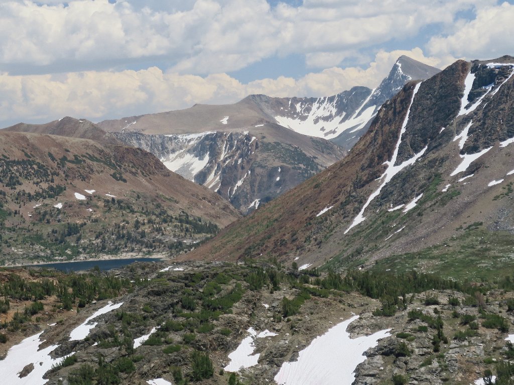
The Dana Plateau and Mount Dana, 13061'
The mountain itself is in the park, yet the plateau is not. In fact, it's in a different wilderness from this one!
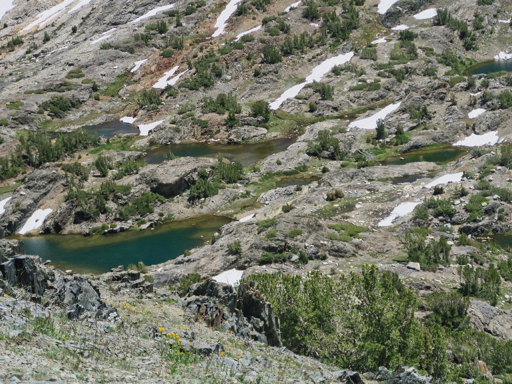
A rhapsody of tarns
This big downhill is nearly finished
Crossing again
The going is easier now
On a little-used trail
This is where the eight backpackers were first spotted.

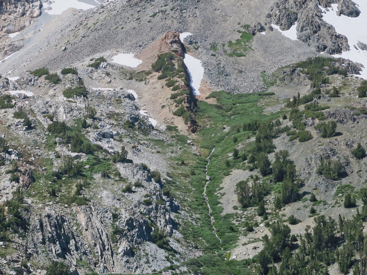
Mill Creek is heading toward Lundy Canyon
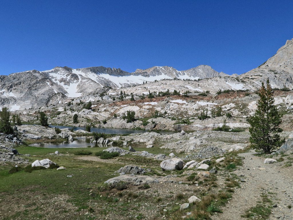
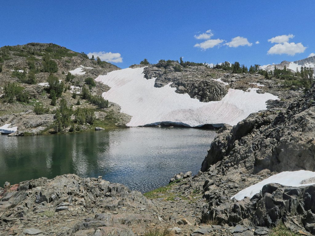
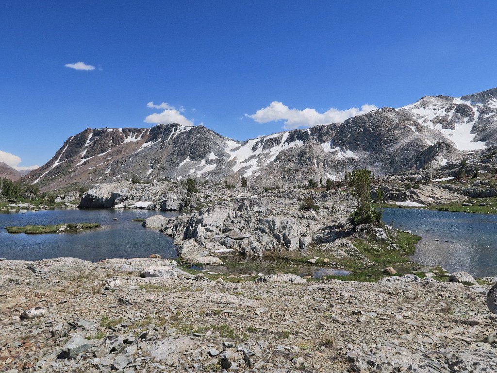
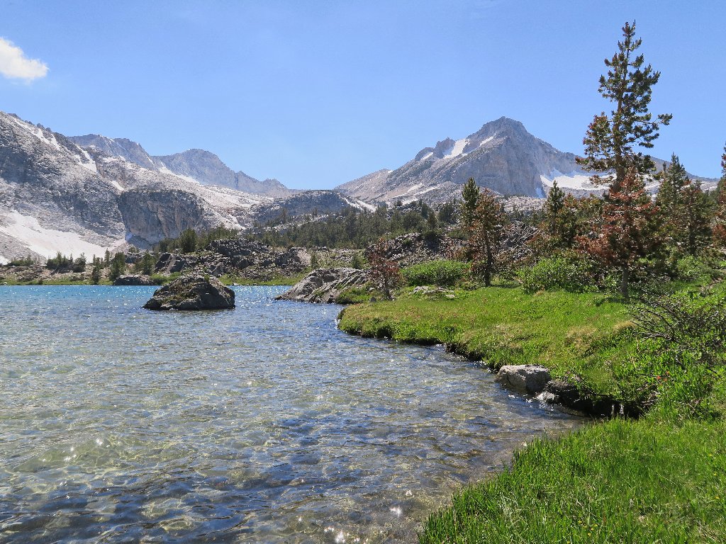
Excelsior Lake
From here, I had planned to head over and visit the Twin Lakes for the first
time ever; but once again, extra up-and-down clambering over the shale fields
does not appeal. I'll save that tidbit of previously uncovered ground for my
next visit.
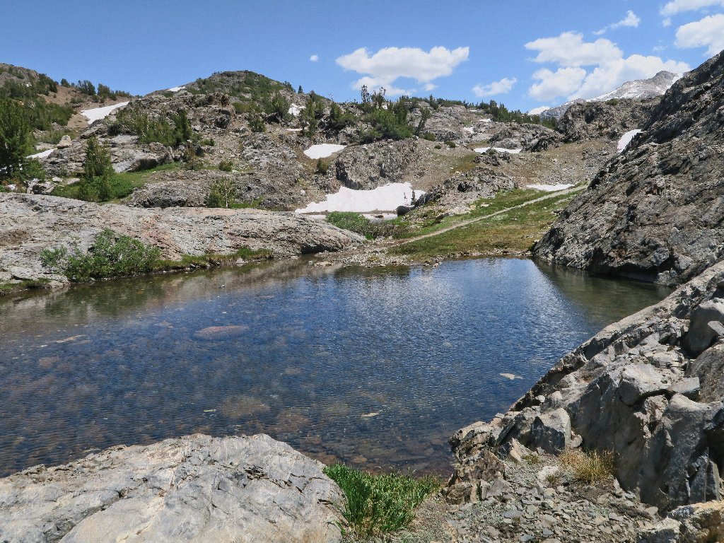
Unnamed pools
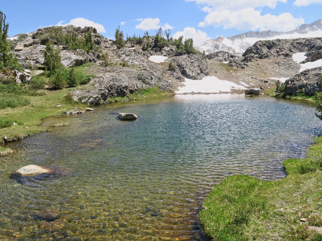
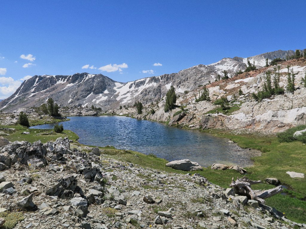
The prettiest lake of the day
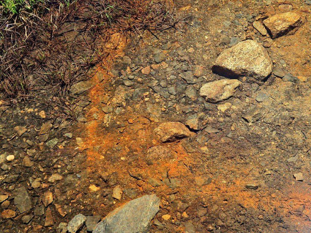
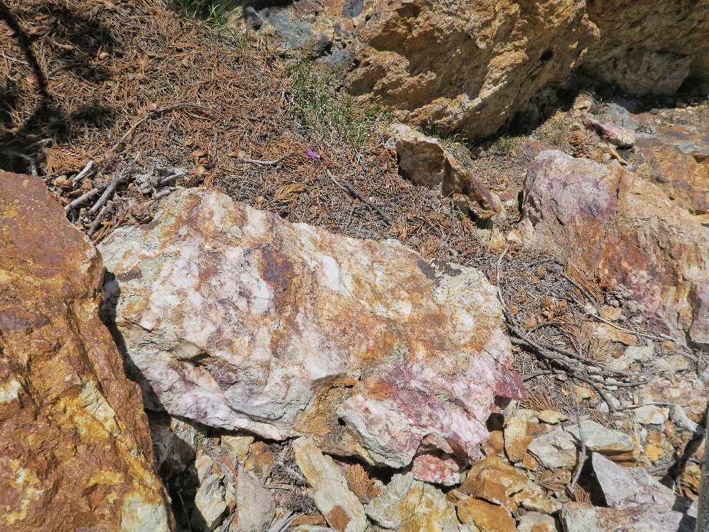
Iron oxide at work underwater
I had not seen Hidden Lake previously
It takes but a minute to get from this lesser-known attraction over to the shore of Steelhead Lake.
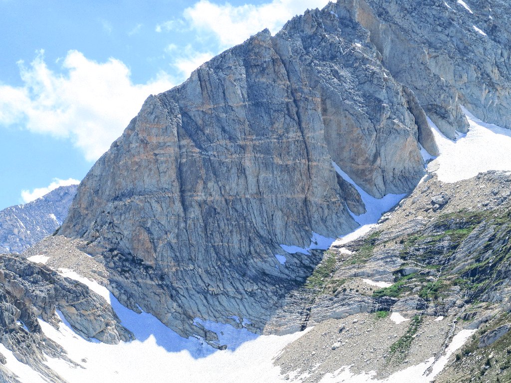
Amazing patterns on North Peak
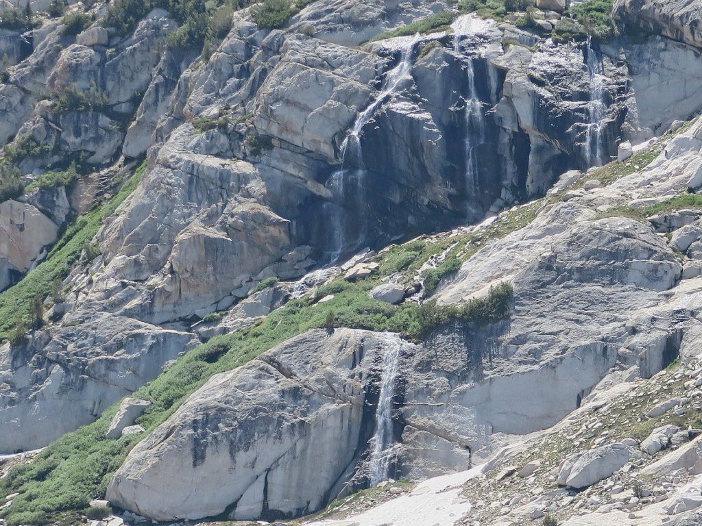
Glacierette Falls reprise
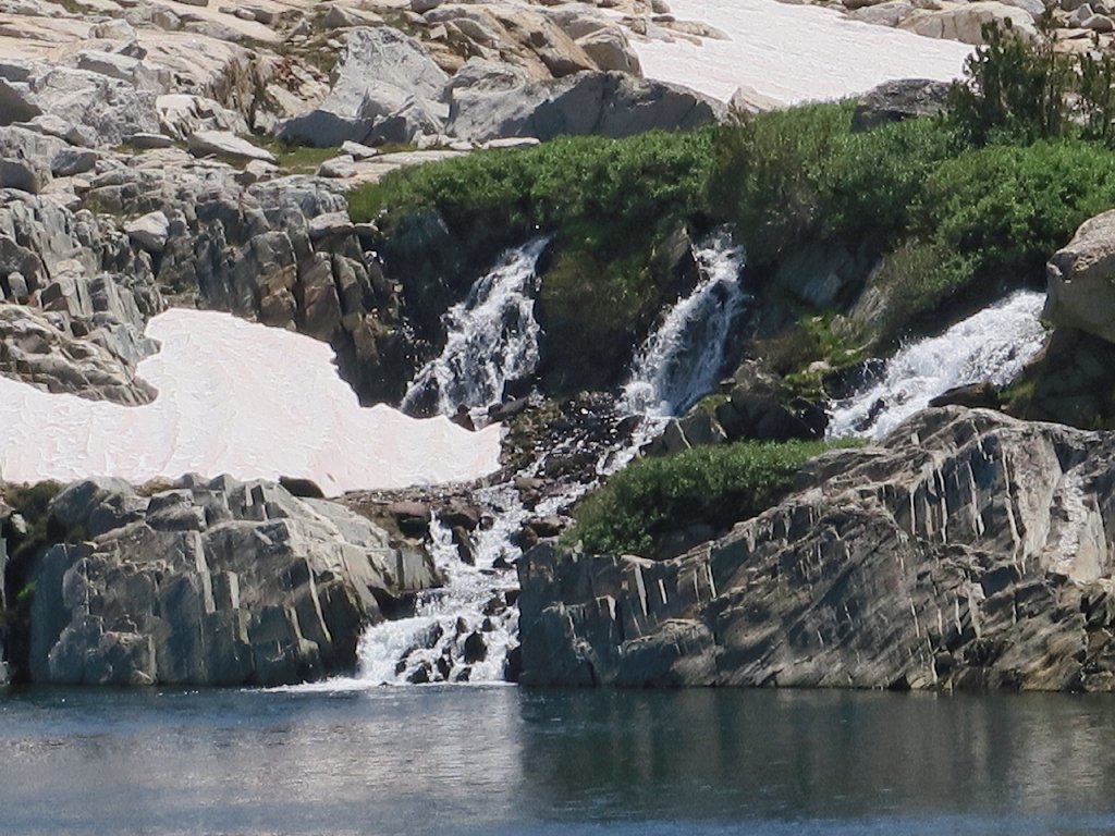
Steelhead Falls reprise
It should be pretty exciting to clamber up that willow-laden talus and get
close to the trio of upper falls. I resolve to do just that —
but not today.
Sierra Penstemon line the walkway
Only now am I able to look back and see just what I did to myself recently:
My erstwhile route — down the brown scree and over to the green scree
The hard work is over now, so I can relax a bit. In fact, that's all I want to do from here on; yet the car still is two miles away.
An interesting pattern in the broken orange boulder up there
⇔⇔
Continuing down close to the tarns is a lot more fun than remaining on the trail; I should utilize this route every time.
Wasco Lake (right) is overflowing to the left
Chatting up a storm
Elegant
Back on Hike #1
some twelve years ago, I shot a picture of three lakes in a row. It has taken
until now to re-discover this spot, because I always had returned to the
trailhead by a different route.
Three-lake reprise
The original photographic angle was better, though.
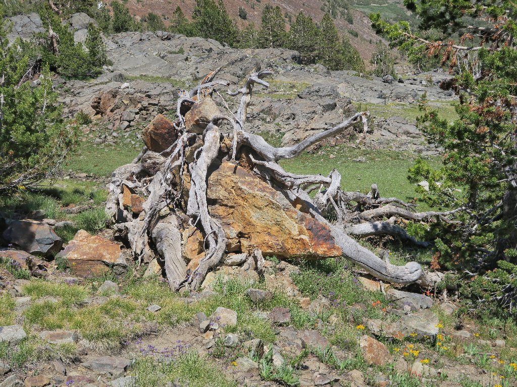
Is that root protecting the rock?
Back beside Greenstone Lake
Across the water are some folk on their own unofficial path.
Returning from the general area of Conness Lakes Falls
Back to Saddlebag
Forgetting the layout and possibly from force of habit, I take an errant turn here, heading down to lakeside where the boat dock used to be. There is no place to cross the big creek here, so I must venture back uphill to locate the ford. I didn't need this extra work right now.
Backtracking to the crossing
There it is
Those other guys don't care about wet feet
From here, it's a long mile and a quarter of slogging. Even though the route is relatively flat, I pause at least seven or eight times for a breather. These compelled stops serve as a good reminder of why I didn't venture the extra distance up at the top. I'll be asleep pretty early tonight.
The good...
...the bad...
...and the ugly
§: Well, the old lungs were tested in earnest today. My feet and
knees were fine, and nothing else aches either. Relative acclimation aside,
increasing shortness of breath seems an unavoidable factor of advancing age.
Also, perhaps this outing would not have qualified as a true Ted-hike
without a modicum of self-inflicted torture — namely, the
enervating hand-over-hand scramble up the shale cliff.
None of that, however, takes anything away from the glorious setting that is
the Twenty Lakes Basin, which might be more accurately designated as the Fifty
Lakes Basin. I find exploring the crystal-clear and sometimes
elusive tarns to be delightful, and the area's variety of environments and features
is the greatest of any place I know. A bit later in the season, the full
complement of high-altitude wildflowers will be out in force as well.
Also, this was a perfect-temperature day; I used a long-sleeve shirt just part of the time. And the mosquitoes didn't hassle me enough to warrant application of repellent.
Perhaps the welcome boat-taxi will be available next time, but I'll not hold my
breath. The resort, originally placed on the market at $339,000, has not sold
in a year's time, and that's not a good sign; so there is no guarantee of a reopening
by next summer. Some writers advocate usage of the east-side trail,
it being somewhat more friendly; but it is half a mile longer. I would
utilize it only for the potential variety. As previously stated, Saddlebag
Lake itself is not the reason for coming here.
| Scenery |  |
| Difficulty |  |
| Personality | |
| Adventure |  |
| Flowers |  |

ADDENDUM
If a camera is not easily usable in real-time on the trail, then it
isn't worth toting at all. That's why I am bothering to tell you this.
I purchased the Canon G5X as a potential successor to my beloved Olympus
Stylus-1, which presumably will not last forever. To my great dismay,
I have found that the G5X suffers from a hideous design flaw. Sparing you the
gory details, the camera's alleged manual-focus facility is an abomination.
Even if one can figure out how to implement it, getting a close-up that actually
is in focus is a hit-or-miss affair.
It seems that either nobody at Canon actually tested this unit in the field, or the company has succumbed to the sleazy tactic of including and advertising worthless features just in order to increase sales. The fact that the product manual is singularly vague and incomplete on the topic supports my contention.
Also, shame on all the reviewers who, for whatever reason, failed to evaluate this unit competently.To be fair, the G5X does most things very well; that's why I bought it.
I just cannot plan to do any manual or close-up focusing with it, which means
that it is utterly unsuitable for my style of outdoor enjoyment.
