
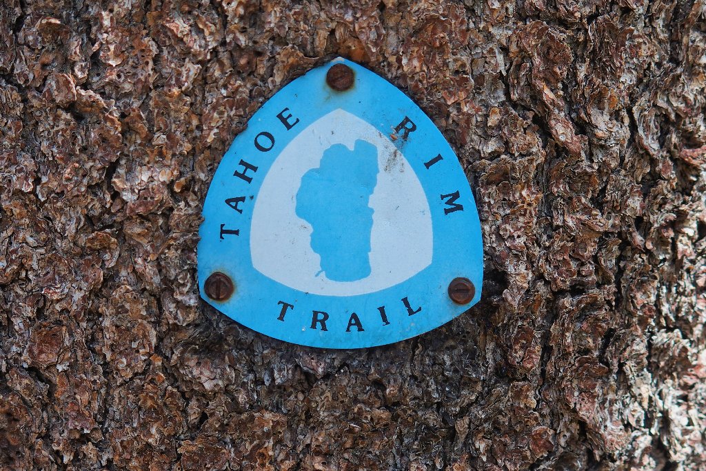
Eldorado National Forest
|
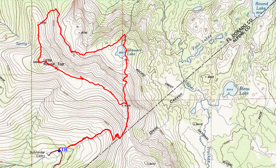
Little Round Top Eldorado National Forest |
September 14, 2017
Six years ago I met a couple, Howard and Traci, on the Stevens Trail near Colfax. Subsequently, Howard and I have communicated sporadically, mostly about flower identification. I figure that a mutual hike is past due, and they have agreed; so today I am meeting them near their home in Cool. A friend of theirs named Jack will accompany us to a place that has been on my bucket list for some time.
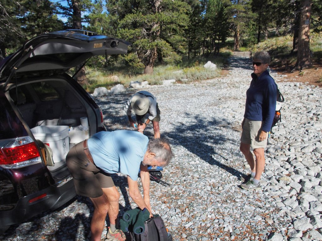
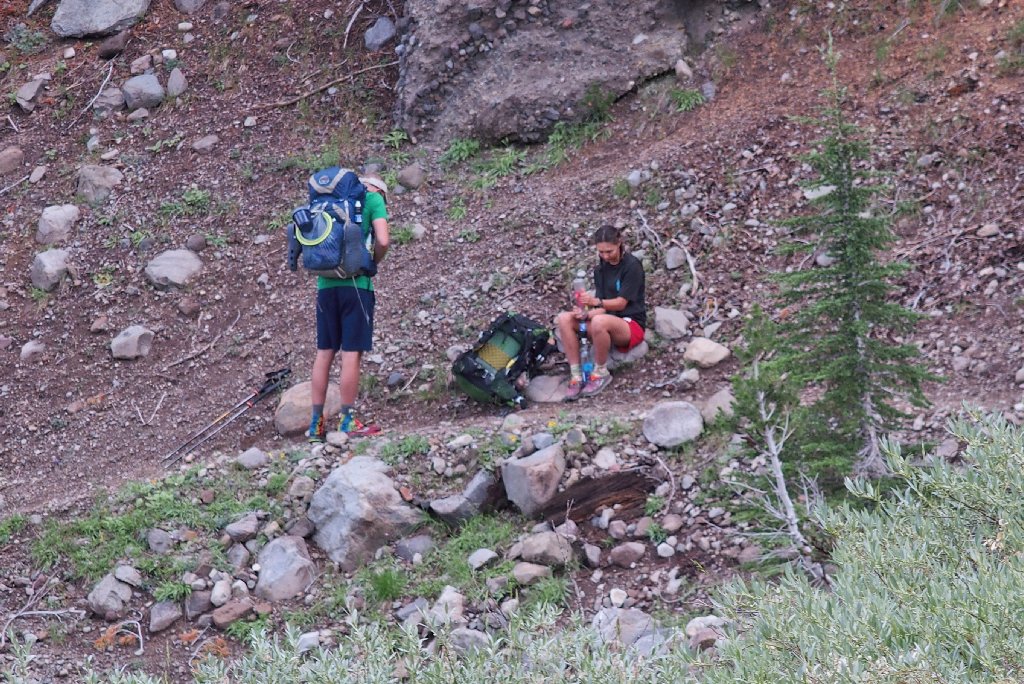
Getting ready
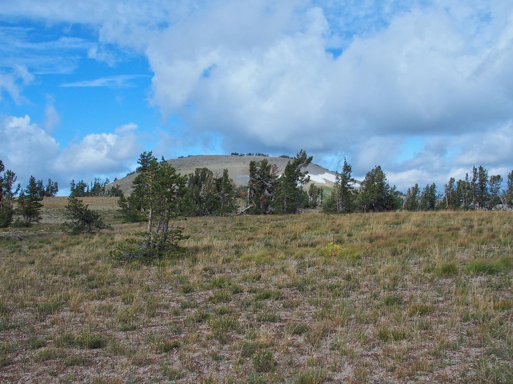
The short stretch of rough road from the Caples Lake CalTrans Maintenance Station to the old Schneider Cow Camp was closed for several years, as part of a federal master plan to increase protection of certain environmentally sensitive areas. A nice parking lot has been constructed here, replete with big boulders that serve to keep automobiles out of the nearby meadow, which is a good thing. No longer can anyone park underneath the nearby trees, as I did eight years ago on Hike #66.
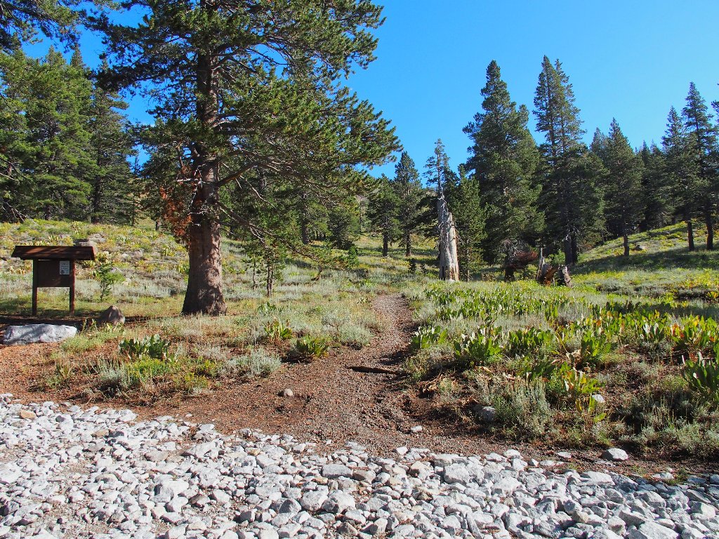
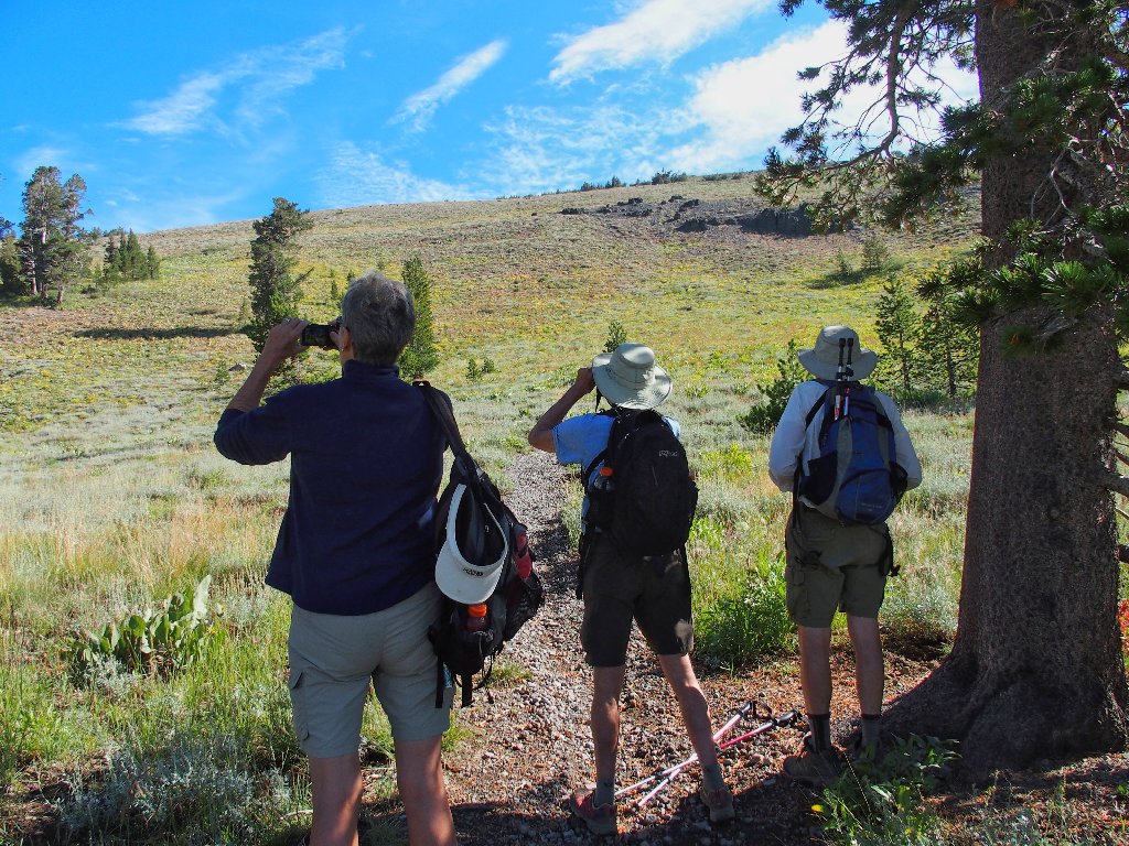
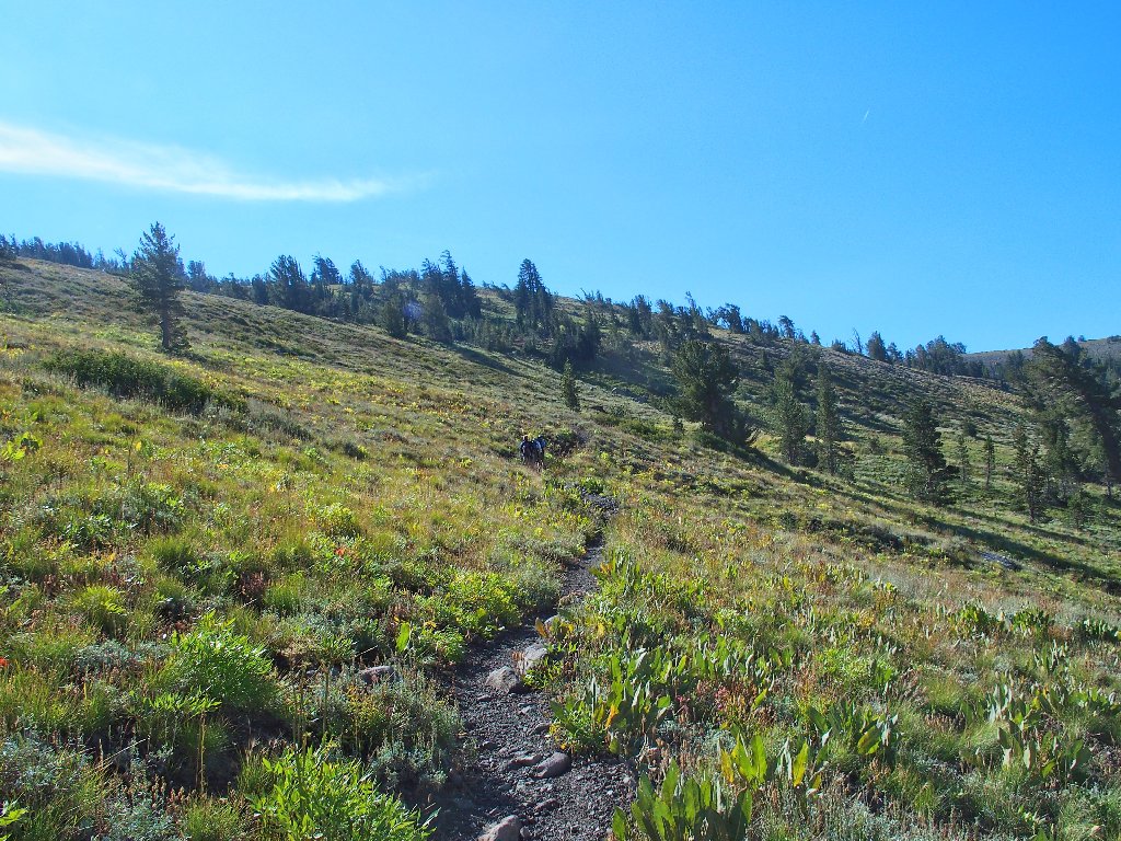
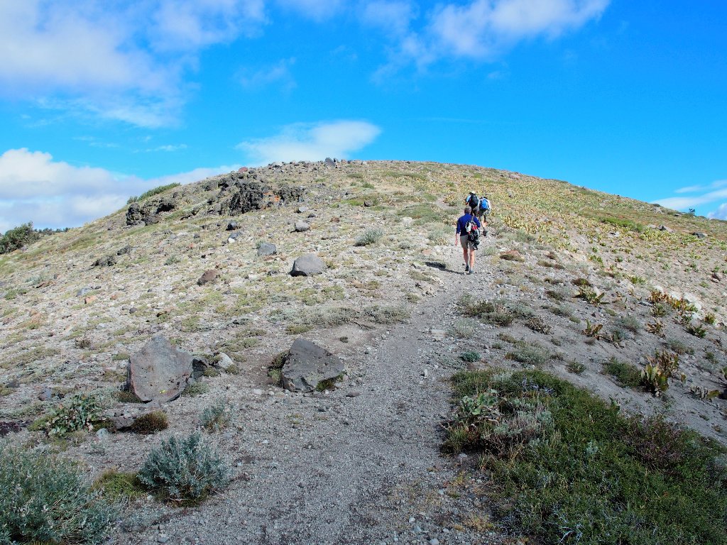
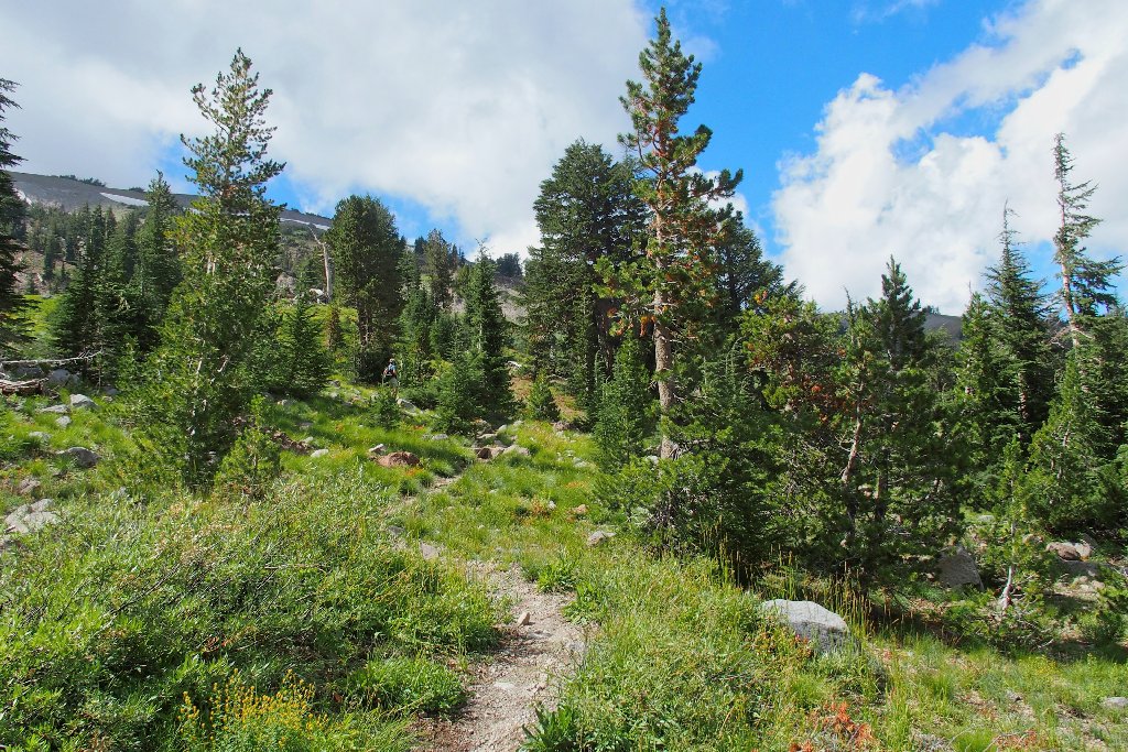
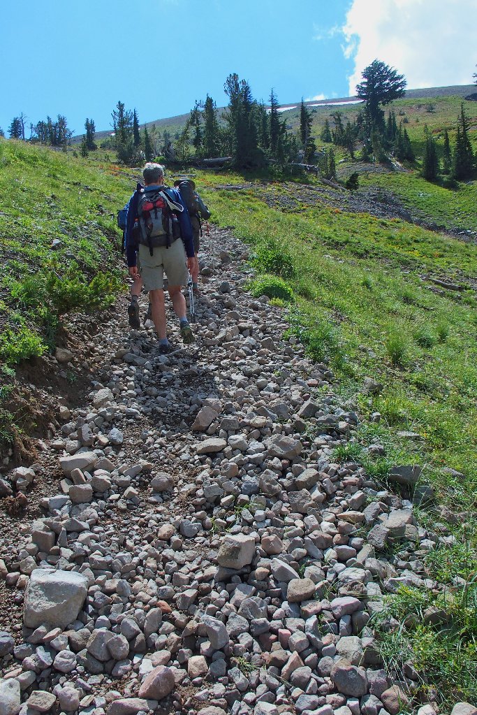
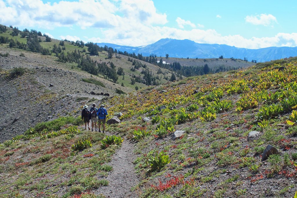
A nice trail awaits us
Despite the excellent condition of this trail, it remains lesser-known;
so it would surprise me to meet any other hikers on this side of the ridge.
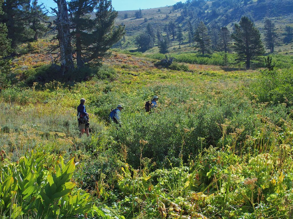
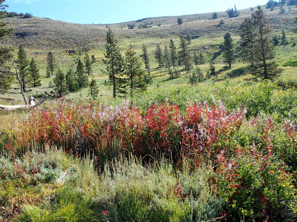
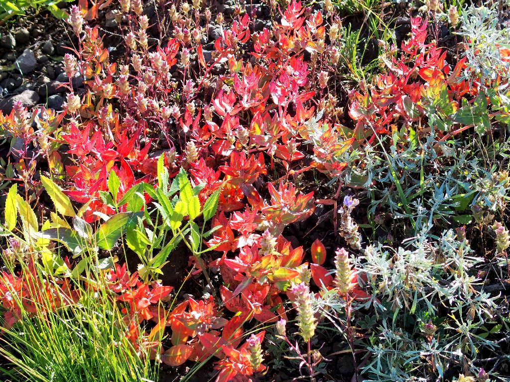
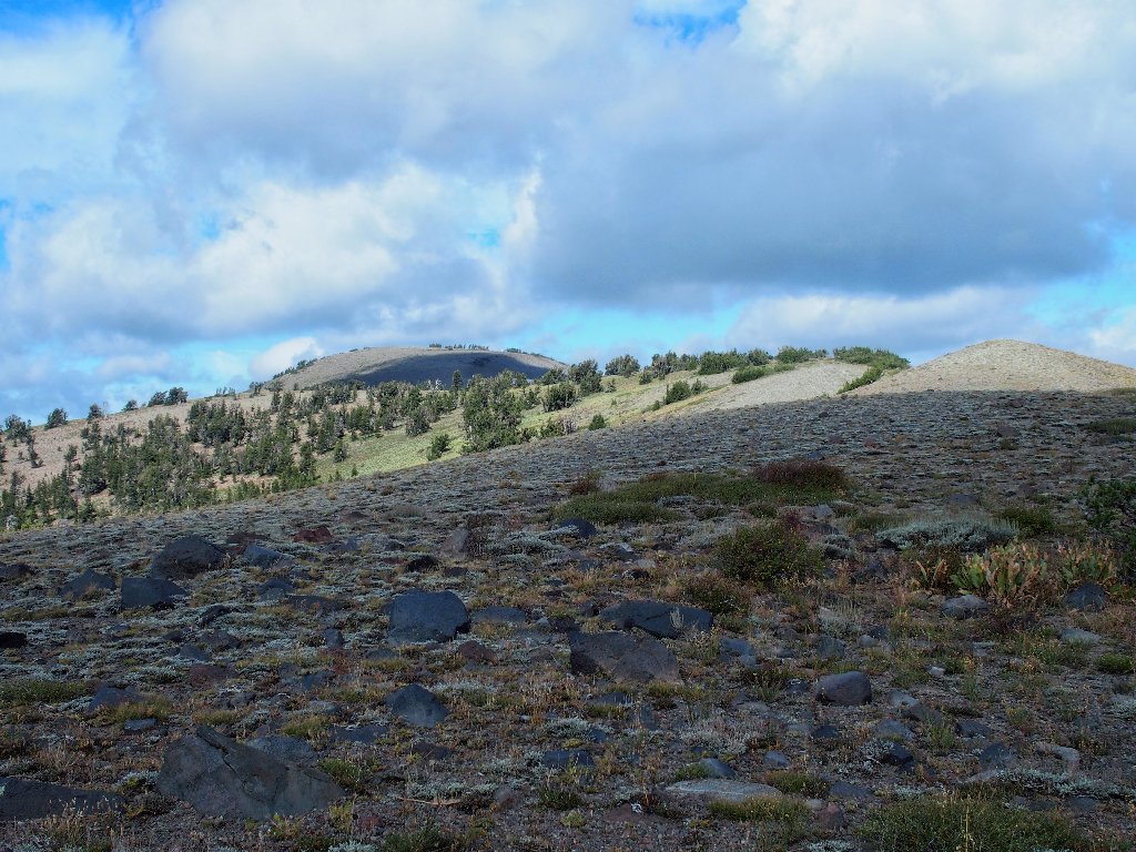
There still is plenty of green stuff in mid-September
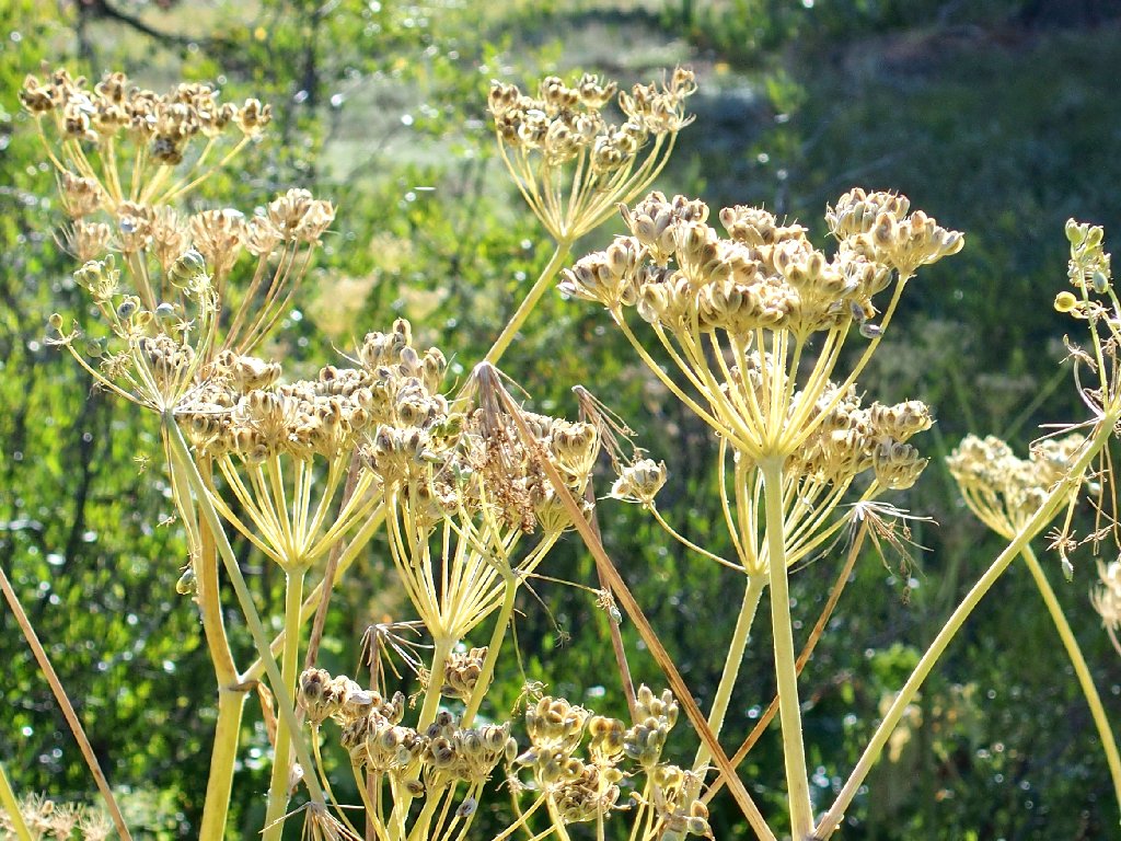
The Cow Parsnip are six feet high
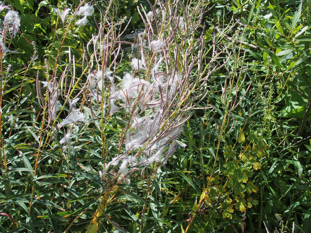
Fireweed, or at least it used to be
Surmounting that ridge is our immediate goal
A bird-spotting interval
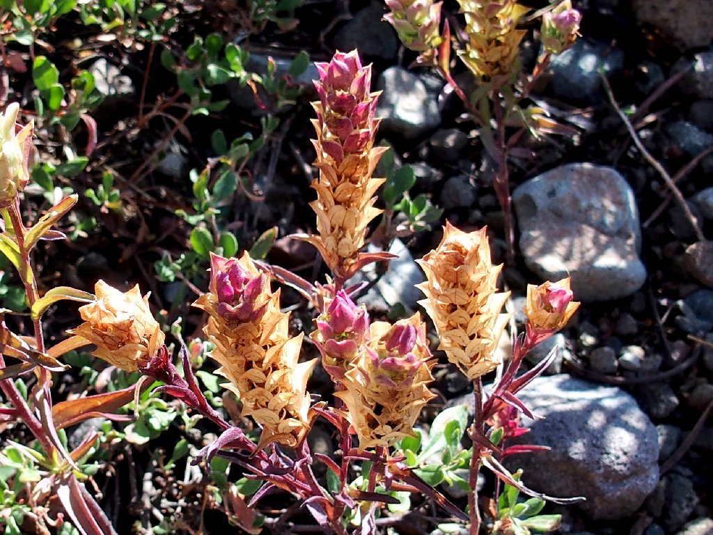
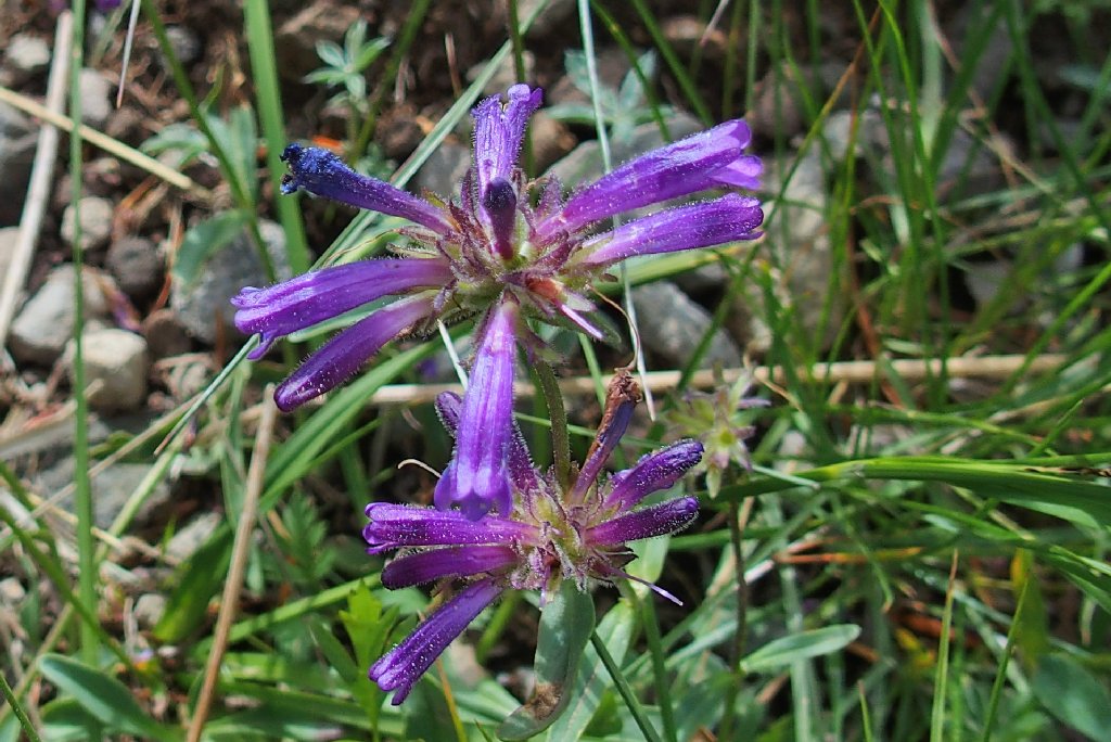
Copeland's Owl's Clover
Knotweed
In one respect, Howard is my hero; for he is rapidly approaching his
85th birthday. This means that our
uphill going is somewhat slower than usual, but I sure hope that I will be
able to do the same thing ten years from now.
Switchbacking up the slope
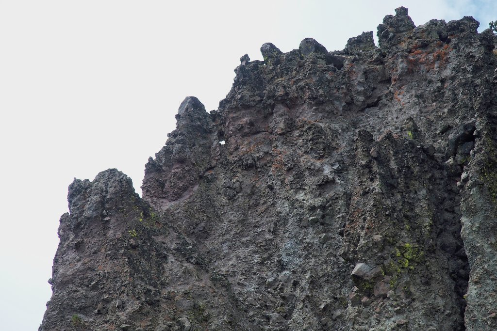
Overlooking Kirkwood to the west is a familiar local rock formation.
A photograph of it back on
Hike #59
earned me two T-shirts.
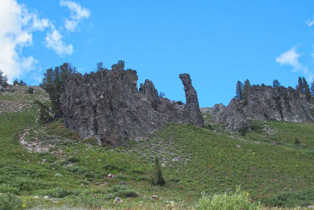
The Two Sentinels
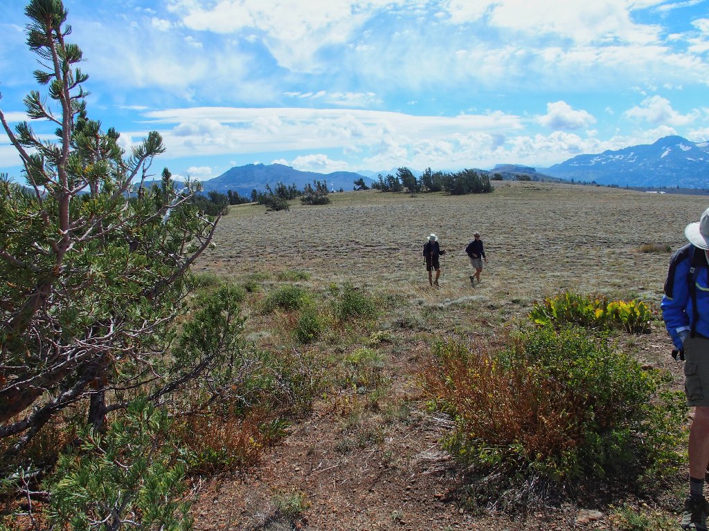
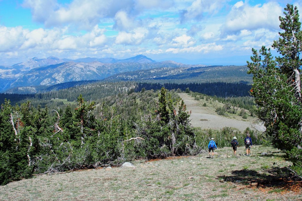
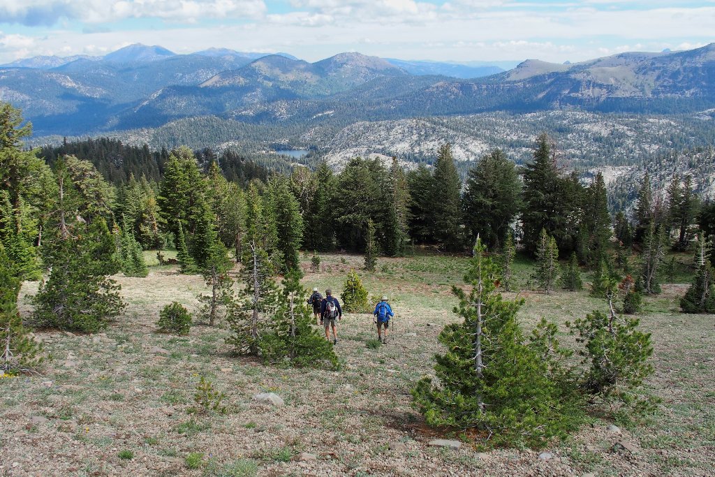
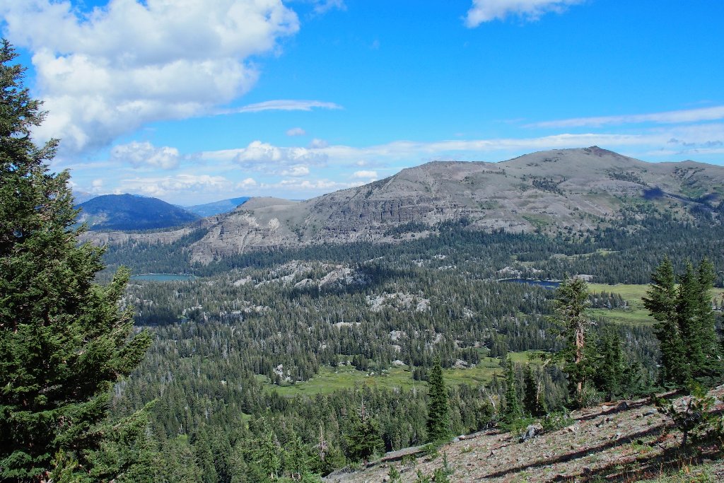
A 600-foot climb begets the top of a ridge that is several miles long.
A use trail leads south from the saddle, but we head north instead
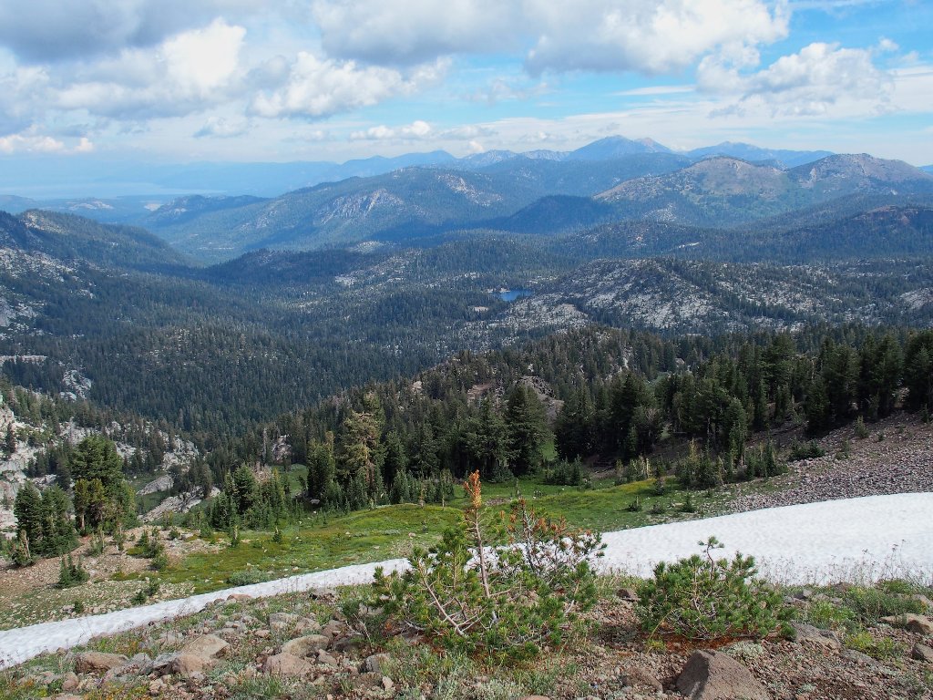
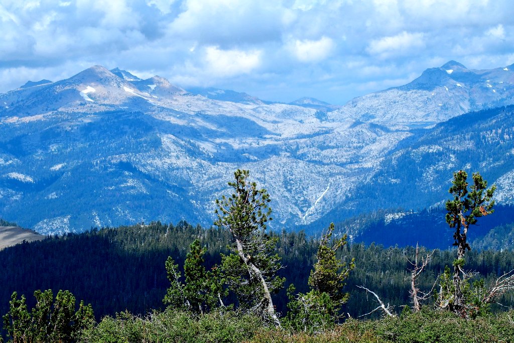
New vistas have opened up, and there should be even more to come.
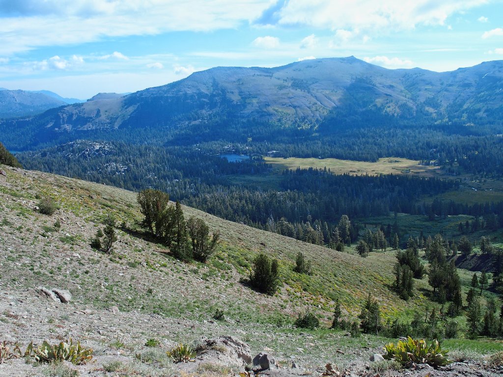
To the east is Meiss Lake below Stevens Peak, 10059'
Lake Tahoe is barely visible due to lingering forest-fire smoke
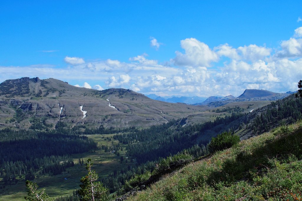
This trail leads down into the valley, but that's not what we want. Within just a minute or so, our leader turns us up into the scree, toward the ridge top.
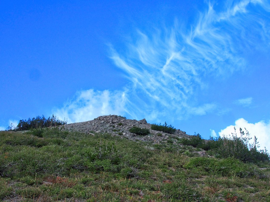
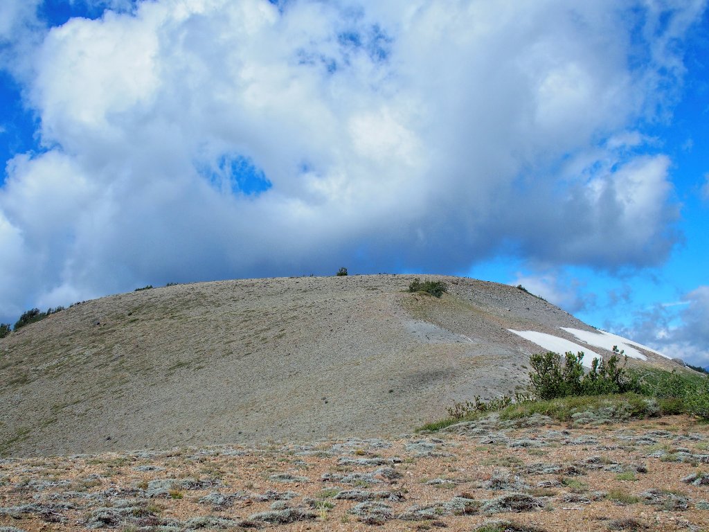
An interesting cloud formation
There's our near-term destination — Little Round Top
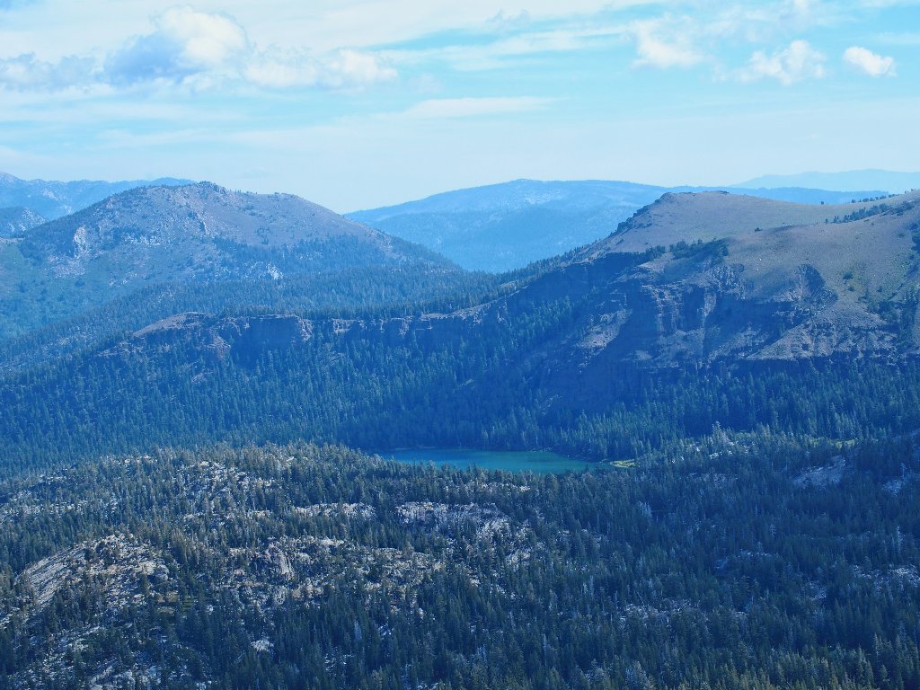
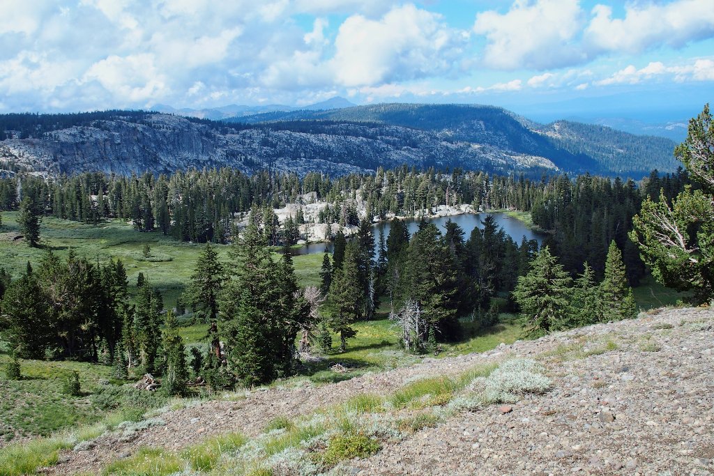
Long Lake
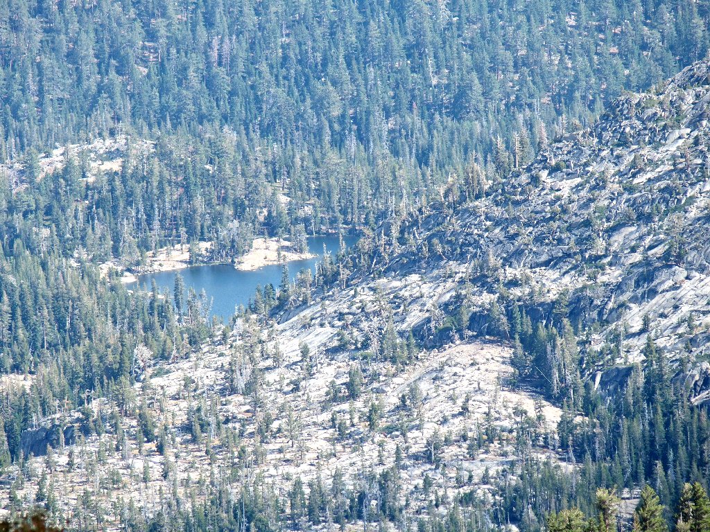
Dardanelles Lake
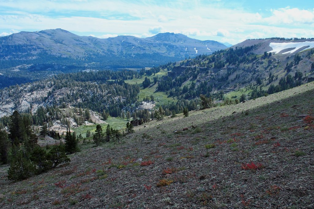
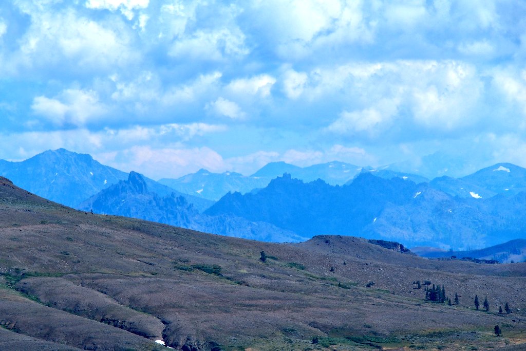
The view southward is spectacular:
Those ramparts overlook the Blue Lakes area
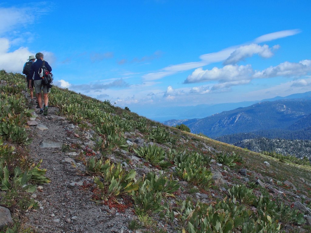
Up here on the ridge top, being able to look down and all around is delightful.
The hilltop is up there
There is a stiff breeze right now, so my windbreaker is on. The clouds are moving rapidly, yet no storm is threatening.
Big Blue in the upper left corner
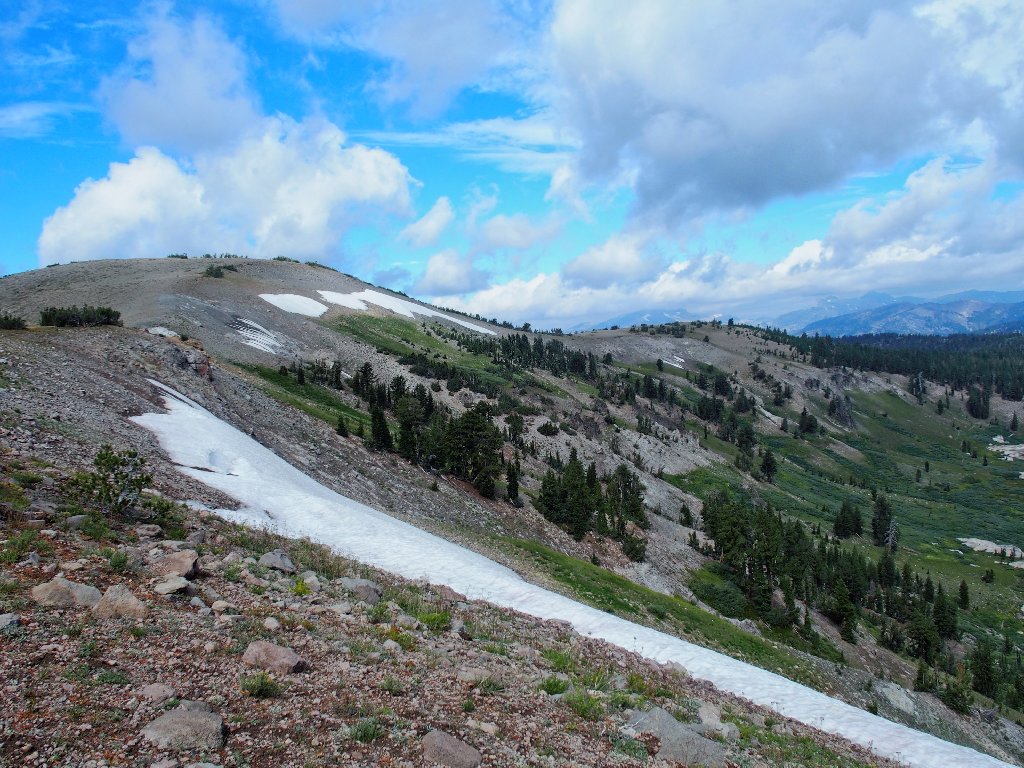
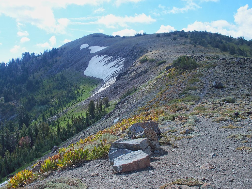
Those snow banks probably will remain all year
Below us is the Pacific Crest Trail
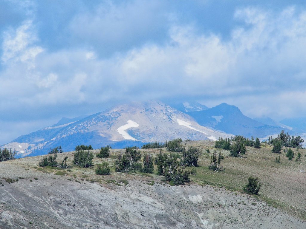
To the north, Pyramid Peak is in the clouds
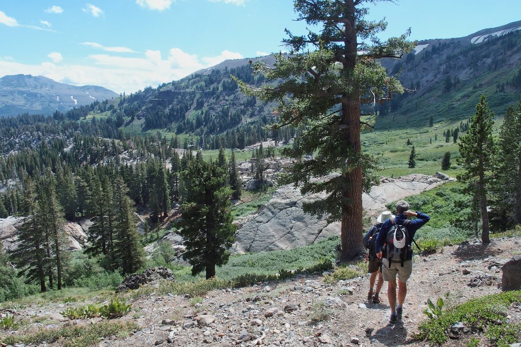
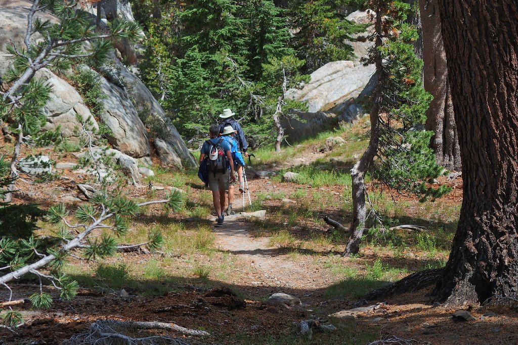
The stragglers catch up
Getting closer
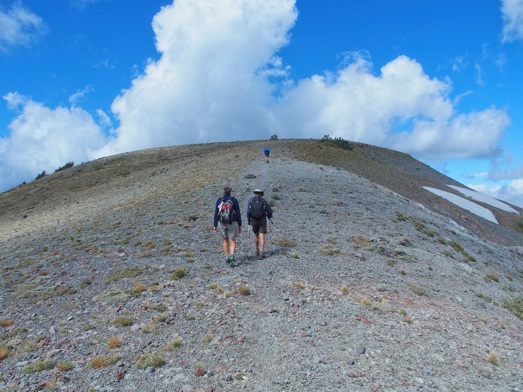
Almost there
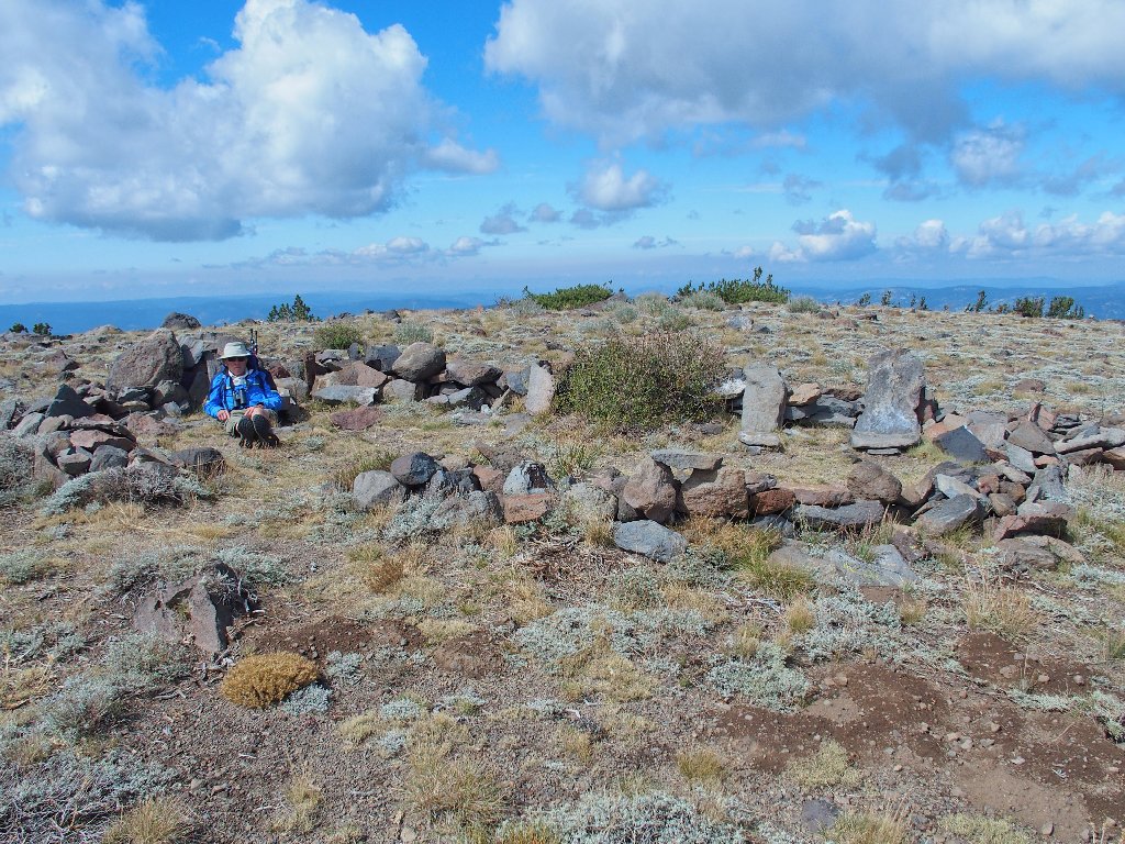
Jack awaits us at the summit of Little Round Top
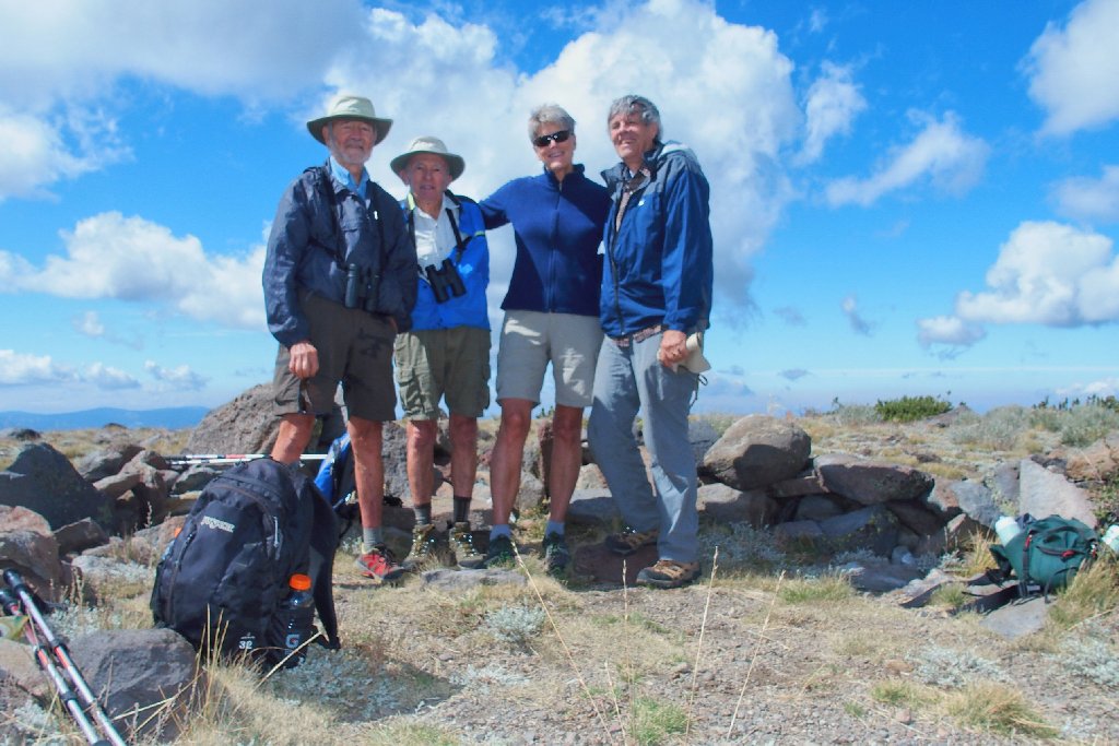
Howard, Jack, Traci, Ted
As usual, everyone is wearing shorts except me. Having no good explanation, I just never acquired a taste for them. And I have great legs, too!
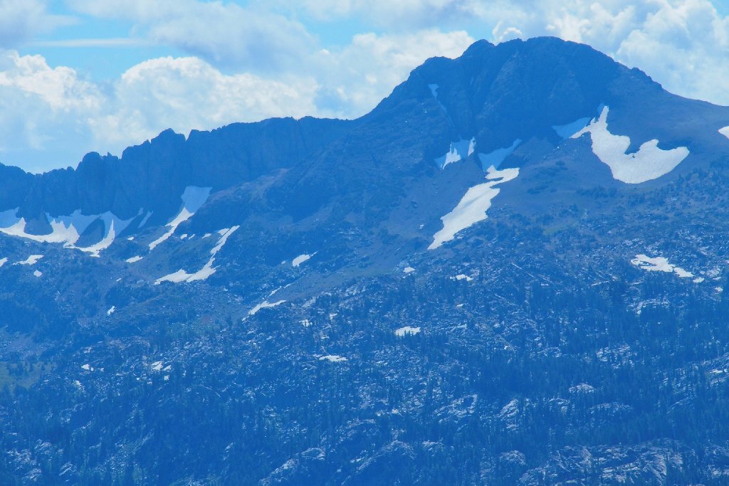
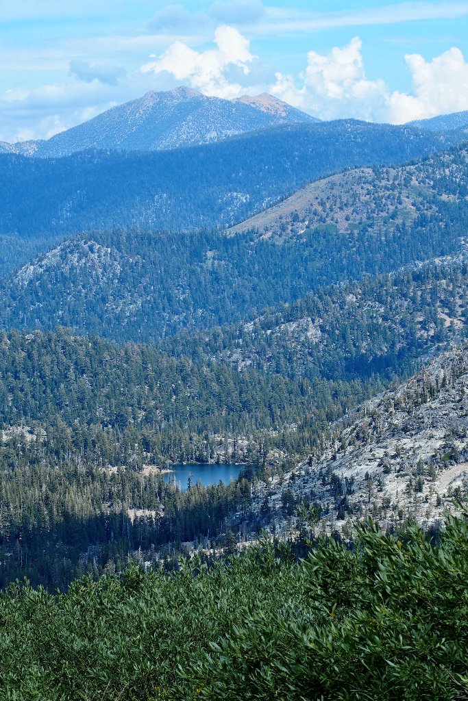
Round Top, 10381', and the Sisters are six miles south
Just after lunch, we encounter an unexpected treat to the north. The beloved Horsetail Falls are seven miles distant, and I even can see a piece of Lake Aloha up there, below Jacks Peak.
This is why I go hiking
The plan is to continue northward from here and connect with the PCT down to Showers Lake.
Starting a 900-foot downhill
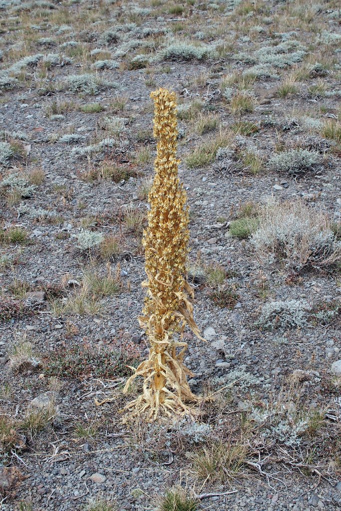
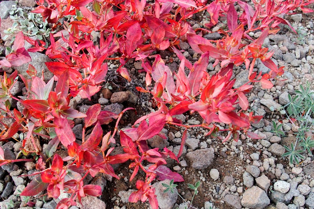
The remains of a Monument Plant
The lake is temporarily hidden from us
The trail must be down here somewhere
Found it!
Traci also has found a huge Slippery Jack or two
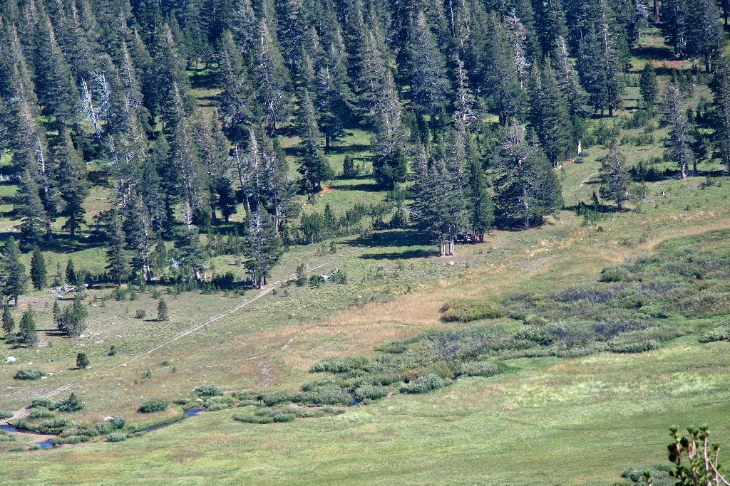
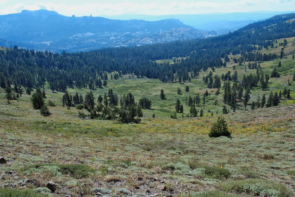
We are entering a verdant area. Despite the lateness of the season, there are flowers everywhere. I make a note to return here in July for an even more spectacular show.
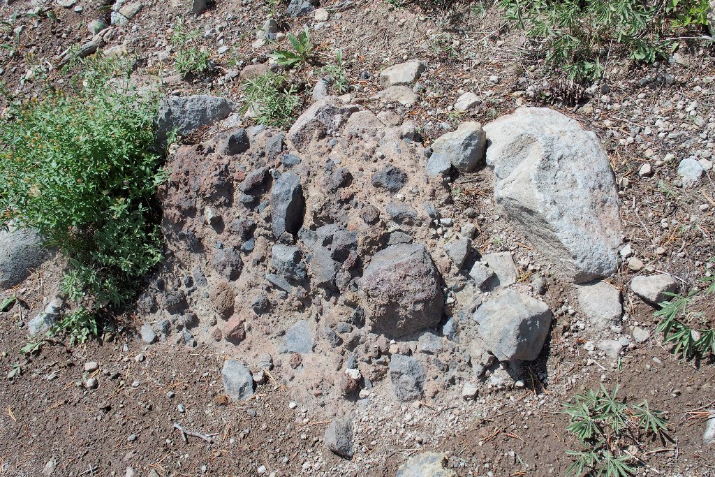
A patch of conglomerate
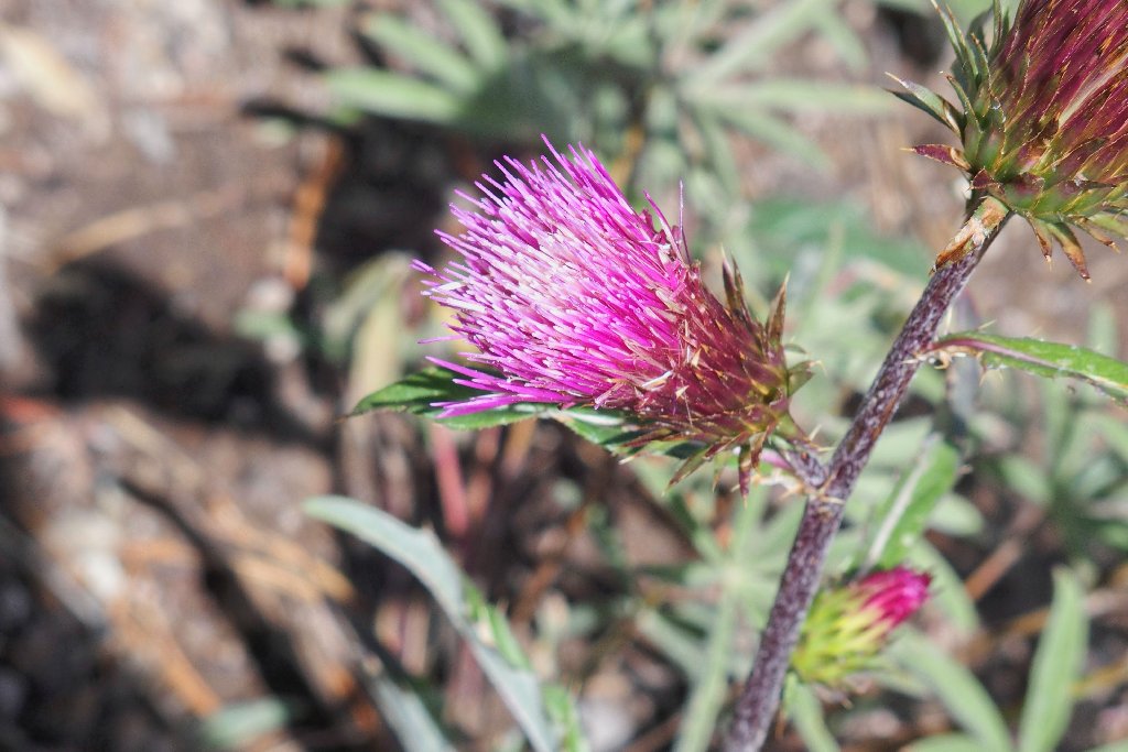
Rose Thistle
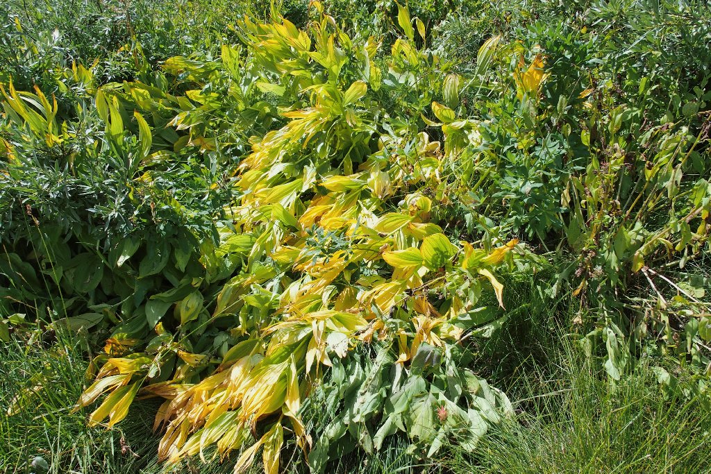
The Corn Lilies are napping
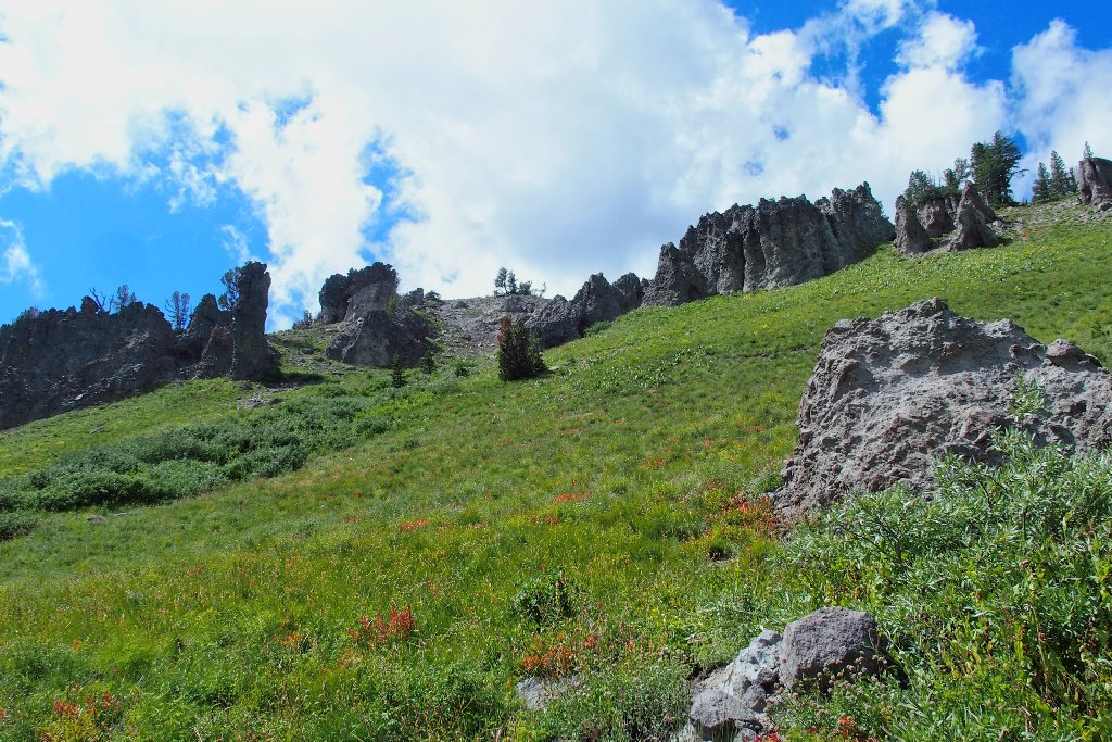
We went around those cliffs
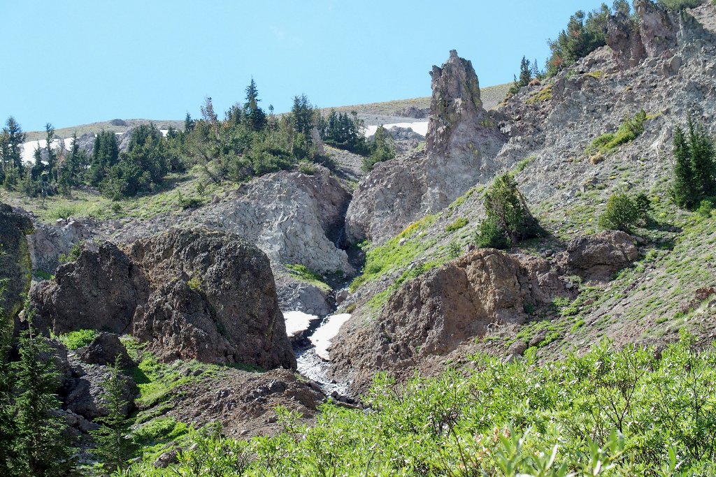
A closer look reveals a relatively uncommon feature:
Let's call it Showers Arch
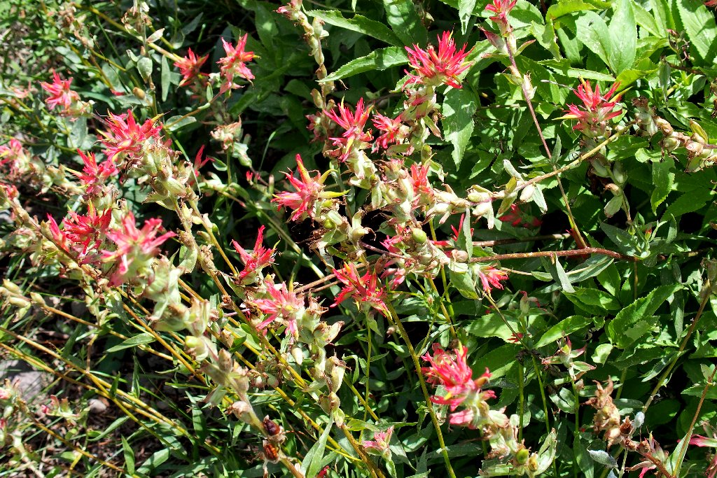
Great Red Indian Paintbrush
More Knotweed
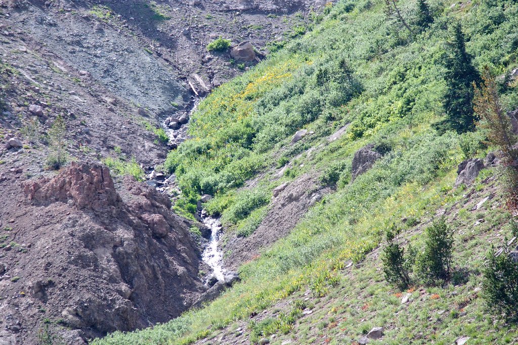
Runoff from recent rains
The are plenty of strange shapes in lava-land
Freel Peak (left) is the area's highest at 10,886'
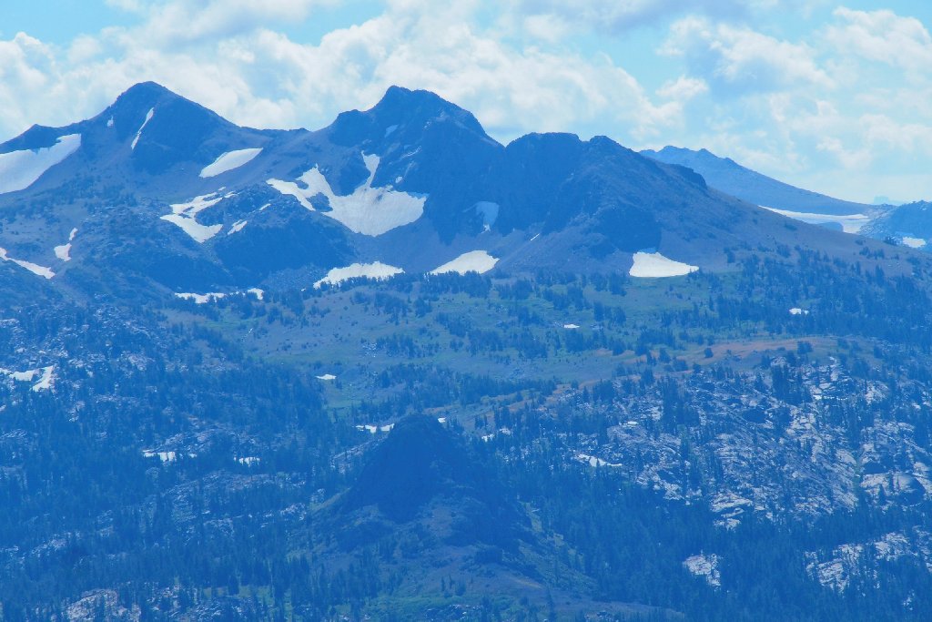
The dardanelles above Long Lake
As we are paused for a snack, a male backpacker passes by. Five minutes or so later, a woman also goes by. We guess that they are a couple despite the distance between them. Around the next corner is the answer:
Yes, they are a couple
They are a strange couple, though. By the time the woman is organized, the man already is a couple hundred feet down the trail again and nearly out of sight. I don't know; it never would occur to me to treat a hiking partner like that.
Where we were
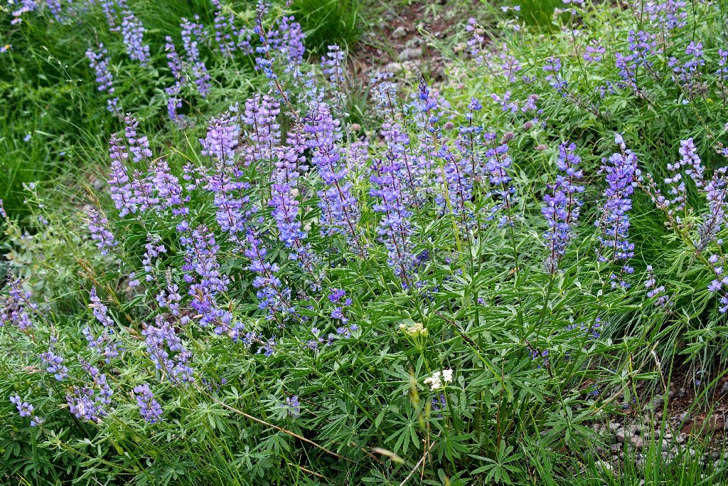
Silver Lupine
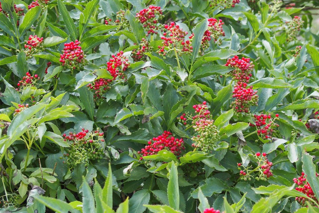
Elderberry
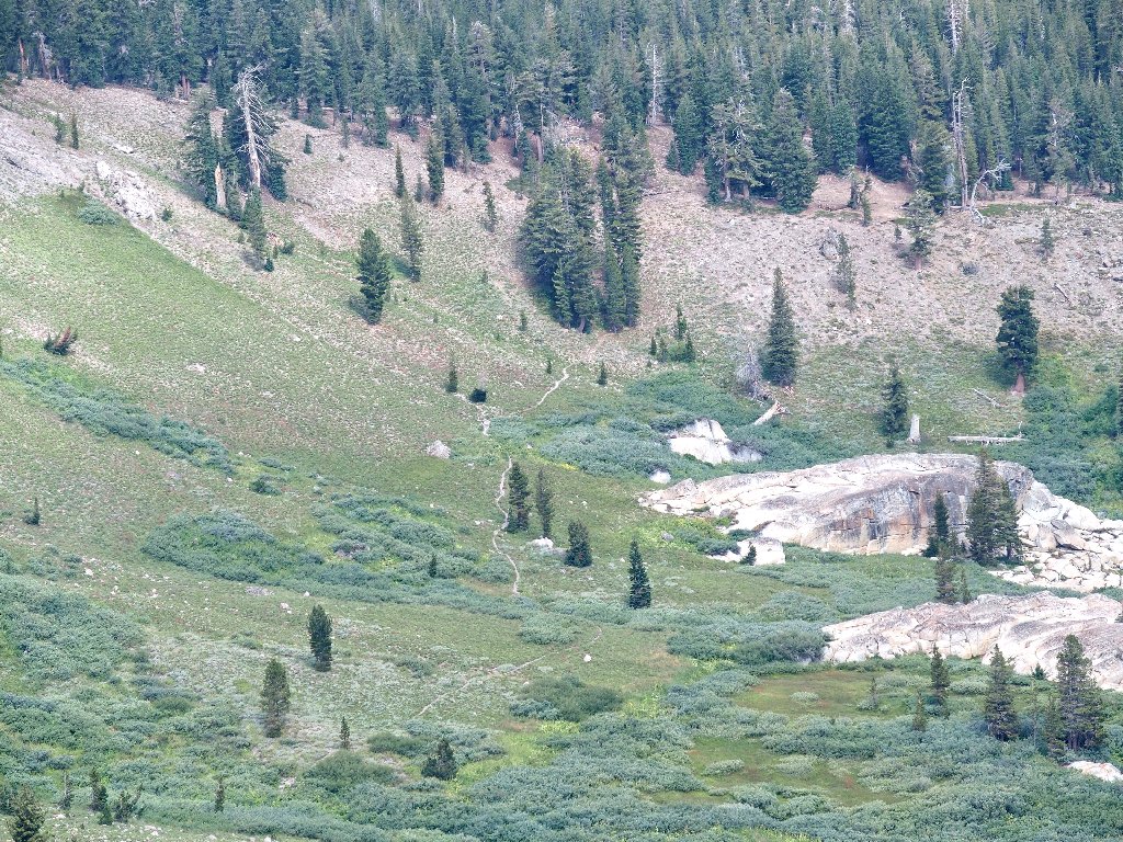
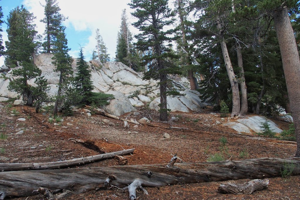
Our surroundings have morphed from lava flows to granite boulders. This also always is a good thing.
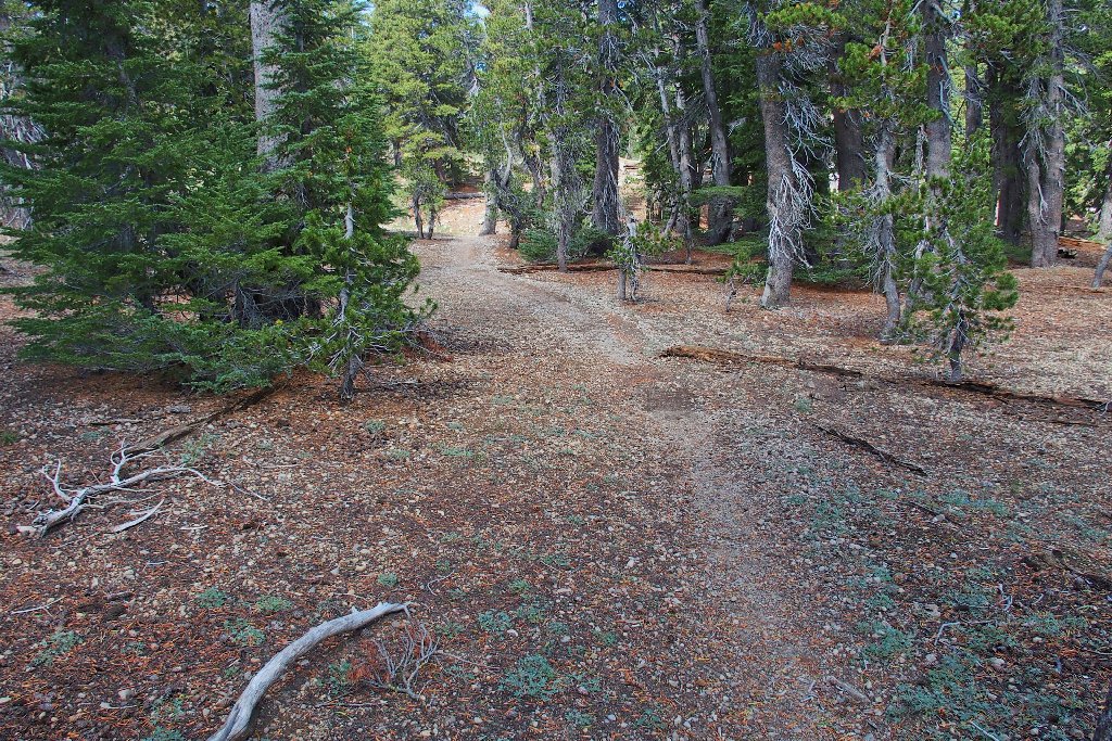
A pleasant section of forest
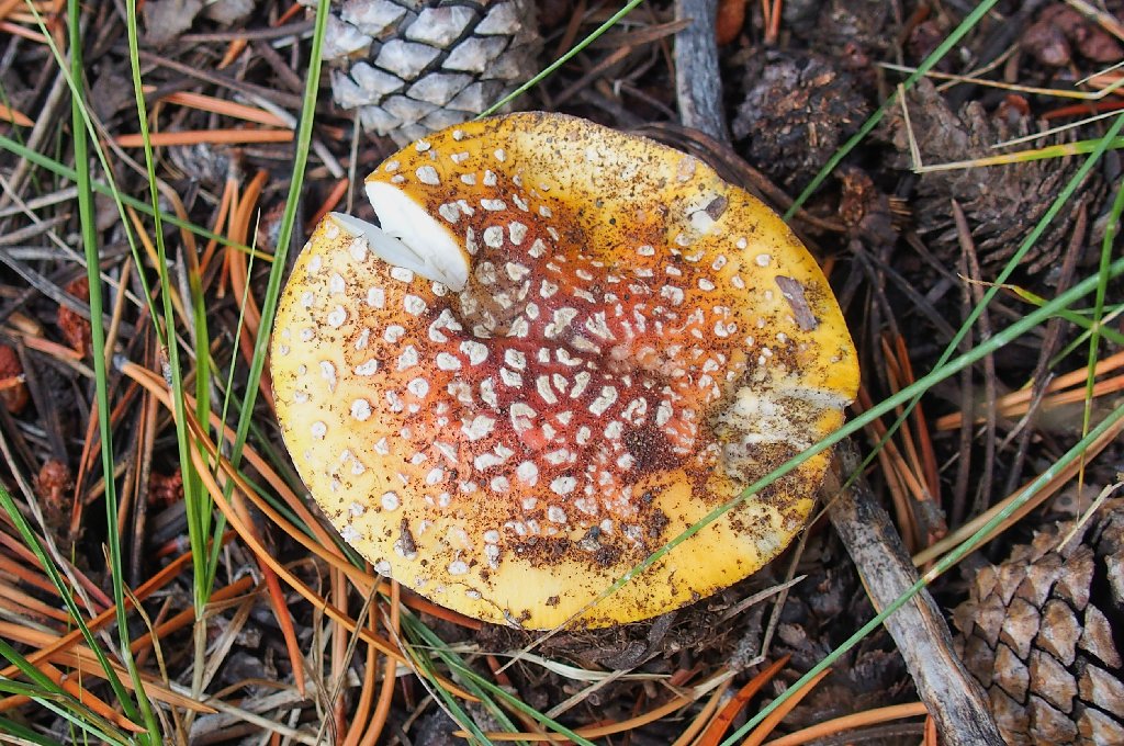
A Fly Agaric looks good enough to eat
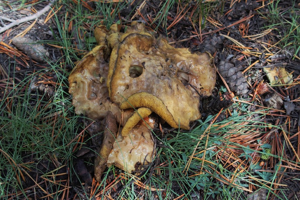
This one definitely does not
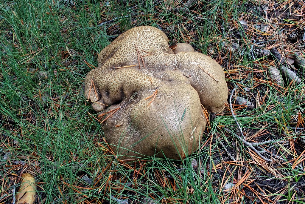
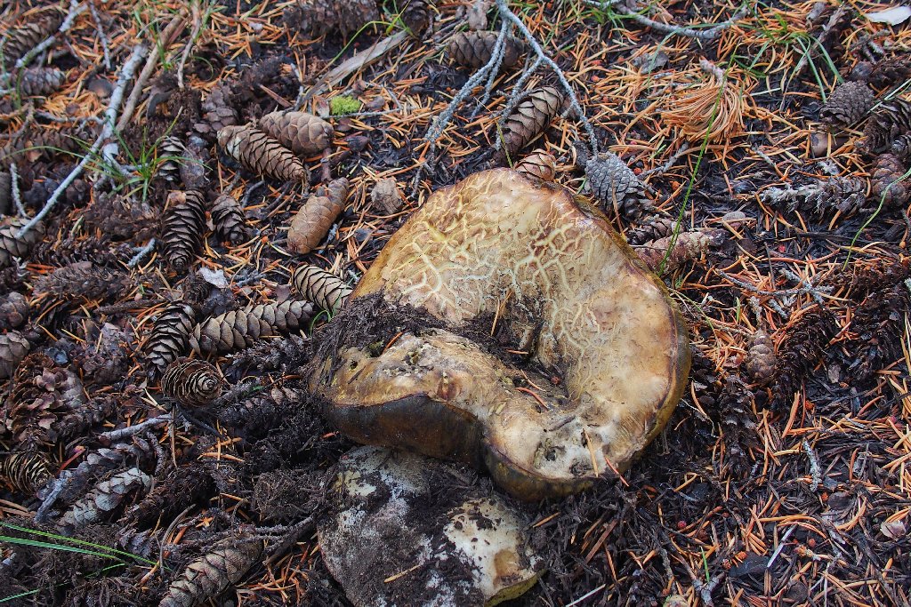
Wow! More than a foot wide, this Hardskinned Puffball is the
granddaddy of all fungi
As we approach the lake, the trail becomes ever more pleasant.
I wouldn't mind if this were my back yard
After a seemingly pointless up-and-down trail section including curves and switchbacks, we reach the shoreline.
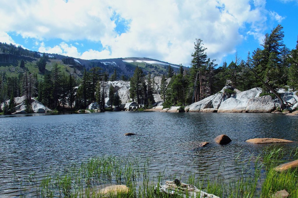
Showers Lake
My old topo map shows the PCT skirting the western lake shore,
yet now we are on the east side. This re-routing
must have been done to avoid all the wet stuff on the west side.
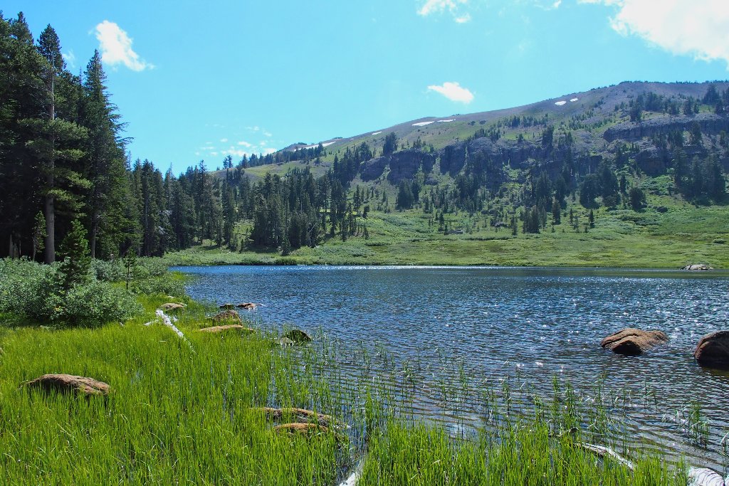
Looking south
Continuing generally southward, our route out of here becomes obvious; in fact, I don't even notice where the Pacific Crest Trail veers off to the left.
It's a bit steep, but it must be done
Sierra Penstemon
Wandering Daisy
So long to Showers Lake
So long to Round Lake and Meiss Lake
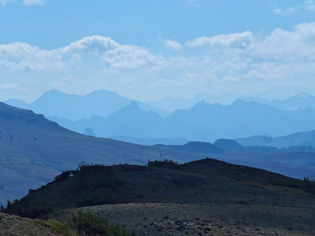
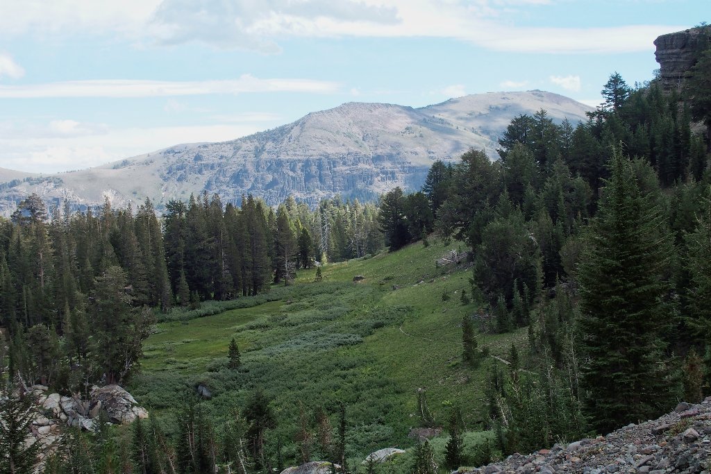
Red Lake Peak (left) hosts the headwaters of the Truckee River
Peering into the Ebbetts Pass area
The PCT heads southward
Back in the saddle
We're going to make it! I can almost smell the hay in the barn.
It's all downhill from here
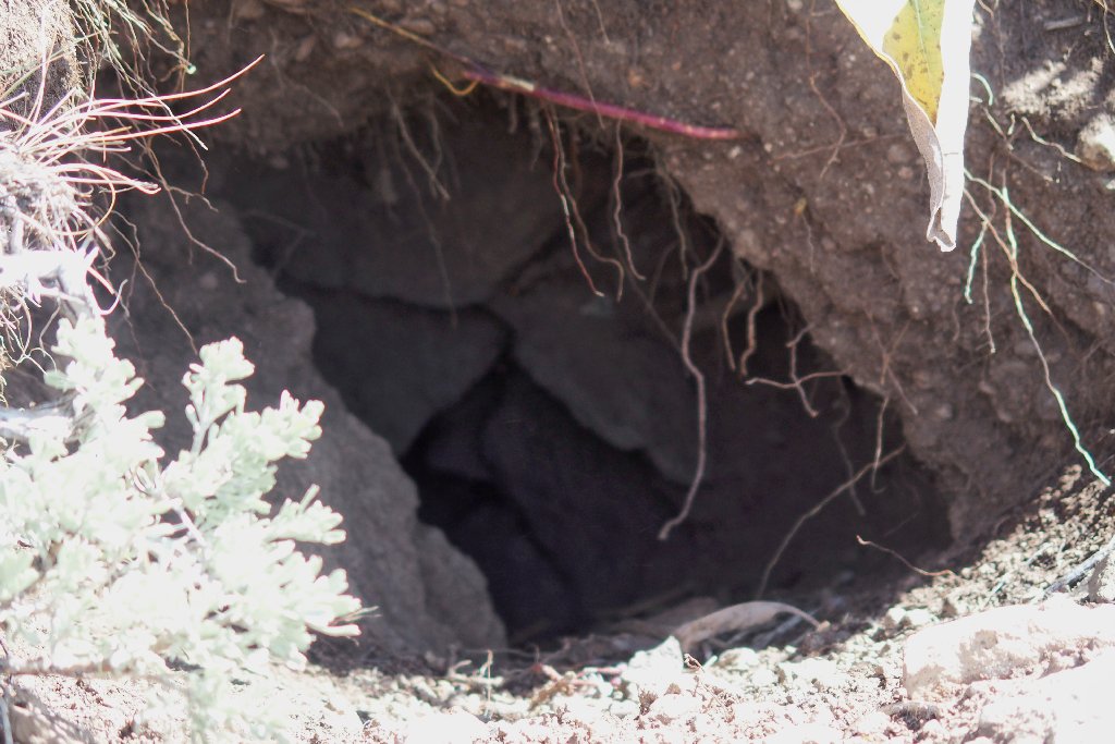
Big enough for a badger
This last section of trail proves inexplicably treacherous. I slip and fall twice, while Howard falls once, then loses his balance and ends up in the creek bed. No damage is done, however.
On the final lap
§: What a marvelous outing this was! New friends, fabulous
scenery, and cooperative weather have left me already planning next year's return
trip. All the clouds provided a backdrop for some great photographs as well.
About the only thing I would change is that I talked about myself too much in the car on the way home.
| Scenery |  |
| Difficulty | |
| Solitude |  |
 |
September 2021: The first couple miles of access road have burned, but that is all. |
