
Eldorado NF
|
Showers Lake Eldorado NF |
August 26, 2009
Two years ago I made the four-mile trek from Carson Pass to Meiss Lake. Although Showers Lake was but a mile farther, I had opted to save it for another time. Subsequently I have discovered that it is accessible in just two miles by another trail! The combination of my wonderful new National Geographic maps and Eldorado National Forest publications have proved highly informative.
It comes as no surprise that there is no other vehicle at the trailhead. I daresay that most hikers are unaware that this route even exists, as it is not on the older topo maps. The Forest Service certainly knows about this trail, however; for it is in very good condition.
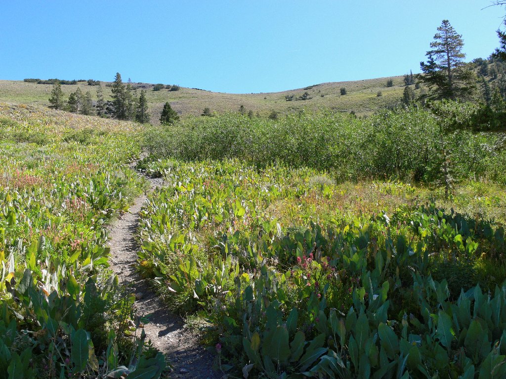
Getting started
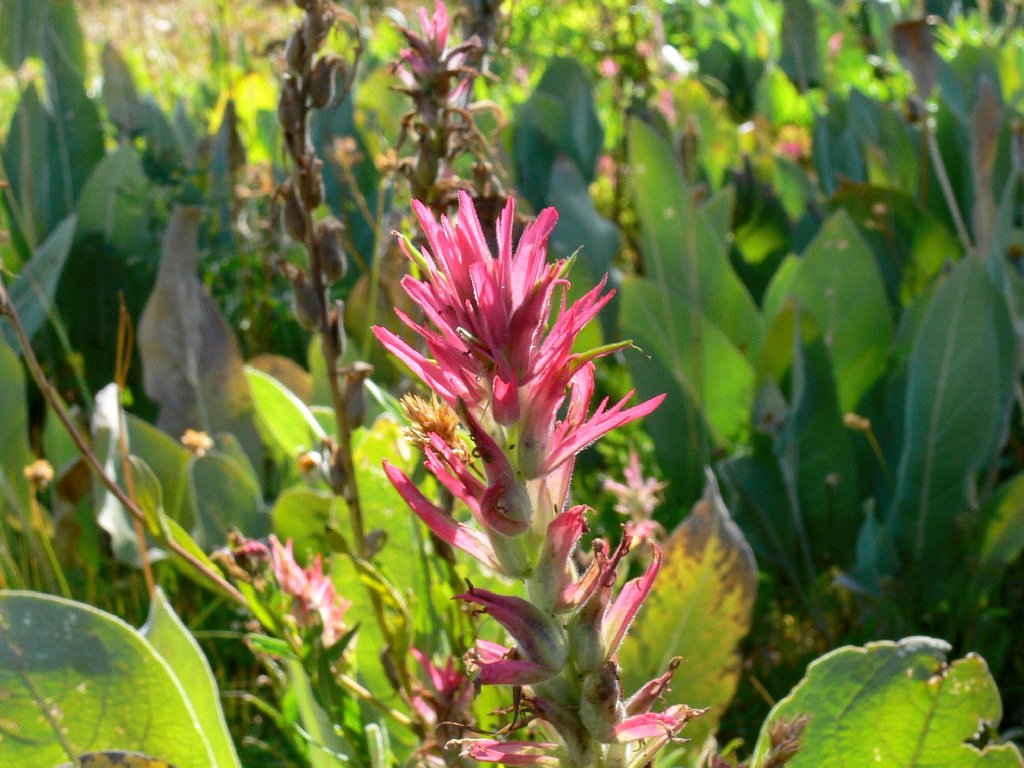
Paintbrush
An easy walk, including several long switchbacks, gets me up the 800-foot
hill in fairly short order. I am pleased to see that a few flowers remain
this late in the season. At the top are great views in every direction.
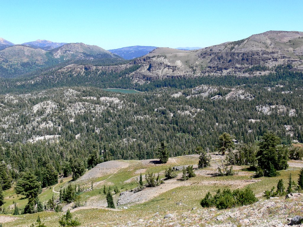
Meiss Lake and Stevens Peak, 10059'
Elephants Back and the Ebbetts Pass area beyond
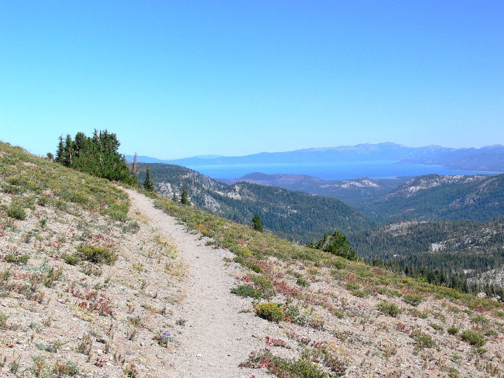
Lake Tahoe to the north
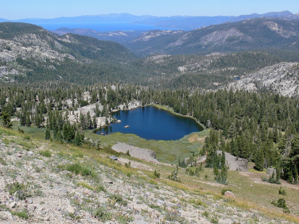
Another five minutes of walking brings the objective into view.
Showers Lake
The trail becomes rather steep, causing me to inch my way down in small steps. Other than a couple of grasshoppers, a few butterflies are the only fauna I would see today.
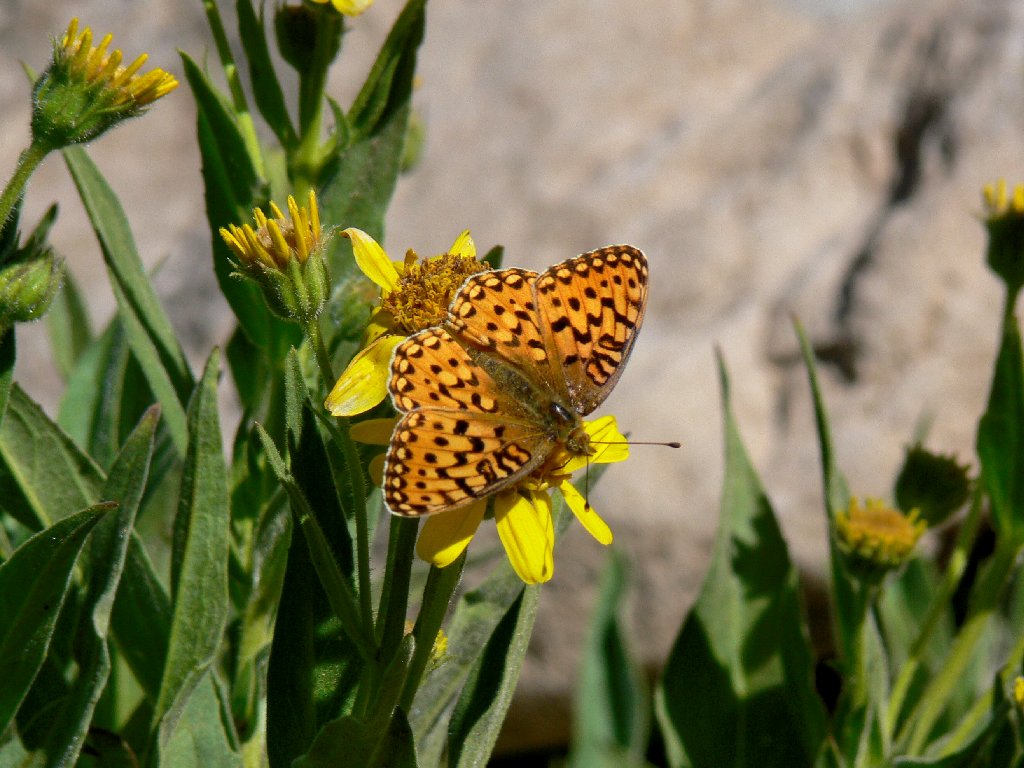
Fritillary
At the bottom of the hill I encounter the Pacific Crest Trail, as expected. What was not expected is that the PCT skirts the eastern side of the lake, whereas my map shows it veering west. It appears that the trail has been rerouted to avoid a swampy area.
Junction with the PCT
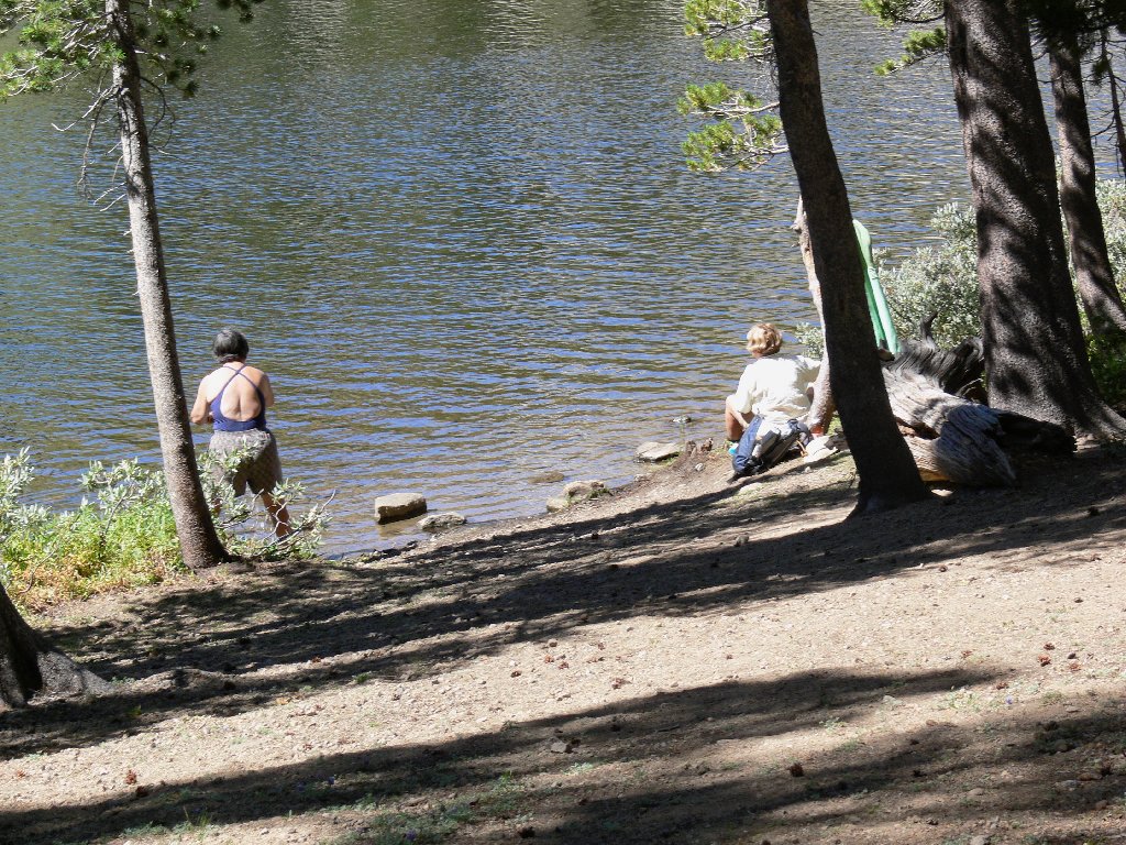
Ladies of the Lake
Two women at lakeshore are getting into shape for an ascent of Mount Tallac,
a 3100-foot climb. I believe that they would do better to get their
conditioning on a trail that goes up, rather than sideways. Scaling nearby
Red Lake Peak could be a good choice, although that would be a mere 1500-foot
challenge.
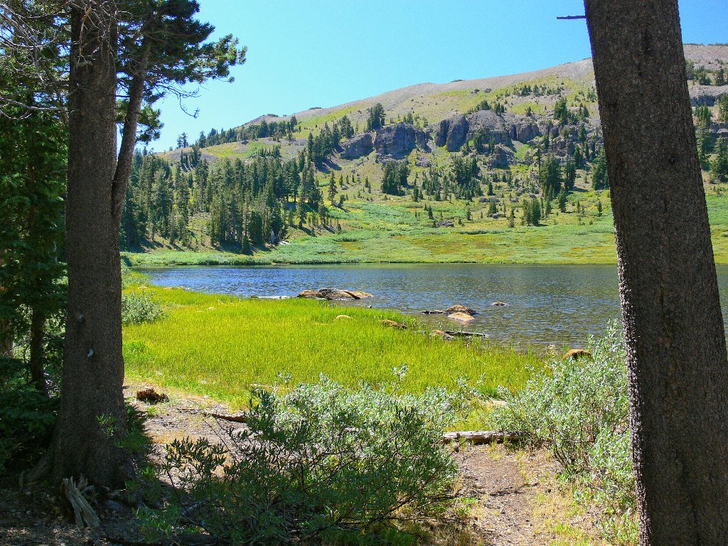
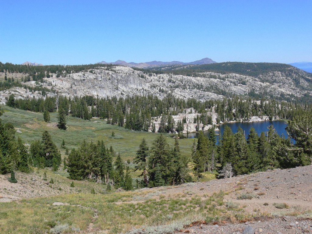
The grassy southern and eastern shores
The north side of the lake is lined with granite cliffs and boulders. A bit of exploration quickly reveals the outlet creek. A significant cascade plummets down here earlier in the season, out of sight of the lake and trail. This mellow spot is a good place to stop for lunch.
Continuing counterclockwise around the shore is a delightful experience, it being a combination obstacle course and guessing game. A minor amount of scrambling on the rocks is necessary. I wouldn't mind if my back yard were just like this!
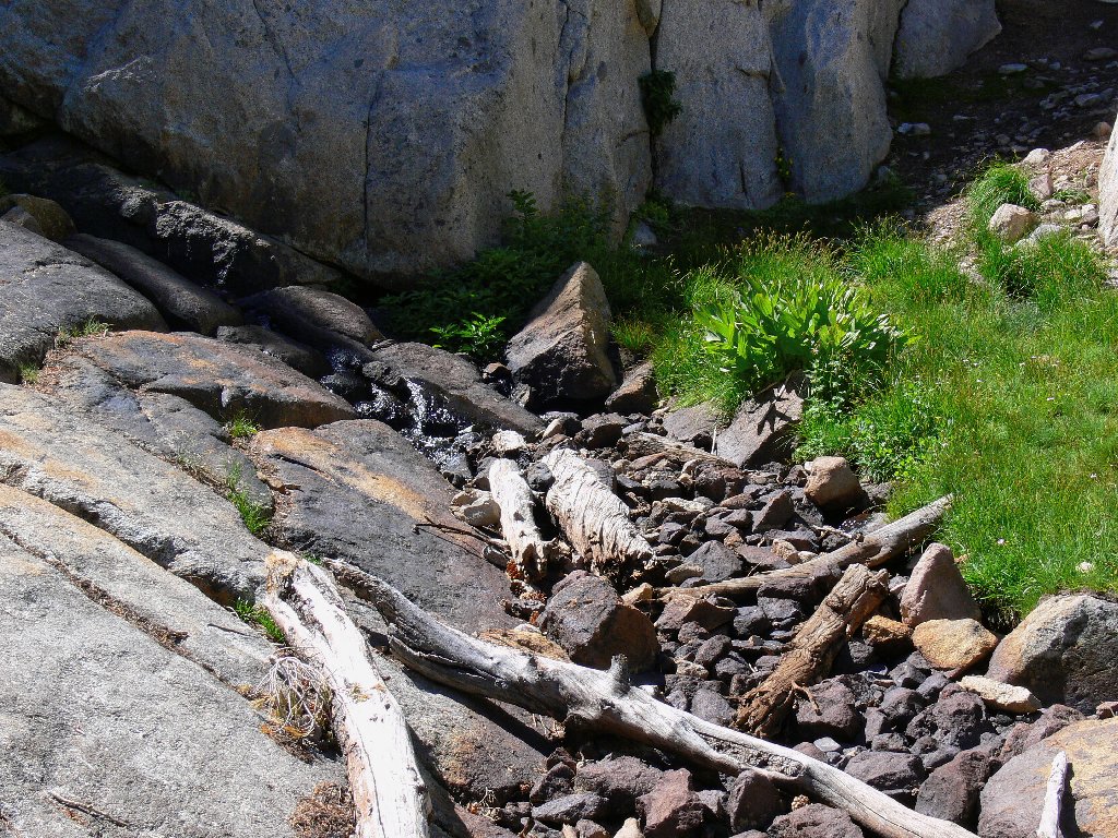
Remains of a cascade
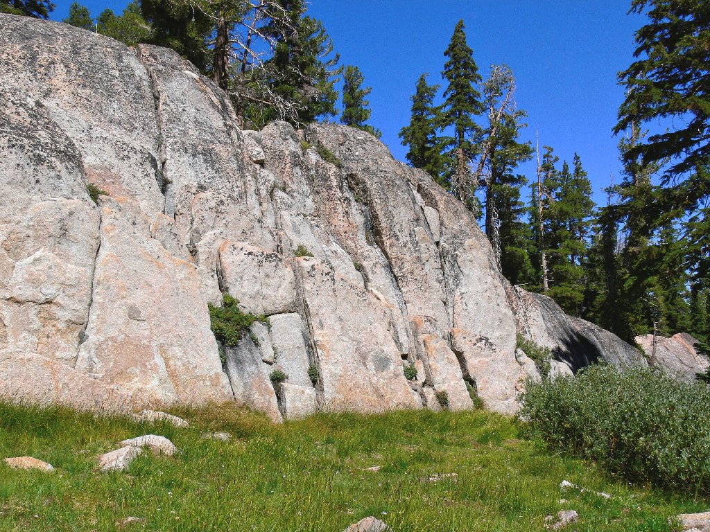
Granite blocks abound
At the northwest corner of the lake, I look up and see an interesting lava outcropping. Convincing myself that I could scramble up that hillside and eventually catch the use trail that surely exists along the top of the long ridge, I throw caution to the winds and head straight up the mountain.
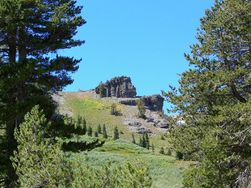
The start of a questionable cross-country odyssey
Four hundred feet and many rest stops later, I am on top of that volcanic formation.
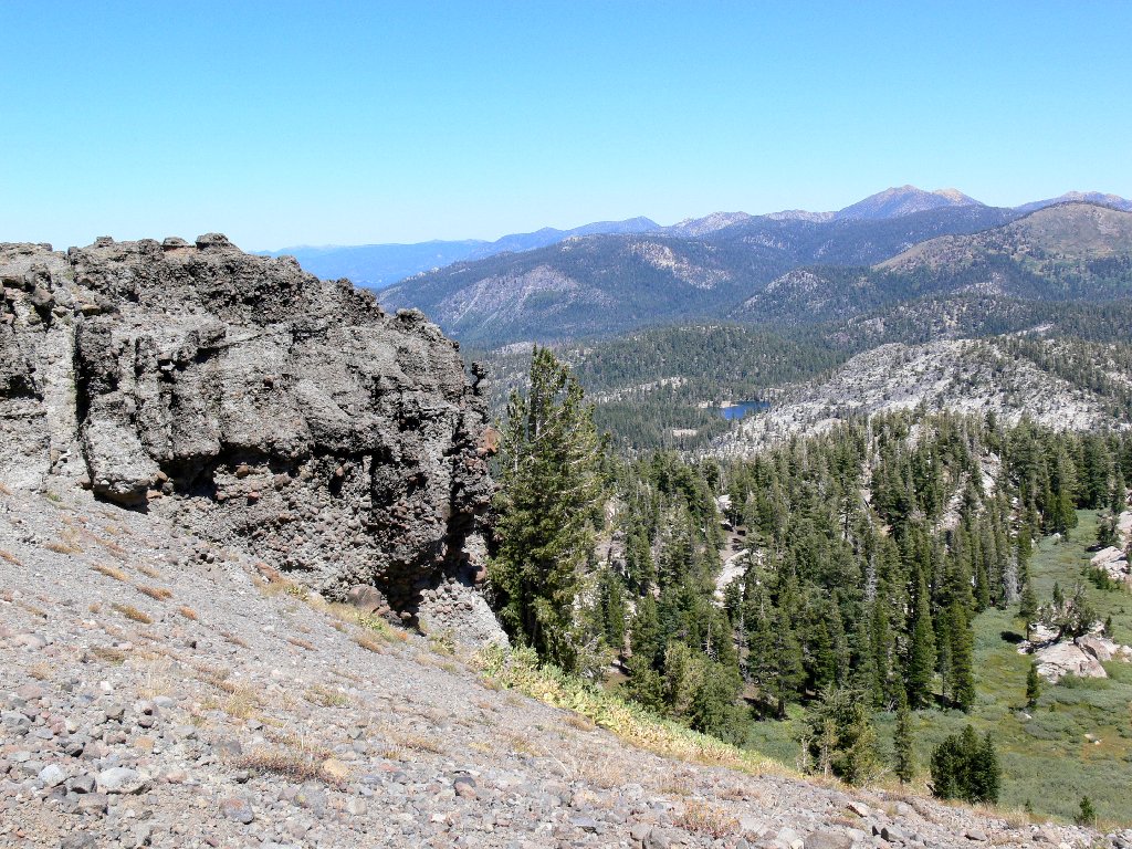
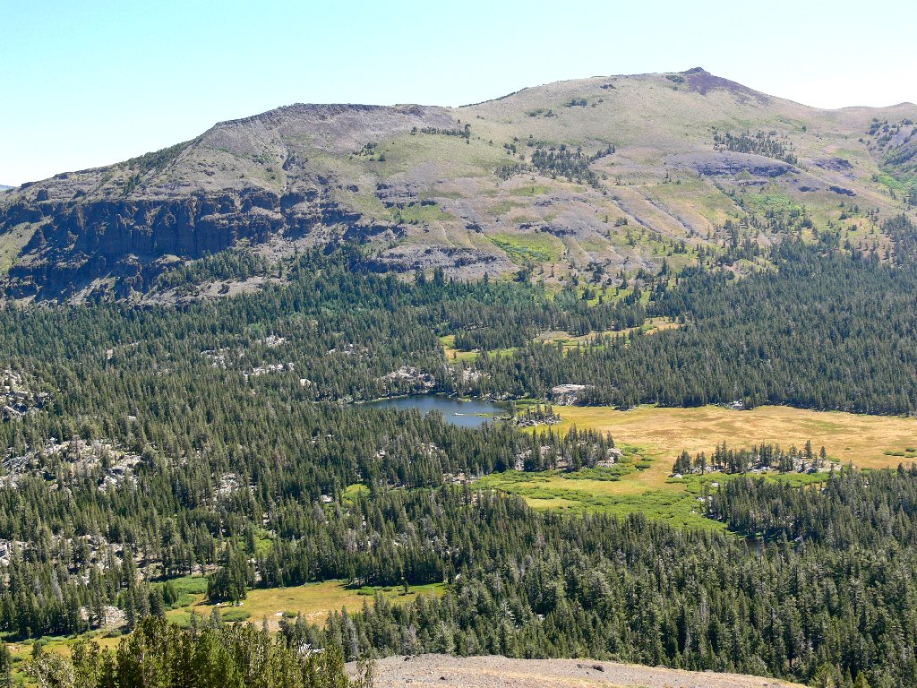
Dardanelles Lake and Freel Peak, 10886'
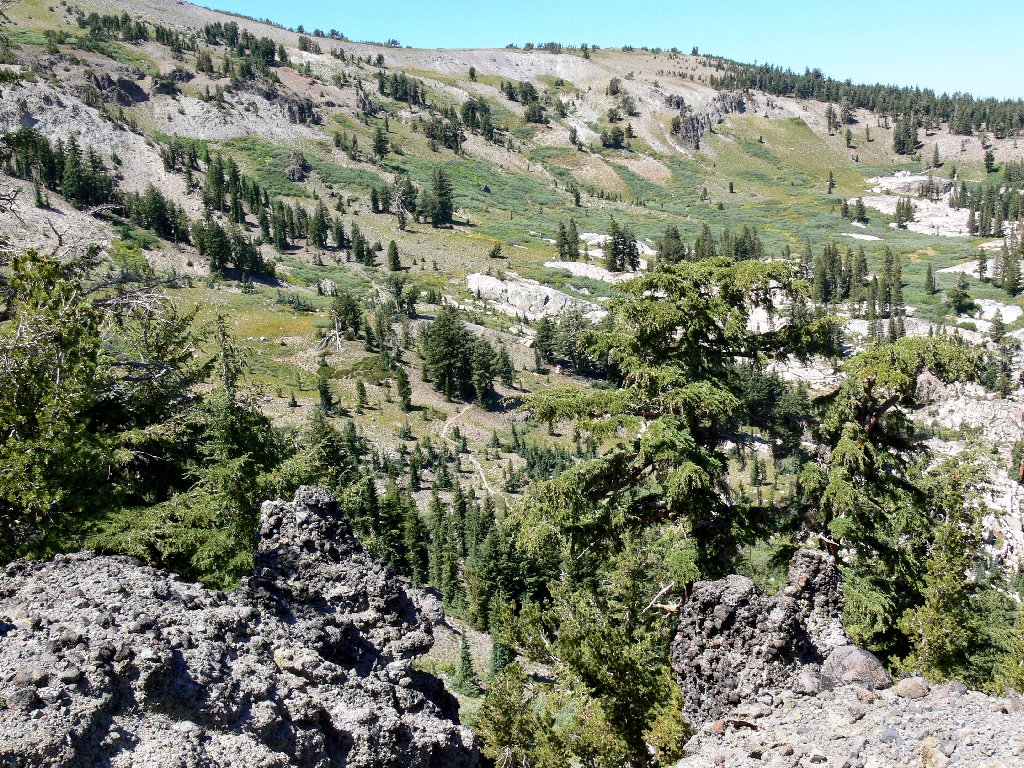
The PCT winds northward
Rather than continue straight up the hill another several hundred feet, I turn southward across the steep slope, which proves quite difficult to negotiate. The going isn't too bad on the grass and brush, but a lengthy barren section of loose scree makes horizontal traveling quite tiresome and very hard on the feet. Being compelled to rest frequently, I have ample opportunity to outwait the breezes and photograph the sporadic flowers on this otherwise featureless section of hillside.
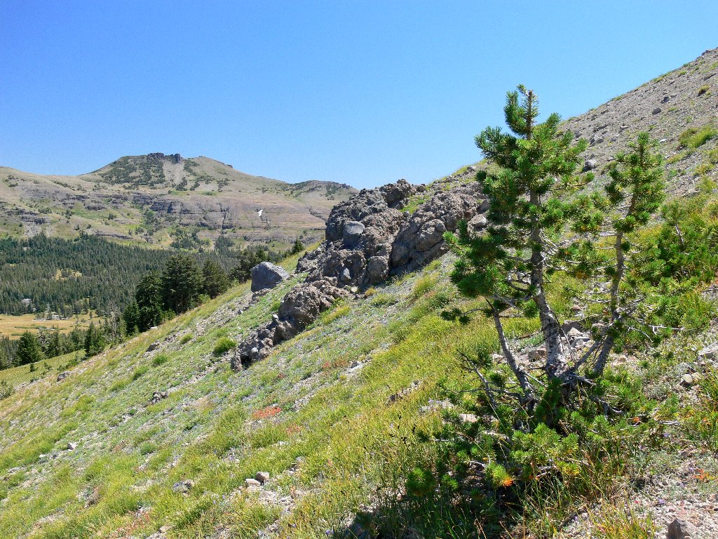
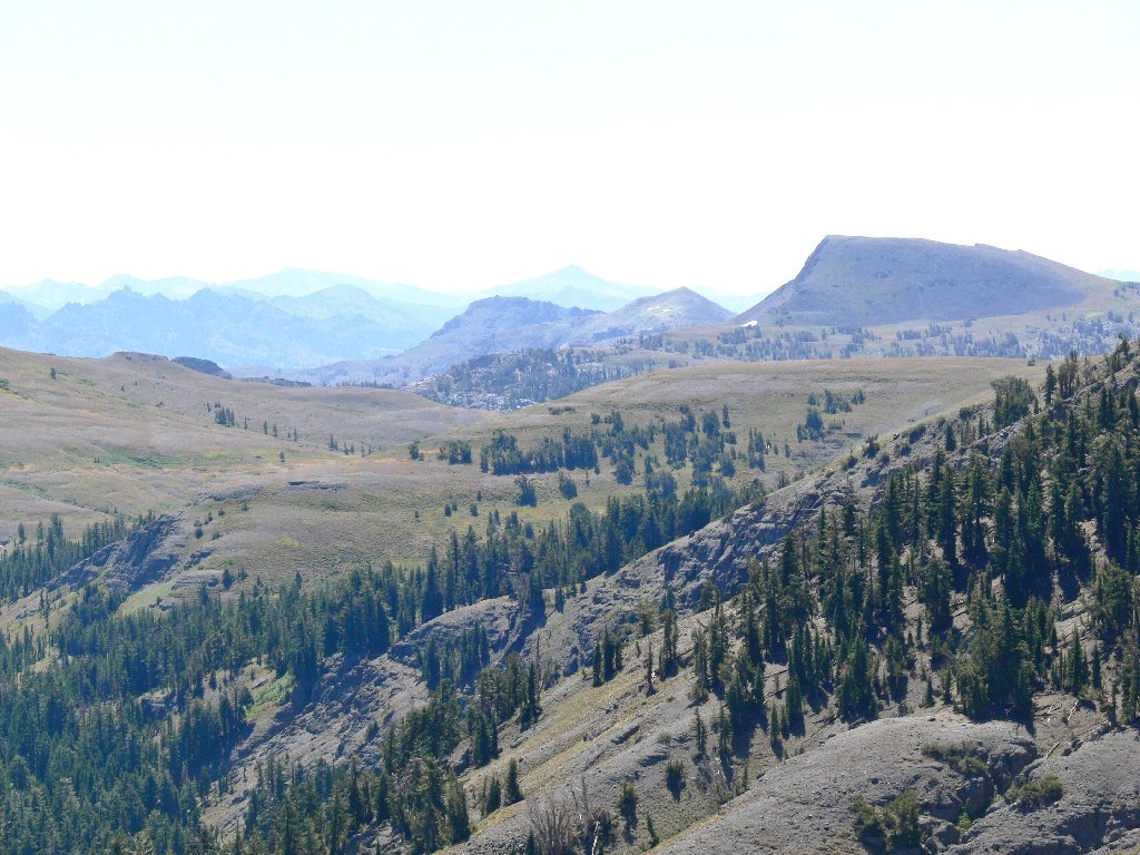
My route, and Red Lake Peak, 10069'
Last view of Showers Lake
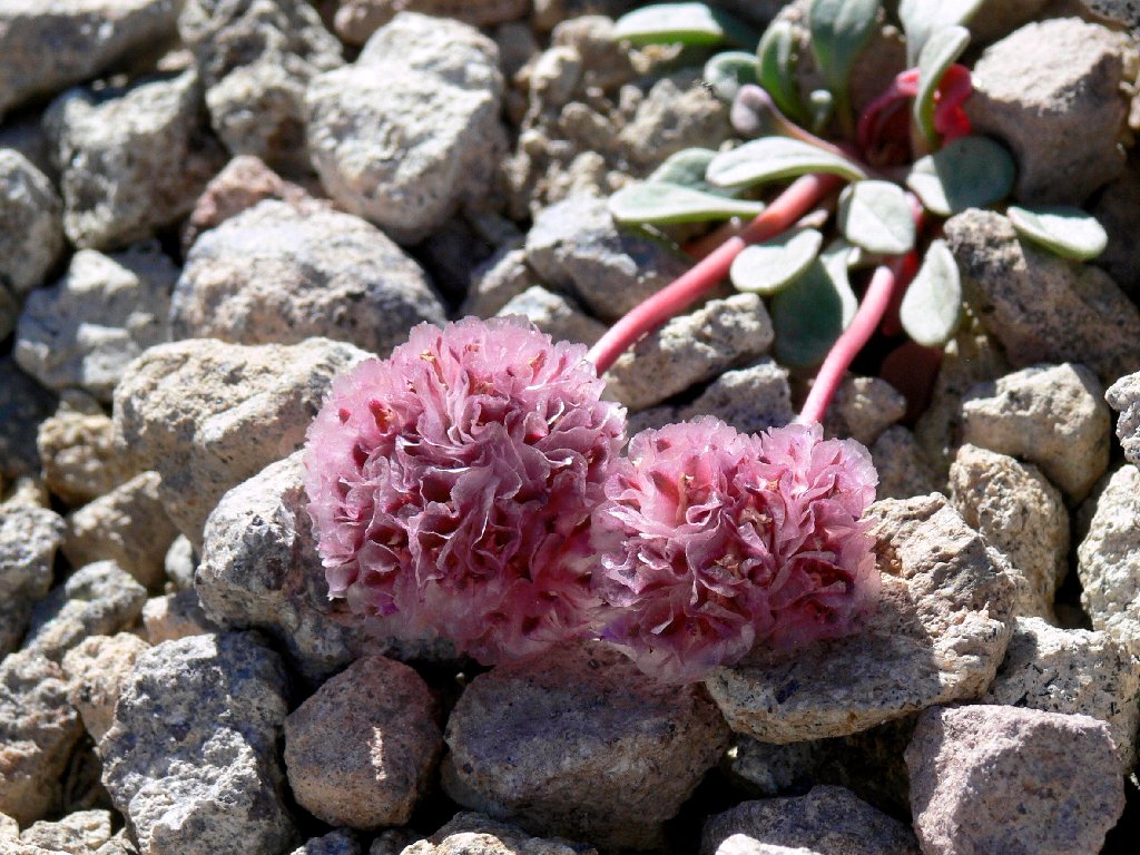
Pussy Paws
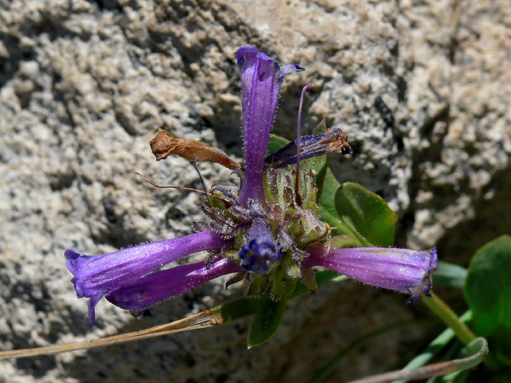
Sierra Penstemon
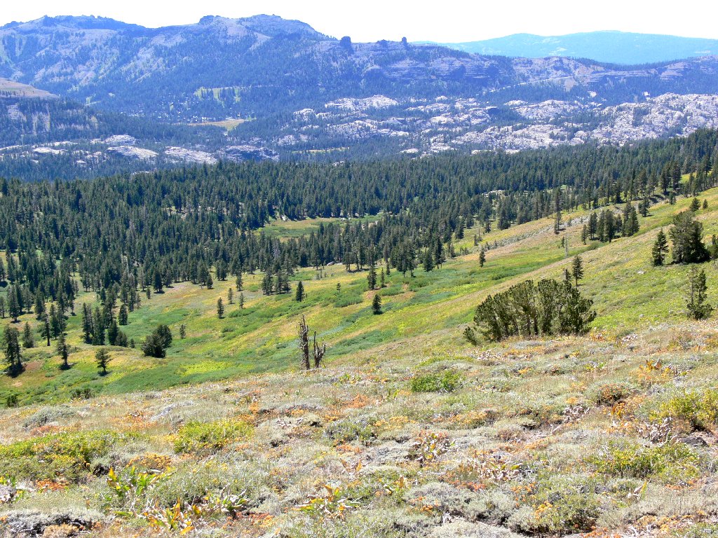
The view northward includes the high peaks of Desolation Wilderness as well as Mount Tallac, which overlooks Lake Tahoe.
Pyramid Peak, Jacks Peak, Dicks Peak, Mount Tallac
I spot Round Lake in the distance — recognizable by its distinctive green color. After a backpack over there in 1975, I had inscribed on my hiking guide the words, "best campsite ever".
Round Lake beyond, with my erstwhile trail below
I cannot resist yet another photograph of a spectacularly colored alpine favorite.
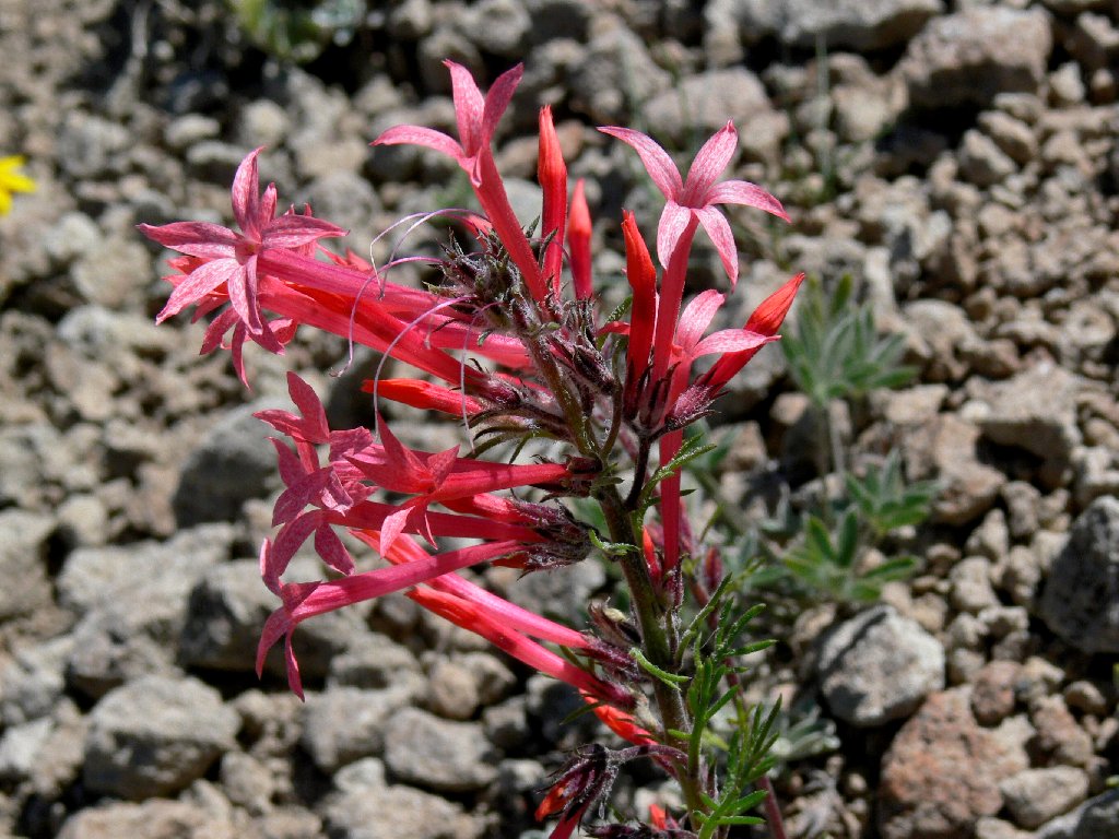
Slendertube Skyrockets
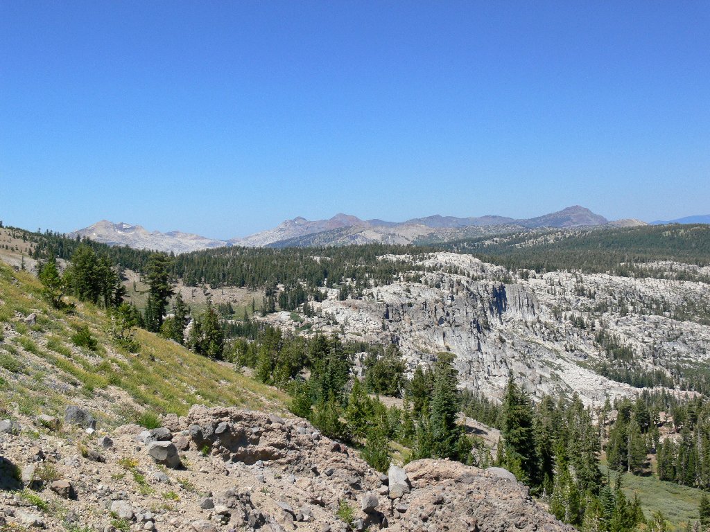
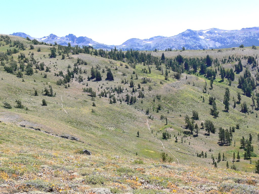
The ridge top finally appears, but any semblance of trail remains well out of sight. The distant hillside is covered by Kirkwood ski runs.
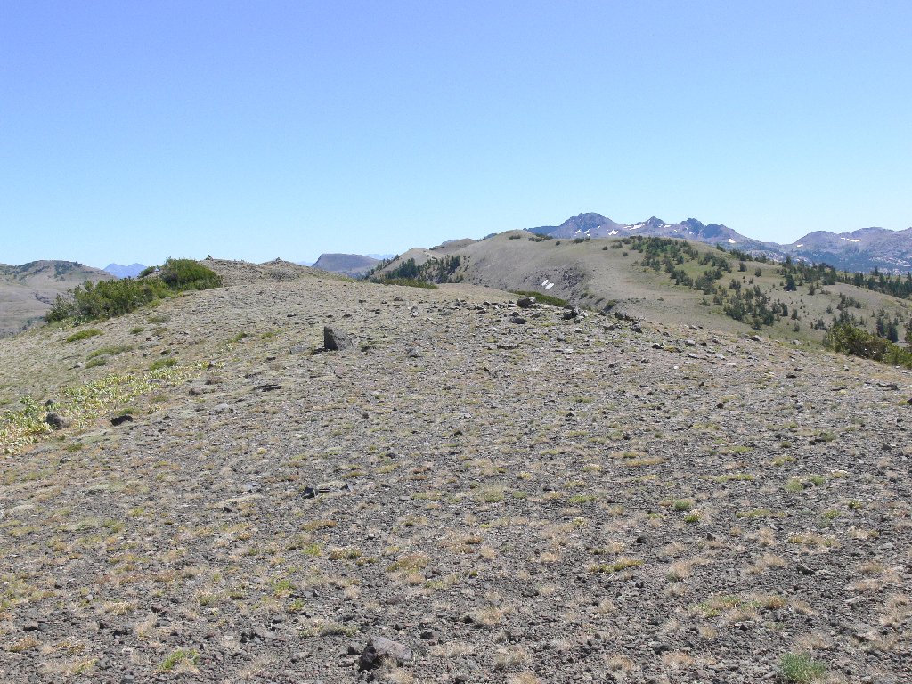
Round Top peeks above the ridge line
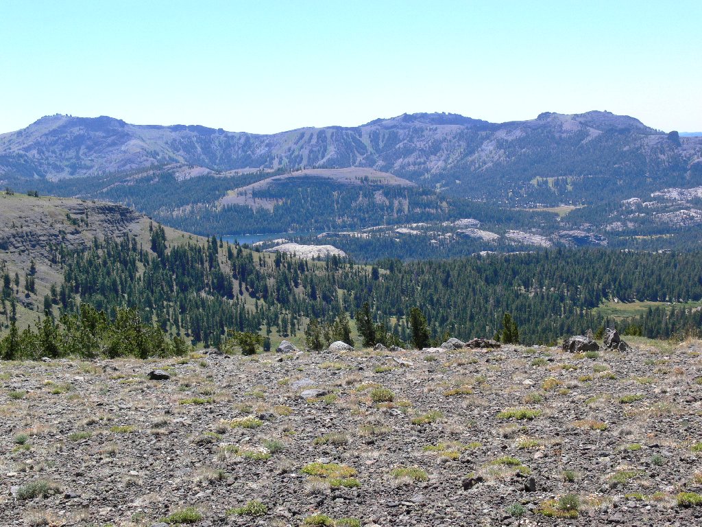
Caples Lake to the southwest
Looking westward, it looks like an easy traverse down to that smaller clearing where my car awaits me; so I eschew my plan to hook up with the trail and head straight down the hill.
Thunder Mountain, Martin Point, the Two Sentinels, and Highway-88
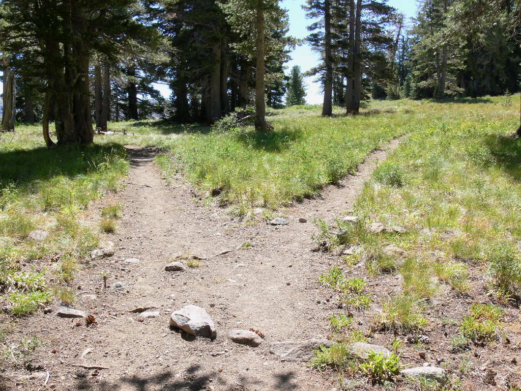
I can see the trail switchbacking down the slope about a quarter-mile away. One patch of thick willows and underbrush presents a problem, yet soon it is all but over. I do regain the trail in the trees, just in time to glance ahead and spot my car sitting there!
The trail criss-crossed the hillside
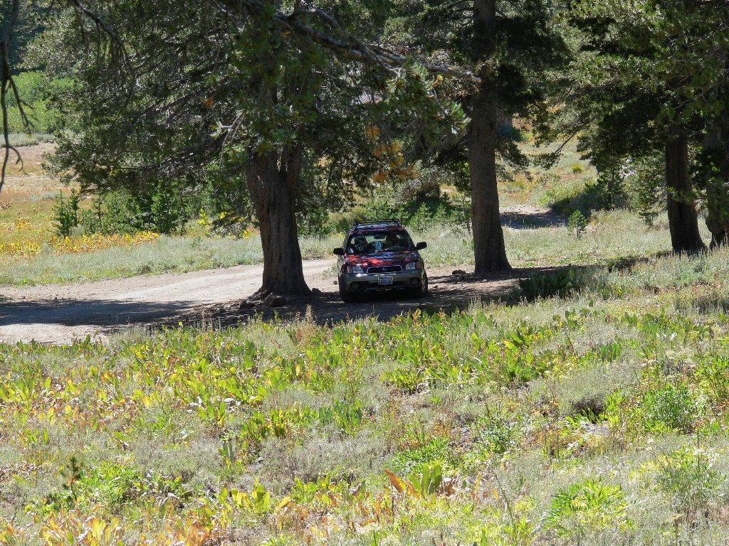
A welcome sight for tortured feet
§: I had not planned for the entirety of the return route to be
cross-country, yet that's how it worked out. It is up to 70°
here now — time to quit. It will be nearly 30 degrees higher
in the valley when I reach home.
According to other reports, this is easily the least-used trail in the
Dardanelles Roadless Area; yet its elevation high-point provides perhaps
the best overall views. Alternative nearby routes include a spur to Little
Round Top, which actually is just another bump on the ridge. If you want to
climb a real mountain, try the real Round Top six miles to the south.
| Scenery |  |
| Difficulty | |
| Personality |  |
| Flowers | |
| Solitude |  |
