
Lakes Basin Recreation Area
|
Jamison Lake Loop Lakes Basin Recreation Area |
June 29, 2014
My wrist fracture is two months old now. Rehabilitation of the atrophied
muscles and tendons is going well enough that I want to try a major walk free of
medical encumbrances. Although it is hot everywhere today, it is supposed to
reach only about 80 degrees in the Graeagle area; so I will give it a try.
Back in the seventies, it was necessary to wait until mid-July to hike
around here; but those days are long gone. Today there is barely a hint of
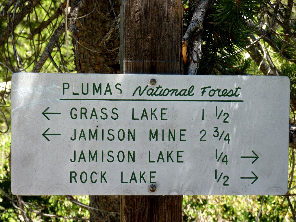
snow in sight. I spot a trail-access road just before reaching the
Plumas-Eureka State Park Headquarters. A dozen other cars are parked
at the trailhead already.
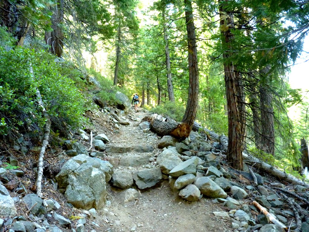
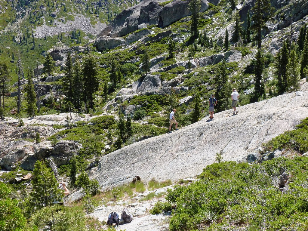
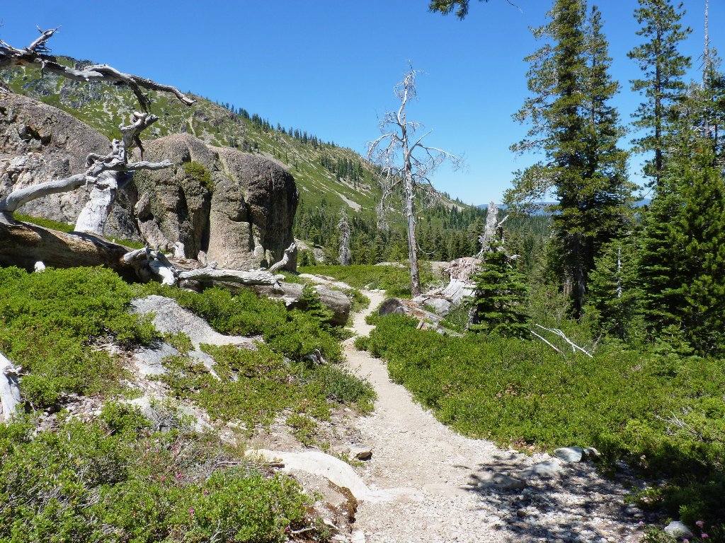
Getting started
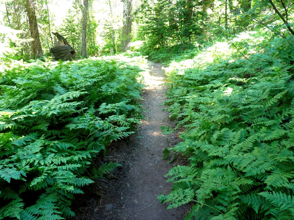
Early in the walk, there are many rock steps to surmount. This section will not be much fun on the return.
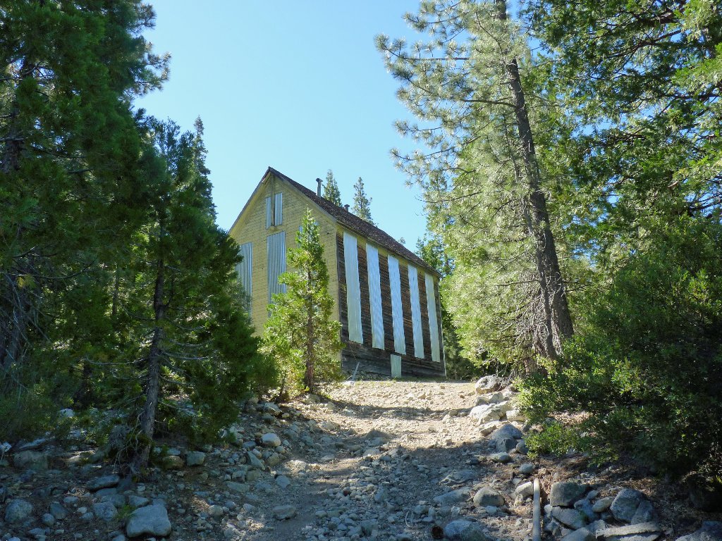
The Jamison Mine operated from 1887 to 1919
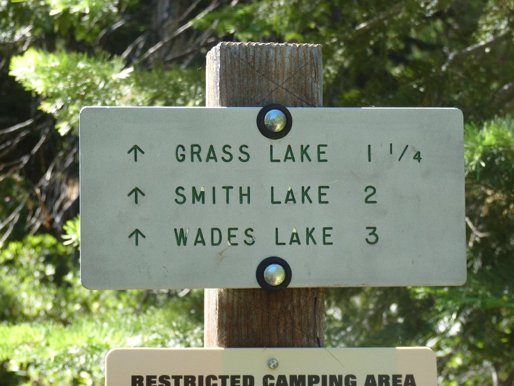
After passing a trail junction to Smith Lake, a sign points to a nearby attraction:
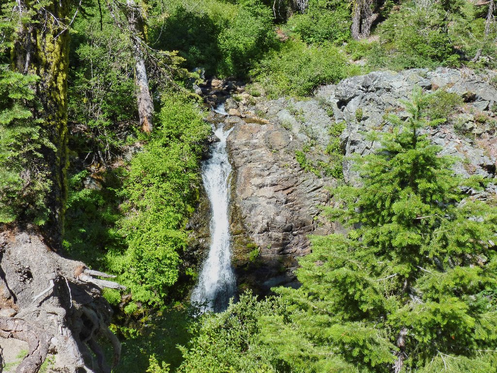
Little Jamison Falls
Just past here I leave the state park and enter the recreation area proper. I always have enjoyed the flowers in this area — especially the signature tiger lilies that are out in great numbers today.
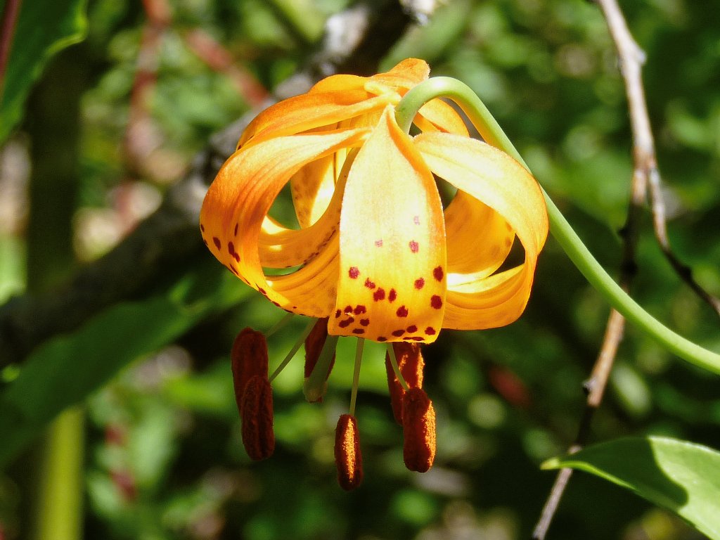
Columbia Lily
I reach the first lake just in advance of a mother and her two boys, who are looking for a fishing spot. I hope that they don't follow me much farther, because one of them is carrying a noisy boom box.
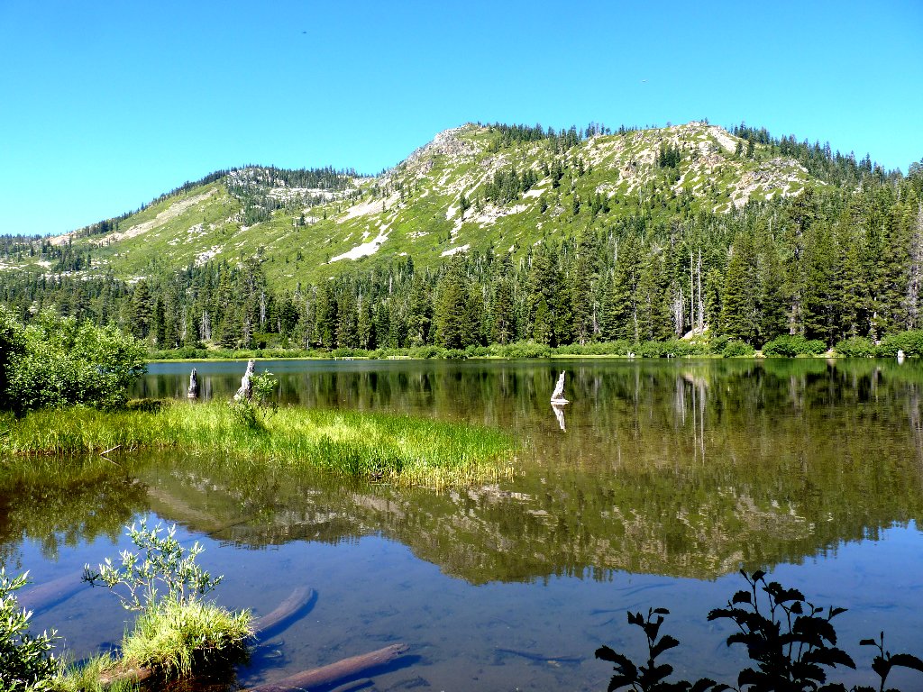
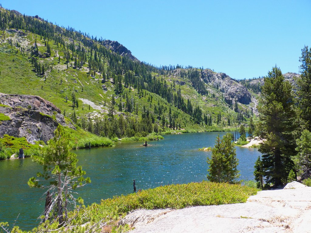
Grass Lake and Mount Washington, 7369'
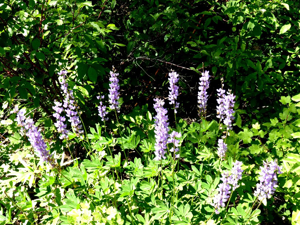
Lupine and ferns
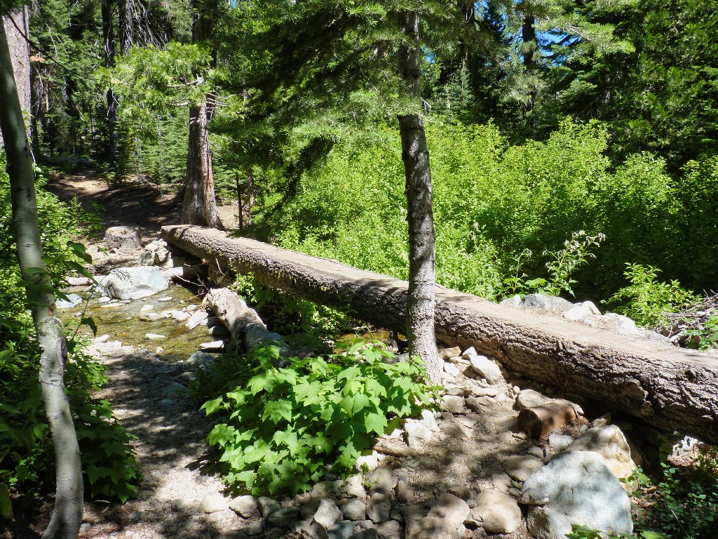
A nifty crossing on Little Jamison Creek
The trails in here are quite well-maintained, and the signposts are readable. Kudos to the Forest Service for that.
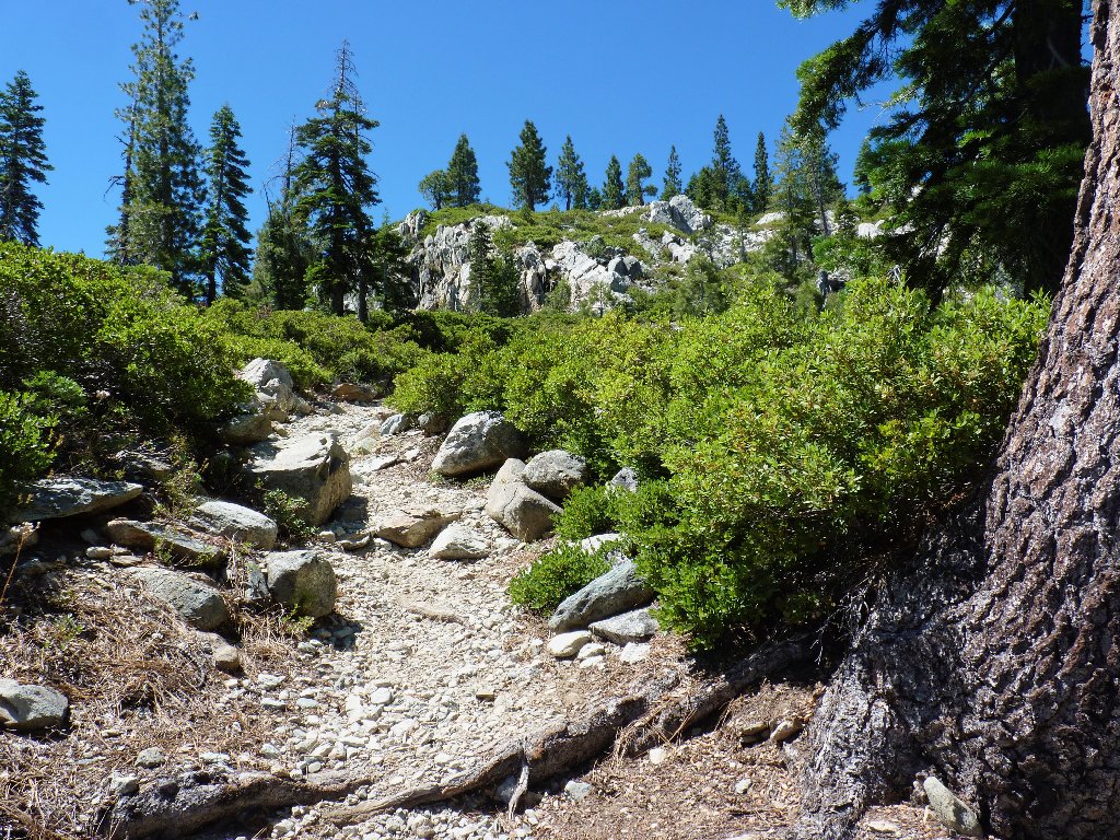
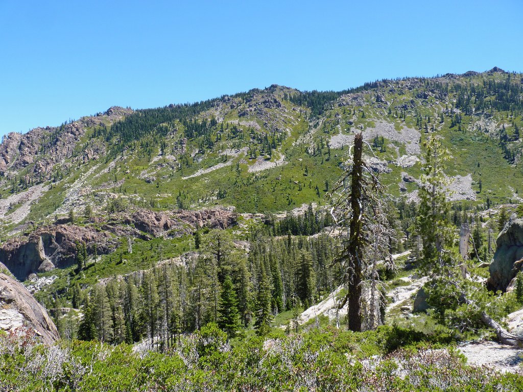
The route steepens
Grass Lake below
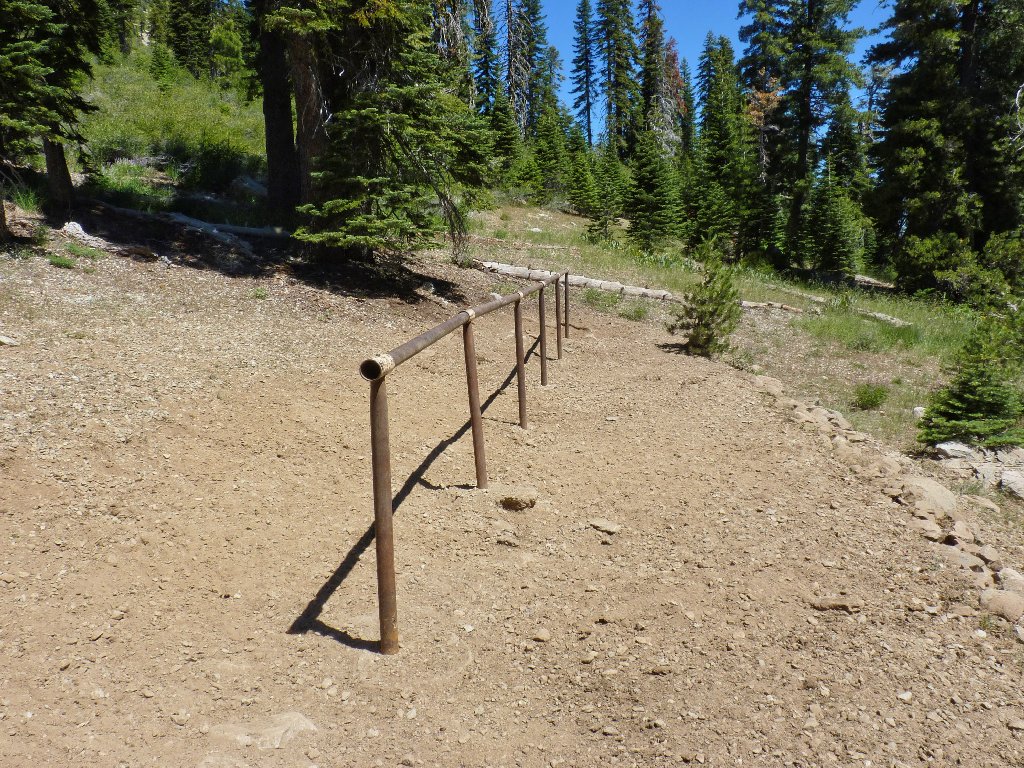
Horse tether
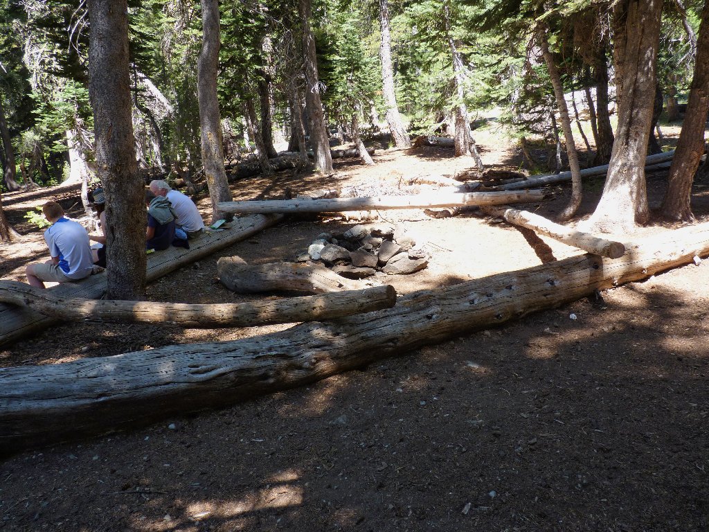
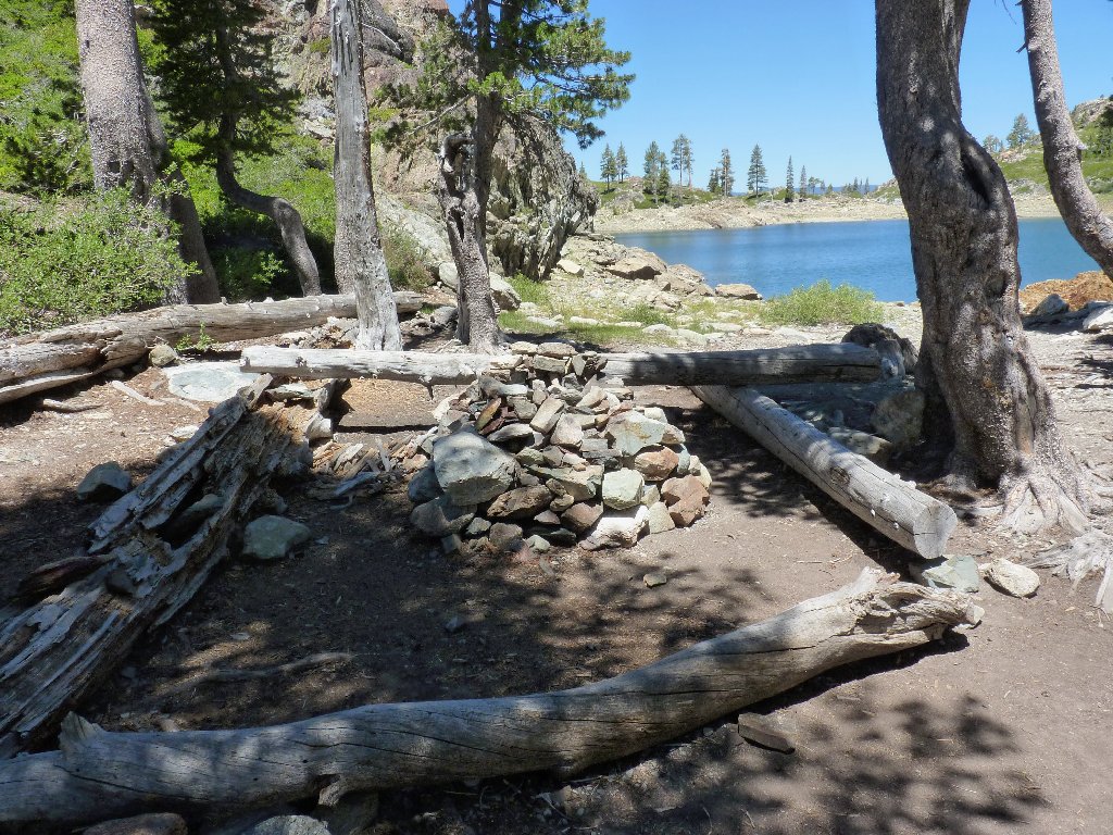
Nice camp setup
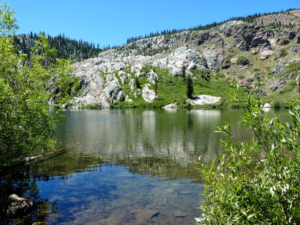
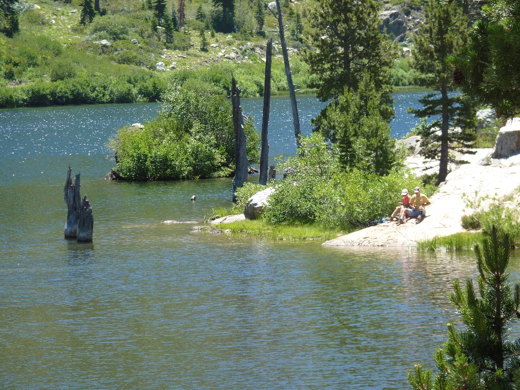
Wades Lake
I hear a couple of swimmers out there somewhere
I have been chatting with the foursome at the campground. When Cindy starts to take a photo of the others, I suggest that she could get into the picture as well. Cindy replies, "Oh, no; then I would have to climb that rock!"
Continuing the loop past Wades Lake
Mount Elwell, the area's high-point at 7818', is on the far right
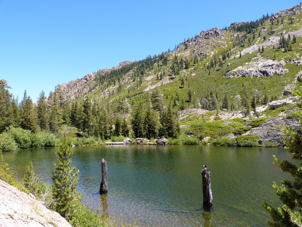
By following the signs, I find myself at the prettiest spot on today's trail:
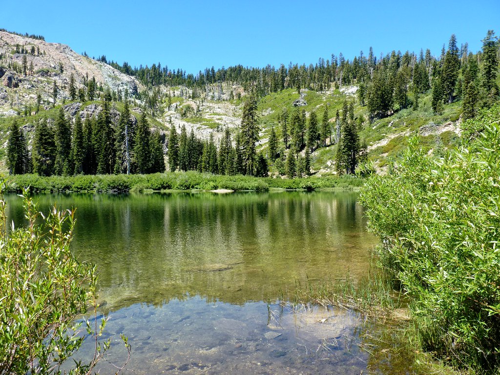
The northern portion of Jamison Lake
There is but a faint trail past this viewpoint. I opt to go no farther,
but for an unusual reason: I am running out of water! In my somewhat
discombobulated medical state, I had forgotten to check the contents of
bottle #2, and I don't have my filter bottle with me today.
Enjoying the 'beach'
I'm not so thirsty, however, that I will forgo the short detour over to peek at Rock Lake. The directional sign is missing, but the route is fairly obvious.
Last view of Jamison Lake
First view of Rock Lake
It is my understanding that this body was created solely to support the Jamison Mine. That would explain its relatively unnatural location and appearance. Jamison Lake might have been dammed up for the same reason.
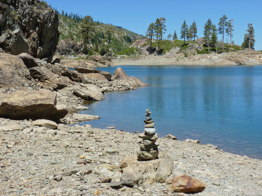
Rock Lake
I spot a man drying off from a swim. Spotting me, he promptly offers to share some trail mix. Steve, from Oakland, spends a lot of time up in this part of the mountains, where the relatively low elevations make for warmer water and better swimming.
Learning that I play piano, Steve confides that he has been at the keyboard
for a few years himself. When tendonitis ended his long career on the
guitar, he had to try something else. So here we are: Steve, with ailing
tendons and four years' experience, can play piano; while Ted, with ailing
tendons and sixty-seven years' experience, can't play a damn thing
(at the moment). Go figure.
As I prepare to depart and because I hinted that I am low on water, Steve offers me a nice drink from his own supply. I feel compelled to comment that one meets the nicest people on the trail.
That old guy has seen it all
But now it's time for the hot slog back. It seems to be quite a bit warmer than the weatherman had projected, and I still am three miles from the trailhead. There is nothing for it, however, but to stick my Walkman on my head and start trekking.
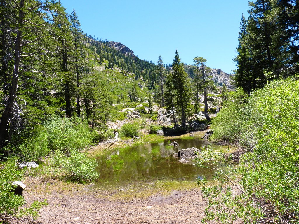
Random pond
Were I truly desperate, I could drop a couple of Halazone tablets into some water from Grass Lake and wait twenty minutes for the chlorine to do its thing; as it is, though, I think I can make it. Along the way, there always is time to revisit the flowers.
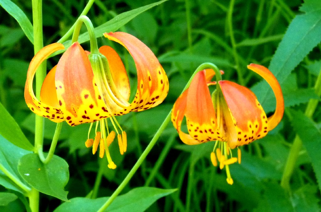
More Tiger Lilies
§: All of the Lakes Basin area features mellow hiking —
not too steep, not too difficult, and not too busy. The air temperature
was 88 degrees at the finish today, which is way to hot for pleasant
hiking; but I met some nice people on the trail.
| Scenery |  |
| Difficulty |  |
| Flowers |  |
| Solitude | |


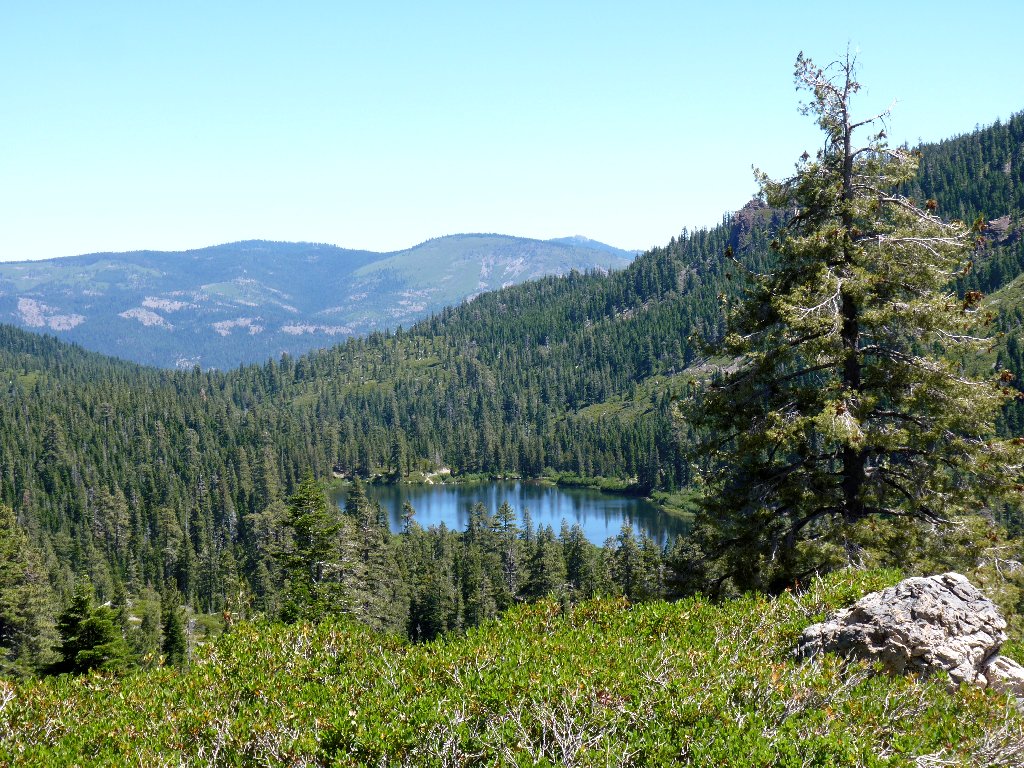
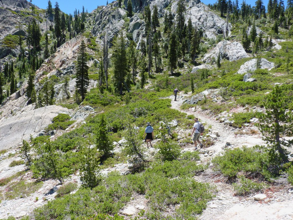
A bird's-eye view of Rock Lake is rather more interesting than the lakeside look:
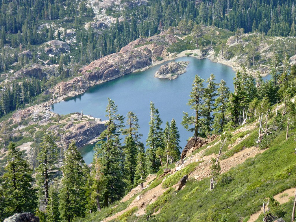
Rock Lake from the Mount Elwell Trail,
Hike #133
