
Lakes Basin, Plumas NF
|
Mount Elwell Lakes Basin, Plumas NF |
September 07, 2011
Having visited the Lakes Basin area several times over the last forty years, I did climb the area's major peak once a long time ago. My sister Margaret is camping nearby, so I will try it again today with her company.
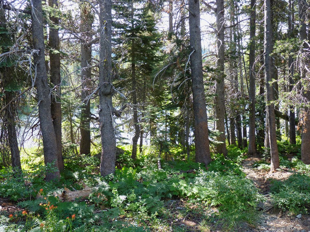
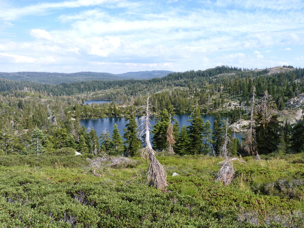
The most scenic route starts out southward, directly away from our primary objective; but soon it starts to circle back in the necessary direction. We pass by three lakes in short succession; one is quite nice, but the other two are relatively uninteresting.
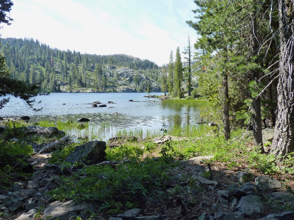
Big Bear Lake
Little Bear Lake
Cub Lake
During the next climb of several hundred feet, it becomes clear that Margaret is not her usual self today. Lagging behind and resting a lot, she normally walks quickly enough to keep me panting.
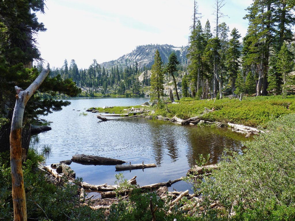
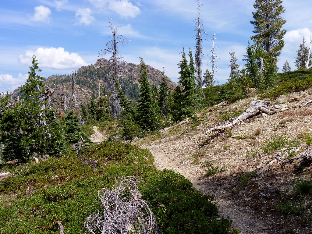
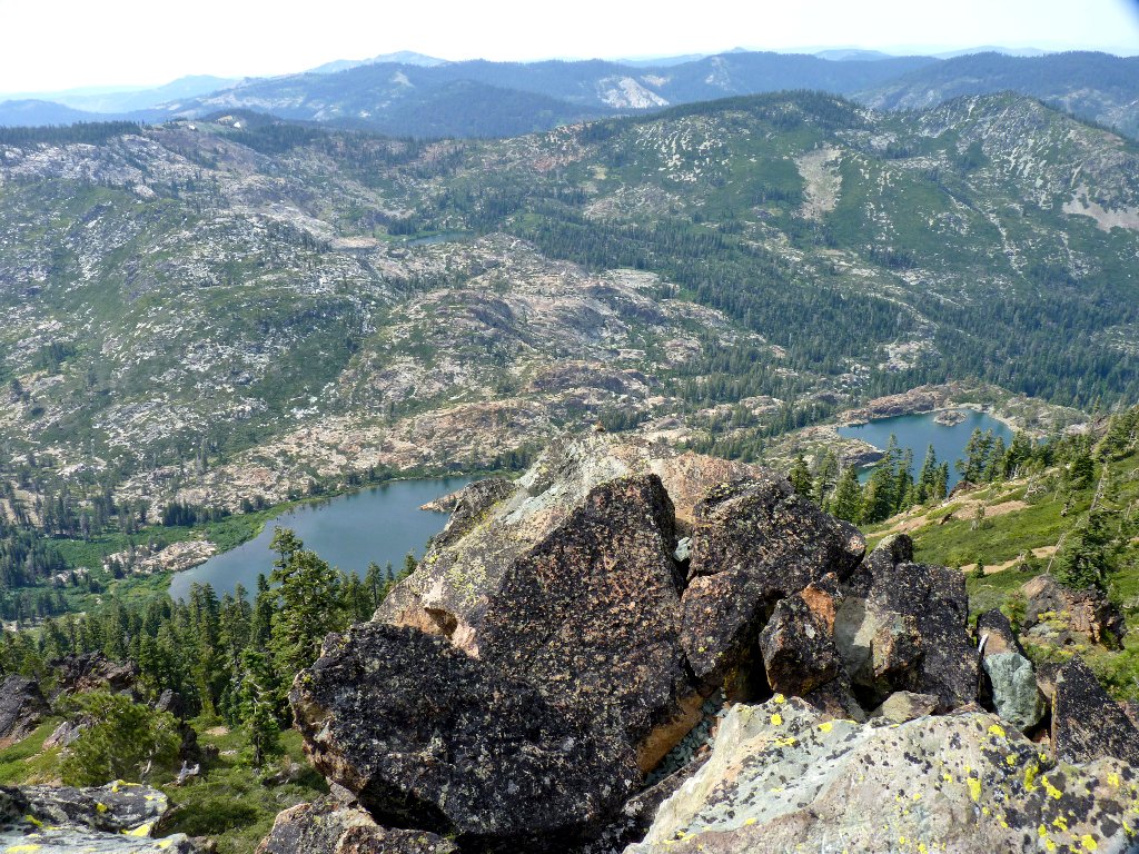
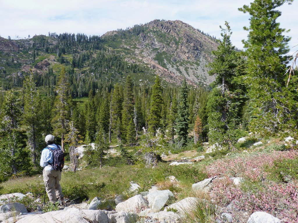
An interim high-point on our route provides a first view of Long Lake, the basin's biggest, and a first good look at the mountain on the lake's far side.
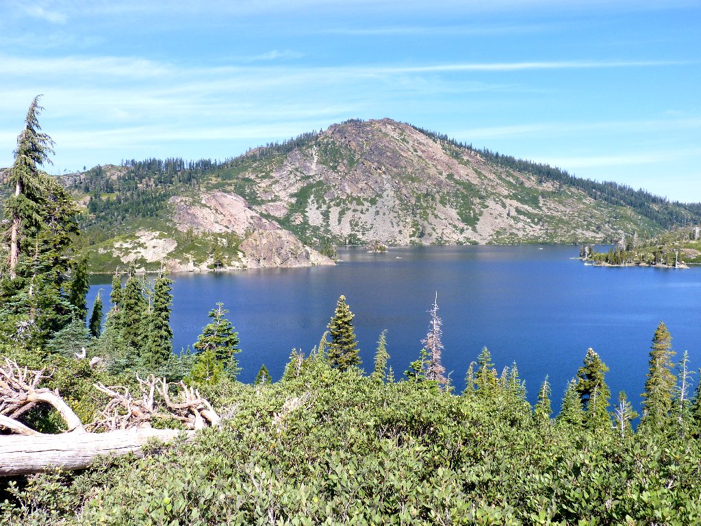
Long Lake, 6555', and Mount Elwell, 7818'
Two more lakes and a couple of ponds follow in short order.
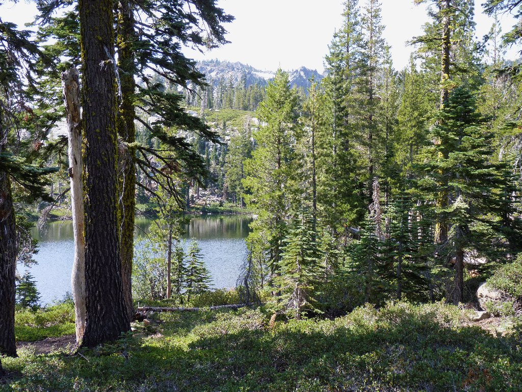
Silver Lake
Beside this lake is a trail junction. The sign says to turn right for
Mount Elwell, but that route would necessitate an immediate descent of 500 feet
which must shortly be regained, resulting in a 1,300-foot switchback up
the mountain. With another plan in mind, I steer us westward up the ridge
toward the Pacific Crest Trail.
Silver Lake
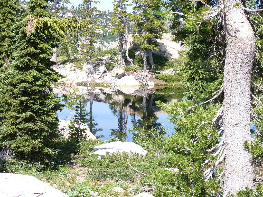
Helgramite Lake
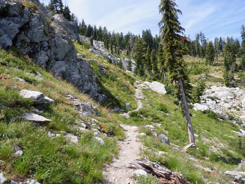
A well-graded ascent
On this section of trail are a couple of verdant spots supported by nearby springs.
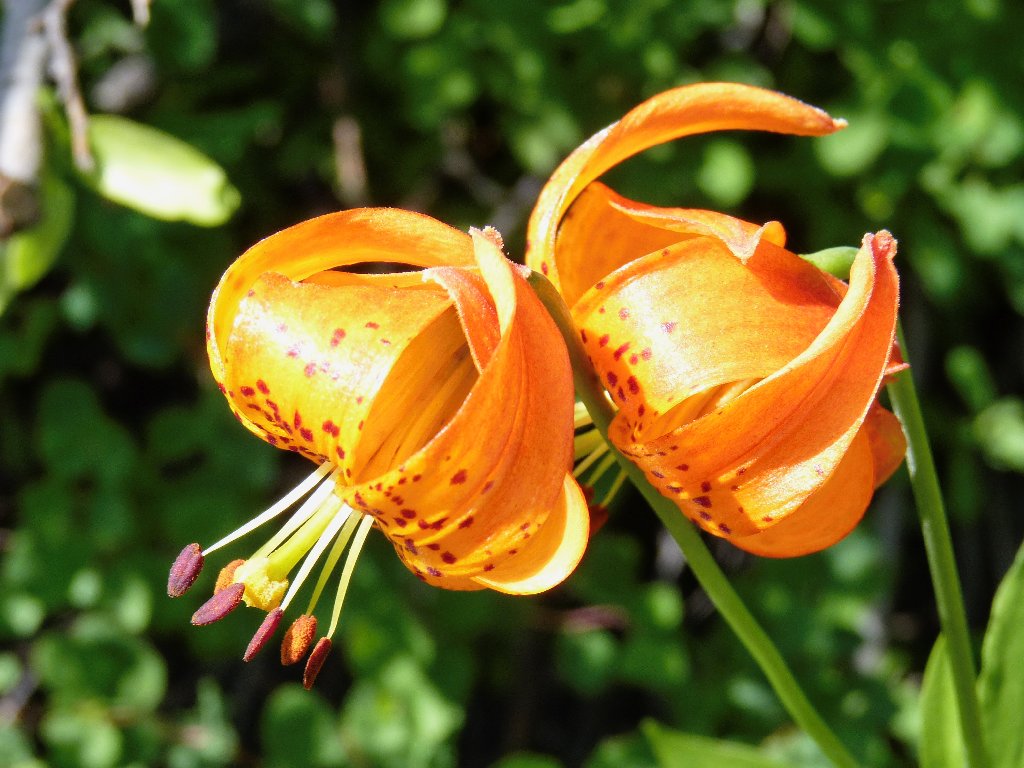
Tiger Lily
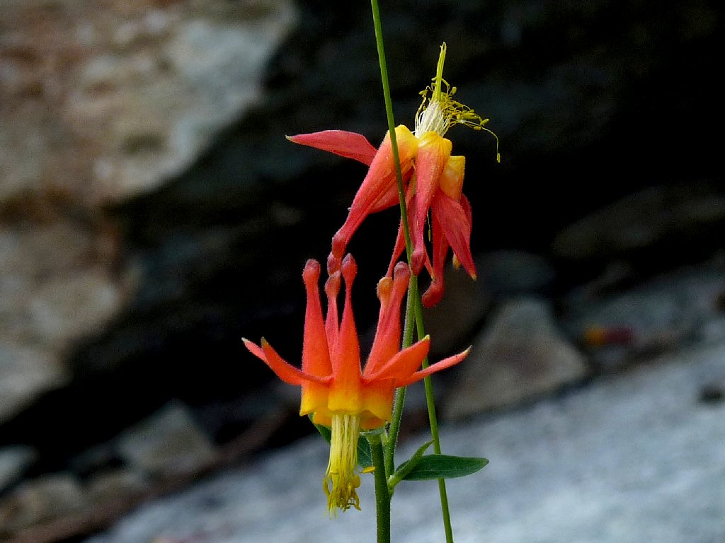
Crimson Columbine
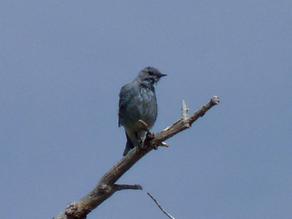
The only wildlife on today's trek, identity unknown
Atop the ridge, the going is easy. Although the Pacific Crest Trail is nearby, we don't actually encounter it.
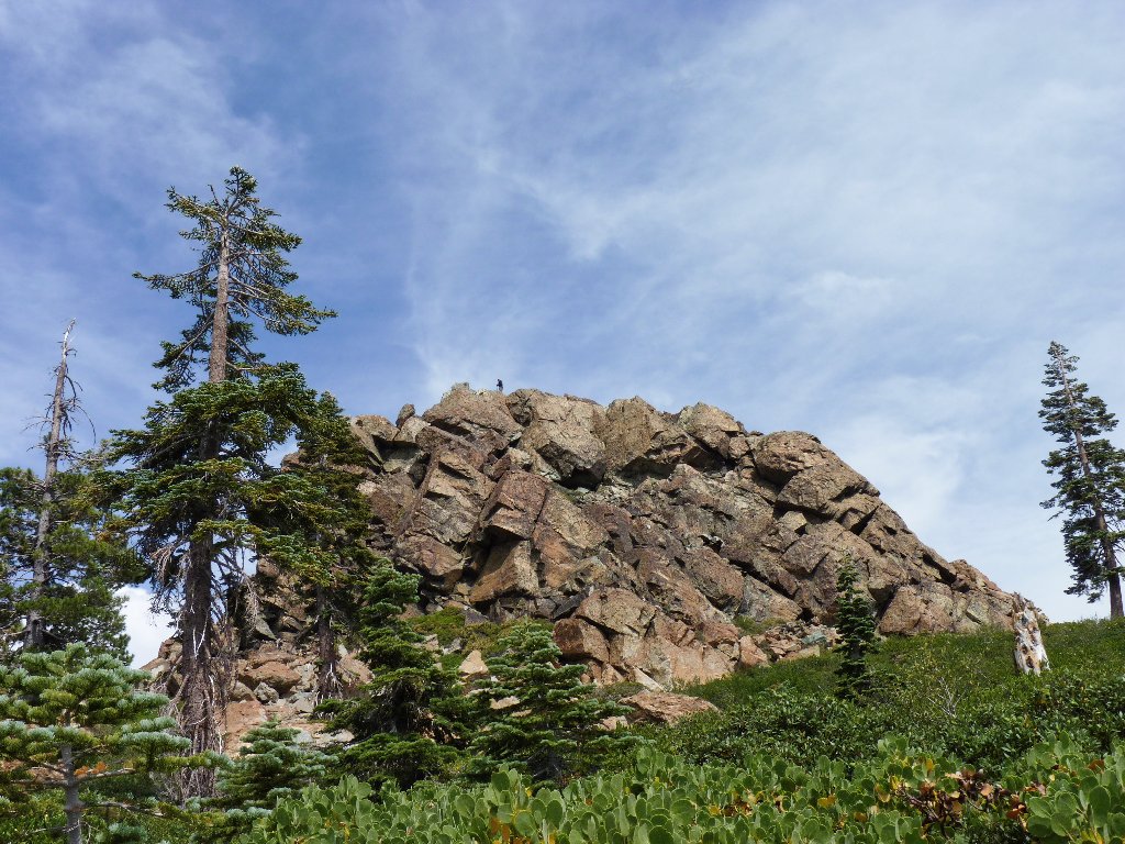
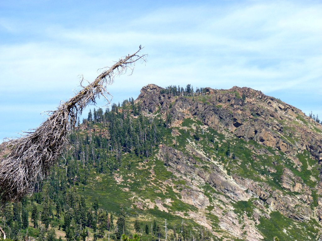
A lone figure on the distant summit
At the base of the mountain and at yet another major trail junction,
Margaret elects to forgo the final pitch. Besides being off her feed,
a boot is chafing her foot; so she will rest here as I plunge up the hill
alone. The fairly steep climb — 800 feet in three quarters
of a mile — takes me all of forty-five minutes including
rest stops.
Since the trail continues northward past the mountain, I manage to pass
right by the established semi-improved 'path' up the multi-colored
jumble. Primitive though the going is, I am able to achieve the top with
no boulder-hopping. The single hiker we had spotted from below has
morphed into seven men, who are conveniently leaving just as I arrive.
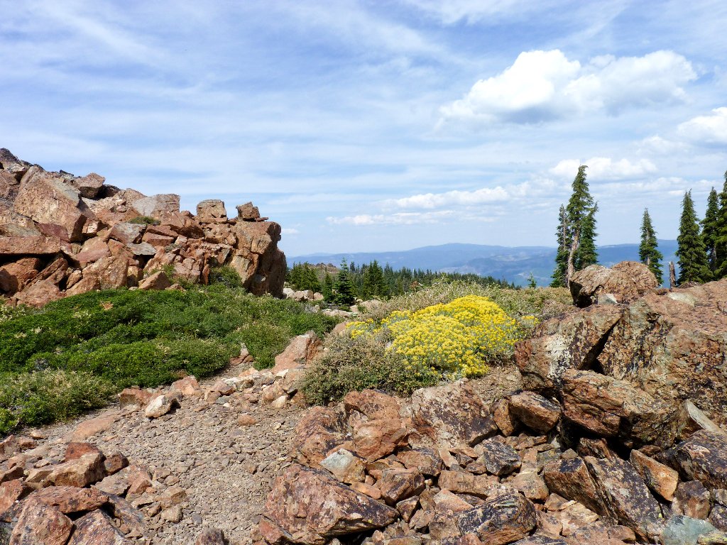
Just below the summit, looking north
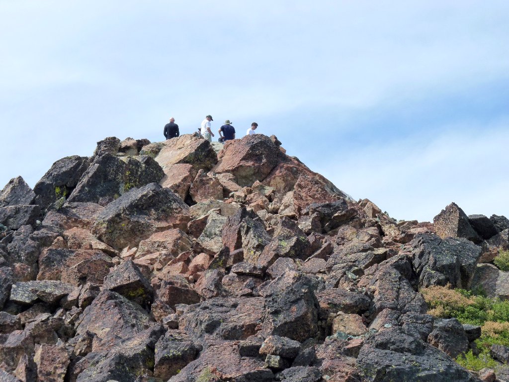
Those guys are departing just in time
The vistas from the summit are predictably outstanding, despite the plethora of smog cluttering the views. I was hoping to spot Mount Lassen from here, but that will not happen today. Behind Sierra Buttes I can just make out the even higher Mount Lola through the haze, nearly thirty miles away.
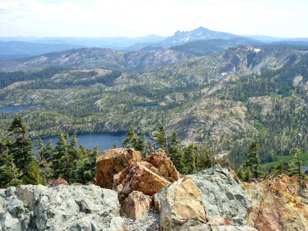
It is nine miles to Sierra Buttes, 8590'
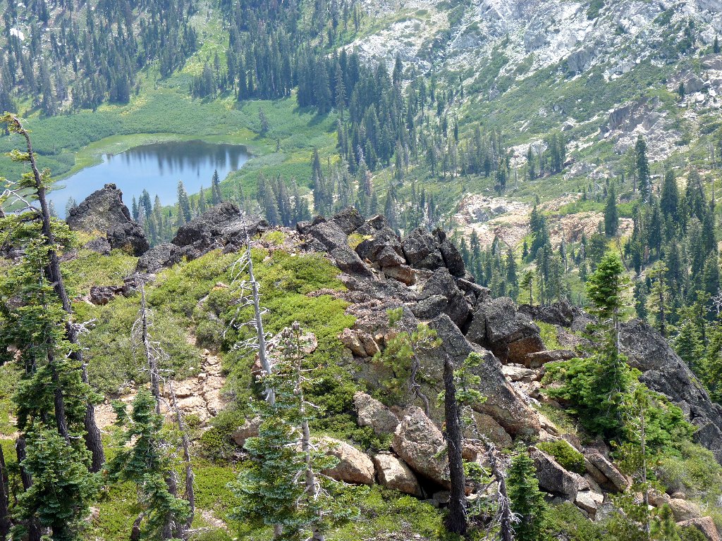
Mud Lake
Jamison Lake, Rock Lake, and Wades Lake up in the rocks
A visit to those lakes is on my to-do list.
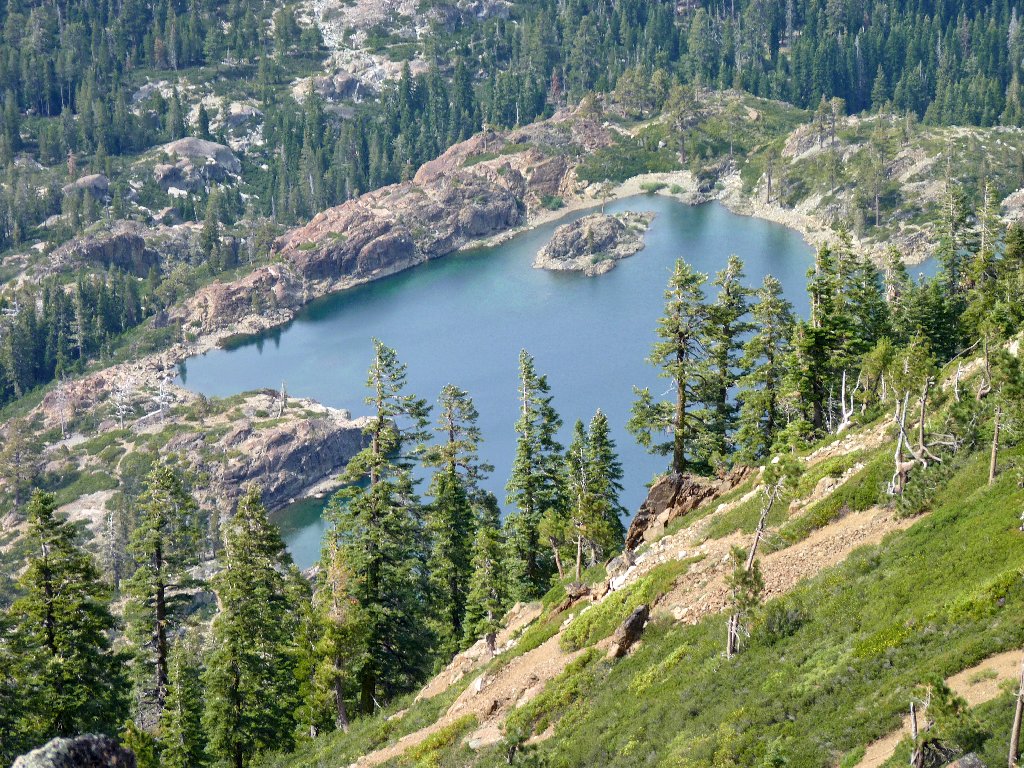
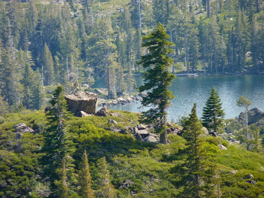
Rock lake is spectacularly situated
I spot another couple inching up the summit block, so I start down in order to let them have the place to themselves. As we pass, the man asks whether I am the one who "left his sister" down below.

Clambering up the rock jumble
Twenty minutes later I pick up my companion, and we head down toward Mud
Lake on a trail that is seriously overgrown with underbrush. At another
junction, we turn left directly toward Long Lake, just to see what is over
there. Presently we spot a strange covered structure with several
trap-doors in its roof. I attempt to open one of them; but it balks,
so we don't learn what is inside. It must be some sort of research project.
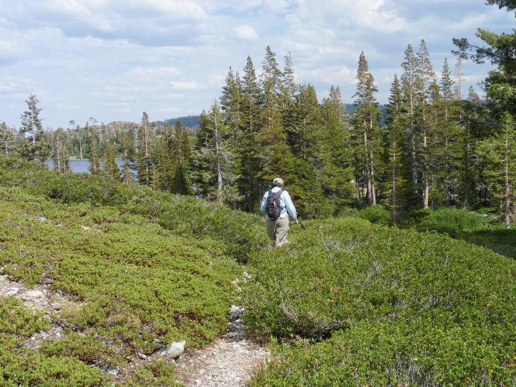
Heading for Long Lake
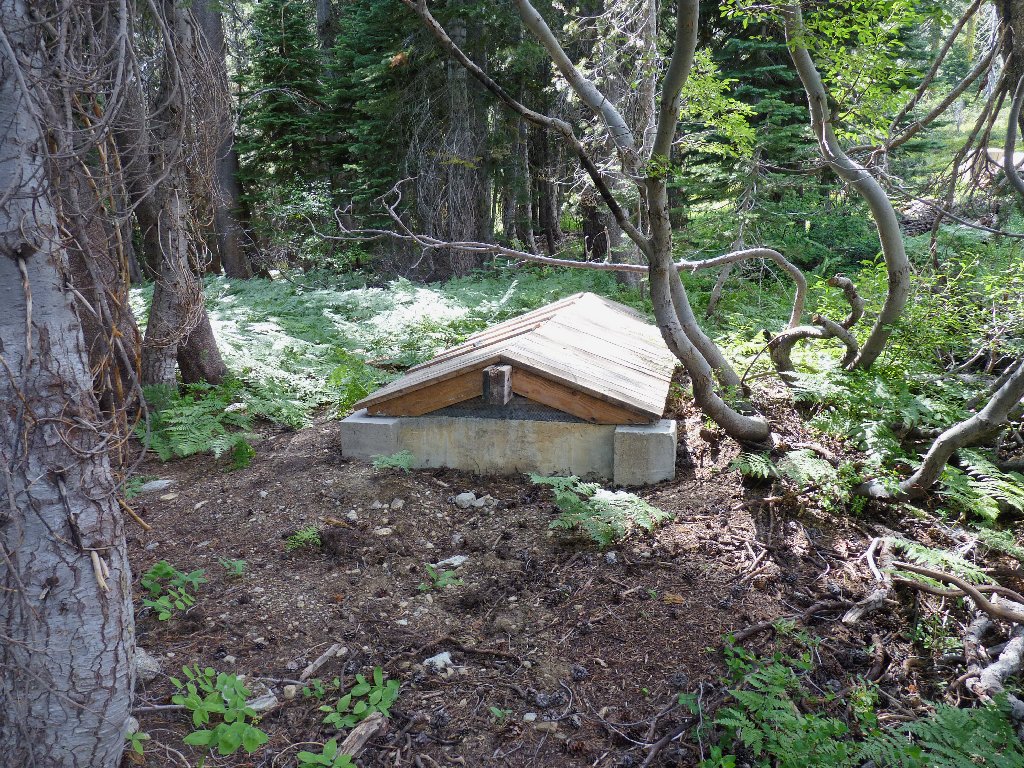
Purpose unknown
Bypassing a trail branch that plunges directly into a willow thicket, Margaret and I continue to the lakeshore, only to learn that we must return to that spur route in order to cross the creek without getting wet.
Directly ahead are a boat pier and a nice cabin — the only
one around. Apologizing to the man on the porch for intruding, he laughs
and says to follow the footprints to the right. Although a trail through
here is denoted on the topo sheet, apparently it has been out of service for a
long time.
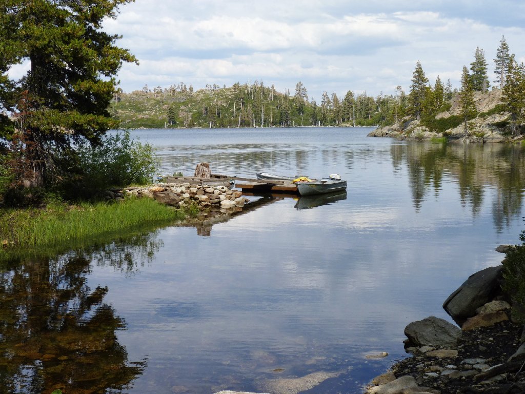
Boat dock on Long Lake
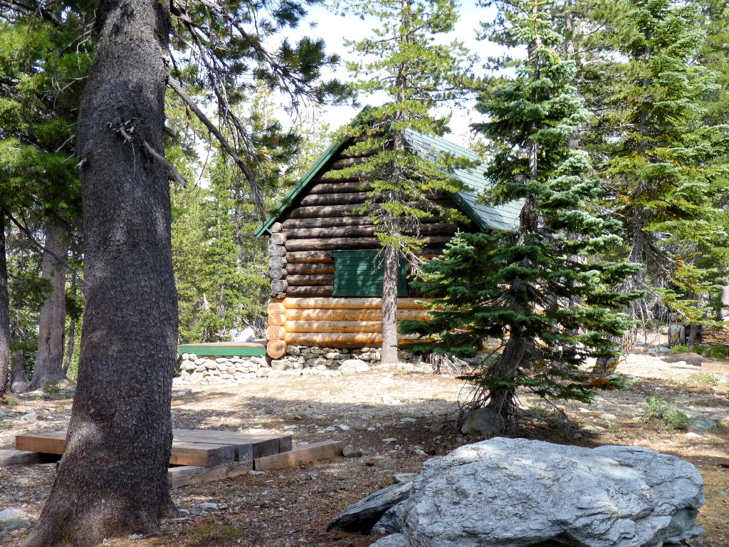
The only cabin in the forest
This residence sports its own semi-private swimming pond.
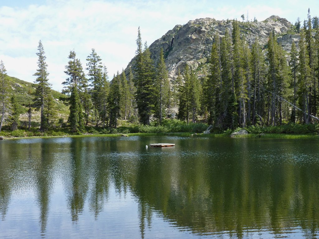
A sunbathing platform in the middle
The trail soon peters out, then disappears as we tackle the previously
avoided 500-foot hillside back to Helgramite Lake. The
cross-country going is friendly enough; but it is a climb, and there
is no other way to get around the south side of Long Lake.
A longing look back at Mount Elwell
One we get past Silver Lake, another trail option lets us veer left
and head straight for the parking lot, saving half a mile over the
multi-lake circuit.
Last view of any lakes
§: When I first visited here, there were numerous cascades
plunging down into Mud Lake. This time there was hardly any running
water at all, and it was hot out to boot. The area lacked its usual
sparkle today. It always is nice to conquer a mountain, however,
and I certainly did that. I also viewed nine lakes and couple of
significant ponds.
A trail from the Lakes Basin Campground around the north side of Long Lake would be the least strenuous option if one's only interest were in reaching Mount Elwell itself. The hiking mileage would be about the same as our own return route. A complete circuit of Long Lake would involve about half a mile of walking on the road between the campground and the Long Lake Trailhead.
This is an OGUL peak, which fact will be of interest only to the
peak-bagger set.
| Scenery |  |
| Difficulty |  |
| Personality |  |
| Solitude | |
