
John Muir Wilderness
|
Treasure Lakes John Muir Wilderness |
July 26, 2012
I am back at South Lake with my photographer friend Gary, whom I met here last year on Hike #126. There are two primary trails; this time we will explore the less popular one.
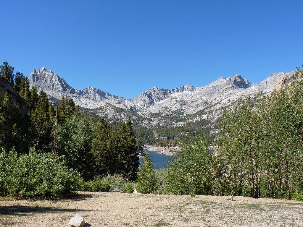
South Lake is quite depleted already
Getting started
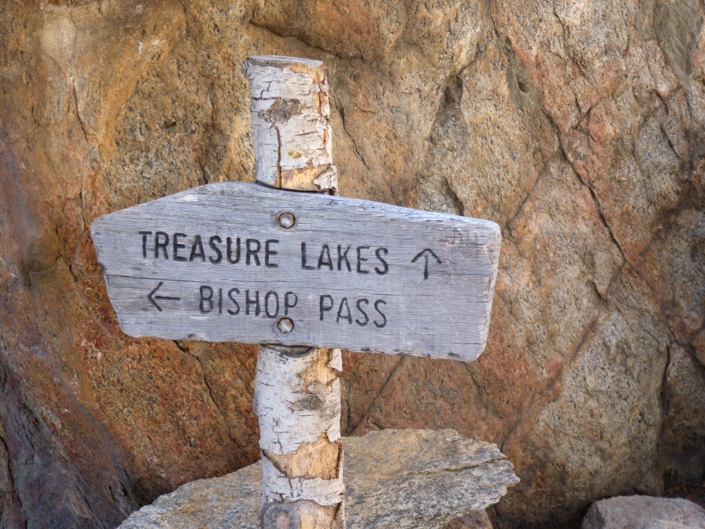
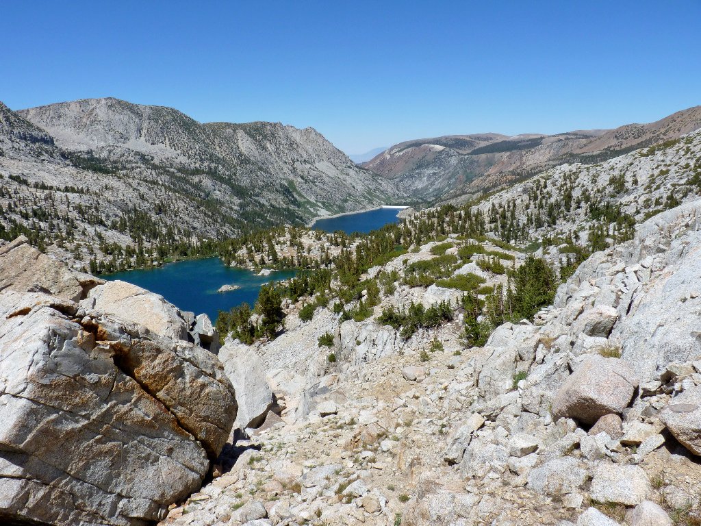
Treasure Lakes, here we come
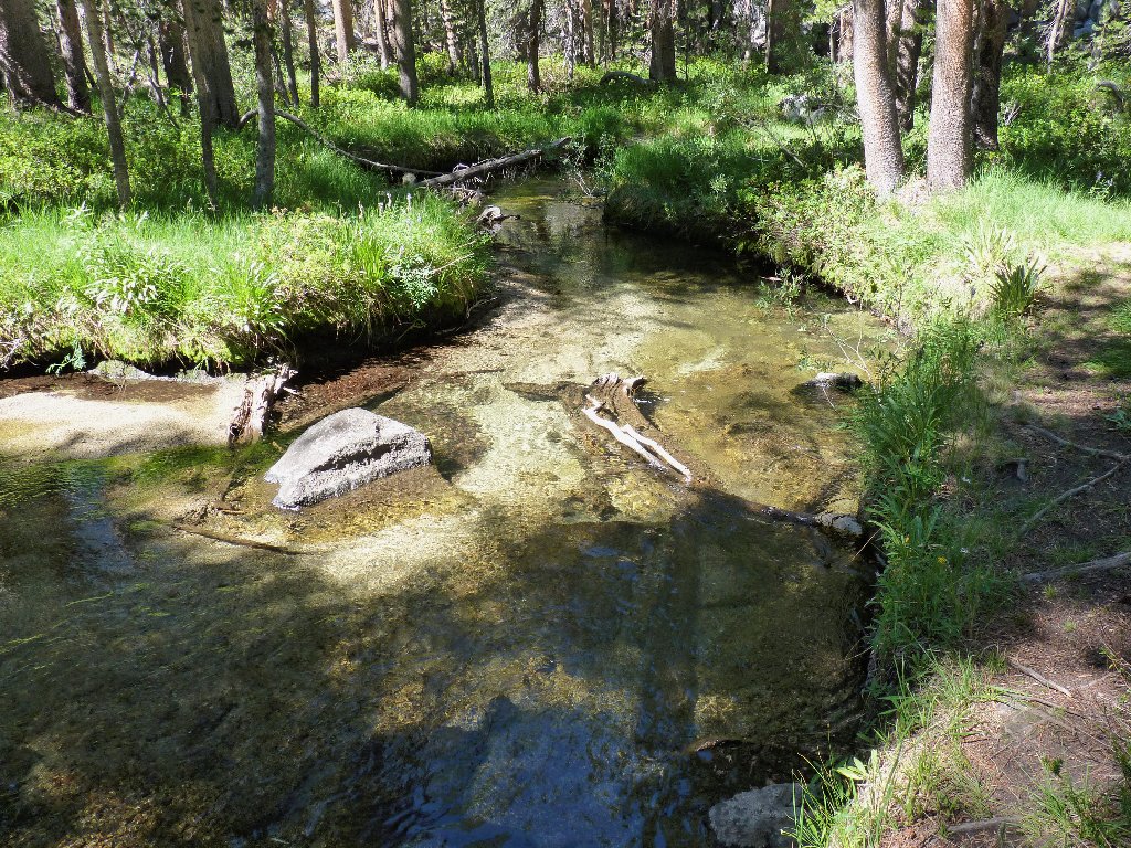
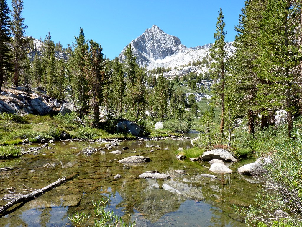
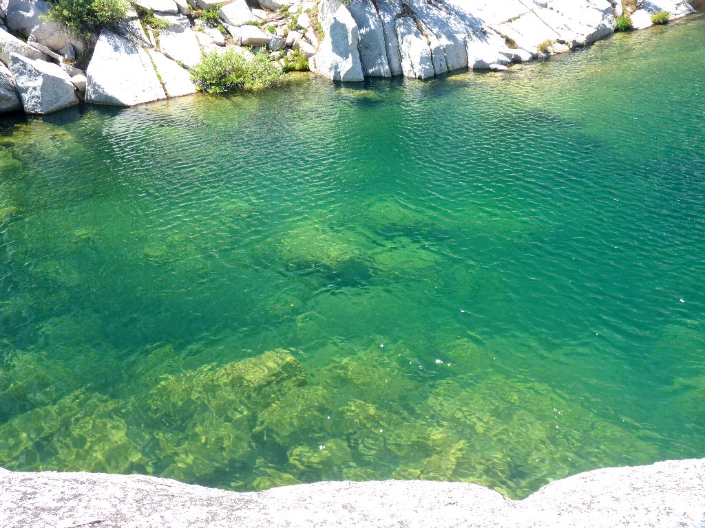
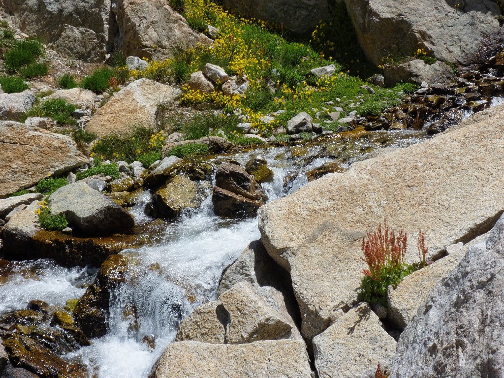
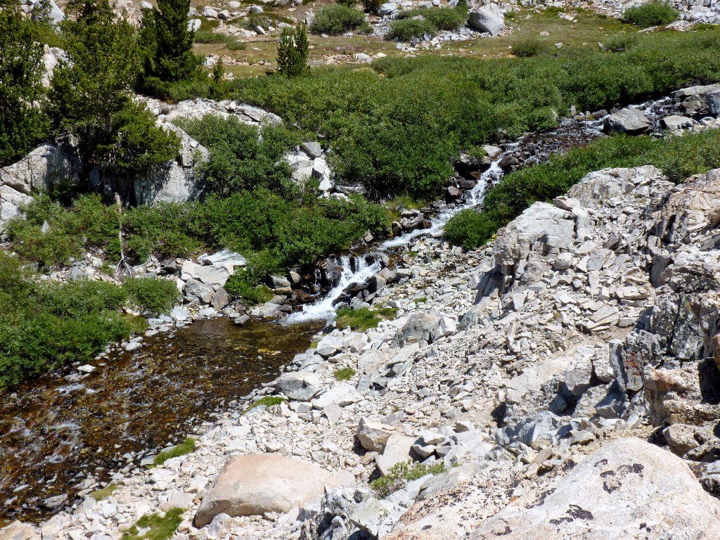
Nice clear water
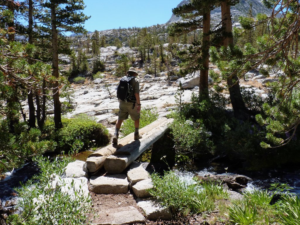
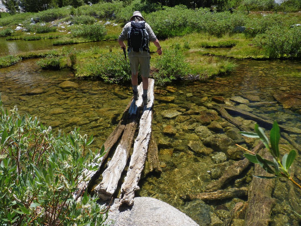
An easy crossing
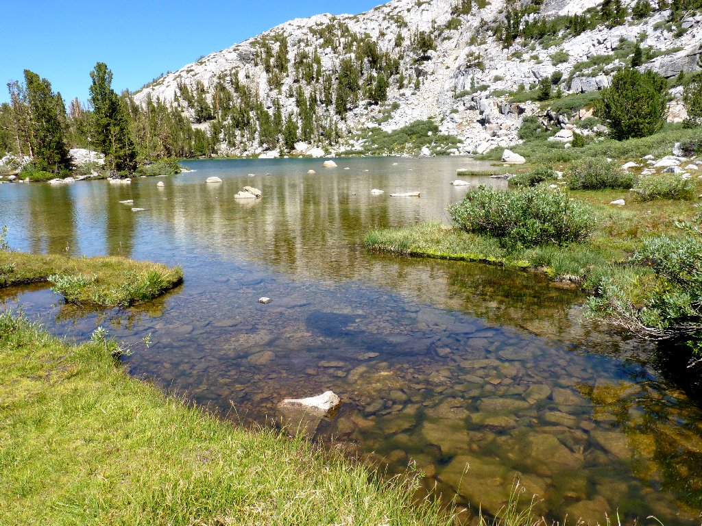
There are no mosquitoes in evidence, even when we stop to photograph a pond. That is why we waited until this late in the season to venture up here.
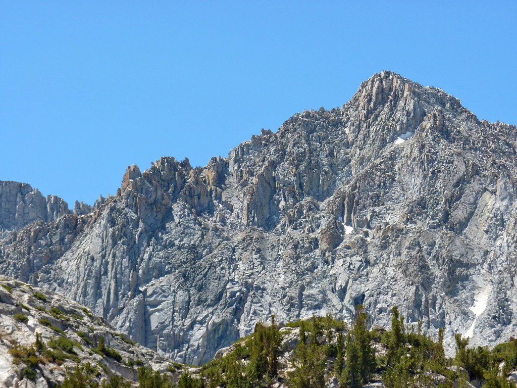
Although that spectacular peak is more than 12,000 feet high, it has no name
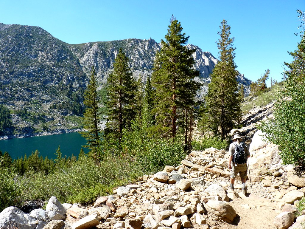
We must be making progress, because now I can see our starting point way back there by the South Lake Dam.
Looking back
Forging ahead
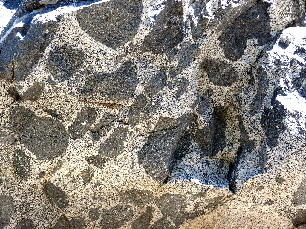
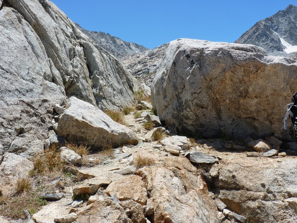
Interesting geology
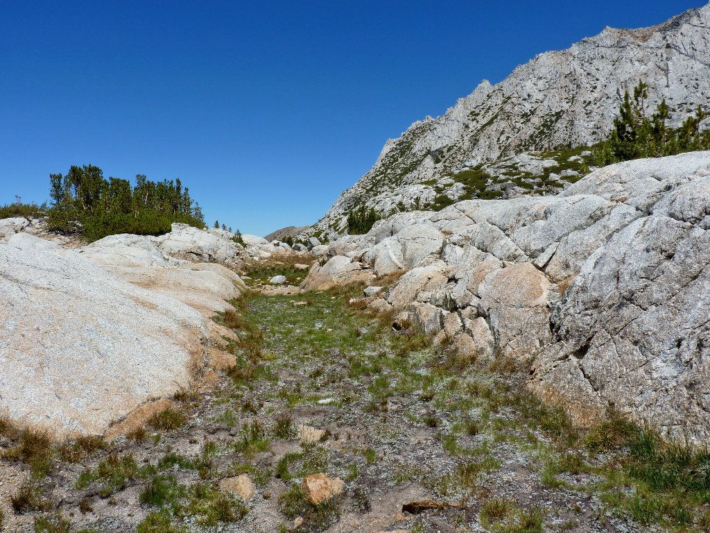
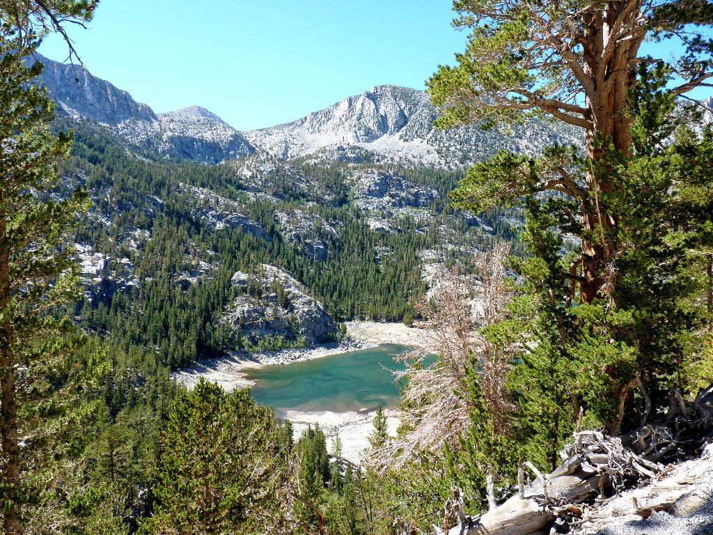
After trekking just under two miles from the trail junction, the first objective finally appears:
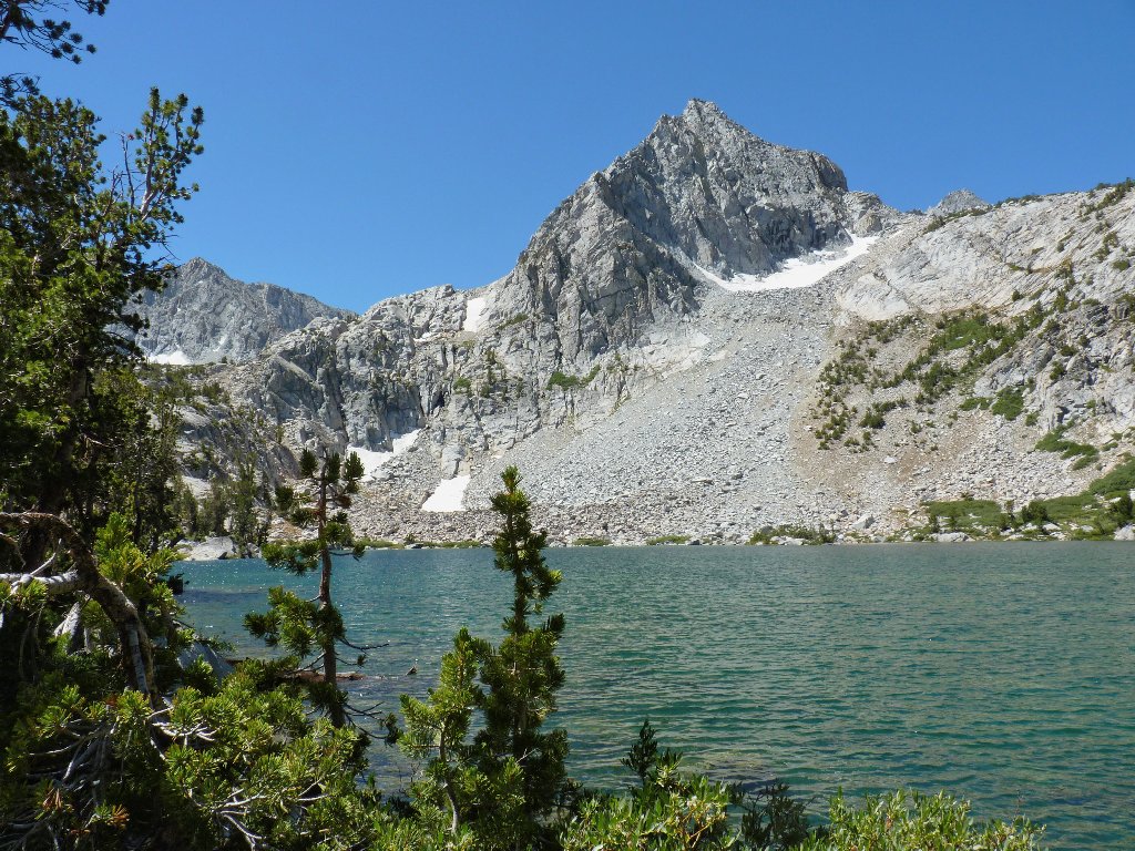
Lower Treasure Lake

Cliffs above the lake
Gary breaks out a salmon sandwich and offers to share it. Not being a fan of salmon in general, I try it anyway, and it is pretty good; so I eat my full half. The accompanying peeled apple is quite tasty as well.
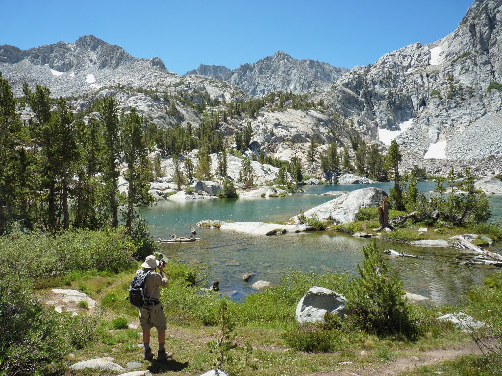
Doing his thing
My photographer friend is sporting a new DSLR-friendly backpack,
claiming that it saves about three pounds of weight over his previous
setup. This is good.
The water looks inviting, but it is frigid
The official trail ends right here, yet there is much more to explore. Before proceeding upward, we must negotiate the water channel between two lakes on logs that bend and sway as one walks upon them. After crossing successfully, Gary throws me his walking stick, which proves most helpful.
A flexible crossing
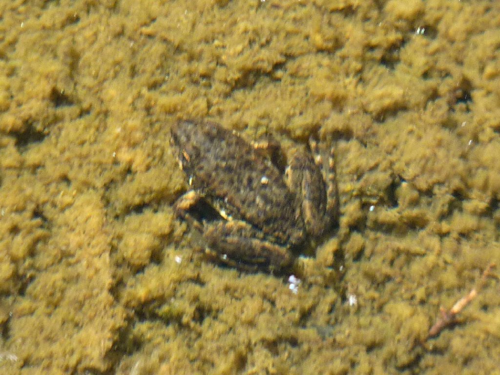
Froggy probably thinks he is hiding
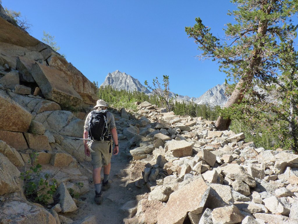
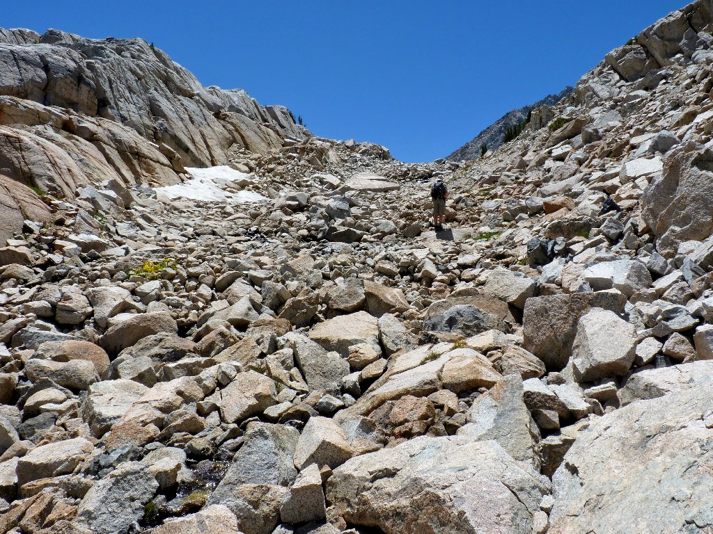
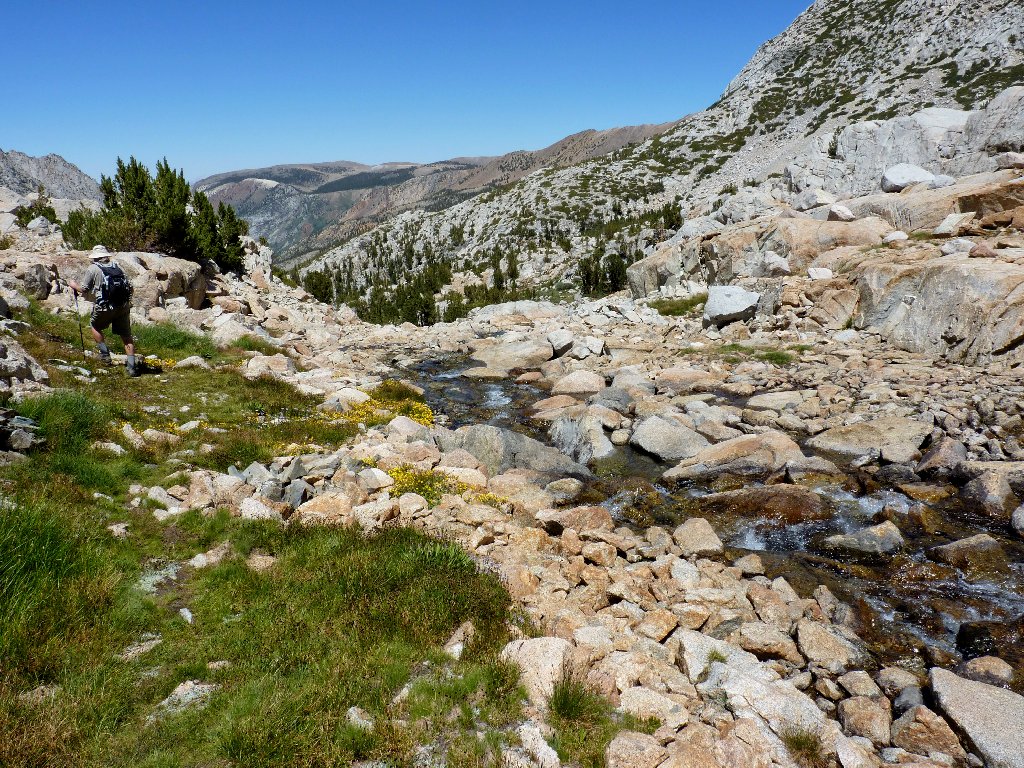
It is time to begin picking our way through the talus boulders. In the early going, following others' footsteps works just fine. Often, there are several routes from which to choose.
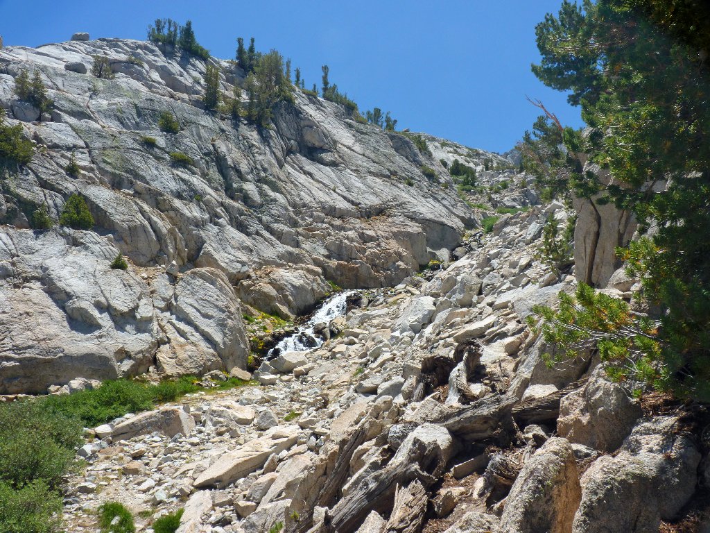
The real challenge starts here
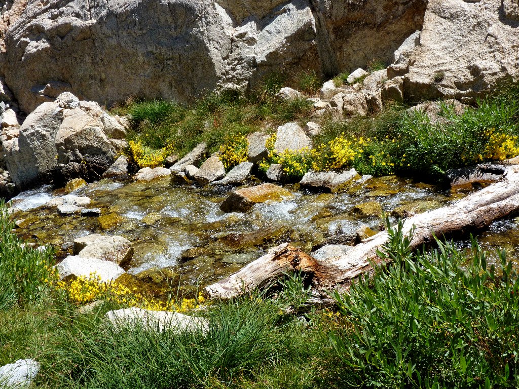
Oh, my! Look at the monkeyflowers putting on an incredible display at creekside, and where else? They always hang out near running water.
We are in agreement that it doesn't get much better than this
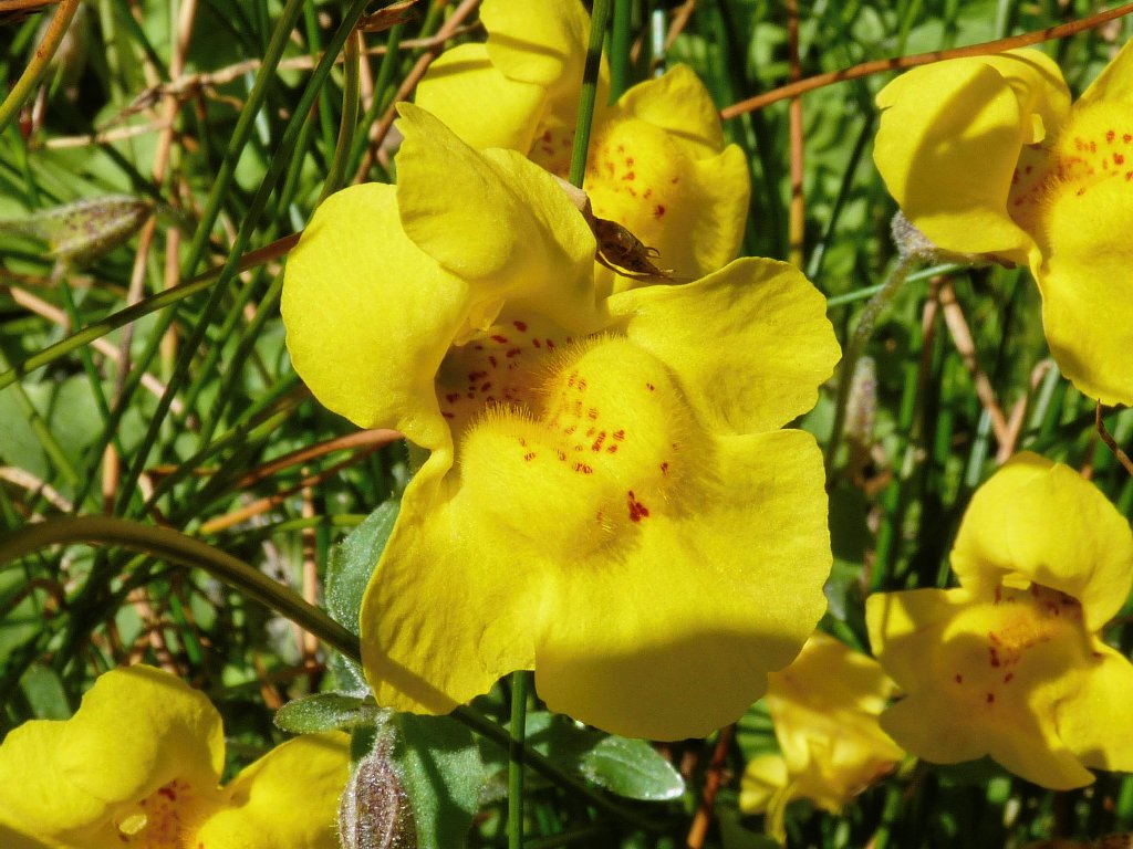
Common Monkeyflower
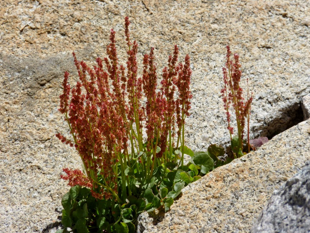
Mountain Sorrel
I am shooting photos like mad, knowing that many fine pictures never will be seen by others; yet I cannot share them all.

This is why I go hiking
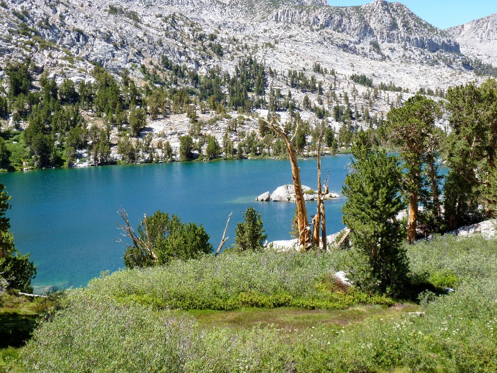
Looking back at Lake #2
I would offer one more view of this special area:
It just gets better
Two male hikers pass by on the way down, exclaiming something about a waterfall behind a boulder. It doesn't take long for us to discover what they were talking about. Unless one is walking up the middle of the creek, this little gem can be spotted only though an opening that is little more than two feet wide:
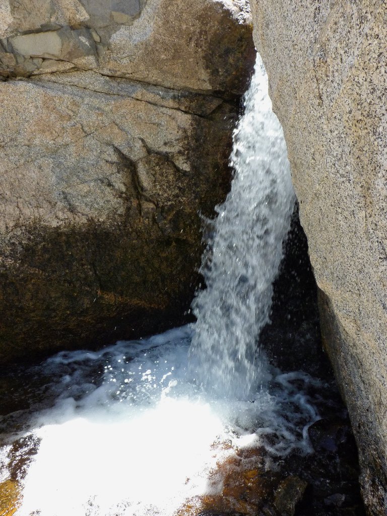
Hidden Falls
A better view is available from the aforementioned middle of the creek:
Now the work begins in earnest. A use trail heads up the slope, but we
opt to remain near the water. Soon it becomes a pure boulder-hop,
where every hiker doubtless chooses a slightly different route.
Nothing ventured, nothing gained
At the interim top of the talus jumble, there are choices. The closest
lake is to our left, and that looks like the easiest option in any case.
It remains only to find a reasonable way to ascend the 30-foot granite
wall. Just as a commonly used route is located, two hikers emerge from
the rocks above and descend toward us.
Gary finds a handy passageway
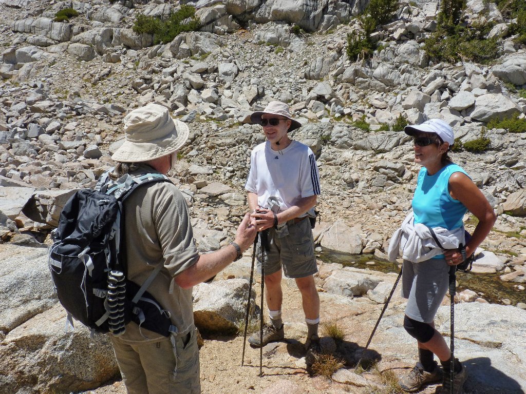
These folk reside in Madison, Wisconsin
Upon seeing my Glacier Park T-shirt, the couple proclaim that that park is
their favorite, and that they want their ashes spread at a certain special lookout
point — one that I am hoping to visit myself in about two weeks' time.
Gary launches into a political discussion, as is his wont. After everyone agrees that the current system sucks, we part company. The next lake is just around the corner and across a few granite slabs that are fun to negotiate.
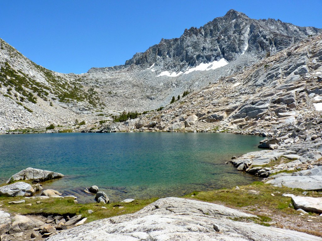
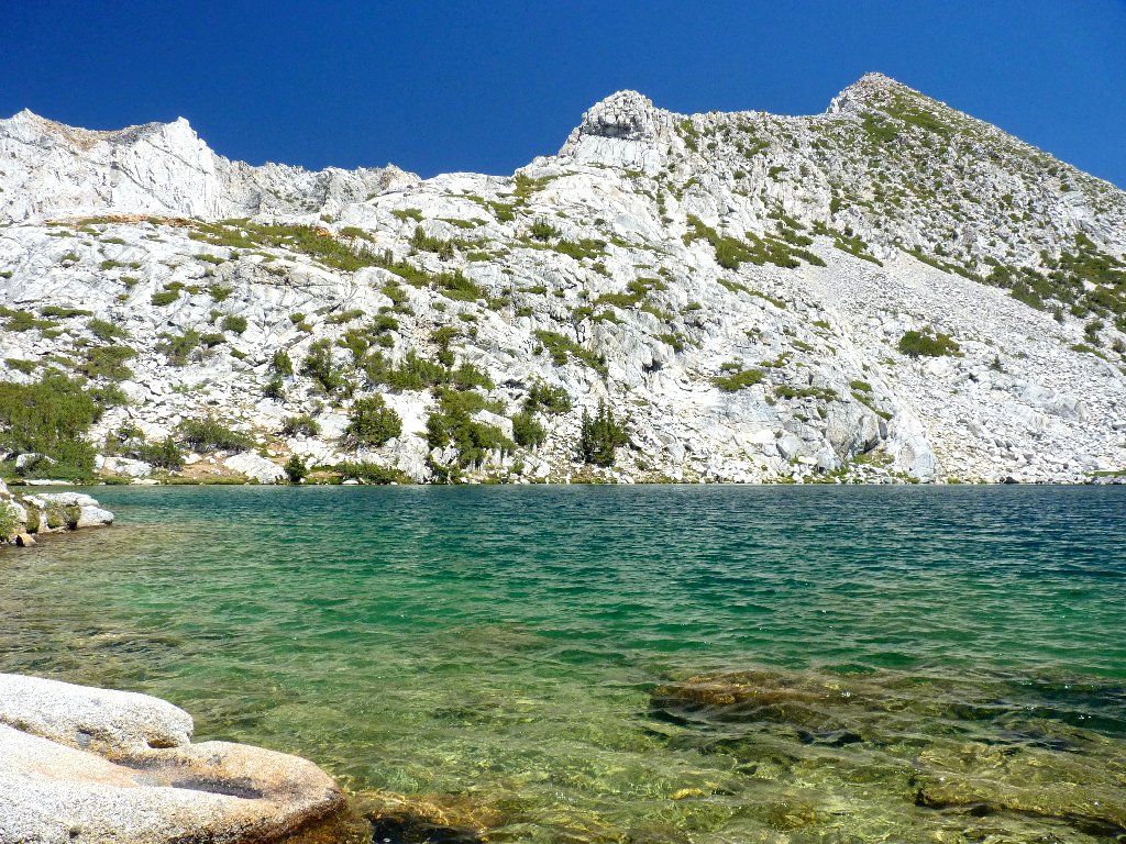
First Upper Treasure Lake, and another 12,000+ peak with no name
Wow! This is my kind of place. The soft grasses at shoreline always have held a special appeal that I am somewhat at a loss to explain.
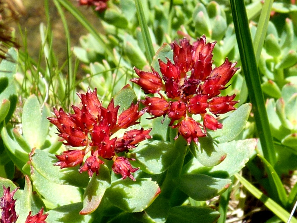
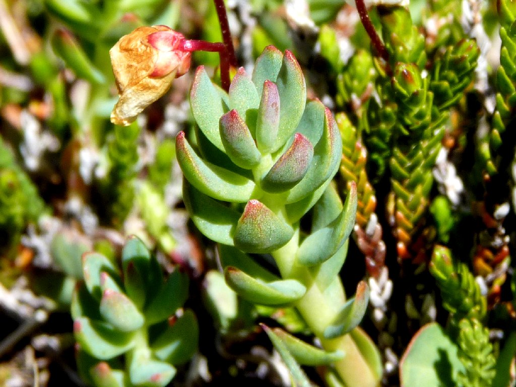
Ledge Stonecrop
White Mountain Heather leaves
The nicest place I have visited so far this season
The nicest that is, excepting Vernal Fall, which always ranks #1 with me.
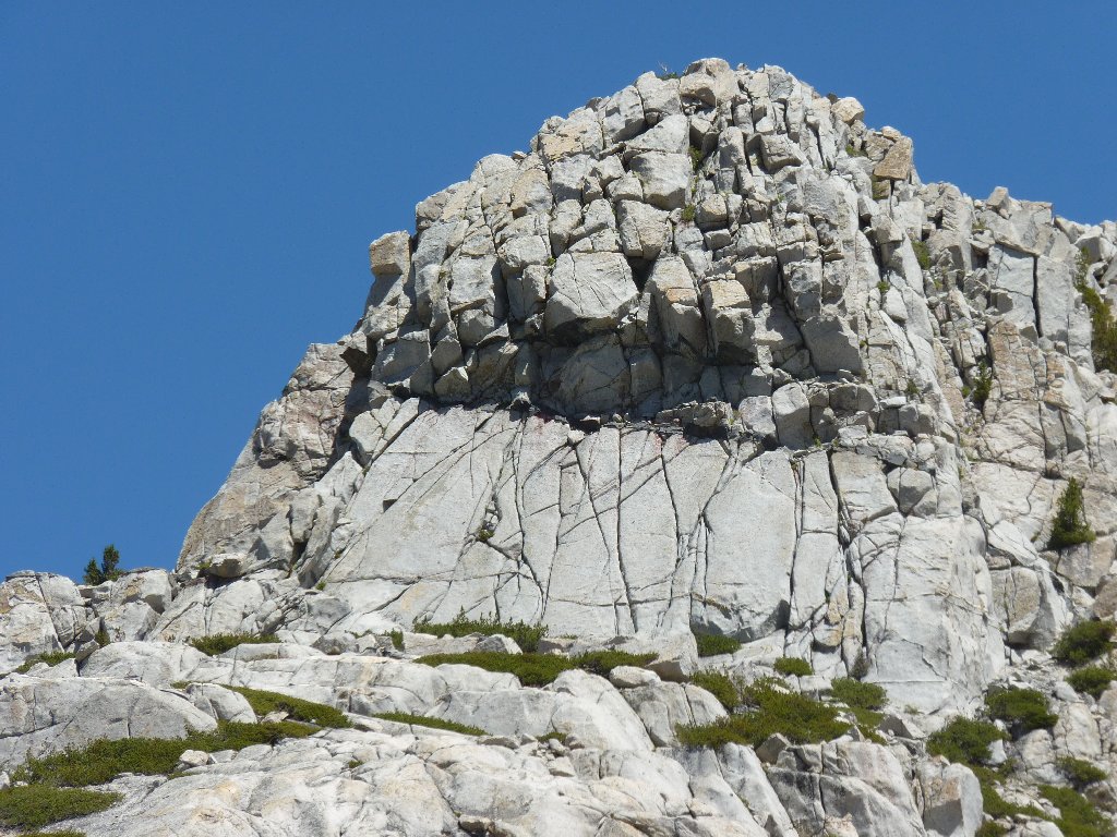
The amazing rock formation on the other side of the lake
There are two more lakes just around the corner; but not only does getting around there look problematical, my companion has been glancing at his watch. It seems that relatives are scheduled to arrive sometime this afternoon, and Gary would like to be home in time to fire up the barbecue for dinner; so we start back after taking only enough time for some photographs.
Wandering among the slabs
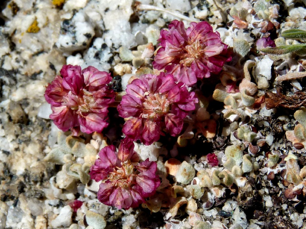
Sulfur-flower Buckwheat
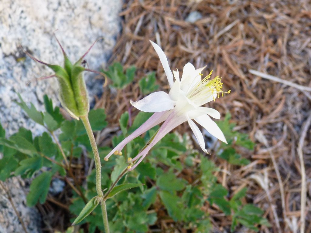
Coville's Columbine
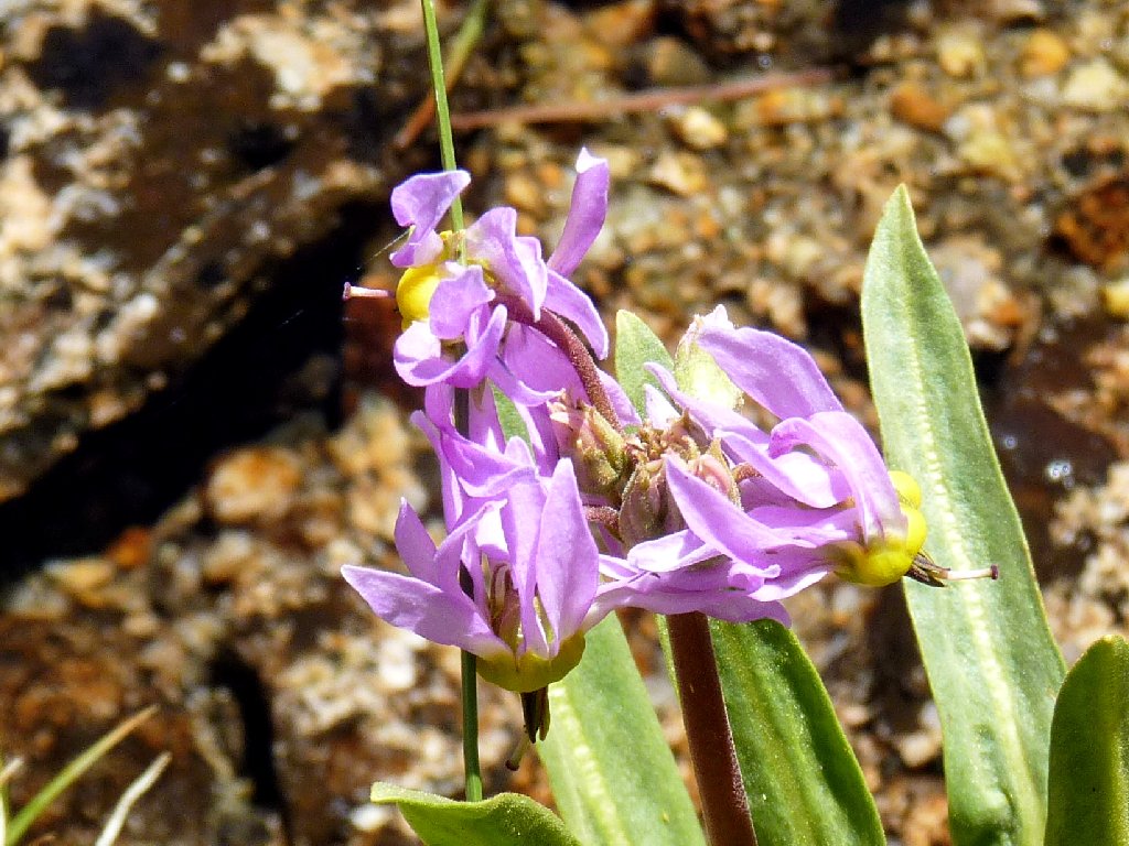
Shooting Stars
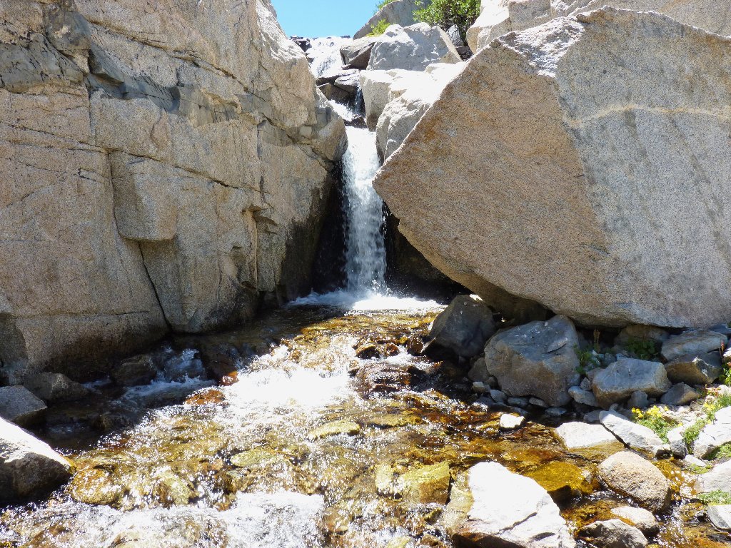
This time, we elect to follow the grasses down the seeming path of least resistance, trying our best to stay off the rock pile. This works fine for a while, but eventually it seems right to capitulate and scramble down a steep slope back to creekside. Oddly enough, this brings us right back to the little hidden waterfall.
Detouring around the talus
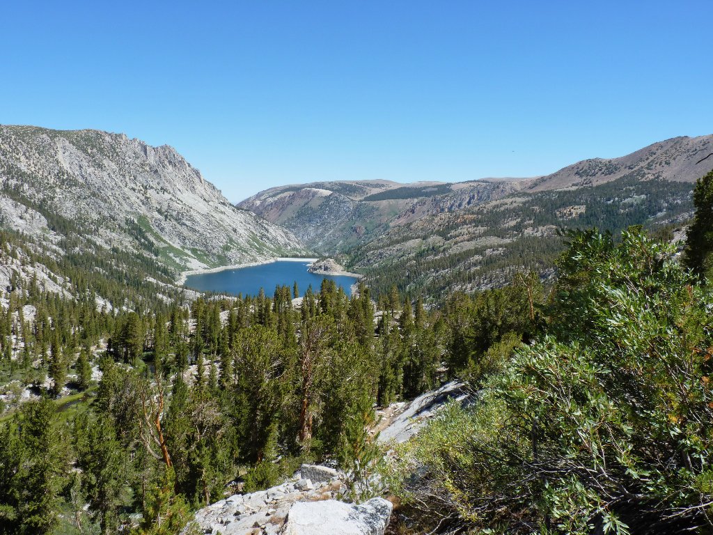
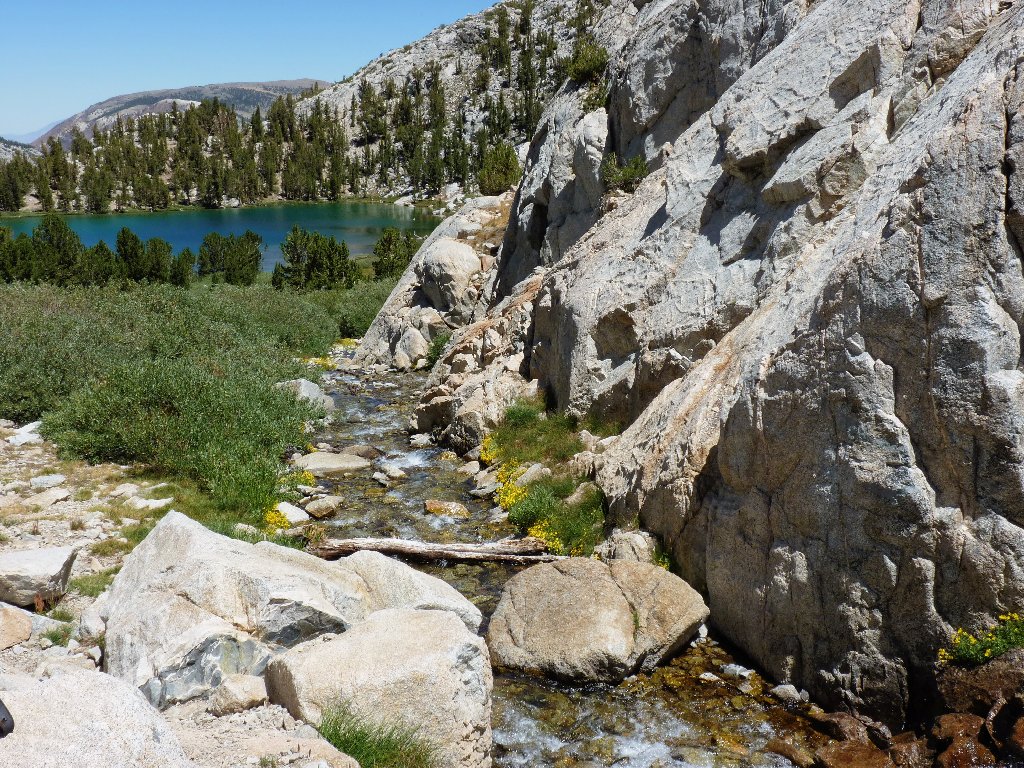
Lower Treasure Lake and South Lake
We need to get down there
Back at Lower Treasure
Lake #2
Now that a real trail has been regained, we can make better time; unfortunately, much of the return route is uphill, and I already am weary.
The far south end of South Lake
The slog isn't too bad though, and we actually make it back to the cabin
before the six in-laws show up. I hang around long enough to
enjoy a great feast of turkey burgers and pasta on the cabin deck, just as
the sun is setting over the High Sierra.
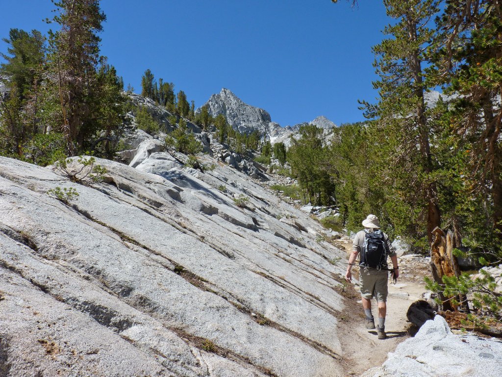
The last lap
§: What a marvelous day! As expected, this one had a bit
of everything — pristine lakes, spectacular granite cliffs, exquisite
flowers, a cross-country adventure, and great company. I'll be
back next season to try it again — but on a new trail, of course.
| Scenery |  |
| Difficulty |  |
| Personality | |
| Adventure |  |
| Flowers | |
| Solitude |  |
