
Vermilion Cliffs Wilderness
|
The Wave (Coyote Buttes North) Vermilion Cliffs Wilderness |
April 14, 2011
My number came up! Having been selected in the online lottery on my third attempt, I am one of just twenty hikers who will be privileged to visit this area today. Ever since the North Coyote Buttes region was discovered and popularized, largely by European visitors, interest has increased exponentially. BLM has felt compelled to establish a quota system in order to maintain the environmental integrity of this place.
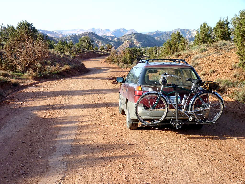
Heading down House Rock Valley Road
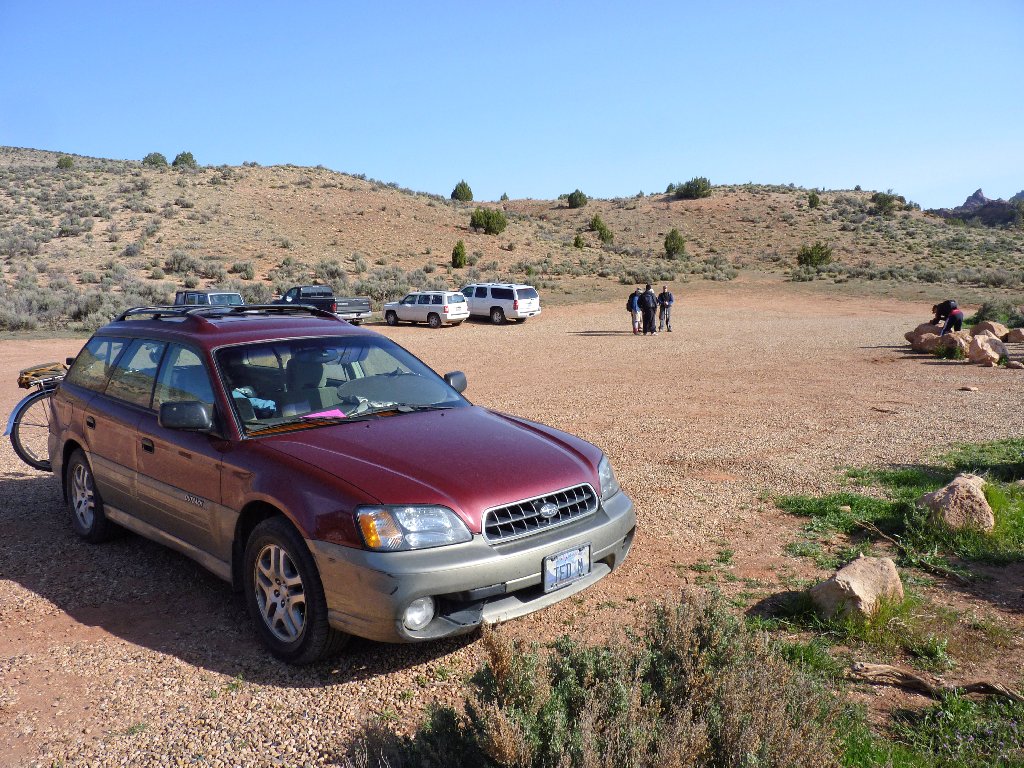
At the Wire Pass Trailhead, several other parties are preparing their own equipment. This must be the right time for me to get started! Of course, it is likely that not all of those folk are headed for The Wave, because other fun places are accessed from here as well.
It looks like a good day to go walking
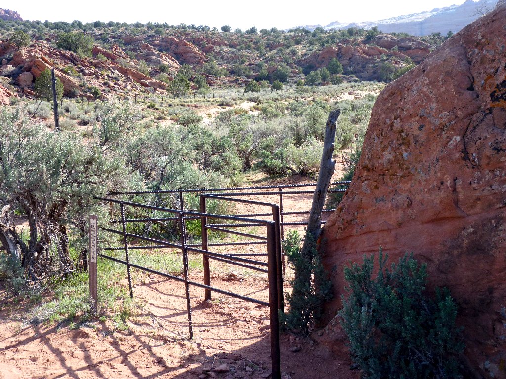
The cows must be kept in
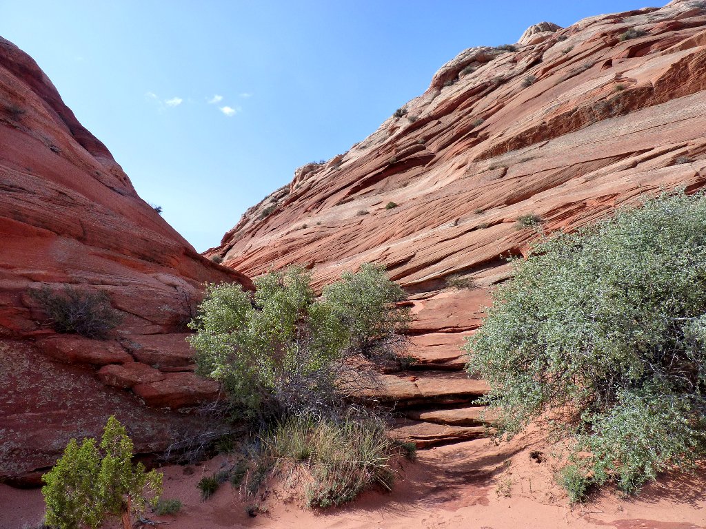
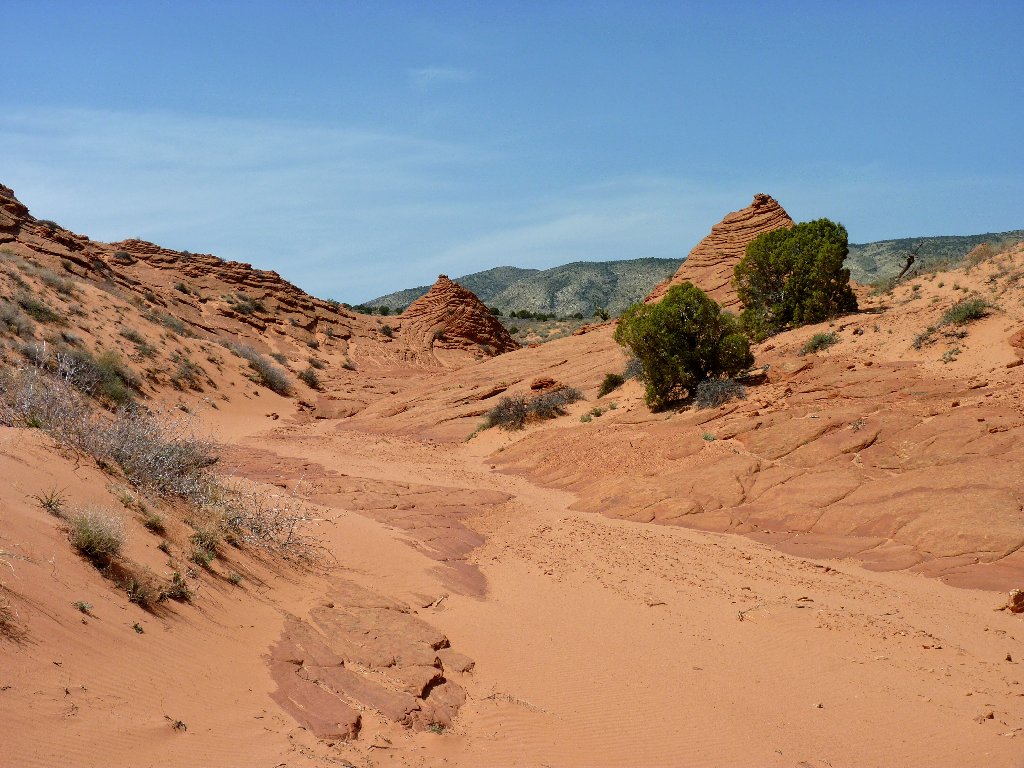
The trail leads eastward down Coyote Wash toward Wire Pass and Buckskin Gulch, but I turn right at the sign indicating that I must have permission to be here.
The dry wash provides easier walking than the trail
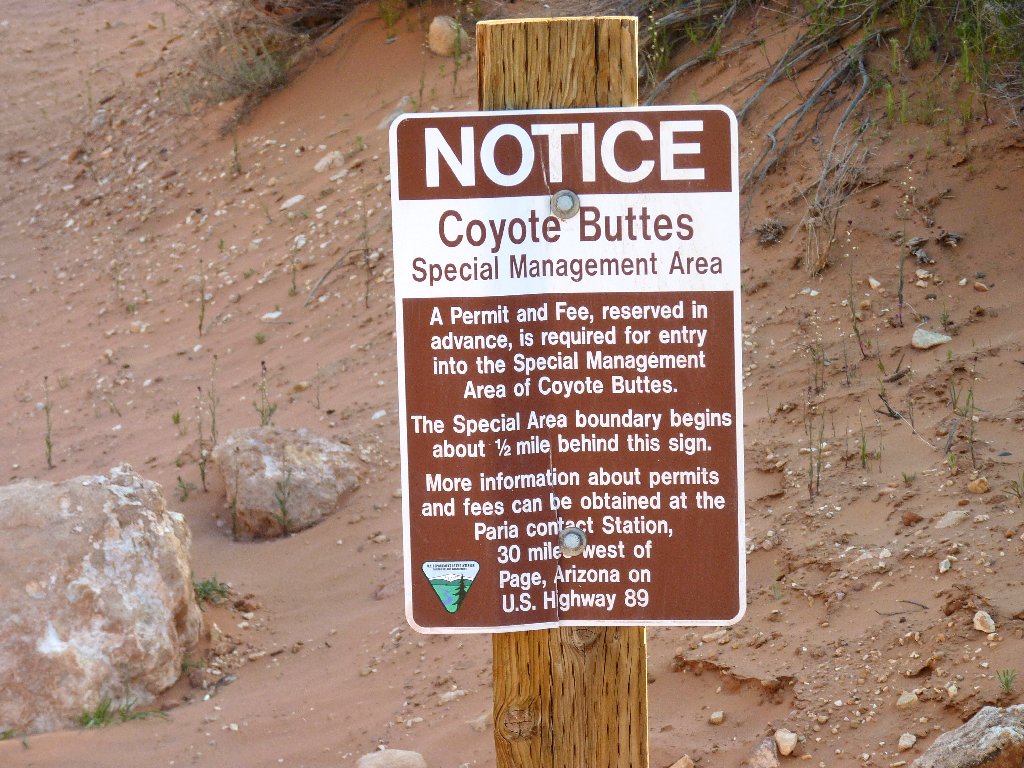
My permit is in order
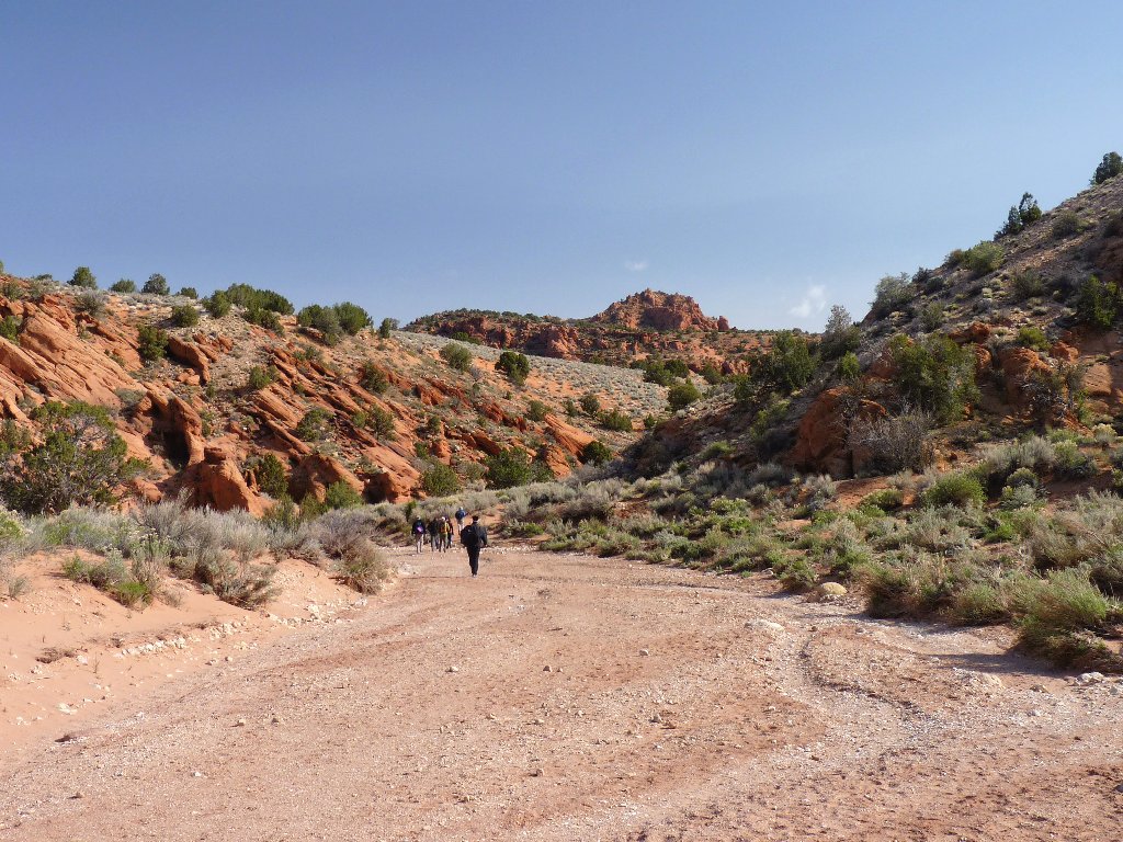
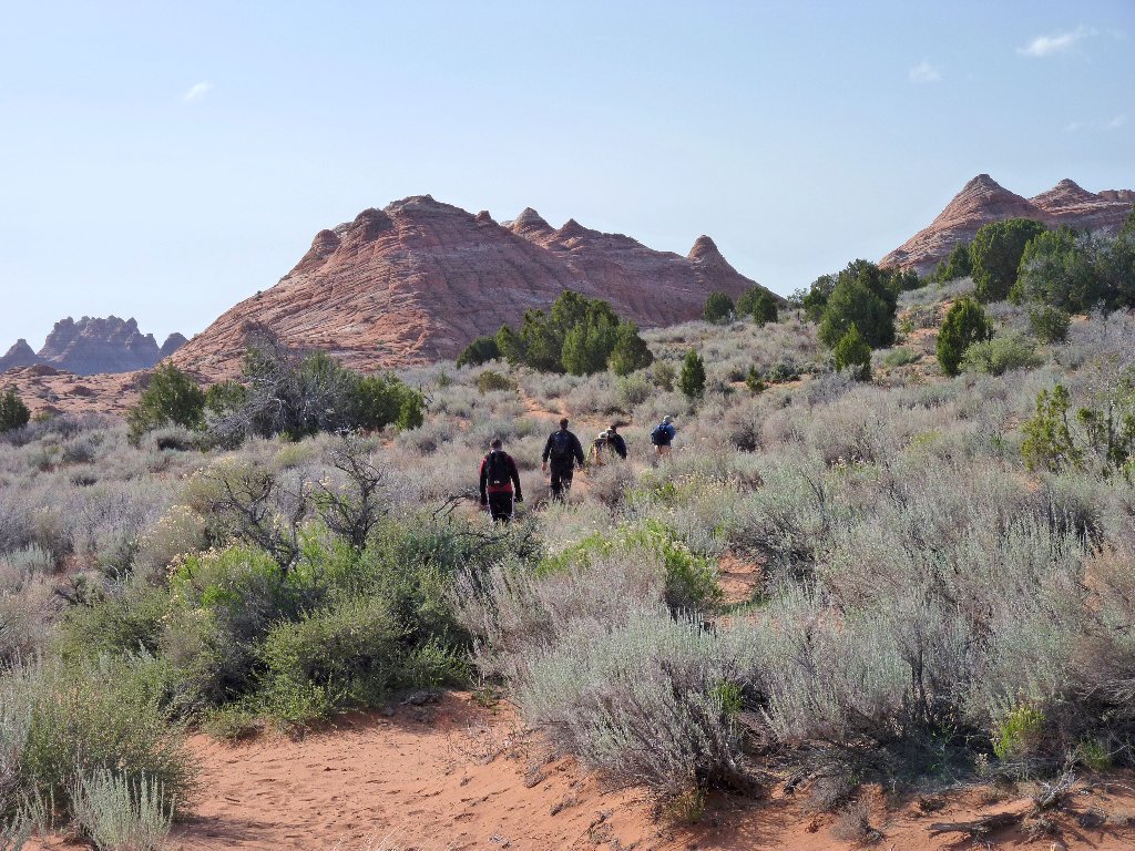
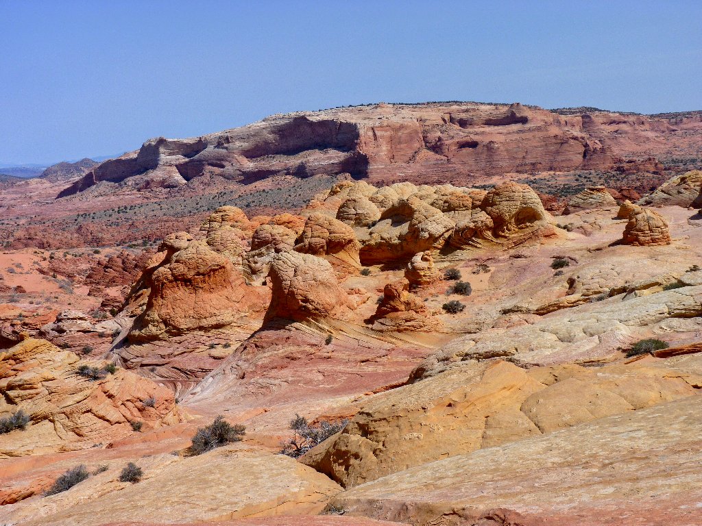
The trail heads south across the desert toward various oddly shaped
formations. I soon pass a group of six gentlemen from Minnesota and
Wisconsin, who have stopped to unload unwanted extra clothing.
I am wearing two sweat shirts myself, being leery of a potential afternoon
wind which was of gale-force magnitude yesterday.
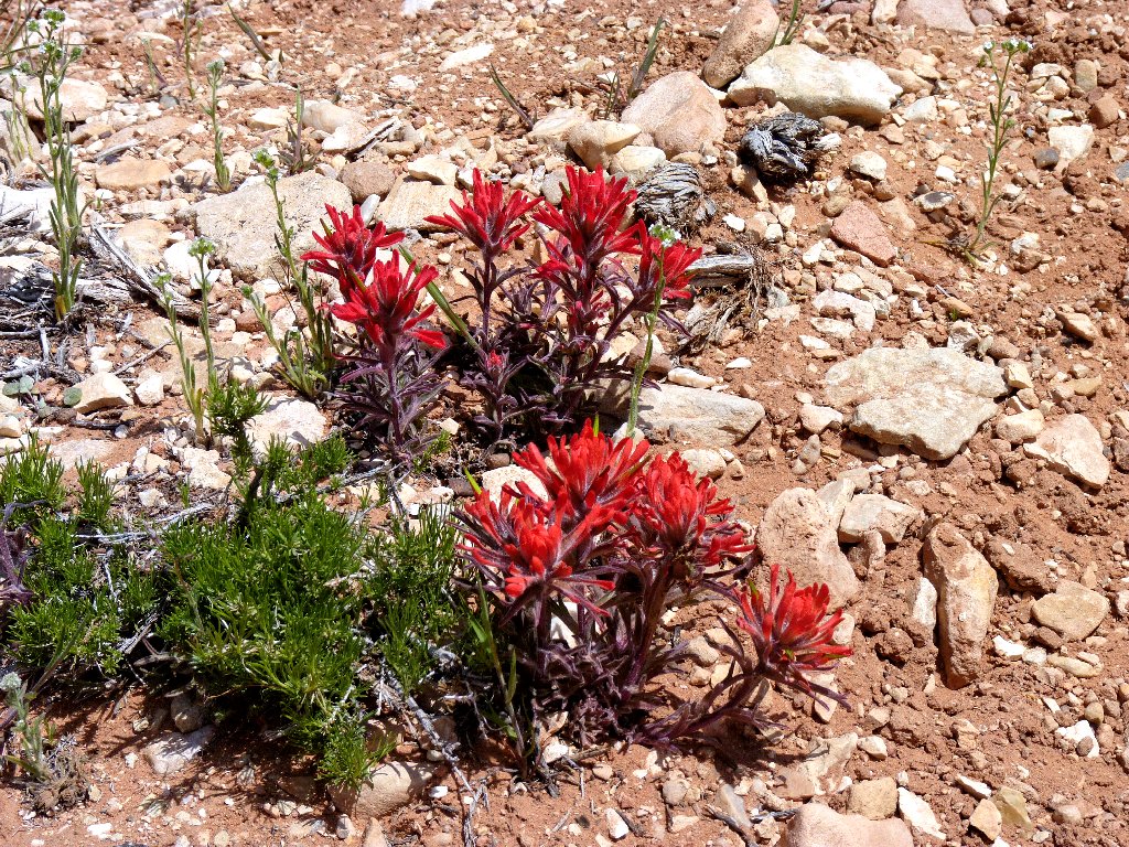
Northwest Indian Paintbrush
I am catching up
Along with the permit, BLM provides a first-rate brochure featuring driving directions, a map, and GPS coordinates and color photographs of key trail points. Unfortunately, I seem to have lost mine already; it must have fallen out of my pocket when I doffed my outer sweatshirt. Bummer. Having researched the trek extensively, however, I continue undaunted, relying on reassuring footprints to show the way.
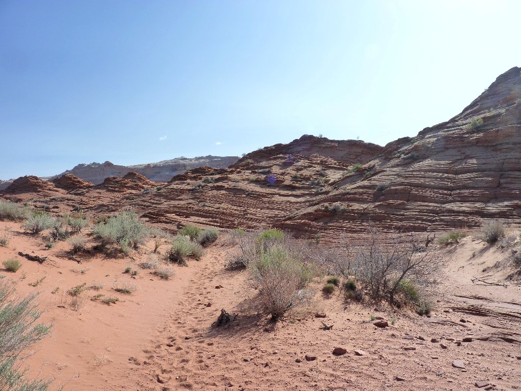
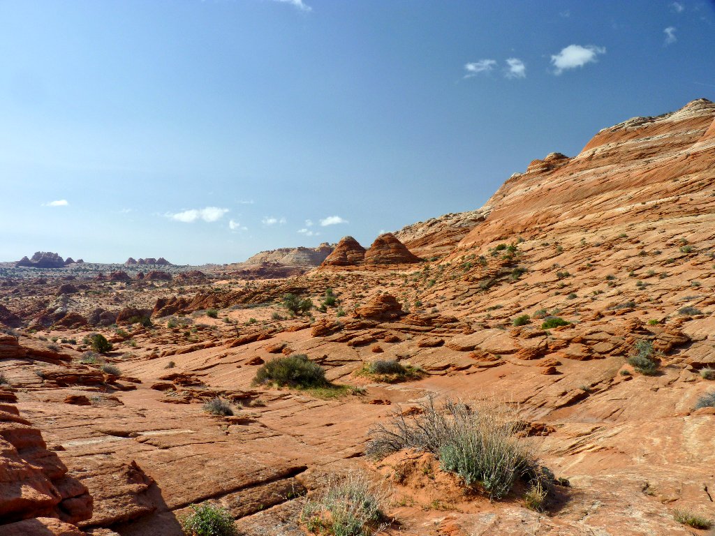
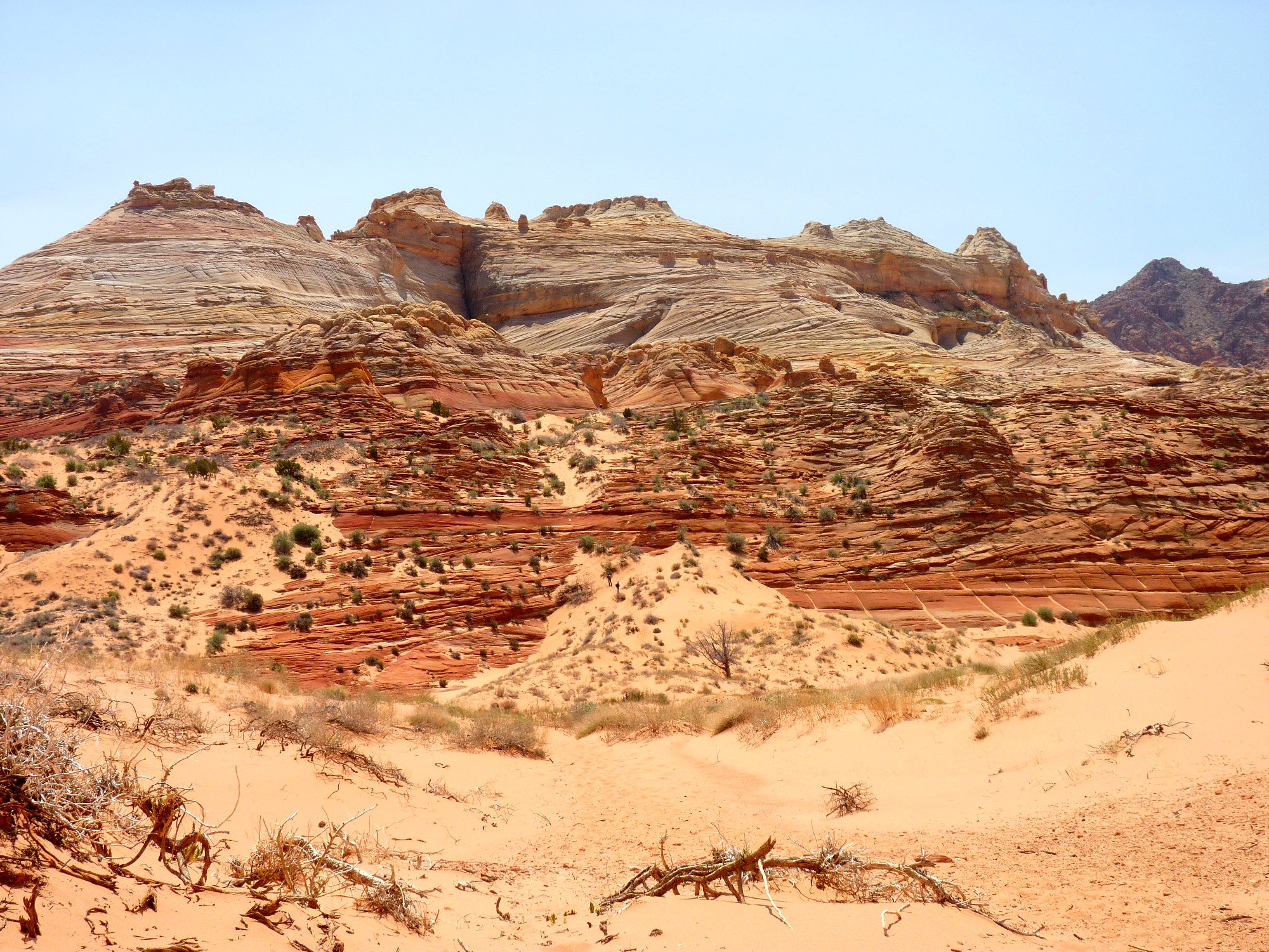
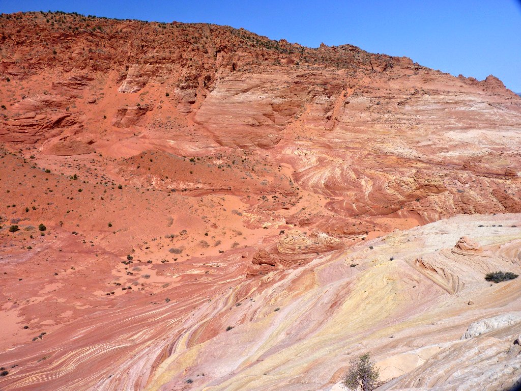
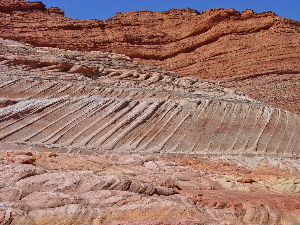
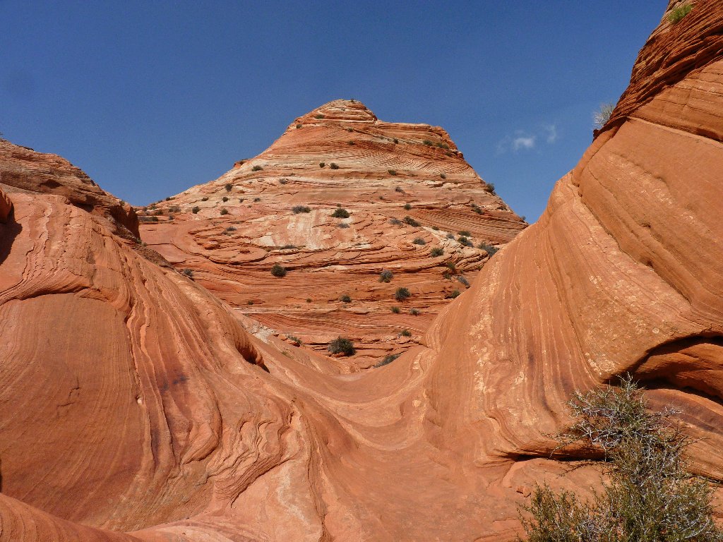
The route becomes more interesting as it leads up and over
the slickrock
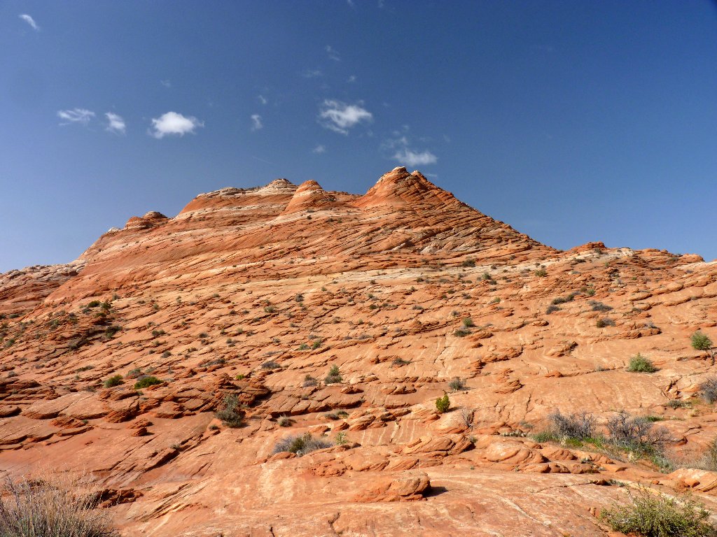
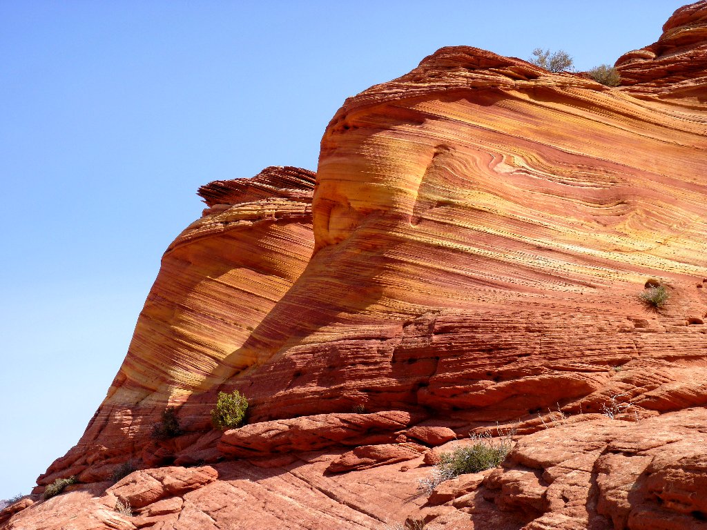
There is something different to see in every direction
I remember the instructions indicating that one should keep to the right of the twin buttes, which must be those little guys just ahead; so I do that. Just beyond them is the first clear view of the destination.
That dark cleft in the mountain is the key landmark
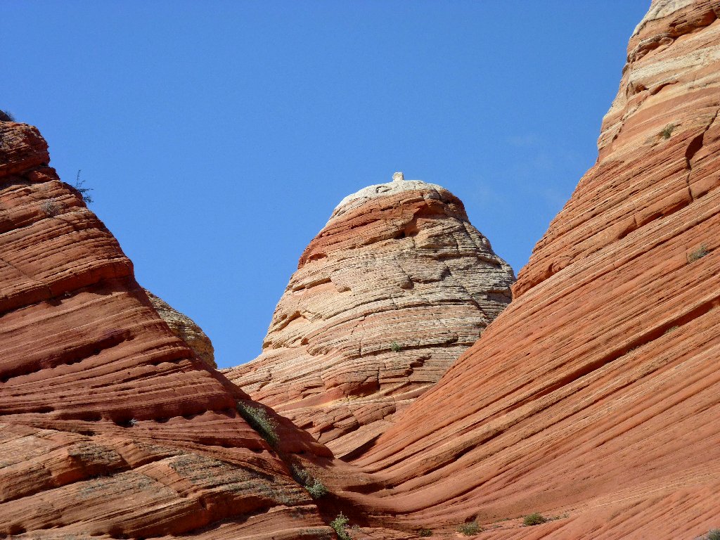
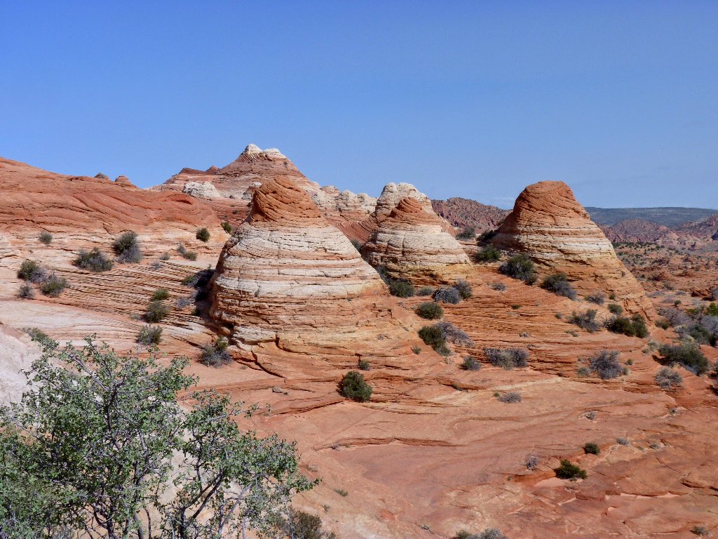
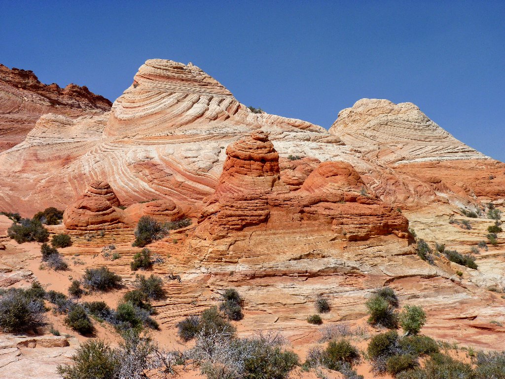
There are lots of beehive-shaped formations around
I have just crossed the state line into Arizona. Although many writers
seem unaware of this fact, the Wave itself actually is four-tenths of a
mile south of the Utah border. Oddly enough, the trailhead and destination
are in different time zones! Excepting the Indian reservations, Arizona
doesn't do Daylight Savings Time.
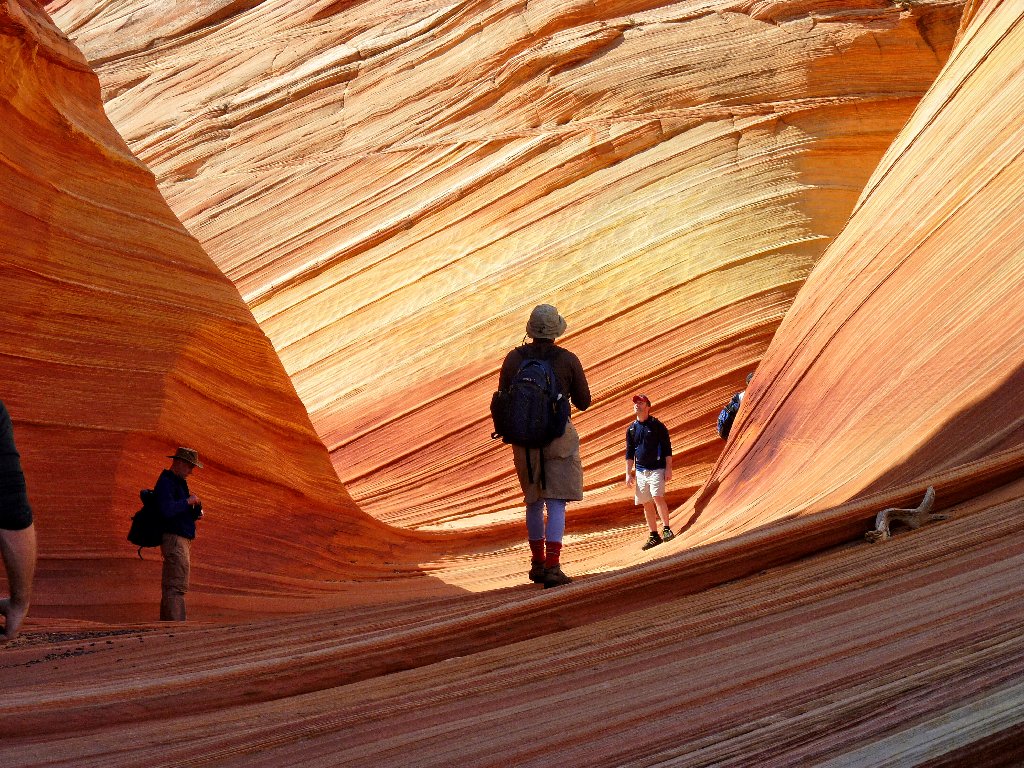
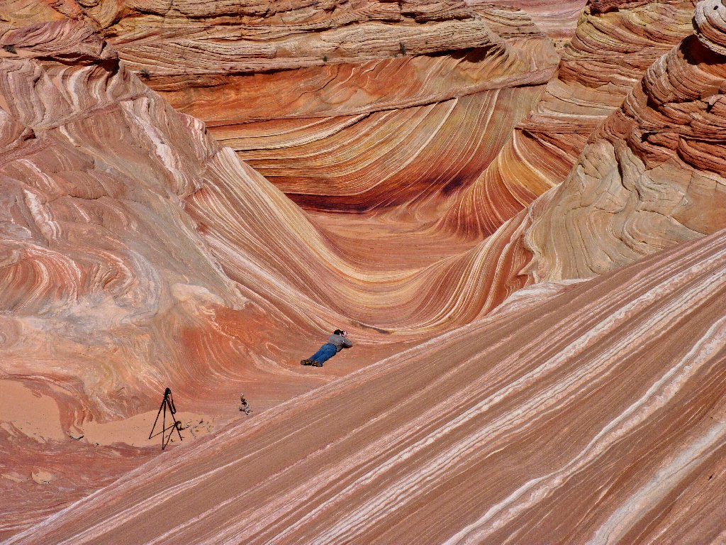
The special stuff is just ahead. Can you spot three
hikers in the photo? ⇔
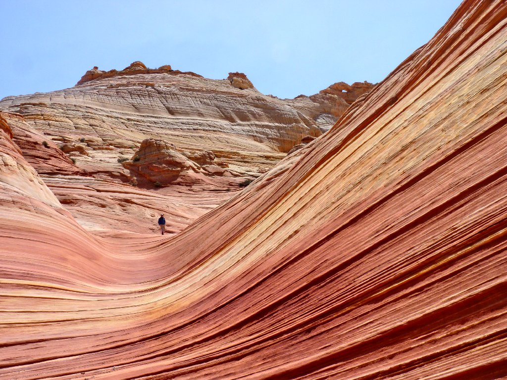
I am not quite there yet. Scrambling over to the left up the steep slope of deep sand proves difficult and tiring; utilizing the rocks would have been better. I'll do that next time.
Views from halfway up the slope
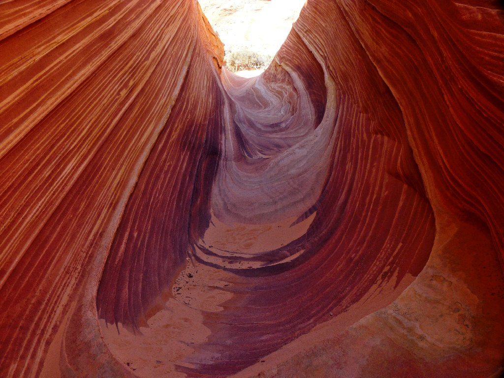
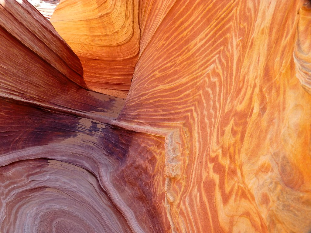
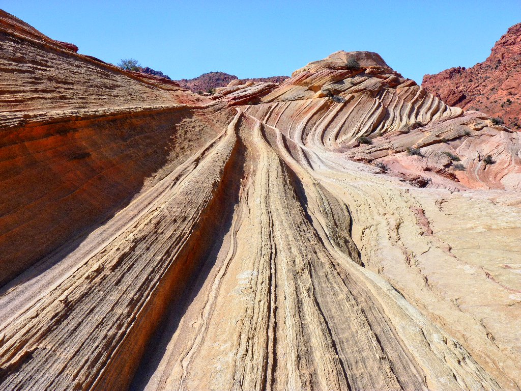
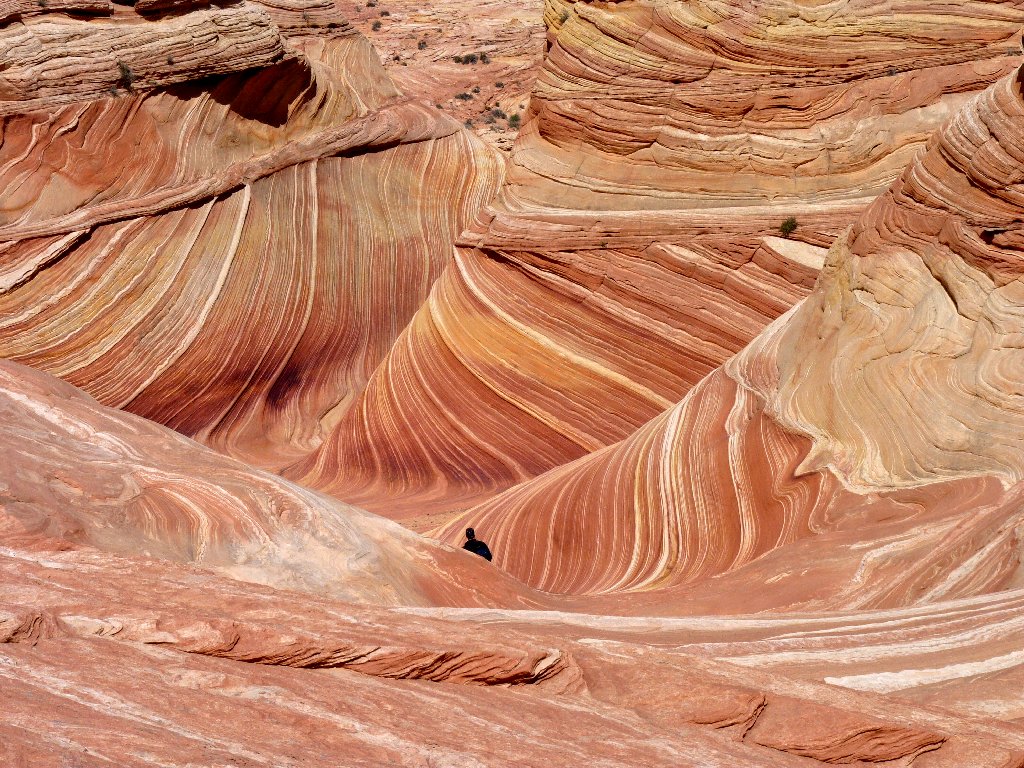
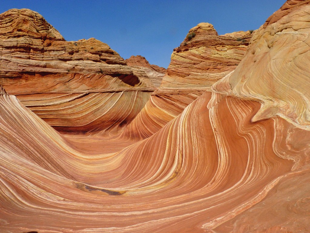
Success! This place looks like Antelope Canyon turned
inside-out; maybe it is!
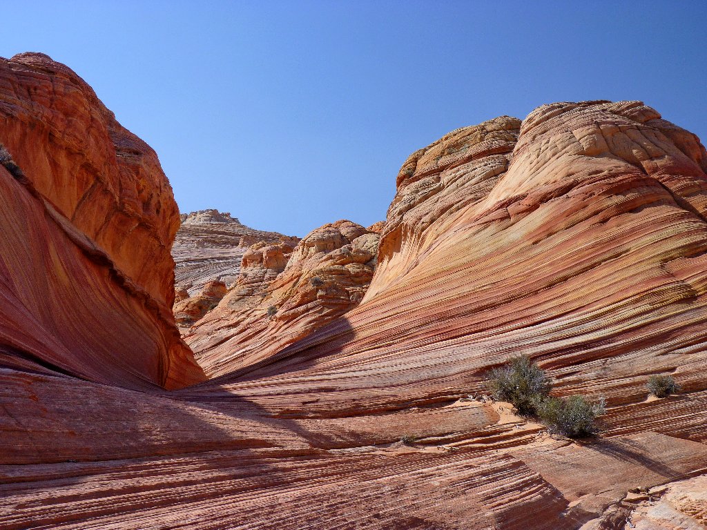
Entering the sanctuary
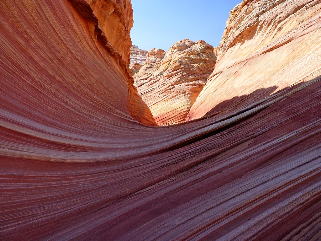
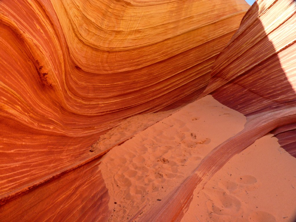
The main body of The Wave is not extensive; in fact, there are only a couple of nooks and crannies to explore, such as this gem:
This is why I go hiking
Just being in this magical place is exhilarating! I impose upon one of the Minnesotans to take my photo, if only to remind myself that I actually was here.
Yours Truly
Relocating one's camera just a few feet can create a significantly different scene. The next photo includes the spot where I was standing just a moment ago:
A photographer's paradise
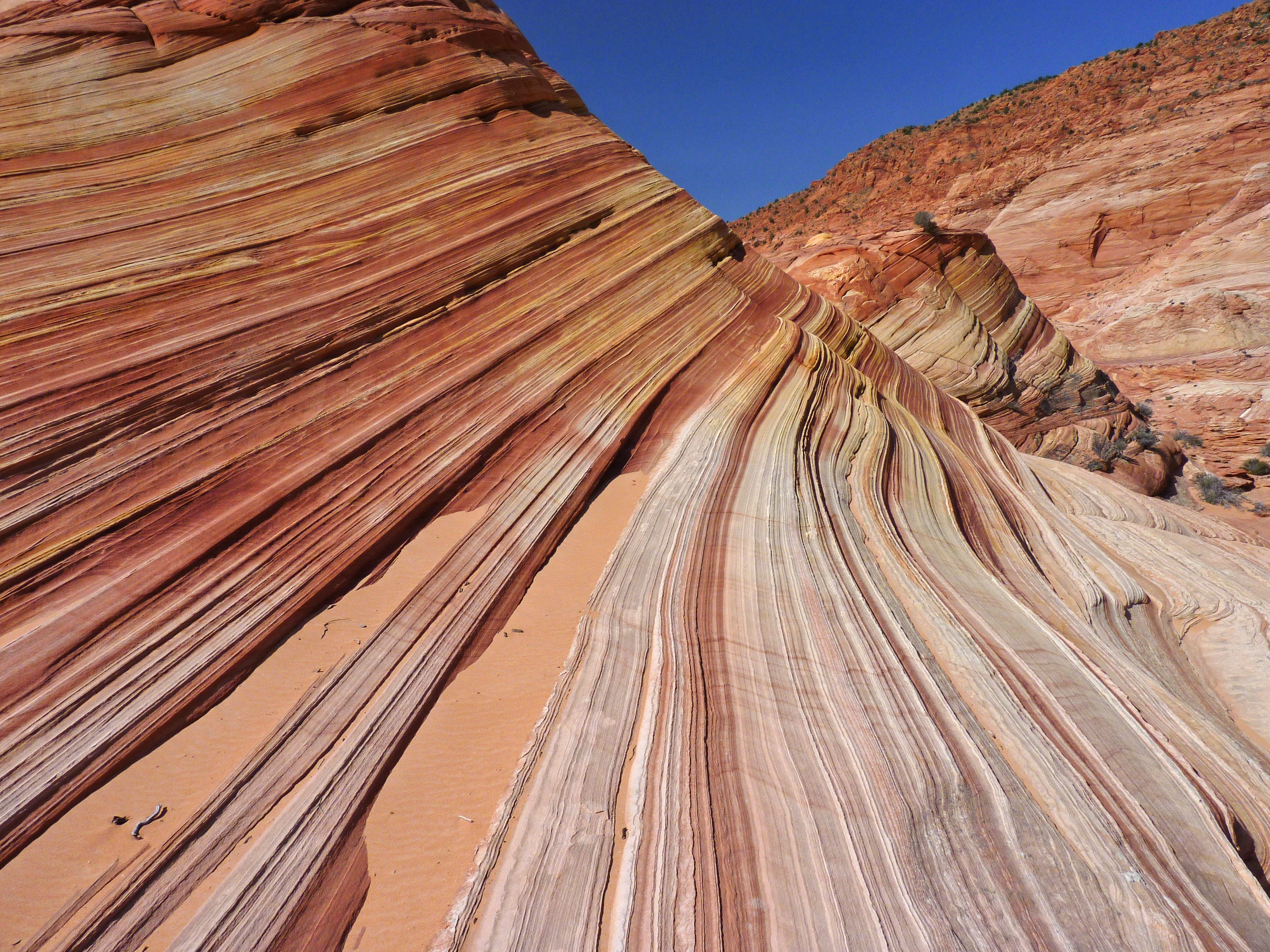
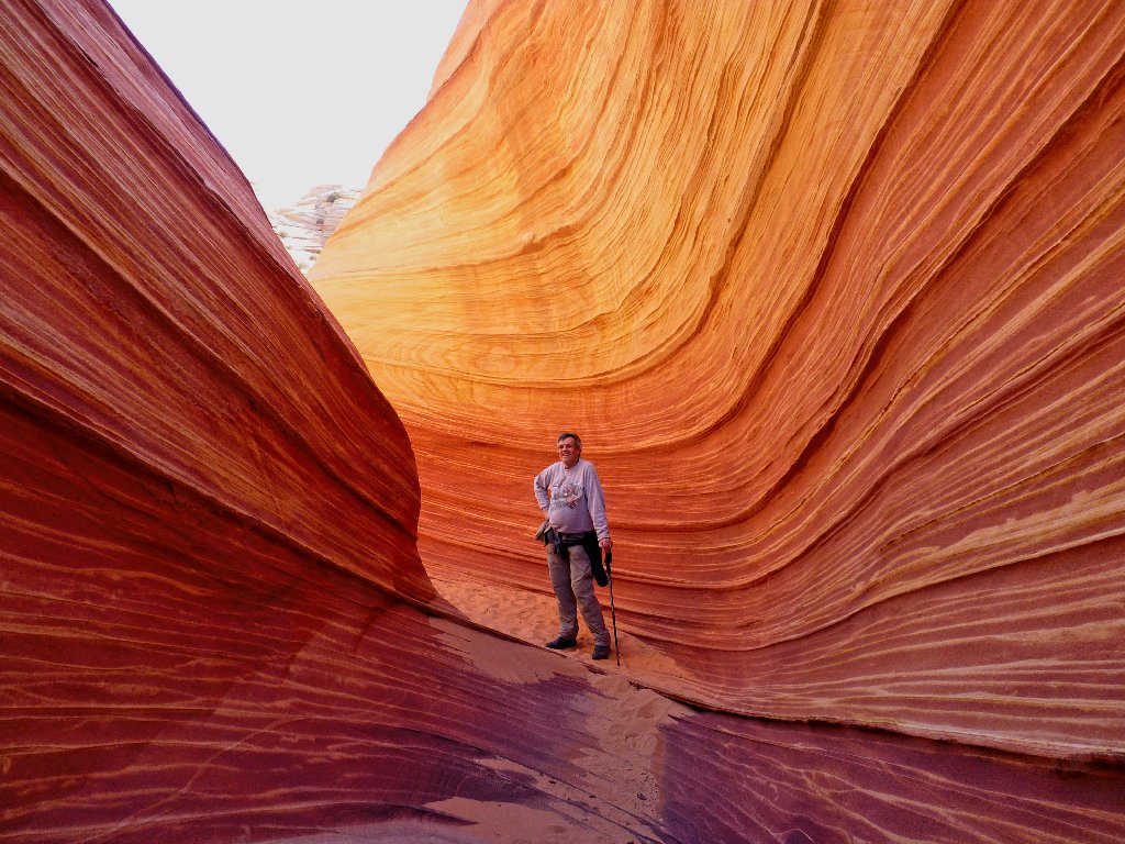
The quintessential Wave scene already is well-documented, but I must offer my own version:
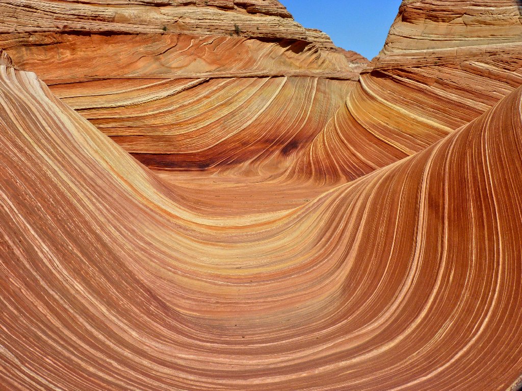
Heart of The Wave
Coming down from above is Photographer Phil, who also is hiking solo.
Just one permit had remained available at the morning walk-in drawing
at the ranger station; so his wife was unable to attend. Phil already
has used up 30 gigabytes of memory in his fancy camera.
Wow! My own memory chip is only 4 gigs, but that's enough for
several hundred photos at my maximum resolution.
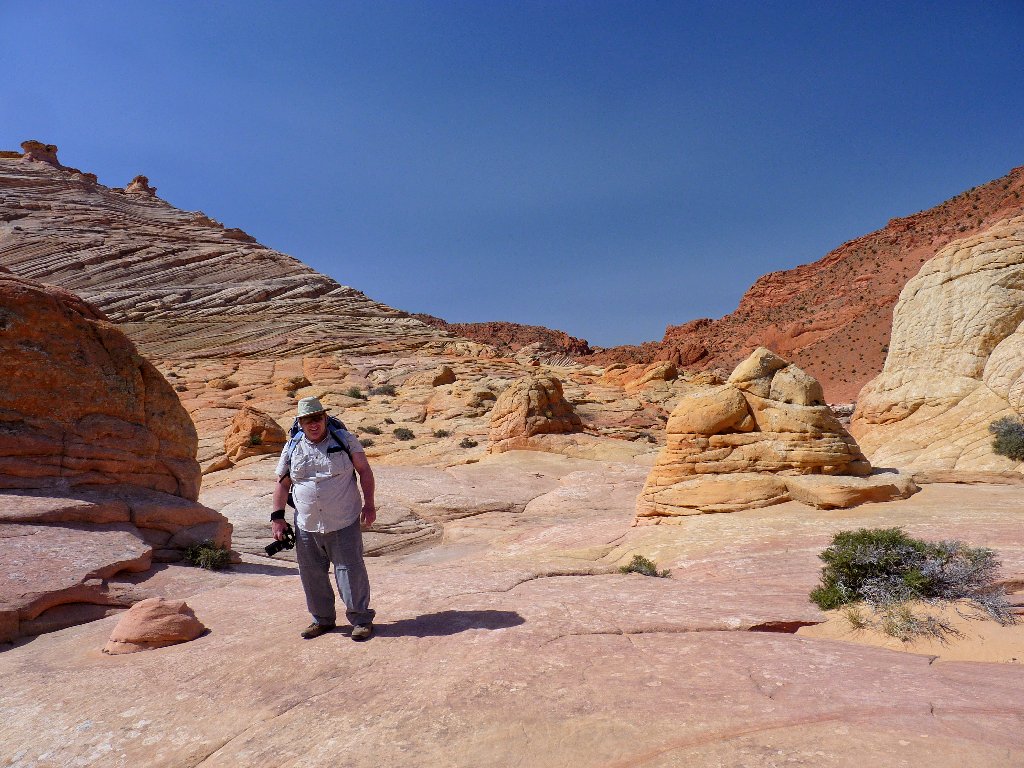
Philip from Baltimore
This guy is serious
Such color
Sorry, Philip — we should have used a fill-flash or had him face the sun more directly. In any case, he points the way to an 'upper' section of The Wave. That seems like an appropriate designation; but most call it the "Second Wave", so I'll go with that. It is interesting up here, but not nearly as colorful as the area below.
The Second Wave
I can see Top Rock Arch above me. Also up there are Melody Arch
and The Alcove, which I want to see. Continuing northward, I am
cliffed-out eventually, failing to discover a relatively easy way
to access those features. That's what I get for losing my maps.
Knowing that I will regret this decision later, I abandon the attempt. I have another seven or eight consecutive days of hiking planned, which is unprecedented and unpredictable; so perhaps I should not overdo it on the first outing.
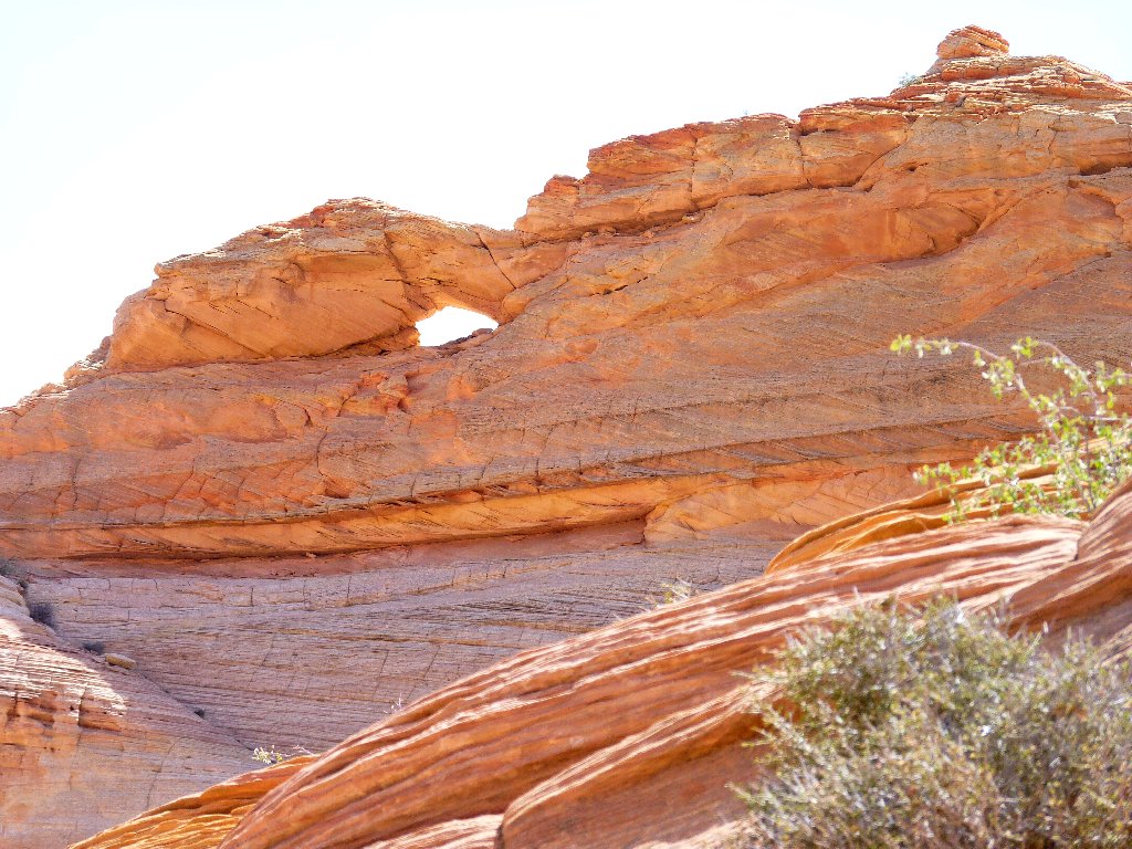
Top Rock Arch
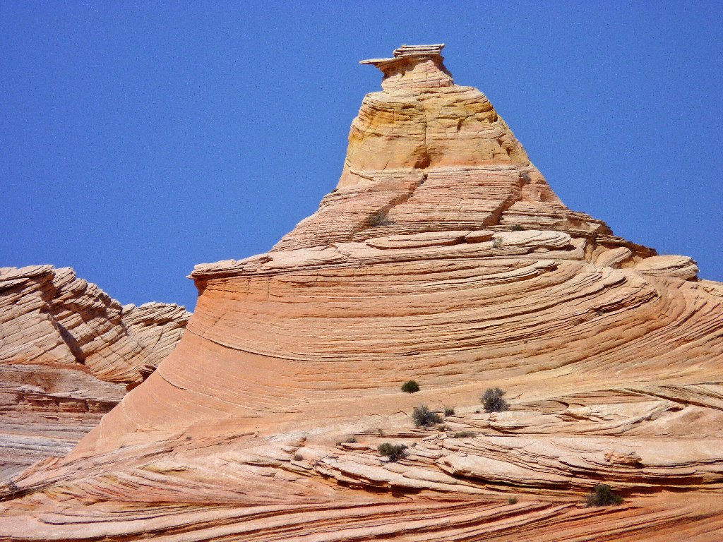
In an area rife with fanciful formations, this one bears the obvious name:
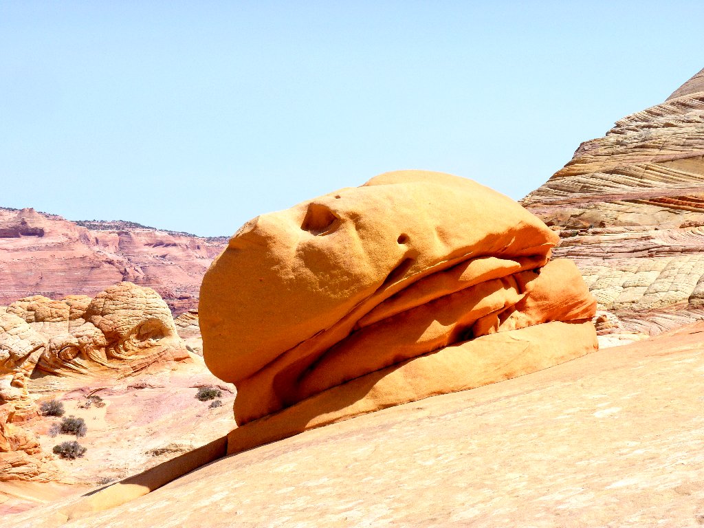
Hamburger Rock, replete with tomato slice and oozing mayonnaise
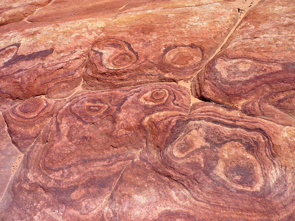
I head back down into the swirling bowl, stopping to rest my feet and munch some gorp.
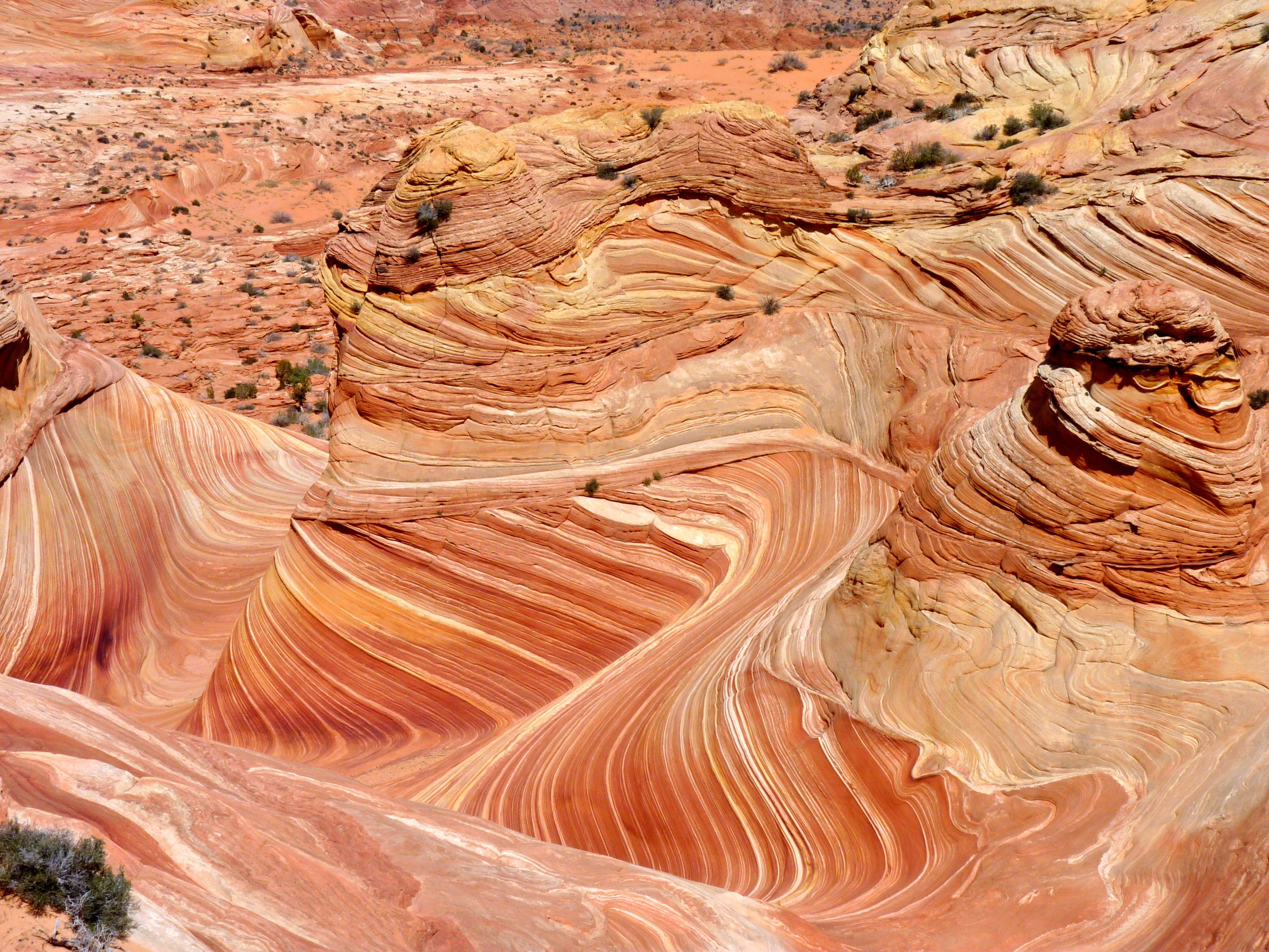
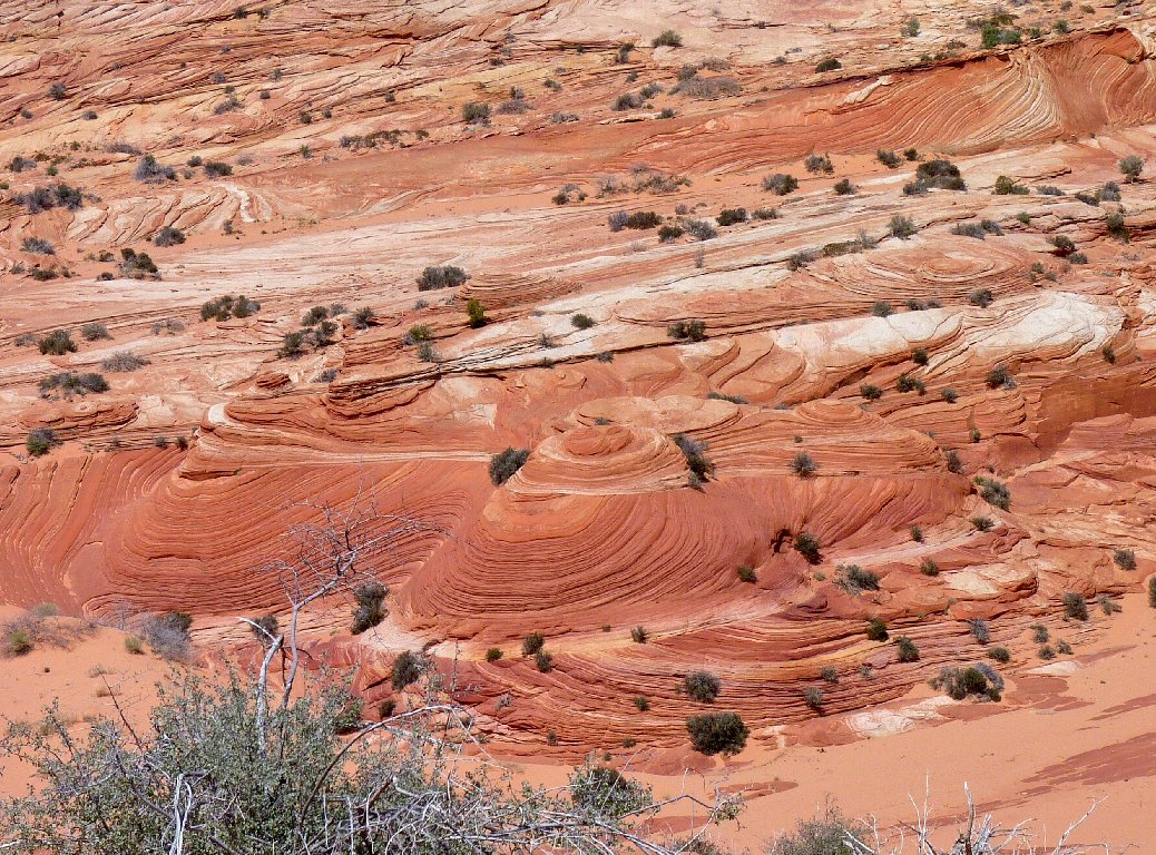
Overhead view of the petrified sand dune
Nearby, the Midwesterners are procrastinating over their departure. One man seems inordinately interested in my every movement; so I playfully remove my hat and adjust my hair a bit, while being careful not to catch his eye.
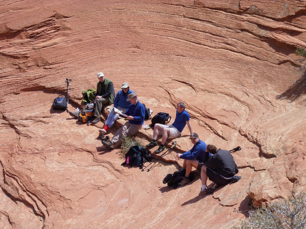
They are getting ready to leave, as am I
A final portrait of the sublime spectacle
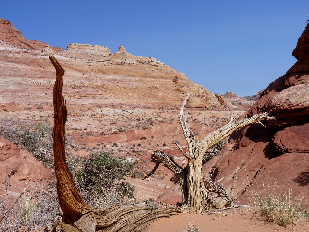
A last glance back. Note the distant arch
On the return leg there is ample opportunity to admire the surroundings.
Sometimes it even pays to look straight down!
Eastward view
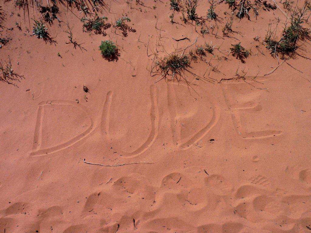
Advertising? Or just marking territory?
Up and over
After surmounting the cute little saddle next to the two little buttes,
a rock ridge appears ahead of me, and I am not sure how best to proceed.
Spotting two women lounging on a boulder over to the right, I head in that
direction which, as it turns out, takes me away from the trail.
Eventually I continue down and around the rocky area, which puts me about
a quarter-mile off-track; but then I encounter the familiar
wash and head upstream toward the west.
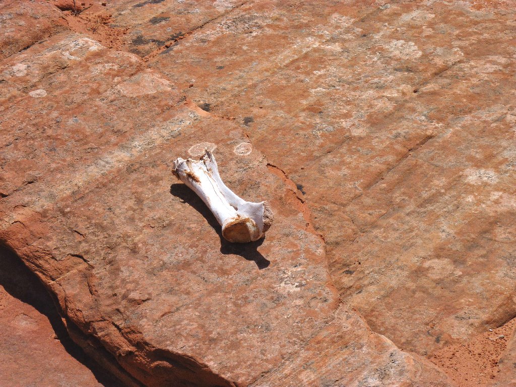
A coyote's lunch?
The trail must be over there somewhere
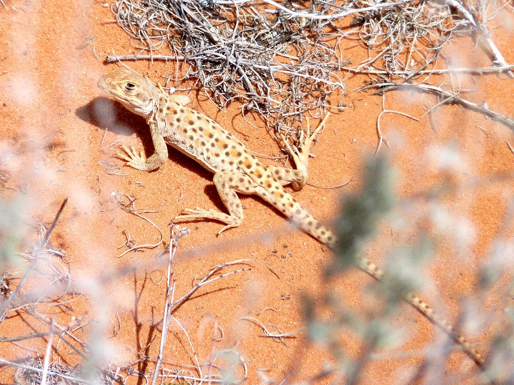
The only wildlife I have seen today
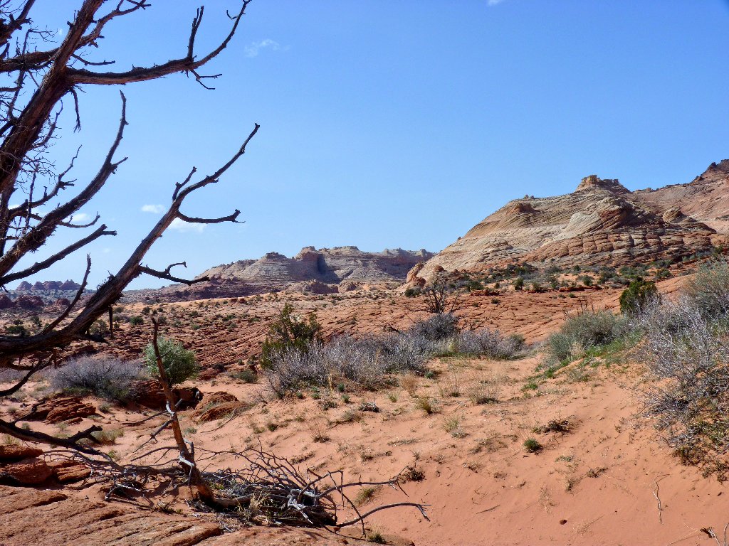
Eventually, familiar territory reappears. Around the next corner is the trailhead.
Near the junction with US-89 is an interesting visual effect:
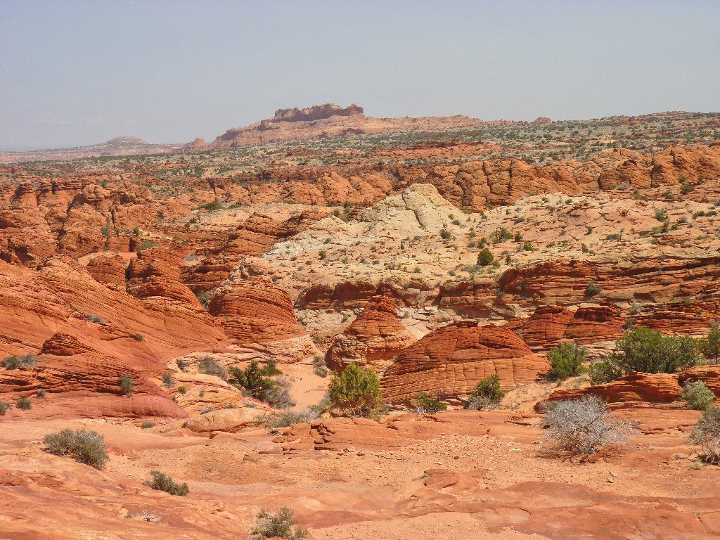
I must return and visit the wonderful formations at the top of this
butte. Next time, my maps and equipment will be in working order.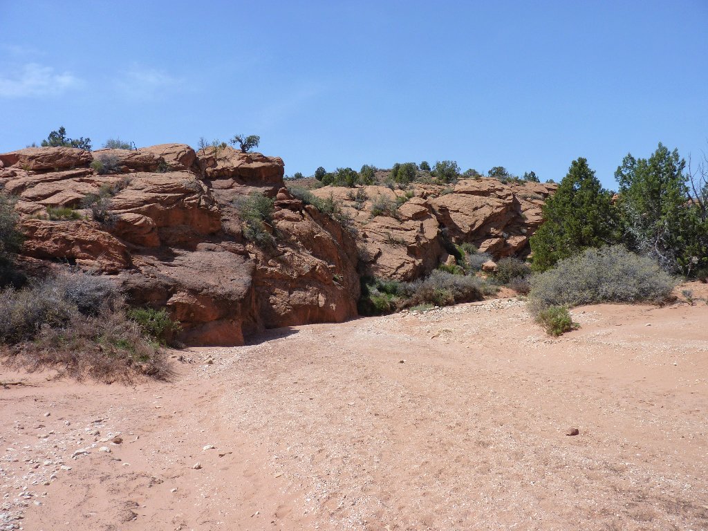
Back in Coyote Wash
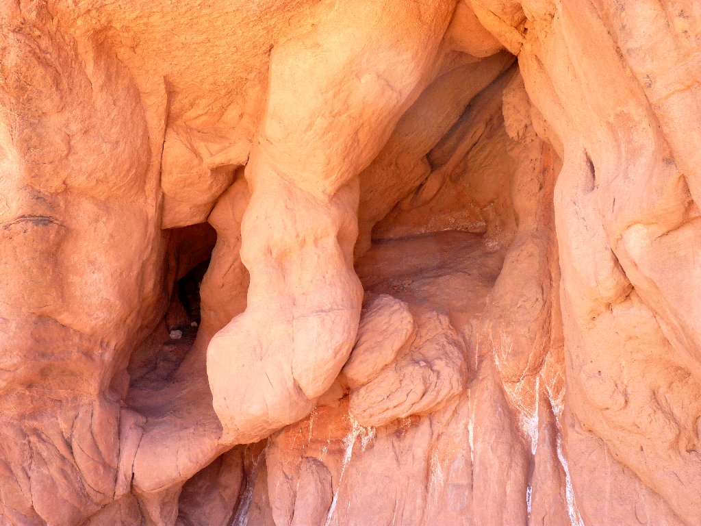
An animal's lair?
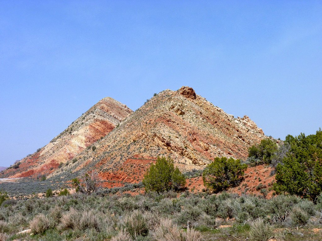
The highway runs between the two hills
§: Every serious hiker and landscape photographer should
visit The Wave, for there is nothing else like it in the known
world. In this slickrock wonderland of the American Southwest,
which sports a plethora of unlikely geologic phenomena, The Wave
lies unique among the rest. Go there; but avoid May-September,
when it can be way too hot.
41 miles west of Page)
on US-89, then 8+ miles south on House Rock Valley Road
Scenery 
Difficulty 
Personality Solitude 
