
Great Basin National Park, Nevada
|
Lexington Arch Great Basin National Park, Nevada |
October 19, 2017
I start out from Beaver, Utah, at just after 6 o'clock on this eleventh and final day of my Fall Bucket List Tour. Home is a great distance away, but of course I cannot merely drive there. I must do some hiking along the way.
My original plan was to tackle Wheeler Peak, Nevada's
second-highest at 13,061 feet; but it is raining a bit right
now, and the weather has turned colder just in the last day.
There are other unexplored trails in Great Basin Park; and the one
I have in mind now is right off this road, disassociated from the
main park complex.

Perhaps the trail will be shorter than I had thought
I am able to drive at 50 miles per hour down this beautifully
graded dirt road — that is, until I reach the state
line, whereupon the surface condition deteriorates substantially.

Now the travel is more typical, with speeds anywhere from
30 mph down to a crawl. At the 9-mile mark
is a junction and this signpost:
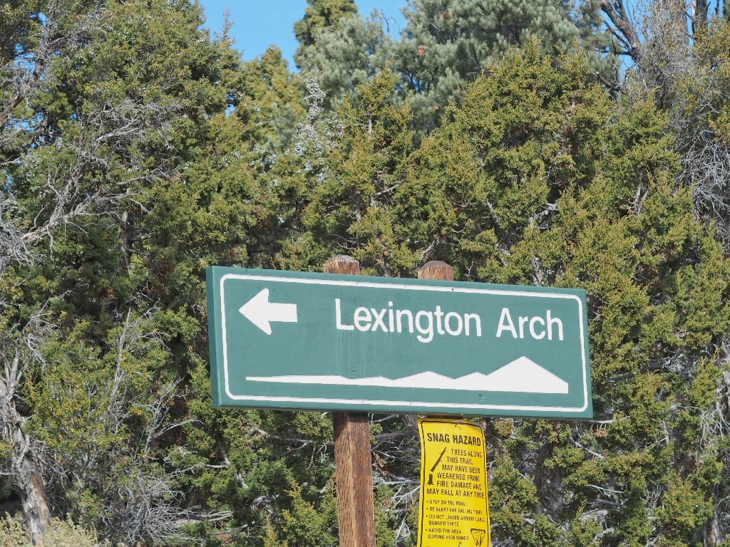
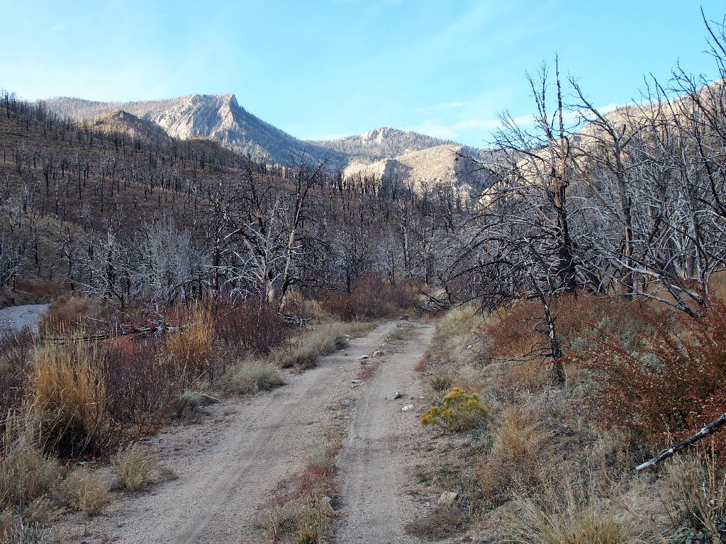
In the next mile or so, the road degenerates from good to terrible, until it is corrupted to the extent that only a tank could continue much farther; yet there are no indications of a trailhead. Strange.

The easy going doesn't last long

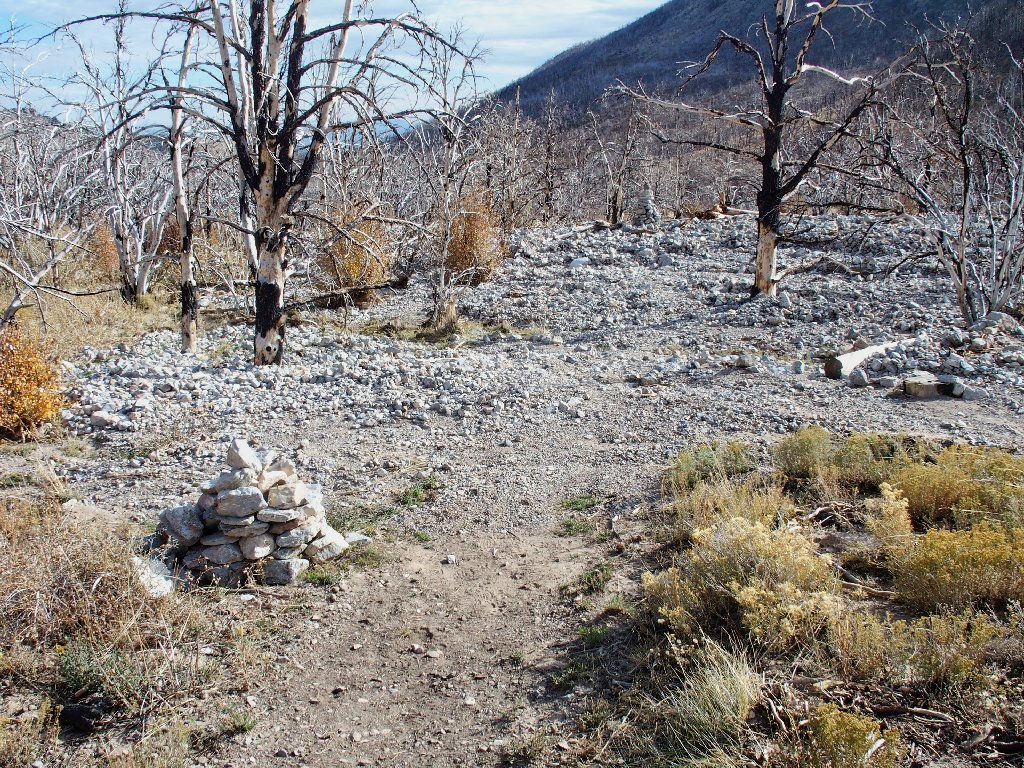
This is far enough
Following all the boot prints up the wash, I finally receive some instruction:
There is no breeze this morning. This is good
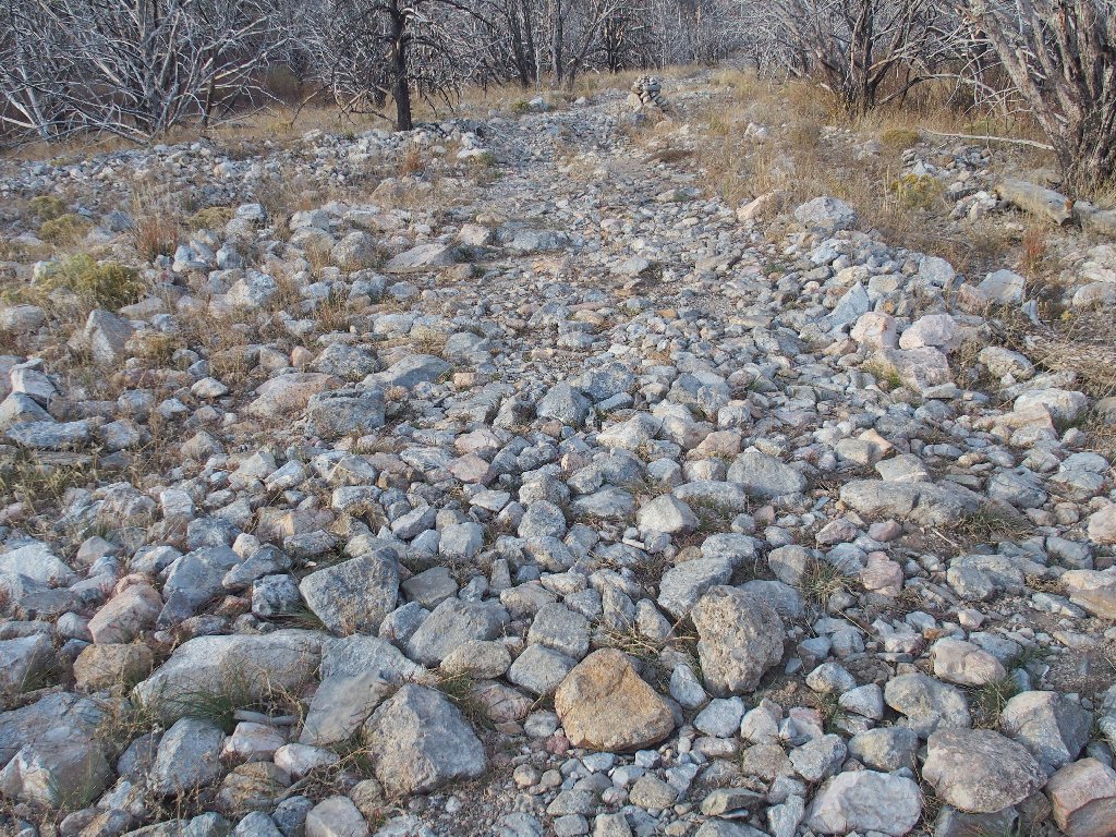
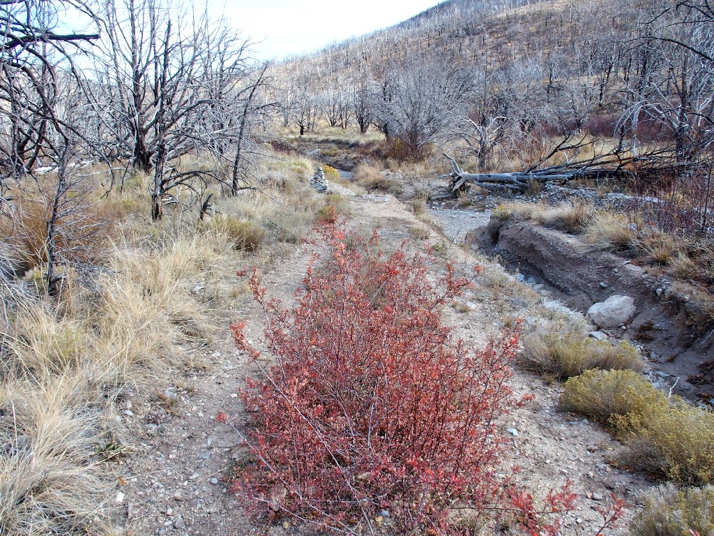
The route alternates between roadway and boulders
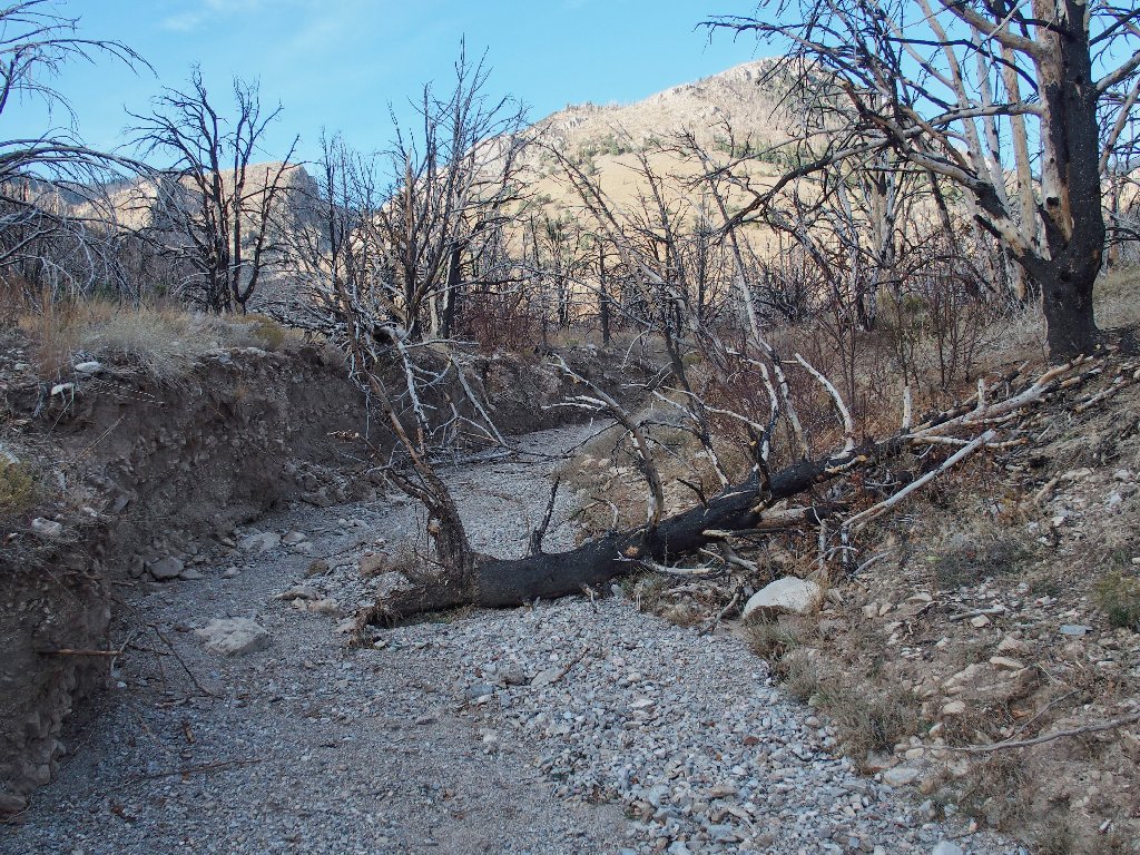
Here are some of those downed trees
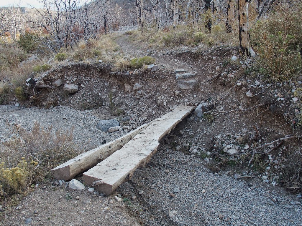
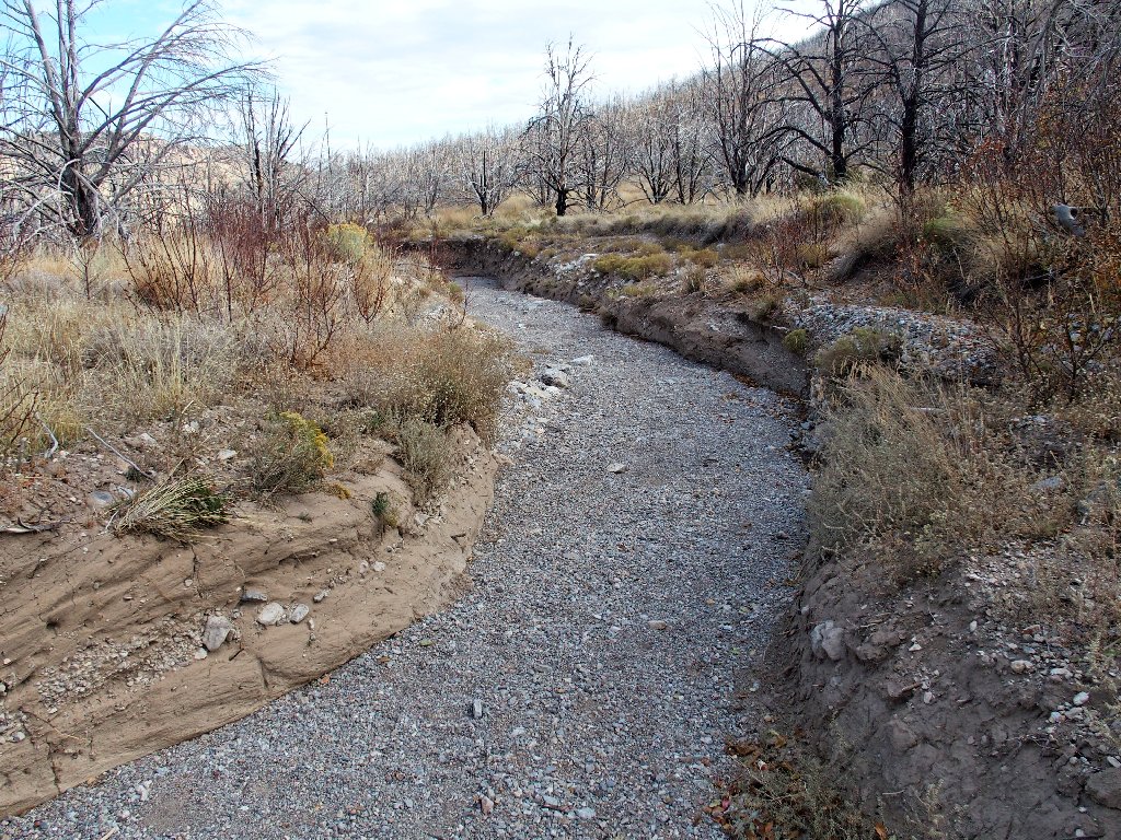
Even though I cannot always see footprints, it hardly can be wrong just to continue up the wash. Then I unexpectedly encounter a real trail sporting a real footbridge. How about that?
Perhaps the route will be more clear henceforth
As I try to stash my camera in its normal pocket, I inadvertently pull my backup camera out of a different pocket, which is supposed to be zipped up at all times to prevent such accidents as this. That's how I lost my wallet a week ago over at Grand Canyon.
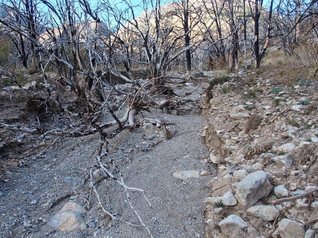
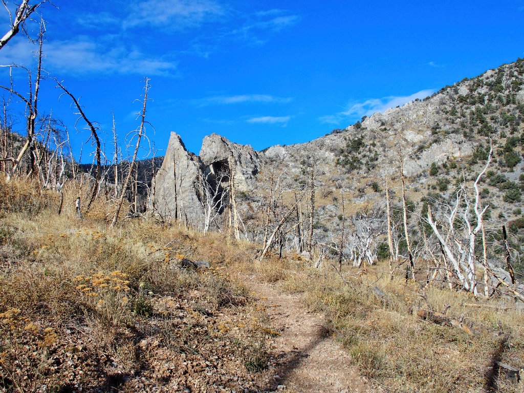
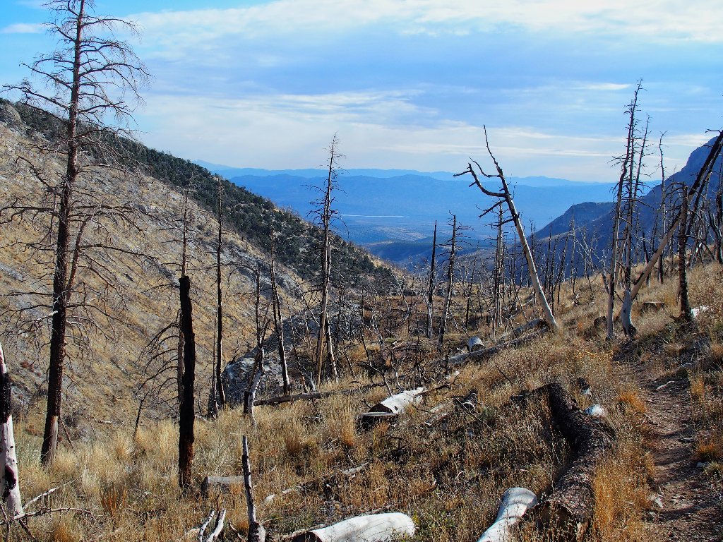
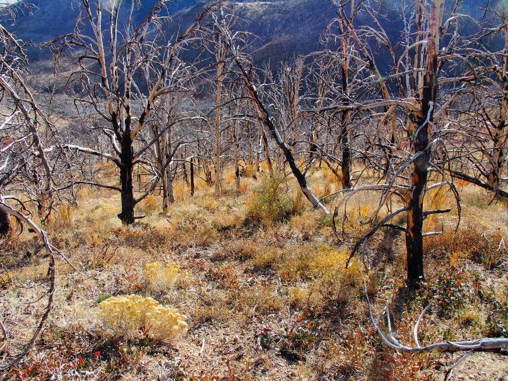
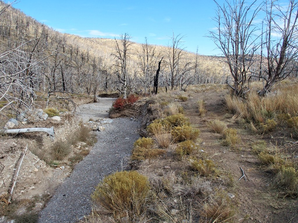
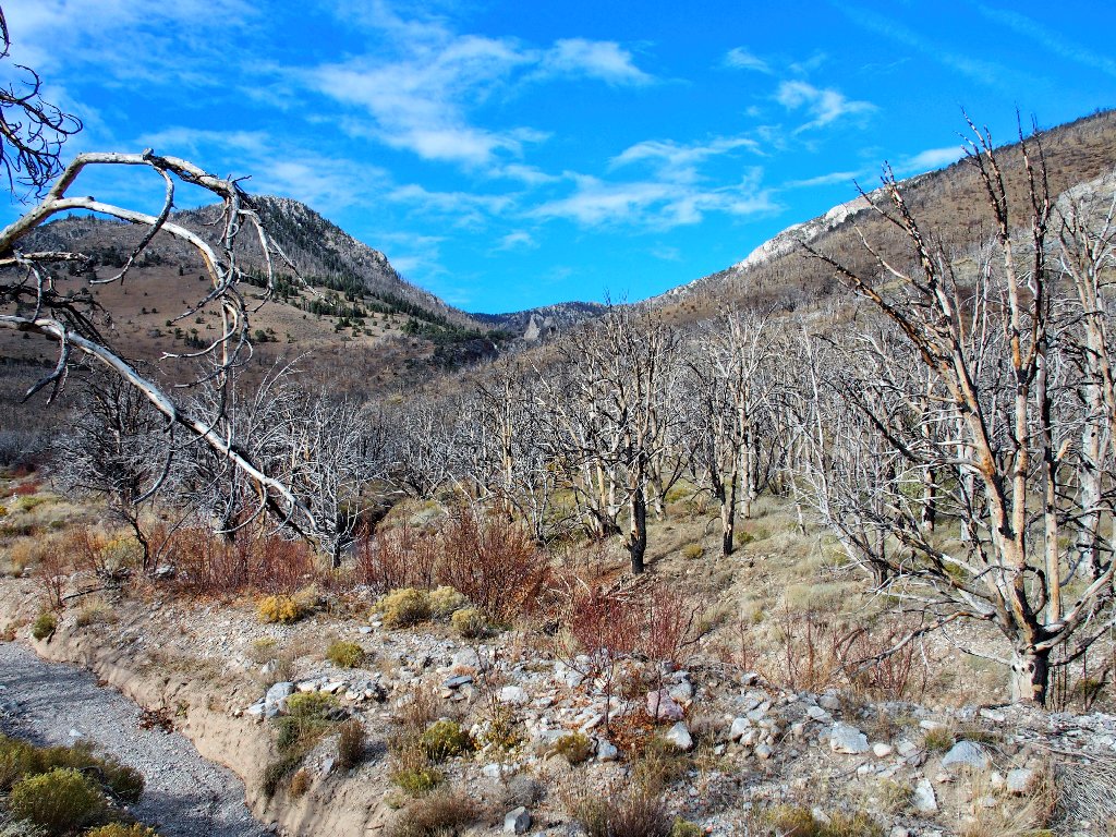
As usual, the burned area is strangely beautiful despite the devastation
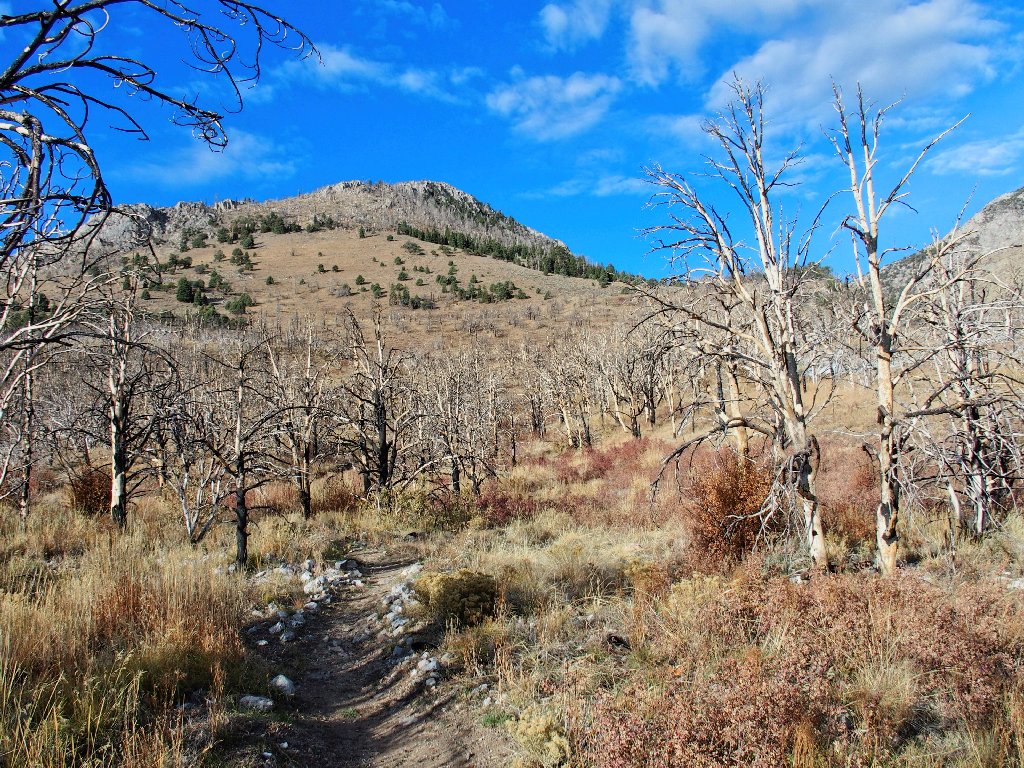
A series of long switchbacks commences. As yet, I cannot determine whether it leads to the canyon on the left or the one on the right.

Slogging back and forth, but relentlessly upward
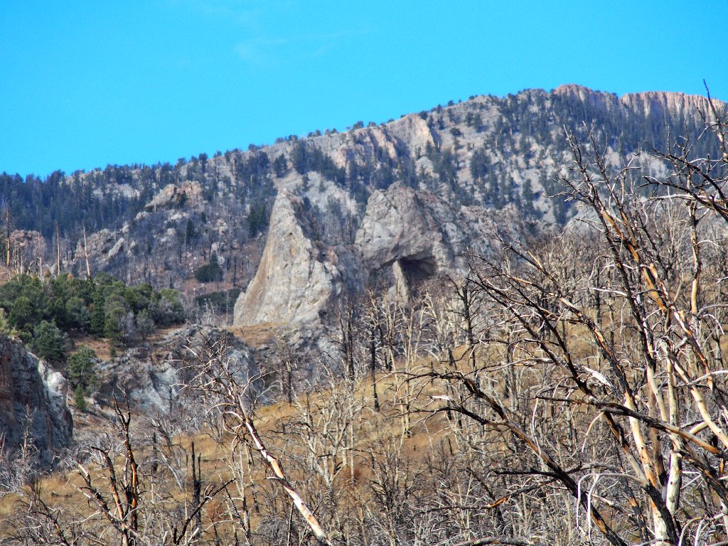
Eventually the bias leans toward the right-hand canyon, and presently I can see why:
There it is
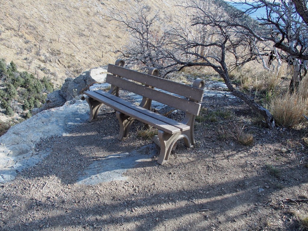
At the edge of a cliff is an overlook featuring a nice bench for viewing the main attraction and taking a rest.
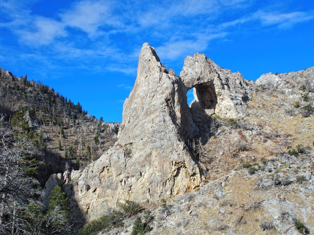
Lexington Arch
What a novel configuration! Most arches are made of sandstone; this one is composed of limestone, suggesting that it could once have been part of a giant underground cave system that included park's Lehman Caves. If that was the case, then this thing is not an arch at all, but a natural bridge. The scientists are undecided.
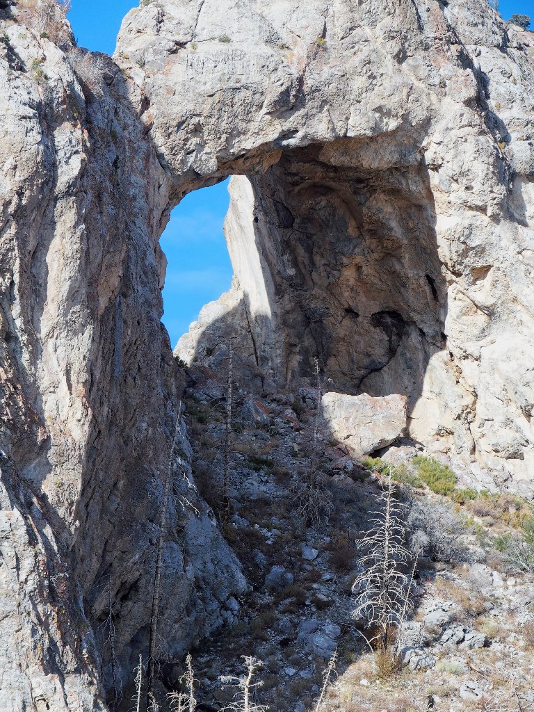
The opening is six storeys high
A difficult use-trail continues toward the formation, but I am content to stop here.
The access road runs right beside Pruess Lake in the distance

Starting back
This slope is not particularly rocky, so I opt to avoid some
back-and-forth walking by heading straight down the hill.
Trees, don't fall on me now!
After saving what turns out to be three-tenths of a mile of travel, I rejoin the trail. Almost immediately, I am stopped dead in my tracks by the appearance of my beloved Avatar sitting in the middle of the pathway.
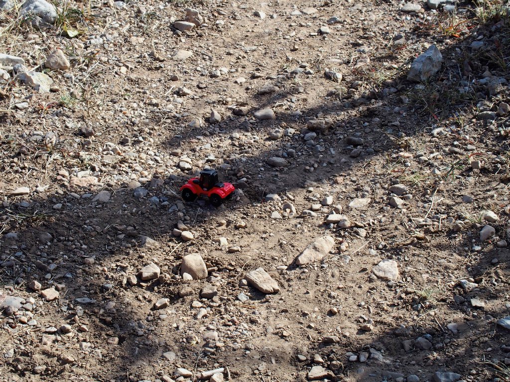
Horrors!
Carmine must have fallen from my pack at the same time that I pulled out the backup camera, and I didn't even notice or bother to look around. Although I would like to ascribe this incident to advancing years, in truth it more closely reflects abject carelessness, which translates to stupidity.
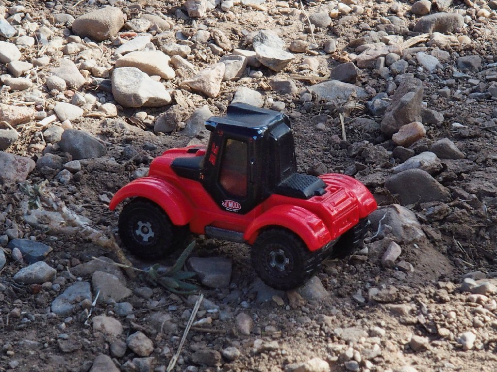
My faithful mascot deserves better treatment
As was the case last week over on the Kaibab Trail, I am very lucky. Today, not only is no one else around to find and pick up my little car, but I luckily managed to cut back onto the trail just in the nick of time.
I'll try to follow the trail from here

A toast to my little friend
Carmine has accompanied me on four continents. It just wouldn't be right to end our partnership now under such untoward circumstances.

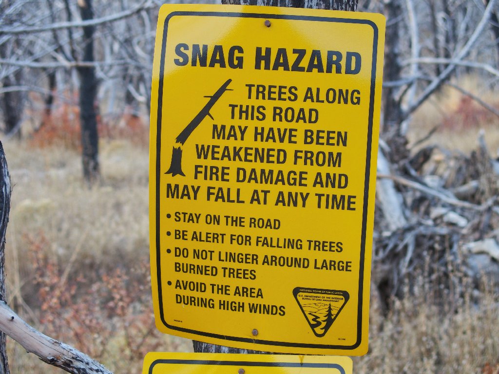
The signpost is not up to national-park standards
This probably is the original trailhead, which explains the signpost distance discrepancies. I still have another mile of walking to do.
Left of the wash
In the wash
Right of the wash
Lexington Arch still is in view from way down here
I didn't know what I was seeing earlier

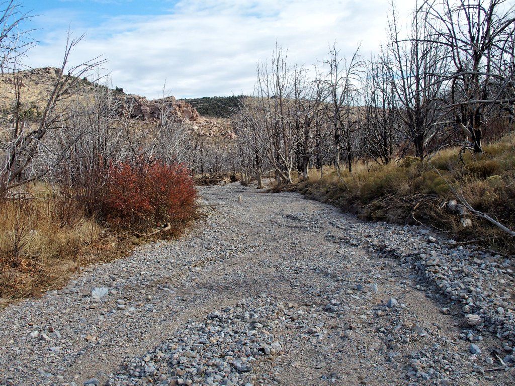
Finishing up in or out of the creek bed; it hardly matters

That car is supposed to be waiting for me
§: It's a good thing that I didn't read the NPS page on
this park's trails in advance, or I probably would not have done this
hike. The current official wording is that this trail is
CLOSED. After the 2013 fire and subsequent water damage,
repairs obviously have been slow in forthcoming. This is just
another example of the unconscionable under-funding of
America's Best Idea.
I am glad that it worked out this way, though; for I had a good
time today, despite the dry and burned-out conditions.
| Scenery |  |
| Difficulty |  |
| Environment |  |
| Solitude |  |

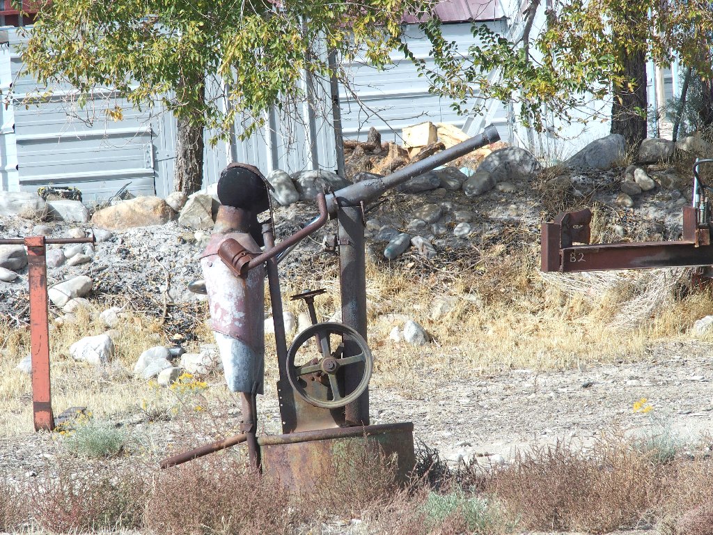
Just up the road is the tiny community of Baker, which serves as the gateway to Great Basin National Park. Its best feature is this roadside battle scene:

Six hours later, after a stop at the Cold Springs Pony Express stop for a grilled ham and cheese on sourdough, the skies over Reno are quite interesting.
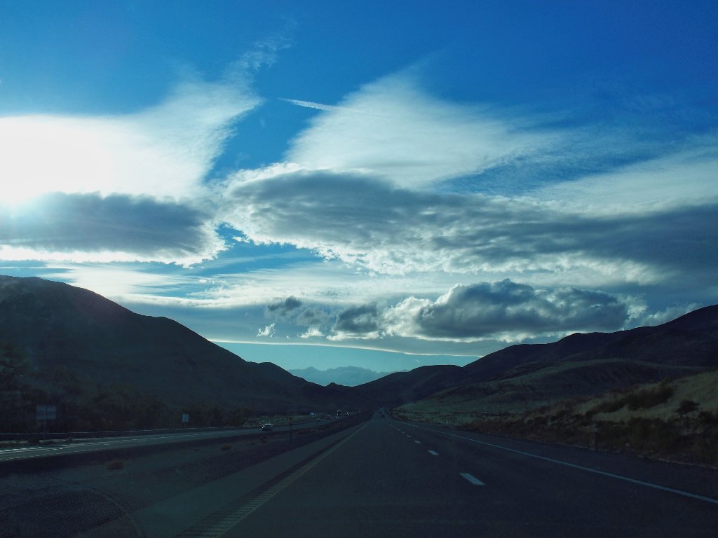
Reno gives good clouds
A couple of hours later, I am back home in Sacramento. This is the second time in two months that I have done a significant hike and driven 660 miles in the same day.

THE FALL BUCKET LIST TOUR IS OVER
What an exciting trip this was! In just eleven days I hiked
in four states and visited five national parks, two national monuments,
a wilderness area, a state park, and much more. Although I
can add twenty items to my been-there list, much more
unexplored territory remains in the western states and provinces.
