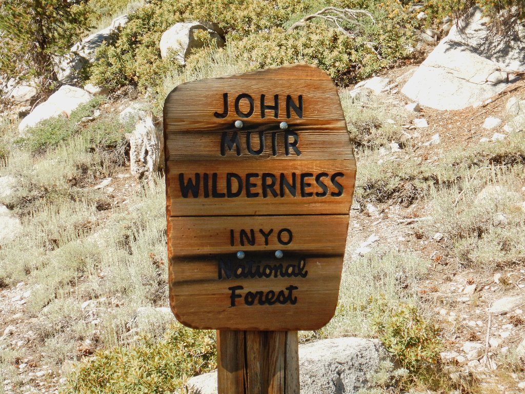
John Muir Wilderness
|
Kearsarge Pass John Muir Wilderness |
August 9, 2016
I was scheduled to be here tomorrow in order to re-supply
my sister on her John Muir Trail trek; but she fell and injured her
tailbone a few days ago, and was compelled to scrub her mission just
beyond the halfway point. Despite her accident, this hike has
been on my bucket list longer than any other in the Sierra;
so there is no reason to cancel it as well.
Gary and Sharon, my Eastern-Sierra connections, will accompany
me today; although it is unknown as to how far Gary will be able to
travel in light of a recent illness.
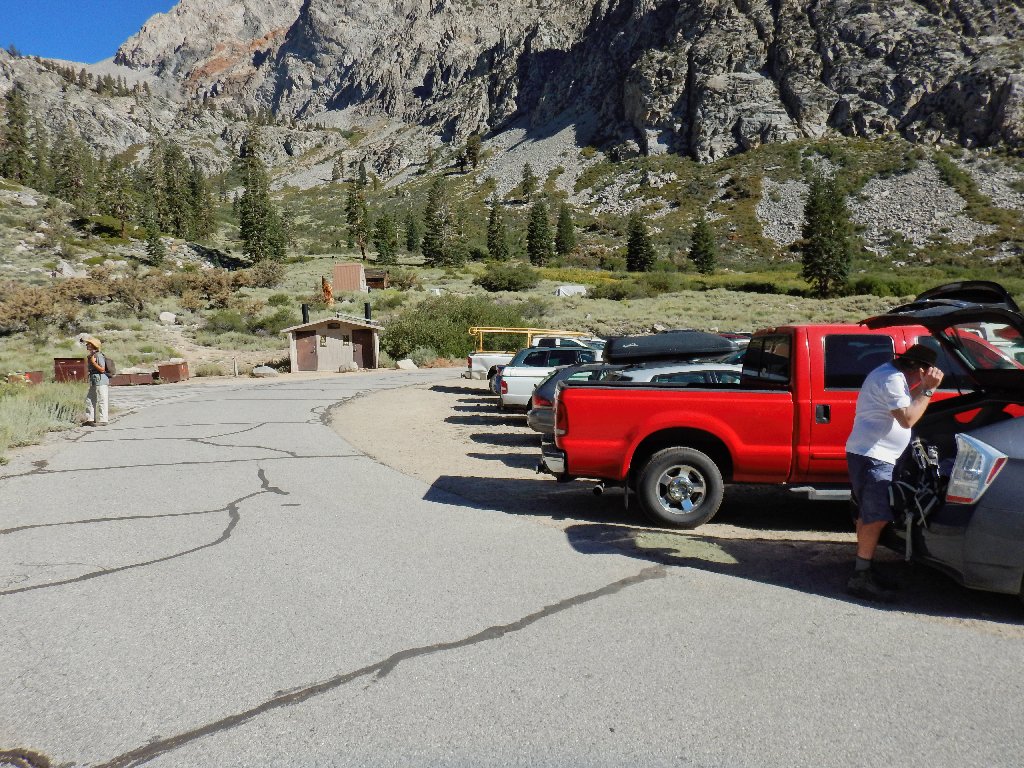
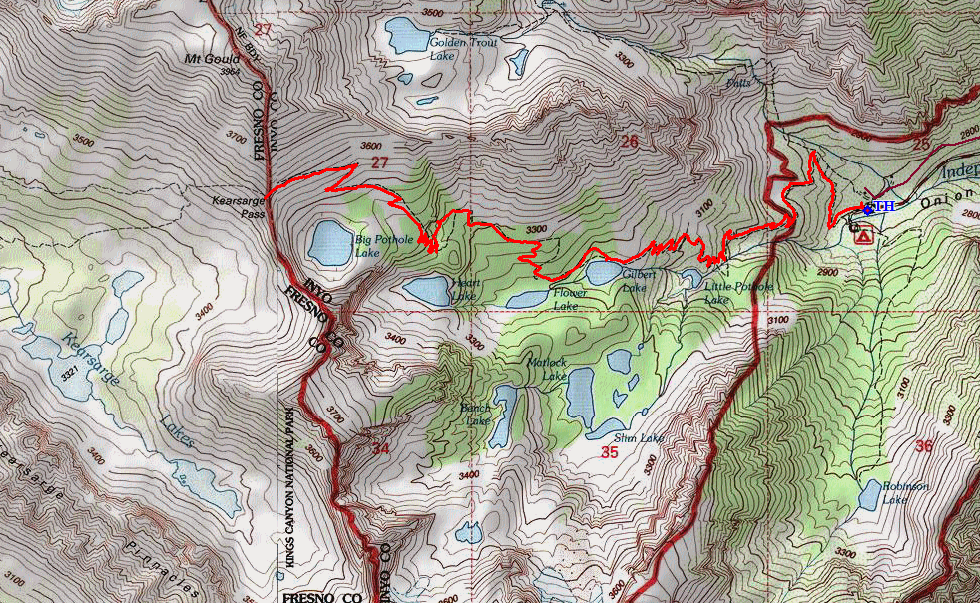
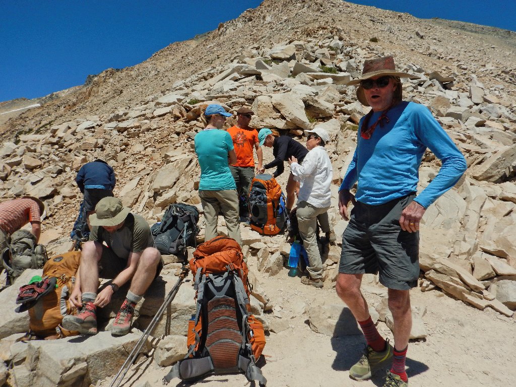
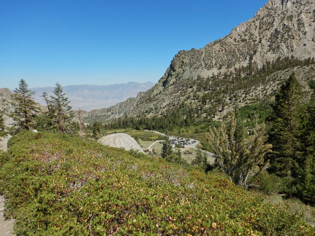
The Onion Valley parking lot is full, but we manage to snag a corner slot
Because Kearsarge Pass itself lies within three walking miles of the
John Muir Trail, this has become one of the most popular routes in the
High Sierra. The big motel in nearby Independence even offers a
shuttle service for hiker-customers needing to re-supply
their treks. There is no other realistic access to supplies for
more than fifty miles to the south or seventy miles to the north on the JMT.
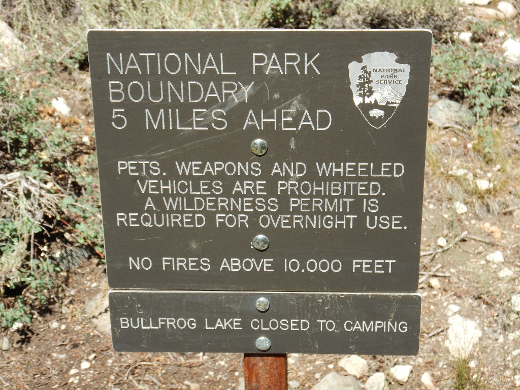
Why the 10,000-foot restriction?
The answer is: one more or less universal rule is that fires are not allowed above tree line (roughly 10,000 feet in the Sierra). In these alpine environments, plants and animals need what few resources exist, and burning what little dead wood there is takes valuable nutrients out of the fragile ecosystem.
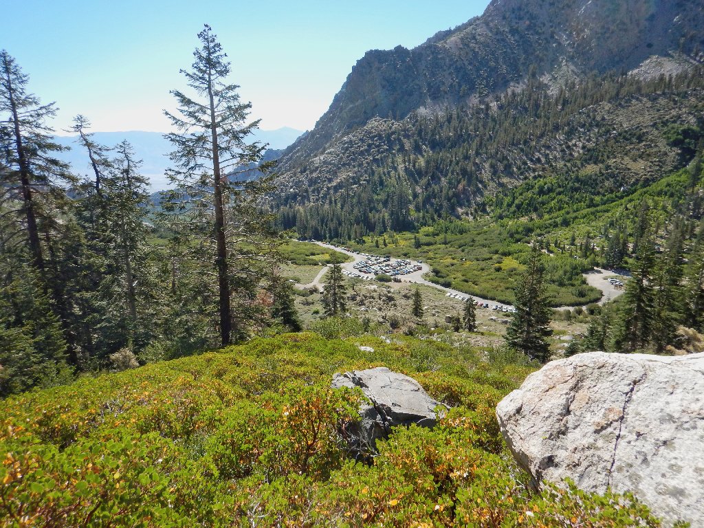
The parking area
America's most popular wilderness — always a pleasure
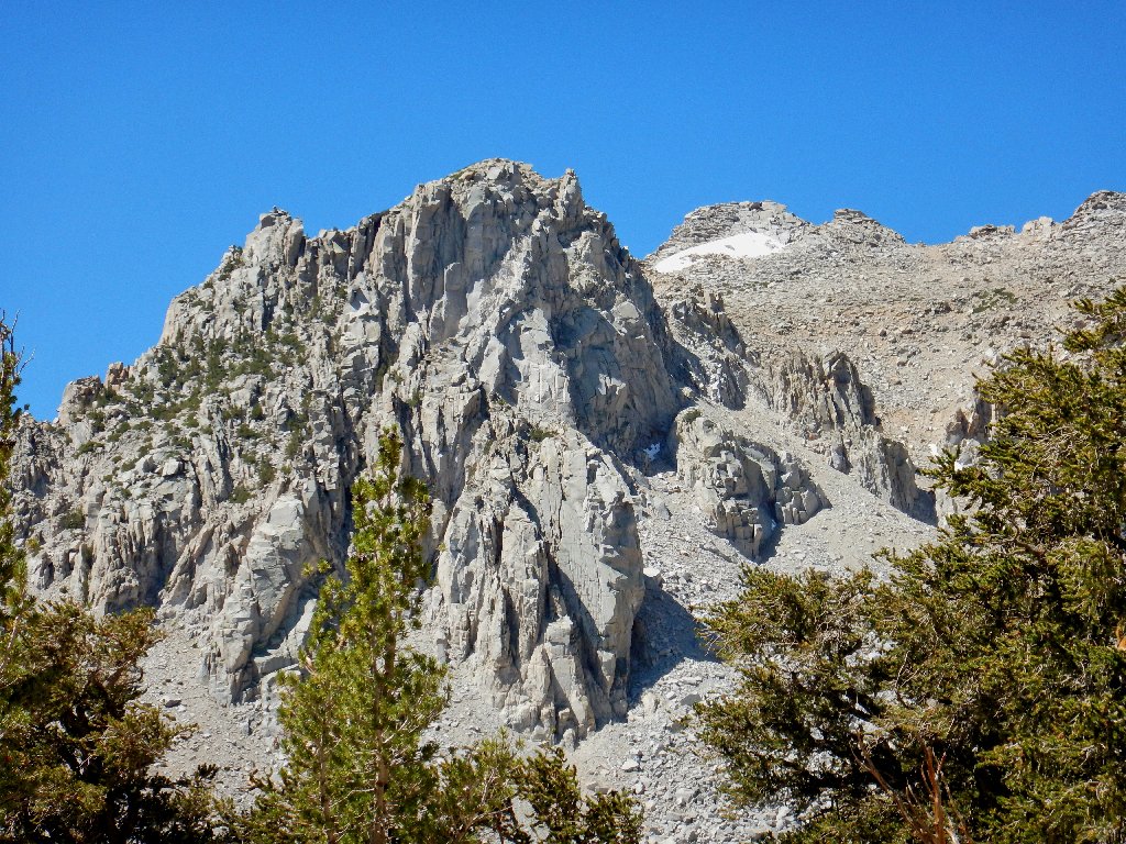
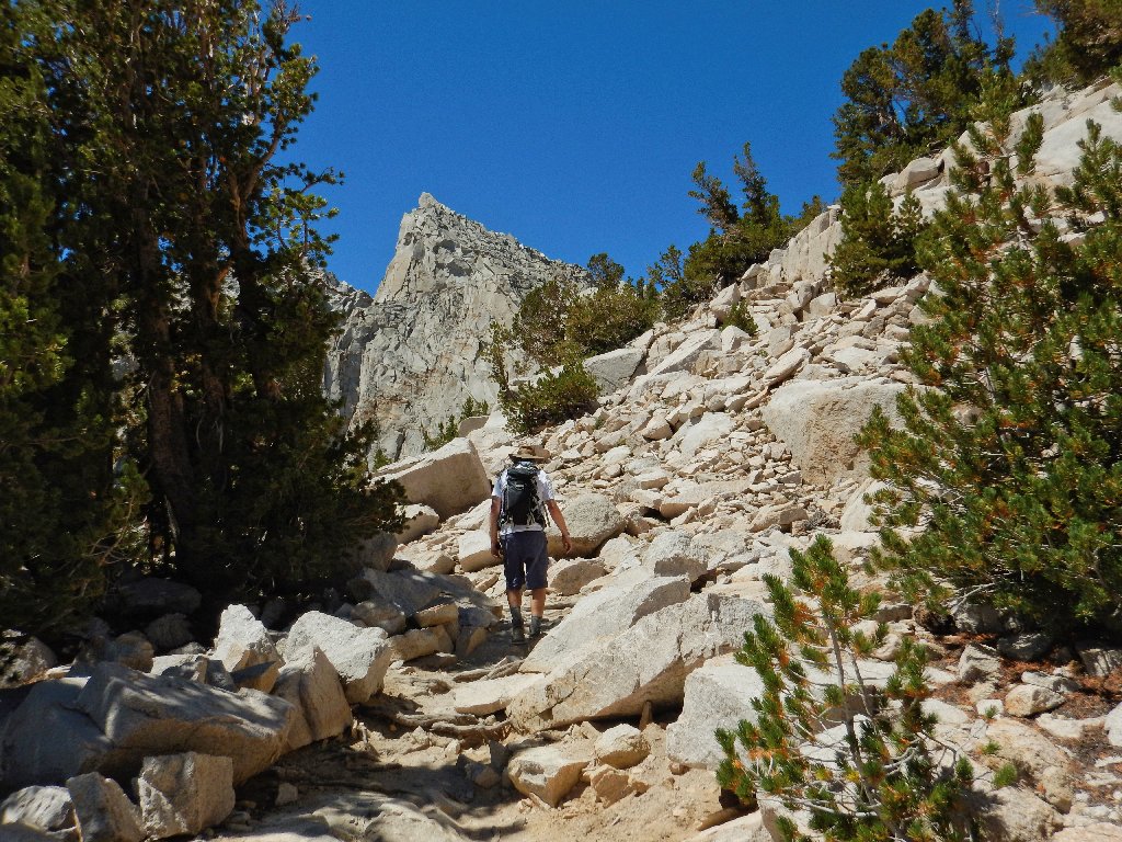
The front of this terminal moraine is so steep that the route is comprised
entirely of switchbacks — somewhat tedious, but necessary.
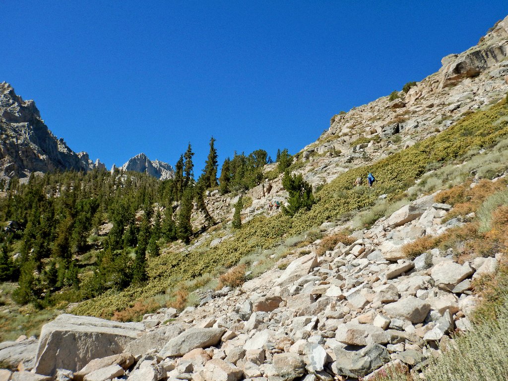
A group of young backpackers is climbing faster than we are
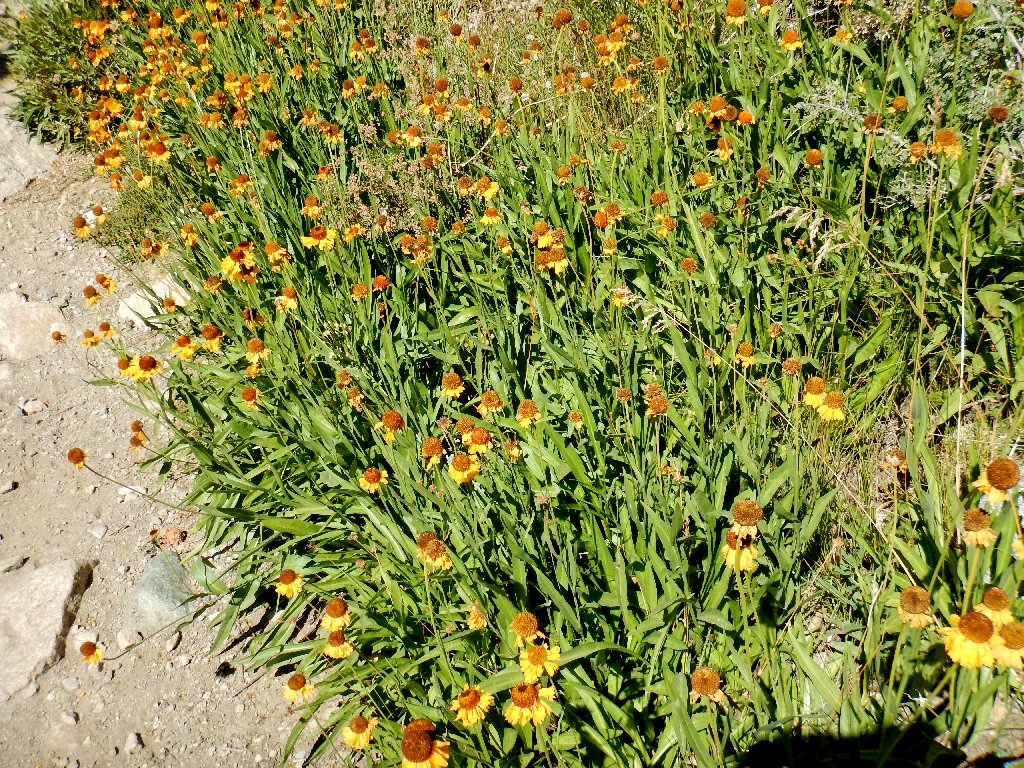
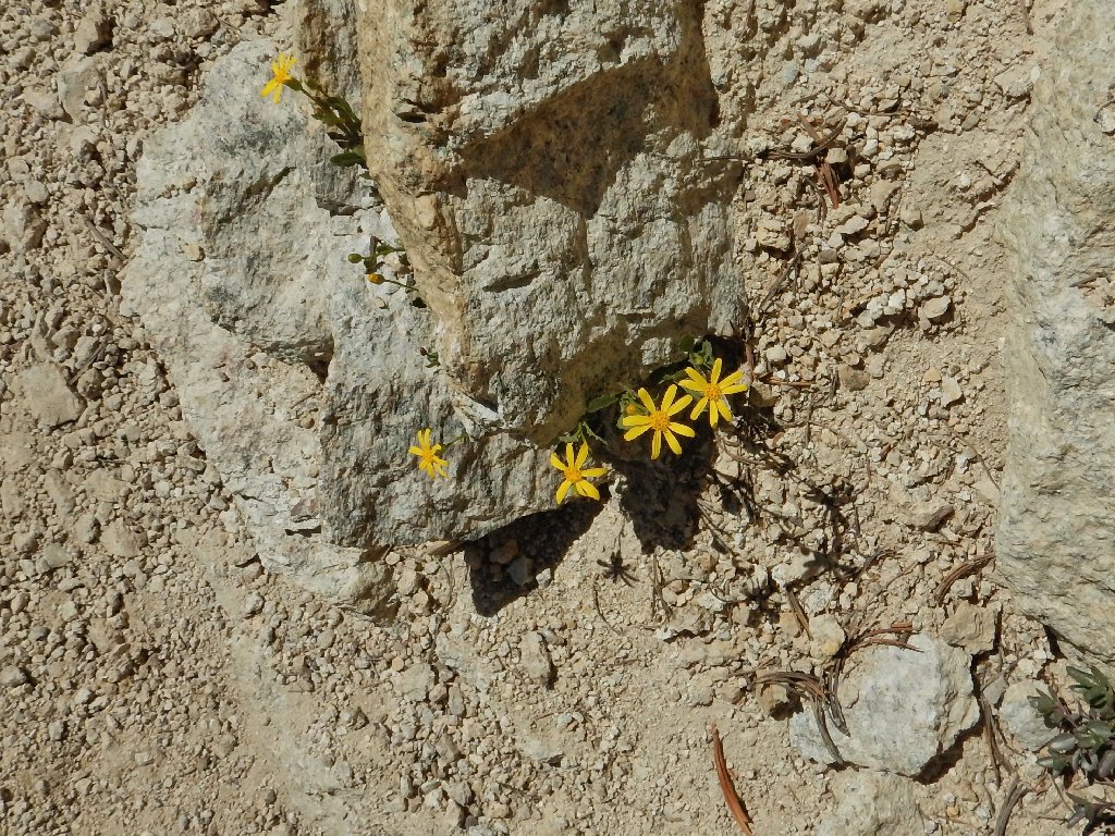
Bigelow's Sneezeweed
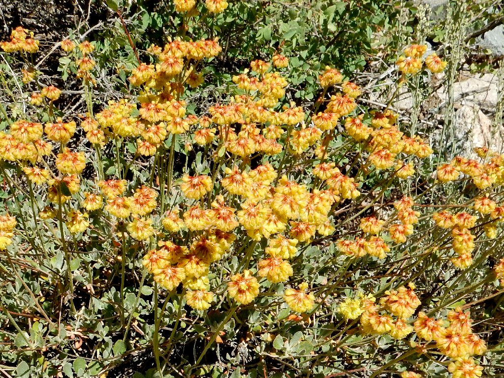
Nevada Buckwheat
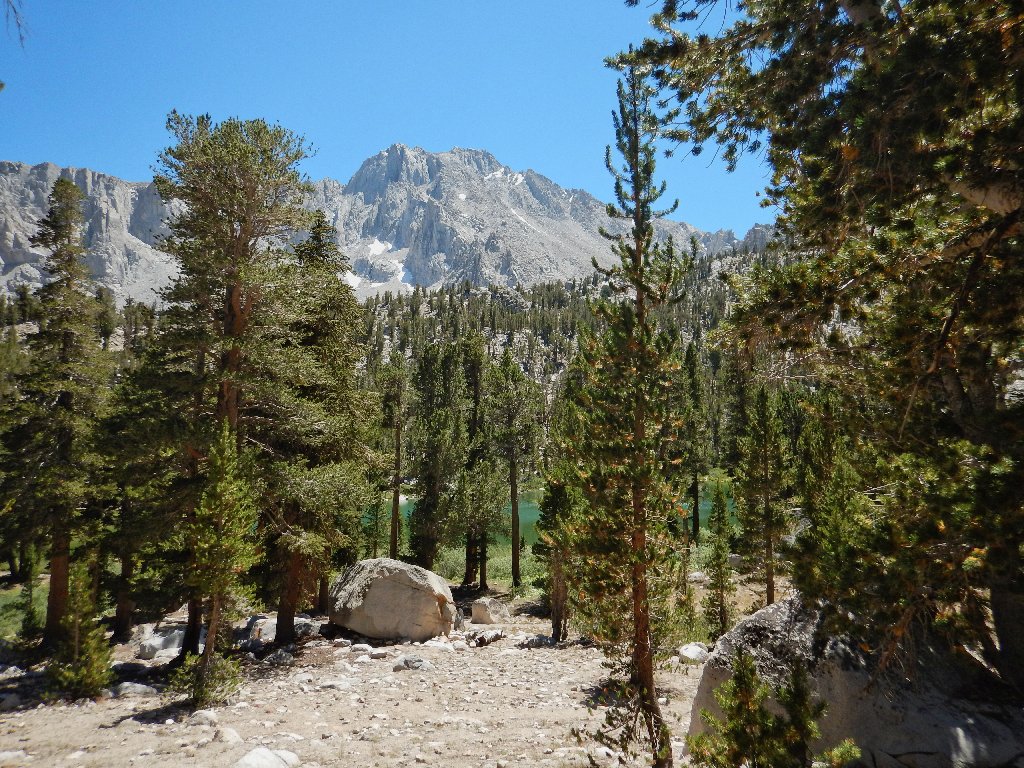
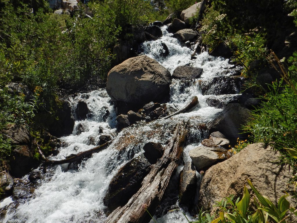
After a good hour of walking, we finally approach some running water.
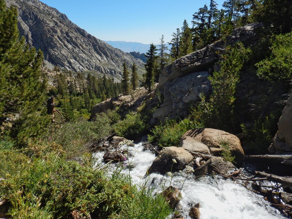
Independence Creek
This scene might be better later on
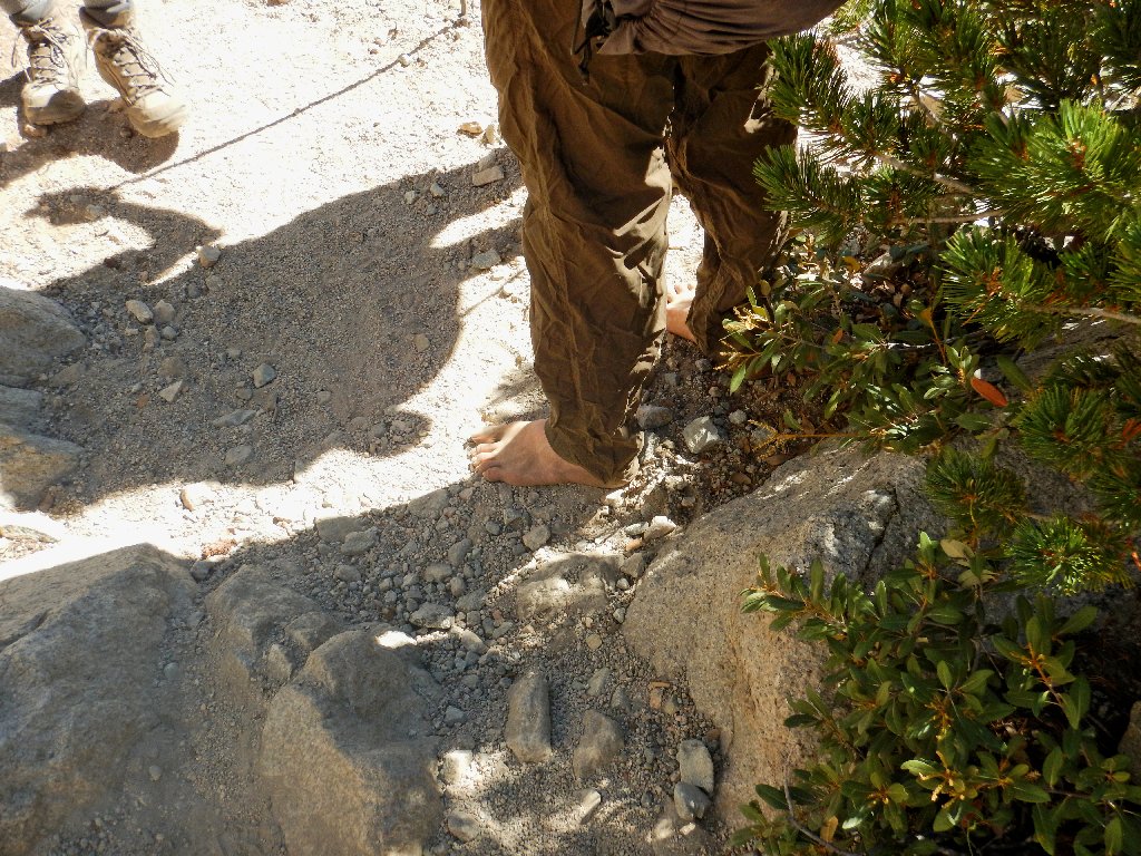
That hiker is barefoot, and he's not just taking a break
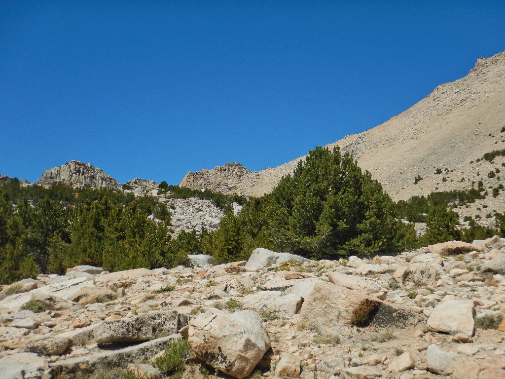
This trail is pretty amazing. Although there are a few difficult
spots and its ascent is relentless, the route seems to conform to federal
standards for stock trails — namely, a maximum gradient of
10% and no obstacle too rough for a mule to handle. This means that
if one just plods along at an appropriate pace, the going never gets too tough.
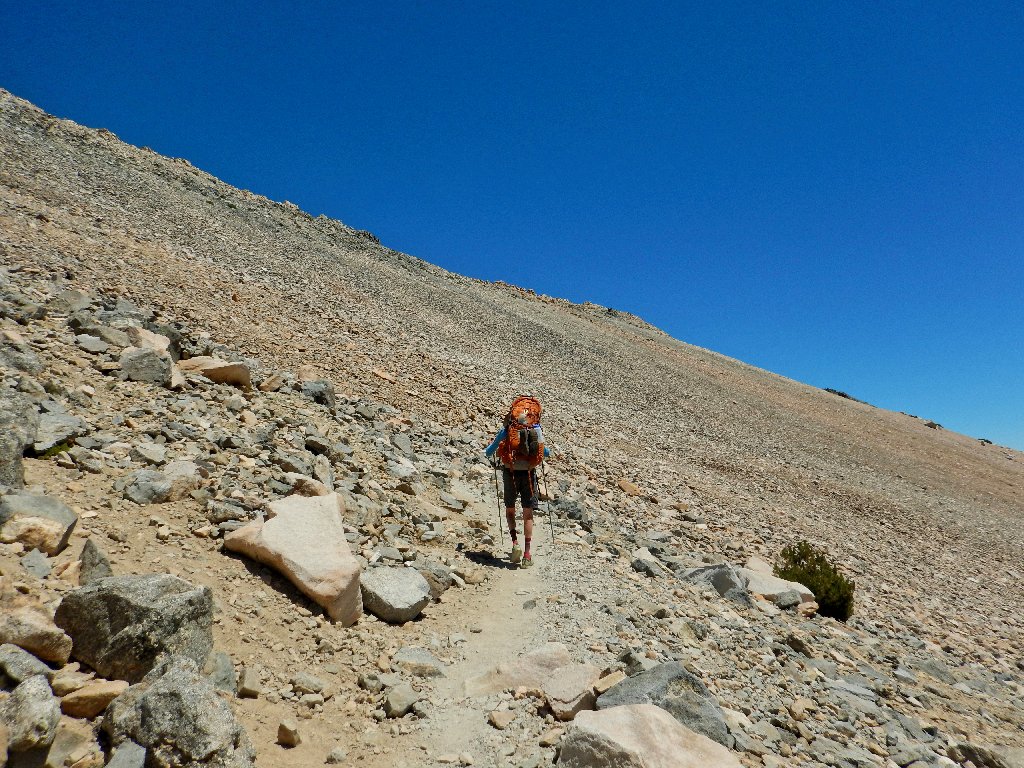
She says that she's going "as far as I can"
The woman has a big tattoo on her left calf. Perhaps I'll grab a photograph if I get a chance.
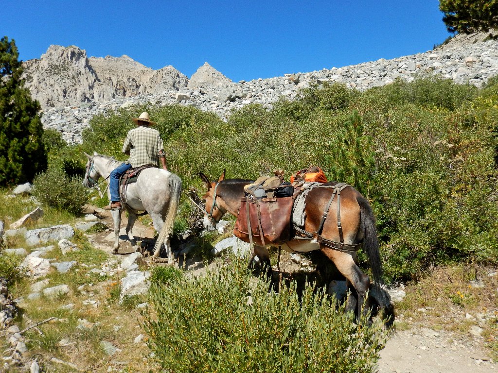
Another day's work
The muleskinner remarks that it's good that he doesn't charge for photographs, although I wouldn't mind if he did.
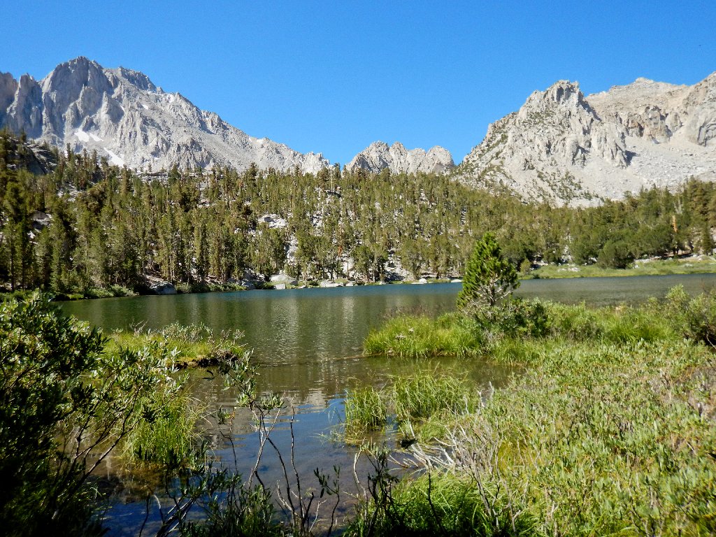
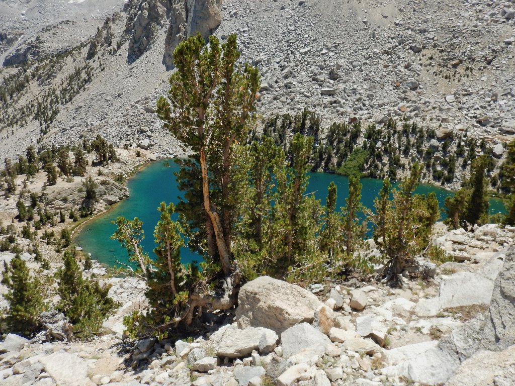
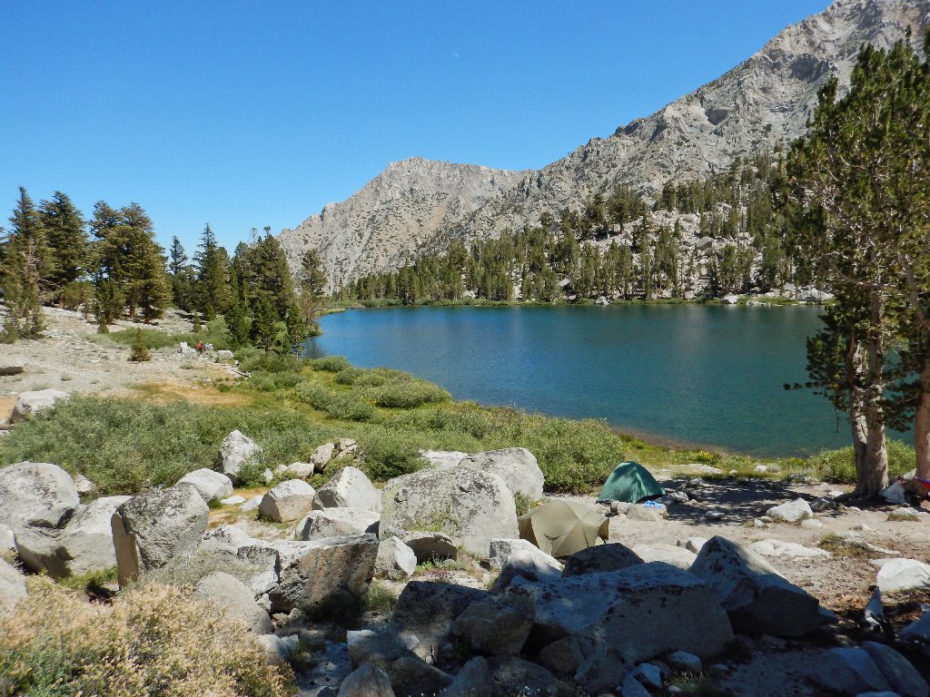
Gilbert Lake
A better view of the hanging lake
Playing leapfrog with the Tattoo Lady
It isn't that much longer before the muleskinner reappears, having dropped off a food cache.
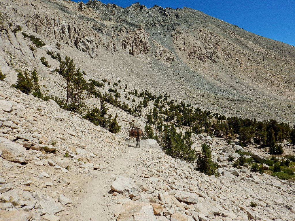
His work is nearly finished
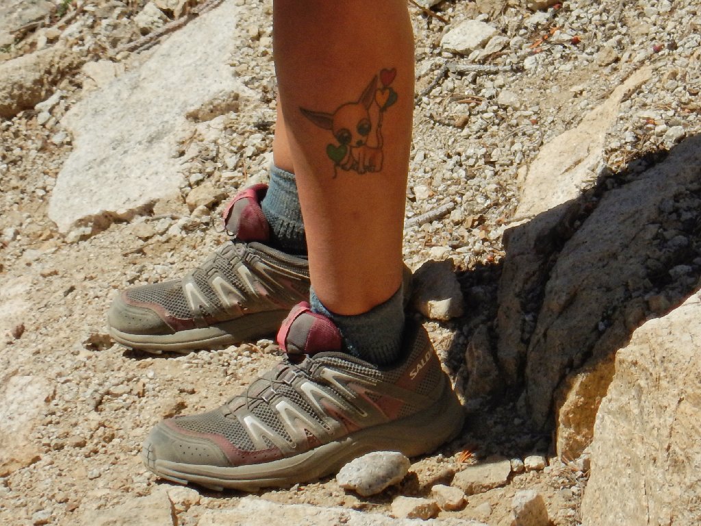
Aha! The mystery tattoo is revealed
She has a big design on her left shoulder as well, but I won't ask her to pose.
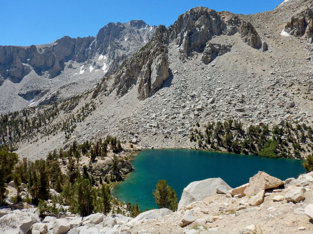
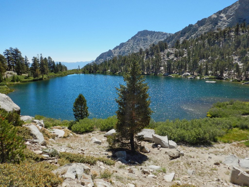
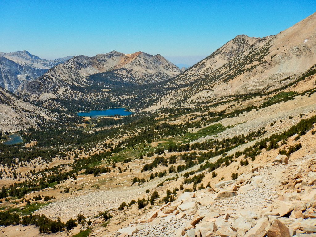
First view of Heart Lake
Mountain Willow
Woolly Sunflower
Gary is showing signs of wear. Sharon has elected to forge ahead, which is perfectly fine; but I will stay with my convalescent friend for as long as he cares to continue.
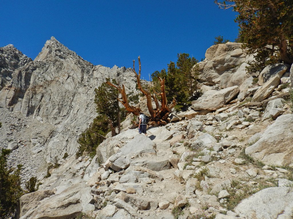
Gary discovers a Bristlecone Pine
This find is special because my companions apparently were unaware that bristlecones existed west of the White Mountains, which lie on the other side of Owens Valley.
Hanging in there
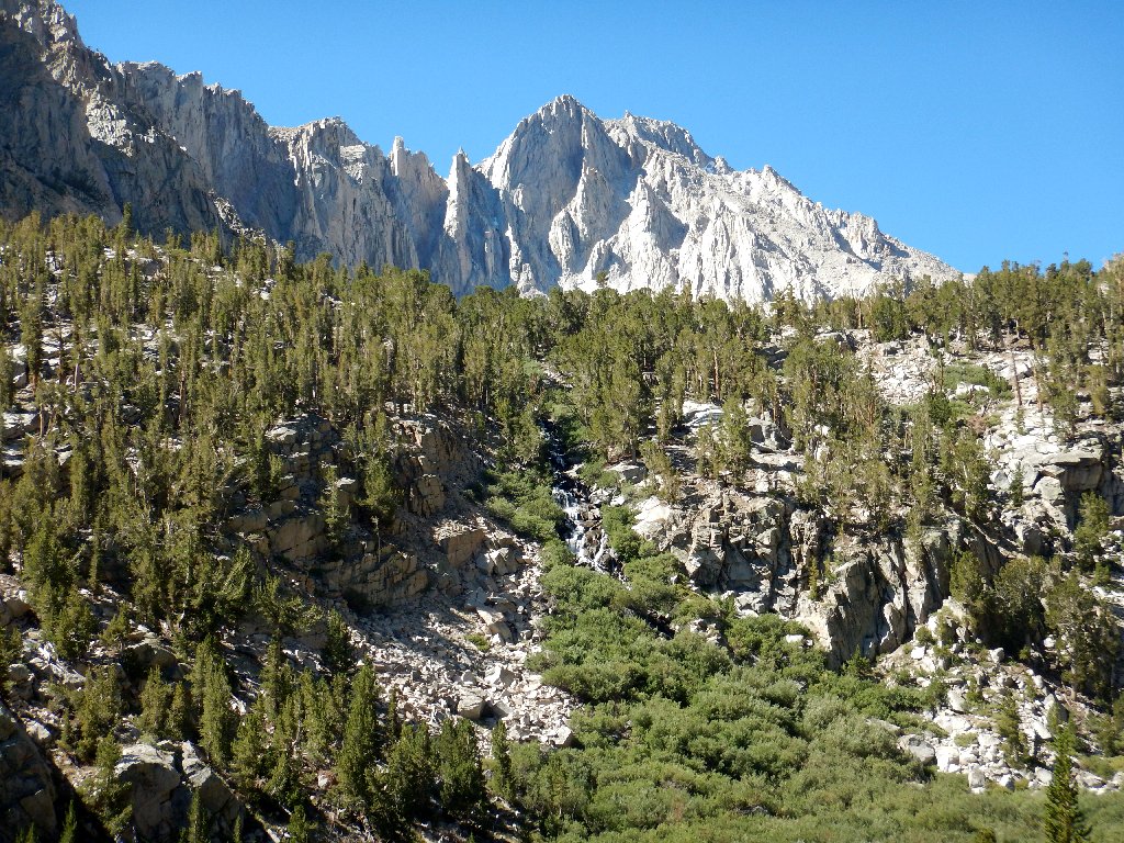
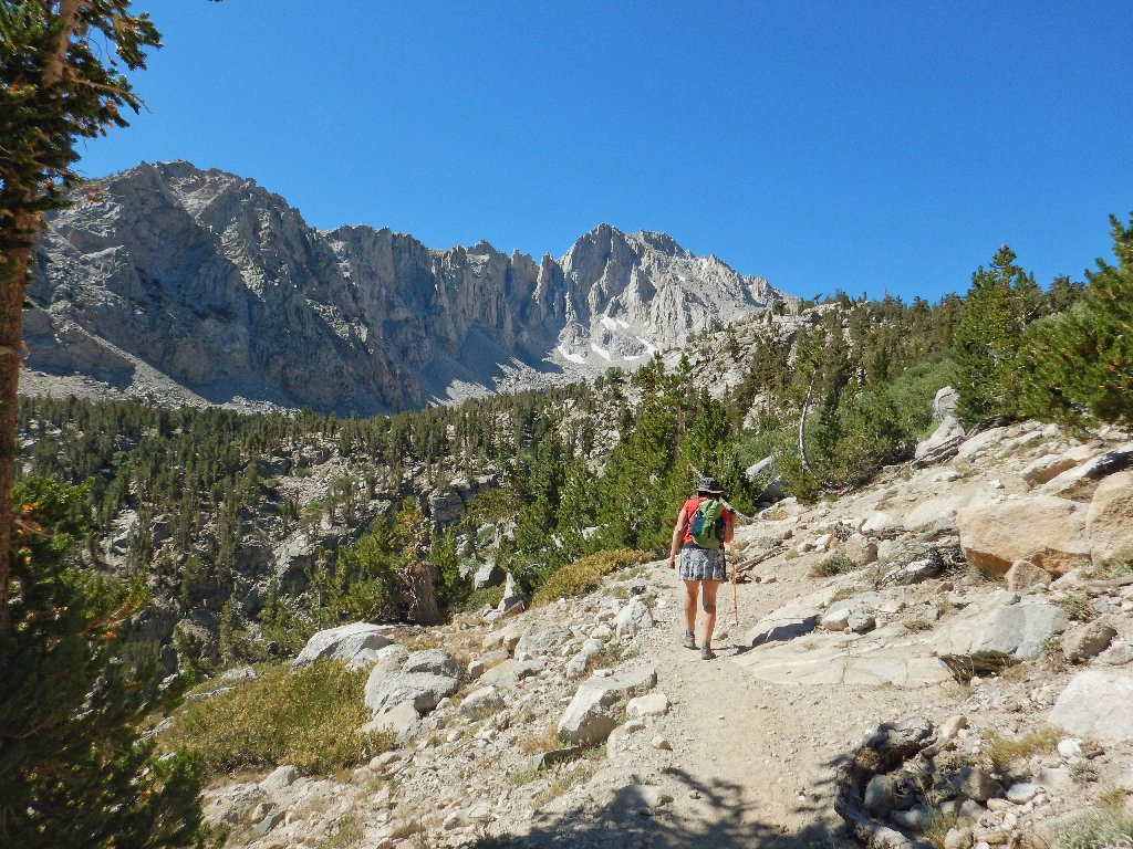
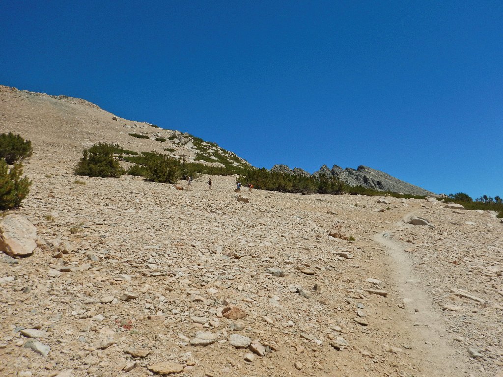
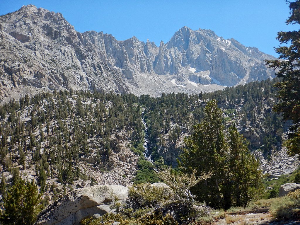
Finally, the trail levels out for a time. Gary and I are treated to a first view of the destination:
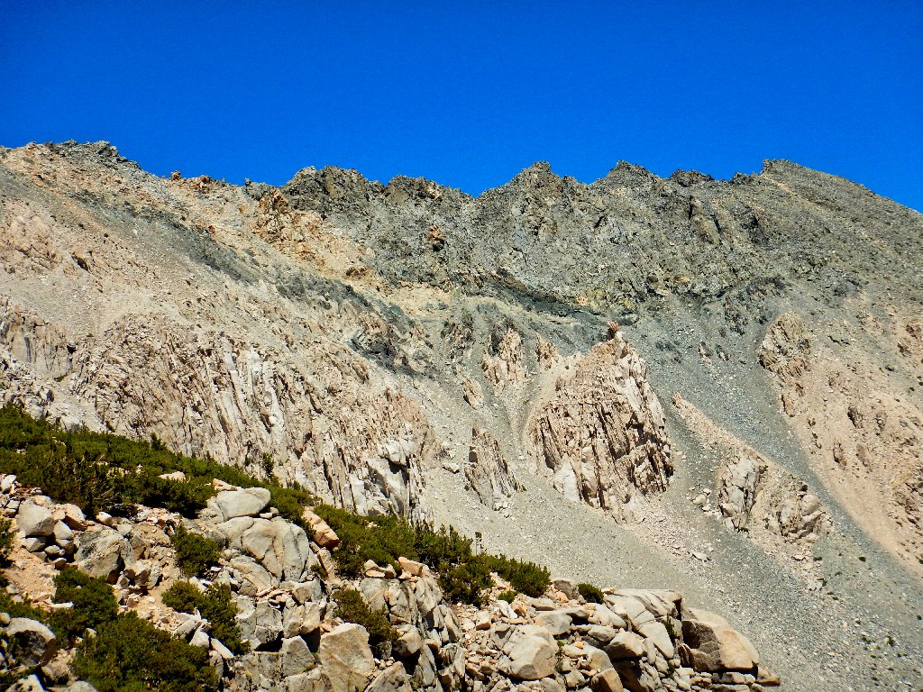
Kearsarge Pass is right in the center of this scene
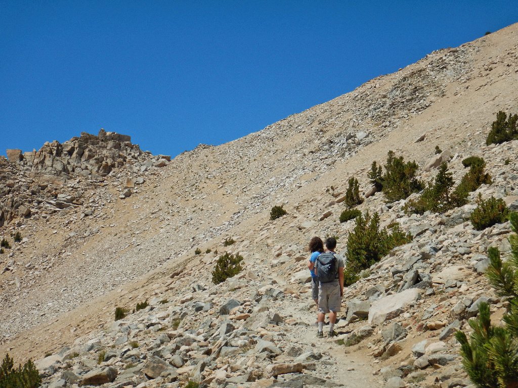
This will be the end of the line for Gary. One look at the trail
zig-zagging up the stark rocky slope is enough, and he is virtually
out of water in any case. Gary has climbed 2,000 feet, though, which
is significantly more than expected. He will meet us back at the car.
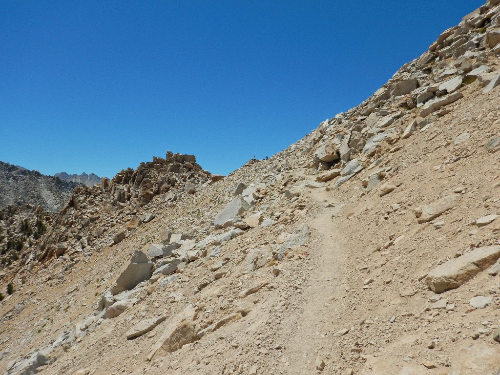
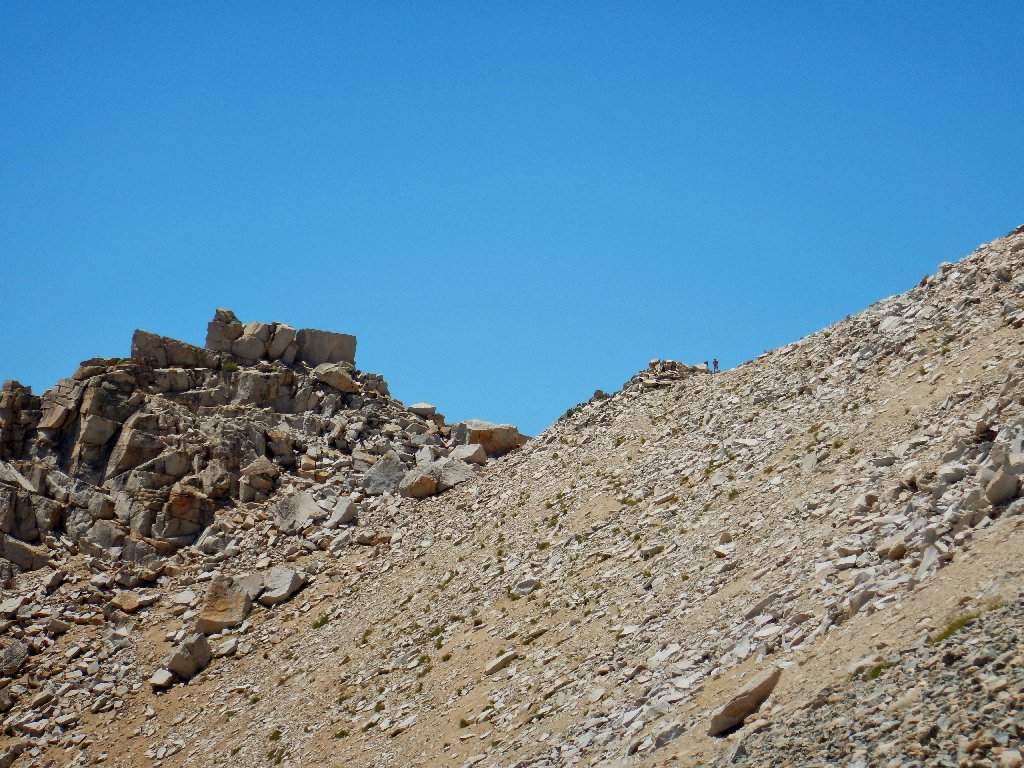
The last lap is a long Z-curve across a mountain of scree
With just a few hundred feet remaining, I encounter two young men who actually are debating whether to quit right here. Upon hearing this, I admonish them that "The view at the top is to die for"; whereupon one of them opts to continue. Thanking me for the encouragement, he takes off as I stop to rest.
What a shame to call it quits so close to the top
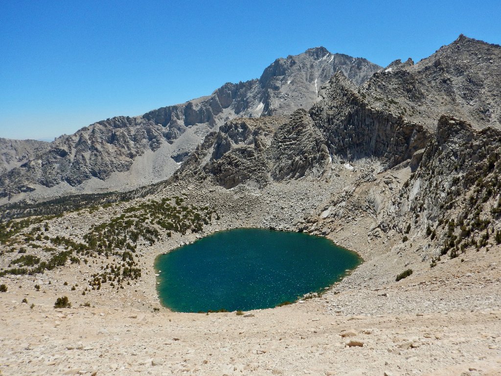
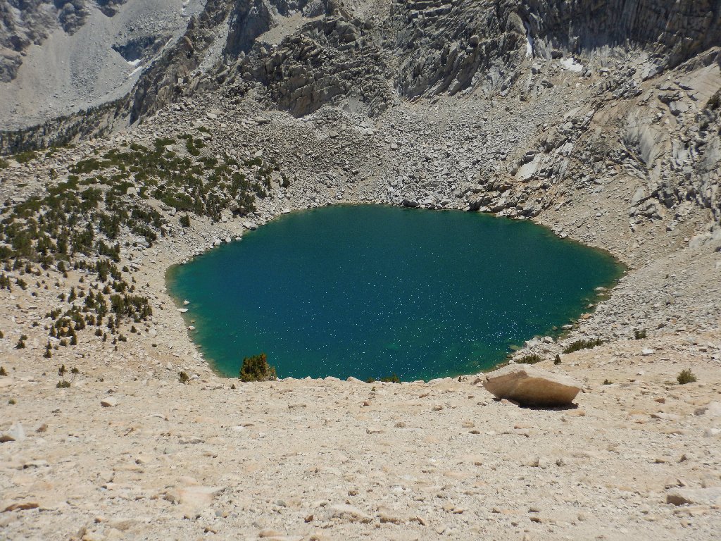
Big Pothole Lake, 11273'
There is a Little Pothole Lake as well, on the other side of Gilbert Lake; but we didn't recognize it as such at the time, and I have no photograph of it.
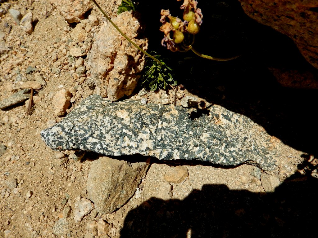
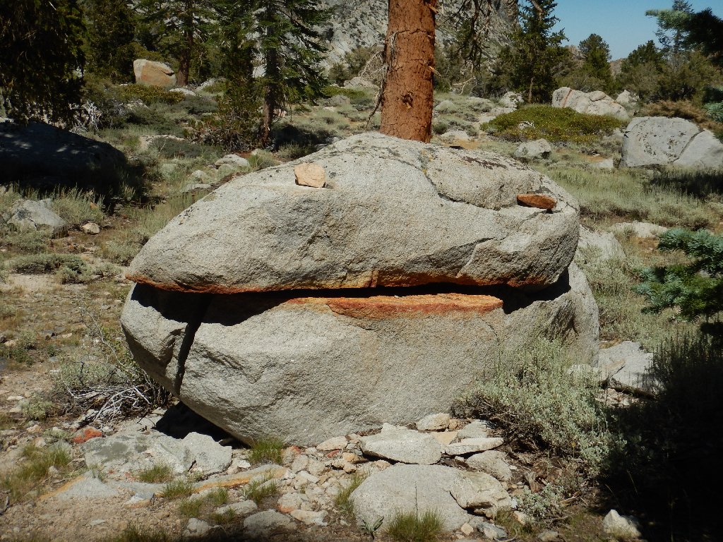
Nice rock
I'll see this guy later
I am pleased to see that Sharon has not abandoned hope of my arrival and started back already.
It's not far now
Unlike my experiences at Virginia Lakes Pass and Vogelsang Pass, I know what to expect of the upcoming westward view; but even that doesn't prevent my jaw from dropping. Oh, my!
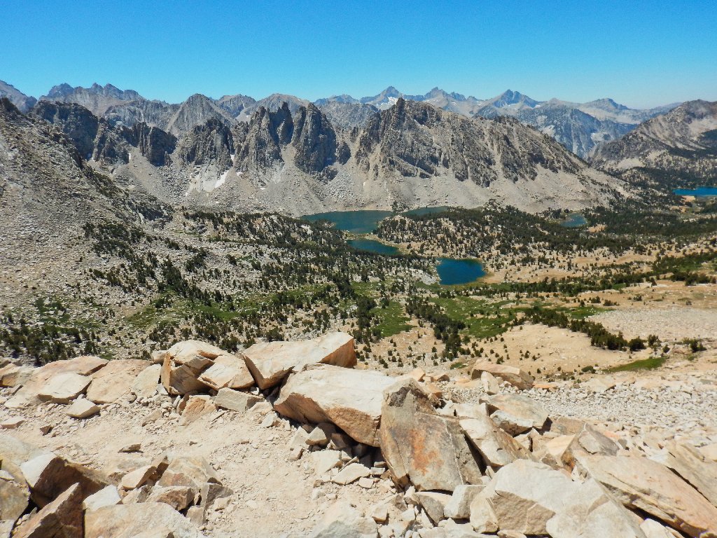
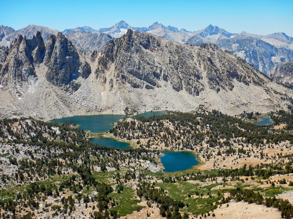
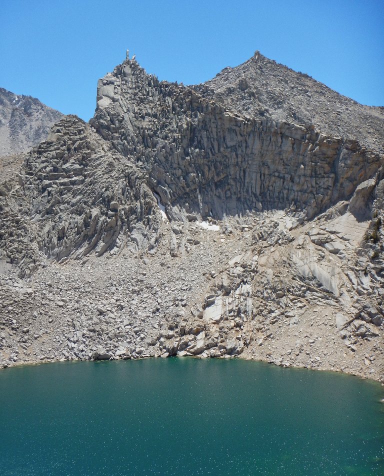
Kearsarge Lakes and the Kearsarge Pinnacles
Here's the same scene without the trail in the foreground:
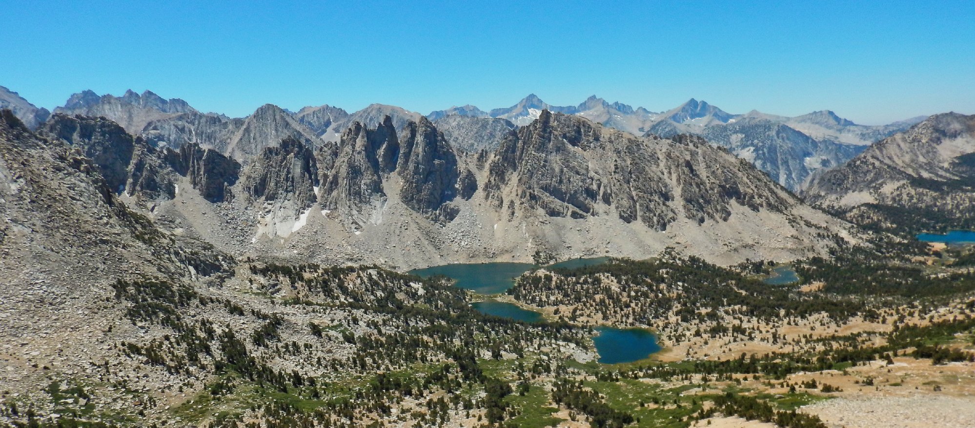
This is why I go hiking ⇔
The Sierra Nevada are at their most sublime in Kings Canyon Park. Most of the distant peaks are more than 13,000 feet high.
Bullfrog Lake and Mount Bago
The seven backpackers that we have been dogging all day are preparing to head down into the park. They won't be spending the night at Bullfrog Lake, though. There is a popular campground on the John Muir Trail behind the pinnacles, but it's a long afternoon walk from here.
Reconnoitering at the summit
Sharon has indeed waited patiently for me, for the better part of
an hour altogether. The tall guy with the blue shirt and the skinny
legs is not part of the big group, but has a serious mountain-climbing
agenda of his own. He offers to take photographs, promising not to
"decapitate us" in the process, and does a good job.
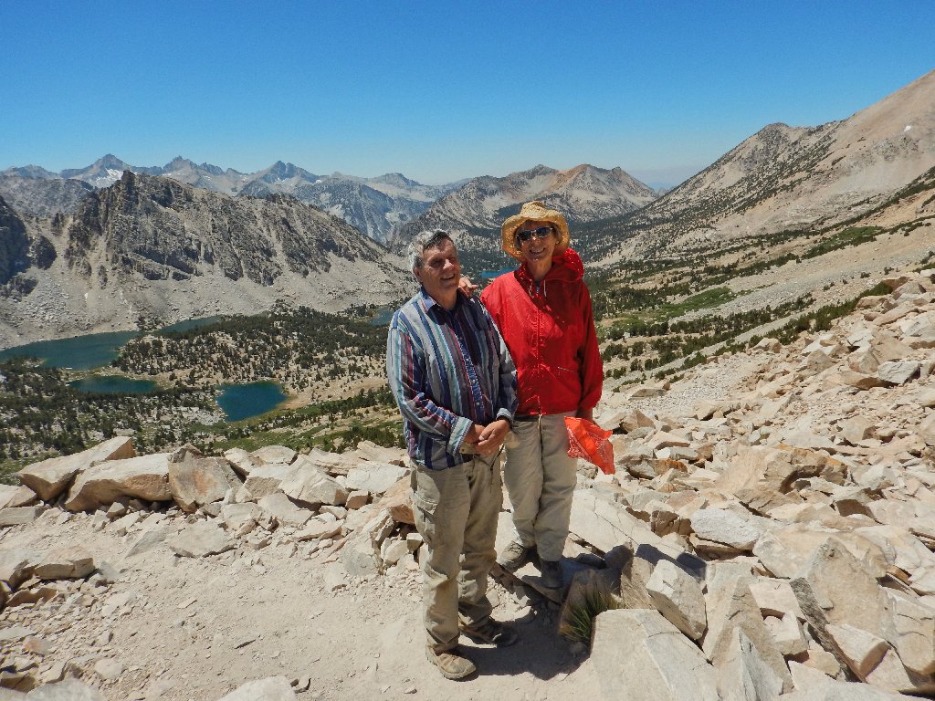
On top of the world
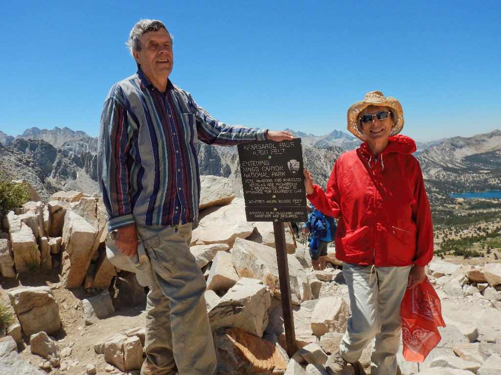
The Alabama Hills were named after a Civil War vessel, the CSS Alabama. In reaction to that, to the east of here the Kearsarge Mine was named after the USS Kearsarge after it destroyed the Alabama. This pass was named after that mine. The first known crossing of the pass was in 1864.
Sharon looks beautiful as always, while my right eye looks damaged
Although not a bit hungry, I feel compelled to wolf down the turkey wrap prepared for this occasion. When I have finished eating, the two of us have the summit to ourselves. Then it is time to head back after a final glance at the magnificent spectacle:
The advertised "view to die for"
Perhaps they should rename this one as Hexagon Lake
It so happens that Gary could have replenished his water supply without backtracking; for Big Pothole Lake was just a couple hundred yards from where he stopped. Had I remembered to pack the map for this hike that was two decades in the planning, we would have figured it out.
A final look back
Presently we meet up with Tattoo Lady, who is going to make it to the summit after all. Then a pretty young woman ranger approaches, all decked out in camping gear and sporting a real badge. We both wonder whether backcountry rangers also tote guns these days, but do not ask.
A remarkable 'finger' overlooks Big Pothole
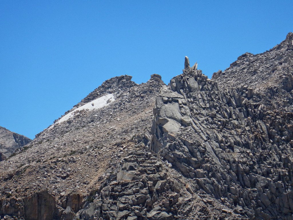
A closer view
Although I am walking more or less as fast as I can without risking a fall, Sharon is right behind me. Doubtless she could leave me in the dust if she wanted to. Having no planned detours, though, we might as well make some good time down the canyon.
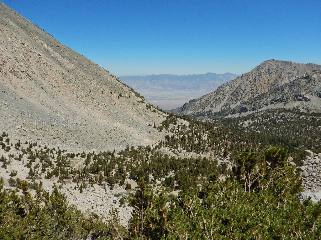
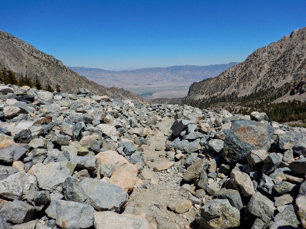
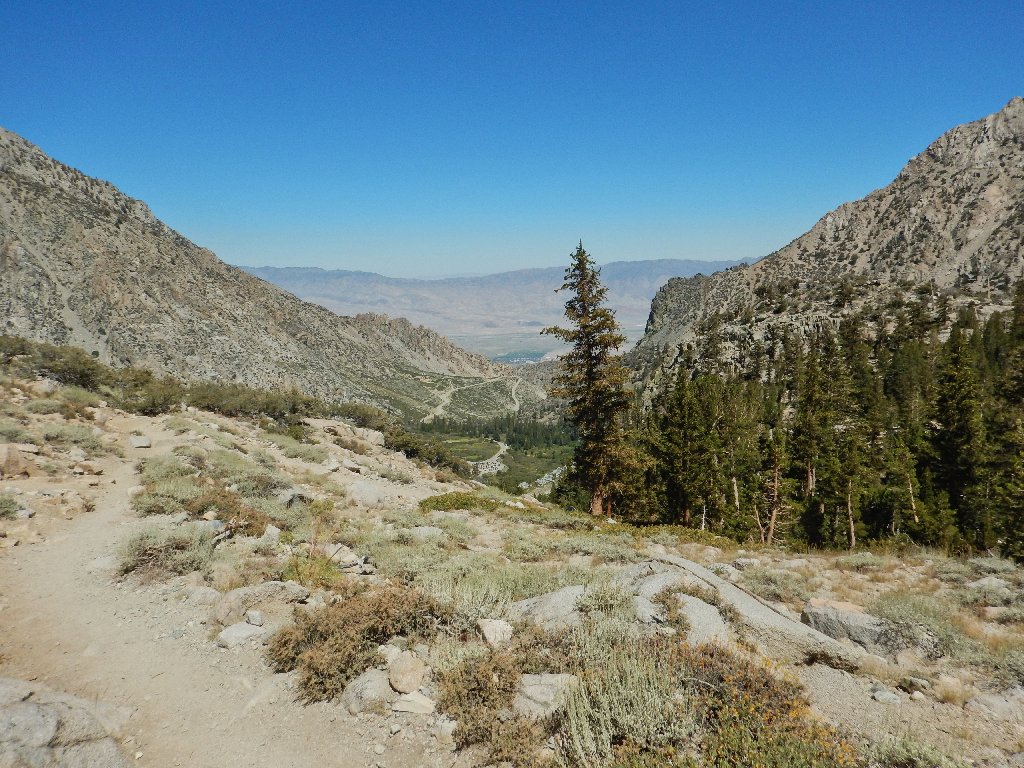
Owens Valley is 6,500 feet below
Amazing coloration
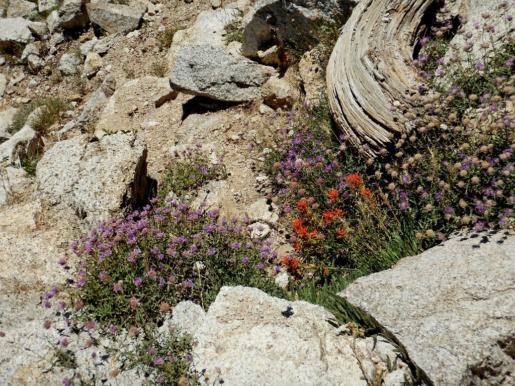
Pennyroyal and Paintbrush
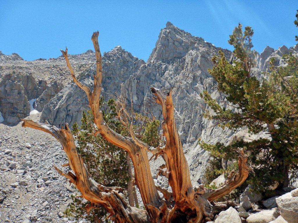
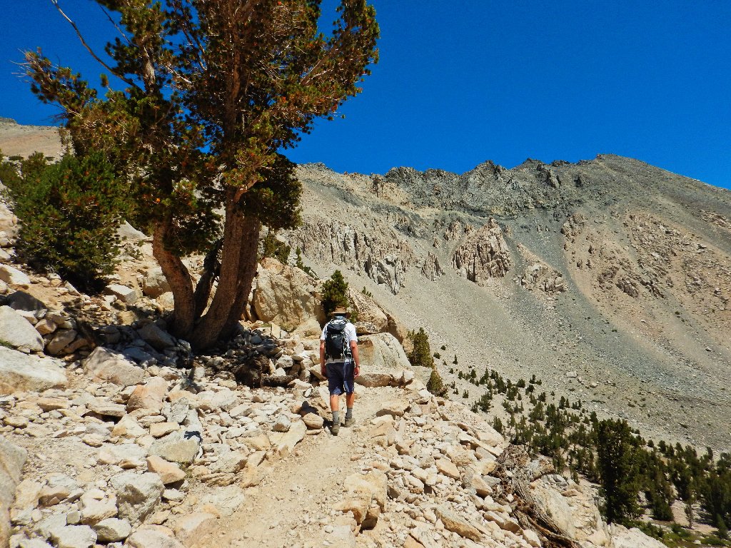
The bristlecone is back, and the lighting is great
My favorite photo of the day
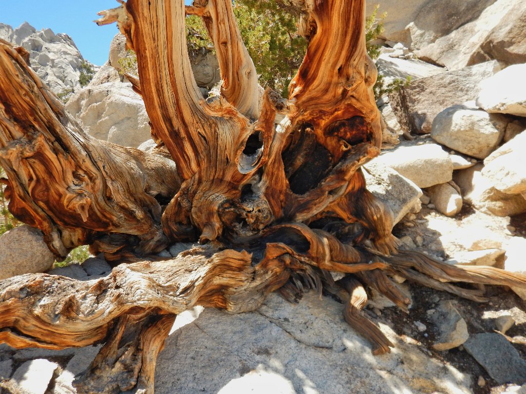
Is is no surprise that there are green needles on that tree, for it is employing the standard bristlecone tactic of dying back enough such that what remains alive is able to subsist on available resources. That strategy has enabled this species to become earth's oldest living things.
Last view of Heart Lake
If someone were not waiting for me at the trailhead, I would venture over for a better view and a better photo of the next attraction:
First and last view of Flower Lake
My water supply is depleted. At a convenient spot near the
Matlock Lake cutoff, it is time to break out my new Katadyn water filter,
which has been used but once previously. Weighing just over two
ounces, it is ultra-convenient in that regard.
Back at Gilbert Lake
Traversing the moraine
Matlock Lake is up there, and I want to visit it
Sharon and I pass by the hiker that I had encouraged to continue (successfully) to the pass. I wave to him, and he smiles and waves back.
The parking lot reappears
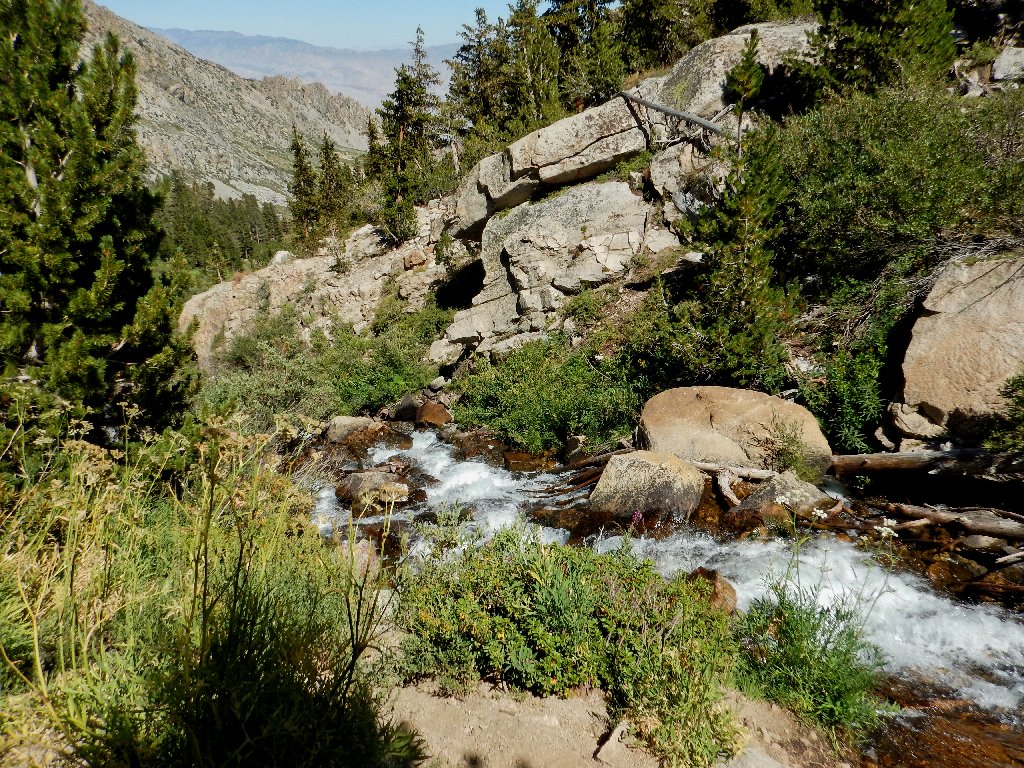
The creek views that were missed on the way up
A lone aged walker is coming up the trail with a long-handled
shovel in his hand, performing an occasional bit of trail maintenance.
We're lucky to have people like that.
I know it's silly, but...
Another hiker passes by, saying "Nice shirt". Yes, I had saved my special Liberty Shirt with the wolf and the flag for this hike; yet only now do I realize that I wasted it by not removing my boring outer shirt for the summit photographs.
Because Sharon and I have been walking so quickly, we finish the trek an hour ahead of Gary's projected arrival time.
650 feet to go
§: Wow! A well-maintained and relatively friendly trail,
exceptional scenery, and a diversity of natural features, combined with
great company and personal interaction with an amazing variety of characters,
provided the hoped-for memorable and uncommon experience.
Except for one thing: Gary didn't make it to the pass, and for that reason I cannot give this outing a top rating. Also, I should have taken some time for exploration on the return leg.
And by the way, I did not put those 'eyes' on that boulder.
| Scenery |  |
| Difficulty |  |
| Solitude |  |