
Yosemite National Park
|
Medlicott Lakes Yosemite National Park |
June 20, 2016
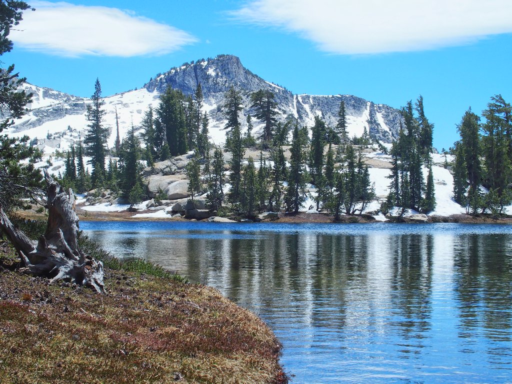
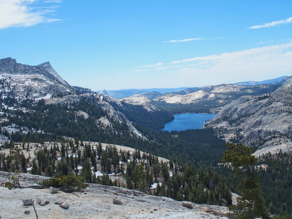
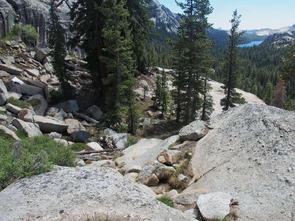
Having just completed a 3-mile cross-country venture down Tenaya Canyon, I drive another three miles or so north to the next trailhead. Along the way is a preview of some of the area that I am hoping to visit.
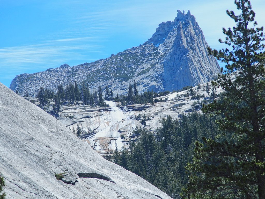
View from the highway near Tenaya Lake
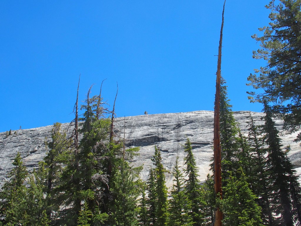
Medlicott Dome is popular with rock climbers, as it features a couple
dozen different routes. At the trailhead, however, is a sign
prohibiting the use of most such routes during the peregrine falcon
nesting season, which is now. Although I am confident that said
restriction does not apply to ground-dwellers such as I, it means
that there will be no opportunity to see or photograph any climbers in
action. Pshaw.
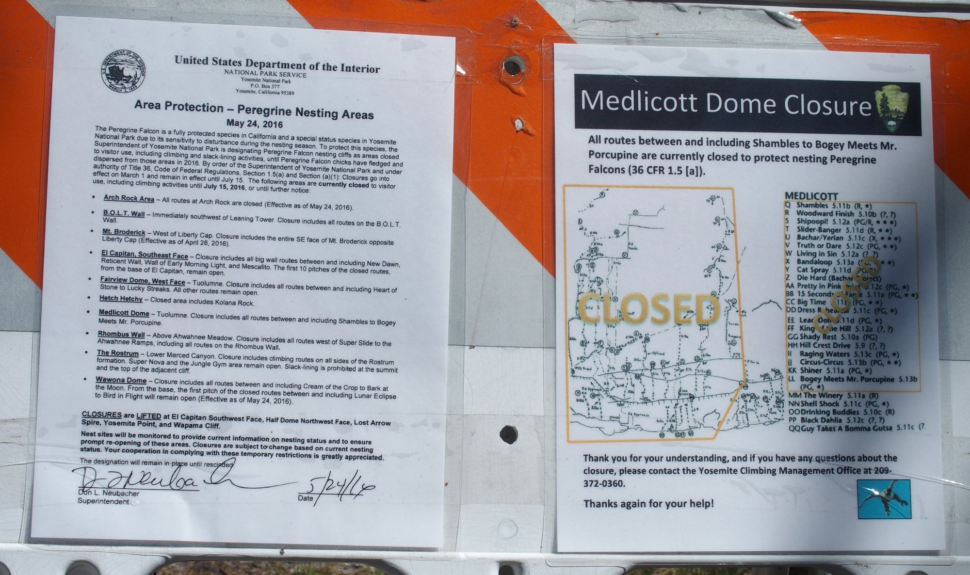
No rock-climbing today ⇔
Having read my journals regarding two prior visits to the Cathedral
Lakes Basin, astrophotographer Chuck Vaughn graciously clued me in to this
shortcut route, and he included a trail map prepared on Google Earth.
Apparently there is an established climbers' route up a cliff face to a
handy bench at the base of the dome, but it involves a tricky 'S-curve'
section that might be a problem to locate. I have the map with me
and some key coordinates relating to it. That should suffice.
A well-established trail leads me across a flat section, across a tiny creek, and up the hill. This unofficial route almost appears to be officially maintained; perhaps it is.
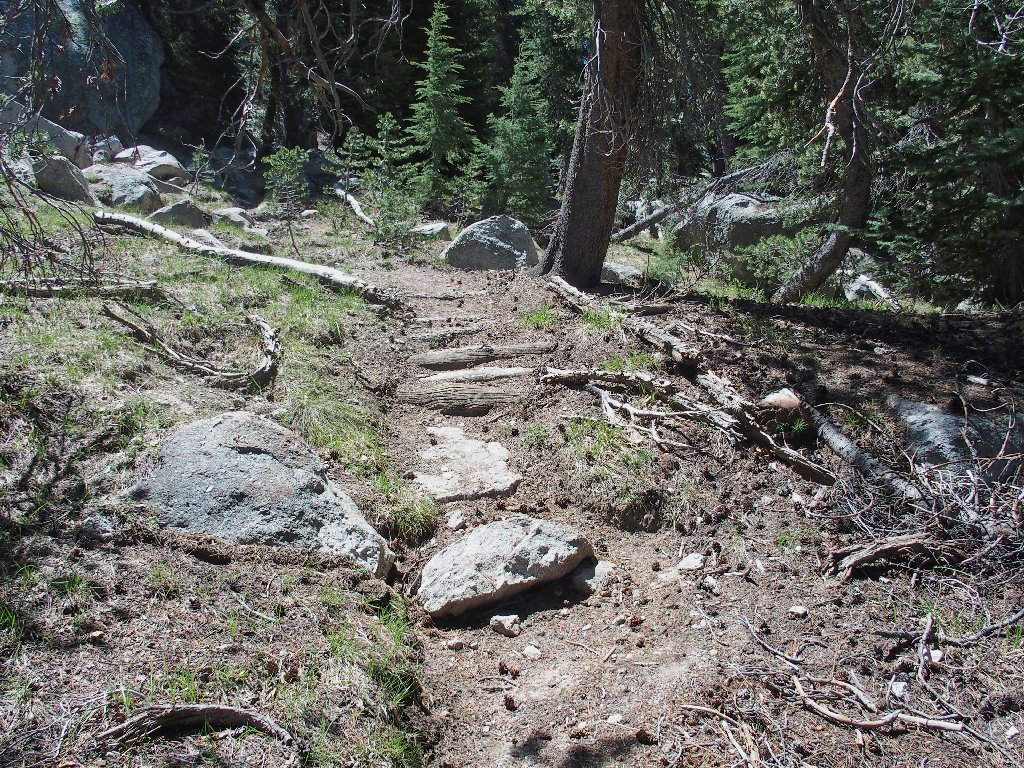
The trail is better than expected
The going is quite steep, which was expected. It seems more difficult than it should be, though. Although I scrambled around for three miles earlier this morning, nothing was particularly taxing. I must be off my feed a bit.
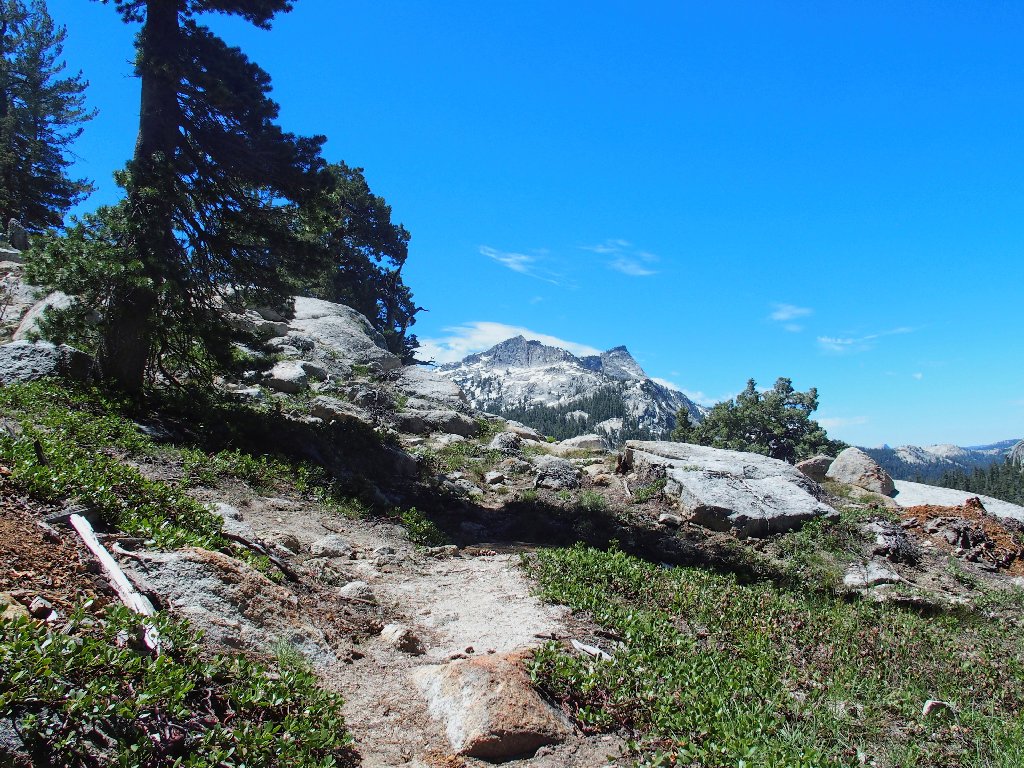
Tenaya Peak, 10306'
The crux of the mission is at hand. Recalling the map configuration
makes it easy to follow the S-curve pathway up through the rock to the
bench, which is rather more spacious than I had guessed from my own research
on Google Earth. So far, so good.
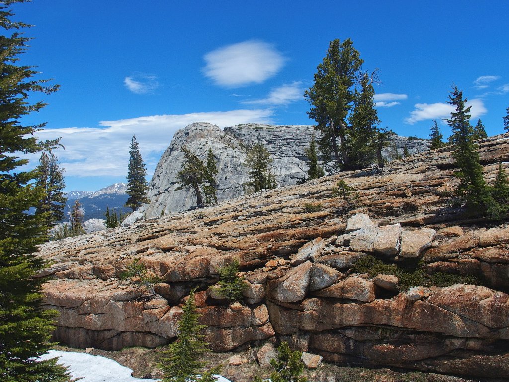
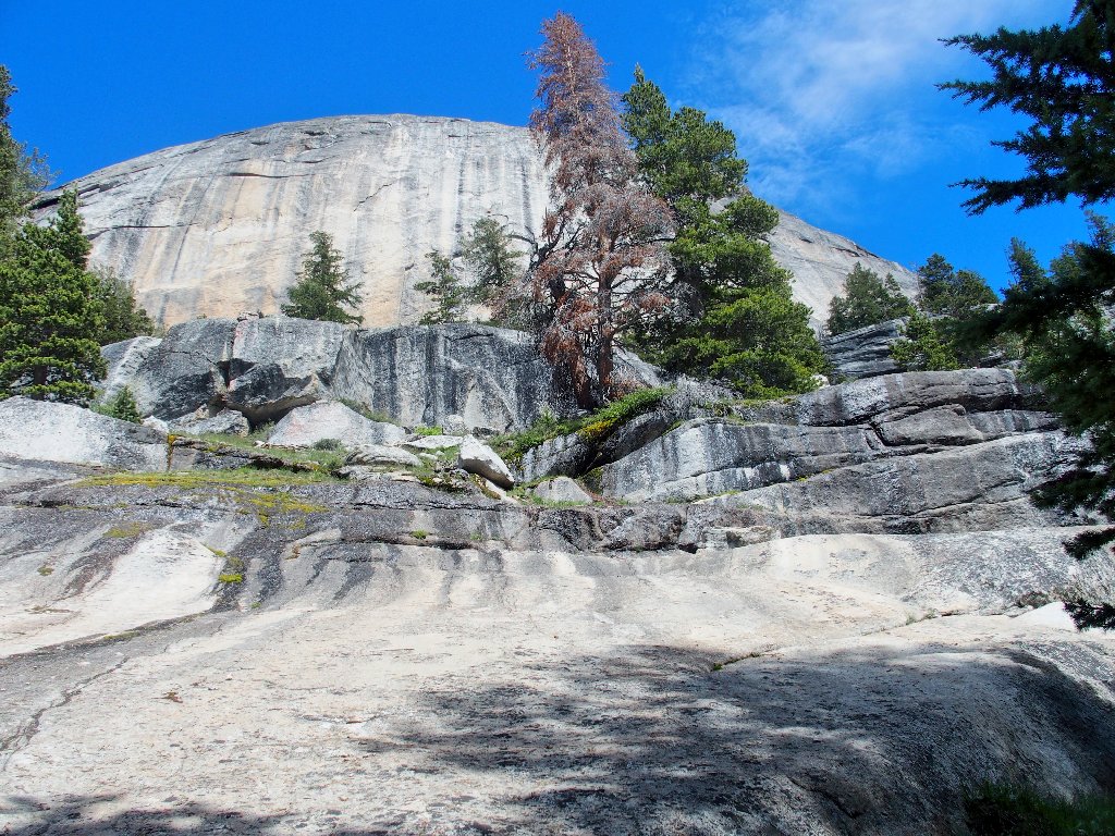
Go straight toward the white rock, then make a hard left
This is going to be easy
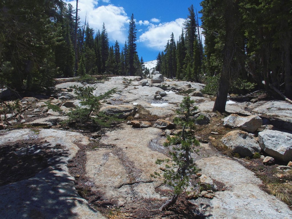
Much of the walking is on granite slabs, which is perfectly fine
The destination is up there somewhere
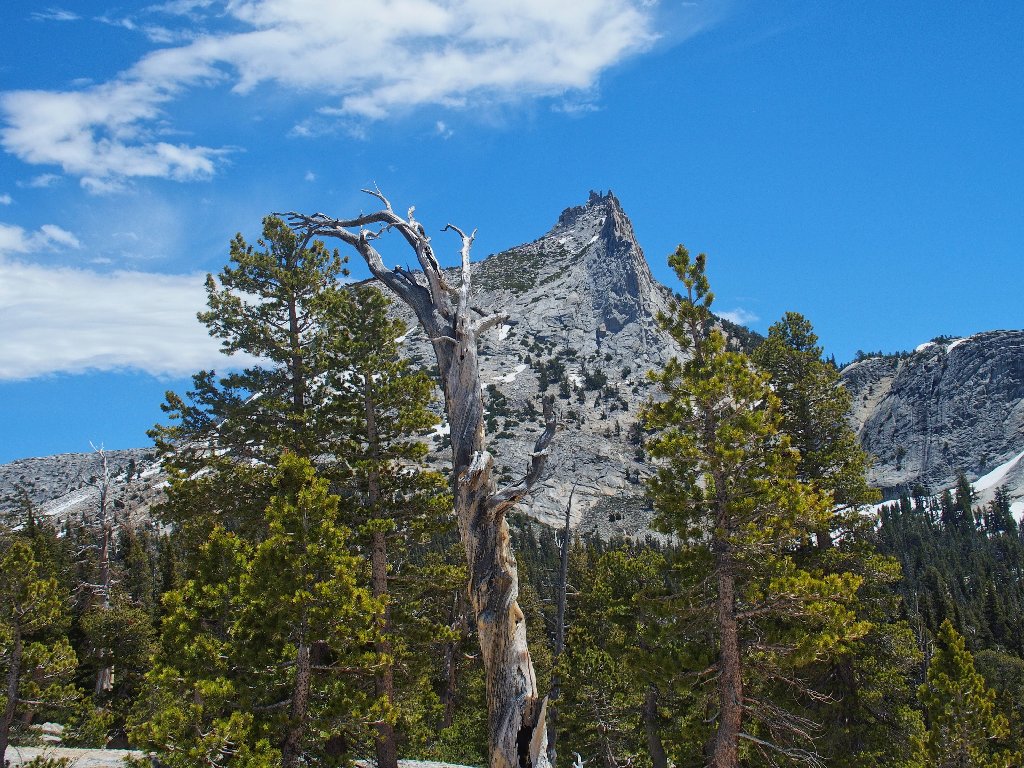
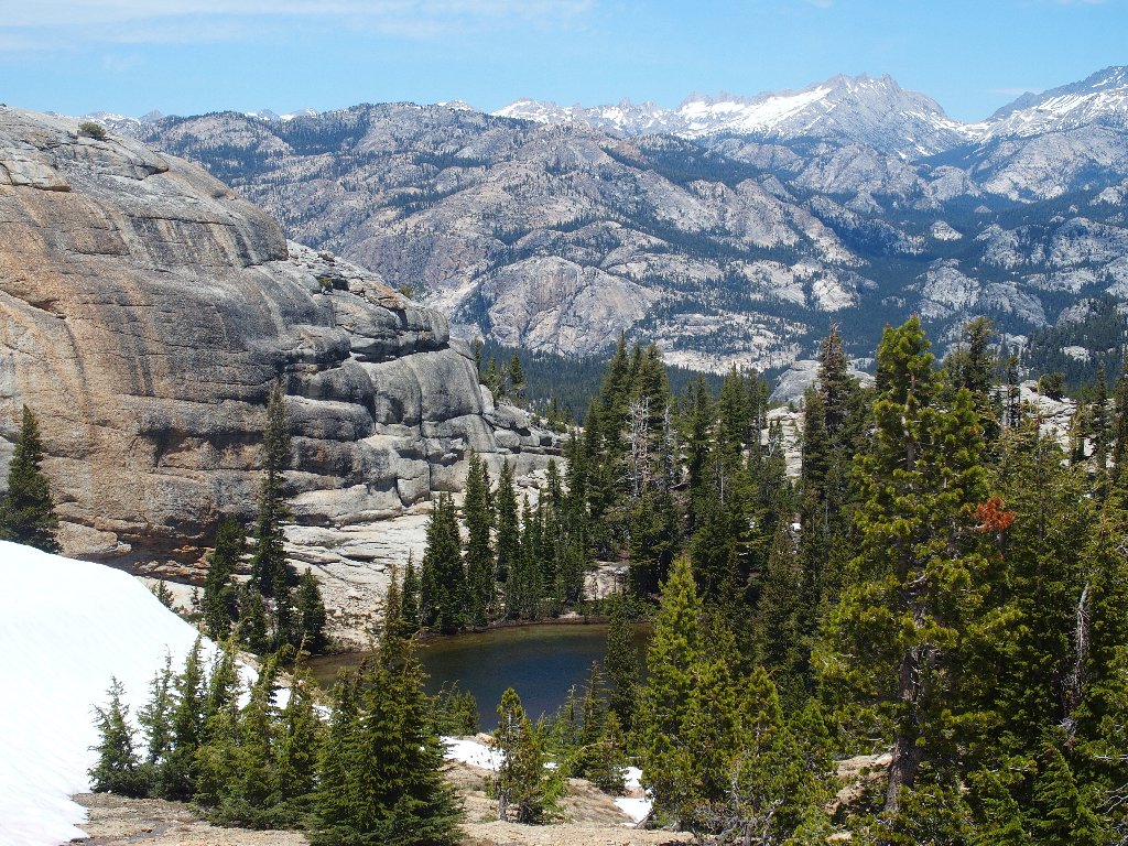
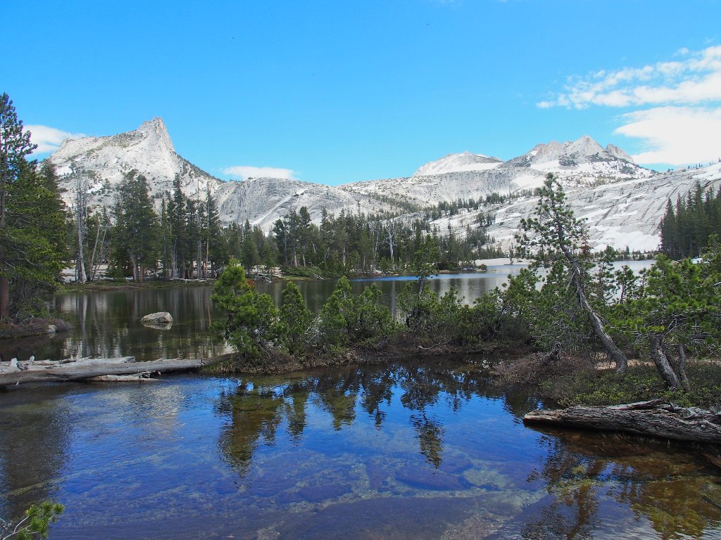
Cathedral Peak, 10912', my favorite mountain, is spectacular from any angle
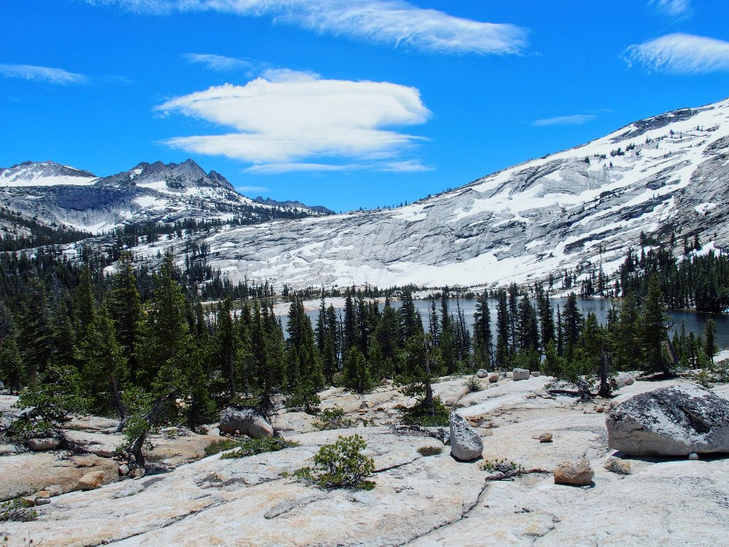
Echo Peaks and Lower Cathedral Lake
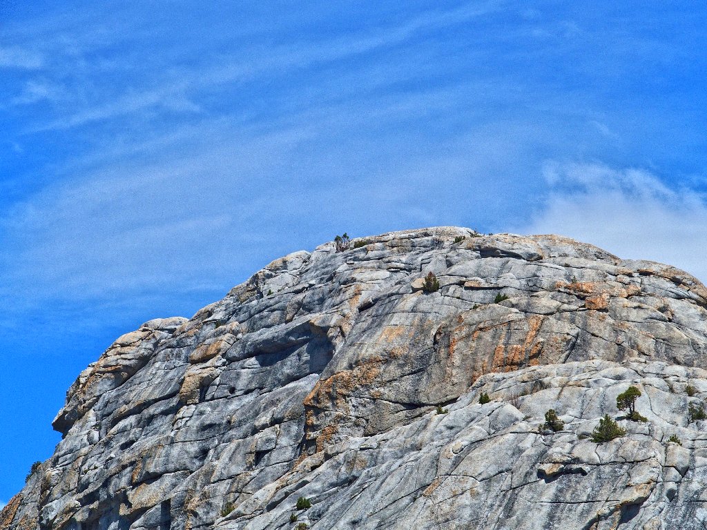
Upper Medlicott Dome, 9880'
Ascending the remaining few hundred vertical feet of slabs is easy enough, and traversing occasional snowbanks is an added treat.
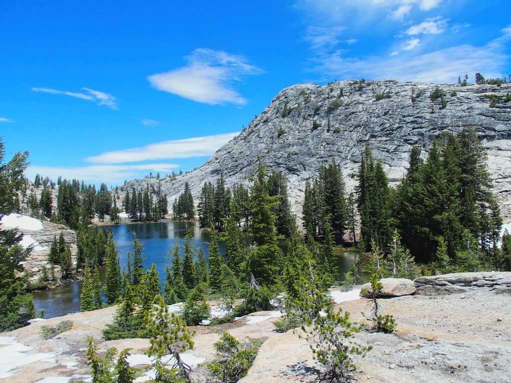
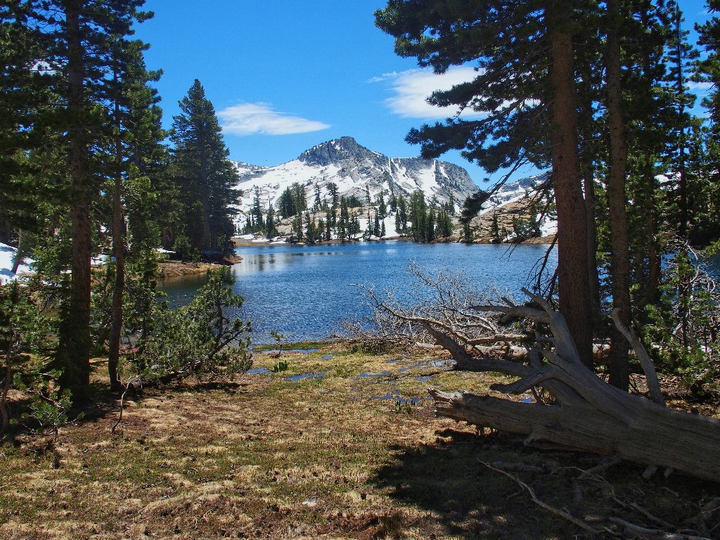
Medlicott Lake lies beside its namesake peak
Actually, according to my topographic map, this entire area including
the lake is all part of Medlicott Dome; I am differentiating these
places because the actual high-point of the dome is not on today's
itinerary. Also, the two lakes up here have no official names;
I'm just using ones suggested by others.
Beautiful
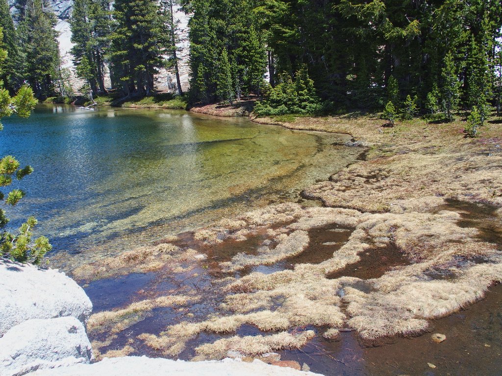
My original plan was to traverse the left-hand shore of the lake on the
assumption of better photo-ops, but the outlet creek is covered by a
big snow bridge. No good. Midway up the right-hand side,
however, is a good-feeling spot with some pretty flowers and grass
growing right down to the edge of the water. I love that.
A good opportunity to refill water bottles
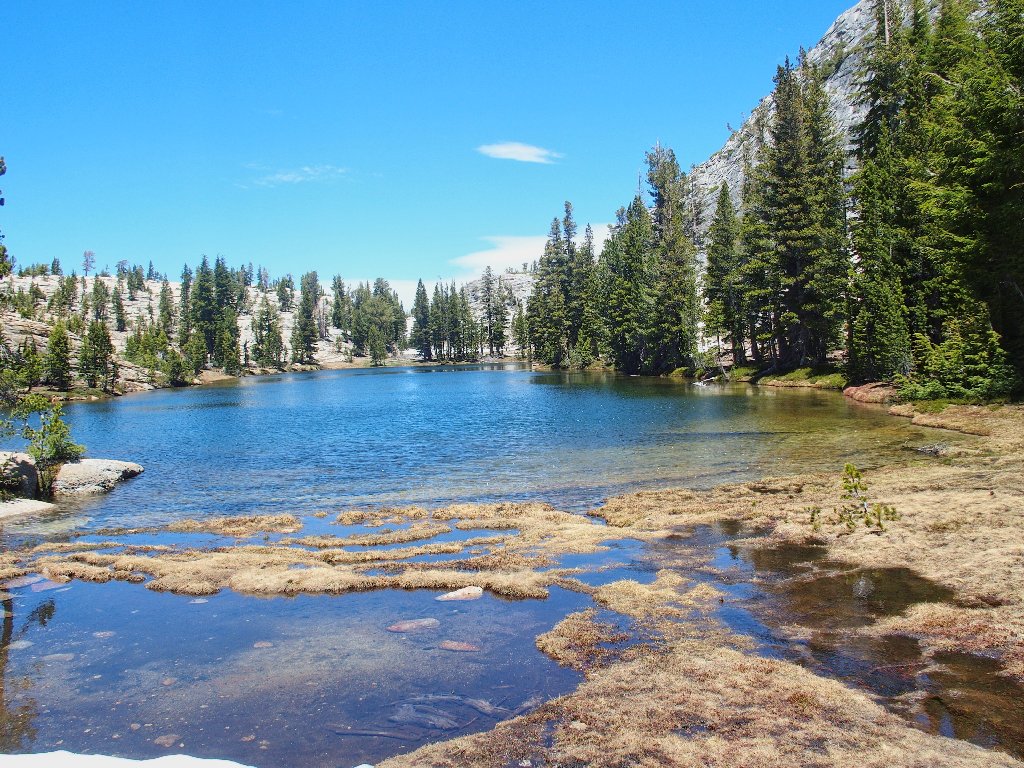
This would be a great lunch spot; but I'm not ready to stop yet,
before the half-way point of the trek.
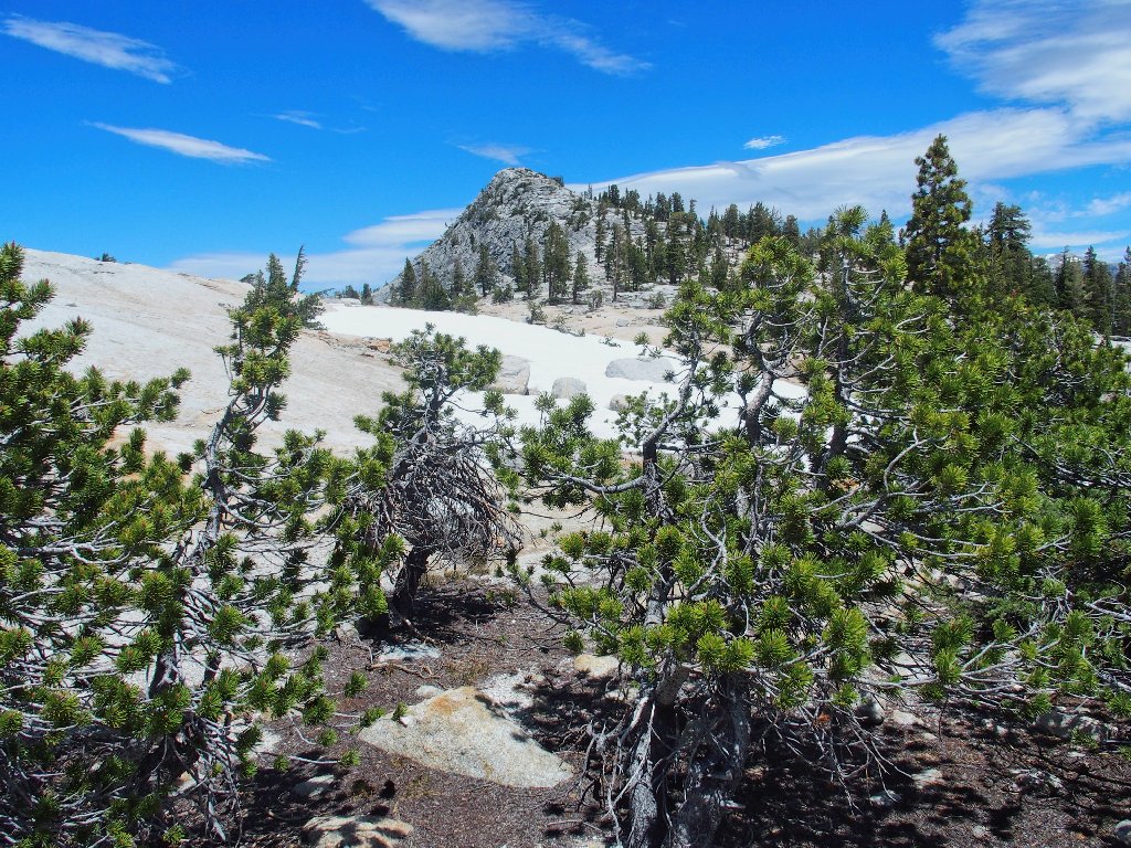
Mariuolumne Dome, 9970', is the area's highest
As I reach an interim high-point and cross into Tuolumne County, I spot the anticipated second lake some two hundred feet below:
Lake of the Domes
I am just weary enough to terminate my forward progress here, knowing
that I will regret it later. I really don't understand why I seem so
energy-deficient right now. Yes, I started the day more than
9,000 feet lower; but I do that all the time. And I haven't climbed
a great distance either.
Nobody is on top of Mariuolumne Dome at the moment
I climbed that dome three years ago, in late October in 70-degree
weather (Hike #224). That's when I first
saw these two lakes and resolved to return for a closer inspection.
Heading back to Medlicott Lake
I am back at that nice watering hole for a snack break, although I don't feel a bit hungry.
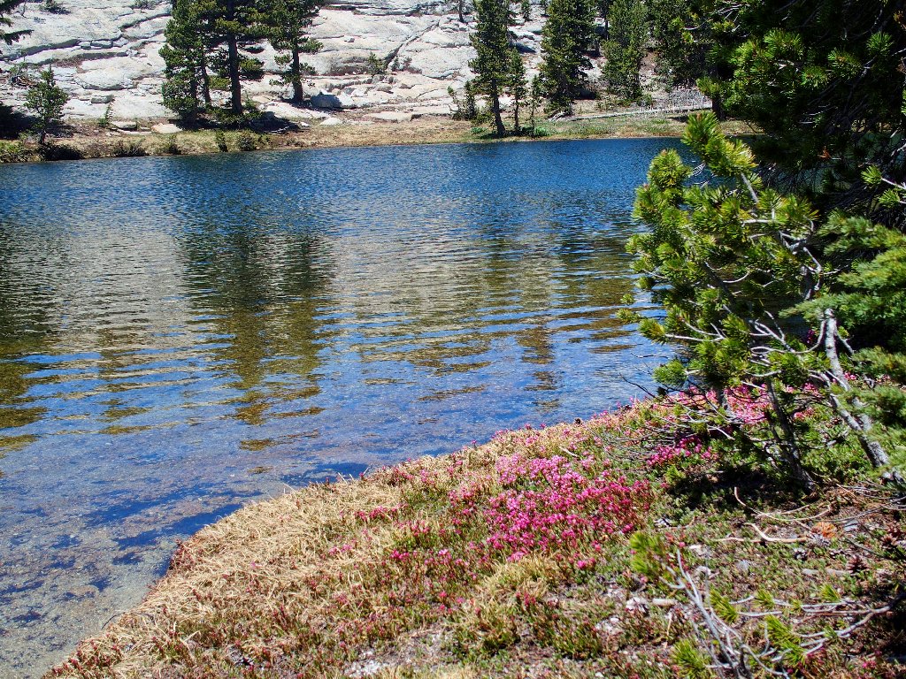
The unnamed rampart looks great in the snow
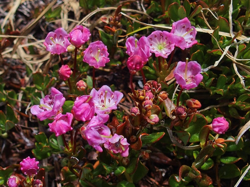
The Mountain Laurel are exquisite
Of my nine cameras, this Olympus Stylus-1 seems best for close-ups;
that's why I take it hiking. Not so good was the battery compartment
door that got bent out of shape when it popped open in my pack last week,
and had to be replaced by some duct tape.
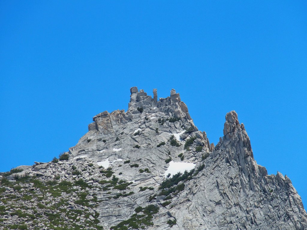
No climbers are on Cathedral Peak or Eichorn Pinnacle today
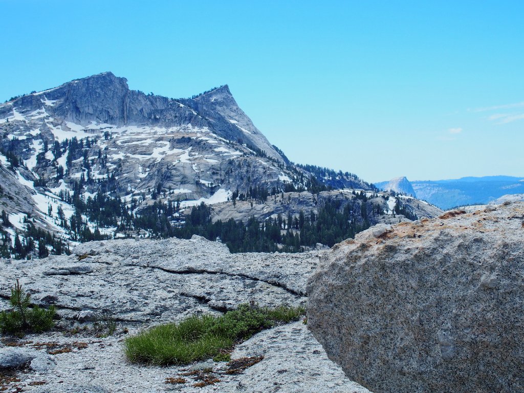
That's Half Dome, down and to the right
An expanded view includes Tenaya Lake
Although it is well out of the way, I would like to take a look at the spectacular cascade that drains this basin; so I head down to the lake shore.
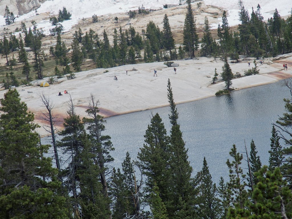
Lots of hikers are on the 'beach', having come up the John Muir Trail
Lower Cathedral Lake from its outlet
The creek soon disappears
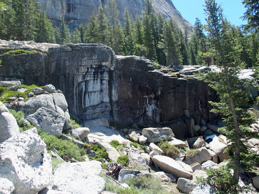
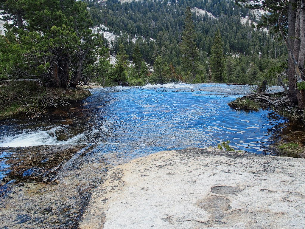
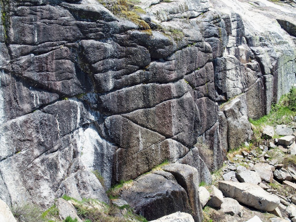
I must scramble down a hundred feet or so for a peek at the cascade.
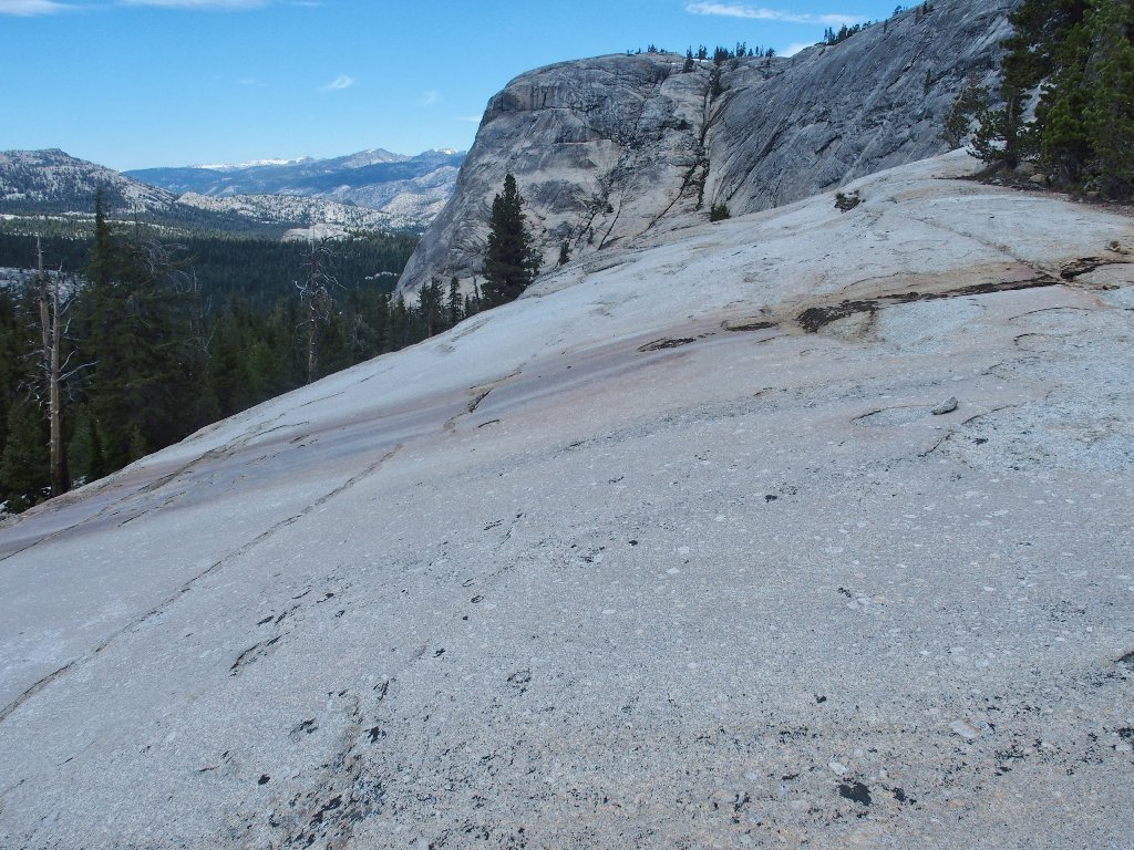
This water-polished granite is deceptively slippery
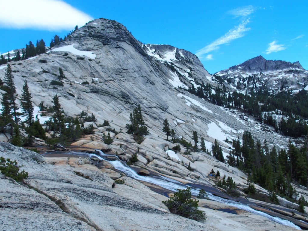
A portion of the falls that were viewed earlier from the highway
I clambered up the other side of that cascade four years ago on my way to Columbia Finger (Hike #182). Luckily for me, there was no water in the creek at that time.
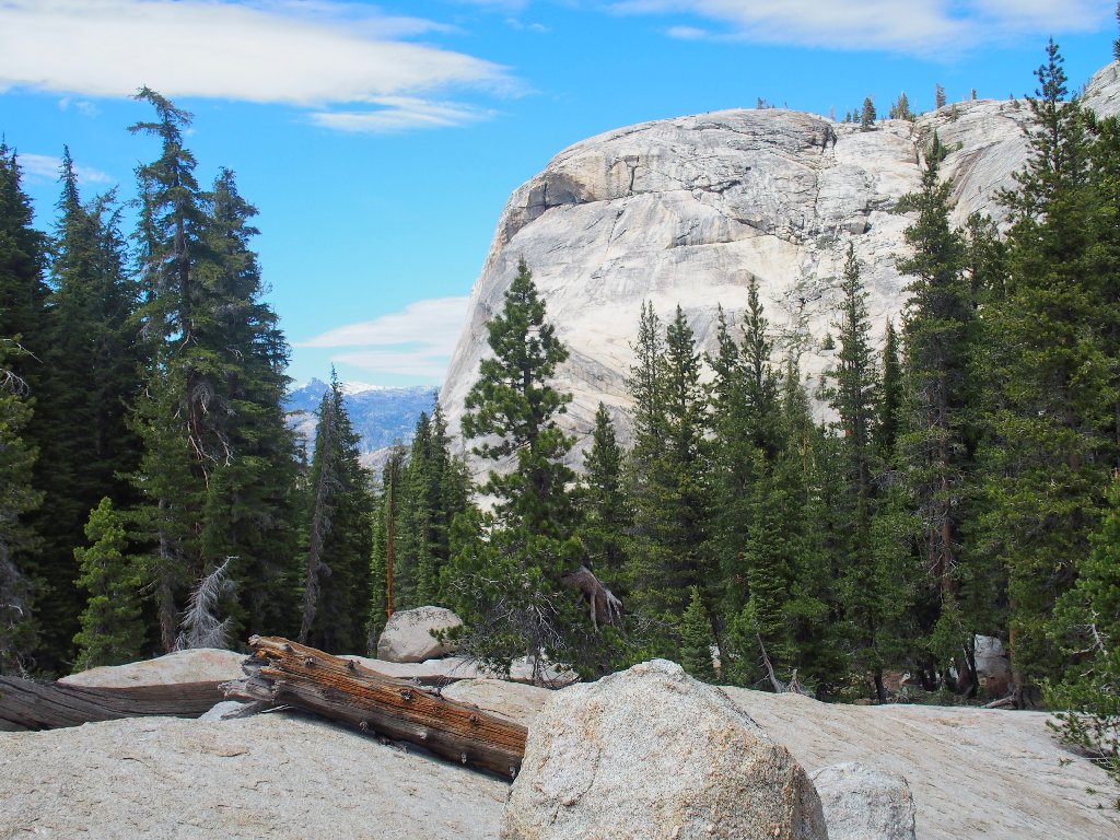
Lower Medlicott Dome
Now I must veer back toward the edge of the dome if I am to find a safe
way out of here. My downhill traverse becomes a bushwhack, because
the use trail never elects to re-appear. I must not be close
enough to the cliff.
Nice clouds
Chuck had warned me that I might not spot the top of the 'S-curve' on the return; and surely enough, I pass right by it. After consulting both my notes and the GPS, I head back a hundred yards and find it.
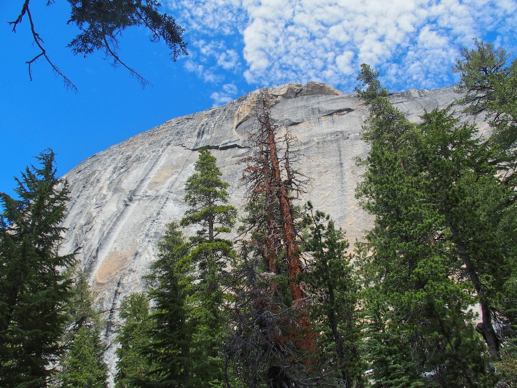
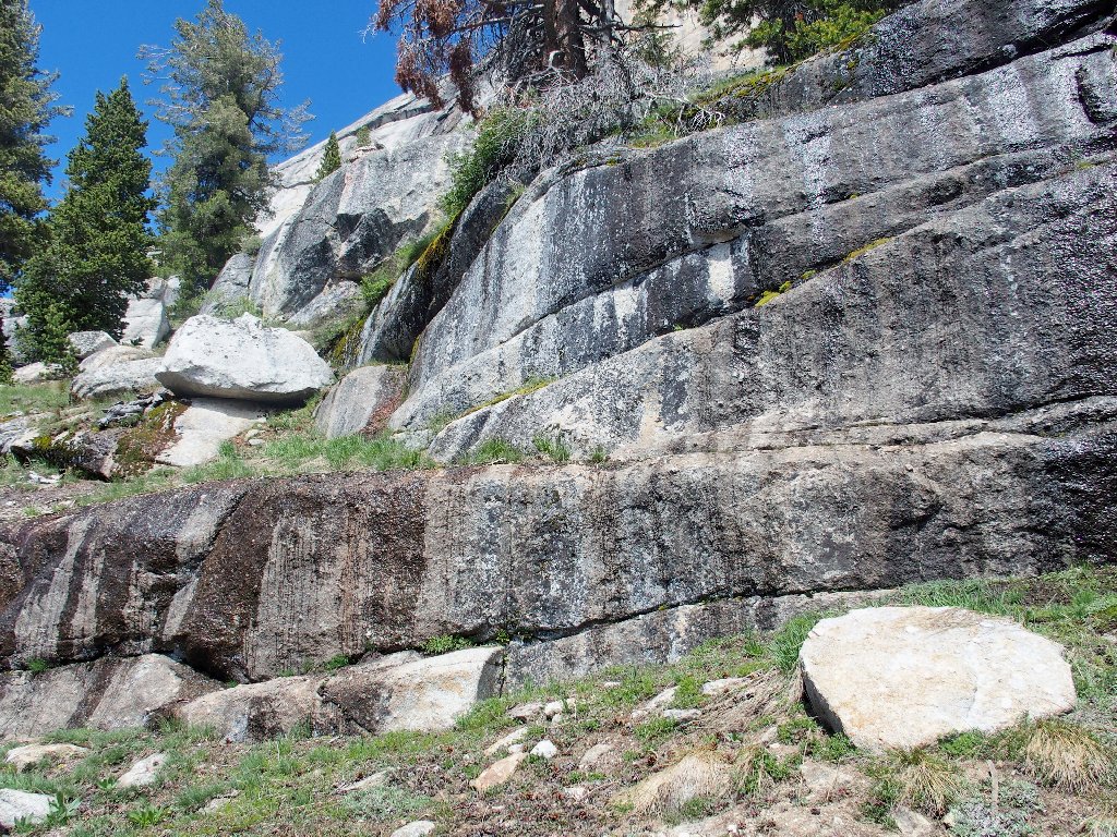
This looks like the samd cliff face...
...but I don't recognize this part at all
Now I seem to be having trouble finding the second curve in the
pattern. It is clear that I have indeed missed it when I run
into a drop-off with no way around it. It does appear,
however, that I can get down this way with a modicum of effort,
which would eliminate the need to hunt further.
Dropping both my walking stick and my pack onto the ground below, I gently lower myself down the ledge. It proves unnecessary to do any actual jumping at all, which is a good thing at my age.
Getting off the cliff is just a 5-foot drop
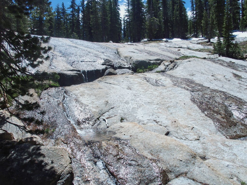
Below the dropoff is another one of those steep, smooth slabs.
Having brought the wrong boots on this trip, my footwear is untrustworthy
on slippery or wet rock; so I opt to slide down much of this surface on
my rear. That's better than incurring any risk of another
foot-slippage of the same type that broke my wrist two years ago.
The slippery slope is steeper than it looks
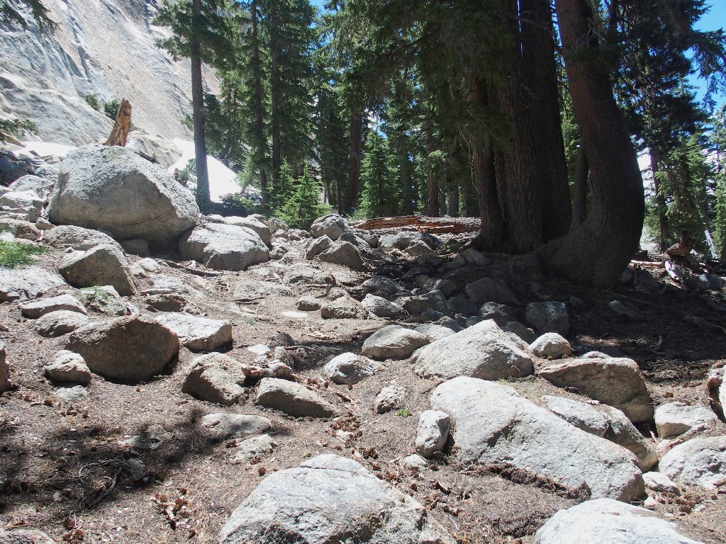
Once off the slab, I simply bushwhack in a straight line toward the
parking lot as per my Garmin's directions. A quarter of a mile from
the end, I am re-united with the use trail. My loop is complete.

§: Well, this was another typical Ted-Hike — beauty,
excitement, adventure, and some avoidable hardship. I do wish
that I had not wimped-out at the top, though; for I missed some
good photo-ops by not continuing down to Lake of the Domes.
It turns out that I might well have ingested some sort of intestinal
bug at a party the day before, because I wasn't the only one who
suffered after that event.
Including my morning venture over to view the Tenaya Creek Waterslide, I hiked fully eight miles today without encountering another soul on the trail, which is easily my Yosemite record. Of course, the fact that there largely was no trail had much to do with it. This was a really fine day!
Would I recommend this route? You bet! The distance to the
east side of Lower Cathedral Lake is just 1½ miles as compared to
3½ miles on the John Muir Trail, with about 200 feet less climbing
to boot. On top of that, this route is exciting and uncommon;
whereas the requisite stretch of the JMT is, as previously stated, dull
and boring. Give this one a try, but have your maps and waypoints
in order. I didn't.
| Scenery |  |
| Difficulty |  |
| Flowers | |
| Adventure | |
| Solitude |  |
Here is Chuck's map, which should prove useful to you

ADDENDUM
Writing down mapping coordinates on a piece of paper is well and good; but one must later coordinate them with current GPS and compass readings, and make adjustments accordingly. It would have been a lot easier simply to have created GPS waypoints of those data; then the instrument could simply have pointed me in the right direction.
Of course, I could have done that even at the eleventh hour, and might have needed to had I not serendipitously found another way off the cliff. But then, that would have made the trek too easy, and I wouldn't have had as much to write about.
