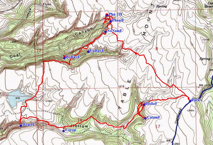
Ecological Reserve
|
North Table Mountain Ecological Reserve |
April 6, 2014
Having left home fairly early, I have chosen to access Cherokee Road from
its northern terminus at SR-70, the Feather River Highway. A few
miles up the road lies an opportunity to visit a little community that I have
not seen for several decades.
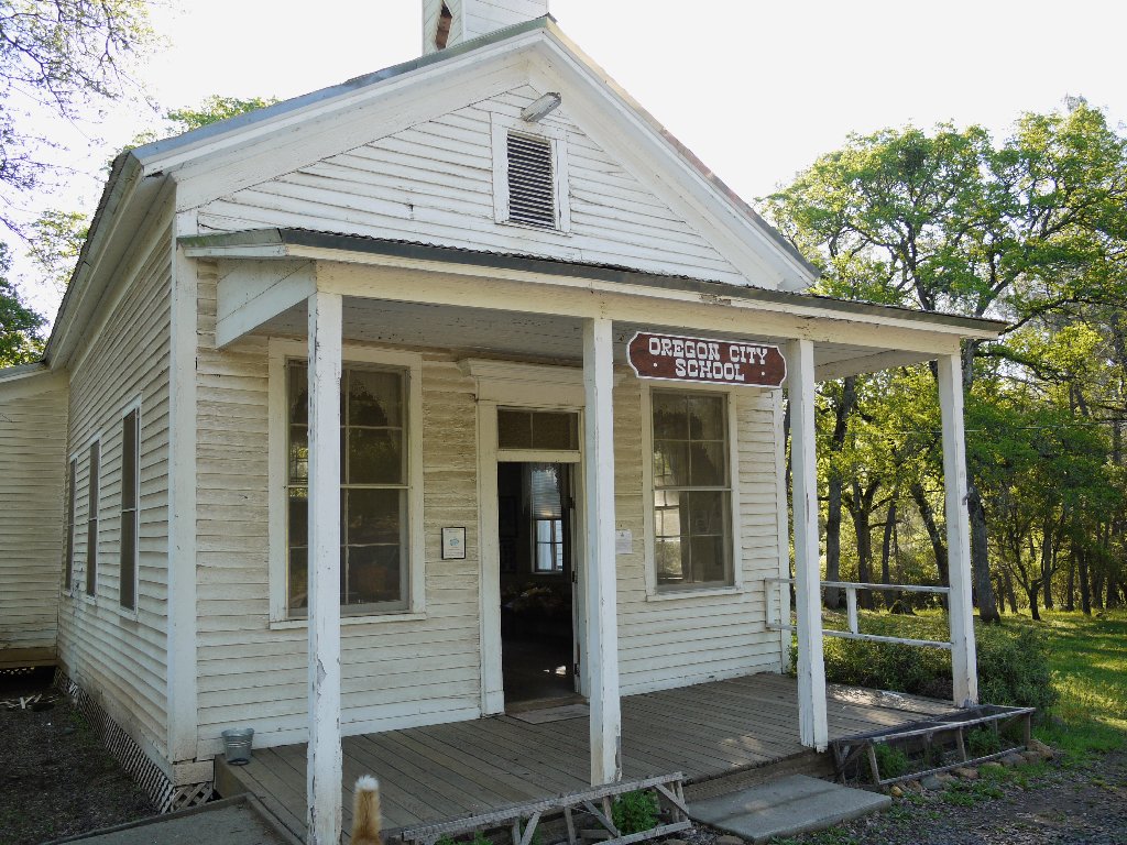
Oregon City was one of first mining camps in the area about 160 years ago; now it is little more than a California Historical Landmark. As I approach the old school, a man opens the door and asks whether I would like to come in. In fact, I would be delighted.
Oregon City Church & Meeting Hall

The caretaker's uninvited ward
It seems that the cat showed up here injured. Although the man doesn't much like cats, he repaired this one's detached eyeball and cared for it; and now he's stuck with her.
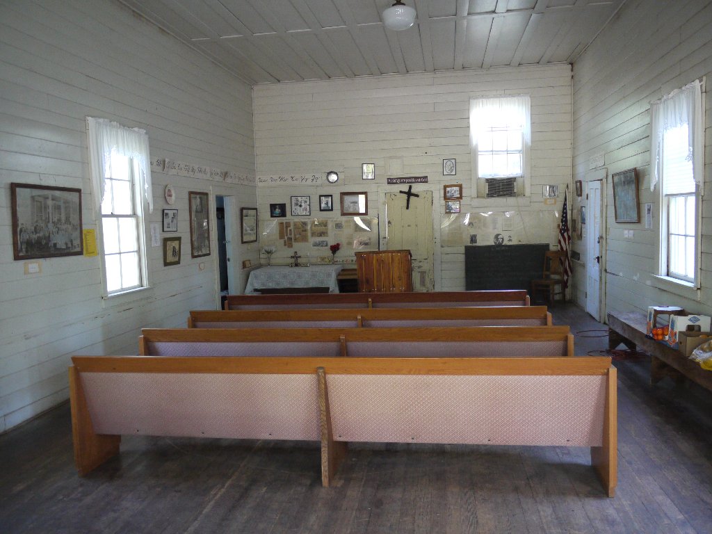
A prayer service is imminent
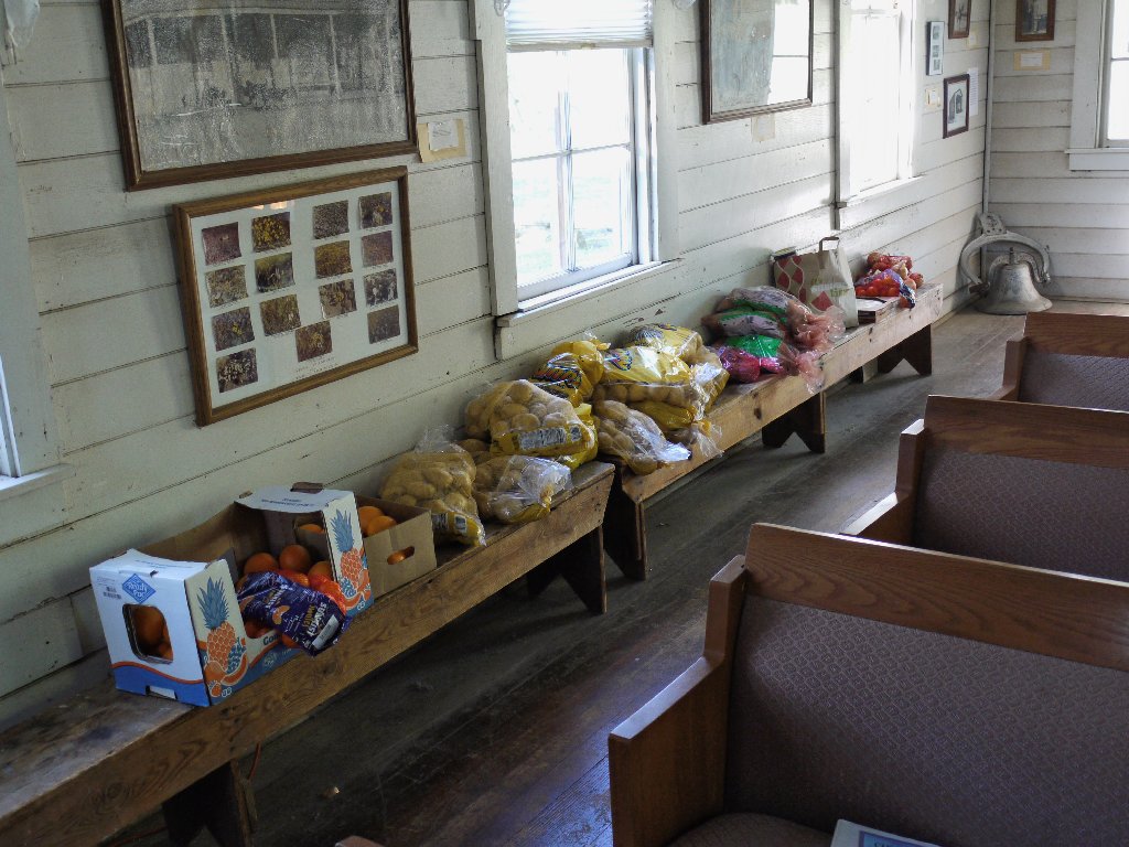
Leave what you can, take what you need
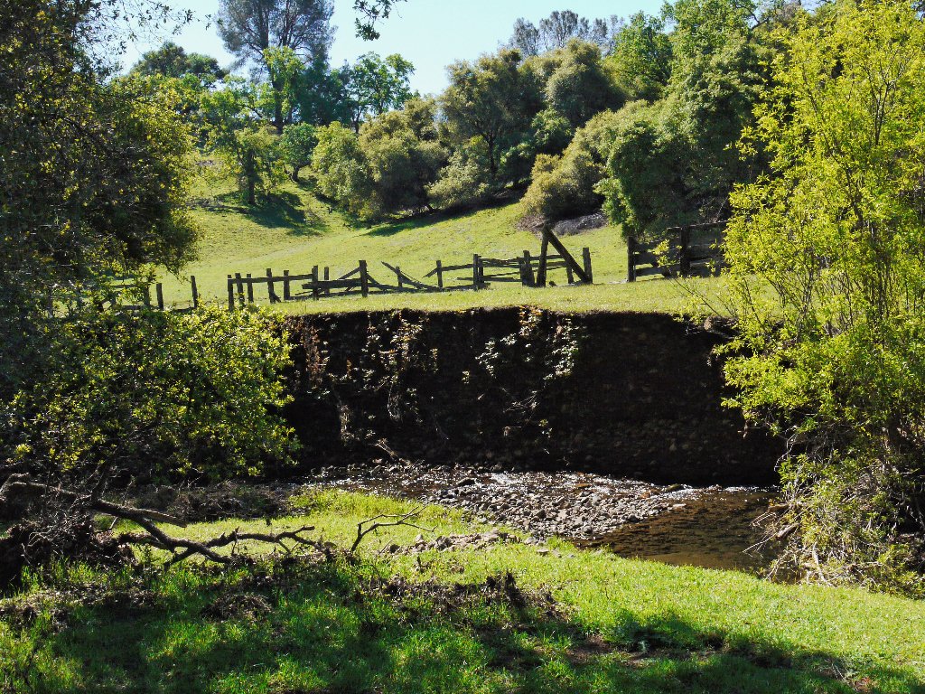
The original bridge here was washed out by a flood in 1853. Clay Castleberry took the trouble to rebuild it in 1983.
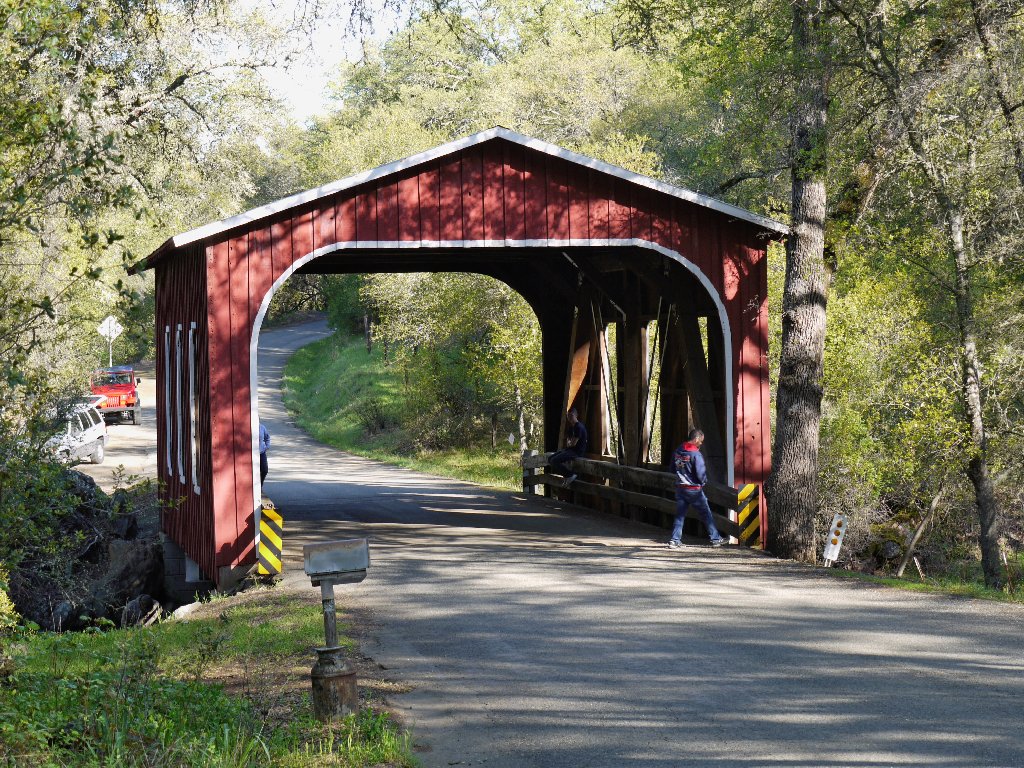
Oregon City Covered Bridge — a.k.a. Castleberry Bridge

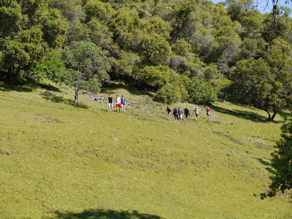
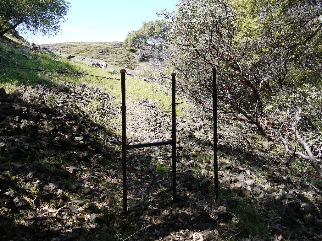
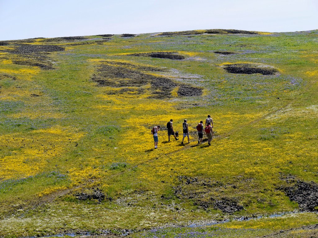
Arriving at the trailhead at about 9:30, somehow I am able to park directly in front of the trail access gate amid twenty other vehicles. A party of seventeen is gearing up next to me, and I can see another large group in the distance.
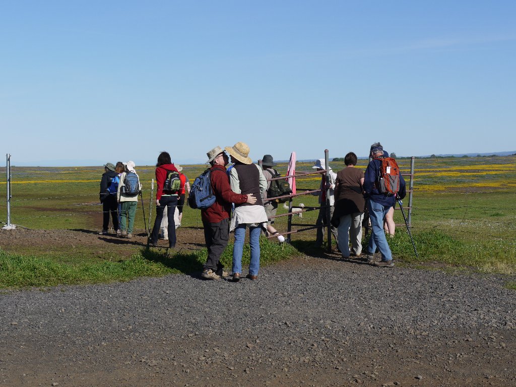
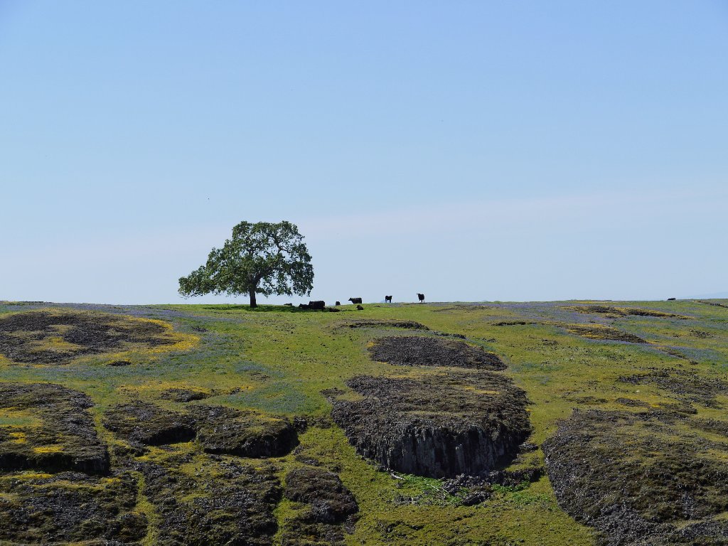
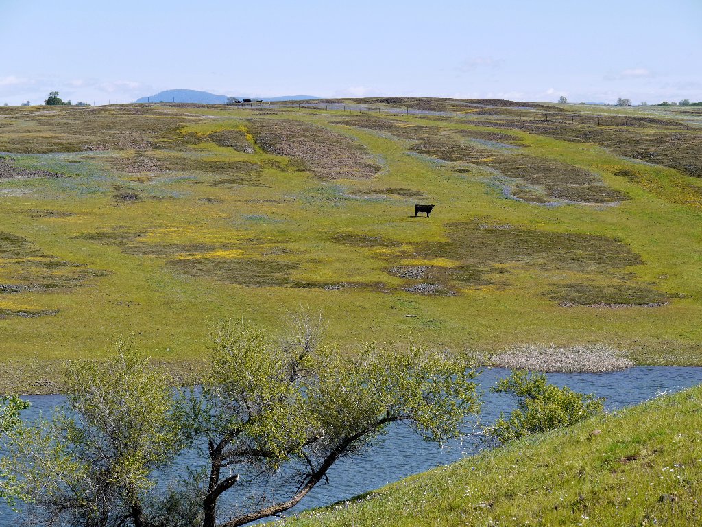
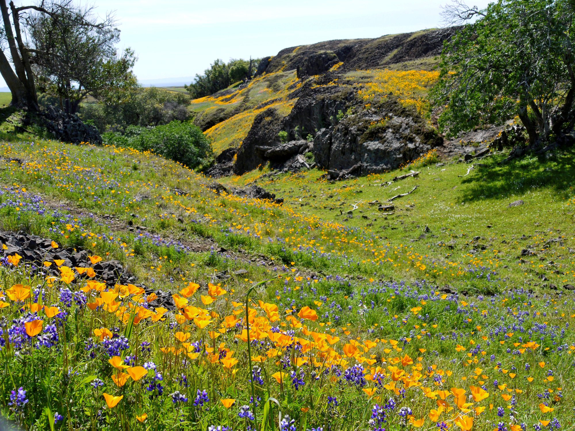
This view here is rather uninspiring, because all that can be seen is a big pasture
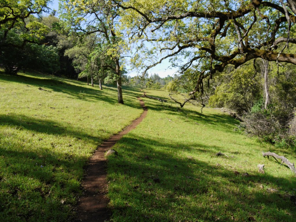
This trailhead is somewhat unique in that there is no official route or trail. One is free to head off in any direction at all because the going is so easy.
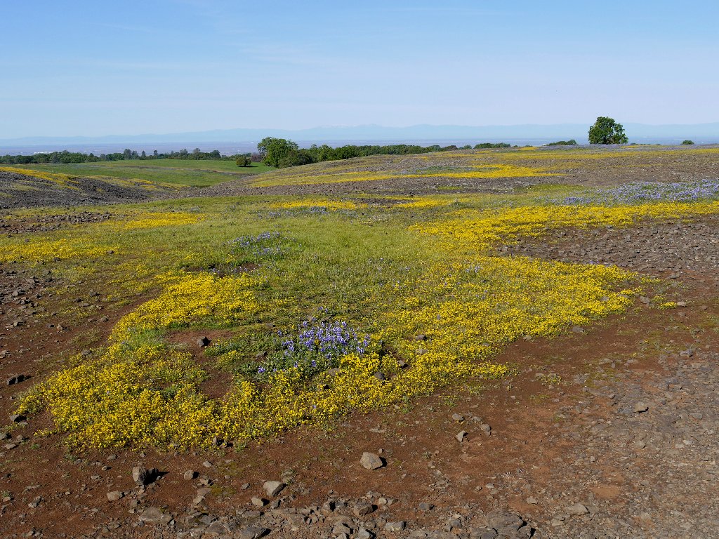
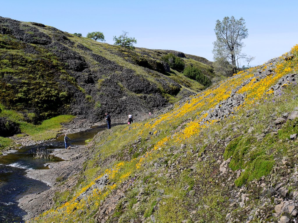
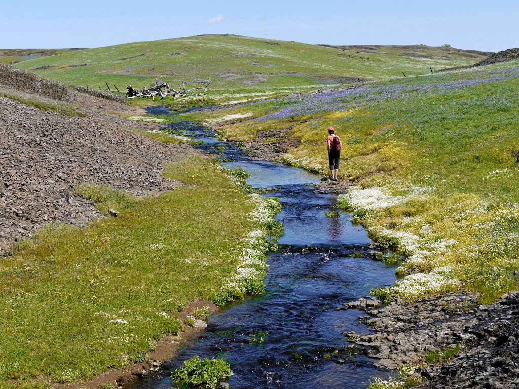
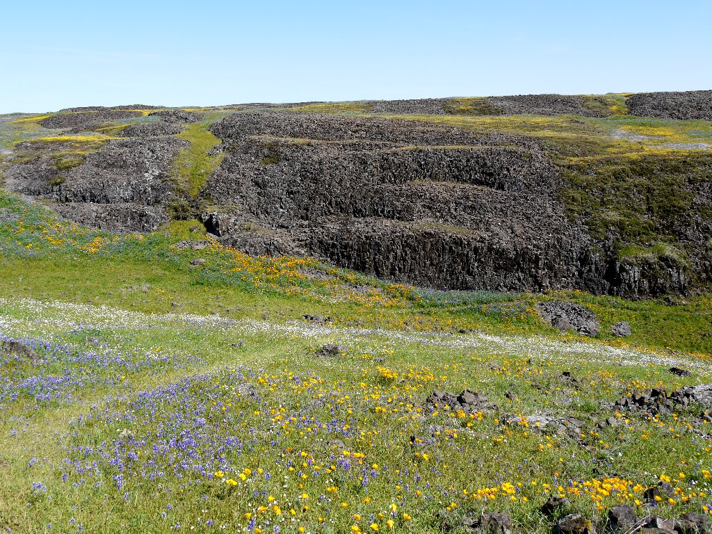
Only a few minutes of walking are needed in order to appreciate that this is a
different sort of place. Water formerly trapped in fissures in the basaltic
lava flows from several springs, forming a number of small creeks which dry up soon;
meanwhile, there is water enough to support countless patches of yellow stickyseed
interspersed with clumps of dwarf lupine. Management also keeps a few hundred
cows around to assist the native plant population by reducing thatch and consuming
non-native grasses.
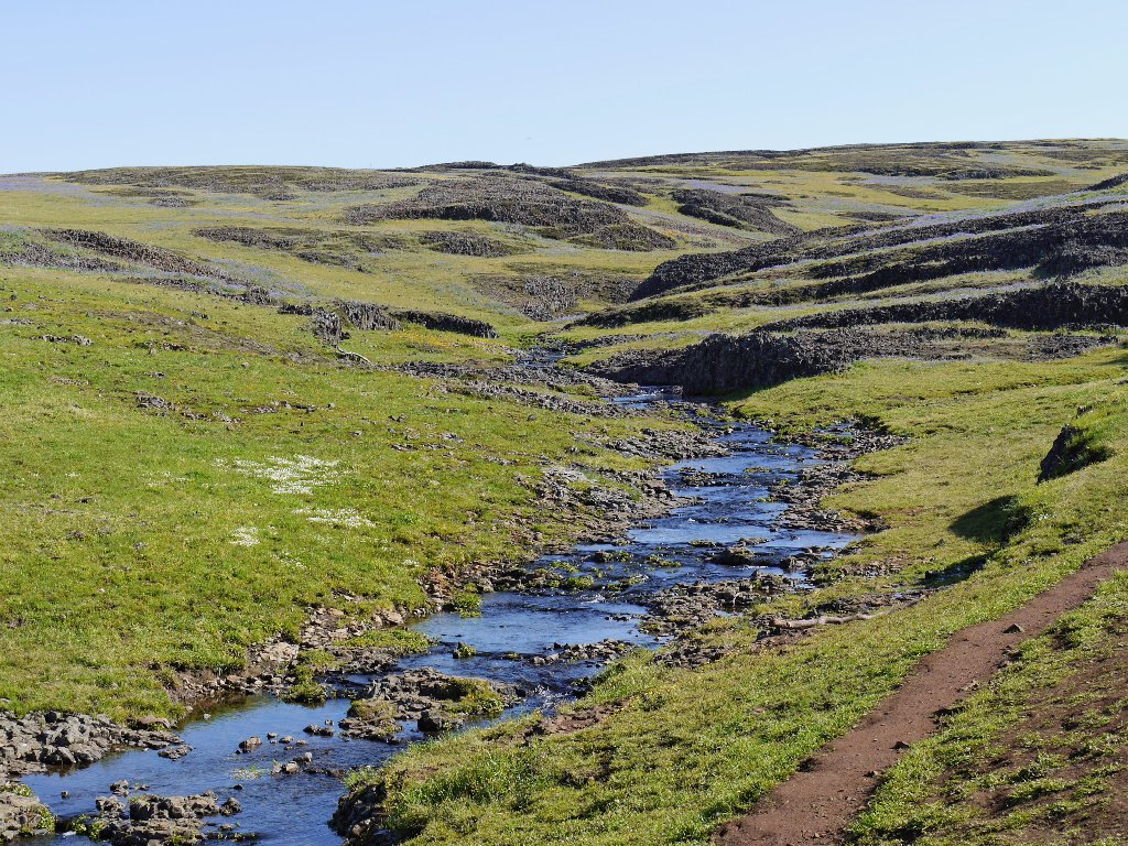
The creeks are comprised of spring water and cow piss
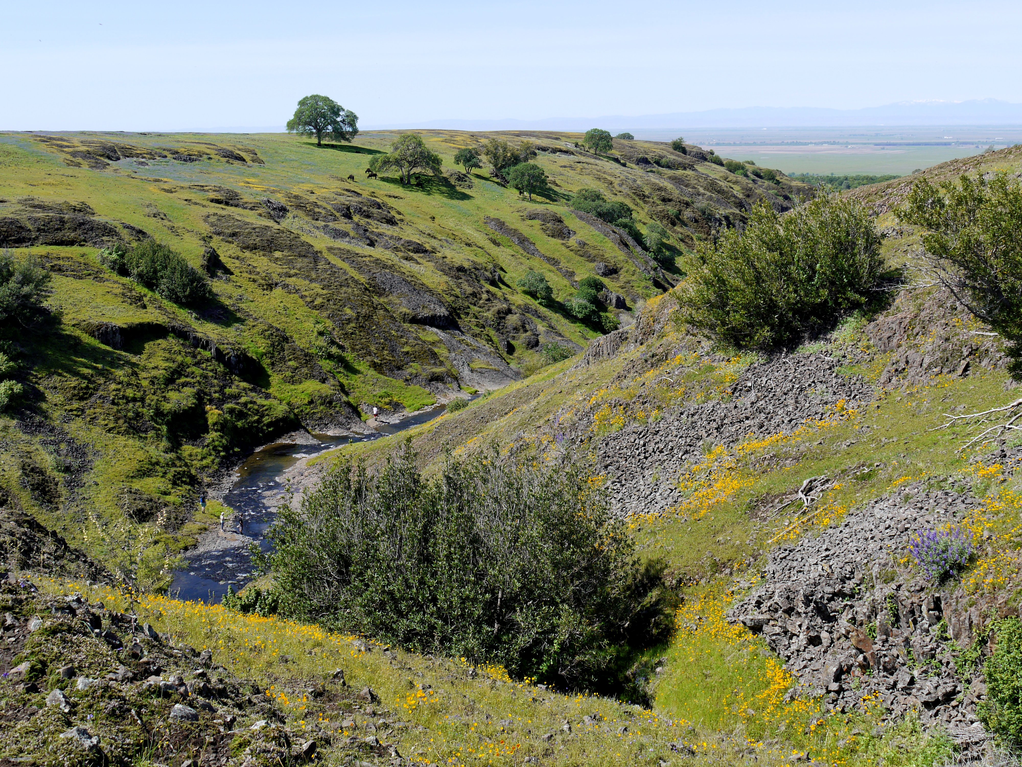
Less than a mile of travel is needed to reach the western edge of the mesa, where most of the fun stuff is.
Rock hunting, I guess
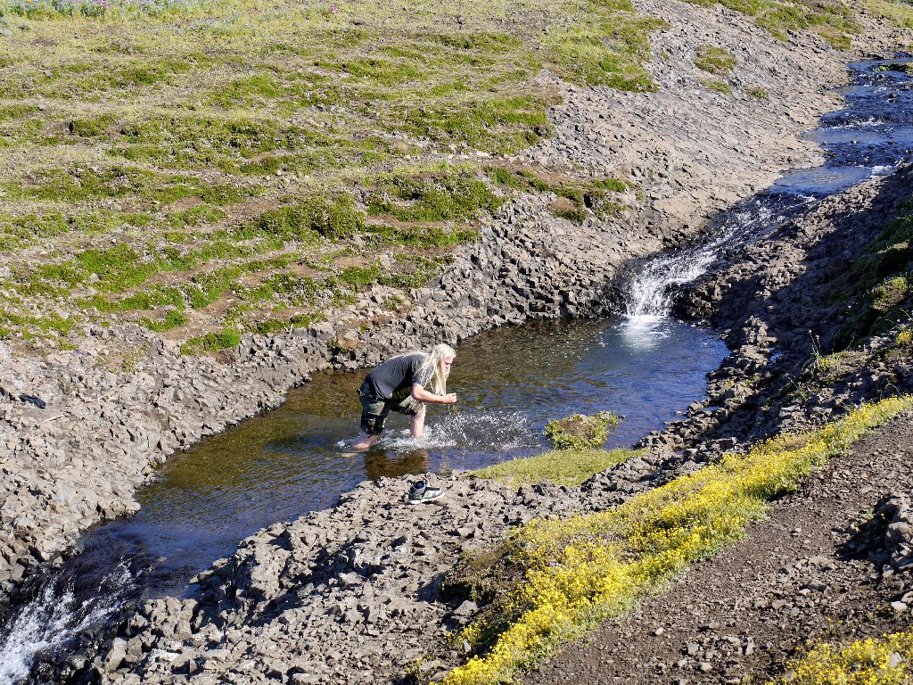
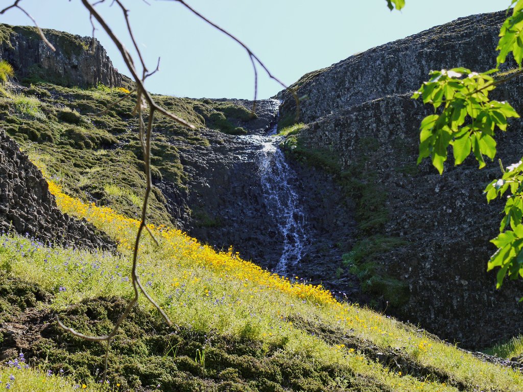
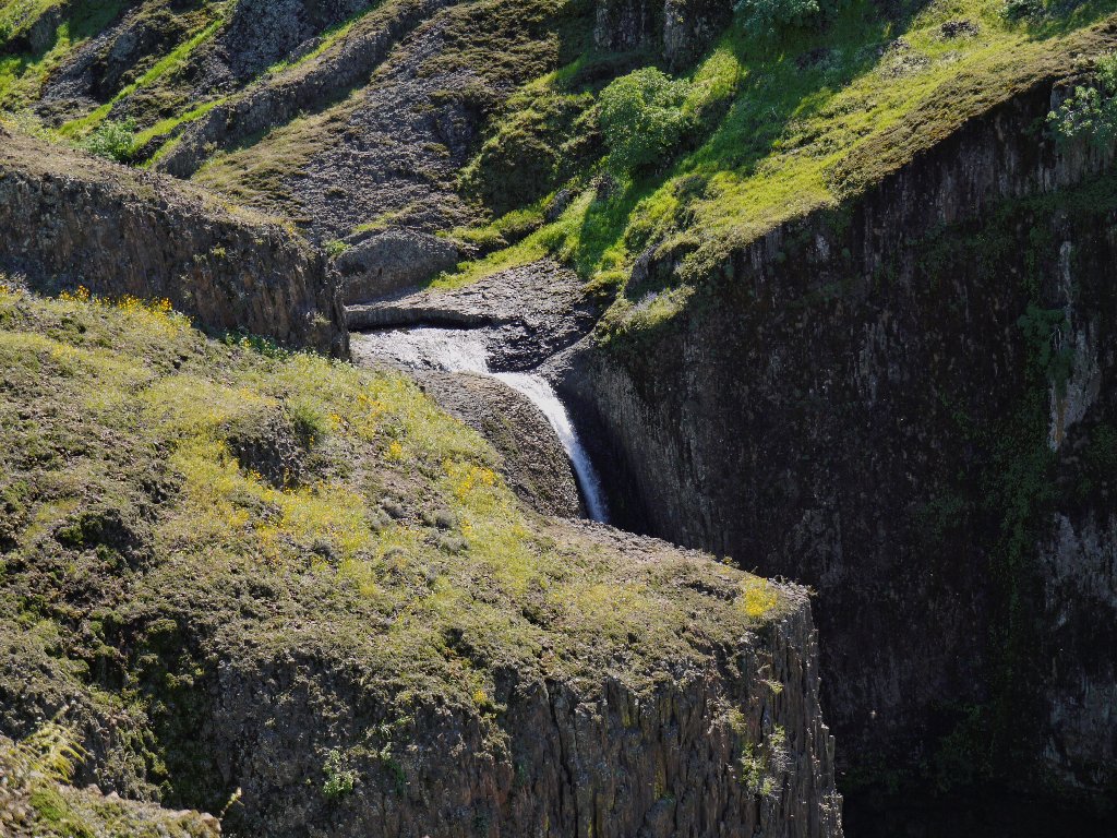
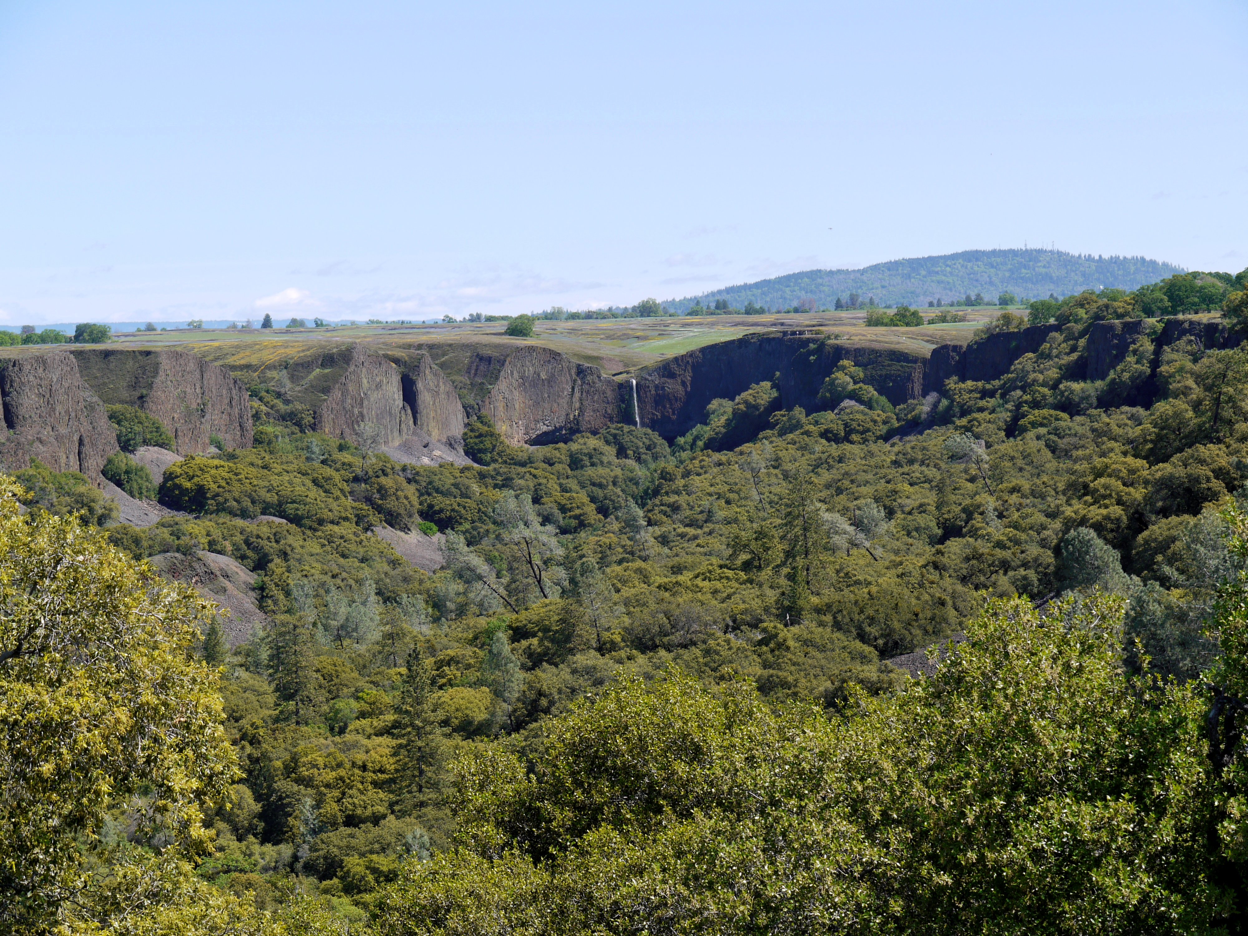
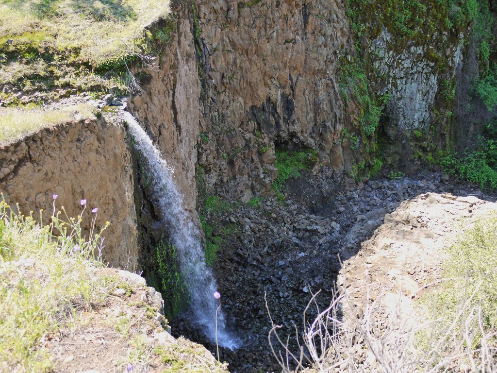
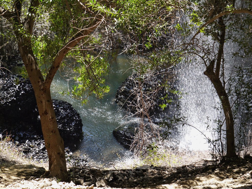
Hollow Falls
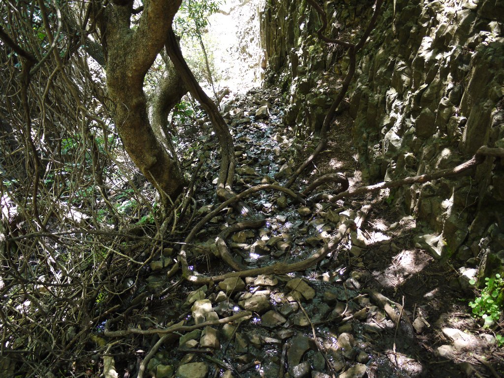
As expected, this cascade is small but sweet. A short search reveals a trail down into the canyon.
Entering Beatson Hollow
Not a good photo yet
I must climb up the far side of the canyon for the best viewing angle.
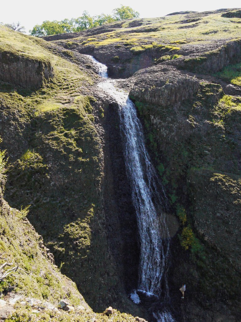
This is more like it!
On this slope is more than I had anticipated:
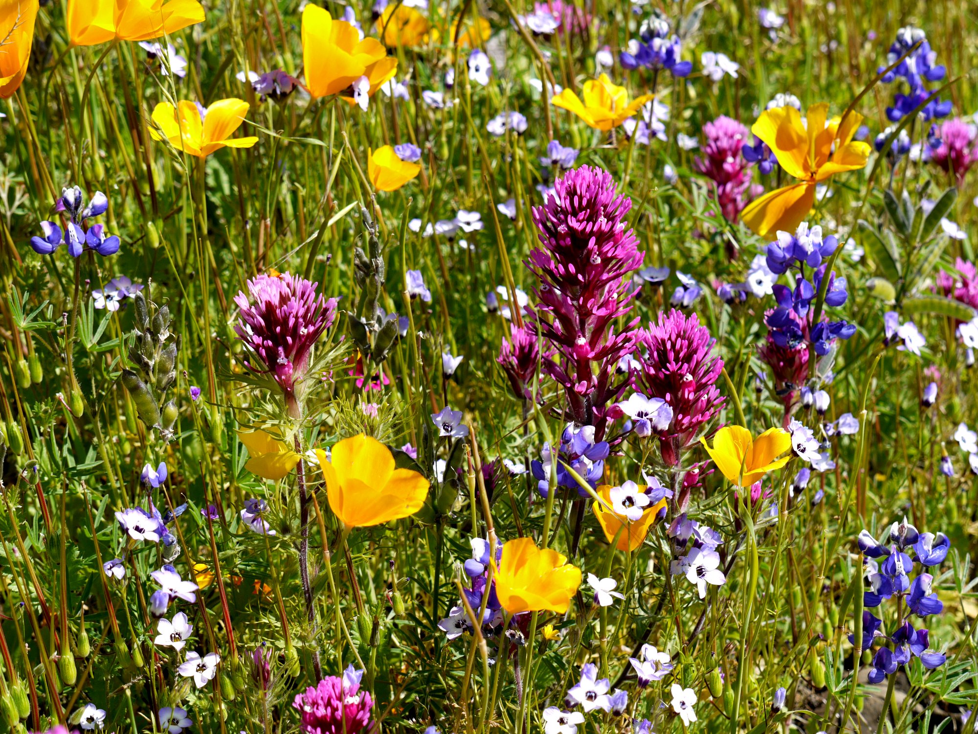
And I was worried that there might not be enough flowers
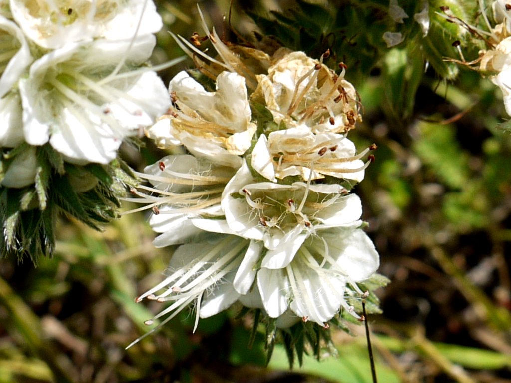
today. Holy clover! ⇔
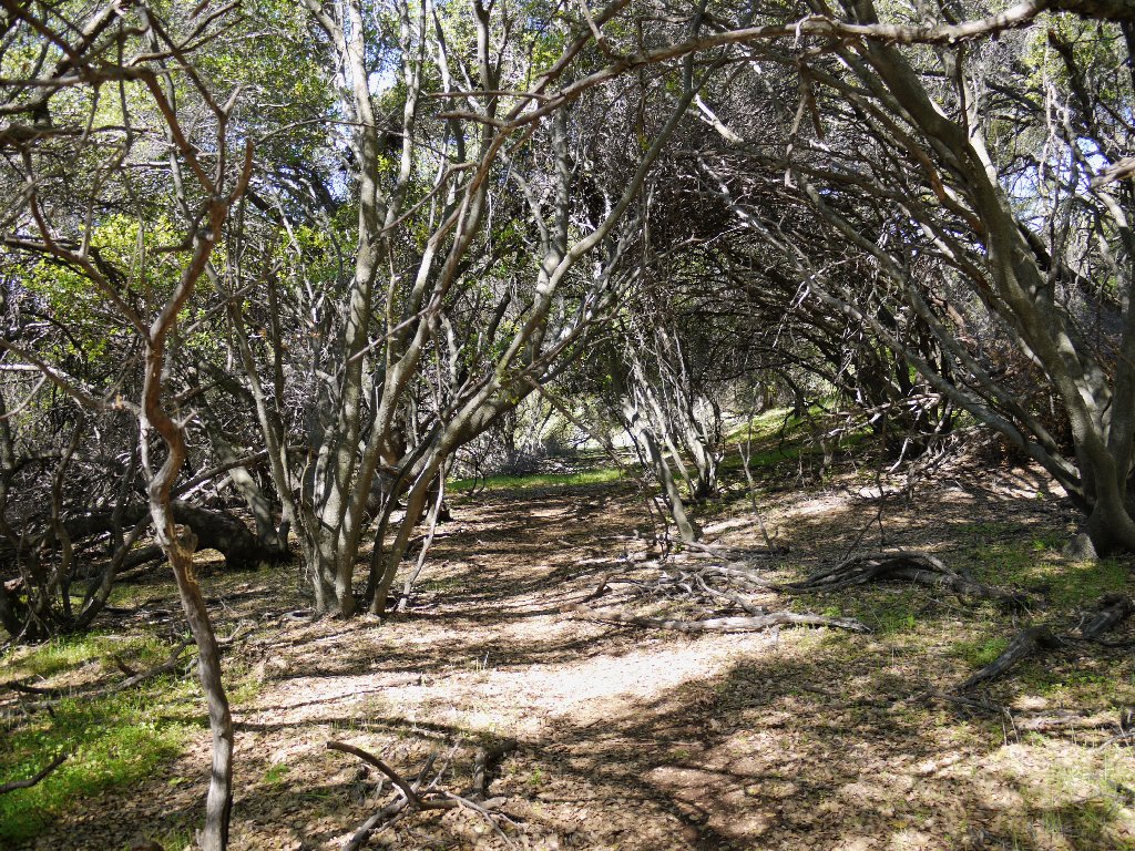
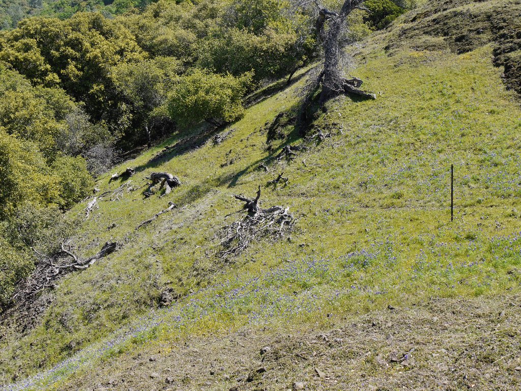
Now I must scurry back down the slope, trying to avoid the poison oak that is all over the place; for the next attraction is in the other direction. My GPS and carefully prepared map lead me up an obscure path to a viewpoint that clearly is not heavily visited.
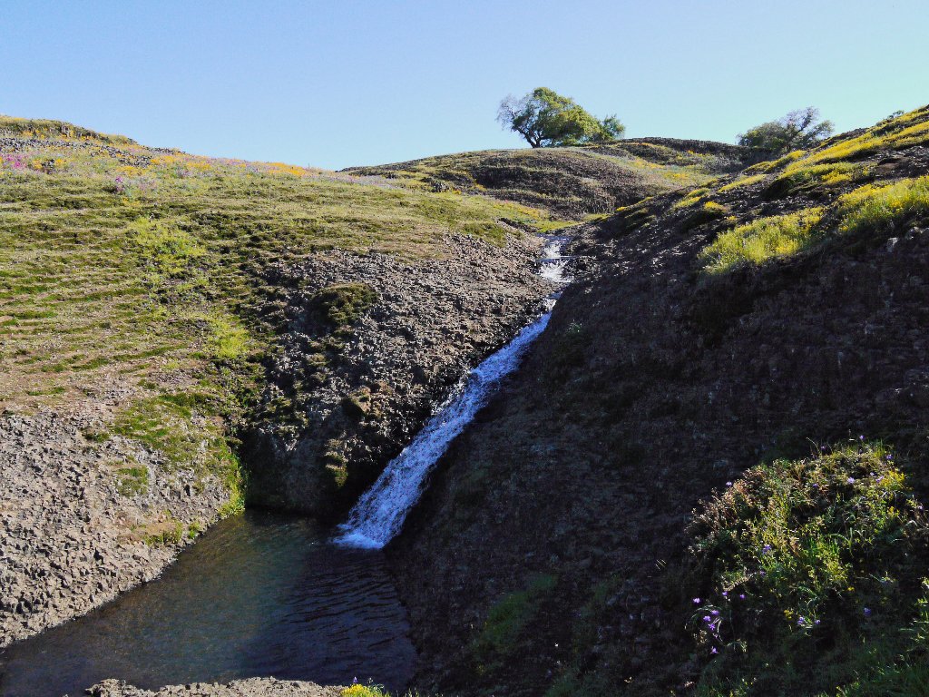
Catamount Falls
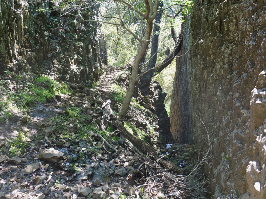
A pretty trail leads westward down Beatson Hollow. Along the way, I spot a group of hikers on the other side of the creek. Thinking that I might need to get over there, I do so.
This is a nice trail, but...
Maybe those guys know what they are doing
Swapping trails proves unnecessary, but here I am anyhow at a
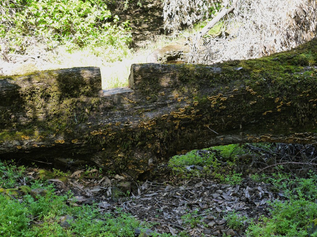
long-abandoned corral that remains on the maps.
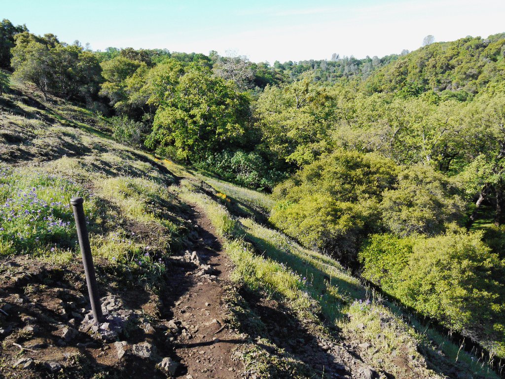
Interesting section
Beatson Corral
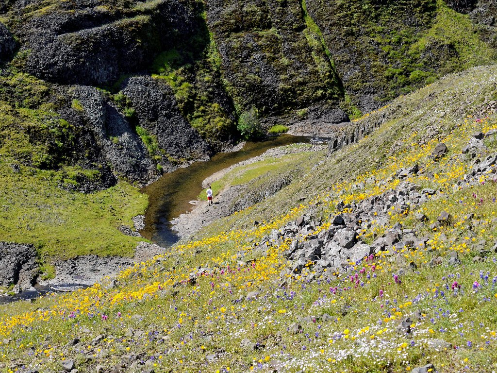
Judging from that map, it had been my presumption that it would be necessary to leave the canyon in order to continue downstream. Everyone else is heading straight down beside the creek, though; so I will do the same.
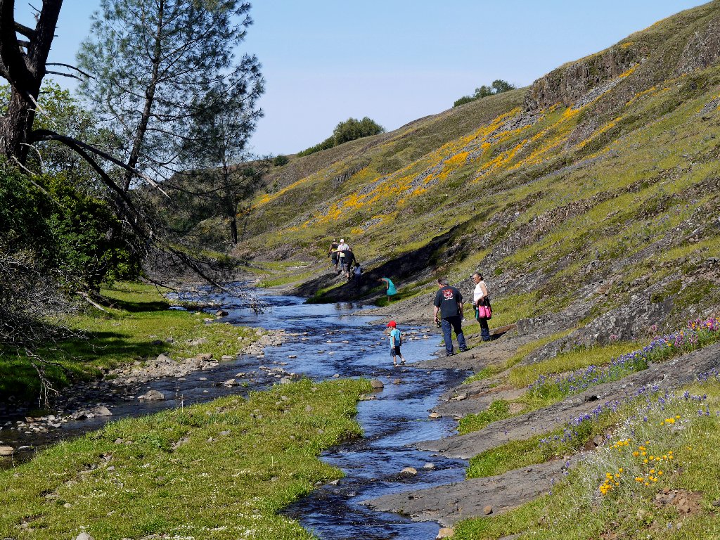
Campbell Creek
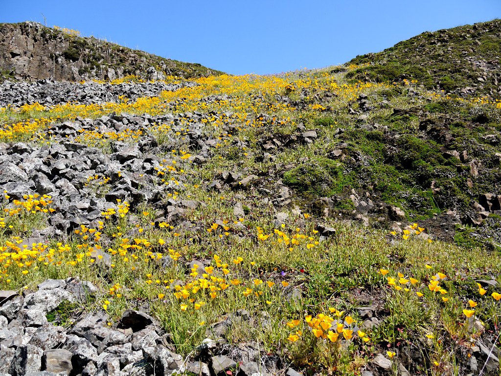
Another waterfall is nearby. Knowing that it will be necessary to access the cliff top eventually in order to get a decent photograph, I scurry up a convenient hillside that happens to be laden with poppies.
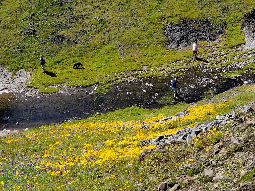
Back up on the mesa, I can see some exciting things — cows and the smoggy valley. Perhaps I should have stayed down below.
When I finally do reach the falls, the photo opportunities are severely limited. There is no easy way down into the canyon for a better shot.
Beatson Falls
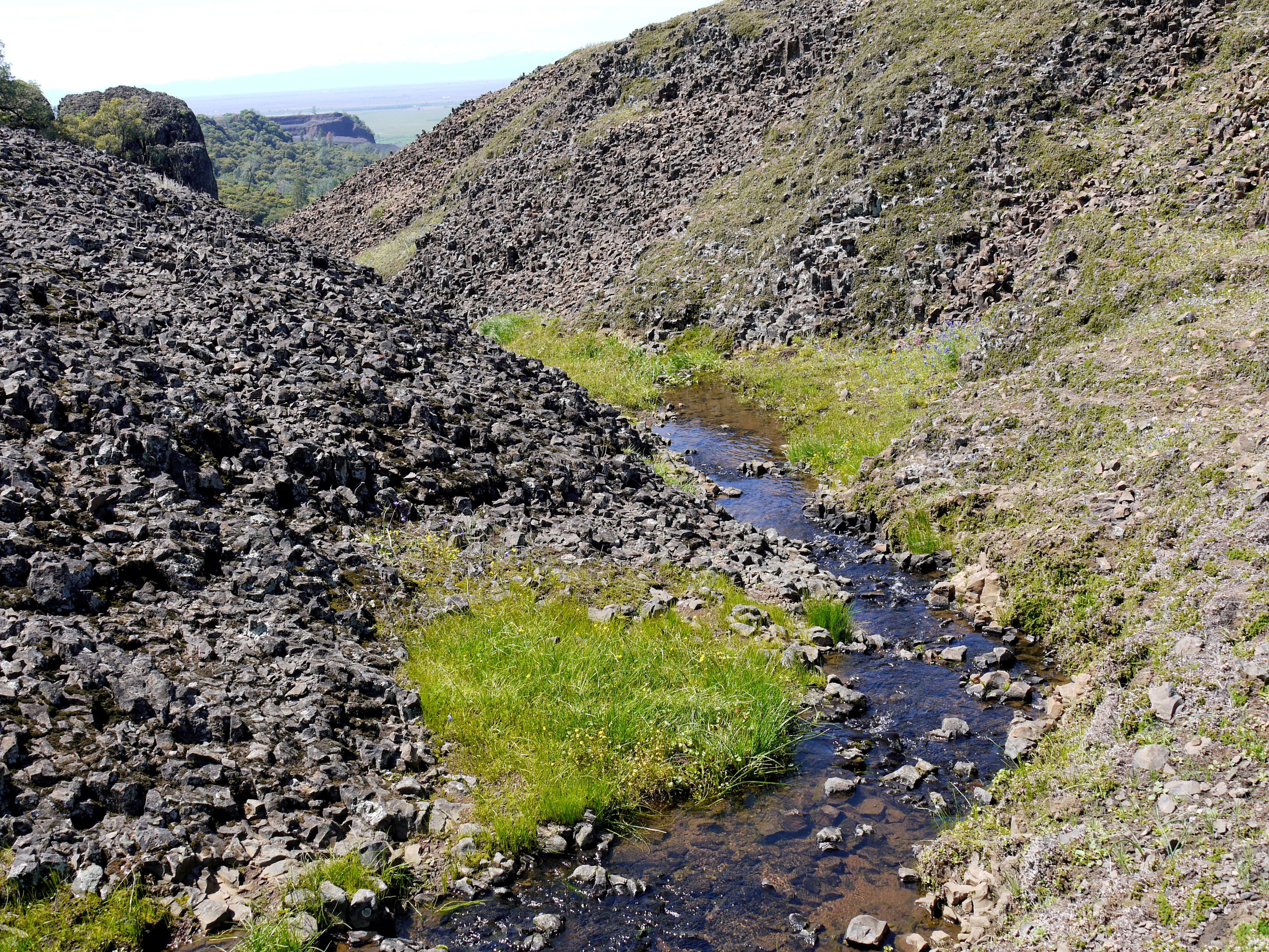
Now it is time for a northward trek past an unnamed reservoir. The fact that I have departed the beaten path becomes clear when I am compelled to inch my way under a barbed wire fence, flat on my back.
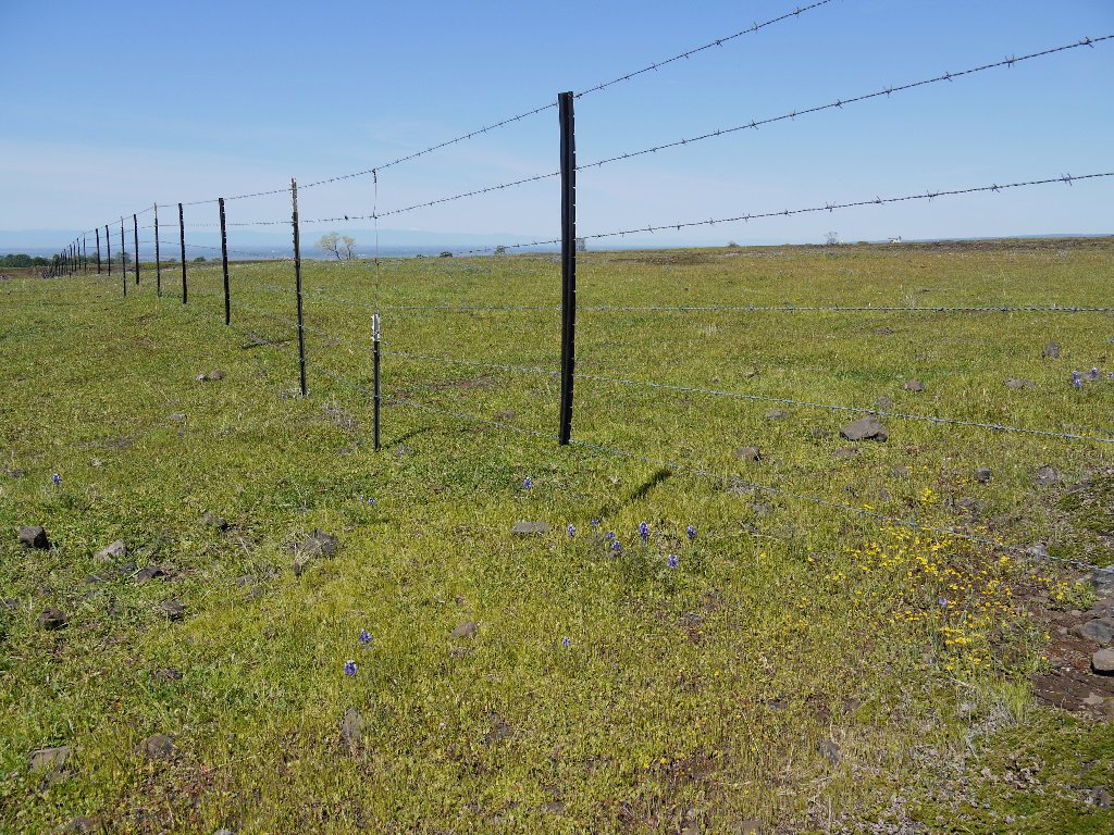
The wires are tightly strung
That guy doesn't care
As I pick a route among several small groups of cattle, all eyes are upon me; but I don't see any bulls around, which is good. Then I must prostrate myself again at another fence.
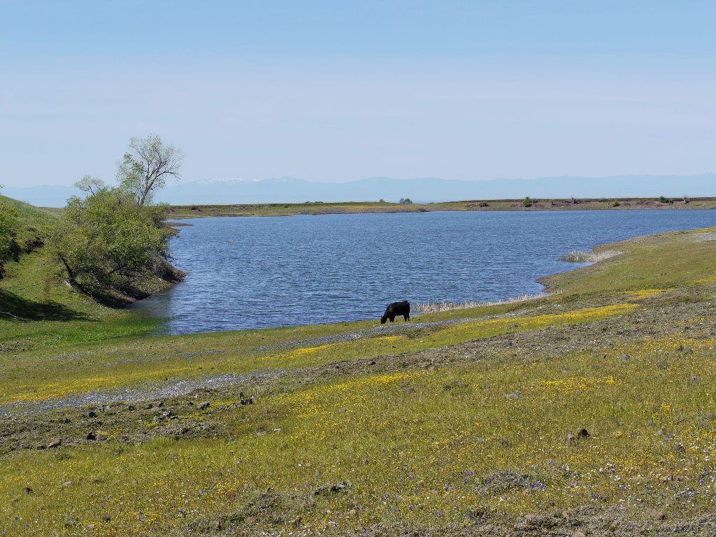
Don't drink the water here
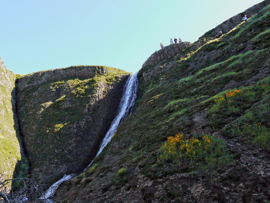
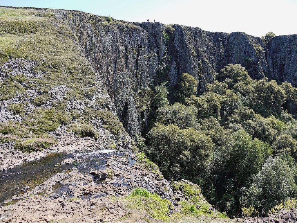
At the approach to the lip of a ravine, an unexpected vista appears. Wow!
Phantom Falls are a mile away
Skirting the cliff top, I know that there is another waterfall just below
and out of sight. Soon another hoped-for access path presents itself.
Into the ravine
A hikers' gate in the barbed wire
A helpful notch in the fallen log
At the canyon bottom I veer left back to the falls, noting a trail junction as I pass by.
Lower Ravine Falls
Backtracking to said junction, I continue eastward, thinking that I will able to continue fortuitously up the canyon to Upper Ravine Falls, but no; the trail angles steeply back to the rim. Partly because it is warming up now, I stop to rest a couple of times on the way up.
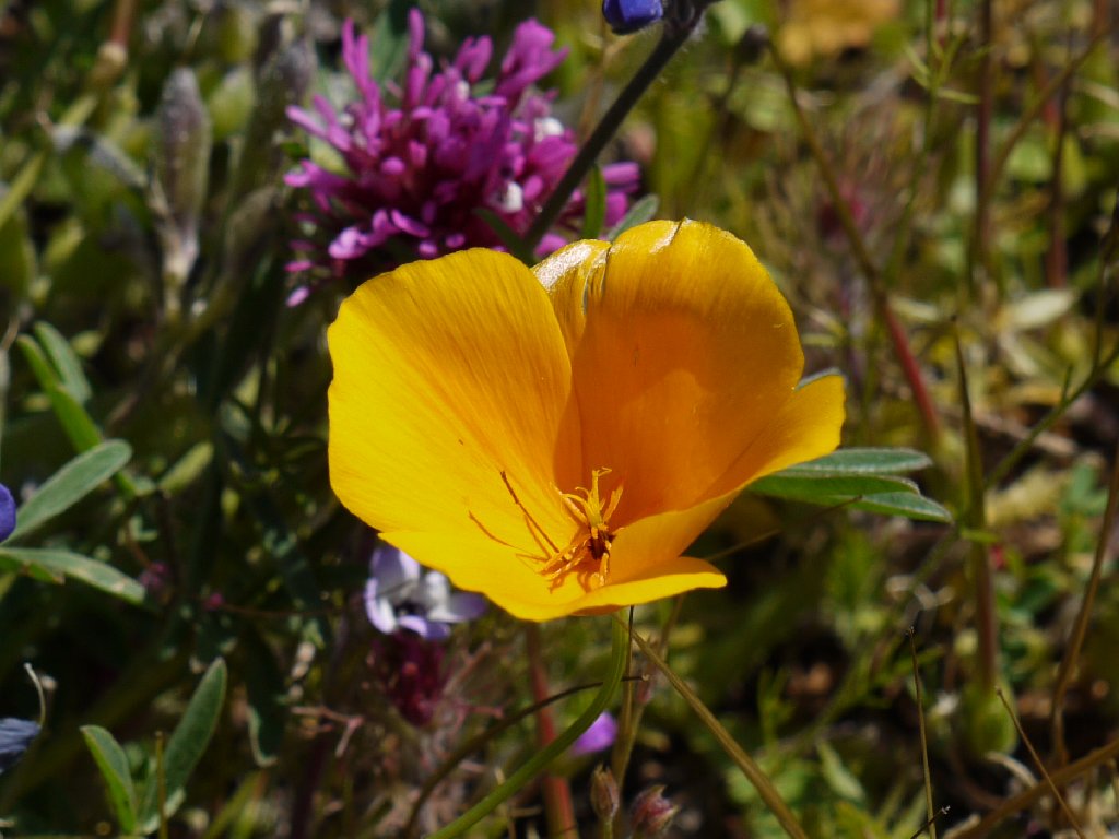
Tufted Poppy
Western Waterleaf
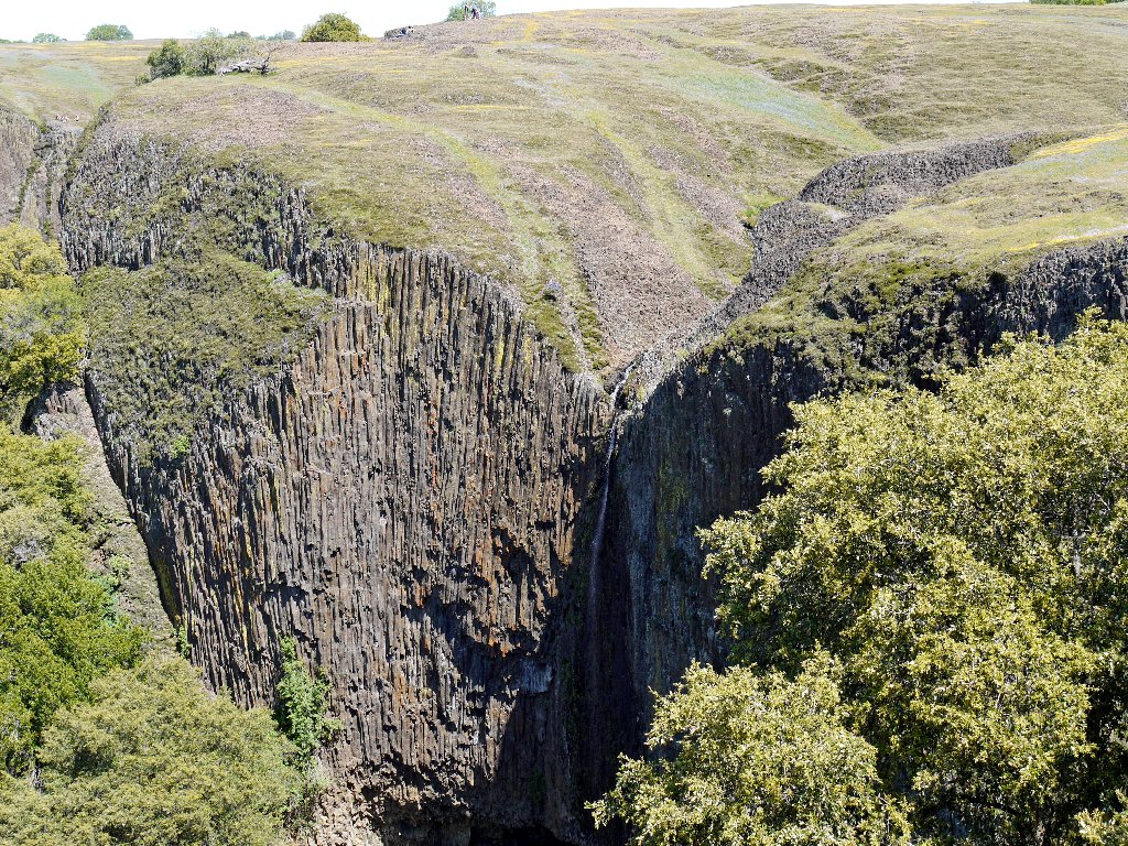
I never do see the next waterfall, but the views continue to improve.
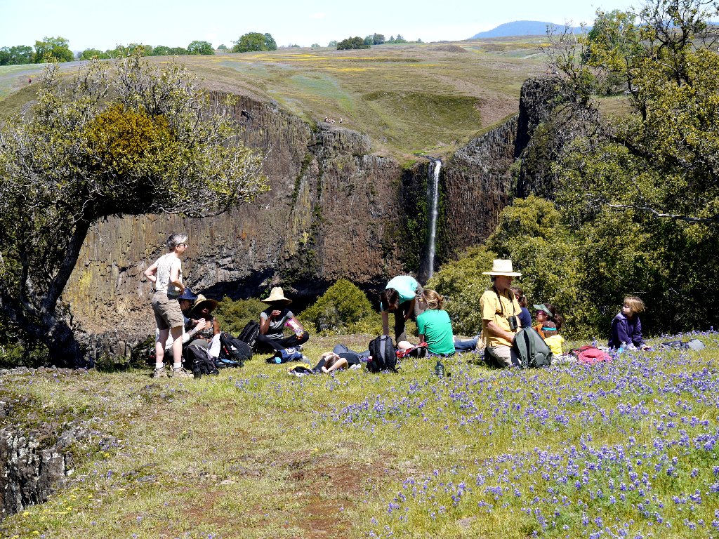
These picnickers have the right idea
A small hidden falls is barely visible in the shade below.
Little Phantom Falls
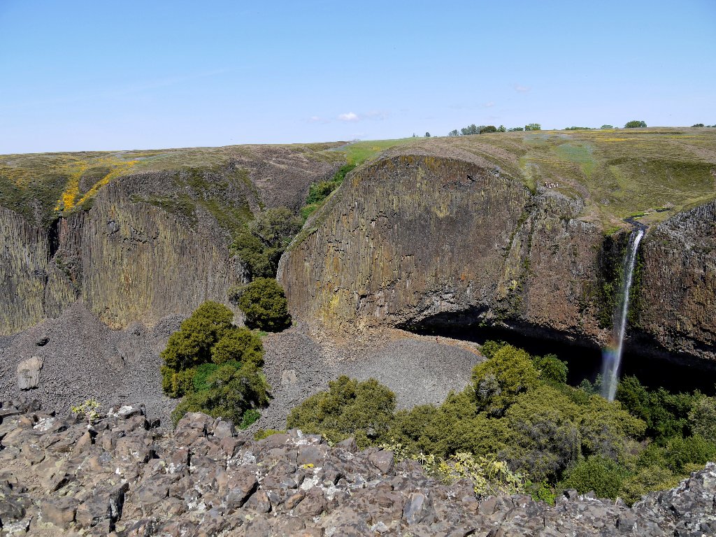
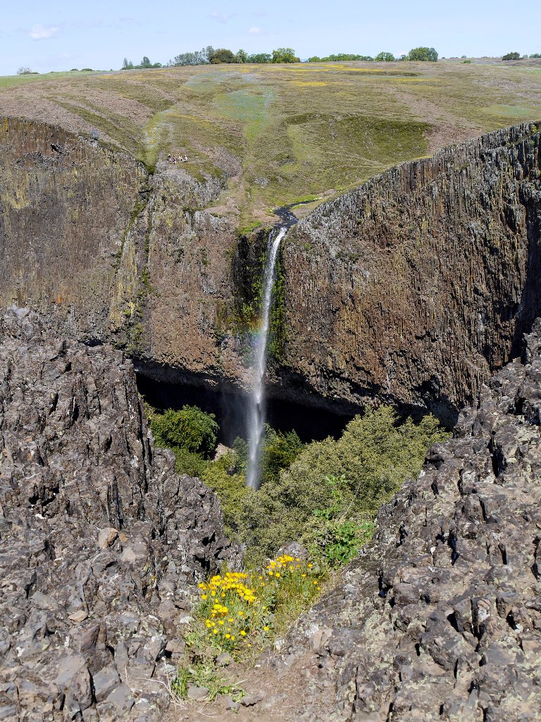
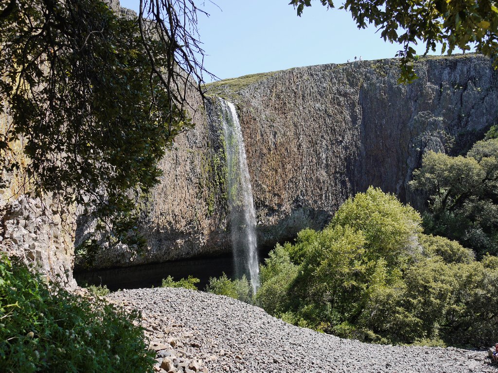
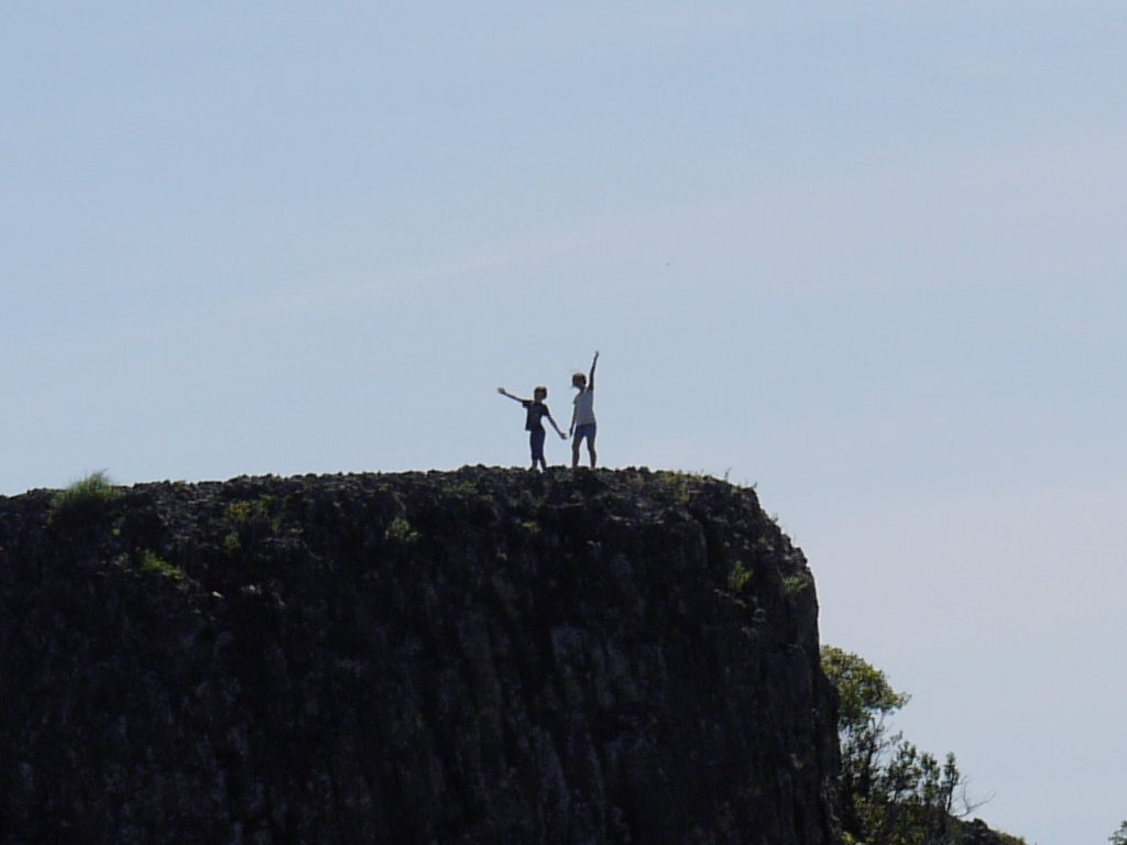
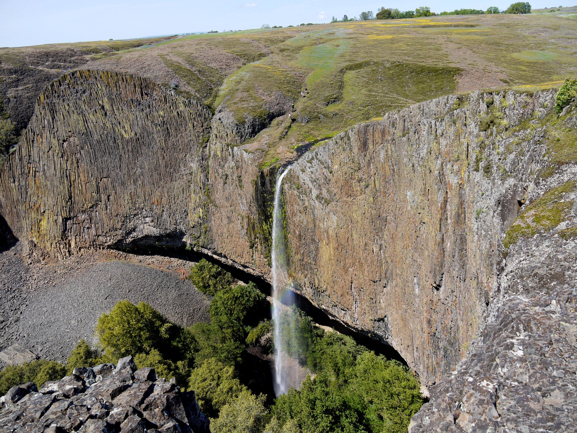
At the next overlook I am treated to a scene so beautiful that it is difficult to reconcile the fact that it lies just two miles from the boring Sacramento Valley floor. And a rainbow, too. Oh, my!
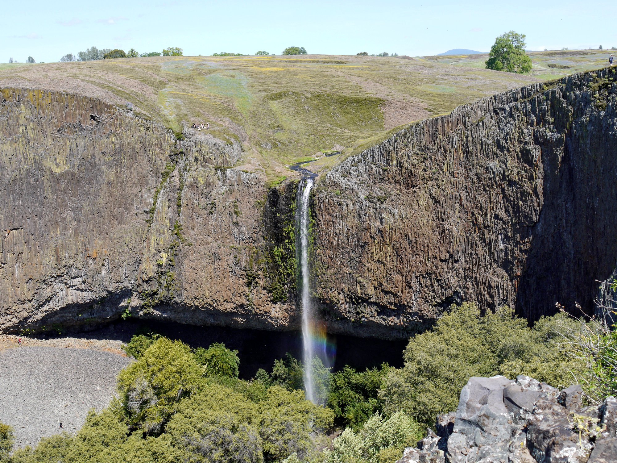
Phantom Falls — the prettiest spot within a
90-minute drive of Sacramento ⇔
Having visited here several decades ago, I recall that one can reach the base of the falls; in fact, I can see some folks down there now.
The access route is in those trees to the left
A closer view
Crossing just above the brink
The access trail is horrible! This is the steepest, roughest route in my experience, and all the water running down the trail doesn't help. Only some conveniently located exposed tree roots keep this thing from being truly dangerous. As it is, I find it best to slide down on my butt for the last thirty vertical feet.
Rougher than it looks
The work isn't over yet; for now there are a couple hundred feet of loose
scree to negotiate. One guy following me, carrying his dog to preserve
its poor feet, nearly plunges face-first down into the sharp rocks.
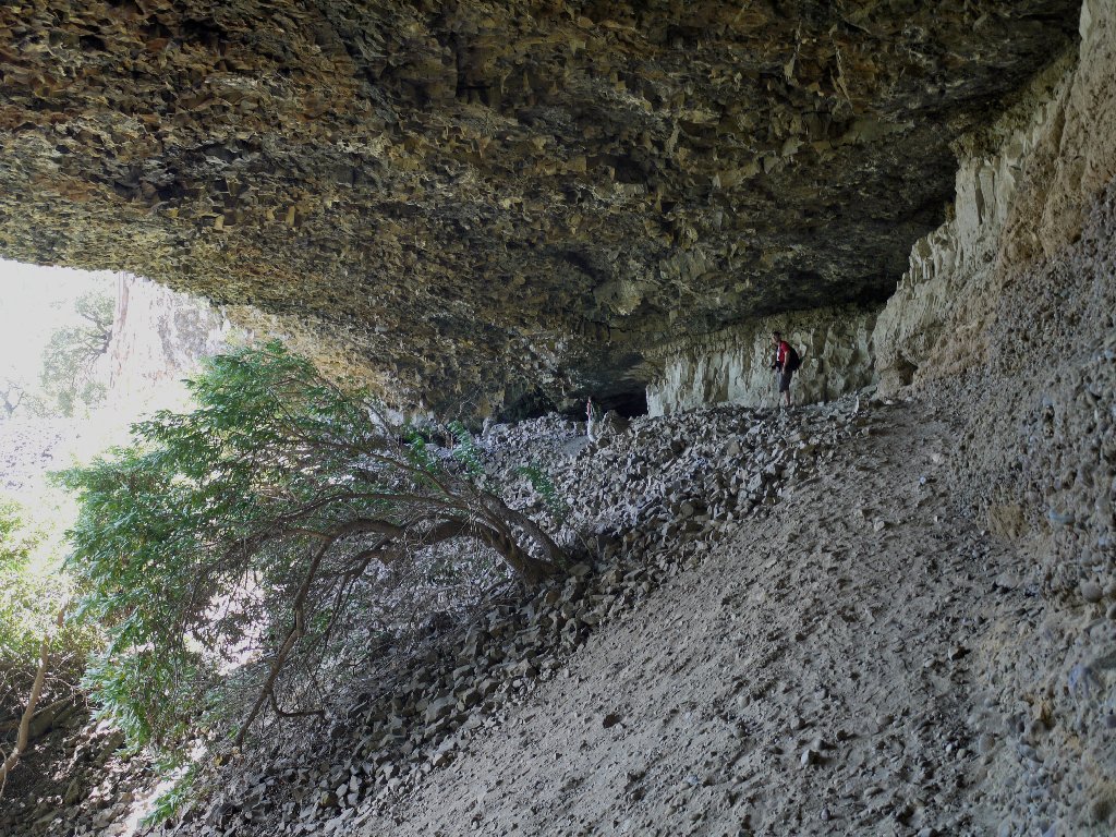
Heading for the cave
Made it! Unlike many such places, this one is not
human-friendly. There is nothing in here but dirt
and sand to sit upon, but it is time for lunch anyway.
I am not surprised when an attempted phone call fails.
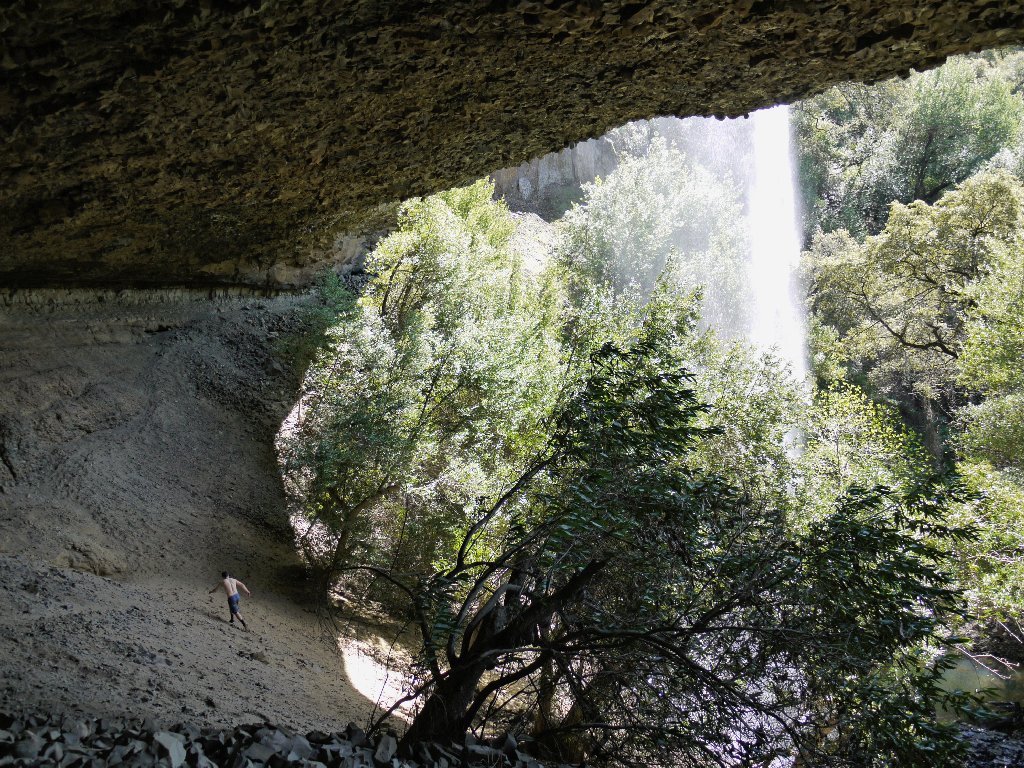
Lounging in the cave
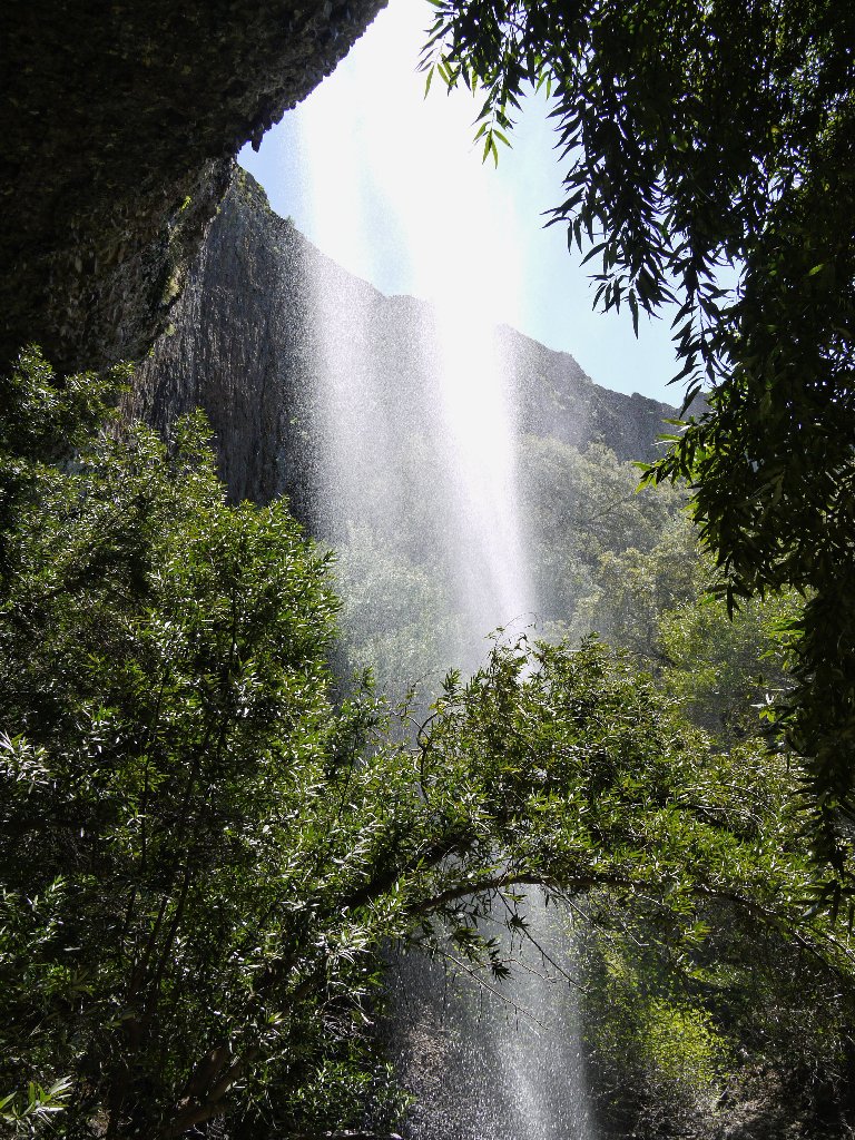
Base of the falls
The way out
Two youngsters, aged about 6-8, scamper about the cave as if they were born
to do just that. I cannot help but envy their agility as well as that of
the other sure-footed young hikers I observe. I used to be as
capable and fearless as any of them, but nowadays I usually feel inclined to
be extra-careful. At times I might actually appear somewhat inept
to others, but at least I'll not be taking any headers into the rubble and
destroying my pet dog in the process.
Getting back up the horrible trail predictably is much easier than going down, excepting of course that it is so steep that a couple of rest stops are in order. Once on top, I sit down, finish my gorp, and contemplate my fate. Being quite a bit more tired than had been anticipated, I opt to forgo visits to further attractions and save them for another day. Instead, it is time for the obligatory visit to the brink of Phantom Falls.
Living on the edge
Those kids are having a good time
When the guy with the dog passes by, he asks what was my favorite part of the hike. I mention the falls overlook, and now I must revisit that awesome spot for my favorite photo of the year to date. Note the foursome descending toward the brink of the falls:
This is why I go hiking ⇔
As the six guys + mutt continue on the more established path, my GPS says that the parking lot is about 60° to the left; so I head that way instead.
I go to the left
They go to the right
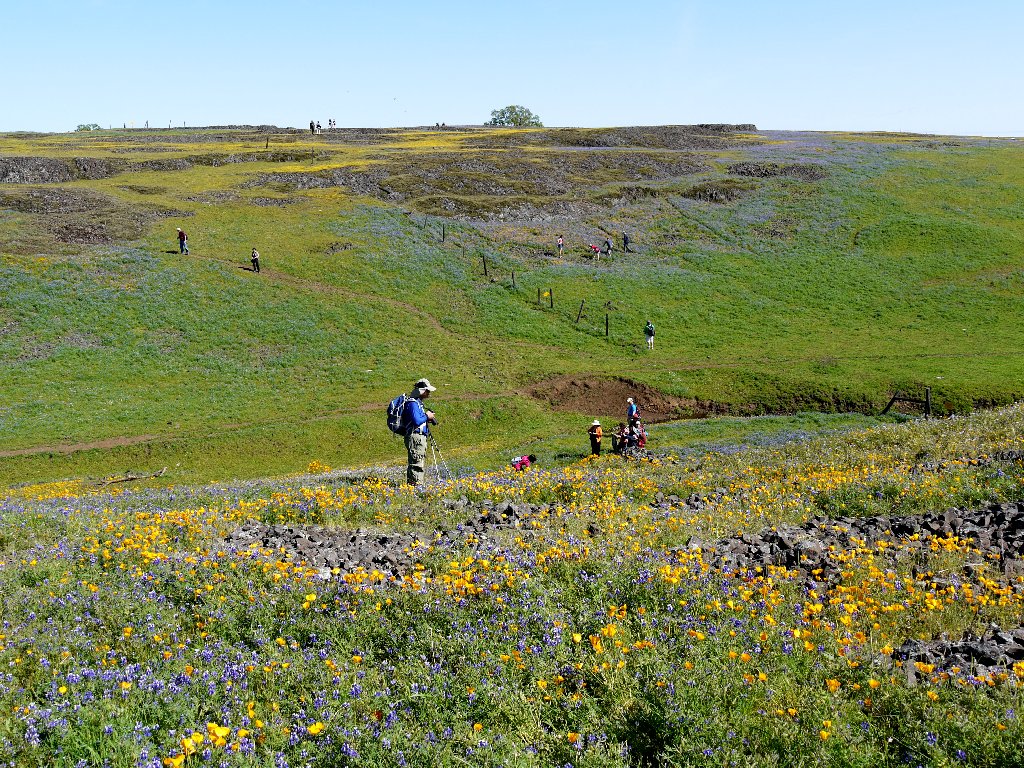
This shortcut proves a serendipitous choice, for soon I find myself in a gorgeous canyon chock full of poppies. Another photographer already is here, and his tripod is set up.
Had I remained on the other trail, I would not have found
this ⇔
Yet another fence appears replete with imposing signs, and it is a tight squeeze through the locked gate. I do this only because others are walking in the area behind the fence.
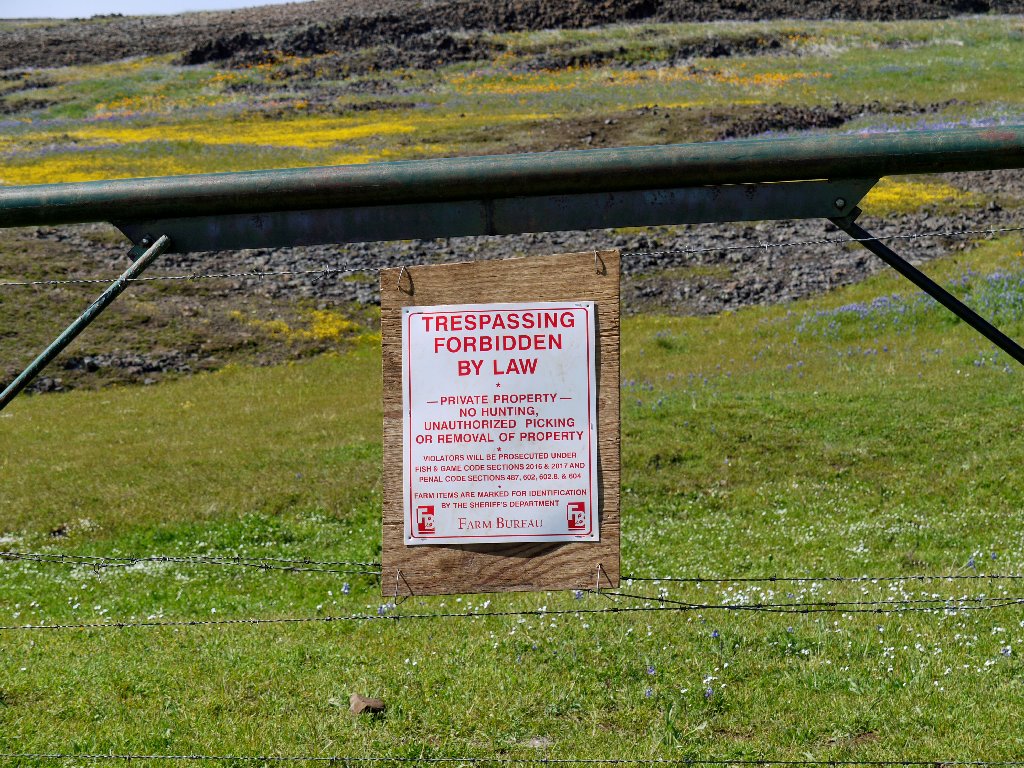
Apparently this actually means: "Take only photographs;
leave only footprints"
There's only another mile to go, but I am quite weary. Even in this easy section I pause to rest a couple of times and photograph some flowers.
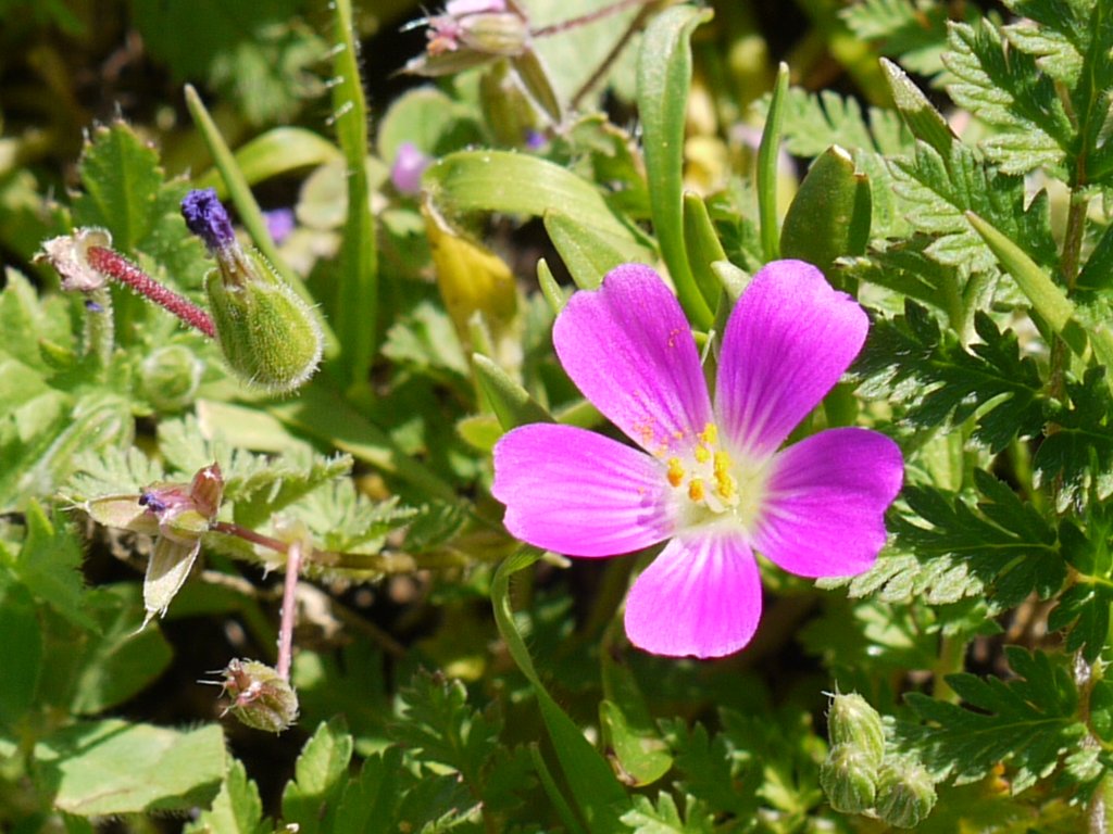
Redmaids
Once in the car, I count nearly two hundred vehicles at the parking lot,
and another fifty on the nearby highway. Many have arrived late to
enjoy the kite-friendly breezes.
The parking lot is near that round tree
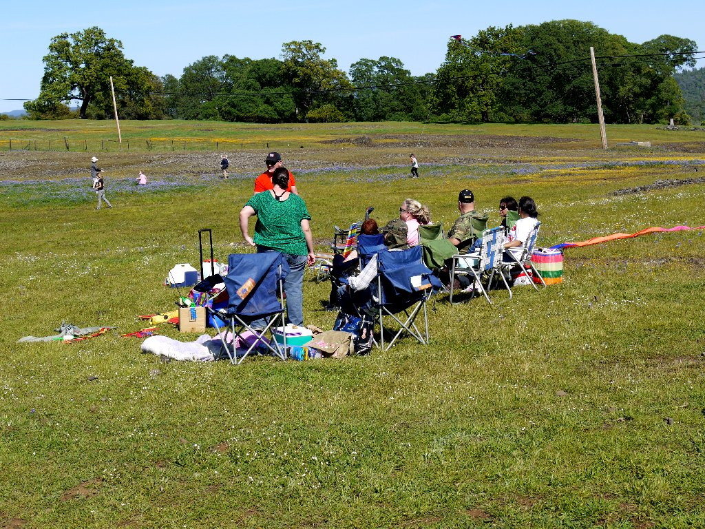
Preparing to launch their kites
§: What a marvelous adventure this was!
How I could have postponed a visit here for so long is
inexplicable. Today I visited six waterfalls, leaving
equally many for subsequent exploration. Many of today's
visitors clearly would not likely be found on a serious hiking
trail, but that's part of the beauty of this place —
there is something for everyone.
Be sure to come here only in the springtime; otherwise, you
will be greatly disappointed — that is, unless you
don't care about flowers or waterfalls, in which case you surely
are not a hiker anyway.
| Scenery |  |
| Difficulty |  |
| Flowers | |
| Personality |  |
| Adventure | |
| Solitude |  |