
Yosemite National Park
|
Obata Lake Yosemite National Park |
September 24, 2012
Note: Today's destination is not named on any map, but that oversight is about to be rectified.
This outing is something of a landmark occasion, at least, for
me — my 70th hike of the year
to commemorate my recent 70th birthday.
To that end, I had planned to 'blow it out' with an ascent of the
dreaded Mount Dana; but a strong breeze at Tioga Pass has sent me
scurrying down here to Tuolumne Meadows instead.
It feels somewhat eerie in the high country this morning.
The store, post office, and gas station all are closed, Tioga Resort
is closed, and the sun had not yet risen as I passed through the park
entrance station. Perhaps the fact that it is only 8:30 a.m.
has something to do with it.
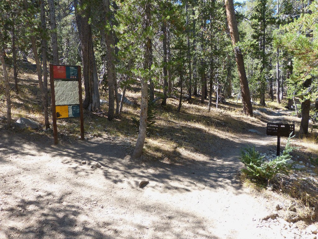
The first order of business is to find the Elizabeth Lake Trailhead. This proves to be a bit of a challenge, because there is no helpful sign on the highway. Having found the parking lot eventually, it still is pretty cool out; so I opt to pack a little extra clothing that I know I probably won't need.
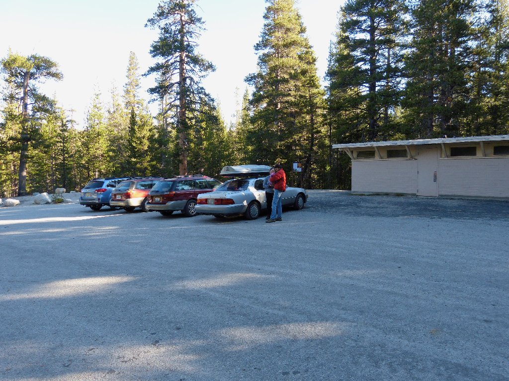
Getting started
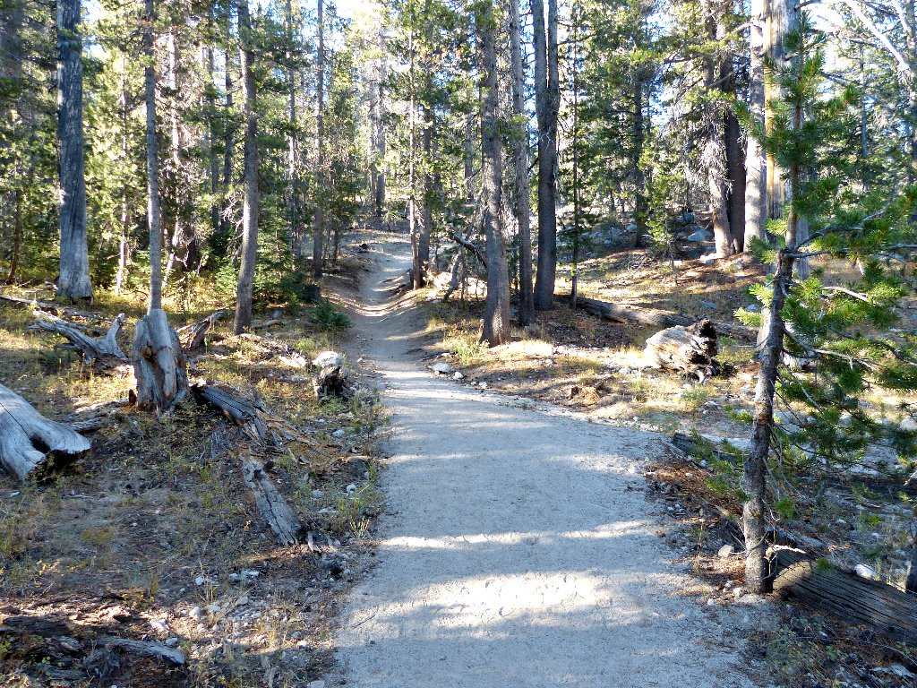
The trail to the big lake is an unexciting slog through the forest,
with nary a view to be had short of the two-mile mark.
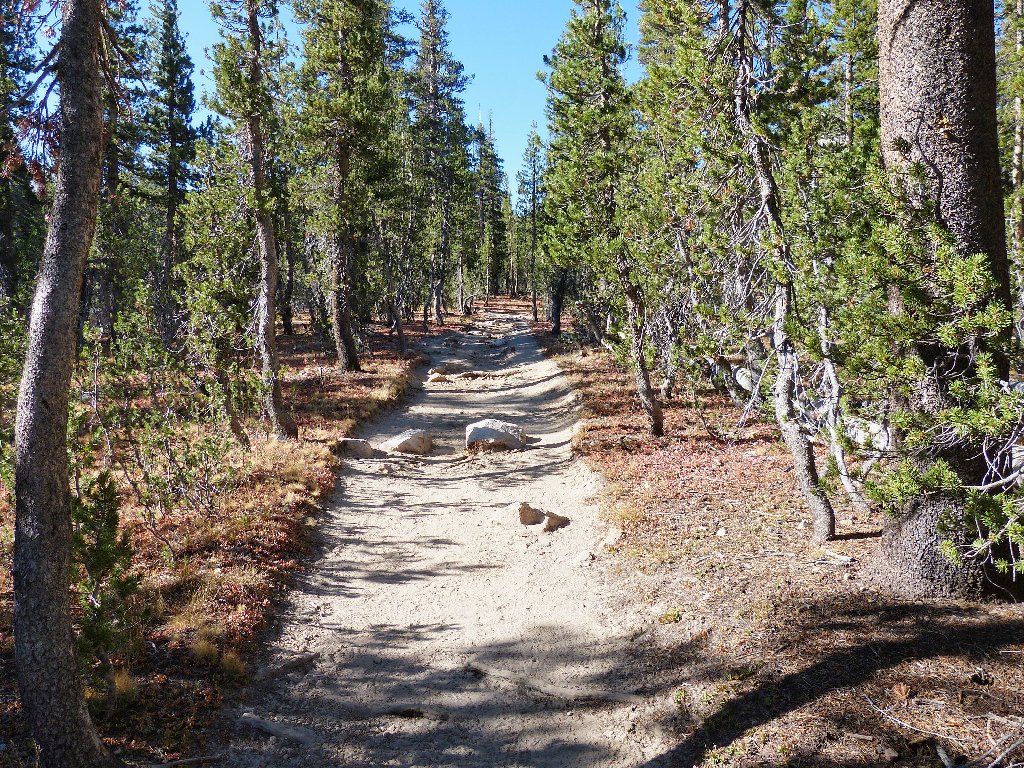
Just getting there
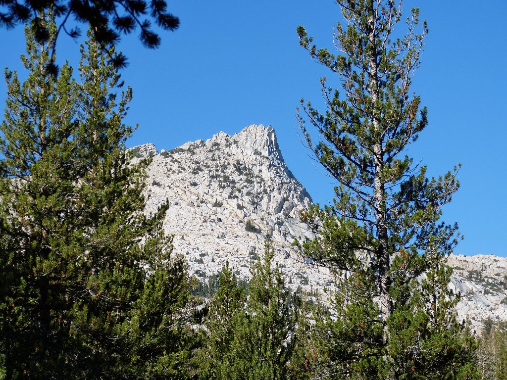
Unicorn Peak to the west
Another quarter-mile walk gets me to the shore of what probably is the final destination for most hikers on this trail. In 1909, Robert Marshall of the U.S. Geological Survey named this lake after his niece Elizabeth Simmons, daughter of a Sacramento doctor.
Elizabeth Lake
Close-ups of two nearby peaks reveal no rock climbers out so early in the morning. They probably will be around later, however; the Cathedral Range is quite popular in that regard.
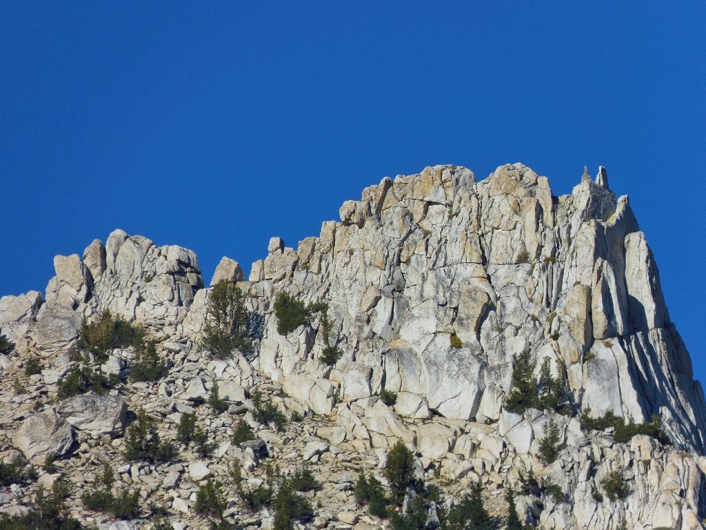
Unicorn Peak
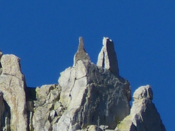
Inspiration for the name "Unicorn"?
The official trail ends here, but I am just getting started.
The objective is just below that peak on the left
Unexpectedly, I do find a little water flowing in Unicorn Creek; and I
am not the only one enjoying it.
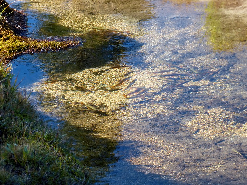
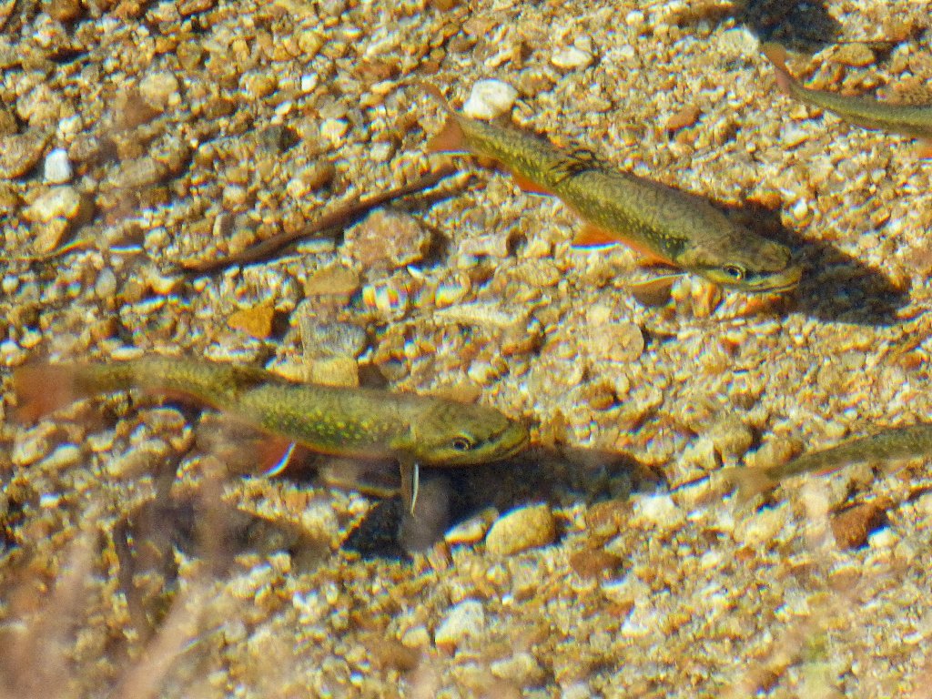
There are plenty of fishies here, for those who like plenty of fishies
This use trail through the meadow is getting me nowhere, however;
I need to go up. Steeling myself for the ordeal, I turn
left onto the boulder-infested hillside.
The adventure begins
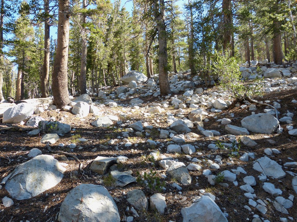
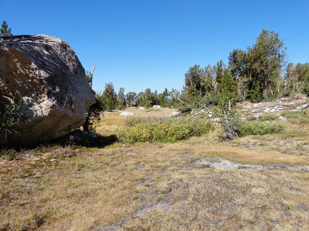
It is about a 500-foot climb through the trees to an open area. Although numerous rest stops are in order, no particular obstacle is encountered. Cresting the ridge, I see that more climbing is on the menu.
My GPS is now pointing over the hill toward the left, but I continue to circle around on a lesser gradient. Walking among the grasses and starkly white boulders is delightful. Many of these rocks are polished smooth, though; so finding solid footing is a priority.
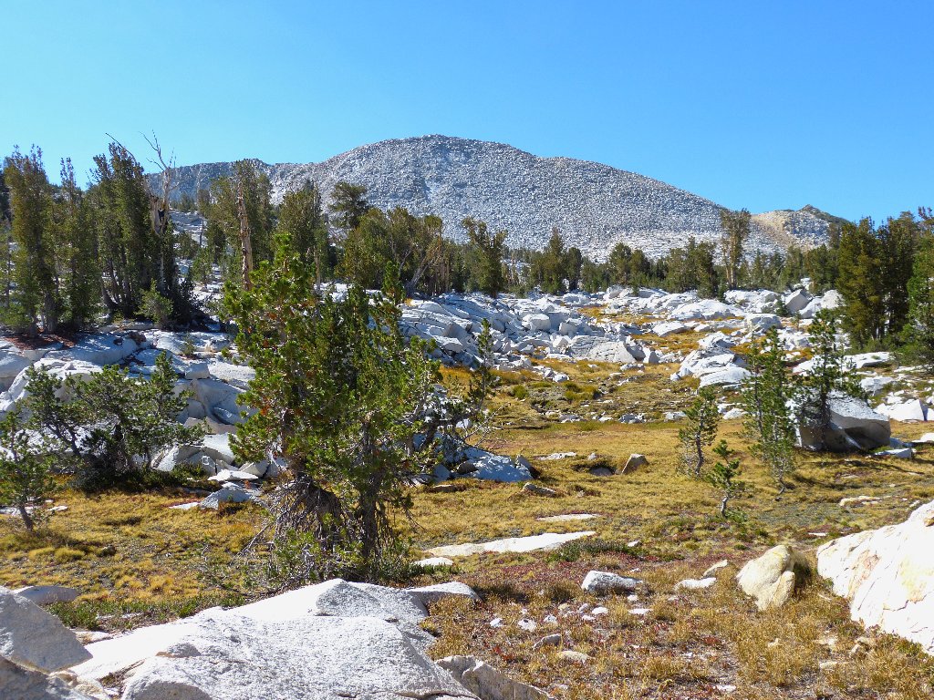
This beautiful spot would be much more so if some water were flowing
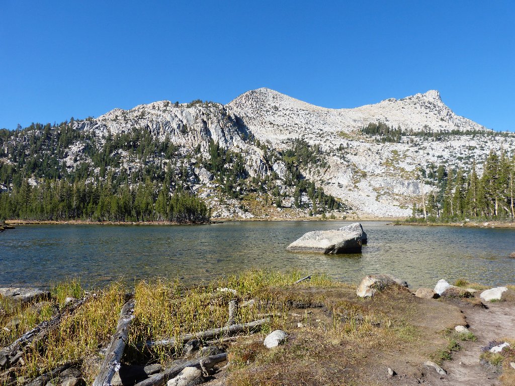
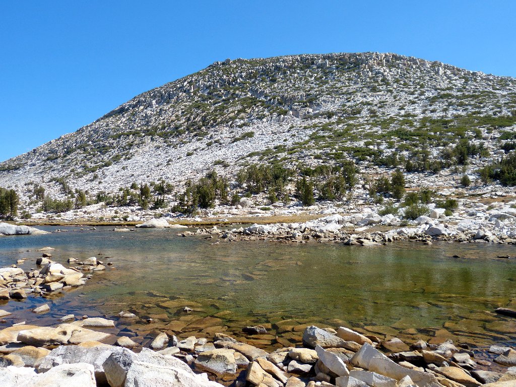
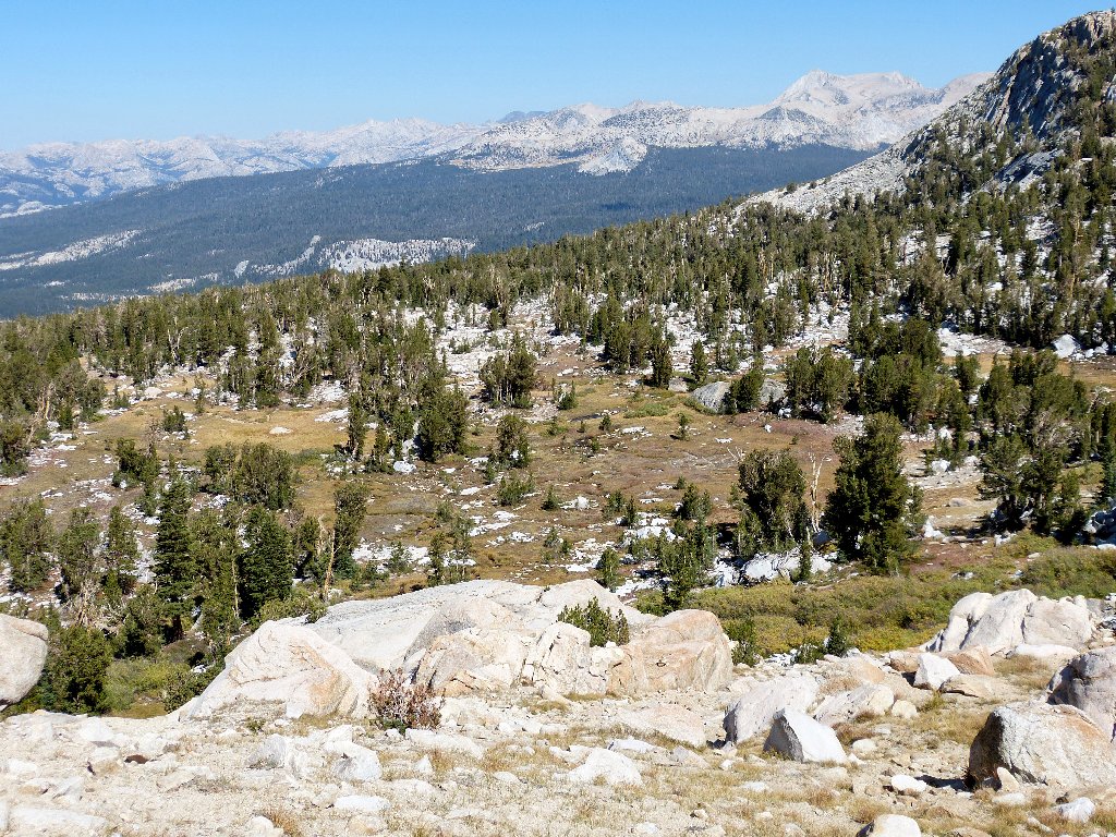
After yet another 500 feet of gain, I finally am rewarded, and amply so:
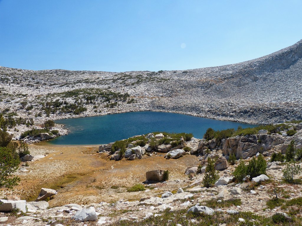
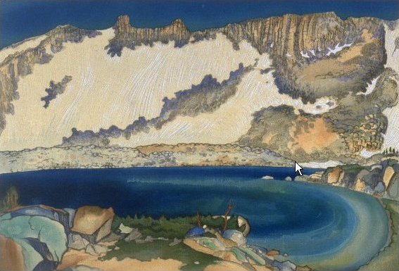
This lovely lake has no name, and that just isn't right
Heading over toward the left side, I discover as nice a beach as I have seen on a high mountain lake.
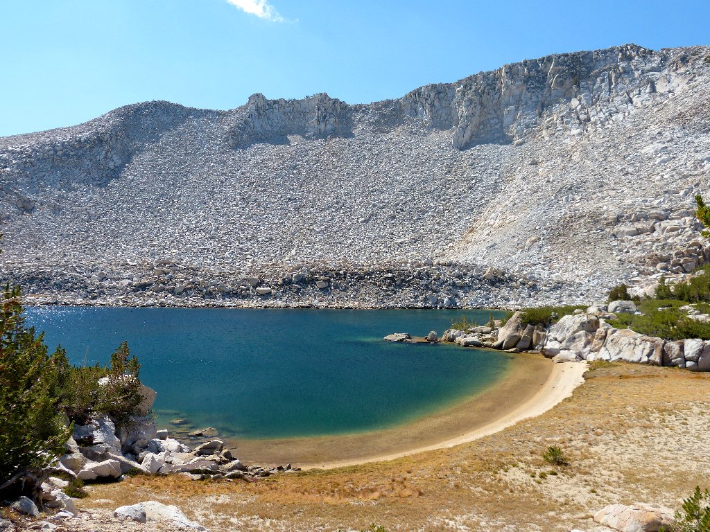
This is why I go hiking
This place also is one of the reasons why the famous artist Chiura Obata went hiking (see Addendum). In fact, I will dub this Obata Lake in honor of that gentleman who accomplished so much more than just recording scenes with watercolors. I am reminded of Kuna Lake (Hike #132), another one of those prettiest places in Yosemite that most folk never have heard of and never will see, yet which is readily accessible.
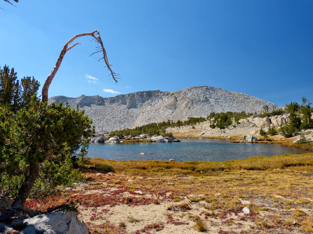
Downstream from Obata Lake are two nice tarns, also nameless.
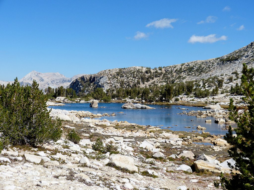
Tarn #1 and Mount Hoffman
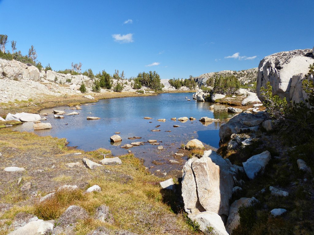
Tarn #2
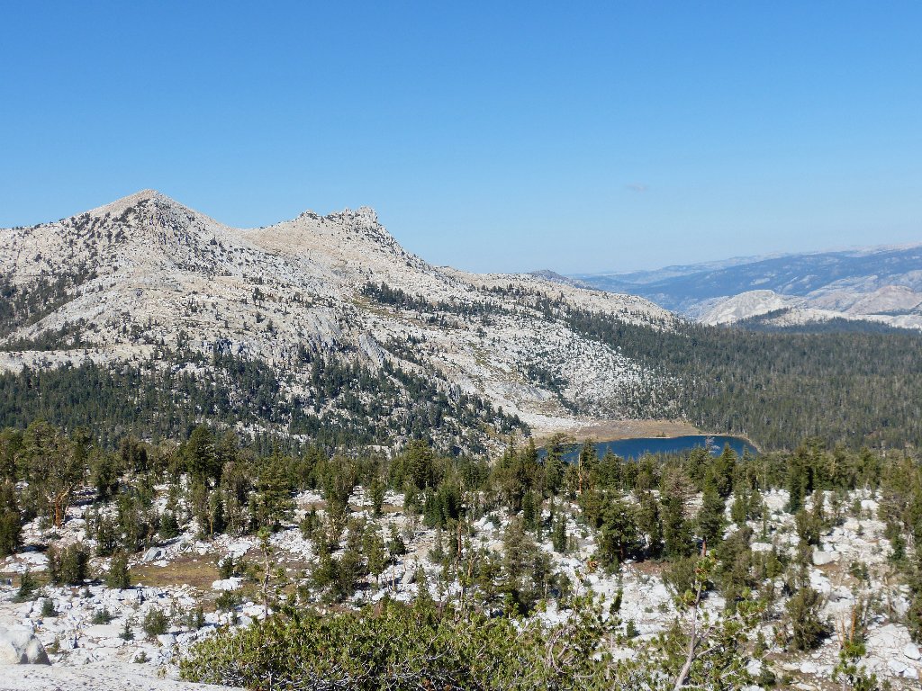
Johnson Peak
Last look at the basin
A good guess would be that that mountain was named after Robert Underwood Johnson, who assisted John Muir in promoting the formation of Yosemite Park, but no; Johnson Peak also was named by Robert Marshall in the 1890s, to honor a teamster and guide in his survey party.
Climbing the peak was on my possibles list, but I will pass on it today. My excuse is that I partially wore out my feet yesterday over at Conness Lakes.
Unicorn Peak and Elizabeth Lake
Now I get to find a way down the hill. The topo map suggests
a reasonable cross-country return for all 2.7 miles to the
trailhead without duplicating any steps, but my GPS waypoints have not
been properly set up for that contingency. I'll just have to see
what happens.
Must find a way down here
The route doesn't look bad at all
Excepting a steep scree slope at the start, the going is pretty easy. There usually is a flattish open space to traverse. This beats the tedium of a trail anytime!
Some spots are easier than others
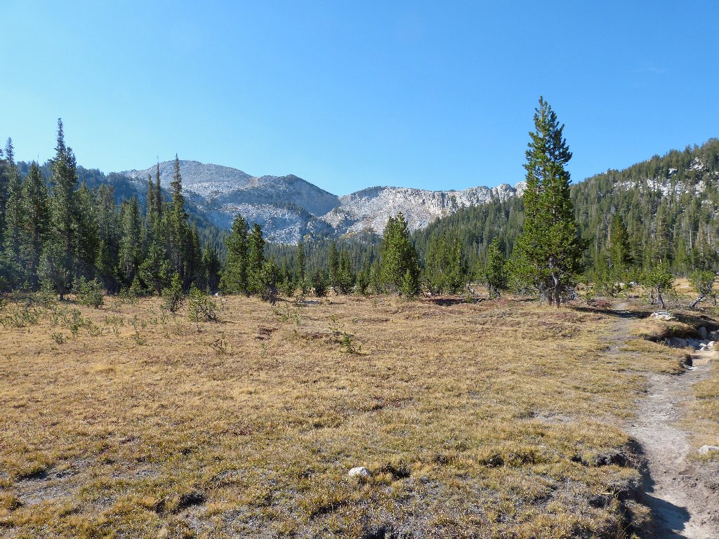
After a while, though, it seems as if I am not descending quickly enough on average to do much good. Needing to drop 1,800 feet altogether, I finally veer left, enduring some steep going in places, and picking up the Elizabeth Lake Trail more than a mile from the finish. Only now do I encounter my first hikers of the day.
Junction with the John Muir Trail near the parking lot
§: For my money, the access to Elizabeth Lake is the least
interesting trail in Tuolumne Meadows; but the environs of the lake
itself are worth the effort. Today I made a success of my
70th walk of the year —
yet another delightful exploration of an alternative destination that
most would not consider visiting.
The only problematical moment was in choosing where to start up the
hill behind Elizabeth Lake, but in retrospect it really didn't matter.
Also, I could have continued the downhill trek in a more northerly fashion
all the way to the four-way trail junction, and that might even
have been the easiest way to go. Somehow, the entire outing took
only about four hours. By that time, the general store was open,
although it closed for the season the next day.
| Scenery |  |
| Difficulty | |
| Personality |  |
| Adventure | |
| Solitude |  |
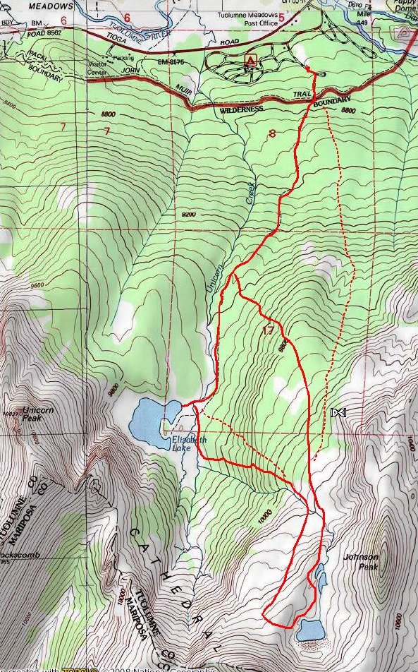
The dotted routes are recommended

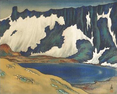
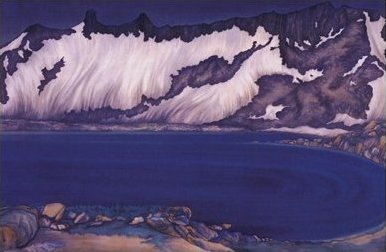
ADDENDUM
A number of Chiura Obata's works are featured in San Francisco's De Young Museum, the Oakland Museum, and the Smithsonian Institution. Although the artist painted numerous Sierra Nevada scenes, he seemed particularly attracted to this place, which henceforth bears his name as far as I am concerned. Here are three of his interpretations of Obata Lake:
First Prize at the 87th
Annual Exhibition at Ueno Park, Tokyo, in 1930
Read more about this special American here:
http://www.sullivangoss.com/chiura_Obata/
https://en.wikipedia.org/wiki/Chiura_Obata
UPDATE !!
In June of 2021, the state legislature dedicated the uppermost four-mile section of the
Tioga Pass Road as:
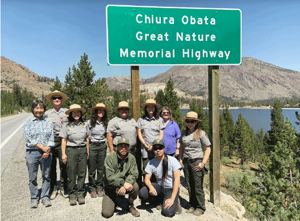
Read more on this topic here: [Chiura Obata Memorial Highway Dedication]
Of course, I'd like to say that this action resulted from someone having read this page,
but in fact the principal mover and shaker was Robert Hanna, the
great-great-grandson of John Muir. I actually attended a lecture by Mr. Hanna
at a neighborhood restaurant in Sacramento, in which he spoke about the successful efforts
to keep Mono State Park alive, at a time when numerous California parks were being
closed down due to "lack of financial self-sufficiency".
Mono County has done a fine thing here. Now, when the National Park Service
reciprocates and officially creates Obata Lake as directed by
Ted's World, the memorial will be complete!
