
Tahoe NF
|
Warren Lake Overlook Loop Tahoe NF |
July 19, 2012
For nearly forty years I have wanted to see Warren Lake, because it has
been so close to home, and because it is there. An old topo sheet shows
a two-mile trail from Carpenter Meadow just to the east, but that
route now is blocked by private property. Although a difficult
14-mile hike from Donner Summit would do the job, that option never
has been seriously considered.
There is another possibility, however, and this is the day for exploiting it. The only obstacle is the weather. It is totally overcast at the moment, and there might some rain or even a hailstorm; but having come this far, my sister and I will not be denied.
After making it down to White Rock Lake on a pretty bad road that causes
my Outback to bottom-out on several occasions, Margaret and I are all
set for what appears on the map to be a nice loop hike. After
tramping a few hundred feet south, we run into the anticipated trail that
leads eastward along the lake shore.

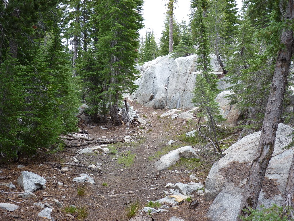
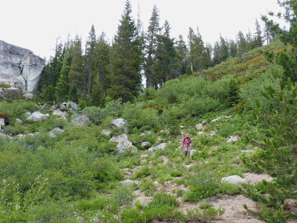
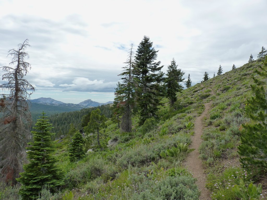
Getting started
Mount Lola, 9147', is the highest peak in Tahoe National Forest
So far, this little-used route is delightful, and the cloudy conditions make for good photographs of the abundant flora.
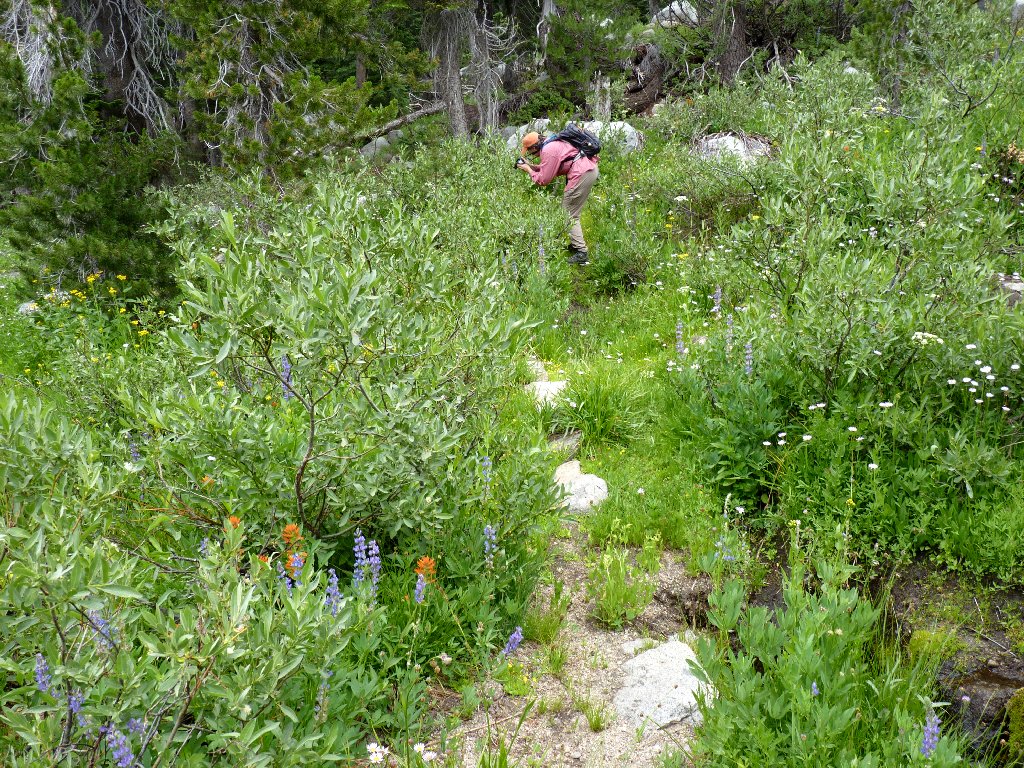
Stopping to smell the flowers

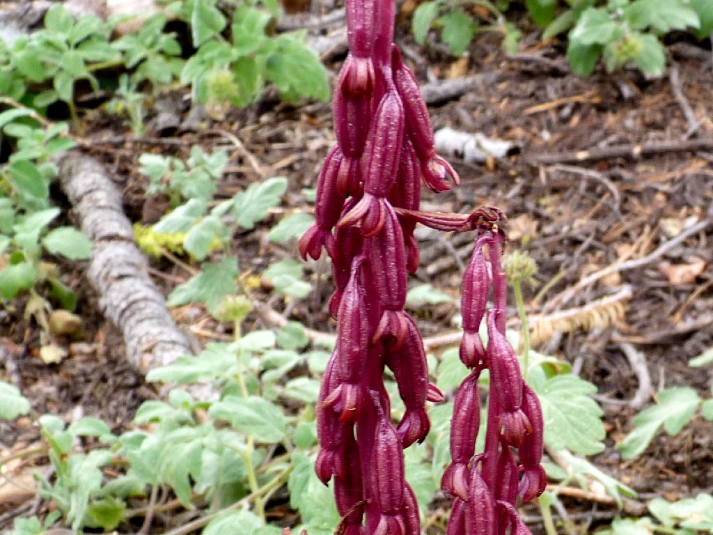
Elephant Heads
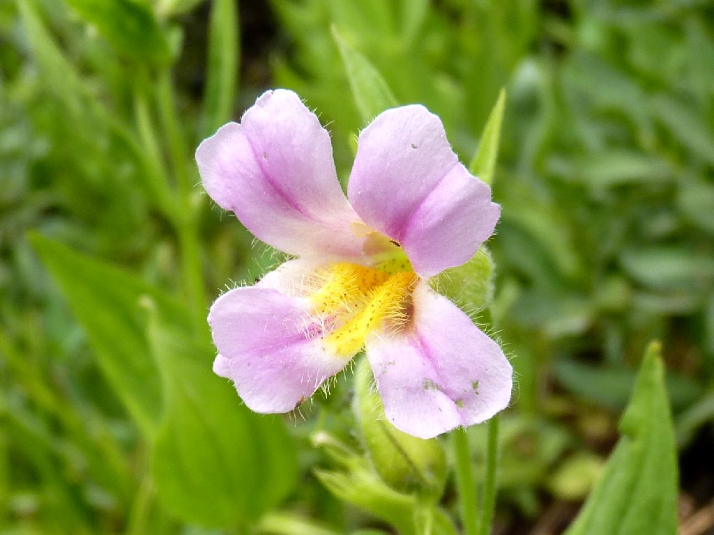
Great Purple Monkeyflower
Near the far end of the lake, we encounter a junction with the old Warren Lake Trail, which apparently originates in the Independence Lake area to the northeast. Turning right, we proceed straight uphill to a little pass.
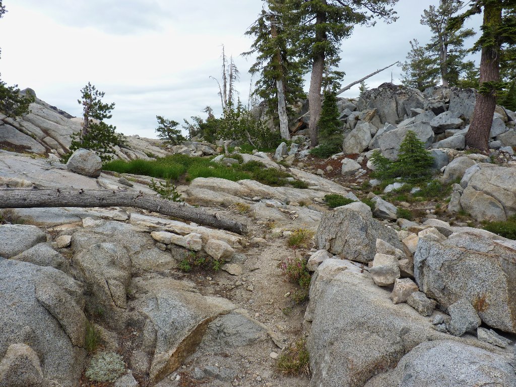
Back in the wonderful world of granite

Beware of the blob
Margaret and I start down the other side of the pass on what looks like a
trail; then I stop abruptly. Not only is the lake ahead of us in the
distance not the expected size or shape, my GPS says that we are on the east
side of Peak 8812, and the trail is shown as being on the west side.
I am happy that Margaret is amenable to venturing off the trail with
little prodding; of course, anyone who hikes with me with any regularity
learns to expect this sort of thing. Without hesitation, we take off
counter-clockwise around the hill.

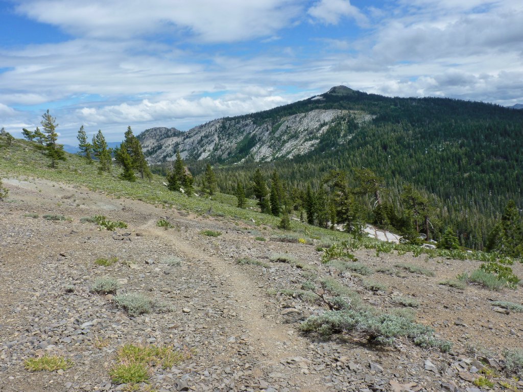
Skirting the high point

Sierra Buttes in the distance
As long as we are in motion, the mosquitoes don't bother us; so we tend to keep moving.

Margaret dubs this one, "Mosquito Lake"
There is another pass over on this side of the hill, providing some
great views. There also should be a trail around here, yet none
is to be found. After a false start on the barren western side of
the draw, we retrace some steps and head down the other side, hugging
the slope of Peak 8812.
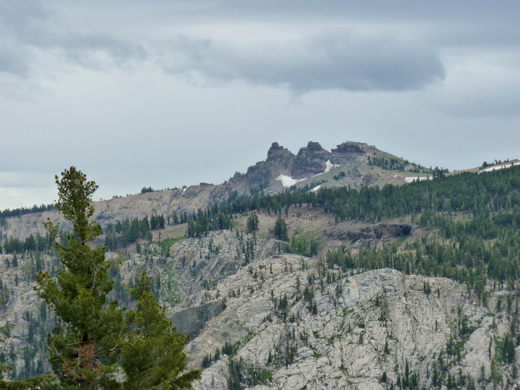
Castle Peak is three miles to the north
The primary destination is the granite ridge just east of Paradise Lake, from which Warren Lake should be visible far below. That area is in view now; so we proceed straight downhill toward it, taking the path of least resistance.

Shasta Buckwheat

Easy cross-country down that hill
Paradise Lake is getting closer; Warren Lake remains out
of sight in that deep canyon
In the little depression above that lake is Devils Oven Lake, yet it cannot quite be seen from here. I intend to get a view of it, though, on a future outing.
From here there is no easy way to remain high enough to access the top of that granite bridge, so we decide to drop directly down to the use trail beside the lake and proceed from there. It is quite steep in here, yet not very difficult.
I see a trail down there
Almost off the steep hill
Accessing the shoreline trail immediately puts the two of us in a lush garden. Continuing among the tall ferns and multitudes of flowers, the path peters out at the back side of the lake where a big boulder blocks the way.
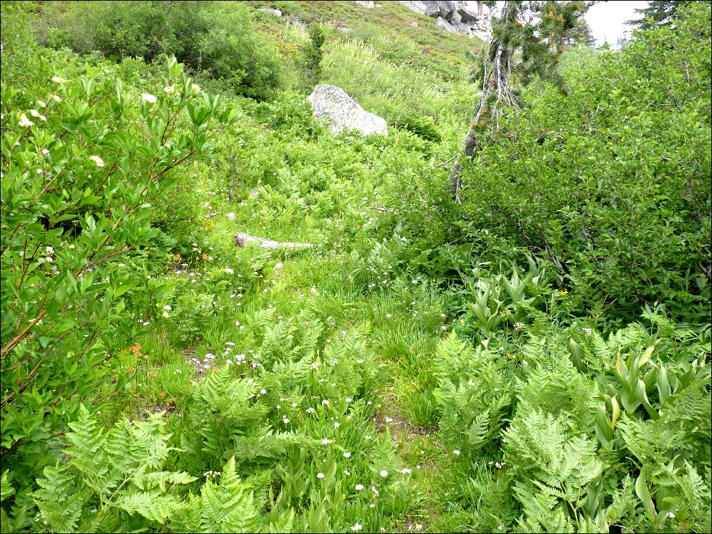
Walking through Paradise Garden

Alpine Lilies
My basic objective has not yet been achieved, however. I must get atop this granite ledge. The only route available involves a bushwhack through some manzanita, followed by a bit of rock climbing; so we do that. Another five minutes of scrambling across the slabs begets a suitable viewpoint. Being some distance from water, we are not being pestered by mosquitoes over here.
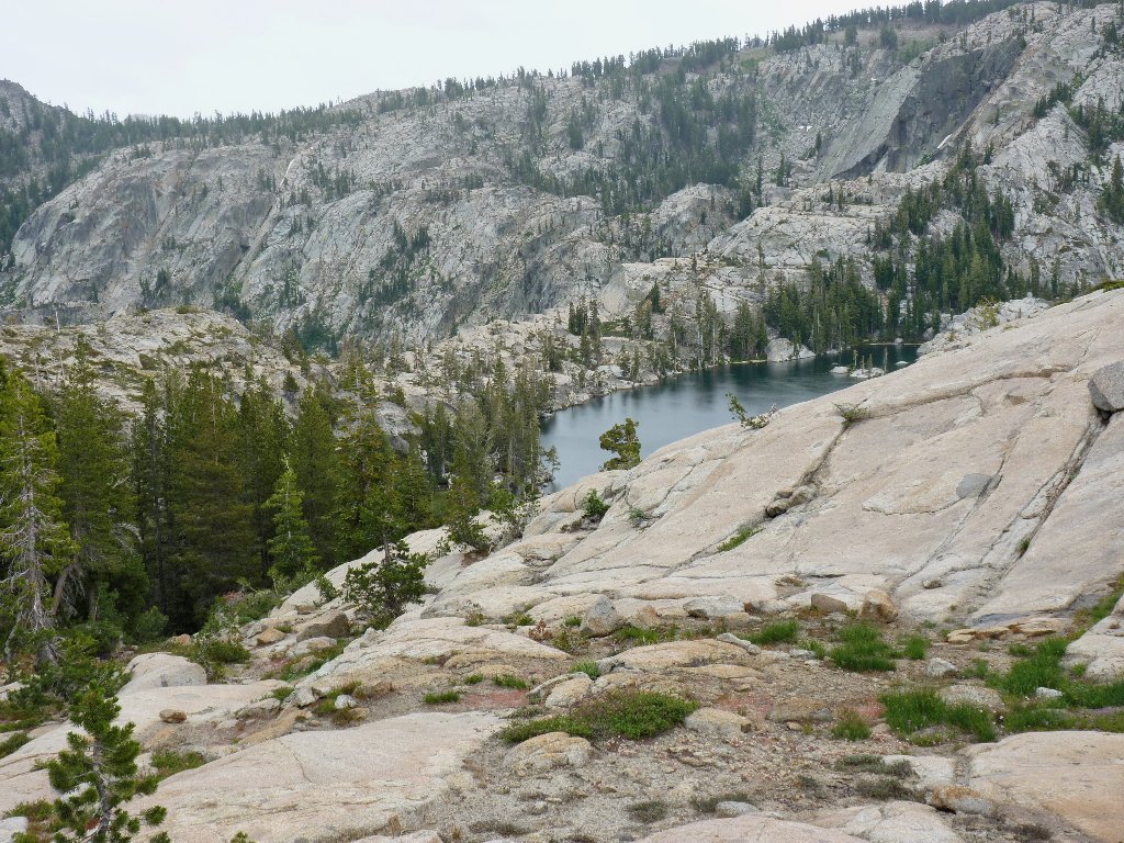
Suddenly, I realize that Margaret and I are standing on the Great Western Divide, which demarcates the two primary water drainage systems. The Paradise Lake outlet flows into the South Yuba River, thence to the Sacramento River and the Pacific Ocean, while Warren Lake drains into the Truckee River and the Nevada desert. This place is just like the spot between Penner and Culbertson Lakes (Hike #8); yet here the elevation differential between the two lakes is even greater, at 518 feet.
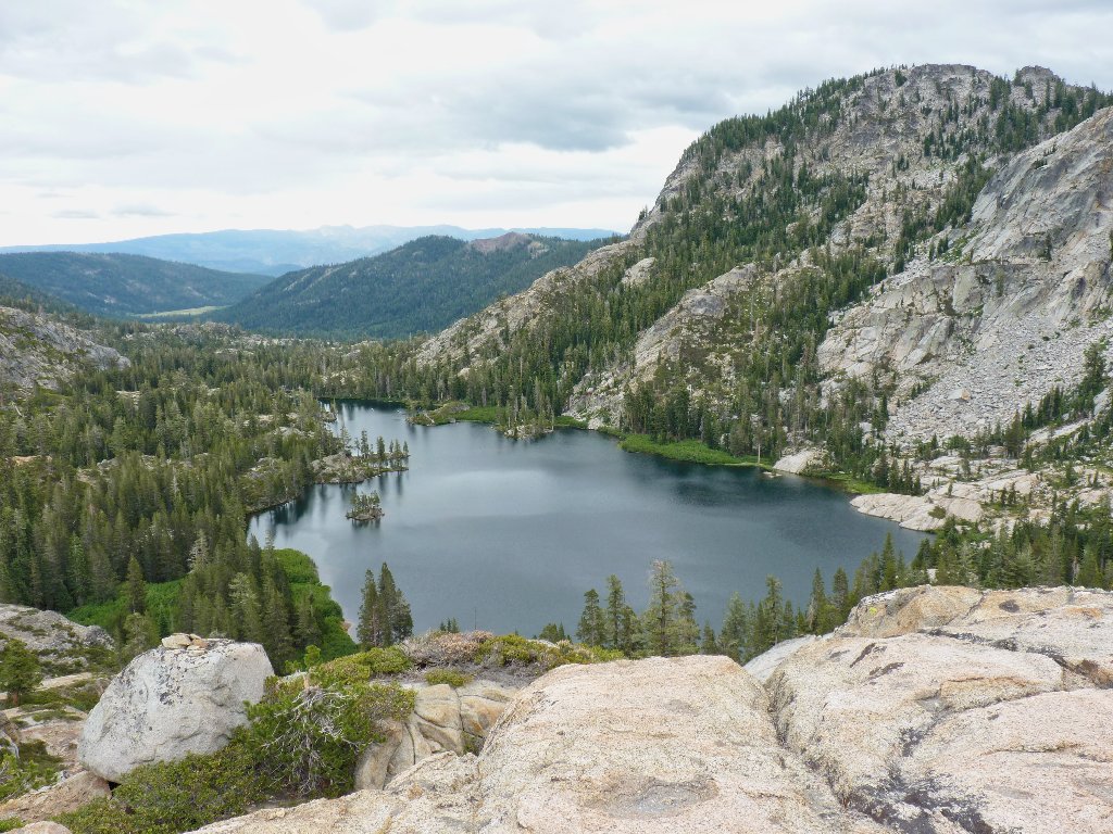
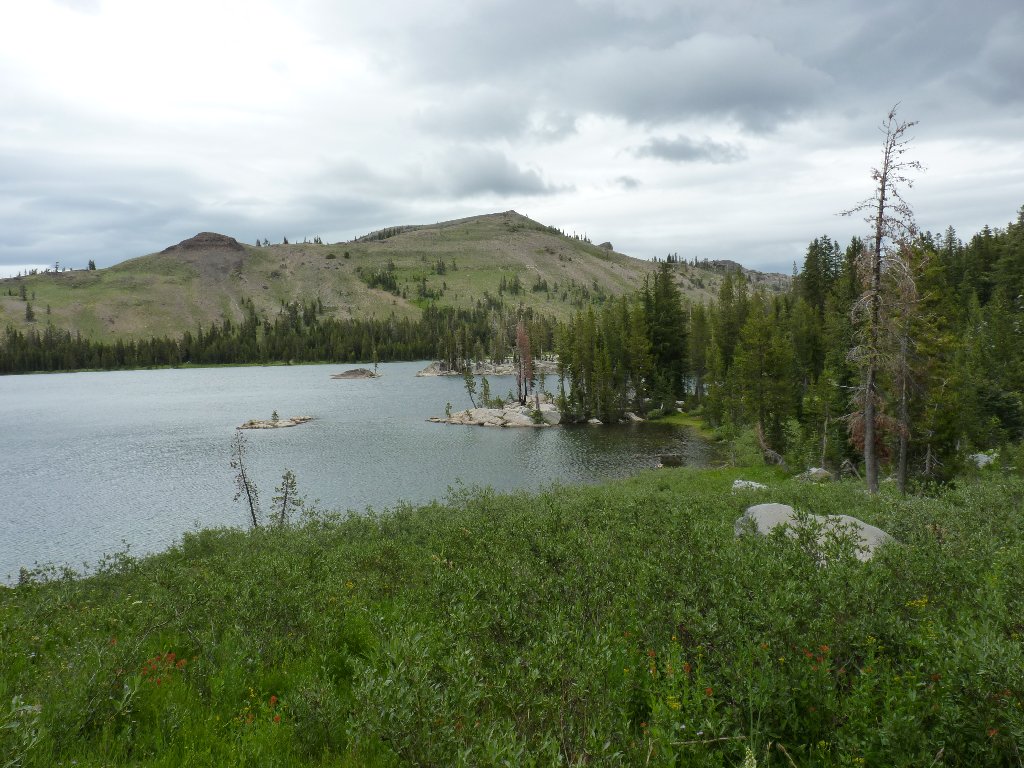
Warren Lake is every bit as photogenic as I had anticipated
I can see Mount Rose in the distance. Having originally planned to climb that peak today, I am glad that we opted for something else; a nicer day would be more suitable for that venture up near 11,000 feet.
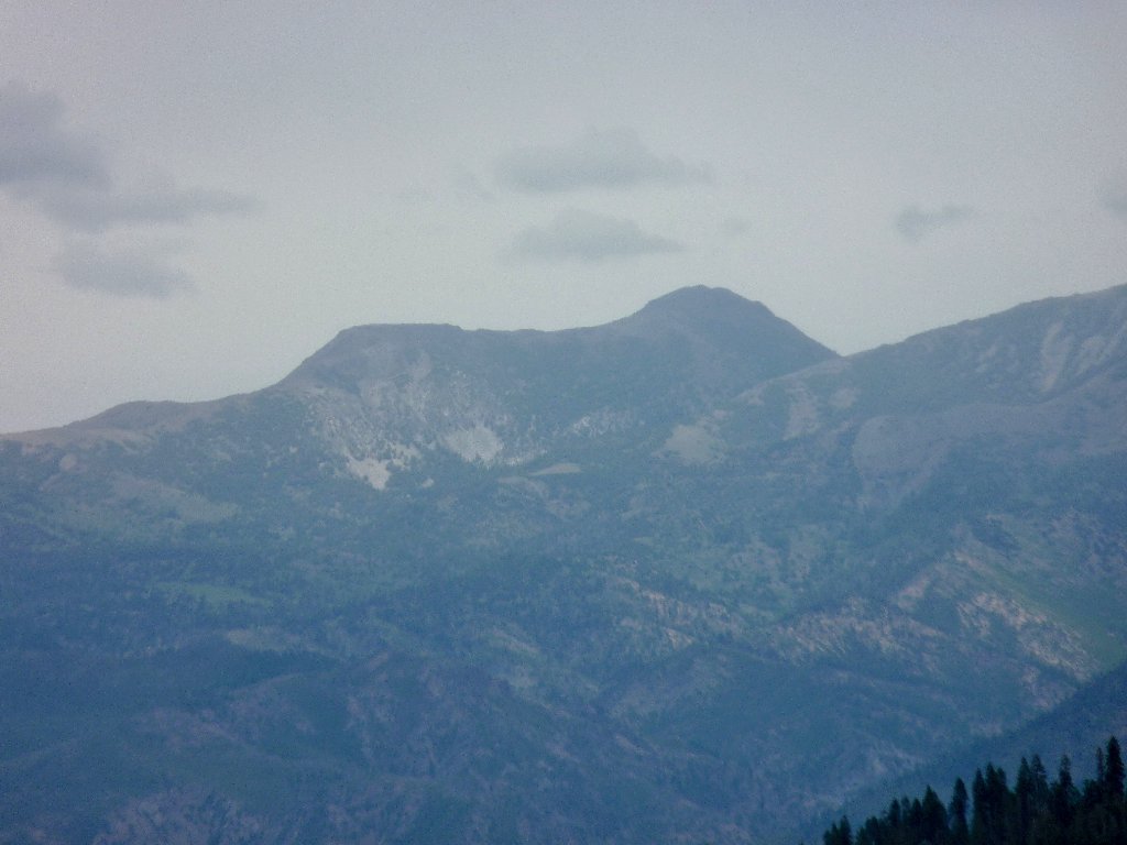
Mount Rose is 25 miles away
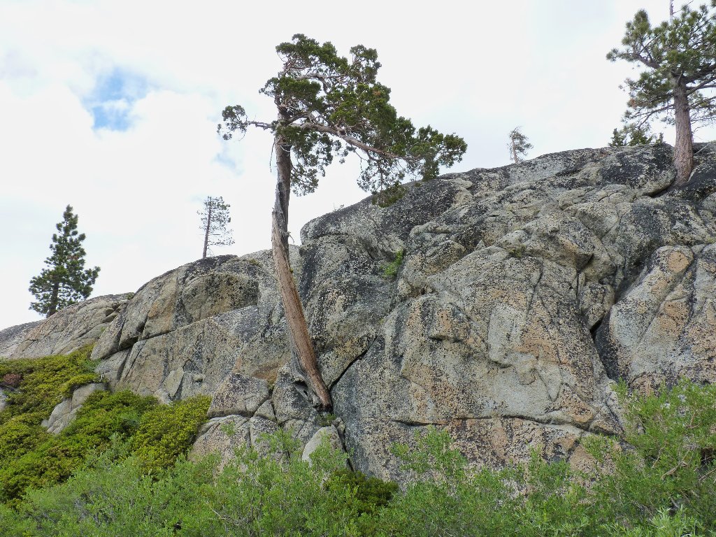
This tree grows right out of the rock
From here, we need to get to the other side of Paradise Lake. Retracing our steps through the garden is an option, but exploring new territory always appeals as well. We will see whether there is a way around the far side of the lake.

The southernmost corner of Paradise Lake
There is indeed a path available; unfortunately, it does not veer back near the water itself, so we will not see this lake again. Shortly, we are on an old road heading west.

Finding a way

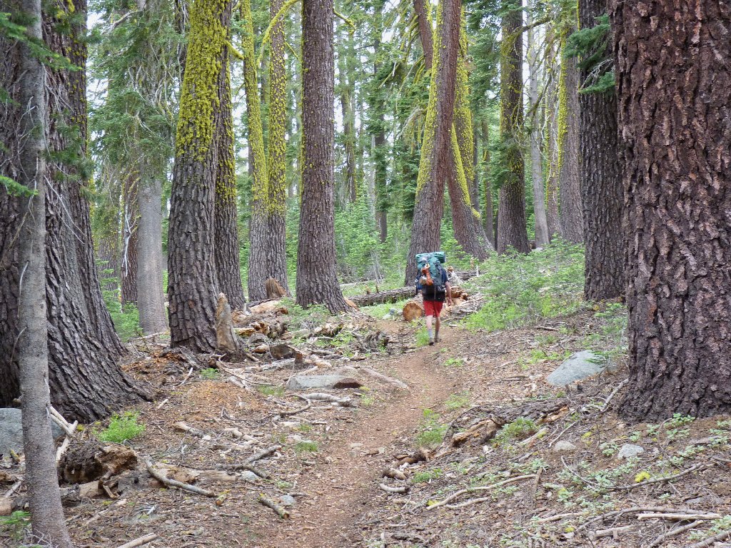
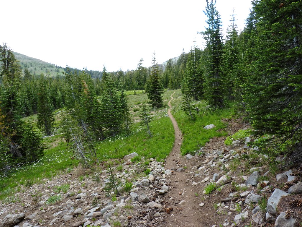
Back on a real trail at last
Sporadic raindrops are hitting us now. Margaret puts her camera into a plastic bag, while I stash mine inside my poncho. I sure hope that it doesn't begin raining for real.

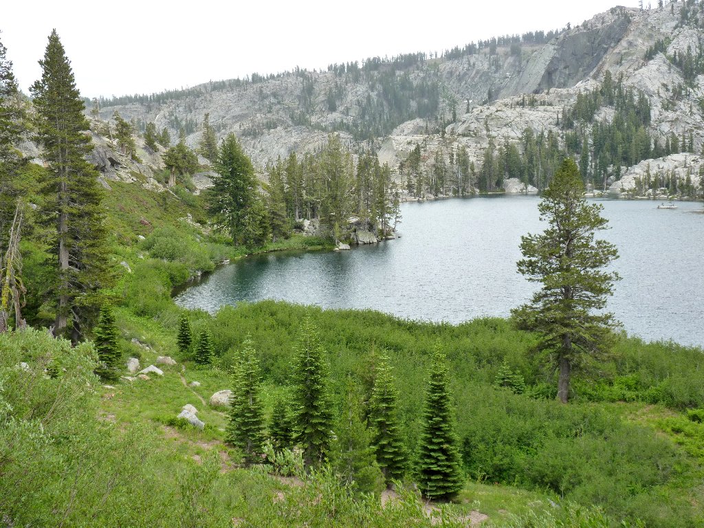
Paradise Meadow is in splendid form today
We need to watch for a critical junction. Just before reaching the pertinent GPS waypoint, a lone backpacker coincidentally emerges from the forest, informs us that he is on the Pacific Crest Trail, then continues northward. We do the same.
On his way to the Feather River

Marching up the PCT

Paintbrush
Spotted Coralroot
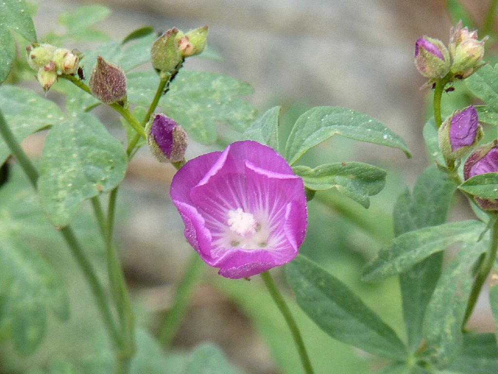
Checkerbloom
The trail begins switchbacking up the hillside. At least one blogger has mentioned (correctly) that the path could easily have been routed around the side of the mountain, but no; I guess that "Pacific Crest" means, "visit the crest".
Red Peak and Old Man Mountain to the west
Behind us is a last view of the marvelous granite basin housing Paradise and Warren Lakes. Up here, the sun peeks through the clouds momentarily, but not long enough to enhance any photographs.
Basin Peak to the south

Sulfur-flower Buckwheat
Beginning the final downhill trek
According to the GPS, the next trail junction is .25 miles
distant. Wait a minute! Now it says .30 miles, and
soon it reads .33 miles. It seems that we have passed the
junction without knowing it, and are heading the wrong way. Deciding
to trust my Garmin, but being loath to backtrack that last third of a mile,
we depart the PCT and begin another cross-country venture directly
toward the device-designated location of the trailhead.
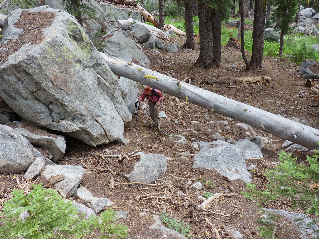
Tunnel tree
Soon we pick up the elusive abandoned trail. Although no evidence
of a lake is in sight, we plod along trustingly —
.30 miles, 900 feet, 400 feet. Nothing but deep forest.
It is not until the gauge reads about 200 feet that I finally spot the dam,
indicating that we have indeed found our way back. Chalk up a victory
for my Foretrex 401.
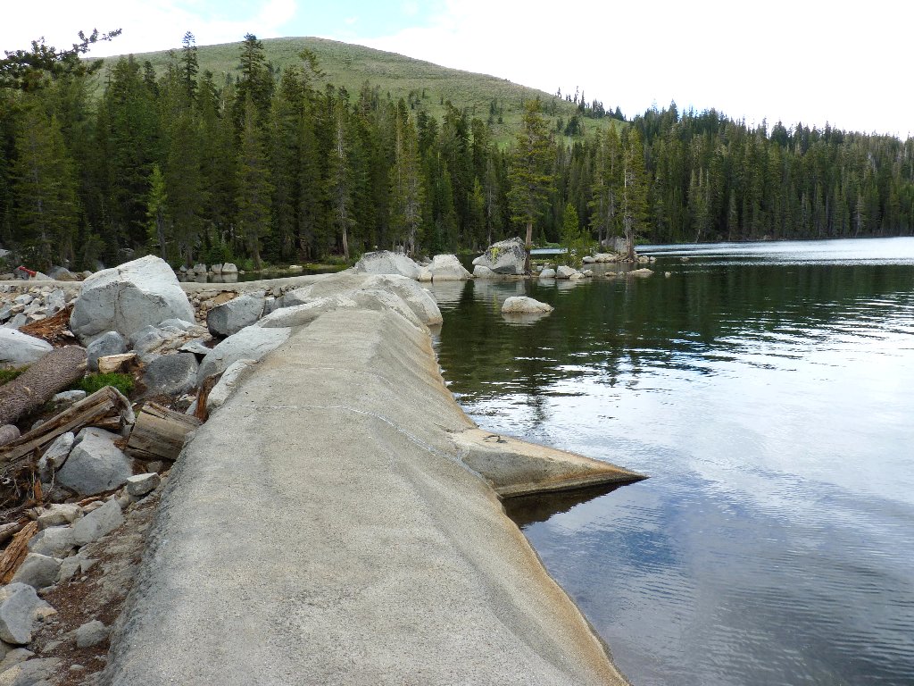
White Rock Lake Dam
§: Had the weather been better, I would have arranged for better
photographs of beautiful Paradise Lake. As it was, I did finally get an
introduction to Warren Lake; moreover, virtually every foot of today's route
was in a flower garden, and we didn't get caught in a storm, and we only got
'lost' a little bit. This mission was an unqualified success.
For any hiker with the inclination to descend another 800 feet to the shore of Warren Lake, the views of the surrounding granite cliffs doubtless would be spectacular.
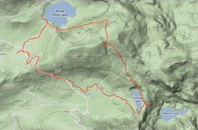
Margaret's iPhone produced this map of today's route:
| Scenery |  |
| Difficulty |  |
| Personality | |
| Flowers |  |
| Weather |  |
| Solitude |  |

ABOUT MY GPS
Specifications for the Garmin Foretrex 401 are readily
available on other websites. Before you rush out to purchase one,
however, consider the following first-hand observations, many of
which you won't find elsewhere.
PROS:
CONS:
I purchased this model primarily because the screen display has a
lower pixel-count than on most other units. Although my
Garmin eTrex Vista HCx is technically superior in almost
every way, my tired eyes have difficulty reading its diminutive type
without the aid of reading glasses, which for me is an unacceptable
scenario. The Foretrex solves that problem. Also, the unit is
designed to be worn on a wrist; but the strap is easily removable,
and I prefer that.
A 2013 firmware upgrade had the following effects:
* Not fixed. Trip mileages still run about 10% high, but at least they are predictable.
** Mostly Fixed. Elevation gain and loss readings are more consistent, but I believe that they still run a bit high.
*** Fixed! This error was highly disturbing. Waypoints were being assigned incorrect and duplicate ID numbers, resulting in confusing and bogus readings that could be off by as much as a hundred miles or more. That made it impossible to, say, mark a trailhead location and then find it later. The upgrade seems to have eliminated that problem.
This firmware upgrade has satisfied me to the extent that the Foretrex 401 remains in my pack as of 2020. Printed topo maps with waypoints liberally marked on them solve my routing issues; the only drawback to this system is that one's current location cannot actually be 'seen' on the map.
To perform an upgrade, don't expect any online assistance. I cannot
speak from experience; but Garmin's user-support is rated as abominable,
and you don't need it anyway. Just download the appropriate upgrade file
and follow the simple instructions.
