Tahoe NF
 |
Devils Postpile North Tahoe NF |
November 1, 2009
Last August I hiked to Devils Postpile National Monument near Mammoth Lakes; and in September, I visited Little Devils Postpile beside the Tuolumne River in Yosemite. Today I plan to score my third such formation in a single season.
Accessing this place involves a 55-mile out-of-the-way drive off
SR-49 north of Camptonville. After turning onto Eureka
Diggins Road at the Cal-Ida Campground, a pretty waterfall
appears beside a bridge. A sign admonishes everyone to stay away,
because the attached flume conveys drinking water to a nearby community.
Opting for the right-hand fork after a few miles, I continue on Eureka
Diggins Road, also signed as Forest Road 25. My fancy new National
Geographic map shows this route as entirely paved; but in fact the asphalt
disappears about fifteen miles in. The road is very well graded, however,
so it's not much of an issue; yet I am disappointed in the misleading map
specs. (It so happens that the N.G. series maps mark many back roads
similarly. Even though the map's legend specifies "paved",
many sections are not.)
The road narrows in cramped Reese Ravine, yet it remains nice and smooth.
Eventually a signpost for Devils Postpile points to the right. Shortly up
that side route is a convenient parking spot; but I ignore the little marker
with the hiker symbol on it and barge blissfully ahead. After a few dozen
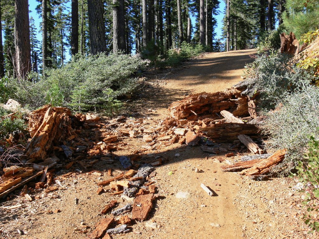
bushes have scraped the sides of my Outback, a fallen log suggests that I will
be traveling on foot from here. It is but a quarter-mile walk to the
official trailhead.

End of the drive

This must be the way
After hiking for just ten minutes, the trail seems to disappear. An upward glance behind some trees solves the riddle, however; for it seems that I already have arrived!

Devils Postpile, 5948' [see Addendum]
This formation is wonderful! Located on the western flank of Deadman
Peak, its jaunty profile is more distinctive than that of its world-famous
big brother, and this one offers free admission as well.
The basalt columns — weathered remains of a prehistoric lava
flow — seem to defy gravity. I do believe that
they resemble the hero's ice palace in the Superman movies.
(Or maybe I've been spending too much time alone in the wilderness.)

Around the left side

Up close and personal
It is time to head back, for a mountain top awaits me down the road. On the return, I observe that the fallen log blocking the path is totally rotted; I could easily have kicked it out of the way. Oh well, it's not as if I needed to avoid some additional exercise.
I opt to continue a counter-clockwise auto loop, knowing that it might well
be gravel all the way back. After FR-25 morphs into FR-35,
however, the last twelve miles are paved after all.

The only muddy section in 30 off-road miles
§: After viewing the unexciting offering in Tuolumne Meadows
last month, I was most pleasantly surprised by the beauty and condition
of this postpile. Also, I highly recommend that you complete the
loop option down Cal-Ida Scales Road (25 and 35).
Being very nicely graded and well-marked throughout, I found it
a delightful excursion.
Despite warnings from certain writers, finding your way through the maze
of road junctions is easy — provided that you can read.
Just heed the wealth of signs posted by the Forest Service, and stay on
FR-25 until you see the turnoff for Devils Postpile.
In contrast to that, the advertised distance for this hike is just
.2 miles each way; yet one cannot realistically reach the signed
trailhead in a passenger car. In fact, "Autos Not Recommended"
signs are posted to that effect. Just park at the obvious place
and walk the extra quarter-mile, unless you are driving an ATV.
| Scenery |  |
| Difficulty |  |
| Personality |  |
| Solitude |  |

ADDENDUM
In 2015, the head of the Graphics Department for the San Francisco Symphony inquired about using the photo of this postpile as the cover for an upcoming CD of a Beethoven concerto. I would, of course, have been delighted; but they ultimately opted to use something else. Pshaw.