Edwards Crossing, Tahoe NF
 |
South Yuba River Trail Edwards Crossing, Tahoe NF |
October 21, 2008
Nevada City is gorgeous today. A stroll about town amid the fall colors
and Halloween decorations proves most nostalgic, as I had previously lived here
for a total of six years. A reminder of one reason for leaving is that the
house I had sold for $72,000 in 1983 is on the market again —
at $600,000.
Hoping to see some additional autumn flora, I set out upon the South Yuba
River Trail, this portion of which runs westward from Edwards Crossing.
Within a couple hundred yards, the path enters state park property.
Subsequent no-trespassing signs warn hikers not to stray from the
path toward the water.
Having nowhere else to go, the route parallels the river, albeit high above it. About a mile into the walk, I encounter a party of seniors. They grill me for information, of which I am able to provide just a little. The only person in the group under sixty years of age is the only one with two walking sticks. Go figure.
The trail is shaded throughout the walk, and the going is easy.
Because the steep southern wall of the canyon partially blocks the
late-season sun, the river itself is mostly in the shade as well.

The trail is cramped but well-maintained
About two miles down the path, I decide to turn back. My body
is enjoying the walk, but there isn't much here in the way of autumn
splendor. As mid-afternoon approaches, more sunlight enters
the canyon, providing better views. It actually is a bit on the
warm side now.
Of course, no flowers are around at this late date; yet some interesting
photo-ops are available.

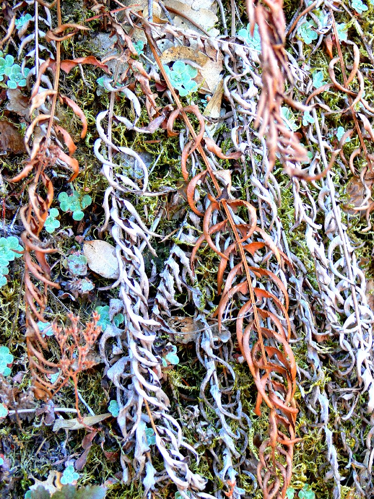
Nice patterns in the Sword Ferns
Out of the corner of my eye, I spot a yellowish object rapidly approaching
from behind. Whirling around with a startled exclamation, sharp walking
stick at the ready, I am greeted by a little cougar-colored dog which
immediately begins yapping like mad. It is followed by two more doggies
and a young man on a unicycle, of all things.
Sitting down to say hello to the animals, I am too busy gathering my composure to think of taking any pictures. After apologizing for the surprise encounter, the rider zooms rapidly out of sight on one wheel.
Presently the roadway reappears, signaling completion of my trek. The river area on the other side of the bridge once was a favorite swimming hole of mine; but it has been destroyed by gold panners who blew up the place. Just a few miles to the north is Malakoff Diggins State Historic Park, California's biggest and most infamous hydraulic mining site.
The seven oldsters, enjoying lunch on the sunny north bank, are joined by the crazy cyclist and his three companions.
§: I recommend that you begin this walk well after noon; the river
views will be more attractively sunlit, even as the trail remains shady.
| Scenery |  |
| Difficulty |  |
| Personality |  |
| Solitude |  |