Inyo National Forest
|
Mount Whitney Trail (Part) Inyo National Forest |
September 20, 2023
My first Eastern-Sierra outing of the year was long overdue; but here I am finally,
with my buddy Gary from the mountains above Bishop, on a mission to the famous Alabama
Hills. This well-known site of dozens of old western movies also happens
to sport the world's third-greatest proliferation of natural arches —
an estimated 300 of them.
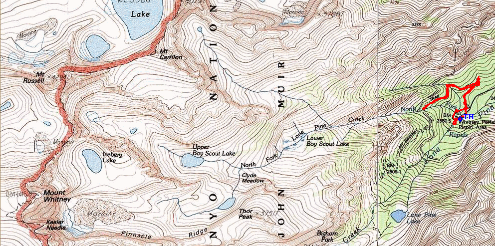
Prairie Sunflowers reach toward Mount Whitney
I already have posted likenesses of several local specimens, but I have yet to
visit Whitney Portal Arch, one of the bigger and better ones. Having located the
normal trailhead on Whitney Portal Road, Gary and I promptly discover that the going
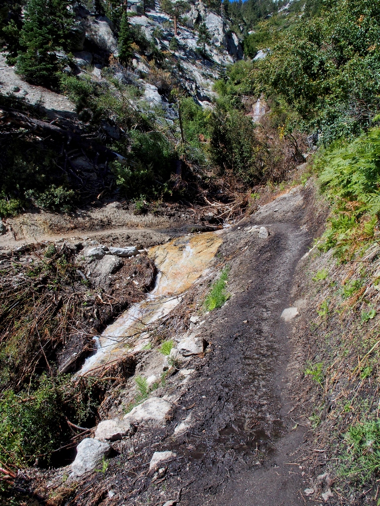
will not be so easy today. The runoff from this year's record-setting
snowpack has seriously eroded the big wash that must be crossed immediately,
rendering a crossing quite problematical; and at some juncture the former footbridge
was trashed as well.
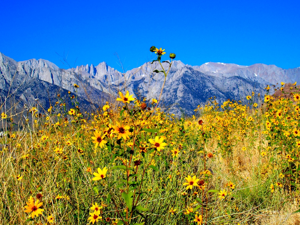
A crossing is doable, but Gary and I are not that desperate
We drive to a nearby access-point, but conditions are little better there.
The arch is less than half a mile away, but...
Fortunately for us, Plan-B is available. Gary and I will proceed up to the end of the road, and climb Mount Whitney! Or at least part of the way, that is.

It so happens that the Whitney Portal Trailhead is the same elevation as Gary's
mountain cabin — about 8350'. The John Muir Wilderness is the most
heavily visited such area in the nation because, for so many hikers, a trek to the
tallest mountain in the lower-48 is the ultimate must-do endeavor.
Not surprisingly, that fact has necessitated visitation limitations; now, a permit to
enter the wilderness 'Whitney Zone' is the most coveted such item in the country.
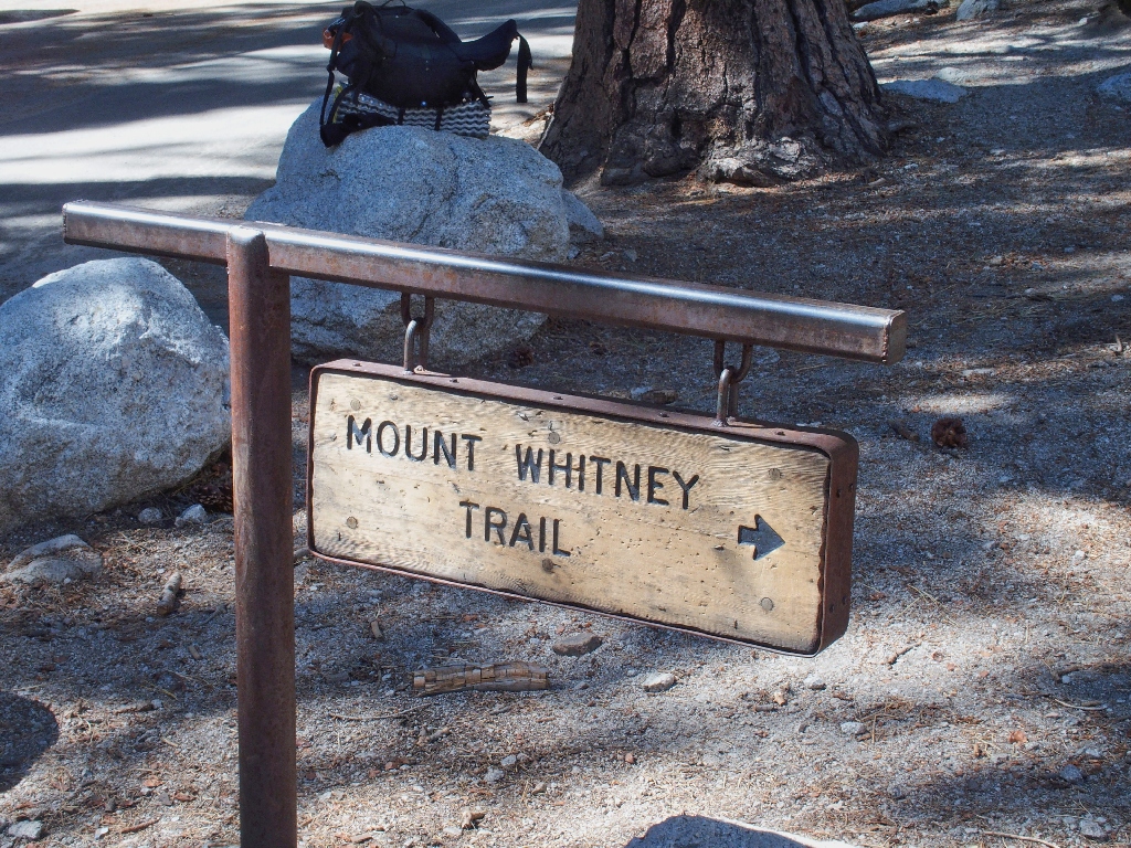
Gary and I will not be hiking far enough to encroach upon the permit zone
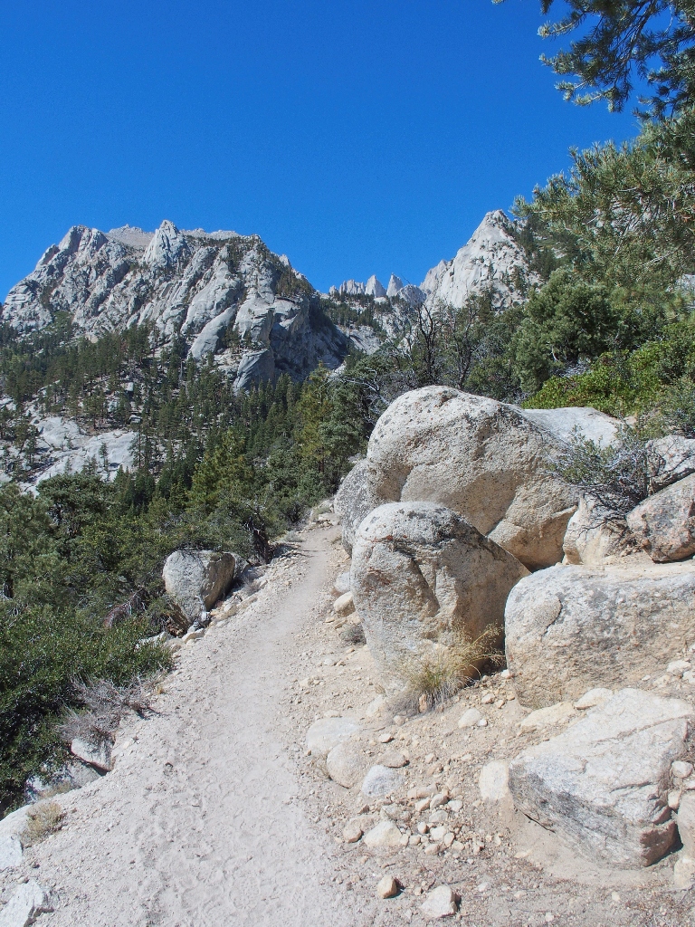
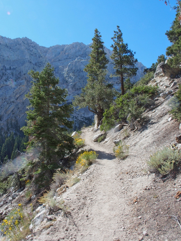
It's not an easy trail! ⇔
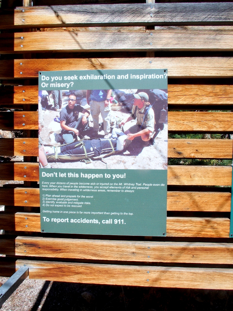
Many folk do conquer Mount Whitney in a single long day — a 21-mile,
6200-foot round-trip. I knew these things long before permits were
even needed, yet somehow never got around to it; now I am too long in the tooth,
and shame on me for that.
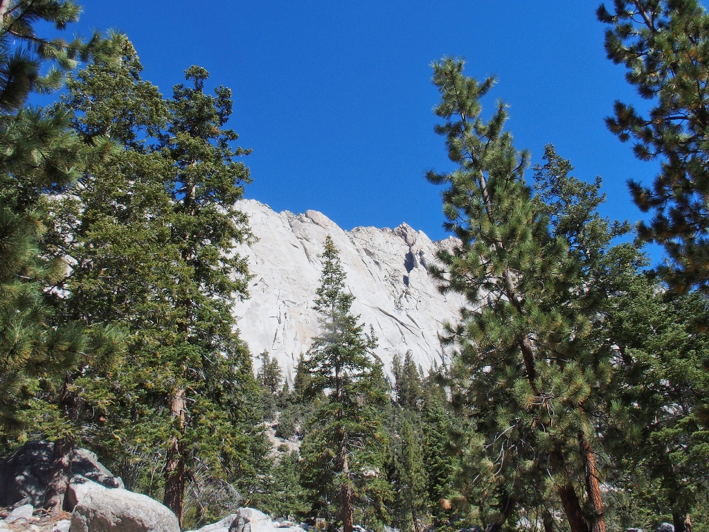
Trailside cliffs
Get 'em started early! I love it
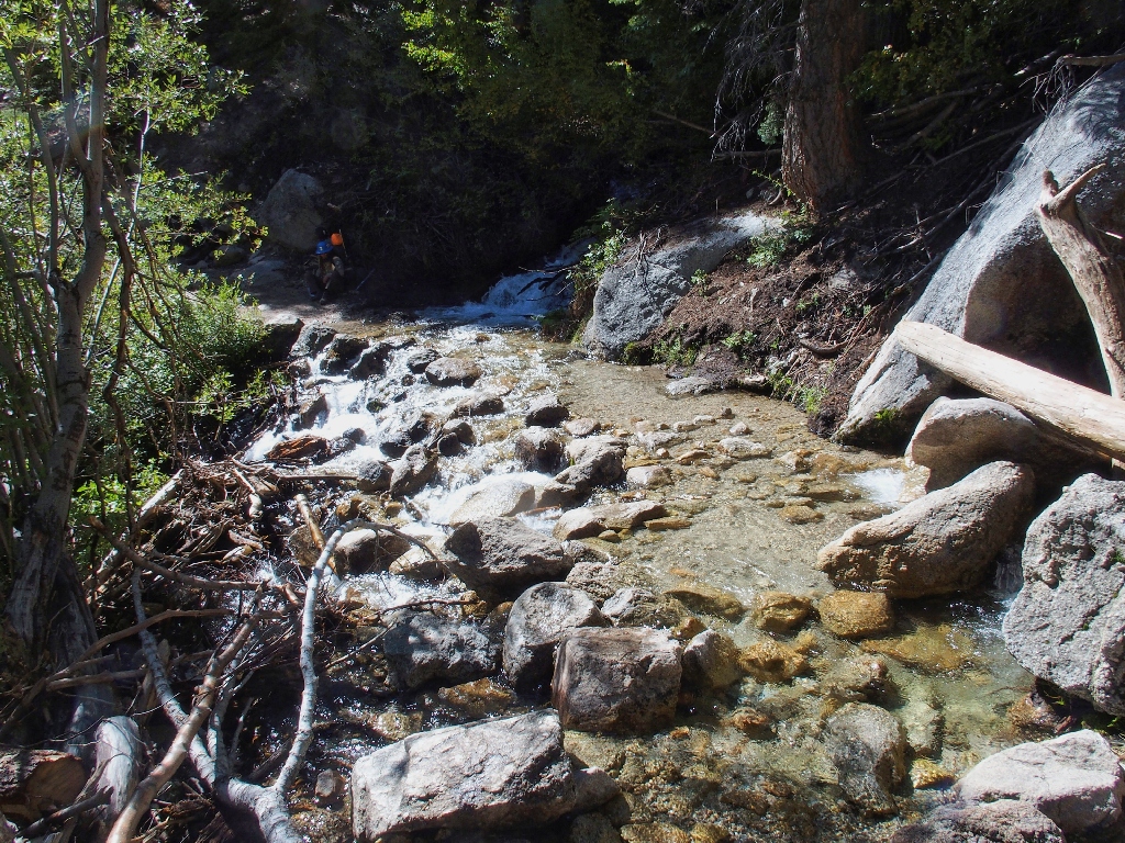
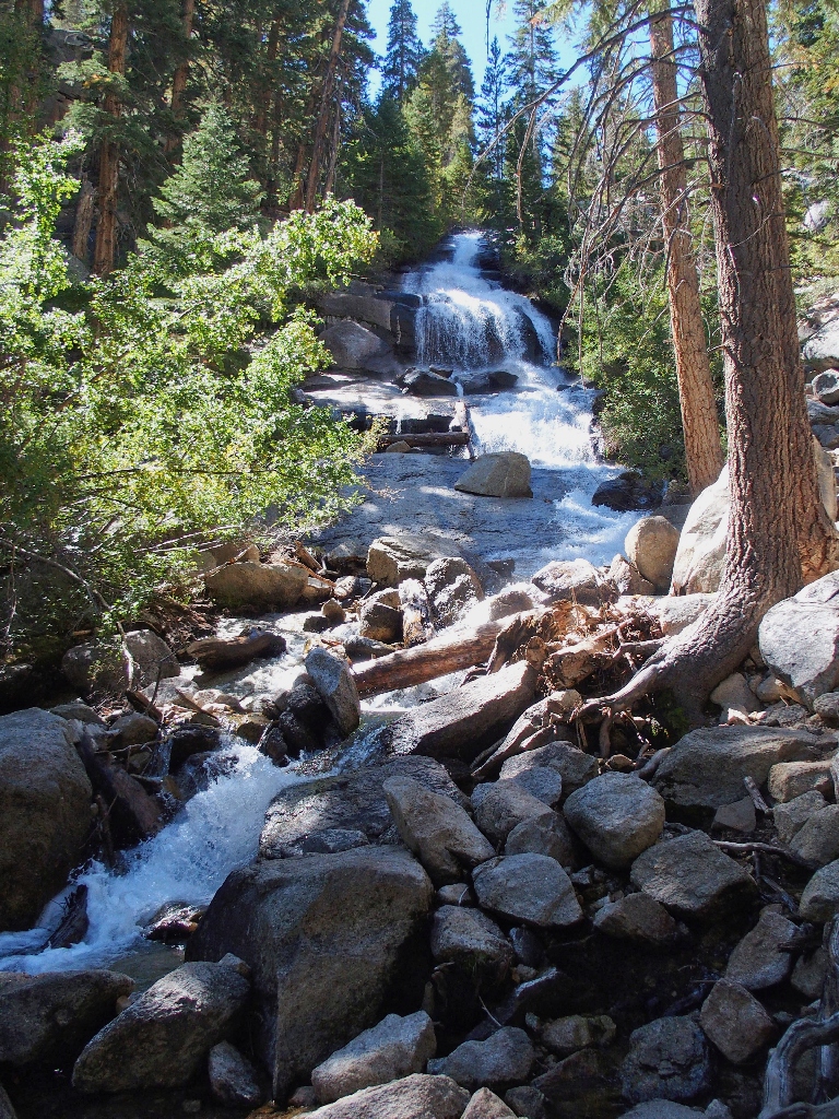
Lone Pine Creek is cascading noisily
I wish that the trail were closer to the water.
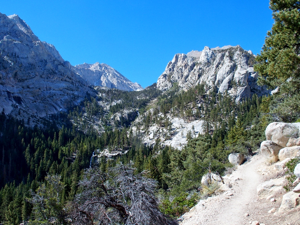
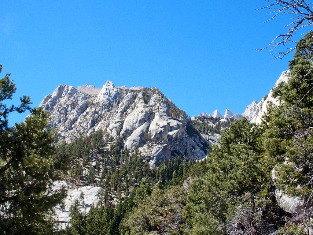
Whitney is barely visible, 6,000 feet above
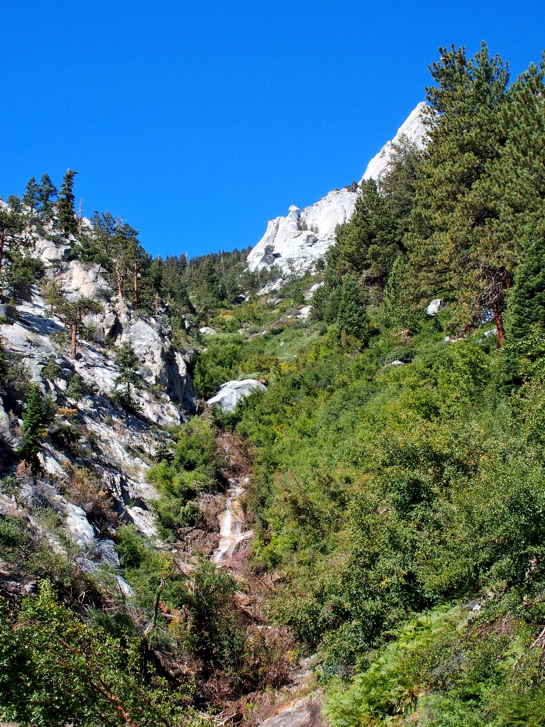
North Fork Lone Pine Creek
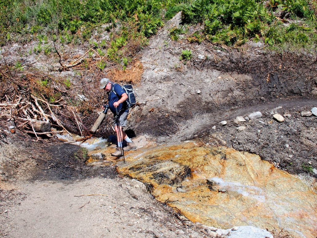
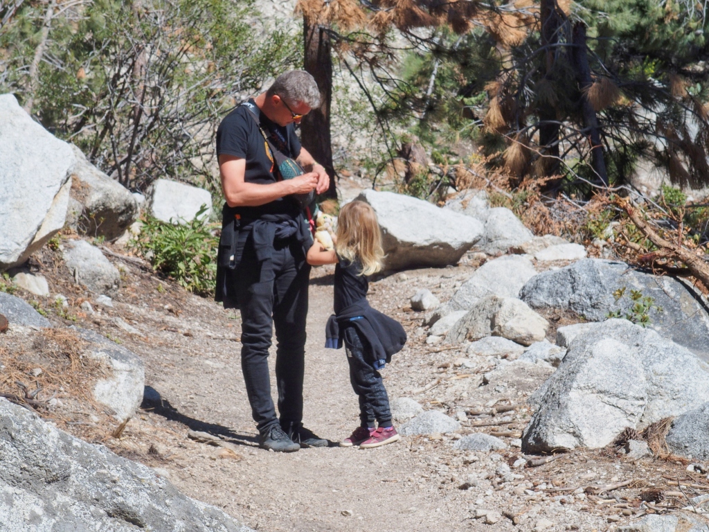
Gary at the crossing
Presently two trail-maintenance workers pass by on their way down, both carrying heavy metal tools as well as their backpacks.
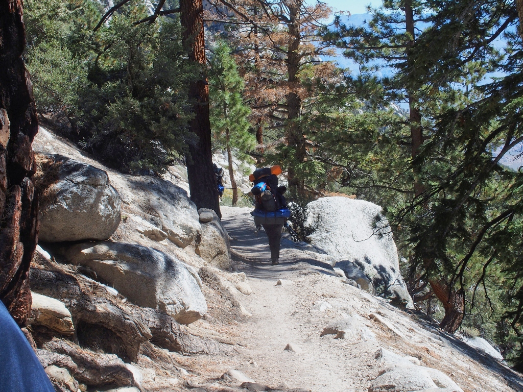
That's a big load
Presently, we enounter a tricky stream crossing; in fact, half of the water is flowing down the trail itself. It can be negotiated without getting one's feet wet, but we opt to terminate our trek here. The nearest 'destination', Lone Pine Lake, is another 1,200 feet above us; and Gary's recent bout with Covid isn't helping the cause. He would be pleased to have me continue, but doing so doesn't seem important at the moment.
Another trail worker is resting across the way
Now that the return-leg has commenced, I can concentrate more on photographs.
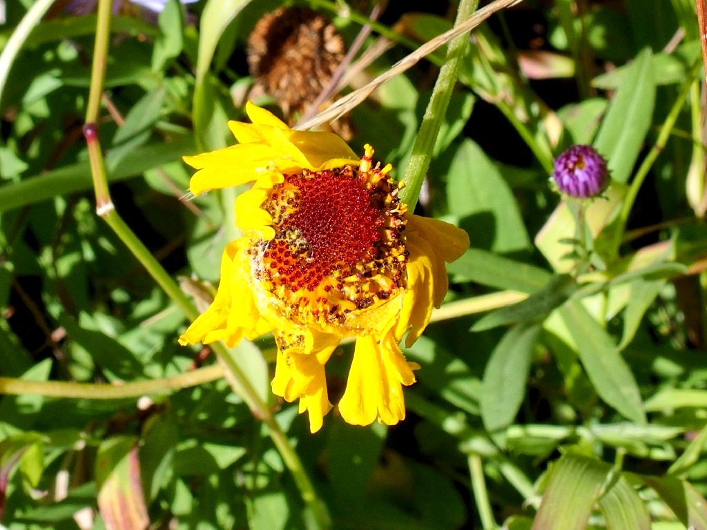
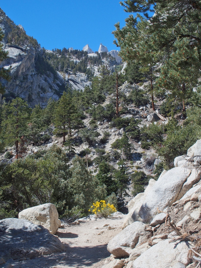
Bigelow's Sneezeweed
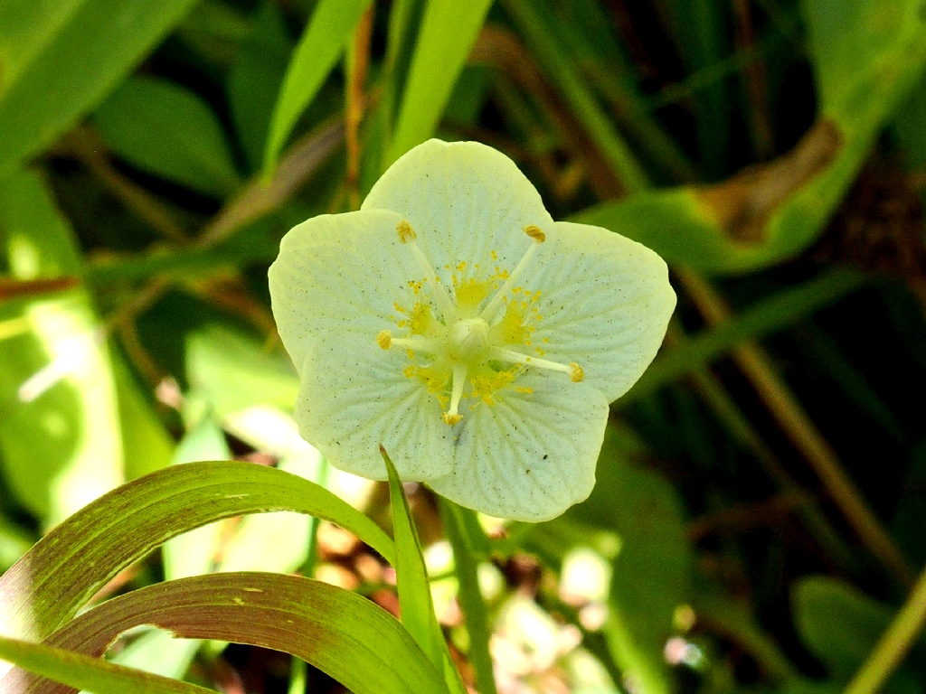
Grass of Parnassus
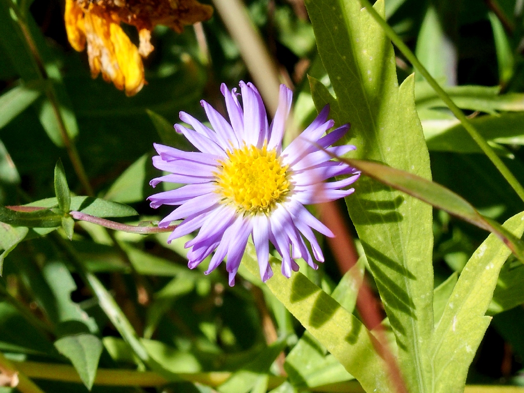
Leafy Fleabane
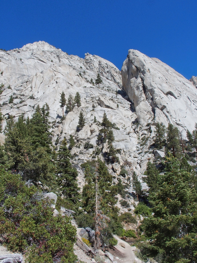
Whitney Portal Buttress
Back at the North Fork, the two trail workers have stopped, presumably to await their
companion. The woman admits to carrying an 80-pound pack, which is more than
40% of her body weight; and that's pretty amazing. When I last did a Half Dome tour
(Hike #135), I carried about 20%
of my weight to and from the campground, and didn't like that load at all.
The woman worker also says that they have been in the back country for several months, supplied by mule pack trains. Gary and I are gratified to learn that they are decently paid and even earn college scholarships and other perks. They certainly deserve them.
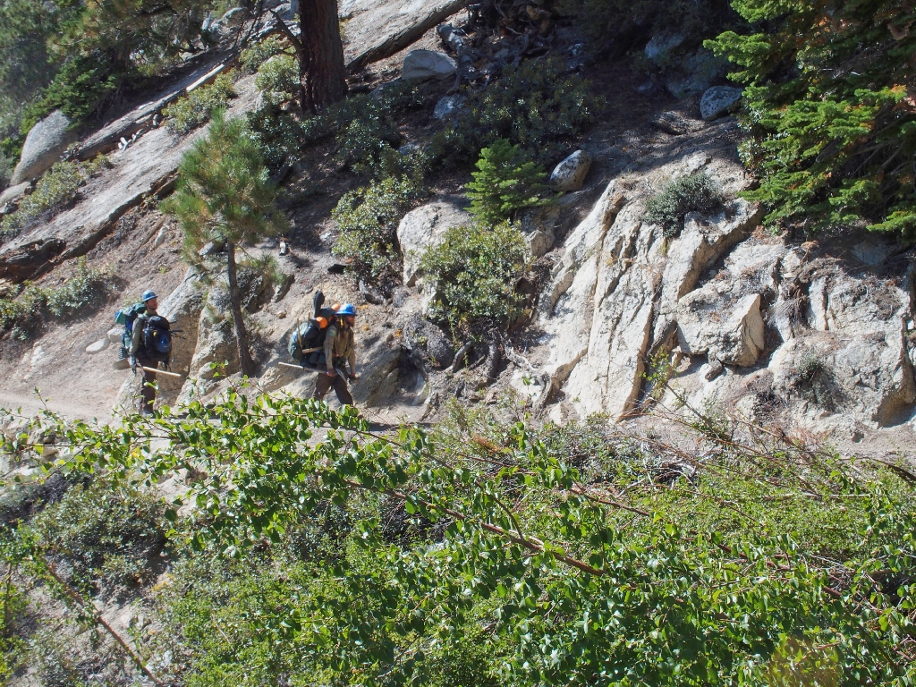
The man in back is carrying two packs
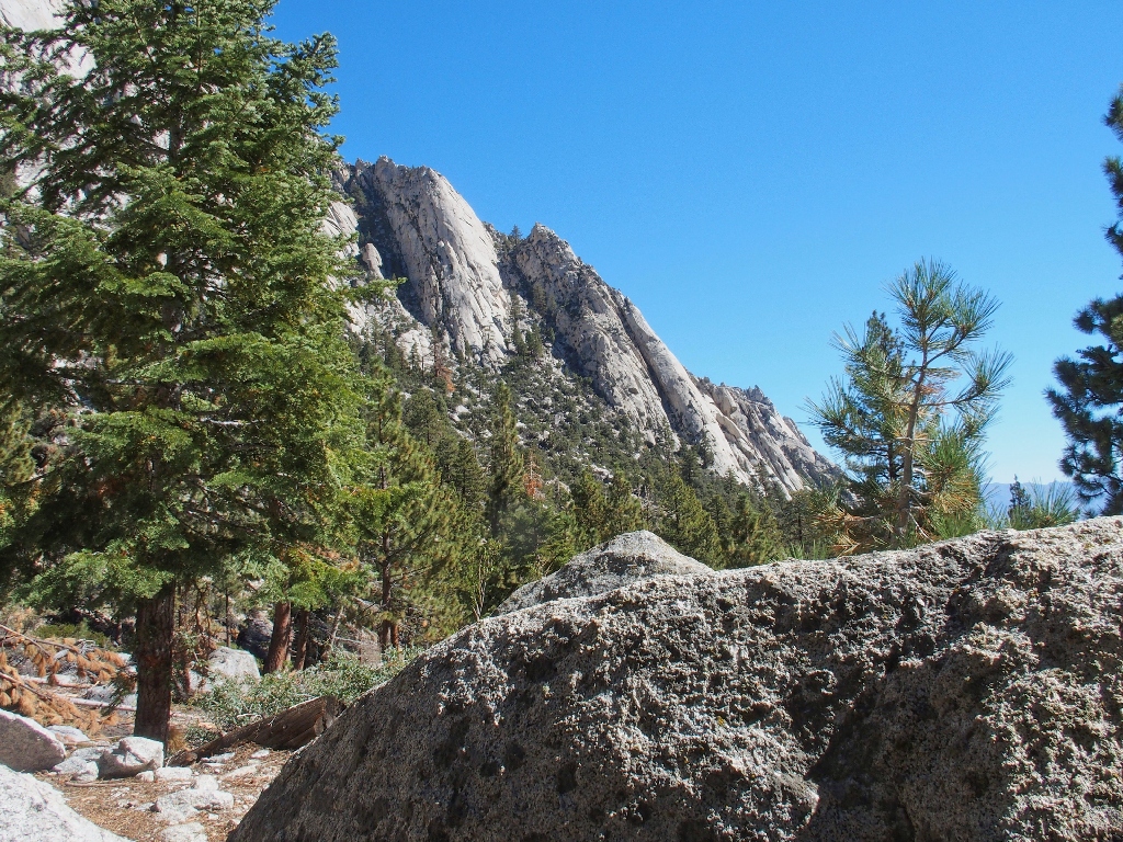
Way up there are Crooks Peak and Keeler Needle, both over 14,000 feet
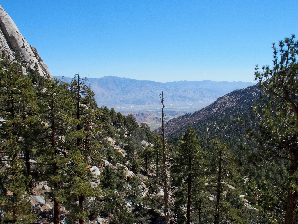
Owens Valley is 4,800 feet below
Thor Peak, 12290' (the high point is in back)
Right beside the parking lot, Lone Pine Creek is cascading merrily along, down into the dreaded wash that stymied us earlier in the day.
As long as we don't have to scramble across it...
The steep descent to the valley provides some more scenery.
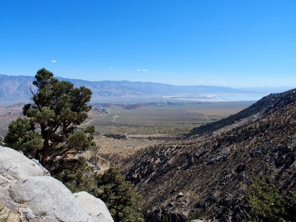
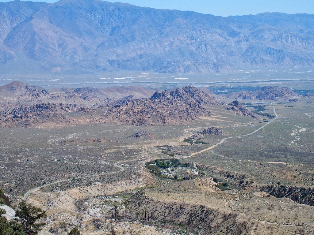
A glimpse of Owens Lake (right), which has been dry for a hundred years
By way of the greatest political boondoggle in California history, the city of Los
Angeles bought up most of the water rights in Owens Valley in 1913. Despite
fierce and sometimes violent opposition from locals, the lake had been drained dry
by 1926; since then, it has been little more than a toxic dust bowl.
This year's record-setting snowfall has revived the lake — at least
for a while.

A spectacular reprise
Overview of the Alabama Hills
§: Well, we didn't hike very far, and we didn't climb very high; but we
got a taste of the highest of the High Sierra. I highly recommend continuing
up to Lone Pine Lake, however, for even more great scenery. No permit required.
| Scenery |  |
| Difficulty |  |
| Personality |  |
| Flowers |  |