
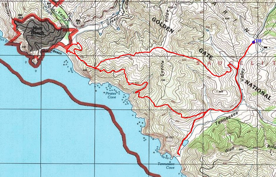
Golden Gate National Recreation Area
|
Muir Beach Loop Golden Gate National Recreation Area |
September 3, 2023
Because my mountain playground is being inundated by rain today, I have opted to join
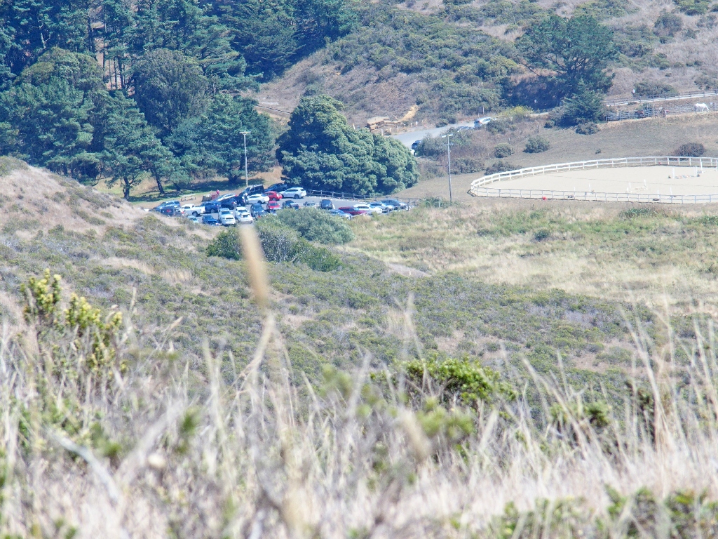
Allen, my south-bay connection, here in Marin County. At my 8:30 arrival time,
there are several parking spaces in the main lot; yet ten minutes later, Allen is
compelled to park a couple hundred yards down the road. I guess that's how
it works on Labor Day Weekend.
Fog still is everywhere; but of course, we are hoping that it will lift soon, so that there will be something to look at during our trek.
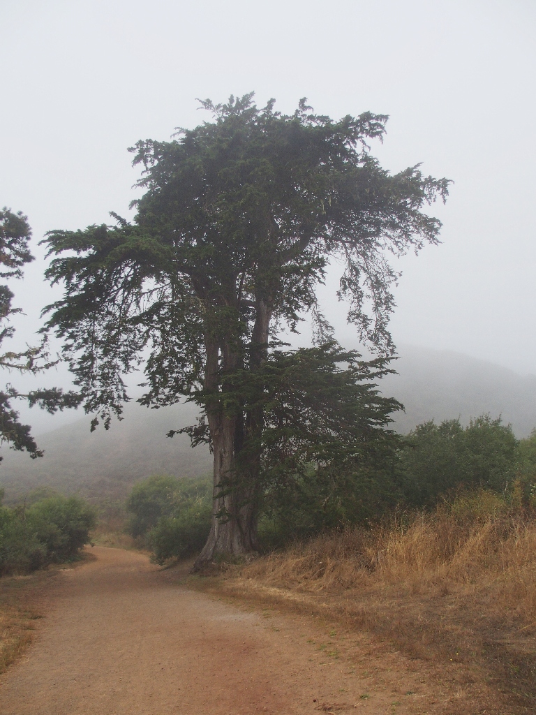
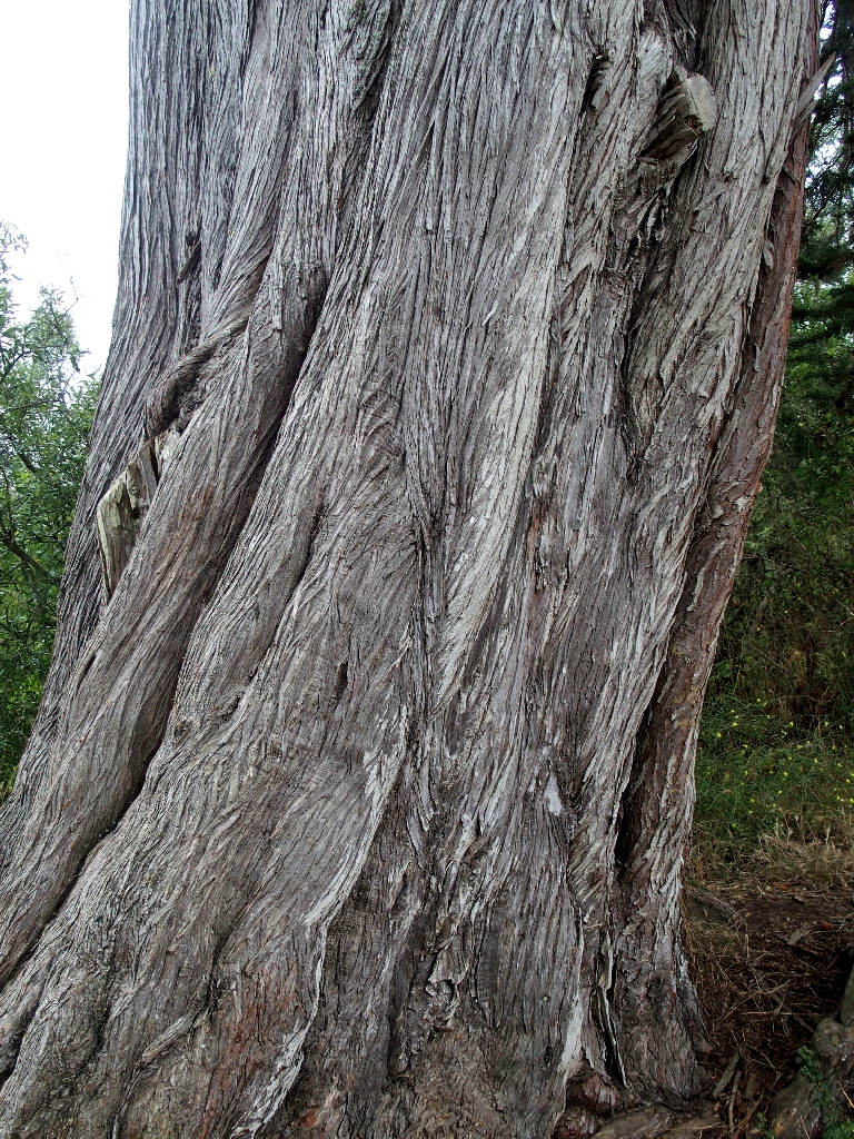
A big Monterey Cypress greets us first
The first order of business is a spur route down to a beach that I have not previously visited. Allen never has hiked around here at all.
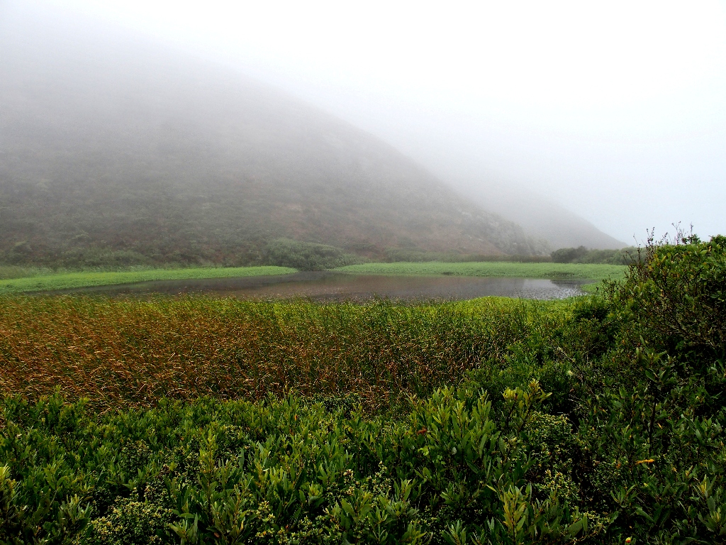
Unnamed pond
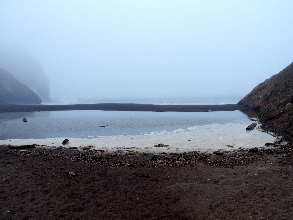
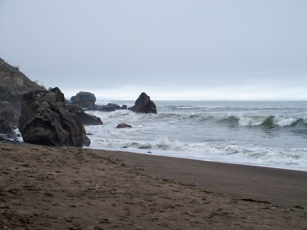
Tennessee Cove
A water channel prevents us from proceeding farther, but this view is good enough for today.
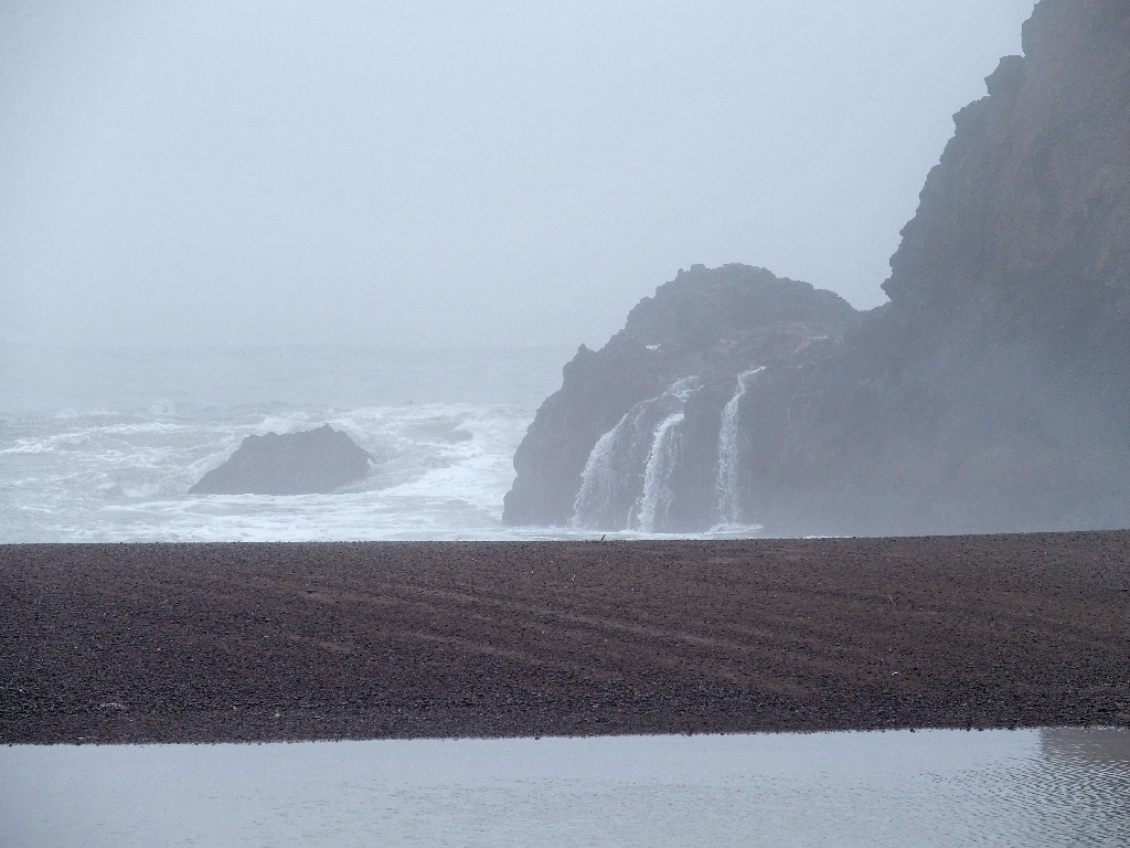
Wave-induced waterfalls
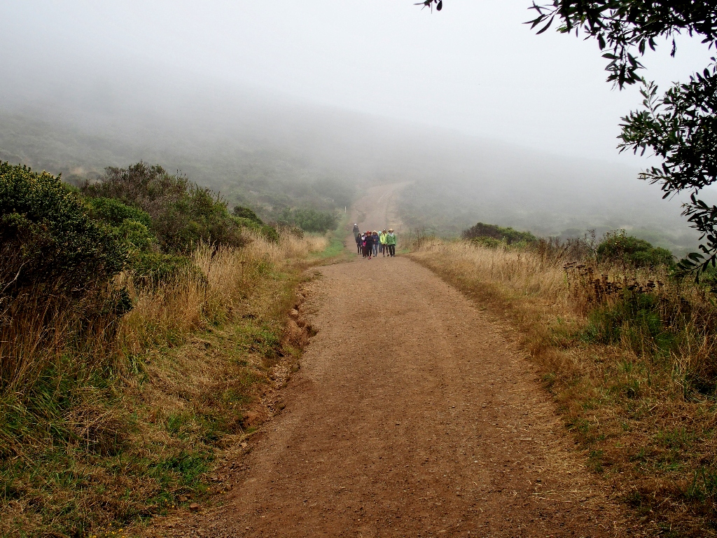
Heading back to the main loop
As the group of women approaches, the nearest one holds up a pair of sunglasses, then inexplicably hands them to me as we pass without so much as a word or a look back. Go figure. The shades themselves are in good condition, but the lens color isn't much to my liking; perhaps I'll use them for yard work or something.
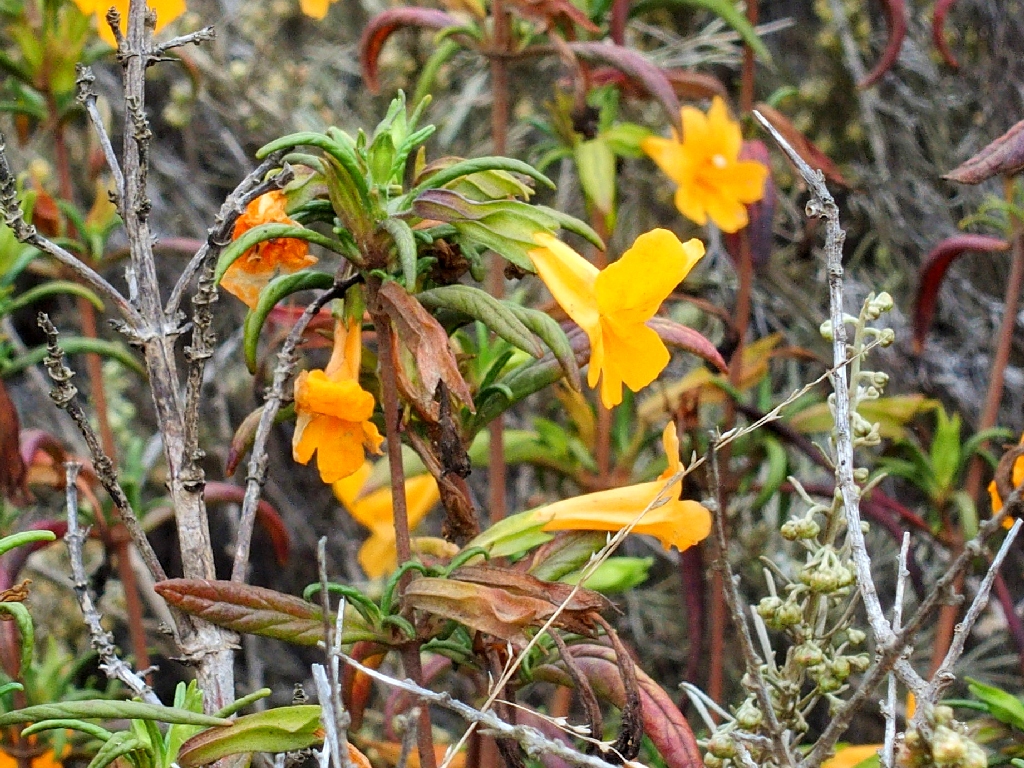
Orange Bush Monkeyflower
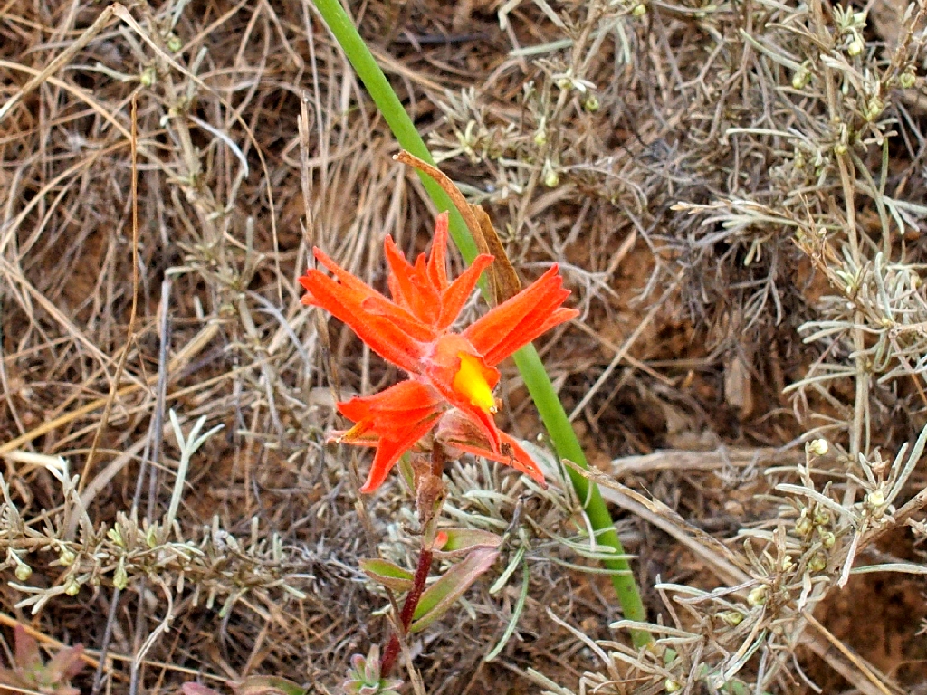
Coast Indian Paintbrush
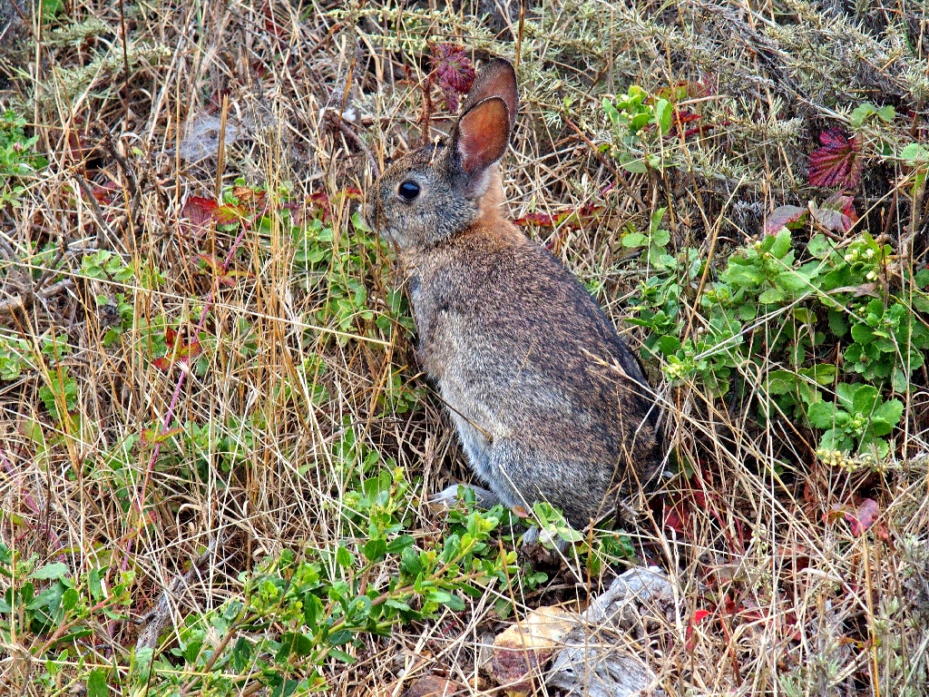
The bunny freezes long enough for a photo
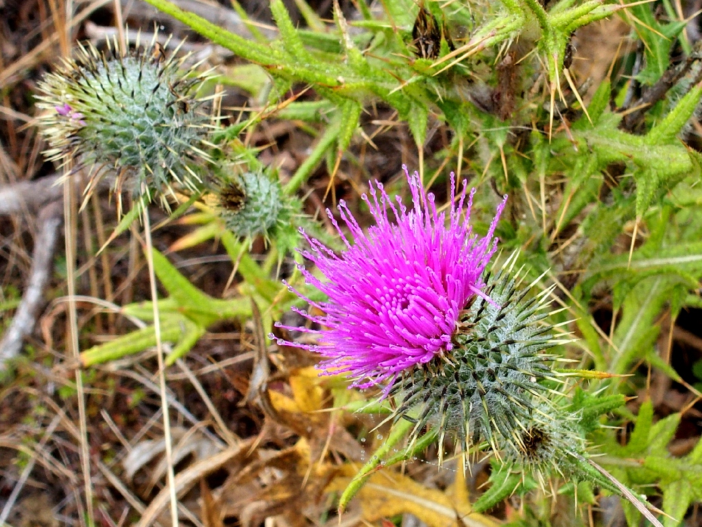
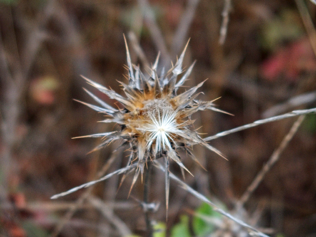
Bull Thistle
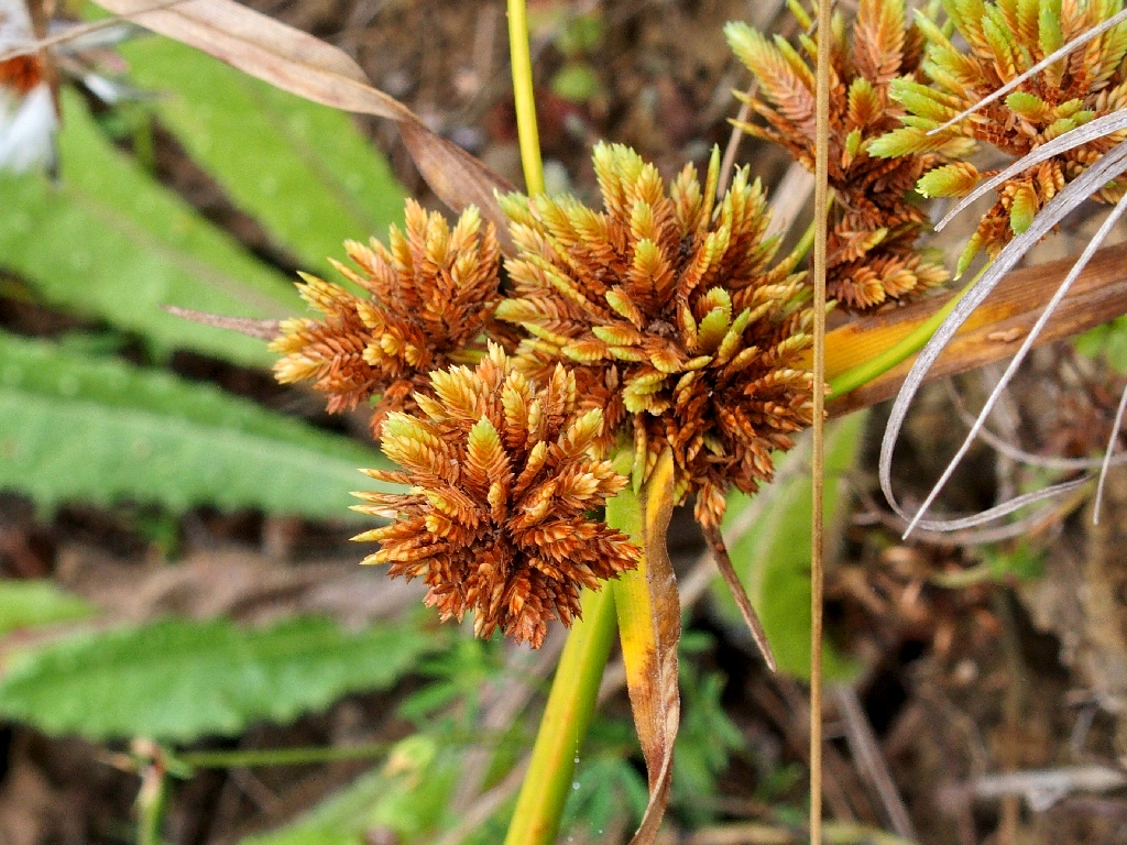
Tall Flatsedge
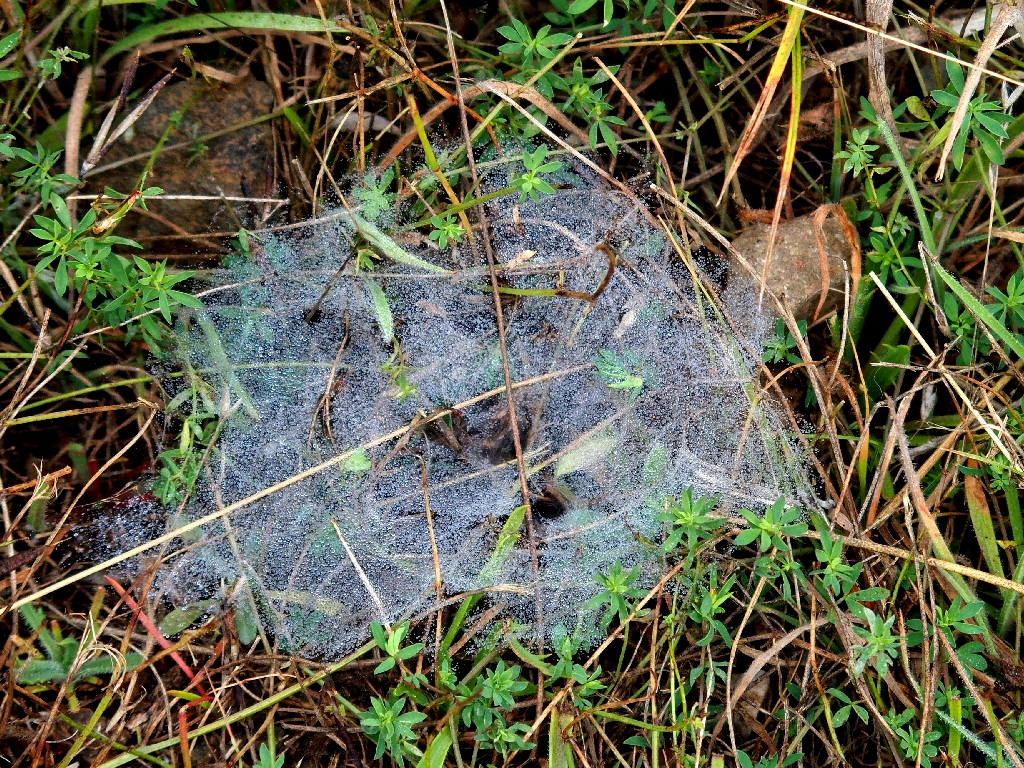
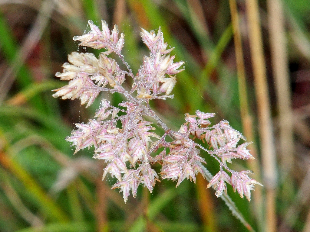
Dew drops on a spider web
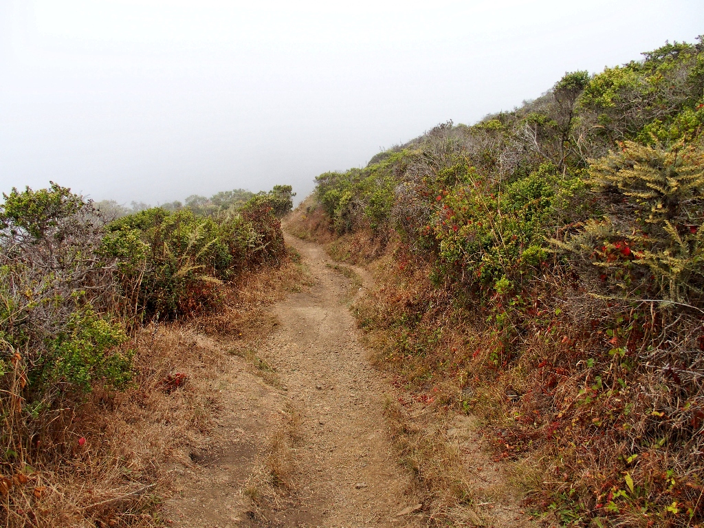
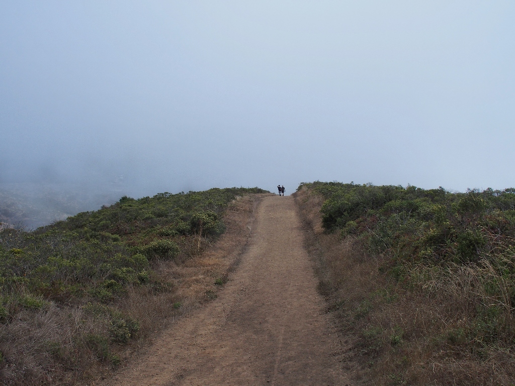
Plenty of ups and downs in here
Common Velvet Grass
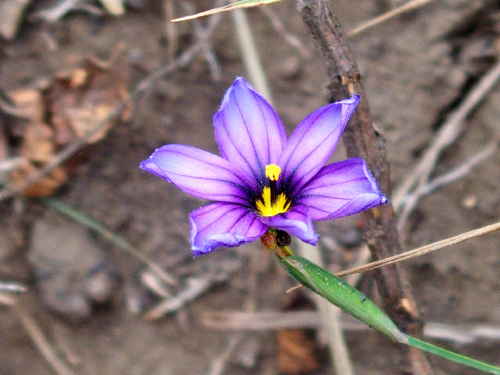
Western Blue-Eyed Grass

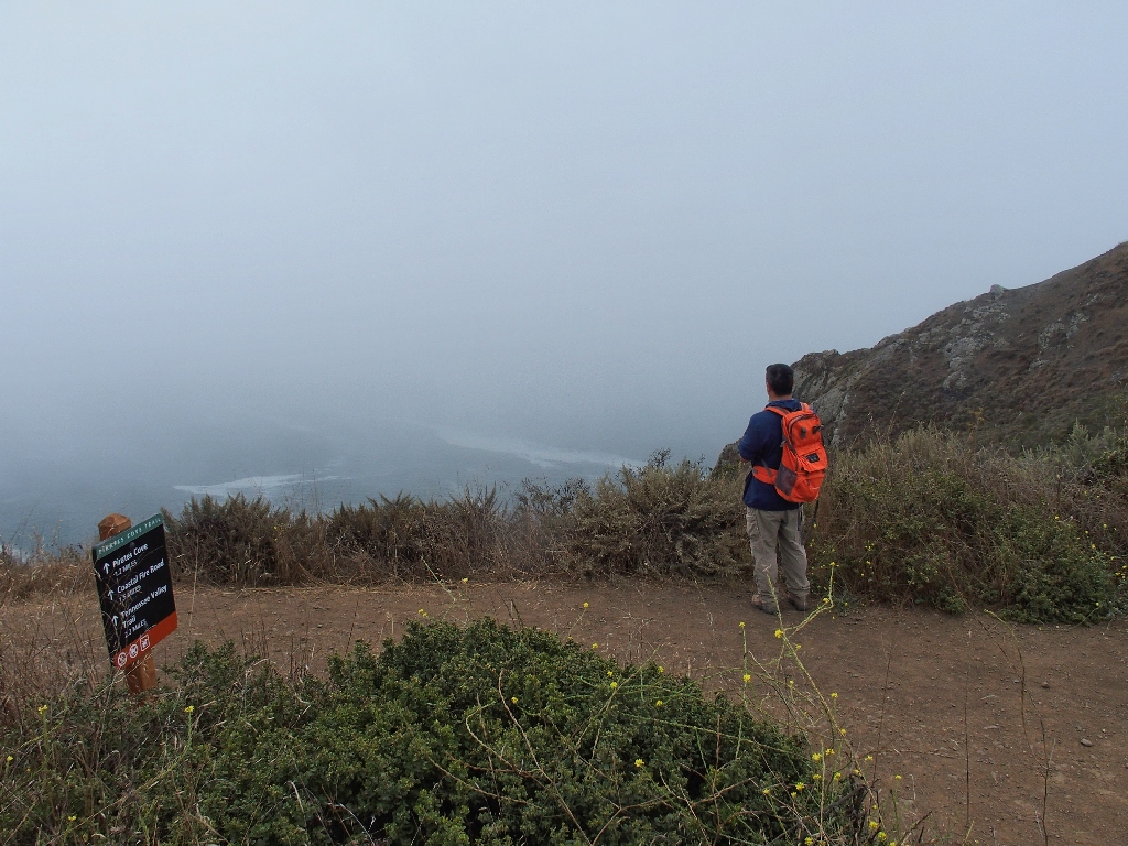
Overlooking Pirates Cove
On a clear day, we would have explored that one as well.

Bristly Oxtongue
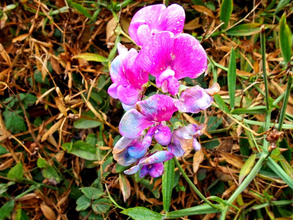
Perennial Pea

Montbretia
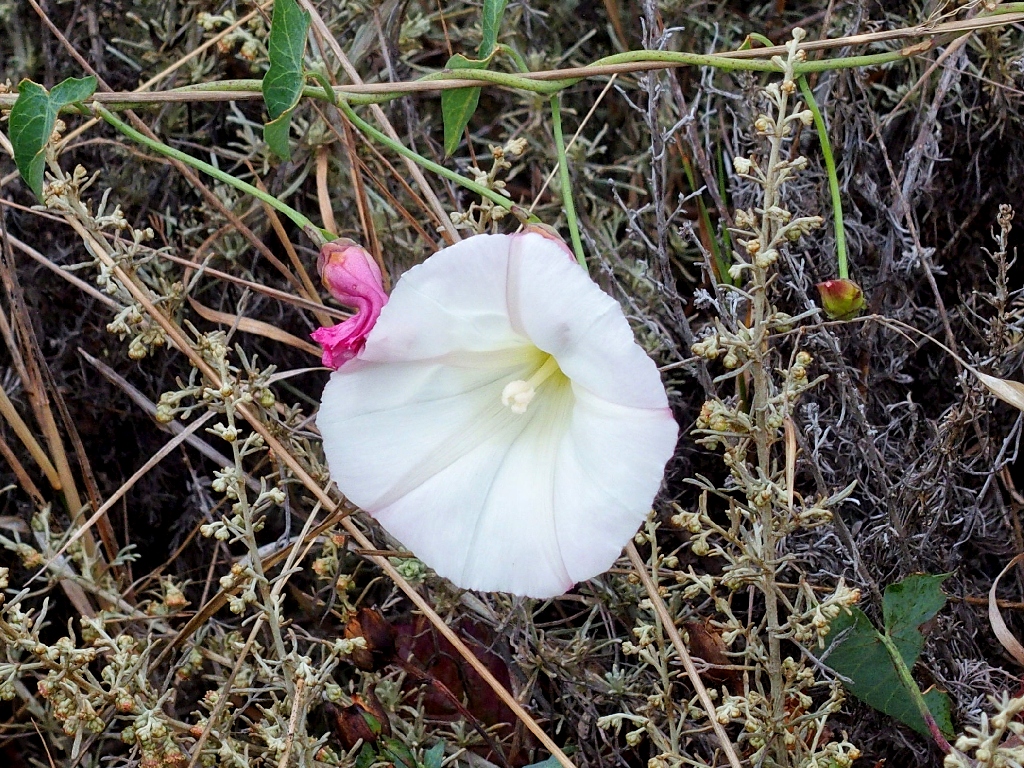
Coastal Bluff Morning Glory
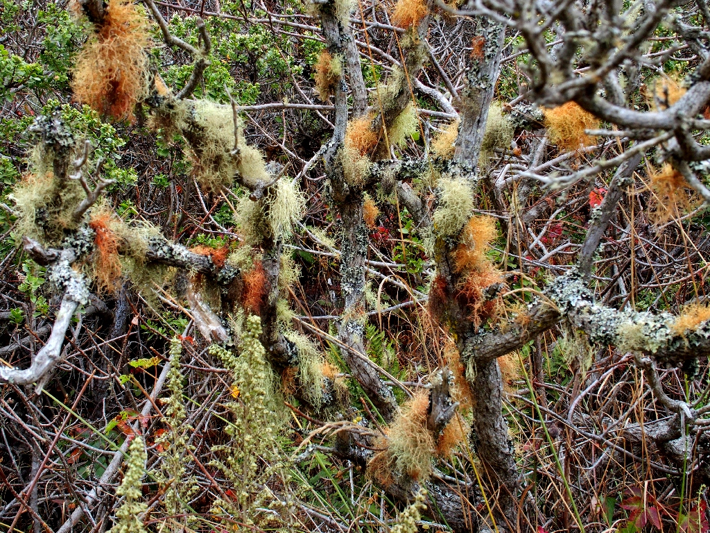
Parmeliaceae Fungi

California Blackberry
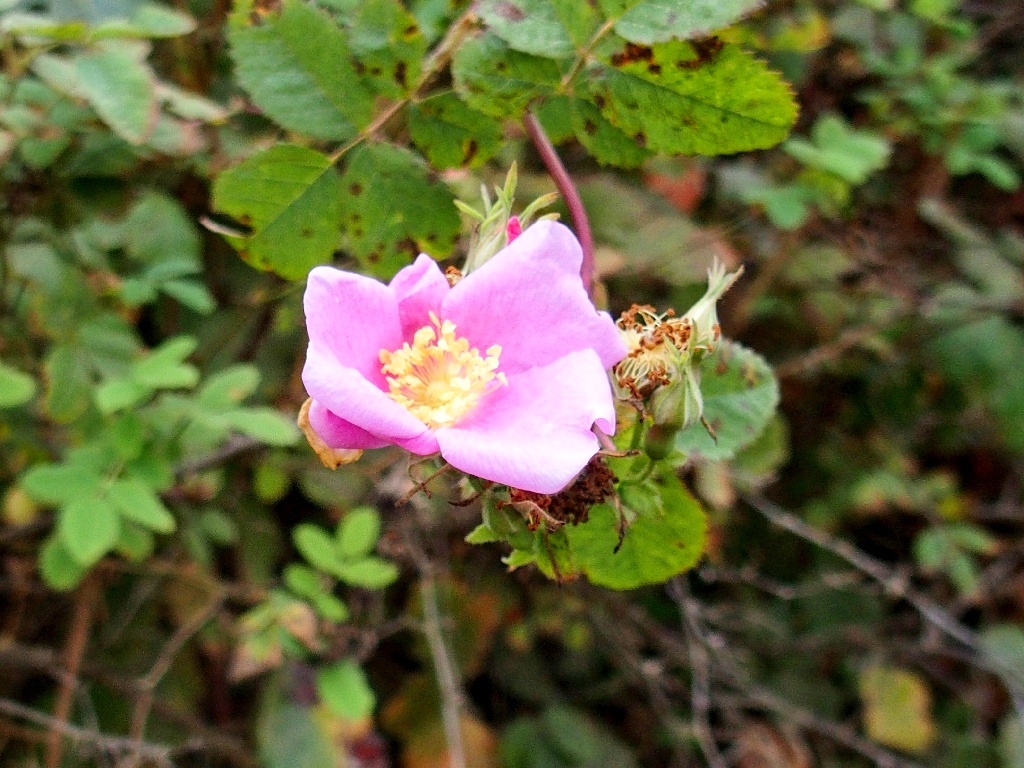
California Wildrose
Presently, Allen and I reach a spot that had been the endpoint of my travel previously.

Muir Beach is 200 feet below
Allen would like to join the festivities down there, so off we go on a wide loop down the trail.
⇔

It is plenty warm out despite the fog
A good lunch spot

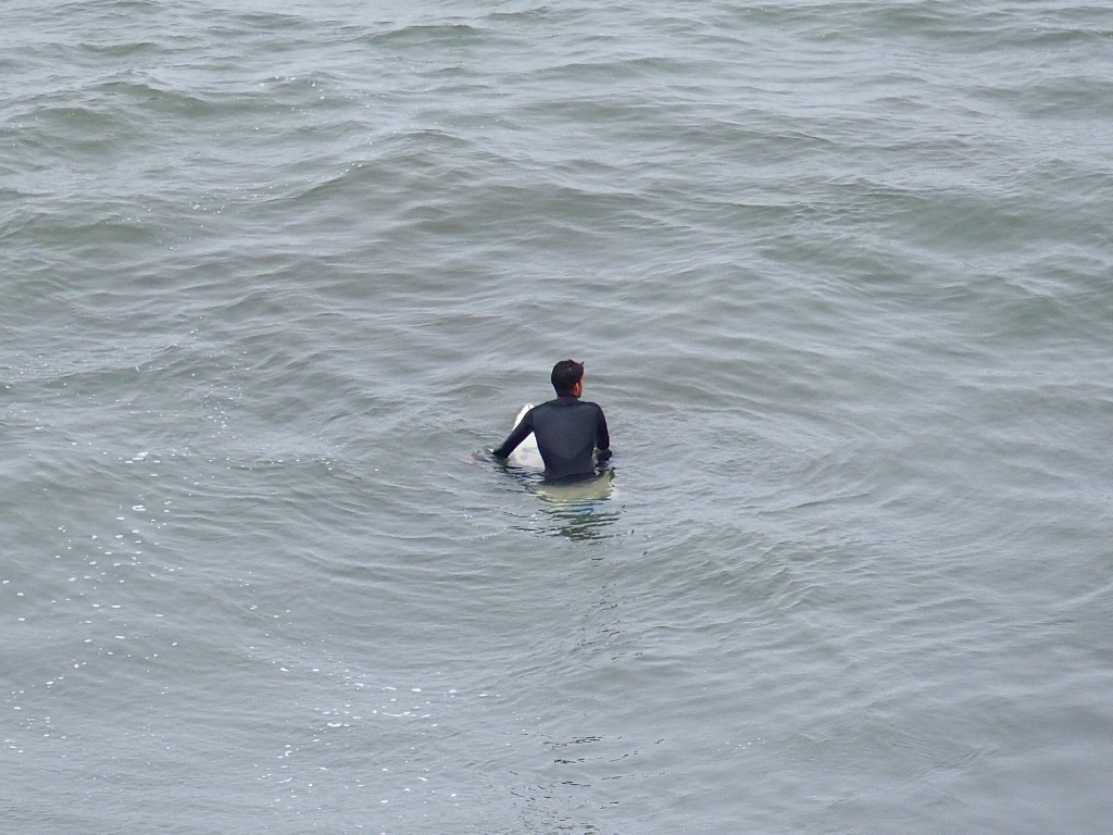
Is that an otter investigating the action on the beach?
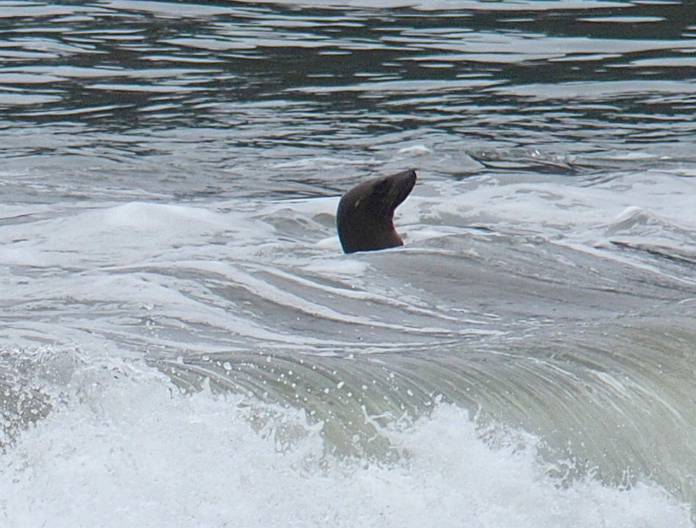
Yes, it is!
He is awaiting the big wave
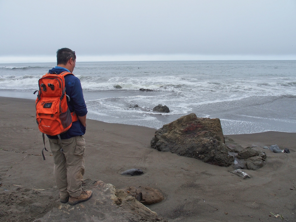
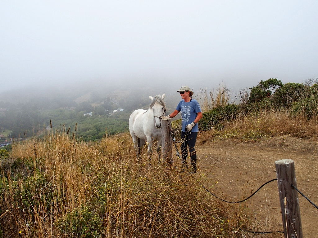
Allen is comtemplating — something

So long to Muir Beach
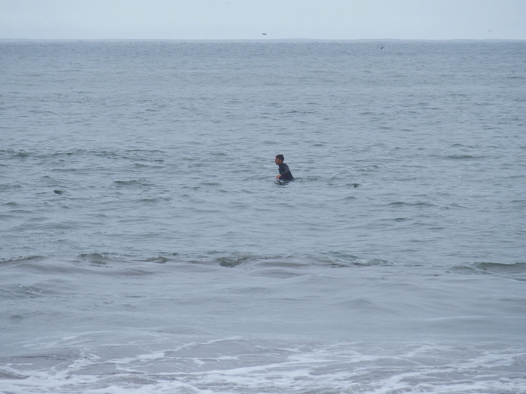
Still waiting
They also are overlooking the beach
Yarrow
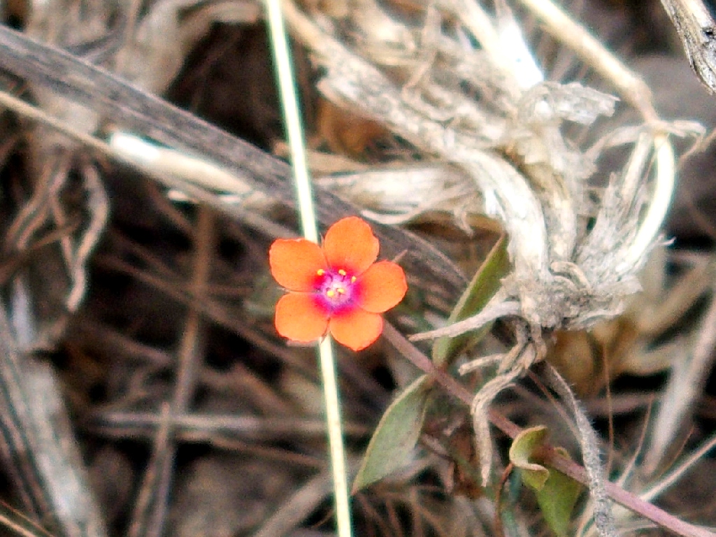
Scarlet Pimpernel
"I sure wish the fog would lift"
Maltese Star-Thistle
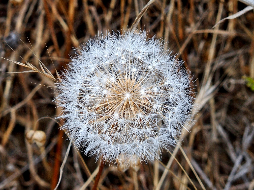
Mountain Dandelion
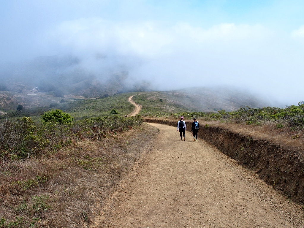
The planned loop turns abruptly left, away from the ocean and onto the Fox Trail.
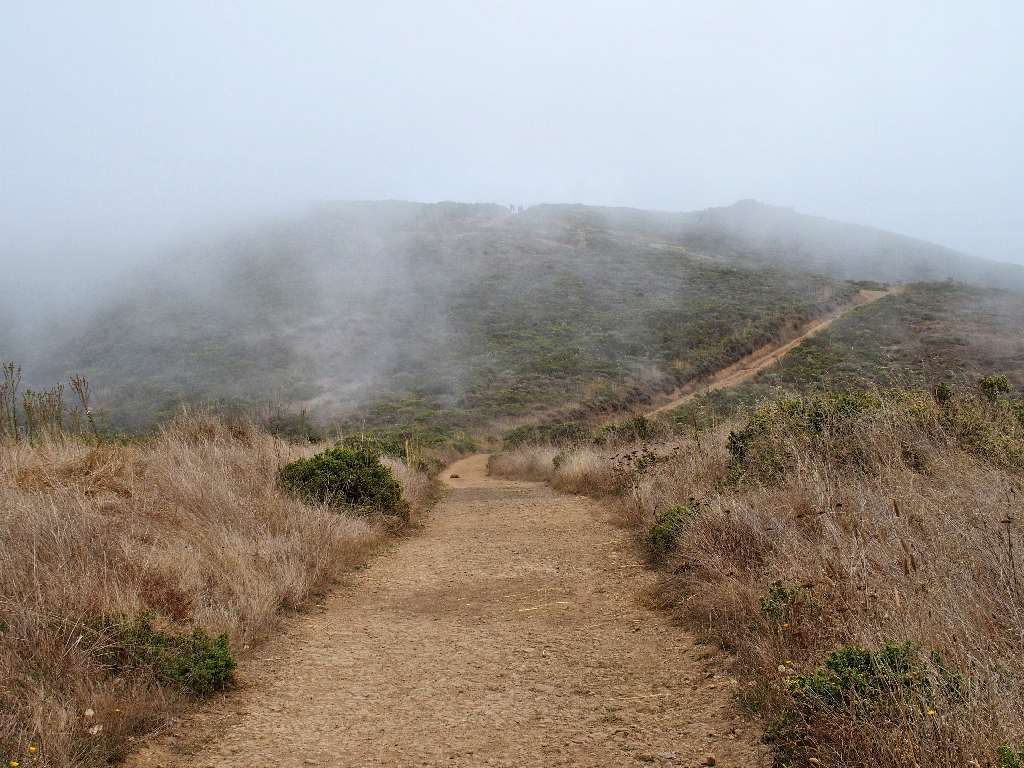
Commencing a relentless climb toward the distant hilltop
The only poppies we have seen provide my favorite photograph of the day:

California Poppy
Some sunlight finally appears — better late than never
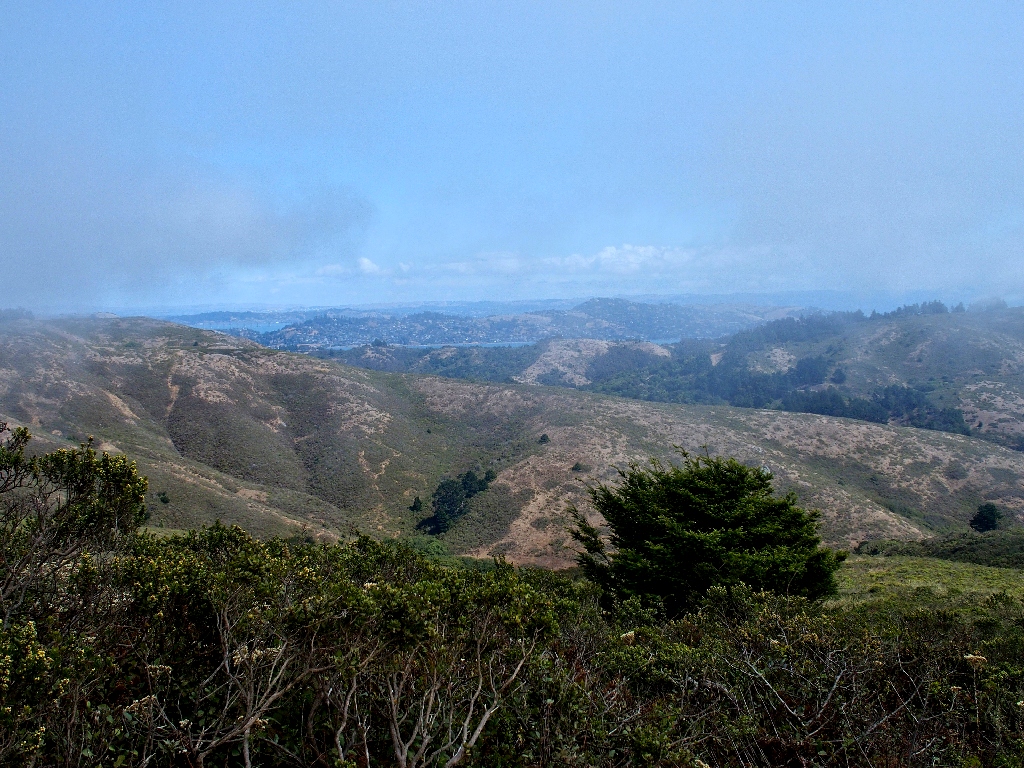
The Richmond Bridge is barely recognizable in the distance
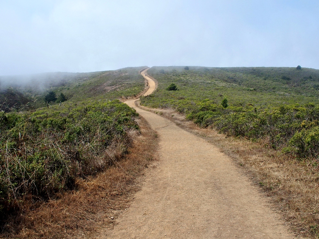
Only a mile to go
There's the parking lot, still twenty minutes away
§: Well, I visited two new places on today's route, and the late-season
flowers provided a pretty good show. Admittedly, it was known in advance that
summer is not the best time to hike on the north coast, because of the excessive
fog. Although a somewhat deceptive amount of climbing was done, it was handled
easily.
| Scenery |  |
| Difficulty |  |
| Personality | |
| Flowers | |

Here's a 3-D version

ABOUT GPS READINGS
After an early calibration adjustment, Allen's Garmin seemingly could not handle
low-elevation readings. Anything perceived as below sea-level was
treated as being many thousands of feet above that. His waypoint route looks fine
on maps, but on Google Earth the 'Adjust Altitudes to Ground Height' filter must
be applied.
My own Garmin, a different model, behaved better, but showed a reading of
-24 feet at Muir Beach. This means that, for more accurate results while on
the trail, I should calibrate the altitude at the start of most outings.
