Desolation Wilderness
-or- How to Ruin a Hike
|
Echo Peak, almost Desolation Wilderness -or- How to Ruin a Hike |
August 24, 2023
This day starts out quite strangely with a two-mile jaunt back to Glen Alpine
Springs, which I visited just five days ago, to retrieve my forgotten long-sleeved
shirt from behind the tree where I had stashed it. The shirt is old and never
was worth the extra gas money; but now I have it back, and order has been restored to
the universe.
Several bucket-list options remain in the nearby Echo Lakes Basin, despite their easy access. I never have climbed up to Echo Peak or Triangle Lake north of the Pacific Crest Trail, and I never have explored the area of Tamarack, Ralston and Cagwin Lakes on the south side of it. The focus always has been on forging ahead into the incomparable Desolation Valley. No decision need be made, however, until I am on the trail.
The big hikers' parking lot is predictably full at 10 a.m., but I squirrel into a
roadside spot at the edge of the cliff. The driver just ahead of me had looked at it,
but apparently 'chickened-out'. Those folk will have to walk quite a bit
farther instead.
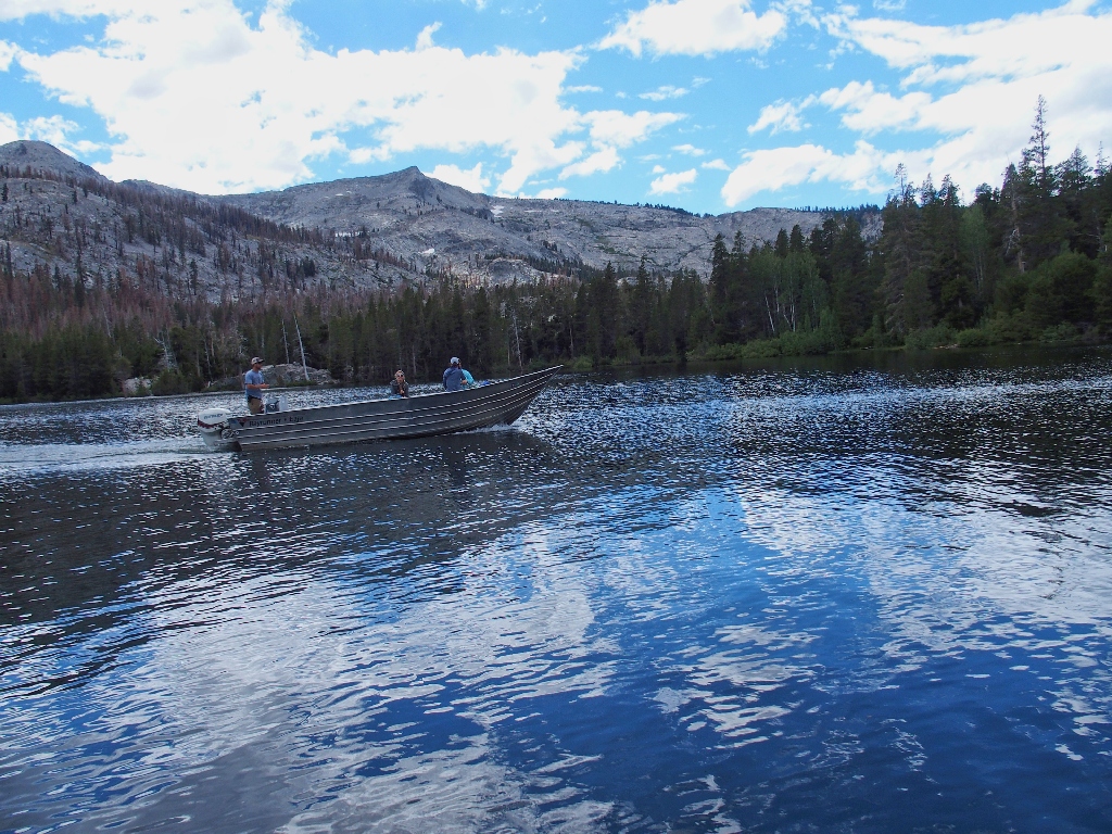
The unique boat ride across the two Echo Lakes shaves 2½ miles off the beginning of the route, and taking it is today's plan. As I approach the marina, a boat is just getting ready to depart. By running the rest of the way, I arrive at the dock just after the captain has started the motor, but just in time to grab a ride.
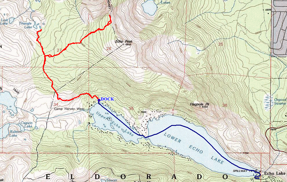
Leaving the dock
Into the magic channel between the lakes
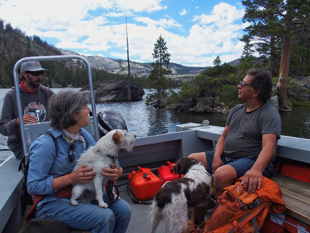
The boat taxi now costs $20 each way! I can remember when it was just six
dollars. This does not compare favorably with the Saddlebag Lake taxi over
near Tioga Pass, which is just $14 round-trip. The price here actually has been
recently reduced, however; during the peak COVID days, the fee was up to $24
one-way, because the vendor would carry only three passengers at a time,
all wearing masks and socially distanced in the boat itself.
The five that rode with me are half my age
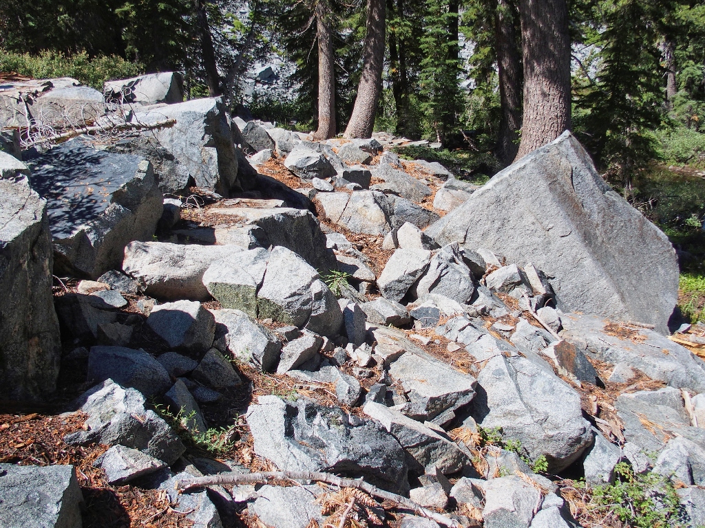
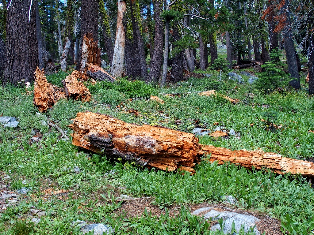
The first six-tenths of a mile of walking is more like stumbling, up what I have
repeatedly proclaimed to be the worst section of trail in my total experience.
One must negotiate it first-hand to appreciate how rough a highly popular route
actually can be; in places, every step risks an injury if one is not sufficiently
attentive.
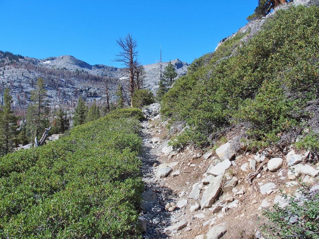
One of the 'better' sections of the unfriendly trail
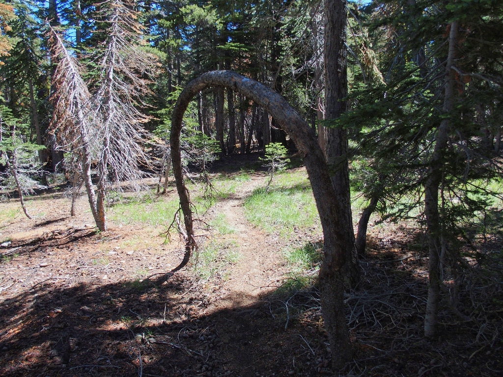
The adventure begins
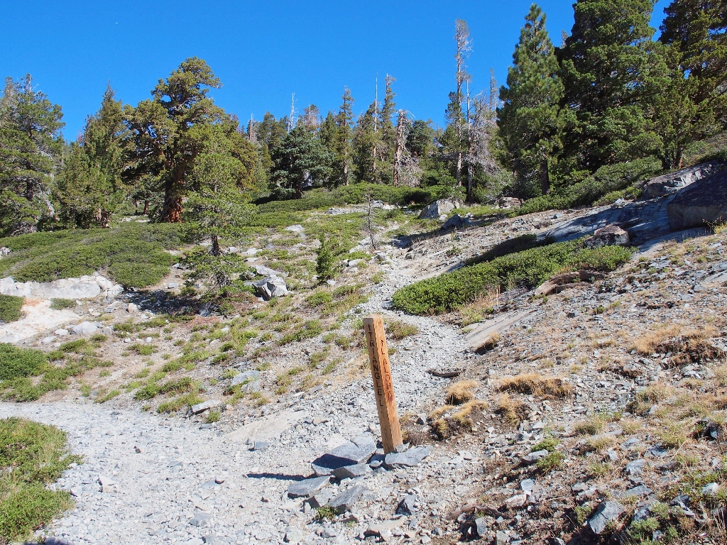
At the signpost, I opt to turn up the hill toward Triangle Lake, for starters.
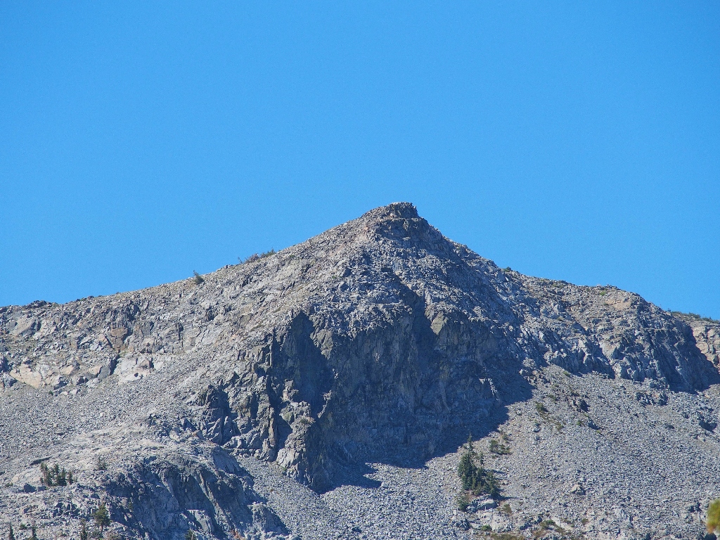
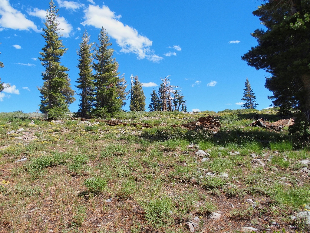
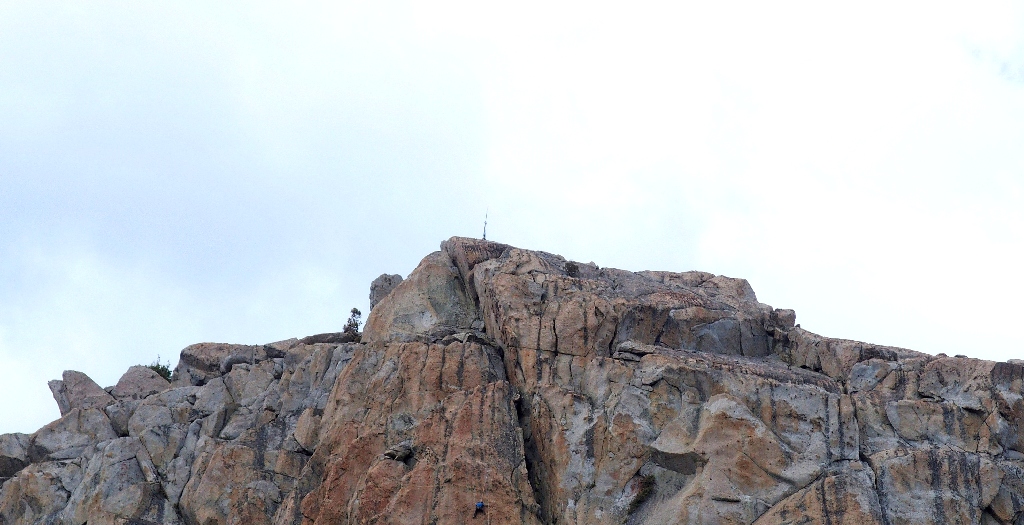
No one is atop Ralston Peak at the moment
The going is plenty steep and plenty green for a while
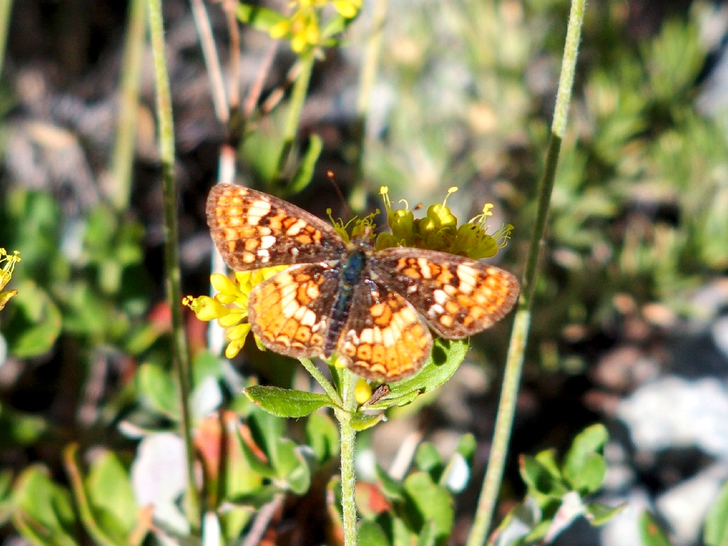
Pearl Crescent

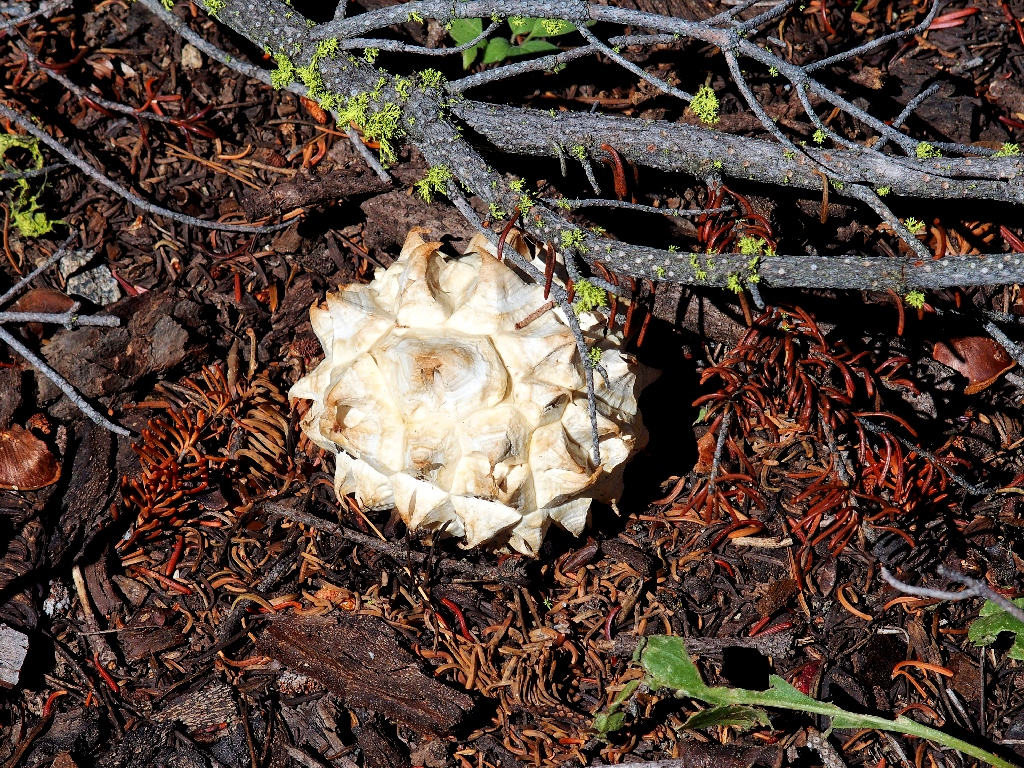
Matsutake Fungi
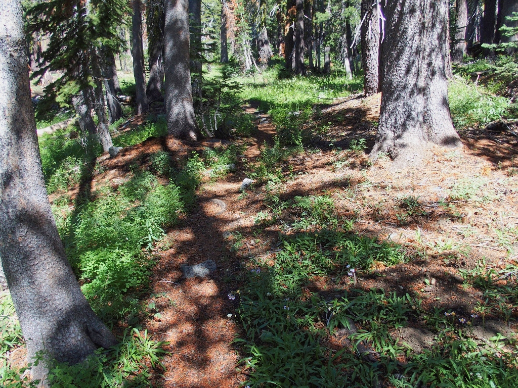
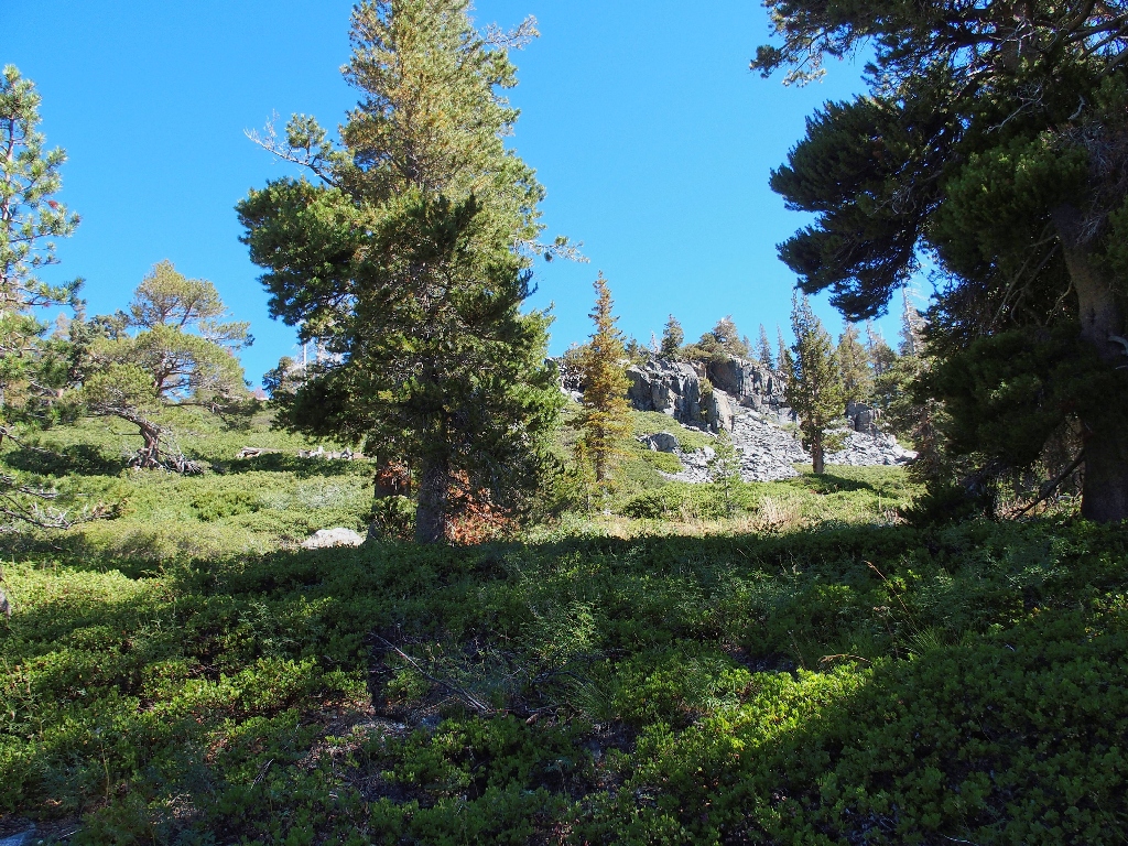
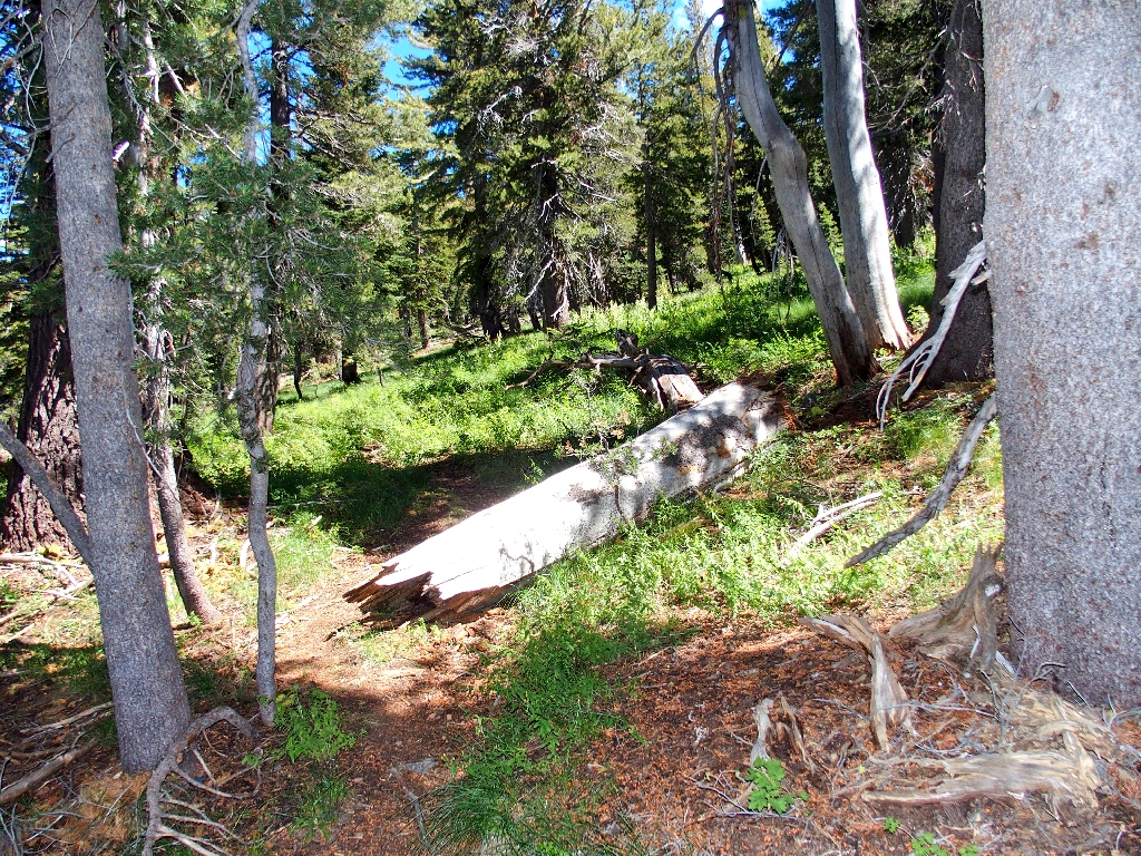
Mellow going in here
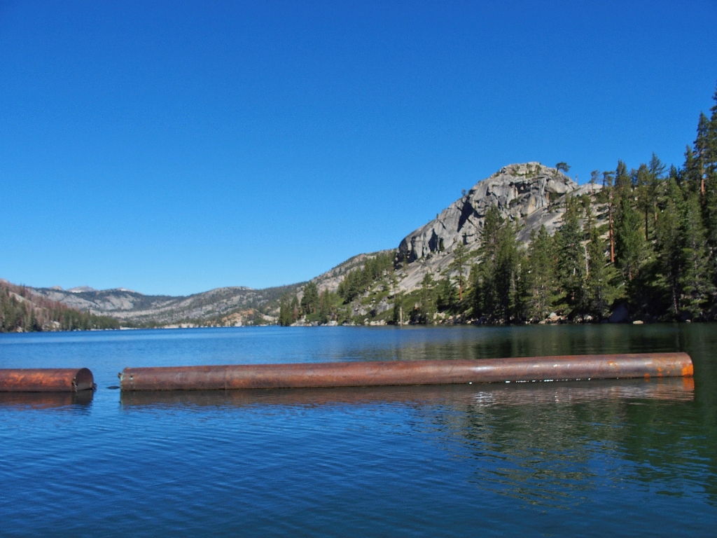
Spotting Triangle Lake below, I must descend steeply for a couple hundred feet. When the trail seems to fizzle at a little water crossing, I scramble to the right toward one of several waypoints on my map.
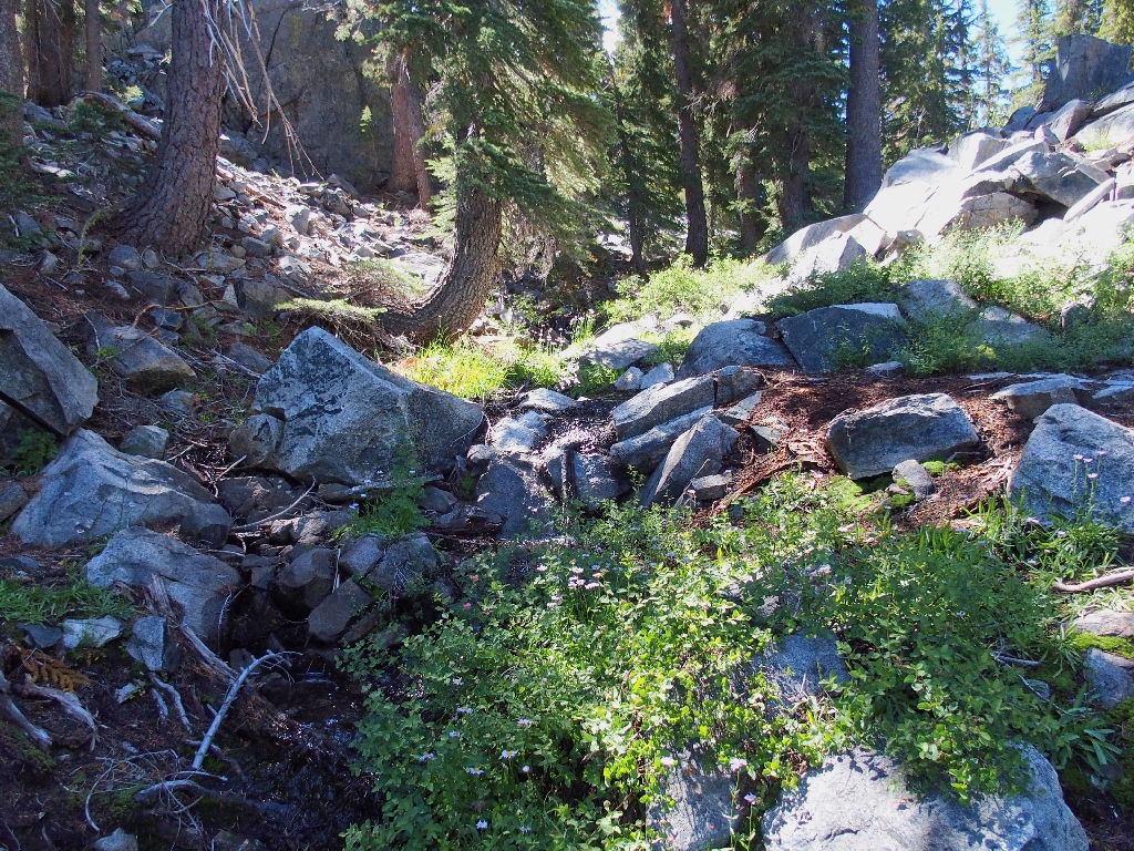
No trail over here
The lake proves rather disappointing.
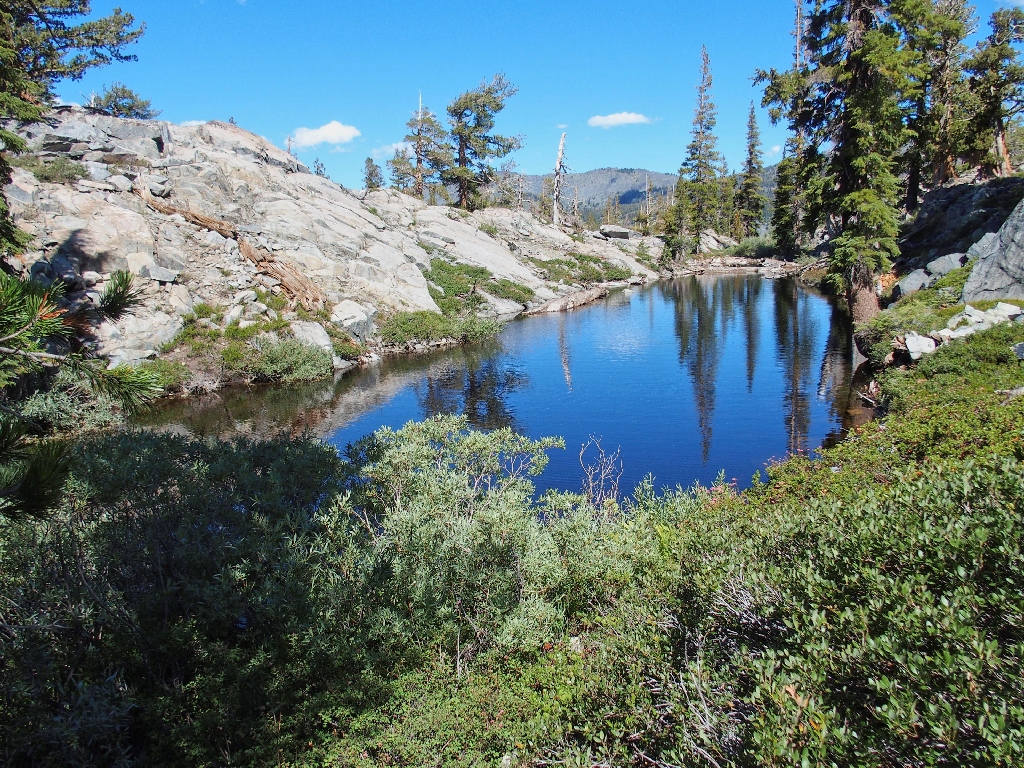
Nice, but unspectacular
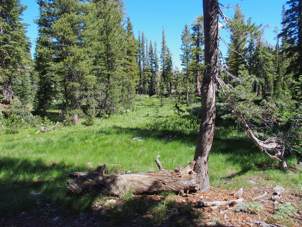
Getting back to the trail
Last look back at the water
Getting over to the nearby Lost Lake from here looks quite problematical; perhaps
that's why they call it Lost Lake. In any case, I will head over to Echo Peak
instead. Back at the signed four-way junction I turn east onto the Lily Lake
Trail, then right at an unsigned split in the route.
Having a GPS and a map come in handy at times like these
Tunnel Tree
Gnome Plant
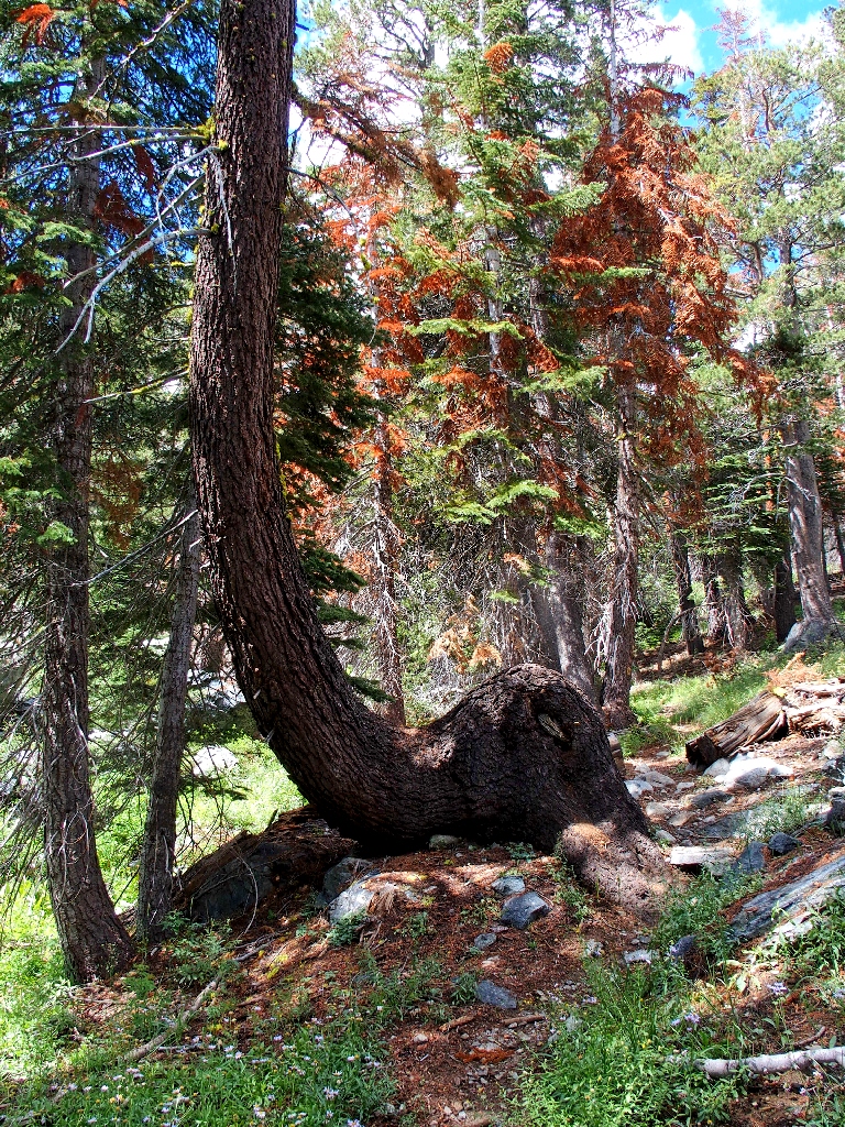
This next mile through unexciting forest climbs another 600 feet and requires several rest stops. I trust that the rewards will be worth the effort.
The trail is steeper than it seems

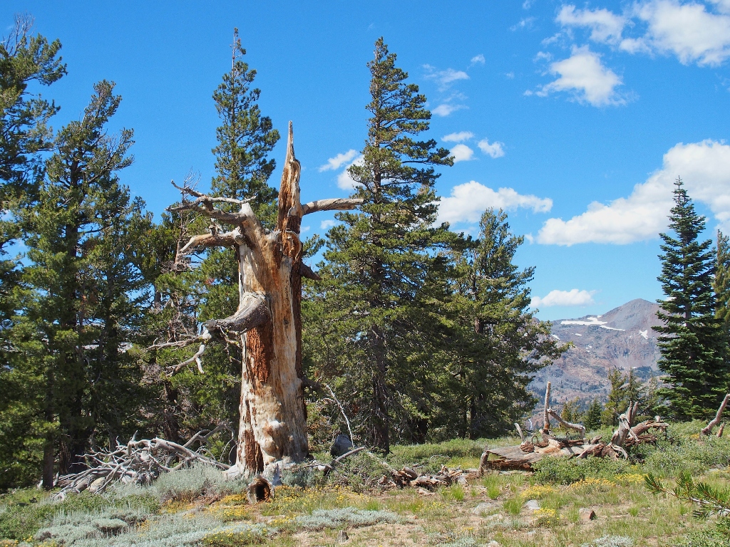
Beautiful even in death
Nearing the top
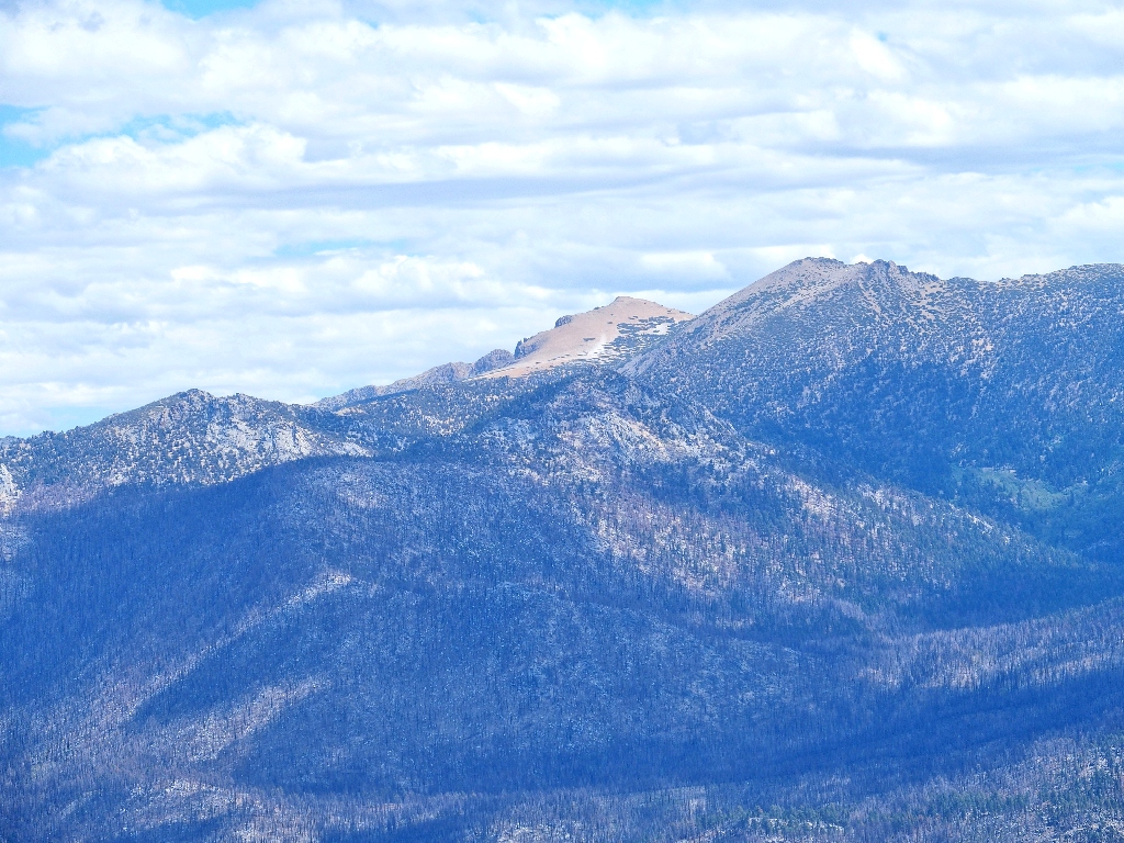
The first view is of Freel Peak, the area's highest at 10886'
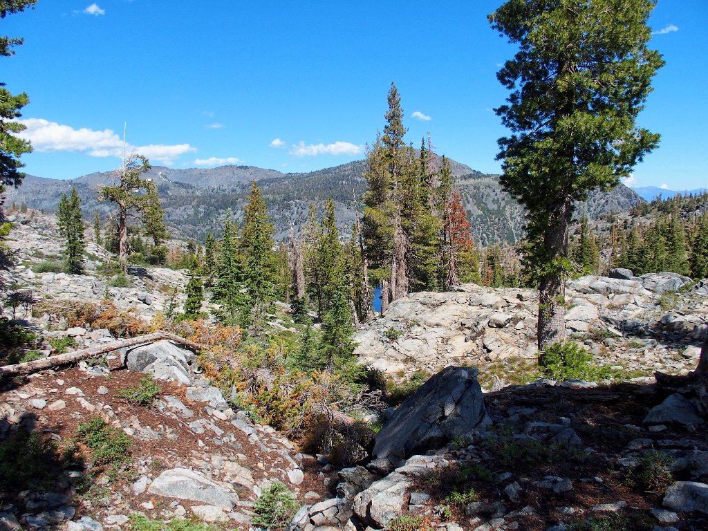
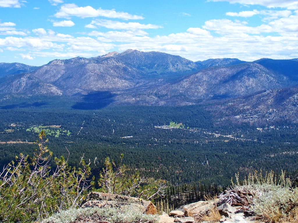
There is a choice here: head south up to the Echo Peak summit, or turn north to a closer, unnamed prominence; I opt for the latter.
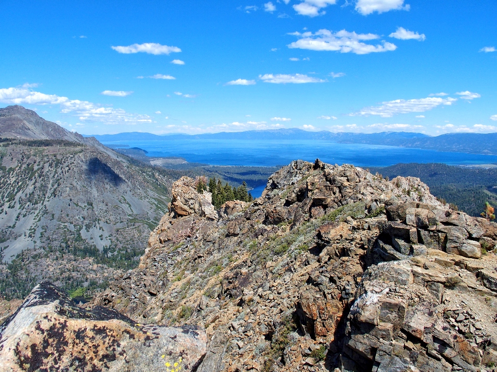
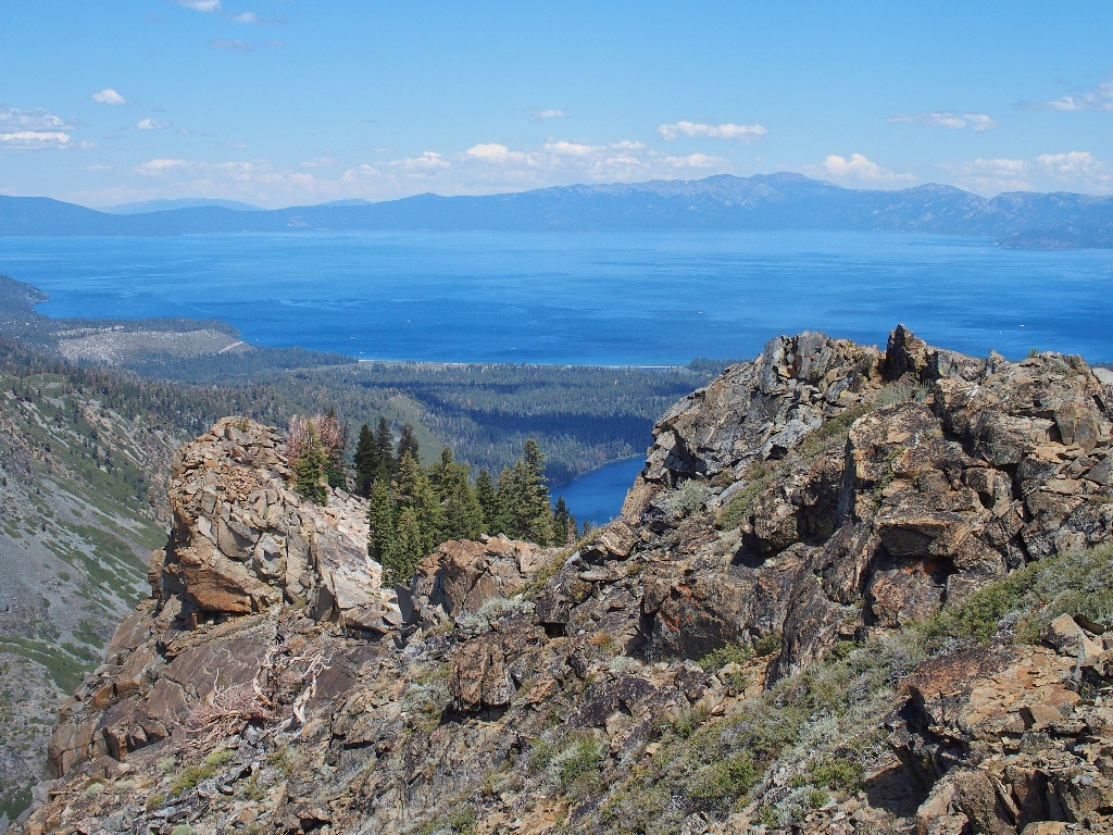
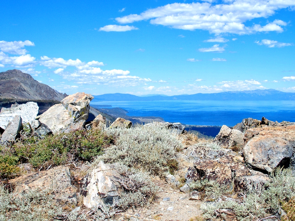
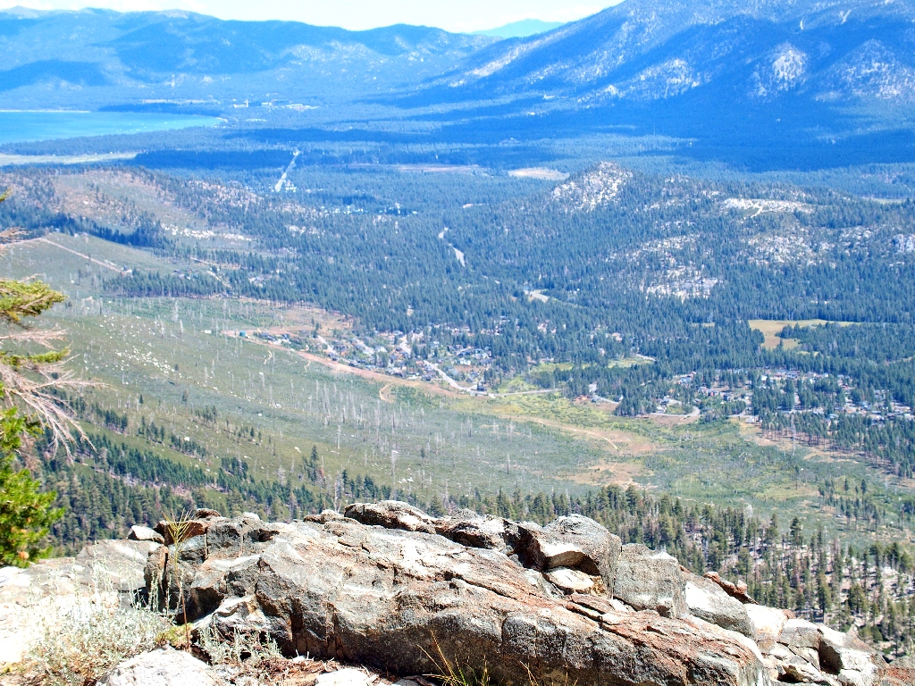
A fine view of Lake Tahoe from Peak 8760, with Mount Tallac to the left
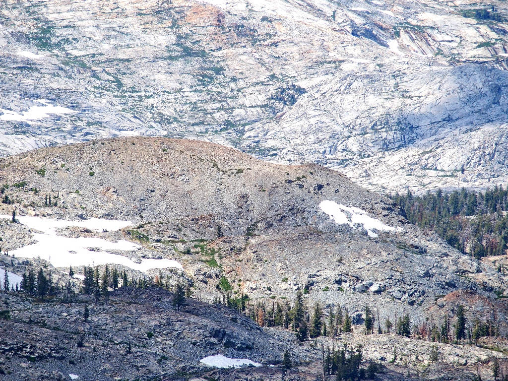
Directly below is where I was hiking about two hours ago, on my apparel-recovery mission.
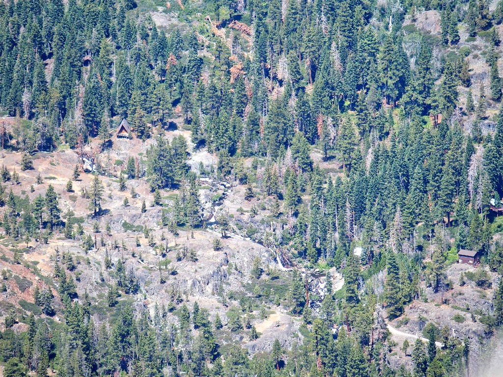
The center of that scene is just where my shirt was stashed, near Modjeska Falls
Fallen Leaf Lake is barely visible

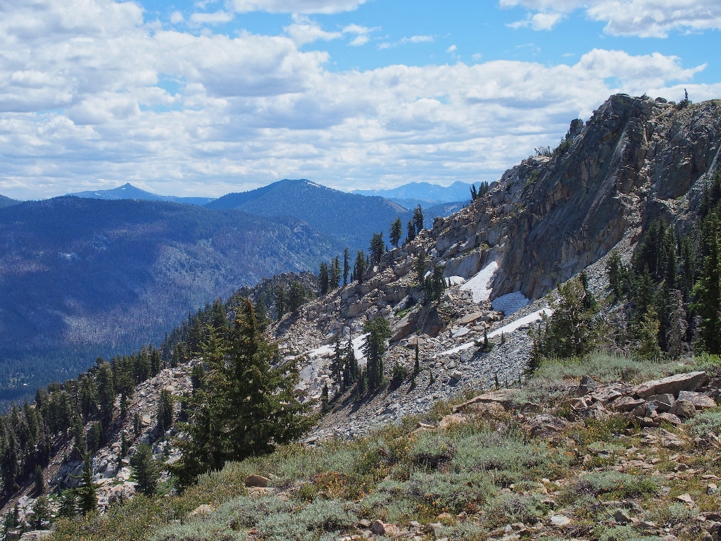
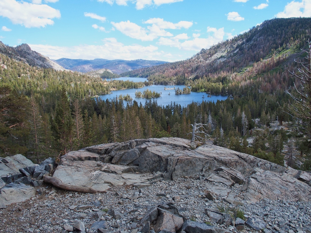
Westward are the high peaks of Desolation
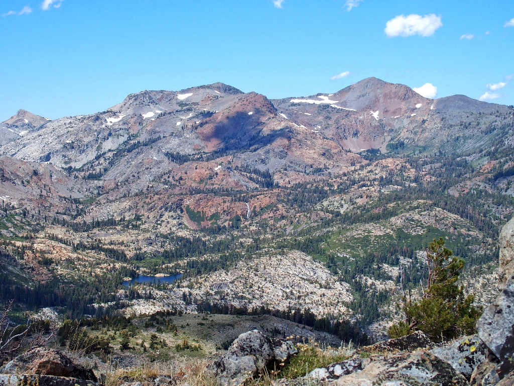
A closer inspection reveals Grass Lake and Susie Lake Falls
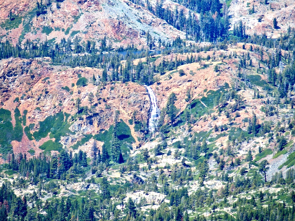
Susie Lake itself is just behind the falls
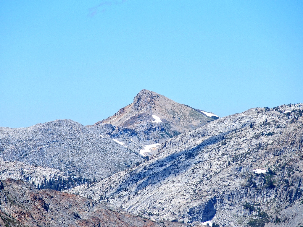
Little Pyramid Peak, 9441', is northwest
Behind Echo Peak to the south are Hawkins Peak, Waterhouse Peak, and the Ebbetts
Pass area

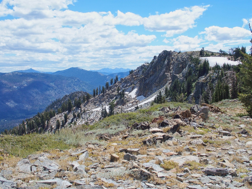
Desolation Valley is hiding behind Cracked Crag
Lots of Granite behind Keiths Dome
Snacking at cliff's edge is a lot of fun, but the onset of a strong breeze sends me packing.
Last look at my beloved Big Blue
Mostly because of the wind, I'll forgo an ascent of Echo Peak today

Meyers golf course
Freel Peak again

Stateline casinos
Site of the 2007 Angora Fire
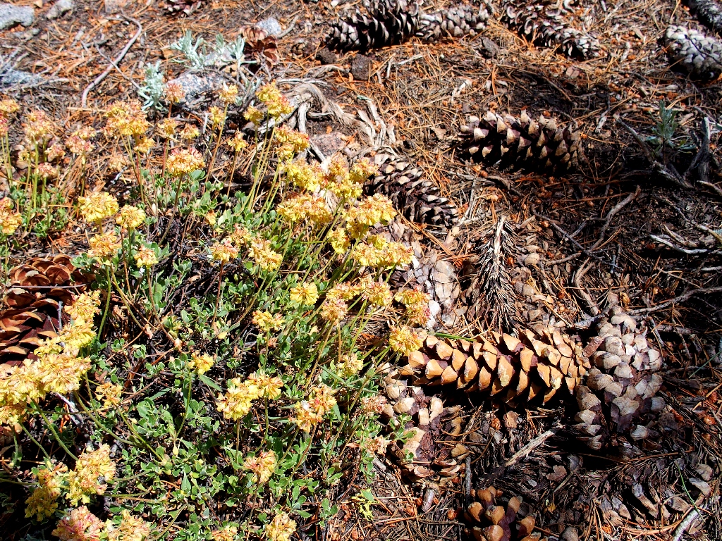
Sulfur Buckwheat is the predominant flower up here
Starting back, I am reminded of how relatively steep this climb was.
Lion's Mane Mushroom

Meruliaceae Fungi
Pretzel Tree
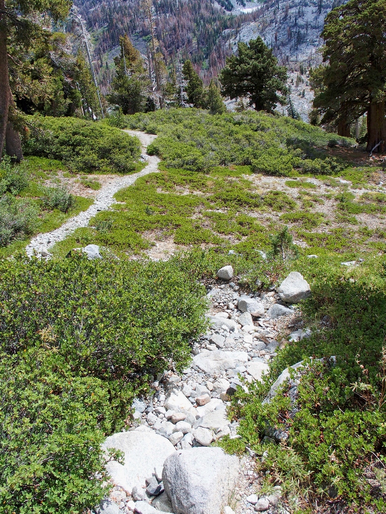
Nearing the PCT
The Caldor Fire of 2021 burned the basin's southern hillside (right), but stopped there. It is fortunate the the trail and boat dock are on the north side.
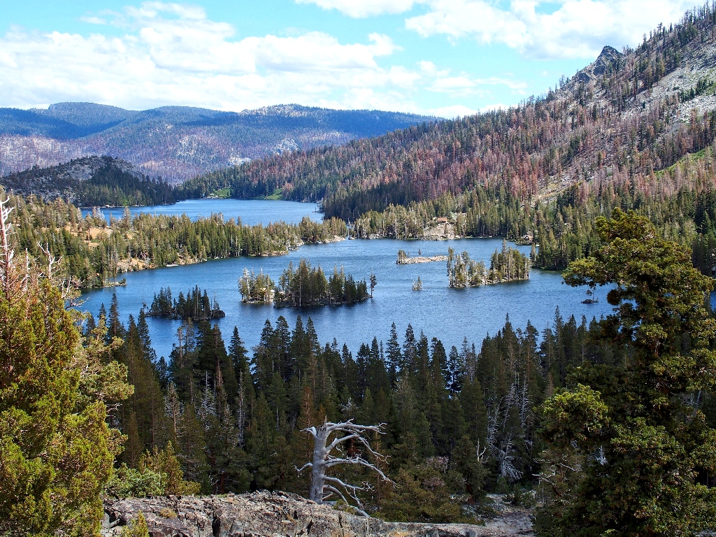
Note the private cabin on the big island
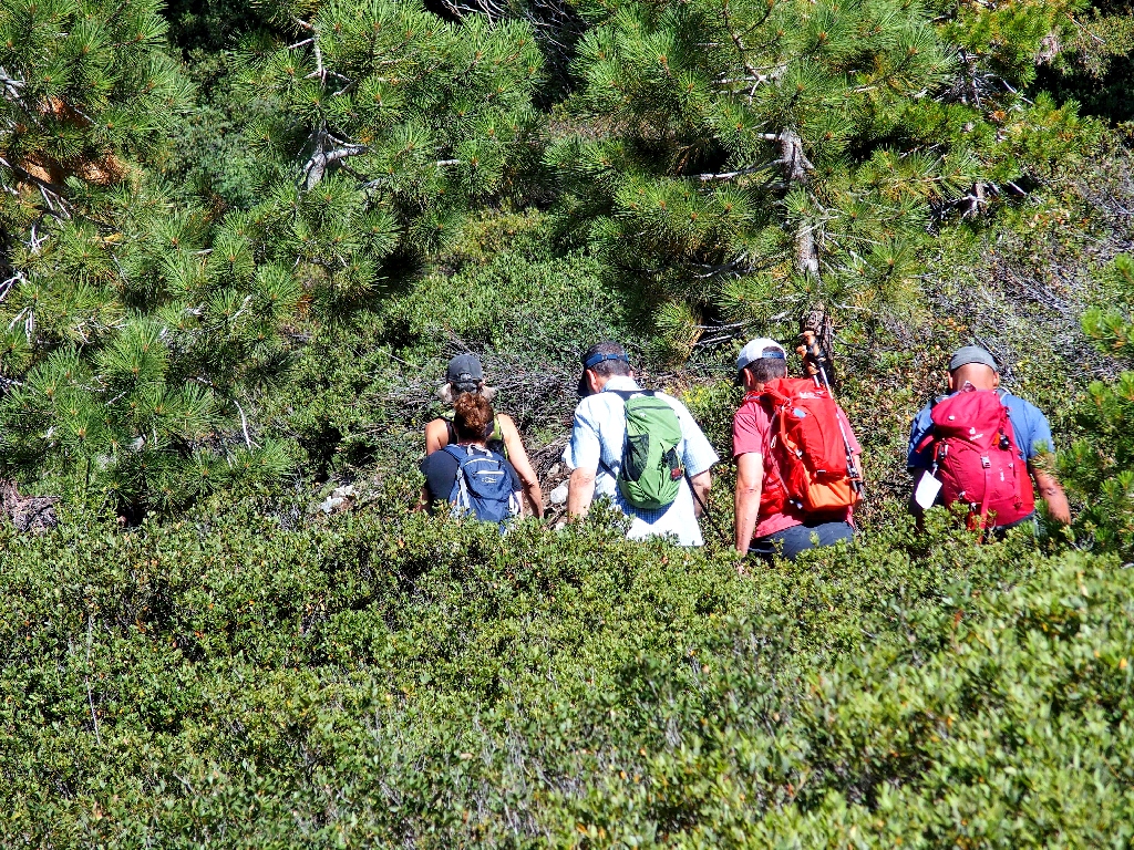
A pair of hikers has paused ahead, on the horrid section of trail.
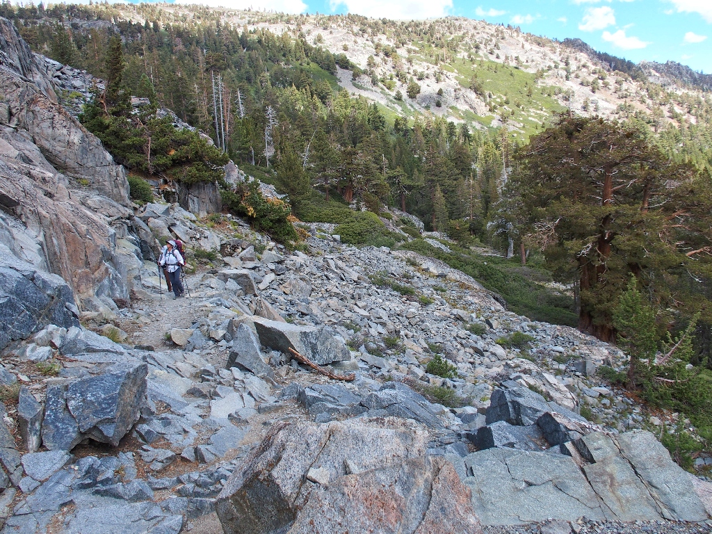
They are looking at something on the rock
As I approach, one of the two women asks whether I am a local. When I assure
her that I am, they inquire about the strange bluish critters flitting about and making
clicking noises. I cannot resist a smile as I inform them that they probably are
observing the dreaded Circottetix Undulatus Thalassinus, or blue-winged
grasshopper!
Shortly after wishing the couple well on their quest to conquer the entire Tahoe Rim Trail, I opt once again for the boat ride, expensive or not. I already have walked eight miles today, and that is enough.
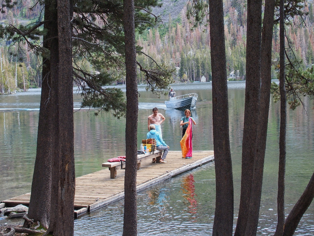
The taxi arrives just as I do
There is but one passenger on board, albeit an important one:
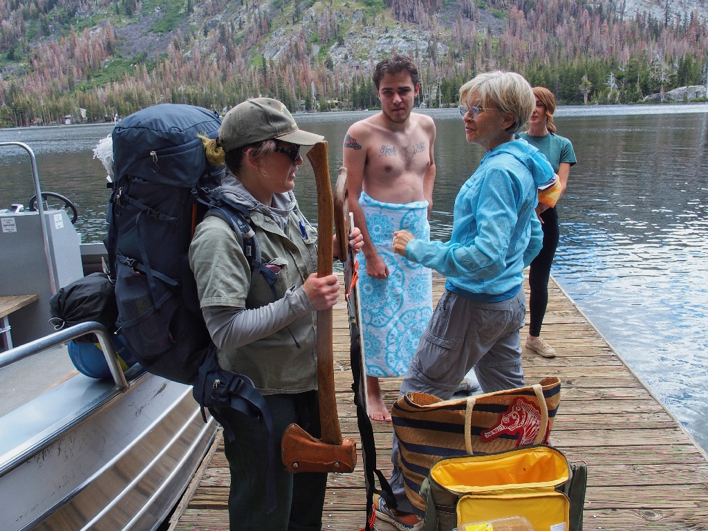
An axe, a long saw, and a 50-pound pack
Of course, I must profusely express my gratitude that such individuals exist, doing an unheralded job solely for the benefit of us hikers.
Another taxi arrives
Back through the fun channel between the upper and lower lakes
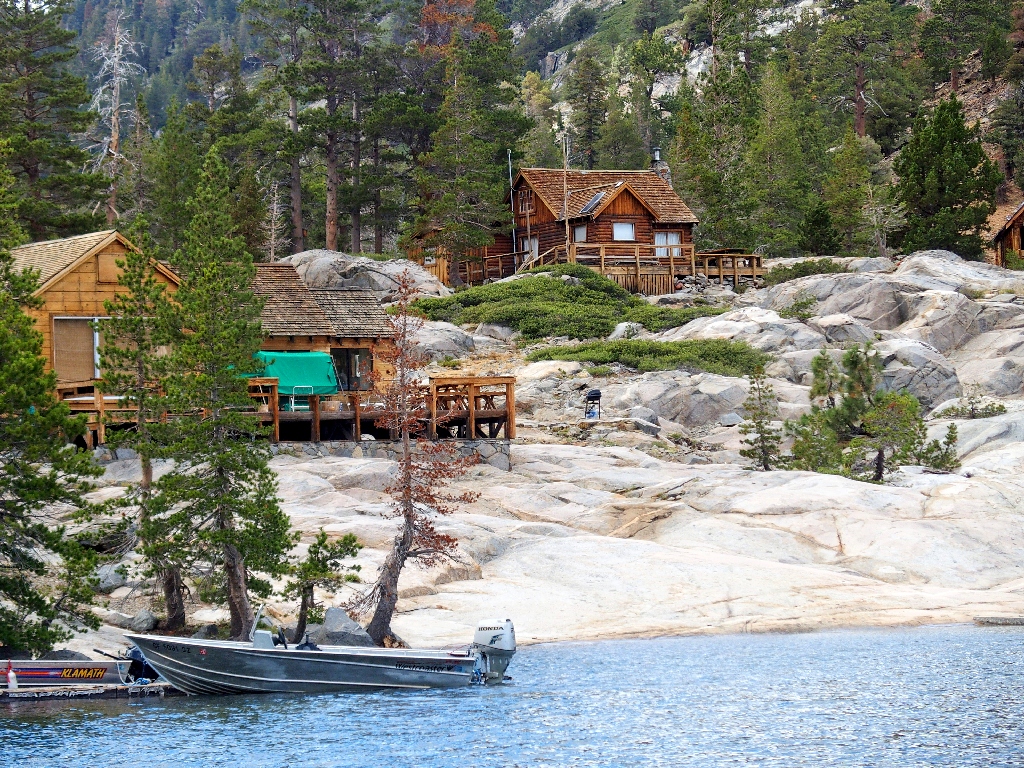
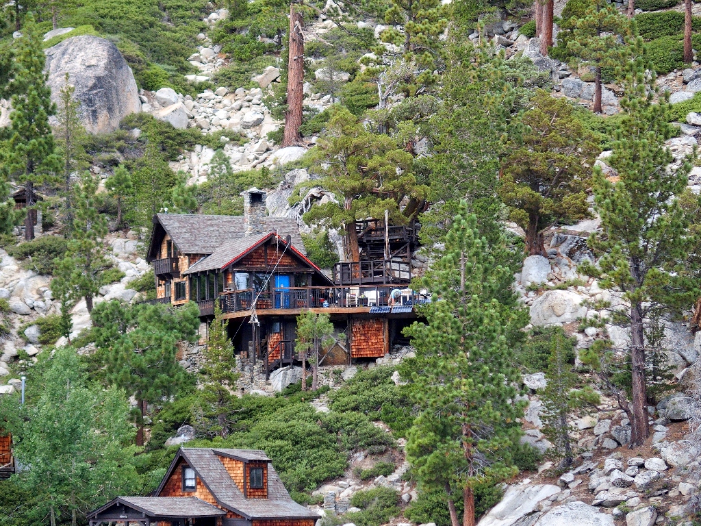
Where the richies hang out
There are about fifty private cabins on the two lake shores.

Rip van Winkle has a kayak
Another primitive abode
Flagpole Peak overlooks the lower lake
§: Well, I did have a good day, and I saw a lot of neat stuff.
I am left, however, with the nagging realization that I suffered two major mental
breakdowns that have cost me dearly in terms of memories and peace of mind.
To start, it was not Triangle Lake that I had viewed, but one of several
nearby ponds. That's why my map was cluttered by waypoints. Moreover,
I already had viewed a bigger body of water during the hillside descent. Also,
the little body of water I saw would not have had a trail named after it, and in any
case there would have been a real path to its shore. Fourthly, it did not occur
to me to wonder about the other waypoints on the map. The combination of these
oversights qualifies, in my opinion, as brain-death.
Later, while perched on Peak 8760, I was wondering why I could not see the two
Angora Lakes, which were known to be nearby. What did not occur to me at the time
was to walk over just a bit closer to the edge of the big dropoff, whereupon I would
have seen both of the lakes directly below. That was another clear
brain-death.
Now I have to return to Echo Peak, if only to capture the lost photo-ops. I might not bother to actually visit Triangle Lake, though.
| Scenery |  |
| Difficulty |  |
| Personality |  |
| Adventure |  |
| Flowers |  |