Serene Lakes Area
|
Rowton Peak Serene Lakes Area |
July 25, 2023
Recently a faithful reader named Mark wrote and asked why I seemingly have ignored
hikes in the Serene Lakes area. Actually, I was inexplicably unaware that the
Royal Gorge ski complex now features a series of biking-hiking trails to complement
the cross-country ski routes; so it is time to do some exploring here.
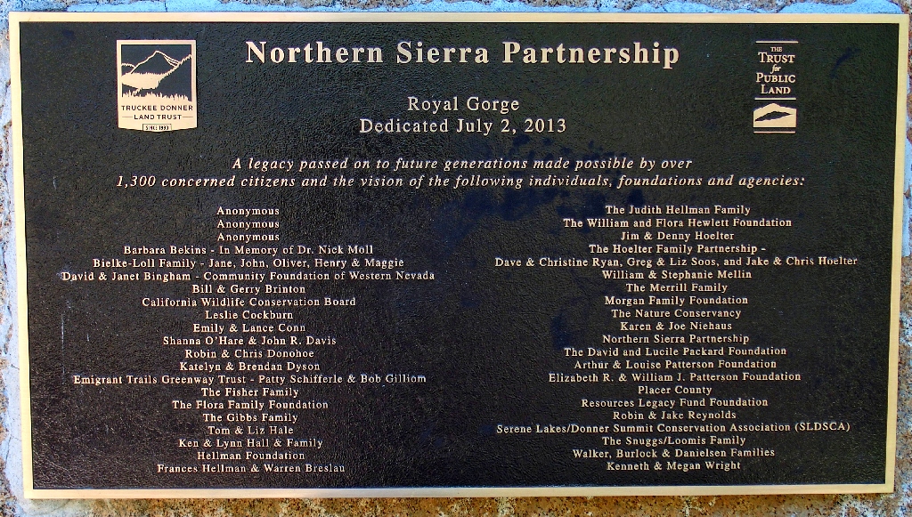
The Truckee Donner Land Trust has been doing wonderful things in the region
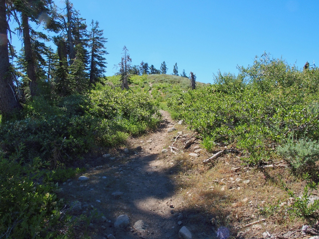
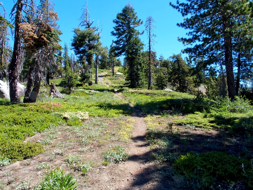
Starting up the Tiny Tim route
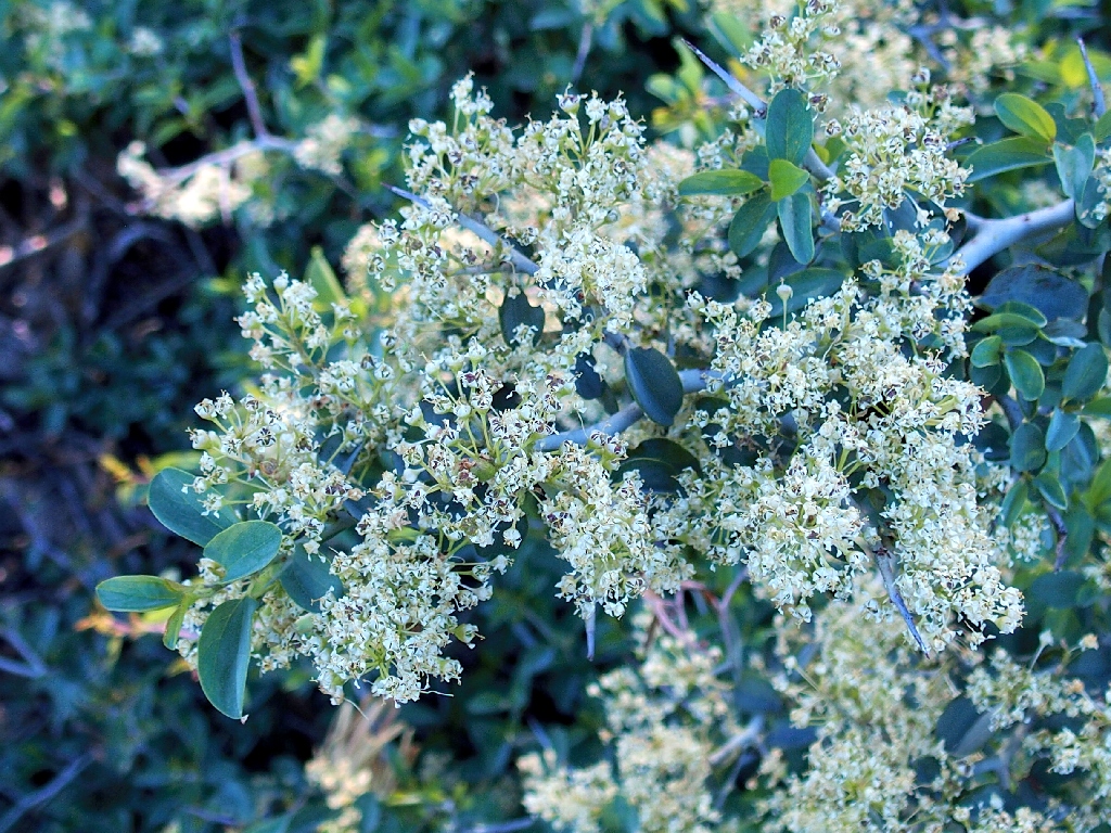
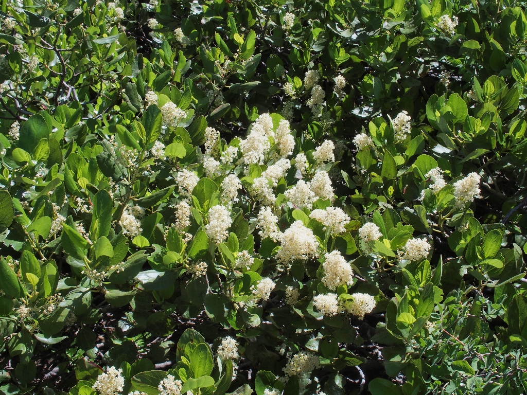
Whitethorn Ceanothus
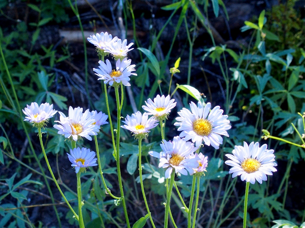
Wandering Daisy
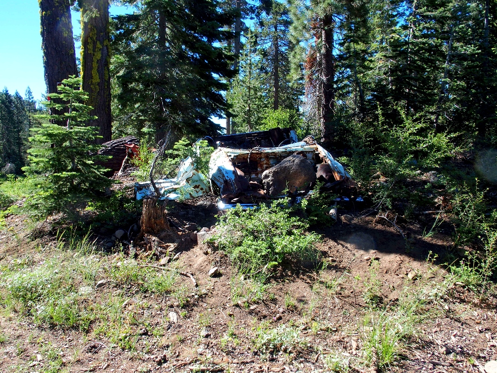
Why is this piece of crap still here?
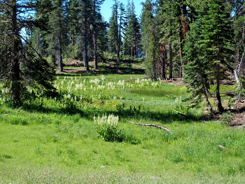
A grove of Corn Lilies
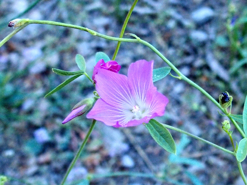
Waxy Checkerbloom
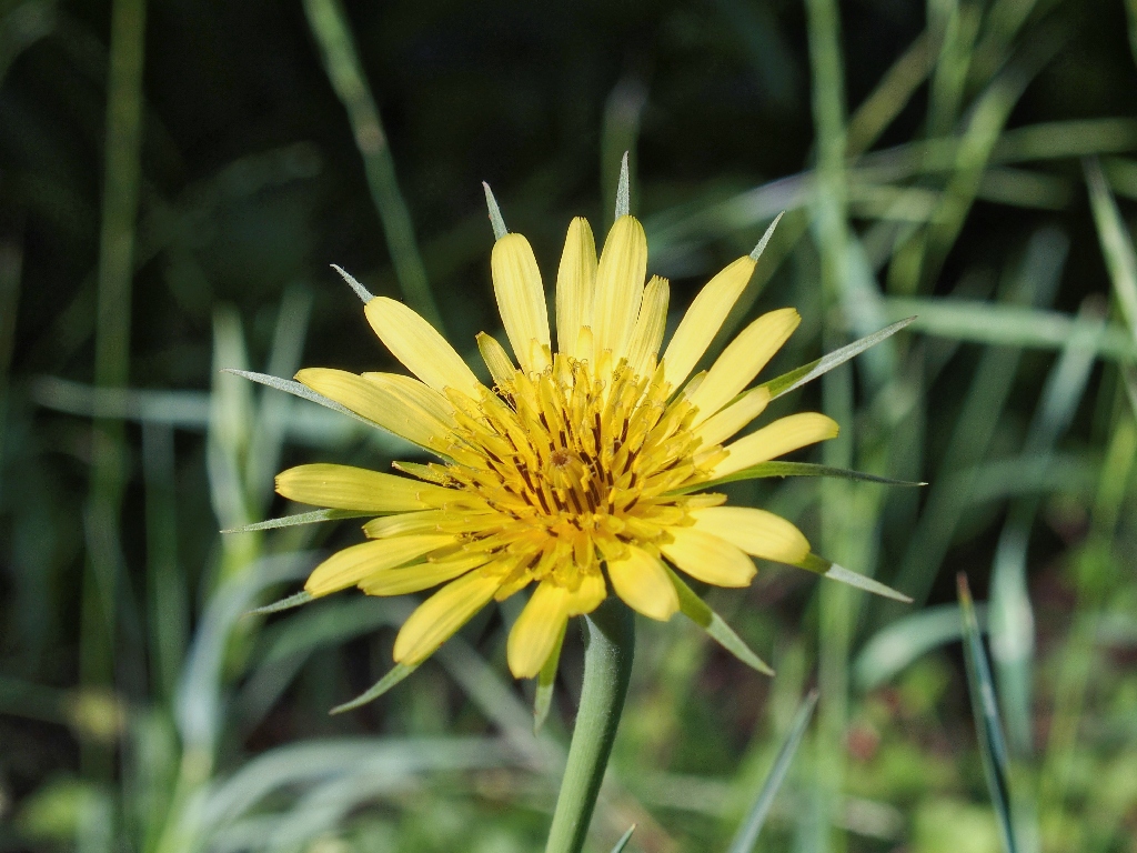
Goatsbeard
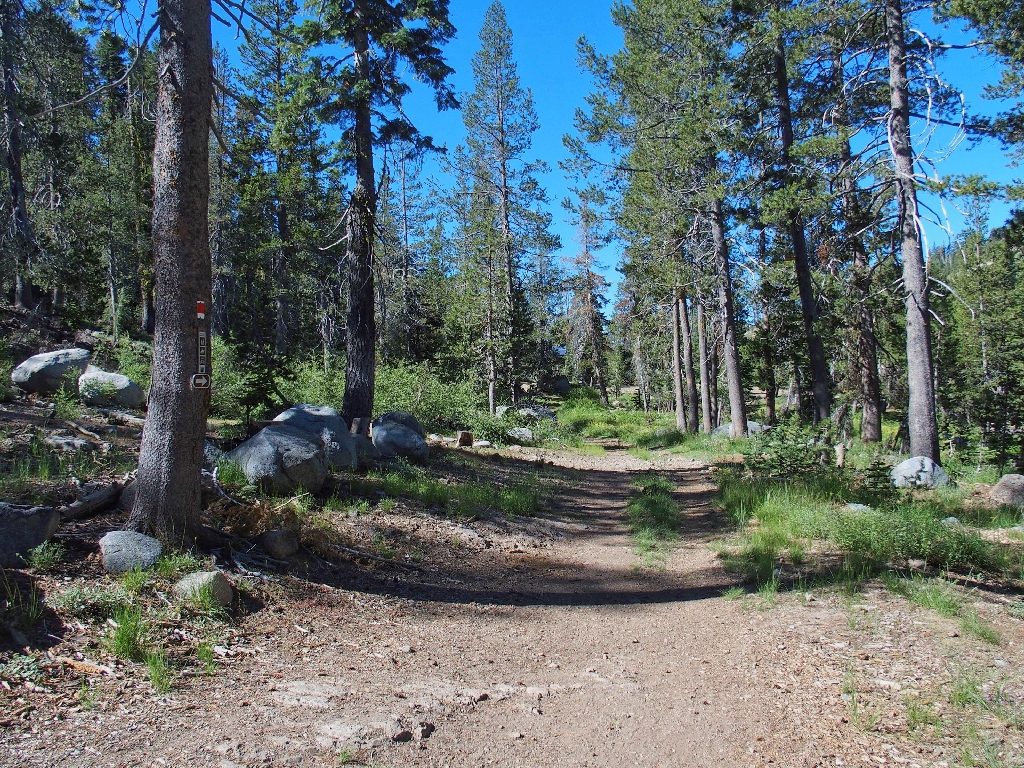
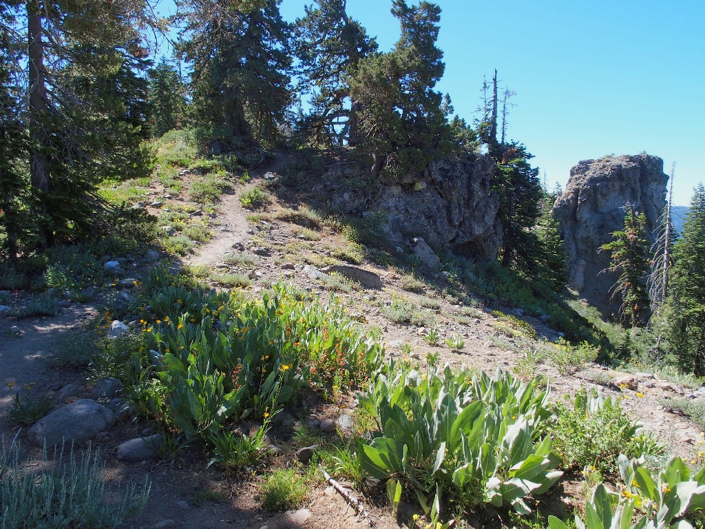
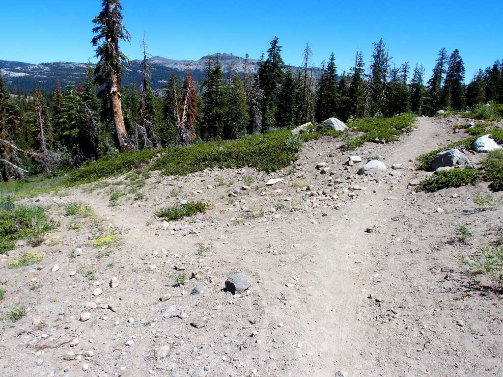
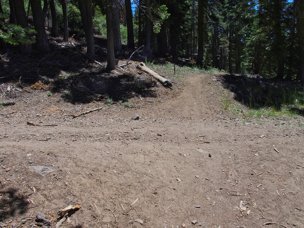
At a four-way junction, I turn right onto the Rowton Peak Trail.
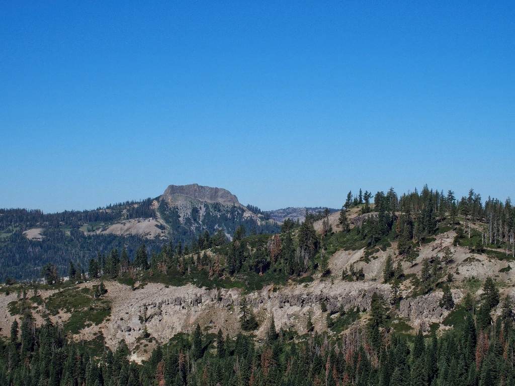
Castle Peak to the north
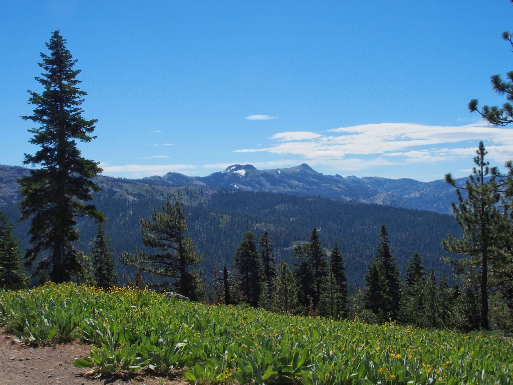
There are non-stop flowers along the route, which of course is standard fare for any Sierra hillside in July.
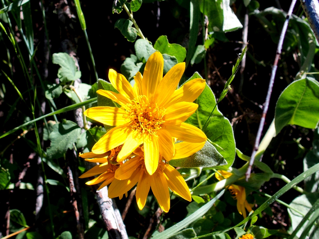
Woolly Mule's Ears
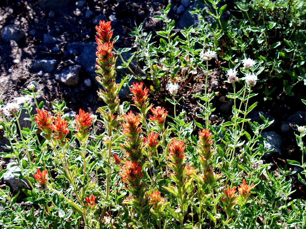
Wavyleaf Indian Paintbrush
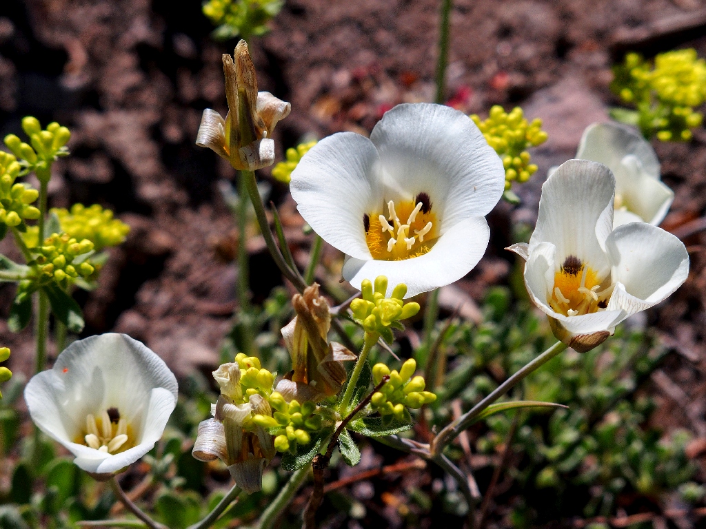
Mariposa Lily
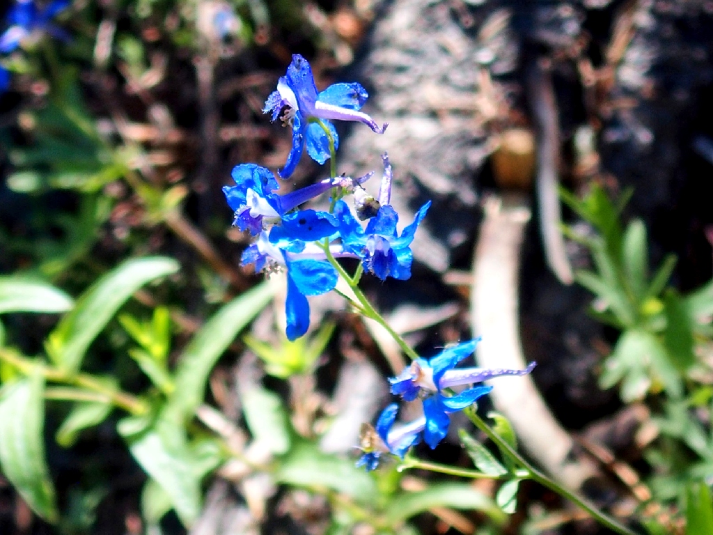
Twolobe Larkspur
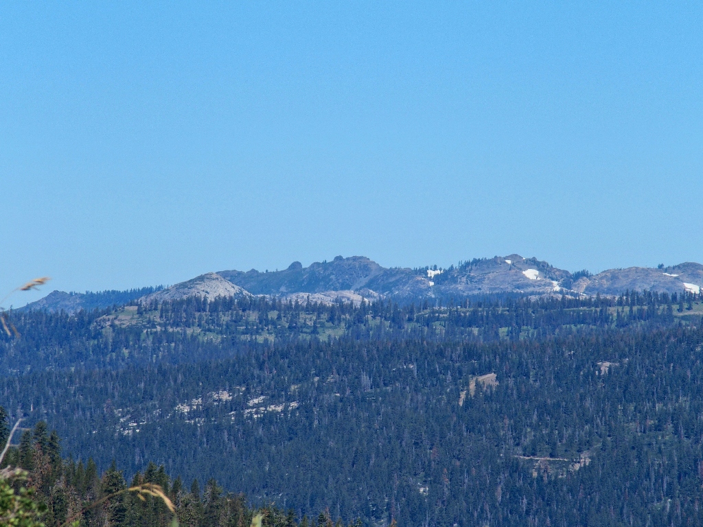
Across the canyon to the west is the focus of the other hike available from the same trailhead.
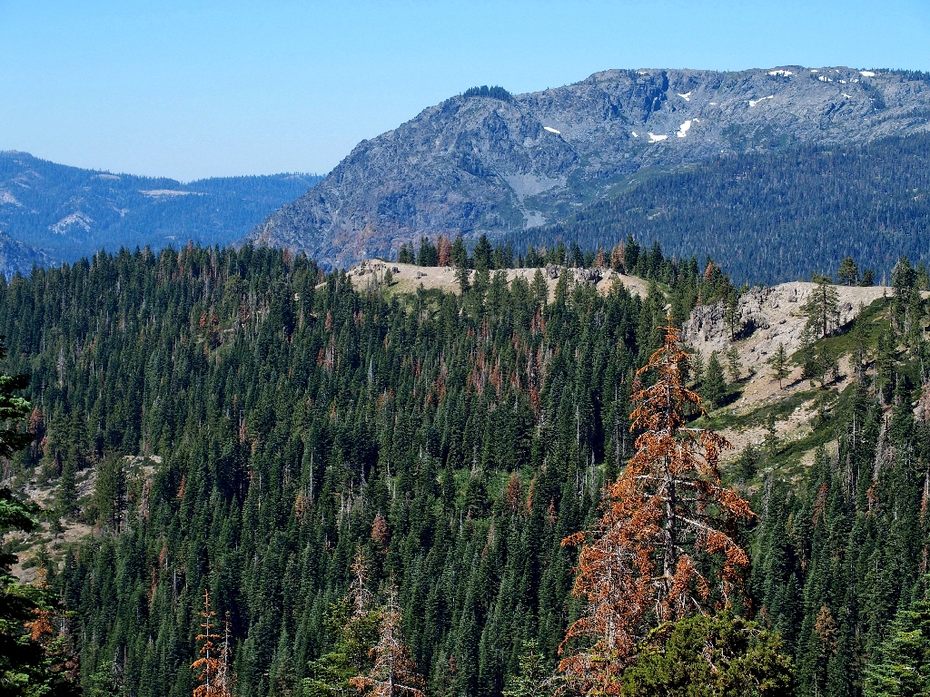
Royal Gorge Rim (center), and Snow Mountain behind it
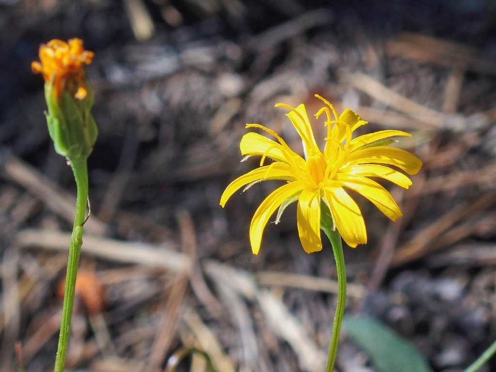
Two-flowered Dwarf Dandelion
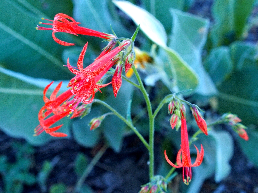
Skyrocket
A false summit
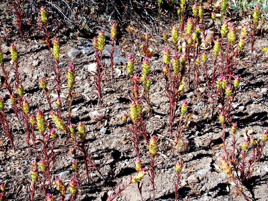
Purple Owl's Clover
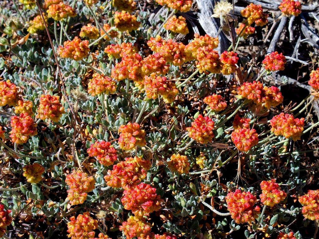
Sulfur Flower Buckwheat
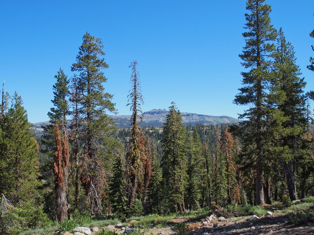
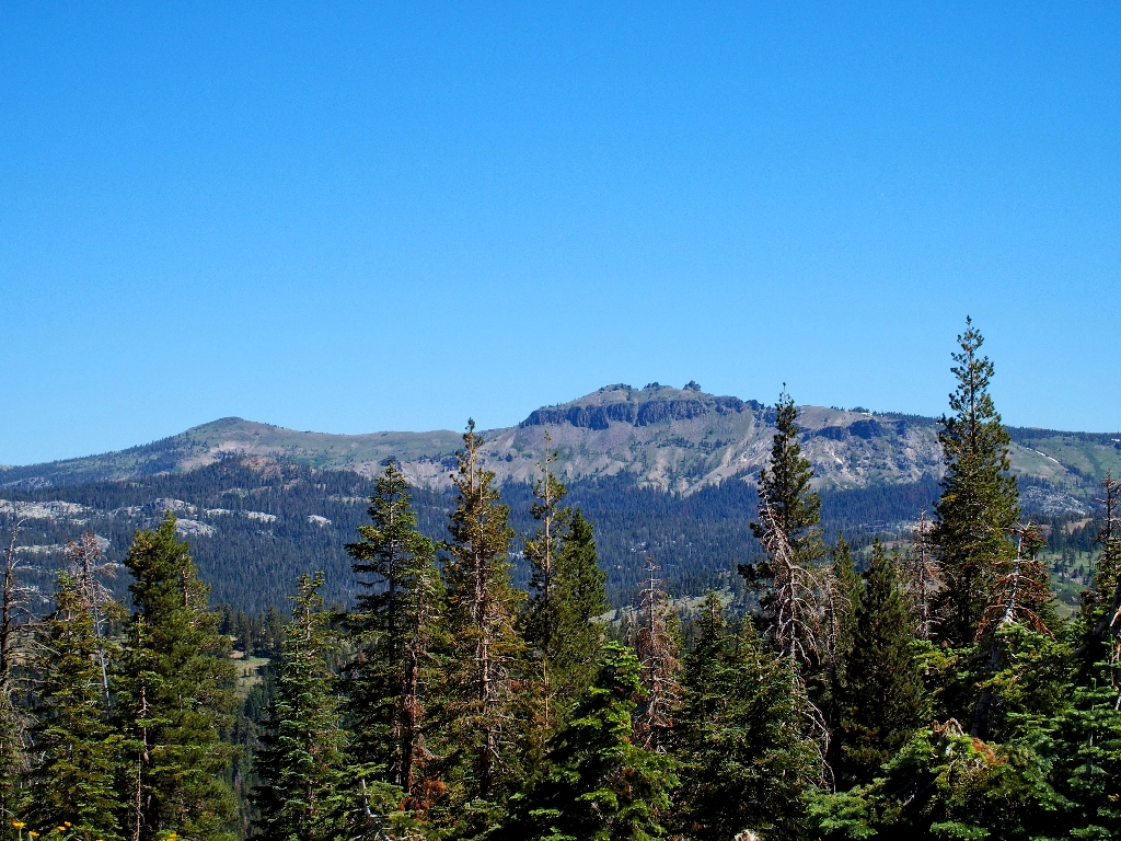
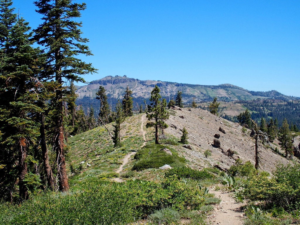
Devils Peak to the west
Buck Brush
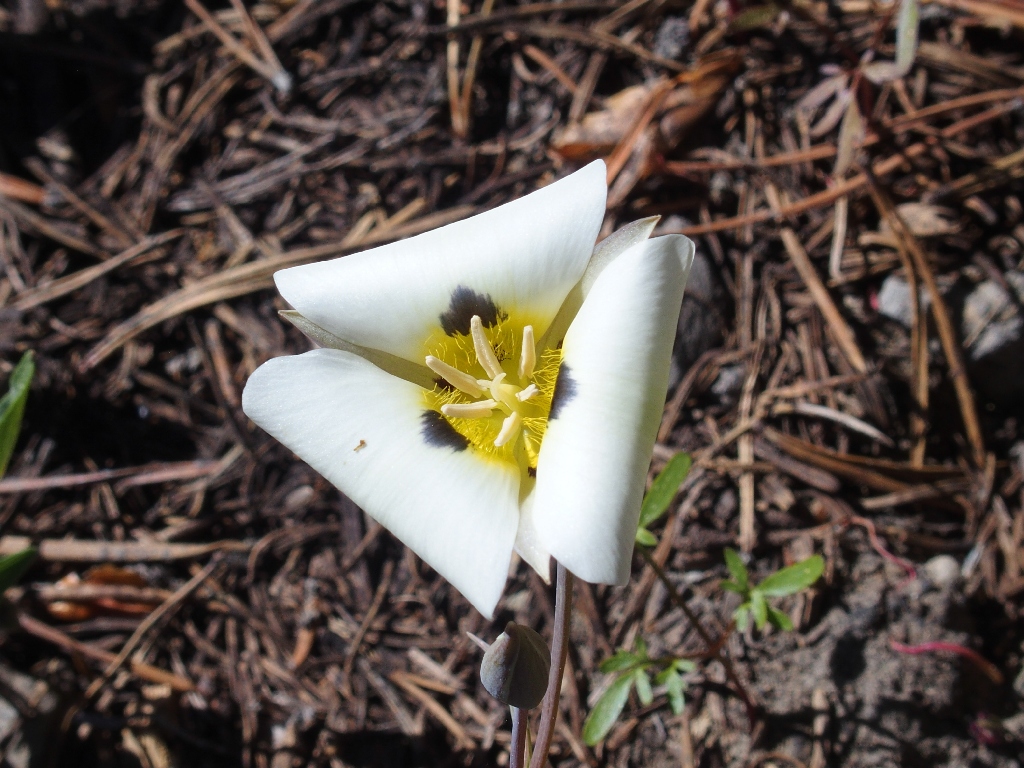
This Mariposa Lily is geometrically curled
Approaching the summit
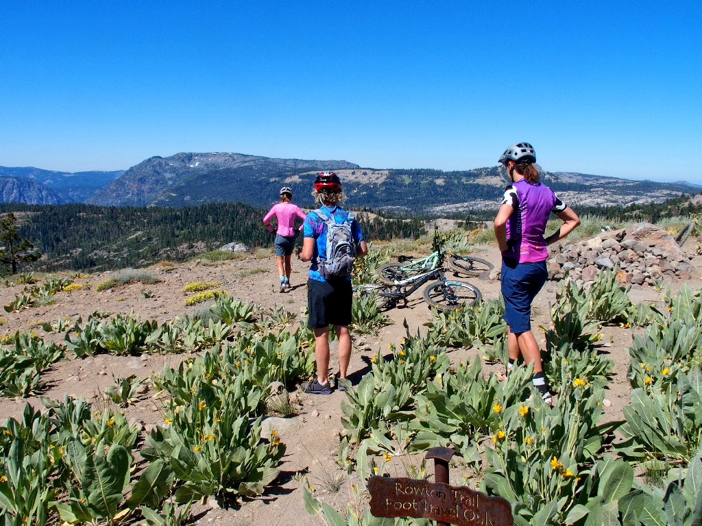
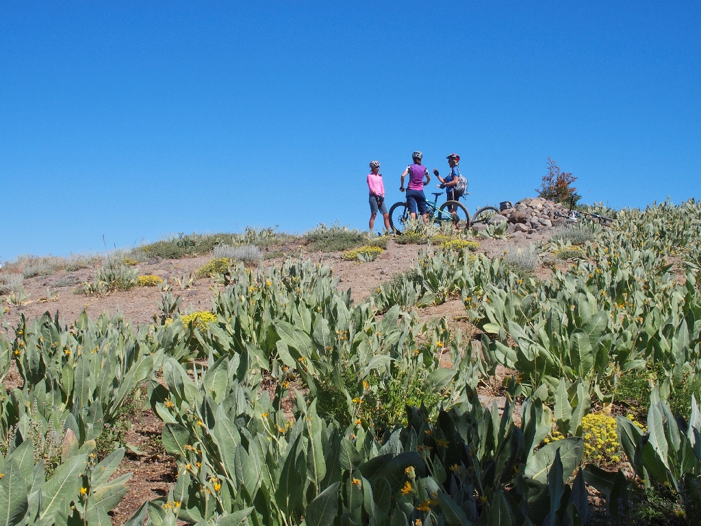
I am not alone at the top, which also is known as Lola's Lookout
A true 360-degree view is to be had up here.
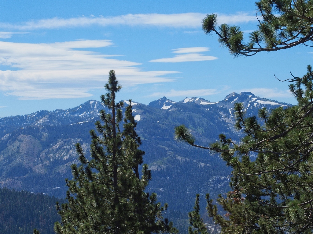
Granite Chief Wilderness to the south
Castle Peak in the north
Black Buttes are northwest
Anderson Peak and Tinker Knob are southeast, on the PCT
The view from my lunch spot
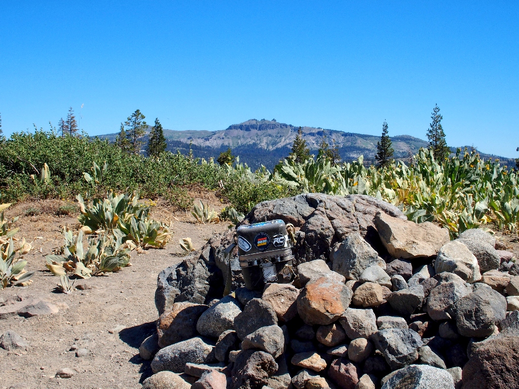
An elaborate cache box contains notes and goodies
Also adorning the summit is one of my favorite flowers:
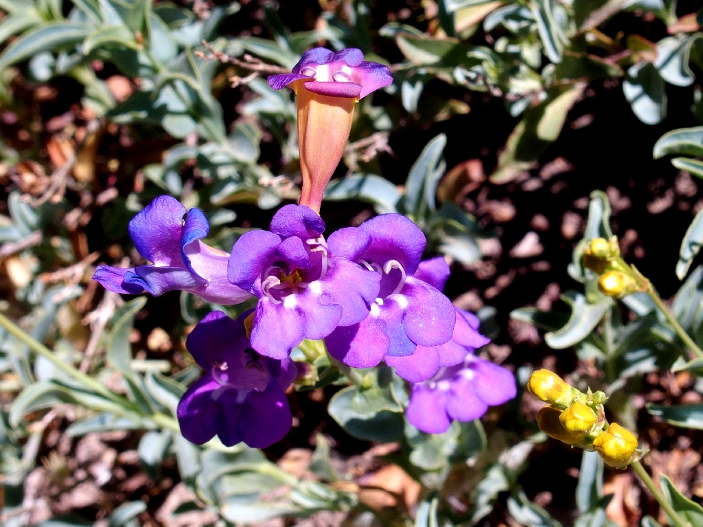
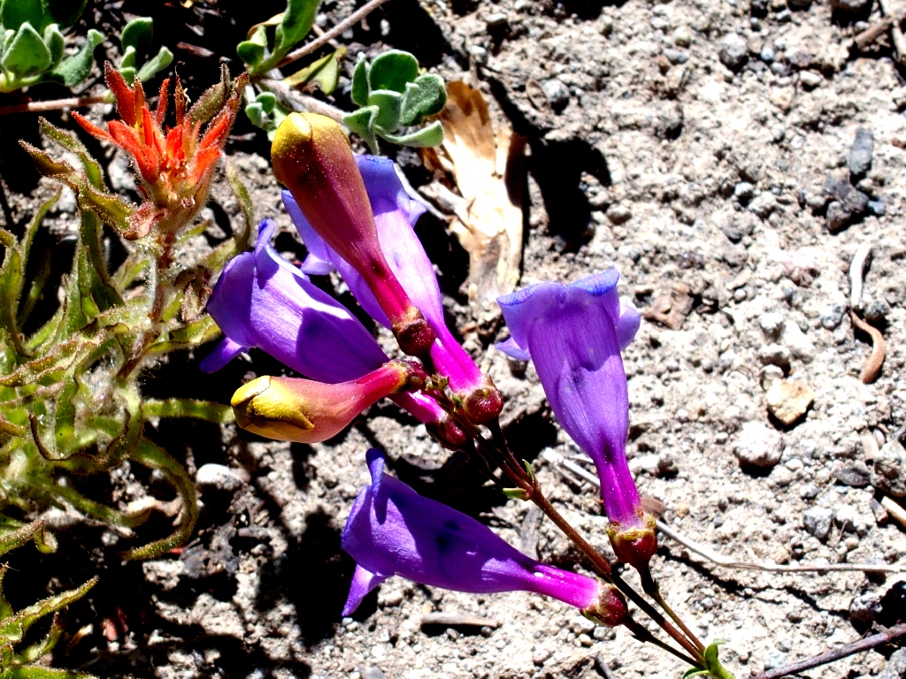
Purdy's Penstemon are just about the most colorful entities on any trail
There are three choices of continuation from here; I'll opt for the one that stays up high on the ridge top, and see what happens.
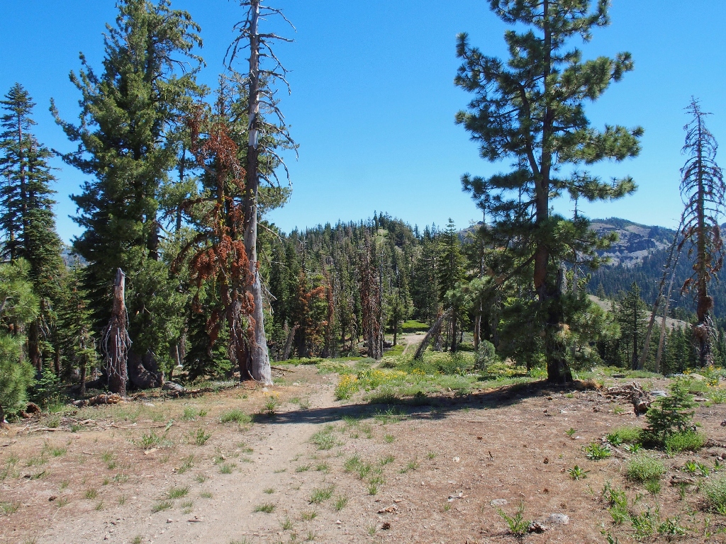
I see a trail up the next hill
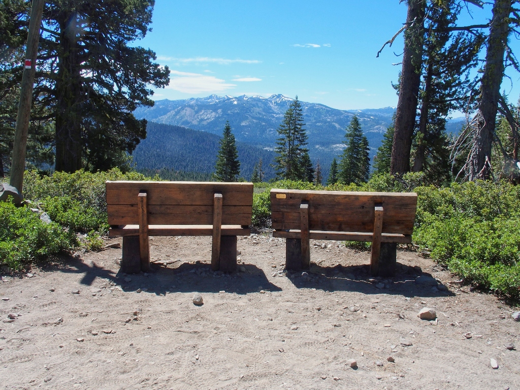
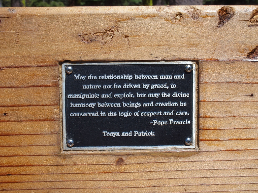
Some nice benches overlook the Granite Chief area
Somewhat out of character, I am leaving the area covered by my printed map. It's adventure time!
I'll see where this one leads
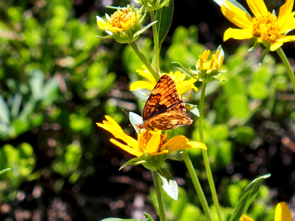
Northern Checkerspot
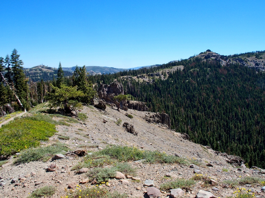
Serendipitously, I have found the most scenic portion of today's route. I really need to watch for a spur trail, however, that would take me back the other way.
On the Razorback Route
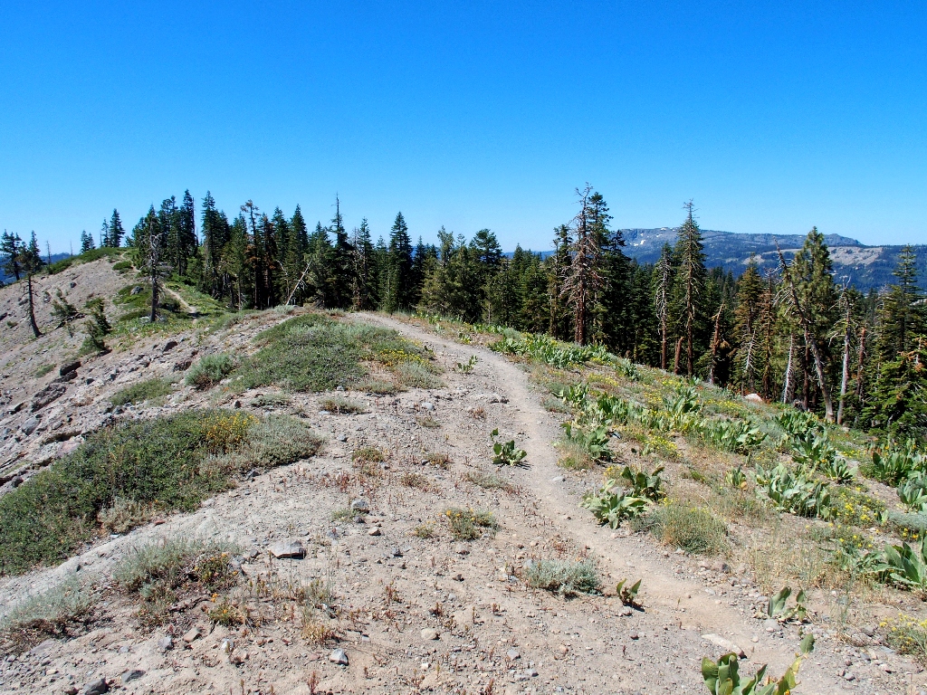
Looking back
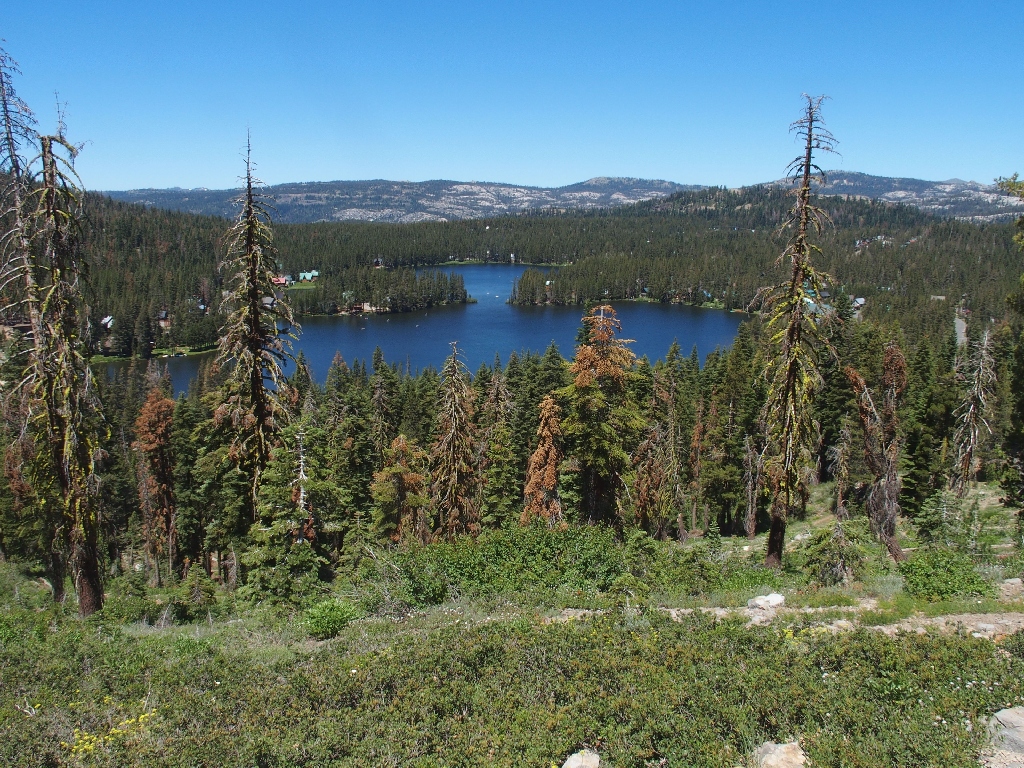
A nice vista opens to the west, providing a first glimpse of the Serene Lakes.
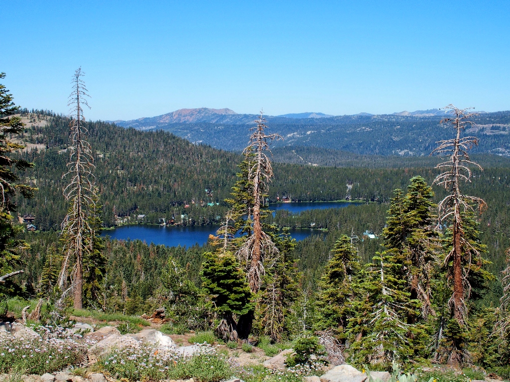
Lake Serena (top) and Lake Dulzura (bottom) allegedly were named by Mark Twain
On topo maps these bodies are shown as Ice Lakes, because before modern refrigeration was invented, they served as San Francisco's principal source of ice after the transcontinental railroad provided ready access to this area. After four years, that operation was moved down to Prosser Lake near Truckee.
Still heading away from the trailhead, toward Crows Nest and the Sugar Bowl Ski
Complex
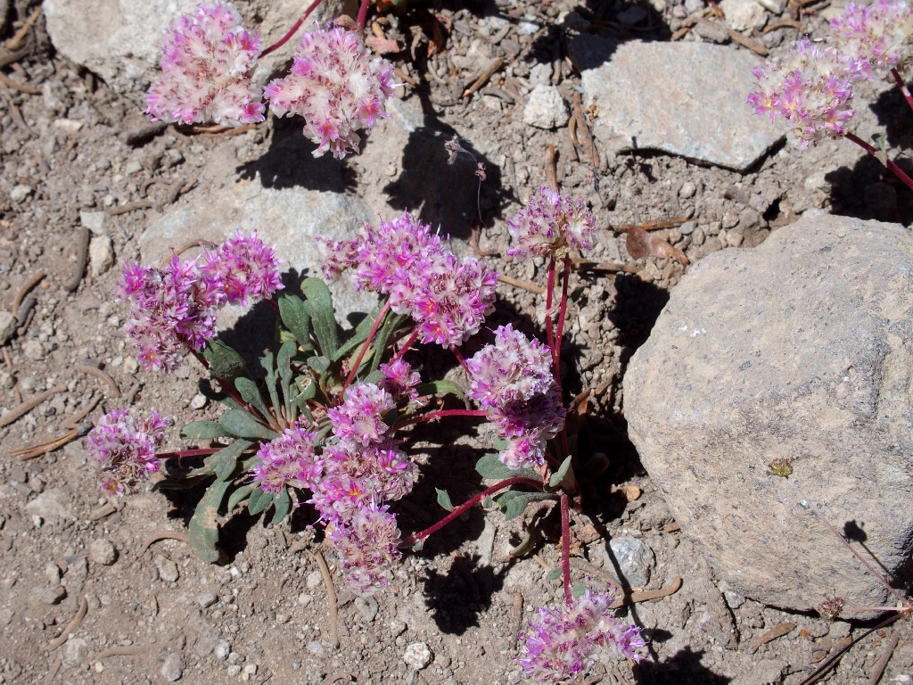
Mt. Hood Pussypaws
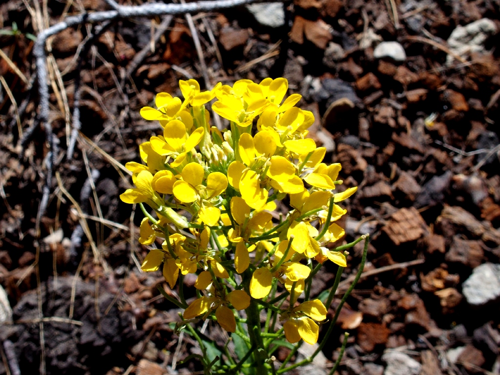
Western Wallflower
Hello. Is my salvation at hand?
The cutoff I've been hoping to find
A hundred yards down that spur route, I encounter another bike trail. Guessing
to turn right because it heads downhill, I stop a quarter-mile later, because my
GPS is screaming to go the other way. After a recalibration of the compass, the
readings remain the same; so I turn back up the switchback-laden path.
Usage of these bicycle-tailored trails can be a bit frustrating, mainly because the walking distances are greatly increased over what would be necessary for an ordinary hiking trail. Also, using a GPS on such routes can be confusing, because at times one seems never to get any closer to the objective waypoint, and the compass arrow continually changes direction.
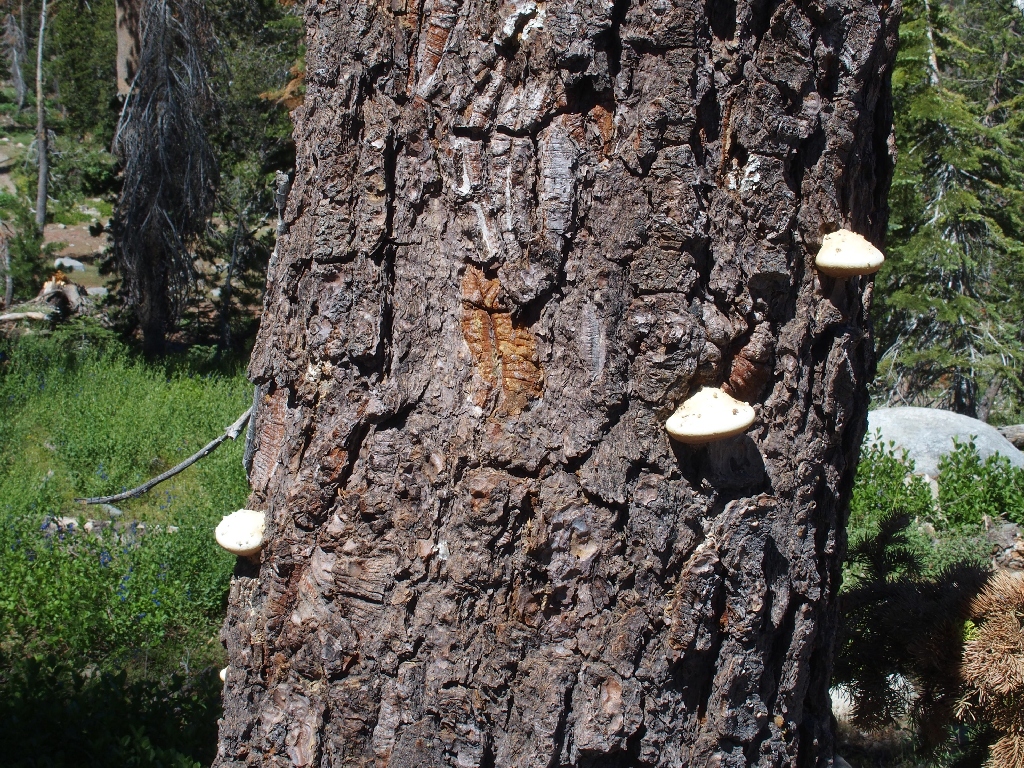
Poluporaceae Fungi
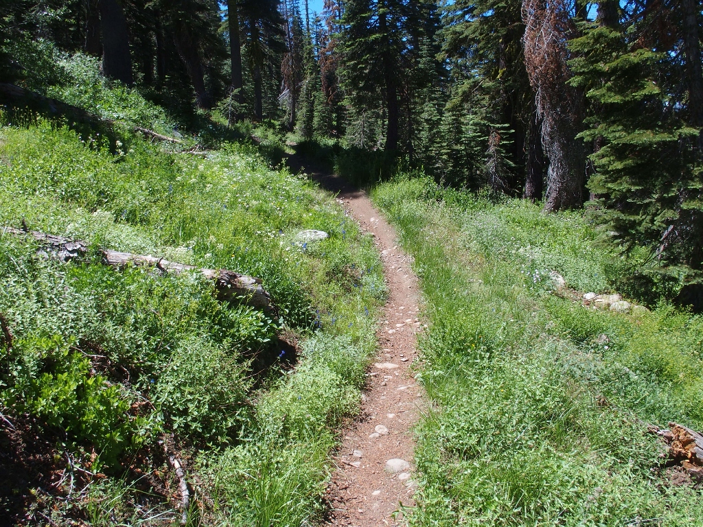
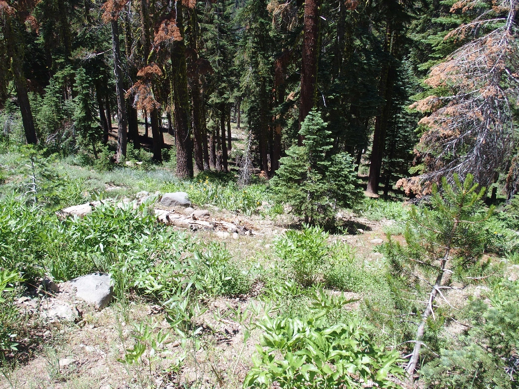
A greener section
Eventually, this path leads back into mapped territory. Another long set of switchbacks gets me down to a major junction.
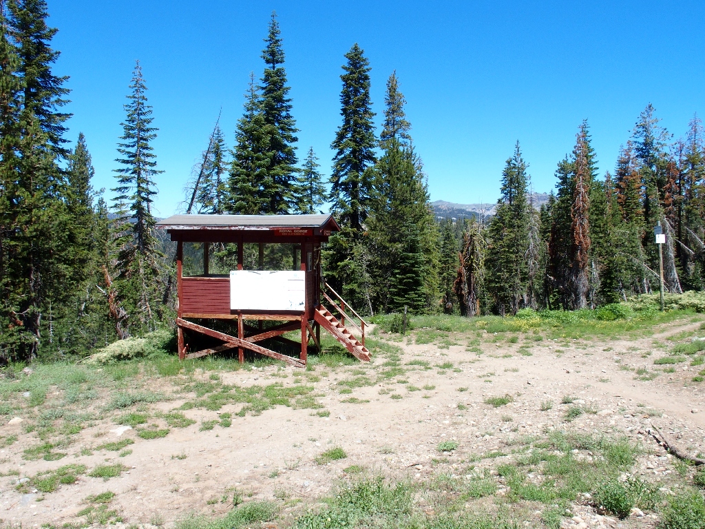
A skiers' warming hut
There are eight such huts here at Royal Gorge, the nation's largest cross-country ski facility, where six trail systems meander through 6,000 acres of forest; and now there are many miles of mountain bike trails as well.
From this point, both a ski-road and a trail head westward. I opt for the trail; if I were tired, I would use the roadway.
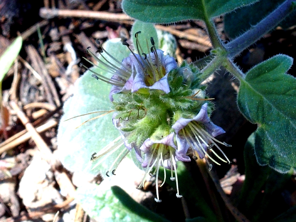
Branching Phacelia
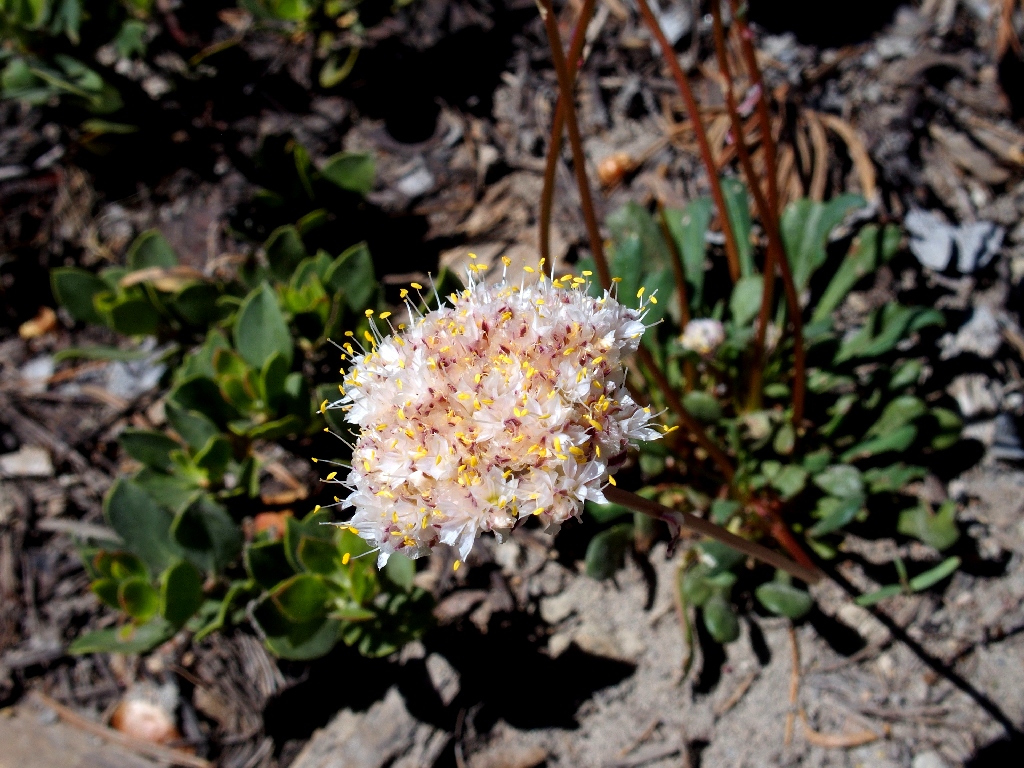
Oneseed Pussypaws
Serene Lakes reappear
Swimming is disallowed in the upper lake, which serves as the community water supply.
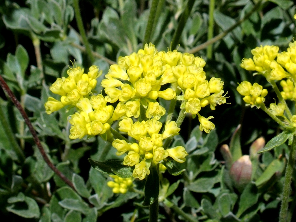
Sulfur Flower Buckwheat
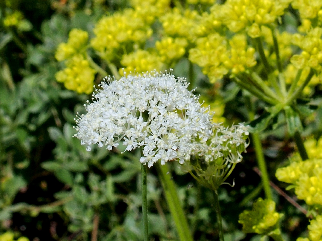
Masterwort
Completing a loop
Rather then traipse back down the roadway, another switchback route takes me to the trailhead.
The car is down in those trees
§: Well, I did my duty, and I'm glad. As with all the mid-elevation
Sierra points, this one normally is best-visited in June or July, before the mule's
ears and their friends dry up from the summer heat.
In retrospect, it seems that had I not turned around, I would shortly have intersected the Bogus Basin Trail, for a shorter and more direct route back to the warming hut.
It also seems that on the way up to Rowton Peak, I missed a nearby natural bridge
that apparently was not readily visible from the trail. Bummer. This
diehard arch-lover will be sure to find it next time.
| Scenery |  |
| Difficulty |  |
| Personality |  |
| Adventure | |
| Flowers |  |