
Vaca Mountains
|
Stebbins Cold Canyon Reserve Vaca Mountains |
May 9, 2023
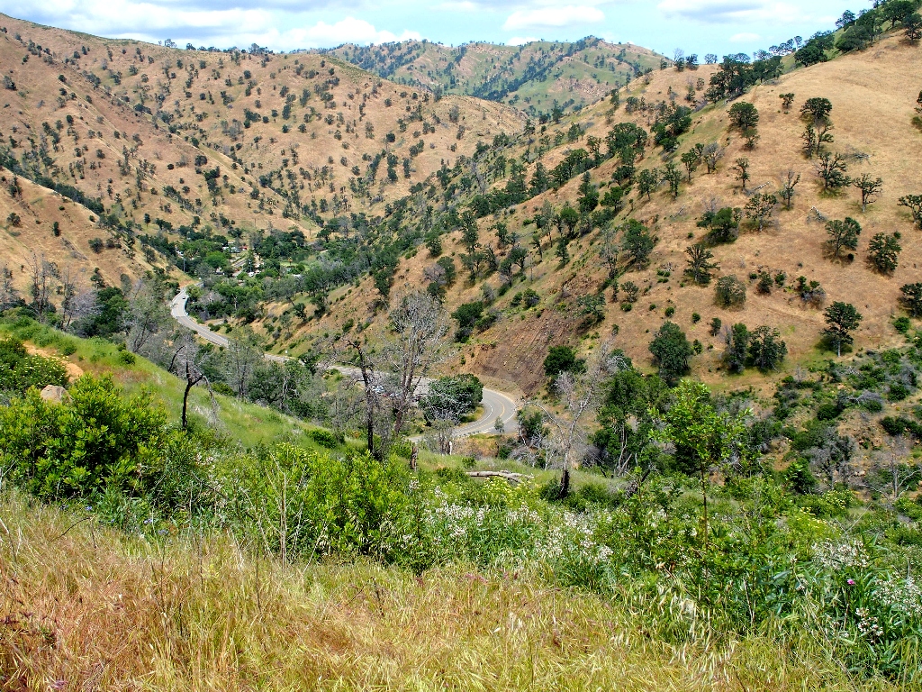
My last visit here was in 2017, just a year and a half after the fire that burned the entire canyon and ridge top as well. Although the trail was open then, the walk was rather depressing. Today, however, seems to be a different story; everywhere I look from the trailhead, the landscape is solid green! This is good.
The trail itself is across Highway-128. A few years ago, access was
re-routed through a culvert under the road, so as to eliminate the dangers of
crossing it on a blind curve. Today, however, I would rather brave the traffic than
the water pouring through the pipe. Cold Creek has not hosted this much water
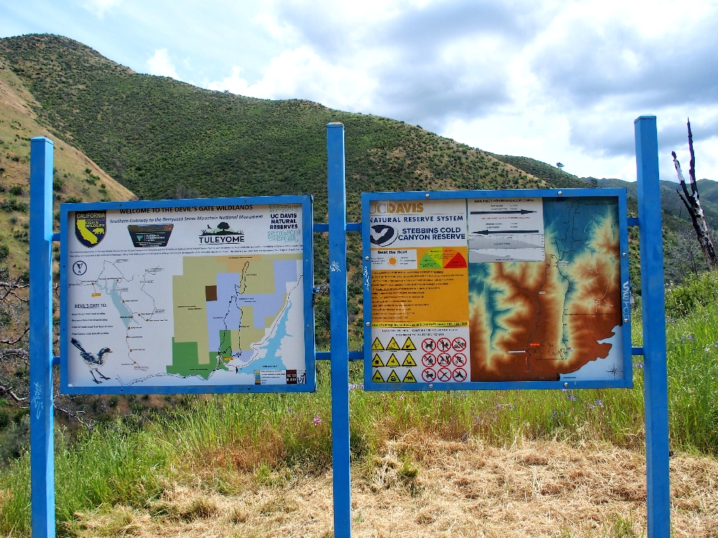
in many years. This means that I must ignore the "Do Not Enter" signpost just
before reaching the kiosk where I make the suggested $3 donation.
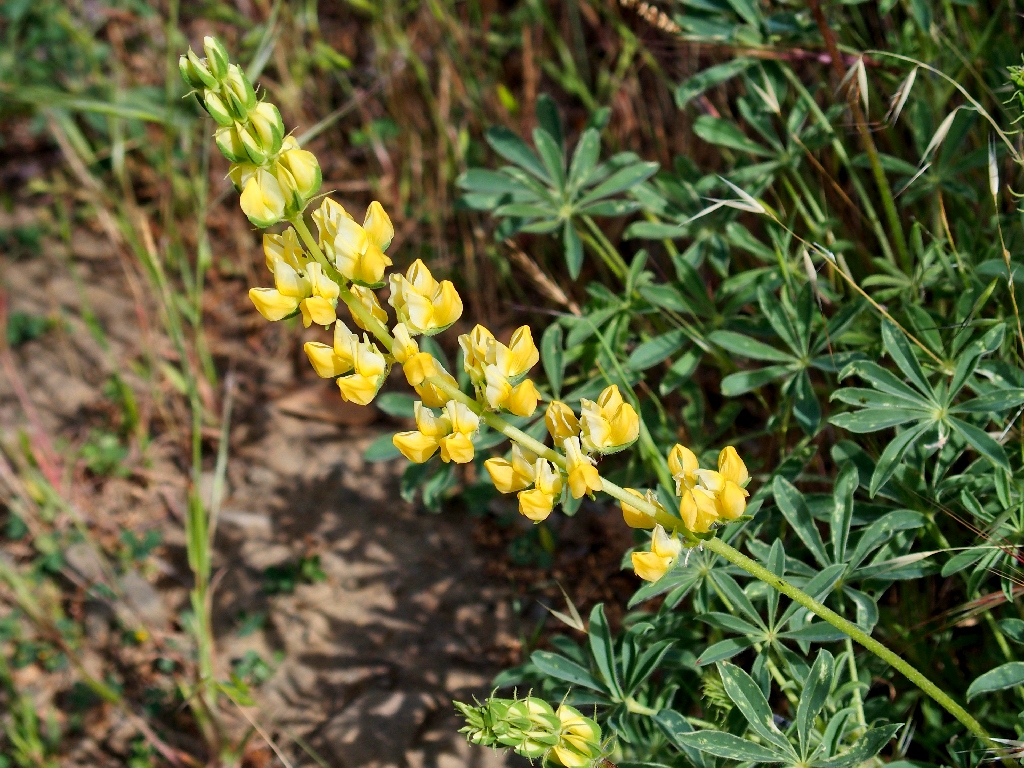
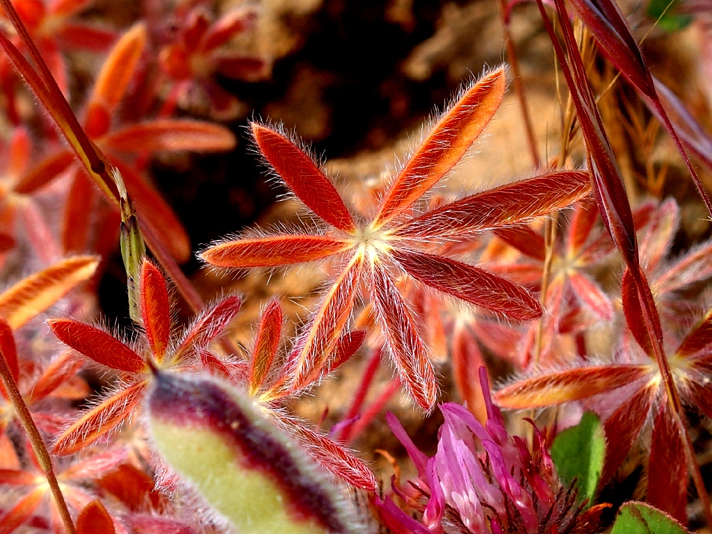
Chick Lupine
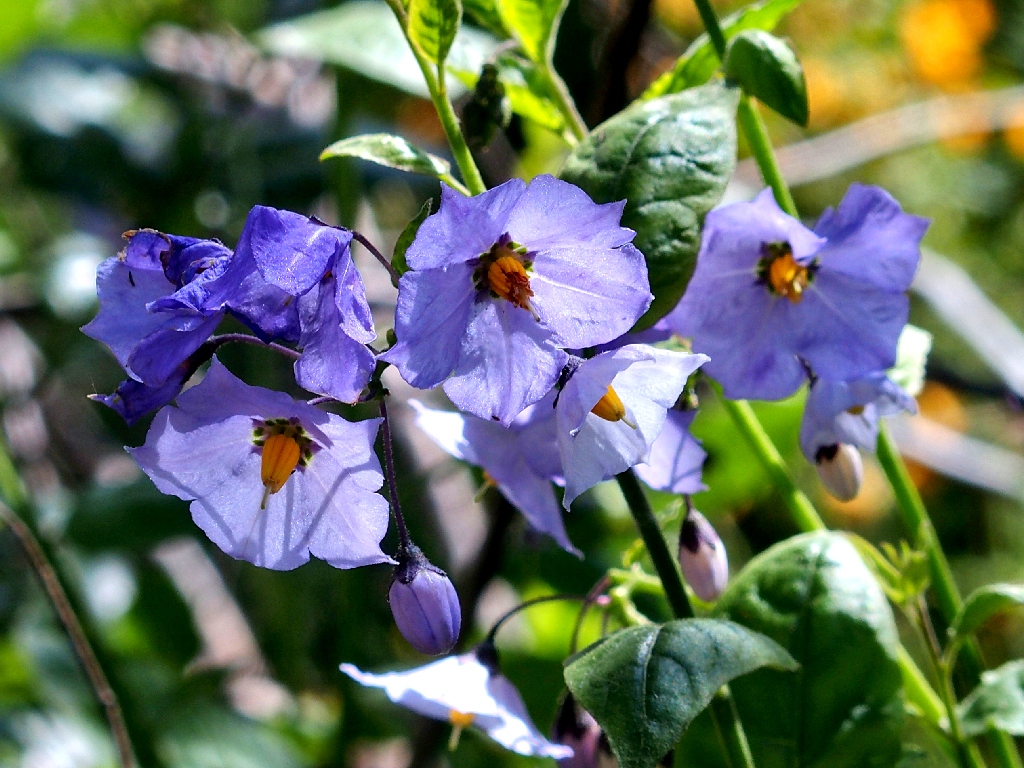
Bluewitch Nightshade
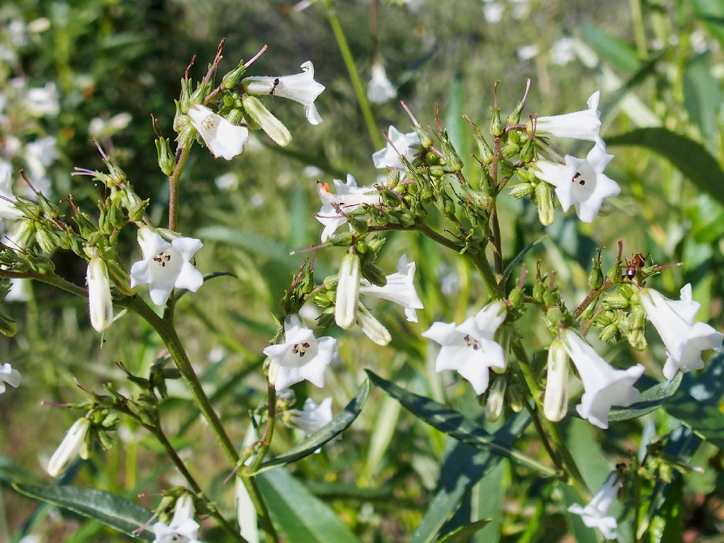
Yerba Santa
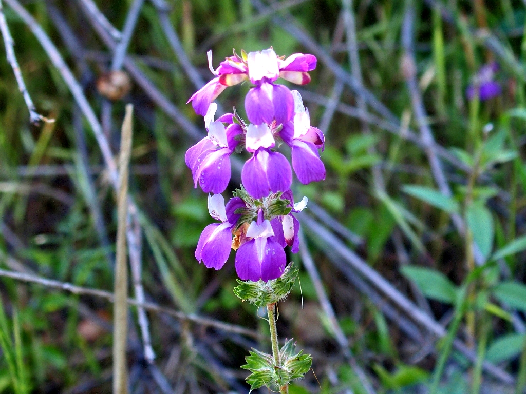
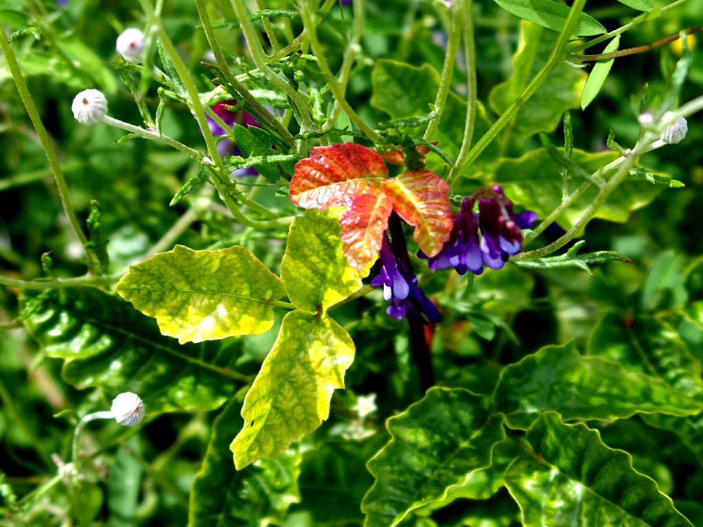
Purple Chinese Houses
Ithuriel's Spear
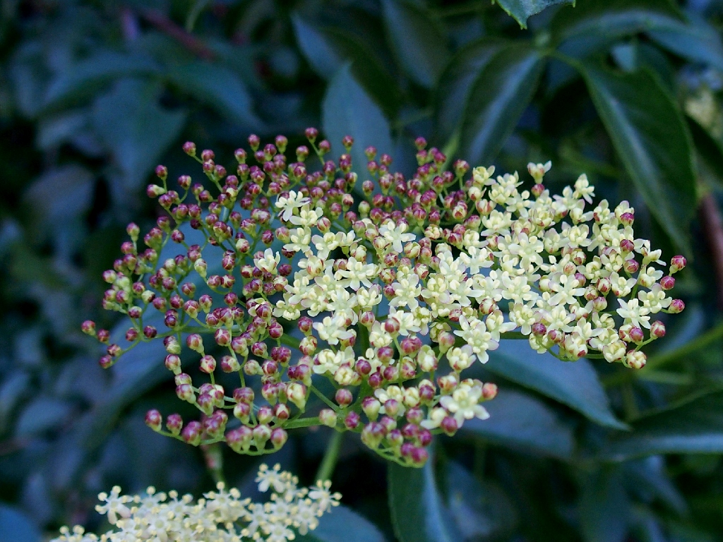
Elderberry
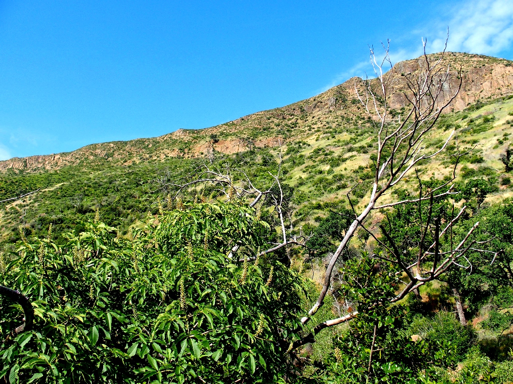
That's the return route, way up there
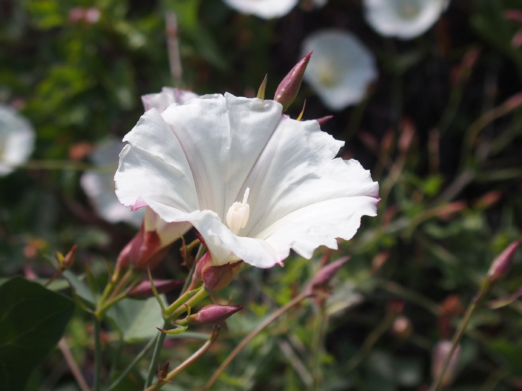
Pacific False Bindweed
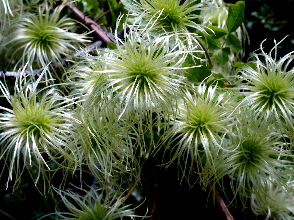
Pipestem Clematis
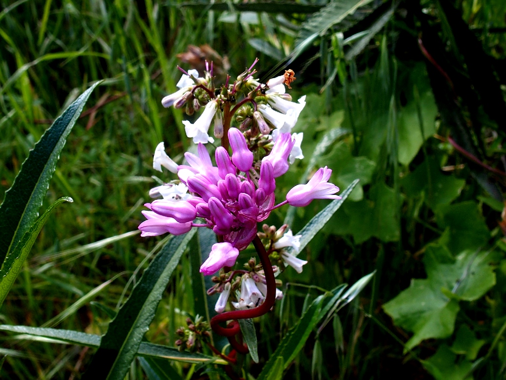
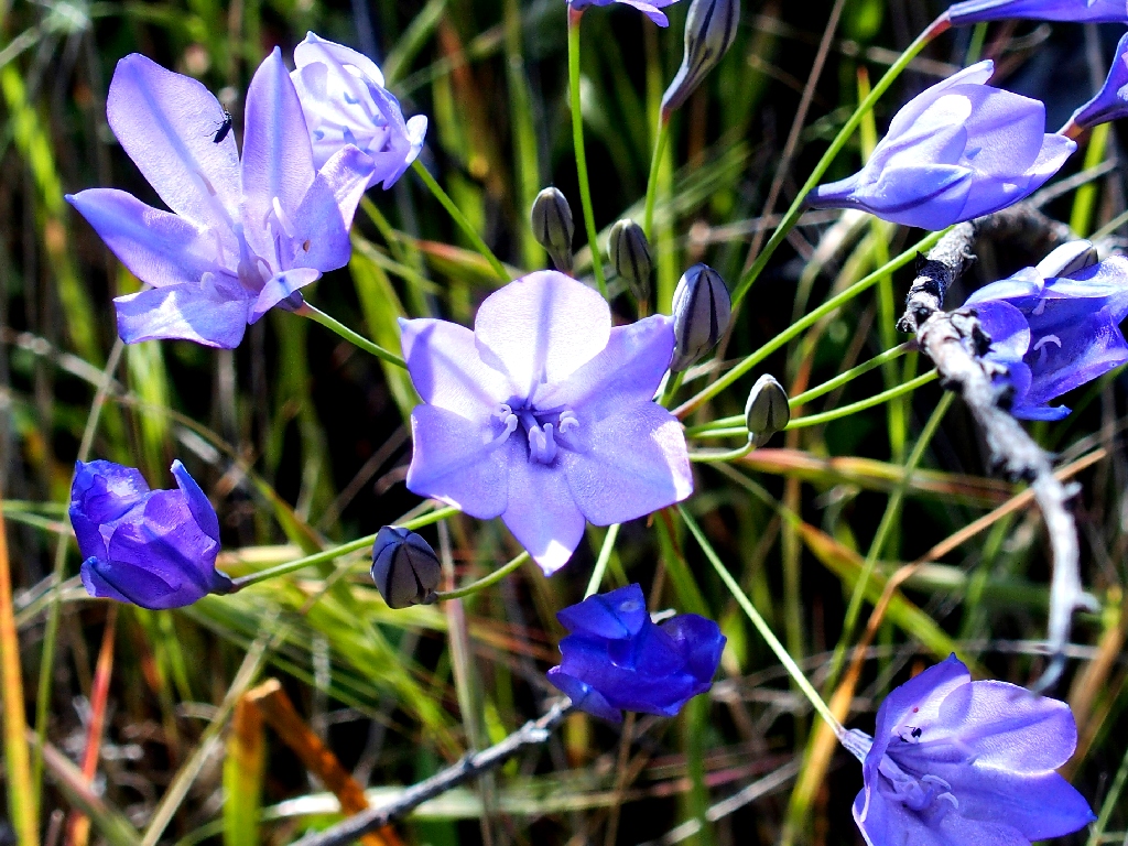
Twining Snakelily
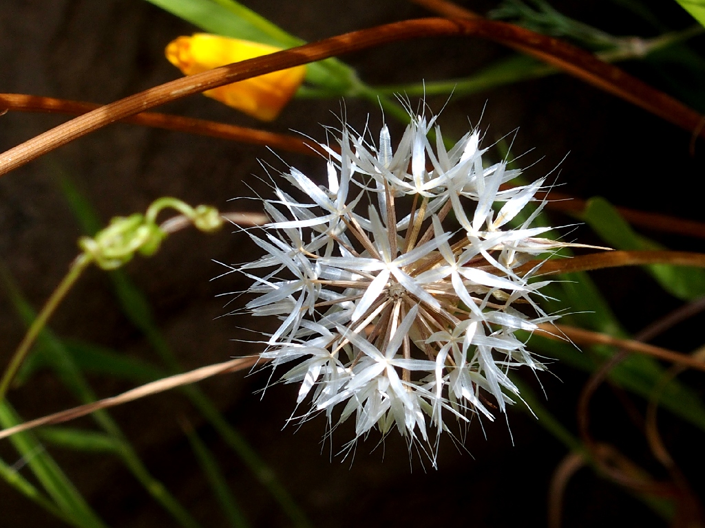
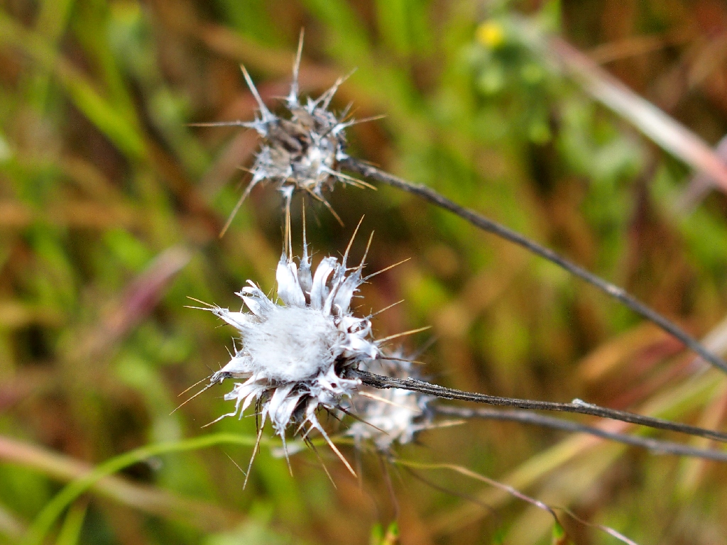
Blow Wives
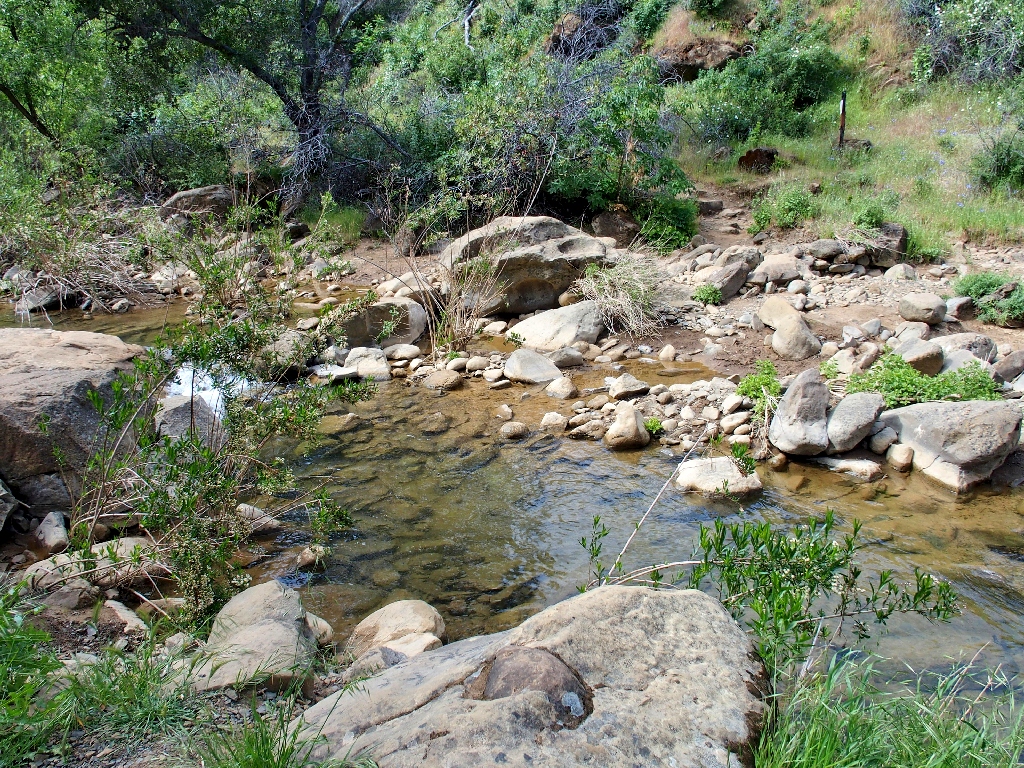
I haven't seen water in this creek in many years
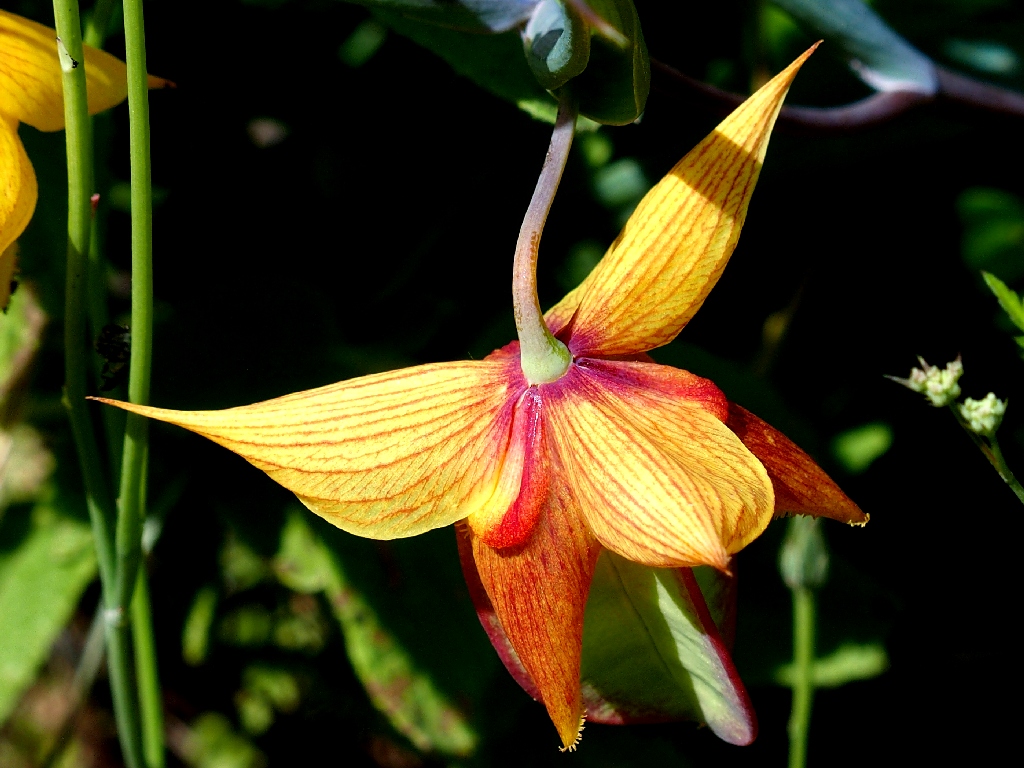
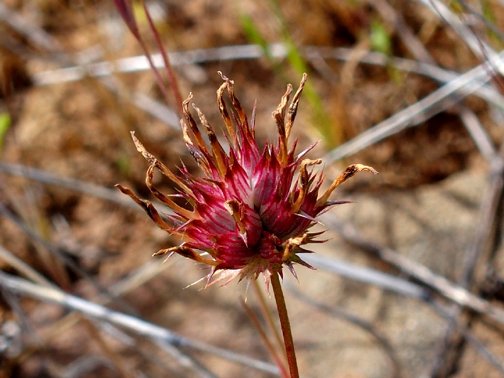
The Golden Globe Lilies turn a beautiful reddish-brown as they age
Others are on the trail below
It is a total of two miles to Annie's Junction, including a lot of steep steps
for a total of about 900 feet. A newer loop route that I never have walked leads
south from here, and I have resolved to knock off a lot of bucket-list items while
I still am able; but today I am just enough off my feed to pass on the rough 3-mile
spur. With a somewhat heavy heart, I turn northward onto the Blue Ridge Trail,
which will be plenty taxing as it is.
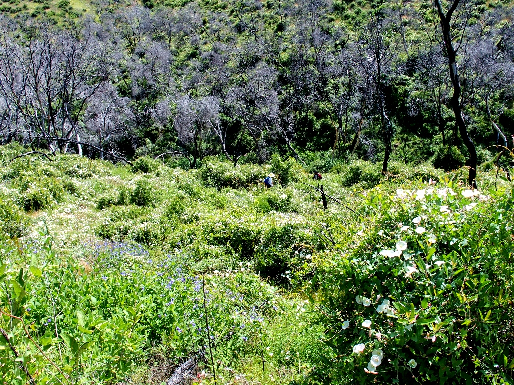
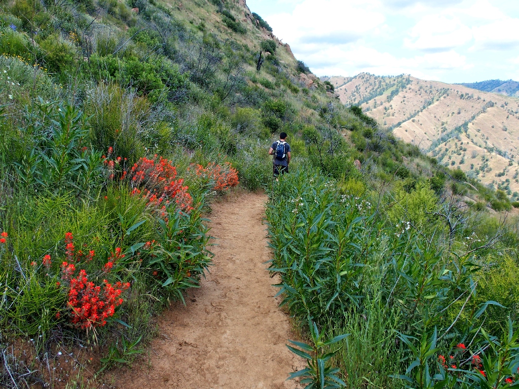
Hikers are coming down the hill ahead of me
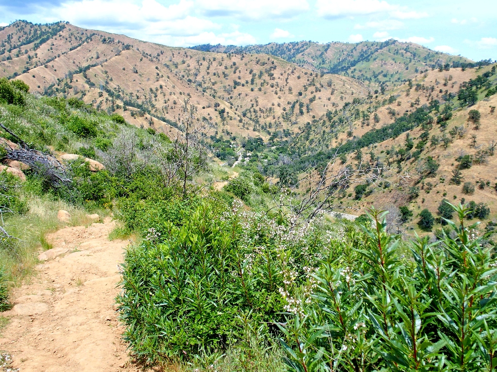
The ridge-top going is every bit as rough as I remember it, and the air temperature is
warming up uncomfortably as well. The trail-planners made no concession to
creature comforts in here. Rather than route the trail around any rock outcroppings,
they decided that we should scramble right over the tops.
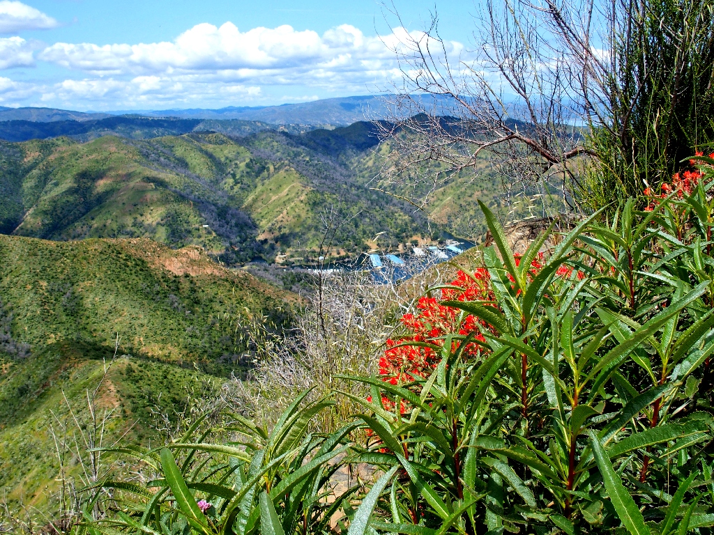
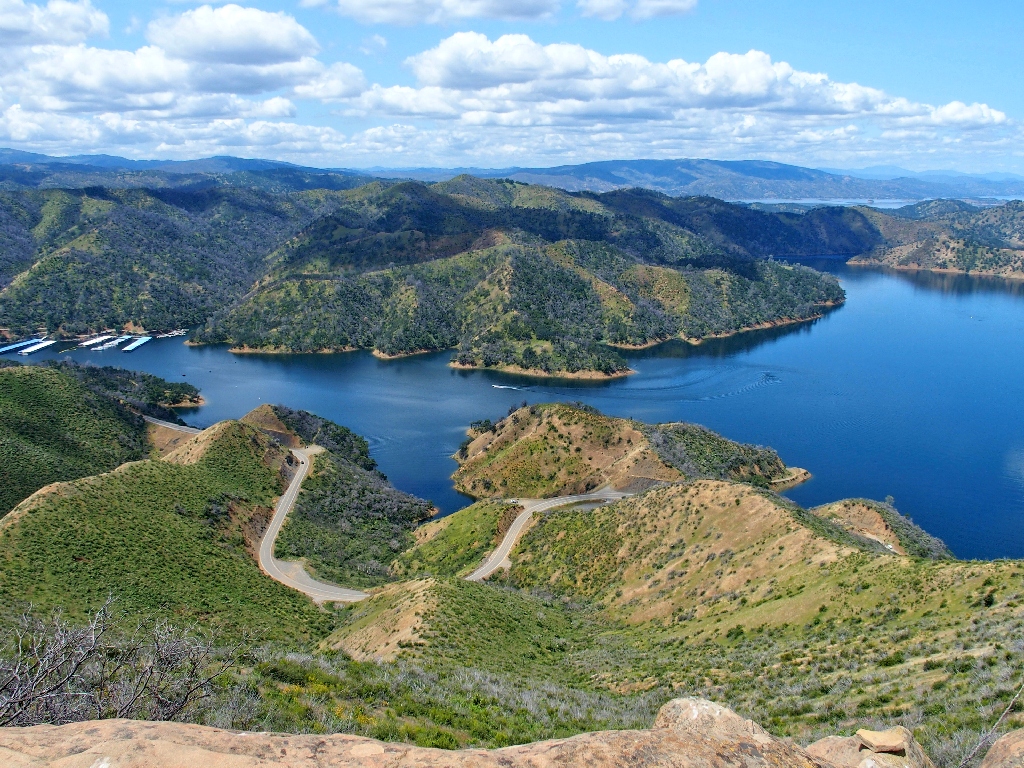
Markley Cove Resort
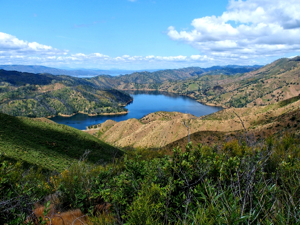
For the next two miles, the redeeming feature of this route is the great views, particularly of Lake Berryessa 1,200 feet below.
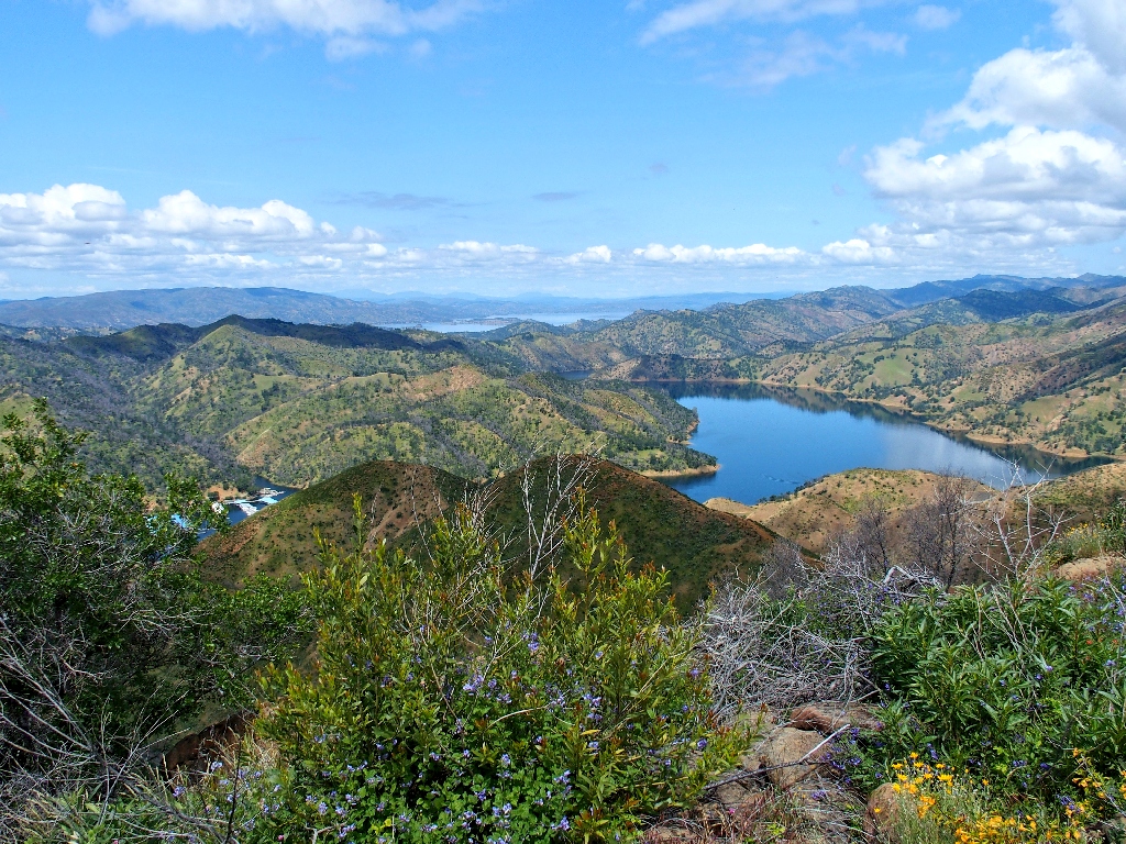
Most of the lake is nearly out of sight in the distance
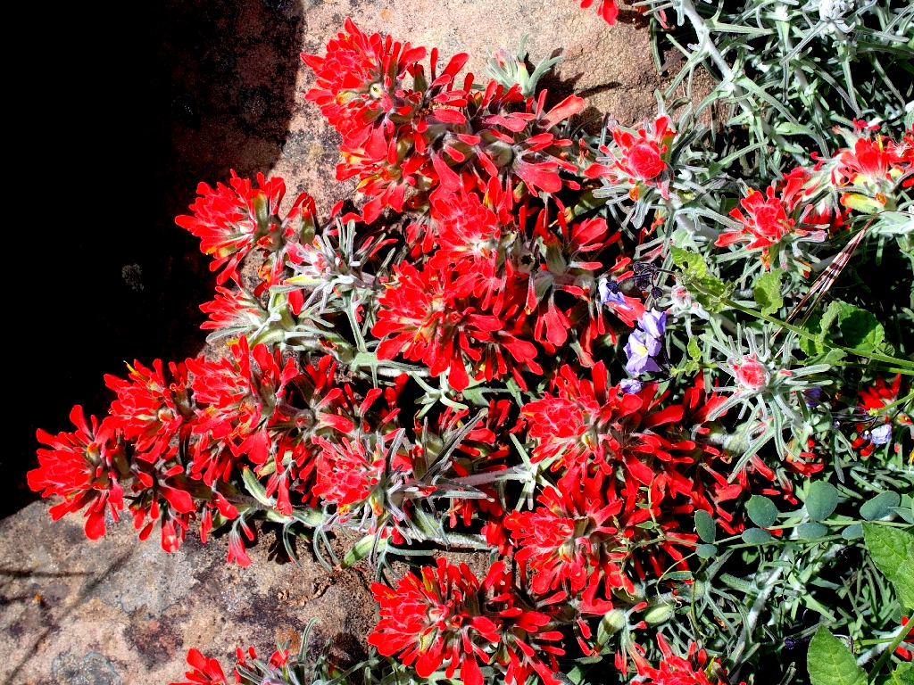
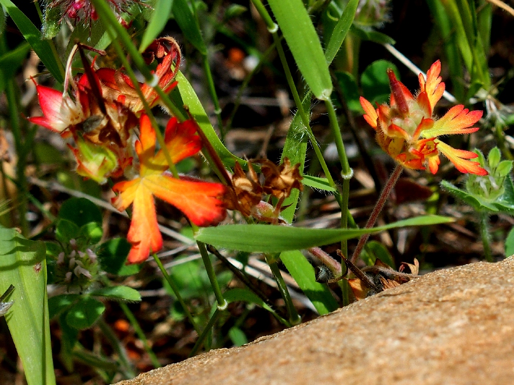
Woolly Indian Paintbrush
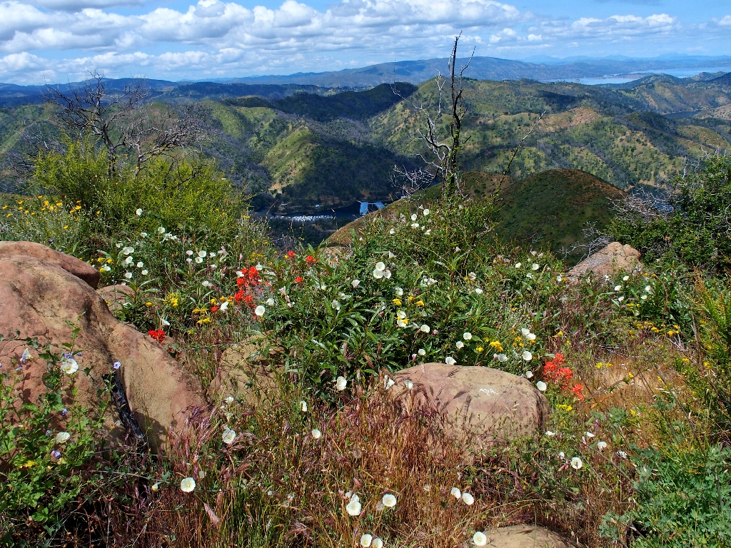
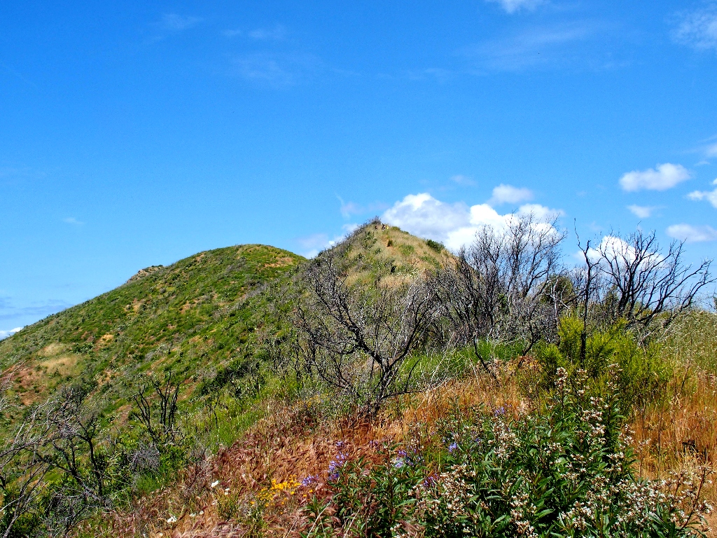
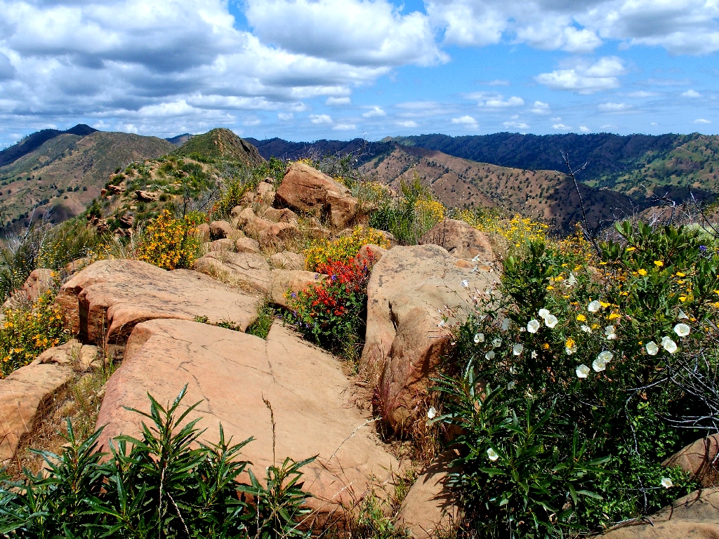
A ridge-top garden

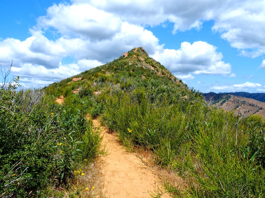
The task ahead is a bit daunting, but there is nothing for it but to press on
It is nearly 80 degrees now, which is just about the limit of reasonably comfortable hiking. On top of that, the fire has left no trees of any kind to provide shade on the route; and I didn't pack any sunscreen, either.
My progress is particularly slow today. Being extra-careful not to stumble
in the rocks seems everincreasingly appropriate as I approach my
81st birthday.
Another rock pile
Approaching the final obstacle
Once atop that prominence, it is time for a snack break; but of course, there is no way to hide from the sun. Finally, I do find a taller bush to hunker down behind as I munch my standard trail fare of nuts, seeds, and a clementine.
Highway-128 has reopened after a lengthy closure due to a rain-caused rockfall
Down below, a boat is behaving strangely, sporadically turning in a complete circle for reasons unclear.
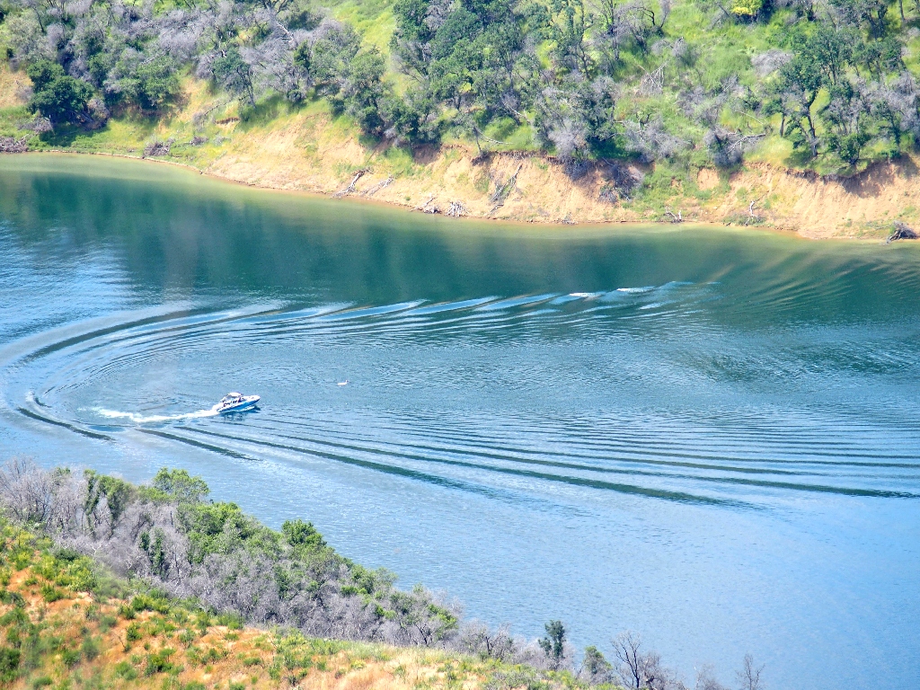
It seems to be some sort of game involving that white object in front of the boat
Just after finishing lunch, I discover a 'new' memorial bench overlooking the lake; I could have used it! Sitting down, I actually doze off for a few minutes.

A fine message
Jake Schneider and a friend were walking with a dog beside the Dixon Canal. When their dog jumped from a footbridge into the water, the boys jumped in to rescue it. Then they grabbed the metal bridge, which was electrified, killing them both. There was no warning sign on the bridge, and officials said that it wasn't supposed to be 'hot'. The two families settled for $14 million, much of which has been used to set up a student scholarship fund.
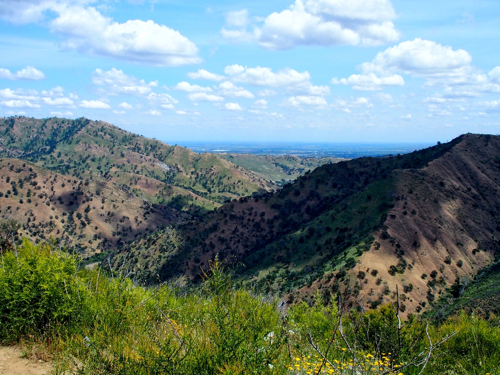
Sacramento Valley to the east
From here is it is non-stop downhill, and my knees do not like that.
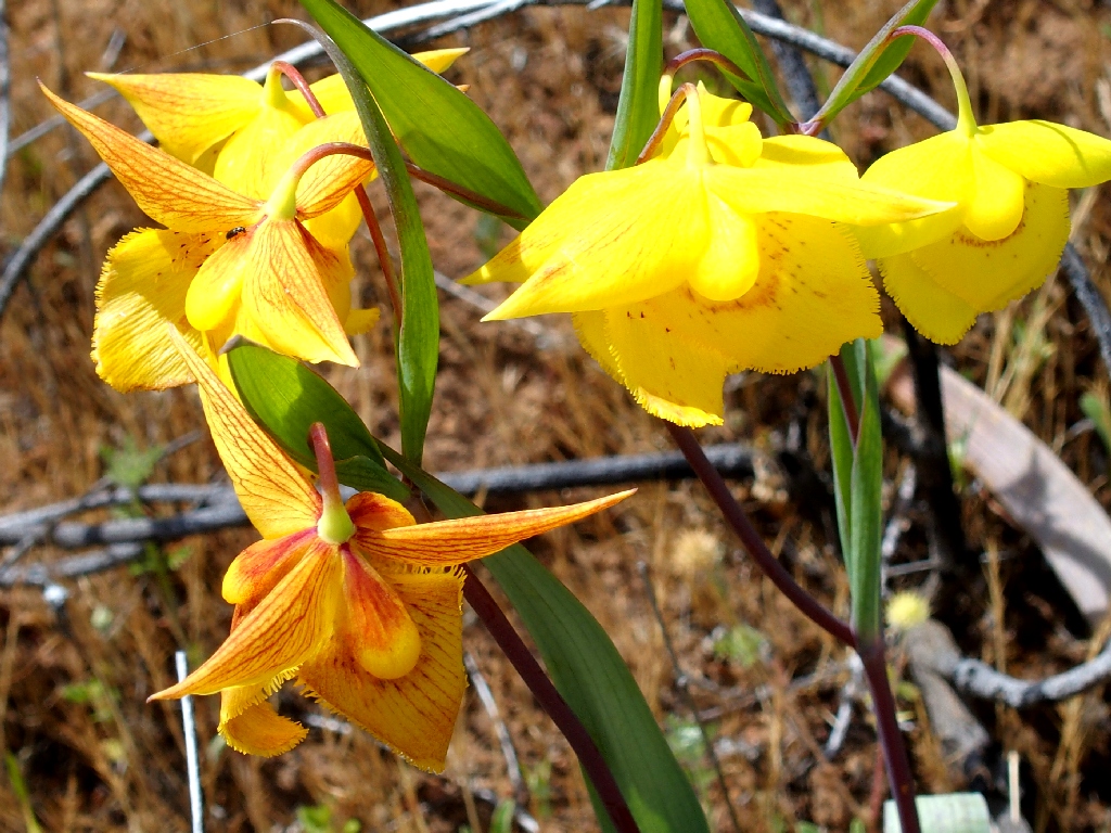
Reprise of the marvelous Globe Lilies (aka Fairy Lanterns)
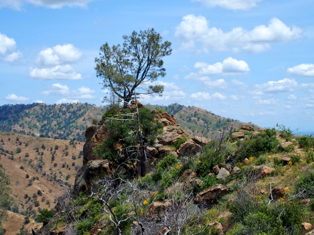
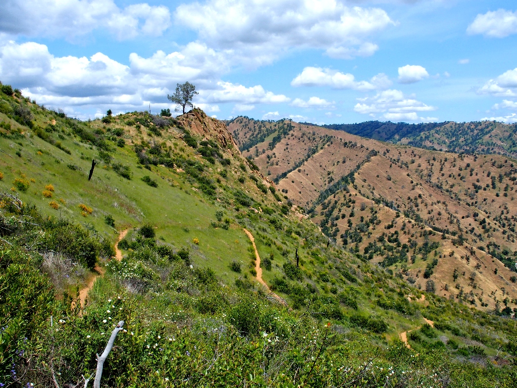
That tree survived the fire
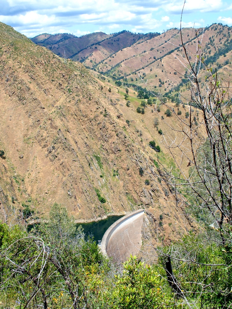
Monticello Dam on Lake Berryessa
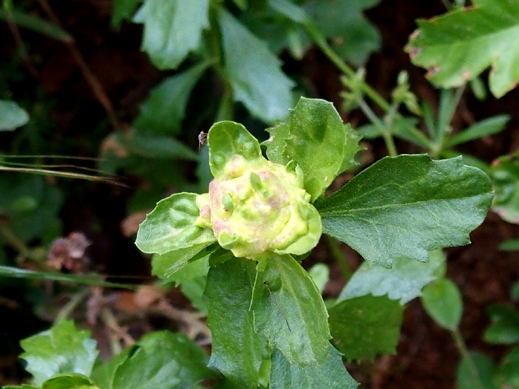
One advantage of a leisurely pace is that I can take the time to seek out some of less obvious flower varieties. Hiding behind a bunch of other plants is one that I have not seen previously:
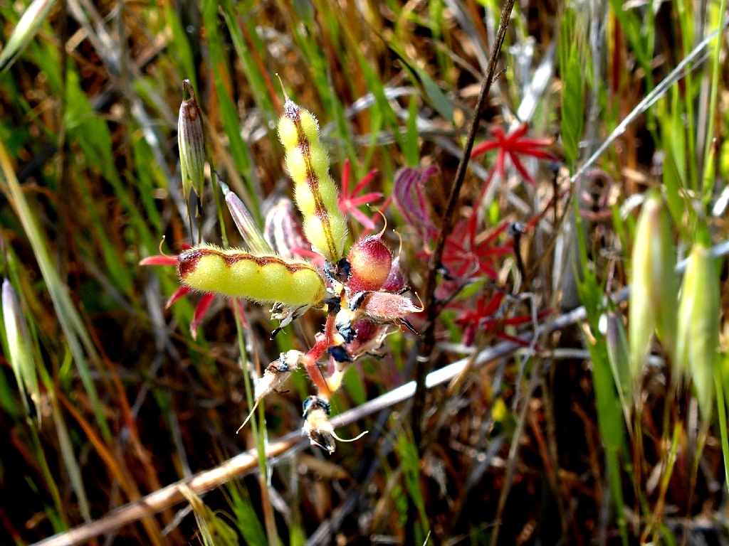
Basada Lupine
Wow! I never would have guessed that to be a lupine, and having seven petals is unusual as well.
Alsike Clover
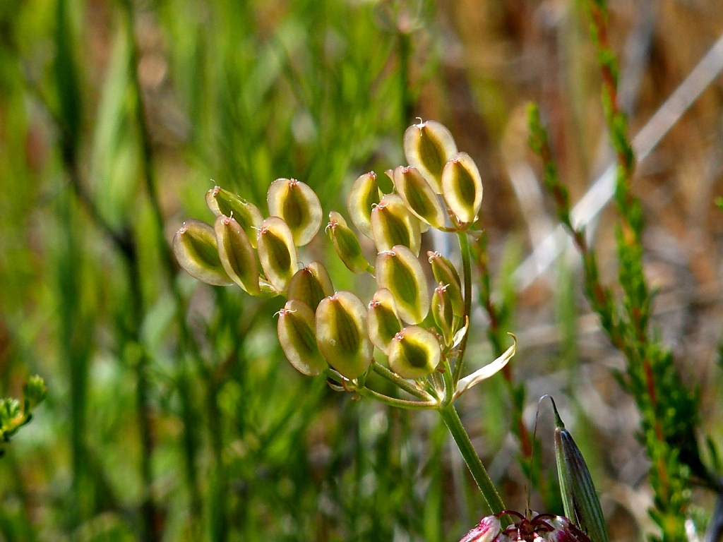
Lomatium
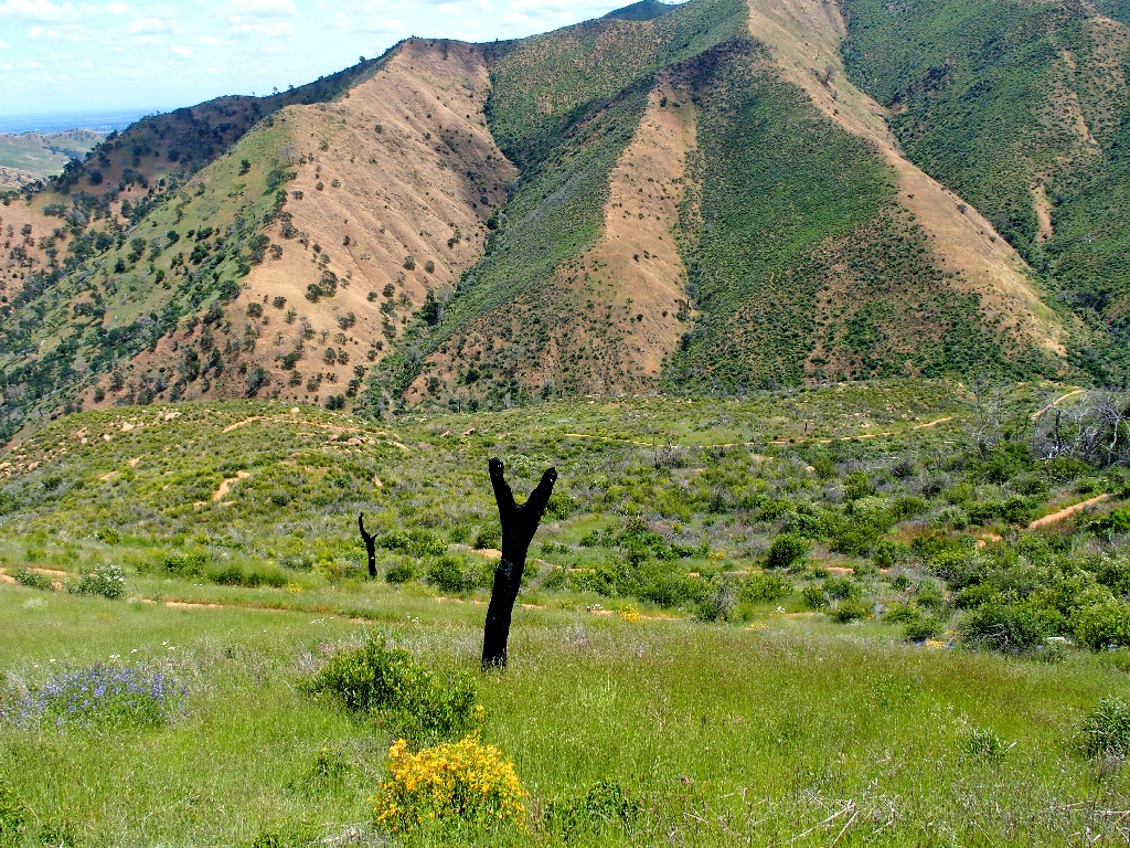
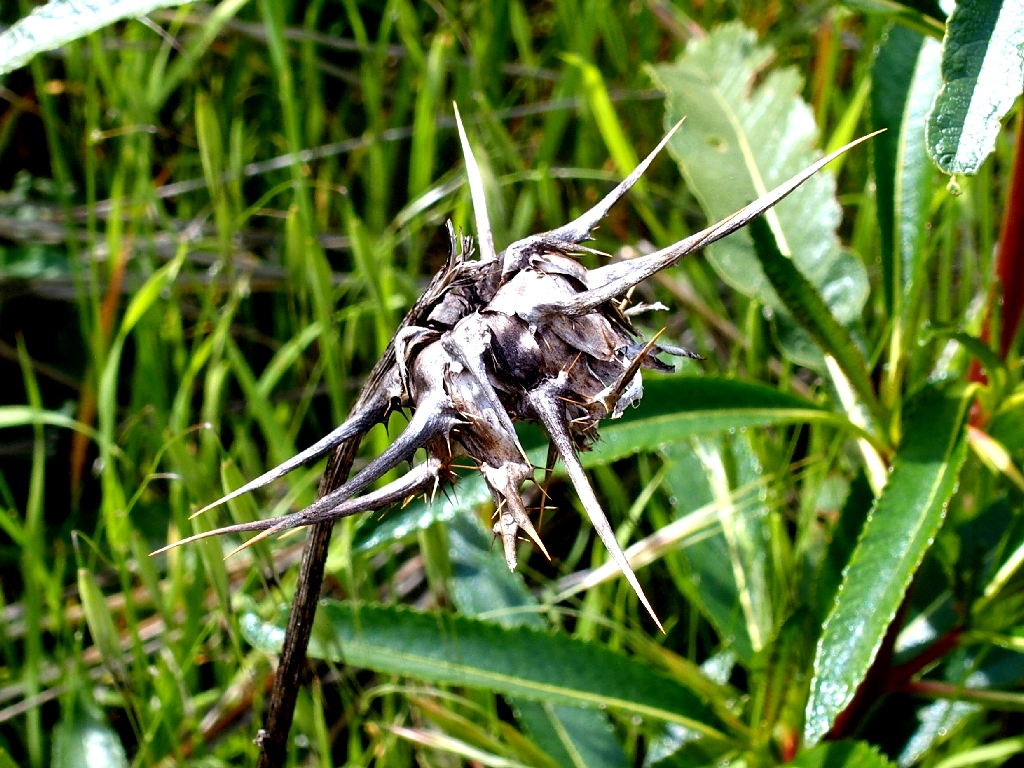
Testament to the 2015 fire
Switchbacks galore
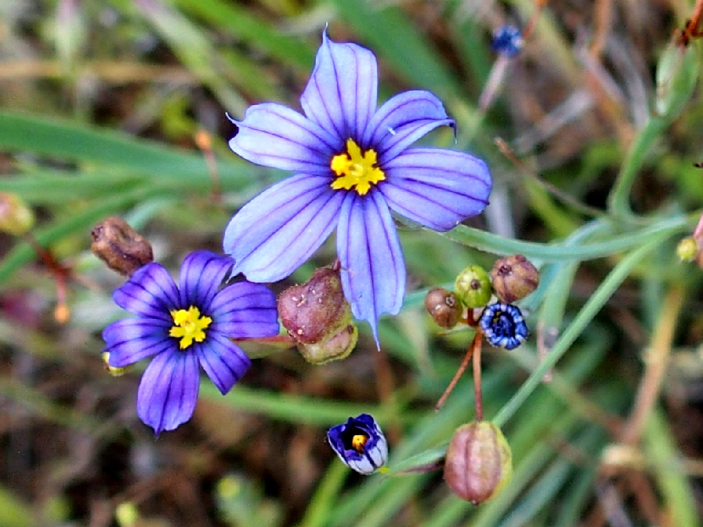
Blue-eyed Grass
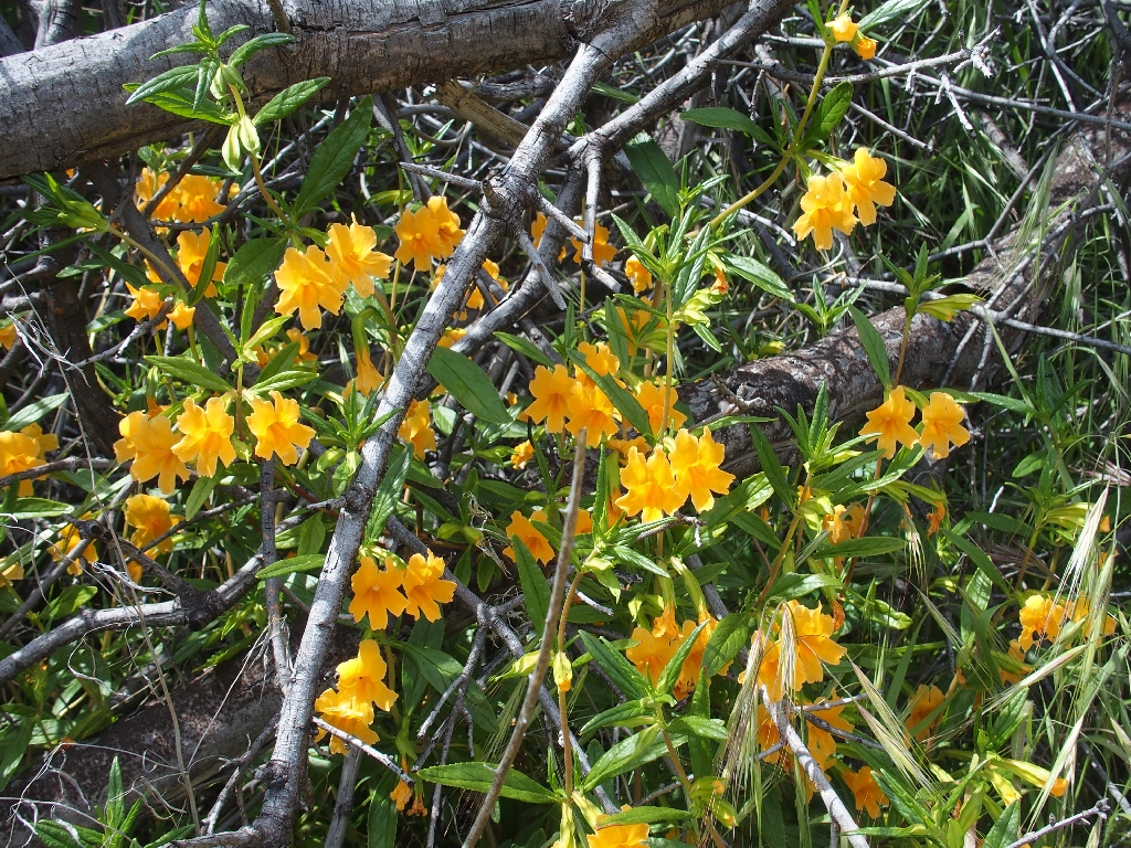
Orange Bush Monkeyflower
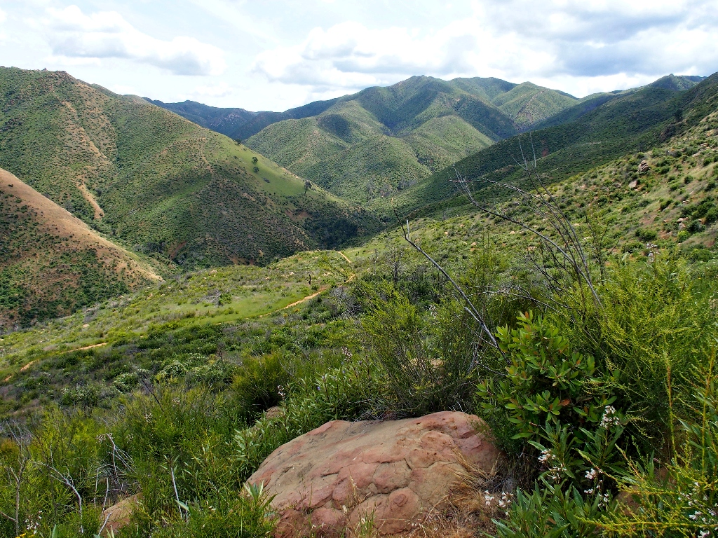
Looking southward up the canyon
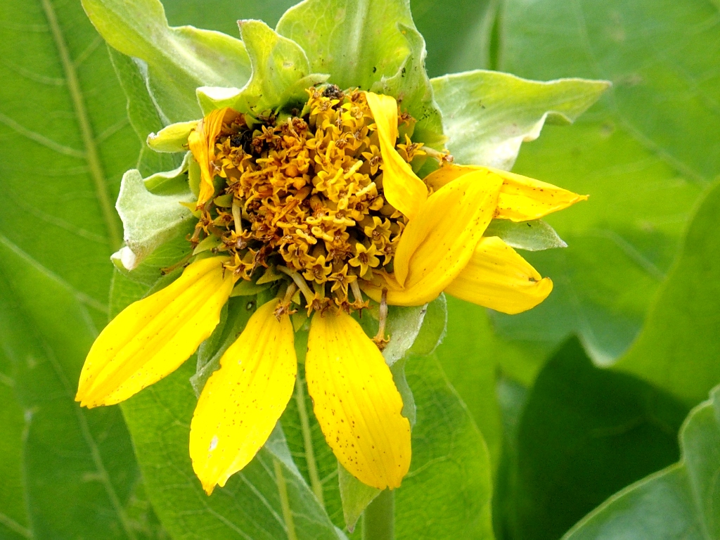
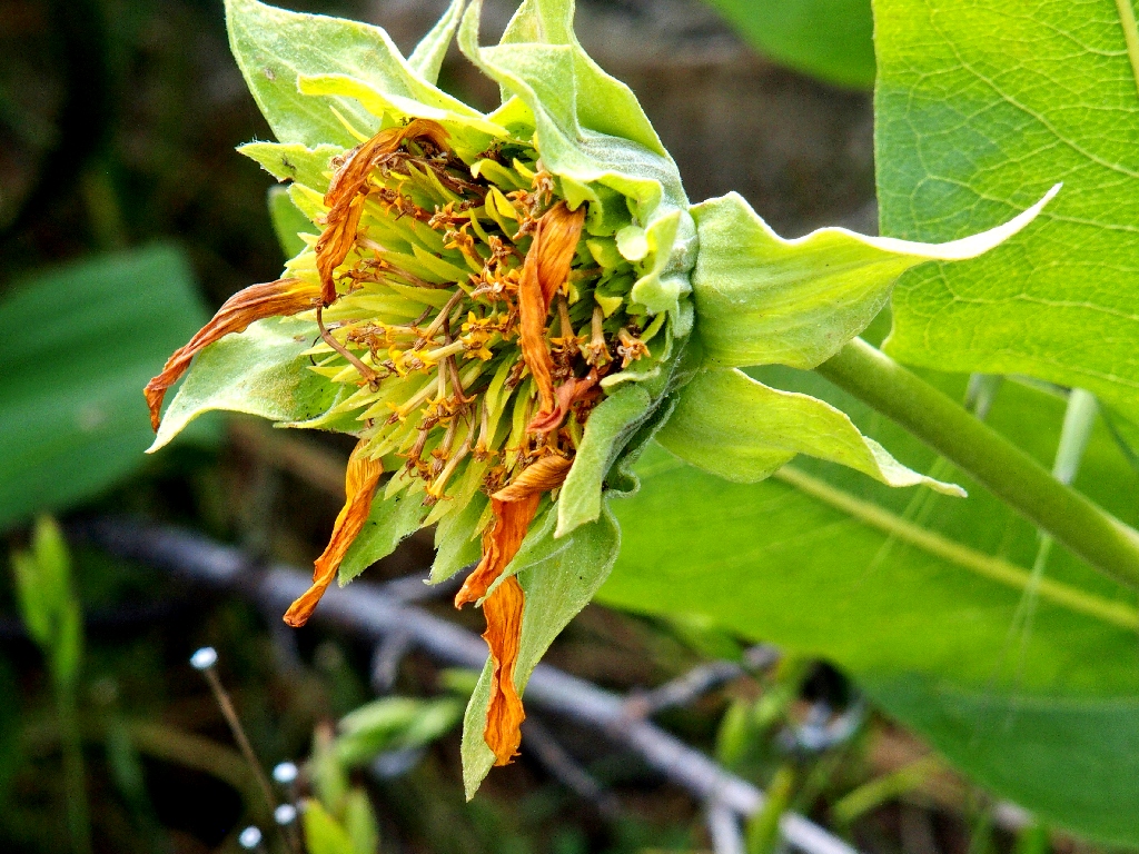
Narrowleaf Mule Ears
Carolina Geranium
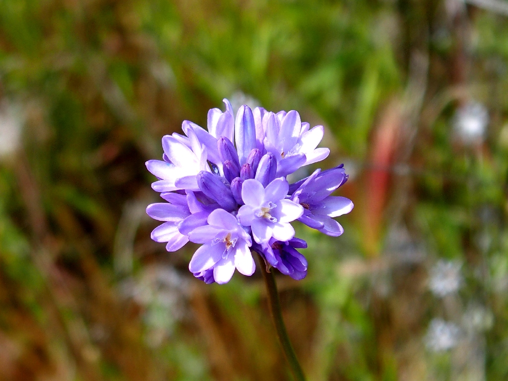
Blue Dicks
With the finish-line in sight, I might as well grab photos of as many different floral friends as I can spot.
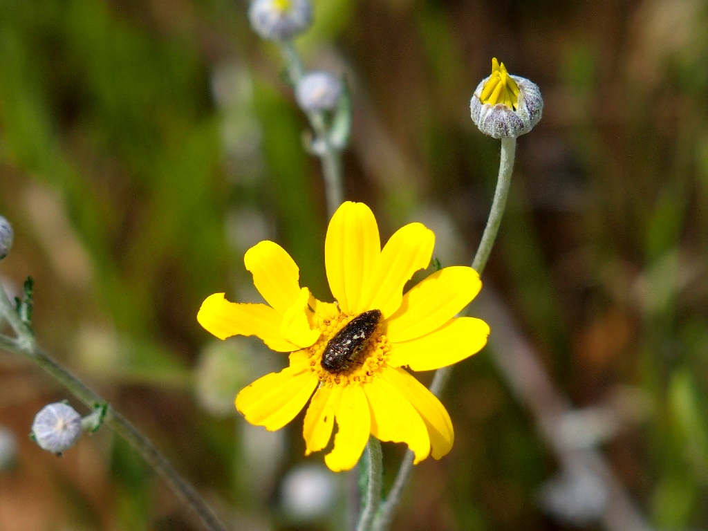
Woolly Sunflower
Maltese Star-Thistle
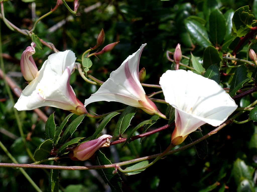
The Coastal Bluff Morning Glories are out in the thousands
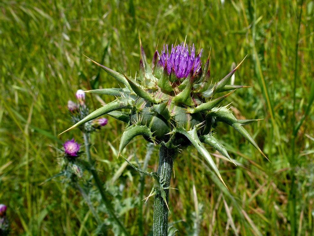
Blessed Milk Thistle
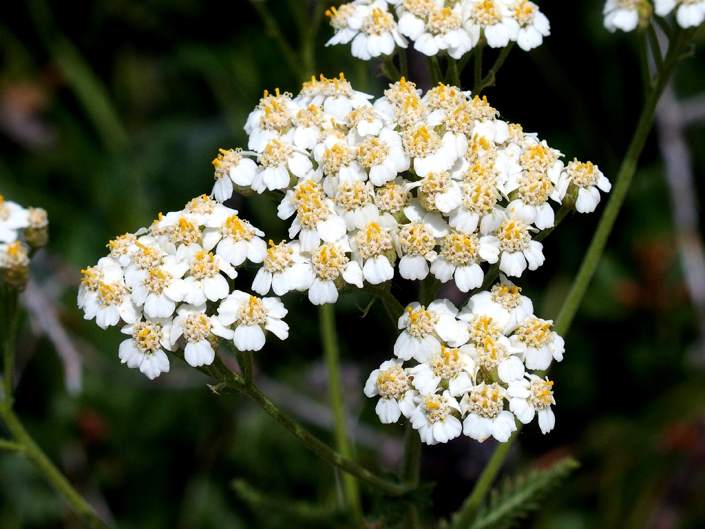
Yarrow
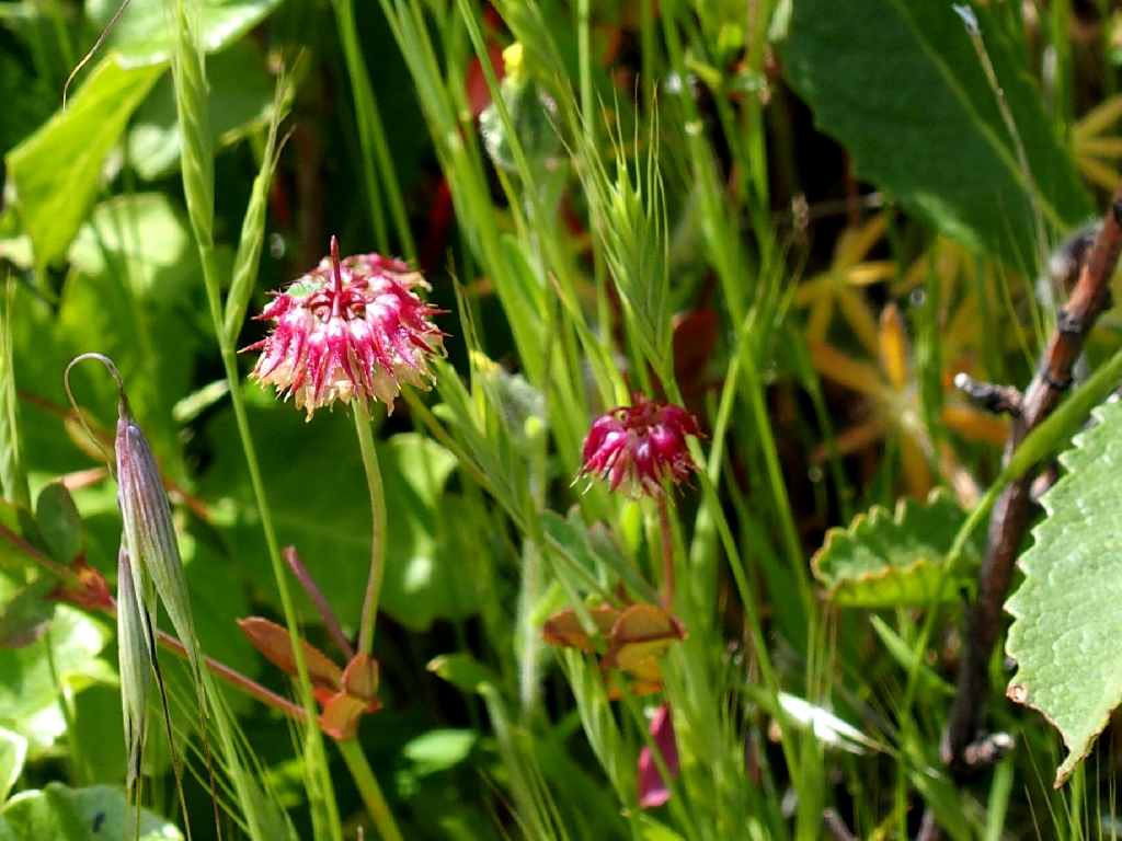
Tomcat Clover
The highway reappears
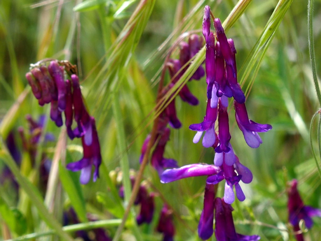
Hairy Vetch
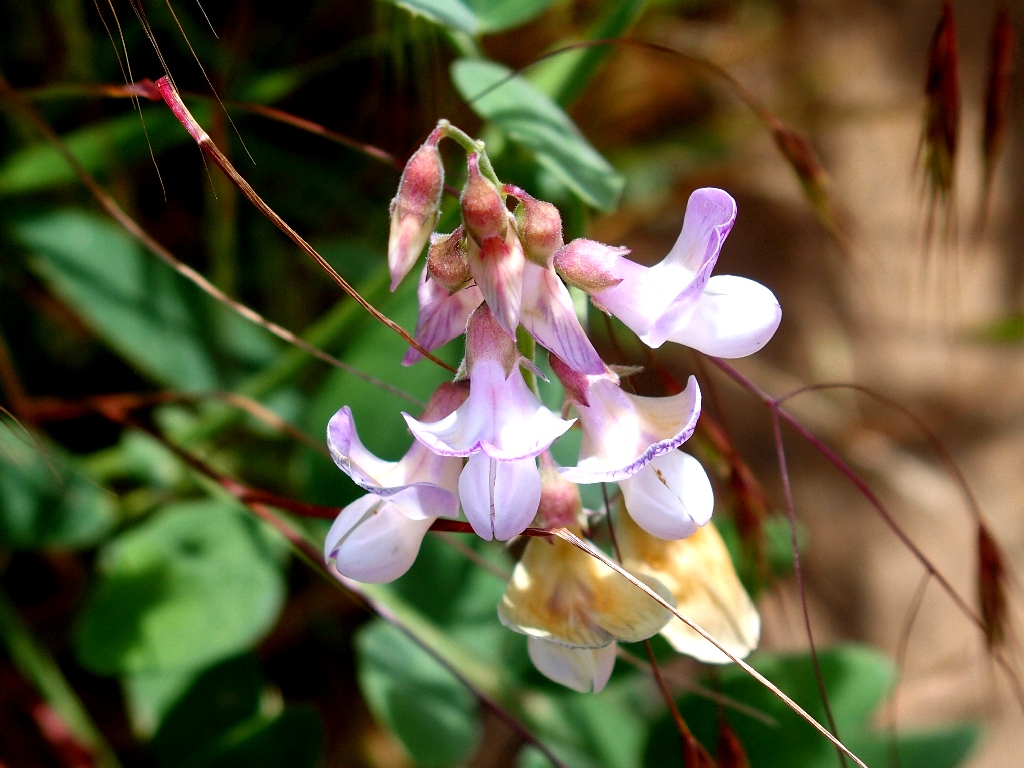
Pacific Pea
Some are ignoring the new signpost's mandate of "No Dogs"
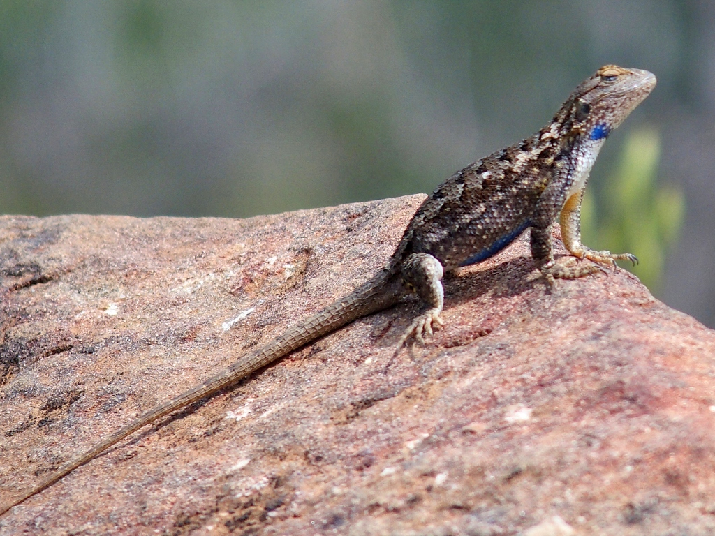
Western Fence Lizard
Coyote Brush
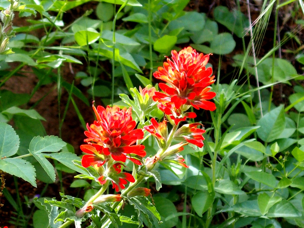
Coast Indian Paintbrush
At the end, I once again ignore the trail signage which wants me to tread water in the culvert, preferring the 'old' route directly down to the highway.
Poison Oak
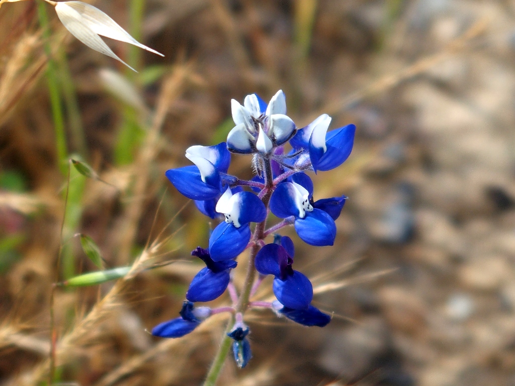
Miniature Lupine
§: Well, as anticipated, this was a fine day for flower photography, and
most of my efforts were in fine focus today. This also was a good reminder of
my mortality. I doubtless will return, but with the knowledge that the Blue Ridge
Trail is quite rough as maintained routes go.
| Scenery |  |
| Difficulty |  |
| Personality |  |
| Flowers |  |
(clockwise route)
