Mount Diablo State Park
|
Diablo Waterfalls View Mount Diablo State Park |
January 29, 2023
Last summer I took three brand-new friends to Desolation Valley. Now, my
'Palo Alto Connection' has scheduled a walk in this park, which is about a 90-minute
drive for us all. Unfortunately, coordinating a workable date proved a bit
problematical; so here we are on the coldest day of the current cycle, and a bit of
rain is in the forecast as well.
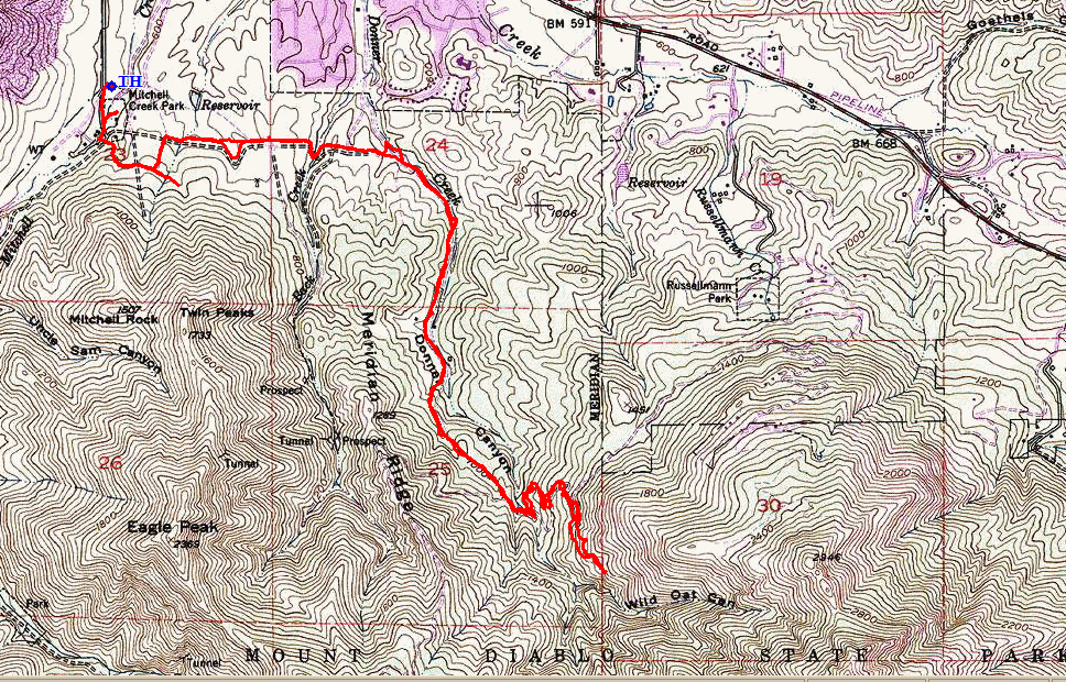
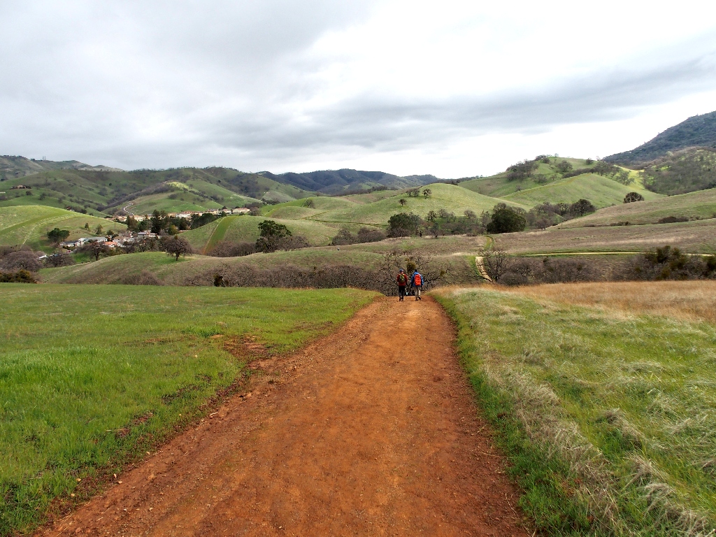
The parking lot at Trailhead Option #1, being part of a residential street, was predictably filled, so we get started instead at the overflow lot of a nearby park visitor center. This will necessitate about two extra miles of walking.
At the trailhead
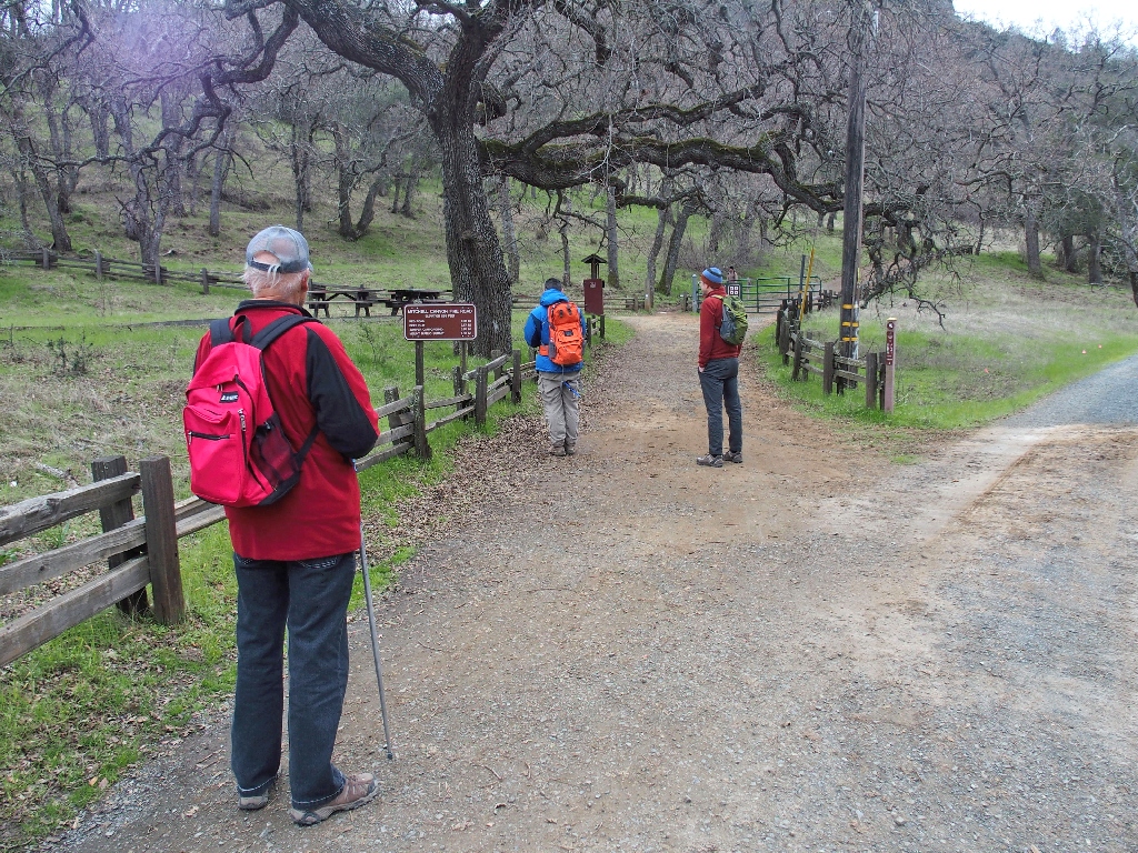
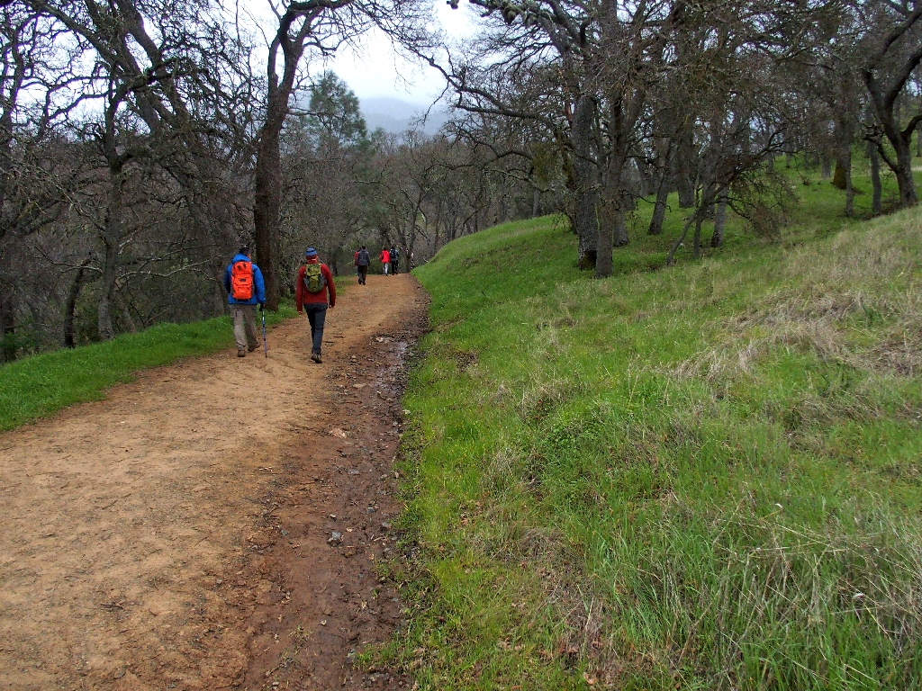
On our way
Allen had warned me about the mud; but there has been little to no rain for a week now, so maybe the going won't be too sloppy.
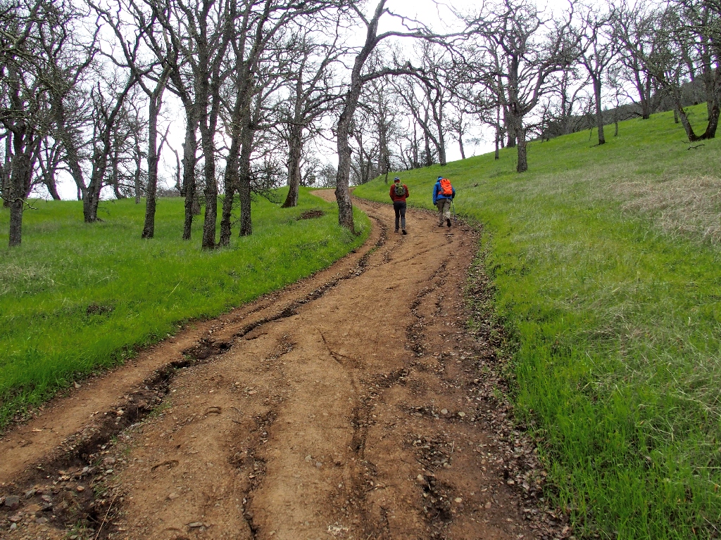
Fintan heads toward the Mount Zion quarry
That mine has been producing crushed rock for various county projects since 1947. Oddly enough, it now is owned by a corporation headquartered in England.
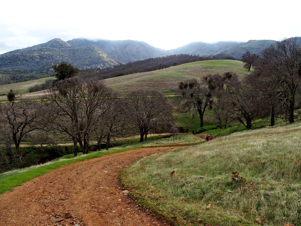
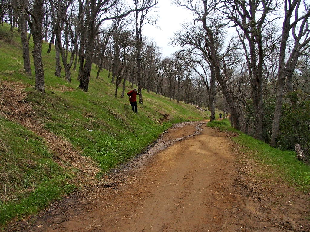
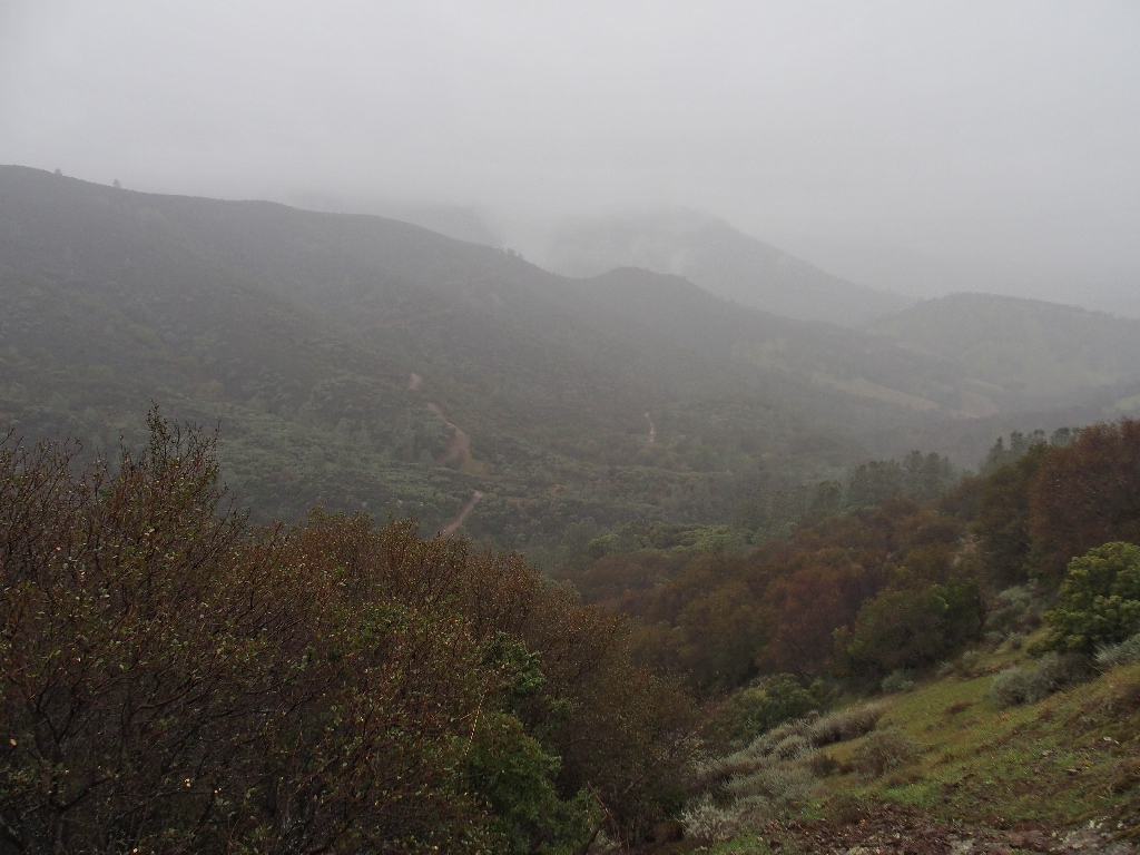
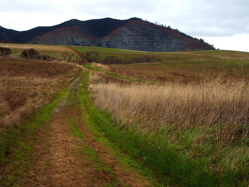
Circling the north side of the mountain
That distant neighborhood was our hoped-for starting point.
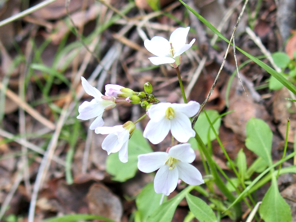
Milkmaids
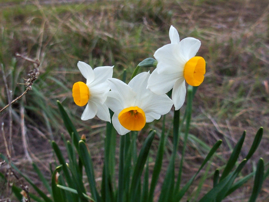
Bunchflower Daffodil
I had not expected necessarily to see any flowers today, but there are just a few.
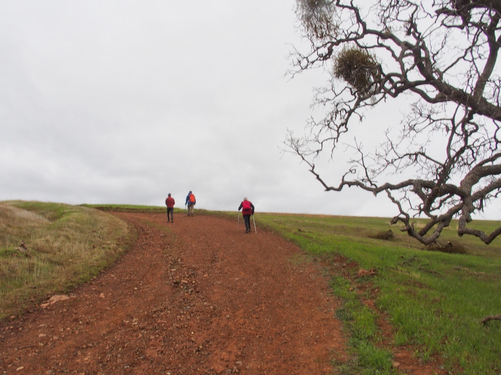
Lots of walkers are out despite the poor weather
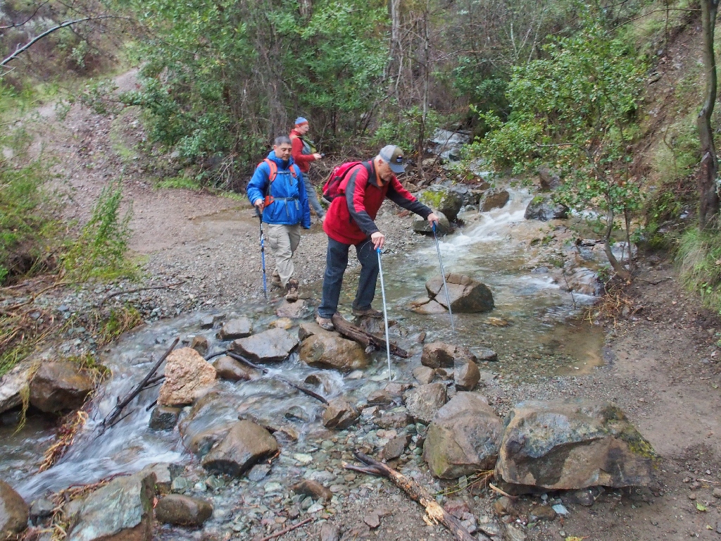
 Walter negotiates a sloppy section
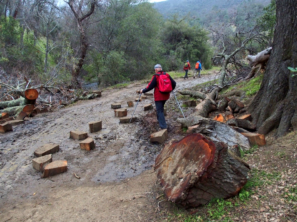
Placed there for mud-hopping
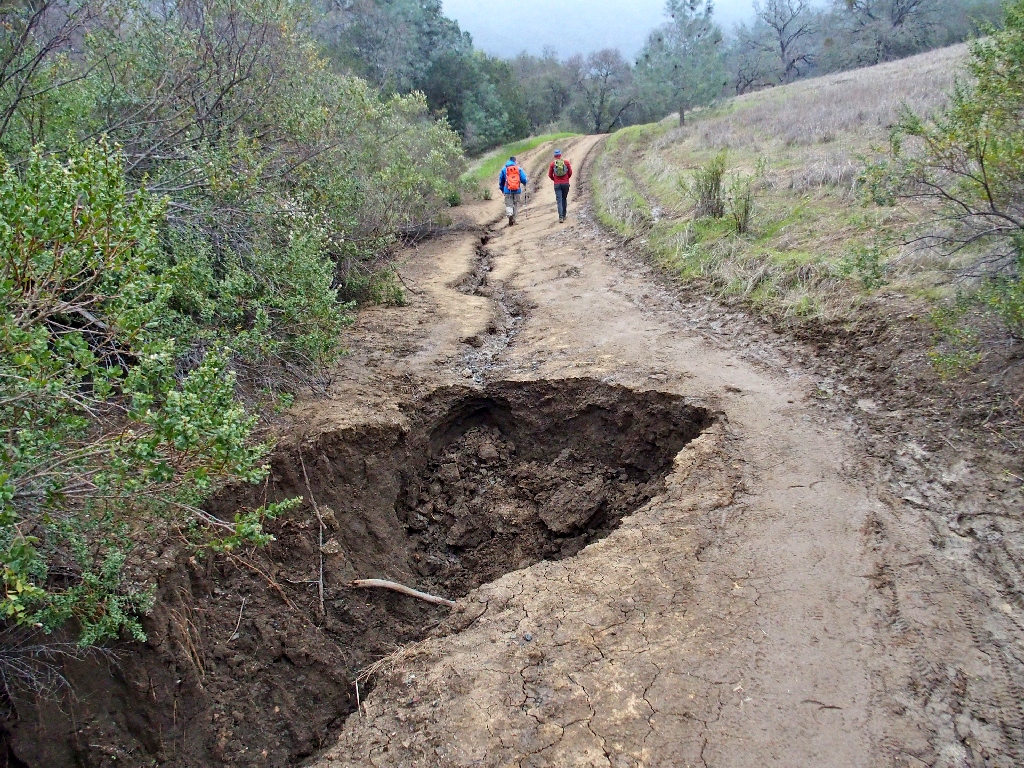
The heavy rains have left their mark
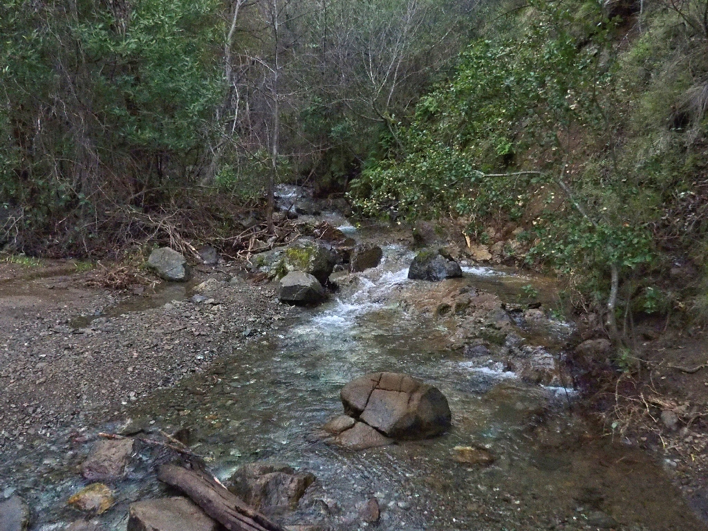
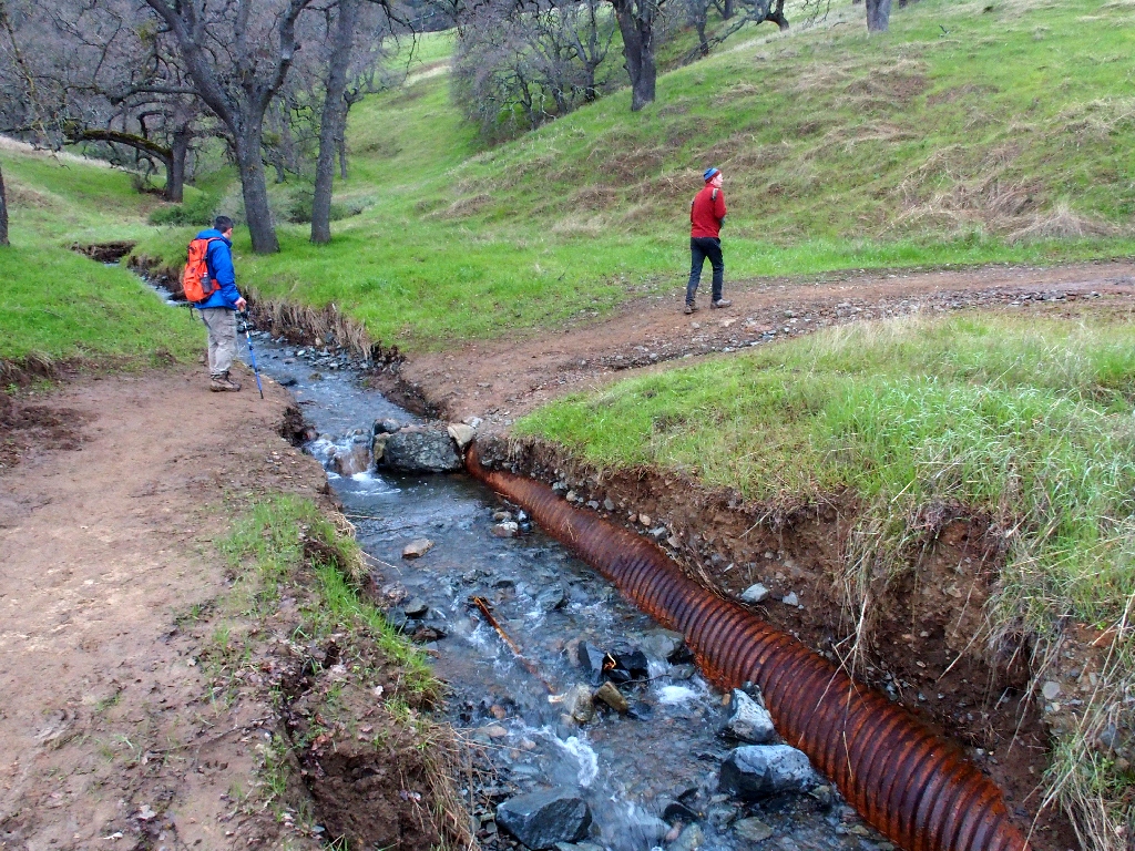
Another creek crossing
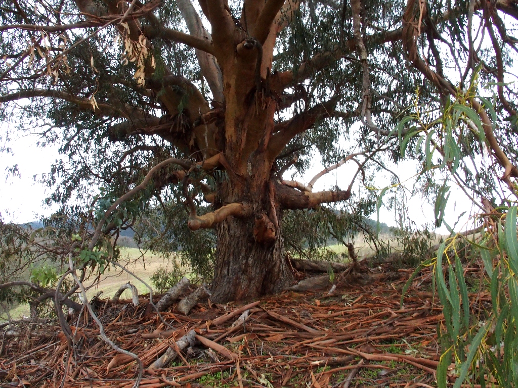
Hidden among the bushes
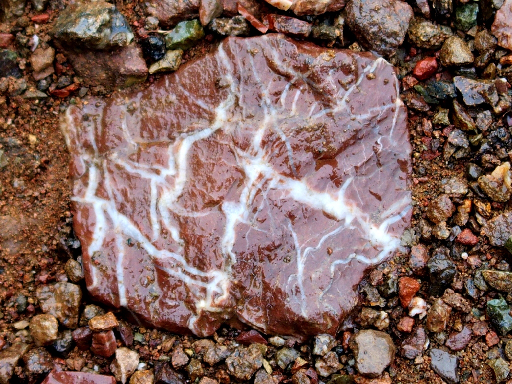
This gem is in the middle of the trail
I would take that one home to my sweetie, but it is part of a much bigger rock.
Where we have been
It has not rained on us at all, but we are essentially in the cloud overhanging the entirety of the park.
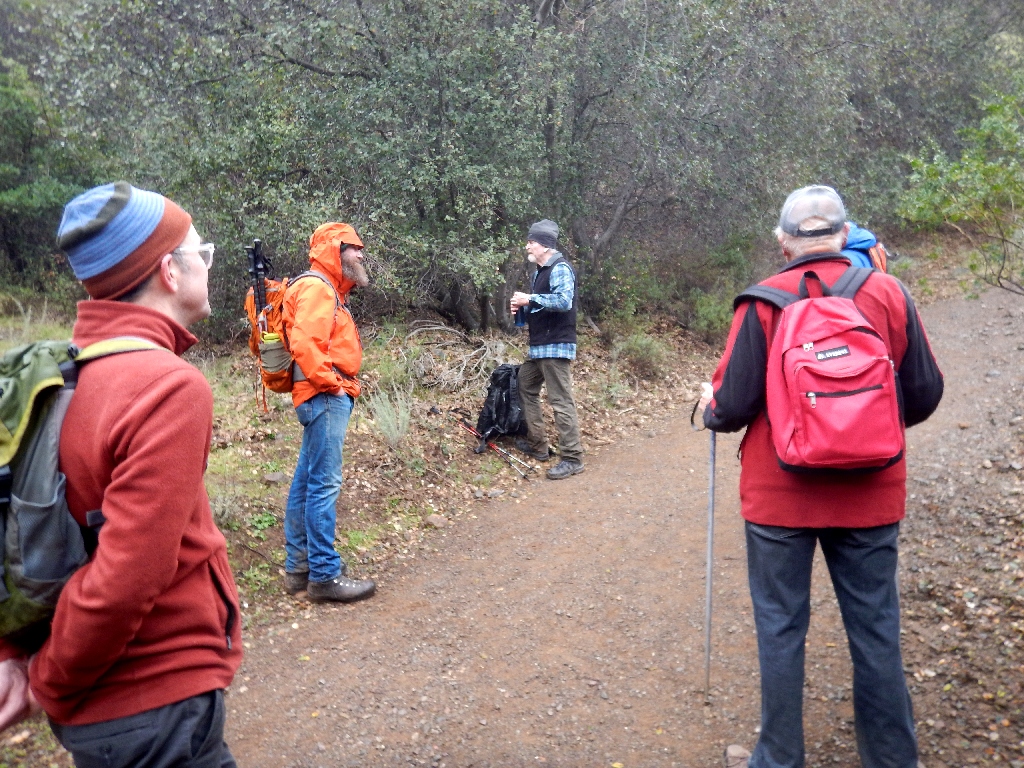
That orange guy has the strangest laugh
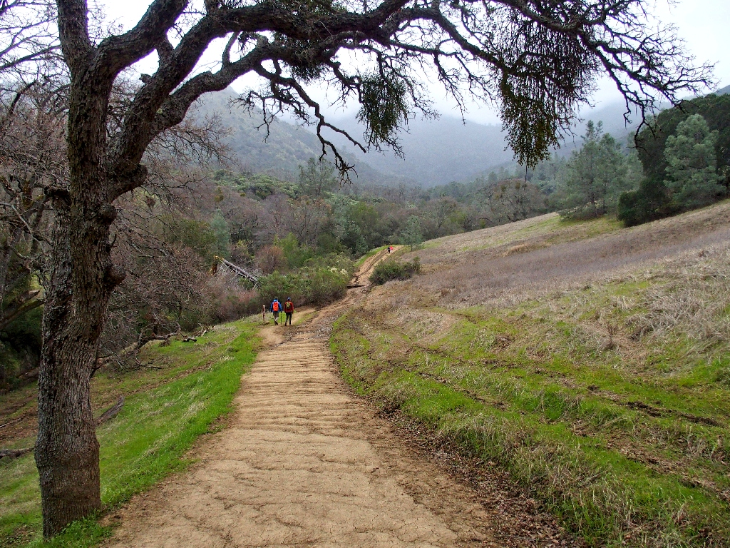
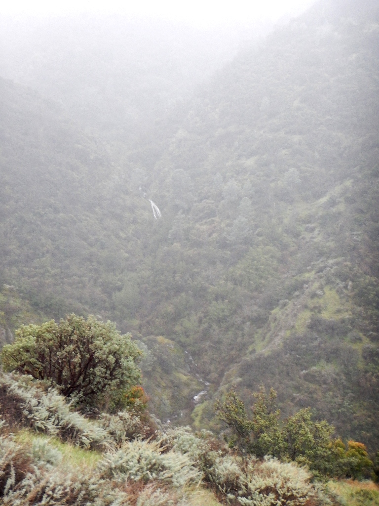
Leaving the road, we traverse gently up the Falls Trail, on Allen's promise of imminent visual rewards. Ten minutes later, we get some.

Overlooking Wild Oat Canyon
The moisture in the air is bothersome enough that I must stash my Olympus camera temporarily in favor of a waterproof model. No one is suggesting a snack break at this time, either.
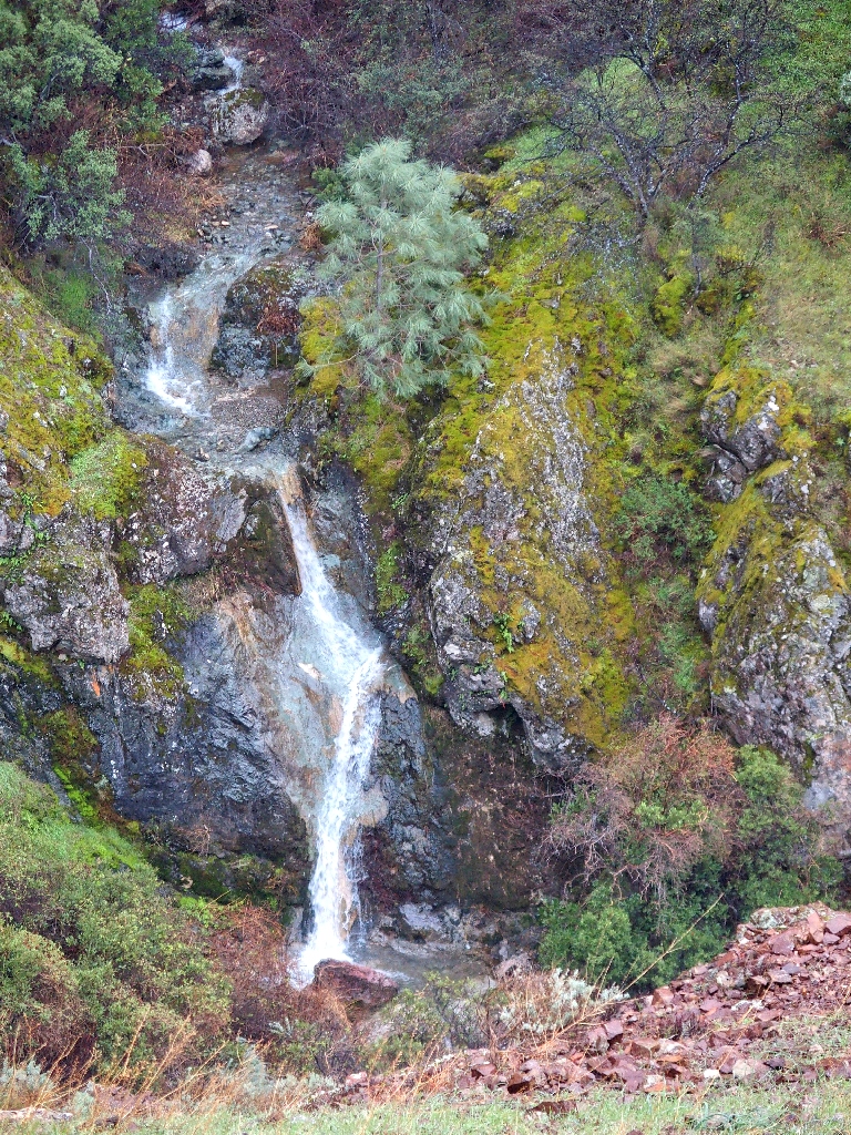
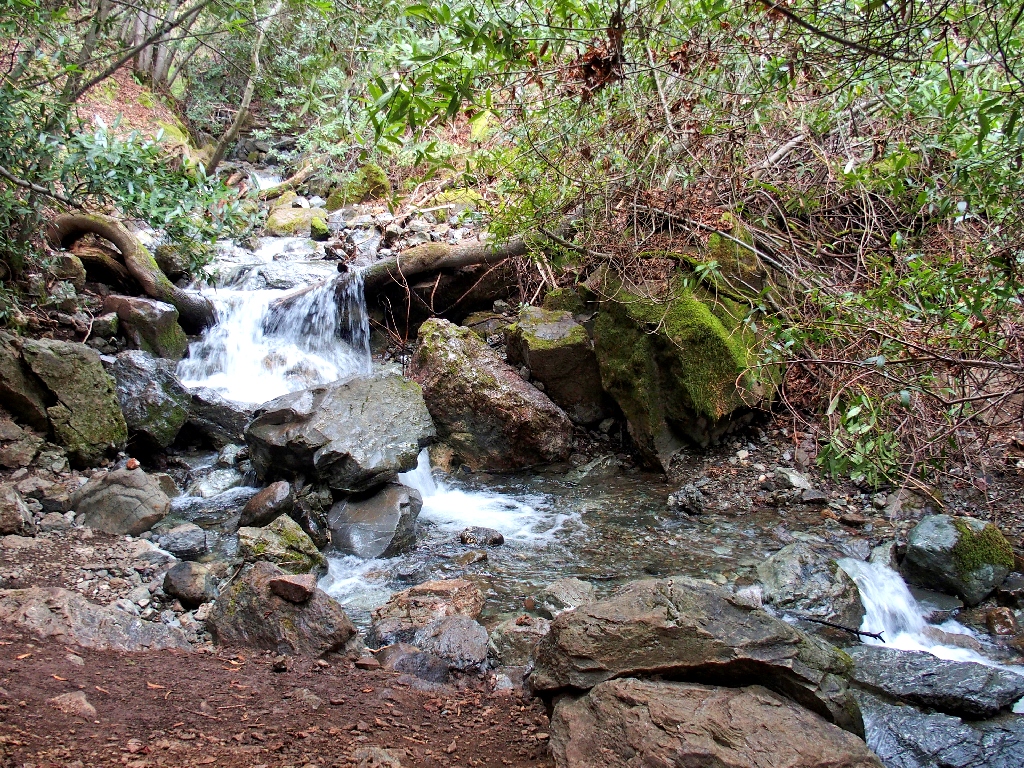
This one is the most photogenic
This one is nearly obscured by the mist
The trail does loop over by the falls and back down. However, because visibility is decreasing by the minute and because extra mileage would be involved, we opt to turn back here. Also, an approaching hiker says that one never gets particularly good views of the falls over there anyway.
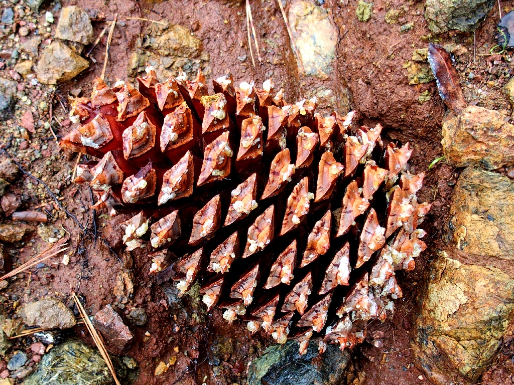
From a Towani Pine
Perhaps that was the parent
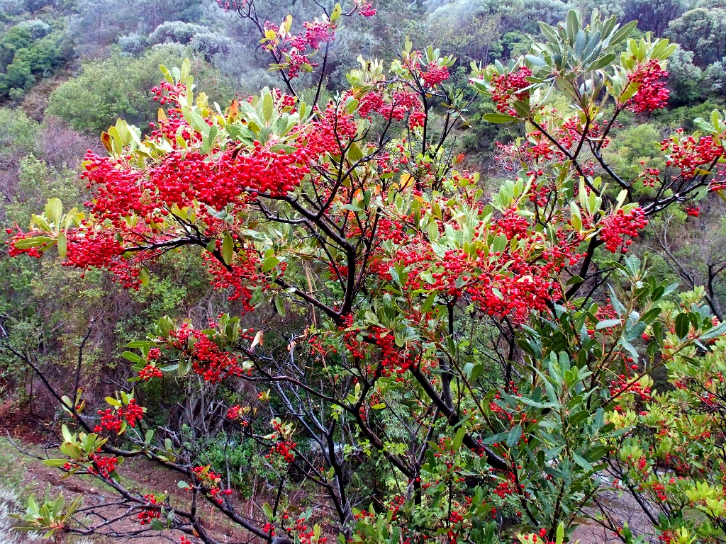
Toyon
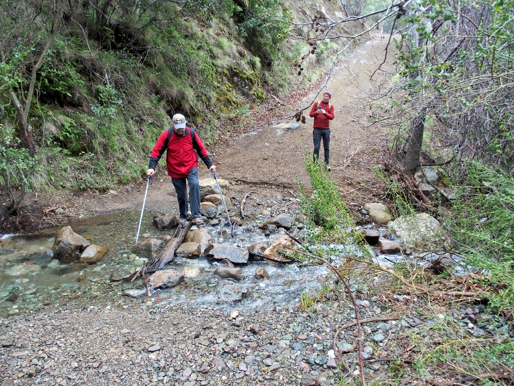
Back at the creek crossing

Back at the mud crossing
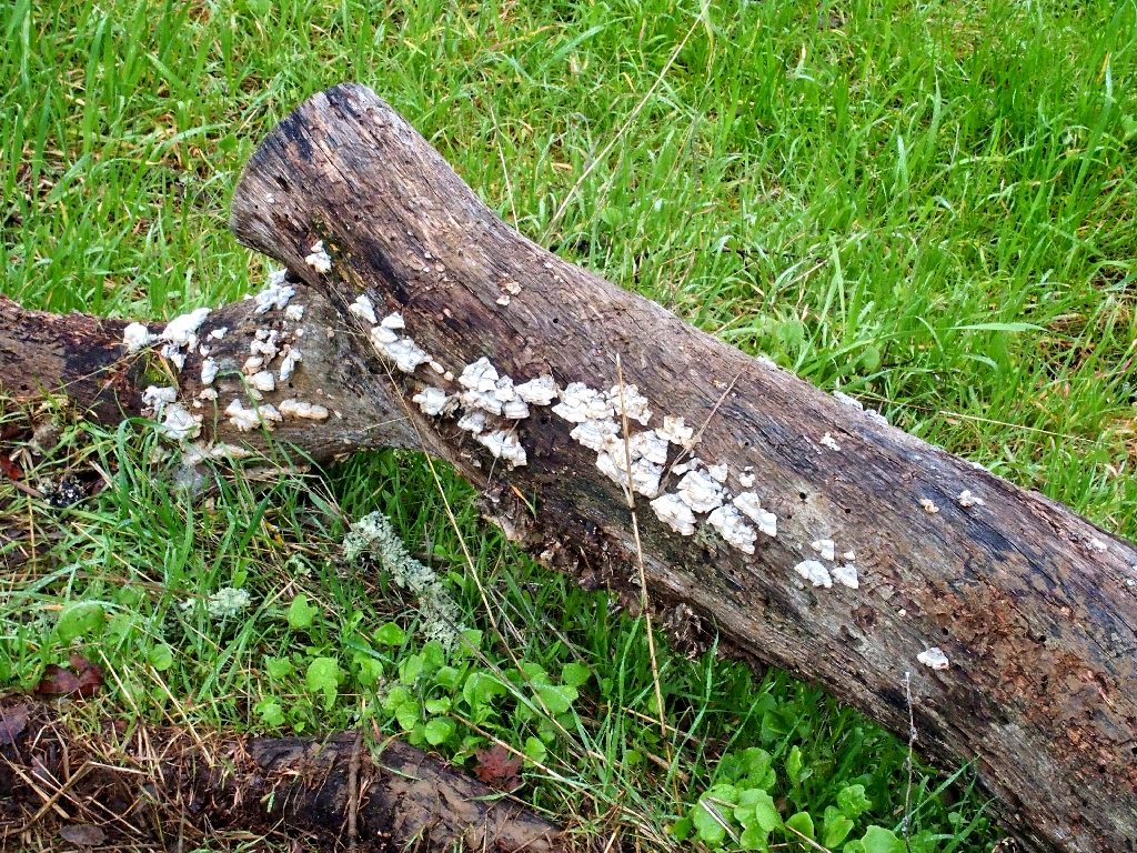
Schizophrenia Fungus
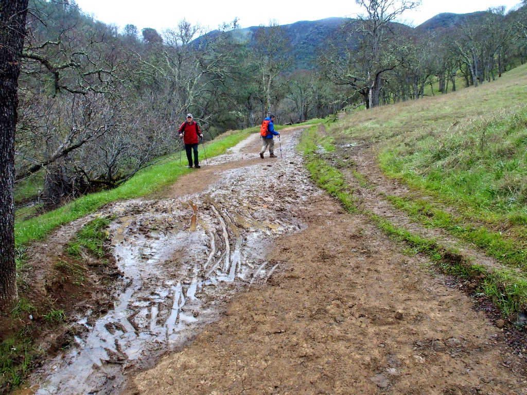
The last of the big puddles
Pacific Madrone
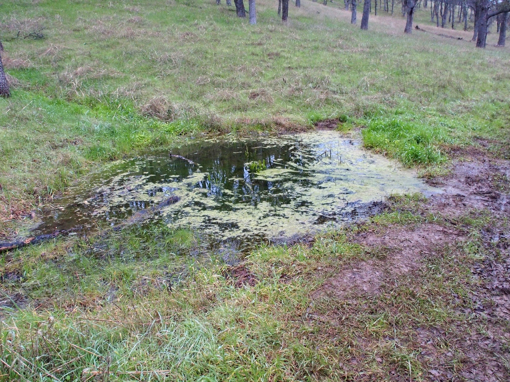
There are hidden tailings ponds at both the top and bottom of the mountain
At a four-way trail junction it feels right to me to keep going straight toward a water tower; but Allen's phone map says otherwise, so we veer left and back the way we came.
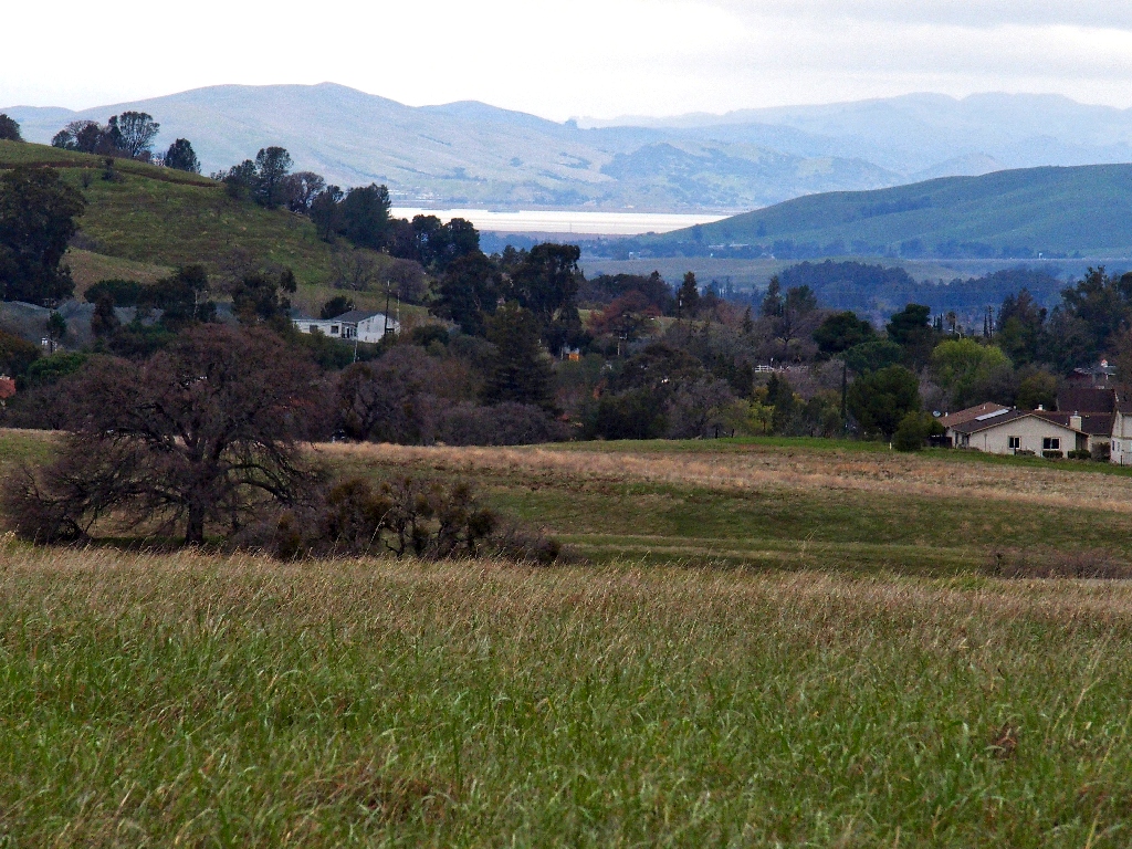
A glimpse of Suisun Bay to the north
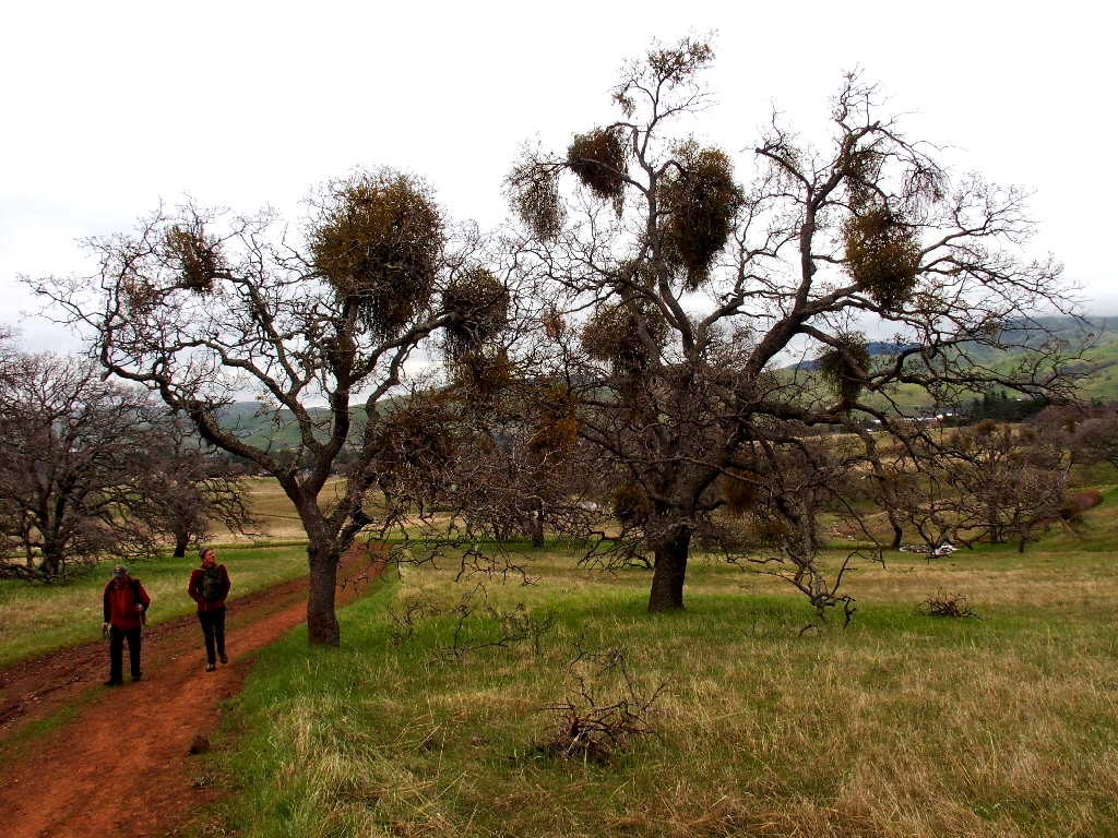
Mistletoe likes oak trees
§: Well, that was different. I had been most anxious to get in a longer
walk for the first time in many months, preferably on a new trail. Luckily for us,
it didn't actually begin to rain until we returned to the parking lot; in fact, the wettest
I got all day long was when I was removing my boots at the car. And it so happens
that my 'water tower route' actually would have provided a slightly shorter access to our
vehicles.
I must return when the weather is better, and complete the loop; any chance to view a nice waterfall or two is worth the effort. It will be an interesting challenge to combine some flower activity with some water flow, for in these times of drought there is no guarantee of that.
| Scenery |  |
| Difficulty |  |
| Personality |  |
| Flowers | |