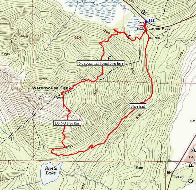
Eldorado National Forest
|
Waterhouse Peak Eldorado National Forest |
September 13, 2022
Anxious to get back to the mountains after two weeks of all-time record-high
temperatures, I expect to enounter good weather today in the Tahoe area.
Unfortunately, in my exuberance I have neglected to prepare my usual map and some useful
waypoints. If I had a brain, I would find something else to do, but no —
a knowledgeable hiker friend says that, "There is a trail, sort of"; so I'll take
my chances.
Just before I start out, a Forest Service fire truck pulls up. Three men clamber out and head up the trail, each with a communications device in hand.
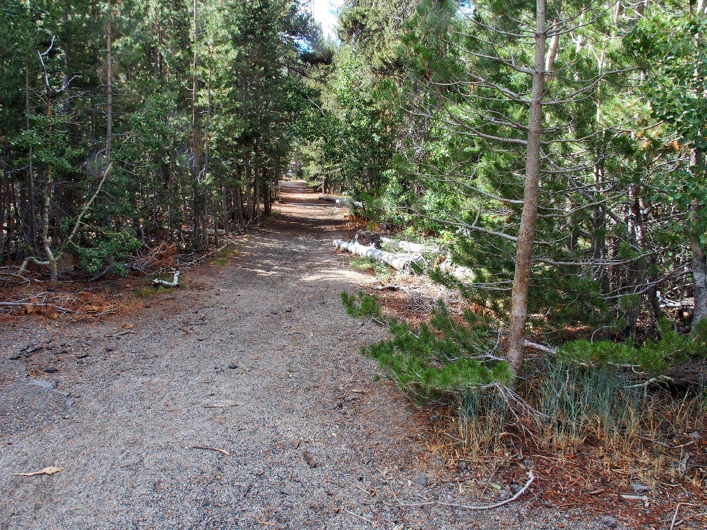
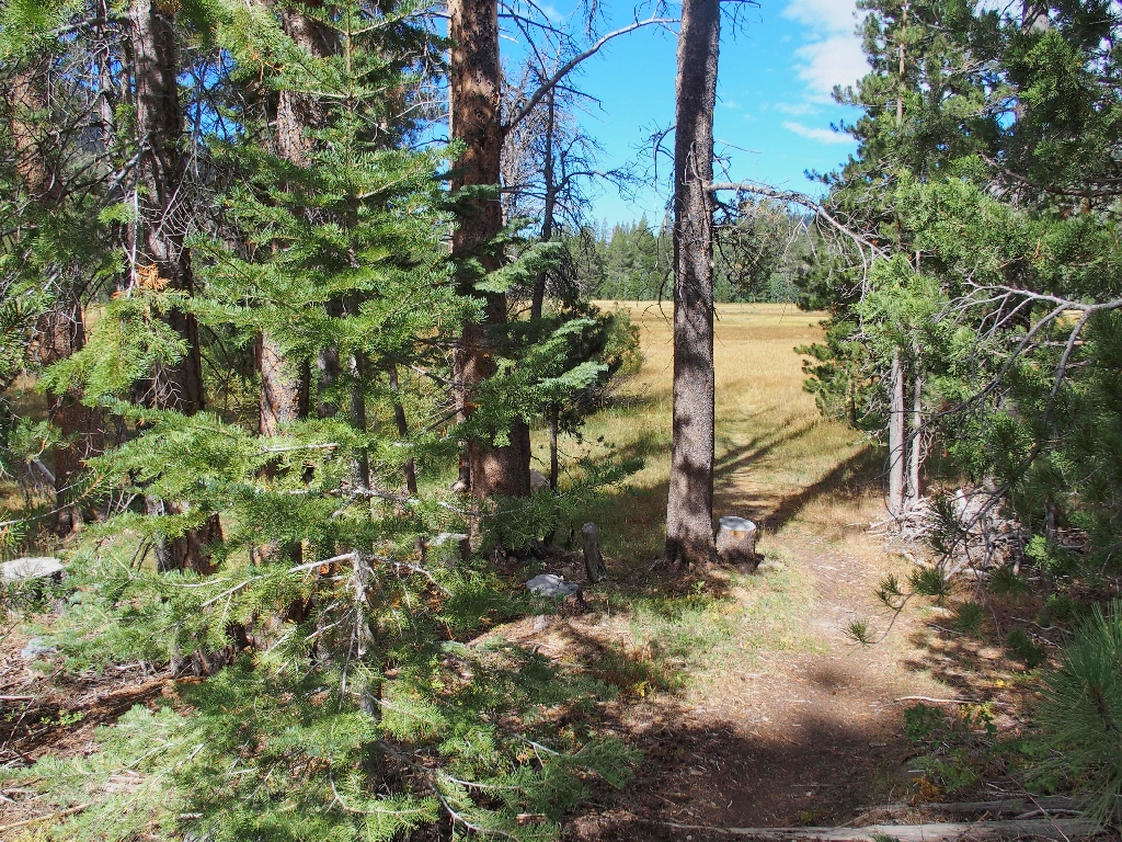
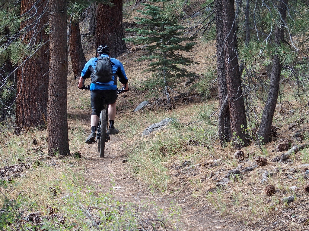
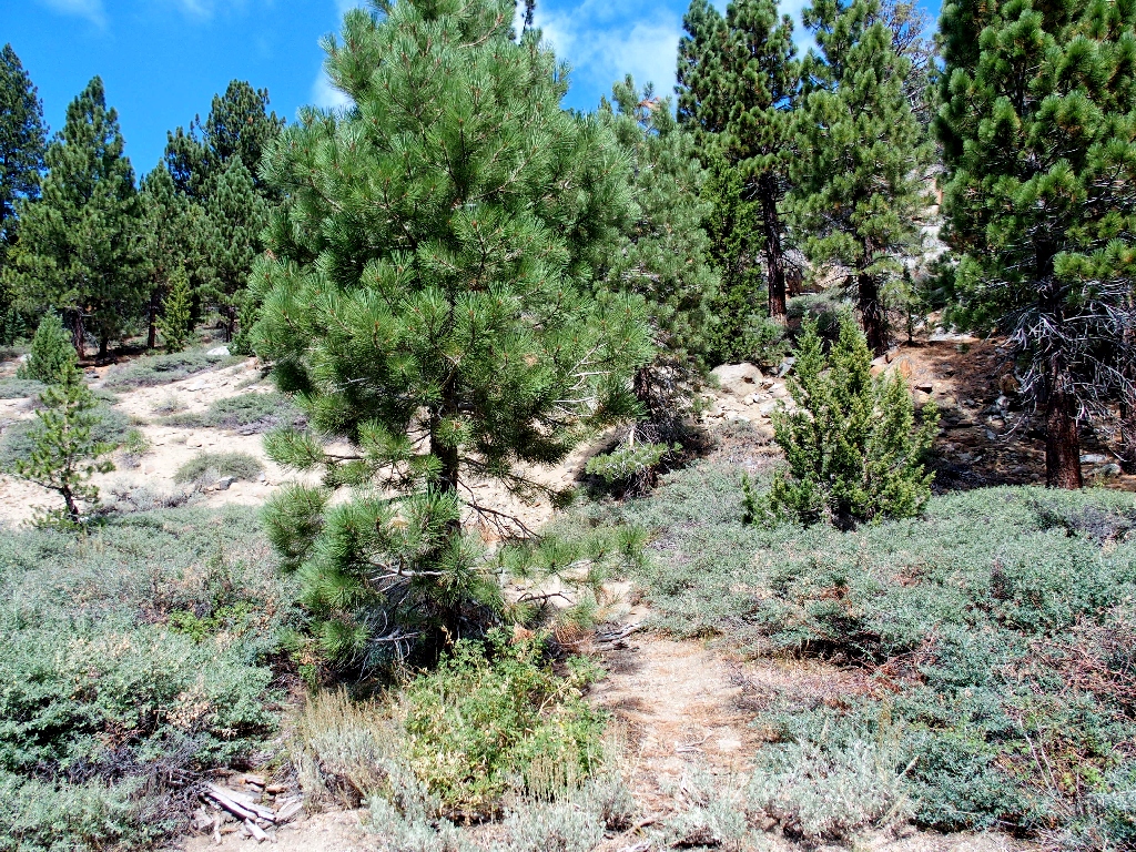
Getting started on the old Luther Pass Road
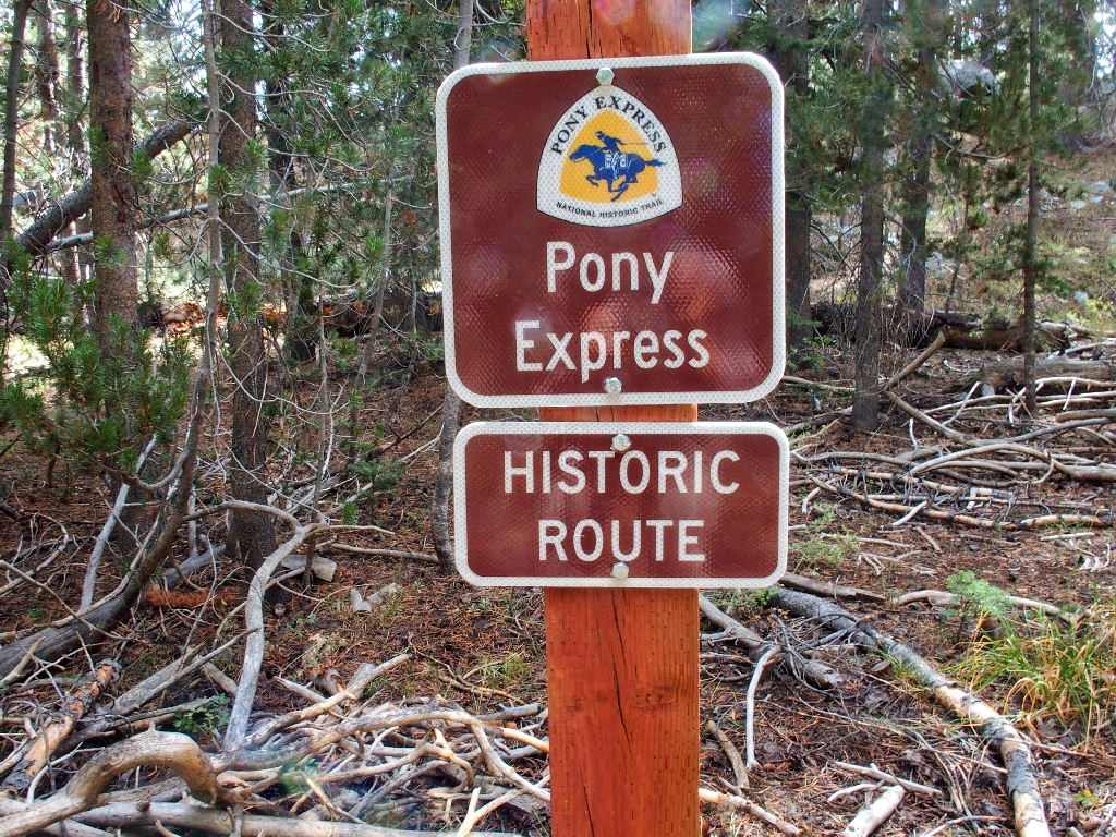
Having not walked here previously, I didn't know that this was the Pony Express route.
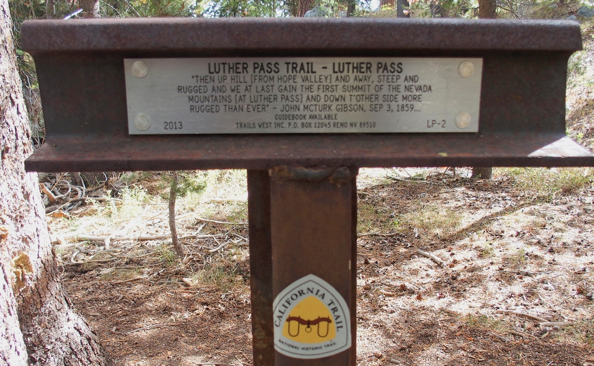
Some local history ⇔
Almost immediately, a trail branches off to the right into the big meadow. Is that what I want? Let's find out.
Nope. The path dead-ends shortly, but I do get to meet up with a local resident.
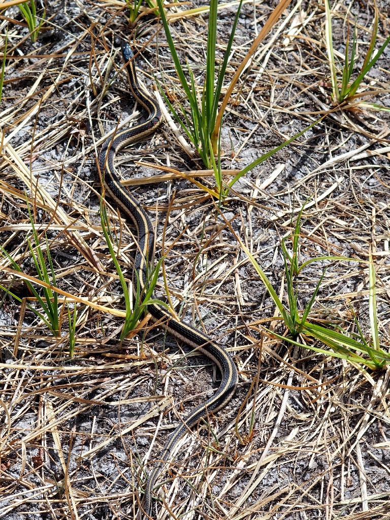
This guy never moves as I walk by
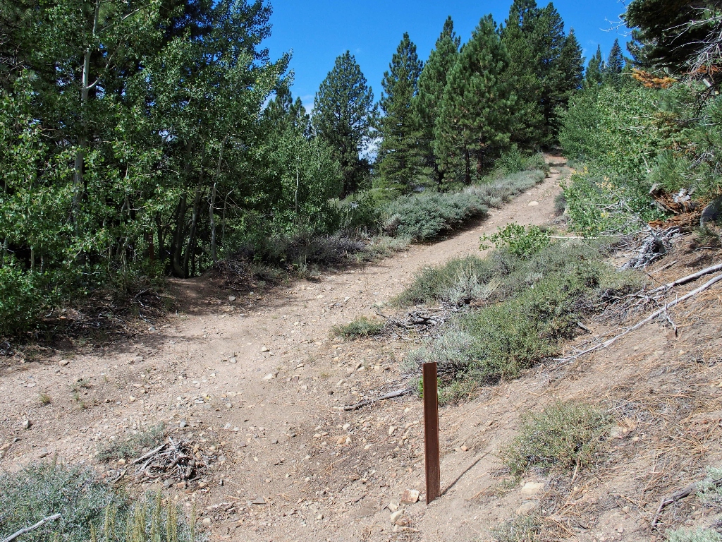
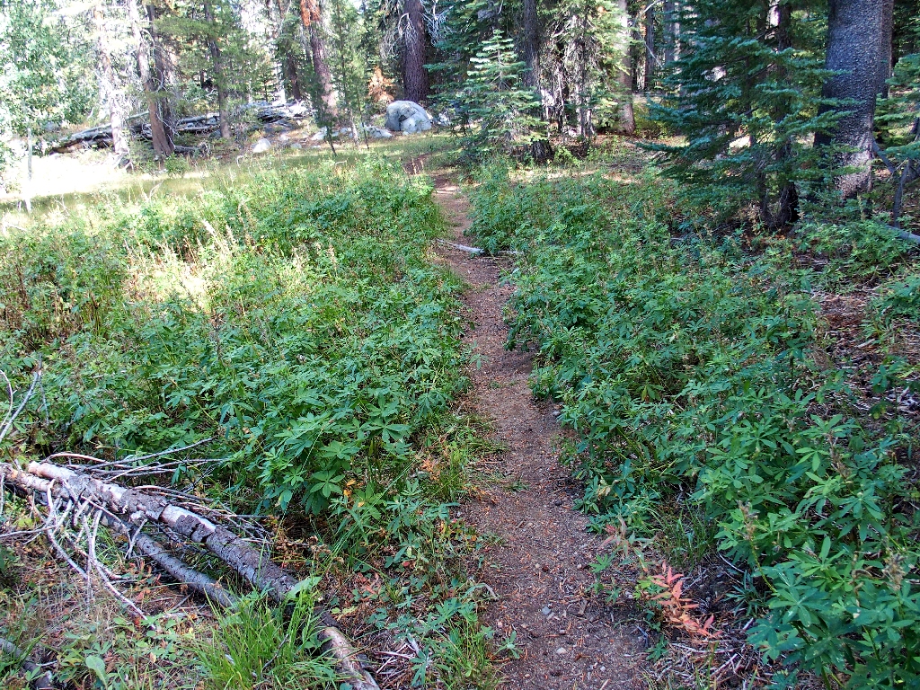
Very shortly after that detour, a well-used trail leaves the pavement. Taking this one must be right.
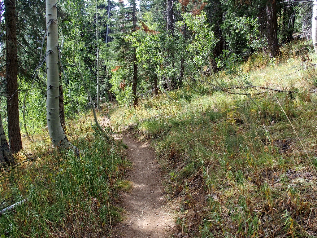
Back on the Luther-Scott Lake Connector
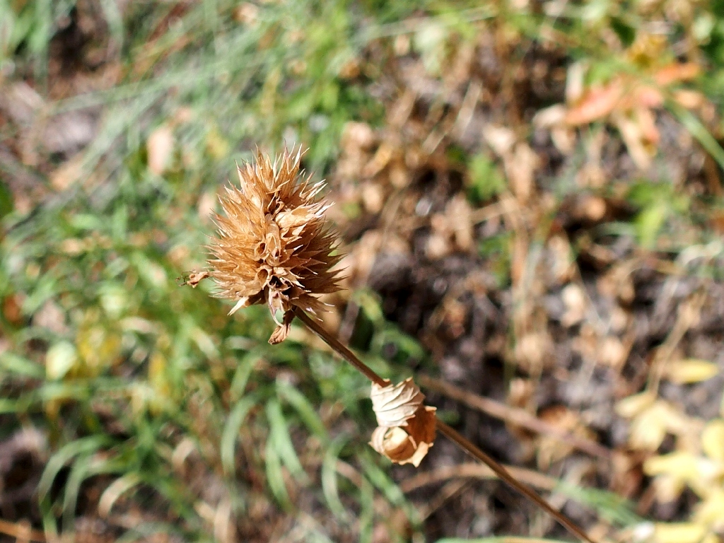
The climate is perfect today. It rained around here last night, and lots of clouds are floating around. This is good. I have yet to see a healthy flower, though.
Chia
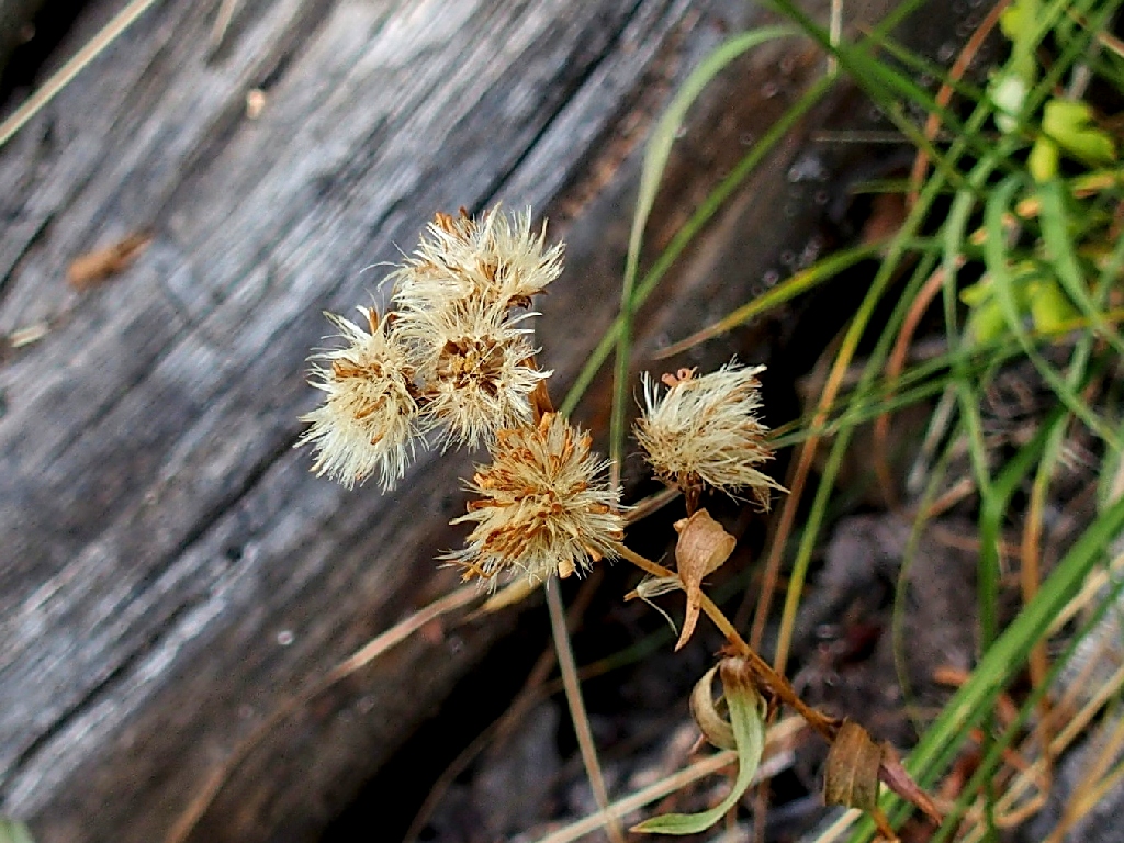
Large-leaved Aster
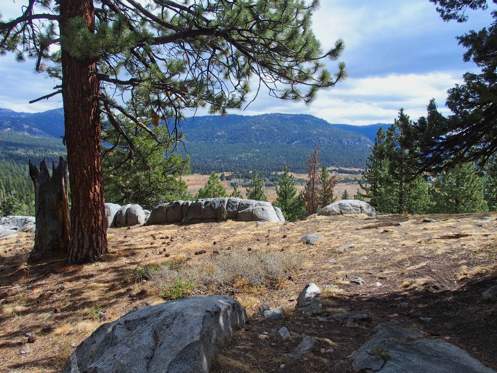
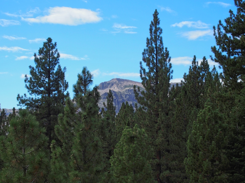
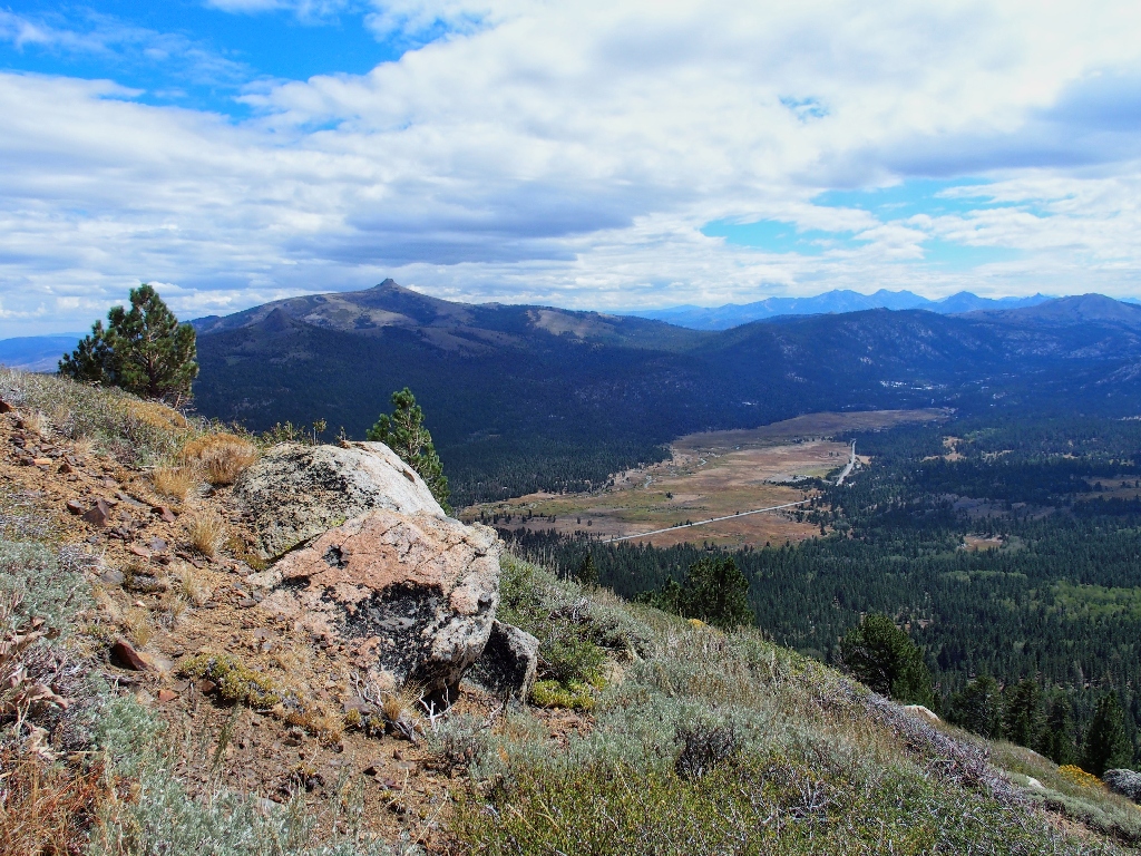
Hope Valley is a favorite spot
Hawkins Peak, 10024'
This fence has long-ceased to have any function
This explains the tire tracks on the trail
Stevens Peak, 10024'
Eventually, the three firemen reappear at various intervals, running back to the trailhead. They were just out for a morning constitutional; I trust that their boss approves.
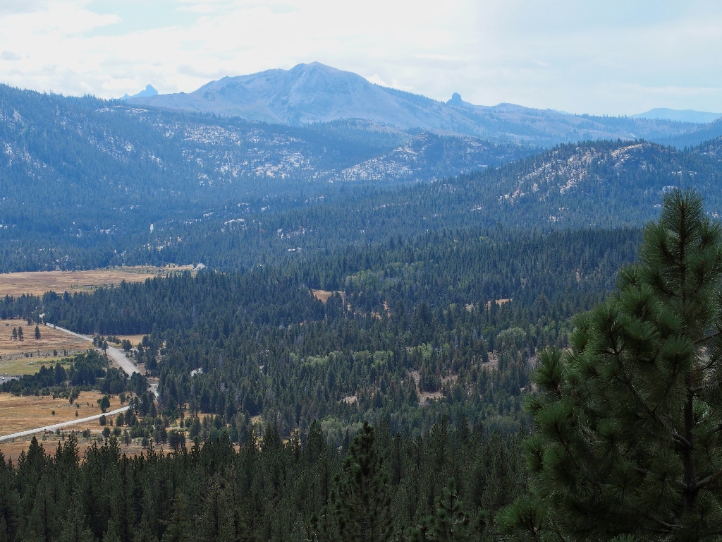
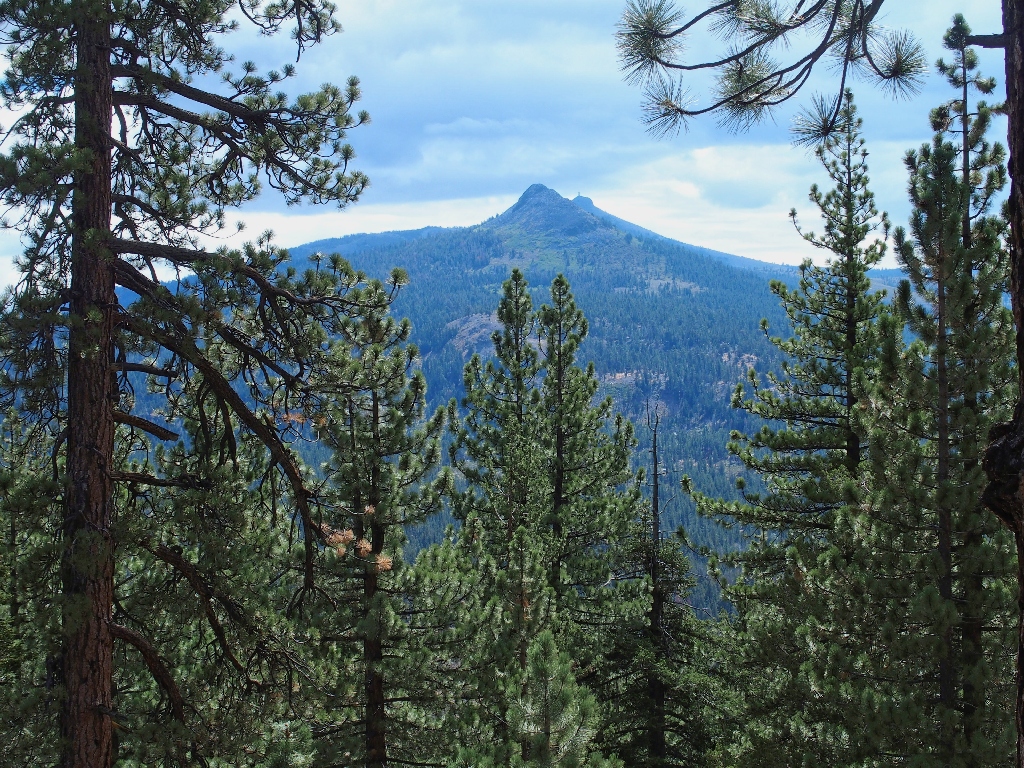
Raymond Peak, Markleeville Peak (9415'), and Da-ek Dow Go-et Mountain
That last one is a renaming of the former Jeff Davis Peak. I am not the only
one who thinks that they could have come up with a more user-friendly moniker,
which Washoe tribe meaning is "saddle between two points". Similarly, Nevada
renamed its second-highest point from Jeff Davis Peak to Doso Doyabi Peak,
meaning "White Mountain" in Shoshone. That one is much easier to pronounce.
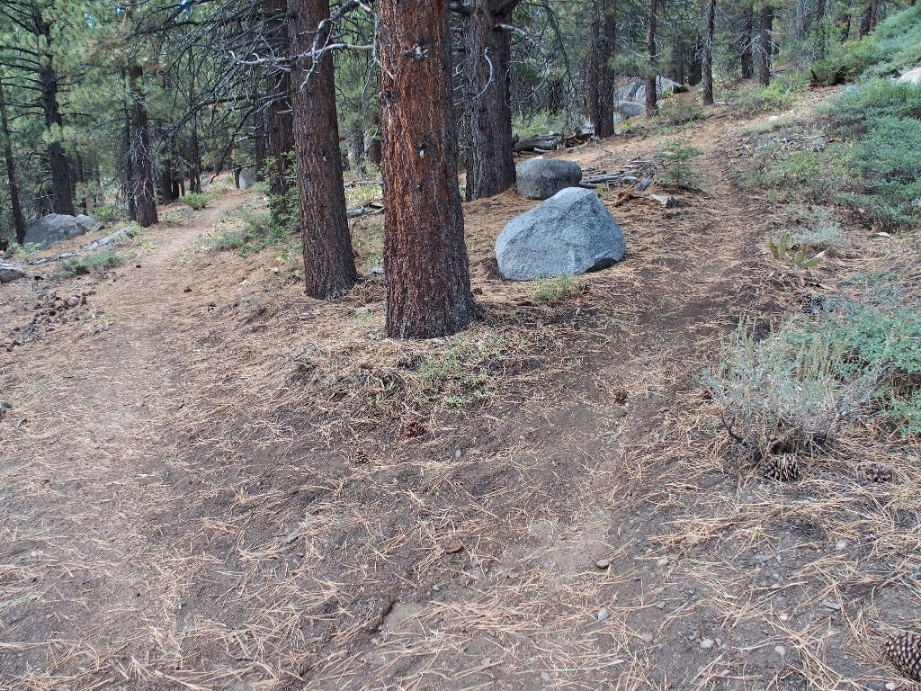
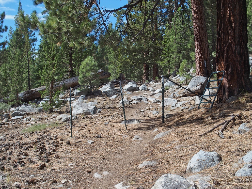
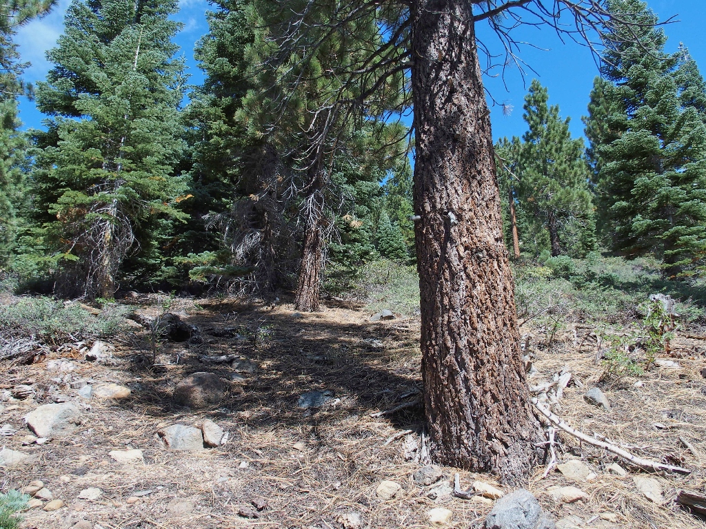
Taking another right-hand turn
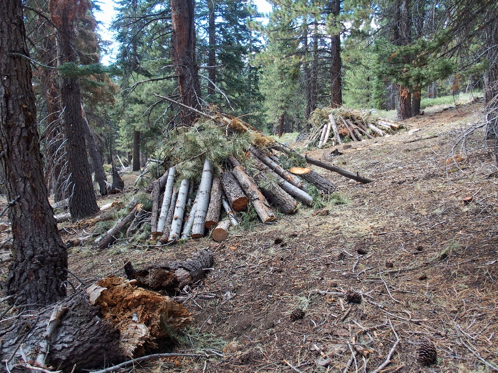
Fire-prevention cleanup
Vehicle sounds are just ahead; albeit unwanted, they were not unexpected. I am approaching Scott Lake, which I never have seen previously, despite having driven or hiked within a mile of it many dozens of times. Go figure.
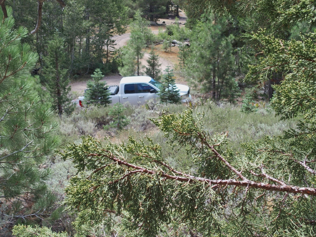
Apparently, one can drive to the lake. Why didn't I know that?
The trail continues down to the lake; but my basic objective is the mountain to my right, so I head up the road instead.
Nothing ventured...
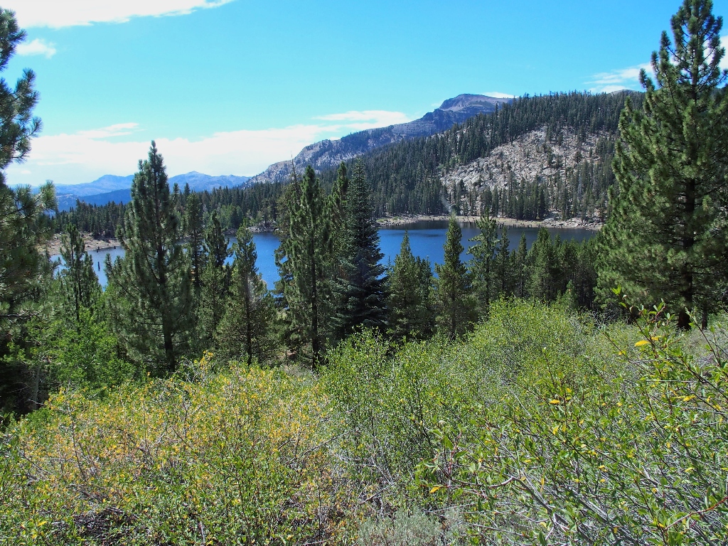
My first-ever view of Scott Lake
Presently, the roadway loops back the other way. This is okay, because now I am heading toward the trailhead. Whatever happens, I won't need to retrace my steps past Scott Lake.
I had not expected to begin my climb on this side of the mountain, but it seems right to start up the slope on what looks like a faint path.
The adventure begins
Almost immediately, any semblance of a use trail disappears. Although the hillside is relentlessly steep, the going isn't difficult at first; but that soon changes when the slope becomes a manzanita forest.
It gets worse — much worse
After that, the bushes become smaller; but all the high-stepping and sliding
backwards in the scree begin to take their toll. It becomes a routine of climbing
for perhaps a minute or so, then flopping down on a sandy spot to rest my burning thighs
and let my heart rate come down.
I have climbed a thousand feet now, with no end in sight
It seems right to try to traverse the slope to save on energy; but every time
a moderately sandy passage presents itself, I choose it to avoid unnecessary
bush-trampling. The result is a virtually straight-up route.
Ugh.
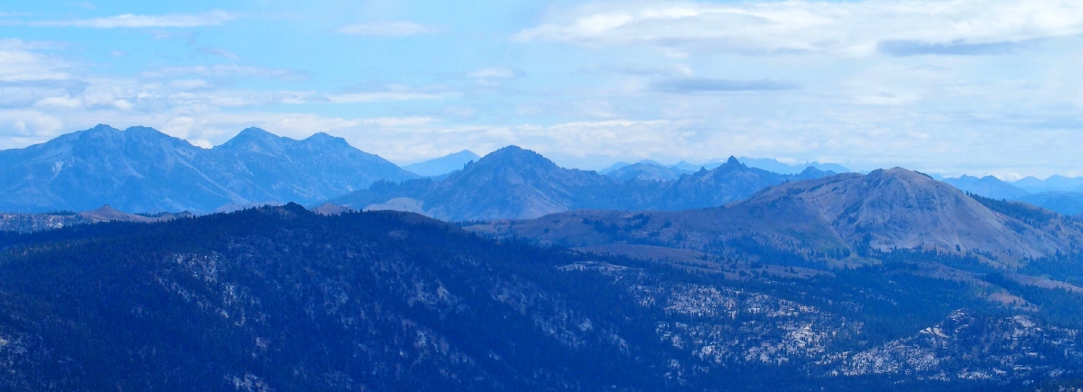
The amazing Ebbetts Pass skyline ⇔
Now my climbs are even shorter — perhaps only 20 to 30 feet. Although
I am not in any distress, I am spending far more time sitting than moving. That is
okay, though, as long as there finally will be an end to this self-torture;
but at every seeming high-point, a new expanse of hillside presents itself.
Finally, after perhaps twenty rest stops and a hands-on effort up through the bushes and talus, I reach a plateau. Checking the GPS, I find that my enervating scramble was fully 1,300 feet worth. Omigod! I never would have dreamed of actually planning such a thing.
That's where I came up — straight up
I am too weary even to amble back down a ways to get a better view of my erstwhile hillside. Across the way, I see what looks like the true summit; but at this juncture, I don't even care. I have done enough climbing.
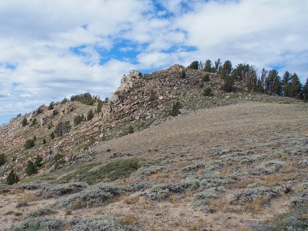
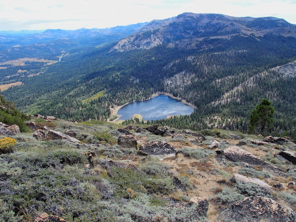
Waterhouse Peak (9497') is an O.G.U.L. peak
It does occur to me, though, that there might be a social trail to the summit on the north side of the mountain; so I head over to the trees to check on that.
It's lunch time — my usual menu of a clementine plus some nuts and seeds
I don't see any semblance of a trail anywhere, so there is nothing for it but to start down. Because I wasn't smart enough even to mark a GPS waypoint at the trailhead, I probably won't choose the shortest route. It will just a be a matter of taking the path of least resistance in a generally northeasterly direction.
Starting down, in view of Freel Peak (10886')
The going is much easier on this side of the mountain — lots of nice duff at first, then some clambering over logs and dead branches. Presently I encounter a discarded plastic bag, dispelling any notion that I might be traveling "where no man has gone before".
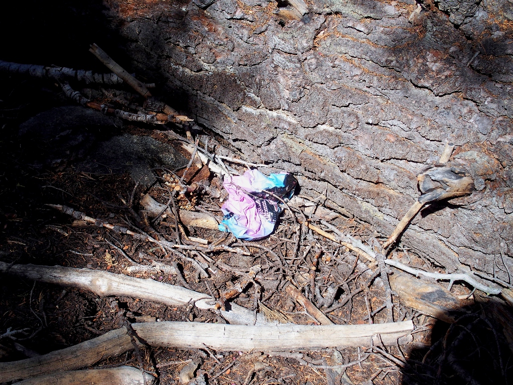
After pouring out some water, that thing fits into my back pocket
My aged knees really are not liking this at all, but they hold up fairly well for
what turns out to be a 1,400-foot descent to the edge of the big meadow,
where I enounter a real trail. Somewhat unsure of which way to turn, I start
off to the right. This path looks unfamiliar, which is good, because I wouldn't
want to be retracing the route to Scott Lake.
When I encounter a tree stump that looks familiar, however, I retrace my steps
for a good quarter-mile, whereupon fortune smiles on me. A pair of fit
young women appear and assure me that Luther Pass is back the other way, so I turn
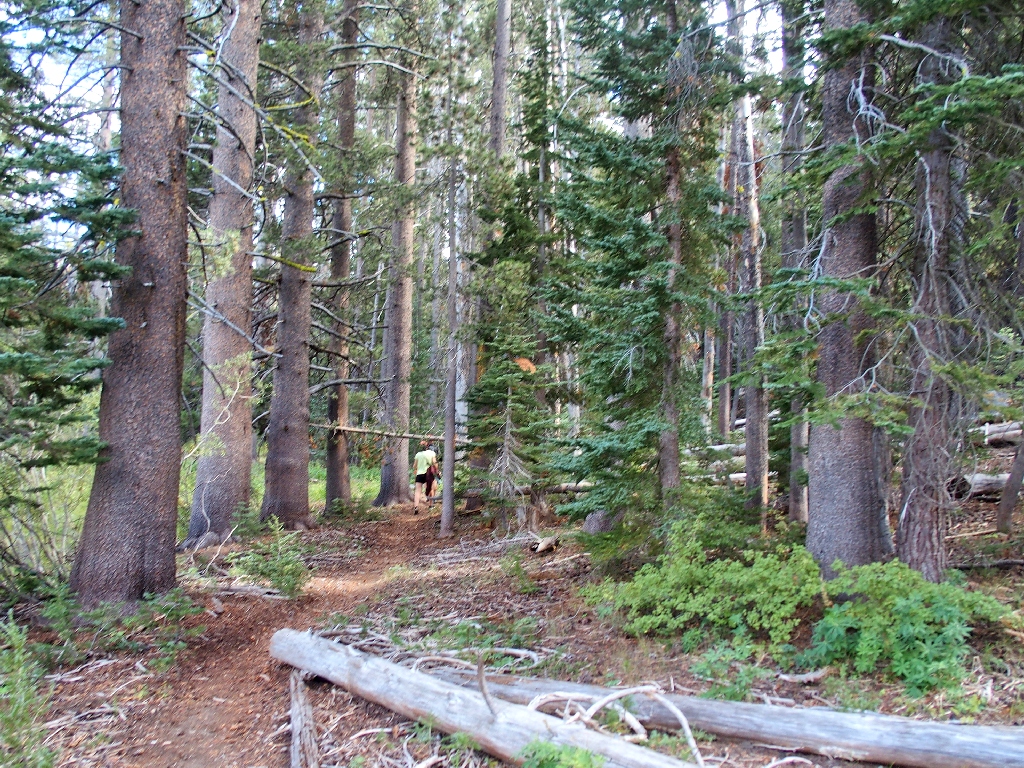
around and follow them. Within ten minutes, I am back at the car.
They are not as tired as I
§: Well, have I yet learned my lesson? Am I finally resolved to
avoid any new adventure without appropriate research, planning, and a map?
I hope so. At least, I did have the presence of mind to tote my emergency
beacon, knowing that I would be out of contact with others most of the time.
Subsequent online research shows that some other hikers tend to head from the
trailhead more or less straight up the ridge, approximately following the dotted black
county line on the map. Oddly enough, however, Cal-TOPO shows no semblance
of a trail up the mountain; I find that strange because they show trails that aren't even
trails anymore.
I would point out, however, that such a route would be just a peak-bagging
venture with little to no scenery except at the mountain top. My southern
approach, which I wouldn't actually wish upon anyone my age, was mostly out of the forest;
so it did provide a lot of nice views to the south, which is where all the local views
are anyway.
This hike's difficulty compels a serious reduction in the ratings; but there was some nice scenery and I did survive it without any real incident. I do resolve, however, never to remotely consider another steep 1,300-foot bushwhack.
| Scenery |  |
| Difficulty |  |
| Adventure |  |
| Flowers |  |