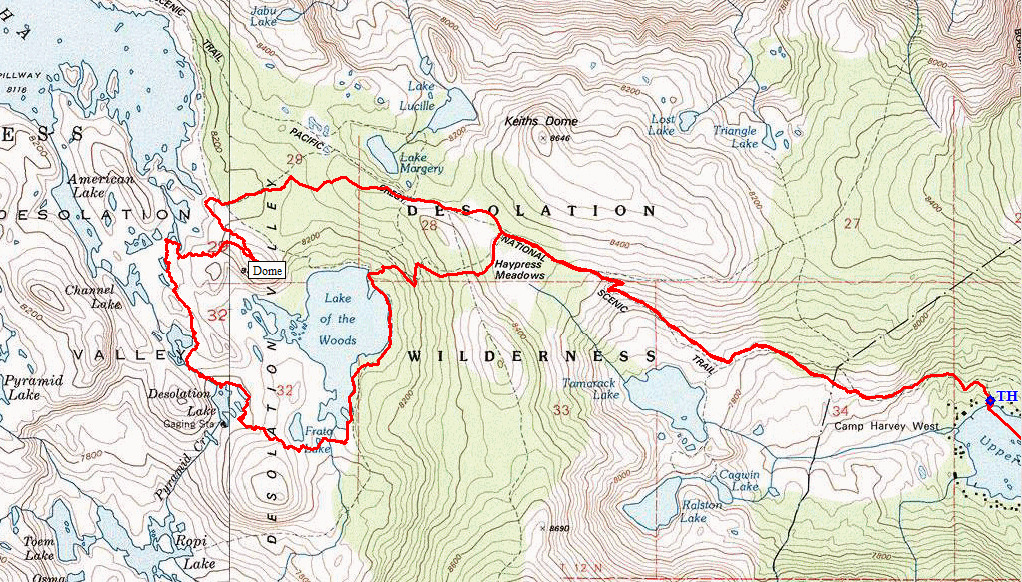
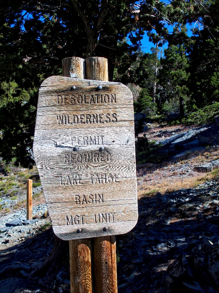
Desolation Wilderness
|
Desolation Valley Loop Desolation Wilderness |
August 6, 2022
This is something of a big day, in that I finally am going to meet in person some folk that have been corresponding by email. Freak rainstorms have forced us to move the hike to a Saturday, and already I am experiencing the undesirablity of that. There is no space in the parking lot!
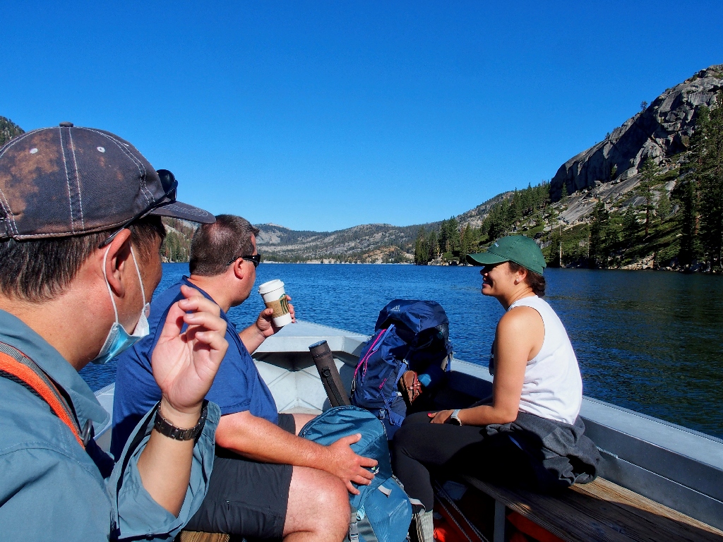
Even the nearby roadside overflow areas are filled. Finally, I am able to park beside the skinny road about a thousand feet from the hikers' lot. As I am walking back toward the Echo Lakes Resort, the driver of a little red car hails me; it is my email correspondent Allen, who apparently recognizes me from website photographs! He manages to park right behind me, and soon I meet up at the boat dock with Allen, Walter, and Fintan from the Bay Area.
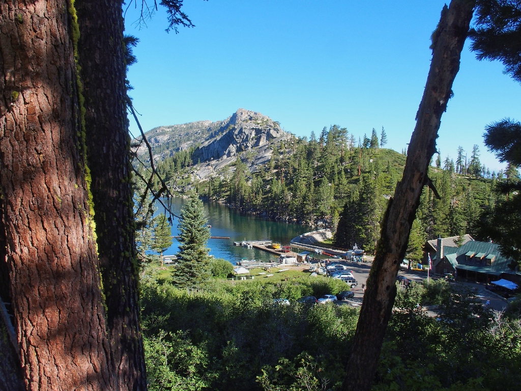
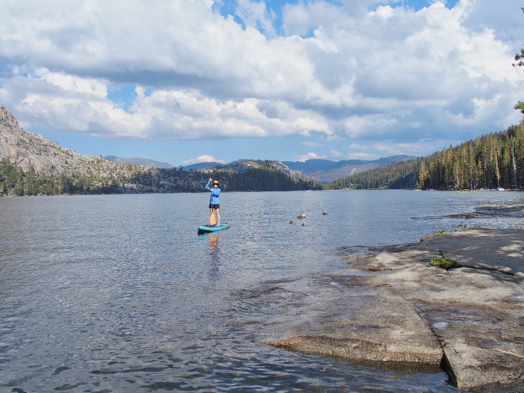
Our outing begins down there
As per the plan, we secure tickets for the first boat-taxi to depart, right at
nine o'clock, along with two other hikers. The attendant acknowledges that this
first Saturday in August always is the busiest and most chaotic day of the year,
partially due to some special event among the local cabin-owners.
Now he tells us!
This saves us nearly three miles of lakeside walking
The ride has become ridiculously expensive at twenty dollars for ten minutes (each way!), but it will let us concentrate on the trail mileage that counts for more. It still will be a four-mile walk into Desolation Valley proper.
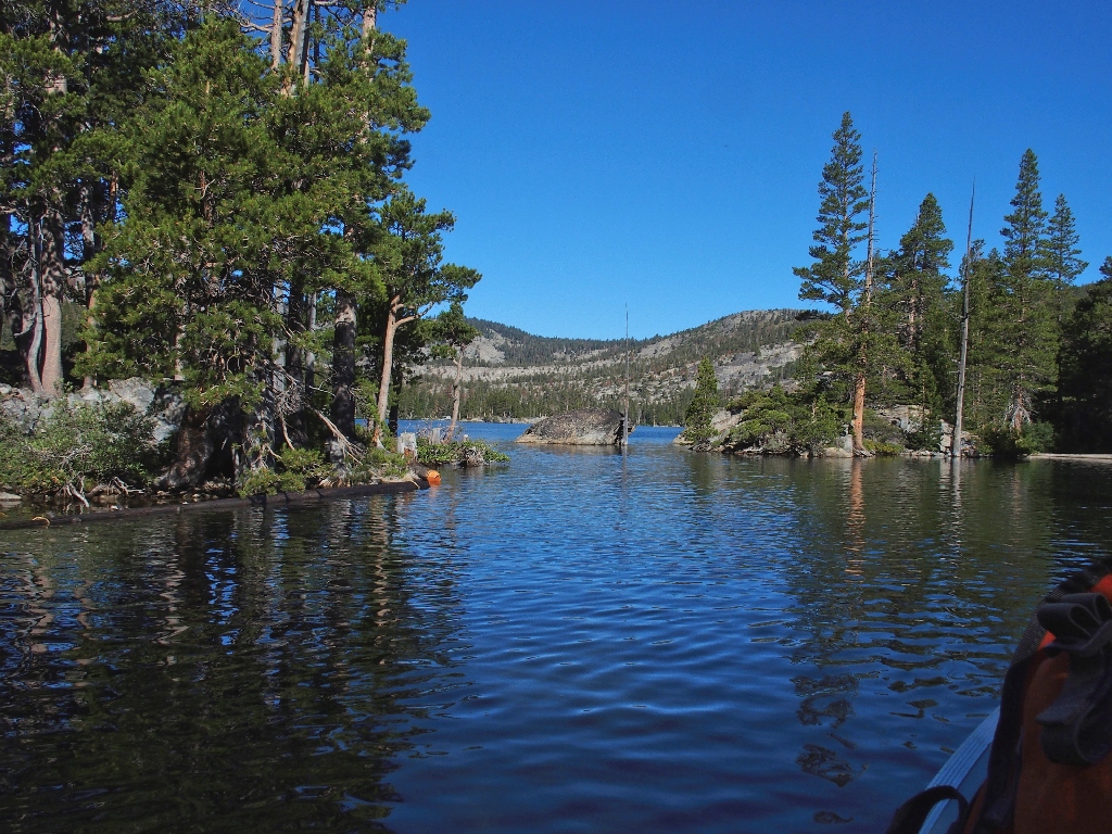
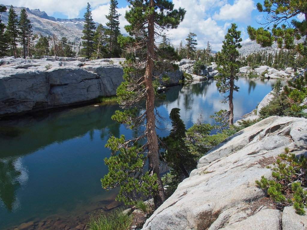
The wonderful 'magic' channel between the lower and upper lakes
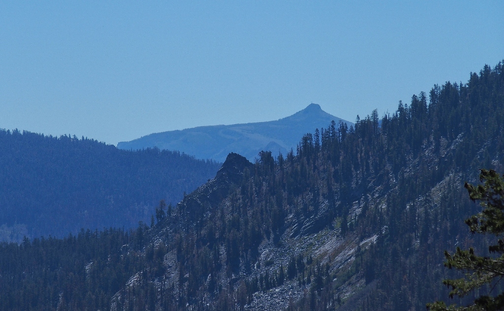
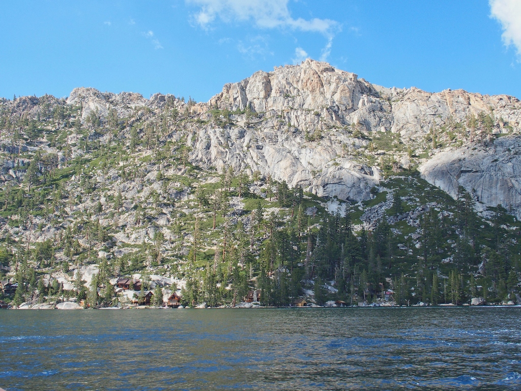
Last year's Caldor Fire burned off the south side of this canyon, but spared the northern side where the trail and most of the cabins are.
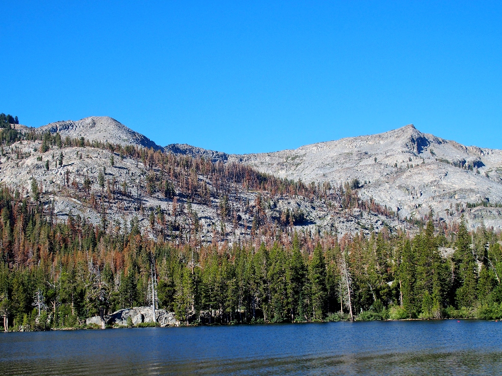
Those mountains are totally devastated on the other side
As our boat docks, we are admonished to use the phone in the little shack if we need
to summon a late-hour taxi; but we must call before 5 p.m. in order to avoid
the extra three miles of walking.
There is no pencil at the permit kiosk, and nobody is carrying one; so I simply stuff a blank form into a pocket, which actually would serve little purpose except to show that we made the effort.
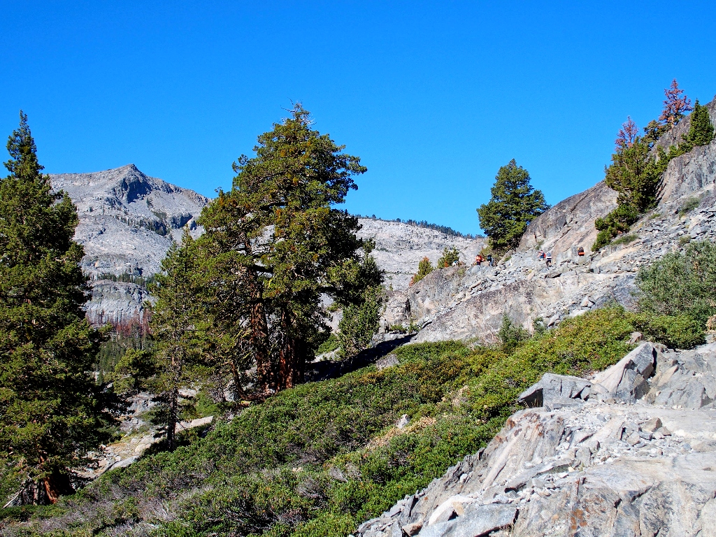
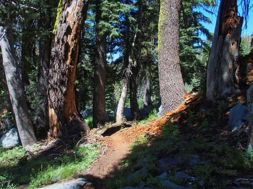
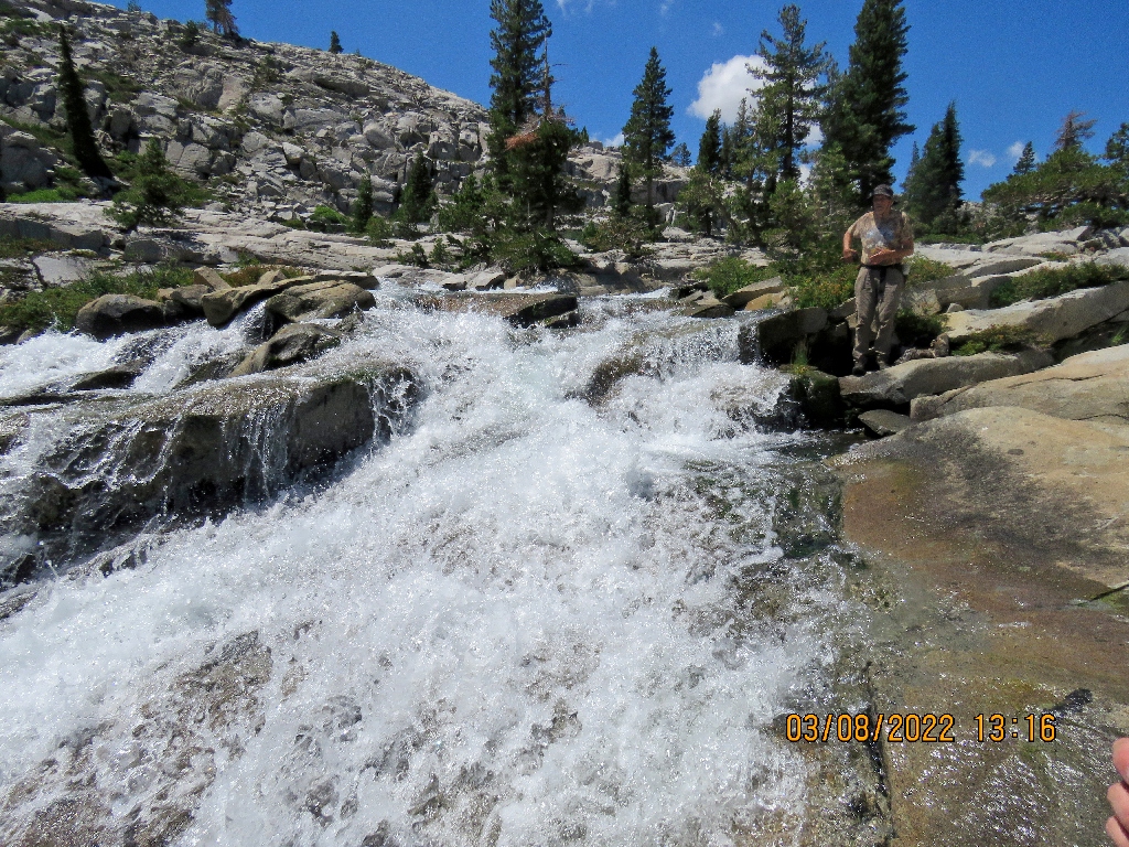
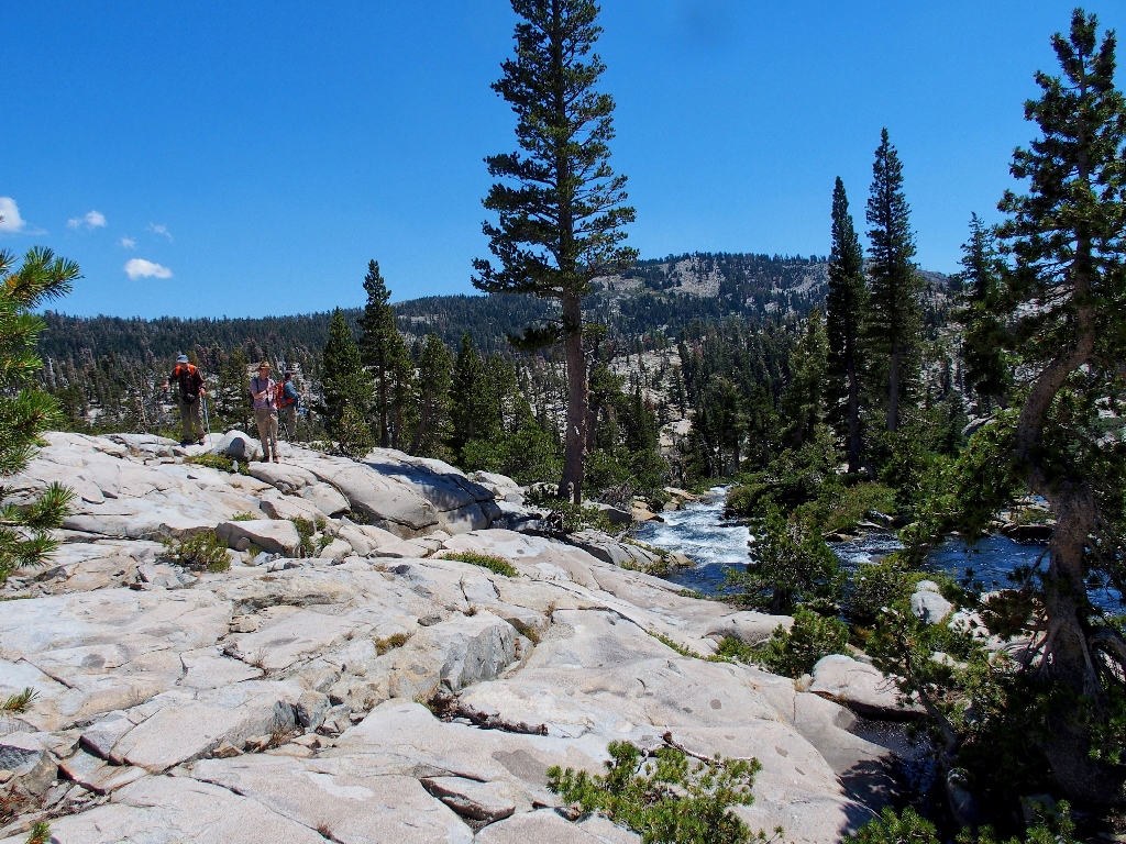
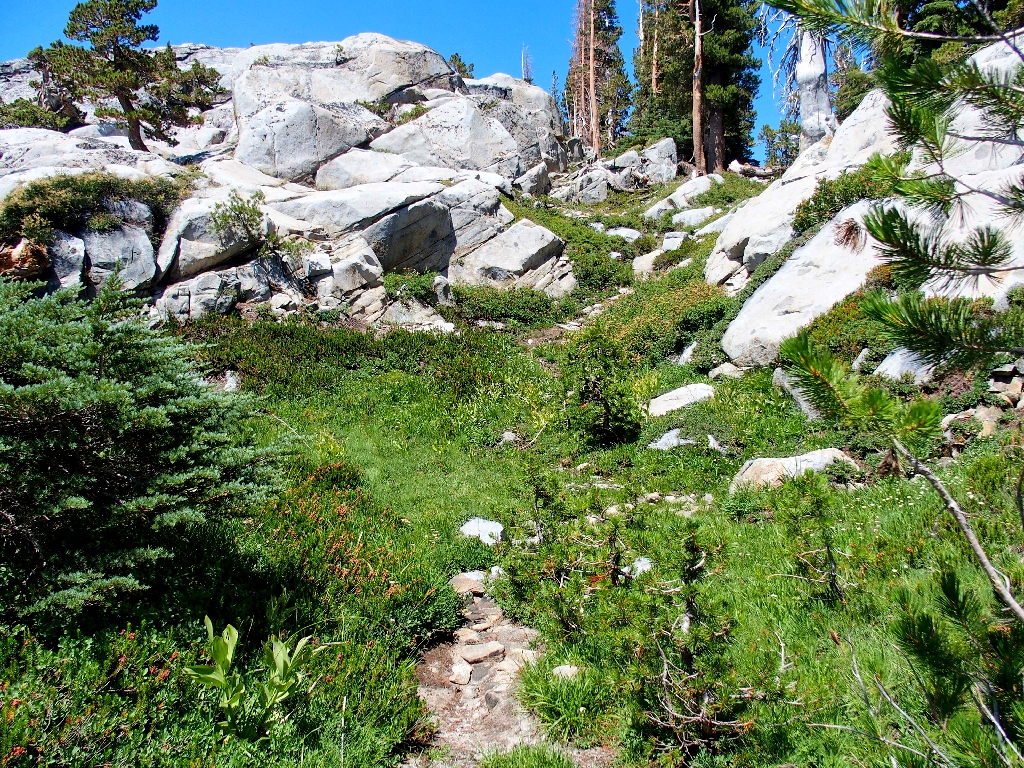
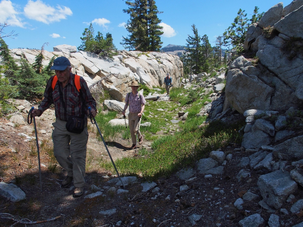
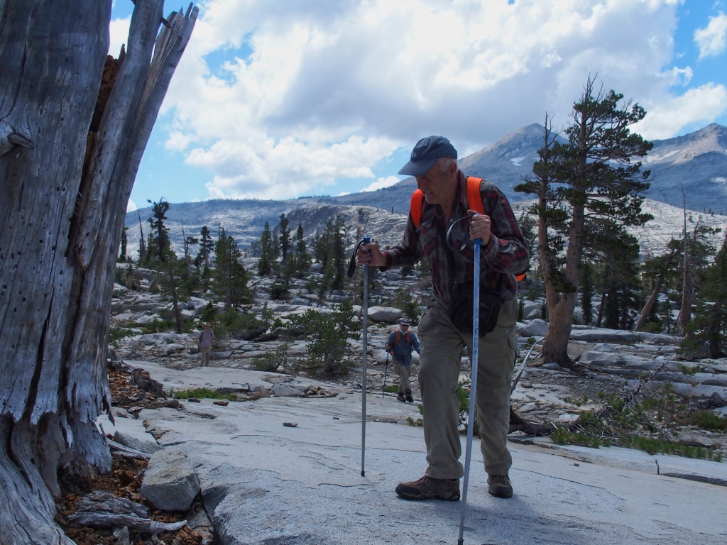
Starting up the very rough trail
The most prominent area landmark is Ralston Peak, some 1,700 feet above us.
Allen and Walter climbed up there from the opposite side recently, braving the devastation
that was caused by nothing more than a spark from a hand-held weed trimmer.
I ventured up there seven years ago, but that might well have been the last time.
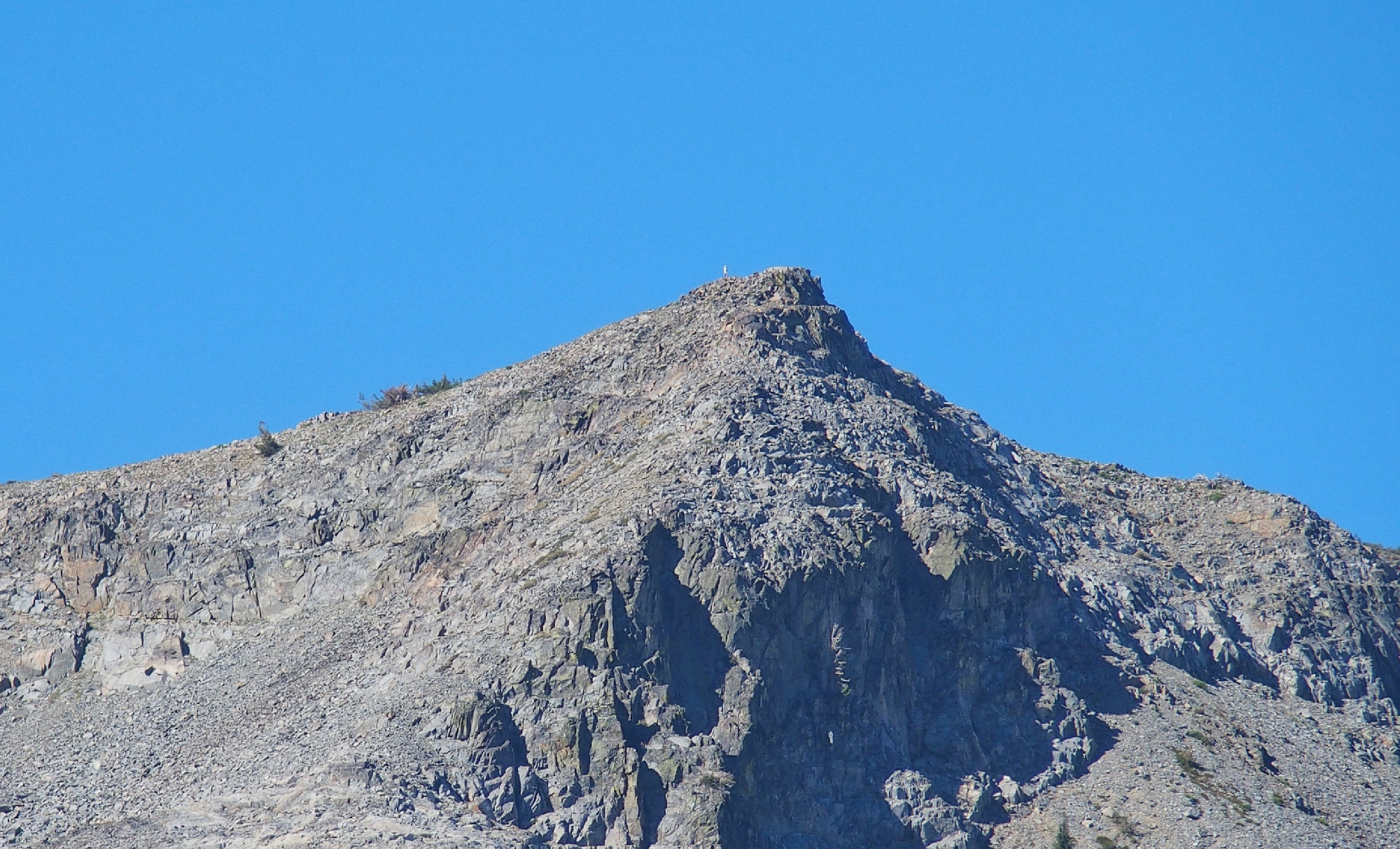
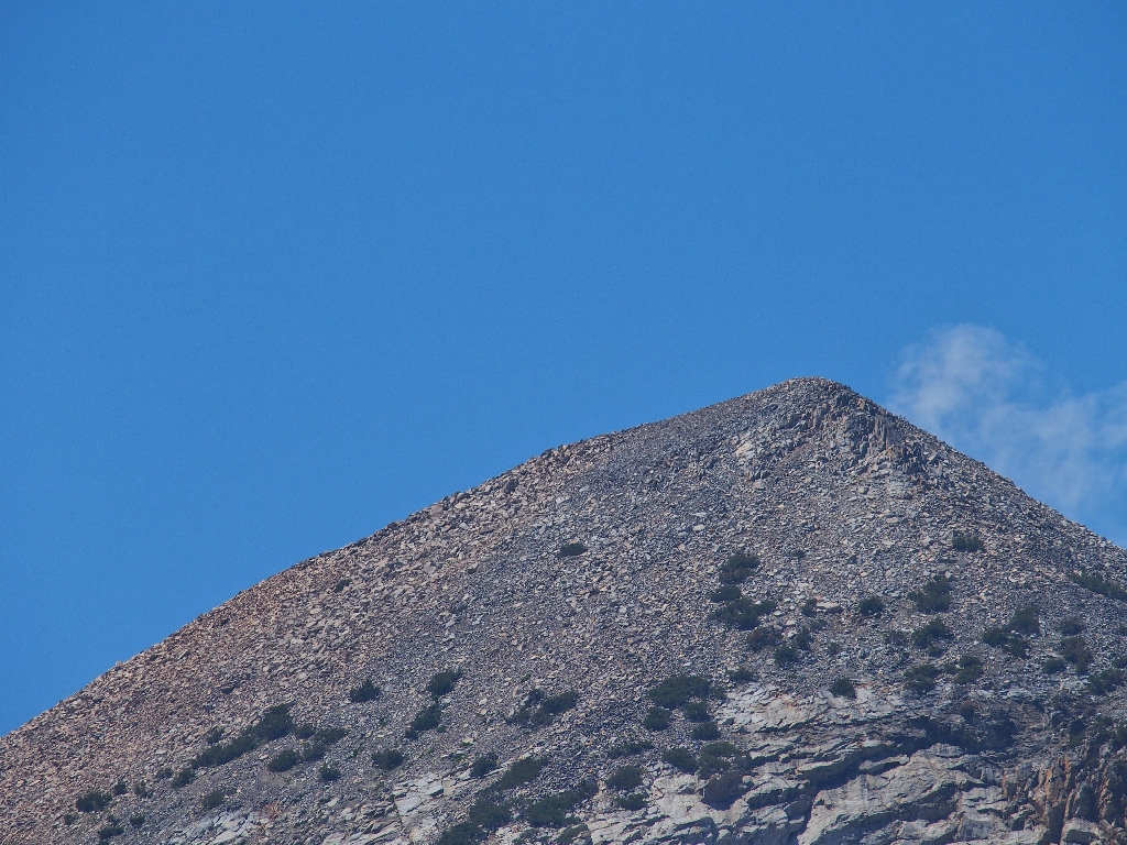
There is a person on the summit ⇔
I still would like to visit Cup and Saucer Lakes up there, though; they are on my bucket list.
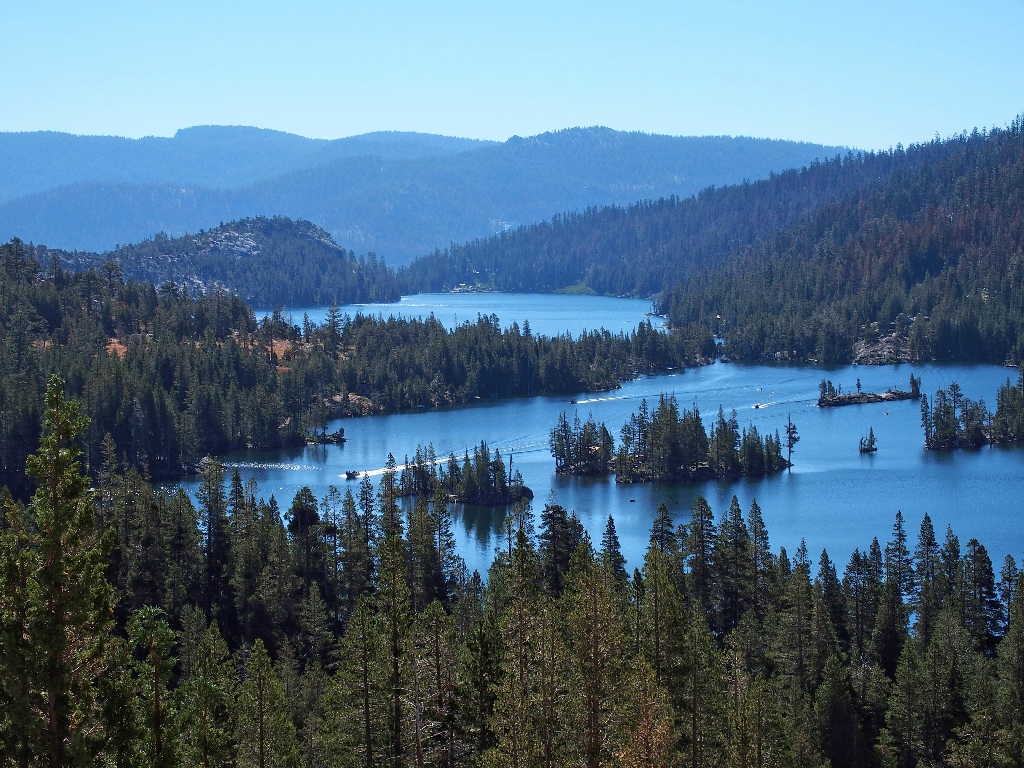
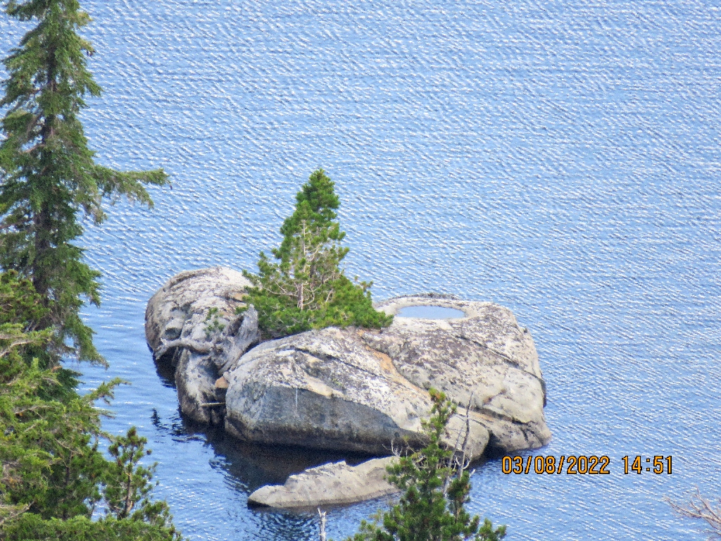
Looking back at Echo Lakes
Some of those islands even have cabins on them. What a deal.
Always a pleasure
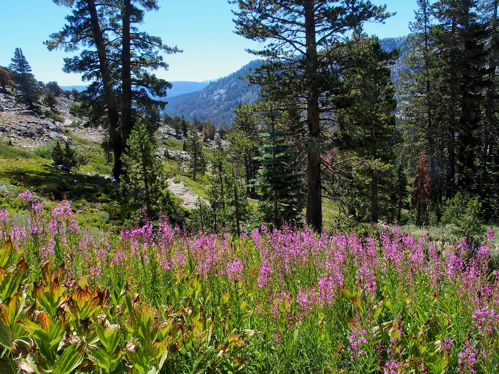
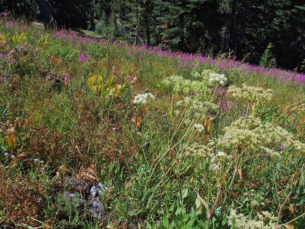
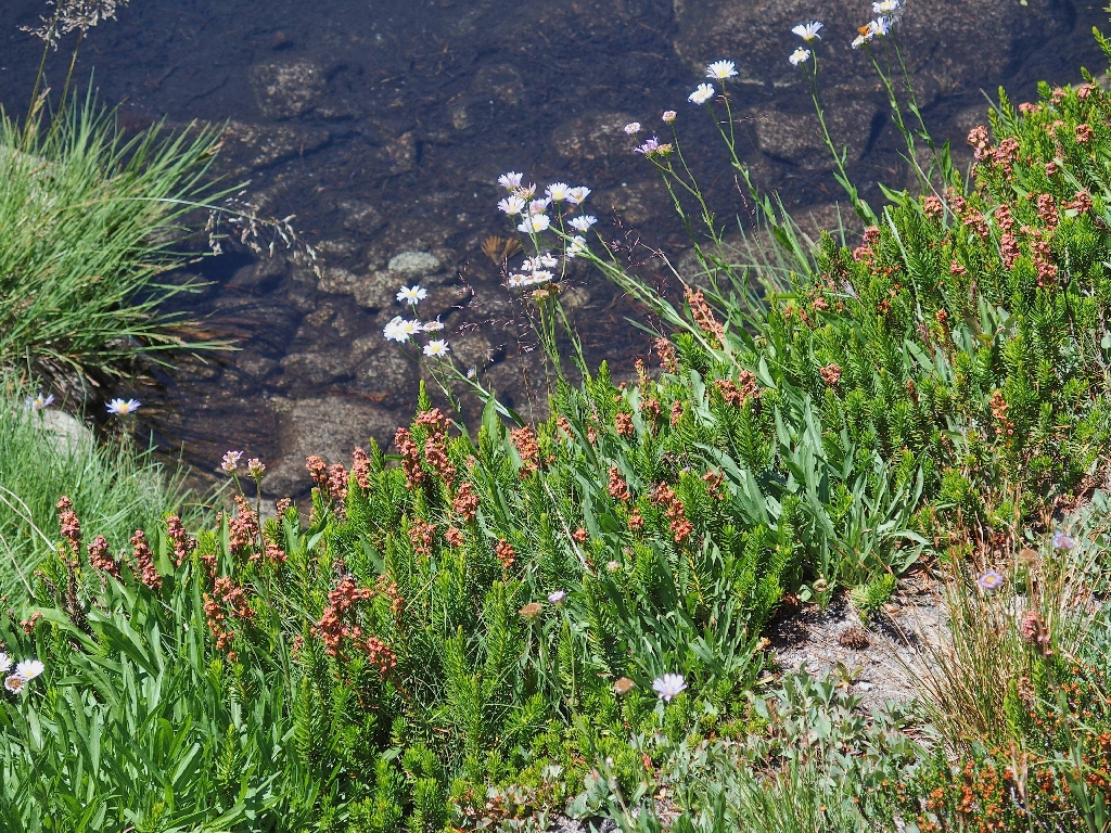
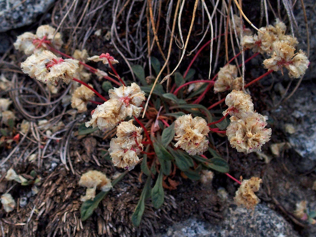
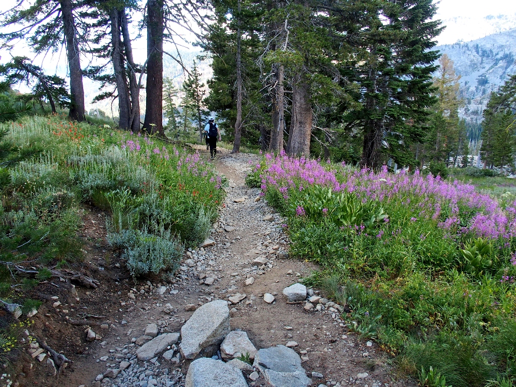
The prime flower season already has come and gone at this 'lower' elevation, but one variety invariably is around to please us:
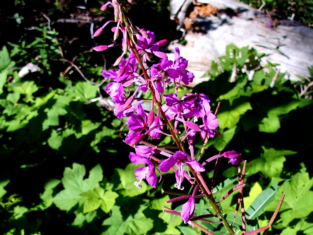
Fireweed
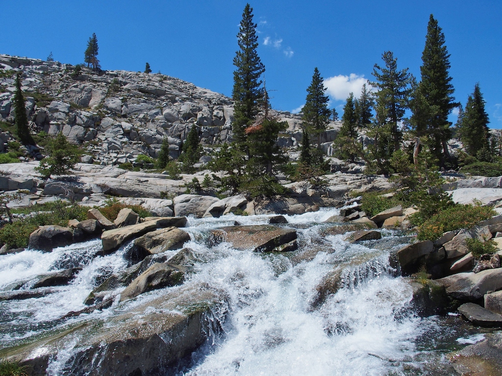
All of the busiest portions of the major trails in this area are reinforced by
gruss, or big gravel. Although I appreciate that the Forest Service must
do this in order to maintain the trail's integrity and mitigate maintenance costs,
that doesn't make the hiking any easier. This route is about as popular as
they come, being a combination of the Pacific Crest Trail, the Tahoe Rim Trail,
and the older Tahoe-Yosemite Trail (which predates the PCT).
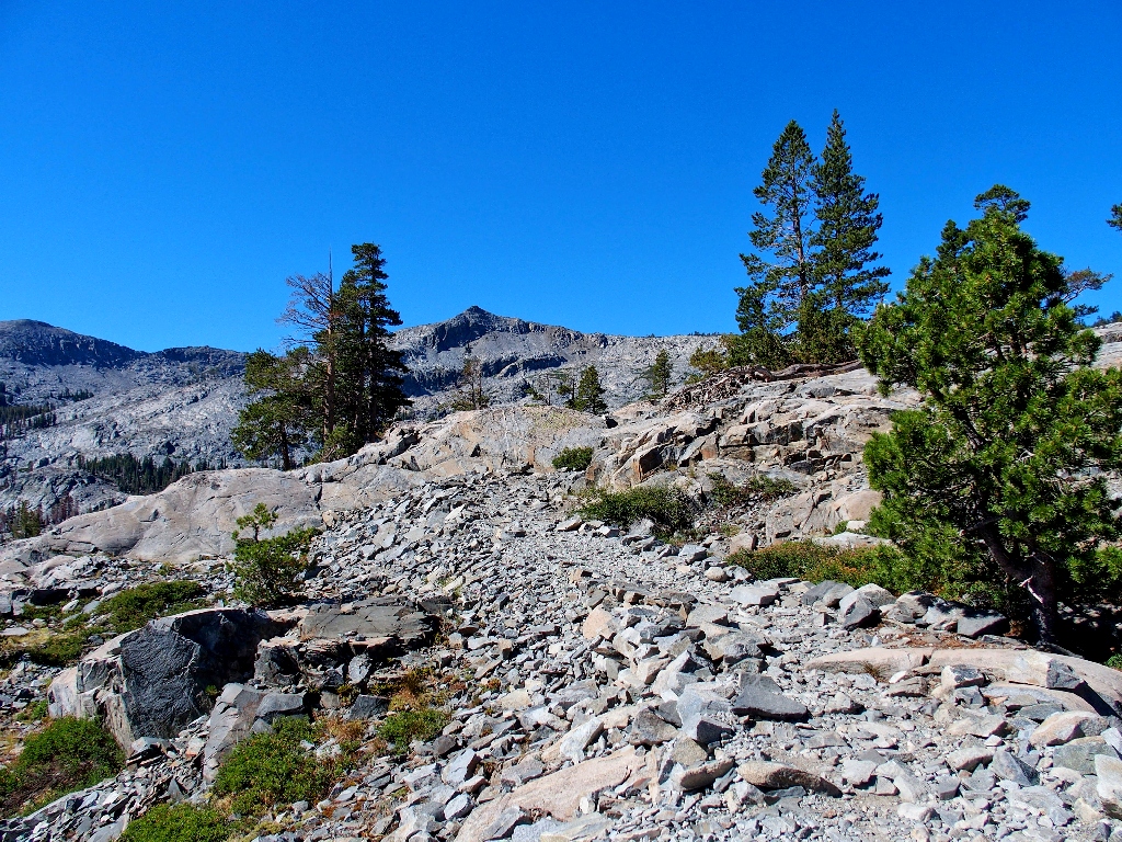
It's like this, and worse, for two miles
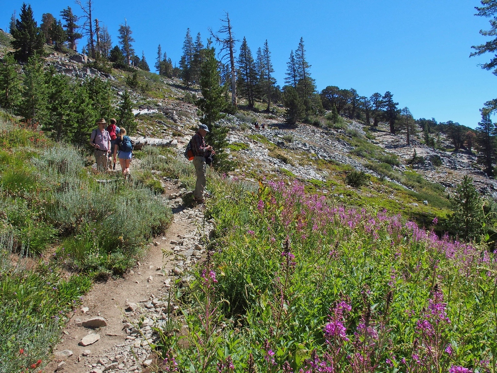
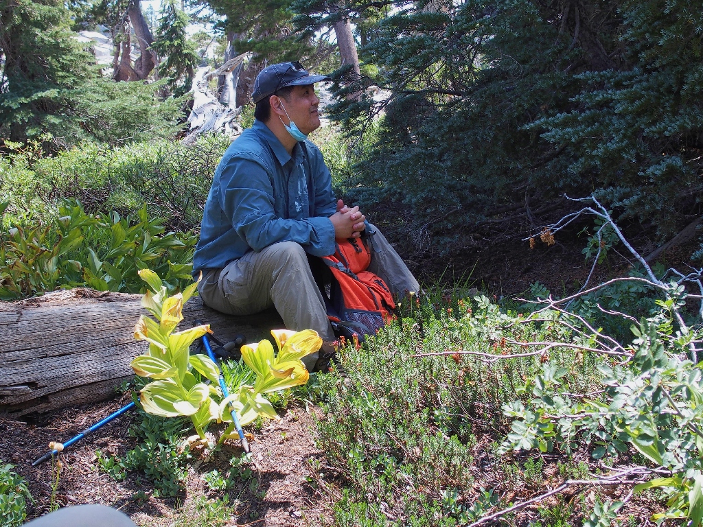
I am pleased to see that my companions are reasonably fit, as expected.
Fintan (that's a real Gaelic name, by the way) admits to being just 54 years
of age, but Walter is somewhat older than I, in his eighties. It's a rare
treat for me not to have to nursemaid someone along the path.
Walter also is taking pictures — of the fireweed, of course
In fact, Walter is sharing the photographic duties today for this journal; seven of his shots have been included.
Hawkins Peak is 14 miles southeast
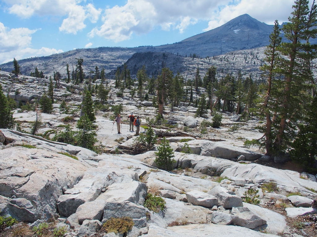
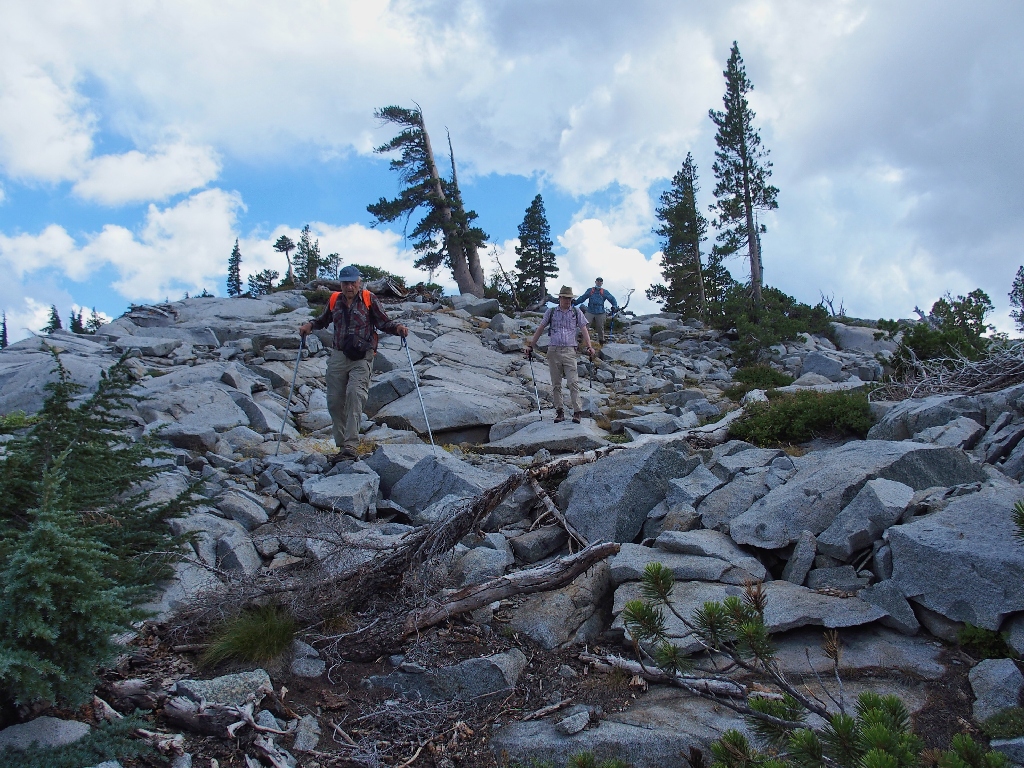
At the ridge-top, the trail roughness dissipates; now we can enjoy the walking more.
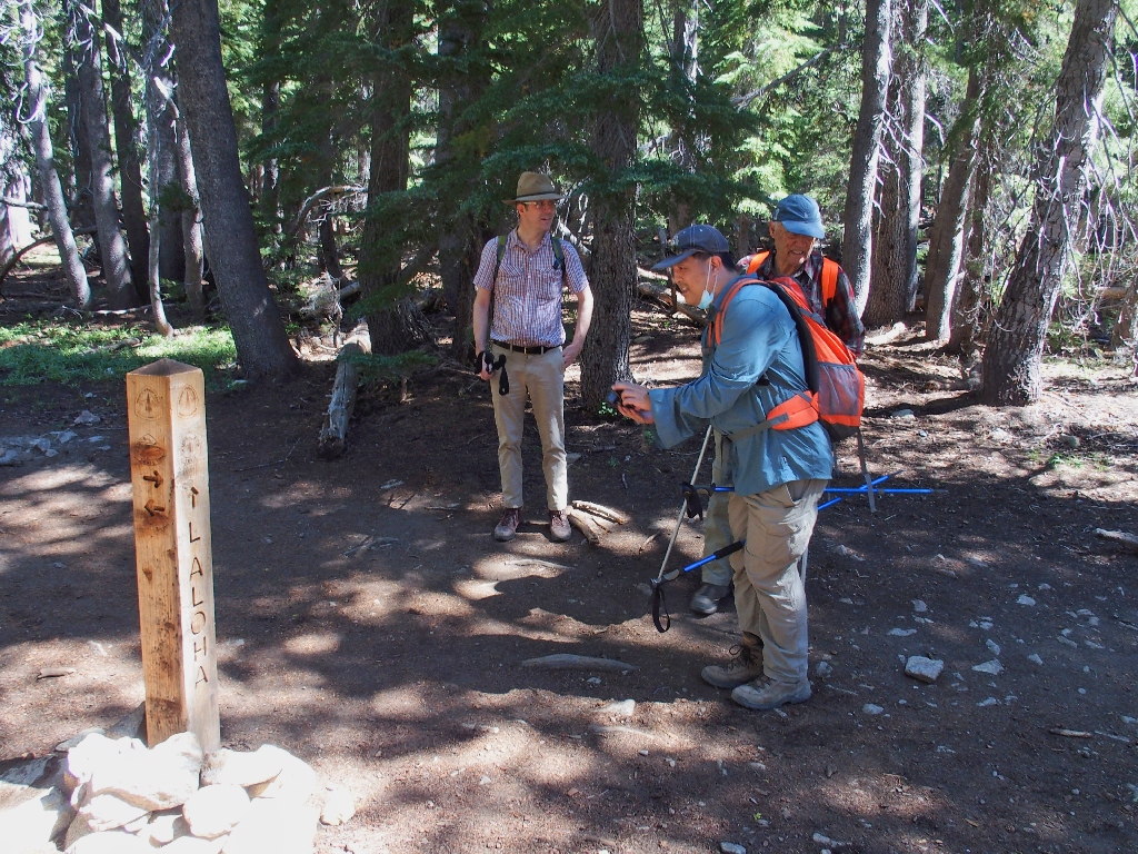
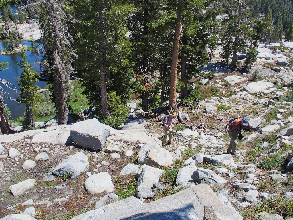
The loop venture begins for Fintan, Allen, and Walter
We depart the PCT here, turning left onto a lesser-used route.
Into Haypress Meadow, a relative garden-spot
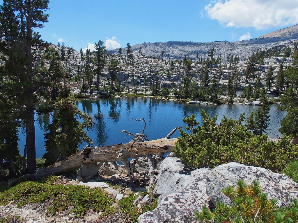
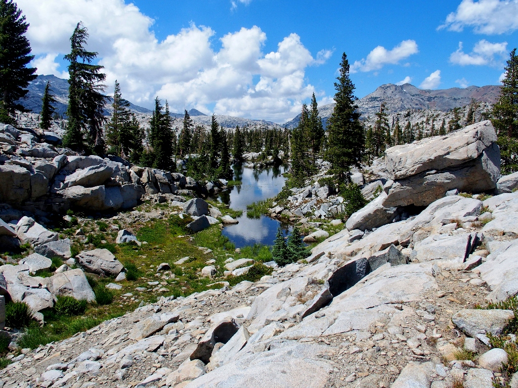
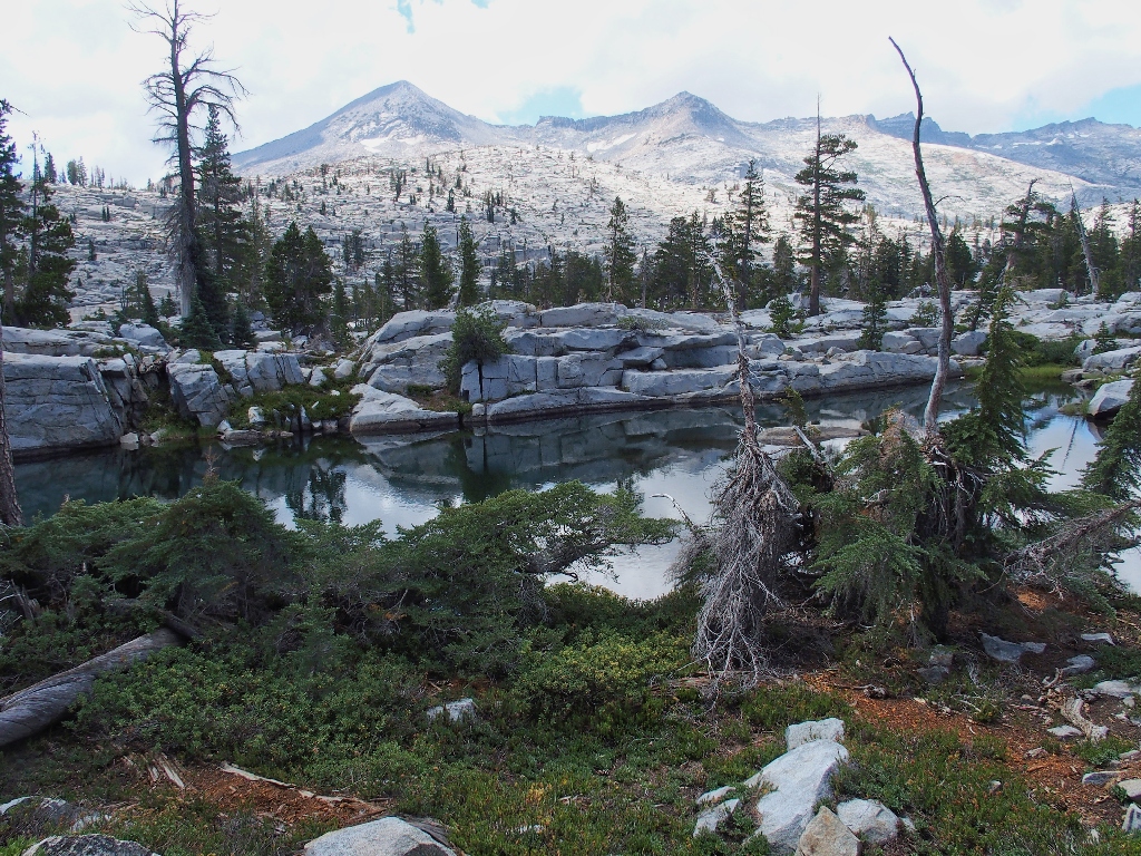
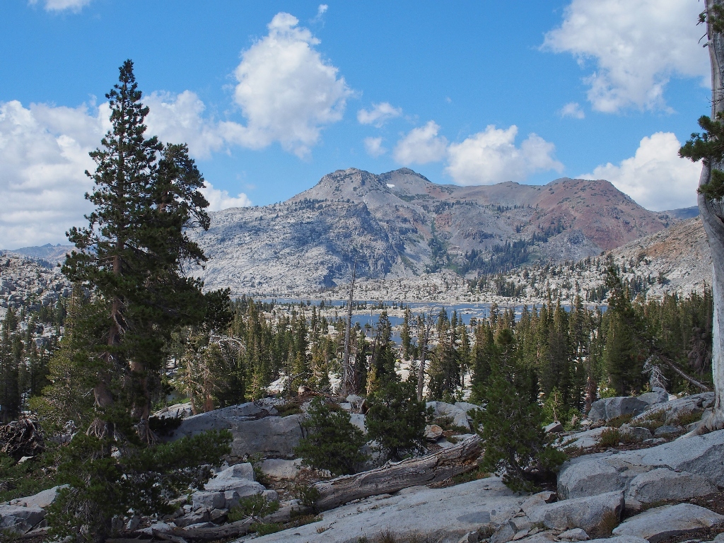
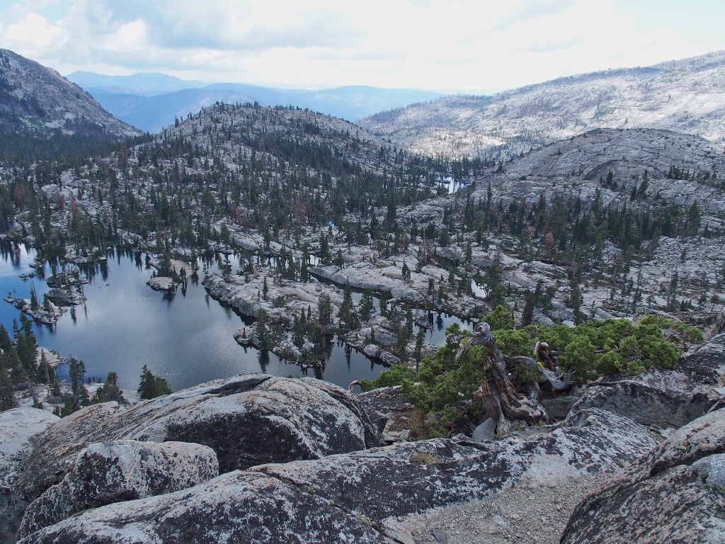
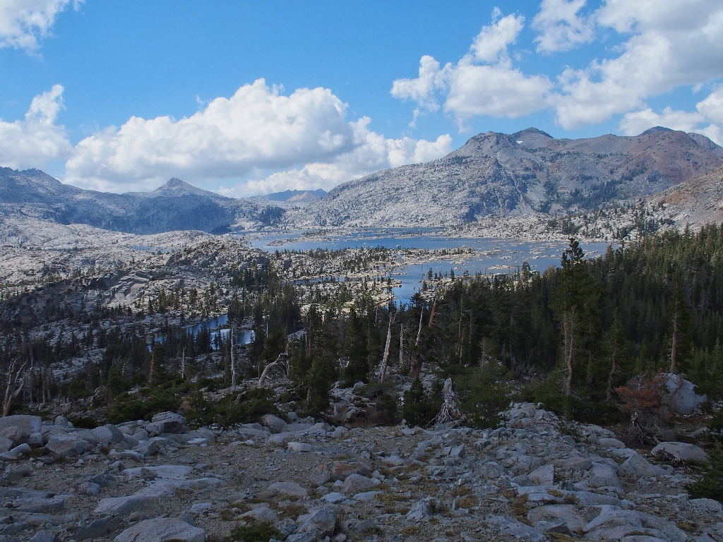
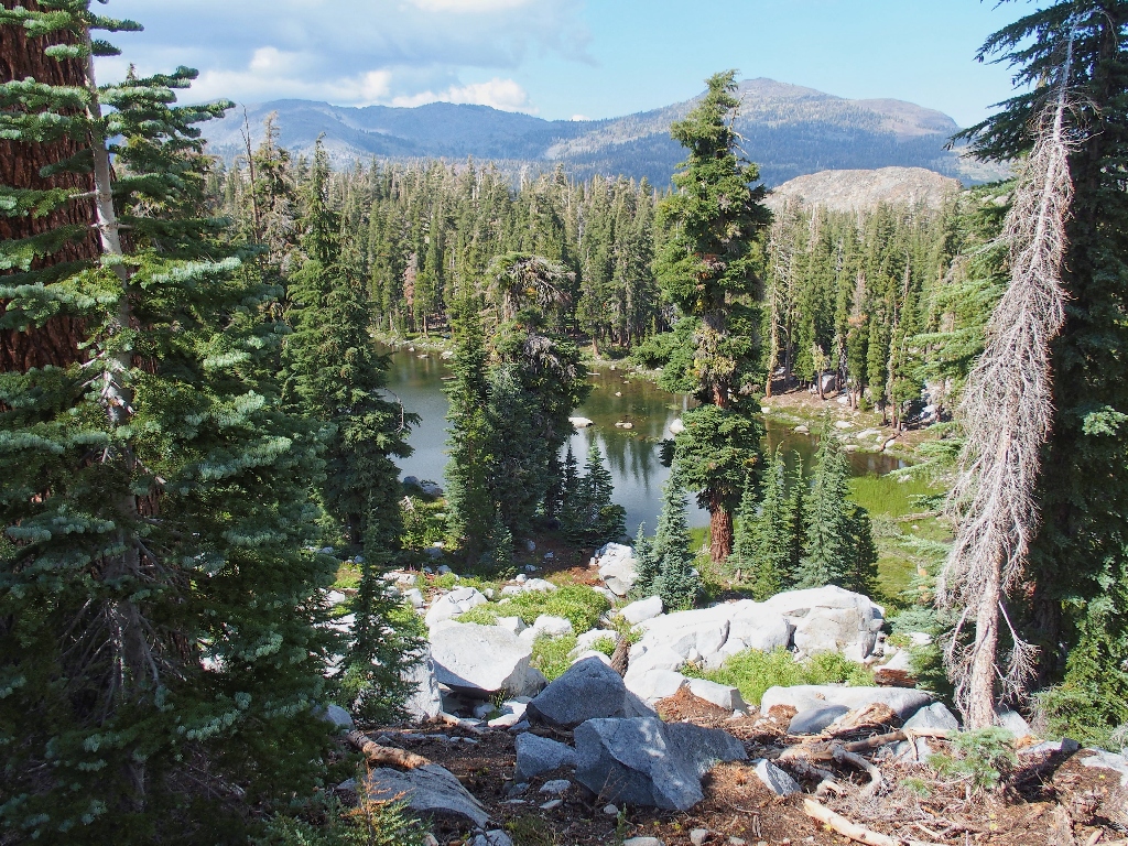
After yet another hundred feet or so of climbing, we get a first peek into Desolation Valley proper.
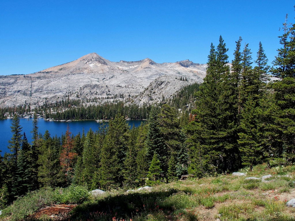
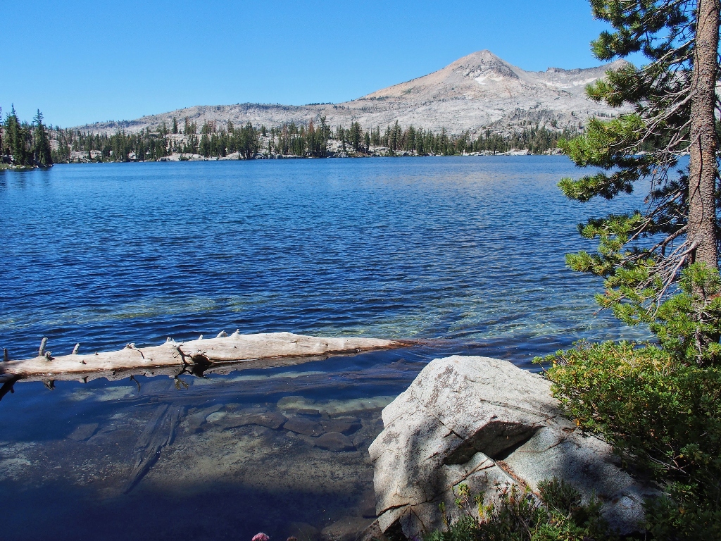
Lake of the Woods and Pyramid Peak, 9985'
Allen is somewhat obsessed with Pyramid Peak, the highest in Desolation; for he
really wants to climb it. I fear, however, that my second and final journey
up there in 2015, on the steepest trail I ever saw, will be my last. The views from
the summit are to die for, though.
The 300-foot descent to Lake of the Woods is laced with flowers
Presently, I am treated to my favorite photo-op of the day:
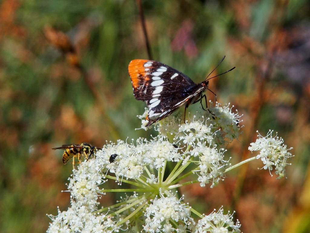
The Lorquin's Admiral is interrupted by a wasp
What a cute pose
A section of 'red' trail
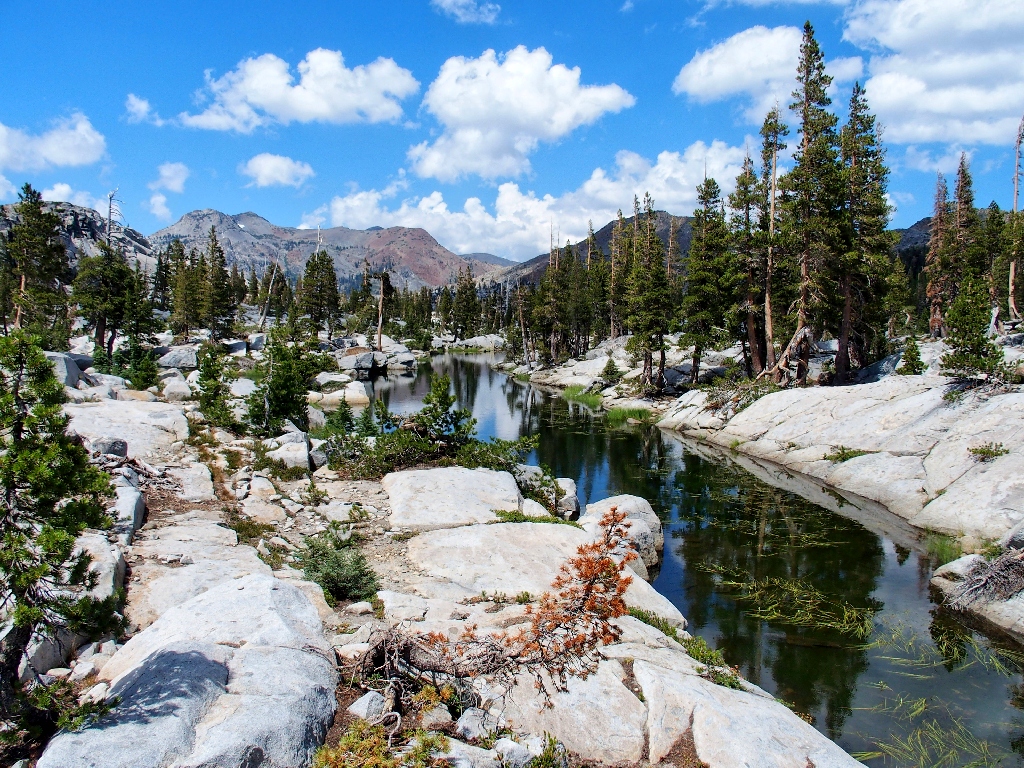
Traversing the eastern side of Lake of the Woods
Butterweed
I have promised the guys a visit to a centrally located high-point for some good
views — namely, the imposing-looking granite dome across the
lake. I hope that it is as easy to climb as the views on Google Earth suggest.
Over there is the rock we're scheduled to conquer later {Walter}
This is where the real adventure begins, as we abandon the established trails and head off 'where not so many men have gone before'.
The first objective is nearby Frata Lake
Now we need to scramble over a 200-foot hill. Because it has been nine years
since my last visit, choosing the best route is a new adventure. Without the
prior experience here and the help of my trusty Garmin Fortrex-401, I would be somewhat
nervous about leading this charge with a group of virtual strangers. As it is,
I figure that at the worst, I might opt for a less-than-best route or two,
which is perfectly normal.
The real scrambling begins
The others follow trustingly
This is exciting because, unbeknownst to my companions, we have entered what I call
the "Pyramid Creek Channel" — a series of lakes fed by Desolation Valley's
outlet stream. Pyramid Creek drains the entire southern quarter of this wilderness
down over Horsetail Falls and into the American River.
On the drive up here today, I observed that that beloved cascade is alive and well; so I know that this special place will justify our coming over this way, even in this exceptionally dry season.
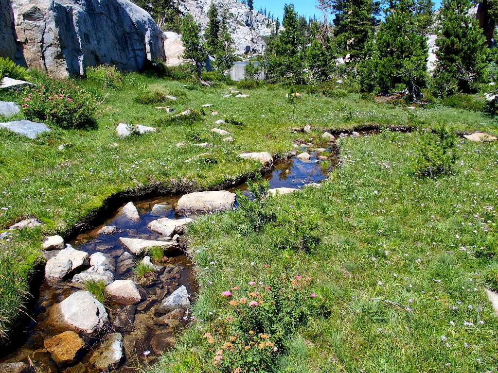
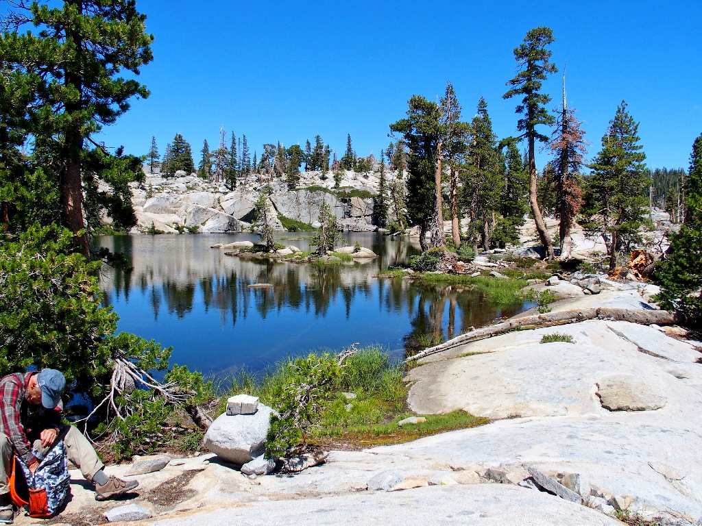
A delightful spot
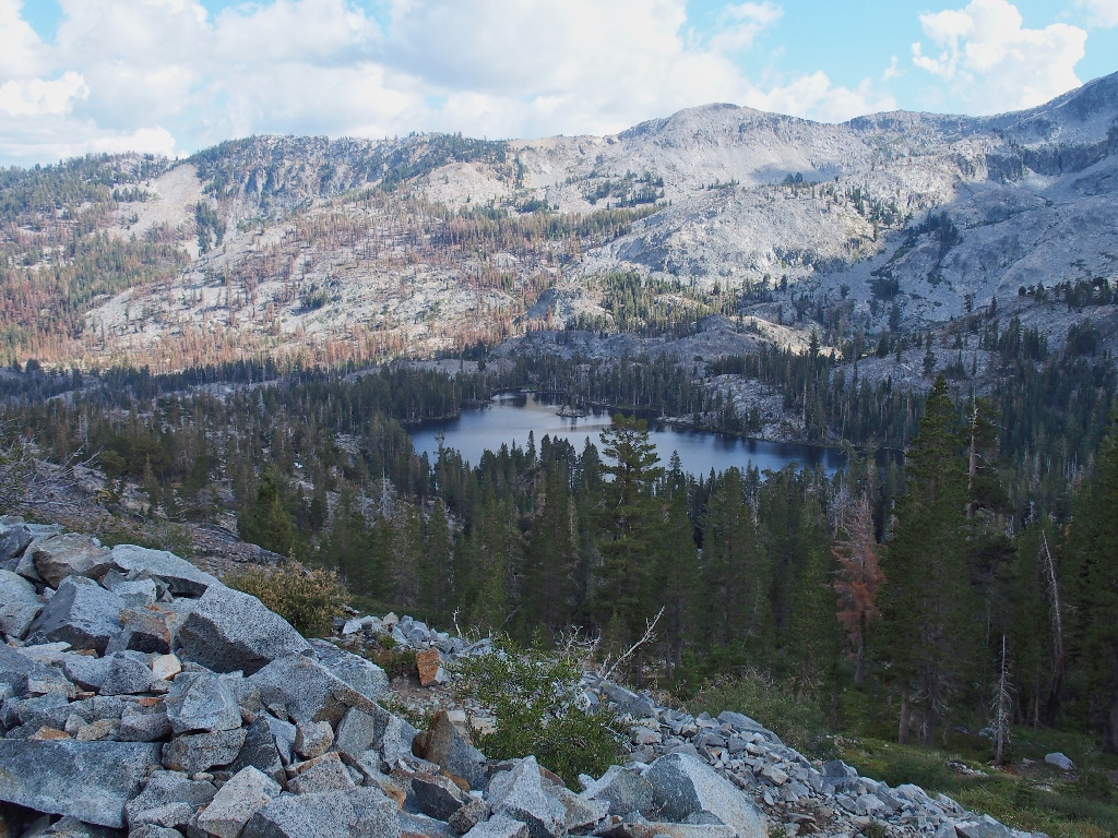
Peering at Desolation Lake
I went swimming here back in the early 90's, with a group of co-workers; we had come up here from Twin Bridges, past Horsetail Falls, and were quite ready for a break.
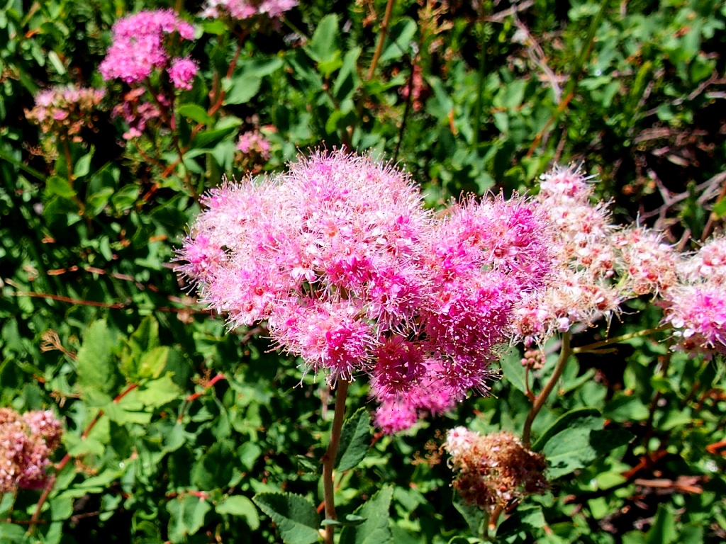
Rose Spirea -aka- Meadowsweet
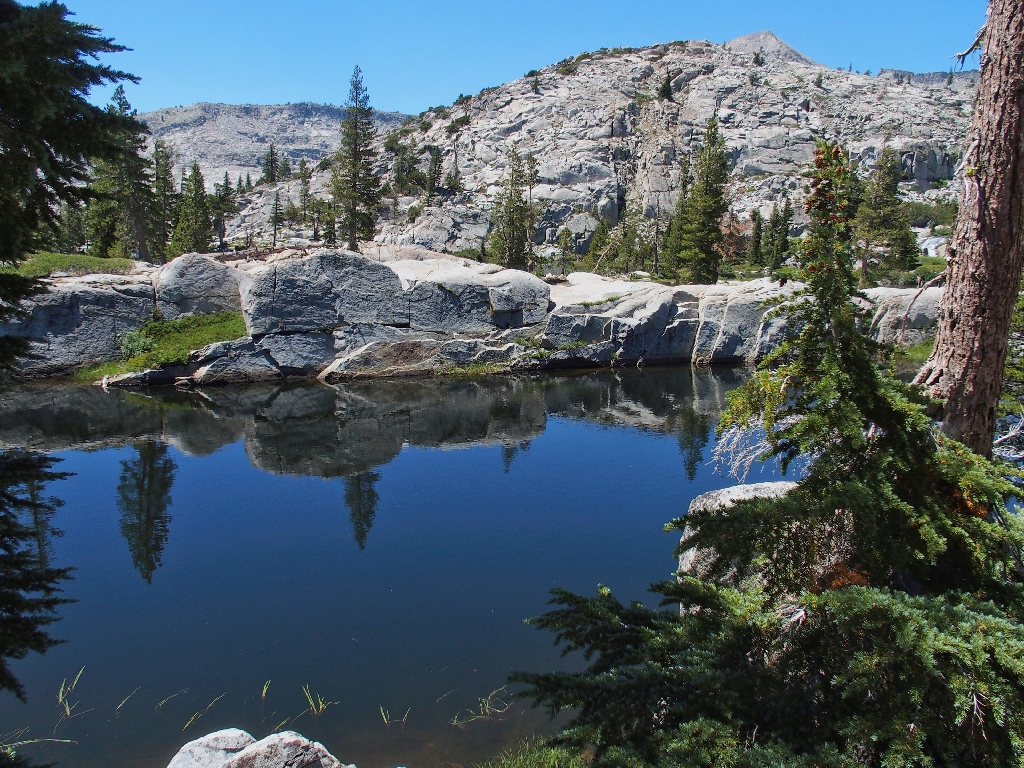
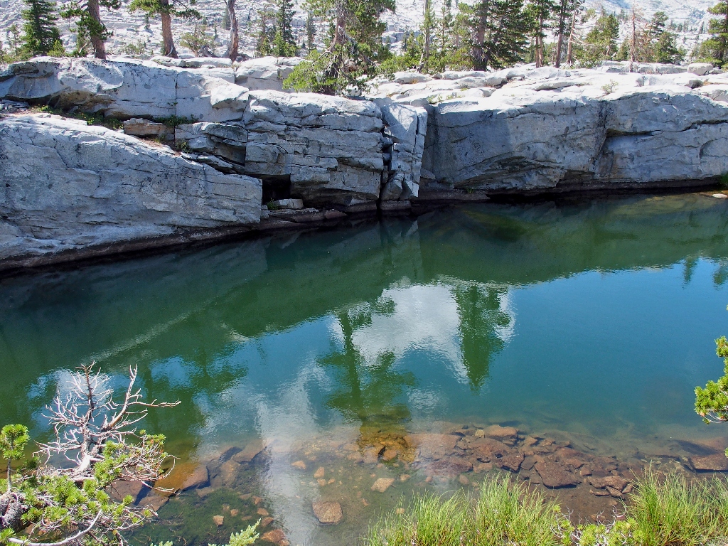
Small portions are all that we ever are able to see of this lake, due to its convoluted shoreline
Ever since we scaled the ridge above Frata Lake, the sound of a significant waterfall has pervaded the environment.
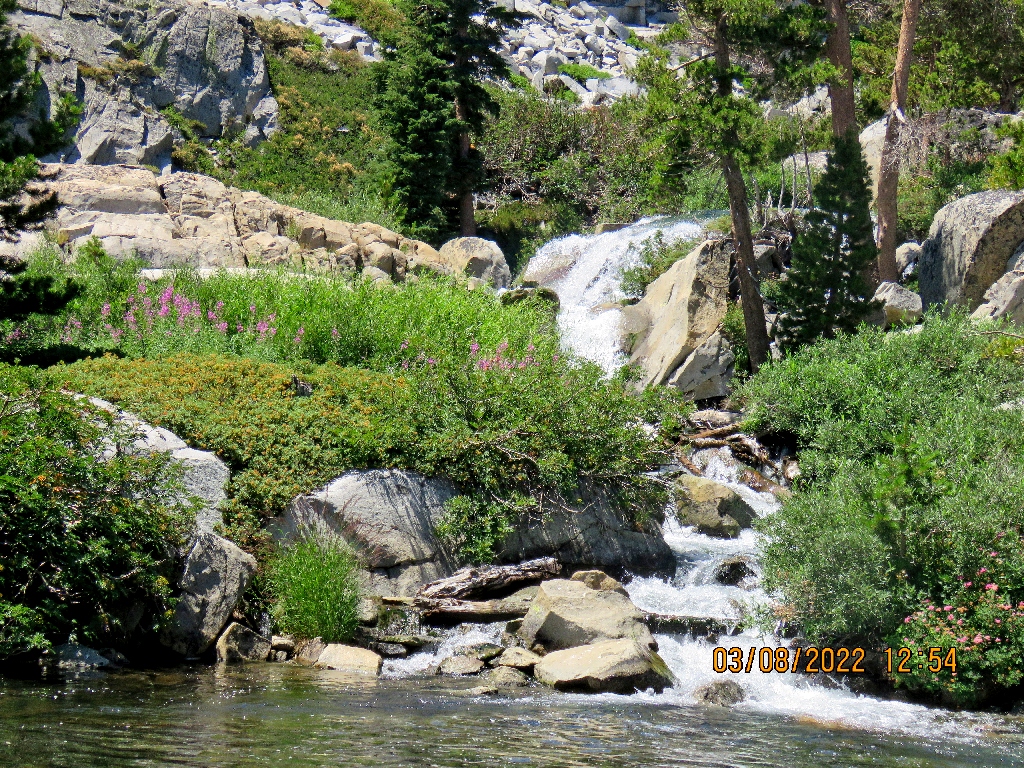
There it is, dropping right into the lake {Walter}
I hope that next time Walter will shut of his unsightly image time-stamp, especially when it is three days off.
Desolation Lake, looking south {Walter}
Here, I could have instructed the others to prepare themselves for an enhanced level of scenic pleasure, but decide to let the magic of the creek speak for itself.
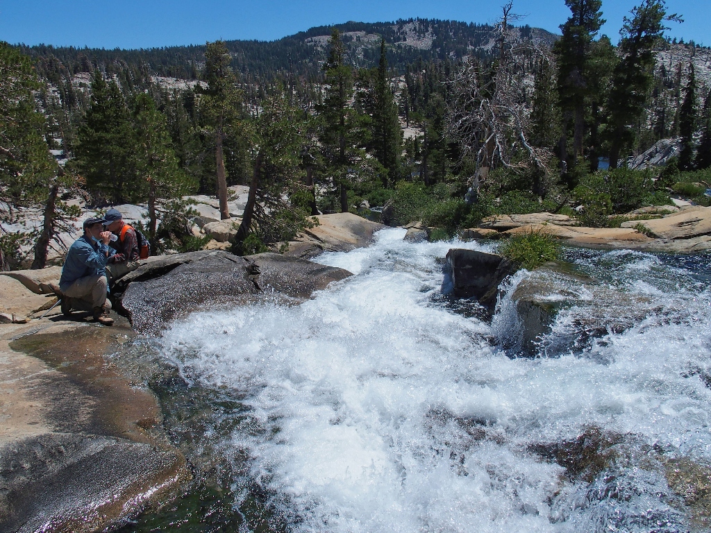
Ted enjoys the falls {Walter}
Is this why they call it "Desolation" Valley?
I think not
This is why I go hiking
Departing a wonderful spot
No one is standing atop Pyramid Peak at the moment
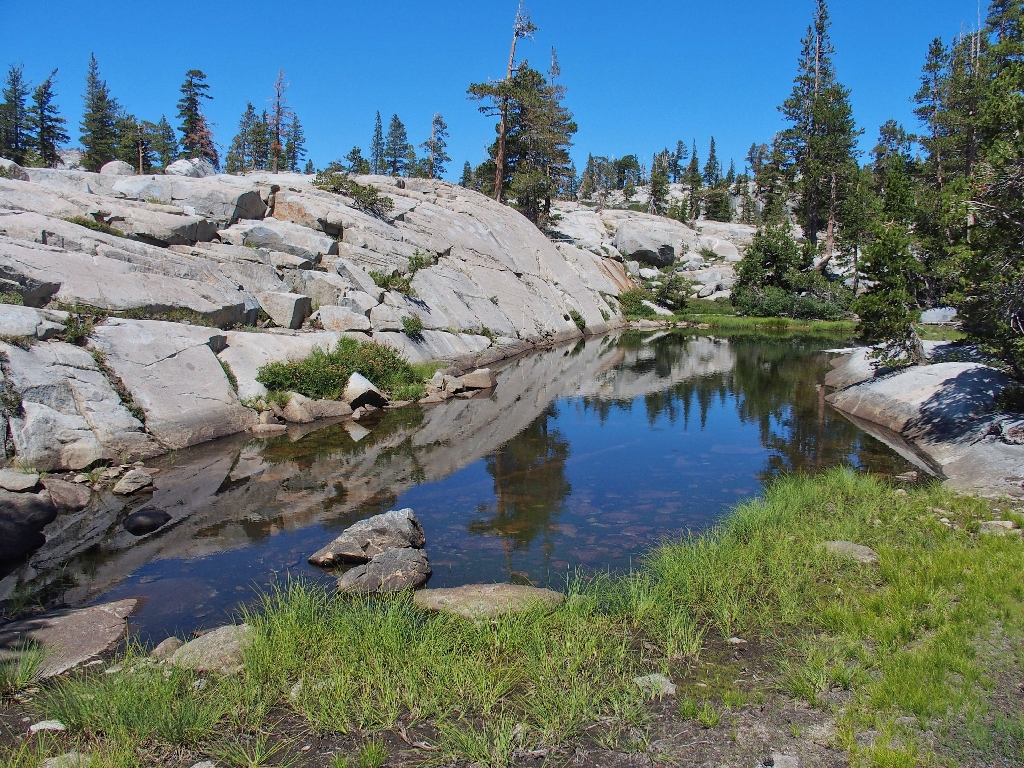
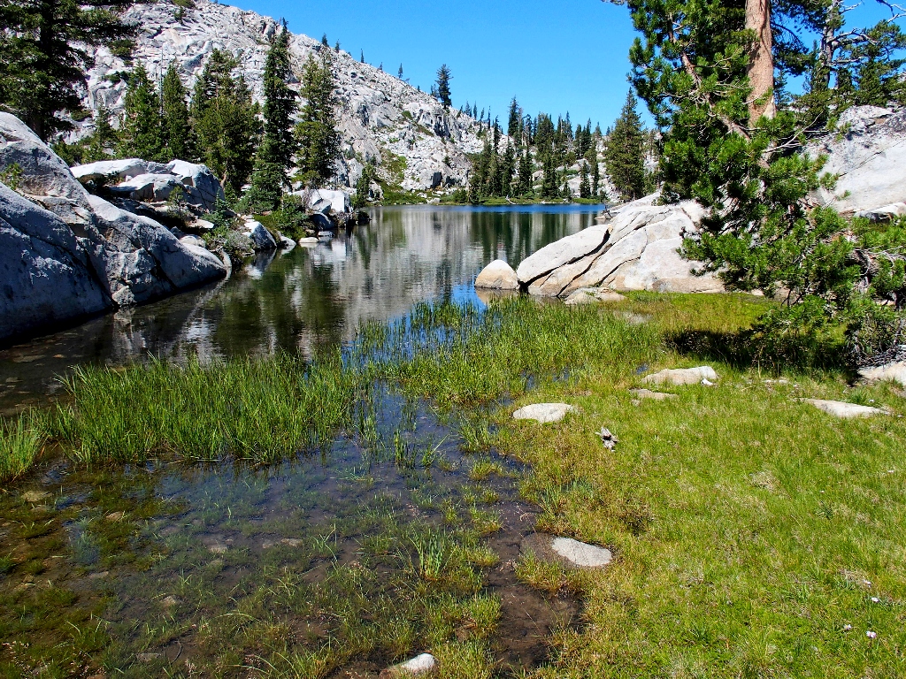
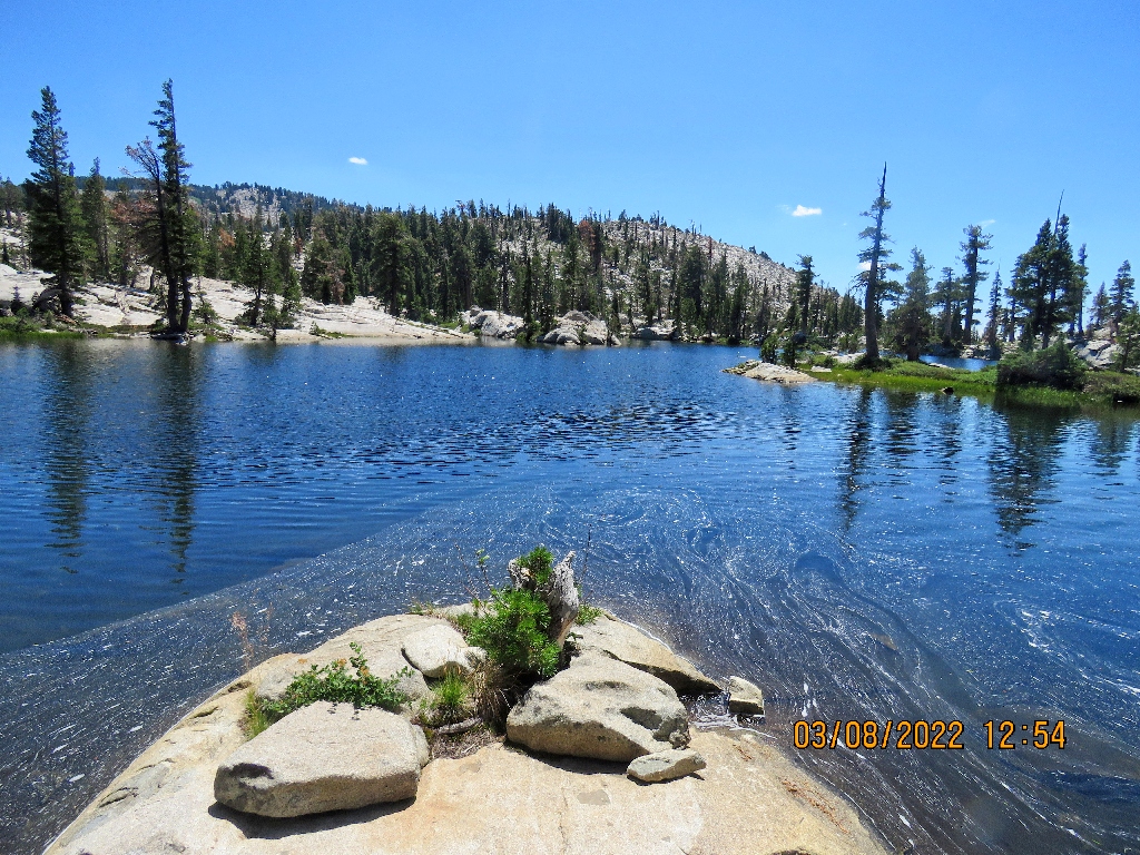
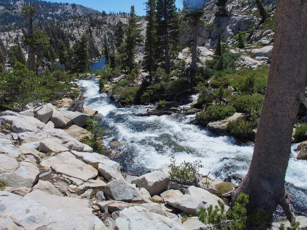
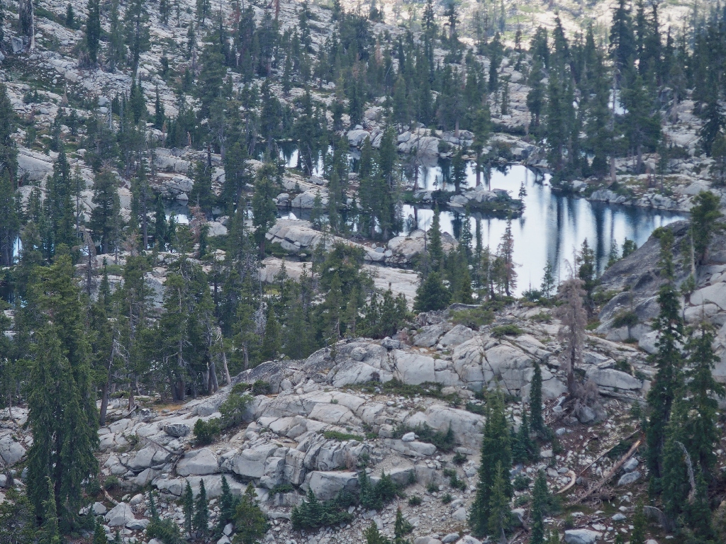
Just a few hundred yards away is the next lake in the chain. It has no mapped name, but I spotted an appropriate one in an old hiking guide:
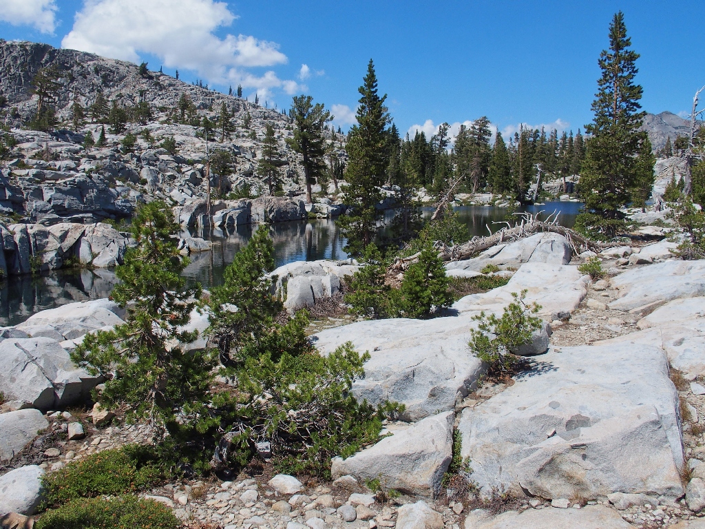
Chain Lake
This beautiful place deserves a real name
Perhaps this lake actually tends to disappear in times of low streamflow, there being little to hold the water in place. That would explain its 'lesser' importance.
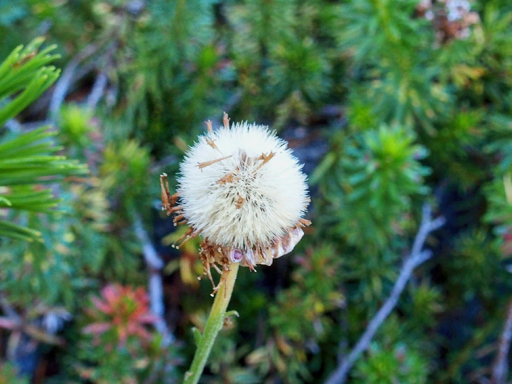
The Red Mountain Heather are all but done for the season
An island with a pool! {Walter}
Farewell to Chain Lake
It doesn't look as if there is a reasonable way to remain beside the creek from here, so we opt to head up the green slot over to the right.
Starting up the side canyon
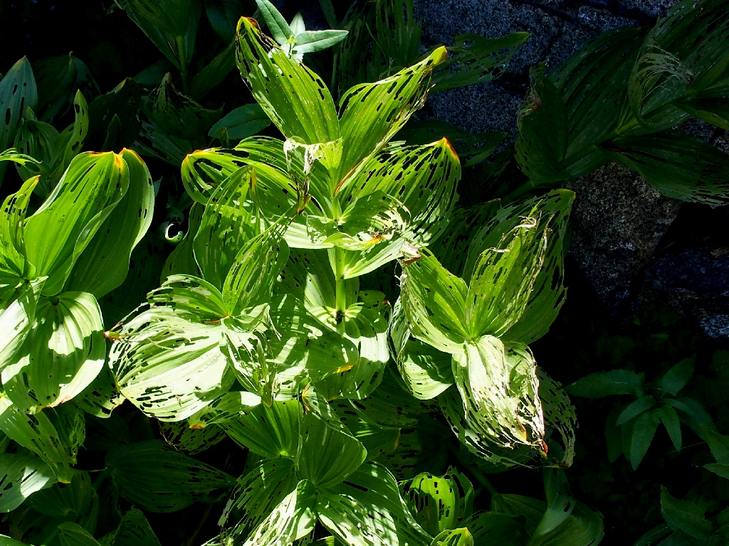
Allen and the Fringed False Hellebore
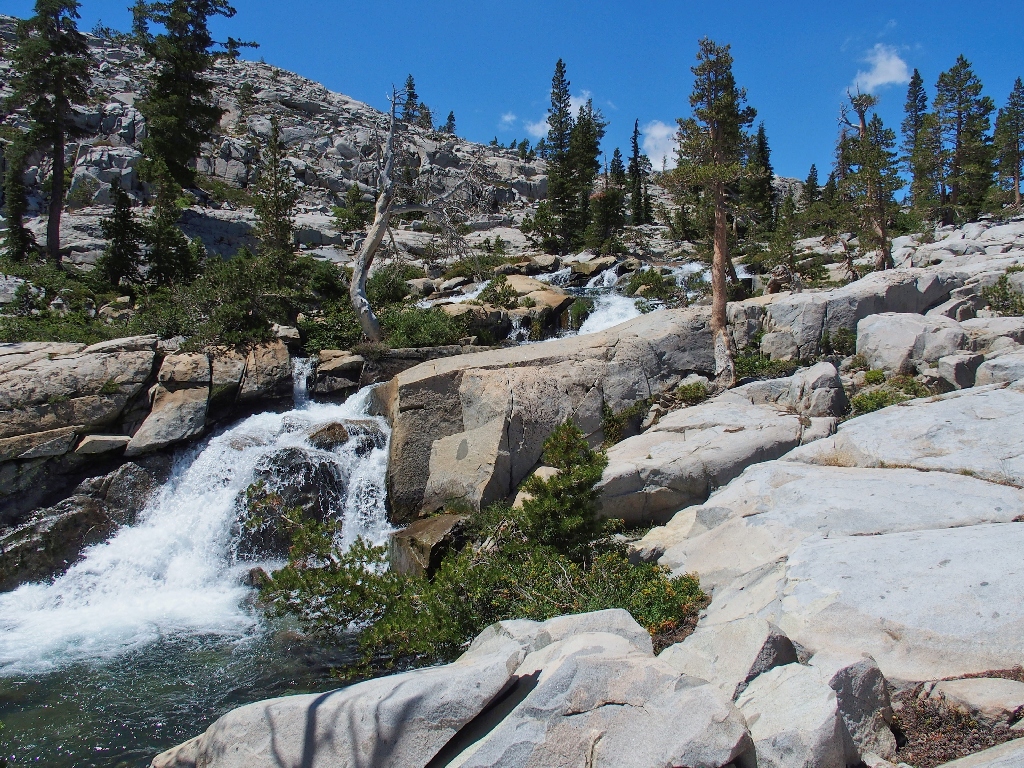
This slot proves to be exactly what was wanted, because soon we pass through a
well-remembered section.
There even is a semblance of trail through here
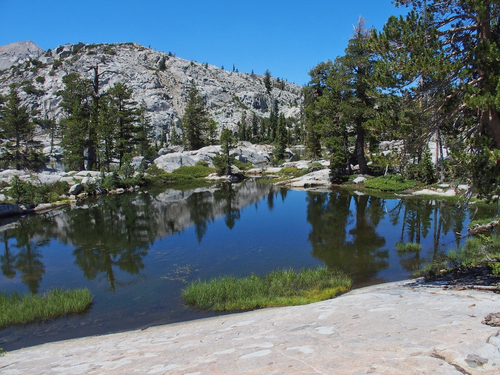
Approaching the next attraction
Not Channel Lake
In previous journals I have mid-identified this as Channel Lake; but a look at our
GPS track and subsequent viewing on Google Earth have shown that this is just another
no-name pond, and that I might never actually have stood on the shore of
Channel Lake. It really doesn't matter, though; for I like this one a lot.
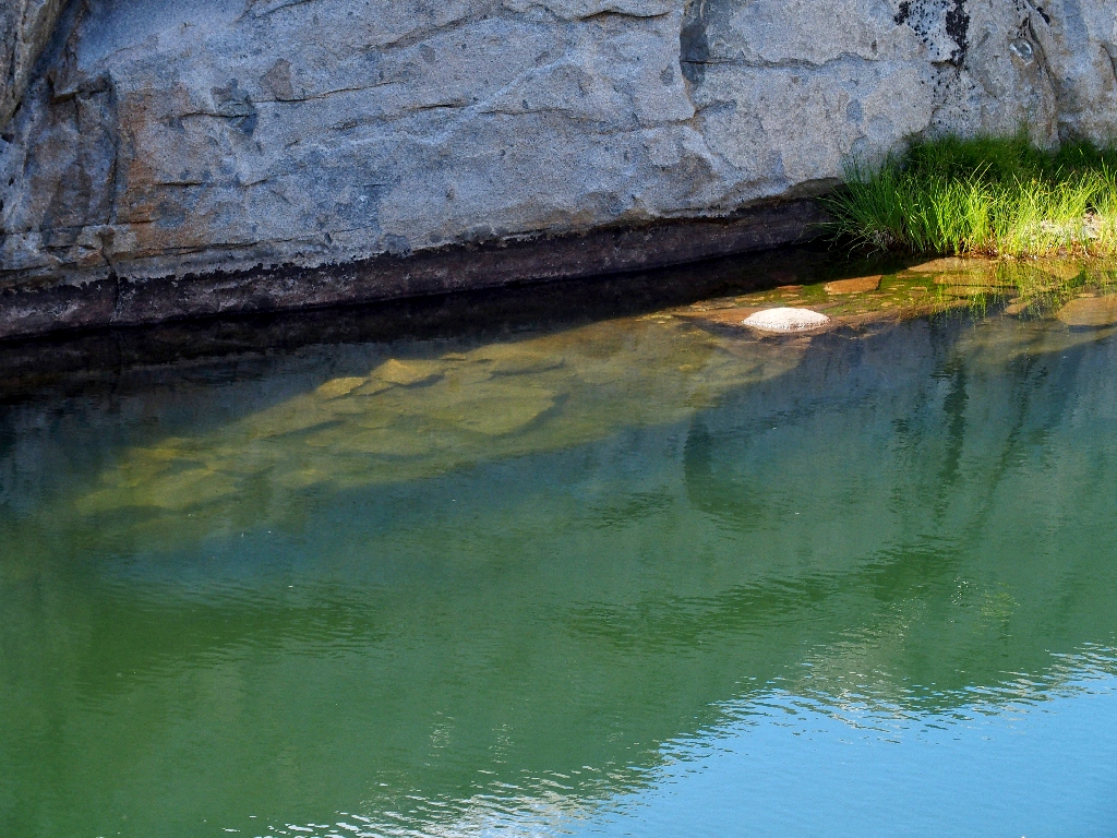
I love it when the water contacts the bare rock
In past times, I have continued north, past American Lake to the Lake Aloha Dam;
but that option entails some extra, relatively unexciting mileage.
Also, going that way would interfere with today's agenda; so today we will strike off
to the east into what that old guidebook says is called the Japanese Gardens by the local
cabin-owners. I never have gone this way previously.
Just a pond
Farewell to Not-Channel Lake
We don't have to wait long to be rewarded, for there is standing water all over the place. One could choose to travel any which direction, but I am concentrating on the best way to navigate over to our special hilltop.
Just a random spectacular spot in the Japanese Gardens
This pond is really beautiful, but it's in the way. Going around it to the left might not even be possible, and in any case we are much closer to the south end; so we head in that direction.
Nifty dikes
They are catching up
At this point, Walter does something outlandish; he plucks out some cans of soda
from his pack! Then he offers me a Mountain Dew, which I gladly accept.
Even though I have all but sworn off of sugary drinks, this is not the time for
such formality; I am entitled to a treat once in a while, even if it isn't cold.
Then I utilize this opportunity to share some computer-related experiences with
Fintan, who might or might not be particularly interested.
Now, the crux of the mission is at hand. Just ahead is the angled gradient leading
to the top of the rock. Because of our detour around the water, we are approaching
the hill in the middle of the slope; but so be it. After some up-and-down
scrambling, we are on the side of the dome itself.
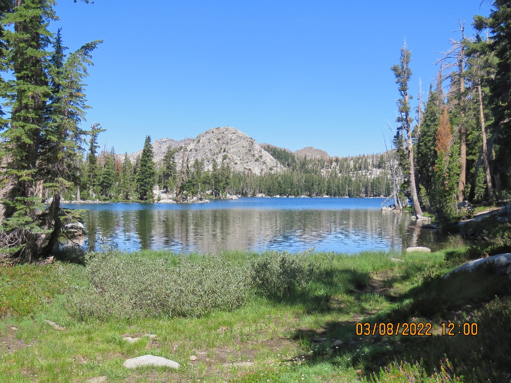
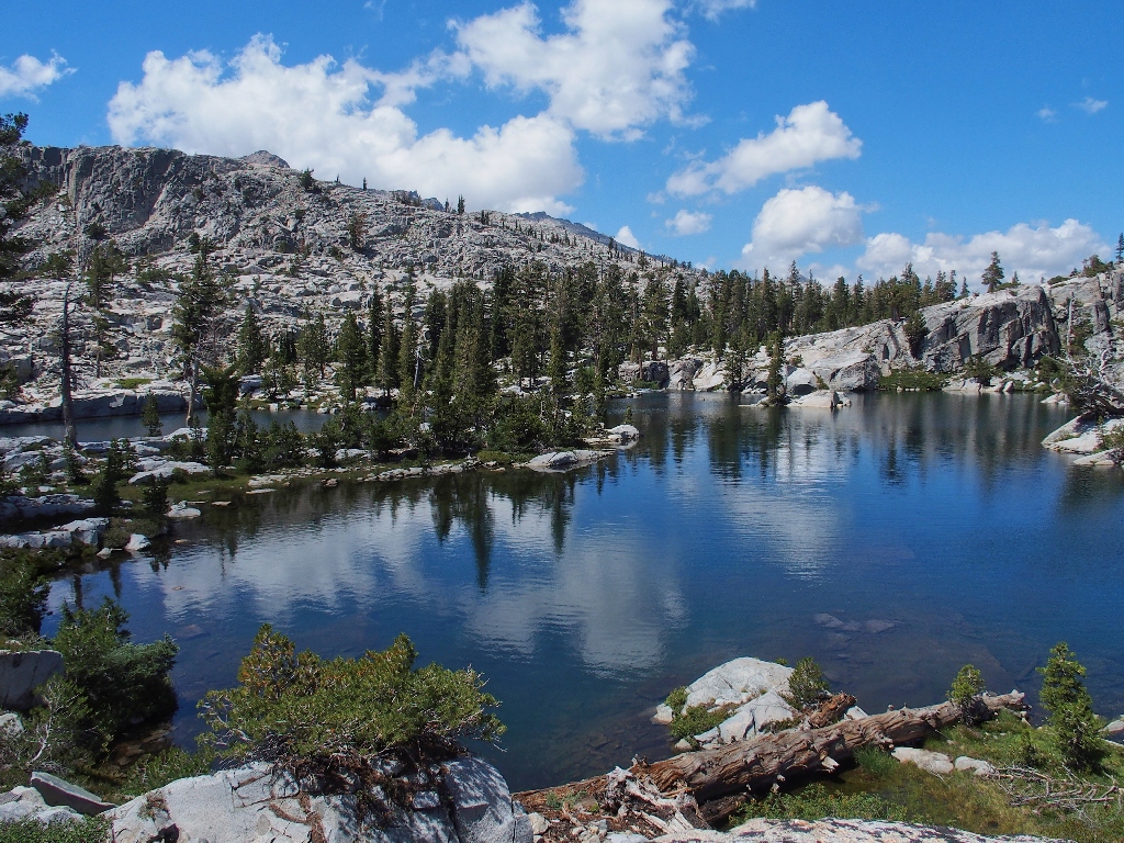
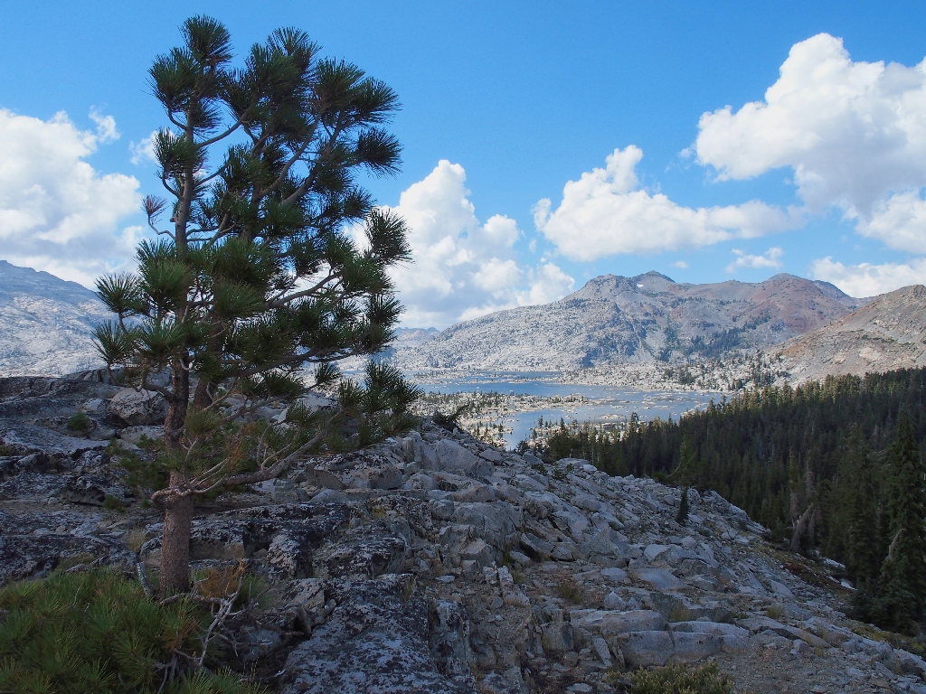
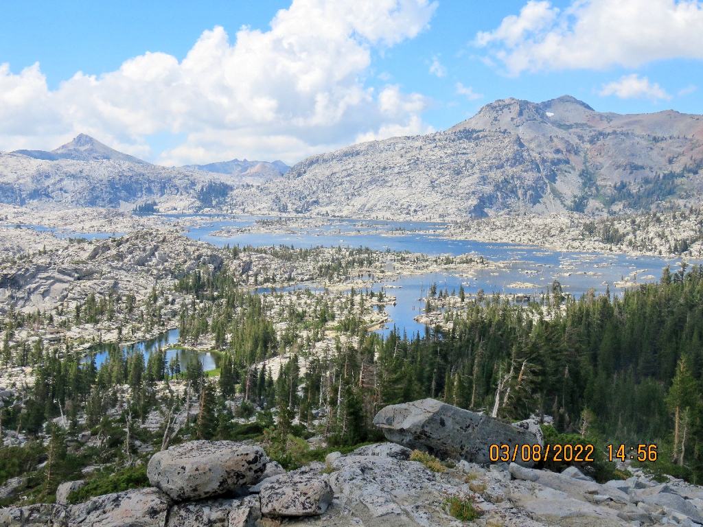
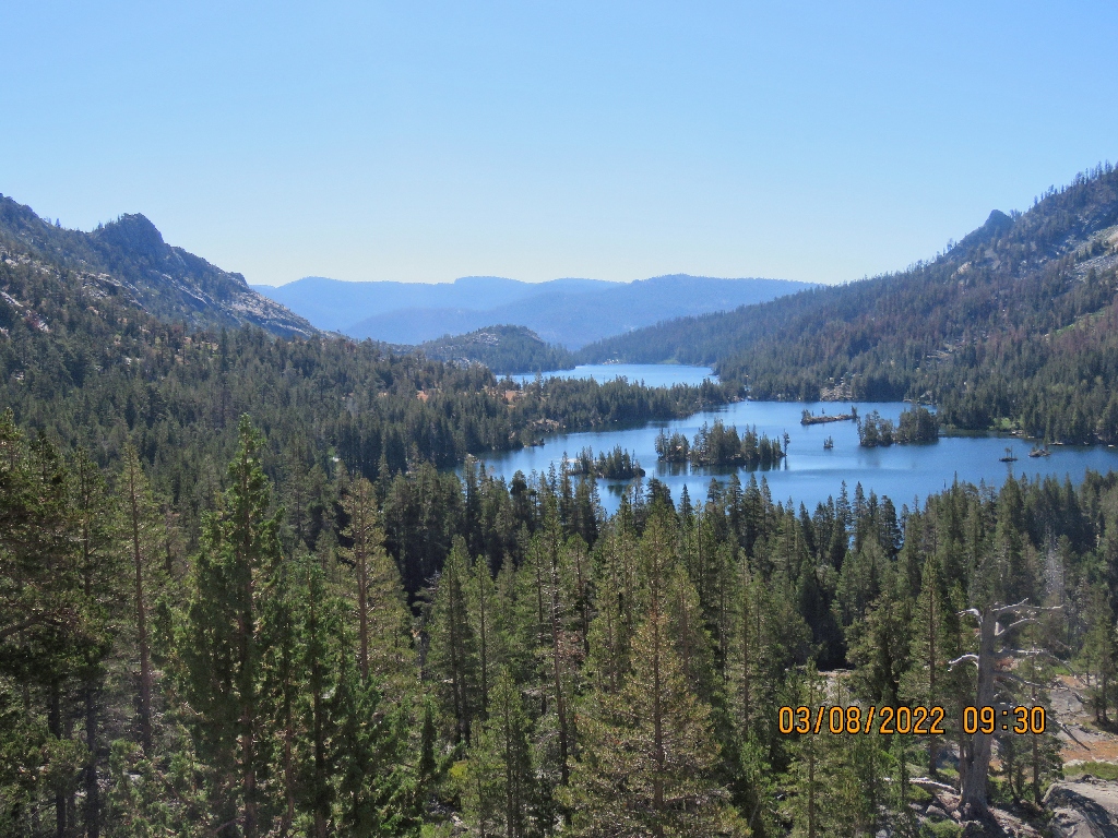
First view of Lake Aloha
C'mon, guys; this thing isn't that high
And it does prove to be a relative cakewalk to the summit, including a lot of slabs and a bit of talus. At the top are the anticipated views.
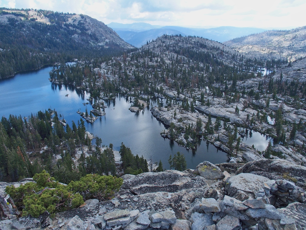
Lake of the Woods below, looking south
Earlier, we traversed the near side of that hill.
Desolation Lake in the distance
Lake Aloha to the north, and the single tree we had noticed earlier
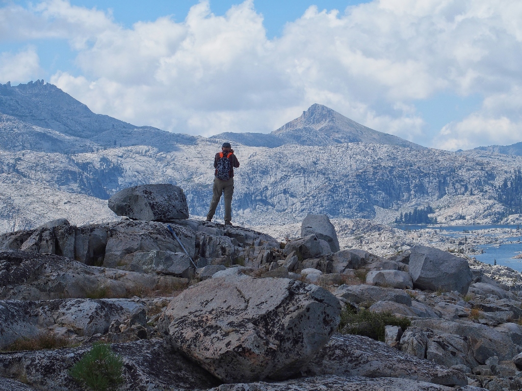
Carmine enjoys the summit
Walter enjoys Little Pyramid Peak
A better view of Desolation Valley {Walter}
We were over in the middle of that earlier
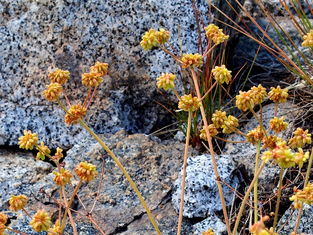
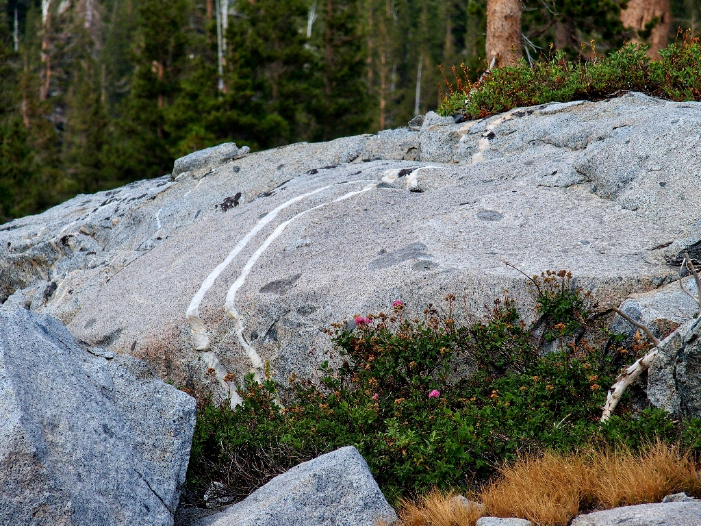
Sulfur Buckwheat
Cushion Buckwheat
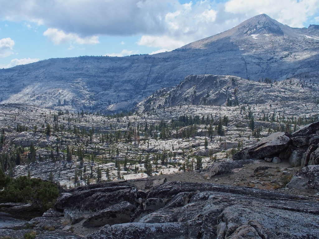
Jacks Peak and Dicks Peak over to the right
About now, someone bothers to look at a clock, observing that it already is
3:15 p.m. Curses! We still have a long way to go in less than
two hours, and I don't know whether we can make it. I had been asked about time,
but it never occurred to me that we would run short of it.
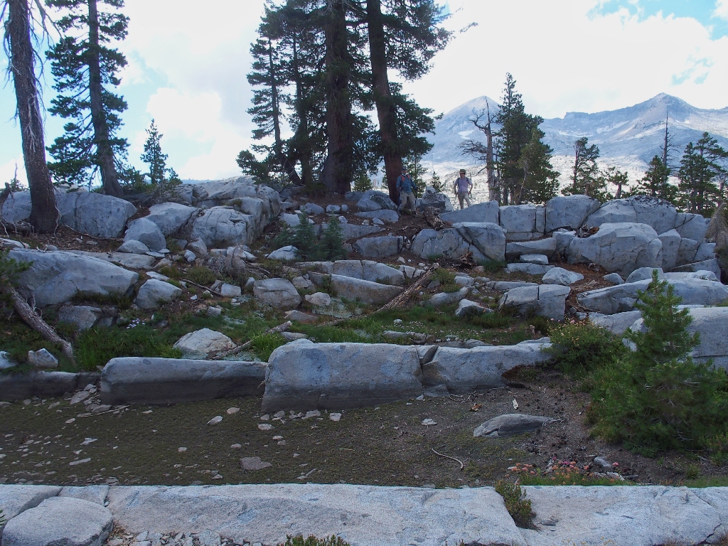
Descending the 'dome', even if it really isn't one
At the bottom of the slope we pick up a real trail, just where the GPS says it should be. There is a maze of paths in here, but I head for the next waypoint, and that does the trick. Soon we encounter a handy signpost pointing to Echo Lake, and off we go. What we did not want was to veer southward back to Lake of the Woods, which would have cost us extra mileage.
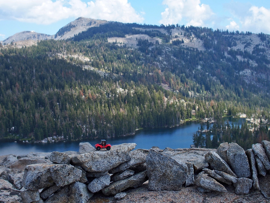
Keiths Dome is beckoning
Allen had mentioned a detour over that way, but it will have to keep for
another day. Besides, we will have walked plenty far enough as it is.
Lake Margery below
Presently, our gang 'closes the loop' and meets up again with the Pacific Crest
Trail. It is at about this time that Walter hands me yet another soft
drink — a Dr. Pepper this time, which I imbibe while walking on
the trail. That's a 'first'.
Approaching the rough stuff
I really would like to finish this outing with style, which means we must catch
the five-o'clock boat taxi in order to avoid a lot of extra trekking; but it is
clear now that at our present pace, we cannot make it down to the dock by the deadline.
Opting for something I never have done previously, and without even warning the others, I simply take off down the trail as fast as I am able to do so. At my age that isn't saying much; but judging from the numbers, with some luck I might actually be able to reach the telephone in time.
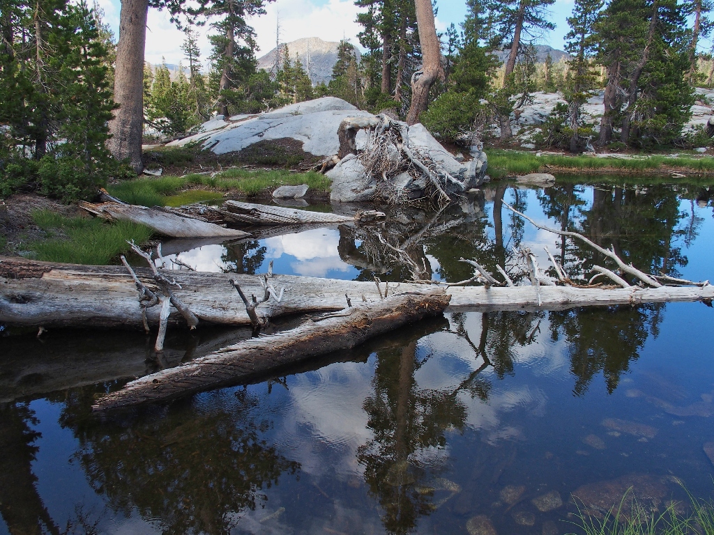
Tamarack Lake, my last photo of the hike
The Echo Lakes reappear. Is there time? {Walter}
Putting my camera away for good, I scurry as best I can down the two miles of roughest
trail in the northern Sierra, ever-mindful that a fall could be catastrophic.
Amazingly enough, I make it to the boat dock with about five minutes to spare.
Using the phone, I summon a ride for the group.
Our taxi arrives within fifteen minutes. Two other hikers have appeared, but my guys are not yet in sight. The boat driver 'generously' offers to wait around "a few minutes" before departing for good. Before long, my erstwhile companions do arrive. It's a miracle! We have made it!
A greeting at the lower lake
Flagpole Peak from the boat
Once off the boat, it still is another half-mile walk back to the car; but that is just a formality.
Big Blue, my favorite lake, always is worth another photograph
At the cars, I am presented a nice loaf of homemade bread, and we all promise to
"do it again"; then we head toward home — about two hours for me, and
nearly twice that long for the others.
The end
§: Well, this was one for the record books. The planned loop was
completed, everyone loved the scenery, and everybody was happy at the end.
I cannot give it a top rating, however, because of the difficulty of the main trail and
the forced rush at the end. My need to hurry was somewhat stressful, and it cost
me a lot of planned photographs. Most amazing, however, was that I wasn't a bit
sore the next day; and I would have taken bets on that. I hadn't done any actual
running in decades.
In retrospect, I have trouble understanding how we actually ran out of time today. Years ago, I did that tour with my wife, the world's slowest hiker. A different trek included a lengthy loop down to Ropi Lake, yet we still made it back even after my companion damaged his ankle. It must have been all the lollygagging at the frequent rest stops, many of which could have been two minutes rather than ten.
Should you do this loop? Absolutely! the Desolation Valley environs are
uniquely mellow and good-feeling, and they should be on everyone's bucket
list. A two-day or three-day backpack would be best.
Cross-country exploration simply doesn't get much better than in Desolation Valley.
| Scenery |  |
| Difficulty | |
| Adventure |  |
| Flowers |  |