Tahoe National Forest
|
Blue Lake Trail Tahoe National Forest |
September 30, 2021
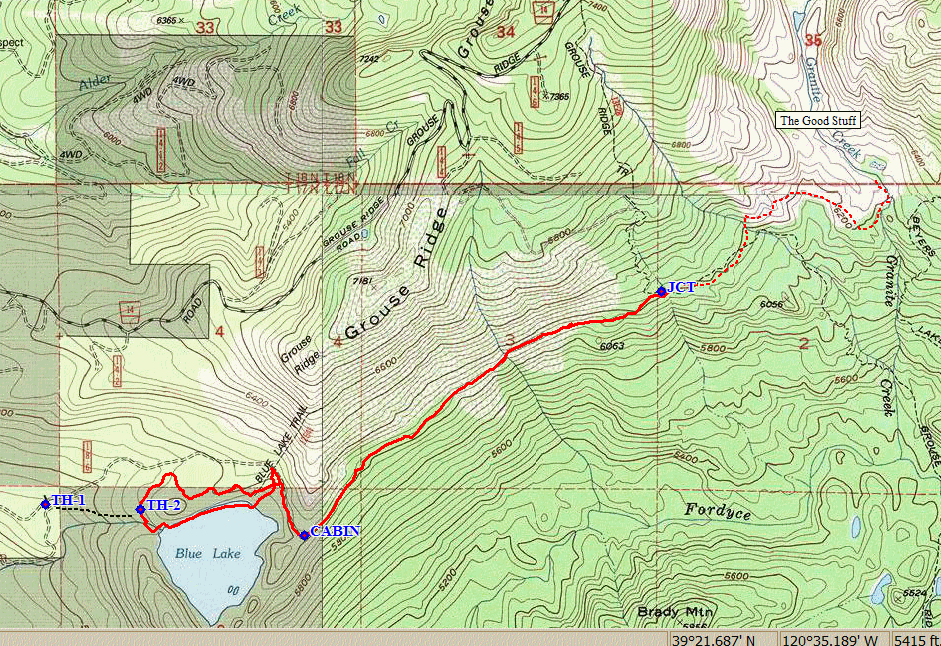
This is an adventure day, to a trail that is shown on the PG&E kiosk a couple of miles down the road at Fuller Lake, yet is not on my topo map. The idea is to amble over to the interesting Granite Creek drainage from Loney Lake and Grouse Ridge, but without incurring too much mileage.
Just a mile and a half up the dirt road, there is a wide spot marked on Google Earth
as the Blue Lake Trailhead. One other vehicle is here, but there is no semblance
of a signpost indicating a trail. Parking here, I begin walking up the road,
which appears to be perfectly driveable; so I get back into the car and drive another
semi-rough half-mile or so to a gate near the Blue Lake Dam.
There is one other vehicle here as well.

As before, there is no evidence of an actual trailhead
The arrow points toward the lake, so I'll go that way.

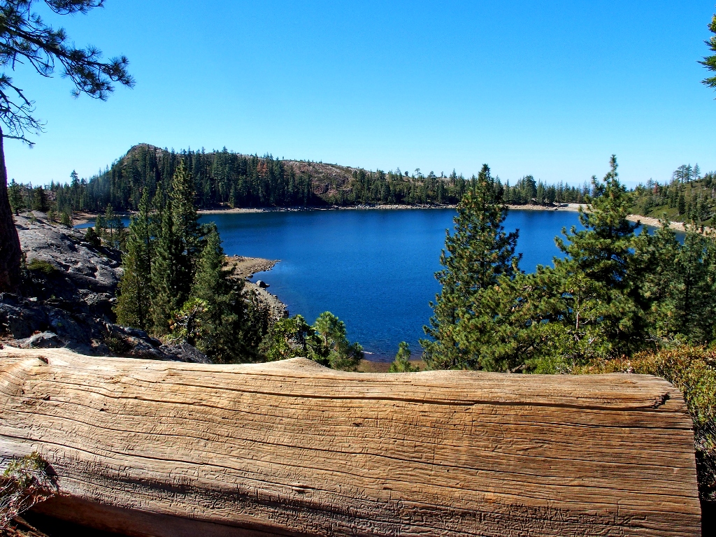
Blue Lake is, of course, not actually a lake anymore
Having still no guidance, I strike out to the left into the forest, knowing that there is another roadway nearby. That works, and soon I encounter a series of five campsites at the other end of the lake.
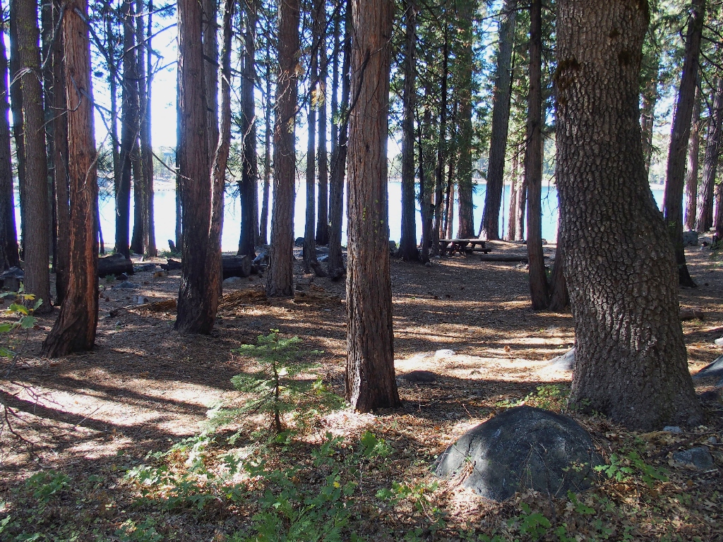
One site has a nice table...
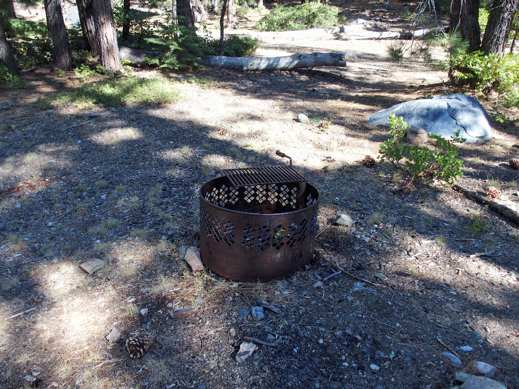
...The others feature only fire grates
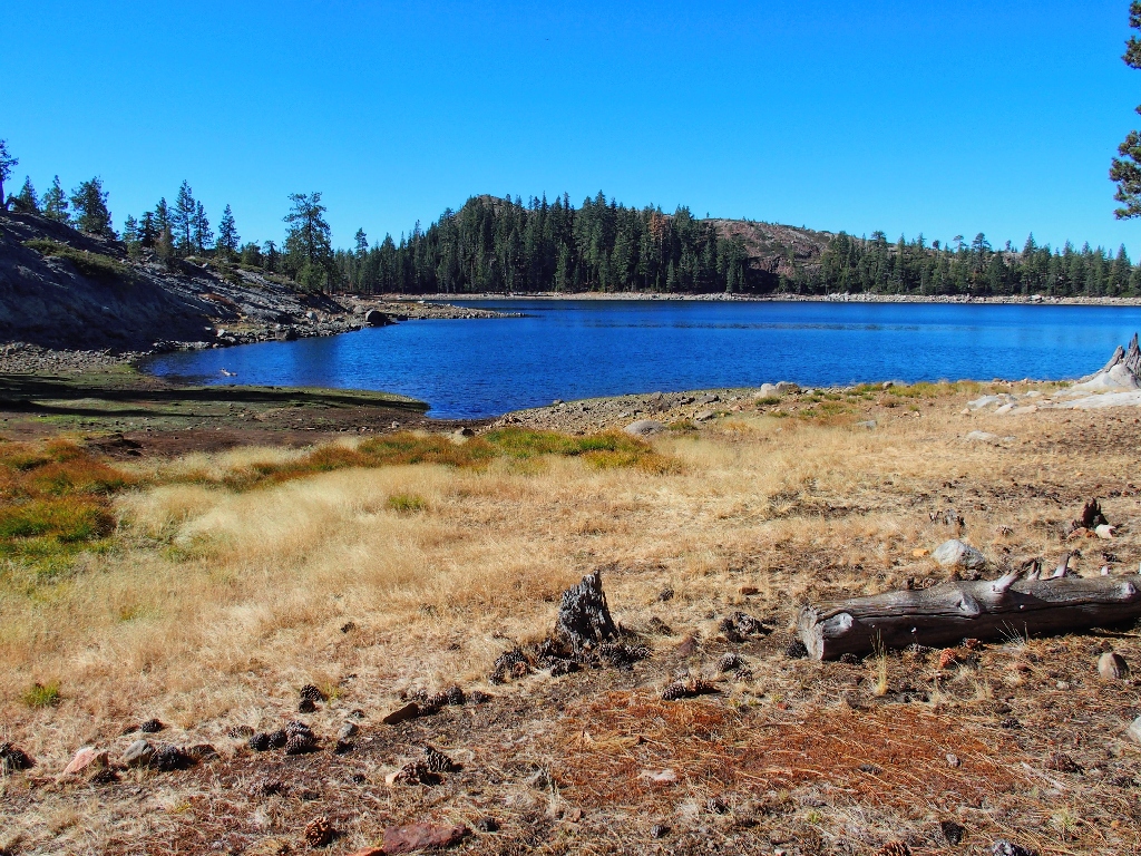
Across the lake is Zion Hill, from which a tunnel channels water southward to a hydroelectric power plant at Lake Spaulding.
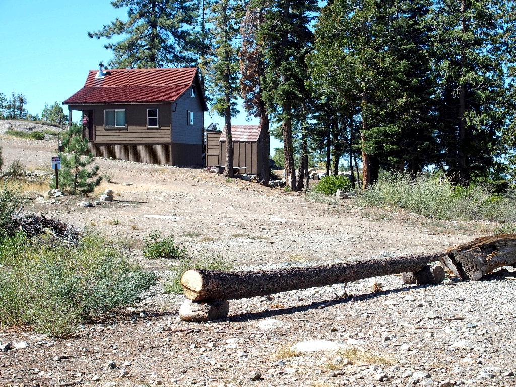
From here it's back into the forest and up to yet another roadway, to a privately owned cabin.
This road might be cut off by a locked gate
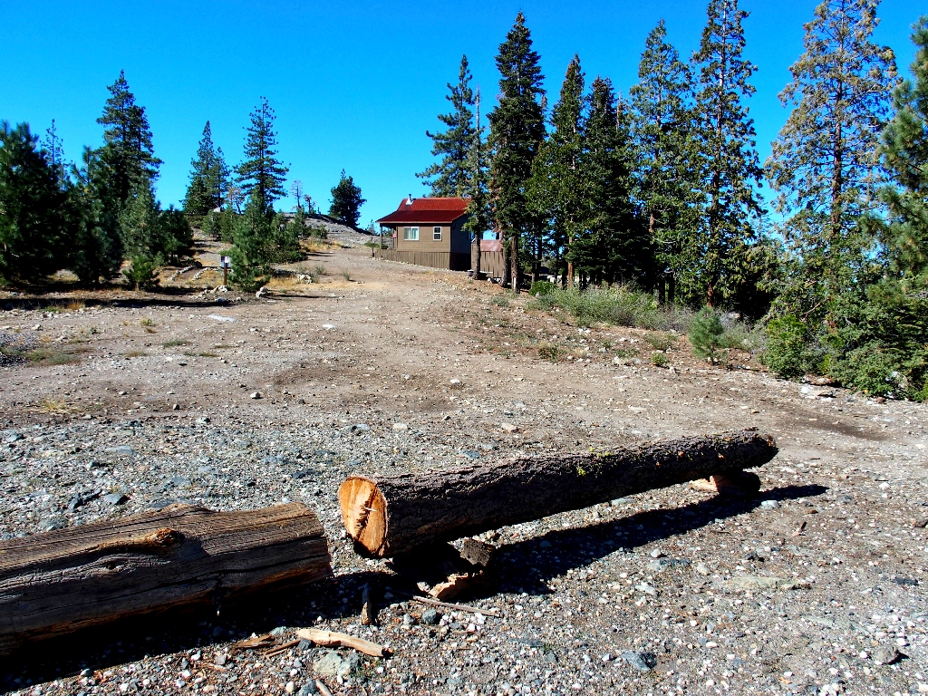
Nobody is home at the moment, it appears

At last — an actual trail marker!
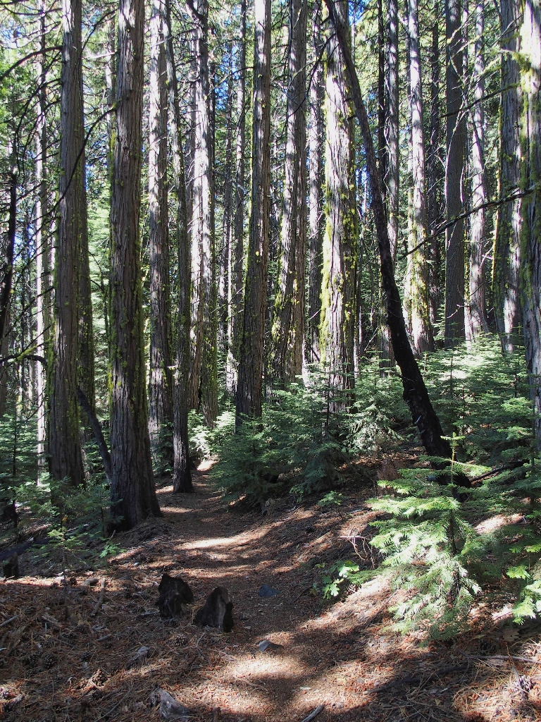
This segment of trail is most unusual. It runs along the side of the ridge,
virtually flat and in a virtually straight line. It is beautifully constructed,
easy on the feet, and seemingly well-maintained; for there are no fallen trees
or other obstructions blocking the path.
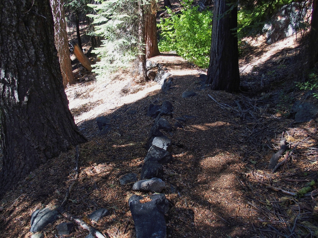
This trail was built to last...
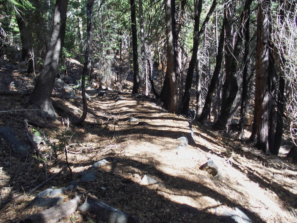
...Yet why is it here at all?
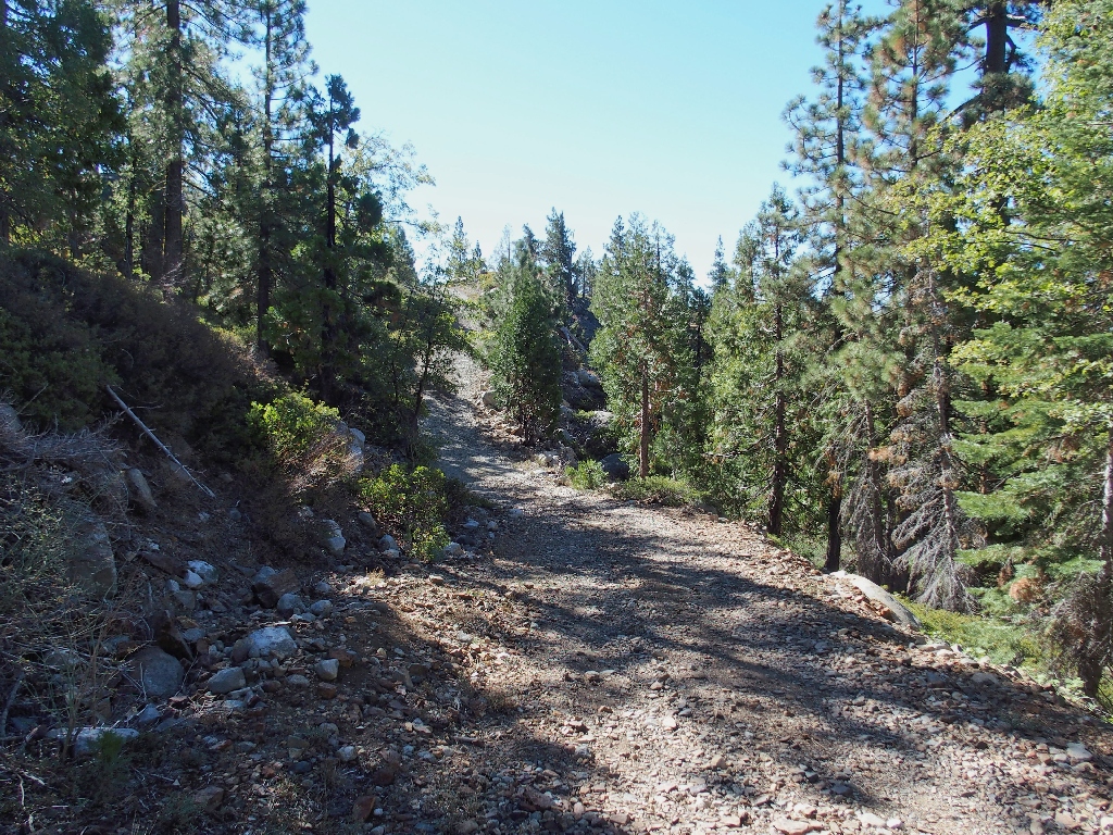
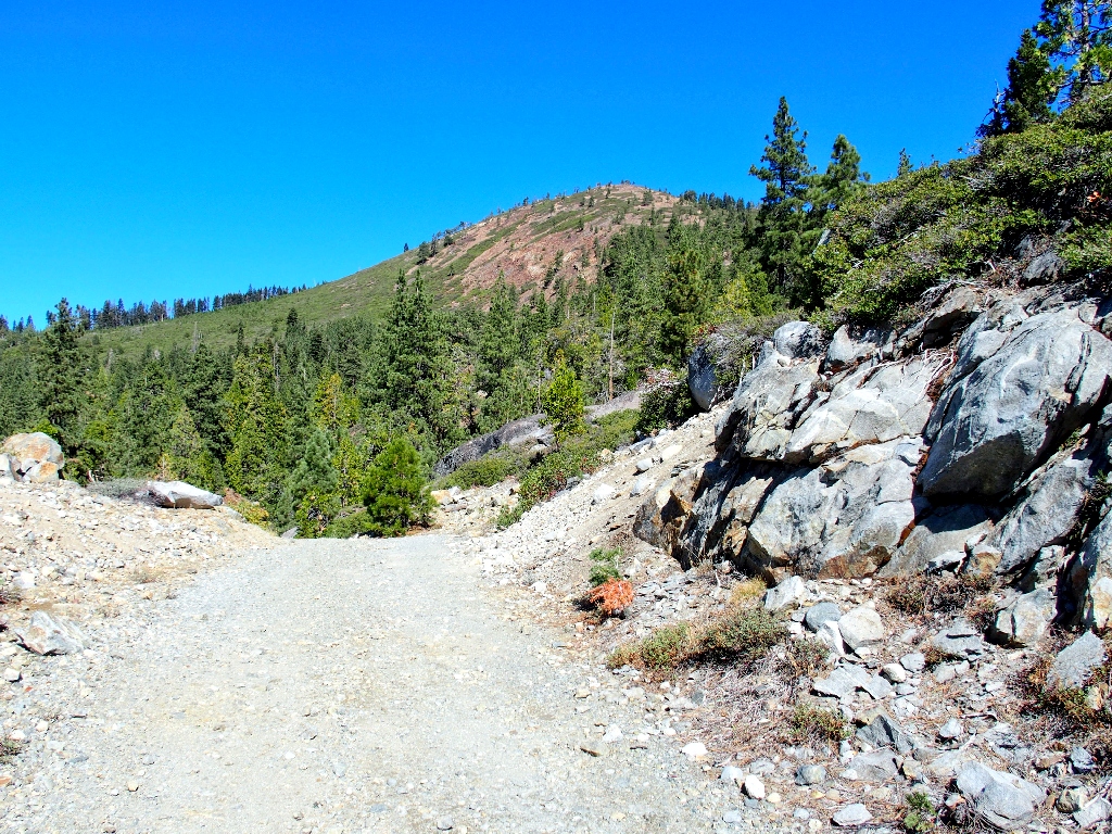
After crossing a wash I encounter some steeper sections, eventually leaving PG&E property and entering the national forest. Presently, I encounter a totally unmarked junction with the Grouse Ridge Trail, which is on my map. At least, now I know precisely where I am.
Observing also that from here the trail is heading rather steeply downhill
and that the better part of three miles already have been logged, I decide to
abort the mission. If I were in a desirable environment I would continue and
make this a 10-mile day; but this trail, albeit intriguing, is incredibly
boring to walk. Having no worthwhile views of anything gets old fast,
especially when one has been spoiled by all the superlative scenery that is standard
fare in the Sierra.
The turn-around point
Starting back
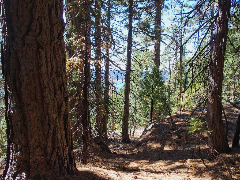
A glimpse of Lake Spaulding
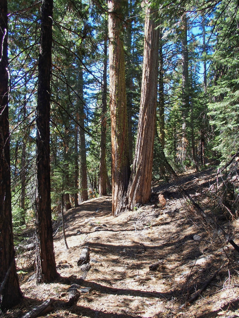
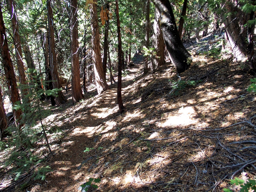
There are plenty of tall trees
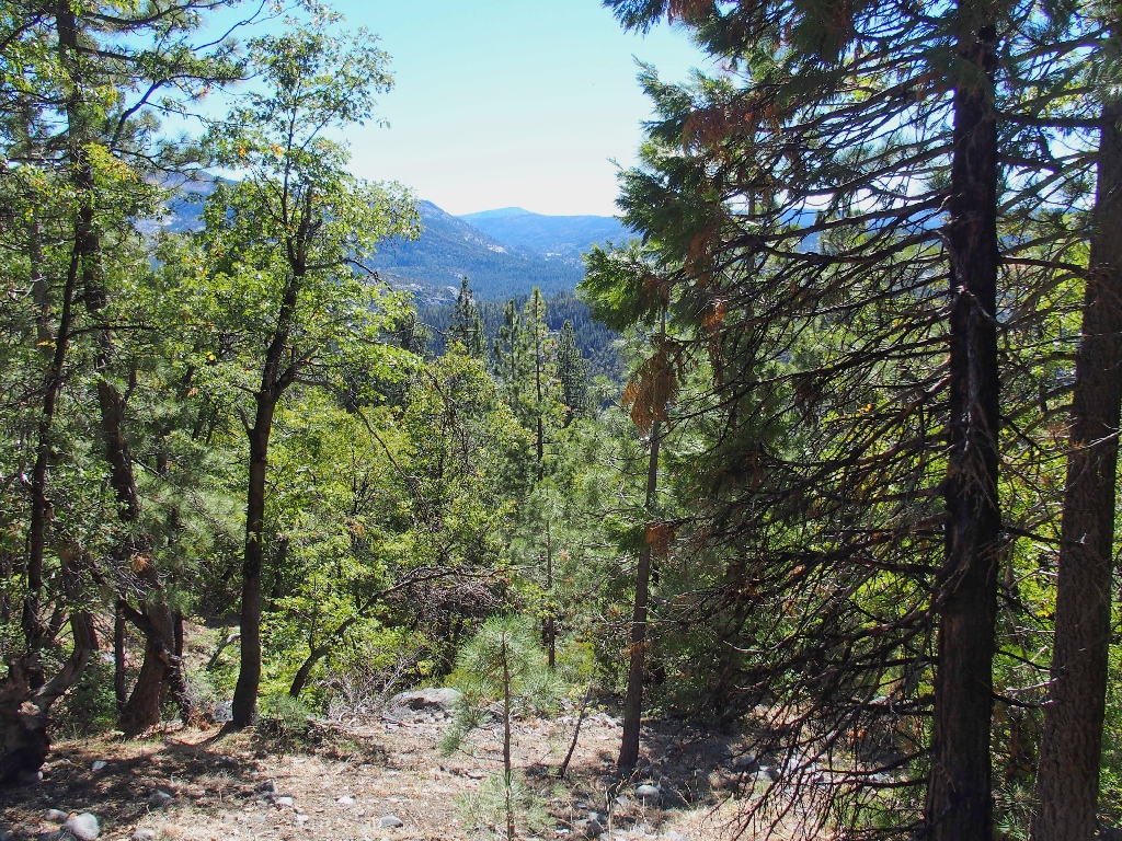
Interstate-80 in the distance
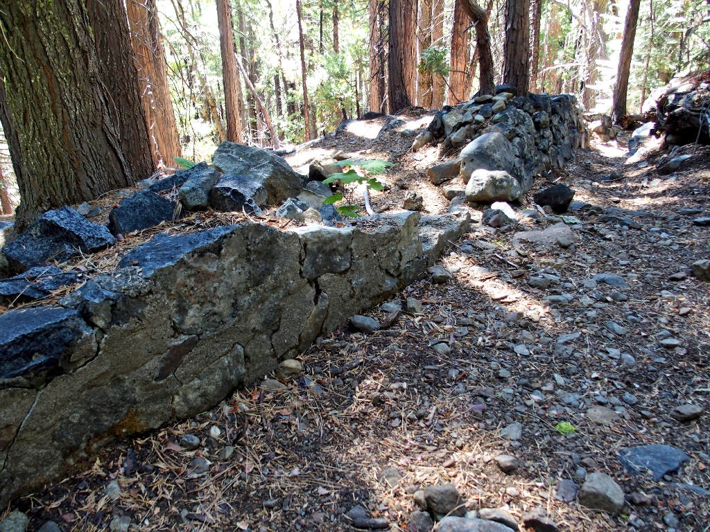
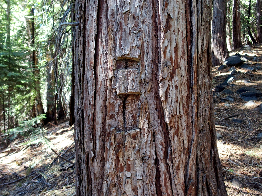
There concrete in the stonework
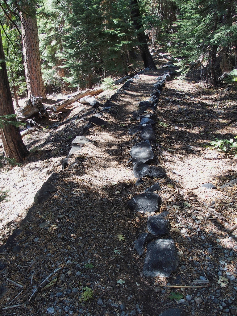
More heavy-duty trail reinforcement
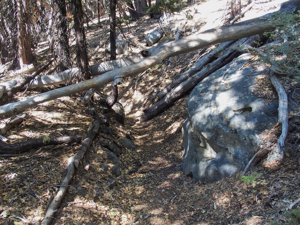
The most interesting spot on the path
That place also is well-maintained
Back on the roadway
Back at Blue Lake
I briefly toy with continuing down the road, but soon plunge back down into the forest toward the lakeside campsites. This time, I'll opt for the most direct route to the car, by taking the shoreline fishers' trail.
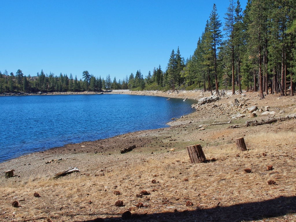
Hugging the shore
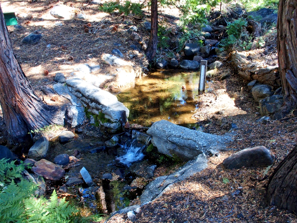
A stream-gauging station below the dam
§: Well, the only bootprints I saw today were my own. Nobody much
cares to hike here, which is not surprising in light of the fact that the trail is
so uninteresting and doesn't lead to anywhere attractive within many miles.
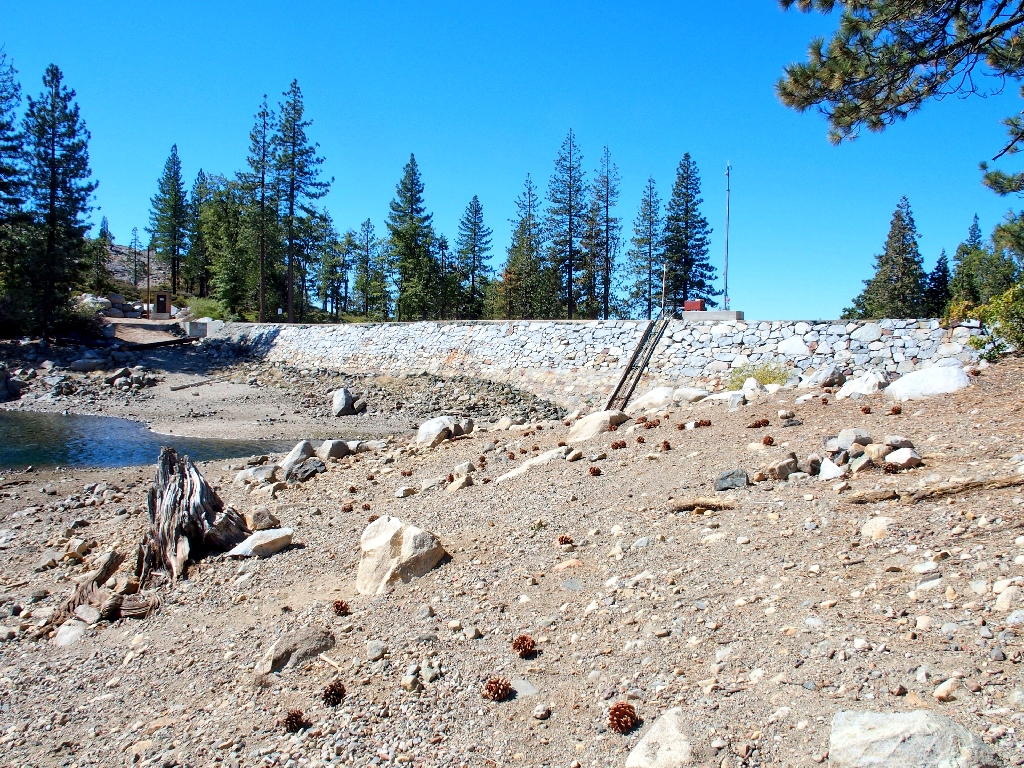
So why is it there? The concrete work and sheet-metal pieces beside the big wash are remnants of a former dam, and the depression beside much of the trail was a ditch down to blue lake. That explains the existence of the robustly built trail, but not why it doesn't even show up on my topo map. The map on the PG&E signpost at Fuller Lake also conflicts with certain other maps as well as some others' accountings of the actual location of the Blue Lake Trail.
In any case, I'll not be coming this way again. A visit to Loney Lake and the Granite Creek environs remains on my bucket list, but I'll try to find a shorter route down from Grouse Ridge to that area. The fact that no trails currently exist suggests that access will be difficult, but that's just a formality.
| Scenery |  |
| Difficulty |  |
| Personality | |
| Adventure |  |
| Flowers |  |