
Carson-Iceberg Wilderness
|
Folger Peak Carson-Iceberg Wilderness |
June 23, 2021
Despite having lived within relatively easy striking distance of Ebbetts Pass for most of my life, I never have gotten around to exploring the nearby Highland Lakes area. Go figure.
Both Hiram Peak and Folger Peak have long been on my bucket list. Some online photos of the Hiram ascent look exciting; so the plan is to tackle that one first, then perhaps the other one as well. Each summit will necessitate about 1,100 feet of climbing, but neither one offers an official trail for assistance.
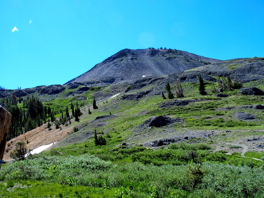
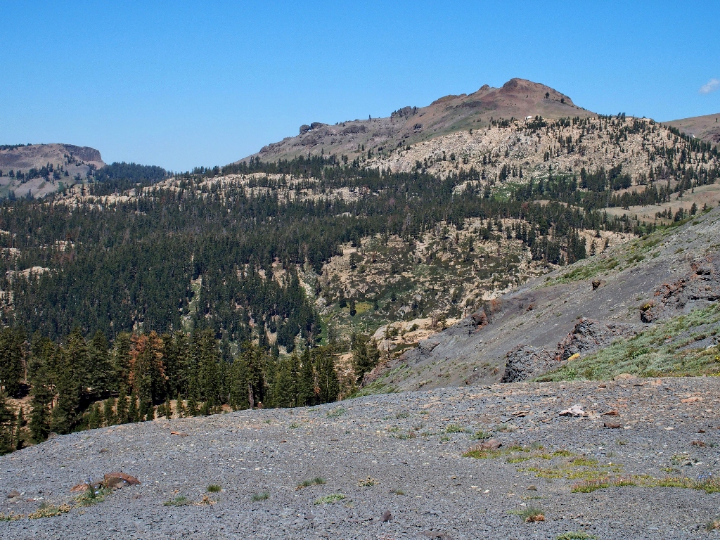
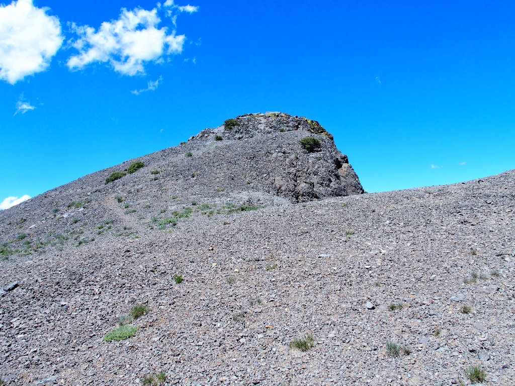
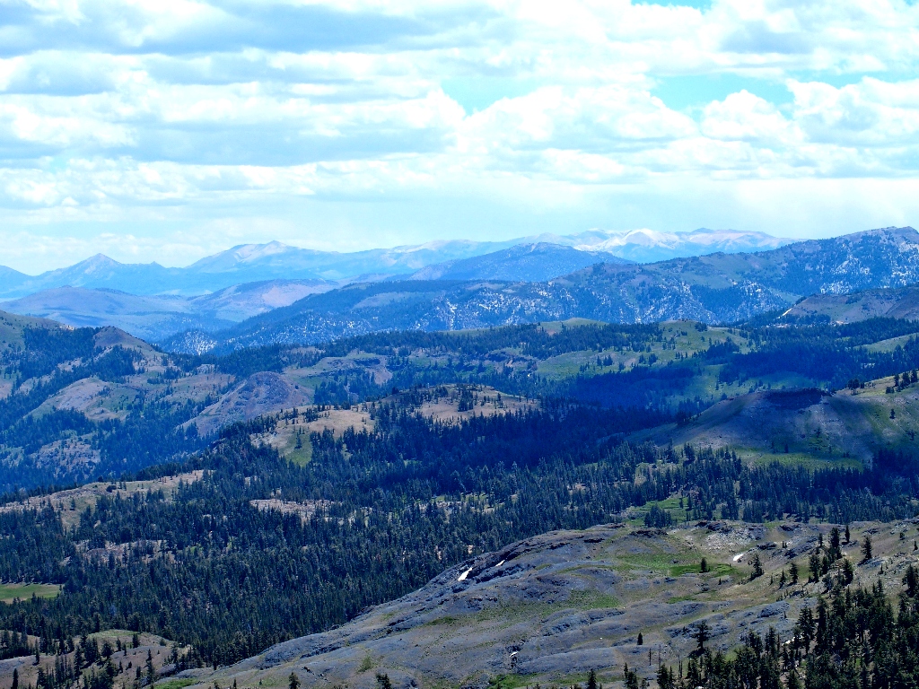
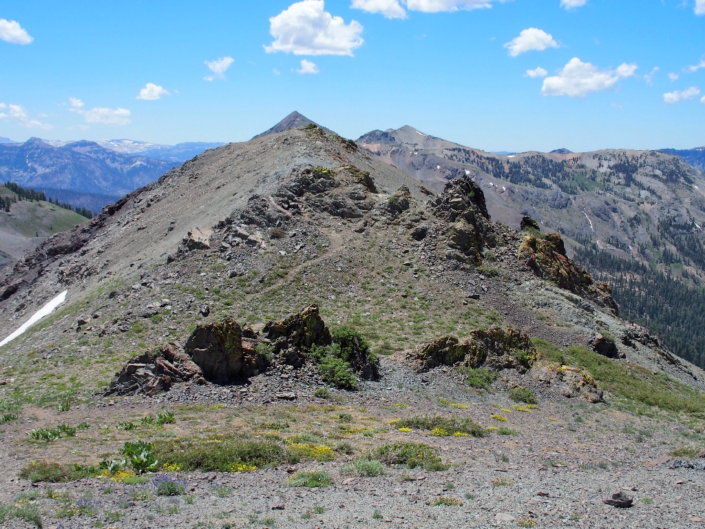
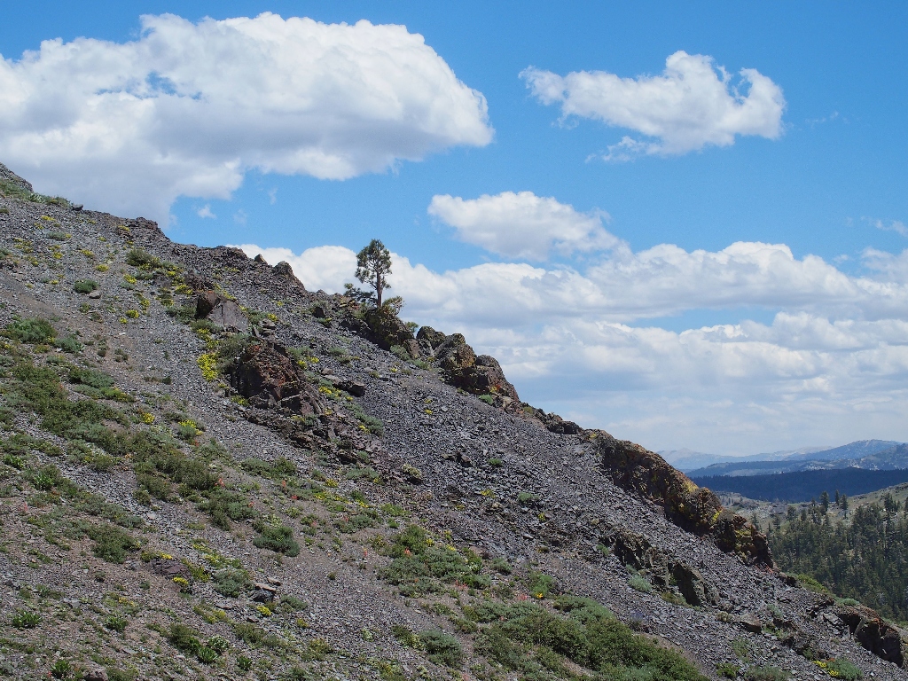
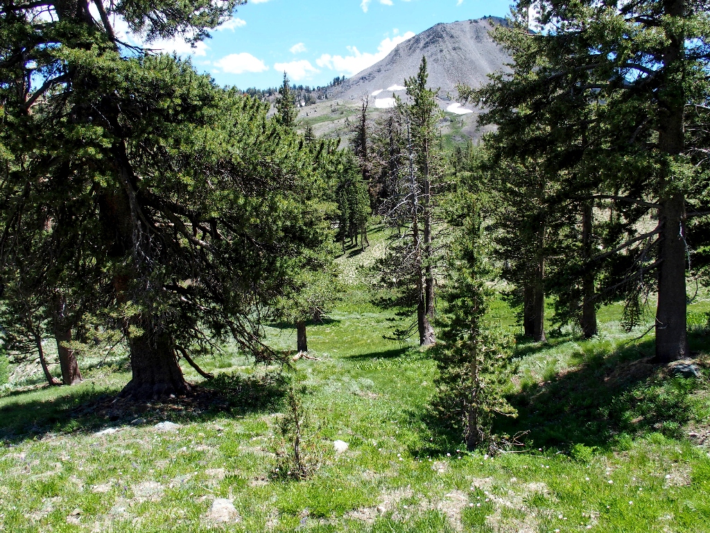
Destination: dead ahead
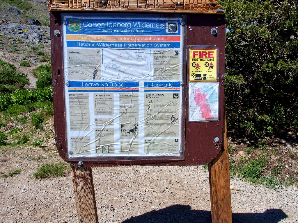
The signpost map is of no help at all, but I can see a social trail
A substantial breeze induces me to pack a windbreaker. It also suggests that
I opt for the perceived 'easier' route, so that's what I will do. No trail is in
evidence around here; so I strike out cross-country, directly toward the peak.
The adventure begins
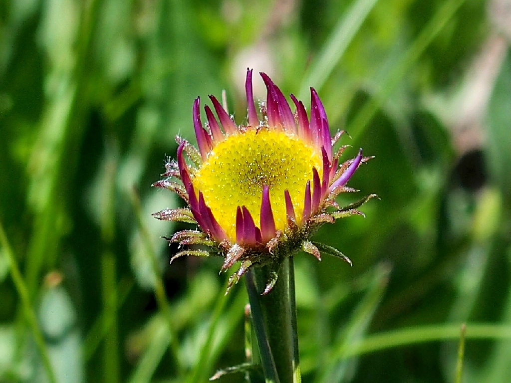
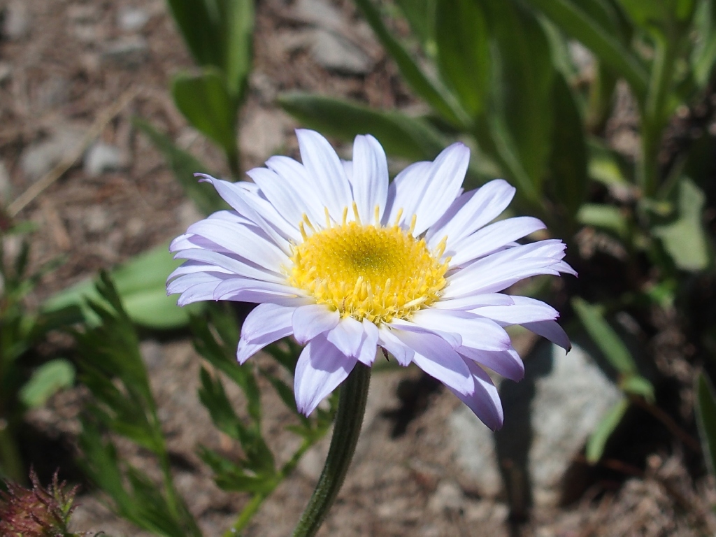
Immediately, I encounter the anticipated plethora of flowers; photographing them in the stiff breeze will be a challenge.
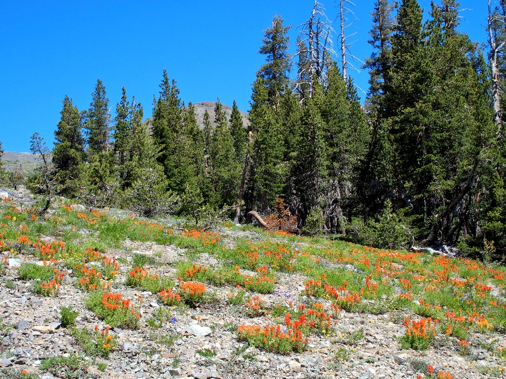
I'll not be 'alone' on the trail today!
Mule's Ears
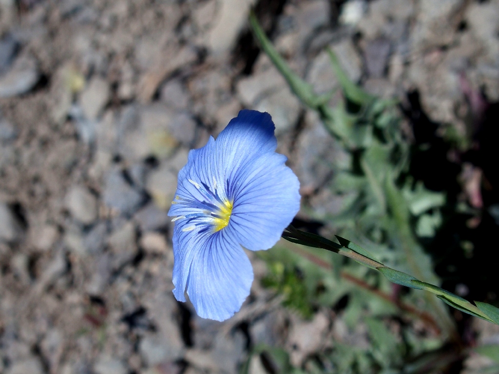
Flax
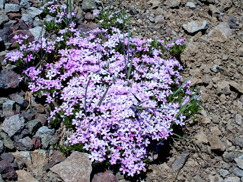
Phlox
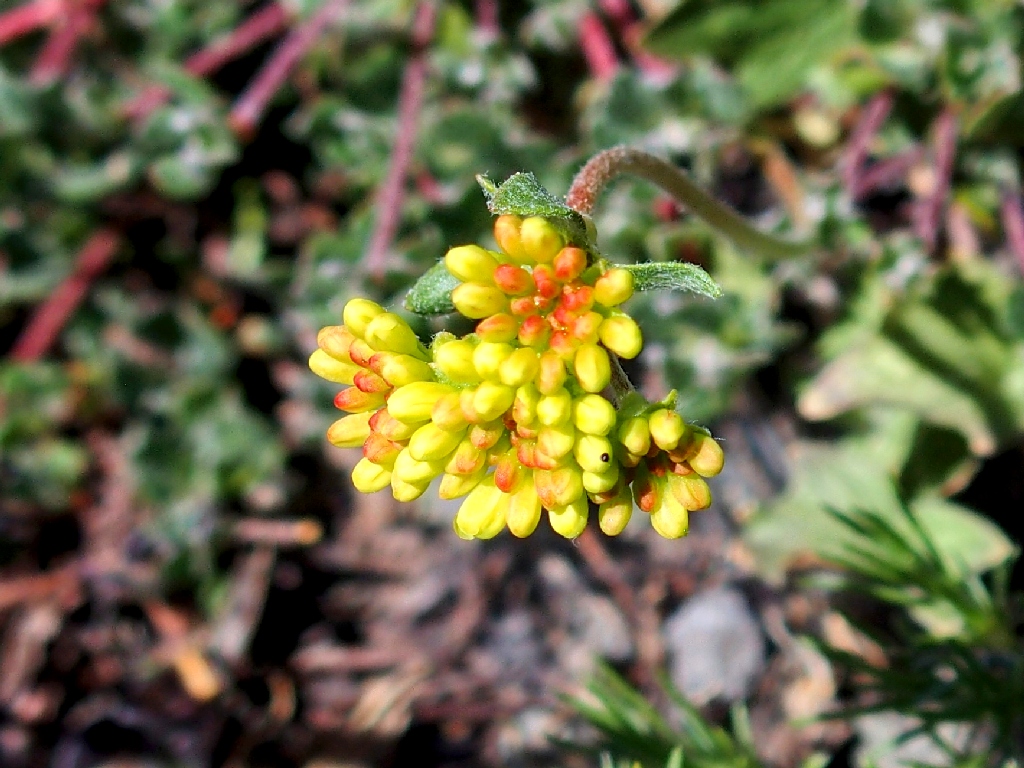
Sulfur-flower Buckwheat
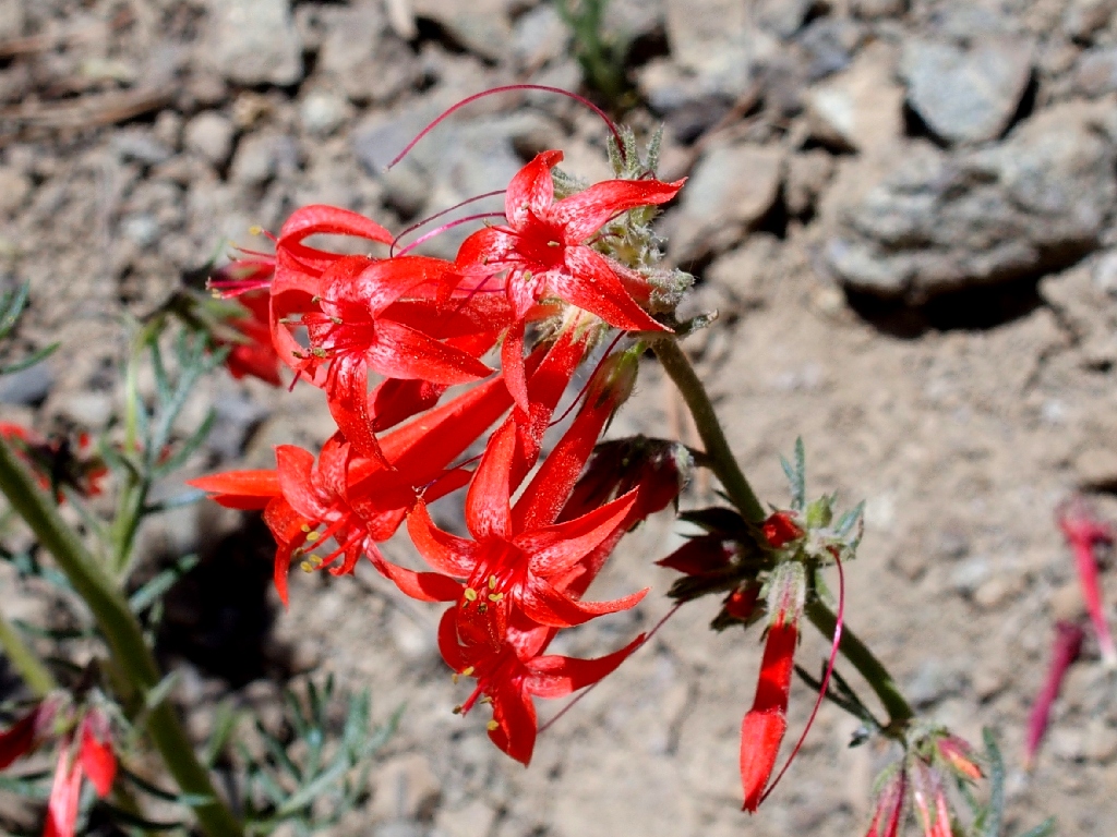
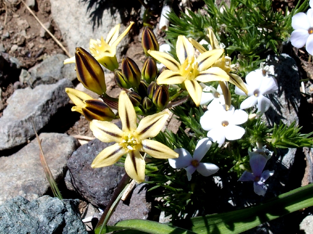
Skyrockets
Within fifteen minutes, I encounter a trail coming up from the direction of the campground; this is good.
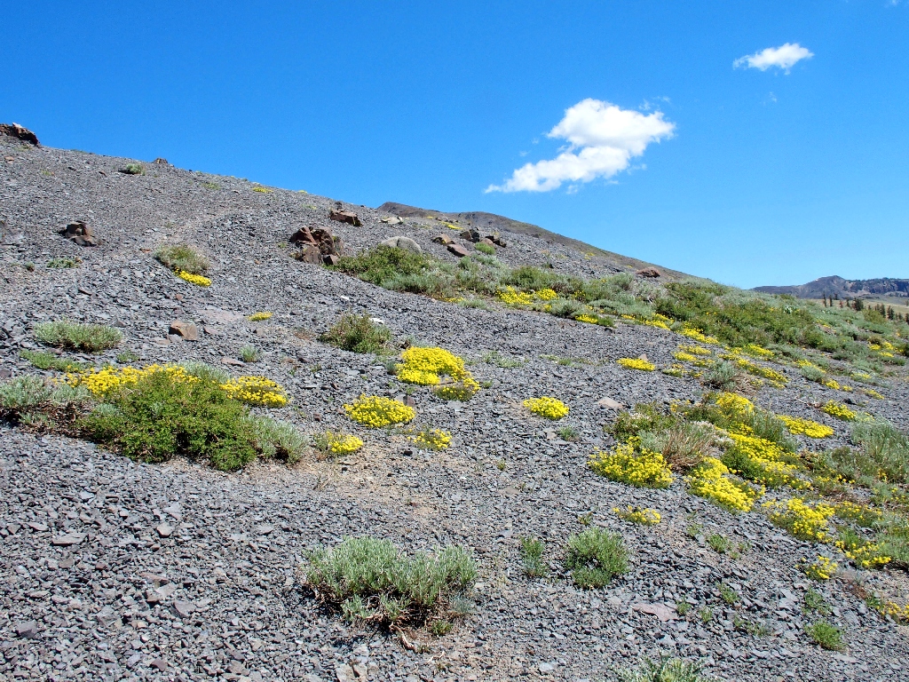
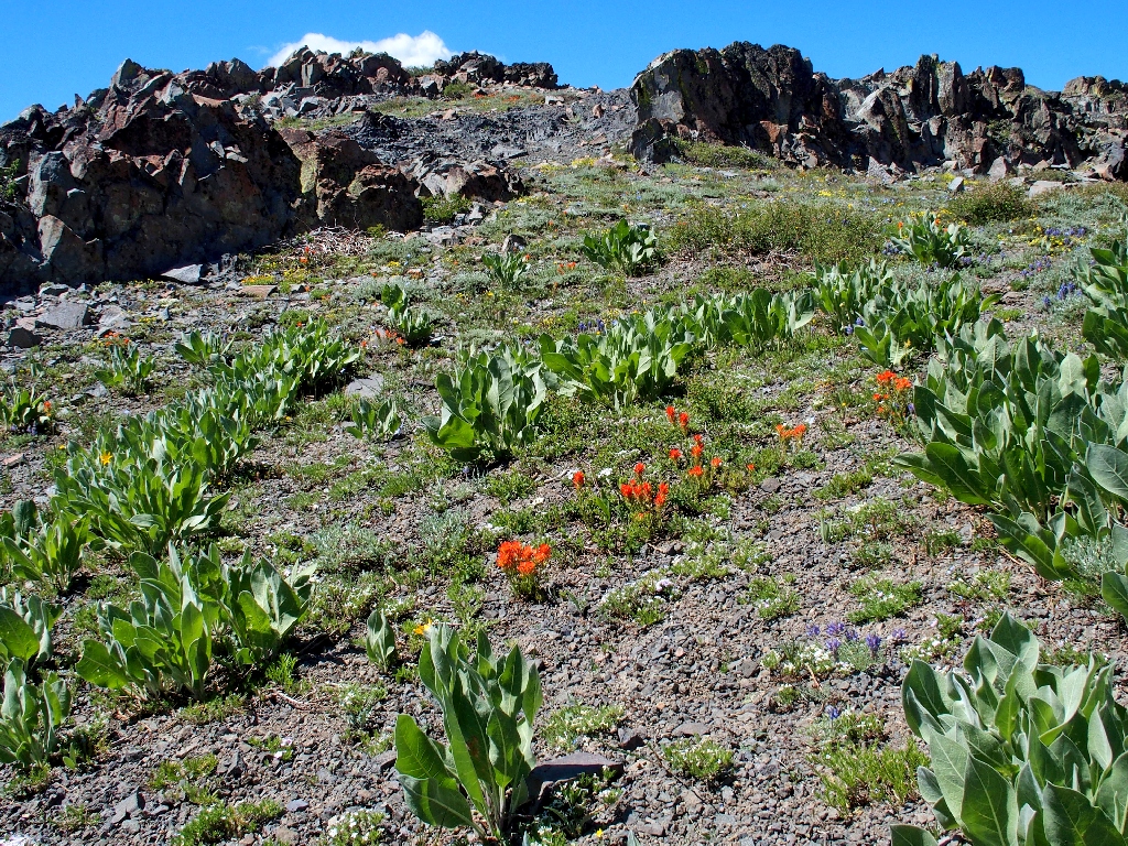
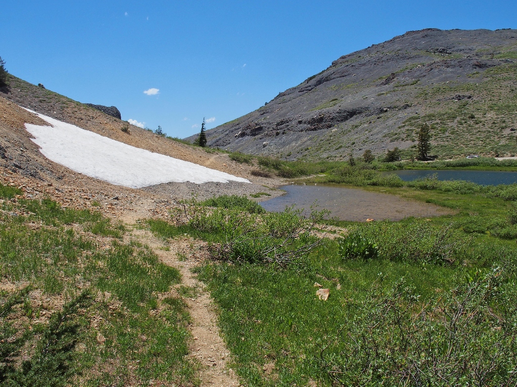
The entire area is comprised of scree — no solid ground
The destination is waiting
View to the west
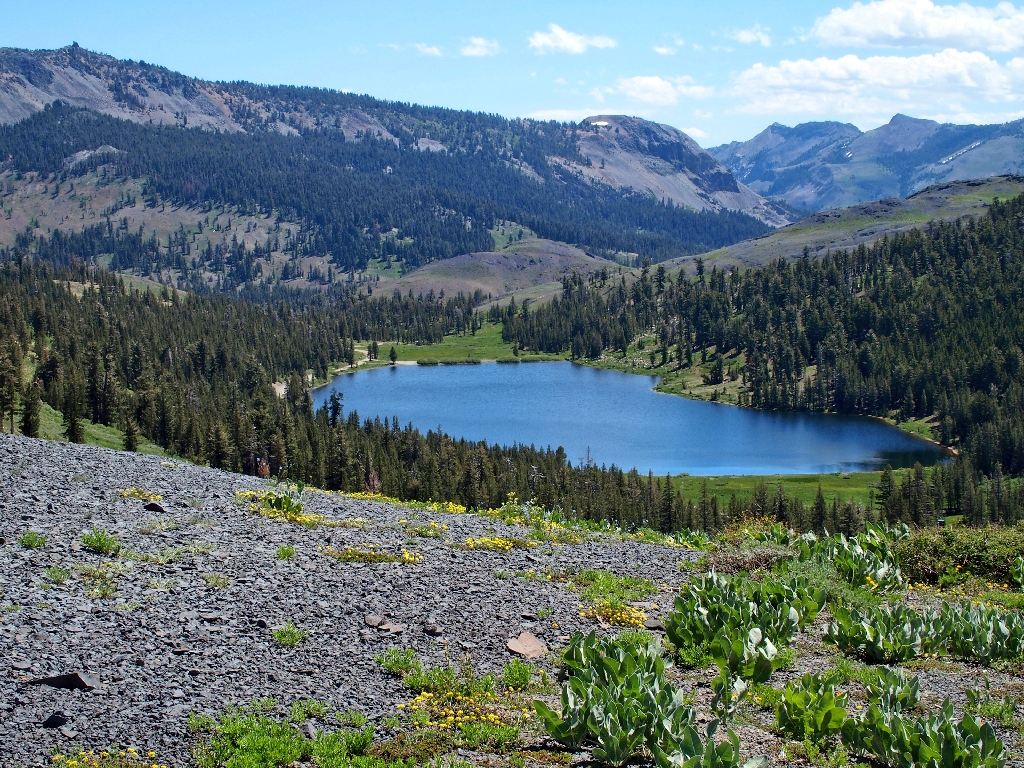
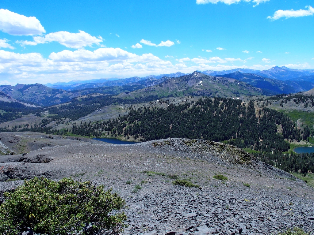
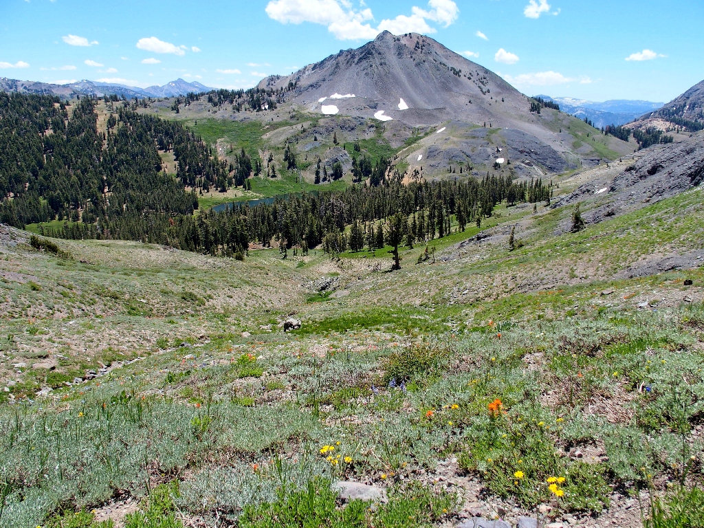
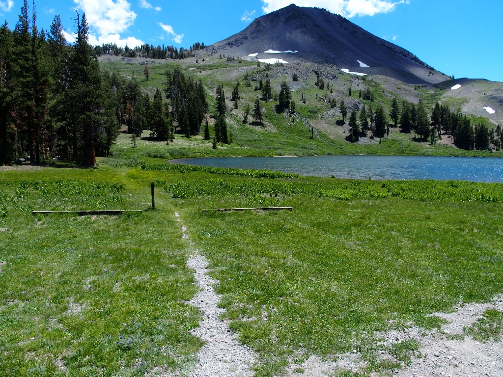
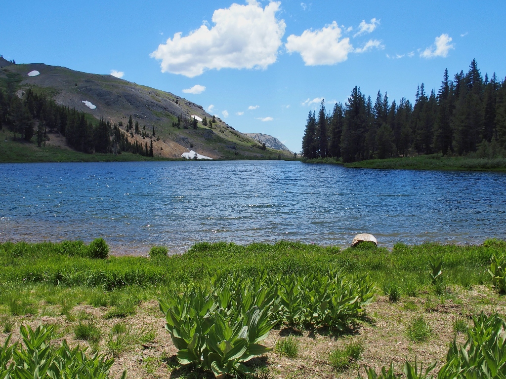
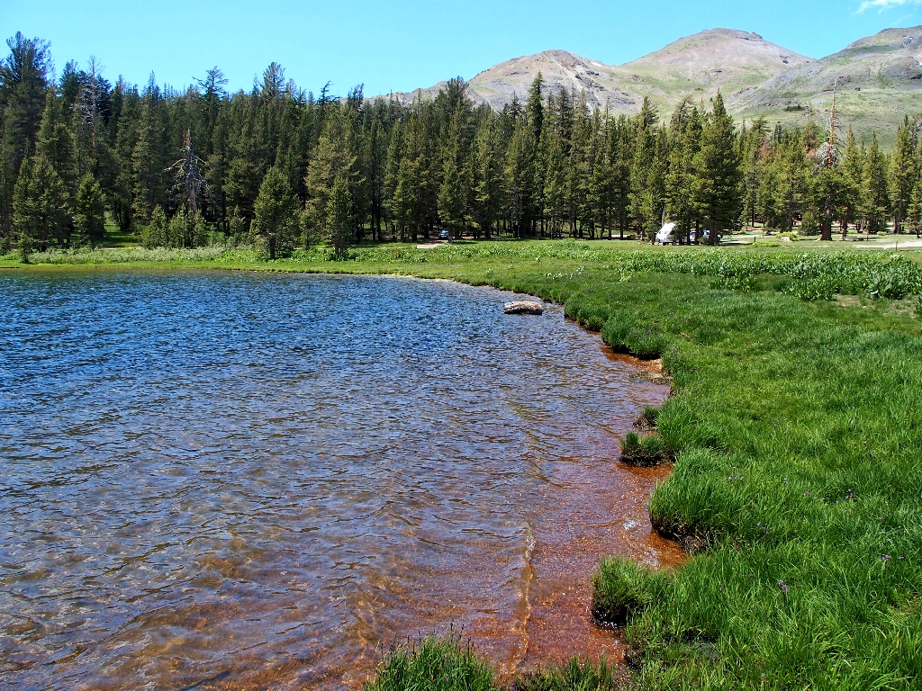
Lower Highland Lake
The trail heads directly over a rocky area that necessitates great care in
foot-placement across two tricky sections. Seeing what looks like
easier going below, I resolve to try a different route on the return.
Getting closer
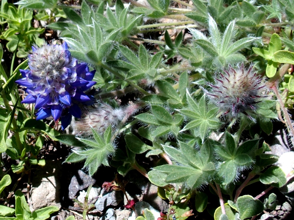
Compact Phacelia
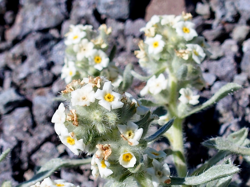
Low Cryptantha (a first for me)
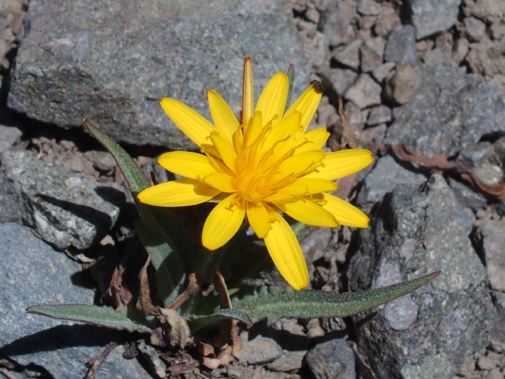
Mountain Dandelion
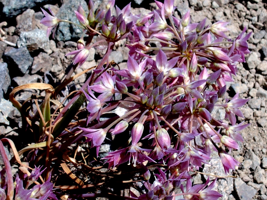
Dusky Onion
The final portion of the route traverses straight up the slope, and the going is slippery. Many rest stops are in order during the last few hundred feet of ascent.
Huffing and puffing
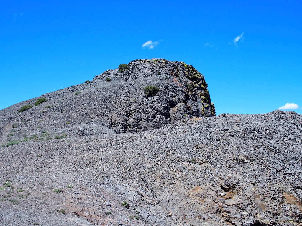
Achieving a saddle just below the summit block, I finally can relax and enjoy the surroudings.
There's the high point
In 1866, Robert Folger was proprietor of the Alpine Chronicle in Markleeville, the first California newspaper published east of the Sierra. His brother Andrew had just been appointed the town's postmaster. This mountain was named after one or both of them.

It certainly was worth the climb
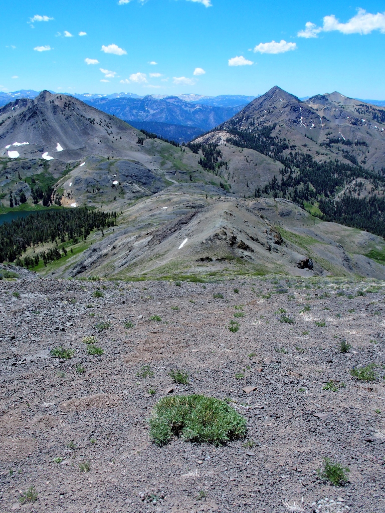
Of course, there are outstanding views in every direction.
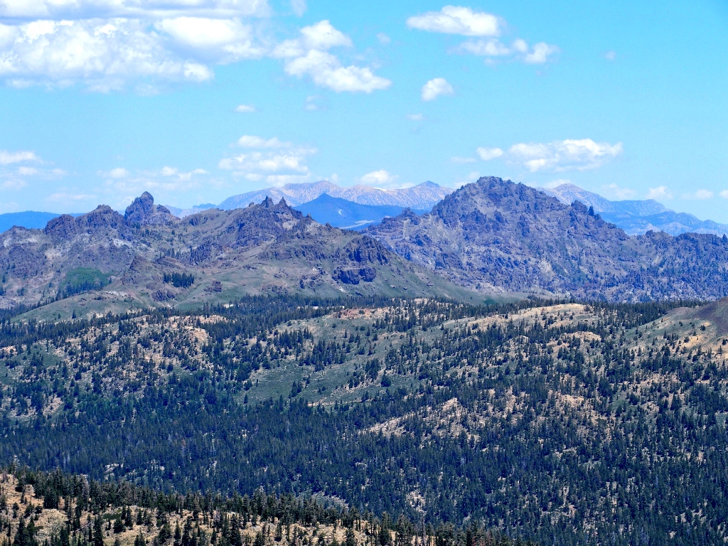
Southeast is the heart of the High Sierra
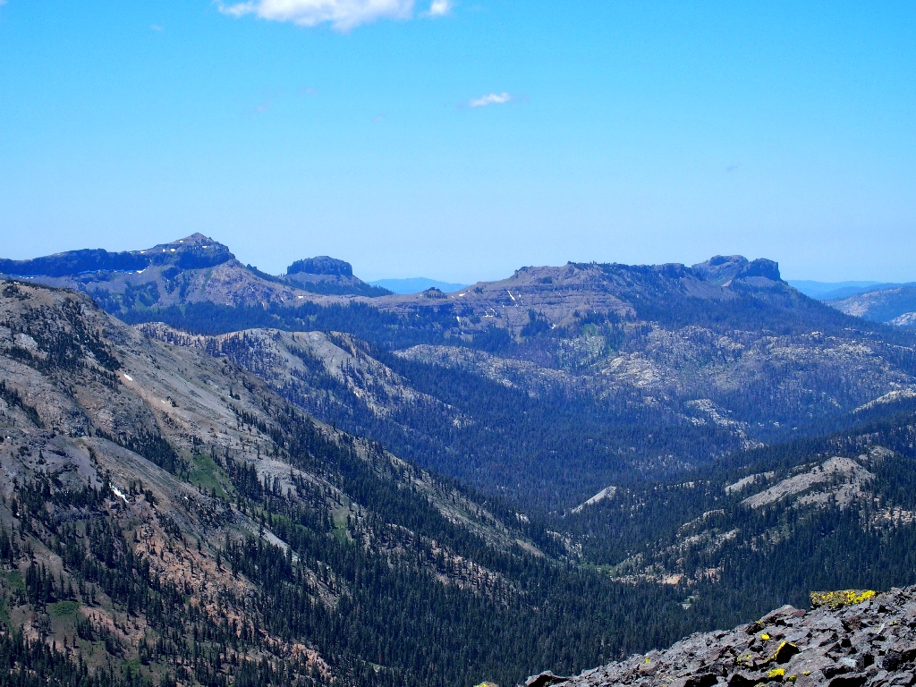
To the north are Raymond Peak and distant Freel Peak
The Dardanelles lie to the west
The Sweetwater Mountains in the east are partly in Nevada
I scamper up to the summit itself, but only briefly; for the wind is trying to blow me off the mountain.
Scaling Hiram Peak clearly would be the more difficult challenge
It is just as well that I opted to come over this way today.
Last view of the summit
Having been up here long enough, I will head down a ways before stopping for a snack and deciding how to continue.
Down I go
Sliding on the loose scree is easy enough most of the time; but it isn't really fun, for there always is a danger of falling. The bottom of this steepest section is a good place finally to flop down and remove my pack for a while.
A mini-illusion
After scarfing some nuts and seeds plus my usual cutie, I head off the trail toward what looks like easier going. It is not; the scree is just too treacherous up here. Somewhat farther down, however, I try it again where the slope has lessened. It still is more work than fun, but I am committed now; if this were real ground instead of loose gravel, the going would be a lot easier.
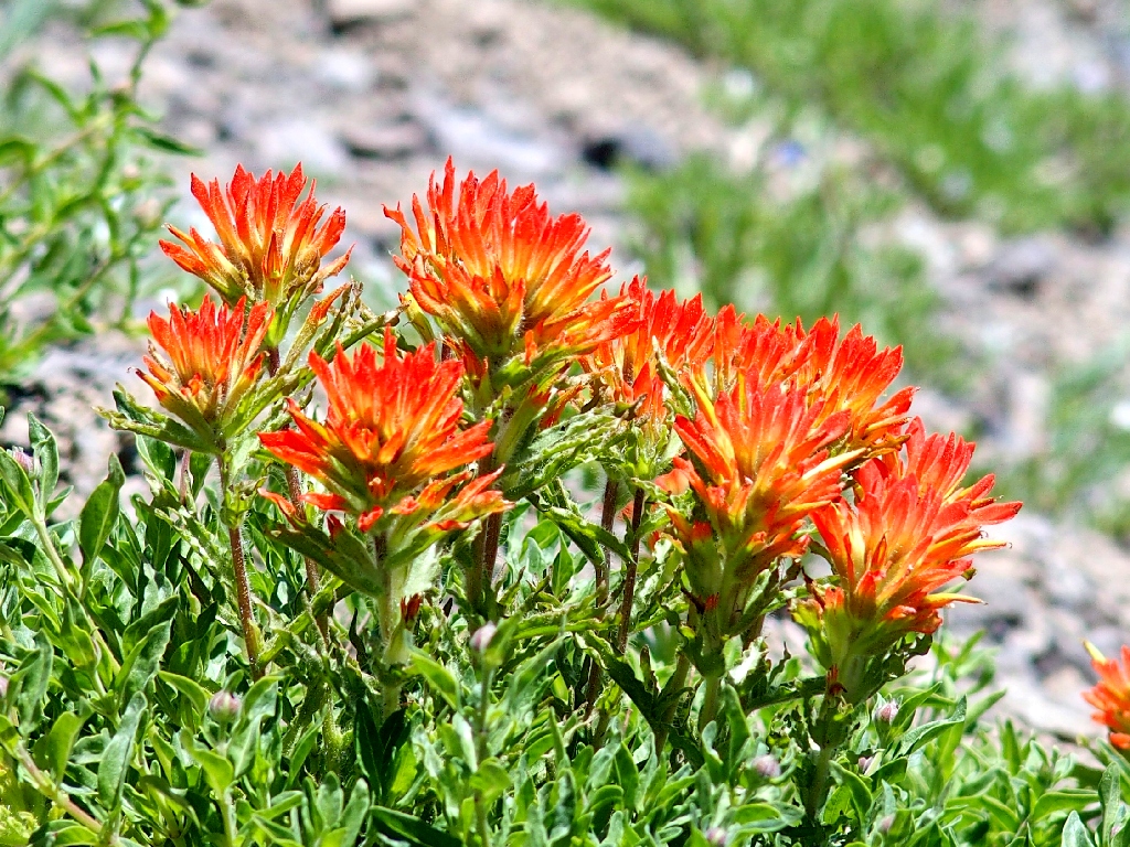
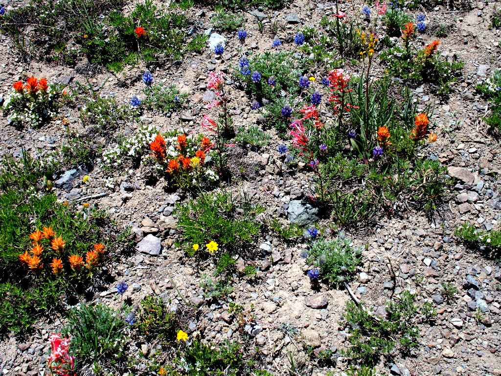
Wyoming Indian Paintbrush
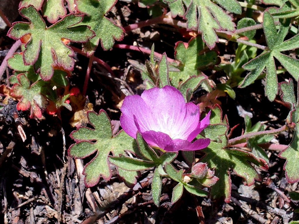
Glaucous Checkerbloom
Not as easy as it looks
The only tree on the slope
In a seeming determination to record all of the flower varieties today, the opportunities to flop down are welcome breaks for my overworked knees. It is just as well that I have lots of time, for shooting my moving subjects requires extra care.
Wandering Daisy — before and after
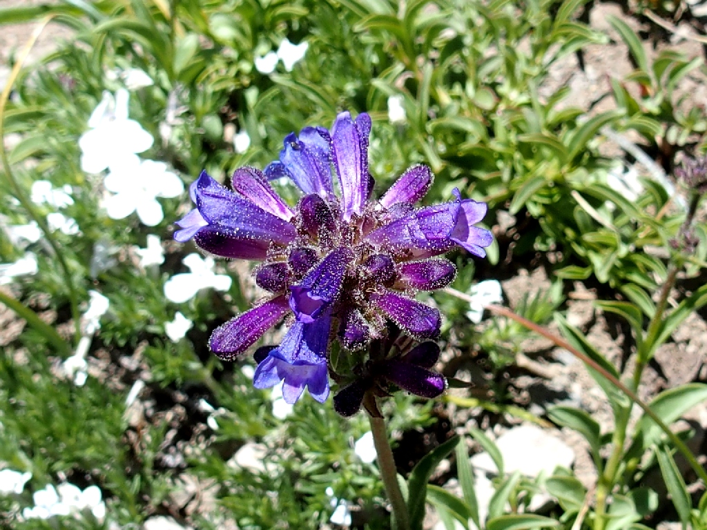
Sierra Penstemon
Pretty Face
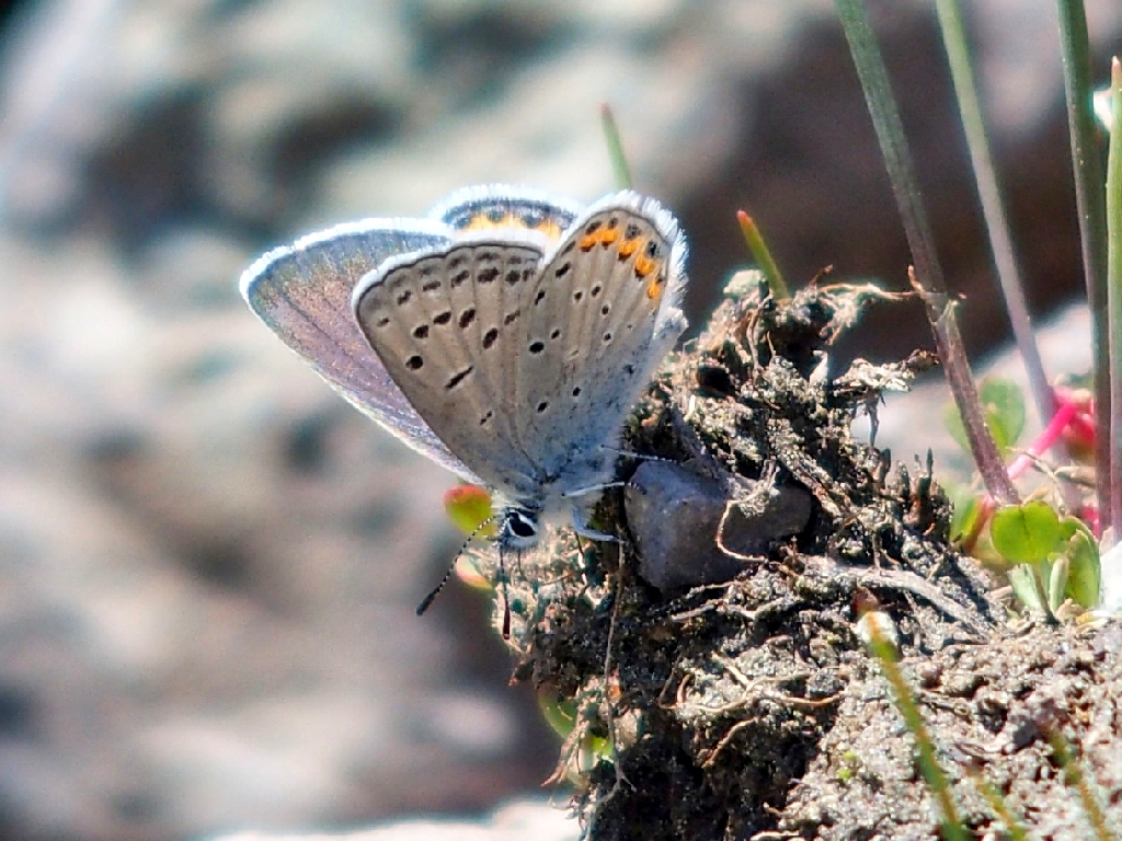
A Shasta Blue at 1/1000th second
Slender Cinquefoil
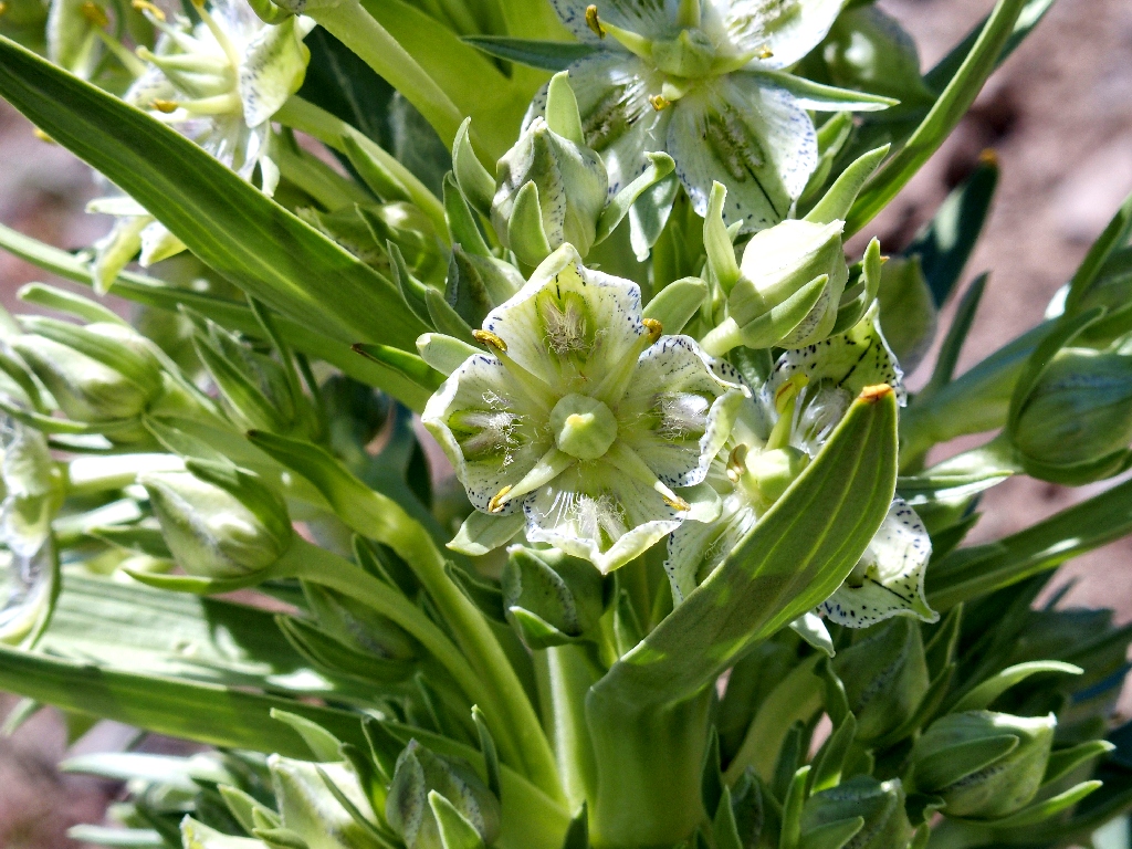
Monument Plant
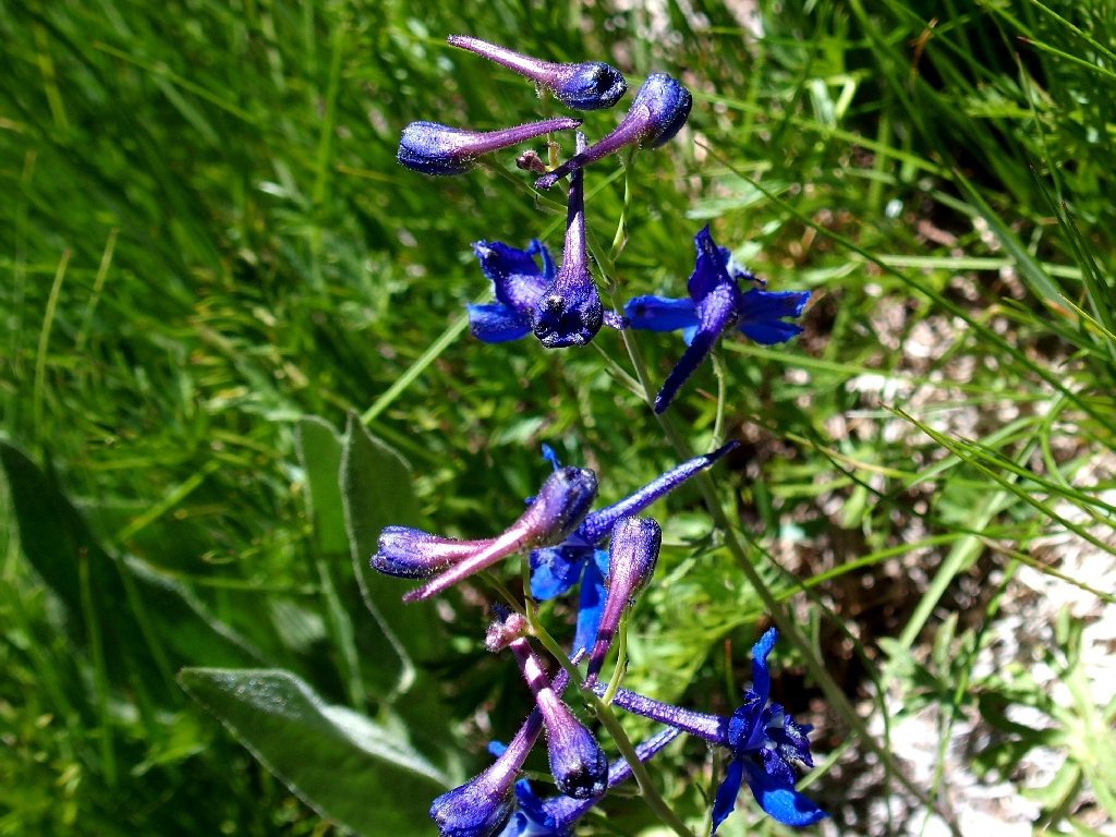
Anderson's Larkspur
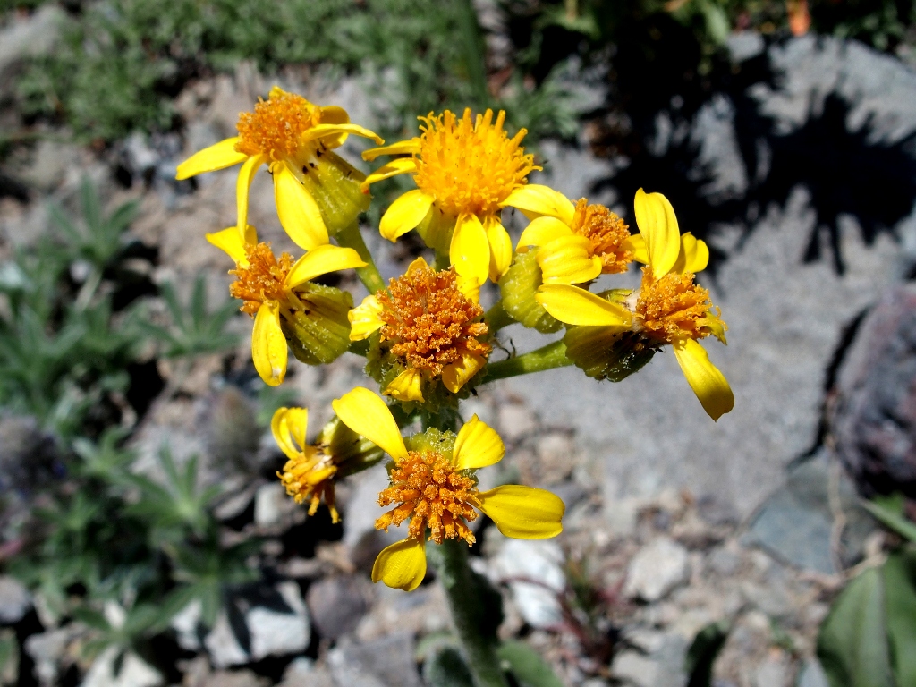
Woolly Sunflower
More rough going awaits me
From here, I find it easiest just to scramble along at the bottom of the wash, where there are a couple inches of water in places.
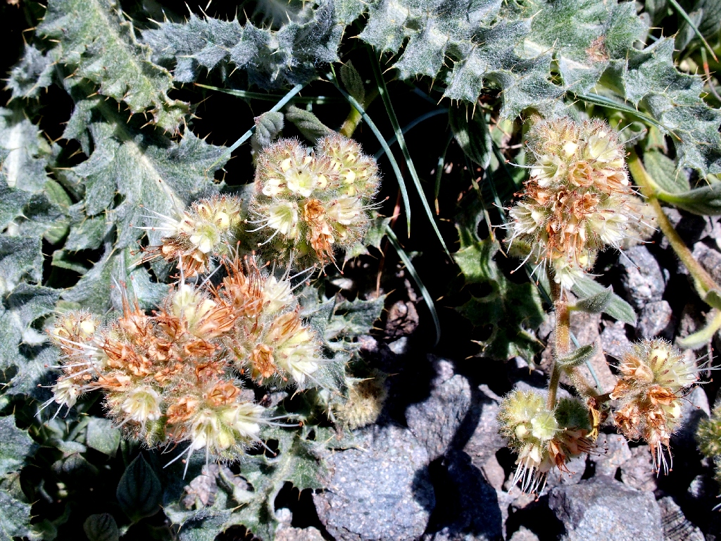
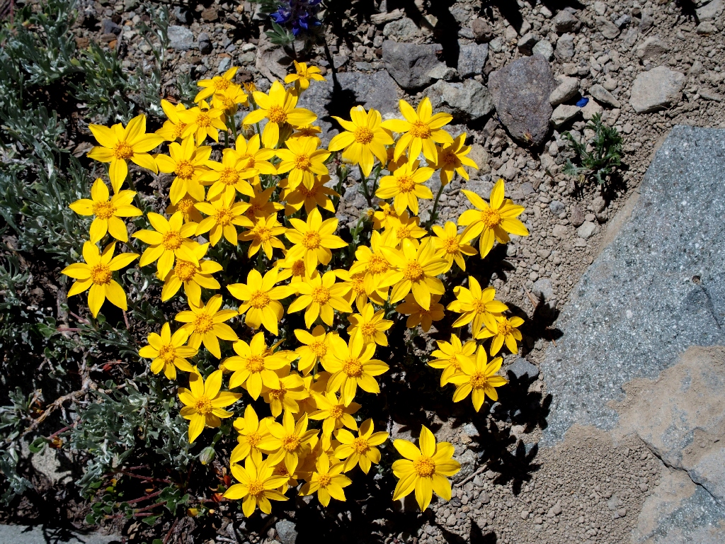
Woolly Groundsel
Dwarf Lupine
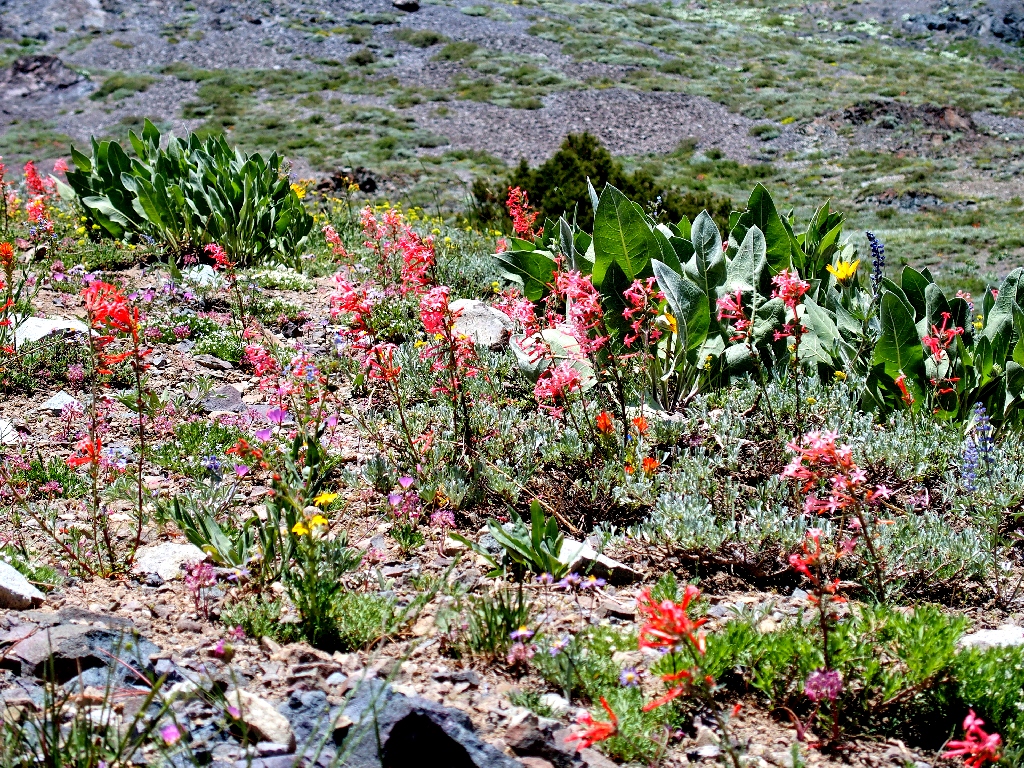
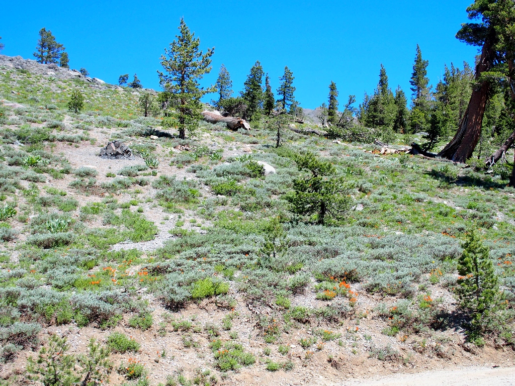
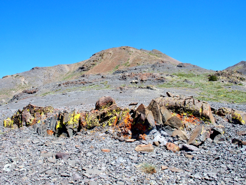
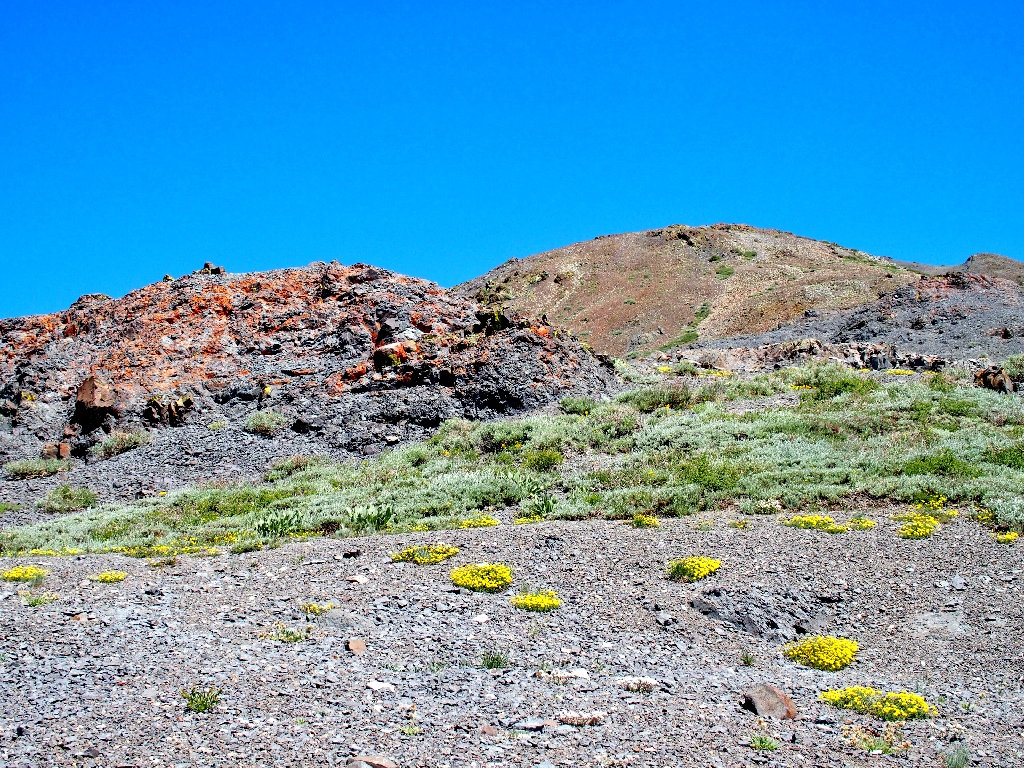
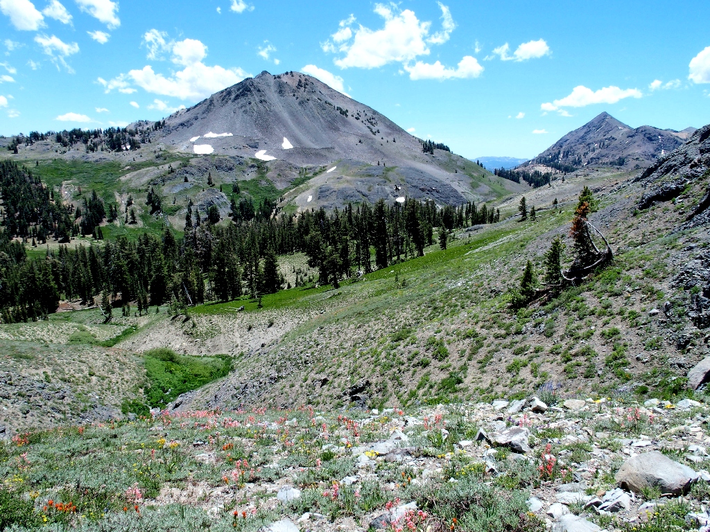
Arid splendor
After a convenient opportunity to clamber out of the wash presents itself, I finally am free of the difficult scree slopes.
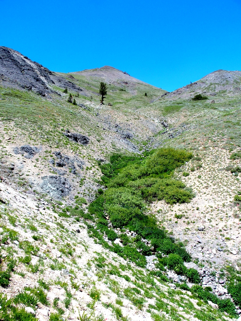
The route behind
From here I could veer back in the direction of the trailhead, but there is a plan.
The route ahead
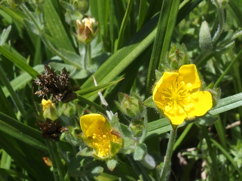
Sticky Cinquefoil
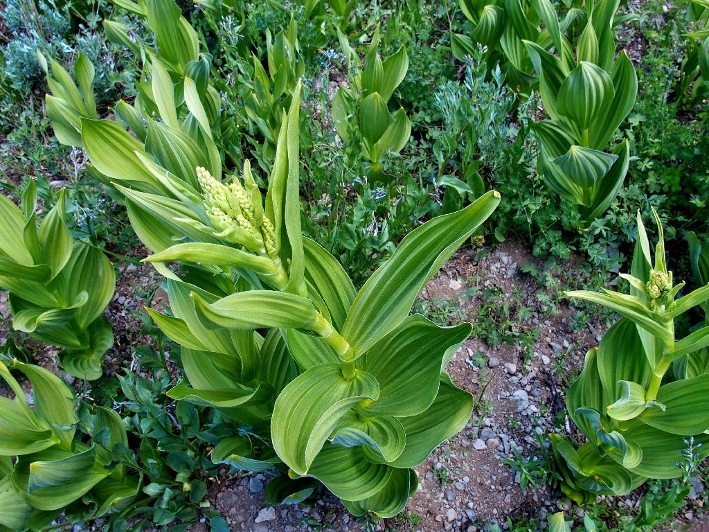
Corn Lily
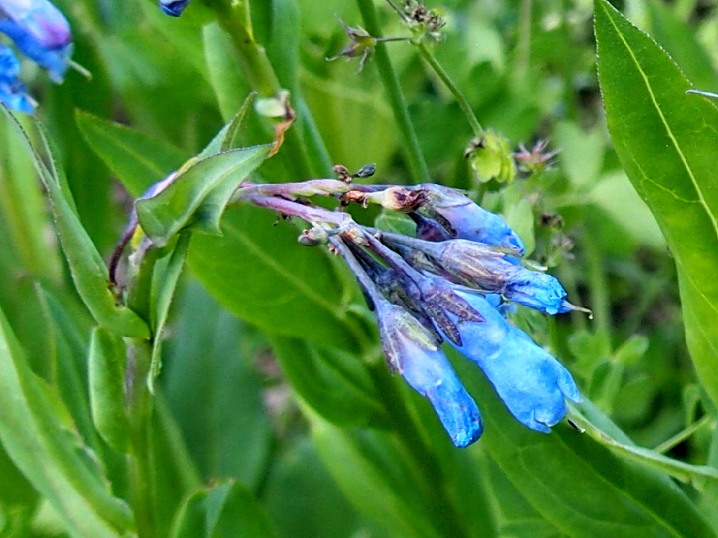
Sierra Bluebell
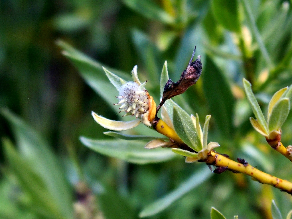
Sierra Willow
Continuing toward the campground, I finally regain the use trail, not that it matters anymore.
The unofficial summit route starts here
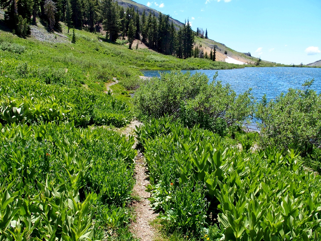
Now, as per the plan, I will finish up by walking around the far side of the lake. Besides, there might even be some new flower types over there.
Detouring around the headwaters of the North Fork Mokelumne River
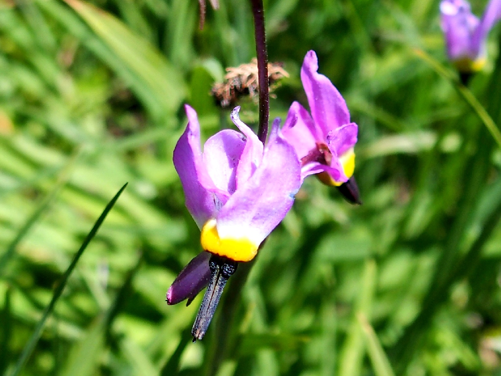
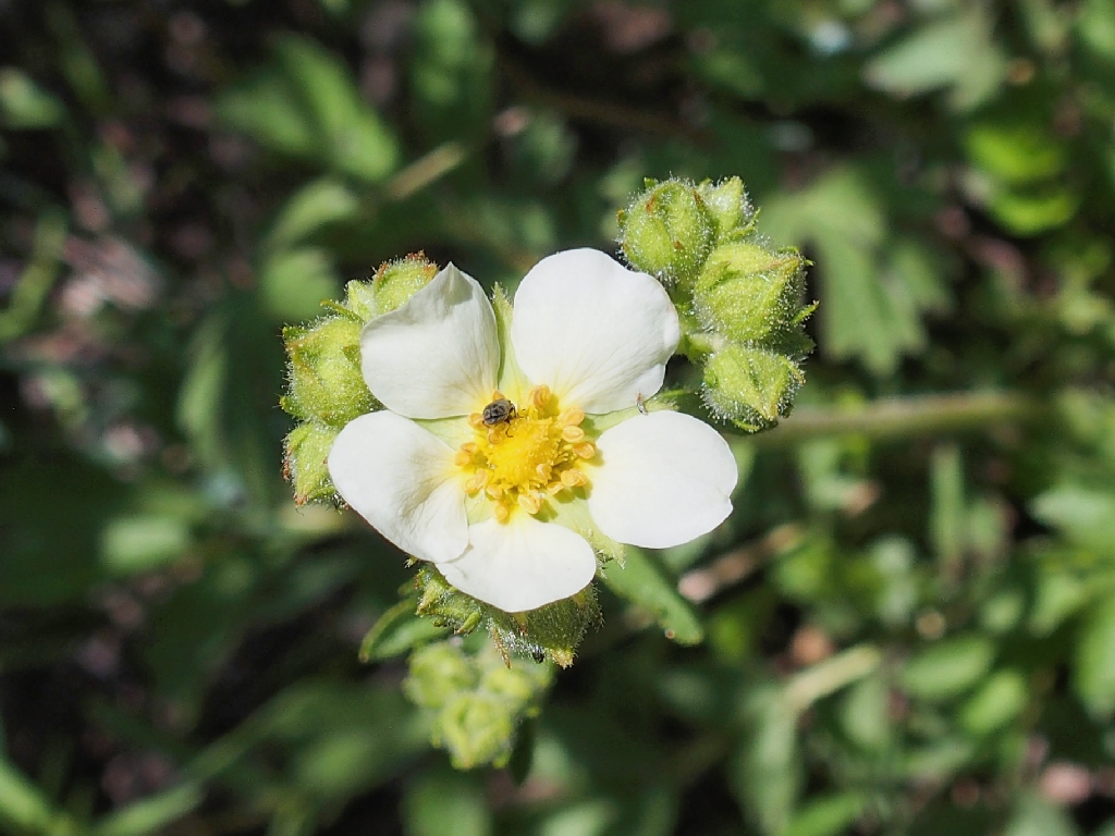
Sierra Shooting Star
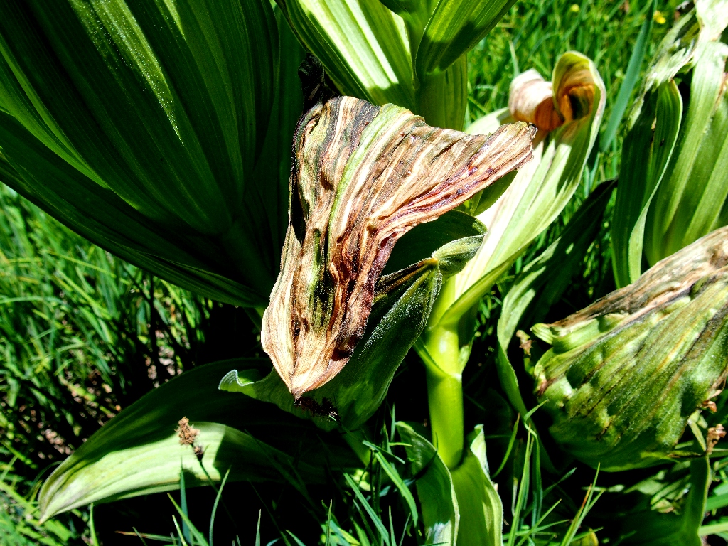
Corn Lilies have such great textures
Folger Peak in the background
The trail is helpful
The only snow on the entire route
Closing the loop
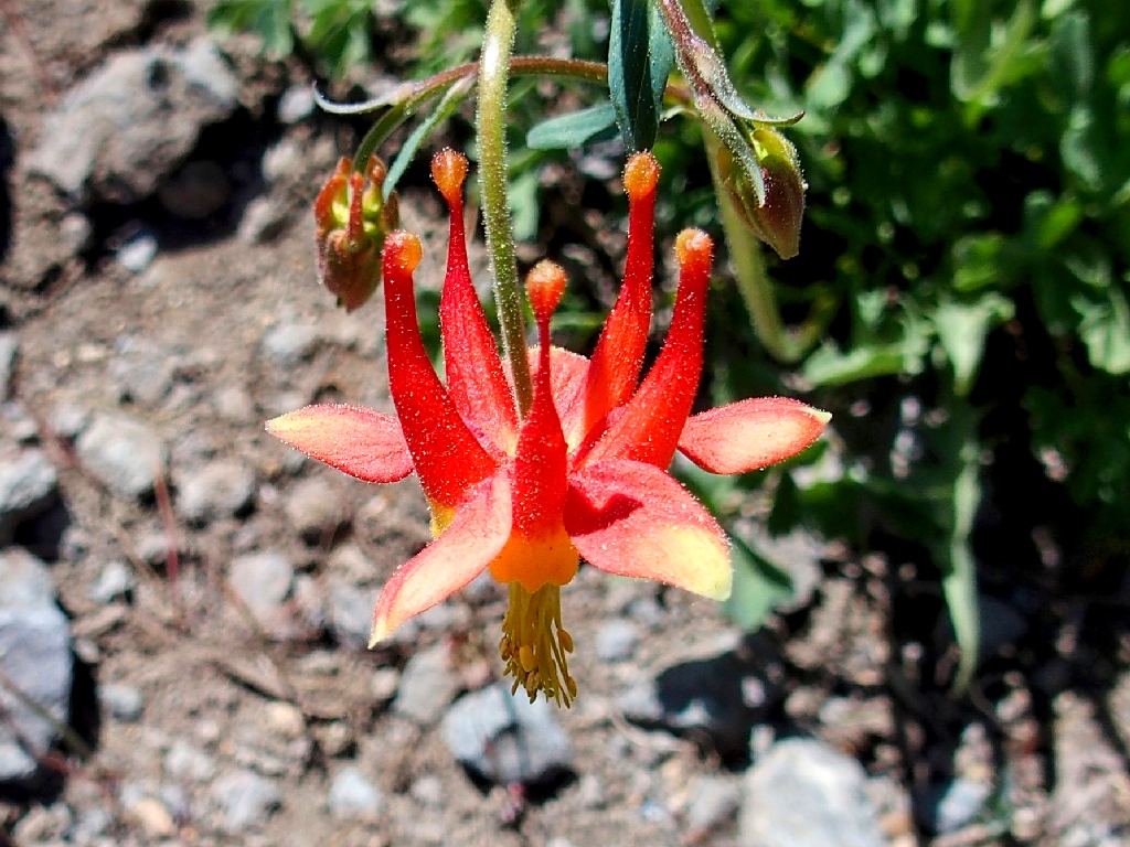
Crimson Columbine
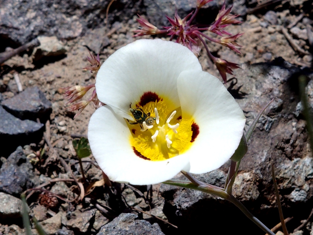
Leichtlin's Mariposa Lily
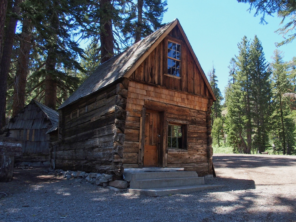
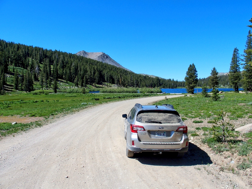
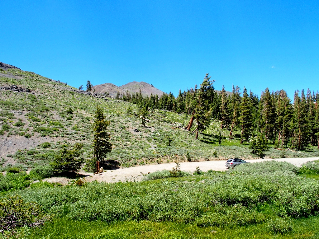
Some roadside history on the drive out
§: Well, nobody said that life would be easy in the Garden of Eden.
This outing would have merited a higher rating were it not for the difficulties with
the loose rock.
| Scenery |  |
| Difficulty |  |
| Personality |  |
| Adventure |  |
| Flowers |  |
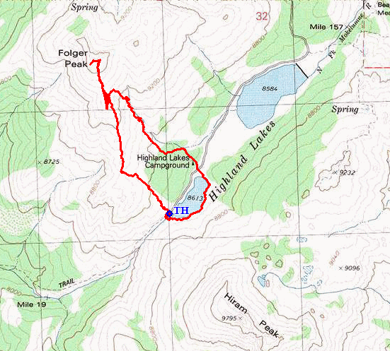
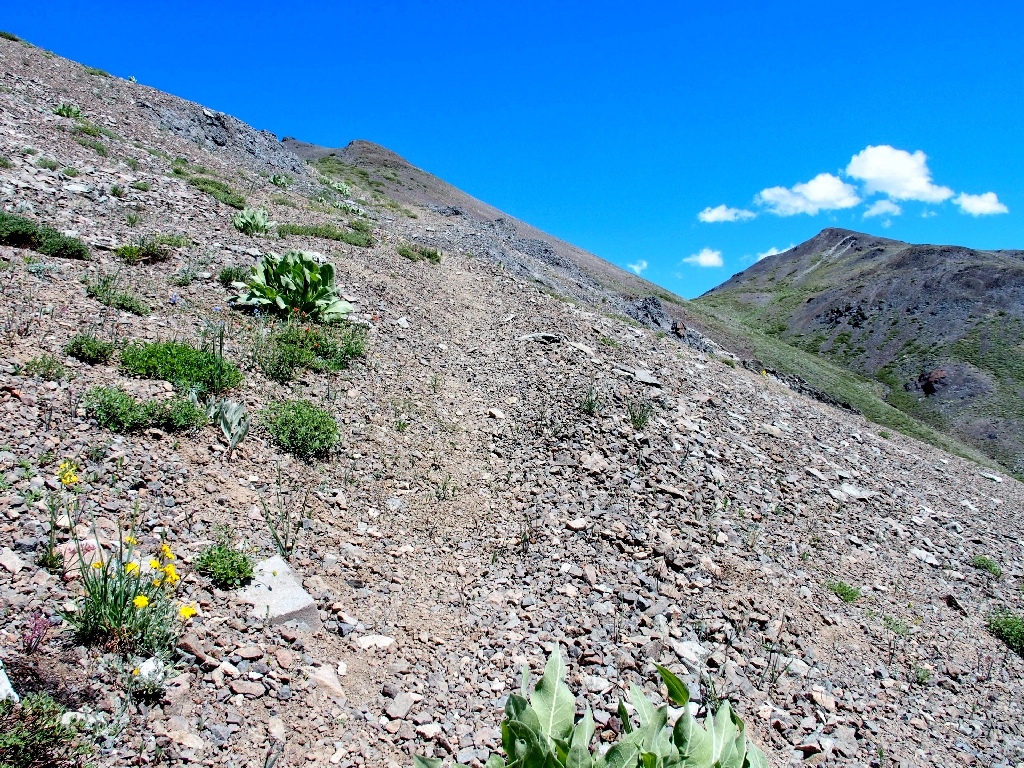
The route (clockwise)
