Desolation Wilderness
|
Rubicon Peak Desolation Wilderness |
June 14, 2021
Today's destination has been on my bucket list for a long time, partly because
it's a 130-mile drive. There being no official trail, the difficulty factor
is unknown; but I seriously doubt whether it will be necessary to blaze my own route for
the entire ascent of more than 2,000 feet.
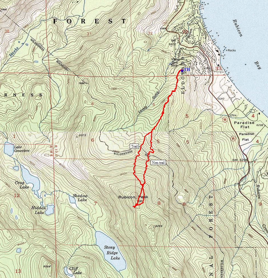
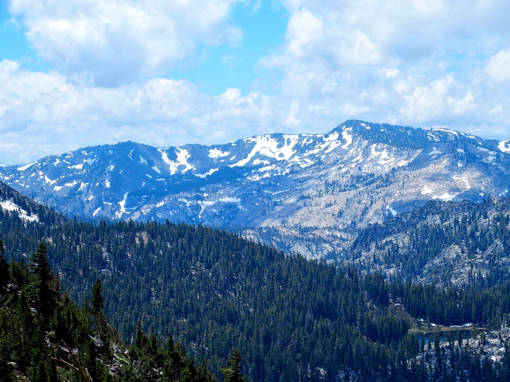
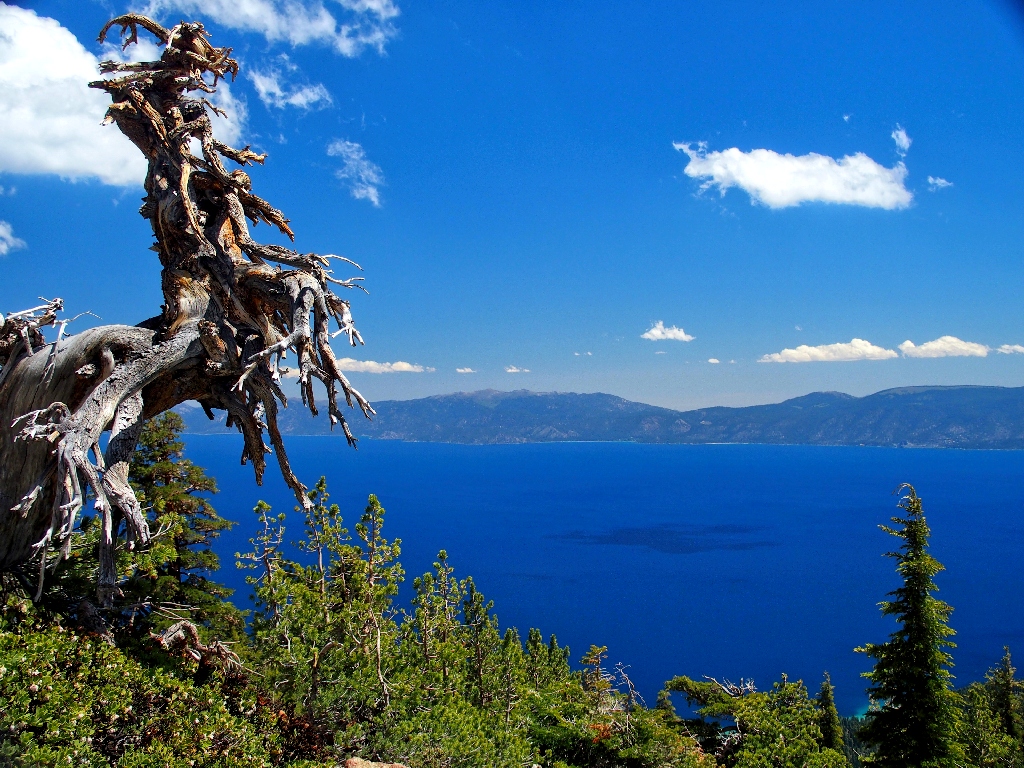
The objective is spotted a few miles from the trailhead
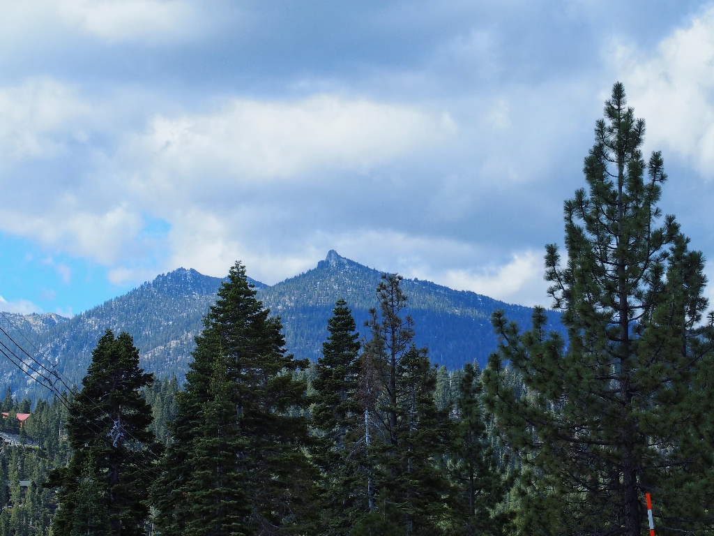
Some handy online directions lead me right to a little parking area at the top of a hilly subdivision near Meeks Bay.
Getting started
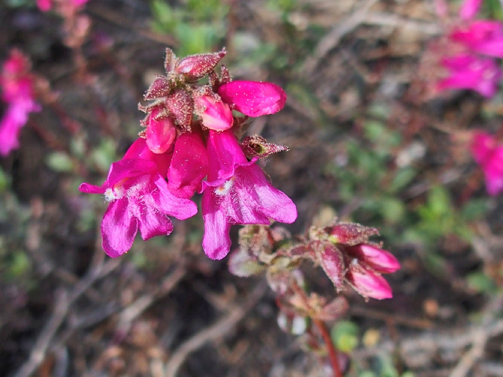
Mountain Pride
I have declined even to pack an outer shirt, assuming that the many clouds will dissipate over the course of the day; just in case, however, a plastic bag is available to protect my camera if necessary.
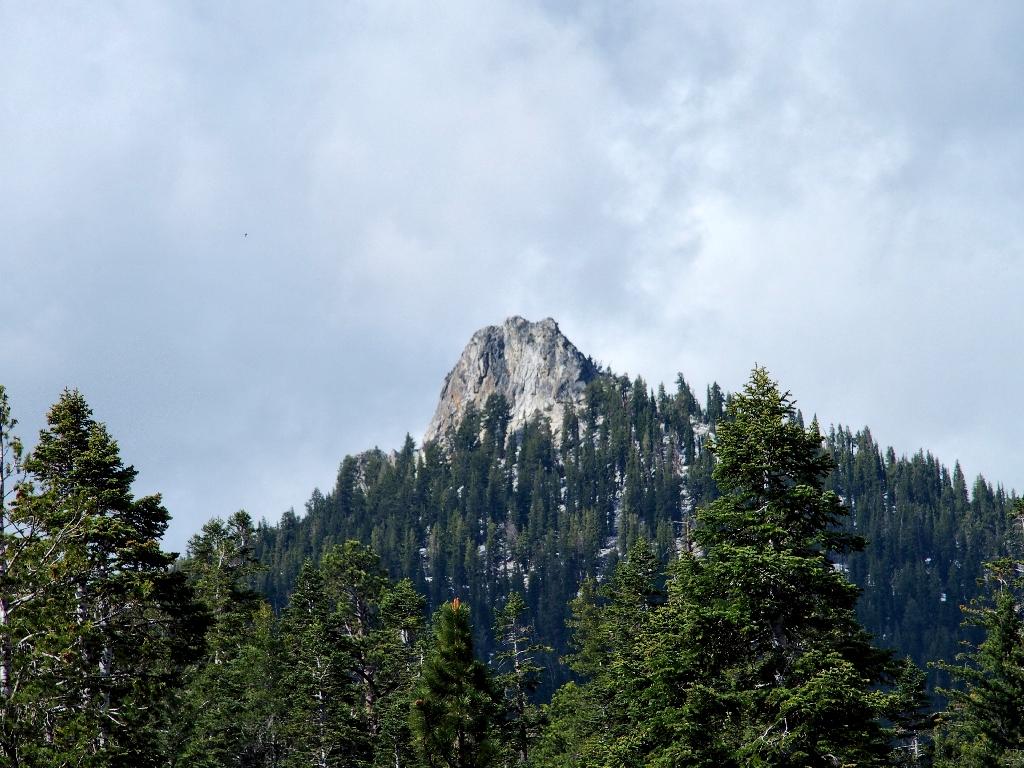
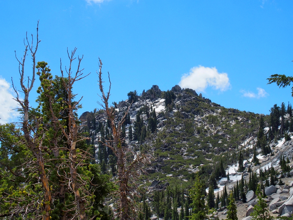
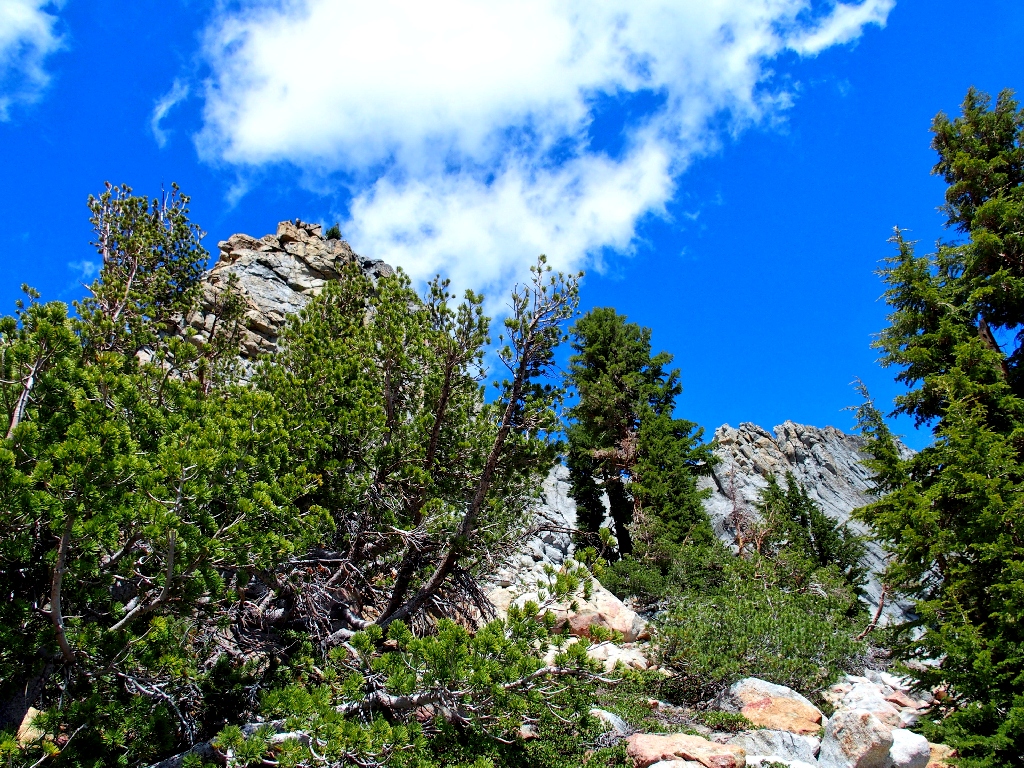
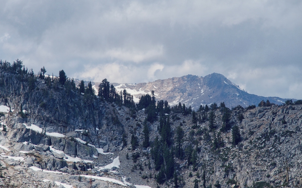
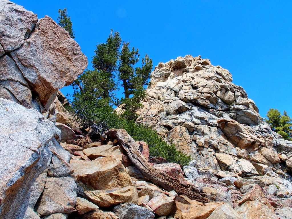
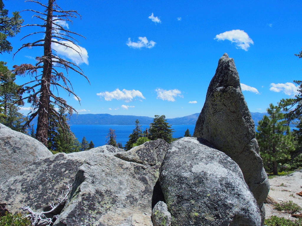
The Rubicon Peak summit block is rather imposing
In fact, it looks a bit too imposing, perhaps; but we'll see.
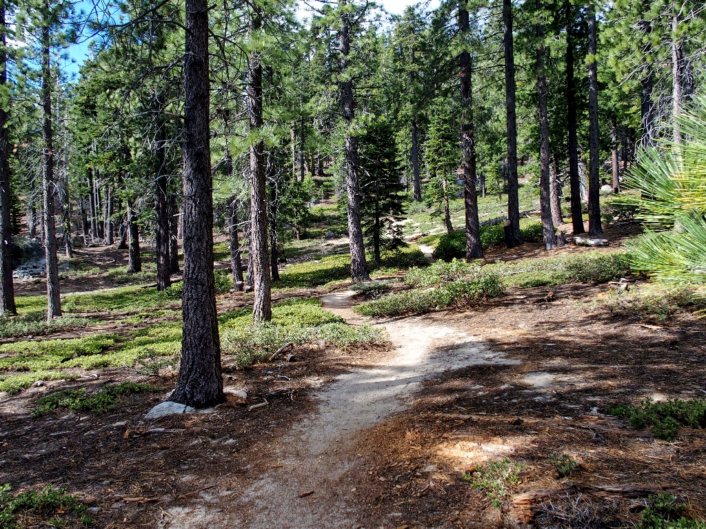
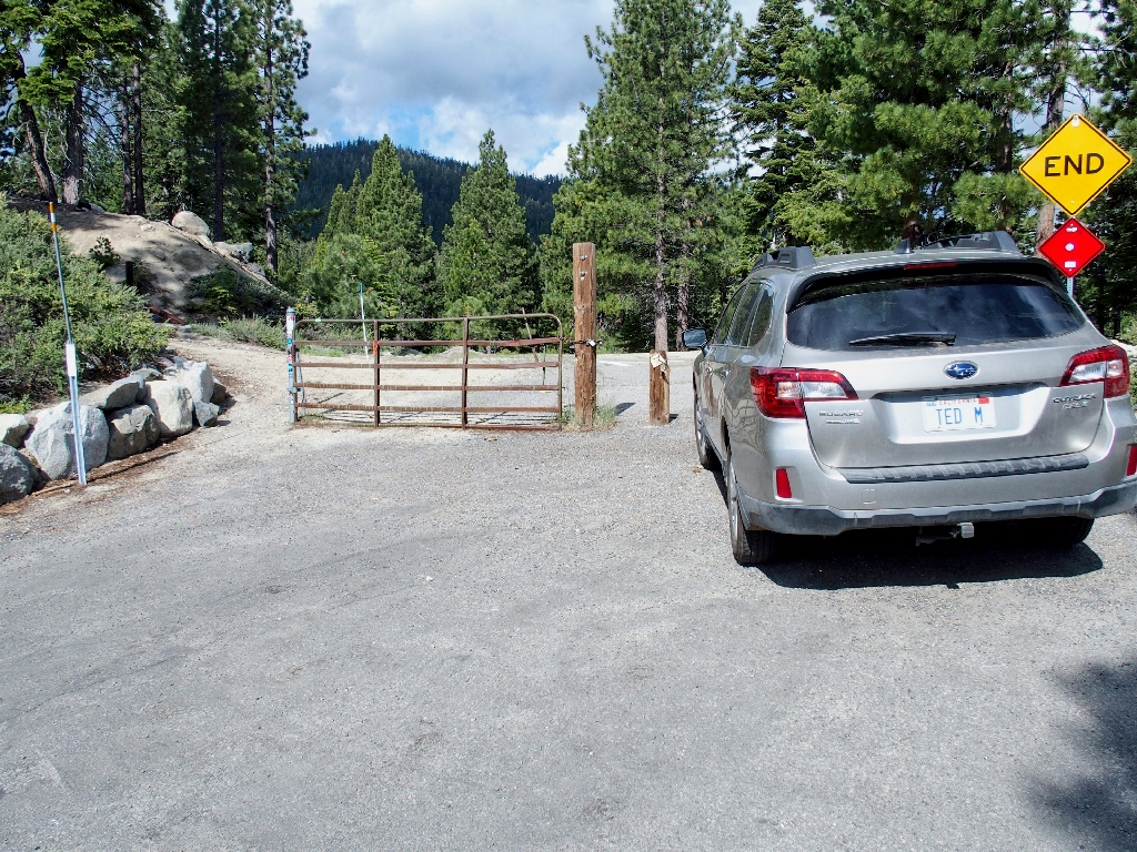
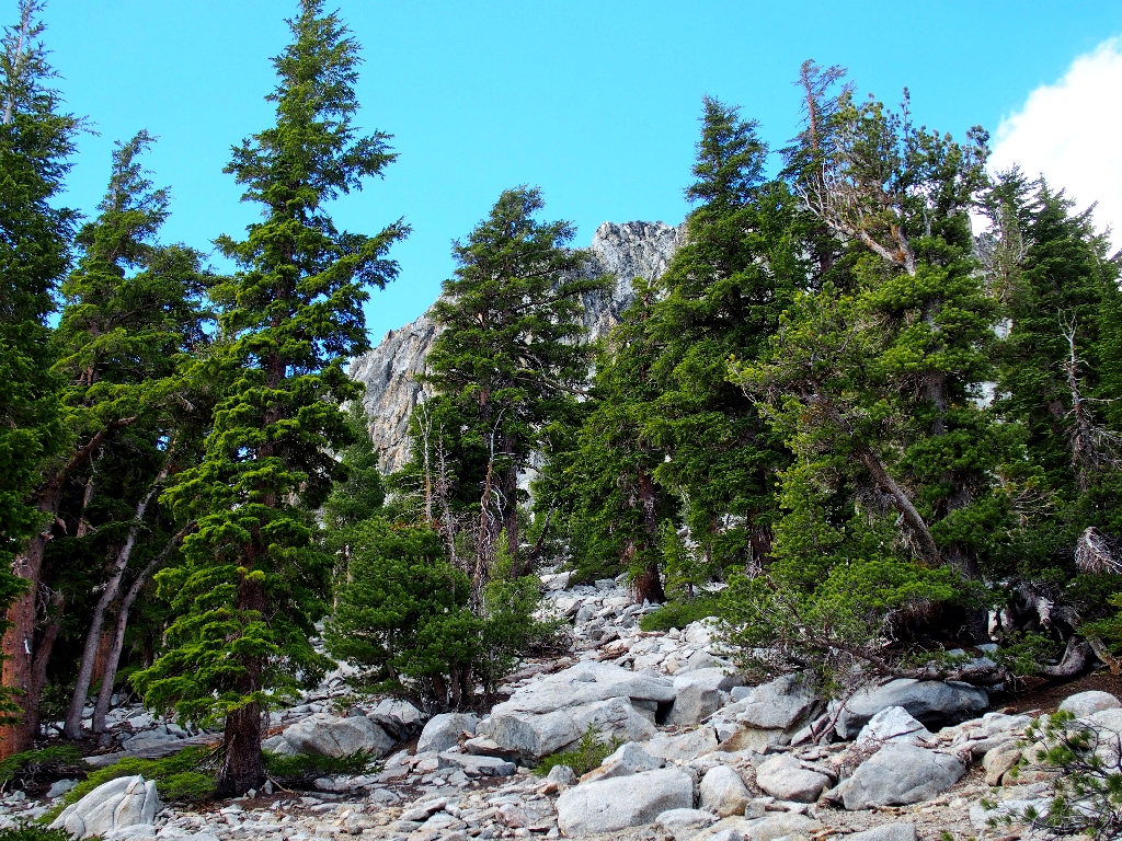
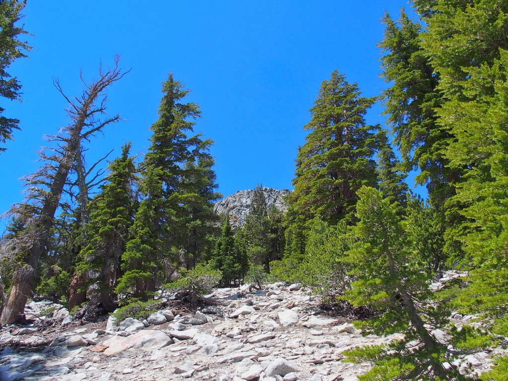
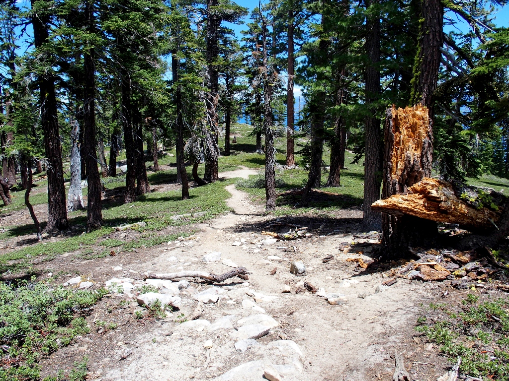
There is a trail, and it is surprisingly well-maintained
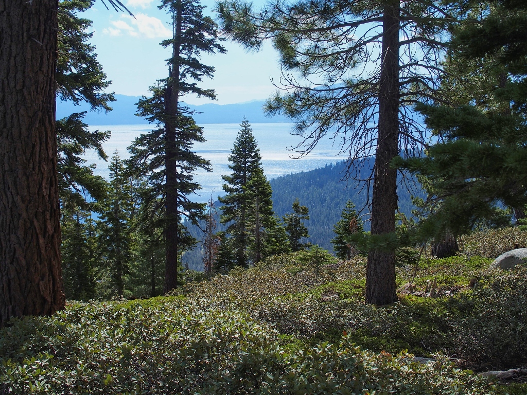
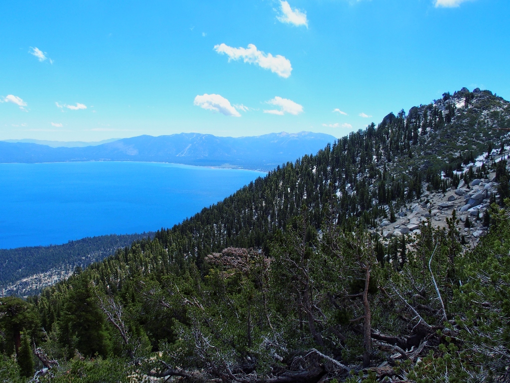
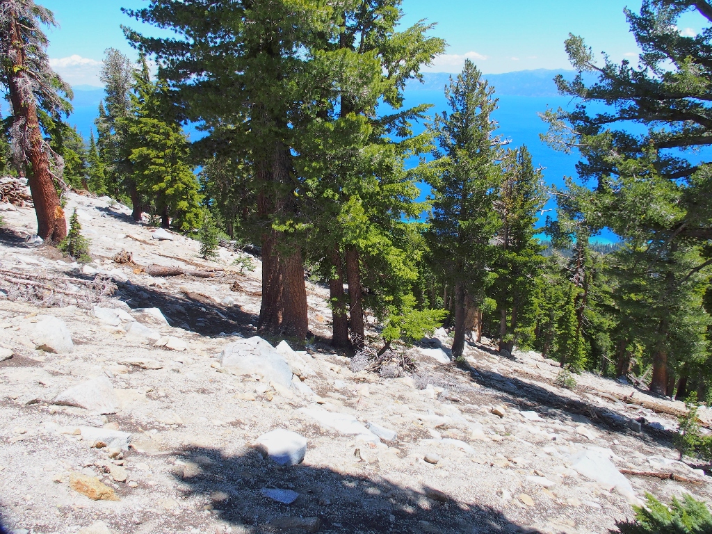
Views of Lake Tahoe are sporadic at best in the thick forest
I climb up about 800 feet before finally making a brief rest stop. From
here, the gradient becomes much steeper — as much as 20-25%.
Having ascended 1,600 feet now, I am hoping finally to end this somewhat enervating
slog through the dense forest and finally start enjoying some scenery. I don't
have to wait much longer.
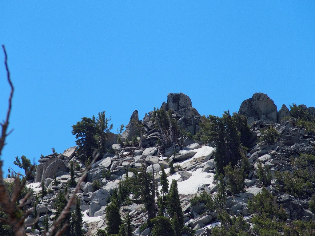
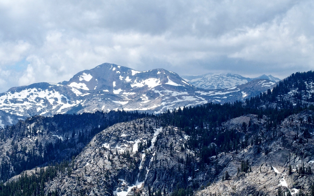
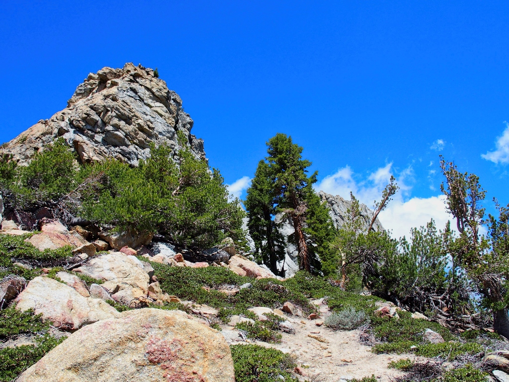
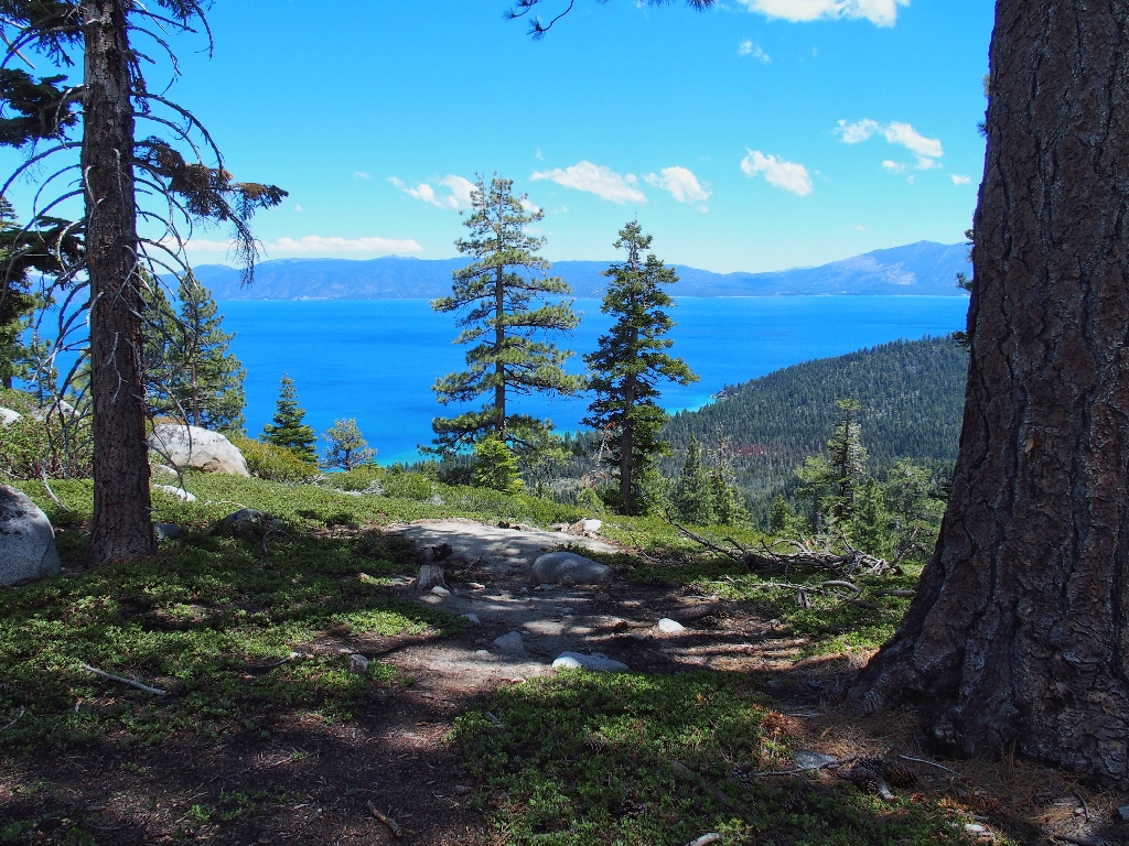
First view of the summit block
Suddenly, any semblance of a trail disappears completely. Having read that it will be necessary to traverse to the south side of the mountain in order to have any chance of achieving the summit, I just follow reasonable lines while continuing to climb steadily. I do encounter an occasional boot print, meaning that others have had the same idea. The slope becomes ever steeper and rougher, but I have come too far to give up now.
Peak 9269, half a mile south, is 86 feet taller. Go figure
Getting closer
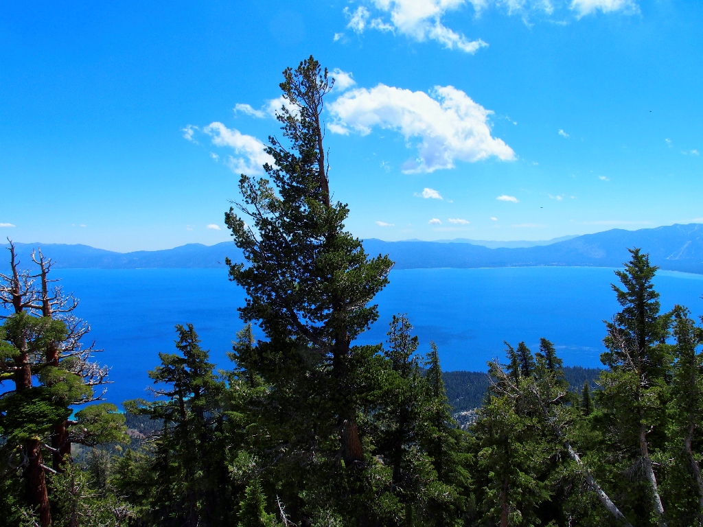
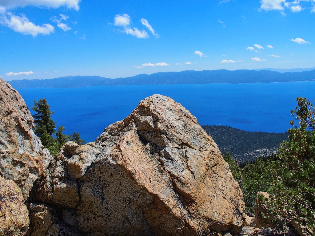
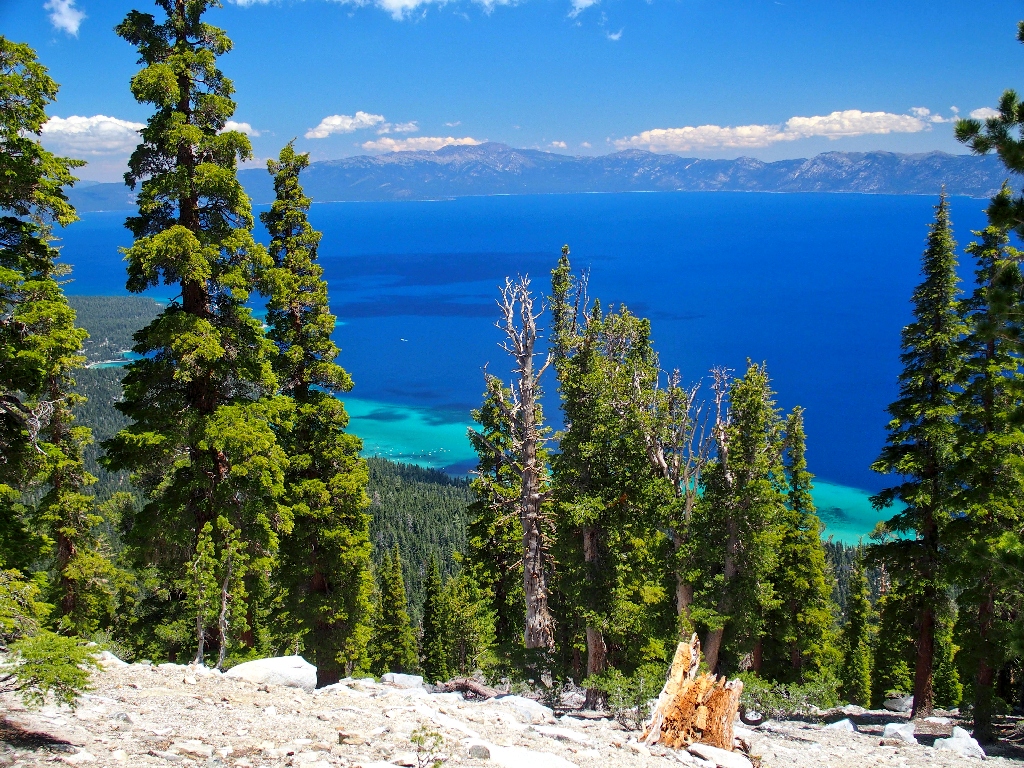
I finally achieve the saddle in anticipation of some great views to the west, and there they are! After descending a sandy slope on the other side to a good vantage point, virtually everything I see is in the Desolation Wilderness.
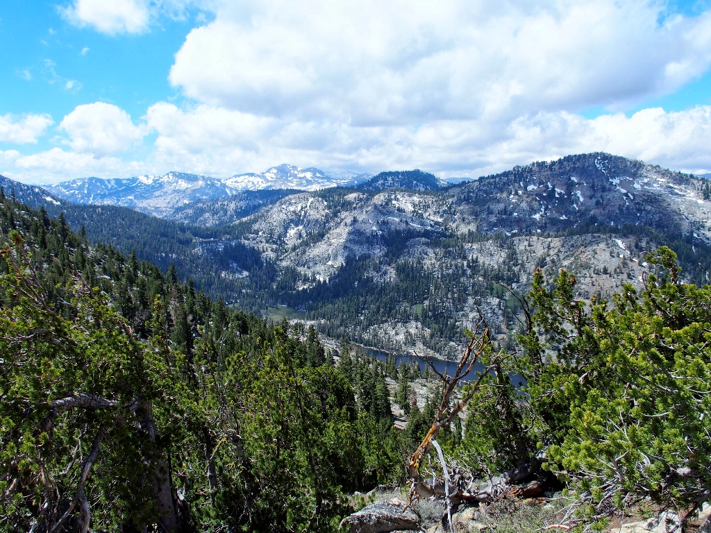
The Crystal Range above; Stony Ridge Lake below
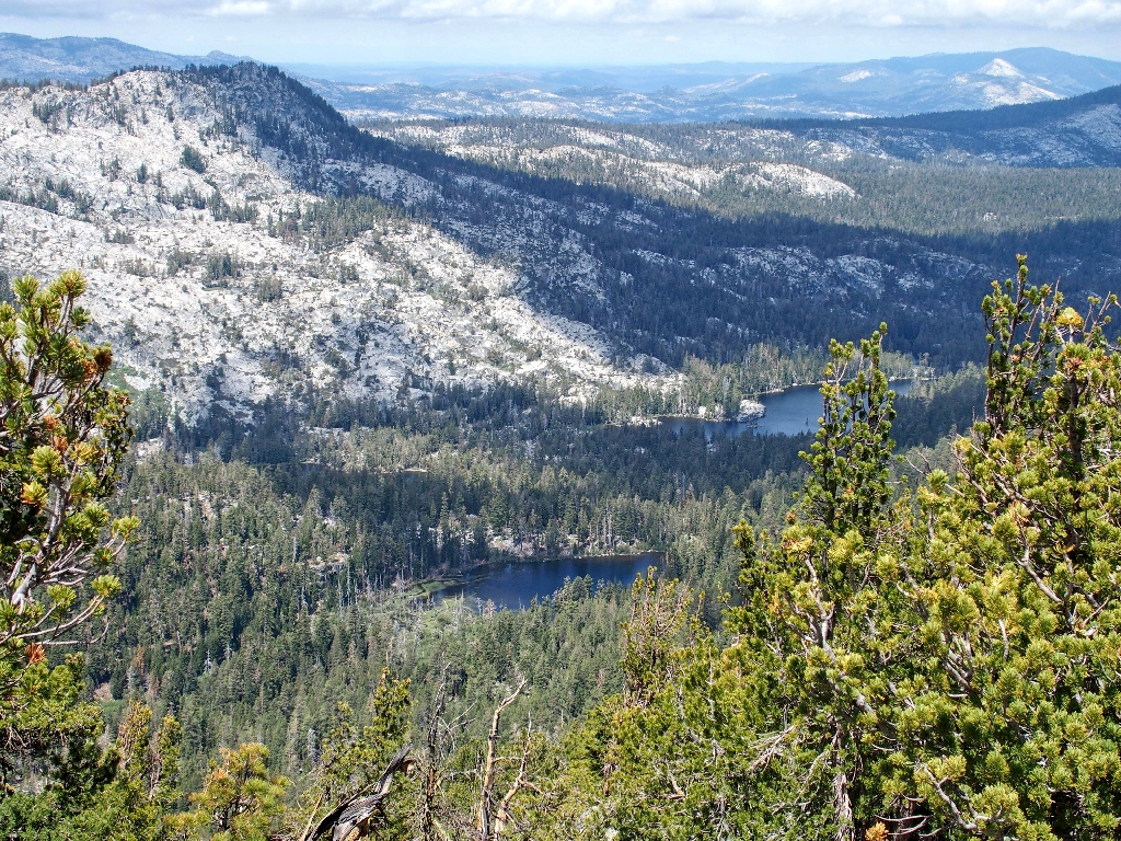
Shadow Lake and Crag Lake
Those three lakes, as well as many others in the area, are seen only by hikers
despite the fact that they lie just two GPS-miles or so from the shore of Lake Tahoe
itself. I visited Crag Lake previously, but not the others.
It is very pleasant up here right now, and presumably the hard part of the mission is behind me. It is time to have a snack and commune with the nearby flowers.
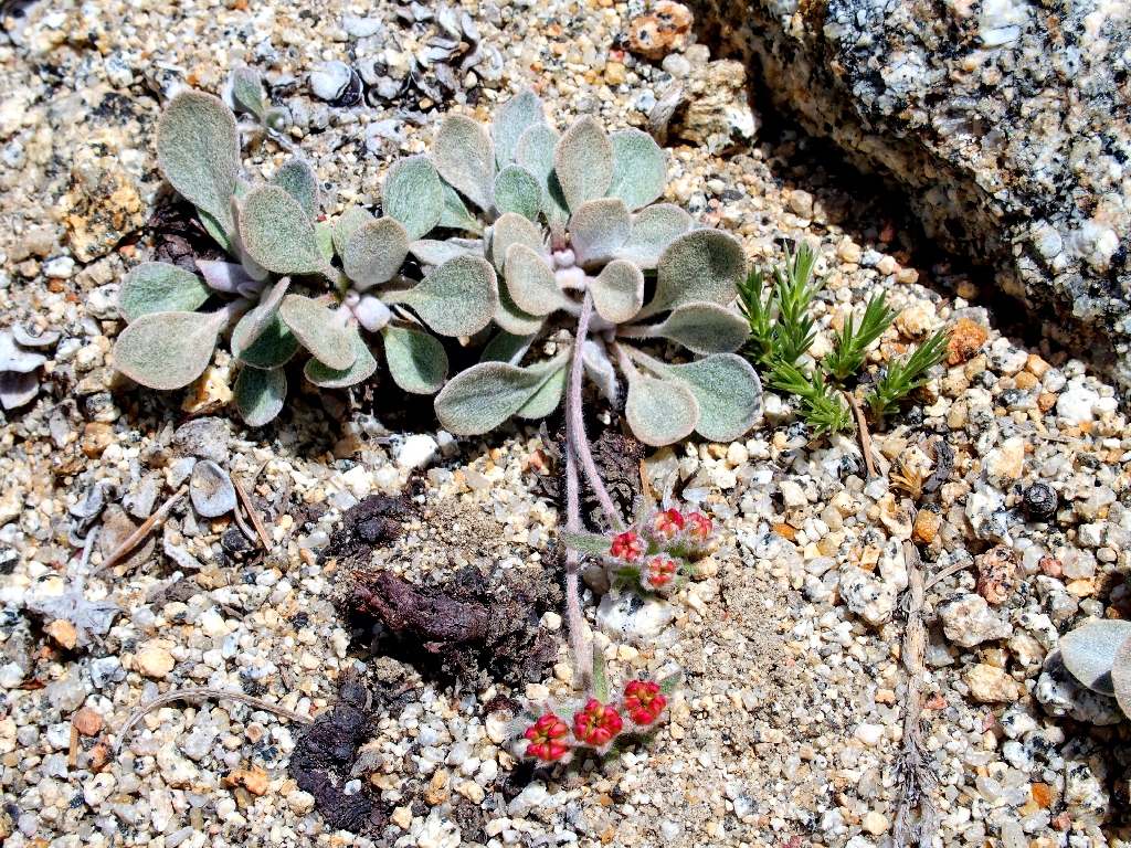
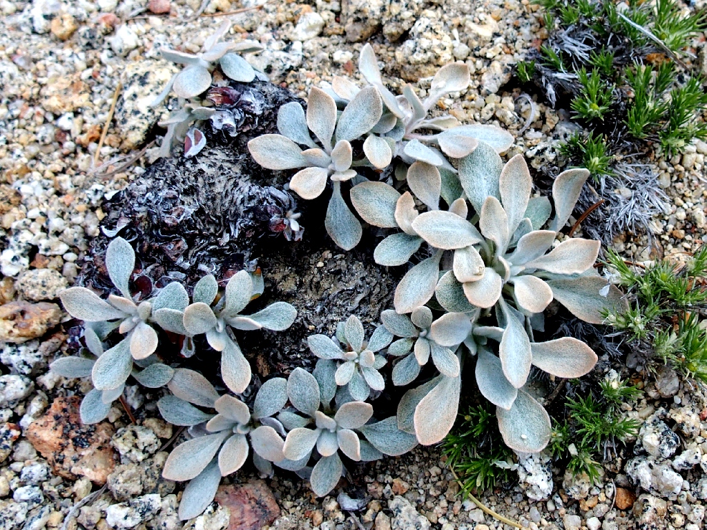
Lobb's Buckwheat
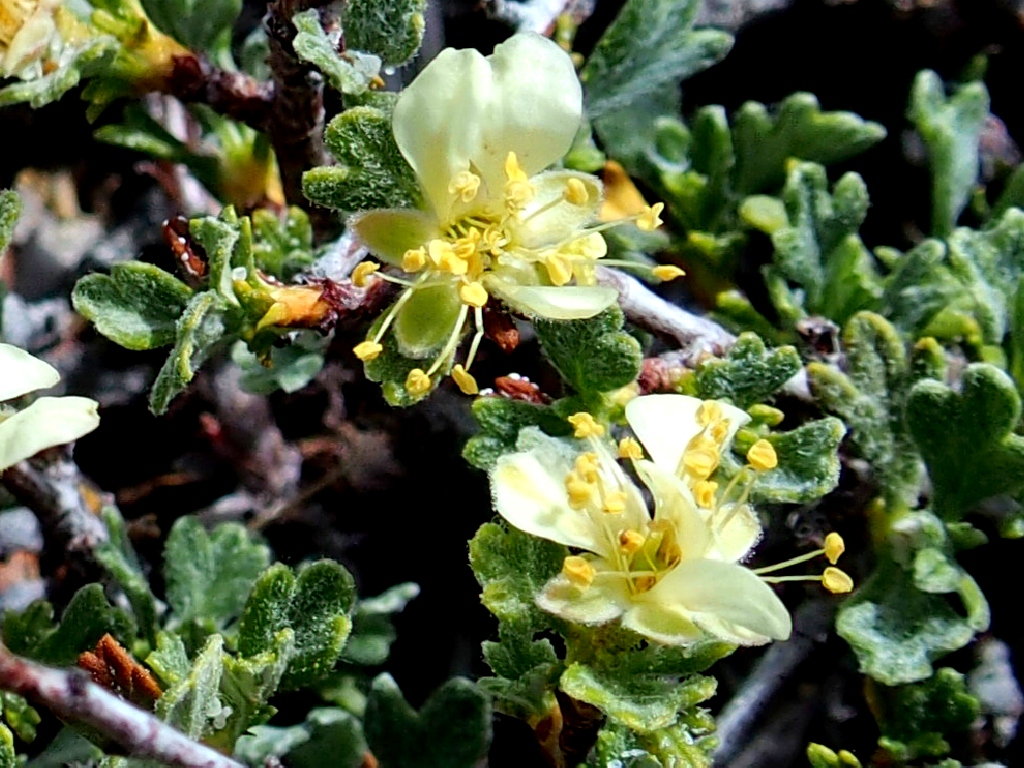
Bitterbrush
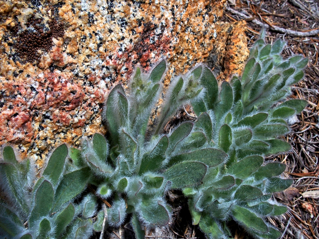
Prickly Hawkweed
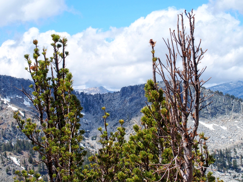
The nearby rock is accessible enough, but I will forgo an actual summit attempt
I'm not really a peak-bagger anyway, and that's my excuse.
In the distance is Freel Peak, the basin's highest
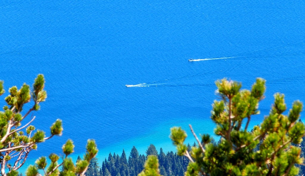
The two speedsters are nearly 3,000 feet below
I'm having more fun down here
Big Blue is, well, big and blue — all 37 trillion gallons of it
Fun time is over, however, because getting down this steep slope rates to be a somewhat hazardous affair. Loose rock, soft sand, rotting wood, and aging knees all will add to the difficulty.
Starting steeply down
Hoping to regain the established trail soon, I scramble downward toward one of my two prepared GPS waypoints, failing to recall my lengthy traverse of the mountain side on the way up, well above that waypoint.
Last view of the mountain
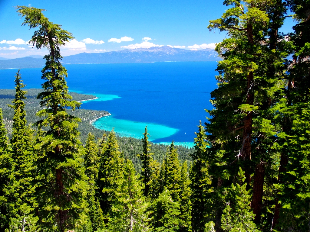
There are more important issues, however, than the precise location of the trail. The views of the lake below call for attachment of a camera polarizing filter, to enhance the contrast and reduce glare.
The amazing coloration is a Tahoe trademark, made possible by the shallow
white sand
I need a more unobstructed view. Aha! Here's one now.
This is why I go hiking
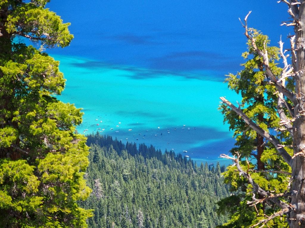
Rubicon Bay is plenty busy
Now my GPS says that I am but 0.2 miles from the map waypoint, but it is pointing down into a deep canyon. Something seems wrong, for I came up the trail well above Lonely Gulch. The going looks easier over to the right, so off I go in that direction.
Soon I am farther away from Waypoint #1, of course; so I opt to head for
Waypoint #2 instead, which is farther down the mountain. This results
in my having to negotiate not one, but two little creeks and their attendant willow
thickets; I really had not expected to do any actual bushwhacking today.
Finally, I shrug my shoulders and veer to the north, and soon the hunt is over after scrambling downhill fully 1,500 feet where no one has gone before.
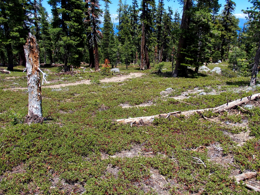
The reappearance of the trail is most welcome
Actually, the issue never was in doubt, because it was known that just continuing
downhill would get the job done eventually; but now I get to relax the rest of the
way, aware that nothing bad actually has happened — excepting, that is,
yet another old-age episode of miscalculation and faulty logic.
I actually encounter two other hikers near the end of the walk
Last view of the lake
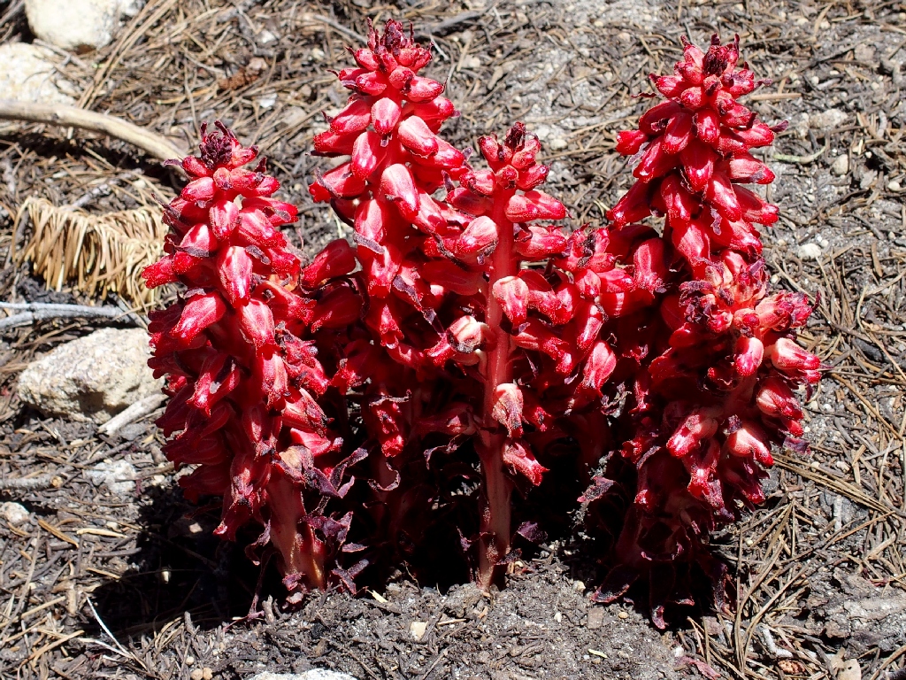
Snow Plants
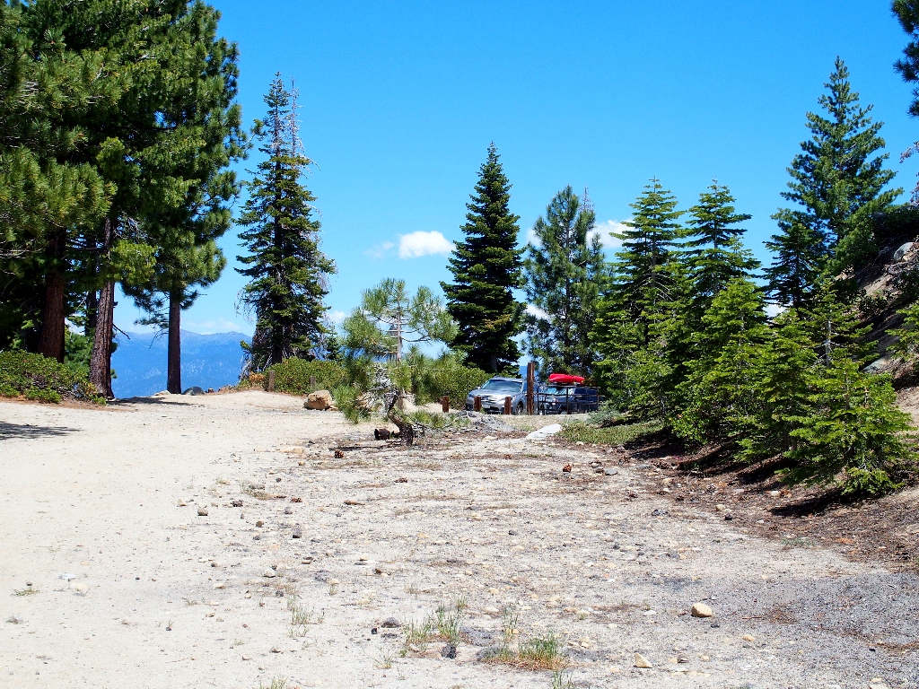
Back at the trailhead
§: Well, I did it my way. Surprise, surprise. Although the
trail itself was a relatively uninteresting "can't see the forest for the trees" slog,
the overall views were worth the climb. And in retrospect, it seems that there
might have been a fairly easy scramble to the summit by circling around from the
saddle to the far side of the mountain.
On the darker side: Ignoring the GPS waypoint might have made sense had it somehow
been mis-located on the map; but I forgot that on the way up, a reading had
shown me to be within a couple hundred feet of that very point. Stupid.
And if I had had my wits about me, I would have created a waypoint at the spot where
the trail disappeared; that would have enabled an easy retracement. There's a
lesson in that. And I'll never ignore my Foretrex 401 again.
| Scenery |  |
| Difficulty | |
| Personality |  |
| Adventure |  |
| Flowers | |