
Mount Tamalpais State Park
|
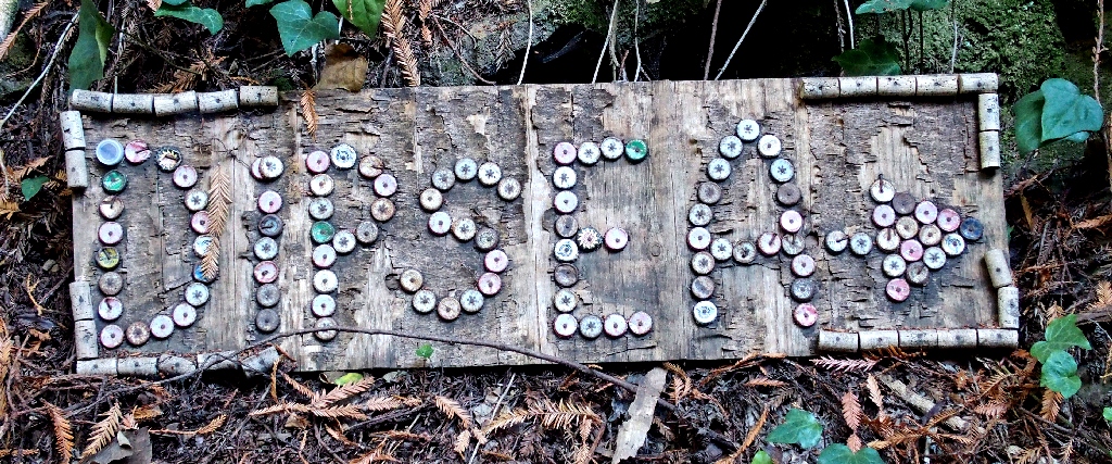
Dipsea Trail Mount Tamalpais State Park |
October 11, 2020
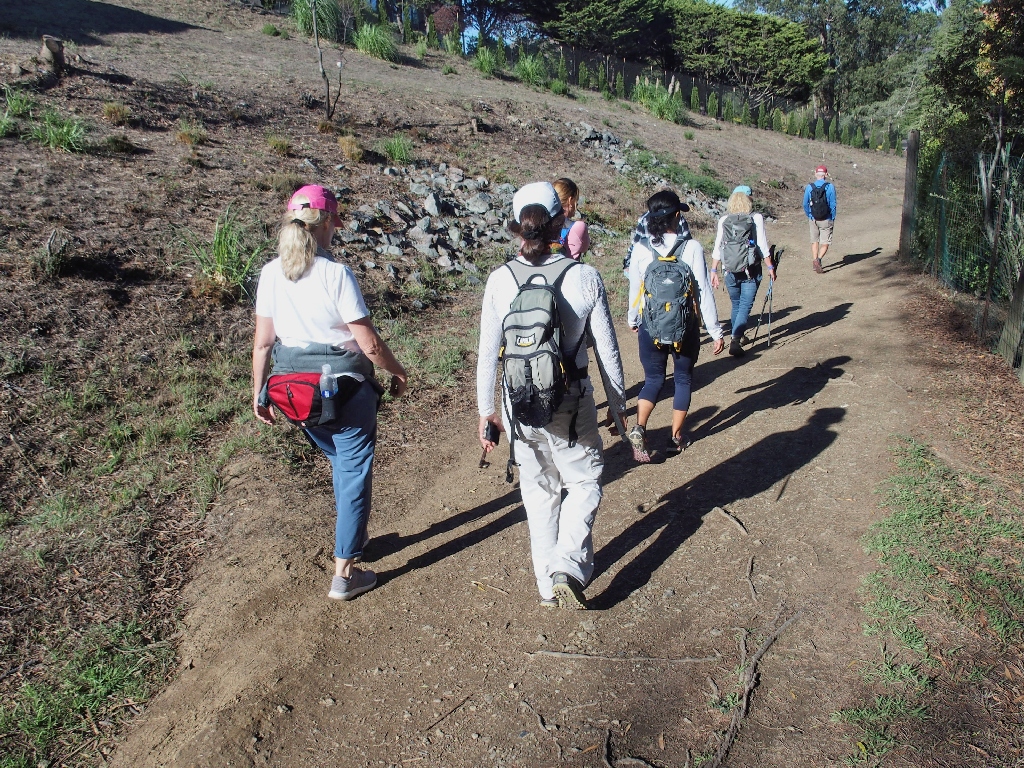
Having received email instructions to show up at a friend's house for a trip
over to hike the Marin County Dipsea Trail, I learn at that time that there actually
will be eight of us involved. Besides my frequent companions Eileen, Cindy, and
Lori, I will have the company of no fewer than four new acquaintances —
locals Jaff, Kathryn and Sima, plus Edith, a San Rafael resident.
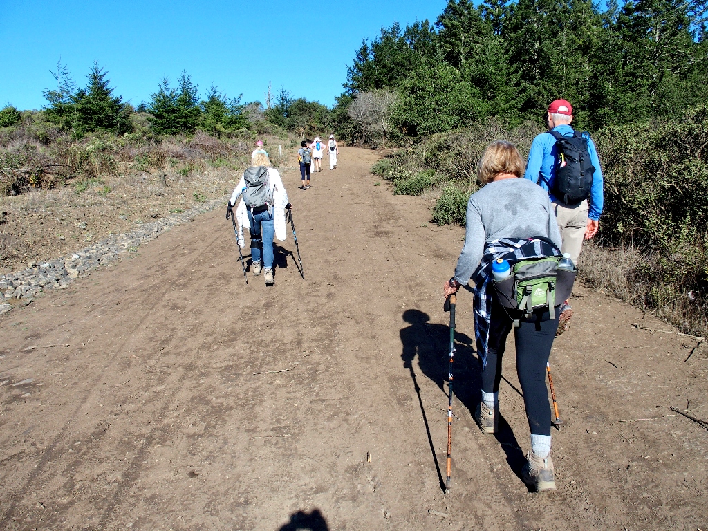
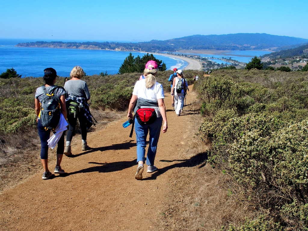
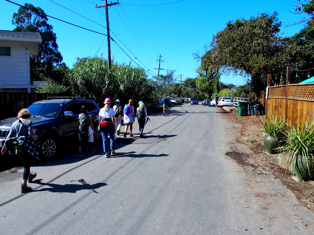
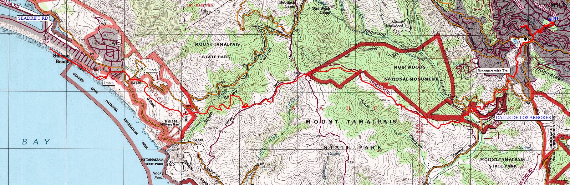
By about 8:30 a.m., we are at the trailhead, which happens to be a neighborhood
in the progressive little community of Mill Valley. Although I have hiked a portion
of the Dipsea Trail on two prior occasions, I have little idea of what to expect
today. Because I nearly always am the group leader, today I will happily let
someone else do all the planning; in fact, I have not even bothered to prepare a map
of this area.
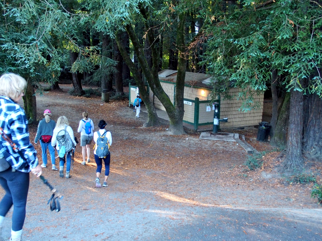
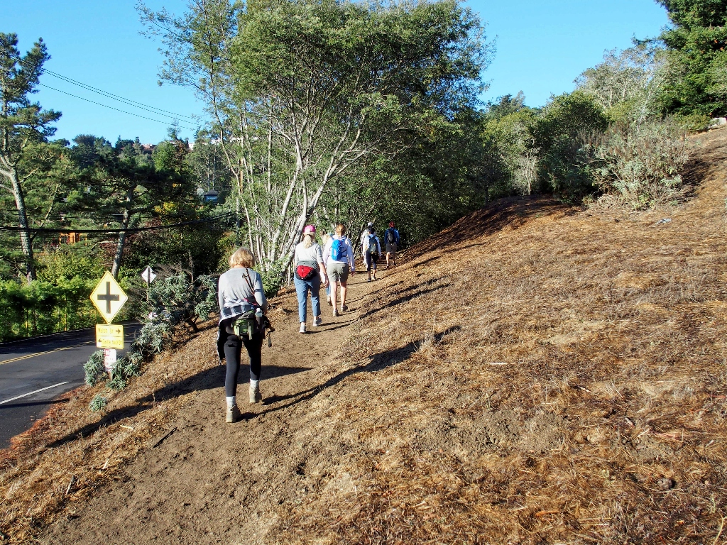
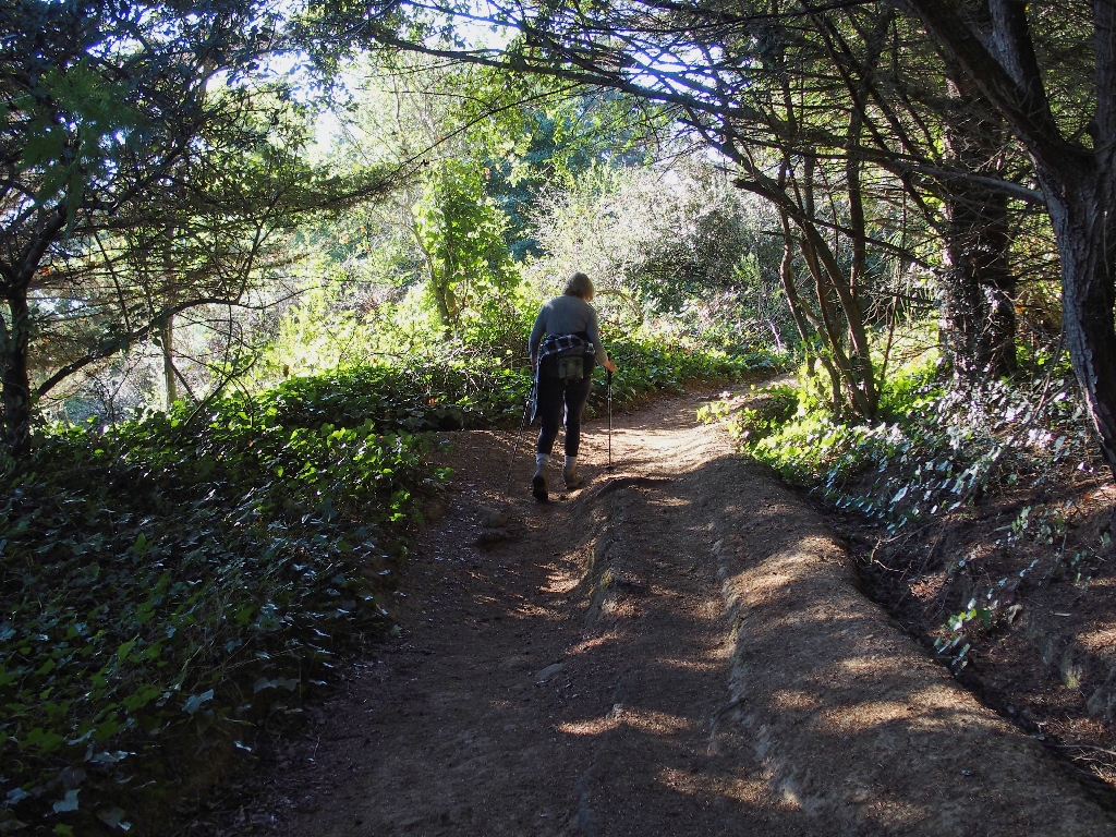
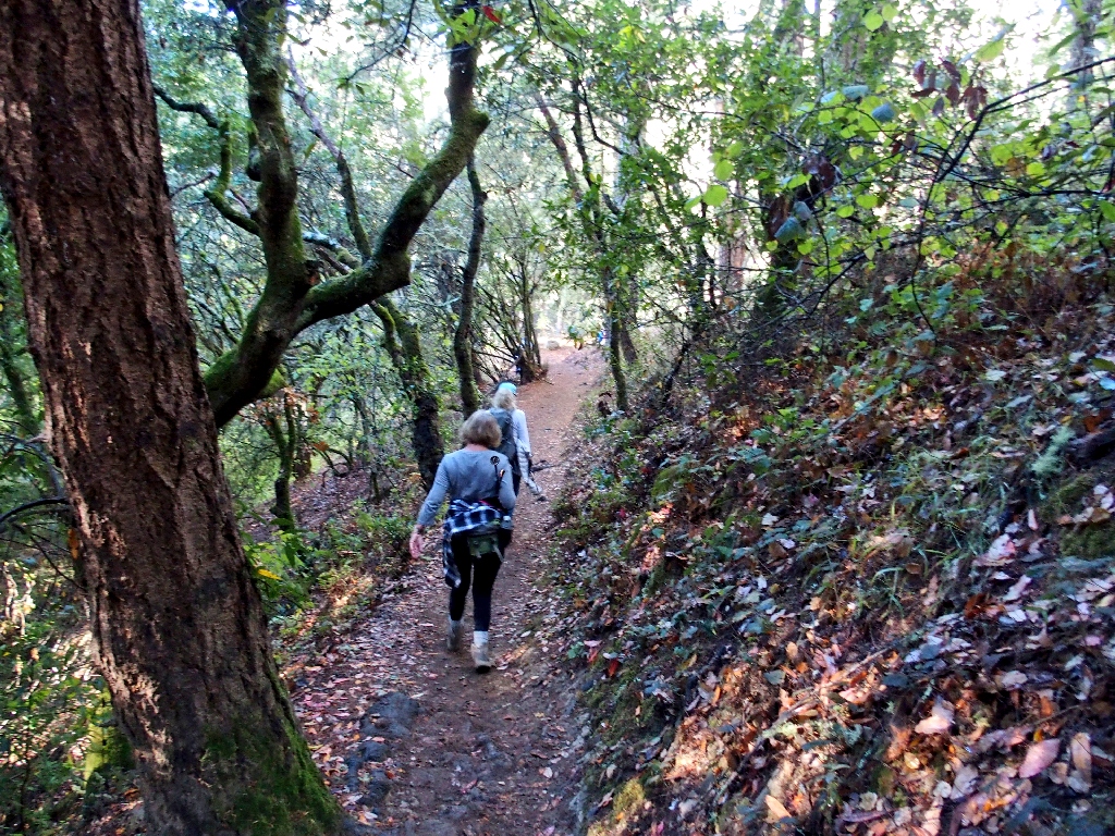
This walk will start at the usual place
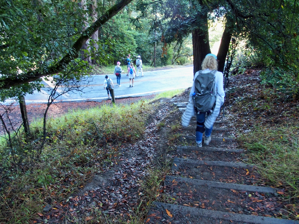
Starting out
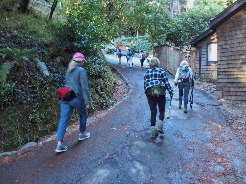
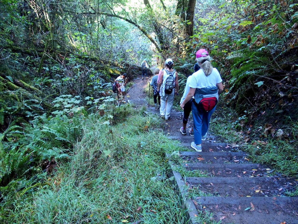
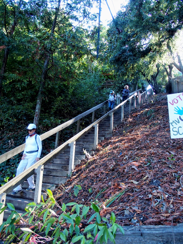
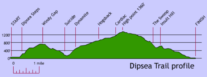
The first order of business is four-tenths of a mile of stairs to climb, for this town is built on the side of a steep hill.
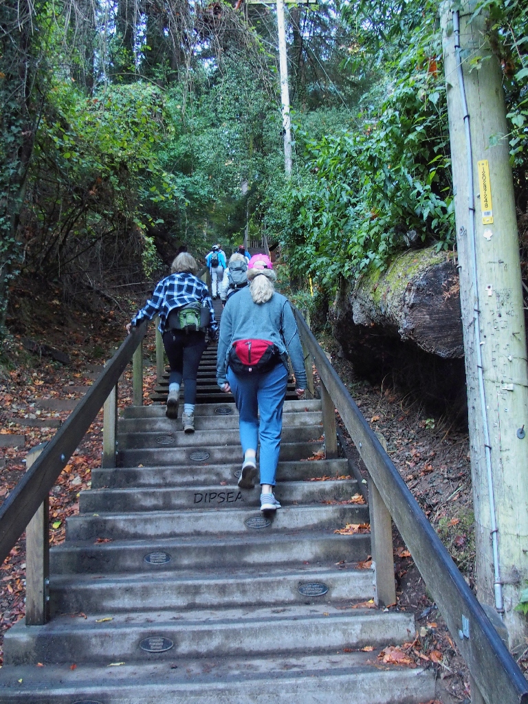
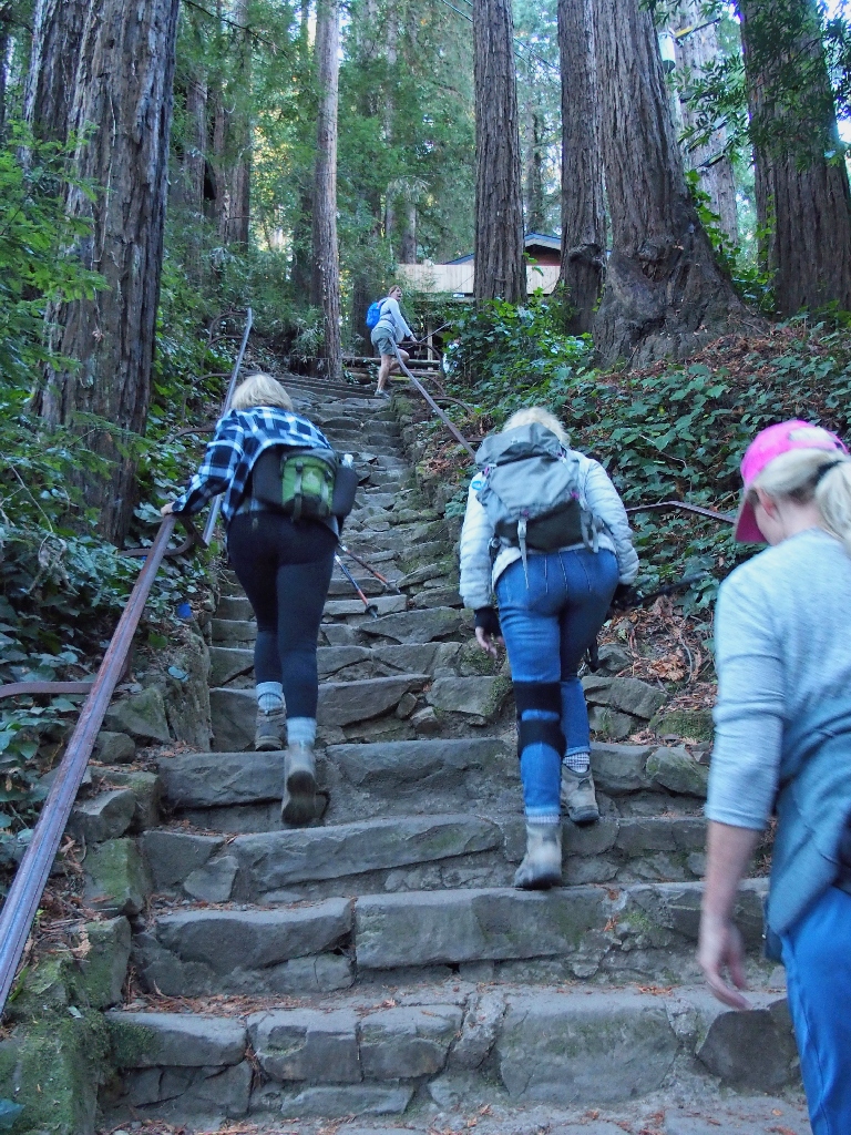
There are three sections comprising many hundreds of steps
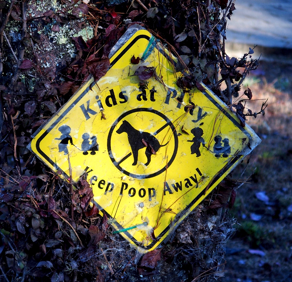
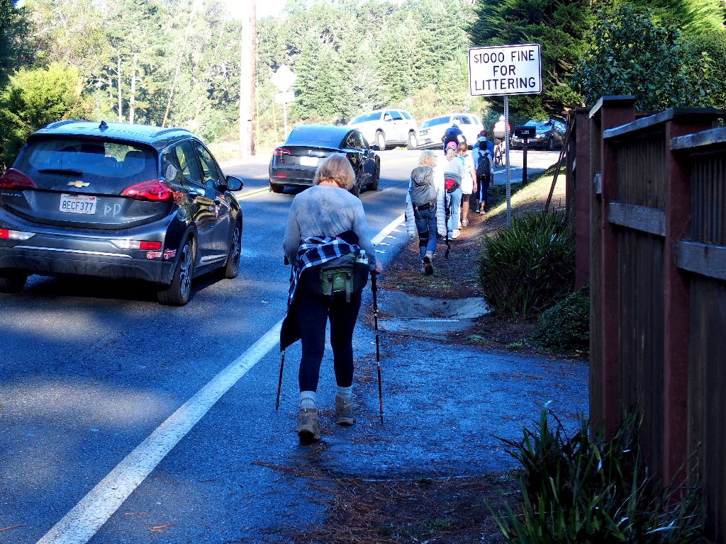
Roadways must be crossed in several places, but there always is a little sign pointing the way.
The preferred route is off the highway
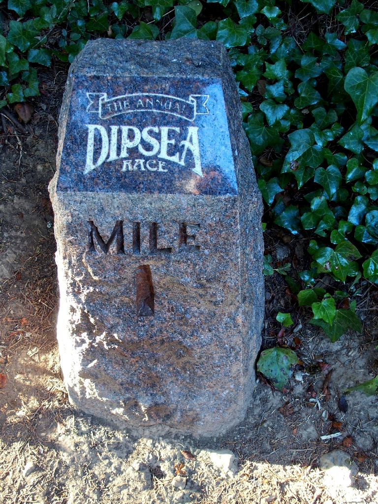
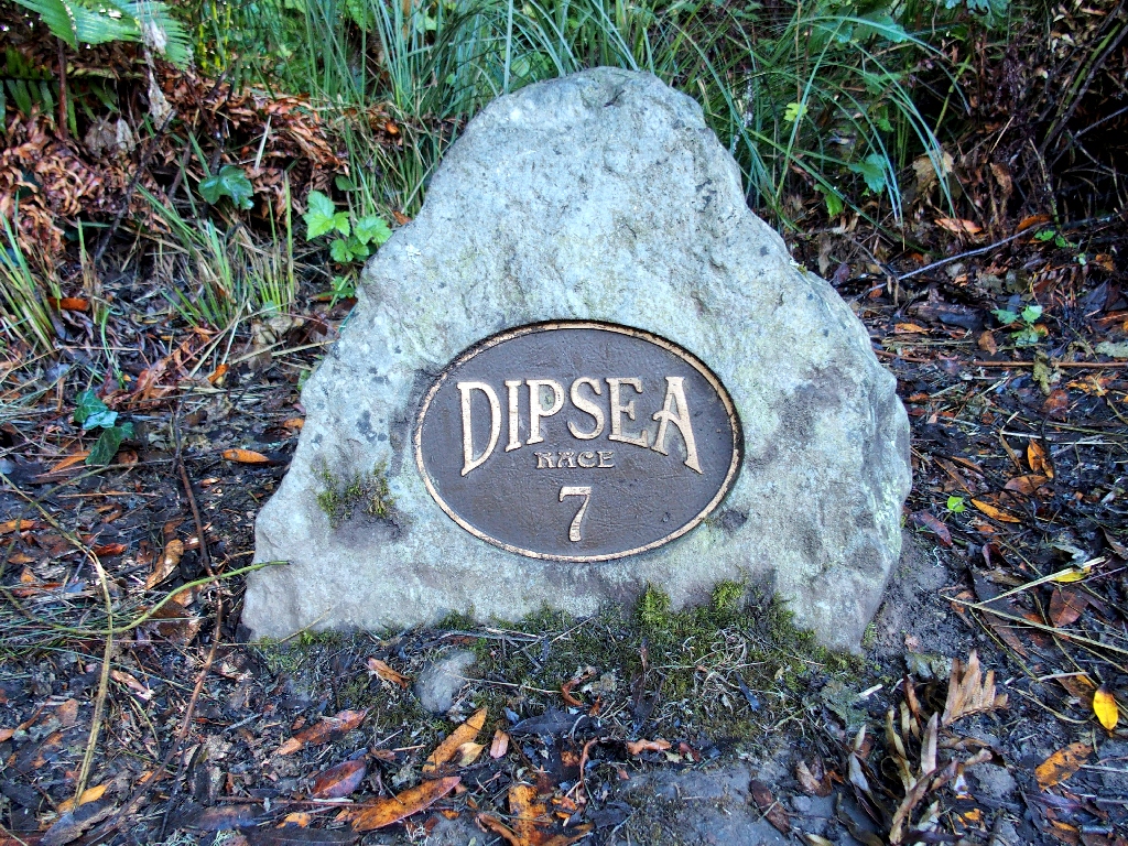
The annual Dipsea Race, 115 years old, is America's oldest trail-running
race. It also is frequently touted as America's second-oldest foot race,
which it is not (see Addendum). The event is considered by the locals to be
Marin County's 'Super Bowl'. Normally held in June, this year's competition was
cancelled due to the coronavirus.
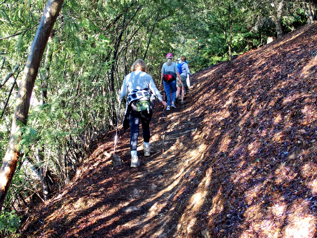
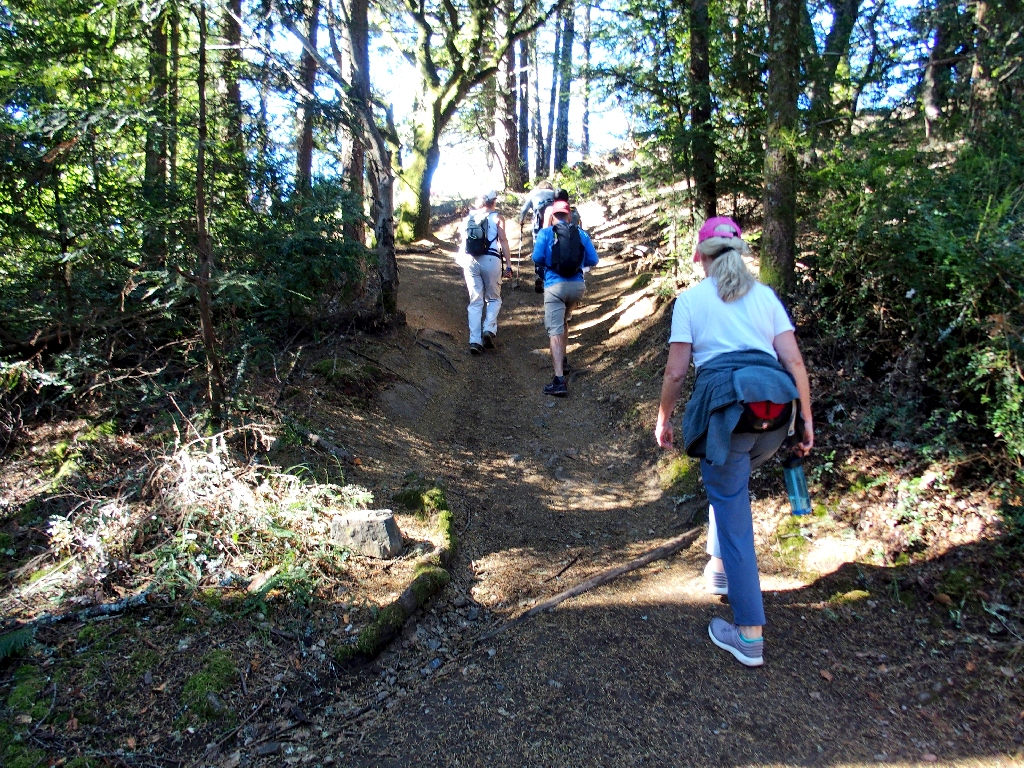
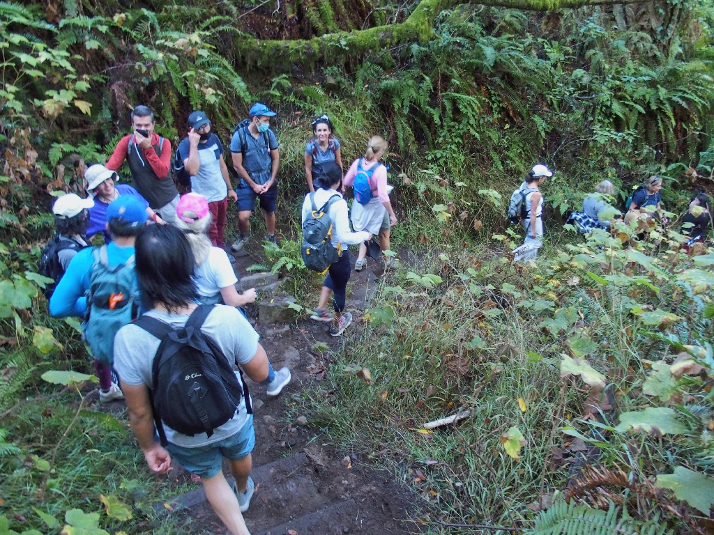
As usual, I am lagging behind for picture-taking
That's a new one
Presently we must cross a busy highway at a point that would prove key to our outing later.
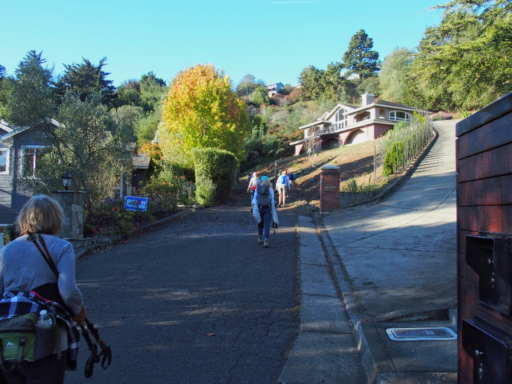
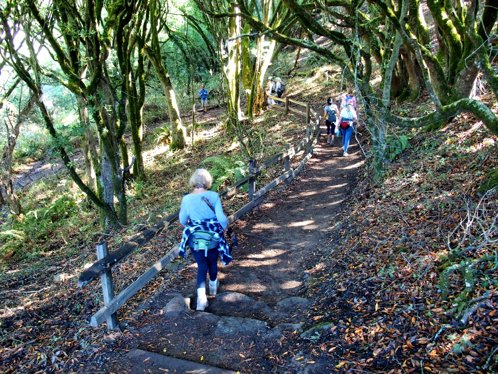
The trail morphs into Panoramic Drive briefly
We seem to be headed for Muir Woods
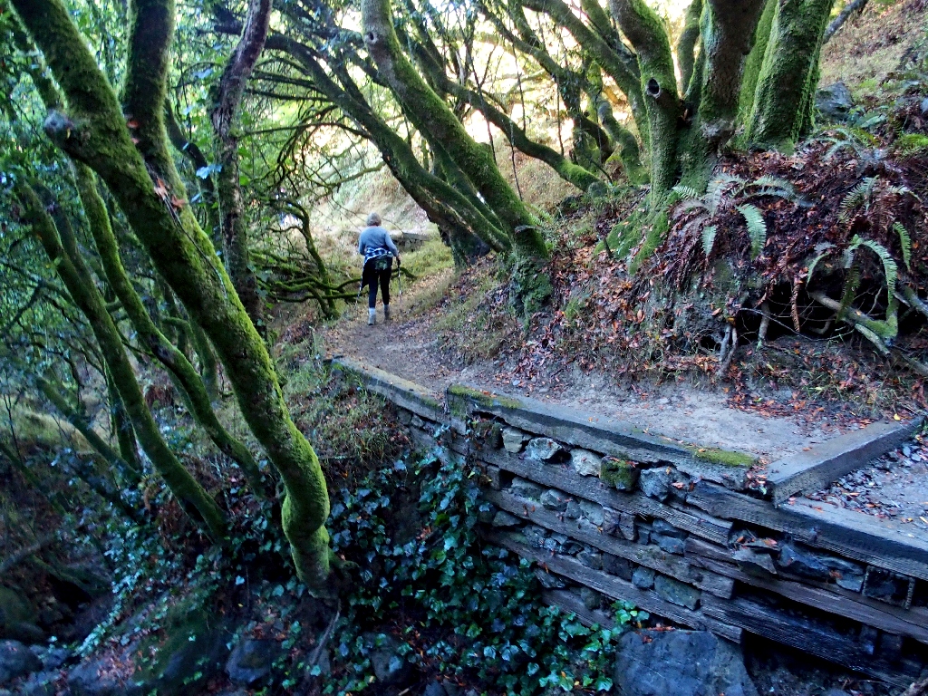
One of the most scenic sections
One of the least scenic sections
We three old-timers are lagging a bit
Yep. Here's the entrance to Muir Woods, but I don't know how much of the forest we actually will see.
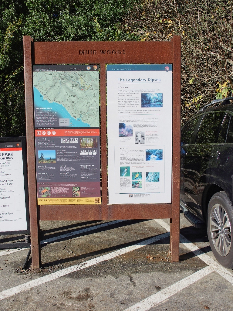
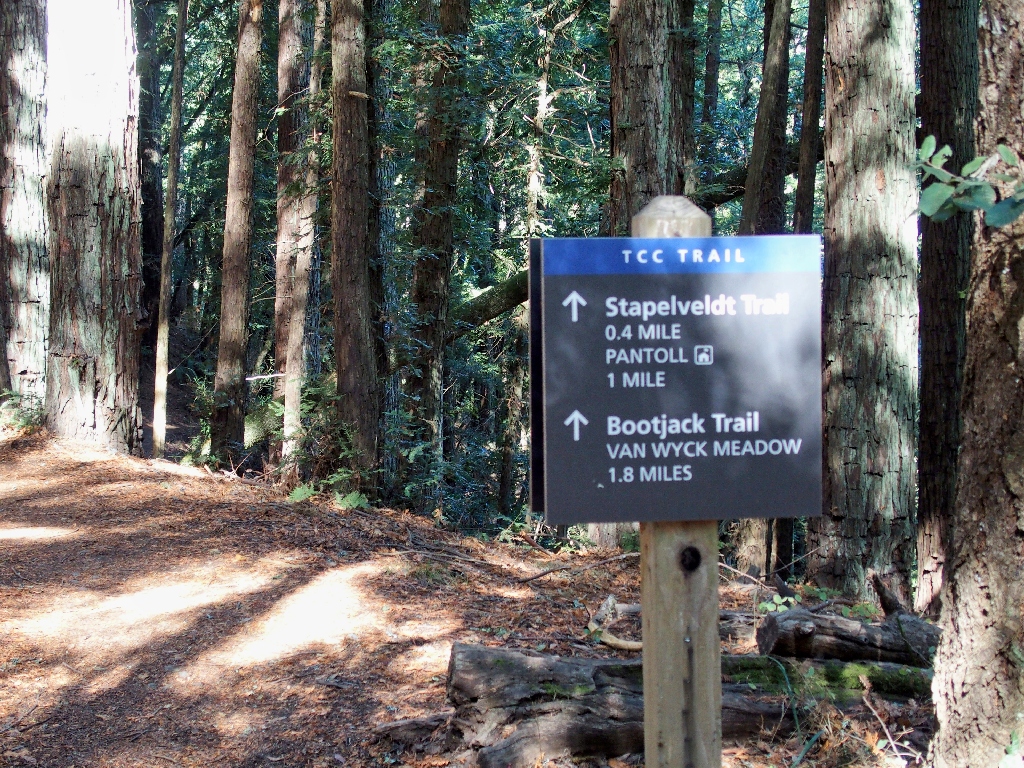
Some of the trail specs on the signpost are wrong (see Addendum)
Well, it seems that our trail will bypass the monument almost totally; that's too bad, because I would love to visit it again, and I will.
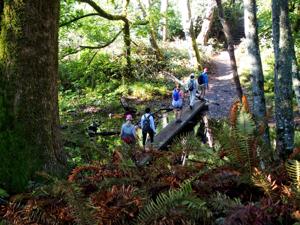
The Redwook Creek Bridge usually is removed during the winter
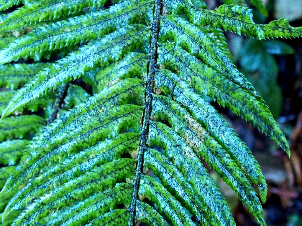
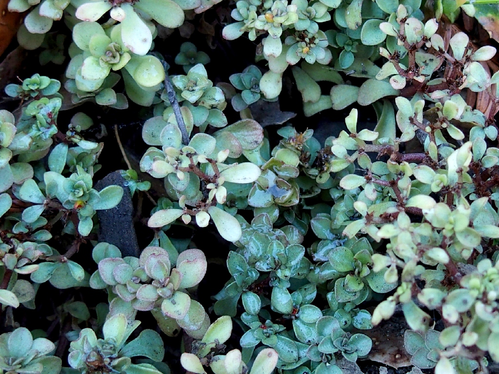
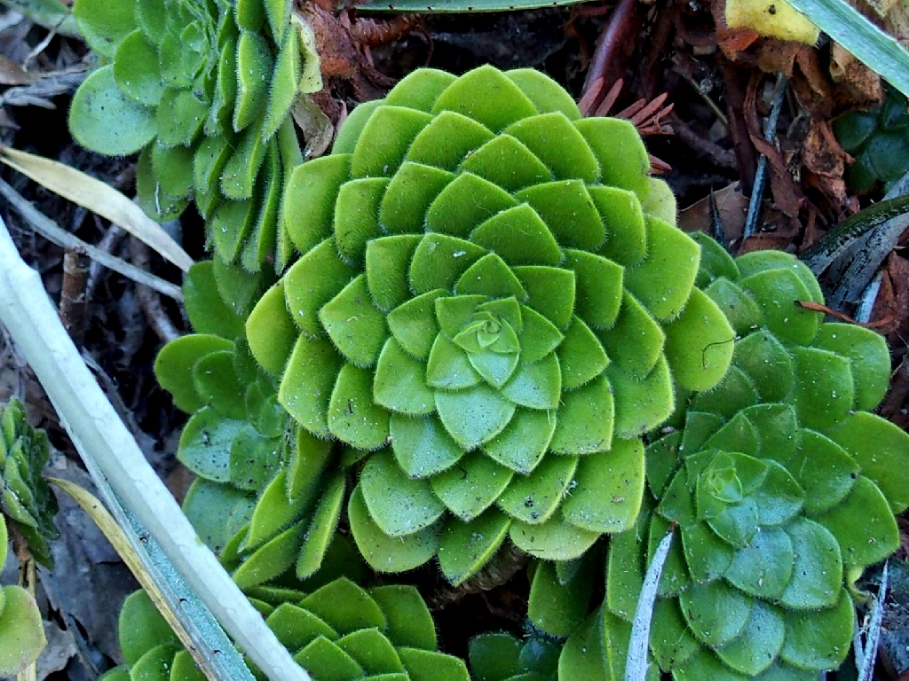
Western Swordfern
They opt for the road instead of the trail. Pshaw
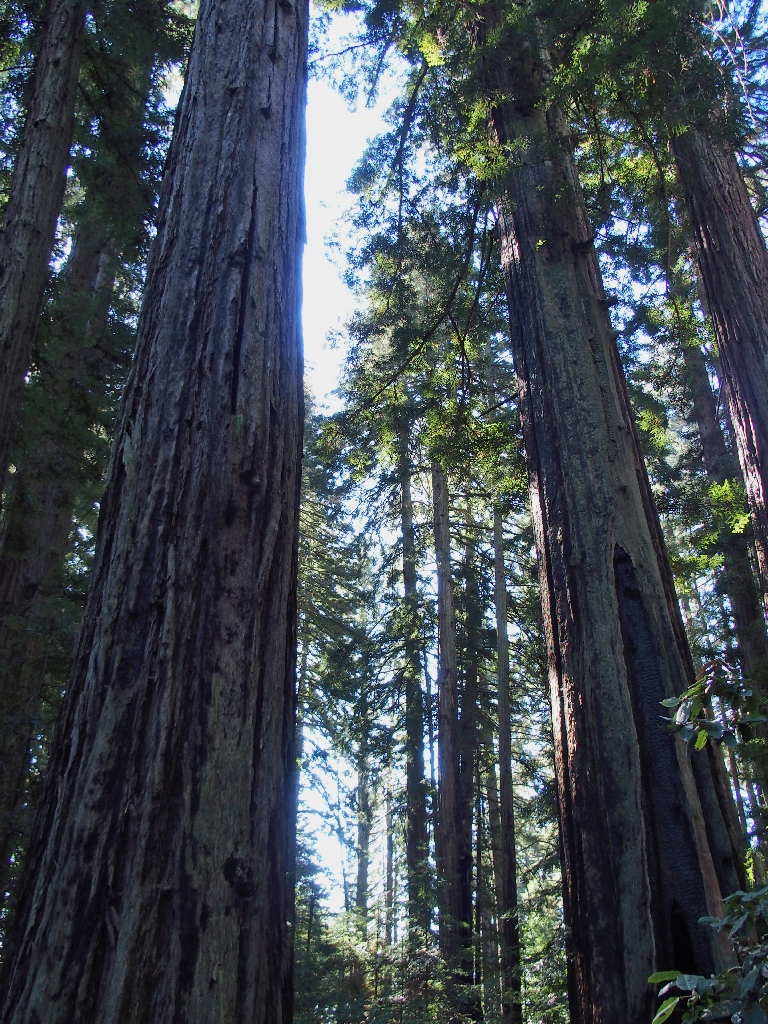
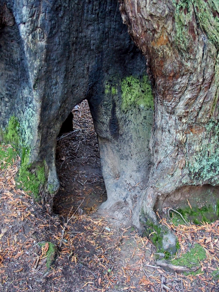
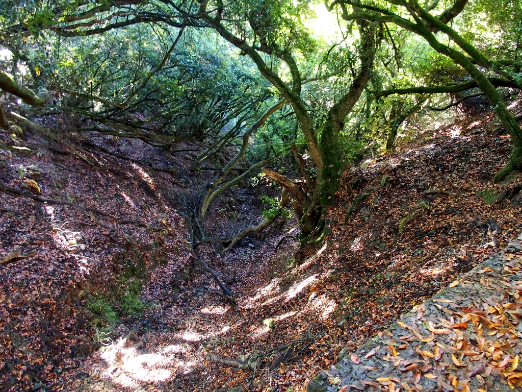
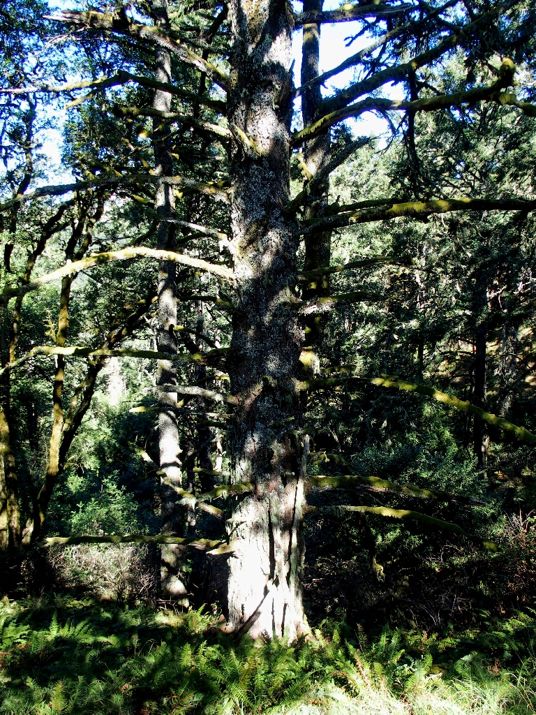
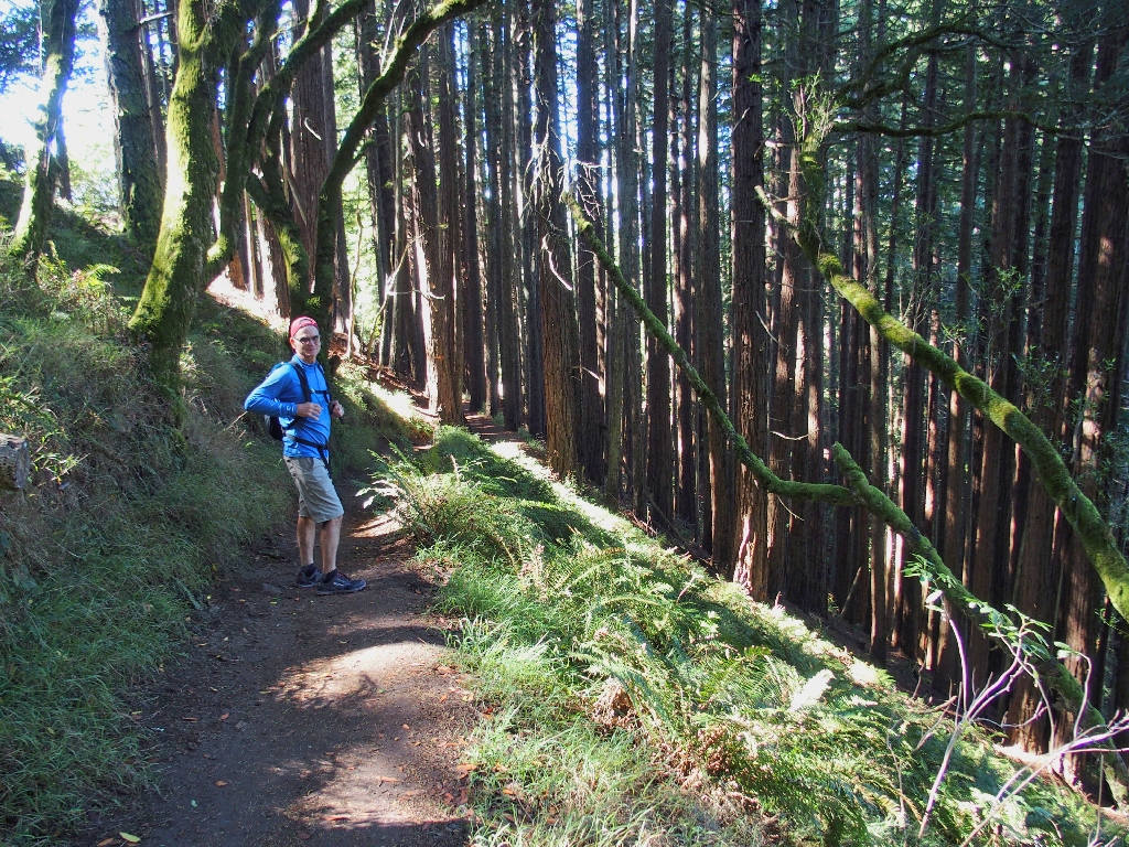
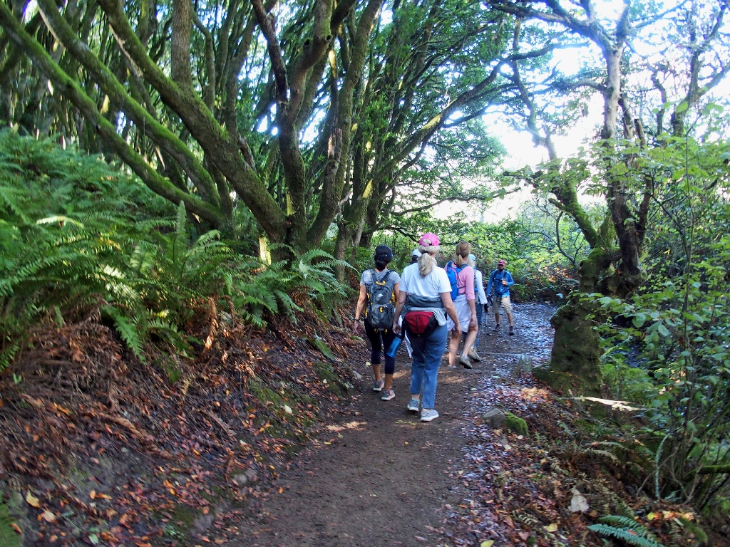
The redwoods are hardy souls
And at the base of the tall trees is another group of hardy souls:
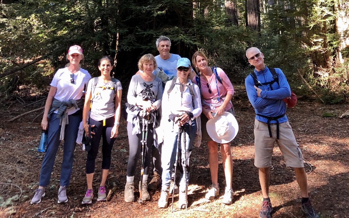
Edith, Sima, Eileen, Ted, Cindy, Kathryn, Jaff
Only Photographer Lori is missing from the picture.
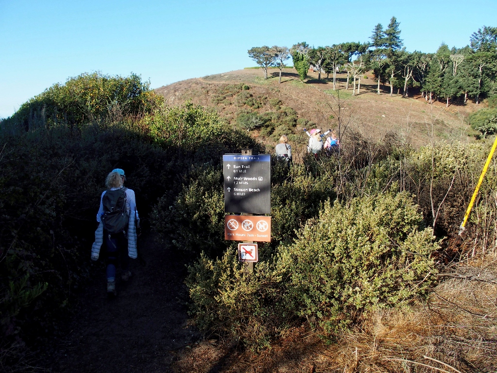
I recognize this sign
Previously, I looped over here from Pantoll Station, then back through Steep Ravine; so from here, I will be duplicating a mile or so of trail.
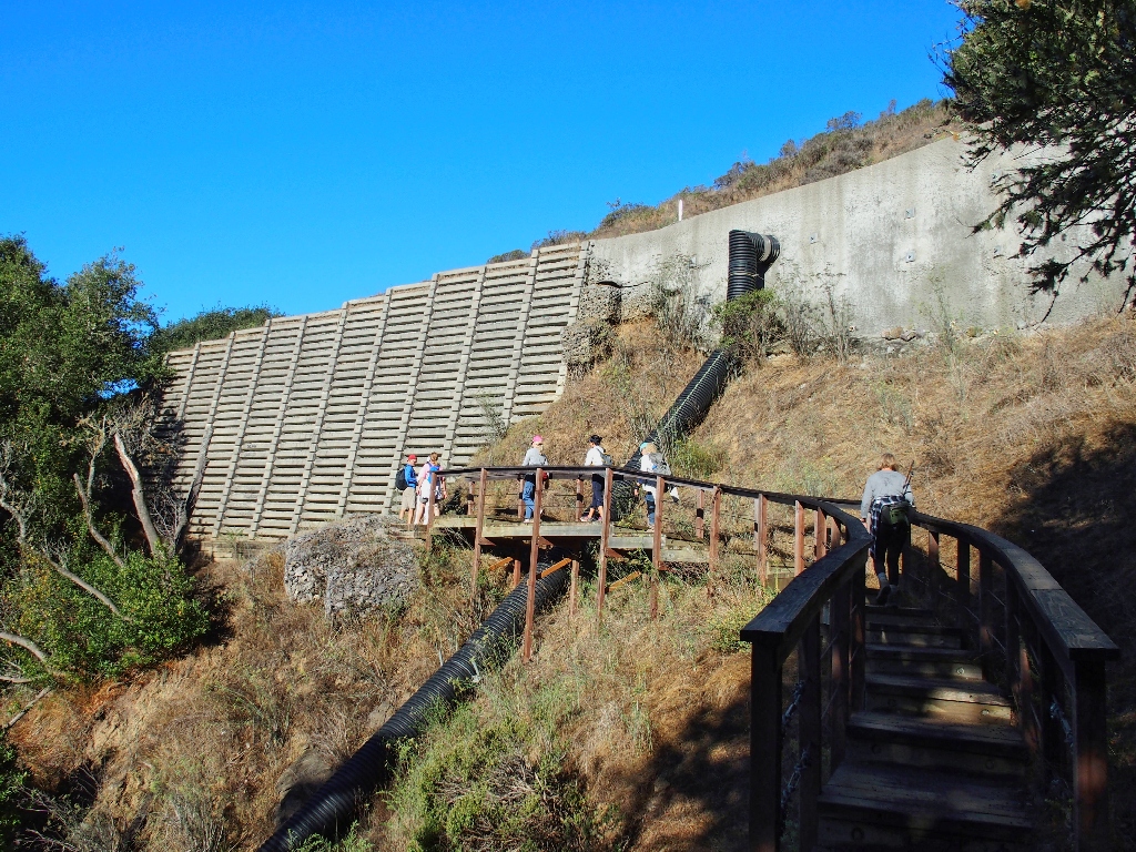
The top of Cardiac Hill hosts our first ocean vistas.
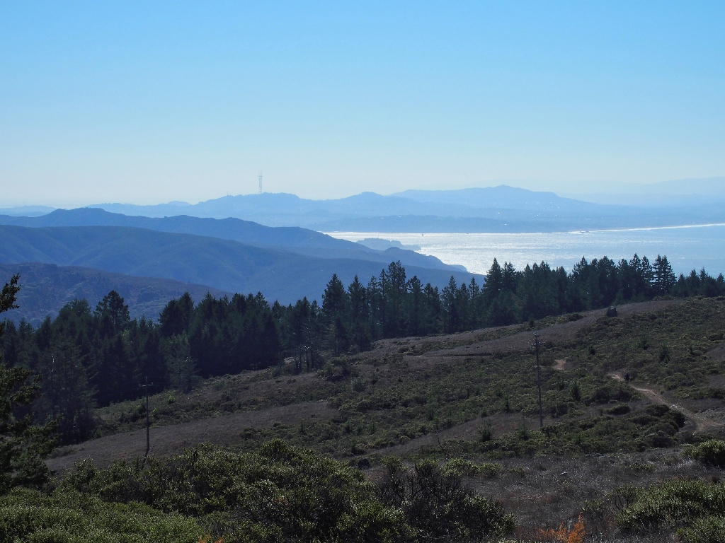
Southward view
Looking west out to sea
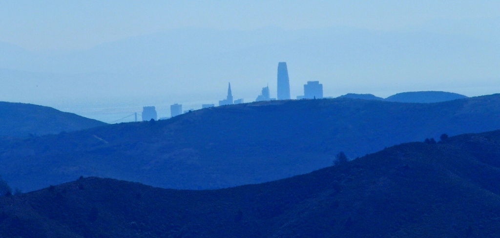
San Francisco skyline
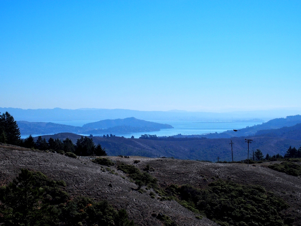
View To the east is Angel Island in the bay
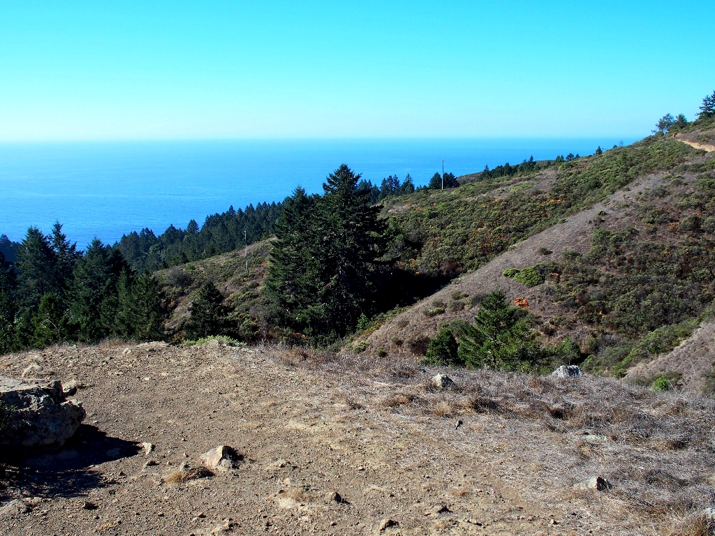
The going should be pretty much all downhill from here — or so Jaff says.
Anxious to visit the 'Rainforest', which isn't a real rainforest
Plunging into Steep Ravine
An unexpected traffic jam
Numerous injuries accrue in this section during a typical race.
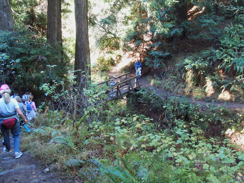
The Webb Creek Bridge
On my two prior visits, I turned right here and headed up Secret Ravine; so once again, I am entering new territory.
After a final uphill push called The Insult, our destination finally comes into view.

Stinson Beach awaits us
It's nearly a mile farther
Beautiful going
Almost there
We're down! The beach remains out of sight, however.
Traipsing through town
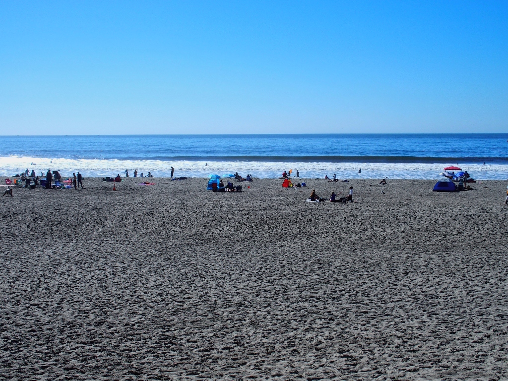
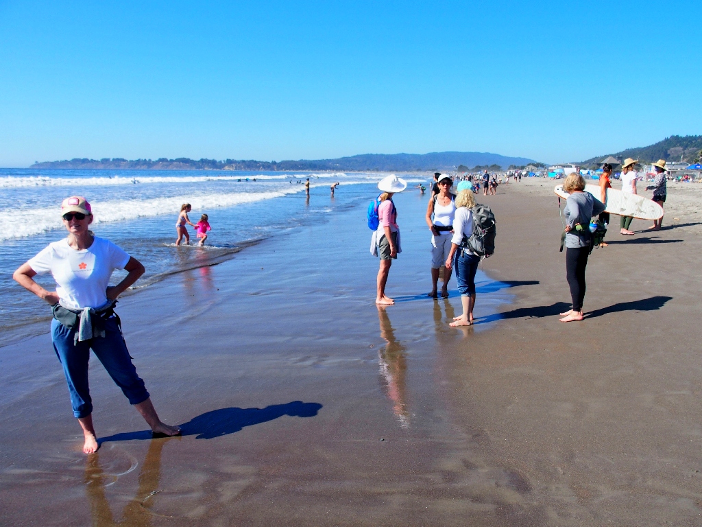
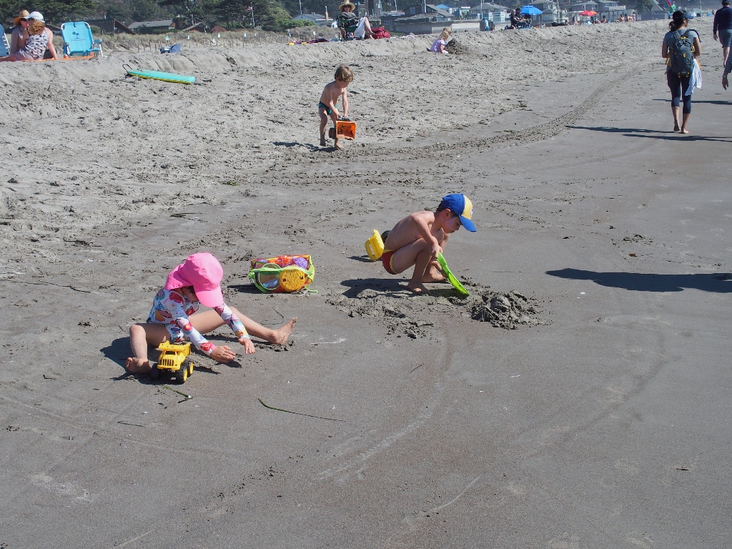
Stinson Beach
There being no shady spot for a lunch break, we all plop down in the warm sand.
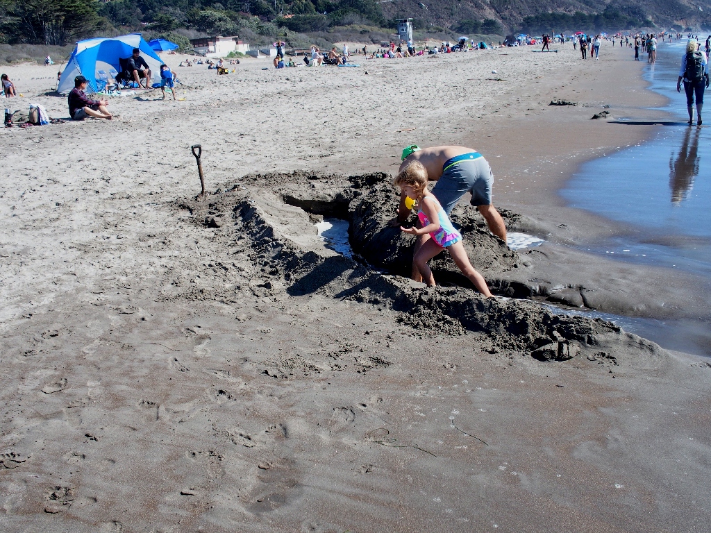
After snacking, a decision must be made. Apparently a couple of hardier souls are
willing to walk back — another eight miles and more than 2,000 feet of
additional climbing; but most are not enamored of those prospects. This trek
already has equaled or exceeded the rigors of a typical outing, and some were struggling
a bit as it was.
In any case, being able to get back before dark would be highly unlikely;
so it is agreed to opt for Plan-B — the local shuttle bus back to
Mill Valley. This means that we now can afford the luxury of a stroll down the
beach itself, so off we go.
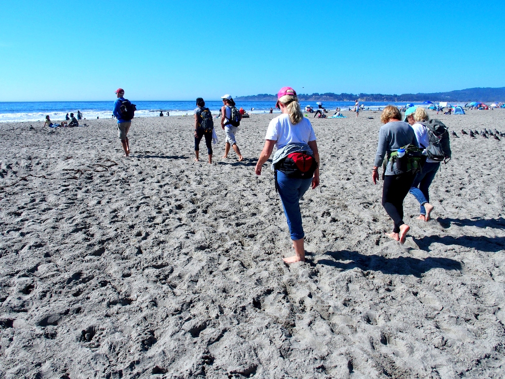
Bare feet are in order now, which is pretty unusual on a hike
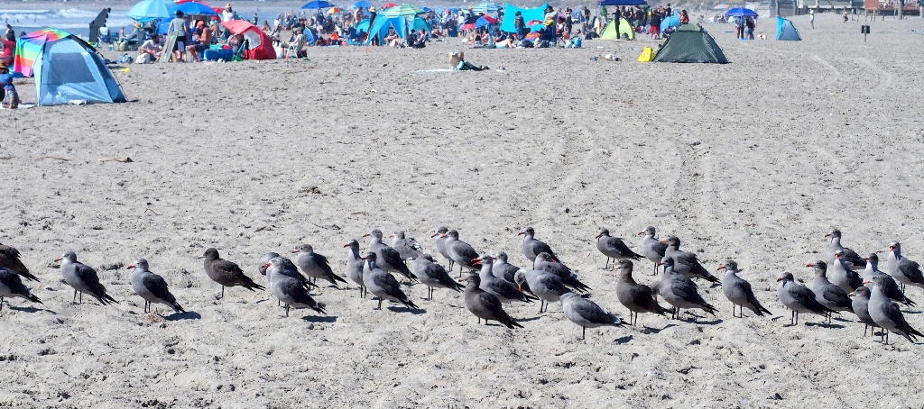
Those gulls all are shades of grey. What happened to the white ones?
The amazing part of that scene, though, is that pretty much all of the birds are facing in the same direction! Go figure.
Which way will we go?
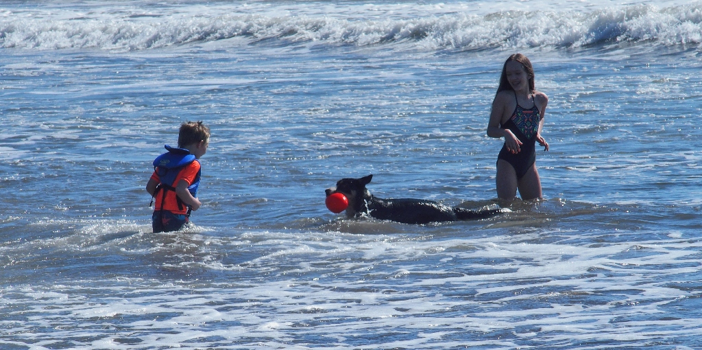
It's the old fetch-the-ball game
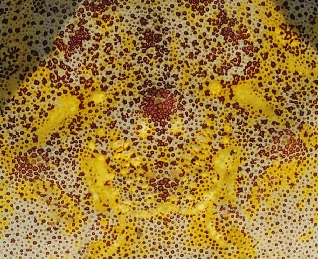
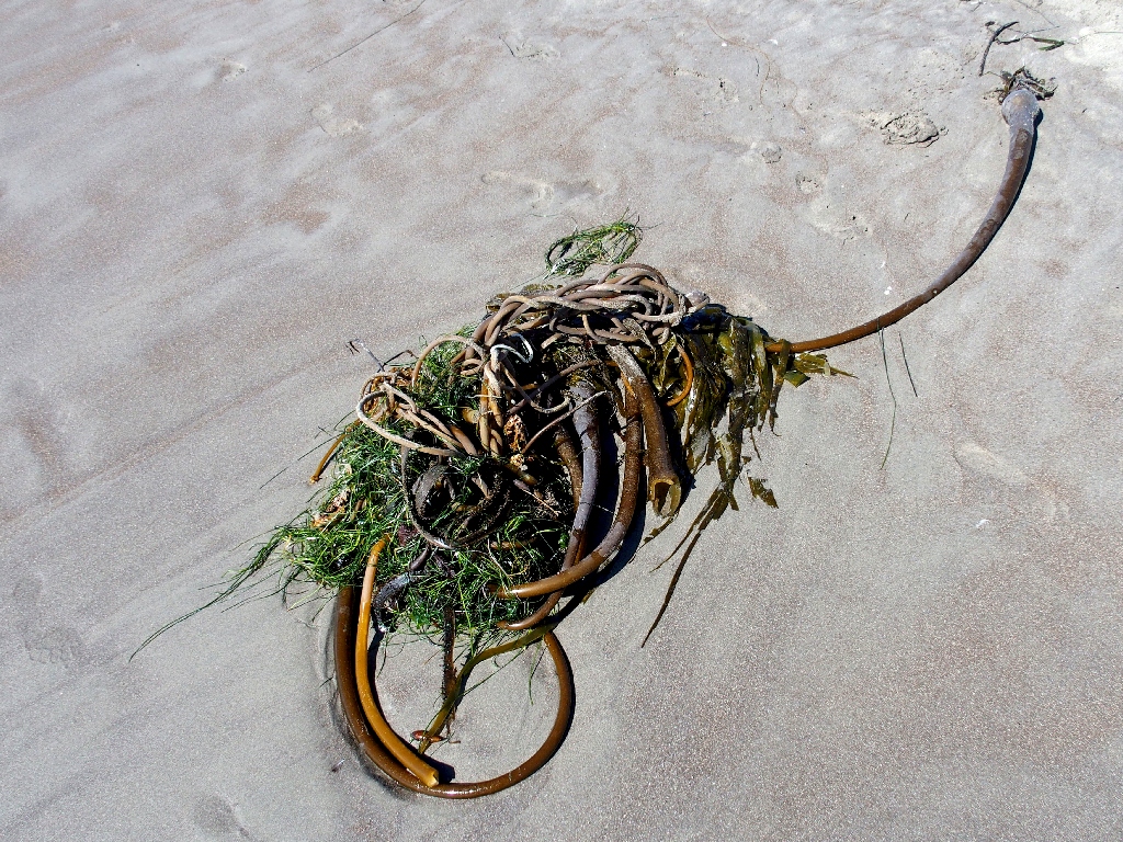
Can you guess what this is?
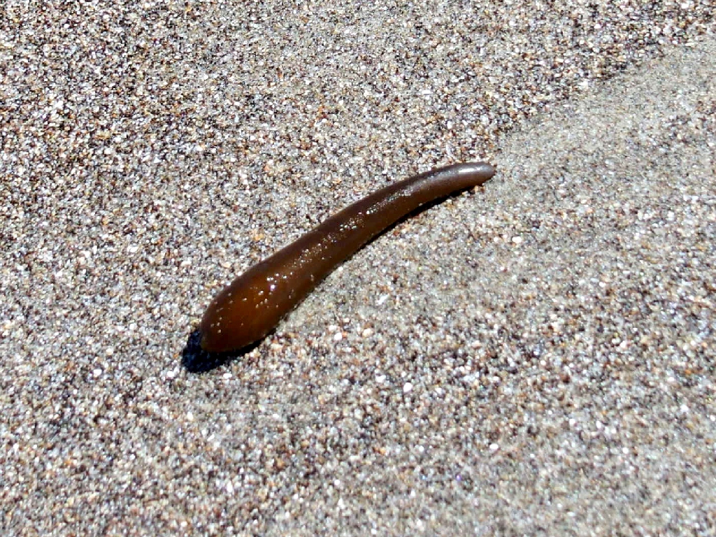
Presumably just a piece of seaweed
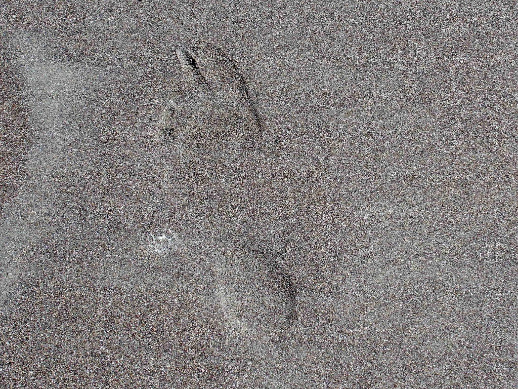
Eileen's footprint
Here's the solution to the quiz:
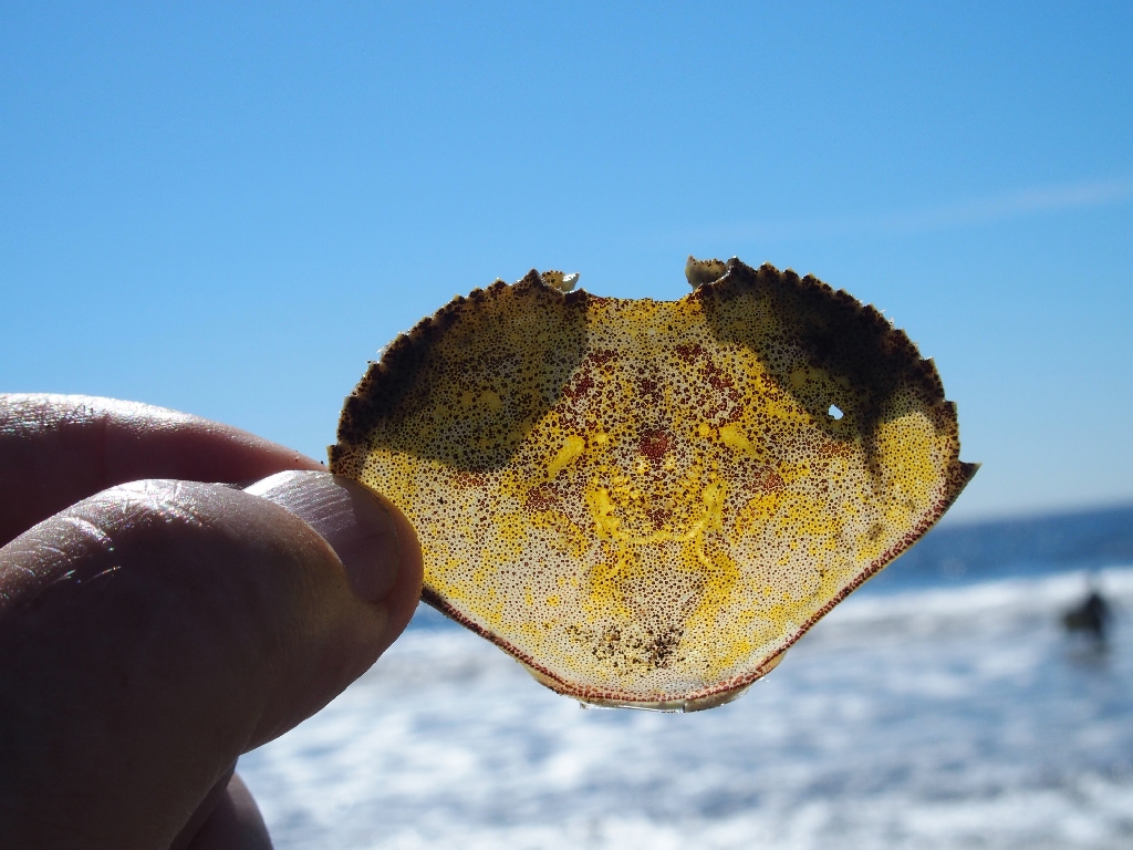
A backlit crab shell
Okay, the beach walk is over. Having a bus to catch, we all make it out to the highway with just a few minutes to spare. Life seems good.
Three sailers are touring the beach area
At this point, however, the wheels begin to come off of our day. When the shuttle
arrives, we are informed that occupancy is severly limited because of a COVID-19
restriction. Not only will none of us be able to board at this time, but even the
next bus an hour from now will not be able to fit us all in. Bummer!
So it's time for Plan-C. We'll summon an UBER taxi to take at least two drivers over the hill, who could then return and fetch the rest of us. This probably would take a couple of hours, but that seems to be the choice. An UBER cab is contacted online, and a little clock shows that it is on the way; but then the scheduled time comes and goes, and no cab appears.
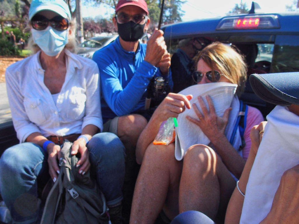
Just as all seems lost, however, a miracle occurs. As a shiny blue pickup with four occupants passes in front of us, one of the group humorously calls out, "How about a ride?" And the truck pulls over and stops! It seems that the folks are tourists, but that they are amenable to helping us. We have been saved!
After explaining what is needed, Lori climbs into the cab, and the other seven of us cram into the bed of the truck, which contains nothing but a fishing pole; and off we go up the steep and curvy Panoramic Drive.
Starting the ride
The young Air Force soldier at the wheel proves to be a conscientious driver,
pulling off at numerous turnouts to let faster traffic pass. Many miles
later, at Jaff's instruction we stop where the Dipsea Trail crosses the road.
We will finish the trek from here. Plan-D has proved a total success.
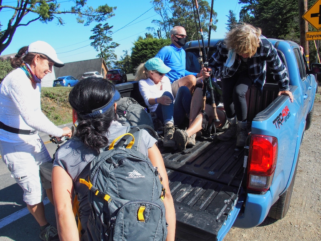
End of the ride
After giving the good folks from back east a hundred dollars for their accommodation, we happily set off down the remaining mile and a half of trail.
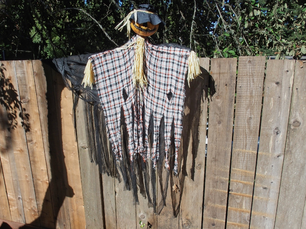
Halloween is coming
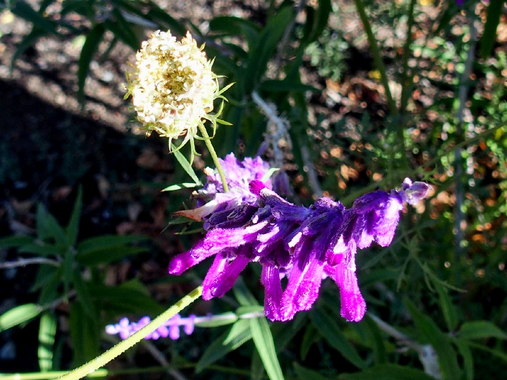
The only flowers around today are in people's yards, such as this
Mexican Bush Sage
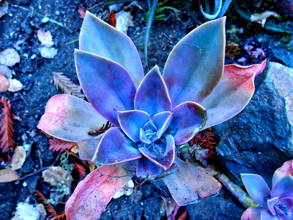
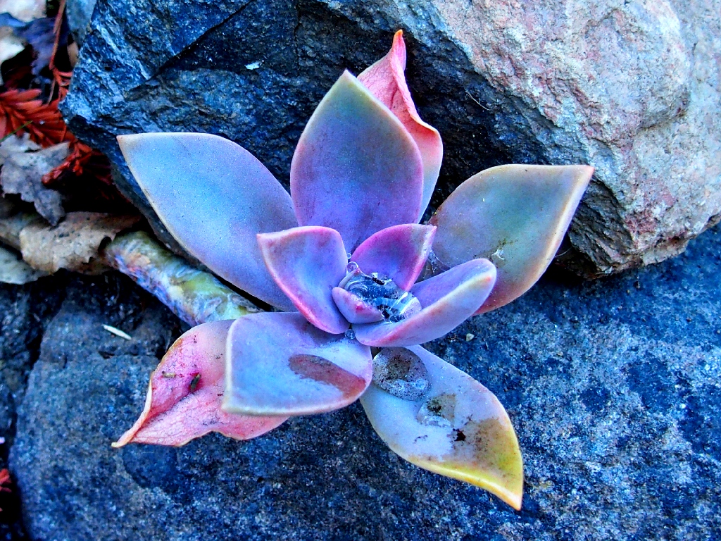
Ice Plants are a real treat
Woodland Stonecrop
Dinnerplate Plant
Those flowers were not noticed earlier, however, so we must be on a new route.
Catching up with three others, Lori mentions that she hopes that we didn't
"miss the stairs". It is clear to me that we have done just that, and a passing
walker confirms that the Dipsea Trail is about three-tenths of a mile back;
so we retrace that distance and locate the stairway. Having already planned to
do so, I start counting the steps for myself.
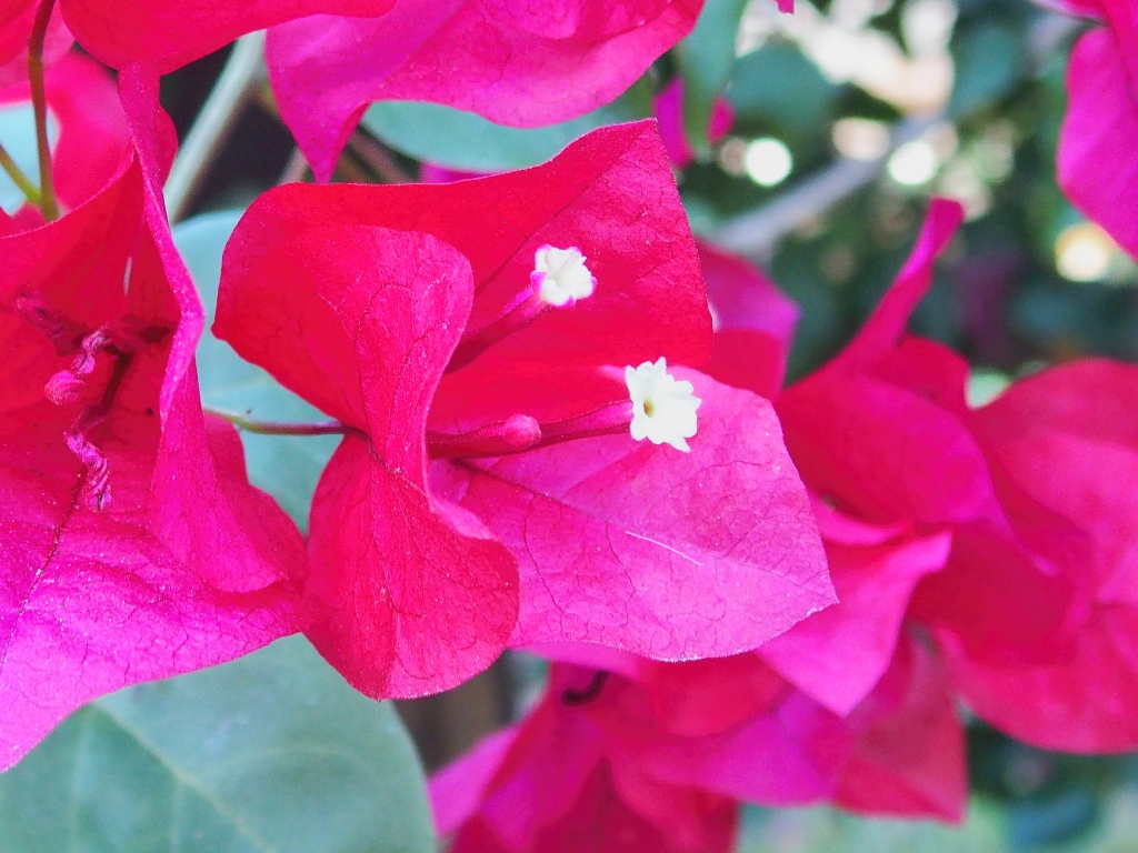
Great Bougainvillea
Although these neighborhood homes have a high value, many feature nostalgic
hippie-style decorations of times past.
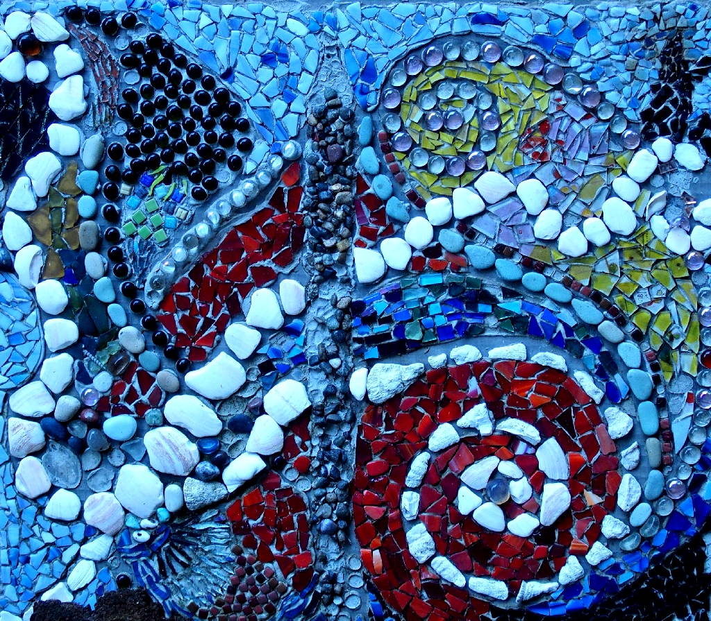
Mosaic on a fence
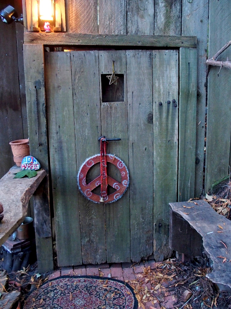
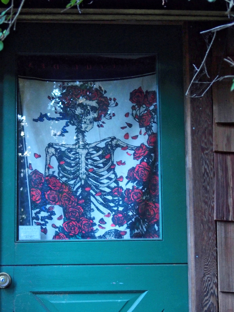
Trailside doorways
Near the bottom of the route
After this amazing and fortuitous series of events, it seems like a good plan to
unwind at a nearby restaurant before the upcoming 90-mile drive home.
Local regulations continue to haunt us, however; for our group is compelled to use two different tables.
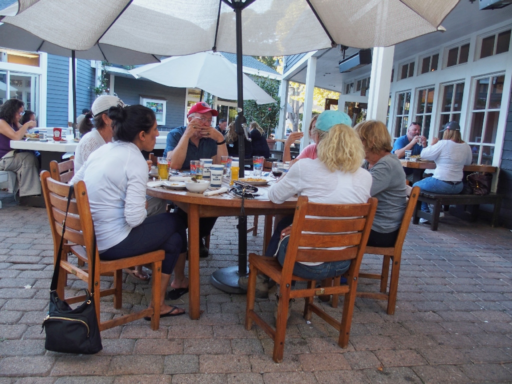
That's the head table; Jaff and I have our own
§: Well, that was one remarkable day, and we have some great stories to
tell as a result. An interesting feature of this trek was that it traversed
three different parklands — Mount Tamalpais State Park, Muir Woods
National Monument, and the Golden Gate National Recreation Area. That variety
could be a record of some kind.
Oddly enough, prior to a second postponement, the 2020 running of the race had been
moved up from mid-June to — you guessed it —
October 11th. That's today; and that fact might have accounted for
the unusually heavy traffic on the trail. Perhaps some of the others were unaware
of the cancellation and had intended to be spectators.
| Scenery |  |
| Difficulty | |
| Personality |  |
| Adventure | |
| Flowers |  |

ADDENDUM
OLDEST RACES: The first Dipsea was held in 1905, pre-dated by the Boston Marathon in 1897; yet the longest continuous such event of them all is the original Thankgiving Turkey Trot in Buffalo, New York, which has run every year since 1896!
STAIR COUNT: Totals range from 672 to 688, depending upon which article one reads. My own count was 316 +234 +150 = 700 actual steps, plus some inclined sidewalks and roadways. This total was verified nine months later, so it's gotta be true.
Go here to view some great footage of the event's remarkable history: <dipsea.org>
