
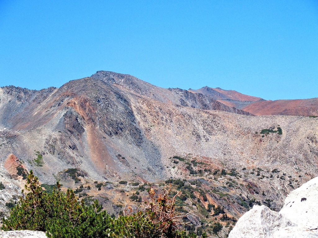
Hall Natural Area near Tioga Pass
|
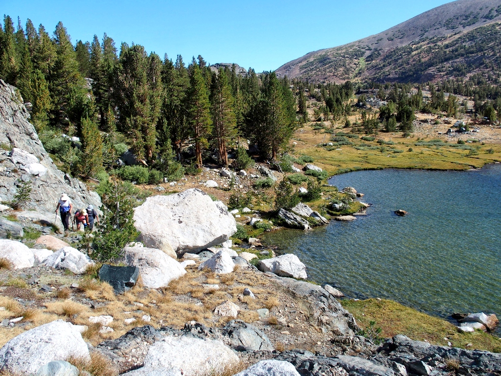
Conness Lakes Hall Natural Area near Tioga Pass |
August 25, 2020
On this, the third and final day of our "get away from the forest-fire smoke" excursion, I can think of no better place to take my four friends than up to the Twenty Lakes Basin area.
After a multi-year interruption due to snow-related damage, the Saddlebag Lake
Resort is under new management and is partially open for business. Coronavirus
issues still must be dealt with, but the boat-taxi service across the big lake is
functional again. The price has nearly doubled, to $16 a head, but it's worth
it even if it does save only about 2½ miles of walking.
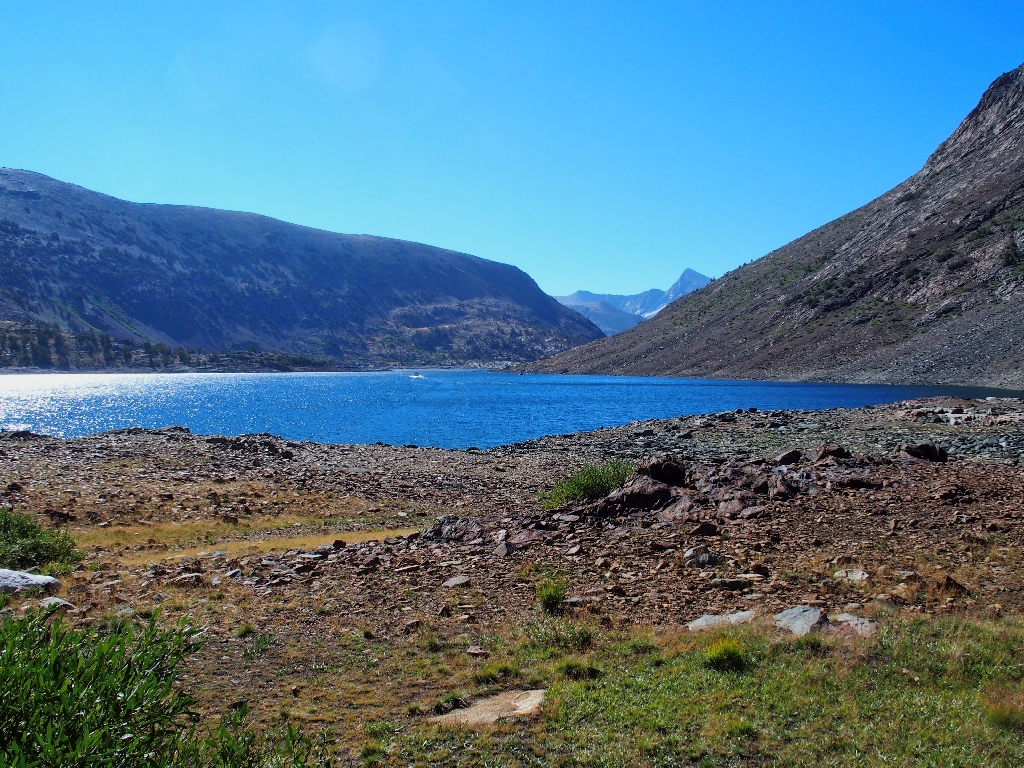
The boat has let us off at the north end of the lake
It's a bit eerie here this morning, though; because aside from my group, no other humans are in evidence.
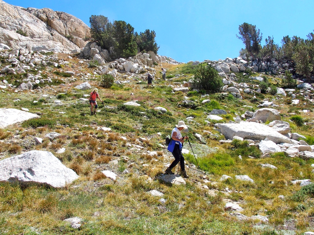
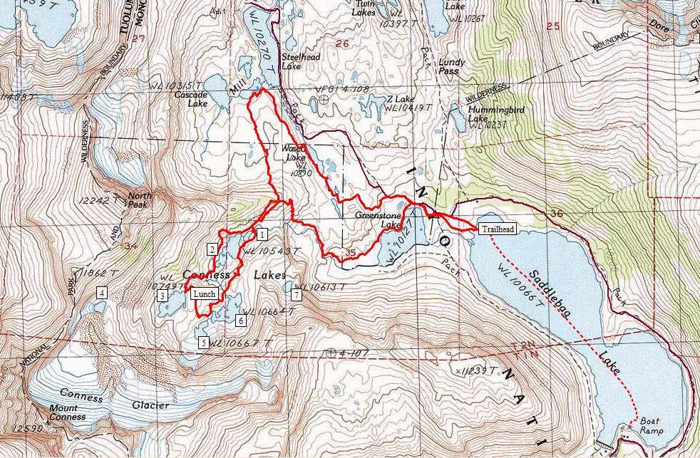
On my fourth visit to today's destination, we will try something new
to me — namely, the trail that represents the shortest route!
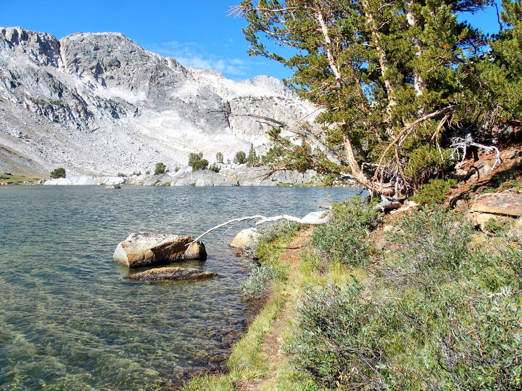
Starting off beside Greenstone Lake
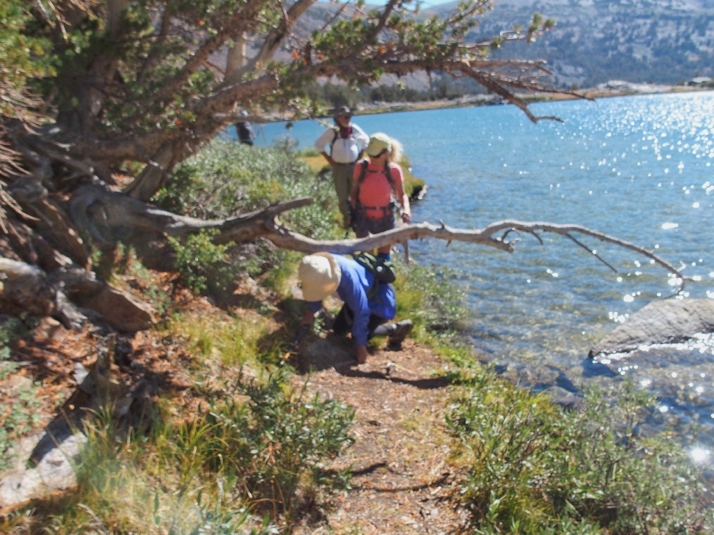
Unexpected obstacle
The work begins
Back for the second time in three days
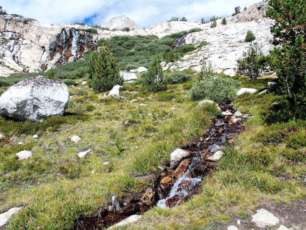
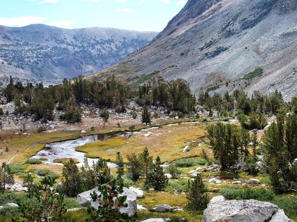
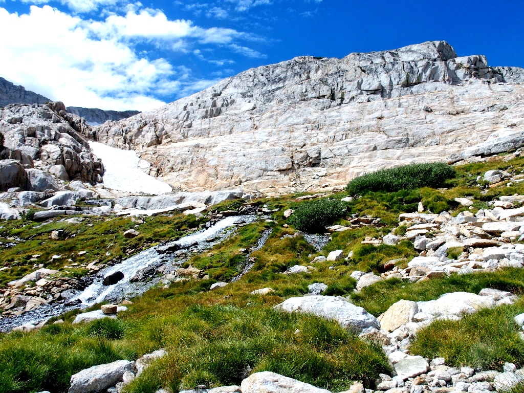
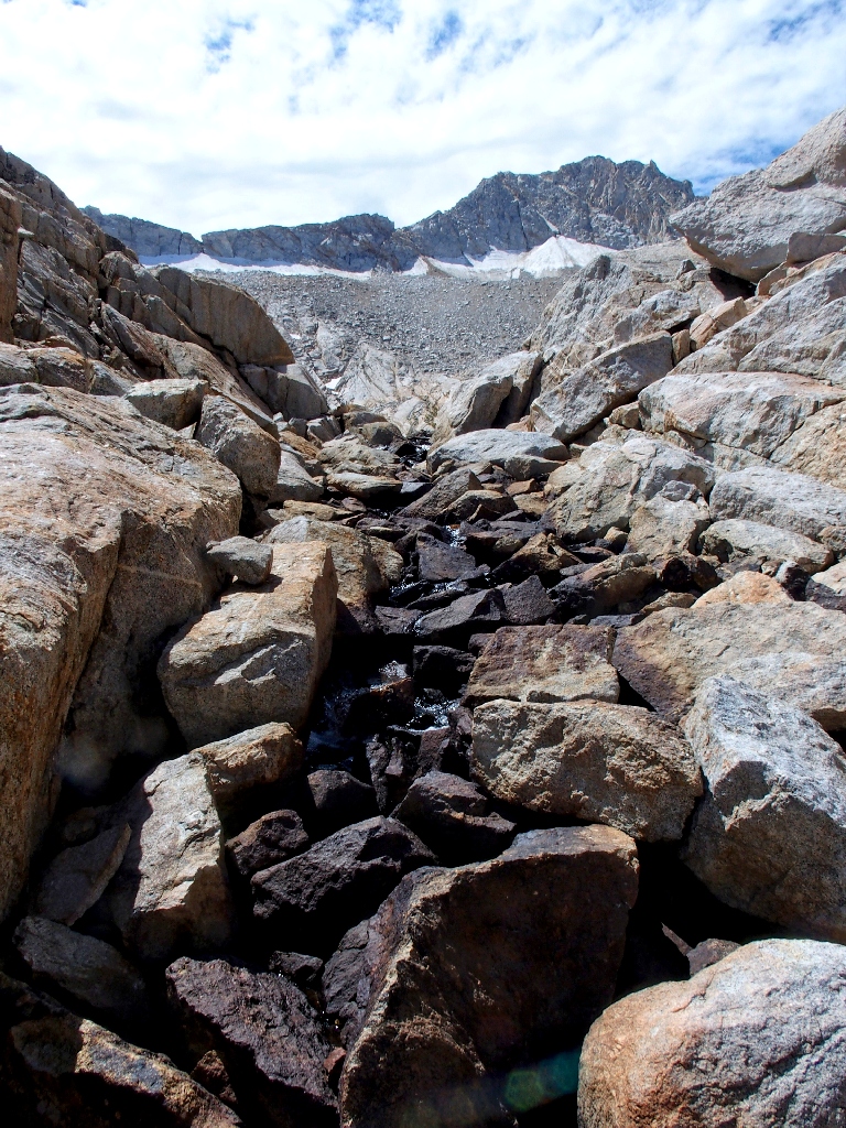
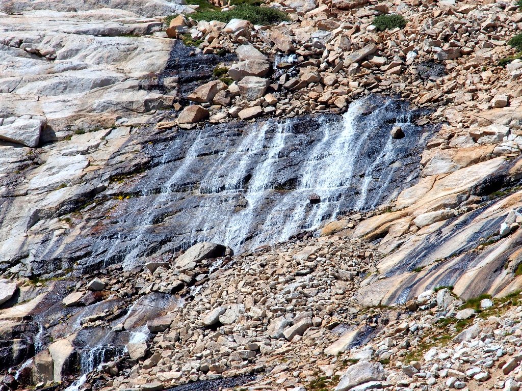
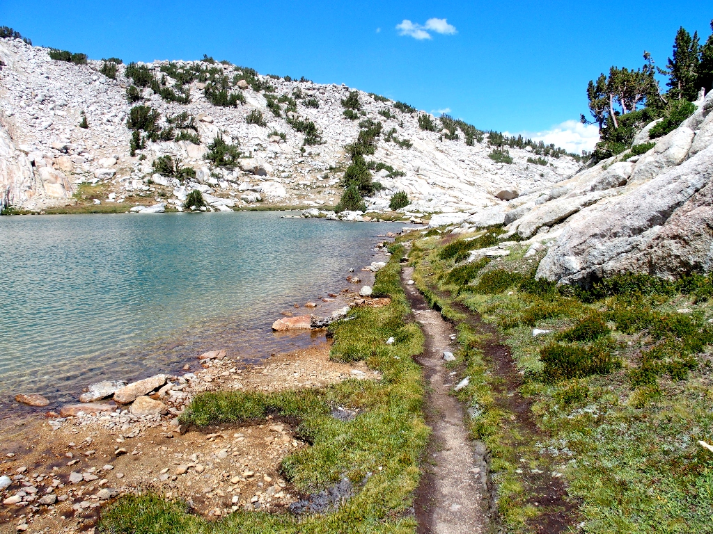
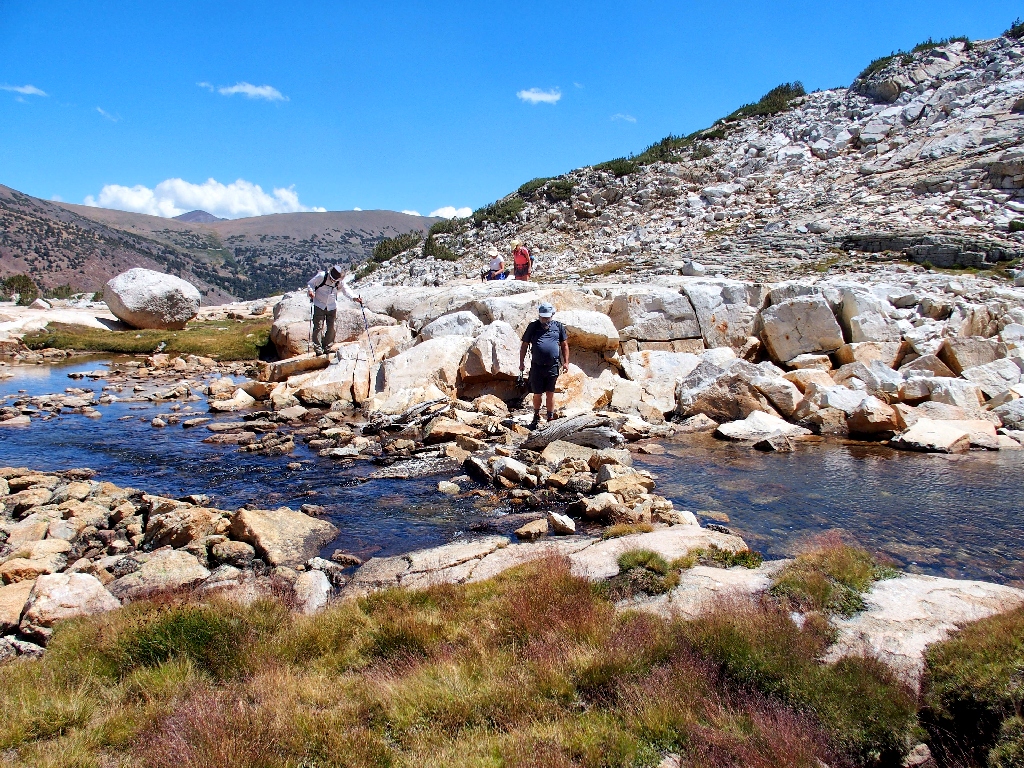
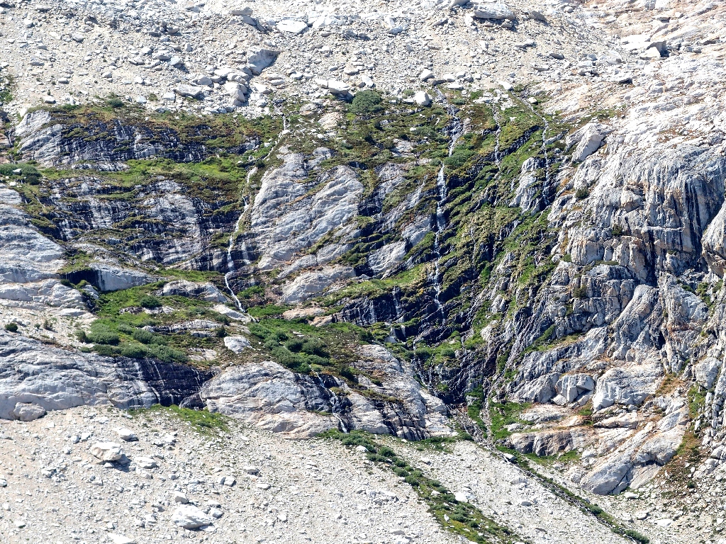
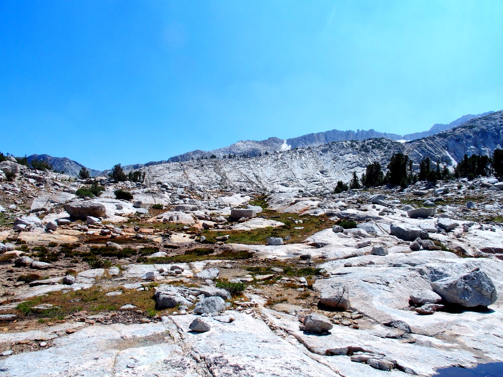
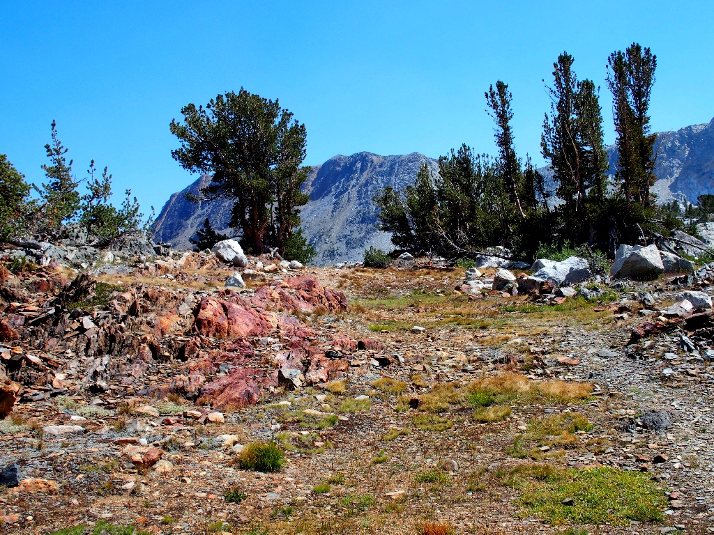
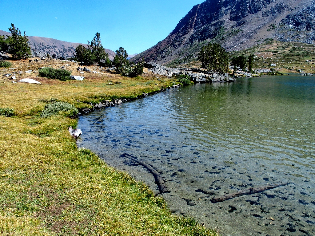
Crossing a number of dry creek channels spawns some mild concern about the status of running water in the area, but I need not have worried.
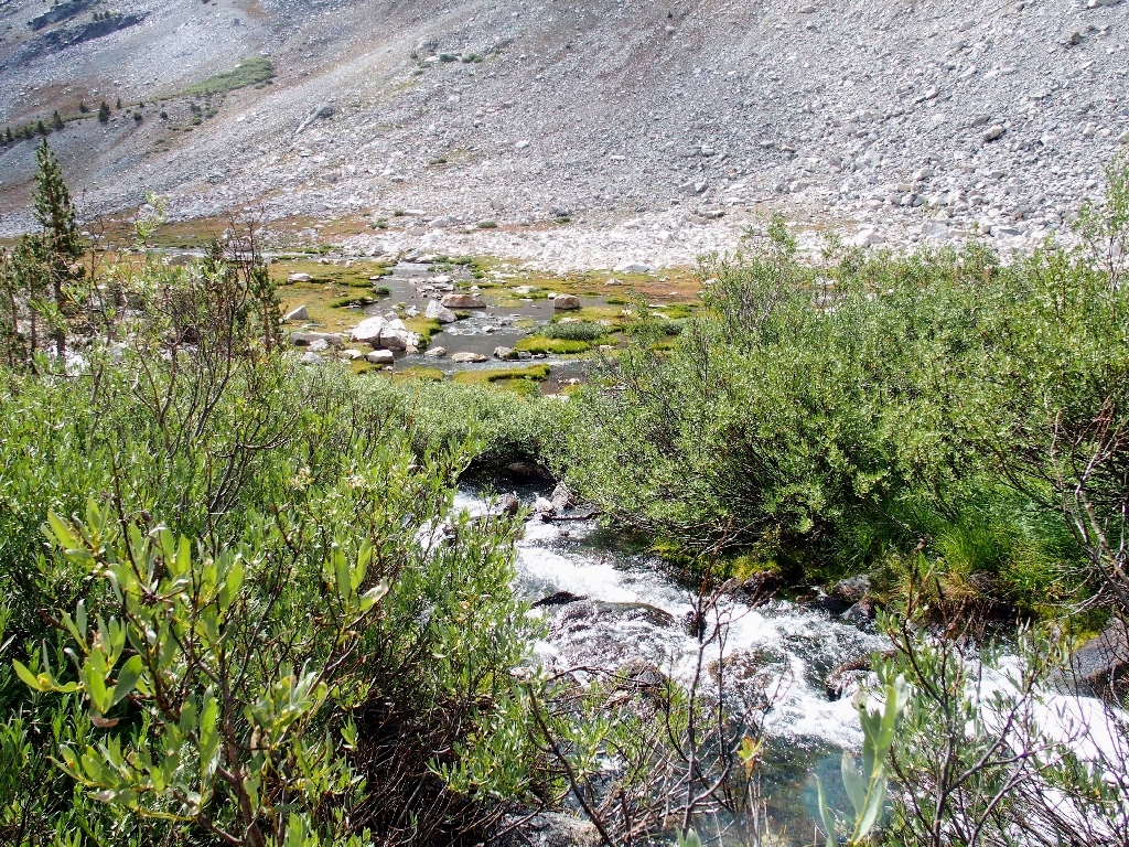
Water, water everywhere
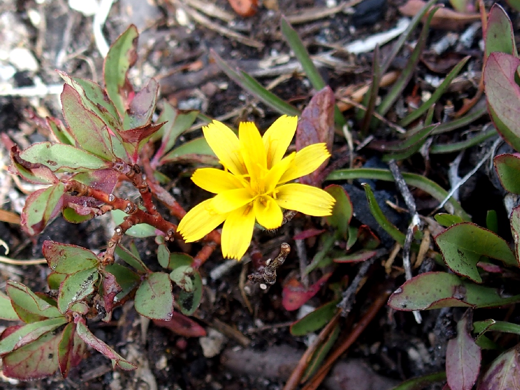
Mountain Dandelion
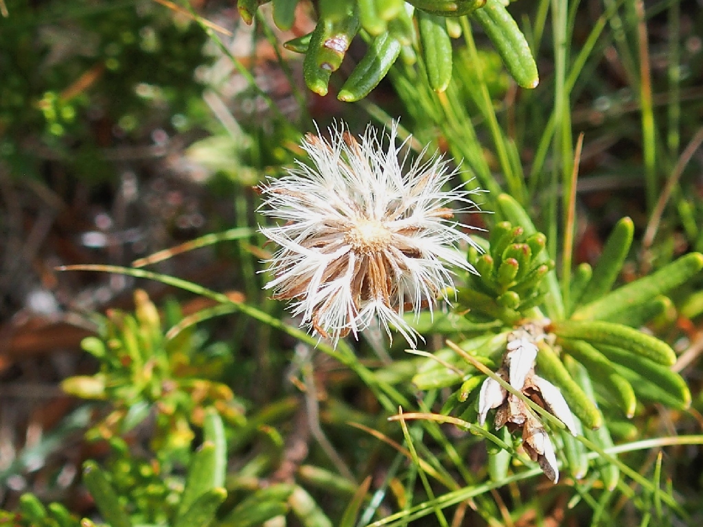
Narrowleaf Goldenbush
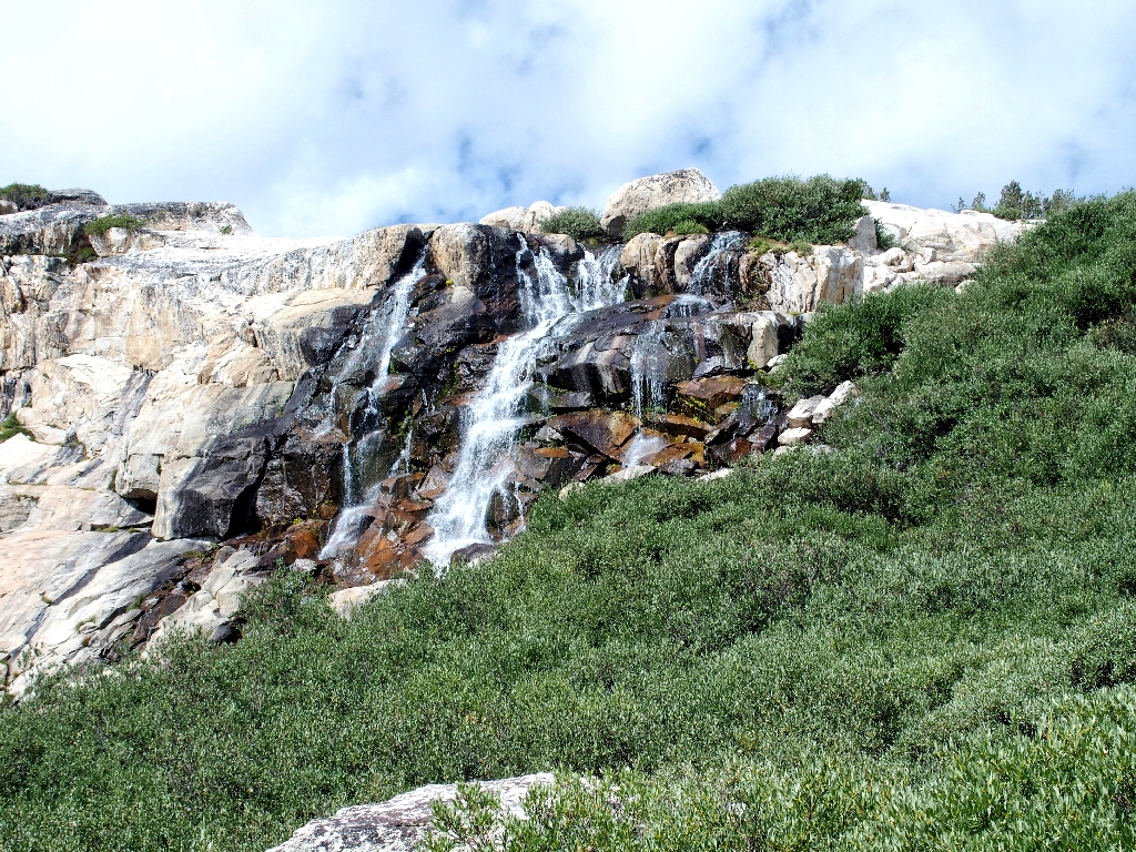
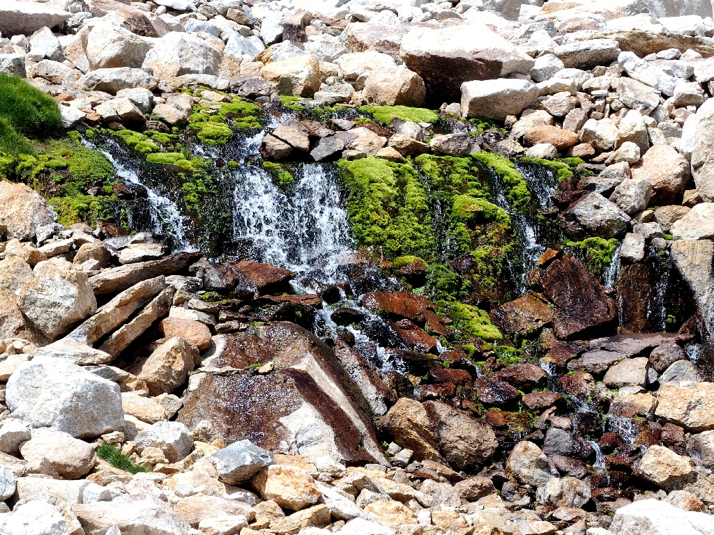
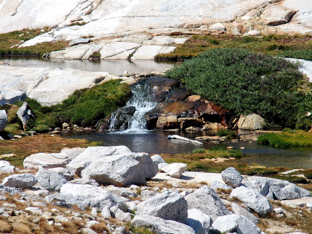
In fact, some streamflow was guaranteed, because there is a glacier just above us. It is the upcoming waterfall that I have been anticipating.
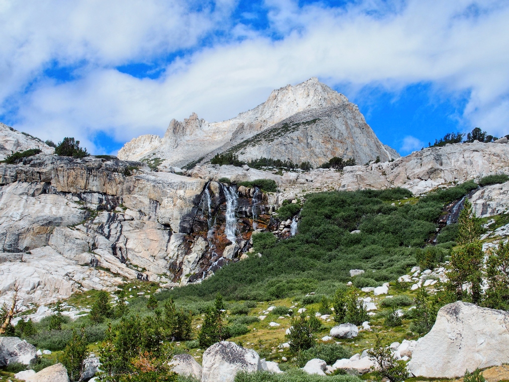
Spectacular
This is one feel-good place
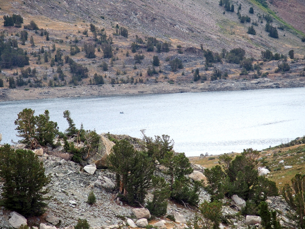
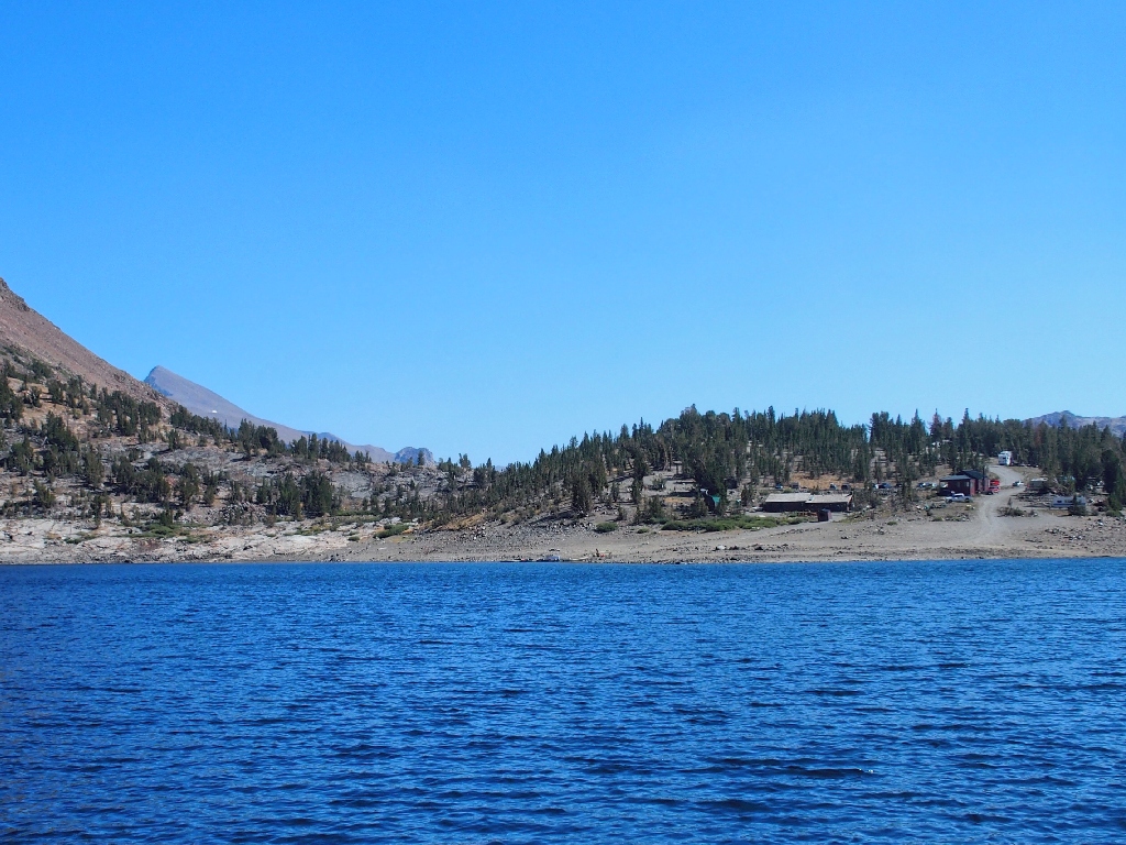
A lonesome canoe out on Saddlebag Lake
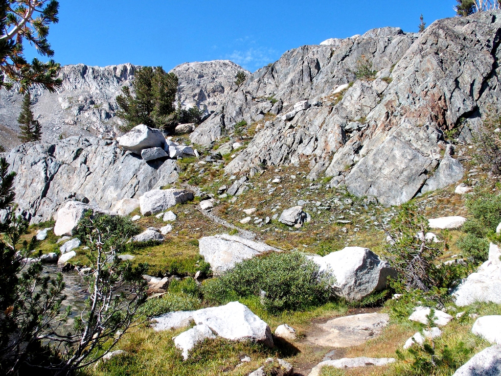
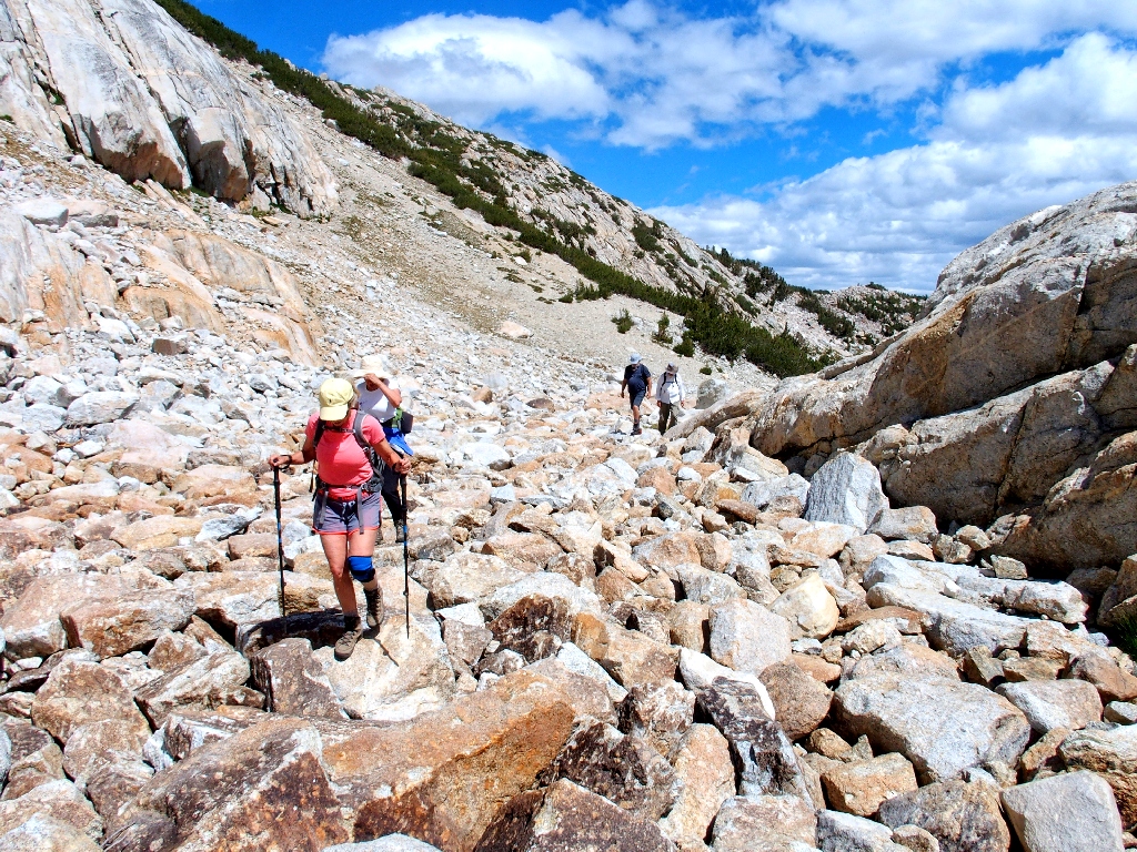
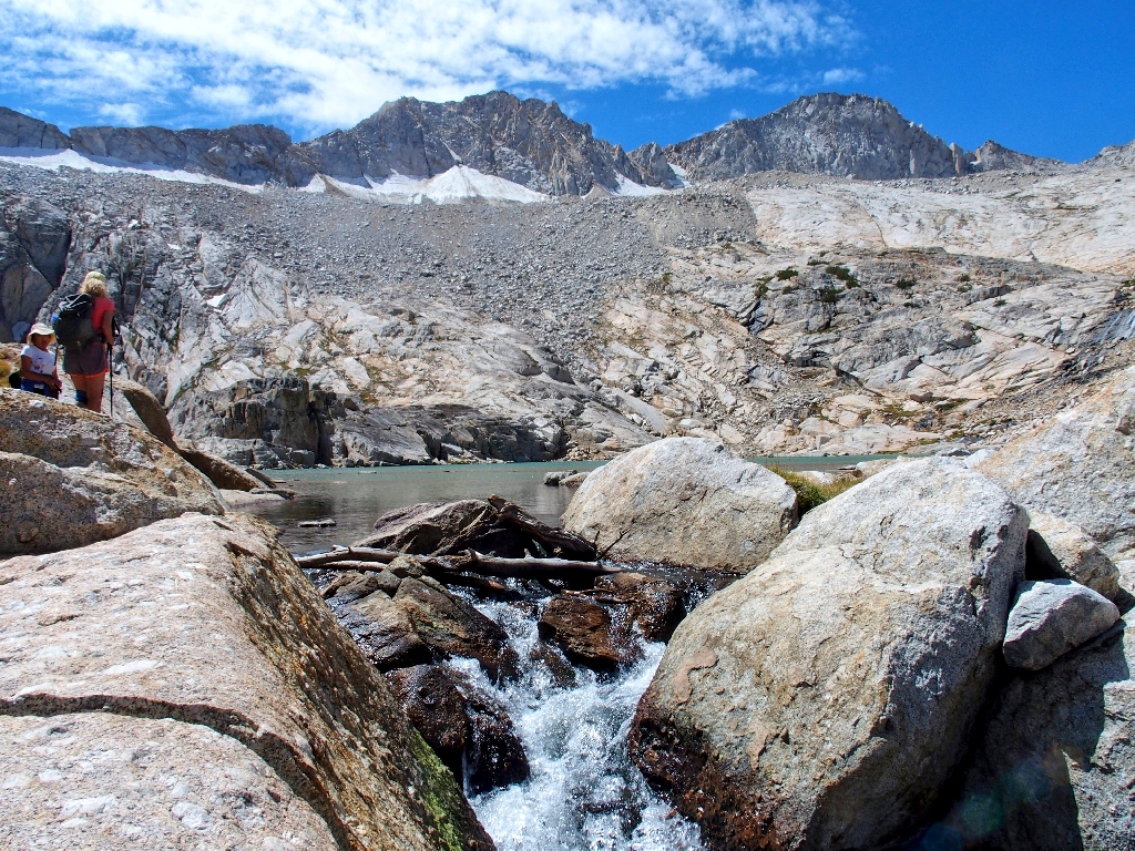
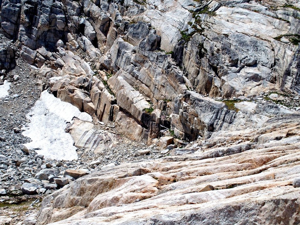
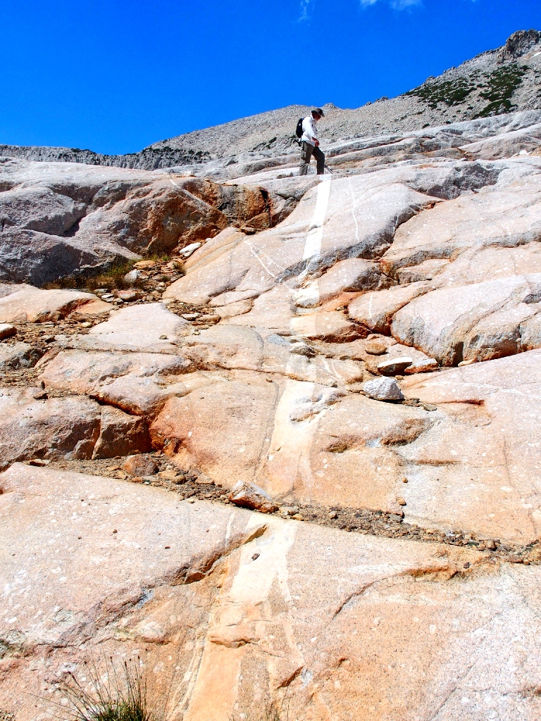
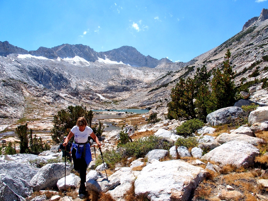
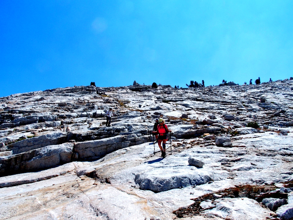
Approaching the falls, we encounter an area of slabs and boulders. It seems that we are supposed to traverse that section and remain near the creek; but inexplicably, I opt to stay on the path that leads around and up the hillside.
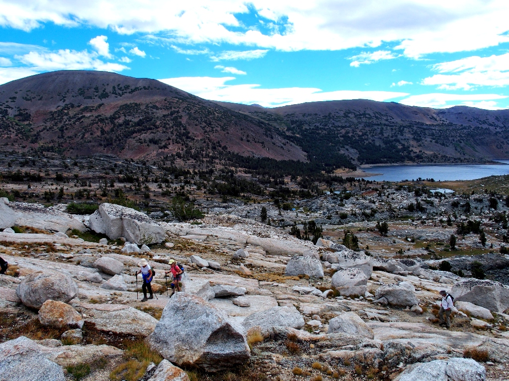
Progress is slow, but sure
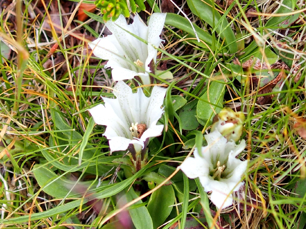
Tioga Gentian
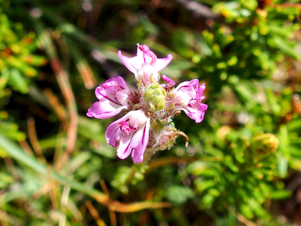
Little Elephant Heads
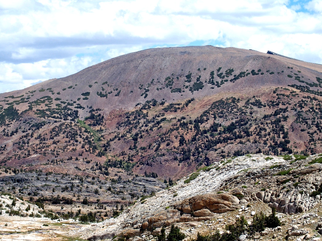
Nearing the ridge top
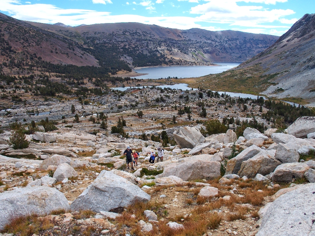
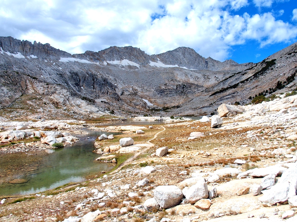
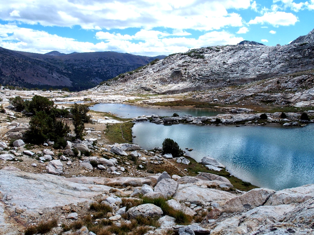
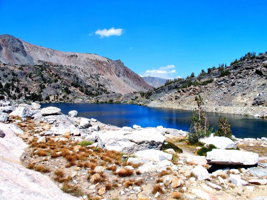
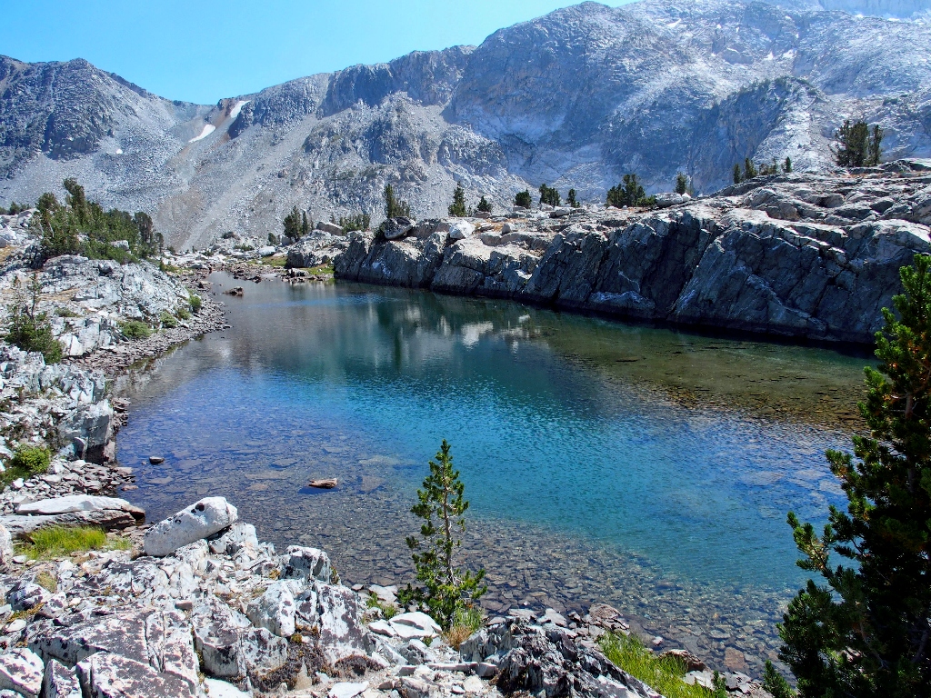
At last — the jaw-dropping first view of the Conness Lakes Basin:
Words fail me here, as usual ⇔
Now, of course, we must drop down to the trail that we would have been on already, had I not detoured us away from the falls.
Starting down
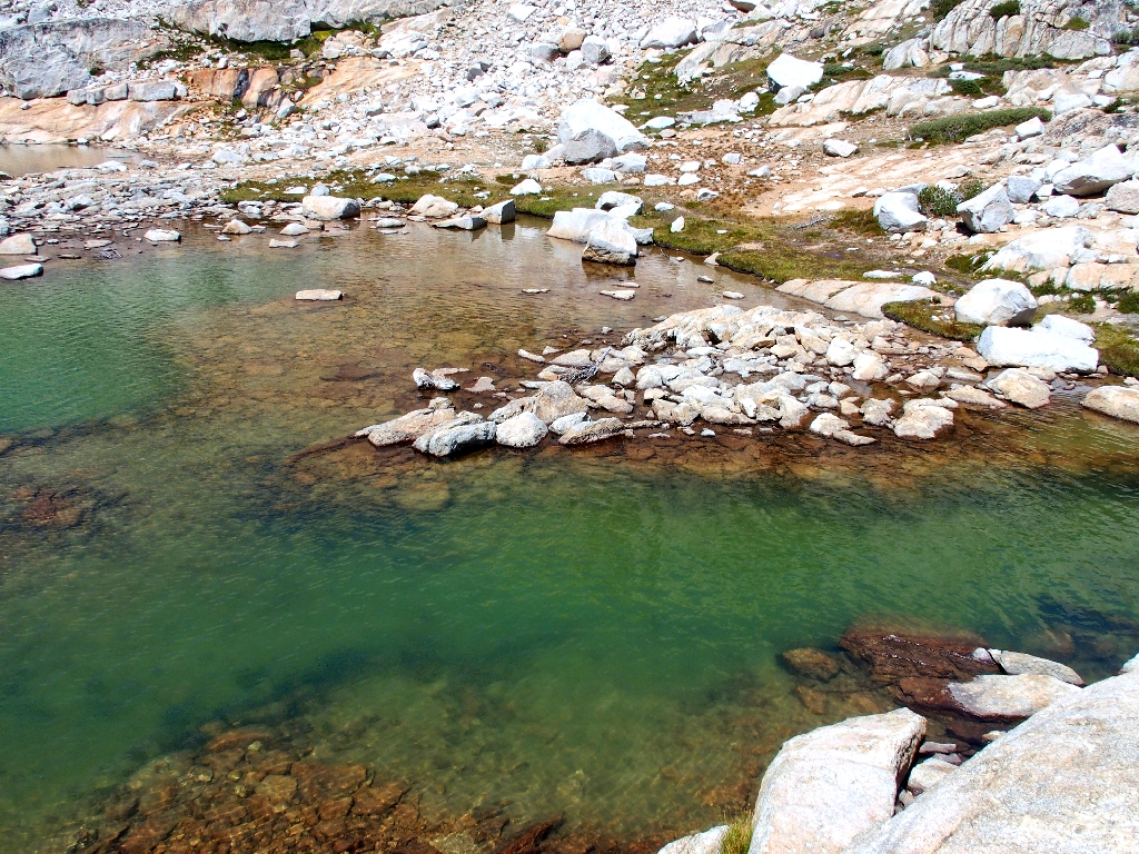
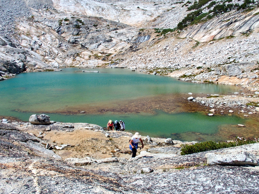
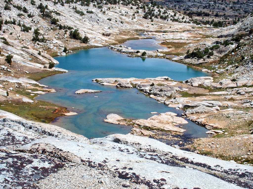
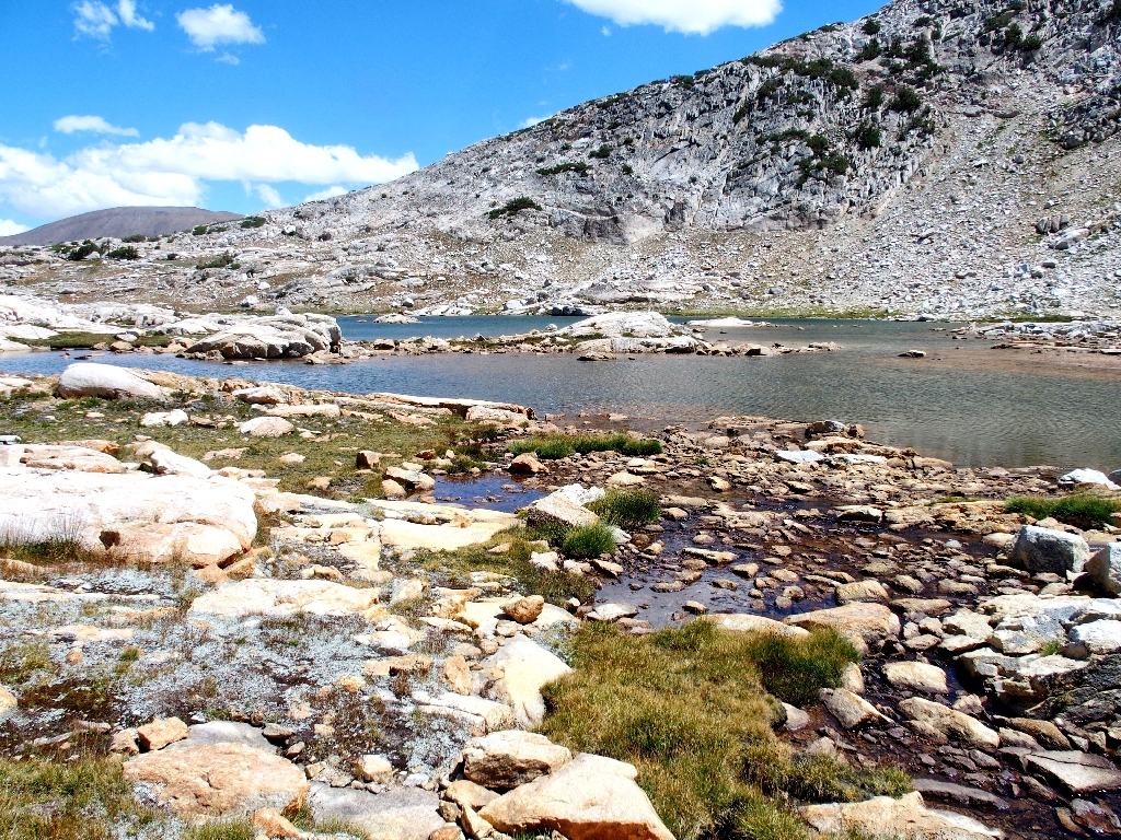
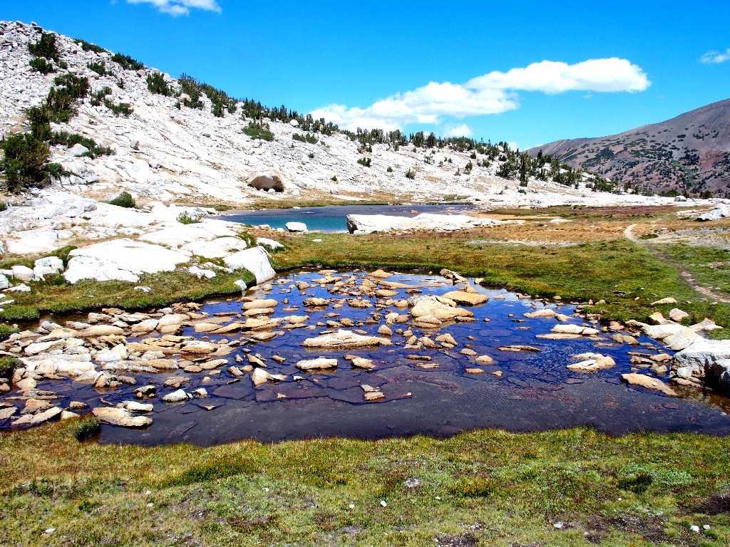
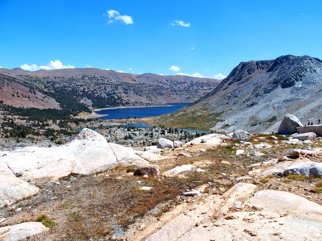
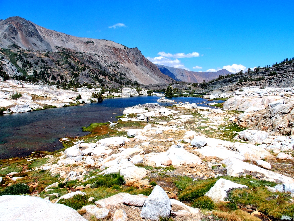
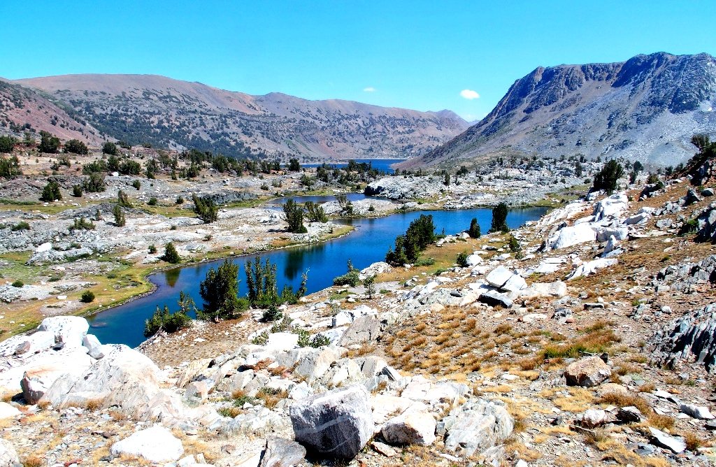
The actual number of lakes here seemingly depends in part upon which blog one is
reading. As far as I am concerned, however, if one body of water has a different
surfact-elevation from another, then it is a different lake. In just a
quarter of a mile here, the water level drops in two places; so there are three lakes,
and I am adjusting my count accordingly.
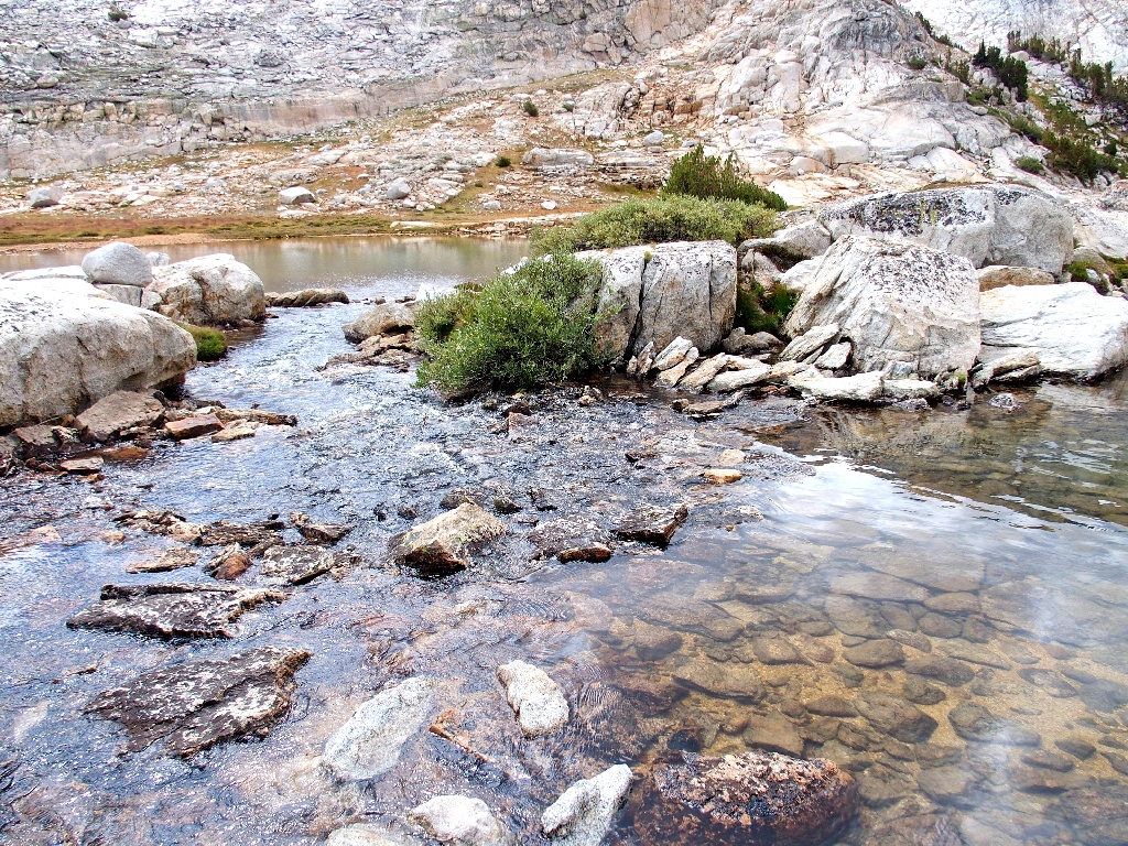
One lake drops about a foot into the other
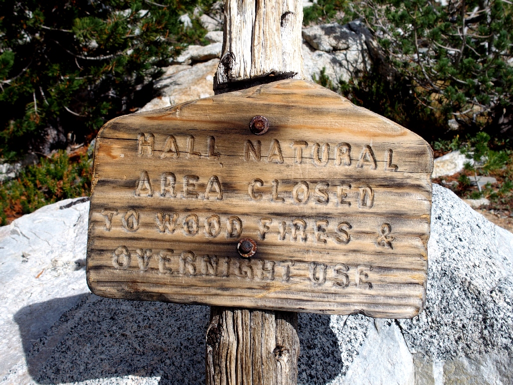
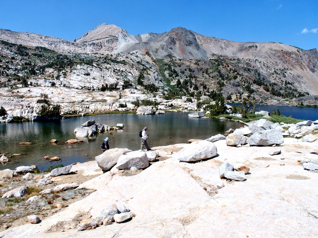
Presently, we run into a hiker who has just negotiated a difficult passage that I already know about. After a brief chat, he departs for his nearby campsite, which is illegal here. As per the signpost that we read earlier, overnight stays are disallowed in the Hall Natural Area.
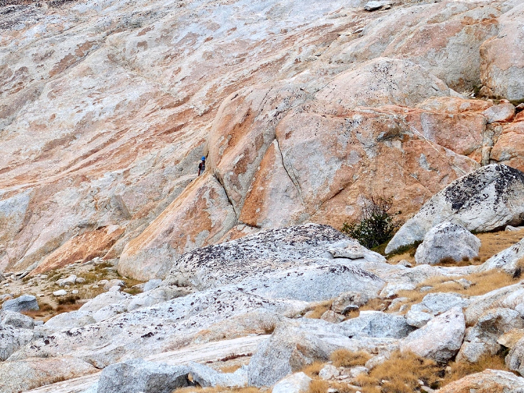
The man's partner negotiates the difficult section
Those two have just completed an ascent of North Peak, which is commendable; but if a ranger catches them camping here, their day might not end so well.
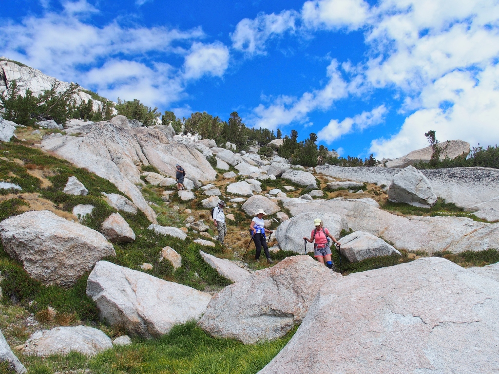
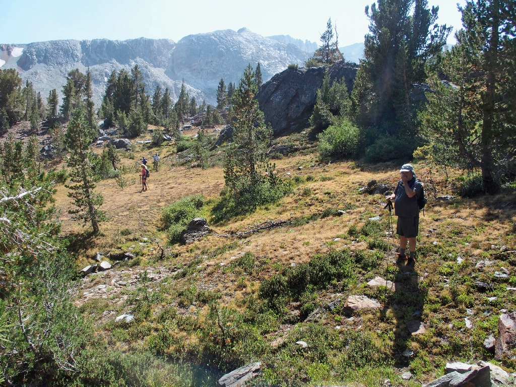
Meanwhile, my guys must decide whether they are willing to tackle the 40-foot steep scramble up the nearby rocks. Albeit not overly difficult, this mildly risky scramble certainly isn't everyone's cup of tea.
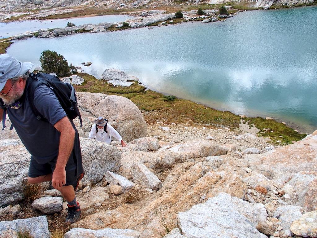
David and Paul make it up
Although there is a way around this tricky spot, I have yet to use it; and today, everyone is up to the challenge. Old though they may be, my guys are no wimps.
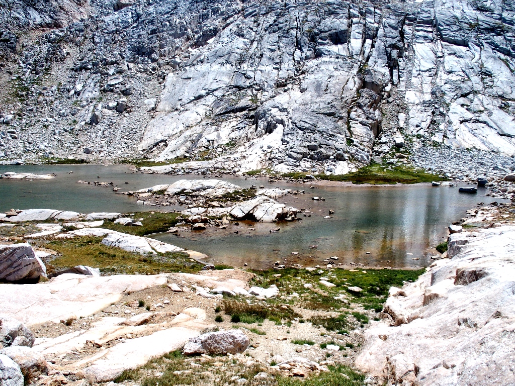
Lakes #2 and #3
Getting back down to lake level
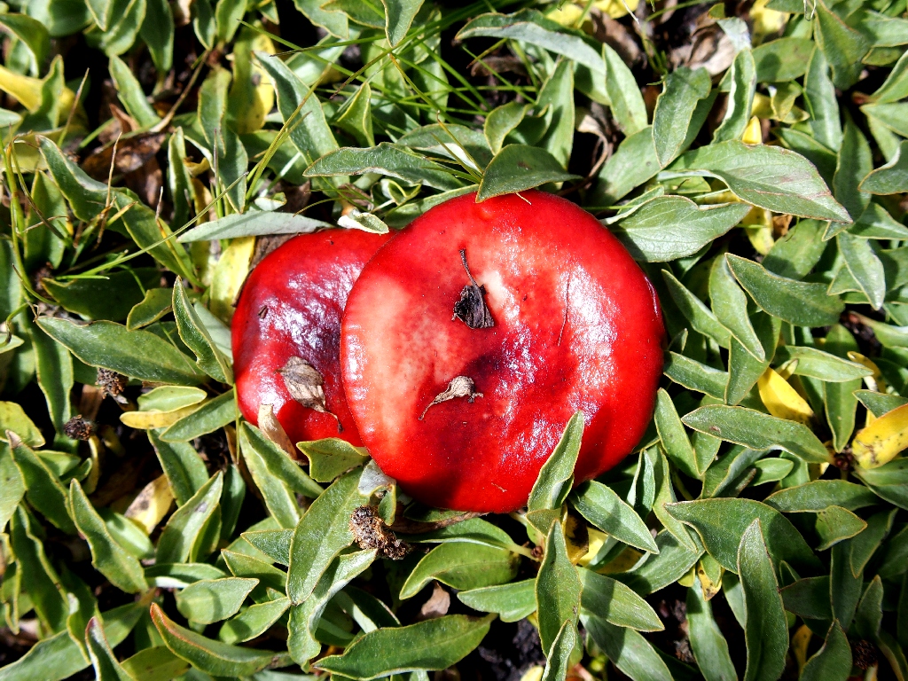
Roundheads
Emetic Russula
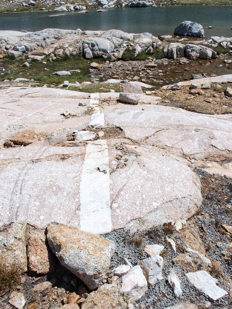
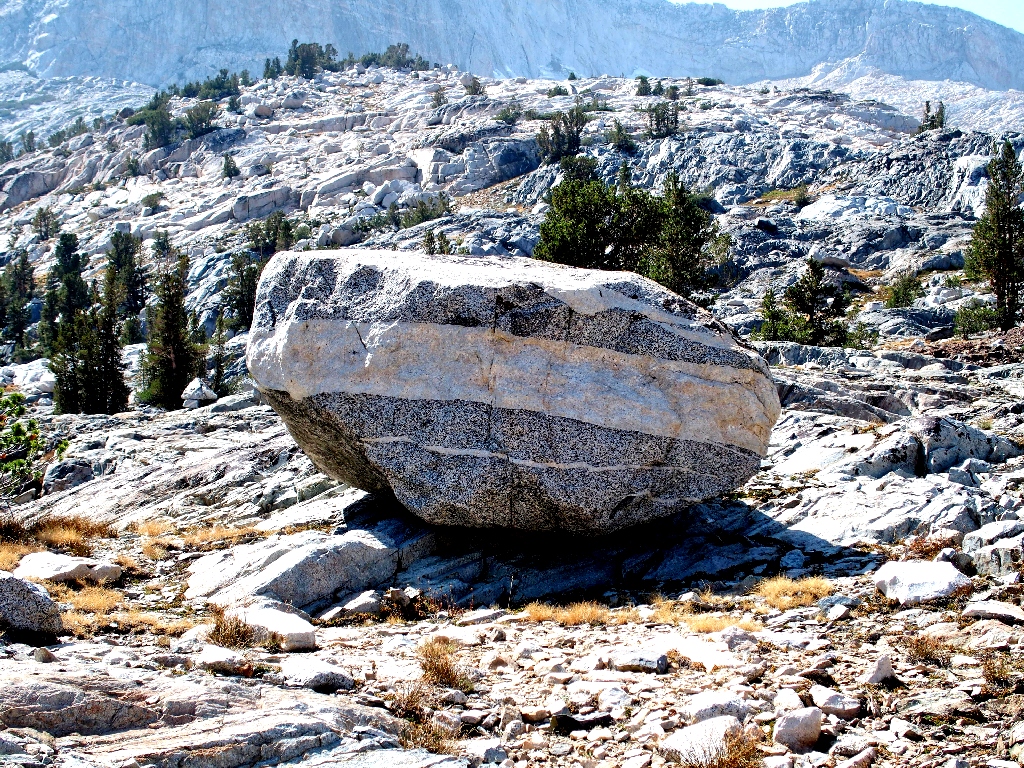
At the head of the canyon is a giant rock. When I inform the others that the lunch table is on top of it, I get some quizzical looks.
The route becomes more interesting from here
Beautiful
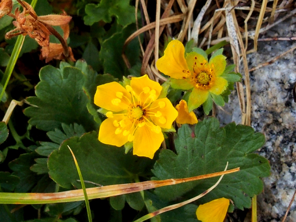
Fanleaf Cinquefoil
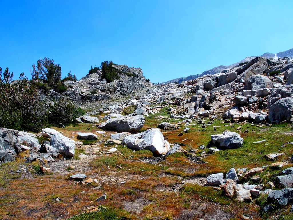
As we ascend a big talus jumble, water is flowing beneath our feet. I find this scramble rather delightful, because there always seems to be a relatively flat boulder to step on.
Easier than it looks
The passage narrows such that we must deal with some running water first-hand.
In the springtime, getting through here could pose a real challenge
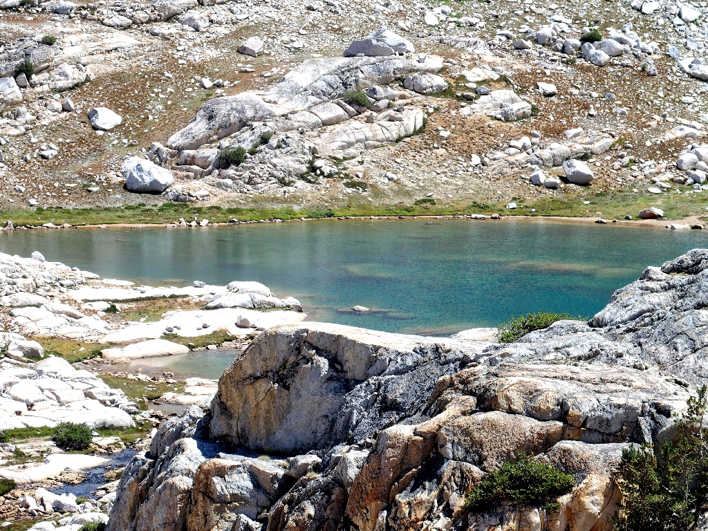
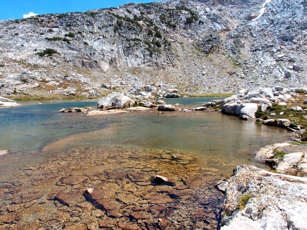
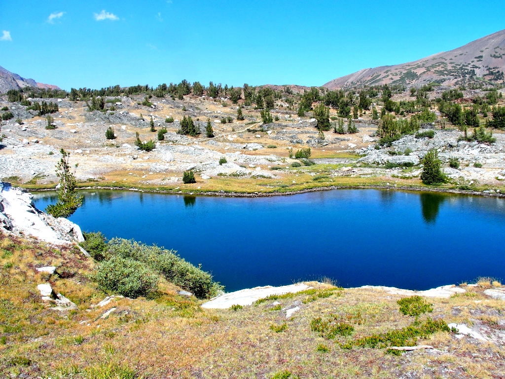
Our efforts are rewarded, however, by the appearance of the elusive Lake #4, which has been hanging above us all along.
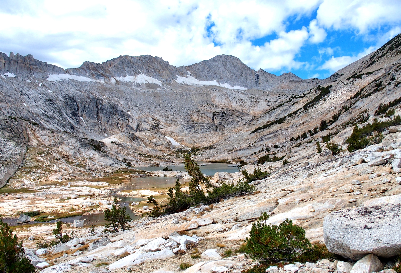
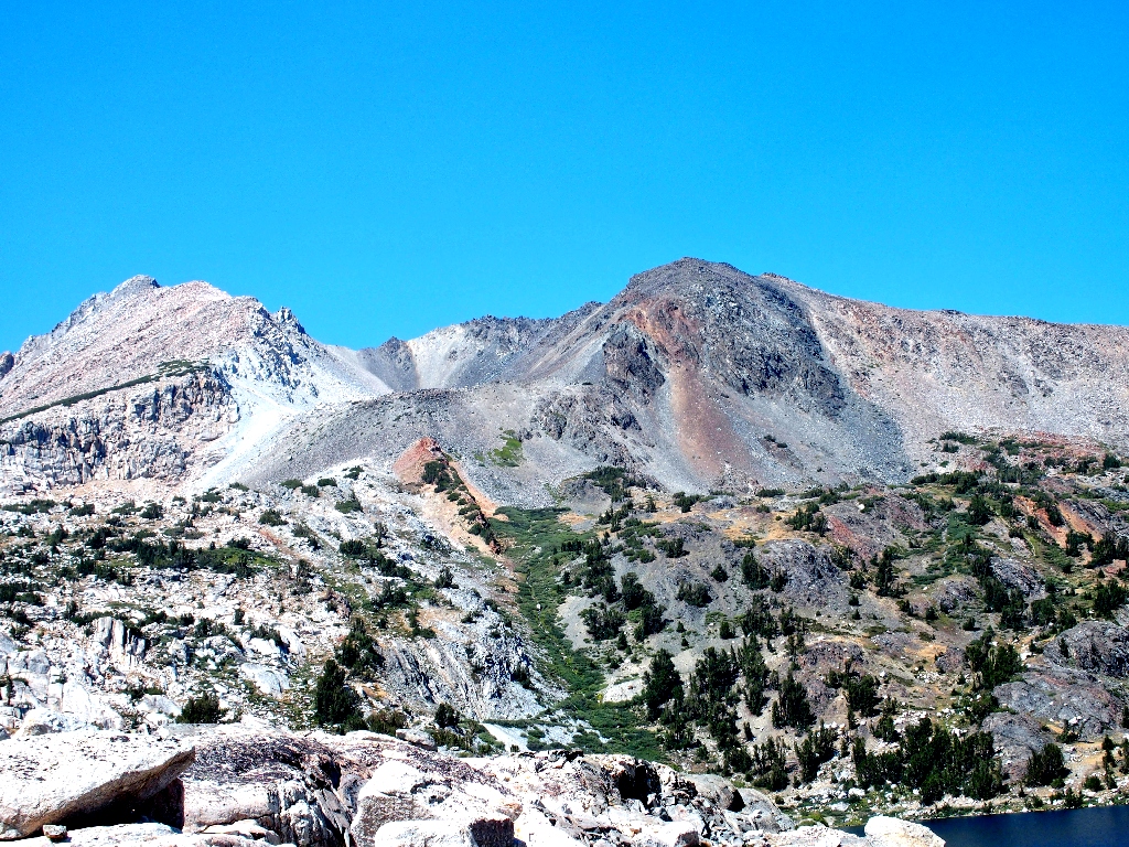
The Conness Glacier is right above us
That is a so-called rock glacier — normal moving ice that happens to be covered by scree. This one also happens to be the northernmost glacier of its size in the Sierra Nevada.
Exquisite colors
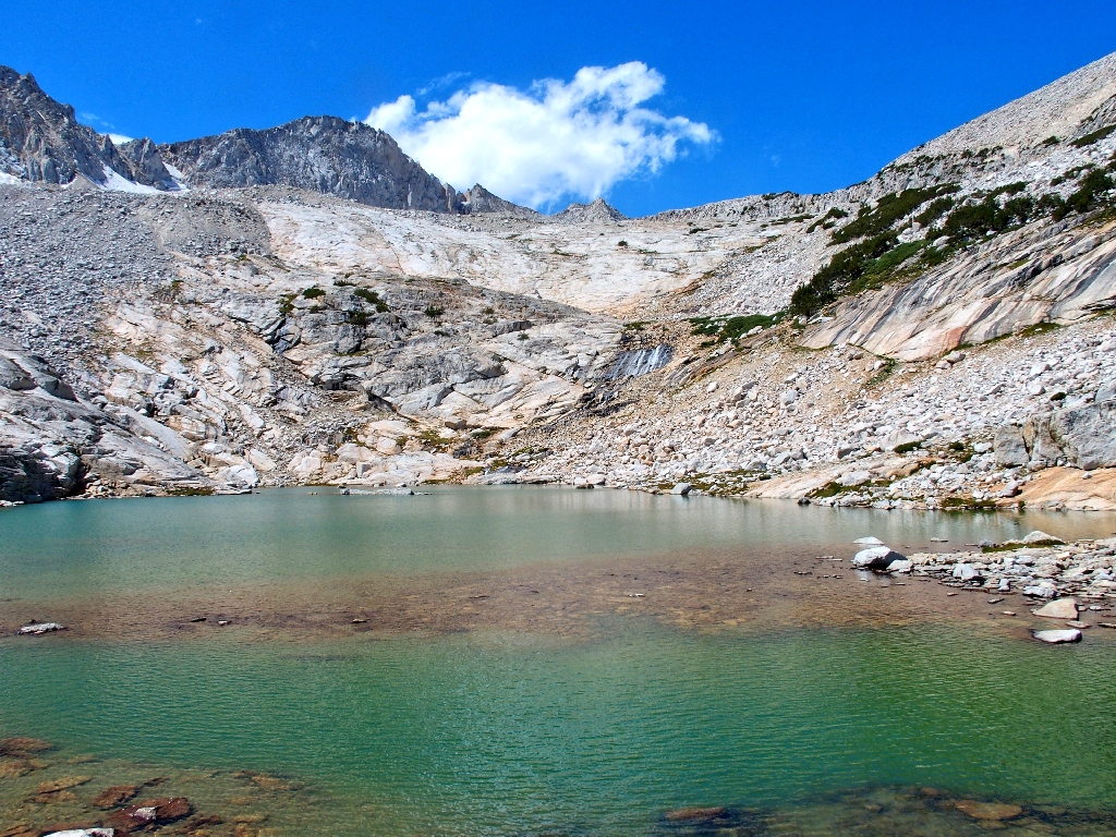
Cirque lakes are particularly beautiful
Feeding the lake is something worthy of a closer look:
Oh, my!
There is another little lake up there, but we will not be scrambling up another five hundred feet in order to see it.
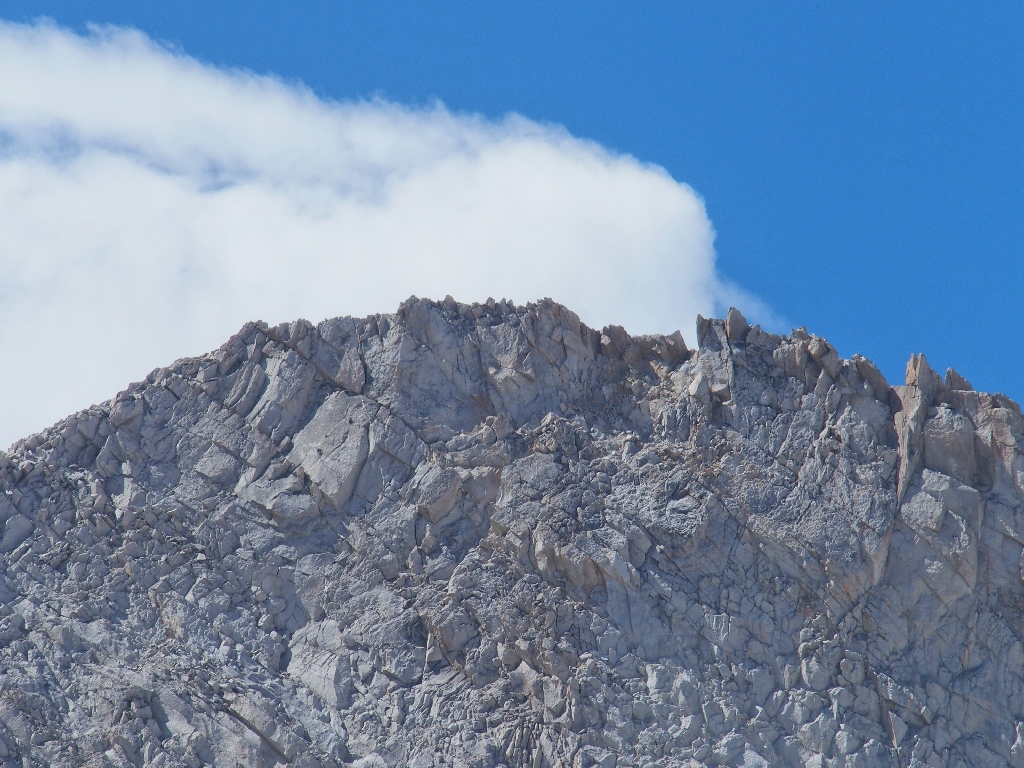
No climbers are visible at the top of the mountain
Mount Conness is 12,589' in elevation. North of here, only two peaks in
the lower 48 states are taller — Mount Shasta (14179') and Mount
Rainier (14411'). The peak is named in honor of John Conness —
an Irish immigrant who is owed a debt of gratitude by everyone in the world.
That's right (see the Addendum).
Clambering up Lunch Rock
The summit of this monolith is my traditional local snacking place, for obvious reasons.

This is why I go hiking
Lunch at nearly 11,000 feet
Great colors
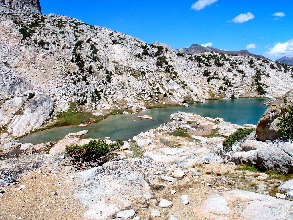
Another lake awaits us
There are many ways to get off of this rock; I opt for one that heads directly toward the little tarn nearest the glacier.
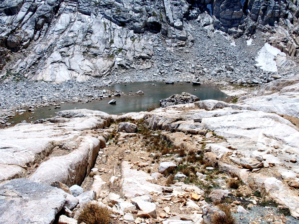
Lake #5
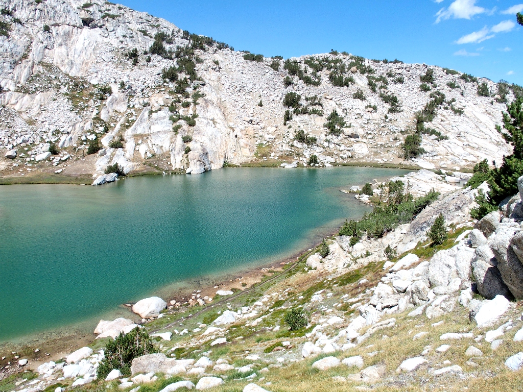
Just below the glacier
I wouldn't mind if Lake #6 were my back yard
This dike merits a view from two directions
Tarns are special
Now we need to get back down there
A minor hunt commences for a suitable route. Although it isn't the ramp that
I have used previously, a nearby grass-laden slope looks friendly enough.
A trail is down there...
...and now, so are we
That was fun, but now we get to hunt for something else — a way to get back across the lakes.
Life is good
Across the way, near our scary scramble, all vestiges of the illicit campsite seem to have disappeared; so I guess that the climber couple will not be caught after all.
My favorite photograph of the day
The hoped-for crossing materializes in the form of a man-made bridge of stones.
This is a great crossing, or is it?
At her turn, Eileen stumbles and falls onto a boulder; fortunately, it is big and flat, so the damage is mininal. In fact, within a couple of minutes, she is back in stride. Although she is even older than I, Eileen is tough.
Back in action as if nothing had happened
Unbeknownst to the others, we are about to embark upon Part-B of the trek. Climbing back to the top of the ridge that we had scaled earlier, we pause a bit to rest and regroup.
Been there, done that
Now I enjoy informing the others that we are entering a wormhole of
sorts — a passage to another world — because that is just
what happens here. A few more steps northward reveal a new collection of lakes
that is just as spectacular as the other one, while sporting a largely different
personality.
Heart of the Twenty Lakes Basin
The basin's backdrop includes yet another noteworthy feature:
I call it Rainbow Mountain
To our left is the beginning of Mill Creek, which runs down through Lundy Canyon to the north.
North Peak has its own rock glacier
An easy descent on the slabs
Somewhere on this slope we cross the boundary of the Hall Natural Area, into the Hoover Wilderness.
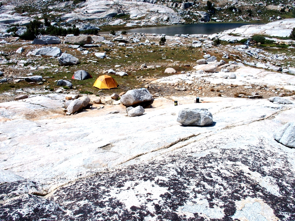
This campsite is legal
That's where we were
Cascade Lake falls into Potter Lake, which is unnamed on the old topo maps
The hiker down there is the first person we have seen in hours
At one point, there is the option of a rock-hop or a walk up and over the rocks. Paul and David go for it, while Cindy, Eileen and I circle around.
Keeping our feet dry
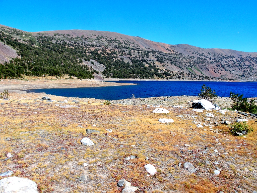
Steelhead Lake
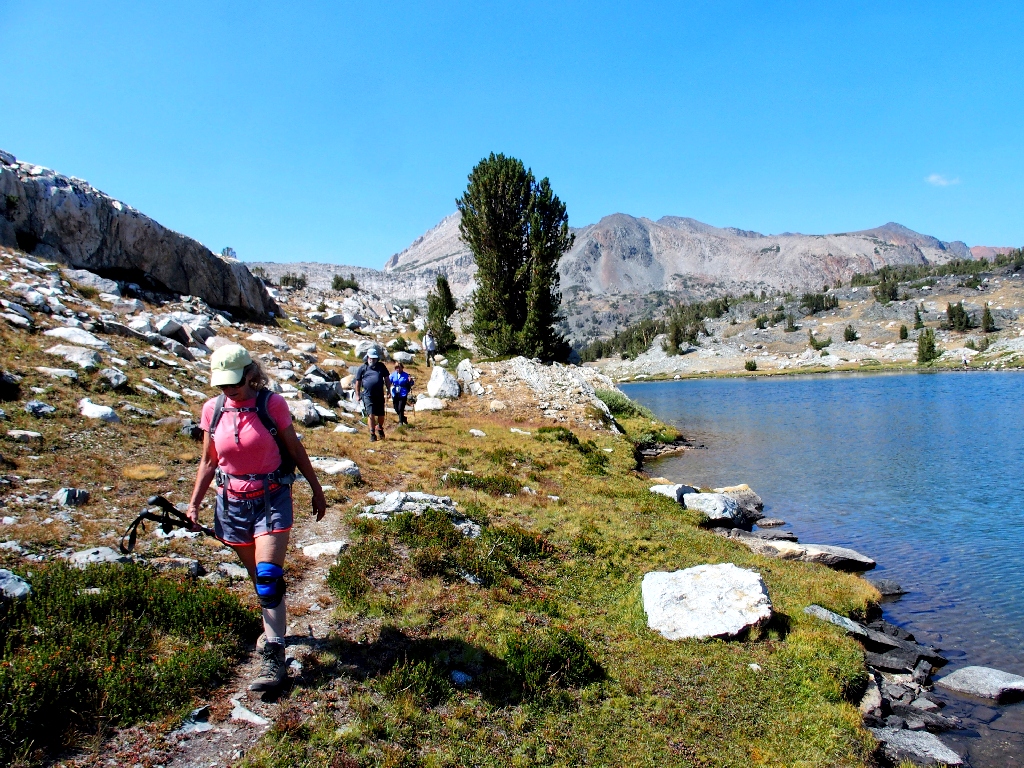
We can see the main trail running alongside the far lakeshore.
Excelsior Mountain and Rainbow Mountain
Abruptly, we are offered a choice of turning southward onto a spur trail. The hiker we have been following has done just that.
That route looks like fun, and it keeps us off the main trail!
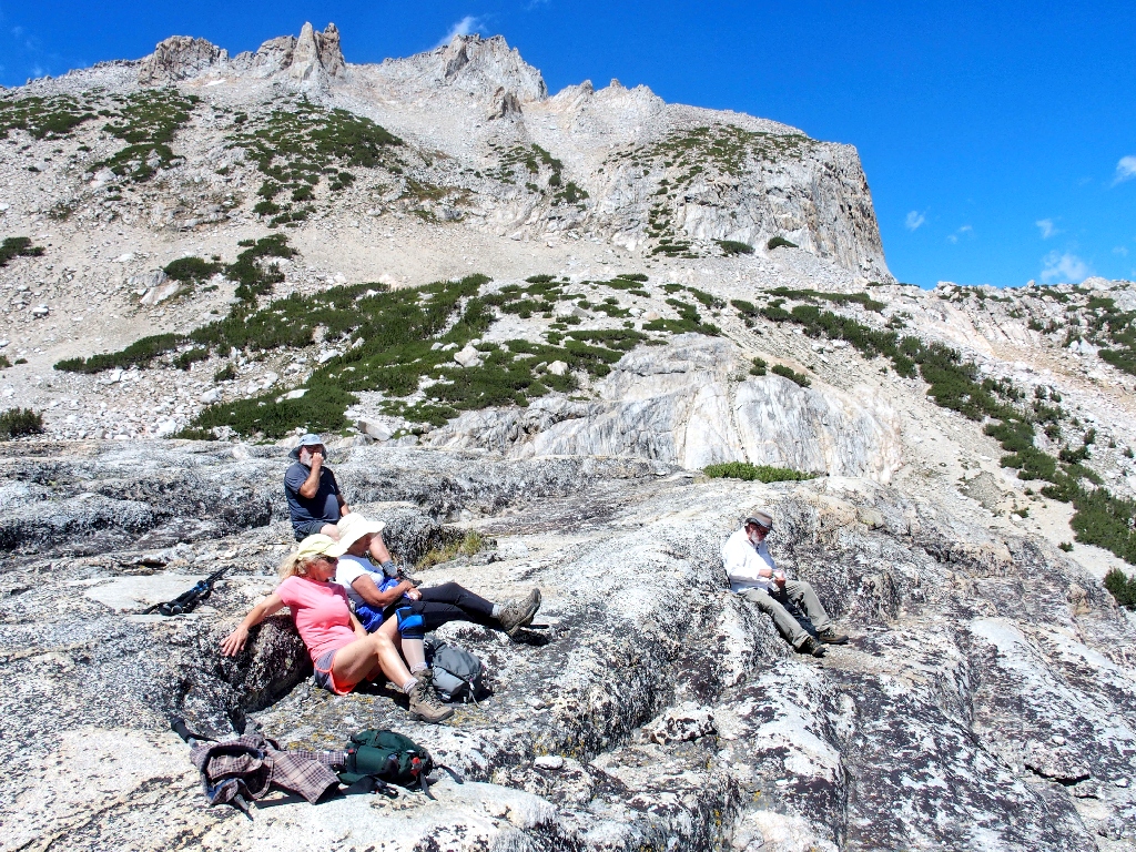
Atop the interim pass, it is time for the requisite group photo.
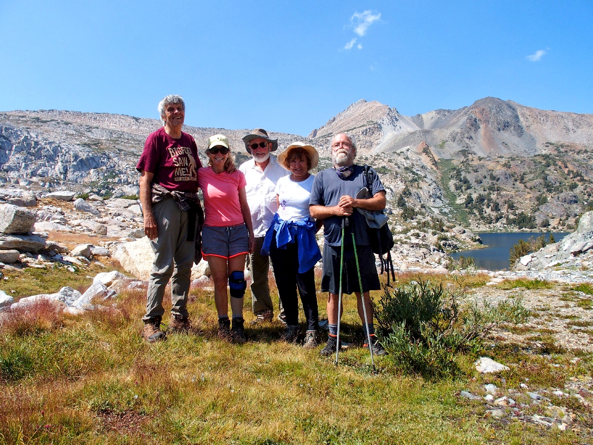
A happy gang
Plugging along on this new route
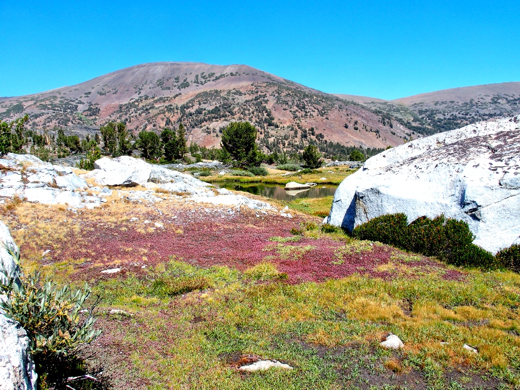
Based upon prior visits and photographs, the next lake is my area favorite:
Wasco Lake
Having expected to drop down earlier, it was my intention to traverse the other side of that lake; but here we are.
The main trail meanders over yonder
Eventually, a way down to the water does appear, but not until we are well past the end of the lake and it would be well out of the way to detour back.
There is a great little trail here, though
In any case, it hardly matters where the path leads, as long as we continue to head in the generally desired direction.
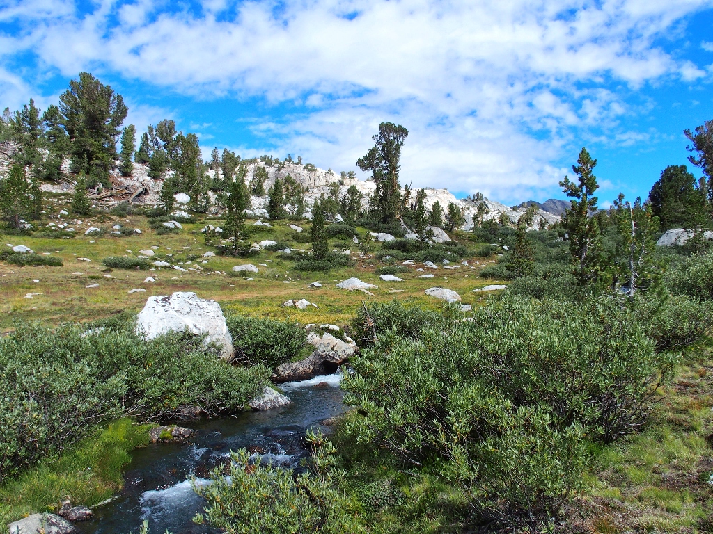
Another nameless tarn
This Dike Rock is even better than the one we saw two days ago
More Hoover Wilderness colors
I have been watching the clock closely. It is less than fifteen minutes
to our scheduled pick-up time. If we miss the connection, then it would
be at least a half-hour wait for the next boat. Trying to maximize
our chances, I head over toward the main trail, but encounter some resistance
from the others.
They want to go a different way
Finally, they all do follow me, although it really didn't matter; in fact,
Paul's choice would have been more in keeping with our general approach —
no trail!
Back at Greenstone Lake
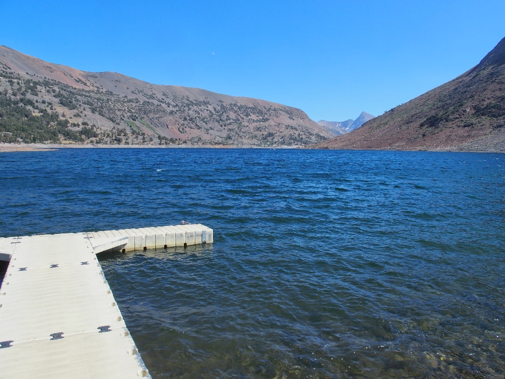
Making it to the boat dock with five minutes to spare
The boat taxi arrives three minutes late, but we forgive them. I have managed to lose my receipt; but the boat driver remembers us, so all is well.
Approaching the resort
To add a bit of perspective to the hike, here is an overview of the Conness Lakes, shot from high up on the Conness Glacier:
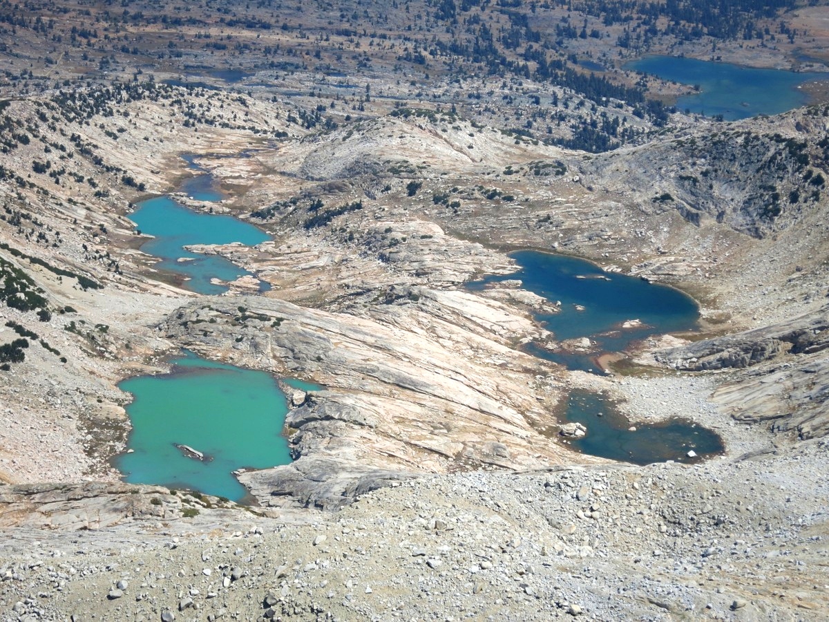
(not my photo) ⇔
§: Well, what a grand and diverse outing that was! I even traversed
a couple of miles of new trail myself. Although there could have been a few more
flowers, everything else about this walk was outstanding. I got my uncommon
experience today, by sharing my favorite high-elevation hike with four
appreciative companions. For me, it really doesn't get any better than that.
| Scenery |  |
| Difficulty |  |
| Personality |  |
| Adventure |  |
| Flowers |  |

ADDENDUM
On June 30, 1864, the Yosemite Valley Grant Act was signed into law by President Lincoln. This legislation granted to the State of California the Yosemite Valley and the Mariposa Grove of Big Trees, to be "forever preserved and improved as a place of public resort".
In fact, that was the first time that any government anywhere had set aside scenic lands specifically for public enjoyment. In so doing, "America's Best Idea" has served as a model and inspiration for the worldwide establishment of parks and recreation areas.
And that bill was introduced to Congress by — you guessed it — Senator John Conness.
