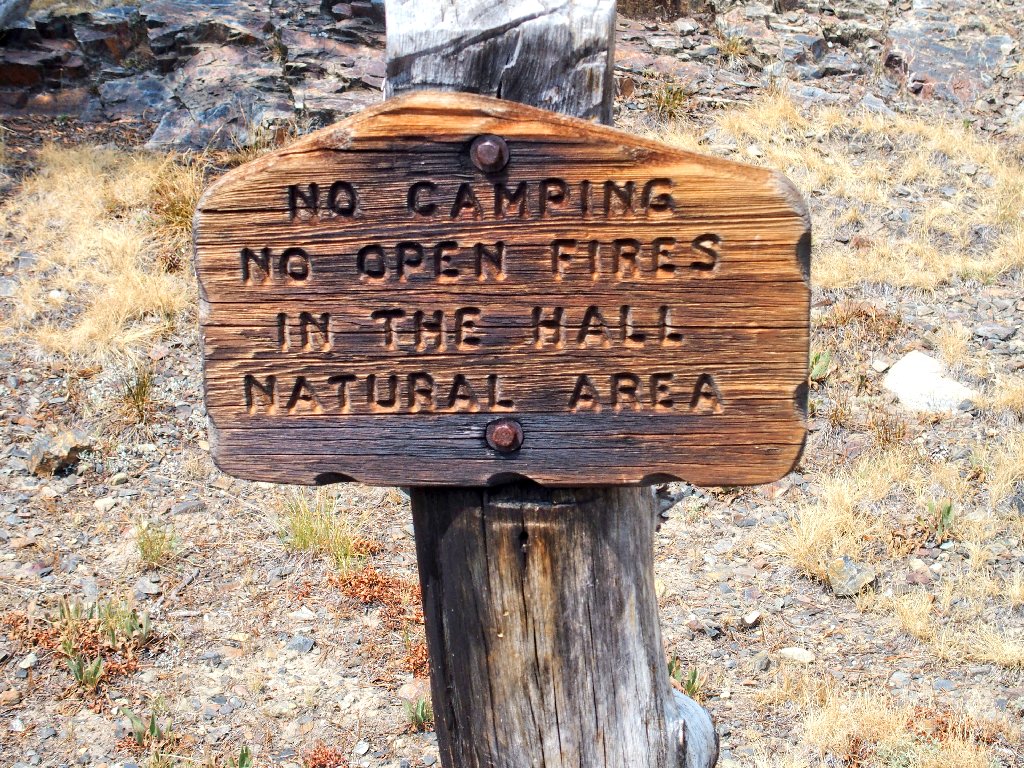
Hall Natural Area
|
Bennettville Lakes Loop Hall Natural Area |
August 23, 2020
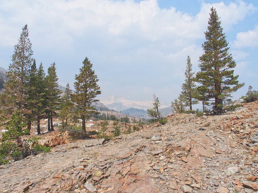
California is currently burning up — again, with more than 360 active wildfires covering an area greater than that of the state of Rhode Island. The air quality in Sacramento is in the red zone, and currently it is nearly as bad on the other side of the mountains.
The combination of these conditions and the current coronavirus business having left
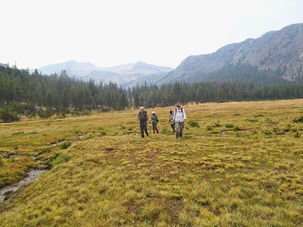
everyone rather stir-crazy, three friends and I have driven over to the Eastern
Sierra to do some hiking, and a fourth friend from Carson City has met us as well.
We had to go the 'long' way because of fire-related road closures.
The air quality in the Lee Vining area is even worse than was hoped, so I have opted
for a hike that will not be heavily influenced by distant views. Most of the route
is not on an officially maintained trail; so it is not well-traveled, which is
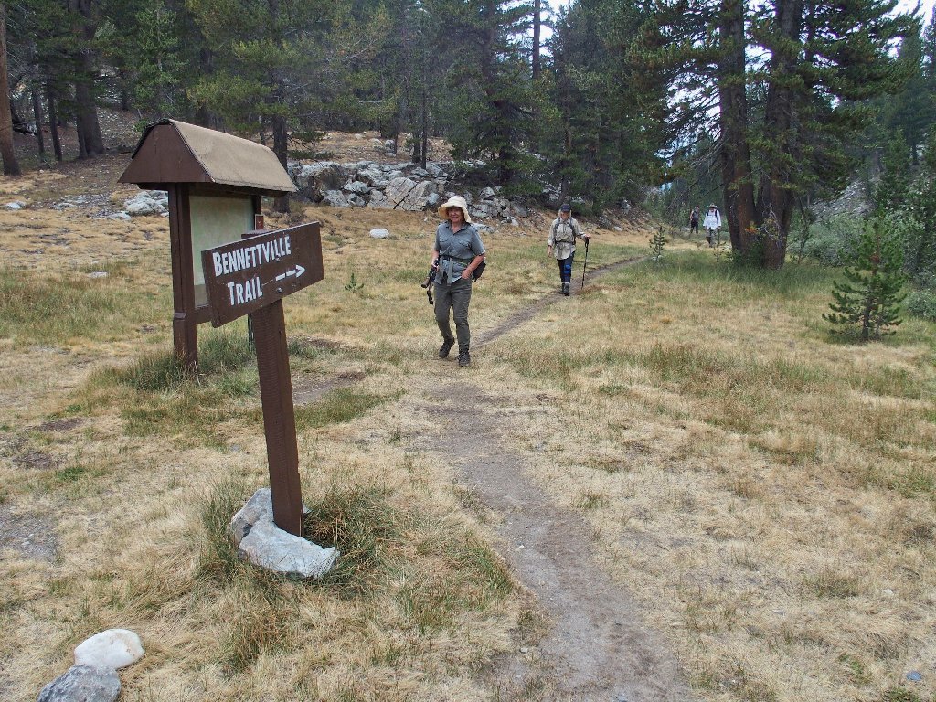
perfectly fine. The trailhead has been moved from its original location near
Tioga Lake, over to the parking lot beside the Junction Campground on Saddlebag Lake
Road.
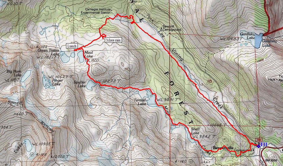
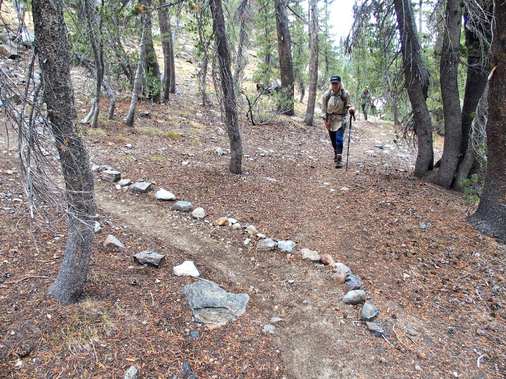
Getting started
When I last visited the upcoming chain of lakes eight years ago
(Hike #180), before this trailhead existed, I misguessed the
cross-country access and ended up doing some extra climbing, thereby missing
the old mining camp completely. It should go better today.
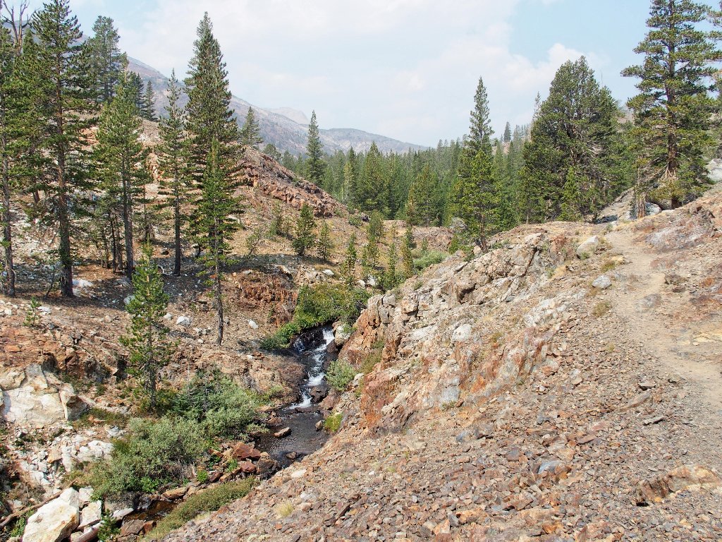
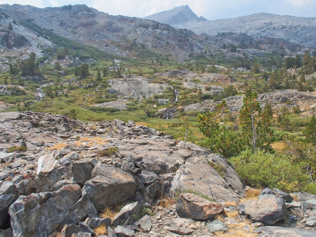
Clouds are forming above the unclean air
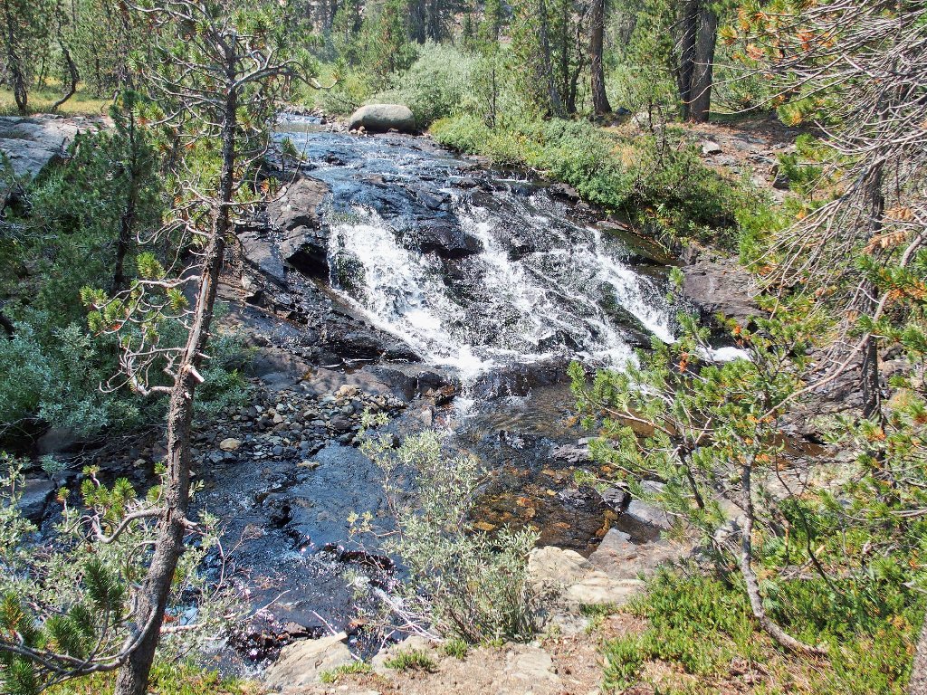
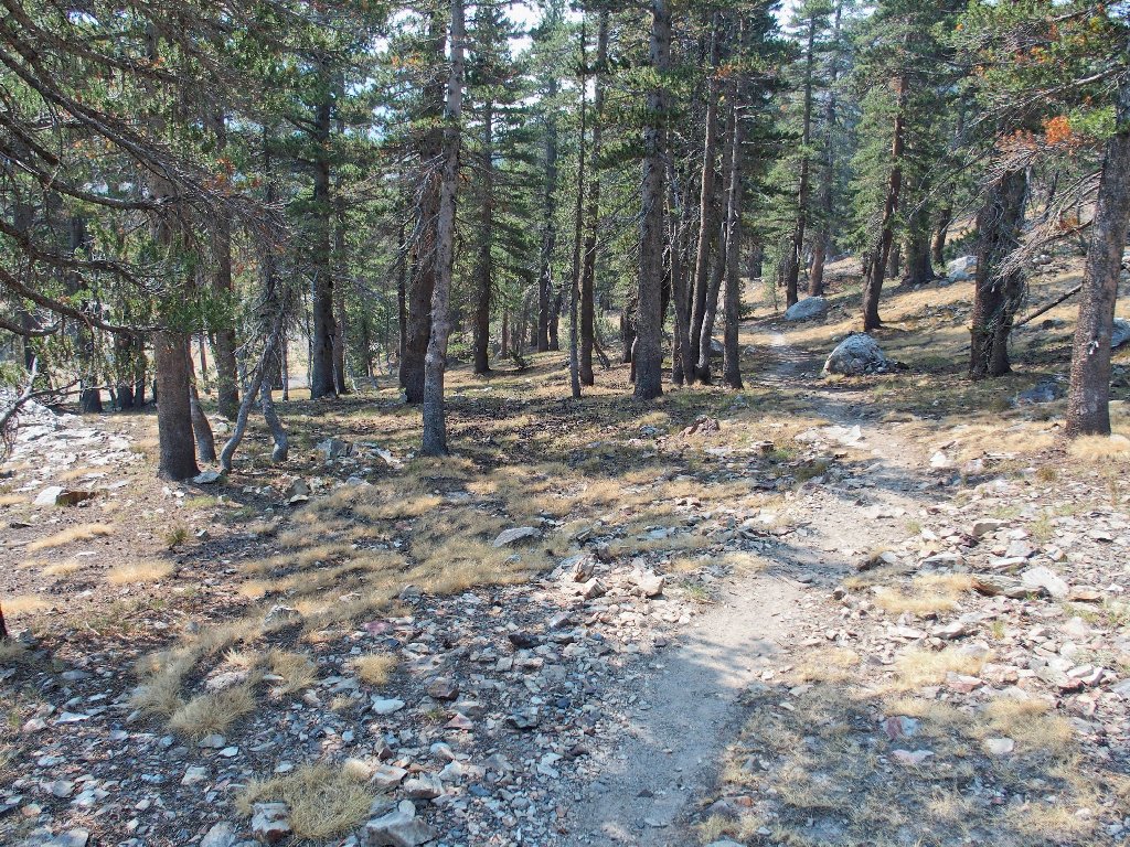
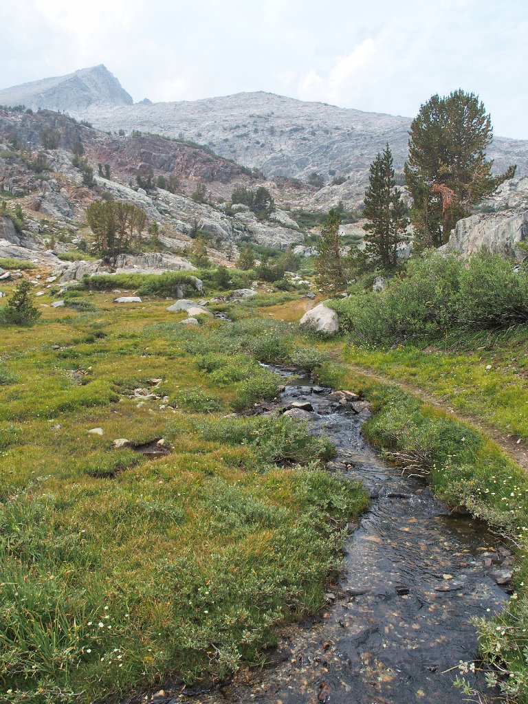
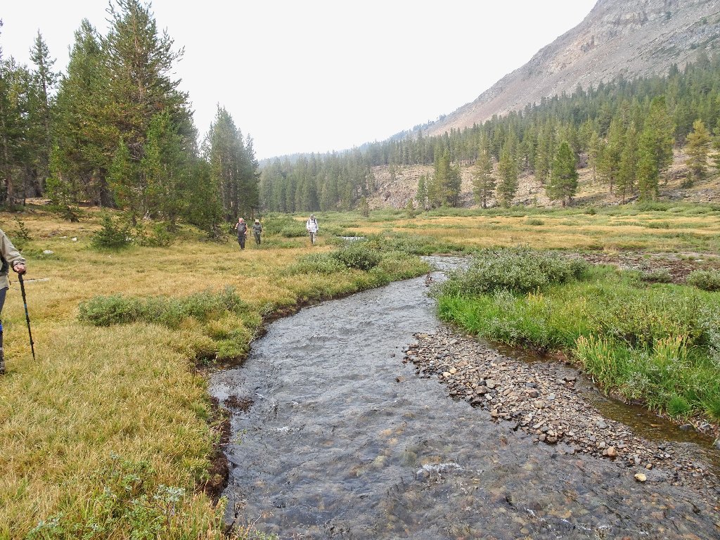
Mine Creek is flowing nicely
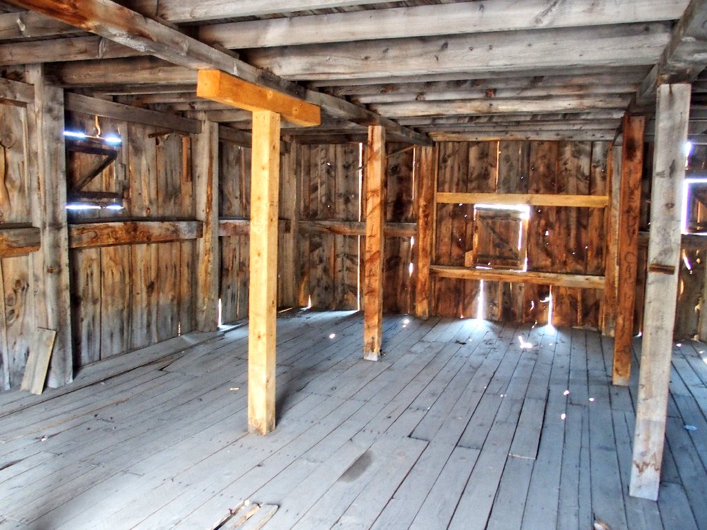
Withing fifteen minutes we have reached the Bennettville settlement, of which only a couple of buildings remain. The Great Sierra Wagon Road was constructed to accommodate the nearby Great Sierra Mine; so even though it never actually made any money and folded after just two years of operation, the mine's incomparable legacy remains in the form of the magnificent Tioga Road through Yosemite Park.
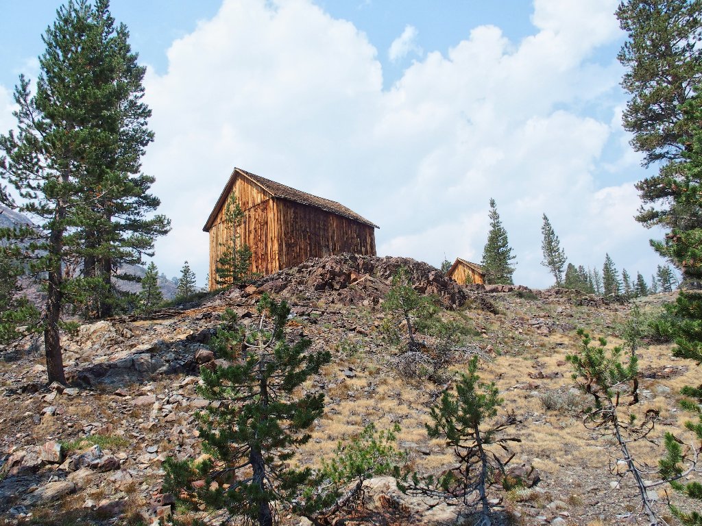
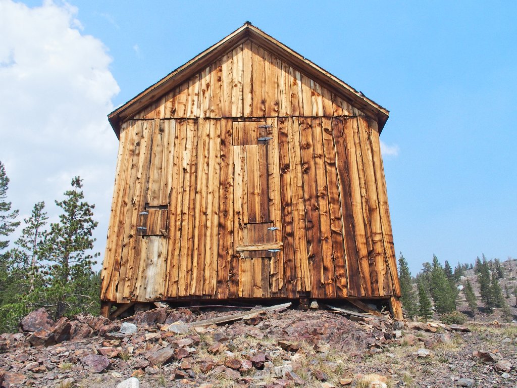
Bennettville
A ghost town is not why we're here, however; there are many lakes to visit!
The trail leads northward
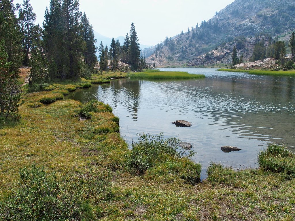
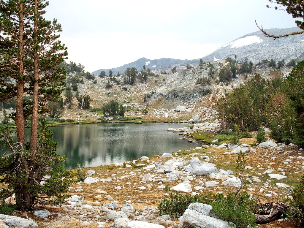
The first item in the chain is long and skinny.
Shell Lake
Lake #2
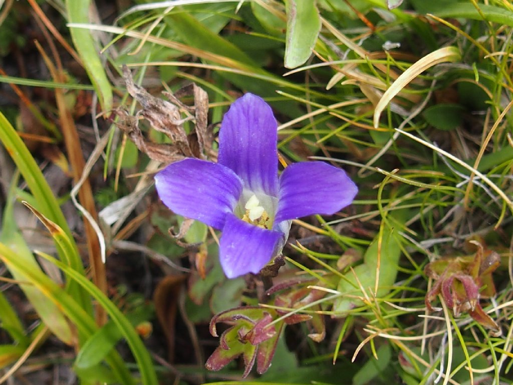
Sierra Fringed Gentian
Knotweed
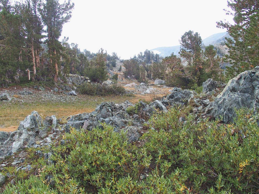
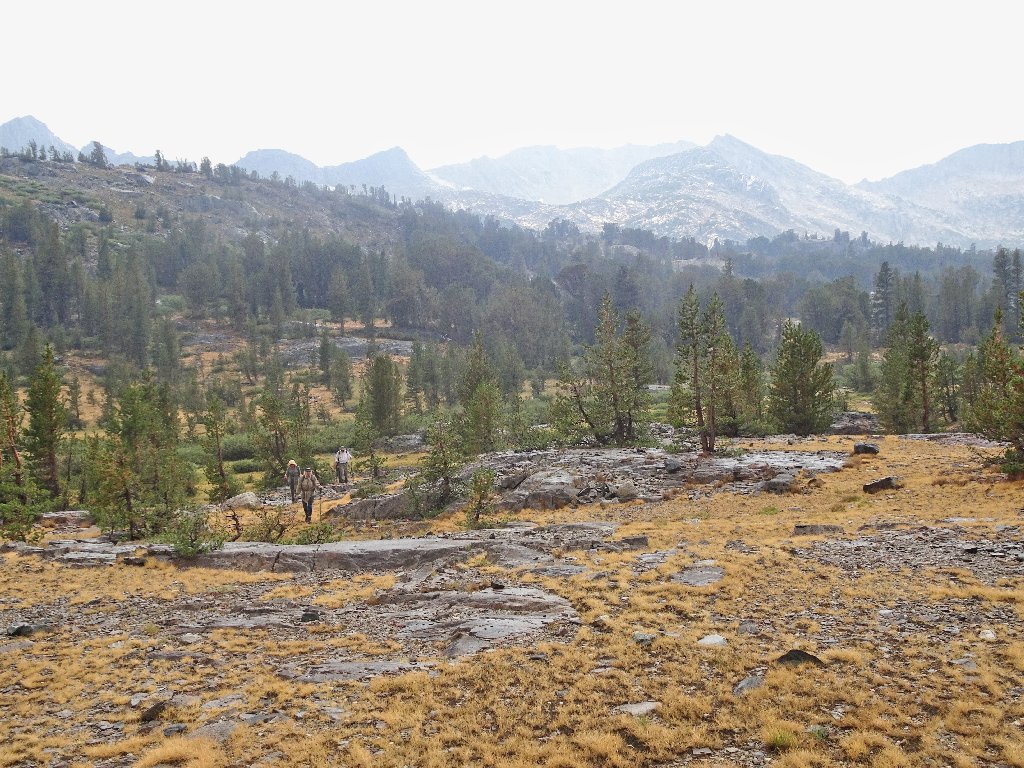
Entering my favorite hiking venue
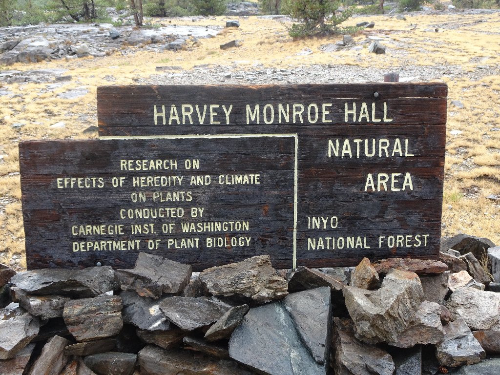
Harvey Monroe Hall (1873-1932), a botanist, was a faculty member of the University
of California, Stanford University, and the Carnegie Institution of Washington.
This 3,900 acre Research Natural Area was established in 1933.
Fantail Lake
Eileen's hat keeps blowing off because it has no strap

Those are not actual floating islands, but they are pretty nifty
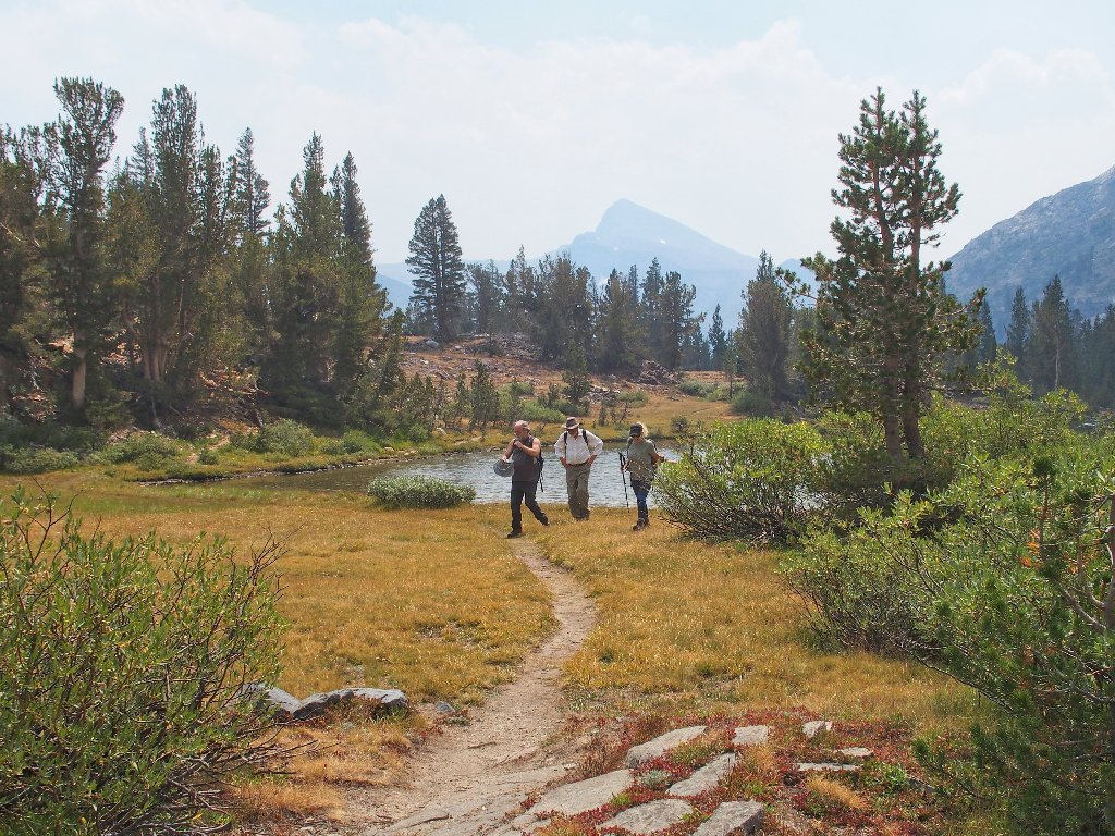
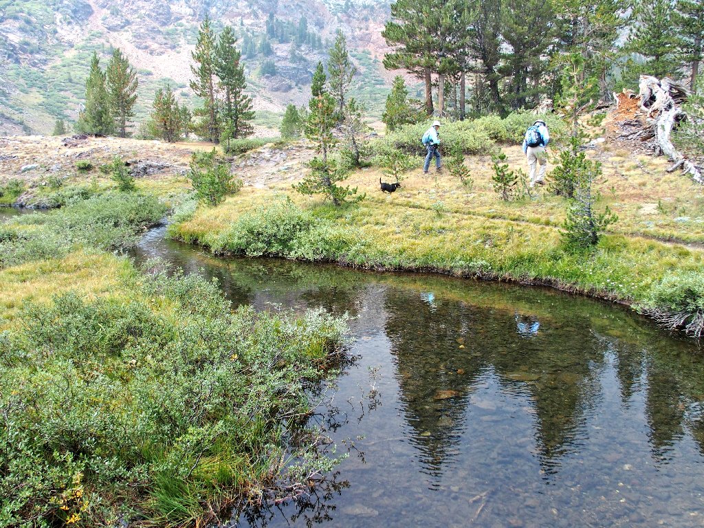
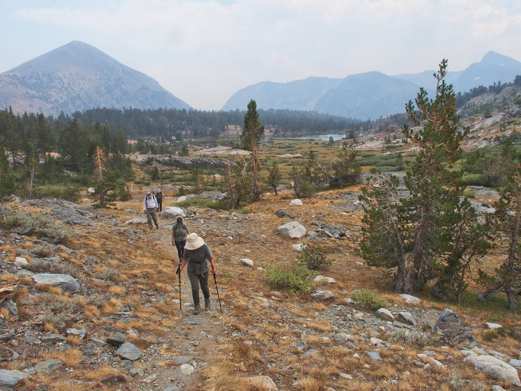
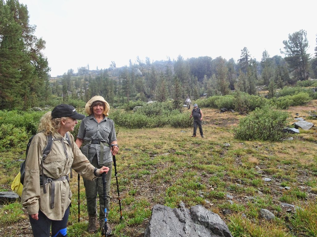
David, Paul, and Cindy amble along
A storm does seem to be brewing ahead. I offer the group the option of curtailing the mission by simply striking off eastward from here and cutting the trail mileage by half, but no one seems interested in that.
Finally, some actual climbing
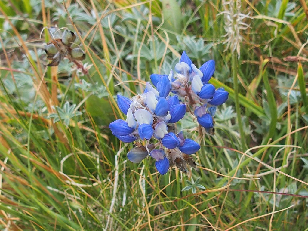
Brewer's Lupine
Alpine Aster
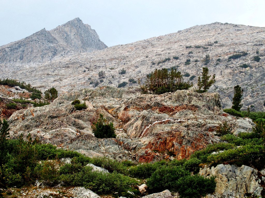
White Mountain, 12057', looms in the skyline
There also are eight other peaks in California named 'White Mountain'.
Tenaya Peak in the background
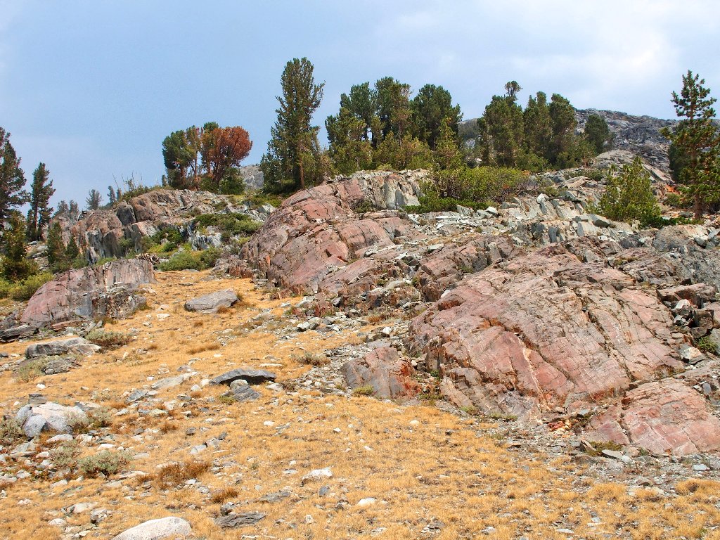
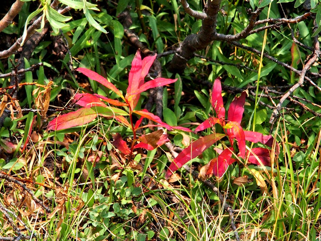
Colors
Patterns
Clouds are moving in
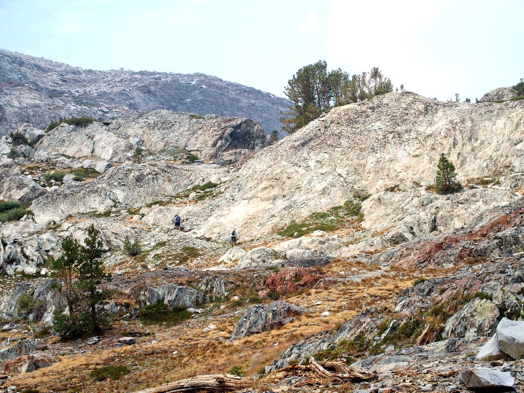
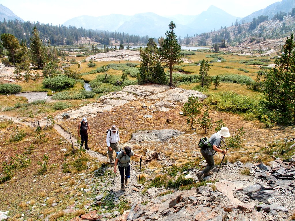
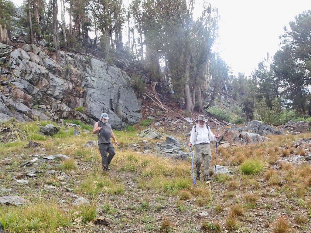
A pair of hikers on the trail ahead
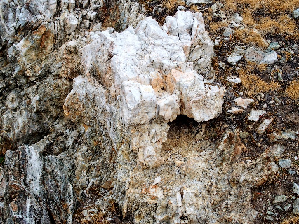
This Hall Natural Area actually is part of the Hoover Wilderness, which I revere for its amazing colors. Just around the corner is a perfect example:
I never have seen the like of that formation
Let's have a closer look:
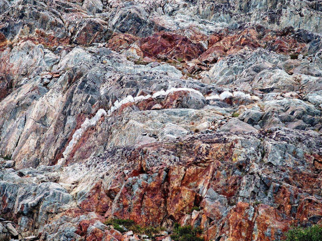
This is why I go hiking
My companions are not even commenting on these scenes, but my camera is ecstatic.
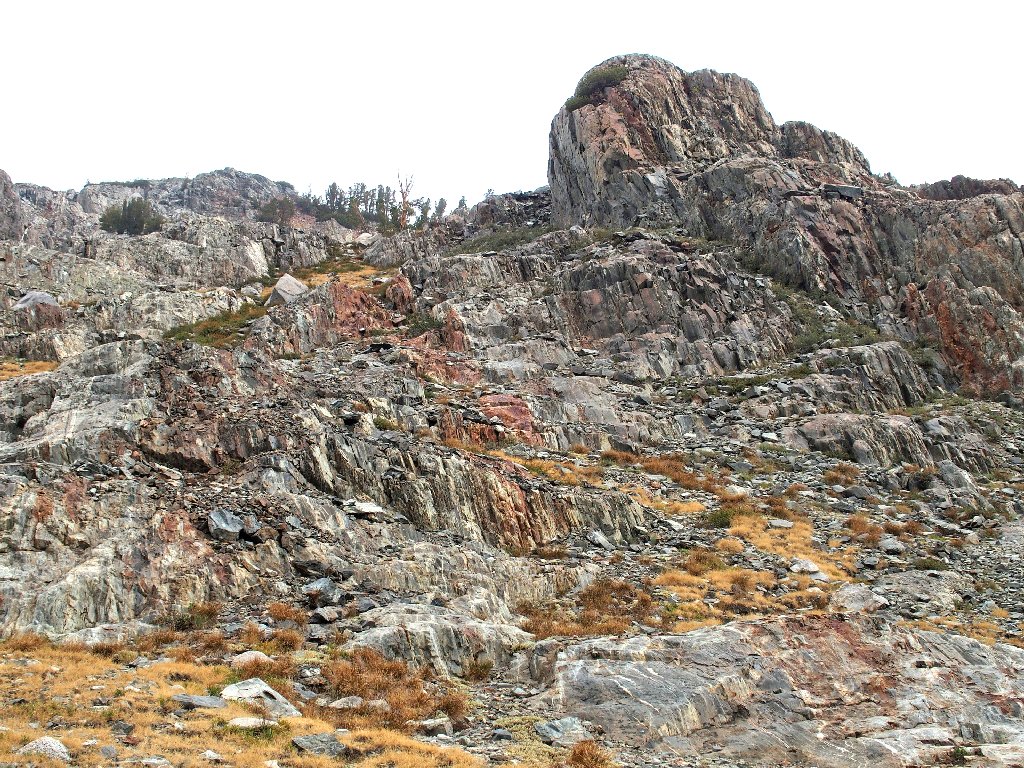
More amazing stuff
The inclement weather actually is doing me a service by obstructing the sunlight; colors are more vibrant this way.
In contemplation
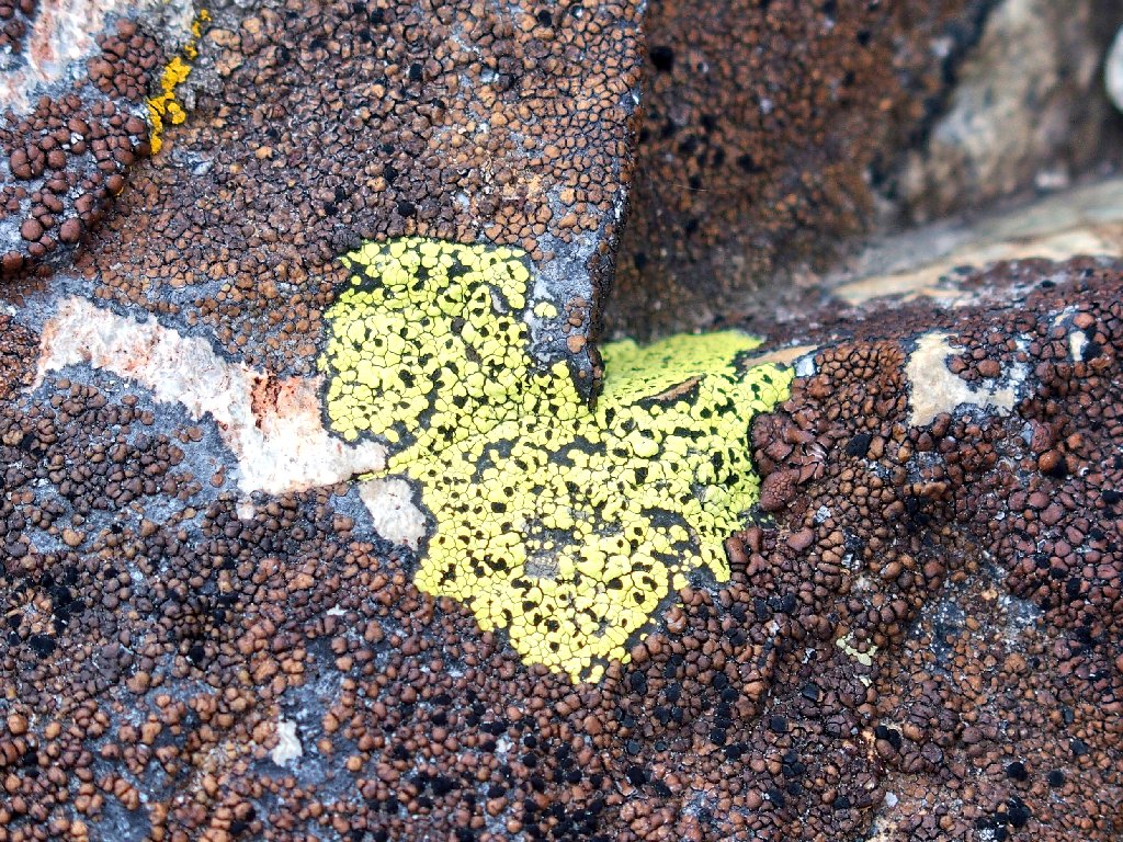
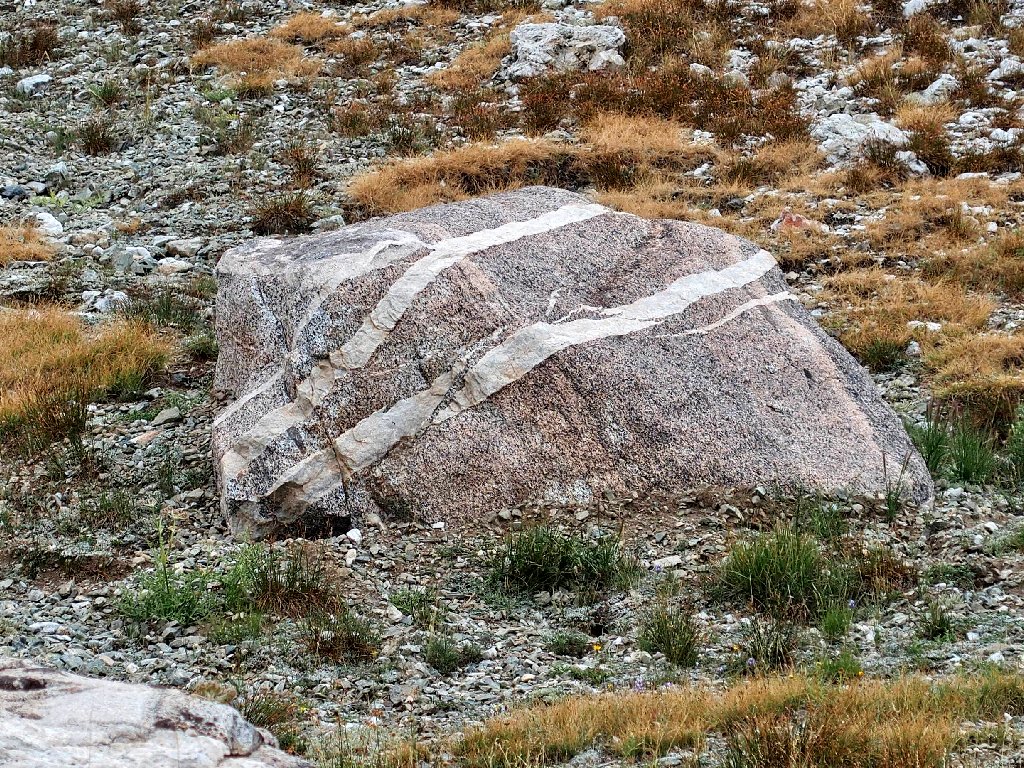
Bumpy Map Lichen at David's feet
More climbing
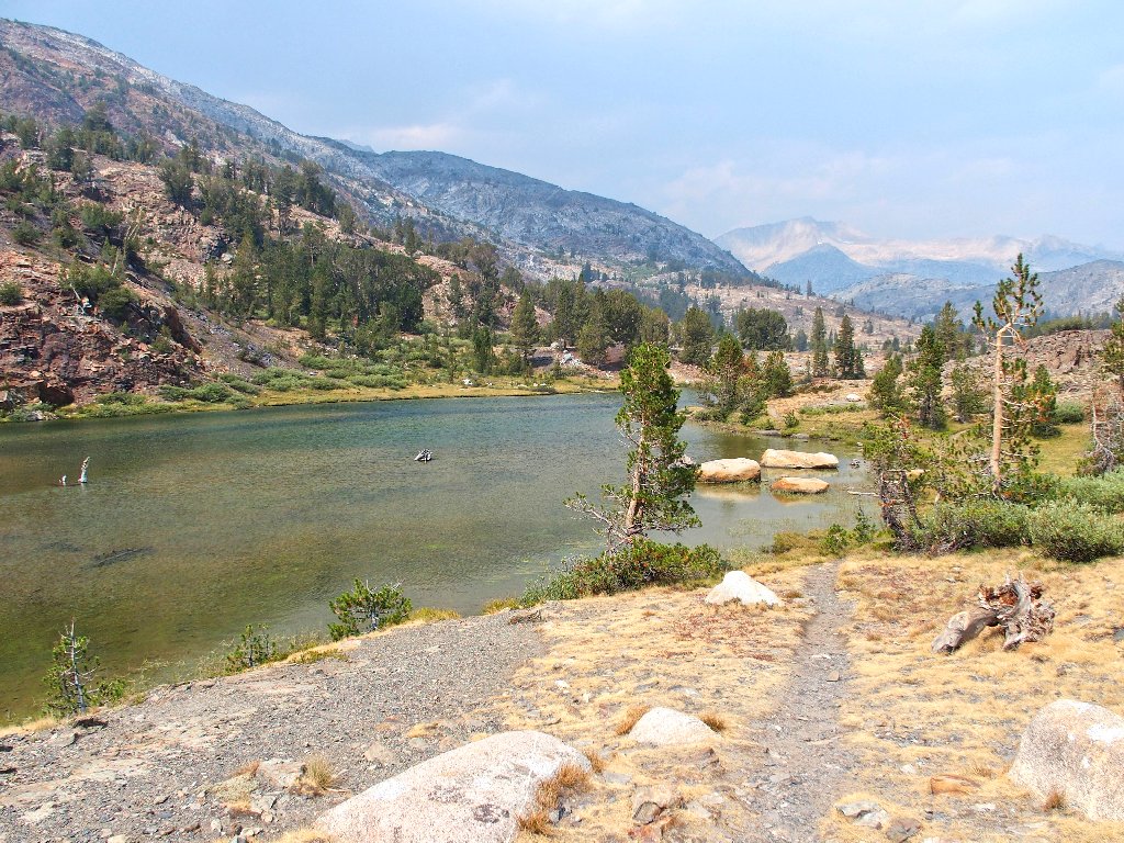
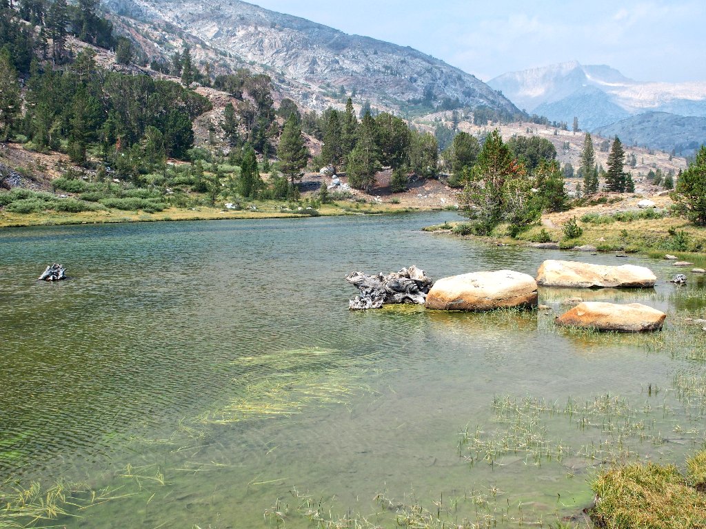
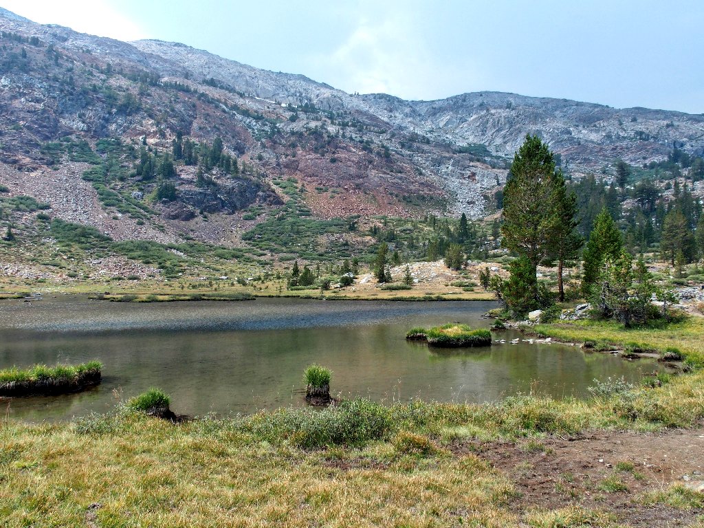
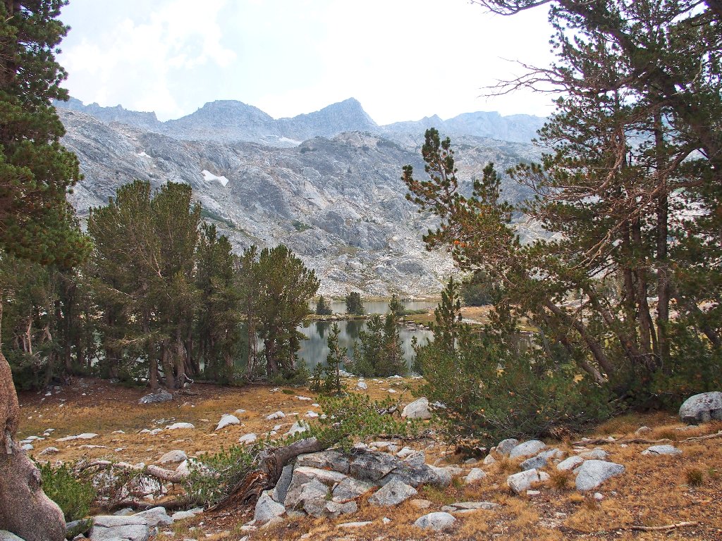
Spuller Lake, 10250'
The Reverend Everett Spuller named many lakes in 1932 — this one for himself.
Words fail me
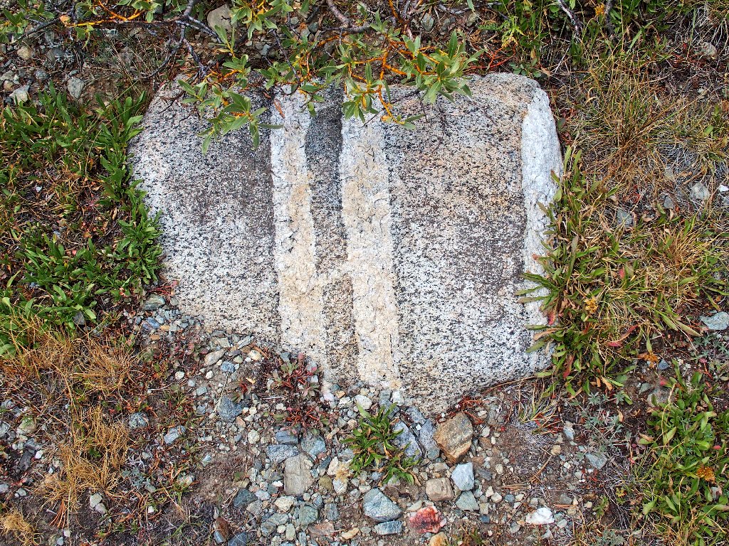
Dike Rock
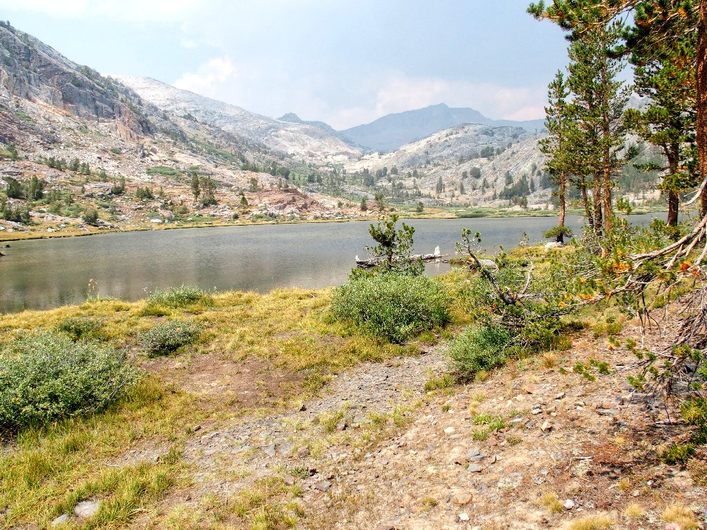
Presently we reach the interim pass and the vista that it affords:
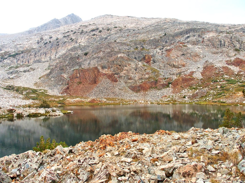
Two more sizable lakes down there
Quartz is what stymied the Bennettville Mine diggers
I take an unfortunate turn here, losing track of the use trail. By the time we reach the bottom of the hill, we are on the 'wrong' side of the nearest lake.
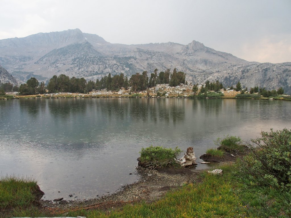
Maul Lake
In fact, "Maul" is a misspelling of the lake's namesake, Forest Service Supervisor William E. Maule.
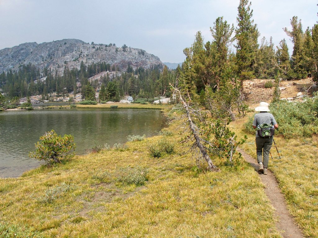
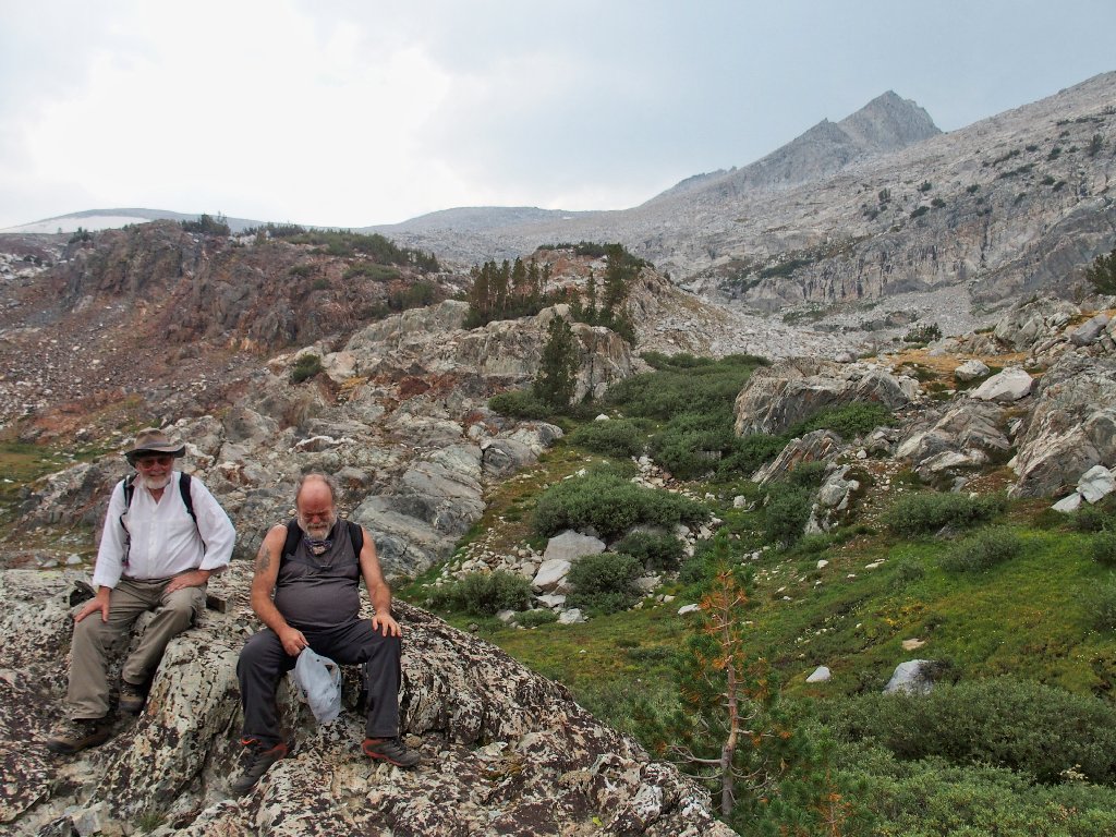
The two guys are taking their time
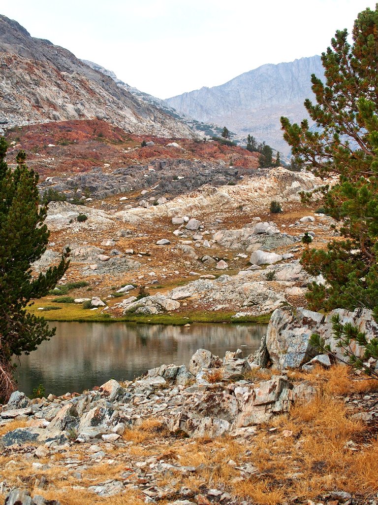
Two more lakes are about a quarter-mile to the west. Despite the threat of an impending deluge, the group opts to head over there so as not to miss anything.
Approaching a small section of Green Treble Lake
It is time for lunch. It also is time to find a tree to hide under.
Waiting out the rain
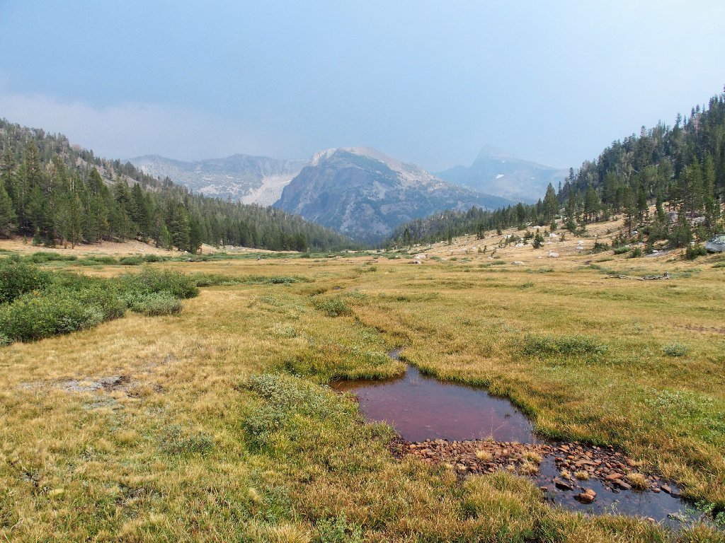
Watching the raindrops fall on the lake surface has its interest; but impatience ultimately prevails, so it is time to head out. There is another attractive lake in the area, but visiting it would add at least half a mile of walking. Doing that seems out of the question at the moment, so I head us toward where we eventually need to end up.
Bypassing that other lake and shortcutting the route will put us off the trail, however; and according to the topo map, this could be problematical. We need to lose a lot of elevation, and a long steep ridge is in our way.
Taking the path of least resistance
After cowering impatiently for another fifteen minutes in some trees while waiting
for yet another downpout to abate, it is time to make the best of it. All goes well
for a while, until we approach the anticipated edge of a cliff. Being caught without
adequate raingear is bad enough, and I generally love the adventure that tends to accrue
during "Ted-Hikes", but this one seems a bit out of control at the moment.
Not only does there not seem to be a good way to continue, but the dreaded "H-word"
(hypothermia) has cropped up. I am not having much fun right now.
Our luck is about to run out
Just to the left is a steep, wet gully replete with rocks and some grasses. That option seemingly being the least of evils at the moment, we plunge downhill for a good hundred feet, inching our way on the treacherous slope. Once that chore is finished, though, things begin to look up considerably. The terrain has more or less leveled out, and I believe that it will remain that way. Also, the rain seems to be letting up, which is great.
They still are trusting me for some reason
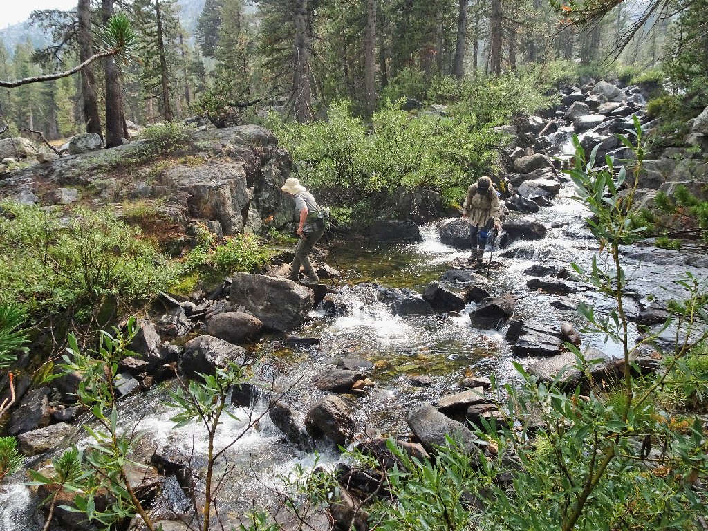
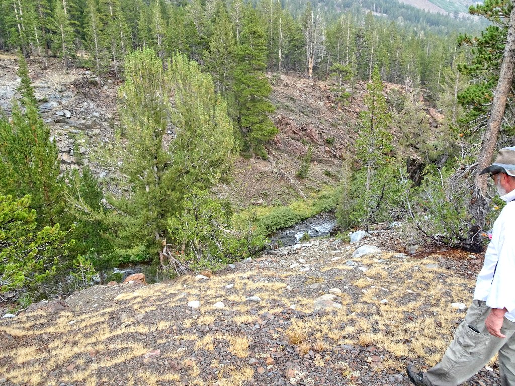
Encountering a creek, we must make a decision. Knowing what is ahead, and knowing that I probably will regret it, I opt for us to find a spot to jump across the brook, because I have spotted a familiar landmark on the other side.
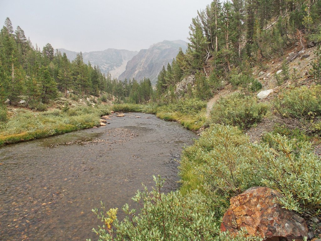
It's easy going now
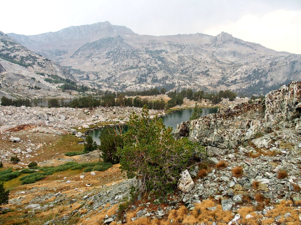
This puts us back on a real trail — one that is used by those opting for
the arduous one-day route up Mount Conness, but so what? Although it leads
to the Sawmill Walk-In Campground and the Saddlebag Lake Road, the plan
was to stroll down the meadows on the west side of Lee Vining Creek, all the way back
to the trailhead.
Doing so means that we must re-cross the little stream coming down from the Green Treble Lakes. A fisher's trail leads over there, but no decent crossing is available. In trying to find one, I manage to slip on some wet rock and slide up to my thighs in the rushing water, banging a hand on a rock in the process. I do manage to avoid drowning yet another camera, though; but this does mean that I'll have soaked feet for two more miles and perhaps most of tomorrow as well. These hiking boots do not dry quickly.
Eileen and Cindy find a way, so I follow them
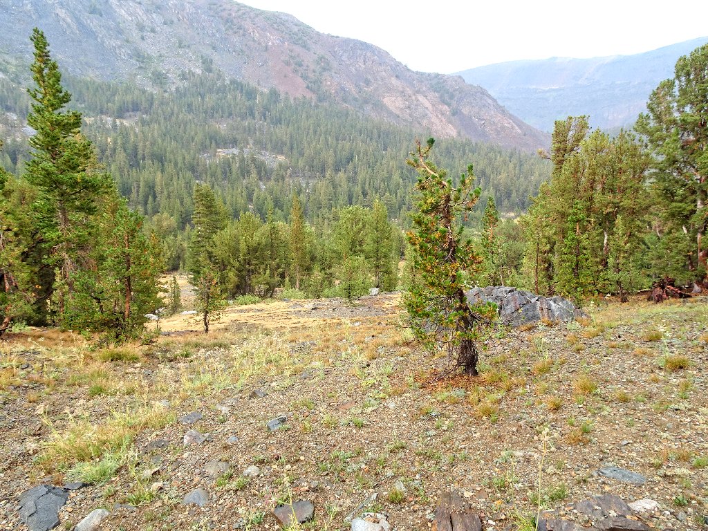
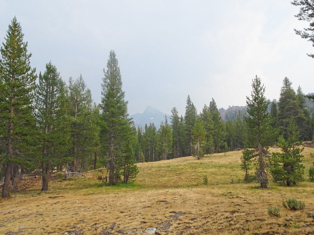
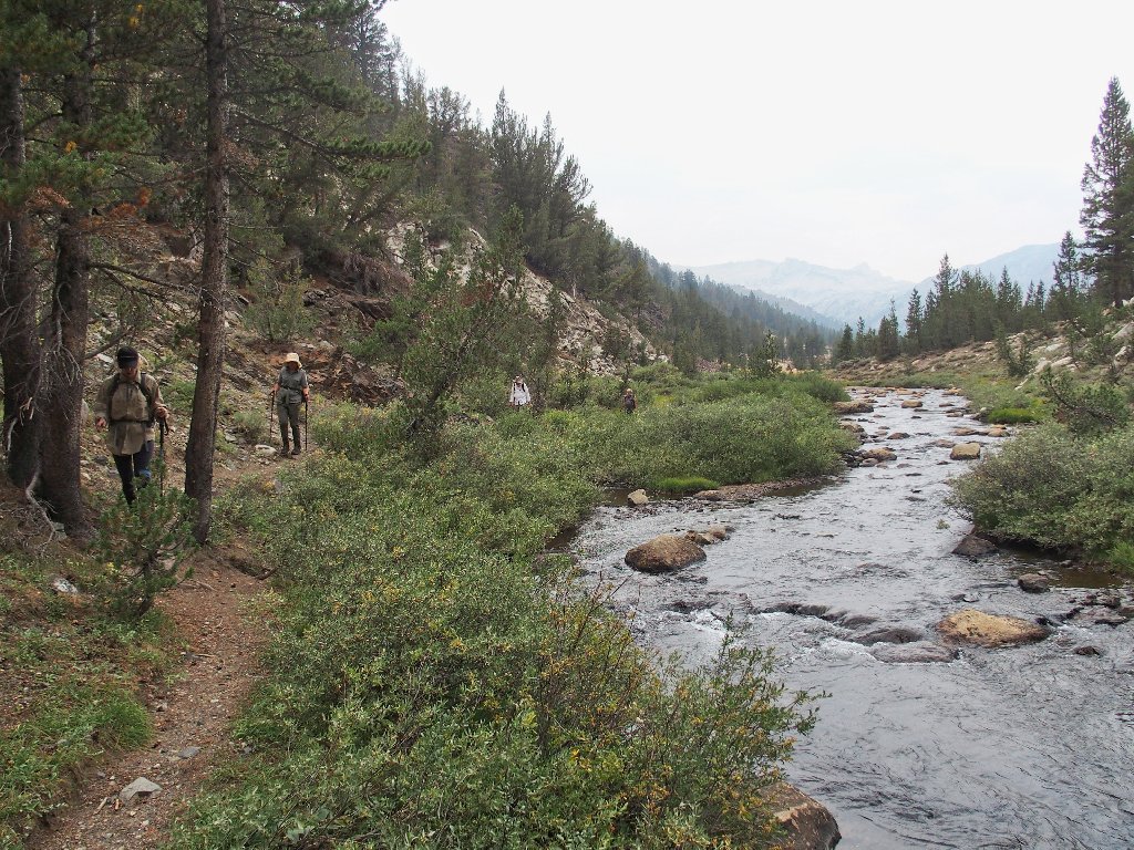
We are in good shape now, for pretty much all that remains is a stroll down through a lengthy meadow.
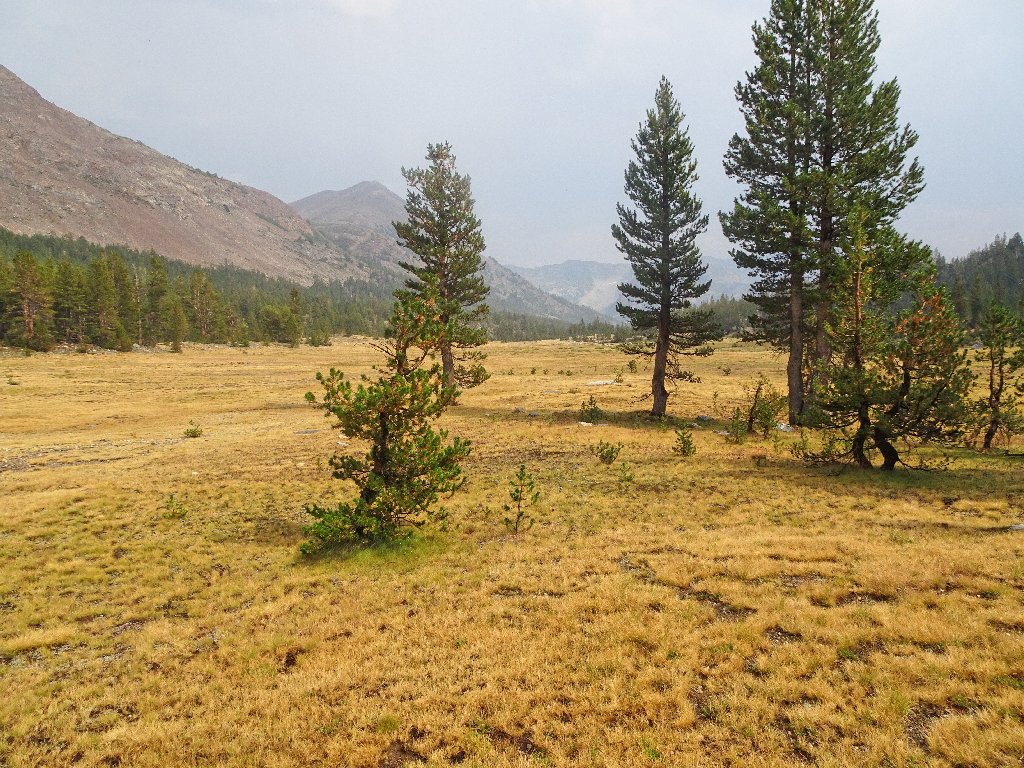
There even is some sunlight to spur us on
They never catch up
Lee Vining Creek interests Paul, who is a diehard fisher
Recalling that some minor anomaly does lie ahead, I continually breathe sighs of relief when another stretch of friendly meadow appears.
Mount Dana, 13061', is obscured by smoke and haze
The presence of a social trail is encouraging
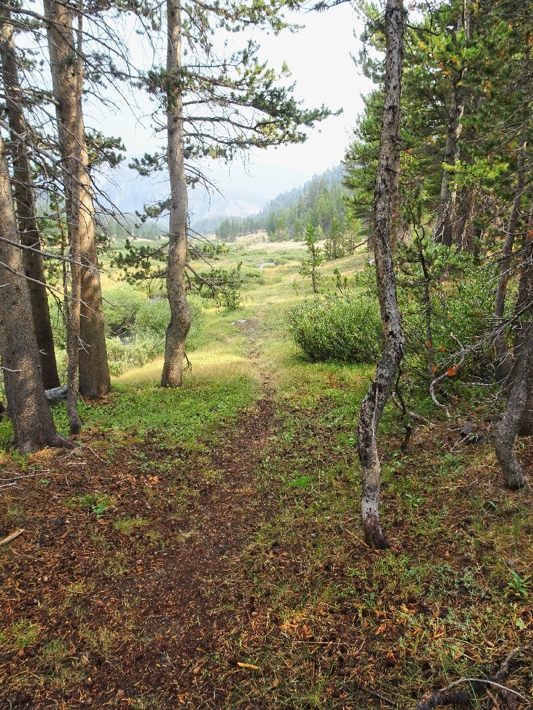
The dreaded 'anomaly' has appeared. The trail veers away from the creek and up the hill.
No more room beside the creek
Suddenly it is over, as we meet up with our original trail not far from the end.
Closing the loop
My guys are happy again
§: Well, what an adventure that was! I really don't like being
caught in a storm unprepared, especially when I feel more or less responsible for the
well-being of my companions. Whatever we were doing, however, was far
more interesting and exciting than anything currently going on at home.
In retrospect, I am amazed by some of the photographic opportunites on today's trail. The lighting seems not to have been nearly as good on my prior visit, because I had taken no pictures of the astoundingly colorful rocks in the Spuller Lake area.
To avoid the somewhat mundane two-mile meadow walk at the end, it would be easy
enough to arrange a car-shuttle between the trailhead and the Sawmill Camp
parking area. That would leave more time to explore the very nice Green Treble
area. Of course, you always could try your luck on the difficult scramble up
Mount Conness instead!
| Scenery |  |
| Difficulty |  |
| Personality |  |
| Adventure | |
| Air quality |  |