Tahoe National Forest
|
Castle Peak ~ Basin Peak Loop Tahoe National Forest |
July 17, 2020
When first hiking this route eight years, ago, I spent most of the day with three men whom I never saw again. Today I will share the trail with three women, all of whom I definitely will see again.
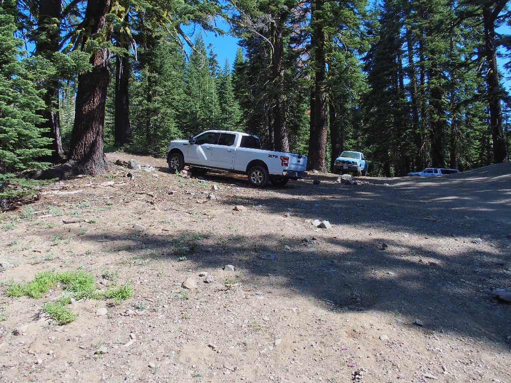
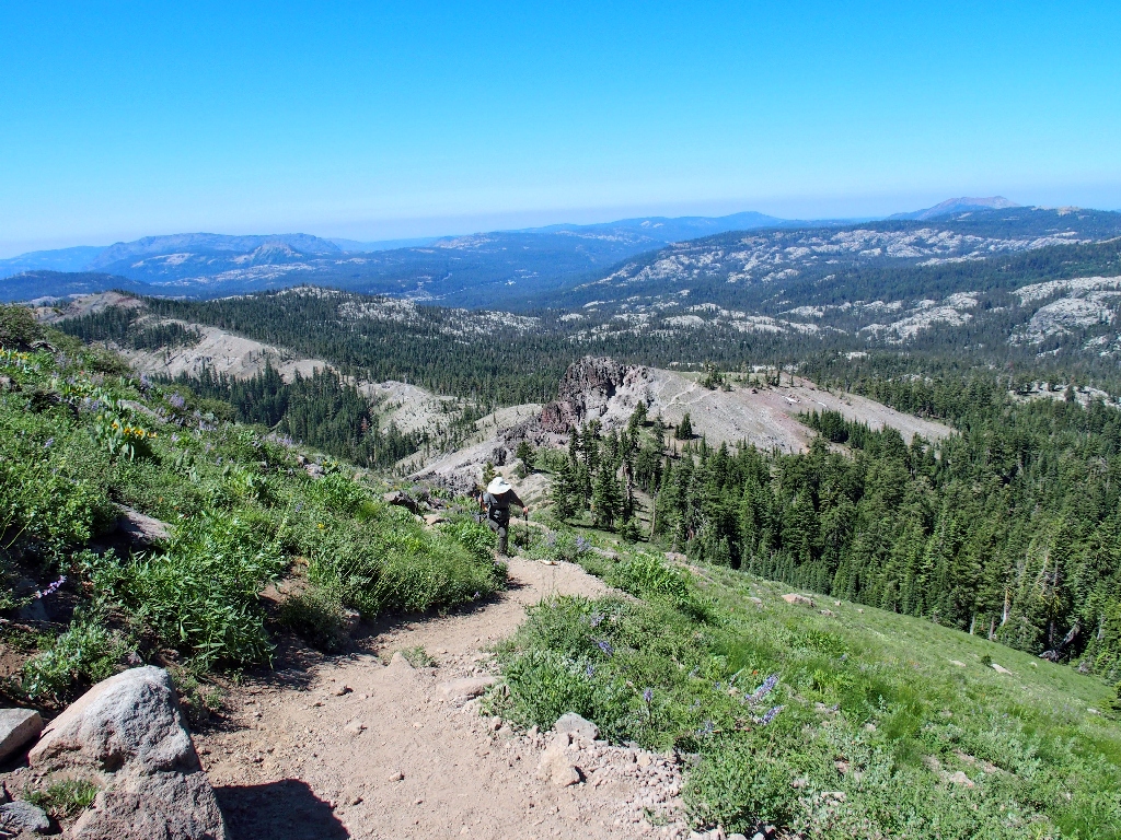
Turning off the freeway at the Castle Peak exit, we start northward on a forest
road. Within a couple hundred yards we run into a minor traffic jam, because
a couple dozen cars have parked where the pavement ends. I find this rather
strange, because many of those vehicles are perfectly capable of off-road
travel.
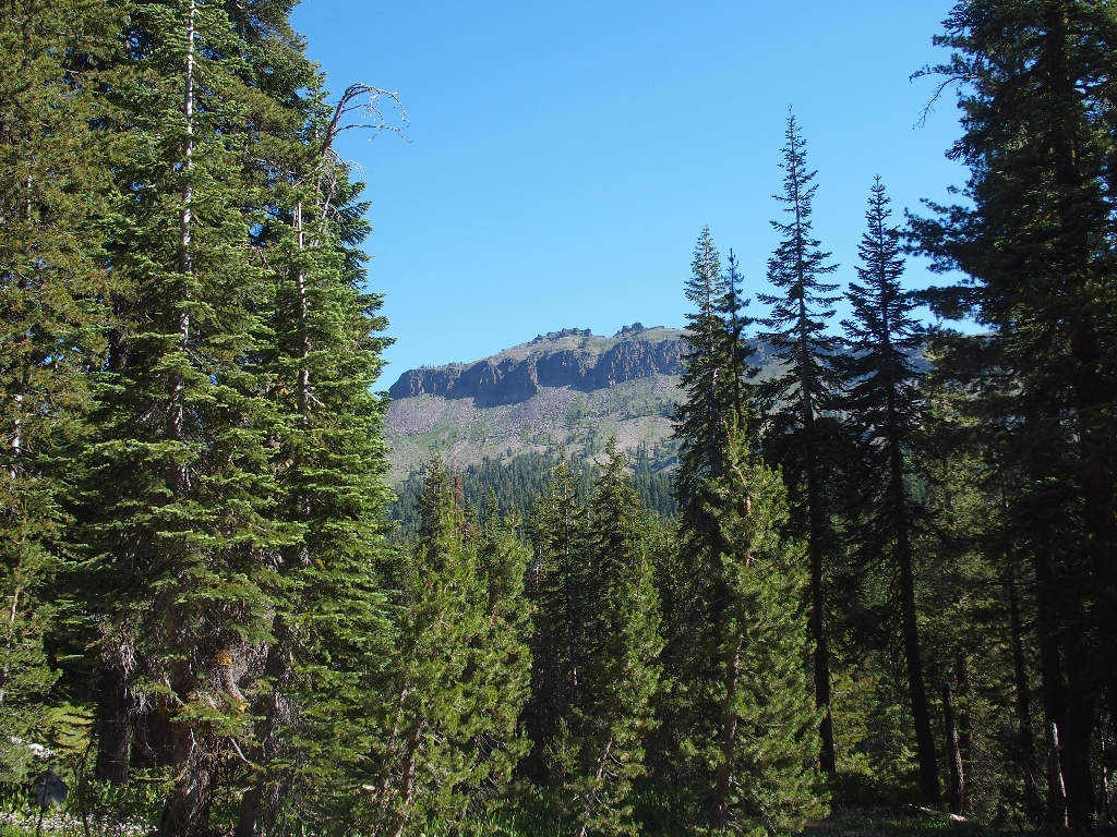
Naturally, not wanting to incur too much redundant hiking, we bounce our way up the
two-track for about a mile to a convenient turnout. We could easily
continue farther; but my companions say that we came to walk, so we stop short of the
end of the road.
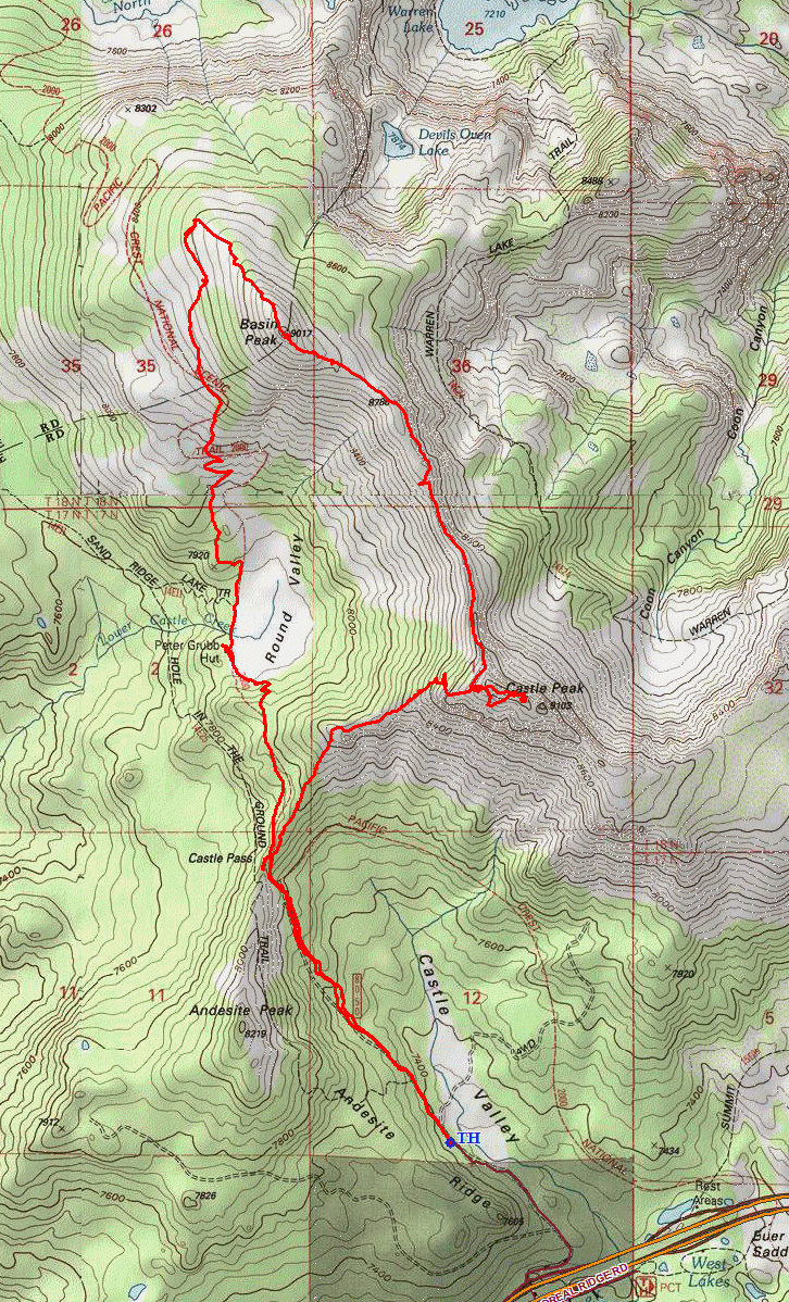
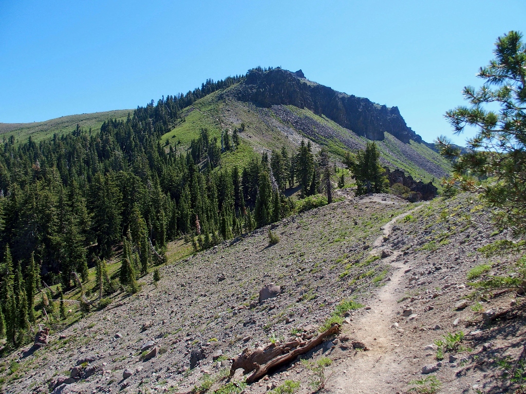
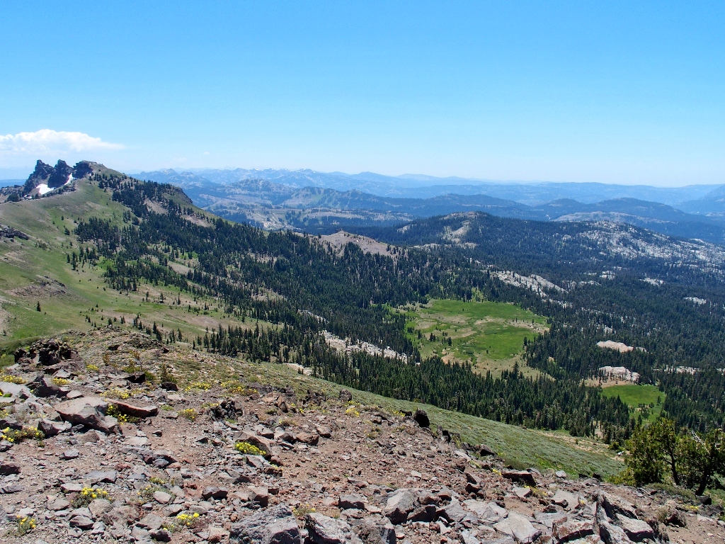
The initial objective looms above
That's one way to get there...
but we get to hoof it instead
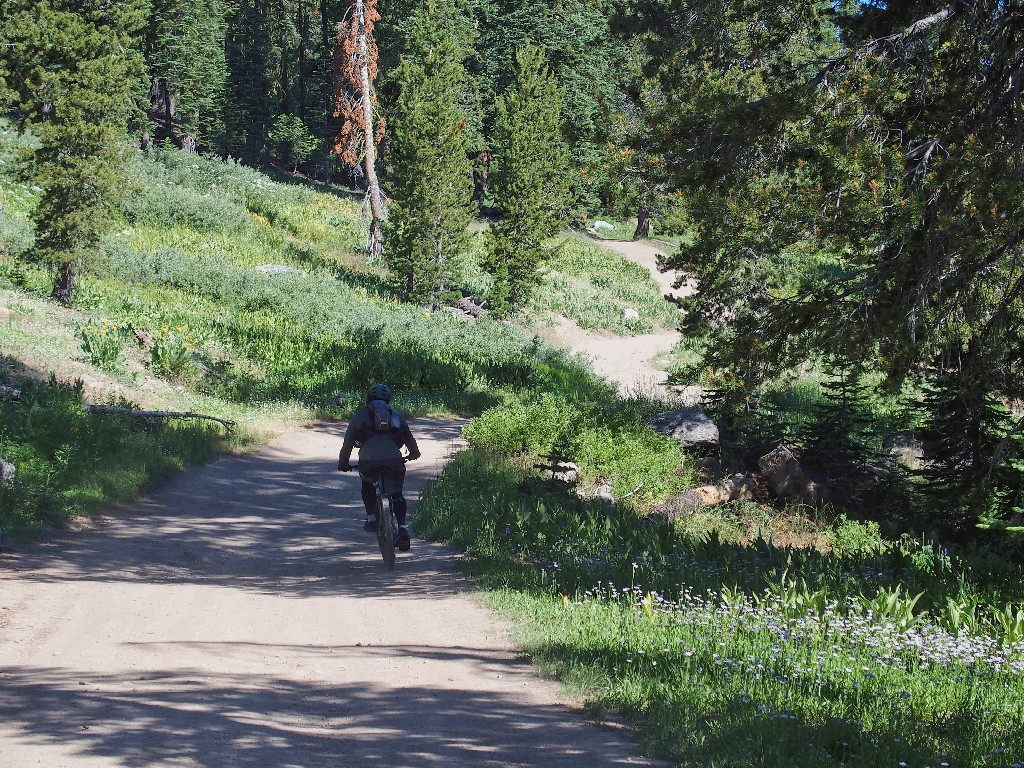
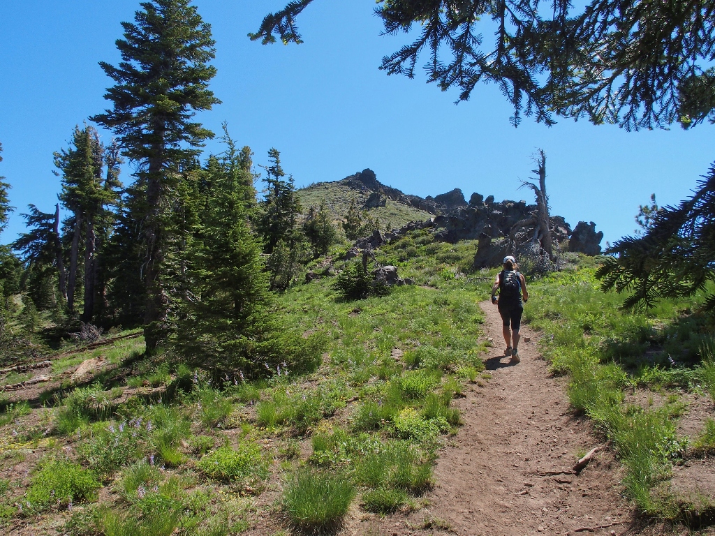
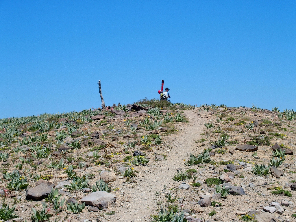
After nearly a mile that could have been driven, the road abruptly ends at a steep hill.
The actual trailhead
It is a short but steep climb up to Castle Pass. Having merged with the Pacific Crest Trail along the way, we leave it again just a few minutes later.
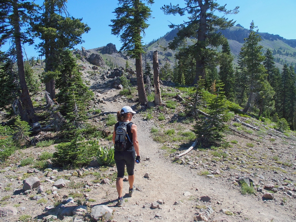
Starting up the hill
Plenty of other hikers are headed our way today; this is good.
The route looks pretty steep
"Steep" proves to be an understatement, because this is just about the most treacherous route in my experience. Keeping one's footing in the loose gravel is difficult enough while ascending; coming down this way would be downright dangerous, as a few hikers are finding out already. It is clear that this trail was not designed by the Forest Service.
I would much rather be up there right now
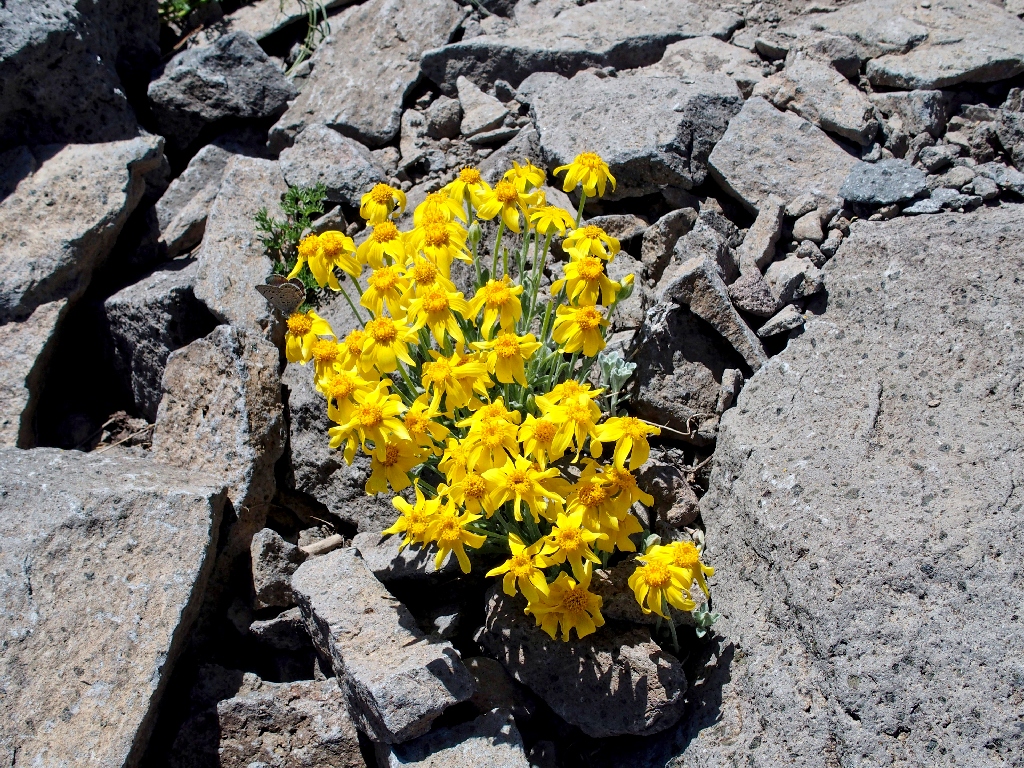
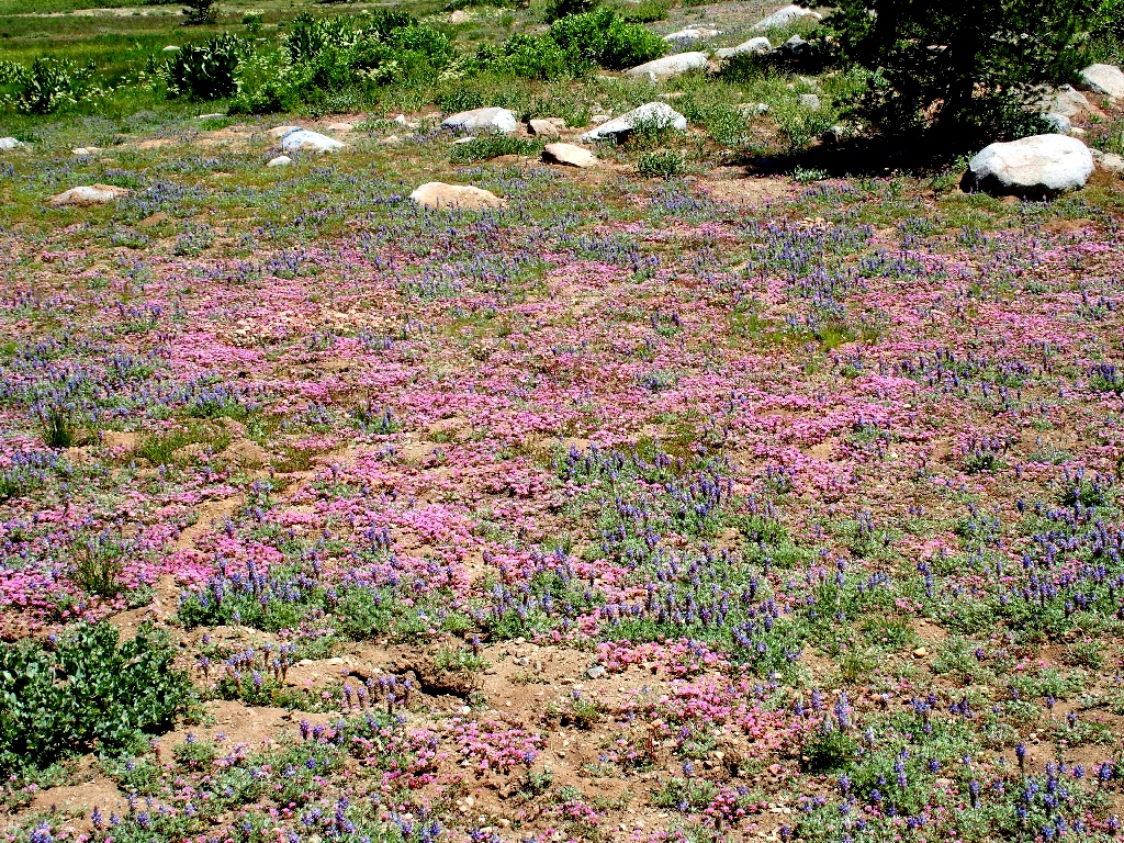
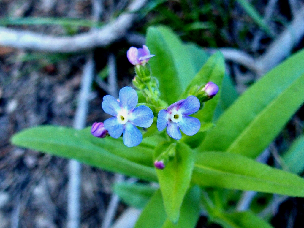
Not ones for complaint, however, Eileen, Sue, and Lori are ecstatic about the profusion of flowers. Although most of them are Mule's Ears, it is really nice to have them around. A few weeks from now, they all will be dried up and unattractive.
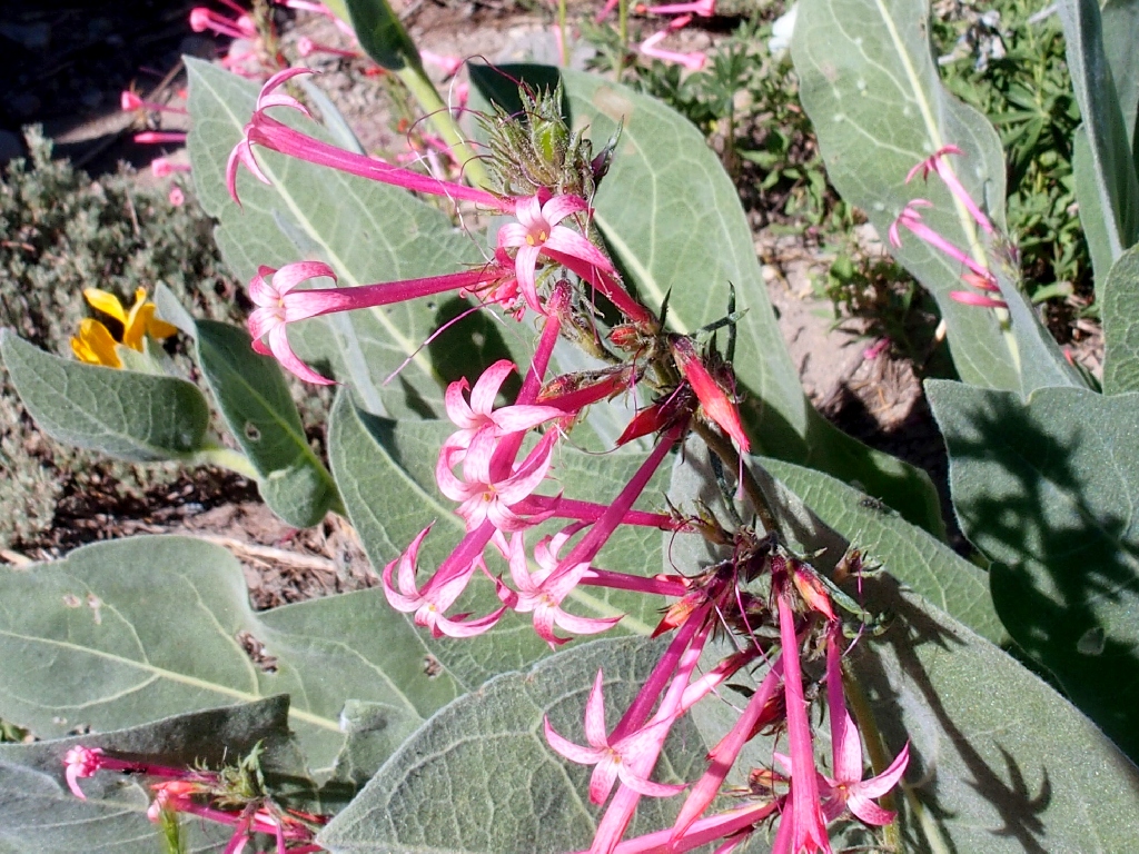
Slendertube Skyrocket
Mountain Monardella (Pennyroyal)
Plugging away
Royal Penstemon
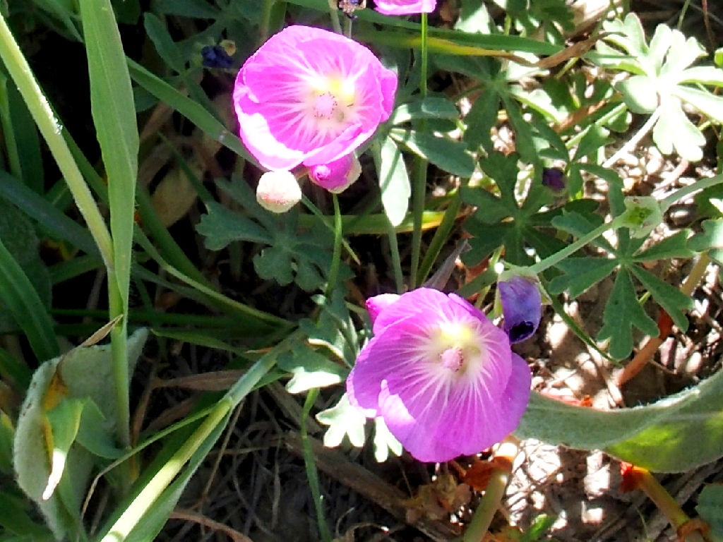
Glaucous Checkerbloom
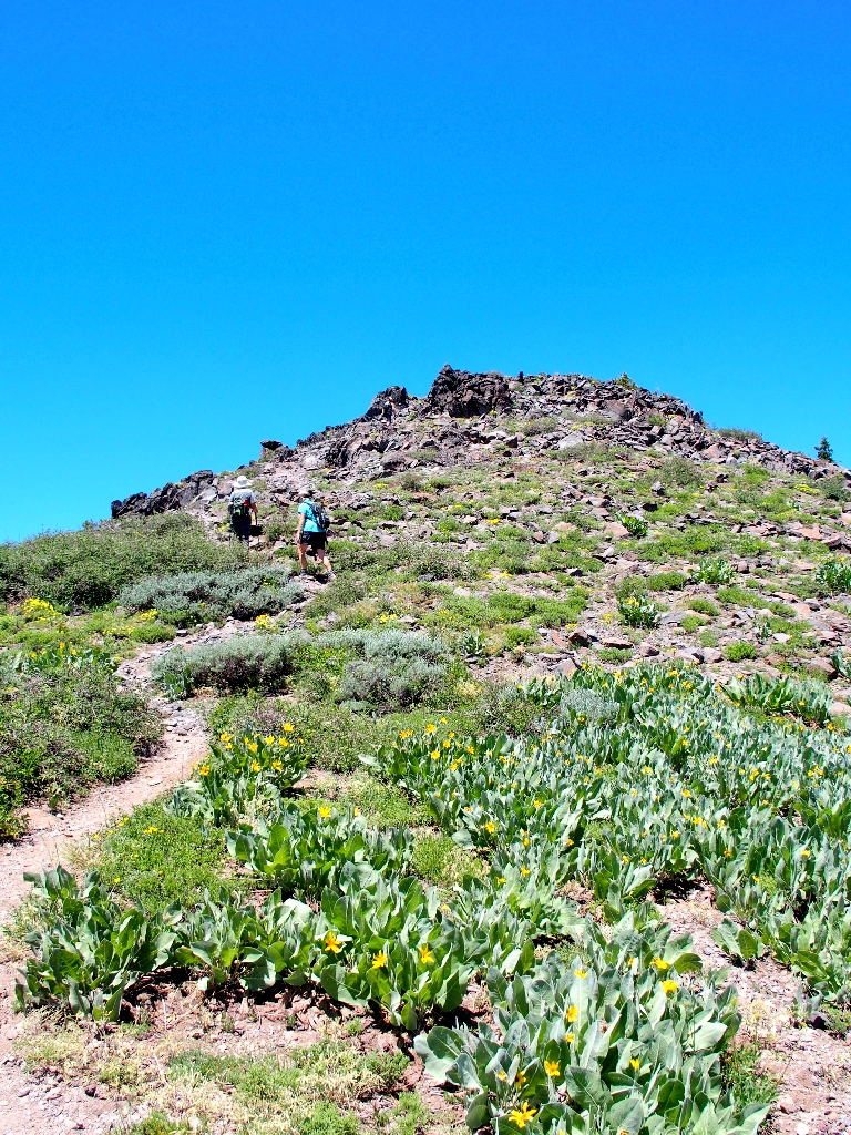
Frequent rest stops are in order on this 1,400-foot ascent
One woman we pass is verbally estimating how many times she expects to fall on the way down.
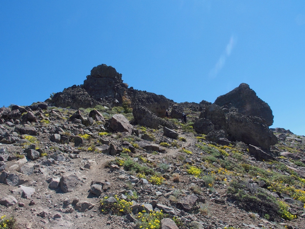
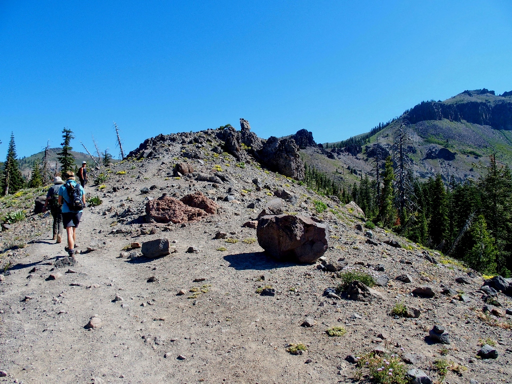
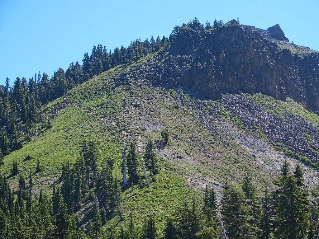
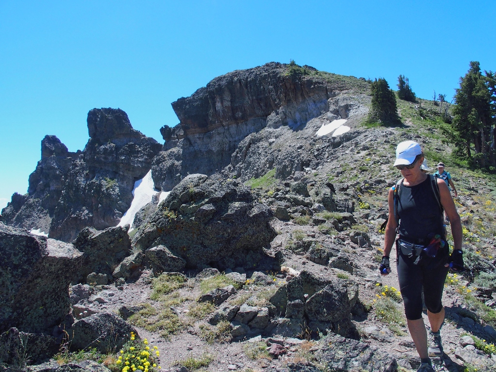
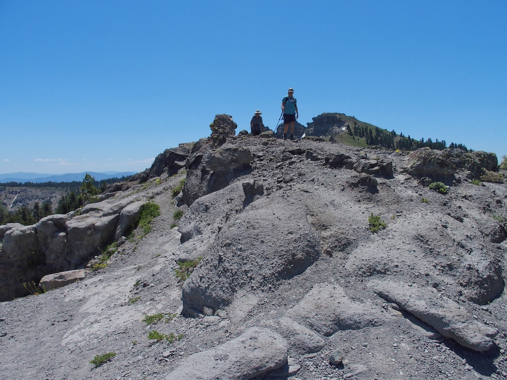
Approaching the summit block
I had not planned actually to scale any of the four lava outcroppings on the summit; but Lori, who is a generation younger than the rest of us, is interested.
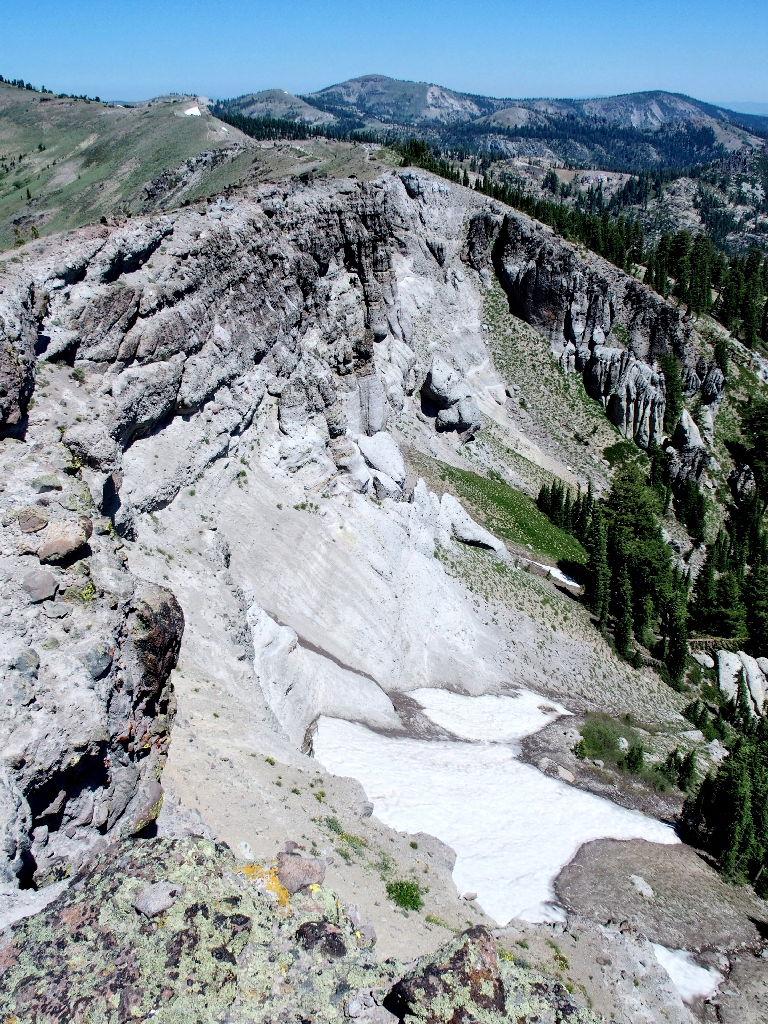
A snow-filled fissure
It seems that the highest point is the southernmost one, at the end of the trail.

The Castle Peak high-point is occupied. How did they get up there?
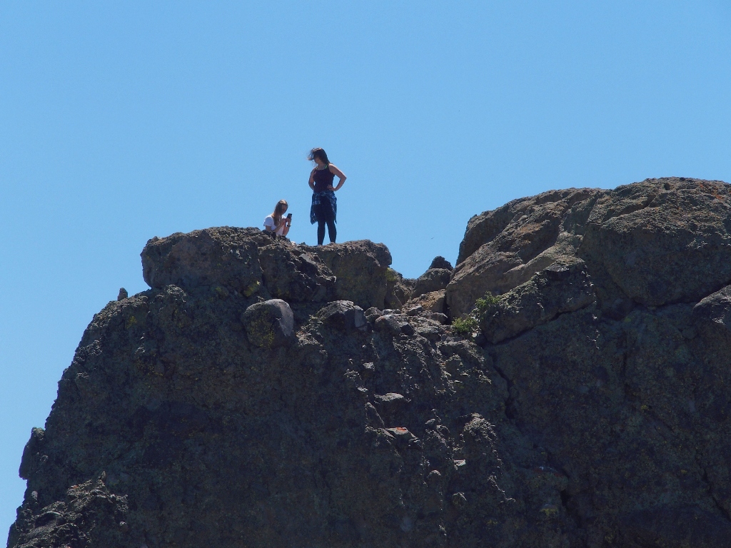
Kudos to those guys
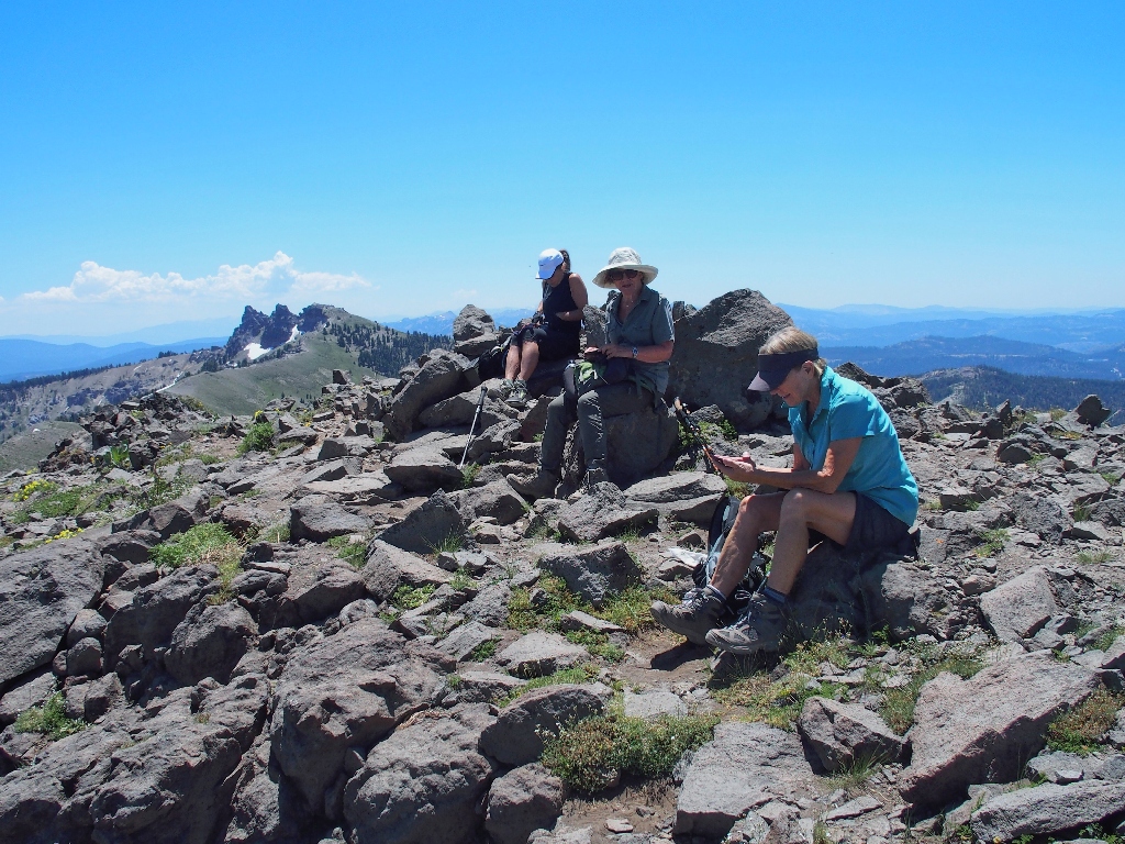
None of us are particularly inclined to duplicate the efforts of the two youngsters or to interrupt their 'moment', so we content ourselves with a few photographs.
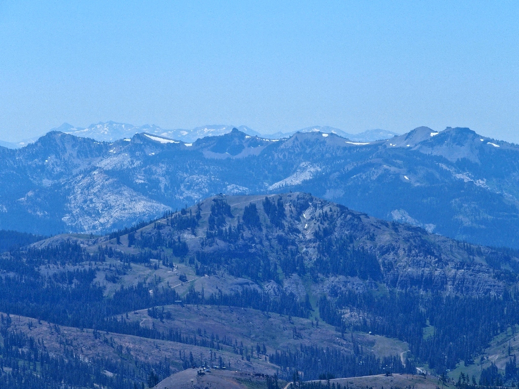
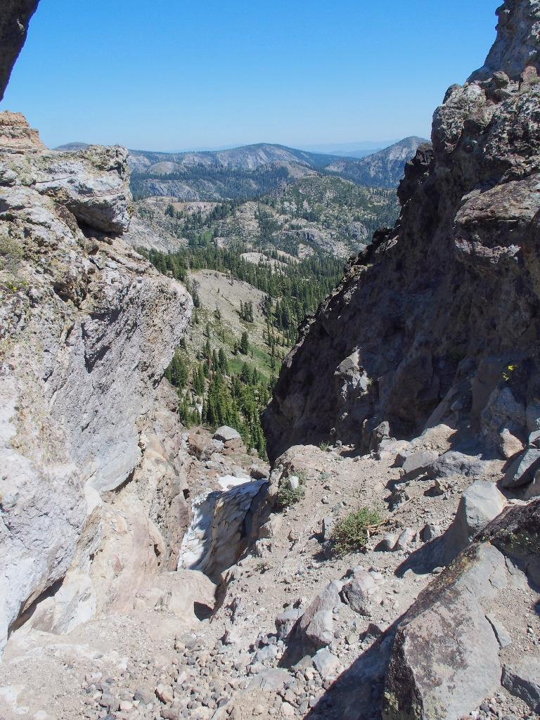
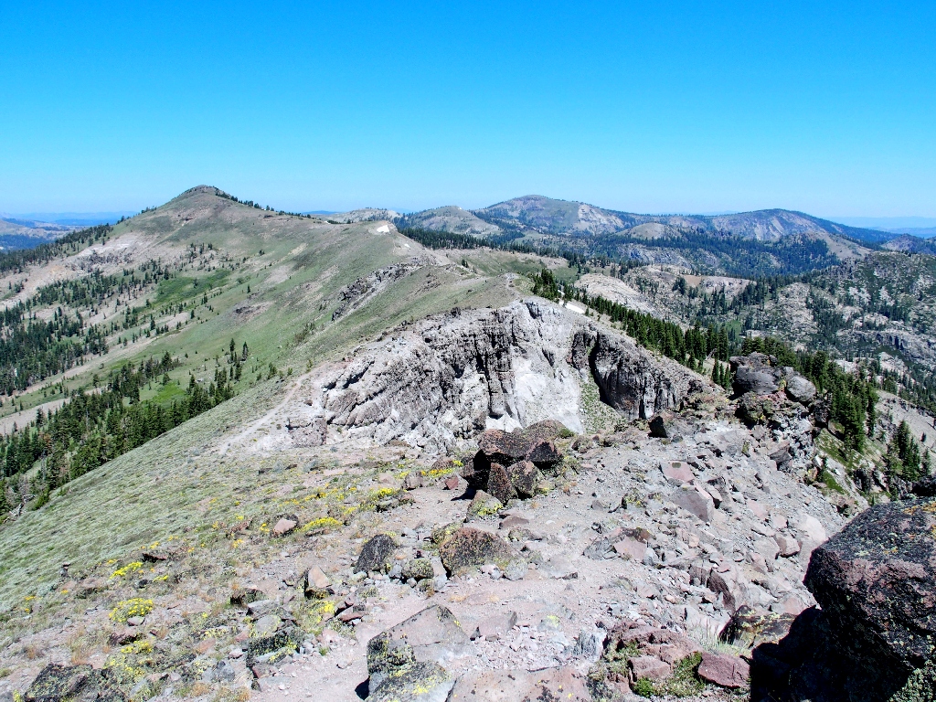
To the south is Granite Chief Wilderness, with Desolation Wilderness behind it
I can see Pyramid Peak poking up back there, some 35 miles away.
Retracing steps to the other end of the mountain
Leaving Castle Peak
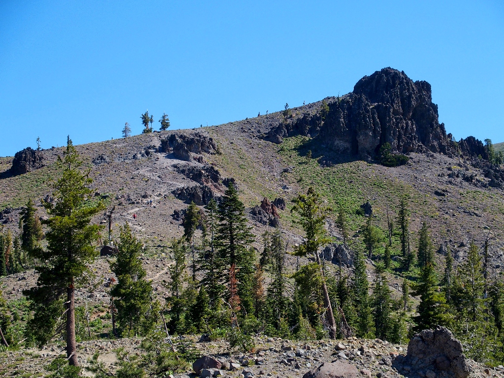
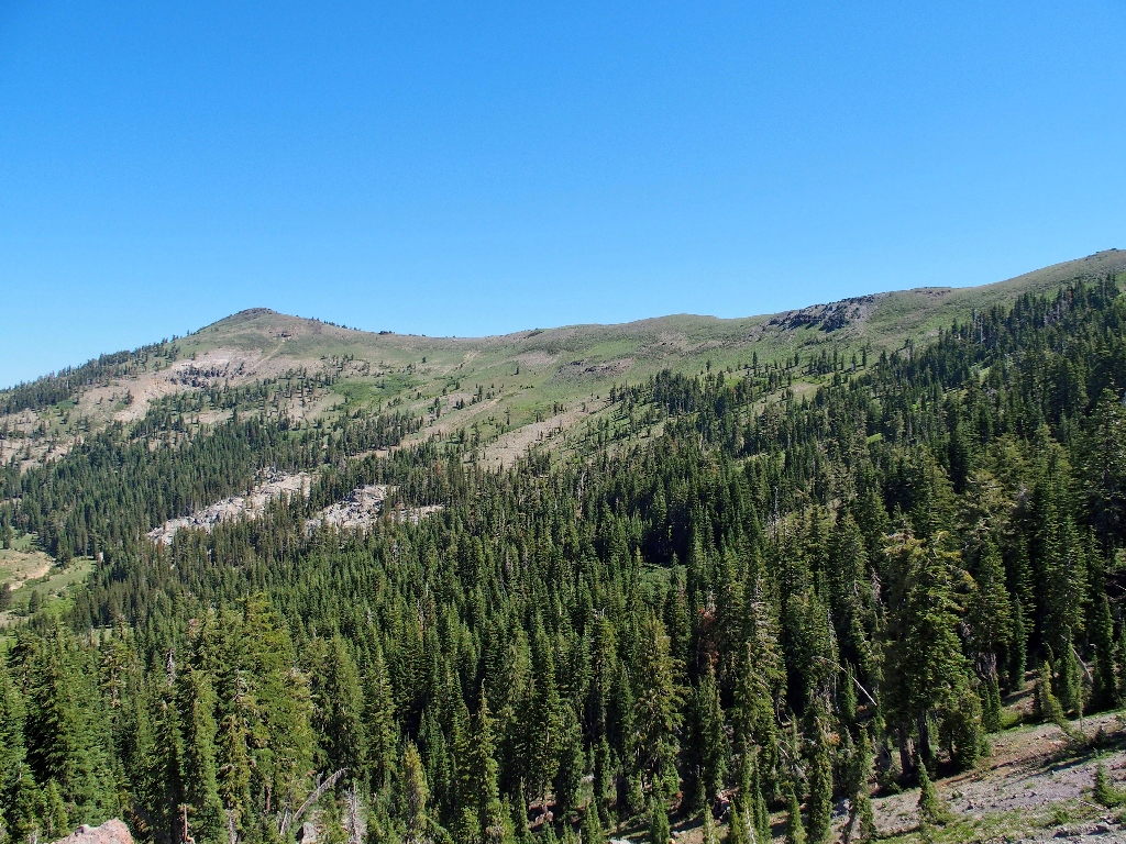
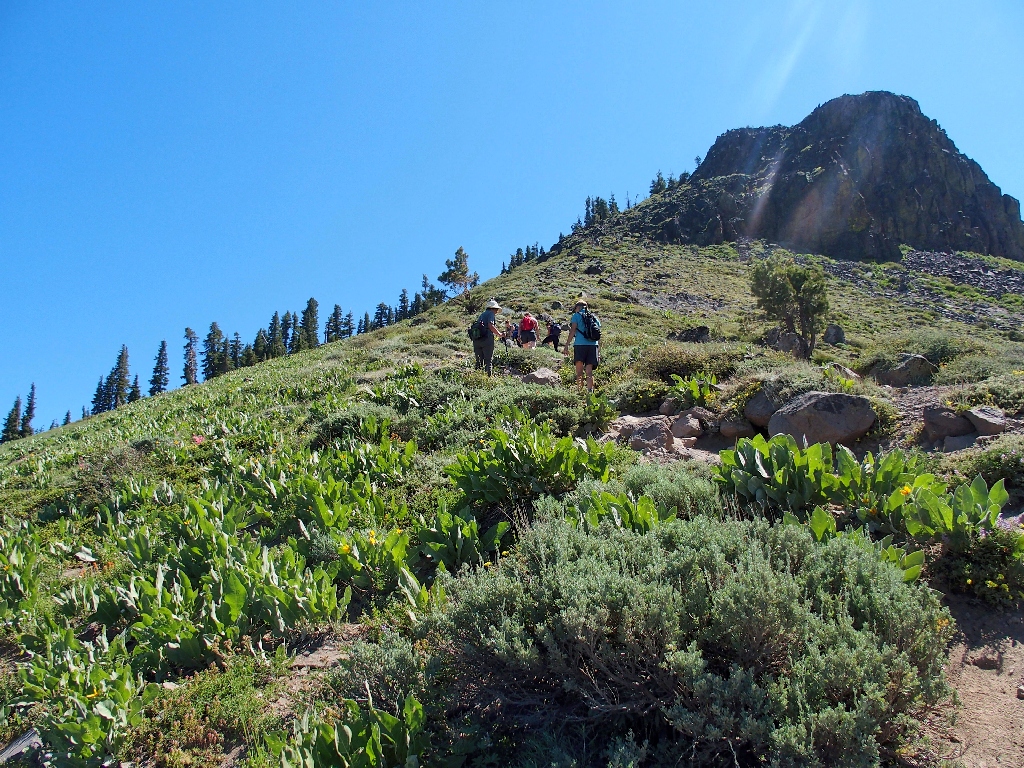
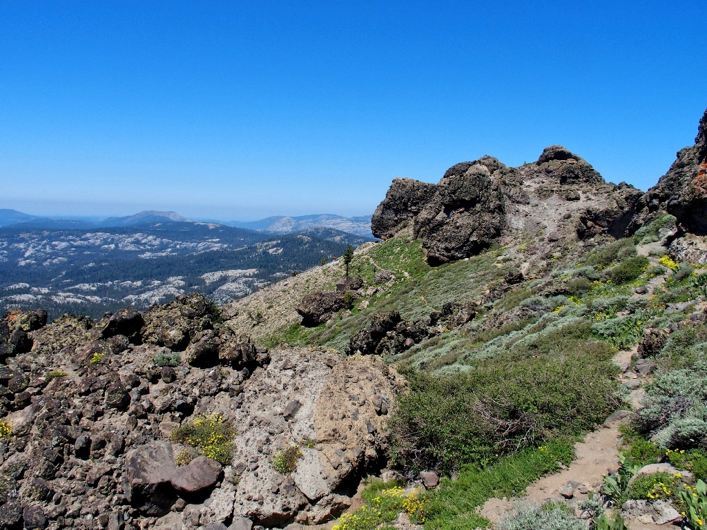
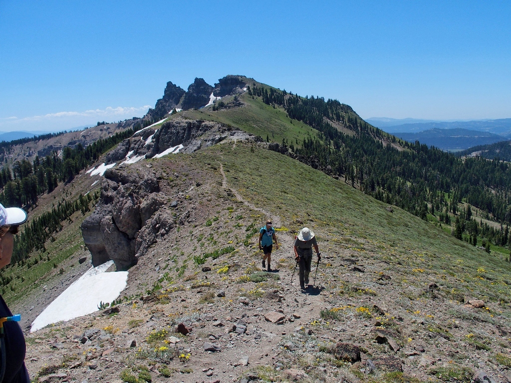
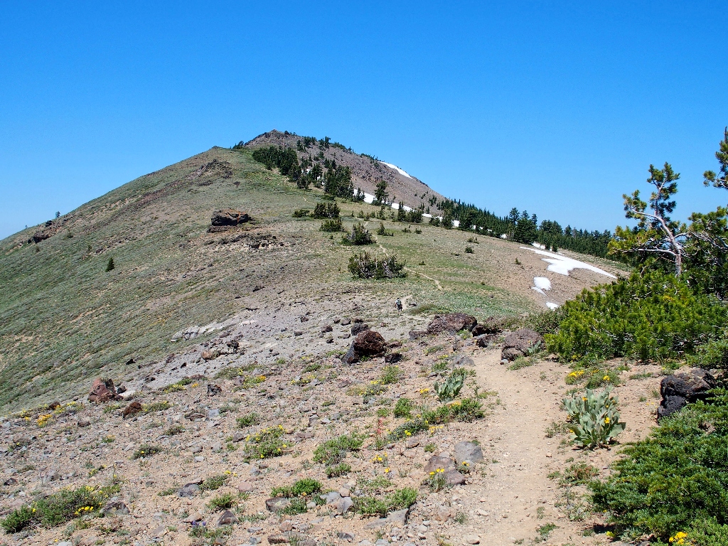
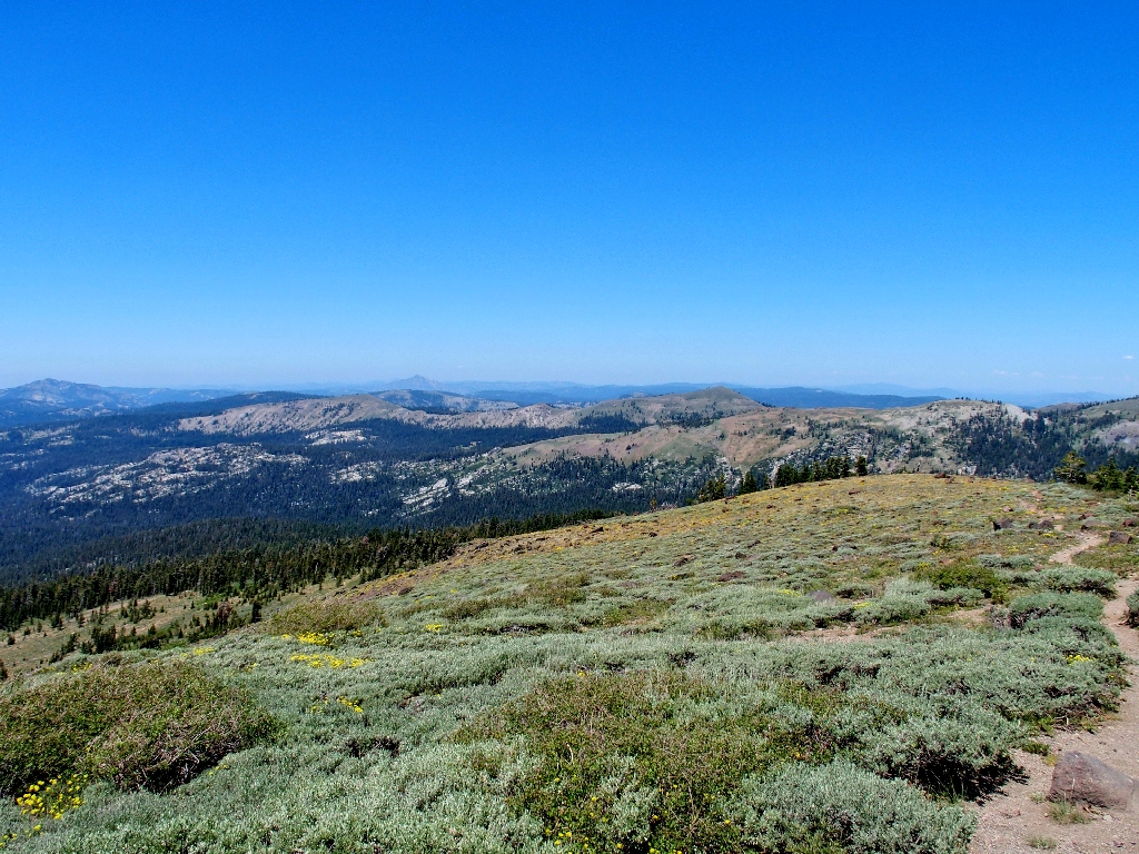
The next phase of the mission is to traverse the ridge-top over to Basin Peak. That looks like fun.
The task ahead
This ridge just happens to delineate the Great Divide; waters on the western slope find their way to the Pacific Ocean, whereas those on the eastern side end up in the Nevada desert.
The edge of the Great Basin
Mount Rose (top center) is 22 miles distant
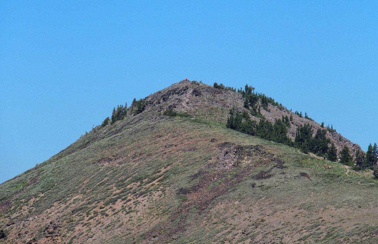
Someone at the summit is wearing a bright orange shirt
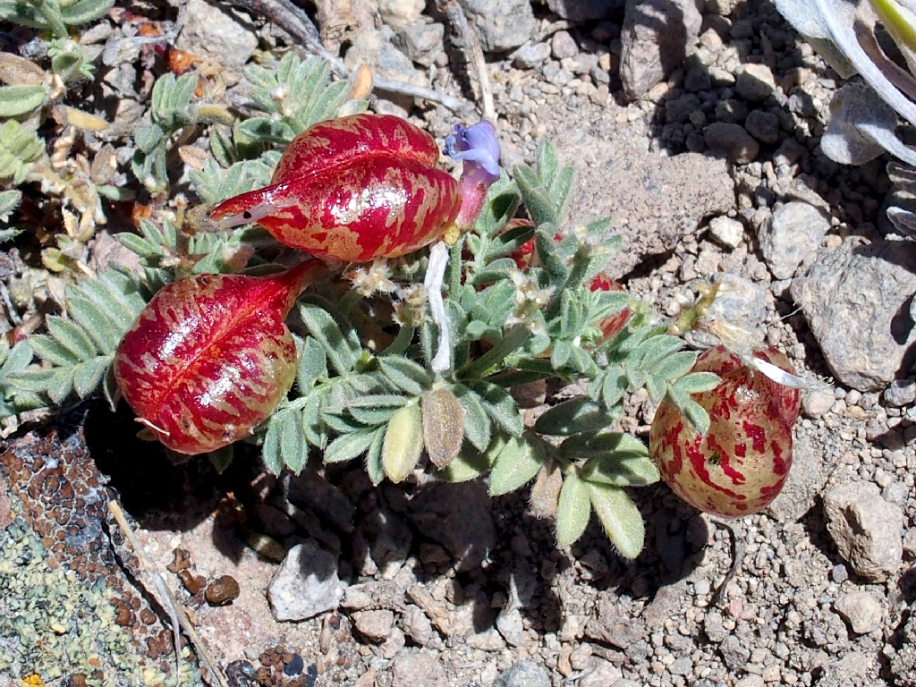
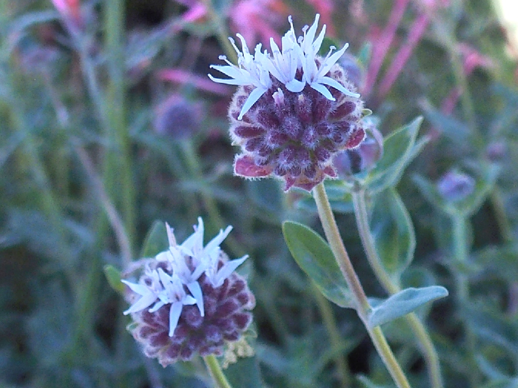
Freckled Milkvetch -aka- Spotted Locoweed
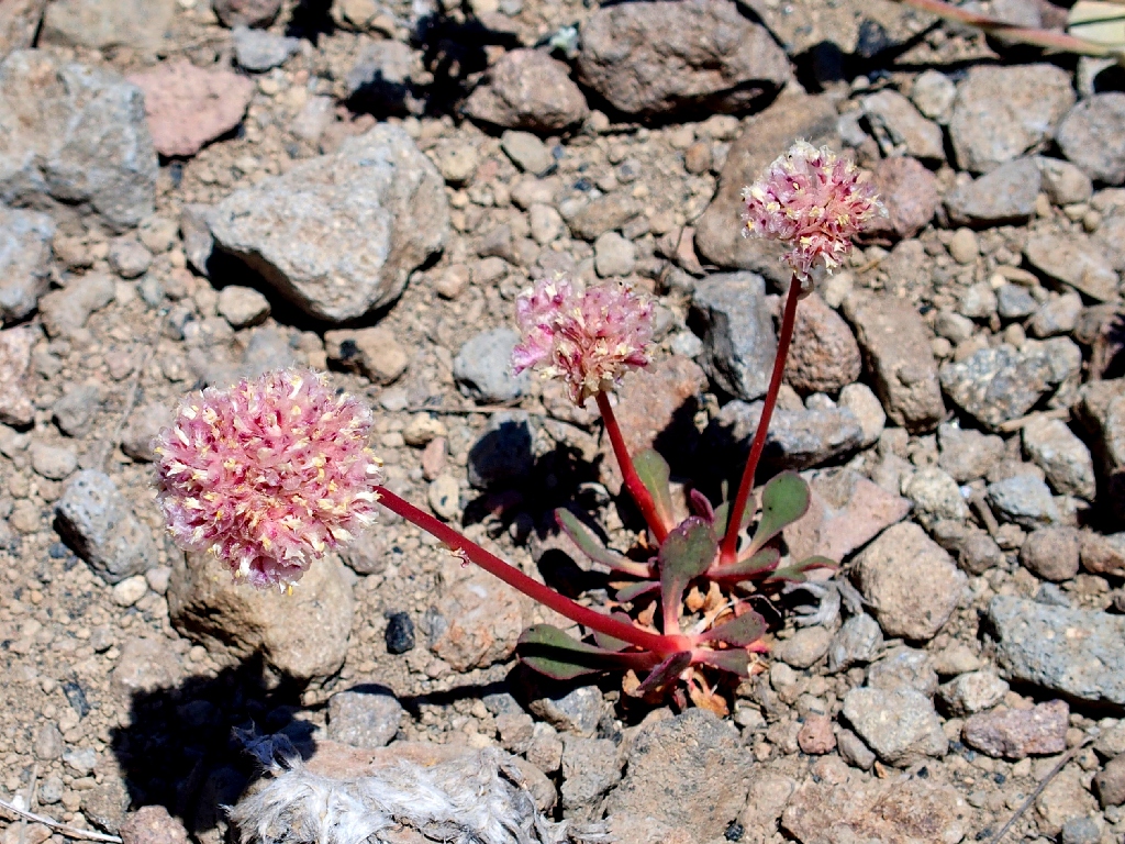
Pussy Paws
Slogging along
Snow is hard to find around here
This traverse involves a drop of about 450 feet, then another climb of 350 feet.
Still a ways to go
The man in the orange shirt has disappeared
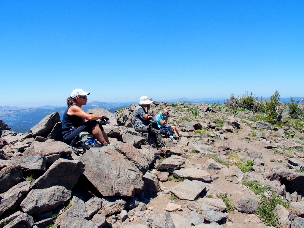
Finally, Basin Peak is ours! There being no available shade, we flop down right
on the summit block. Our names are entered in the well-used peak register.
Lunch at 9017 feet
Adorning the summit are two wildflowers in particular:
Woolly Sunflower
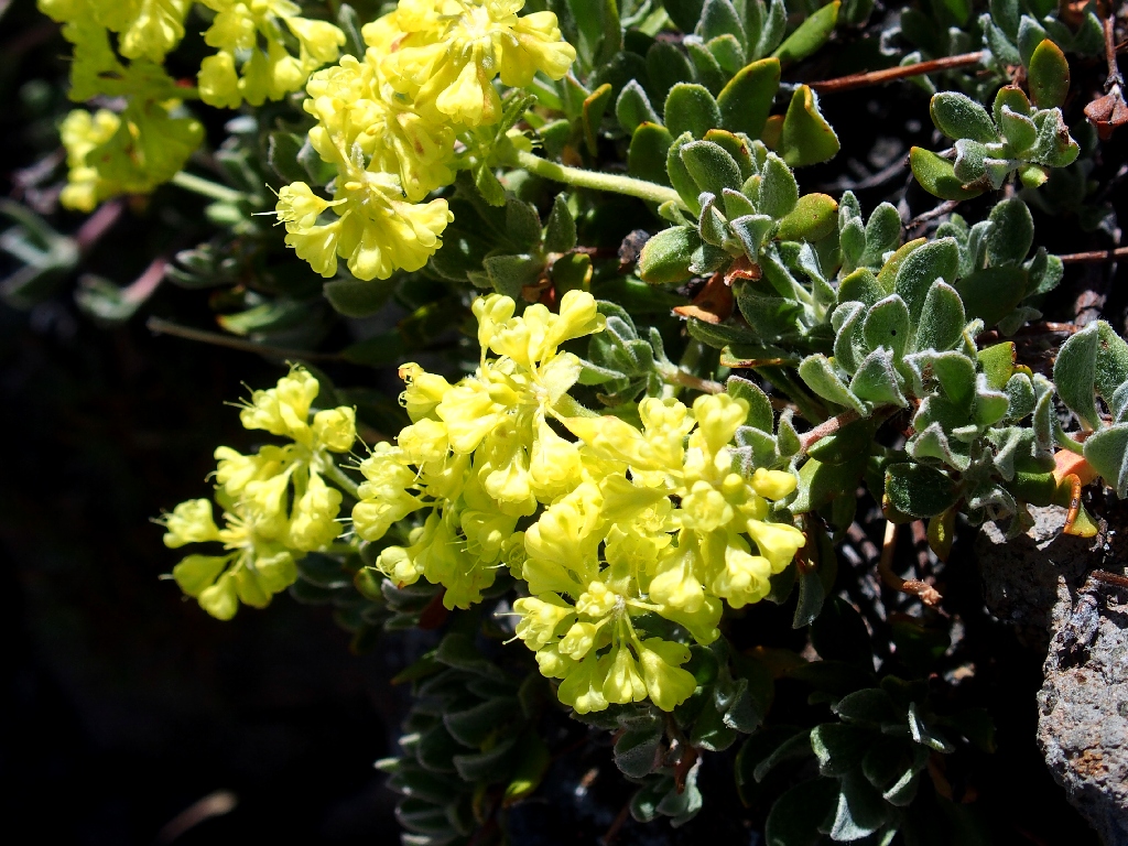
Sulfur-flower Buckwheat
Not the most comfortable eating spot
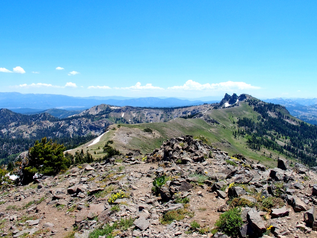
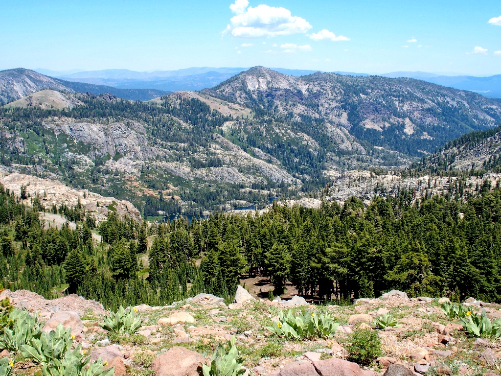
Looking back imparts feelings of accomplishment
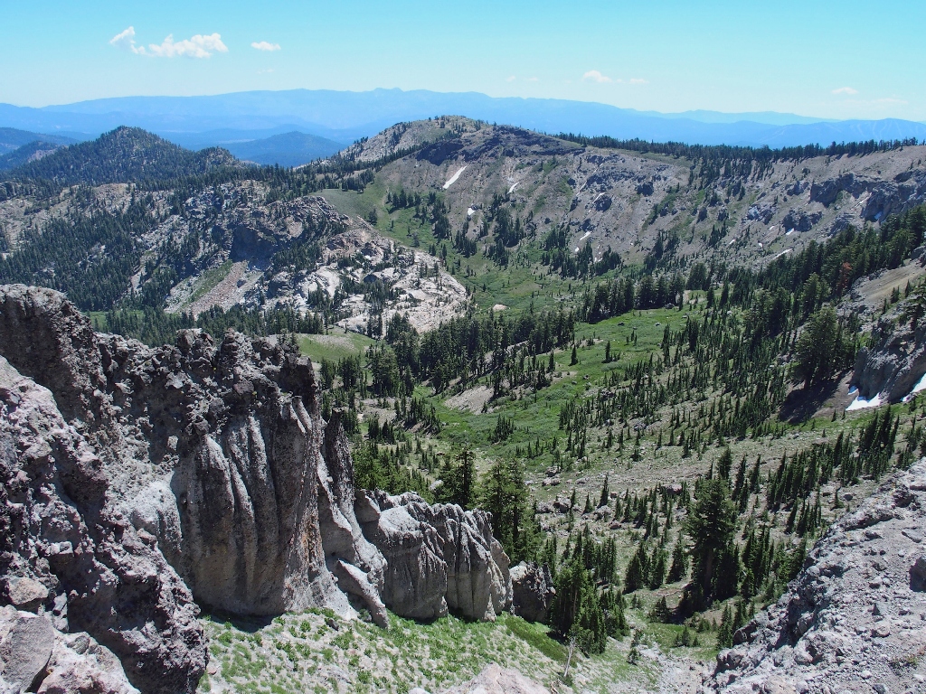
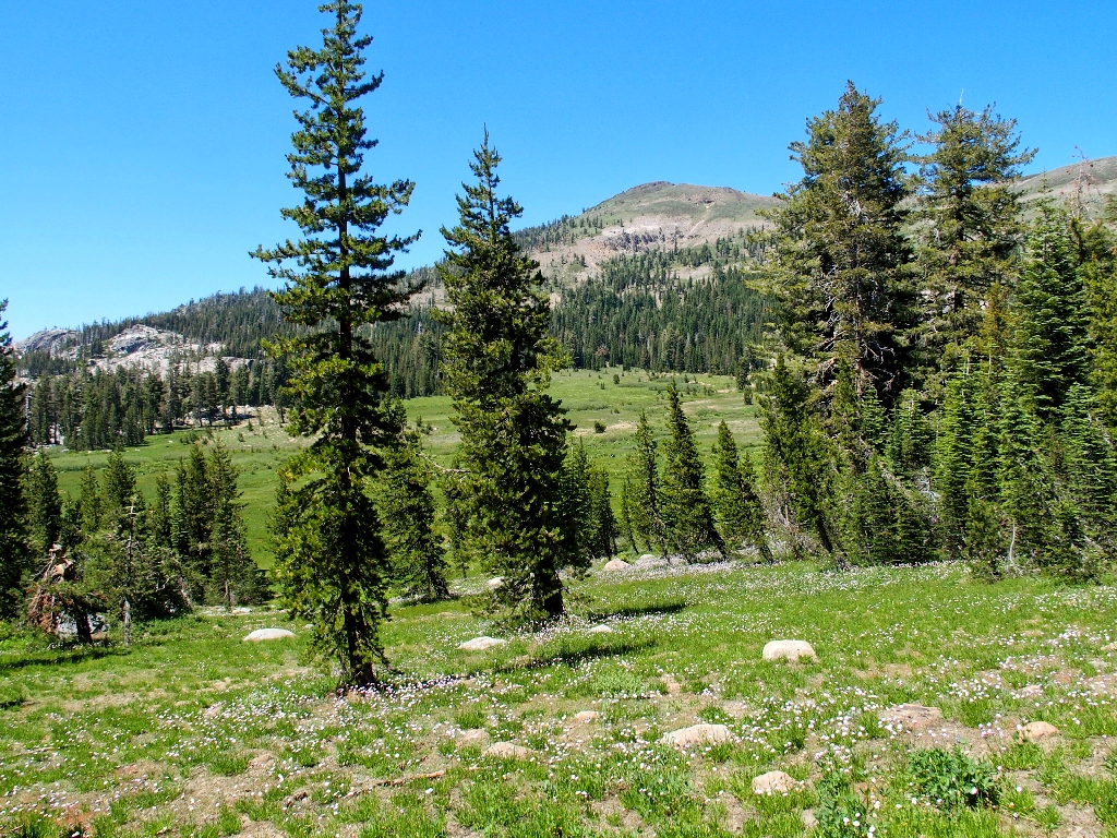
We're headed for Round Meadow below
From here the trail continues northward for a while, then finally begins to circle back in the desired direction.
The Sierra Buttes are 20 miles north
The elusive Warren Lake appears to the east
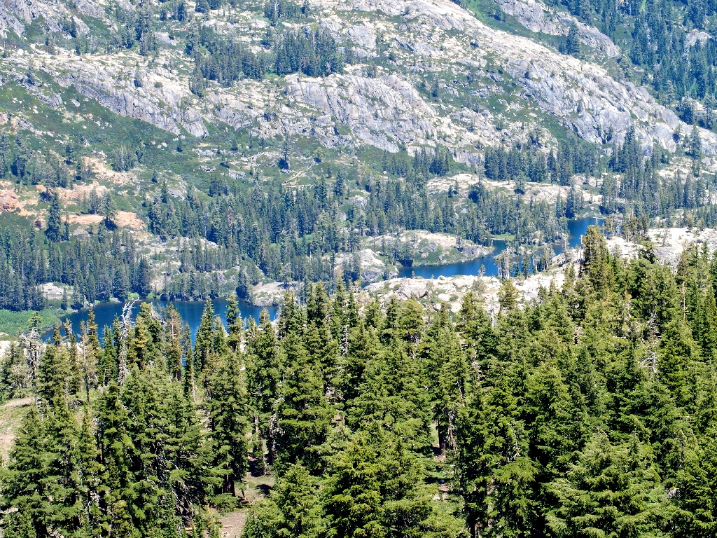
A closer view
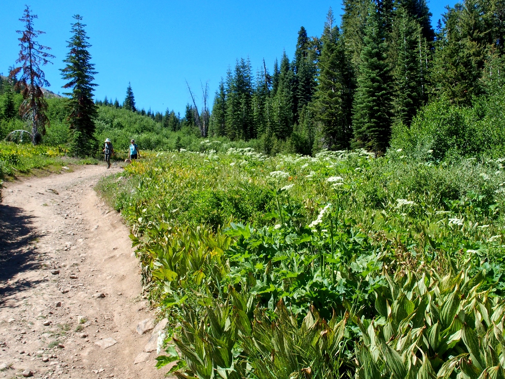
I know that some unexciting mileage could be saved here by simply plunging down the hillside to the left, and it appears that doing so would not be difficult; but today I am content to remain on the established route. Presently, some new flower varieties appear as we approach a greener area.
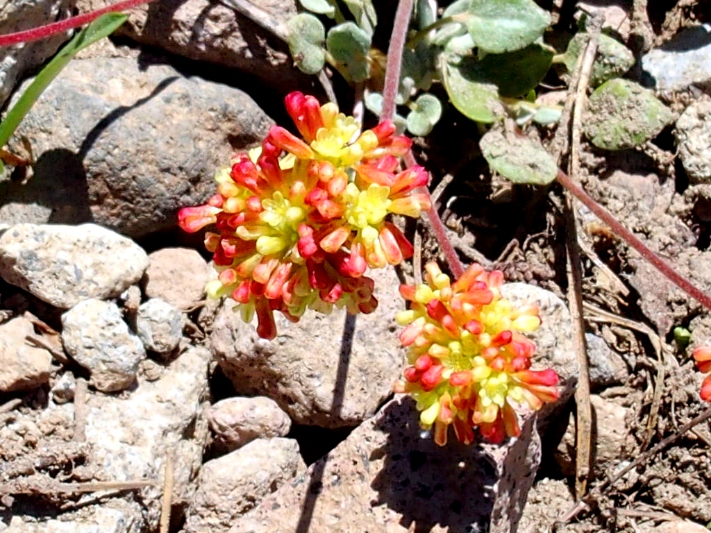
Donner Pass Buckwheat
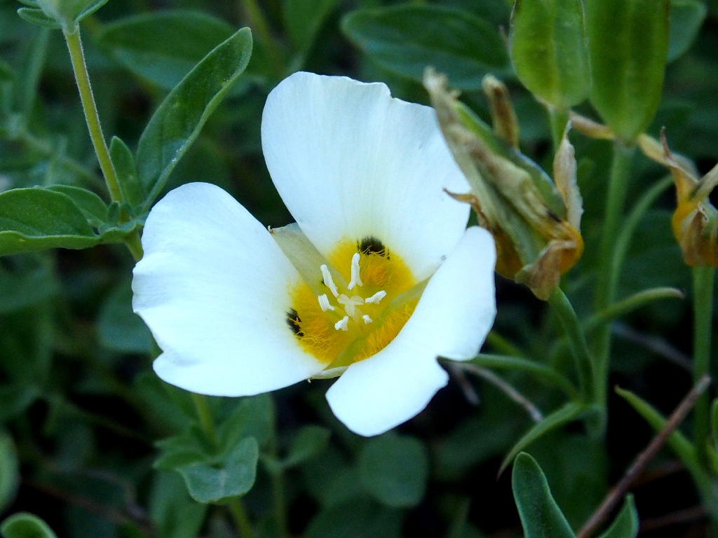
Leichtlin's Mariposa Lily
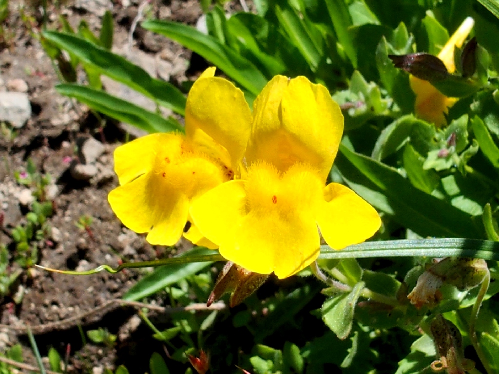
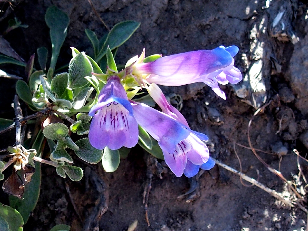
Seep Monkeyflower
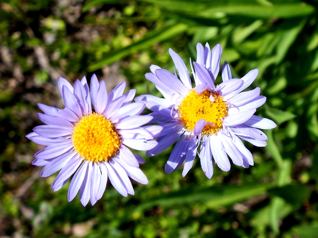
Alpine Aster
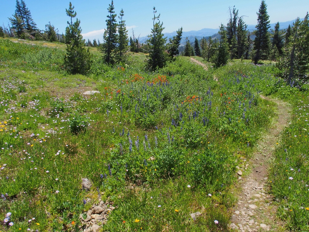
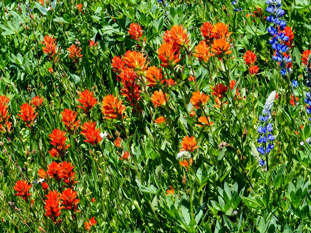
Paintbrush garden
Our erstwhile route looms a thousand feet above us.
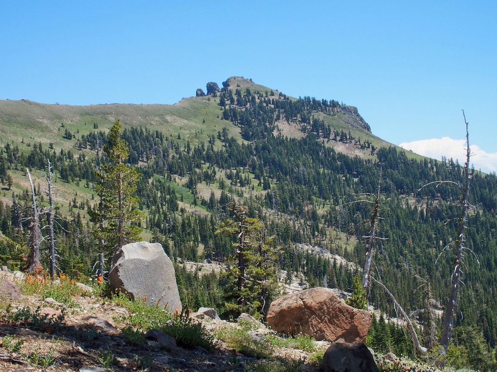
That's where we were
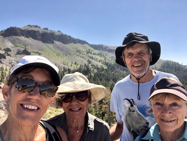
Lori manages a nice selfie on her smartphone
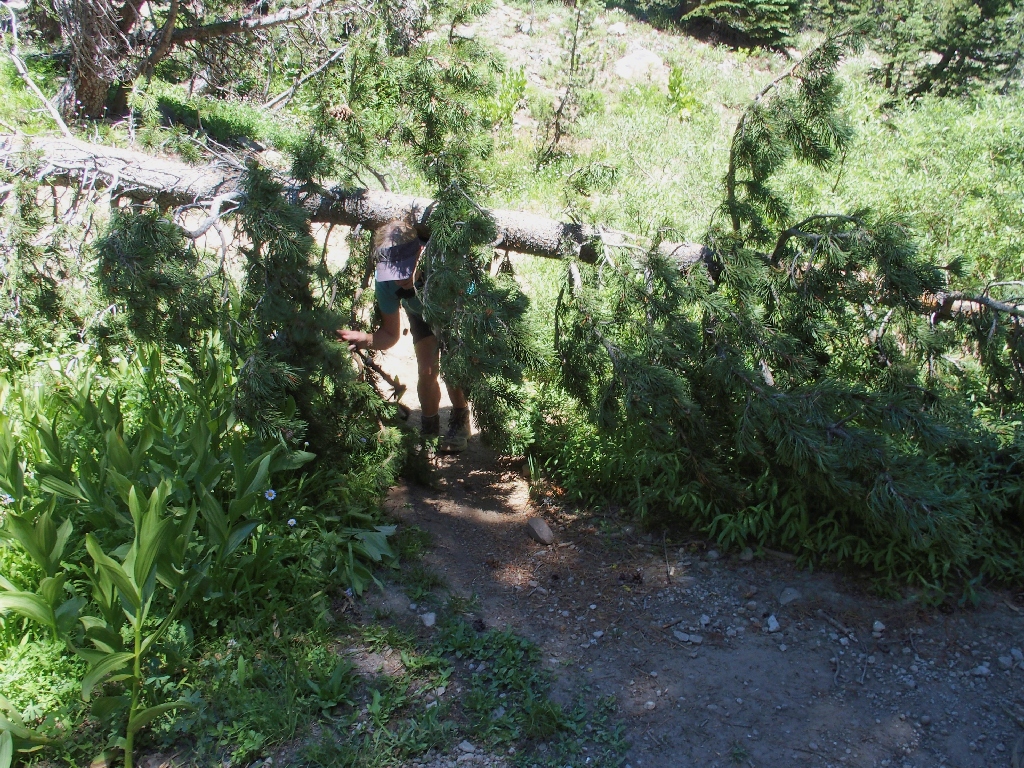
Squeezing under
Two serious PCT hikers approach, and one of the men volunteers to take a group photo. The conversation turns to a couple of hikes in Europe, of which everyone else seems knowledgeable. I guess I need to get out more.
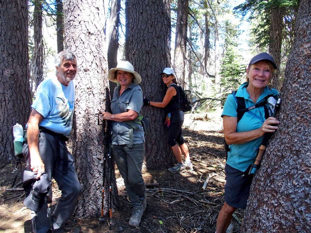
Tree-huggers caught in the act
Awash in Pussy Paws
Sierra Stickseed
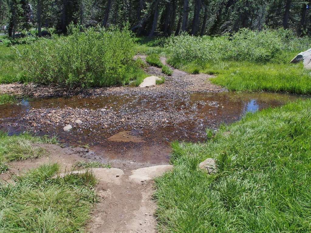
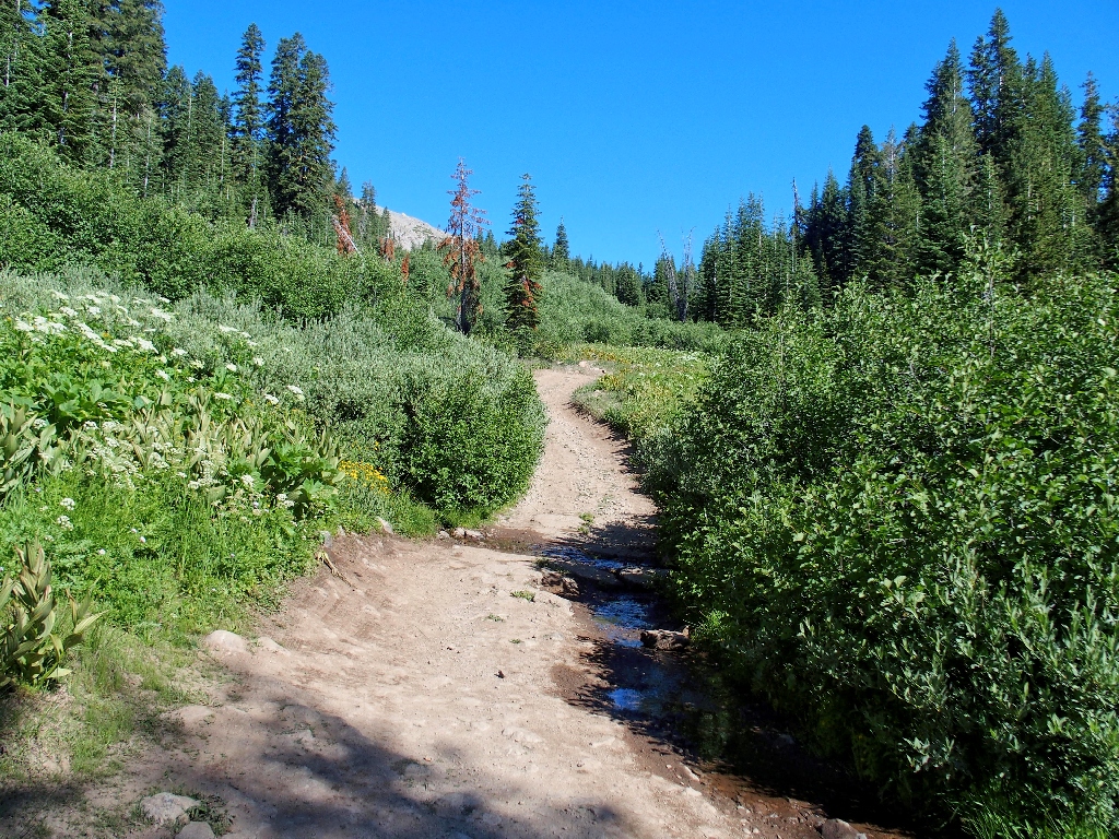
The only water on today's trail
I really should stop and filter a bottle's worth, because I am bone-dry and a couple of miles of walking remain; but laziness wins out again as I forgo the opportunity.
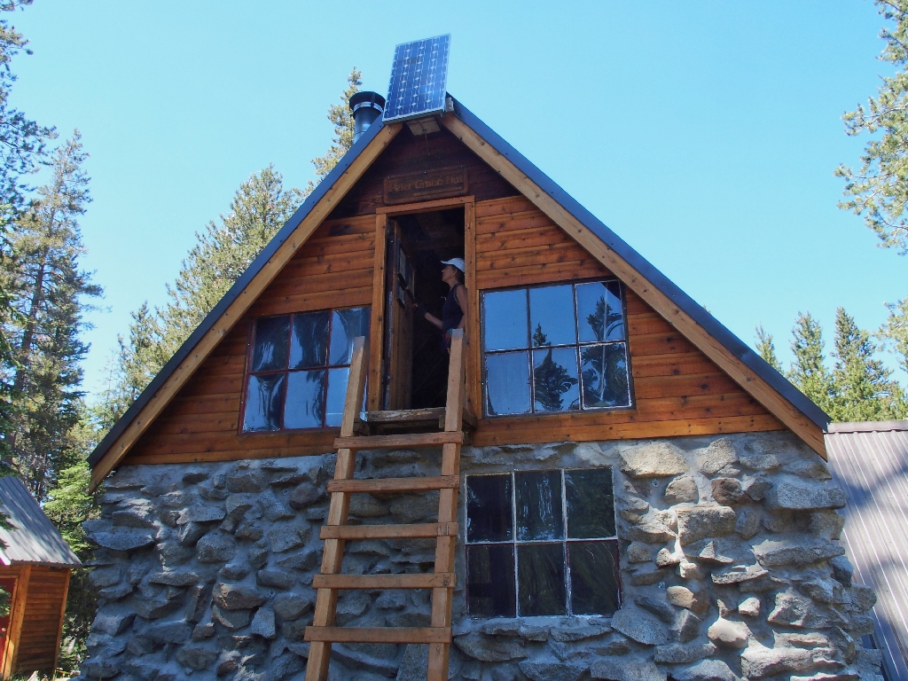
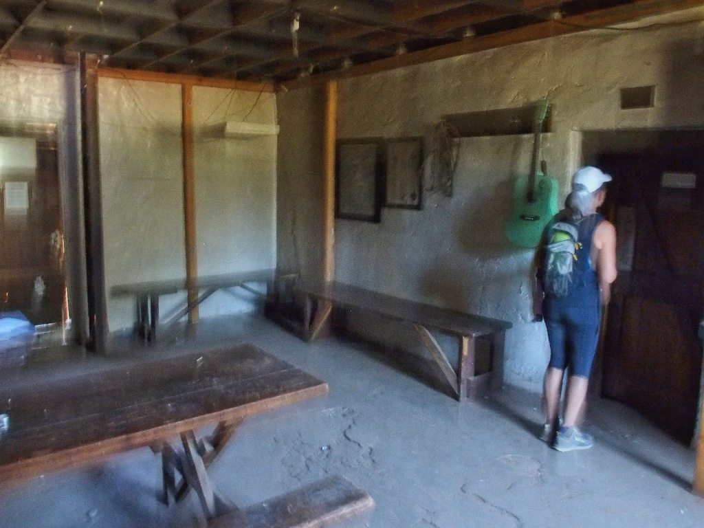
Peter Grubb Hut
This Sierra Club hut is the best-known of four such accommodations in the Tahoe area;
they enable cross-country skiers to enjoy a nice loop trip even when the snow
is deep.
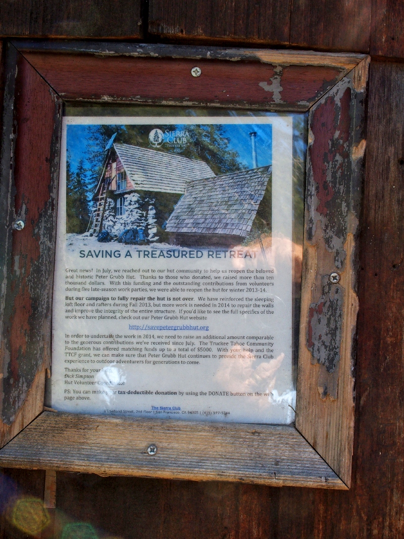
Recent donations have supported needed repairs
Leaving Round Valley
Now it is just a matter of heading up the pass and back down to the car. No time is wasted.
Finishing up
§: Well, that was quite an effort for us old folk; but we handled it
just fine. The unexpected profusion of flowers was most welcome; they lined
the trail from beginning to end.
I must recommend that hikers not return from Castle Peak the same way they went up, because that trail is so unfriendly that it is worth any effort to avoid it. Make the loop to Basin Peak as we did, for a safer and more interesting outing.
| Scenery |  |
| Difficulty |  |
| Personality | |
| Flowers | |