
Desolation Wilderness
|
Heather Lake Loop Desolation Wilderness |
June 30, 2020
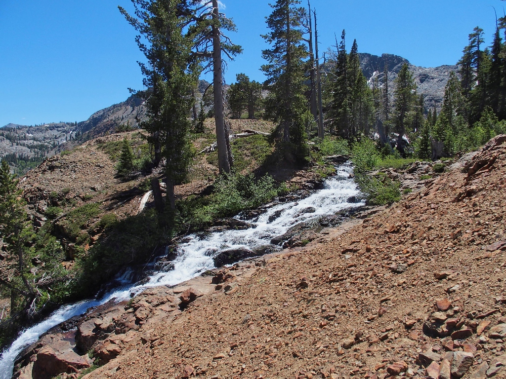
The current heat wave has subsided enough to enable a pleasant below the highest available elevations. With the help of Google Earth, I have identified several potentially scenic areas of cascading water; now I will check them out.

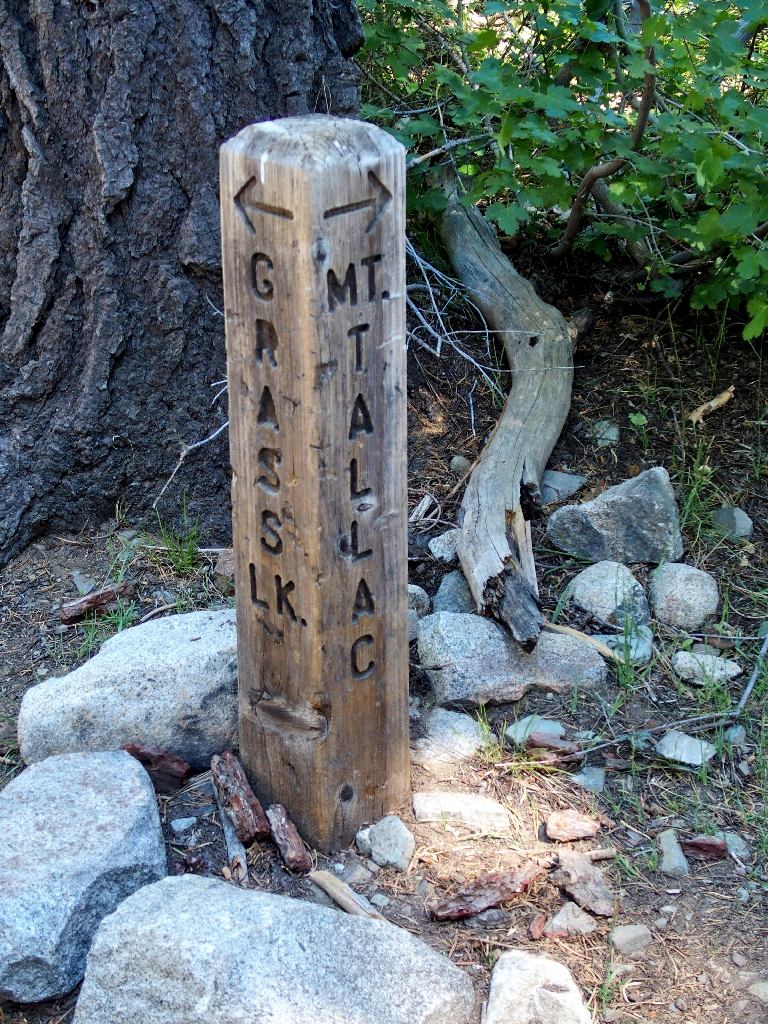
At the Lily Lake Trailhead
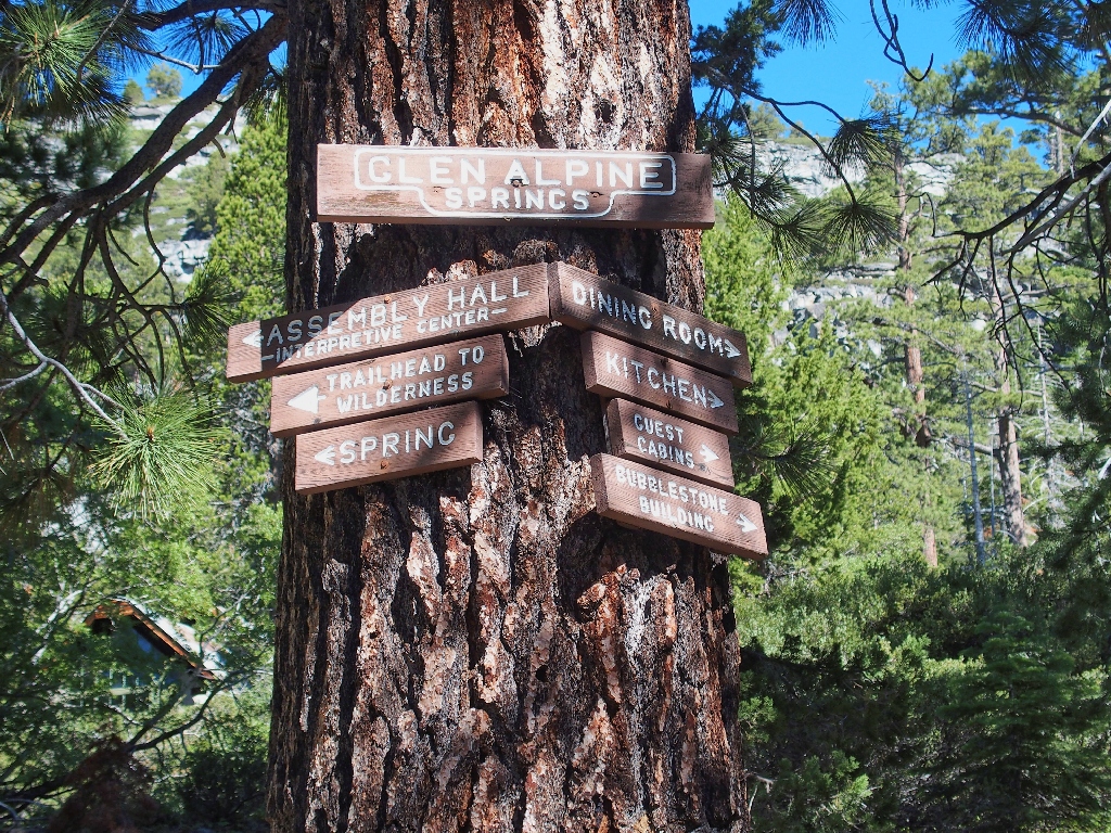
The first mile is a part-time road up to Glen Alpine Springs, a resort built by Nathan Gilmore in 1884 that was quite popular at the time.
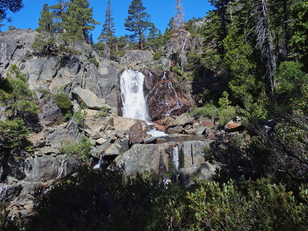
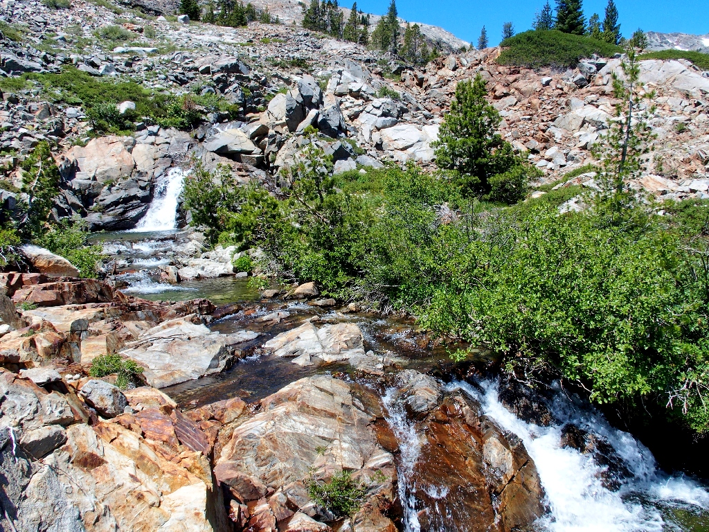
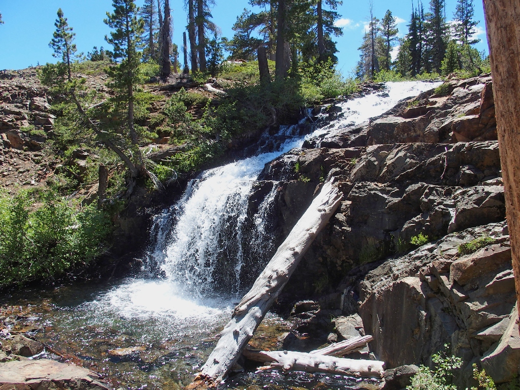
Modjeska Falls on Glen Alpine Creek
Also known as Upper Glen Alpine Falls, they are named after a Polish actress who visited here after performing in Virginia City, Nevada.
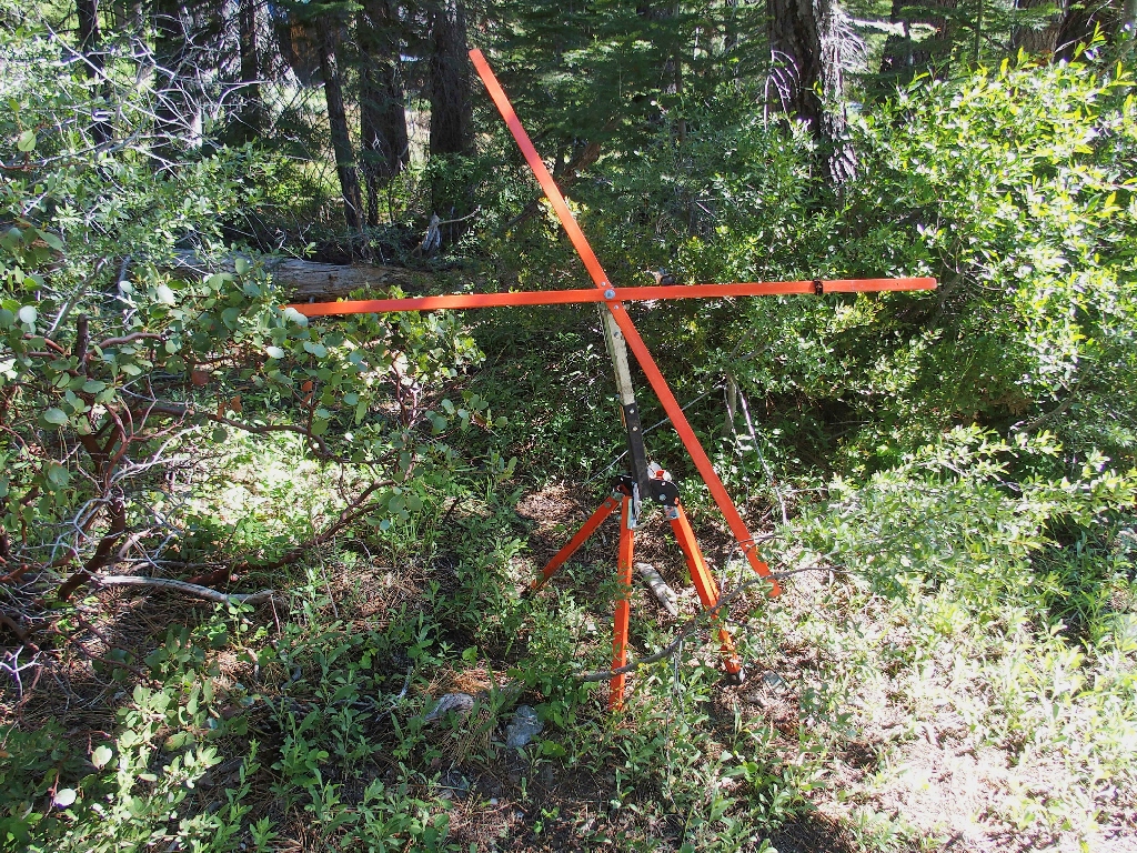
A mysterious contraption
In a non-virus year there is some activity around here in the summer
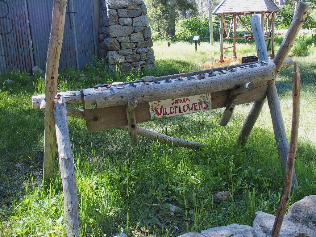
This year's display is not ready
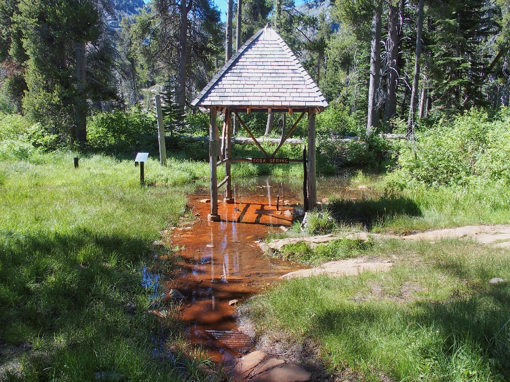
The soda spring
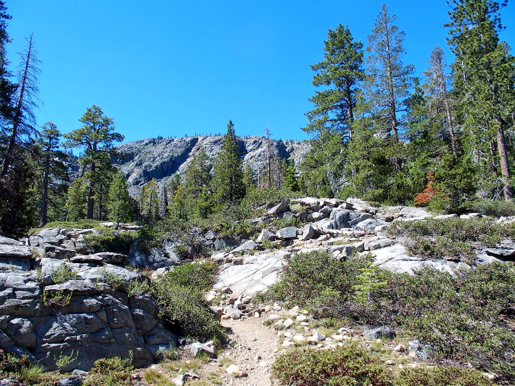
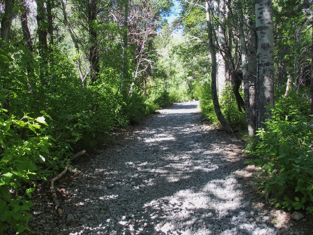
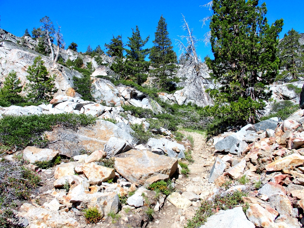
The hiking begins in earnest
Presently I do the inevitable, which is to stash my outer shirt behind a tree. It is going to be plenty warm today.
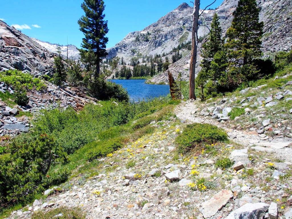
The beginning of the planned loop
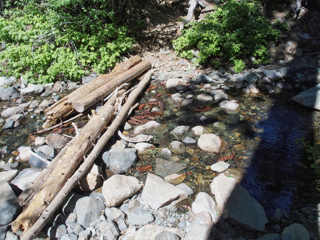
First crossing
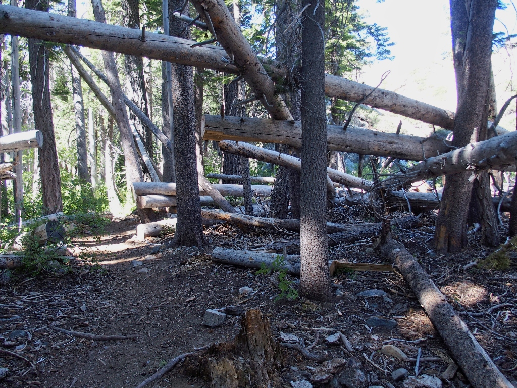
Giant pick-up sticks?
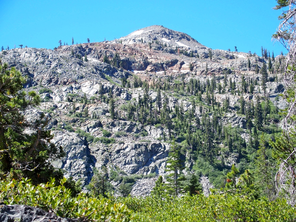
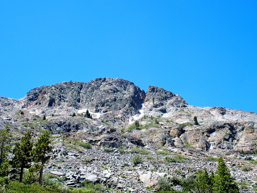
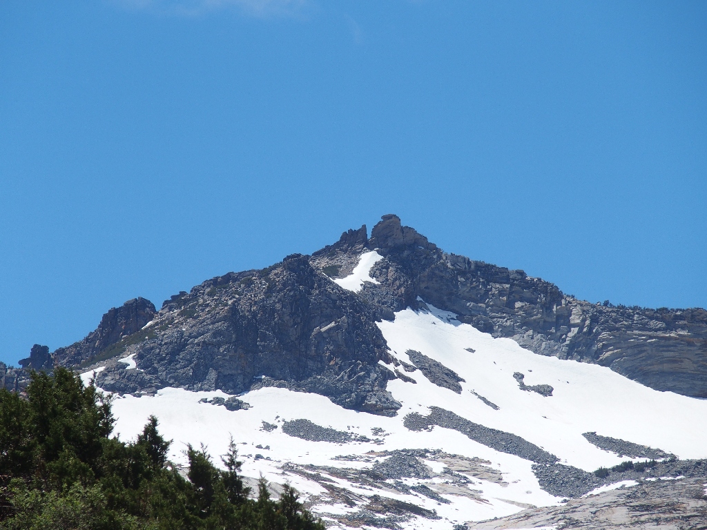
Keiths Dome, 8650'
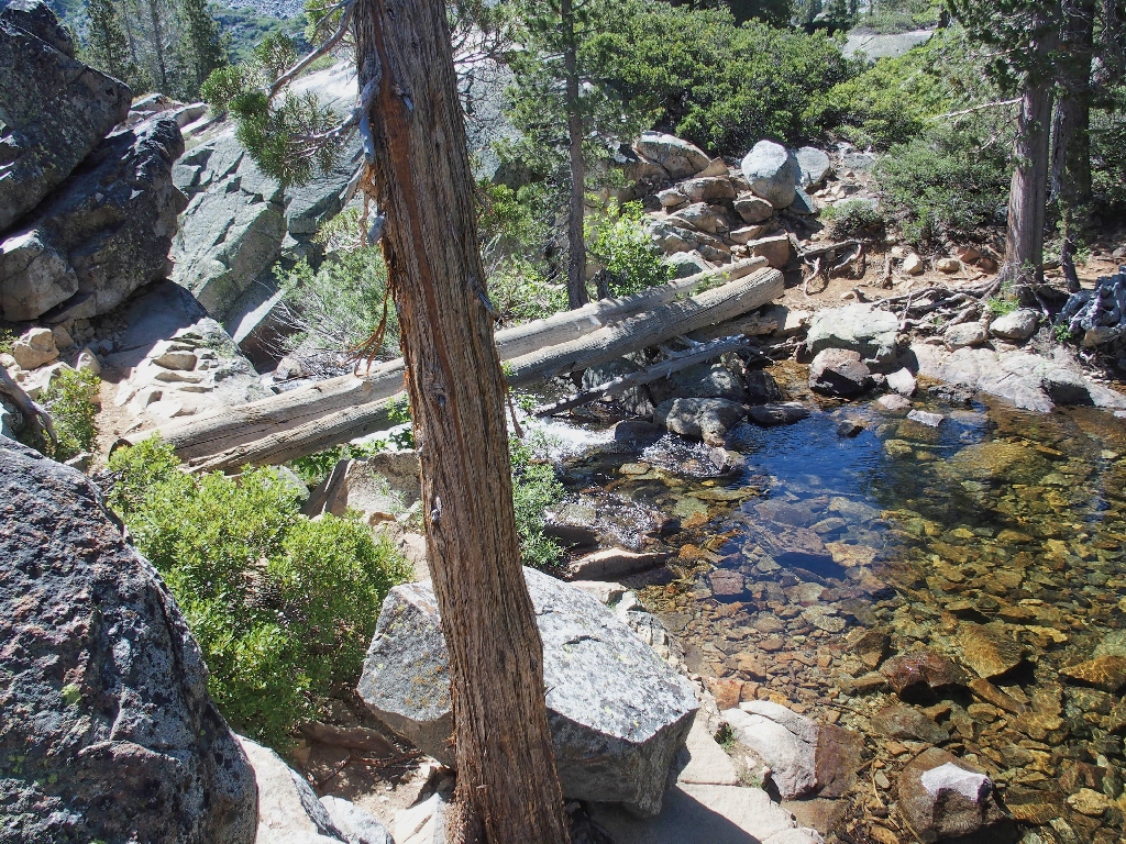
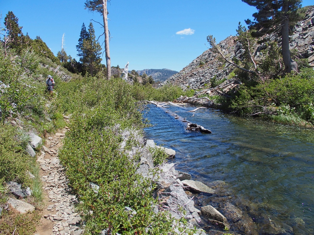
Crossing the big stream is exciting, but easy enough
I don't recall it being such a climb to the next attraction, but it is what it is.
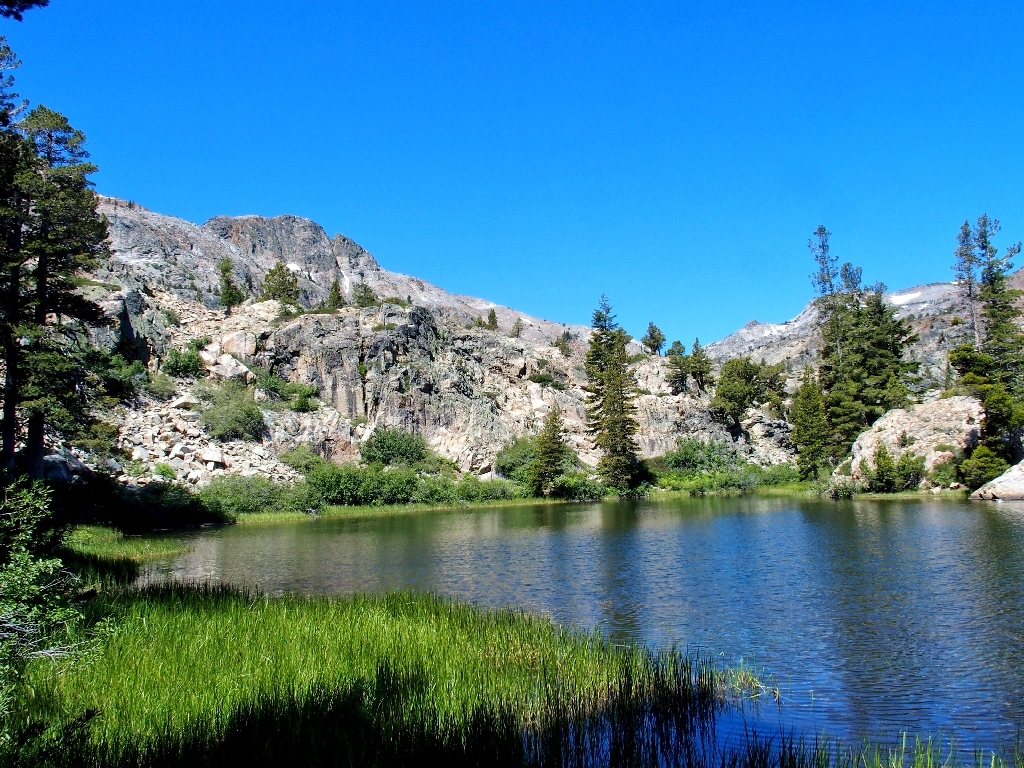
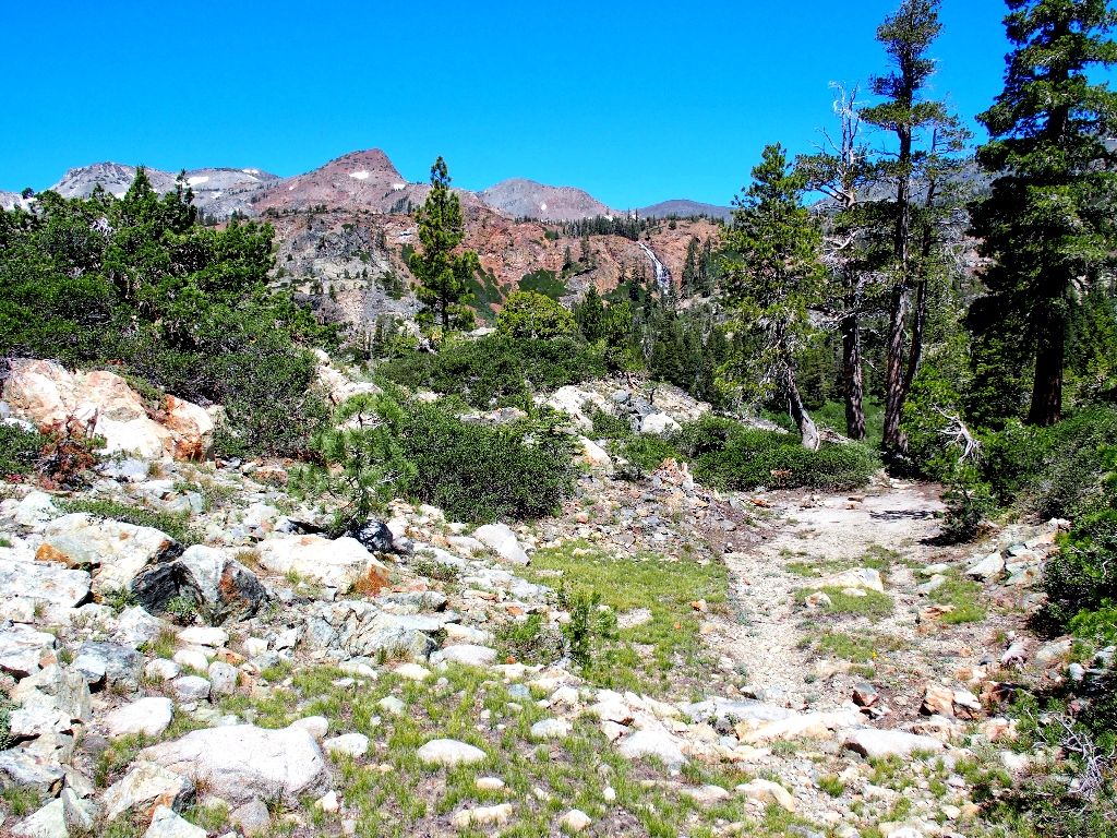
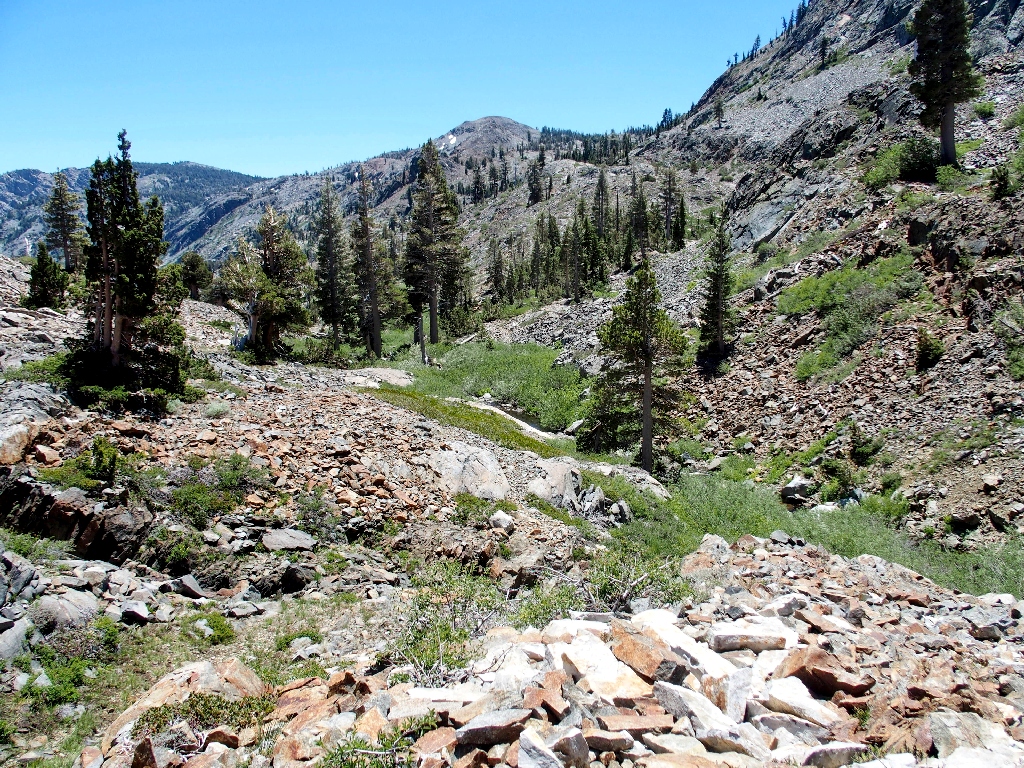
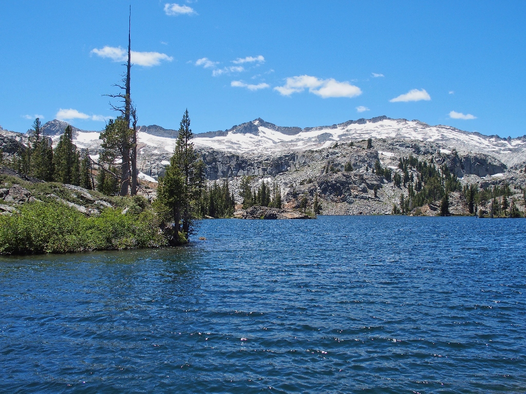
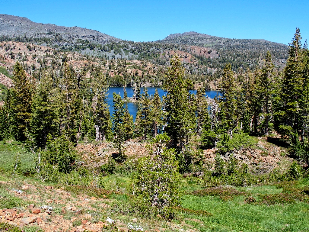
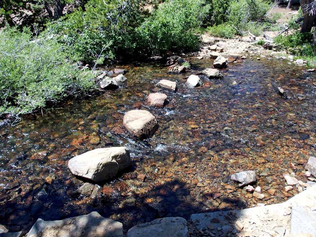
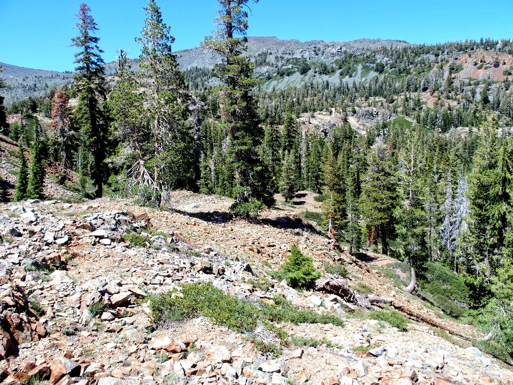
Grass Lake appears after 2½ miles
Almost immediately, I spot the area's most significant feature:
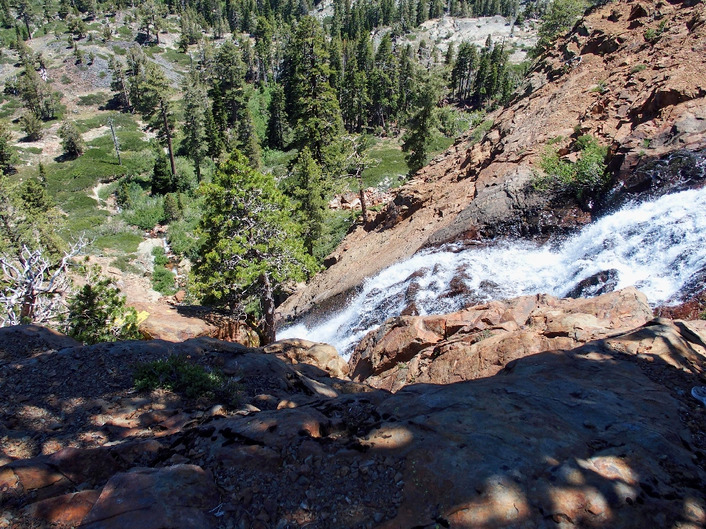
The elusive Susie Lake Falls
I say "elusive", because there is no trail to a worthwhile viewpoint of those falls, and that's a shame. Perhaps I can make it over there eventually; in fact, that was the original plan, and more about that later.
Looking westward
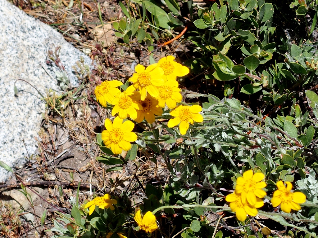
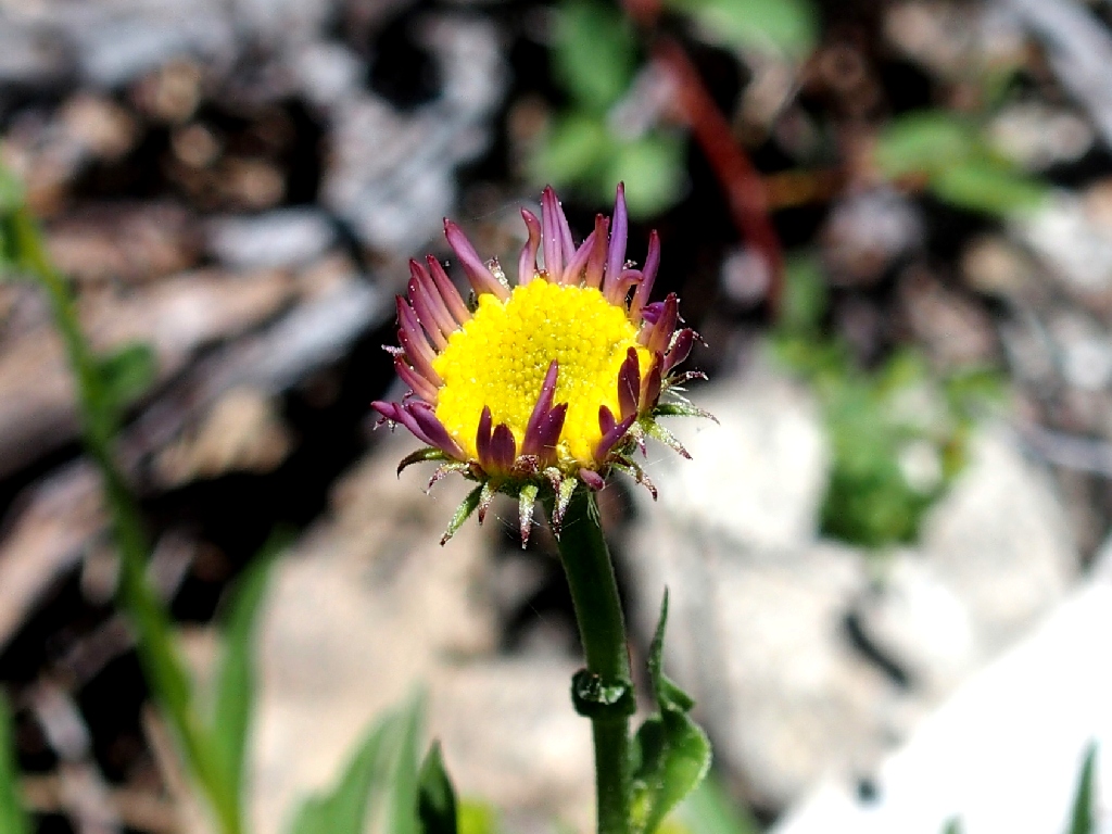
Woolly Sunflower
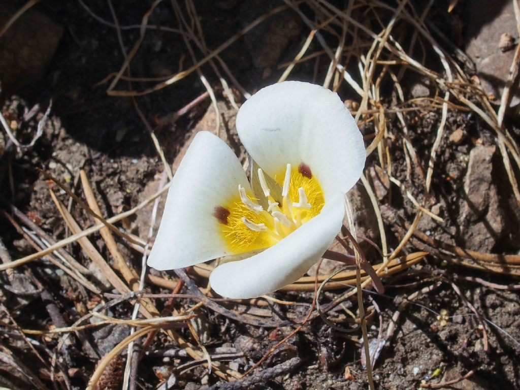
Leichtlin's Mariposa Lily
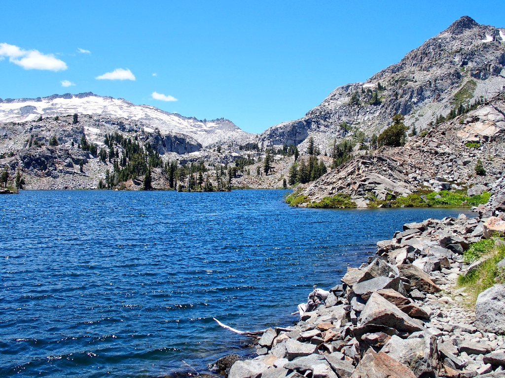
Just ahead, a granite cliff blocks the way, making it impossible to continue the short distance to the end of Grass Lake without getting wet.
End of the line
The only way to continue is to scramble up the talus slope, so that is what I do.
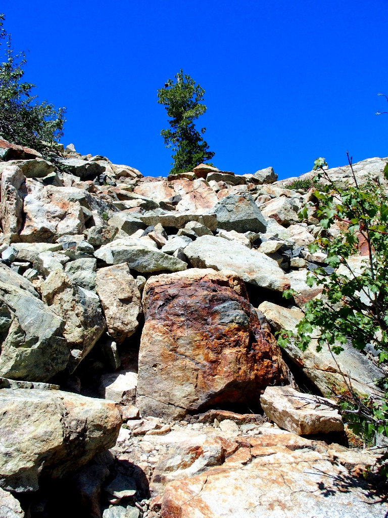
The climb proves easier than it might appear
So long to Grass Lake
Well, that wasn't bad at all. Now I can concentrate on finding some of my prepared GPS waypoints.
Plunging ahead
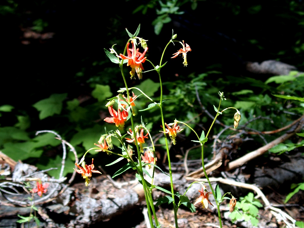
Crimson Columbine
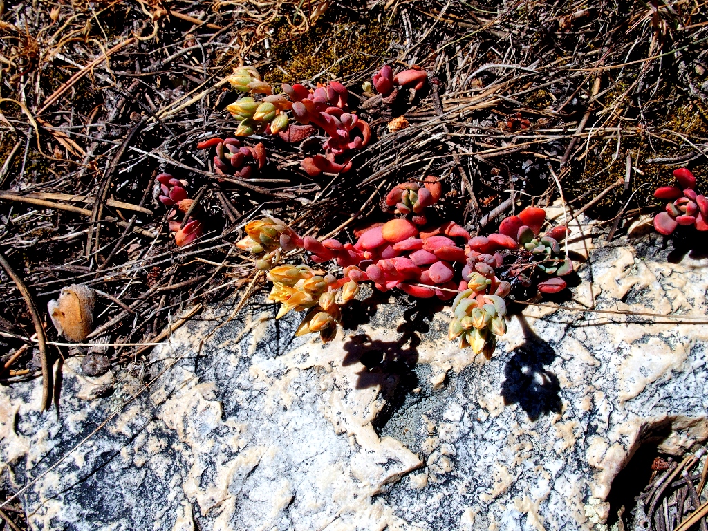
Sierra Stonecrop
For some reason, I had not anticipated how rocky the terrain would be. Clambering around here is most interesting; but it is not easy, and attempting to locate specific spots makes the going even more difficult.
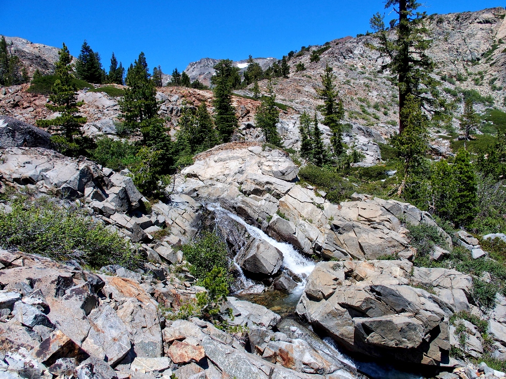
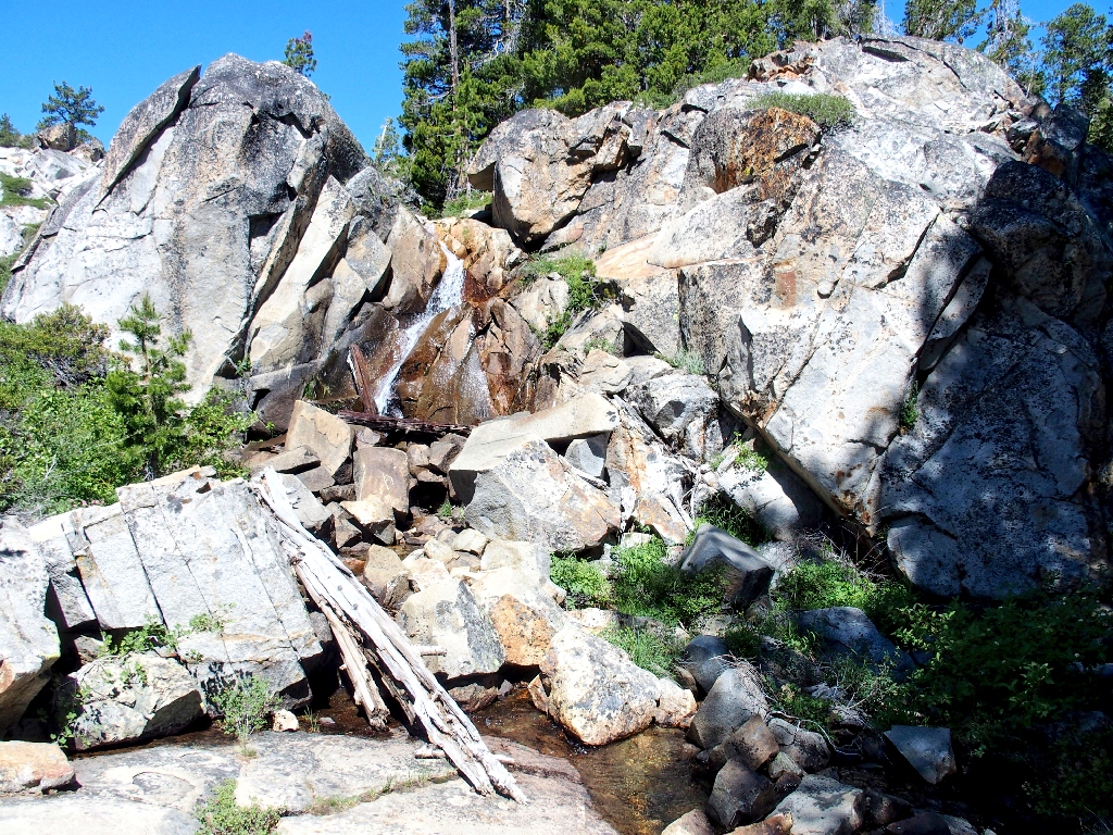
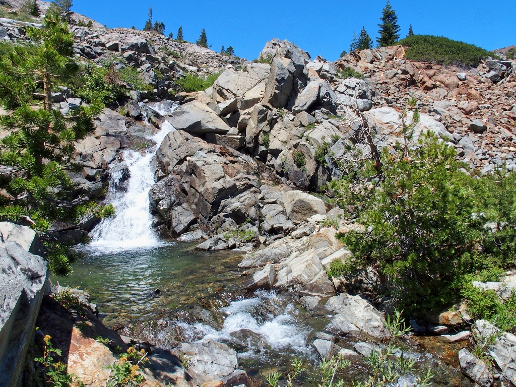
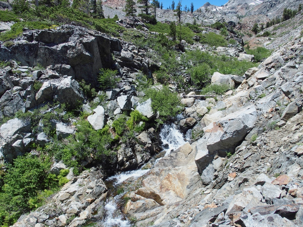
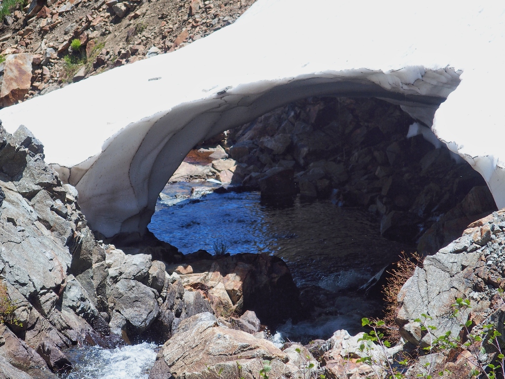
At the first waypoint, there is indeed a nice little cascade.
I'm supposed to love this sort of thing, though; and this is why it is necessary to hike solo at times. Most others are not so keen on this type of adventure.
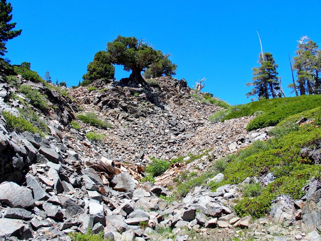
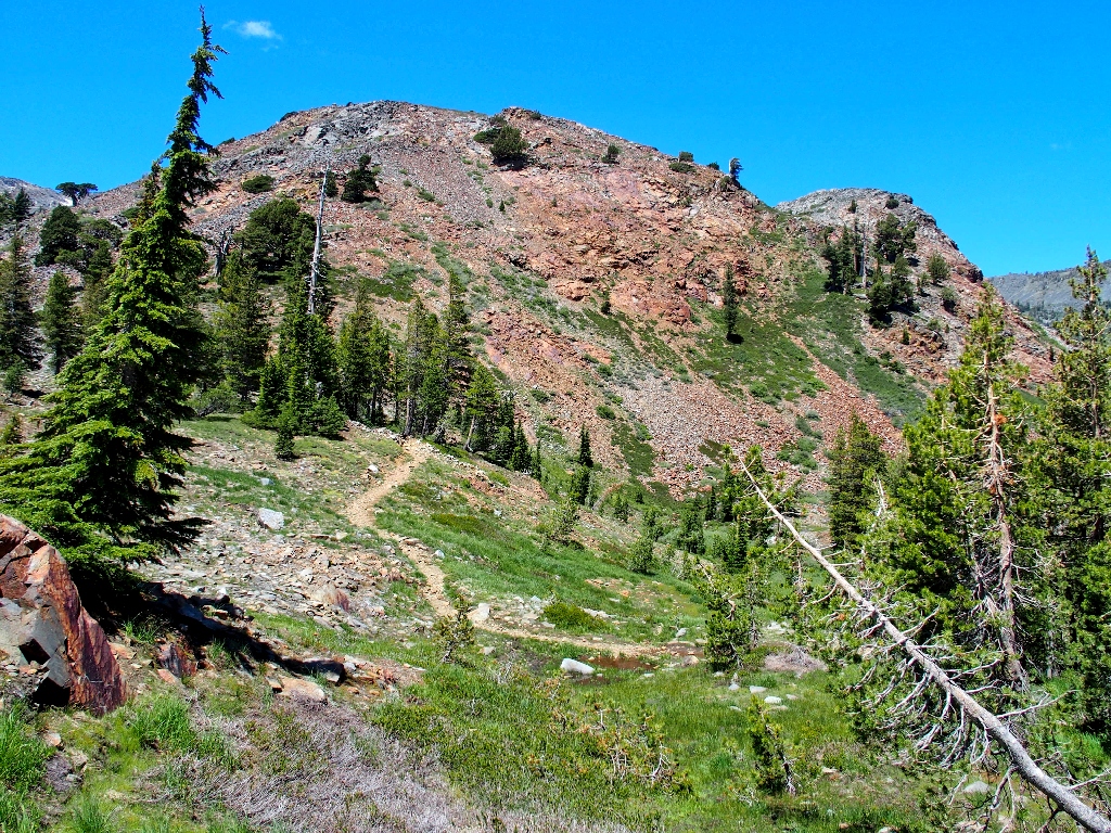
Cracked Crag, 8782'
I'd like to scale that rock sometime — from the other side, that is.
Another beautiful waypoint
Who else sees this stuff?
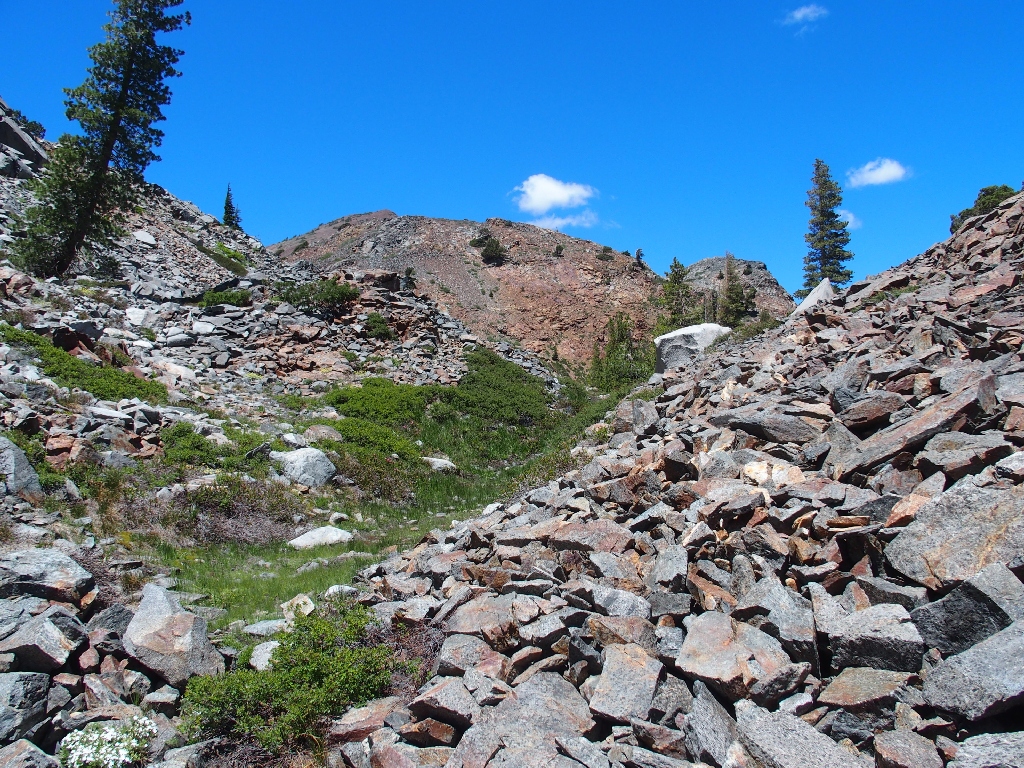
But now that I have seen it, what's next? The channel ahead looks particularly forbidding; but according to the GPS, it's only four-tenths of a mile to a real trail. Alternatively, I could head back around the hill to the base of Susie Lake Falls after all; but that would be quite a bit farther. I believe I'll see this through, although some sort of detour will be in order.
The going looks easier on the other side, so I cross over
That's where I've been
No passage here near the water
I must temporarily abandon any hope of remaining close to the creek. A little cleft between the two hills on my right looks inviting, so I head up that way.
This is a lot better than big talus boulders
Almost a cakewalk now
There always is time for a Wandering Daisy
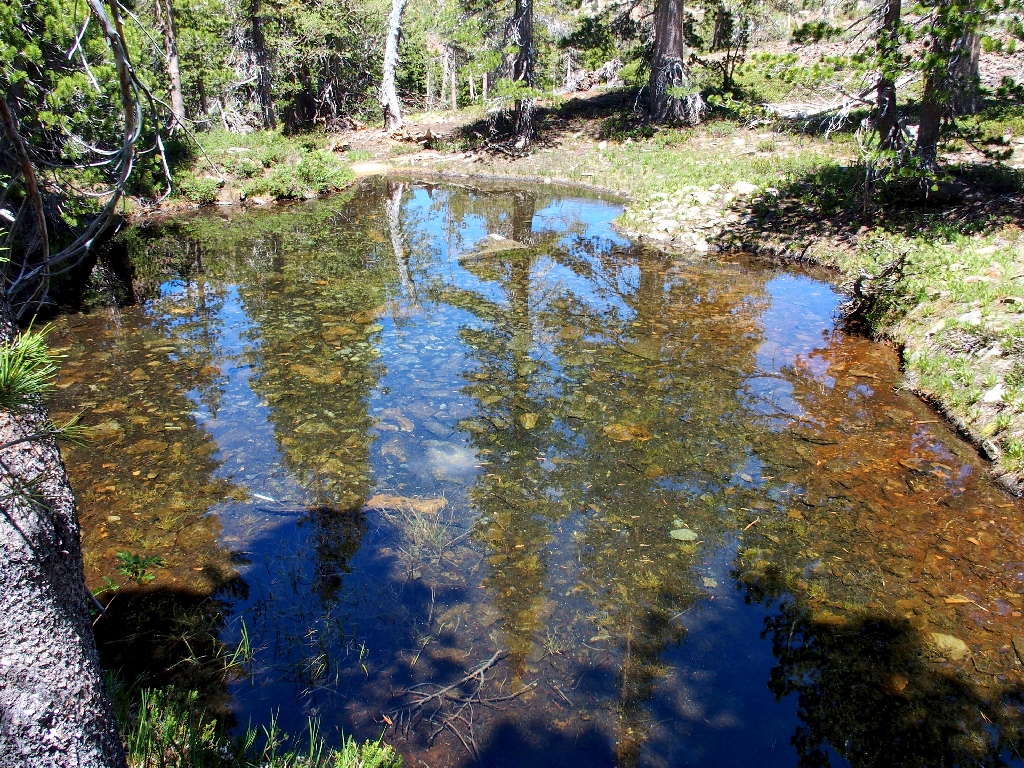
Leveling out suddenly, the terrain offers me a couple of cute little ponds:
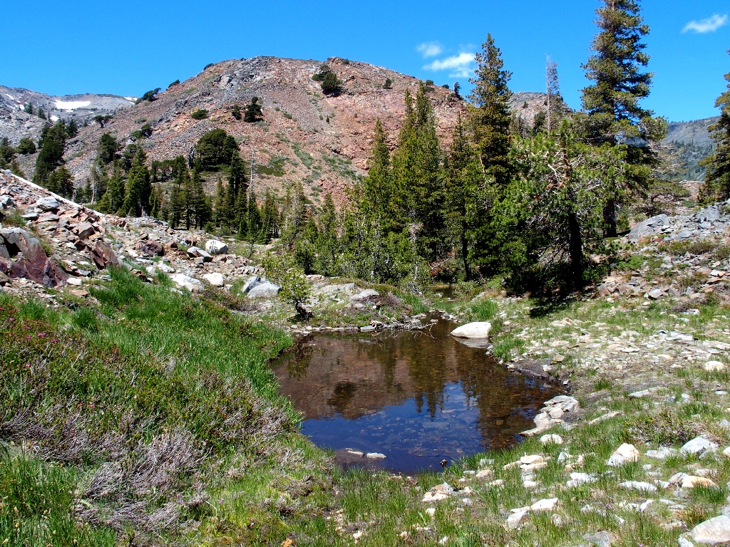
Beside one of them is a batch of some of of my favorite flowers. My fortune has changed markedly in the last fifteen minutes.
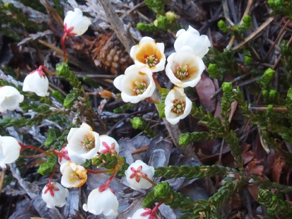
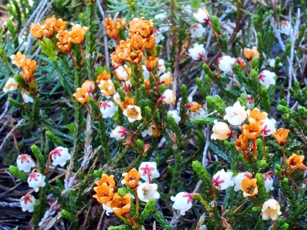
White Mountain Heather
Red Mountain Heather
Just beyond the pond lies my interim salvation:
The Pacific Crest Trail awaits me
The original plan was to exit the canyon right at the Heather Lake outlet. Now, that point is nearly a quarter of a mile away; but I am so delighted with the recent turn of events that I opt to detour westward to have a look.
An unexpected treat
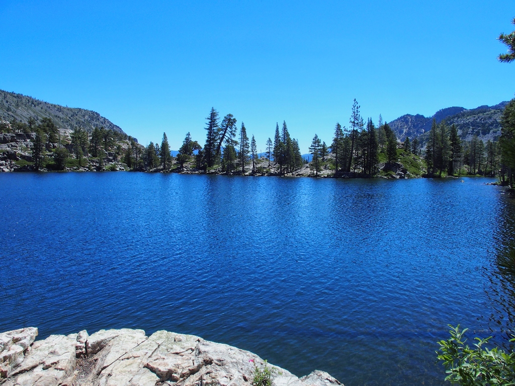
There it is
Although I had previously viewed this lake from the summits of both Pyramid Peak
and Mount Tallac, that is not the same as being up-close and personal.
This place is delightful!

Heather Lake, 7800'; and Jacks Peak, 9856'
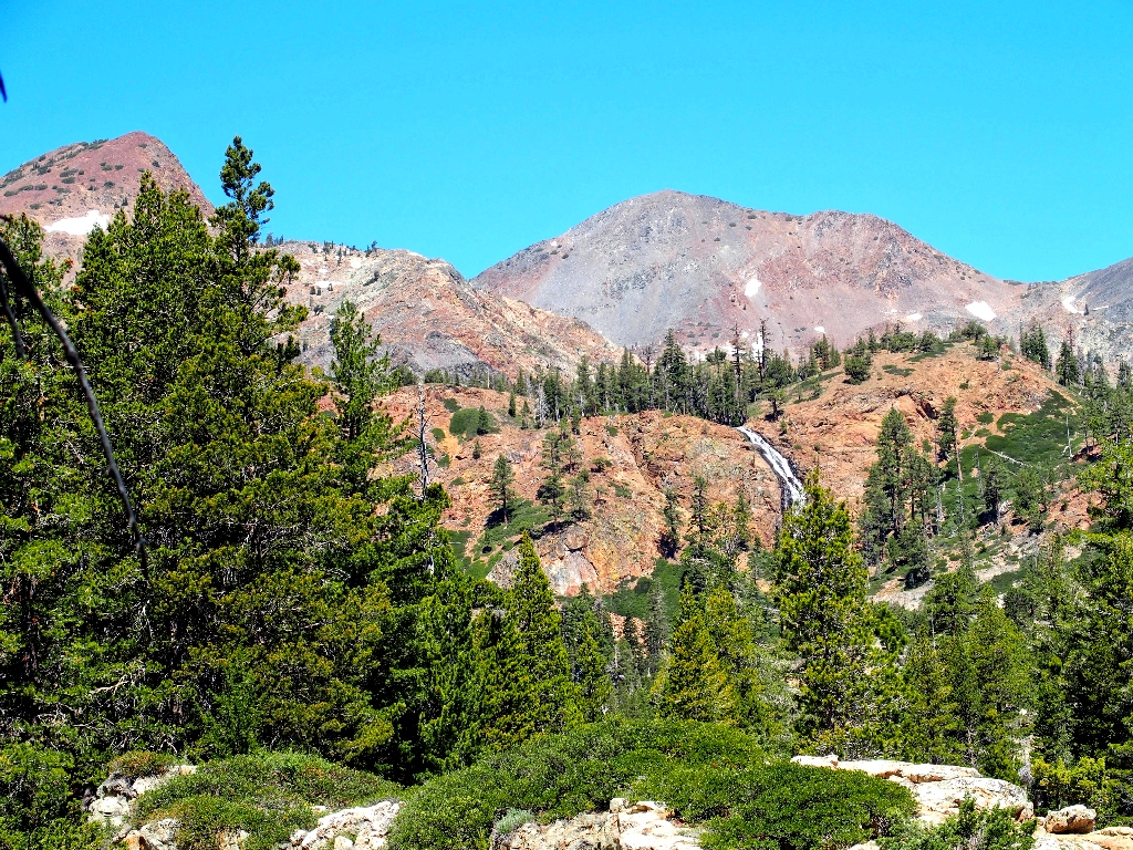
Across the way, atop the Crystal Range, are the three tallest peaks in Desolation:
Pyramid Peak, 9984' (left); Mount Agassiz, 9967' (center); Mount Price,
9974' (right-center)
Out of sight in front of them lies the wilderness centerpiece, Lake Aloha.
The flat-topped summit of Agassiz is a climbers' favorite
A good-feeling place
Another hiker!
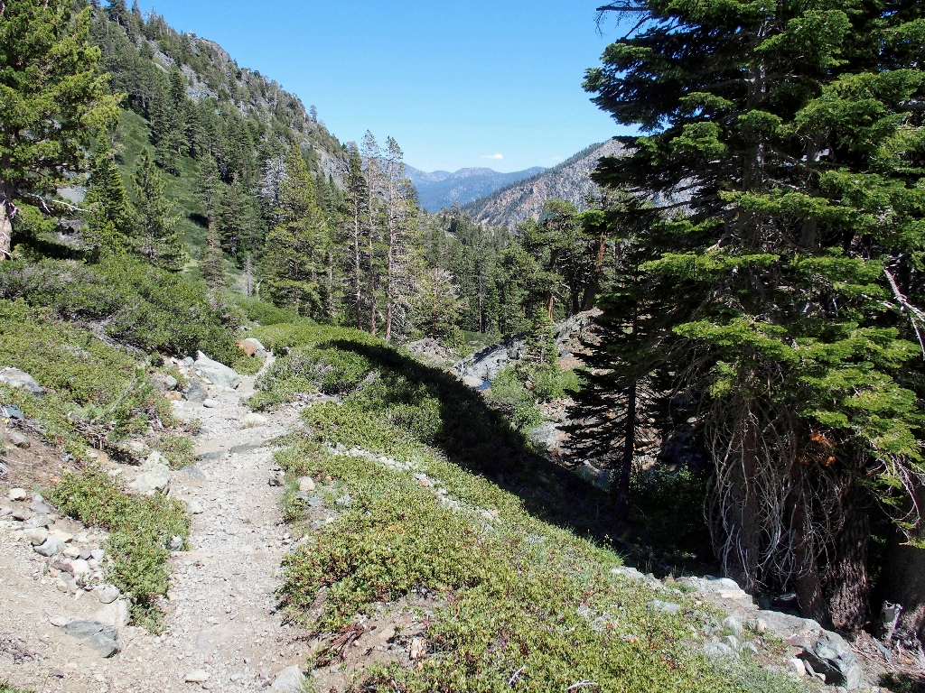
The appearance of the first human I have seen in quite a while is my cue to start back. The car is five miles away, but at least there will be a trail.
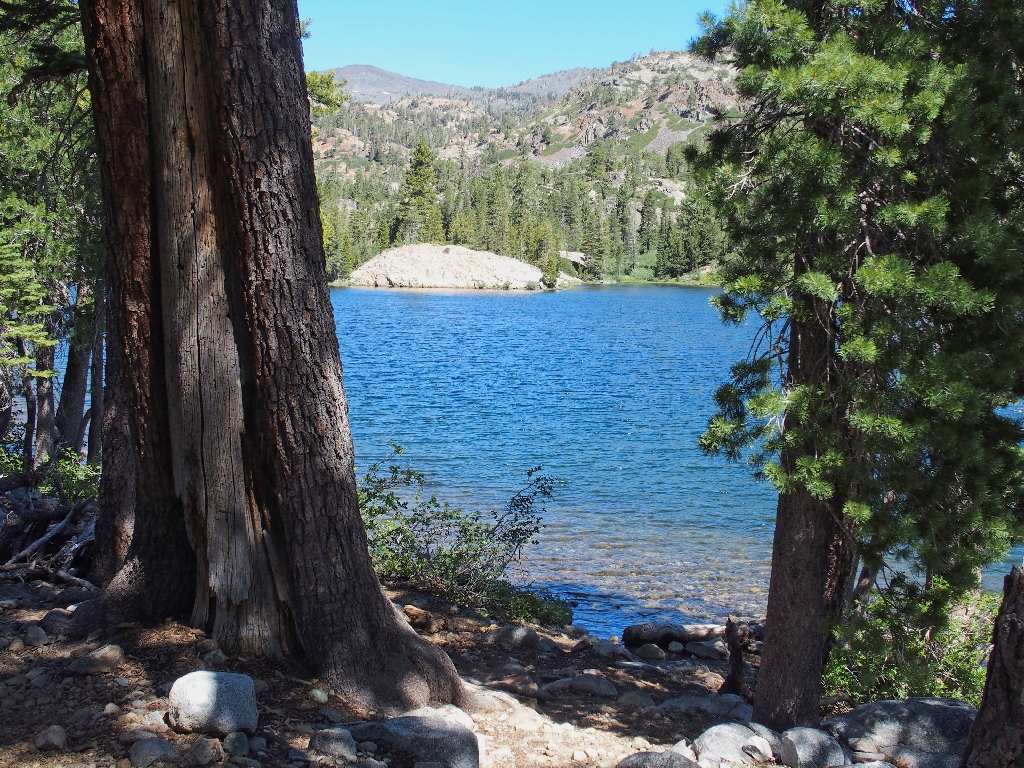
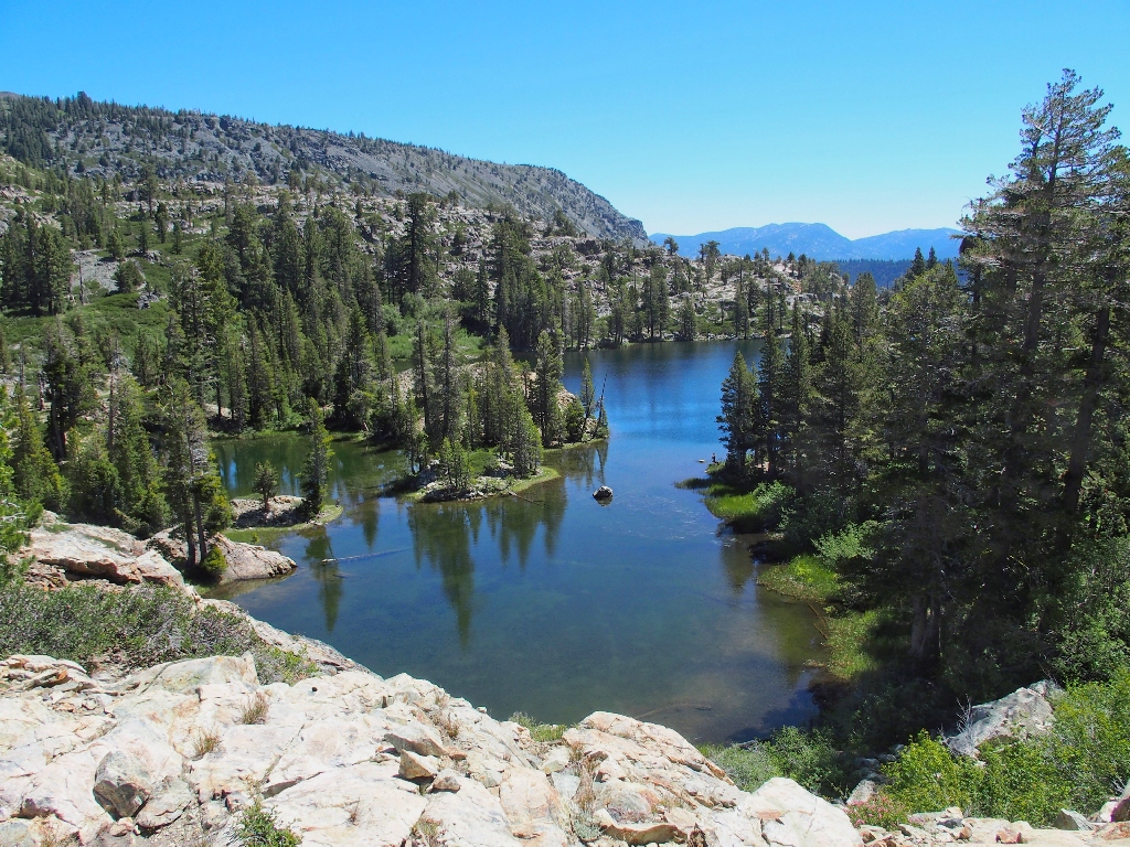
First view of Susie Lake
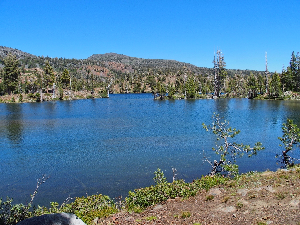
A completely different personality from that of the neighboring Heather Lake
Because I have tortured my feet quite a bit already, I decide to give them a break. Doffing my boots, I dunk my feet into the lake and enjoy the underwater show.
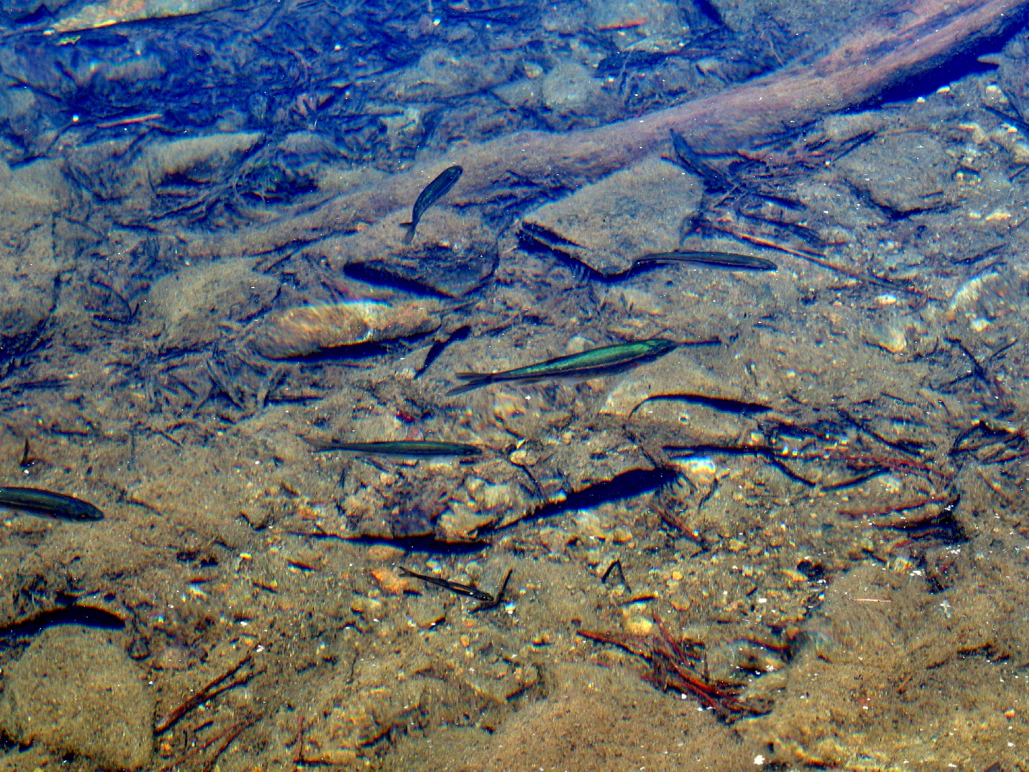
Minnows are everywhere
Several photographs produce some interesting visual effects:
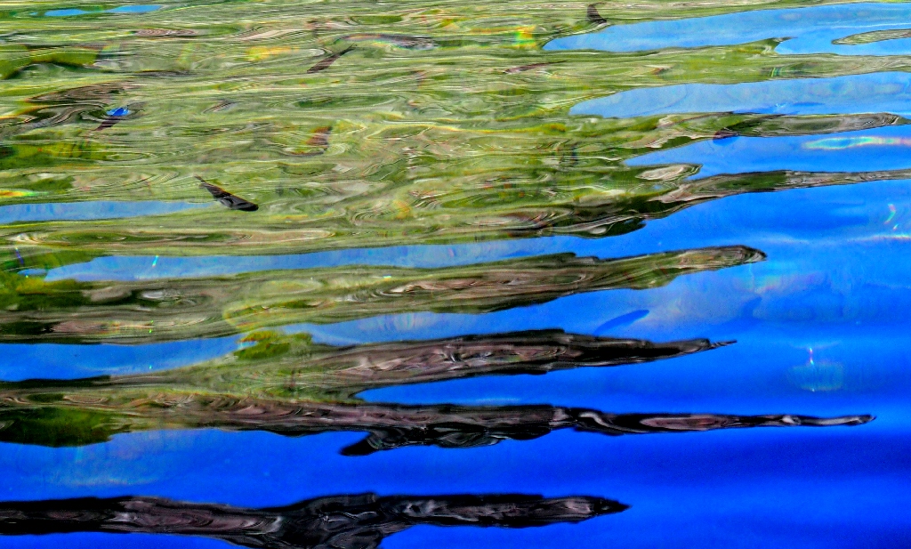
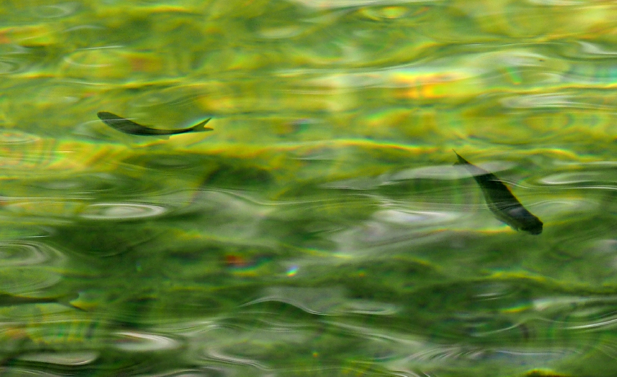
Pretty neat
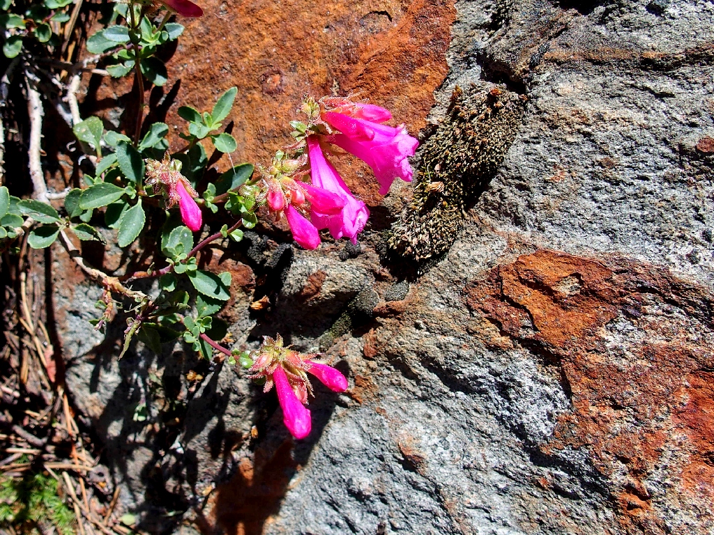
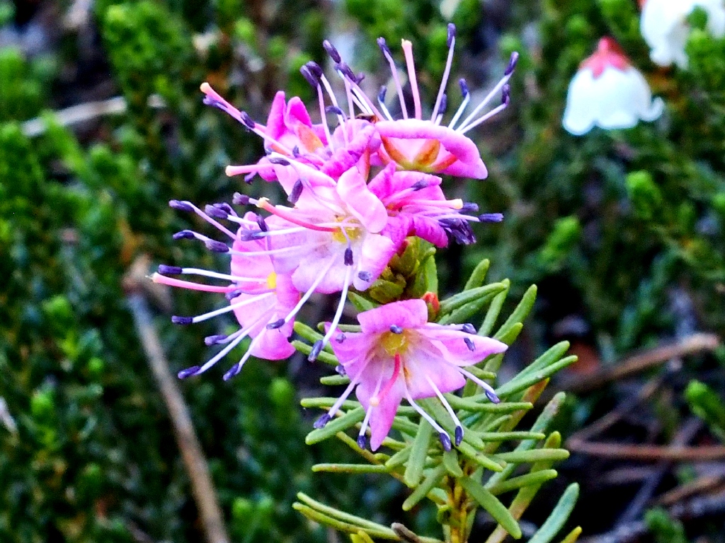
Mountain Pride
Now it is time to check out the waterfall.
The lake's outlet is jammed
Hopping across on the PCT
Having been here previously, I know what to expect; but it can't hurt to take a new batch of photographs.
At the brink of the falls is a nice view.
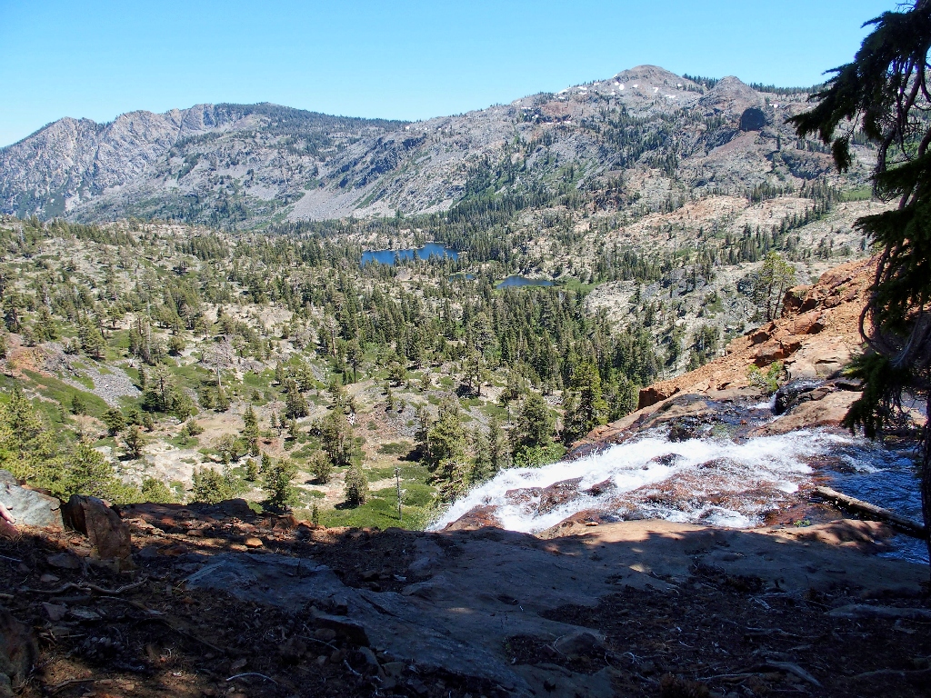
Grass Lake in the distance
The best available views of Susie Lake Falls
Rather than retrace my steps to the lake outlet and regain the PCT, I opt to
stike off to the northeast on yet another 'shortcut', hoping that the going won't
be too unfriendly. Am I just glutton for punishment, or are the rewards of
off-trail exploration worth any effort?
The route doesn't look bad, so I take it
Within a short half-mile I regain a path, which no longer is the Pacific Crest Trail; I seem to have bypassed the junction where it turns northward.
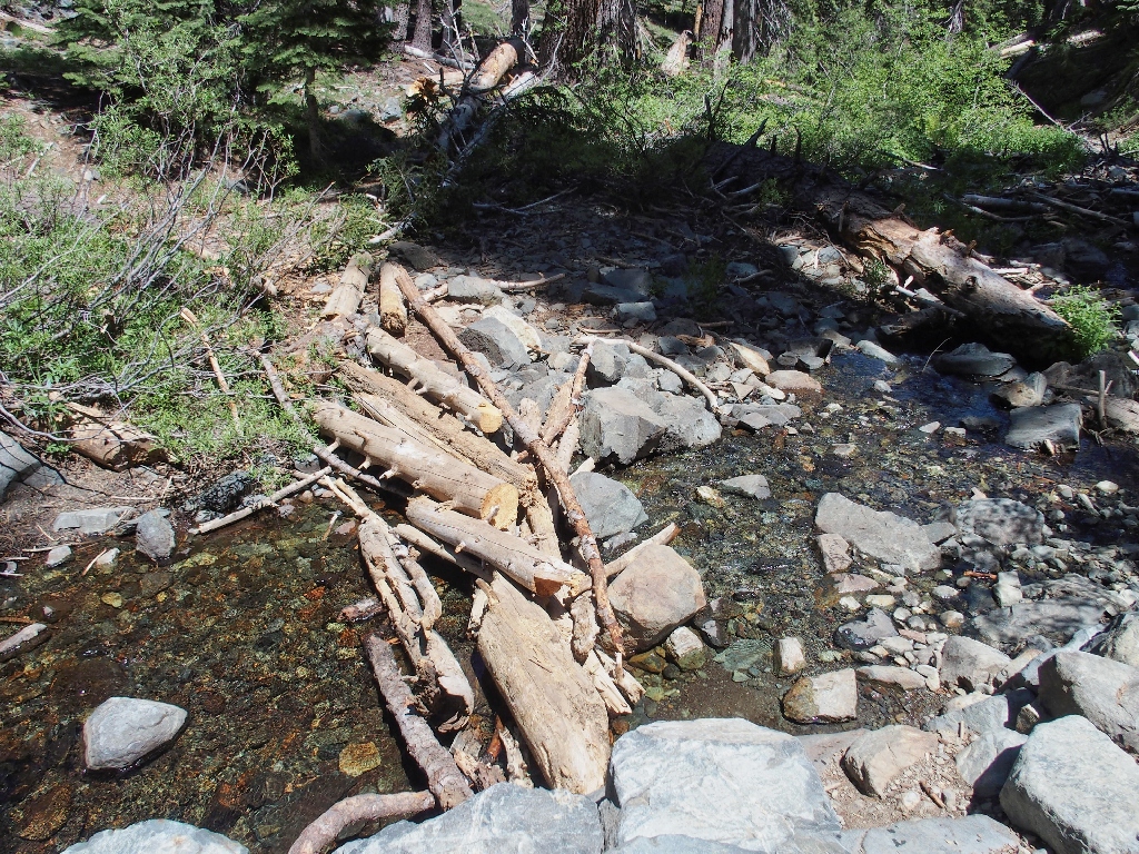
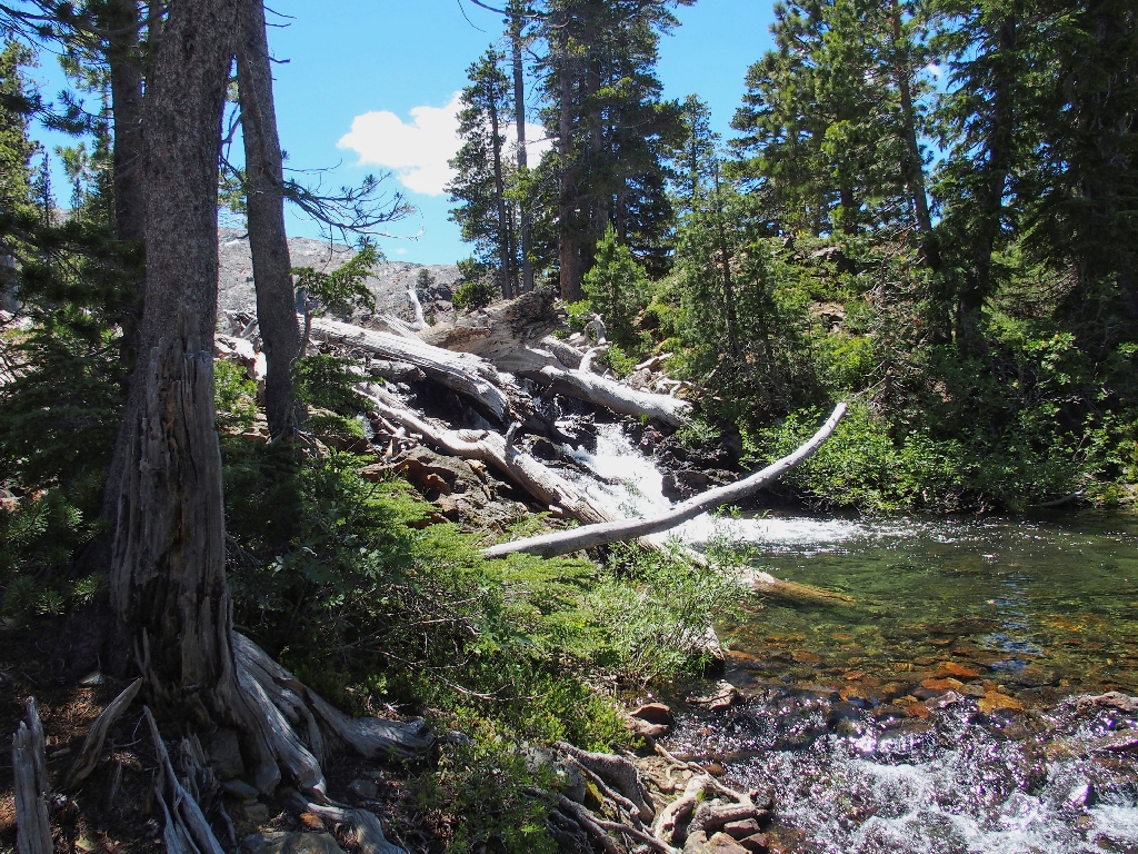
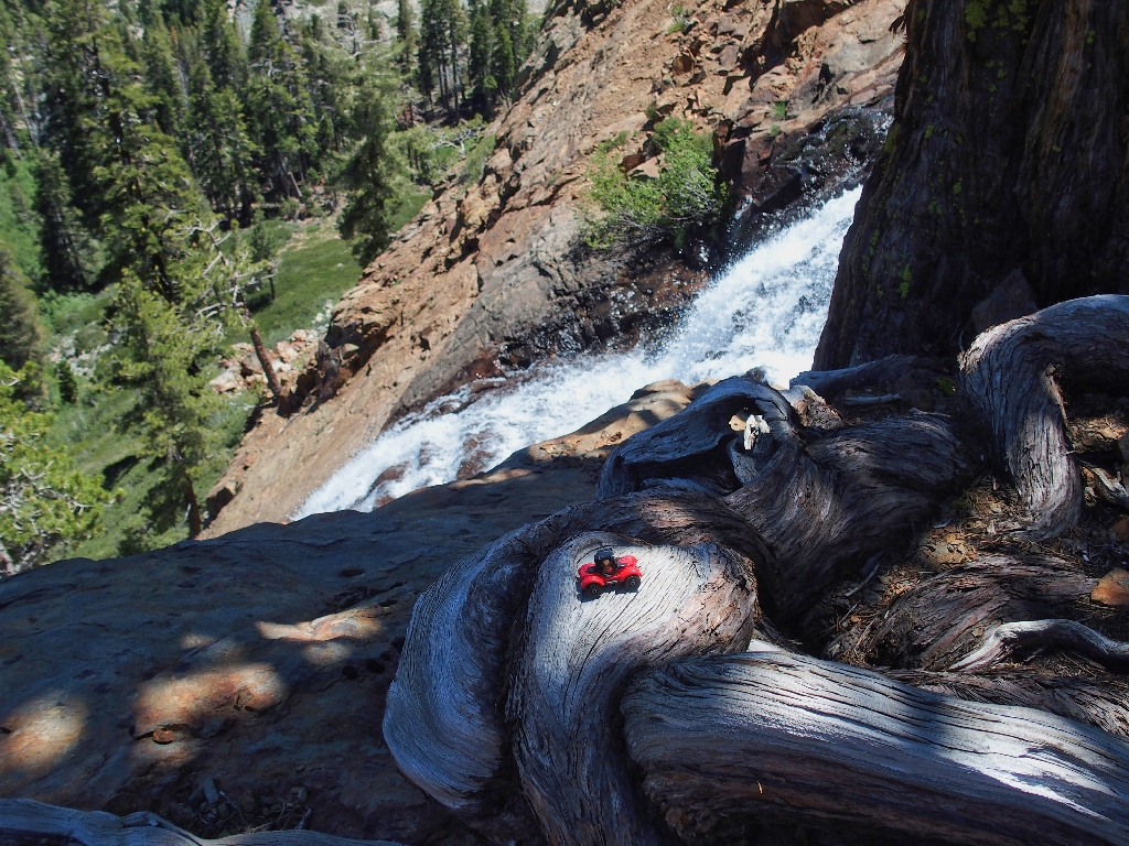
The logs prove unneeded
Any thoughts of actually descending the mountainside here for a better view of
Susie Lake Falls is quickly dispelled, for I am too weary for that. From here
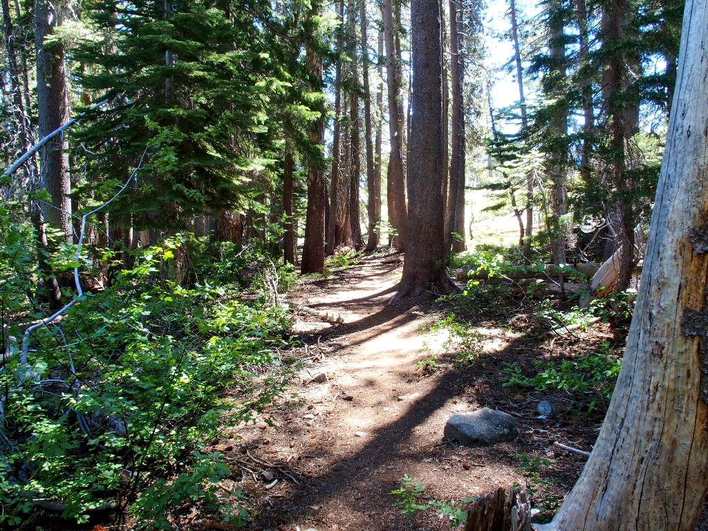
it is just a long, somewhat dusty slog down to Glen Alpine Springs, on the inevitable
Desolation-style gruss that the Forest Service uses to help keep the routes
in good repair.
Just putting one foot in front of the other for nearly three miles
Breaking out my Walkman to relieve the upcoming tedium, the only reason to pause in the next hour is to enjoy a bit of welcome trailside graffiti. There is nothing else to see or enjoy on the way down to the canyon bottom.
The most interesting thing on this trail segment
Near Glen Alpine Springs, I retrieve my stashed shirt and walk the last mile as quickly as possible.
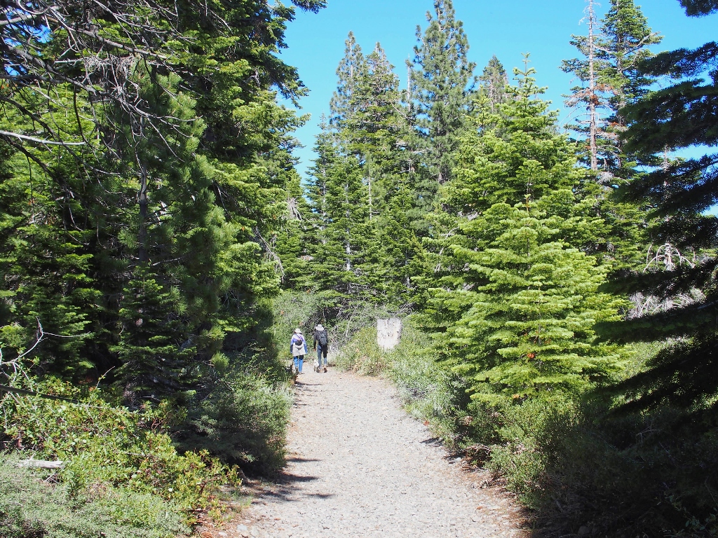
I would pass that couple shortly
§: Well, I got what I deserved today, in two respects. Experience
has shown that cross-county going in the northern Sierra invariably is difficult,
and today was no exception; why I chronically fail to anticipate that is an ongoing
mystery.
On the other hand, I enjoyed some neat stuff today that virtually no one else ever sees, and there was only one way to do it. In retrospect, the only negative aspect of the day was the rough, boring route down from Susie Lake. This was my third and probably my last trek on that particular trail.
My original plan had been simply to visit the base of Susie Lake Falls, there being
no other good vantage point; then I got sidetracked by images on Google Earth and
decided to visit some other water-intensive places instead.
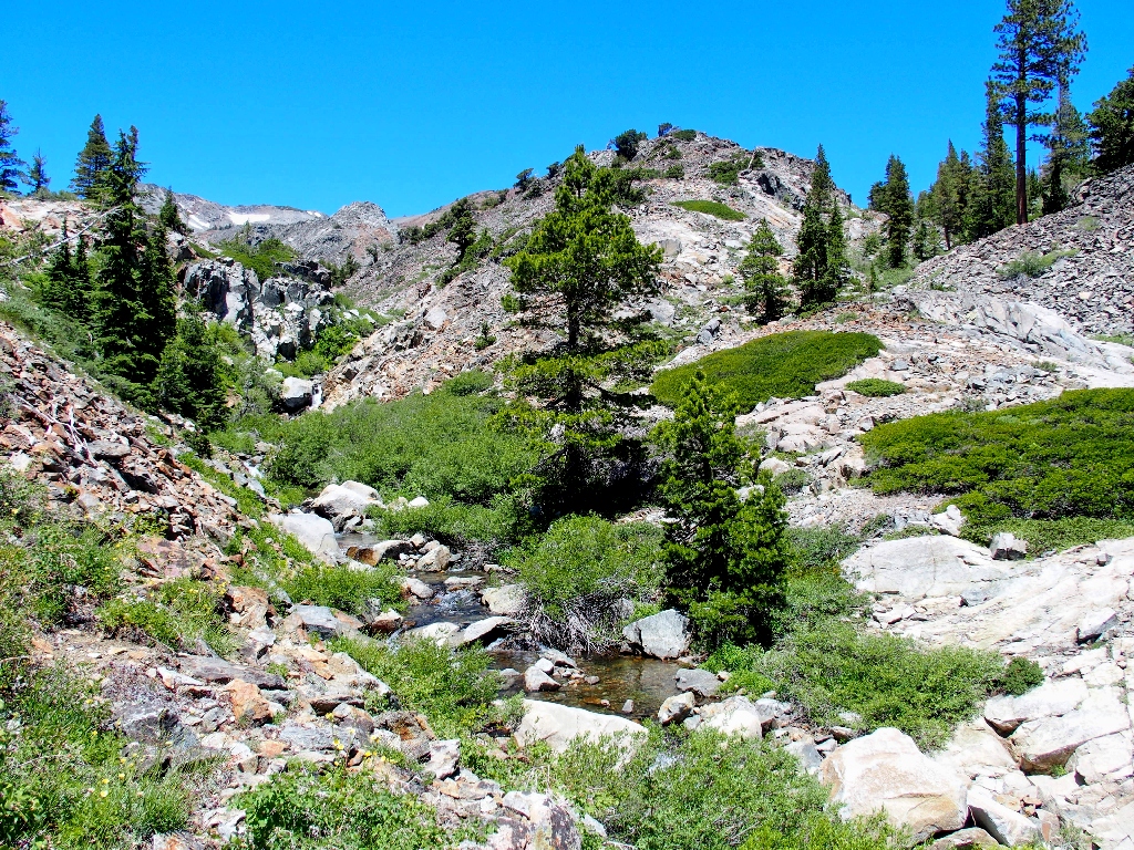
By remaining low in the canyon, a cross-country venture directly from Grass Lake
should be doable; and that would be worthwhile. It remains on my bucket list.
| Scenery |  |
| Difficulty |  |
| Personality |  |
| Adventure | |
| Flowers |  |
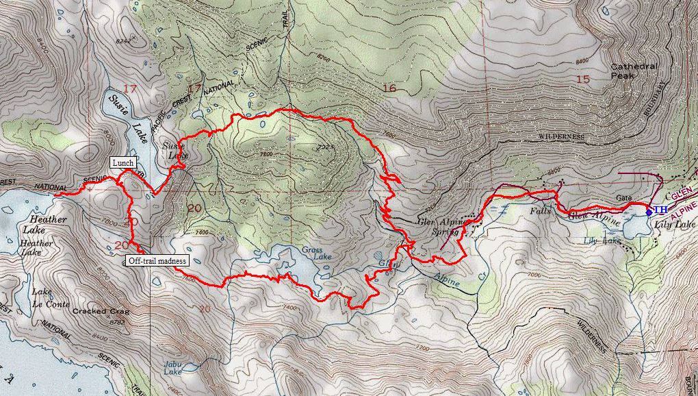
(clockwise loop)
