
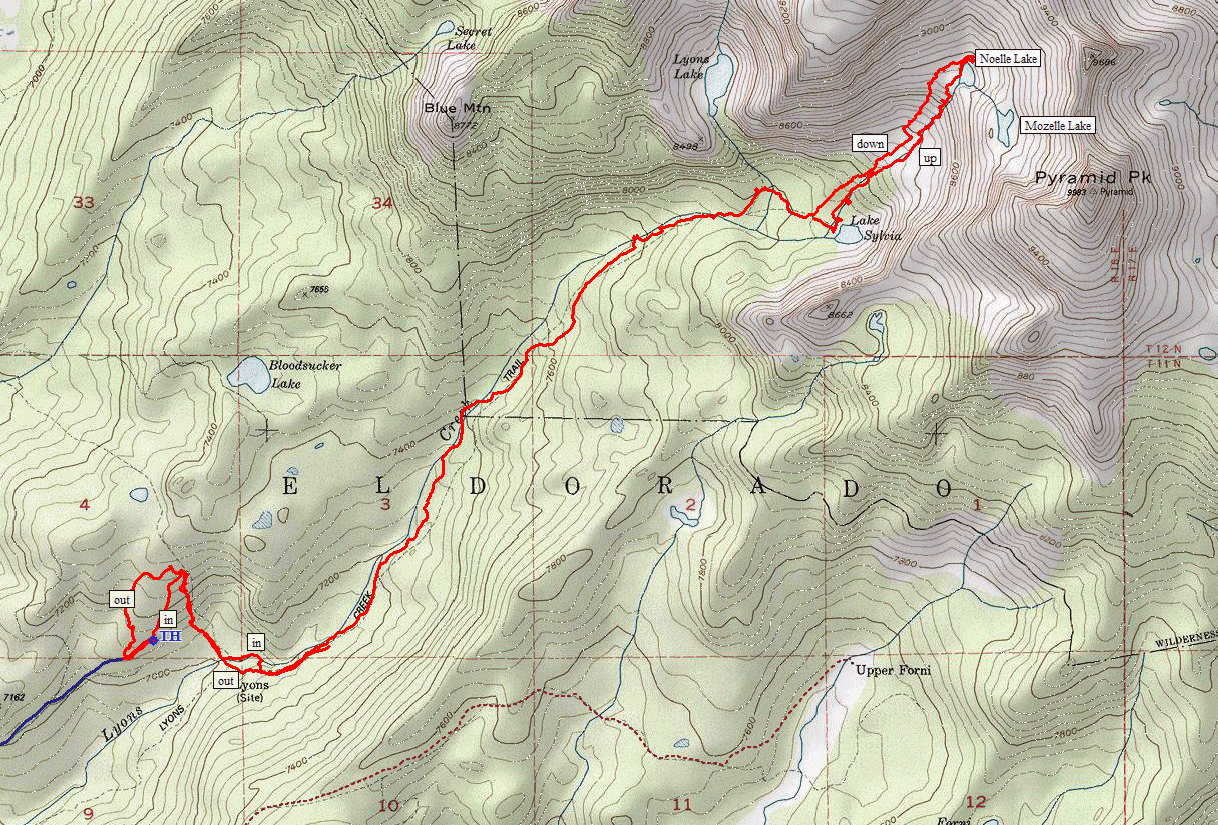
Desolation Wilderness
|
Noelle Lake Desolation Wilderness |
June 21, 2020
I had visited the Lake Sylvia area back in 2007; but there are a couple of
inviting tarns farther up on the slopes of the Crystal Range. Because getting
there from the Lyons Creek Trailhead would involve mileage beyond my normal range,
I previously explored an alternative starting-point on a back road some
years ago. This is my big chance finally to make use of it, because it is
supposed to save more than two miles of slogging.
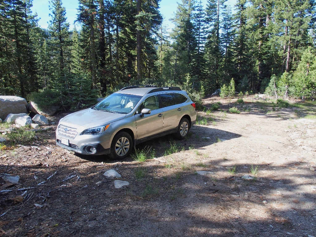
I'll be the only one parking here
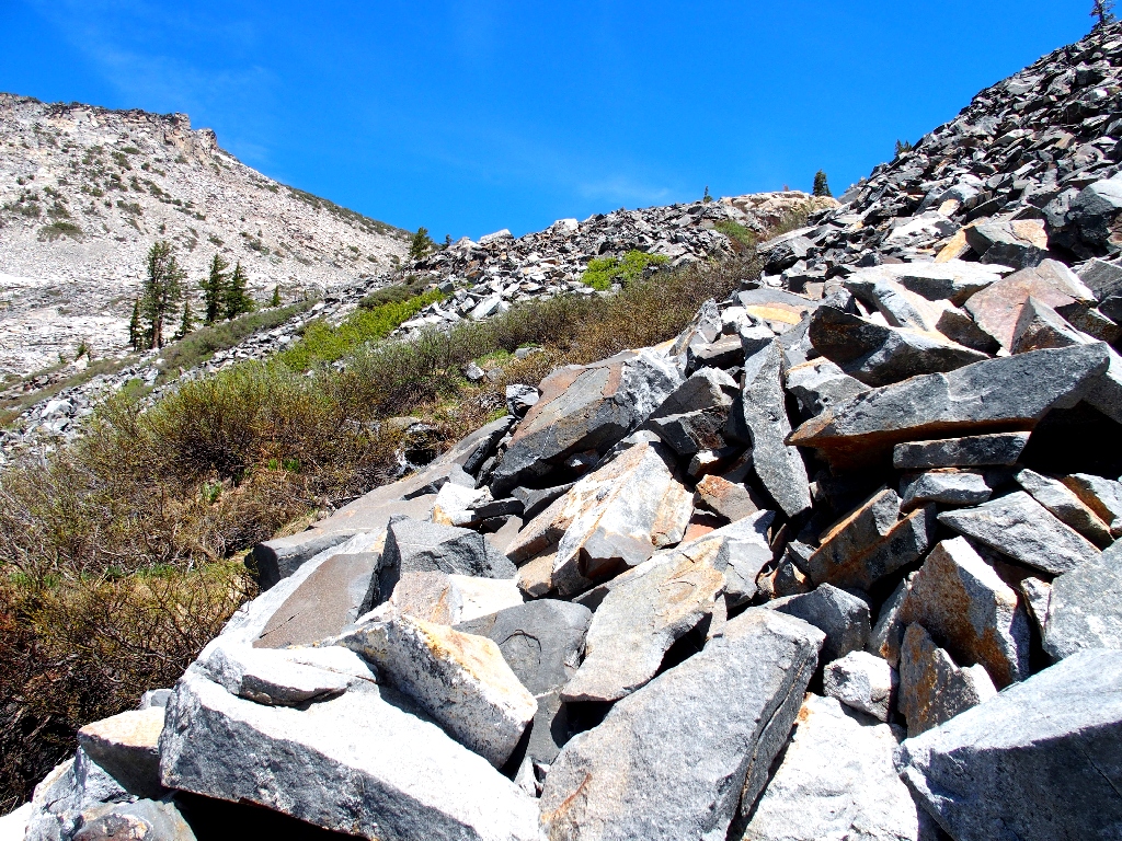
The three-mile access route is quite rocky, but my Outback has no trouble with
it. From the car, I must simply head eastward over to the little-used
Bloodsucker Lake trail; there even is a vague pathway through the manzanita to
help me out. Now I must descend a couple hundred feet to the canyon bottom.
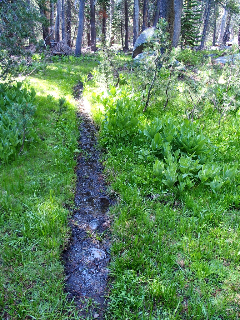
A little mud is no obstacle
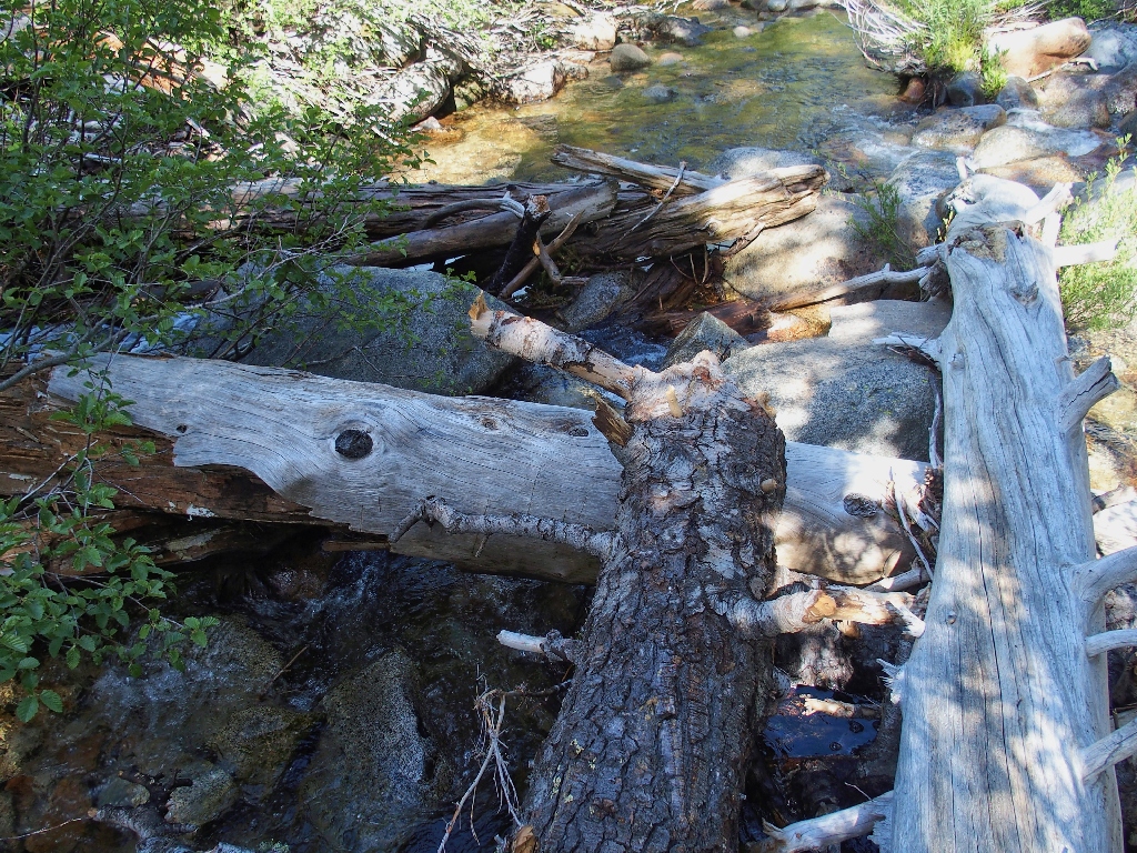
At Lyons Creek it's a different story:
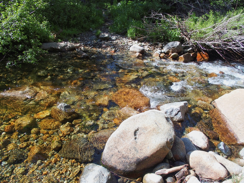
Oops! No dry crossing available here
Of course I could remove my boots and wade across, but there might be another
way. After a ten-minute scramble, I do find a collection of fallen logs
that enables me to cross without getting wet.
No good
This will have to do
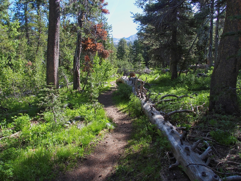
On the real trail
Five-Spots
After nearly two miles of walking with the creek far enough away that one cannot always even hear it, the wilderness boundary appears.
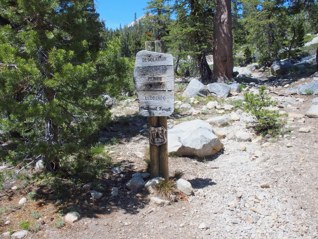
Oops! I forgot to pick up a permit; I'll be sure to do that later
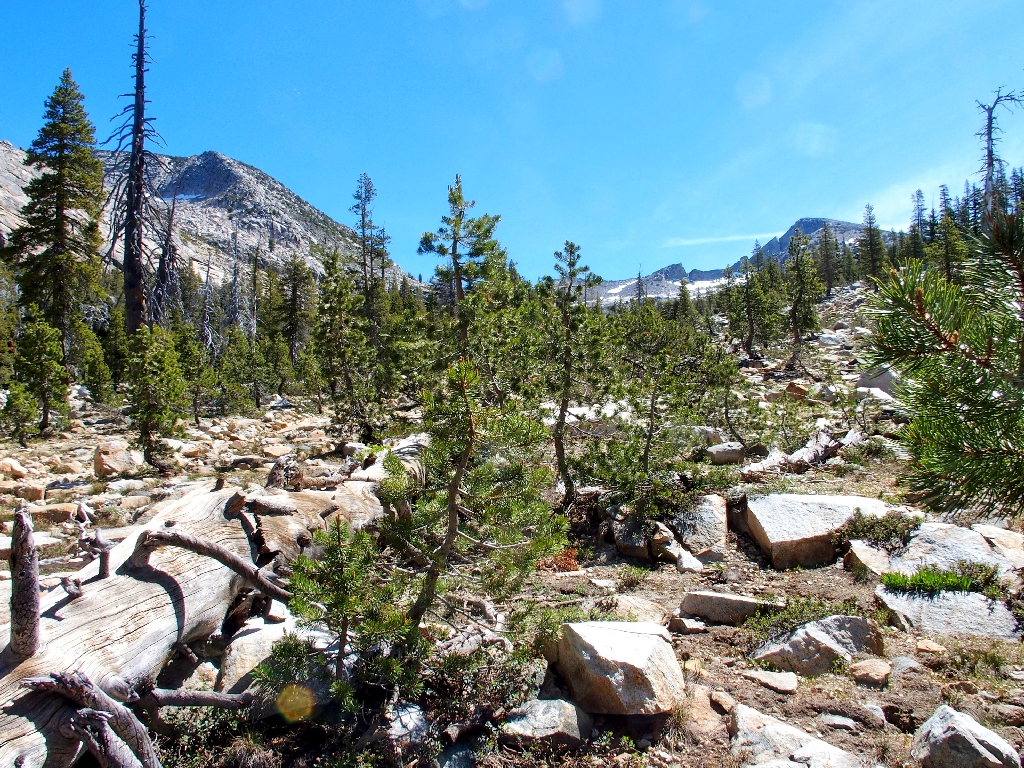
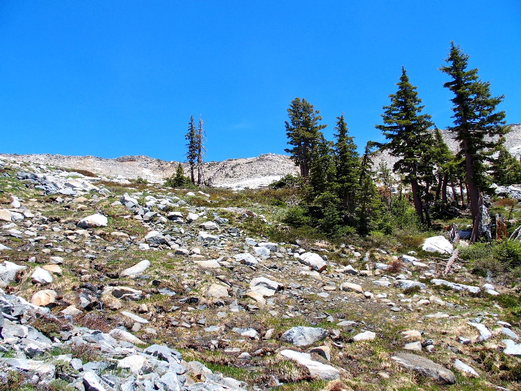
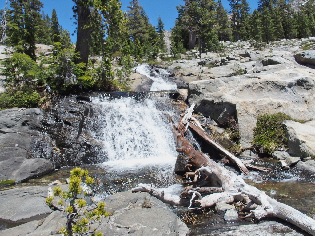
Finally, some scenery
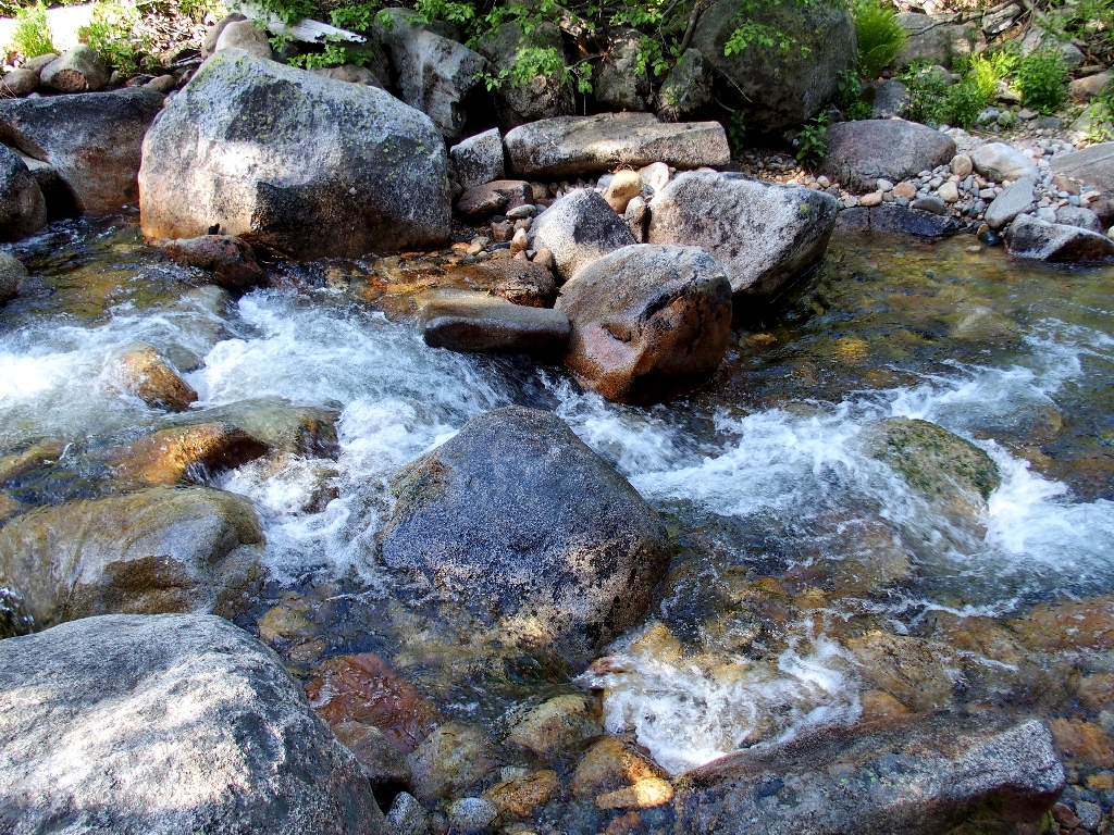
At another creek crossing I must scramble across two logs and a big boulder.
Difficult, but doable
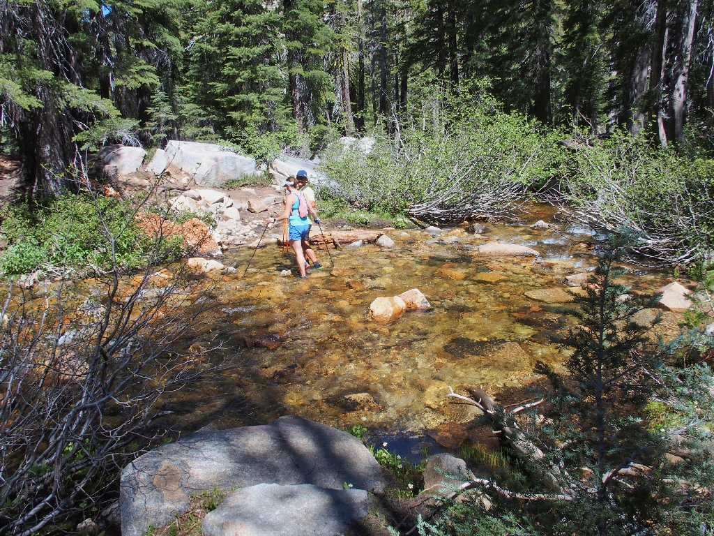
They don't care if their shoes get wet
After bypassing the trail junction up to Lyons Lake, I am treated to three or four snow drifts on the route.
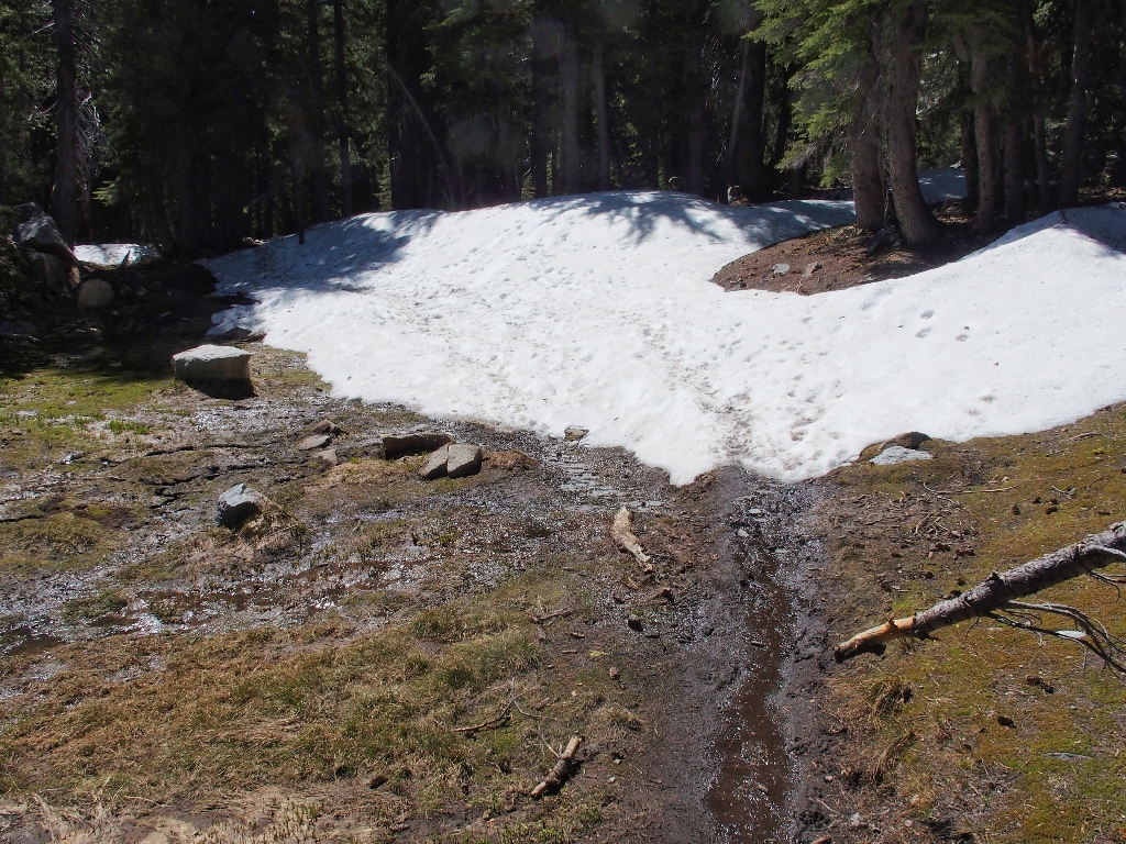
Always fun
Presently my interim destination appears, inhabited by the usual gang of mosquitoes.
Lake Sylvia
A family of campers is sitting on lawn chairs, watching the action on the nearby scree slope.
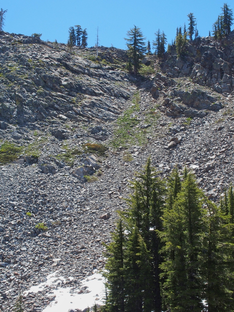
Five hikers are trying for the summit of Pyramid Peak
The going seems quite slow over there, which is not surprising considering the steepness of the slope. Having read about that approach previously, I now am quite glad I that made my way up Pyramid Peak from the other side instead.
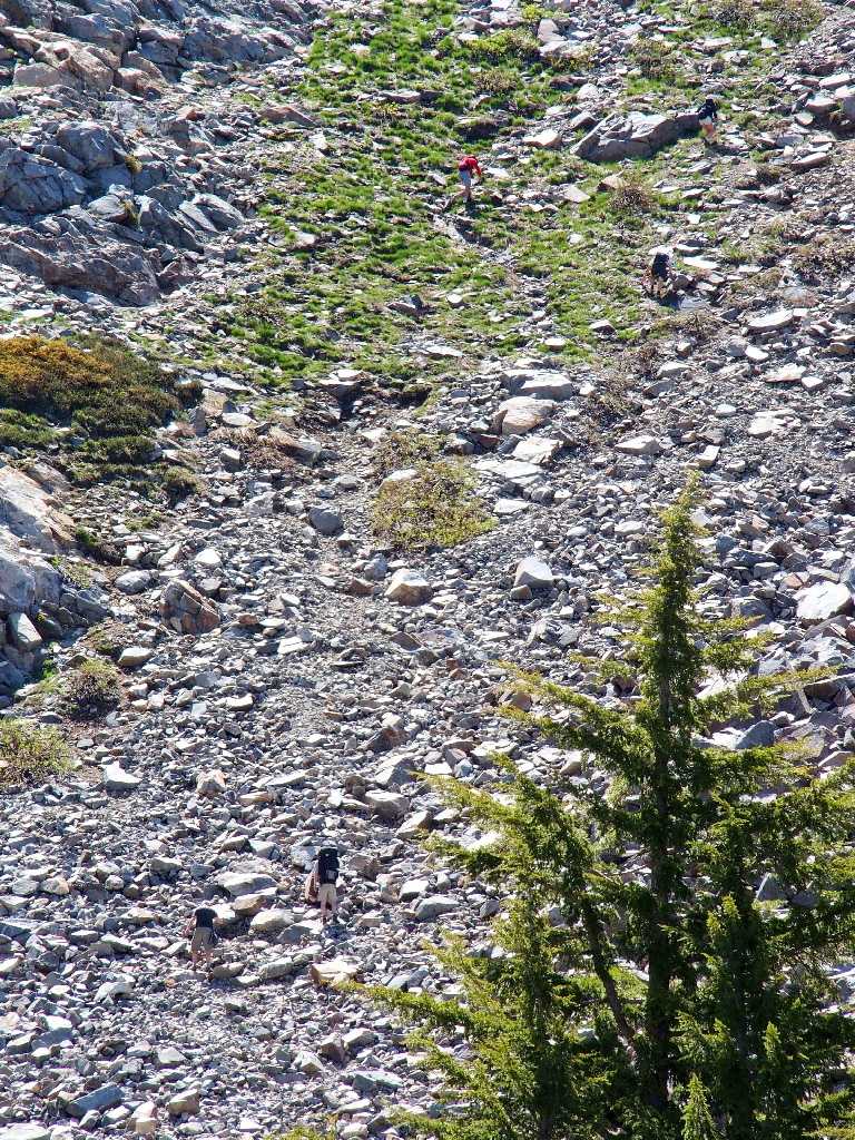
Three above, and two below
Now it is exploration-time, for no trail will assist me from here on.
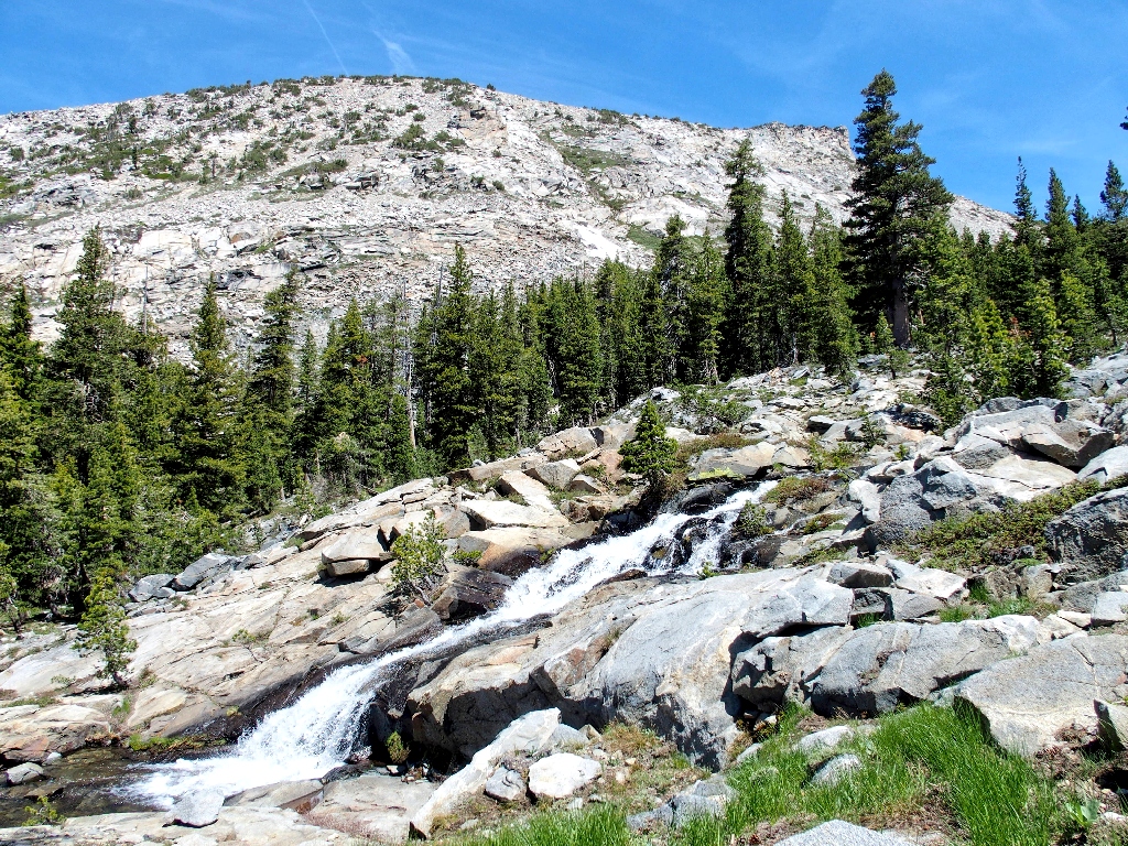
It is a 600-foot climb to the next destination.
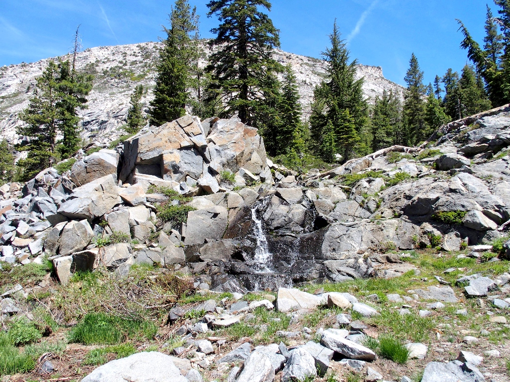
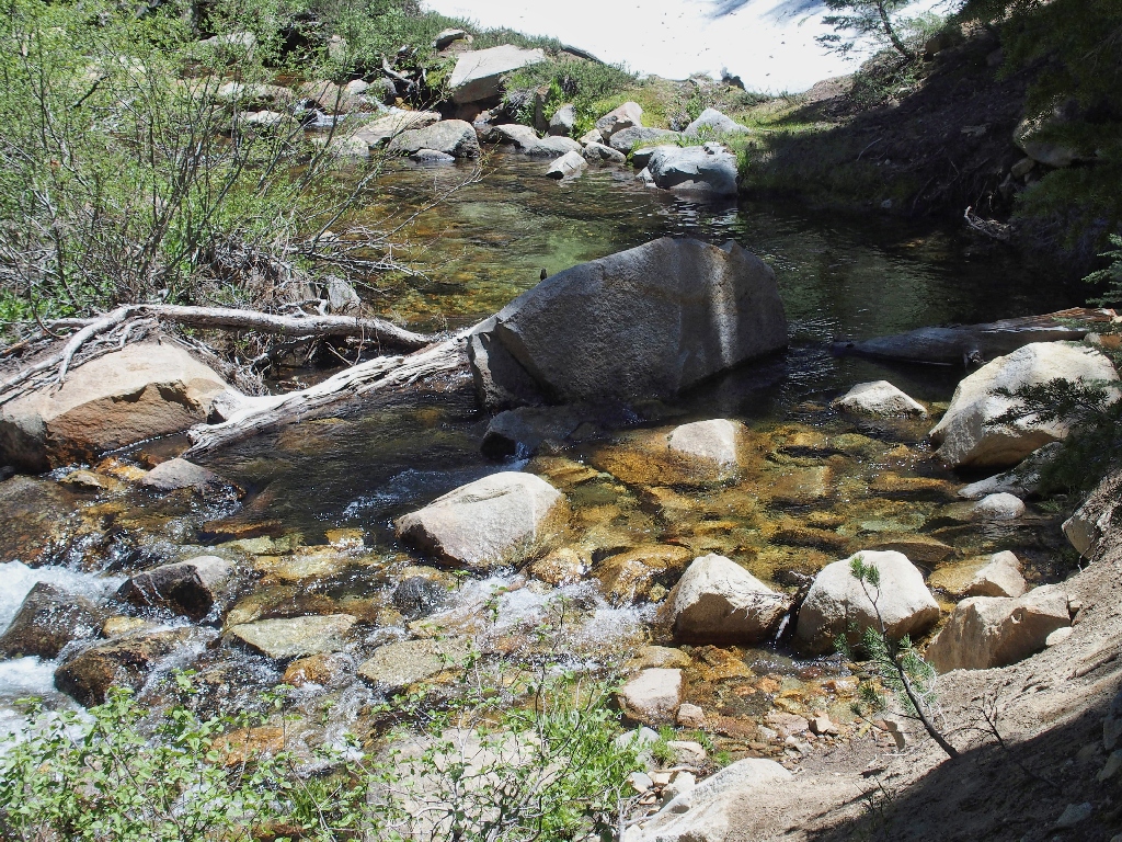
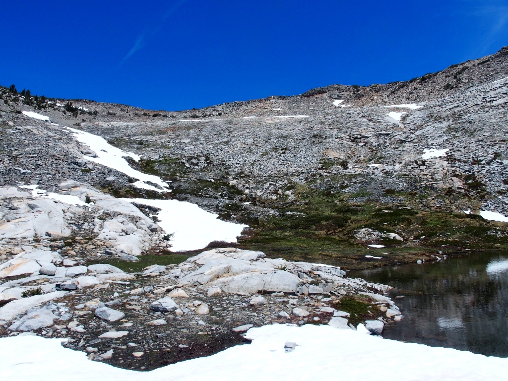
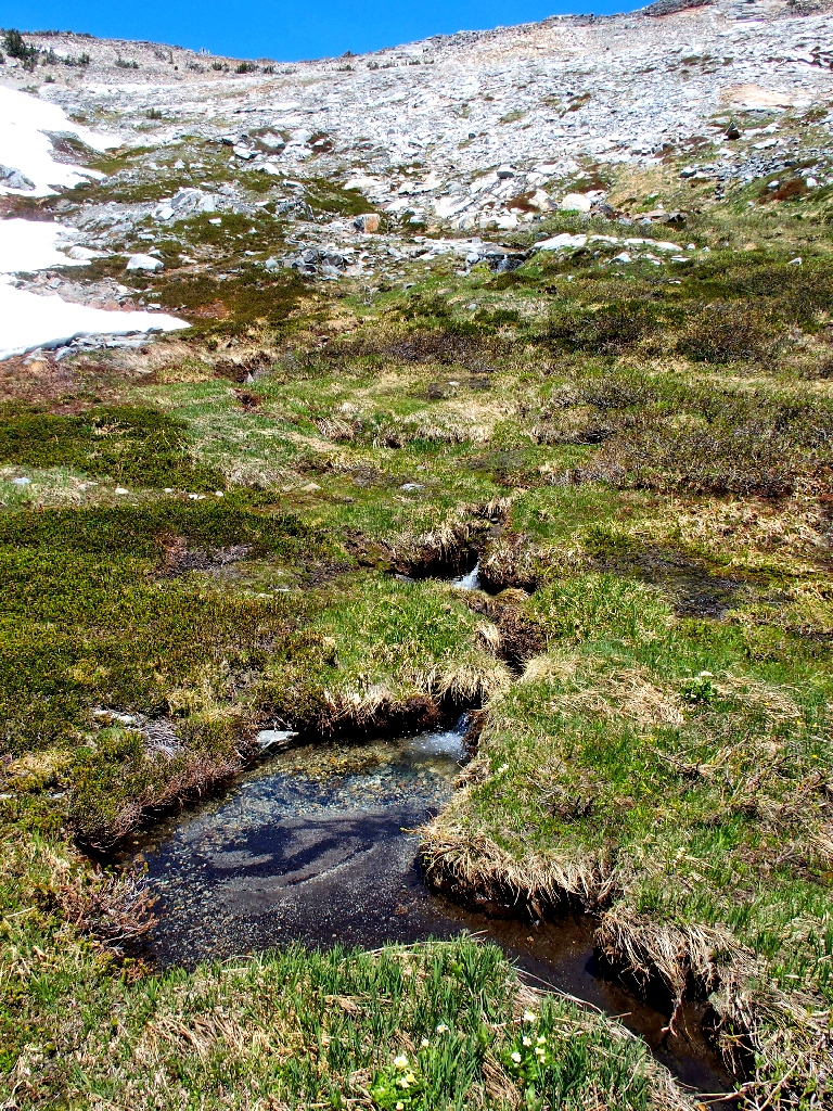
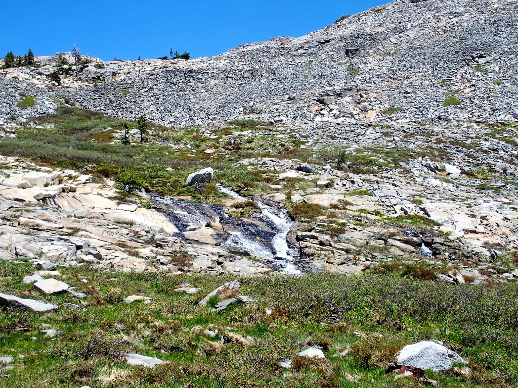
There are two streams feeding Lake Sylvia. One comes down from Lyons Lake west of here, so I'll call this one the East Fork.
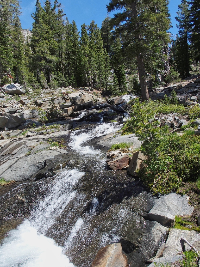
Plenty of water
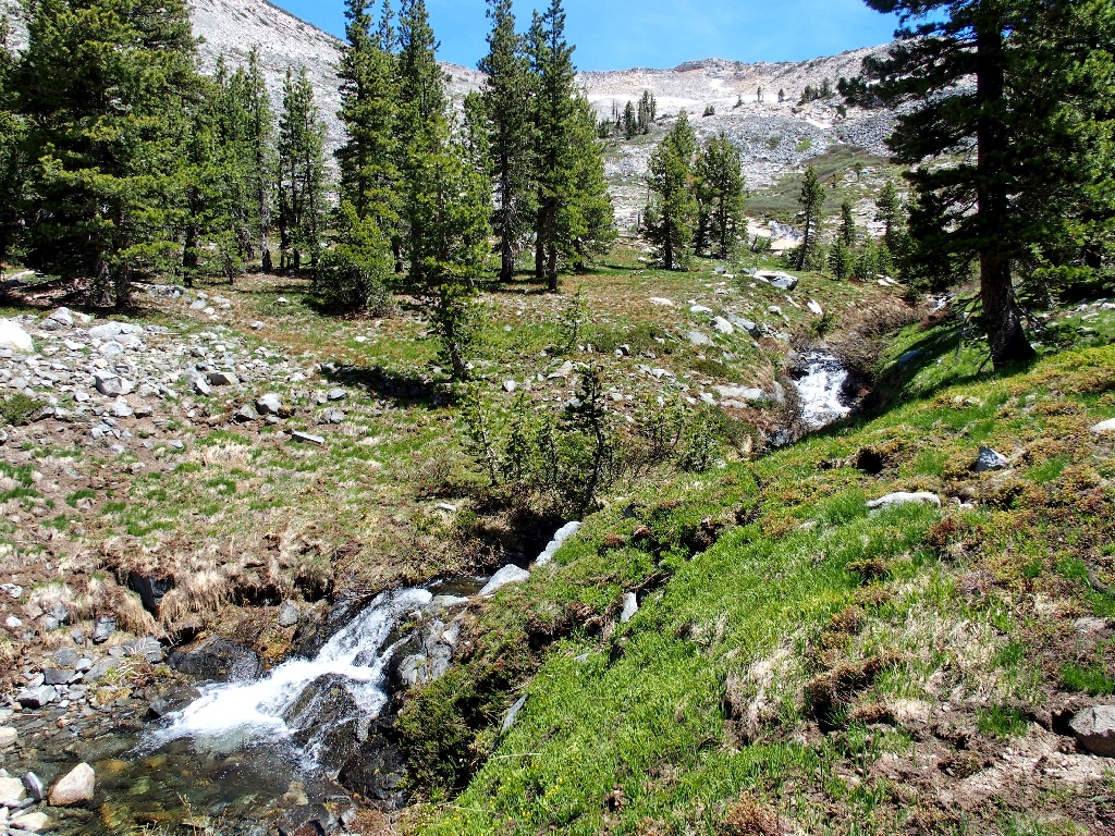
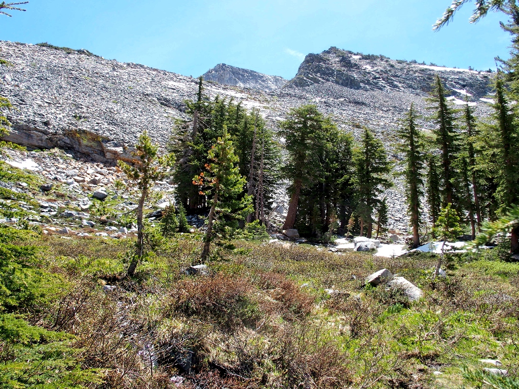
Entering Heidi-Land once again
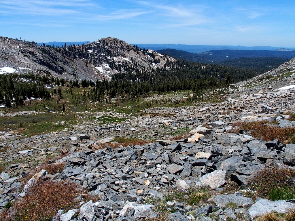
The route ahead
Pyramid Peak appears behind the ridge
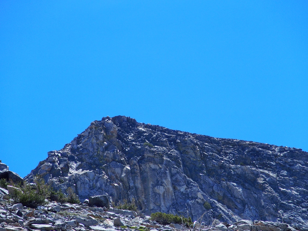
Nobody on the summit at this time
This is as far up as I ventured on my prior visit.
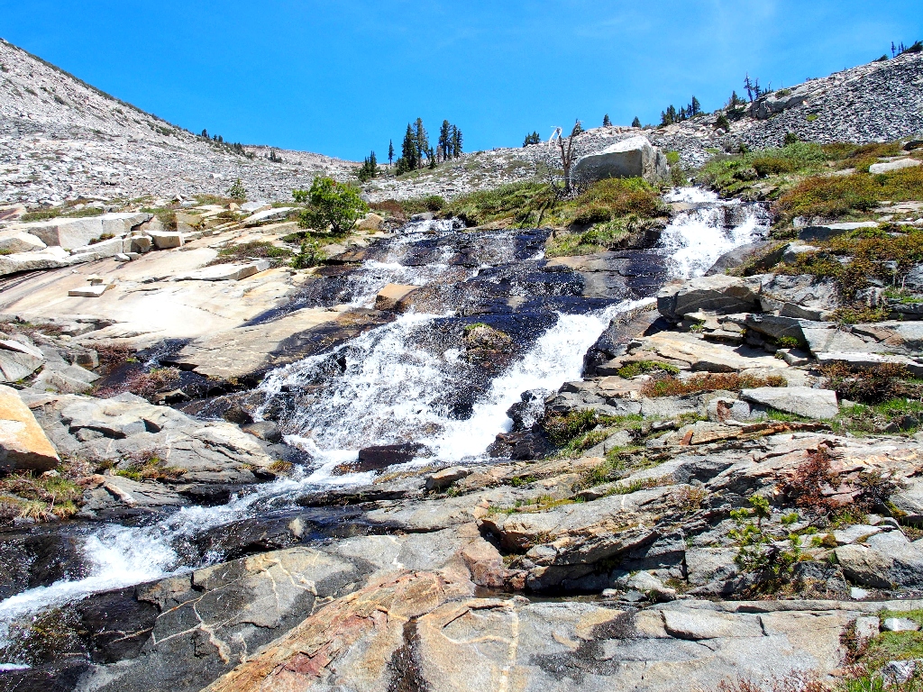
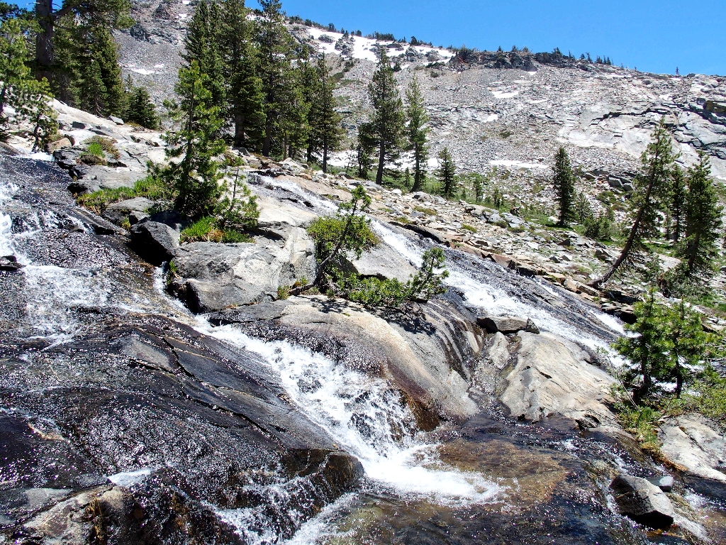
The East Fork is so inviting
Instead of drooling so much over the landscape, however, I should have been
paying more attention to the route ahead. By remaining on the right-hand
side of the creek, I soon find myself in a field of sizable talus boulders.
Getting across the rushing stream and over to easier terrain is problematical because
of the unfriendly willow thicket hugging the waterway.
This was not part of the plan
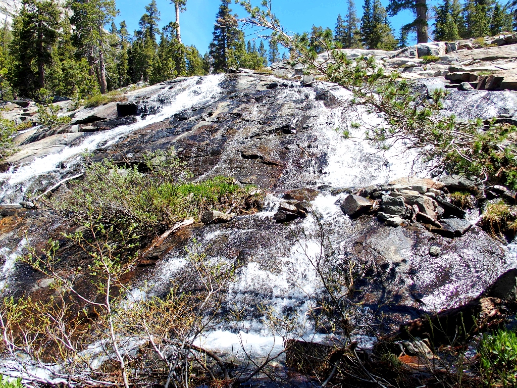
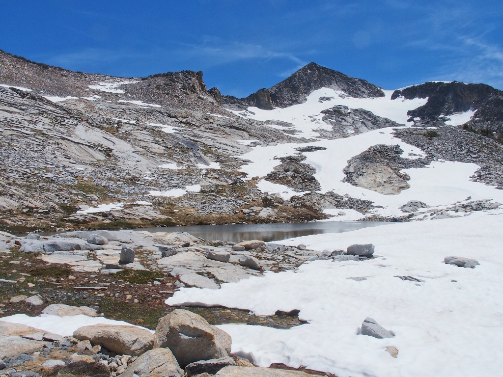
It is not in my nature to retreat and start over, though, so I keep on climbing. Eventually, I do manage to cross the stream where the bushes aren't too thick. There are more boulders to clamber up, but it isn't so far now. Finally, I reach the lip of the cirque and encounter a giant snow drift in front of my objective.
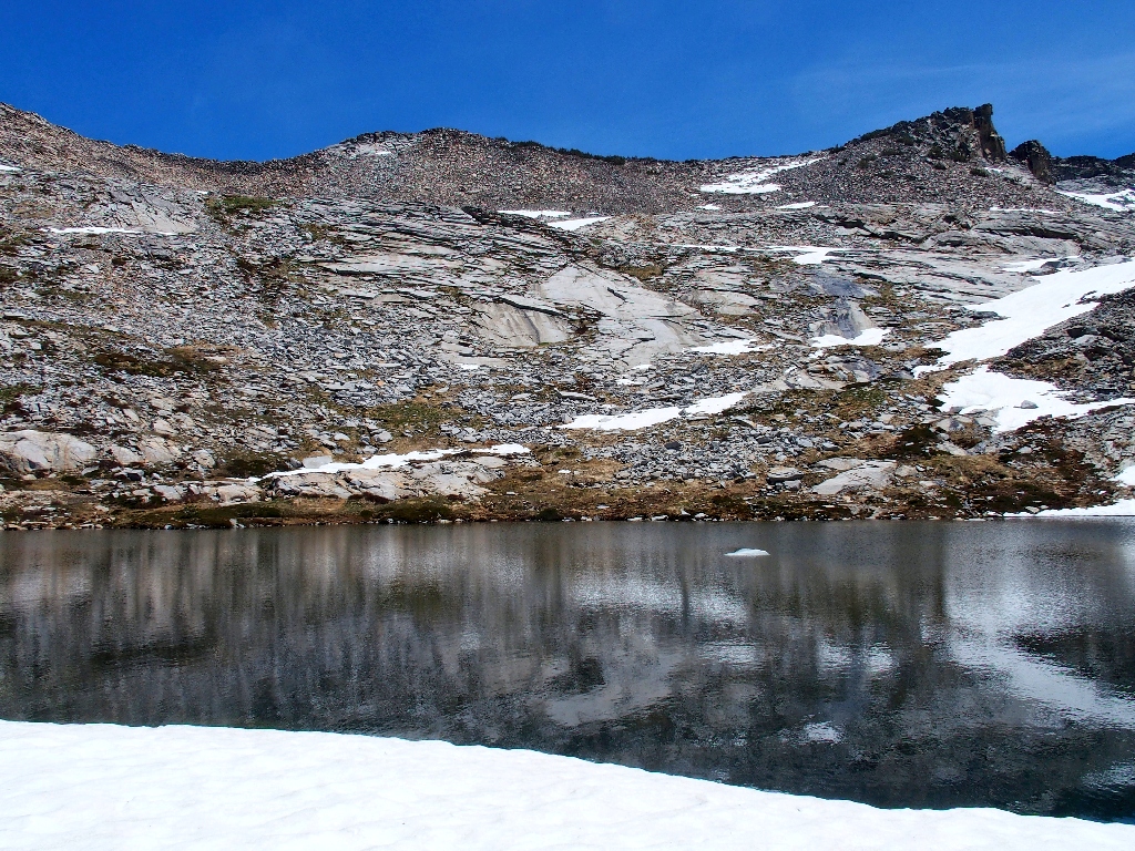
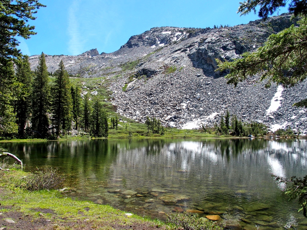
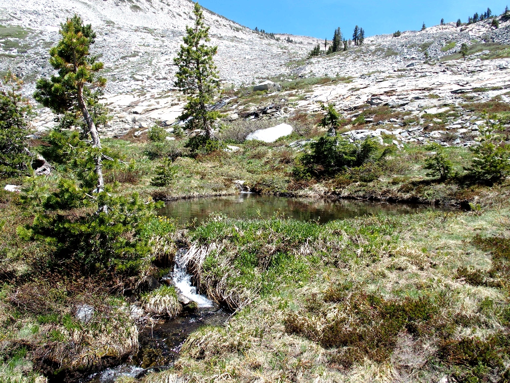
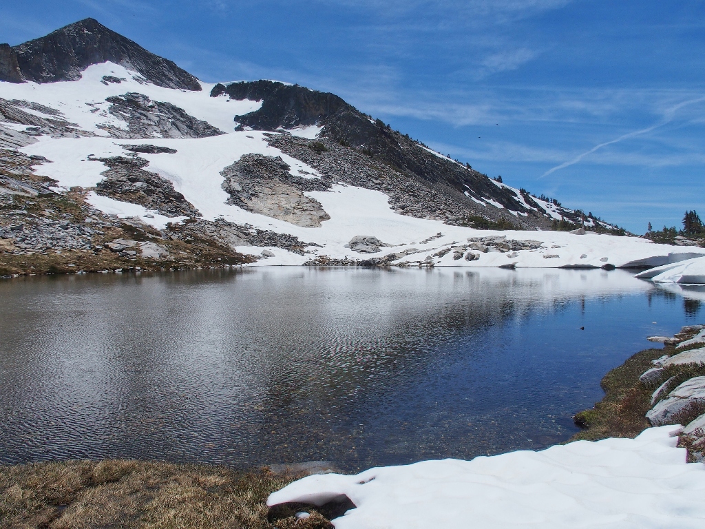
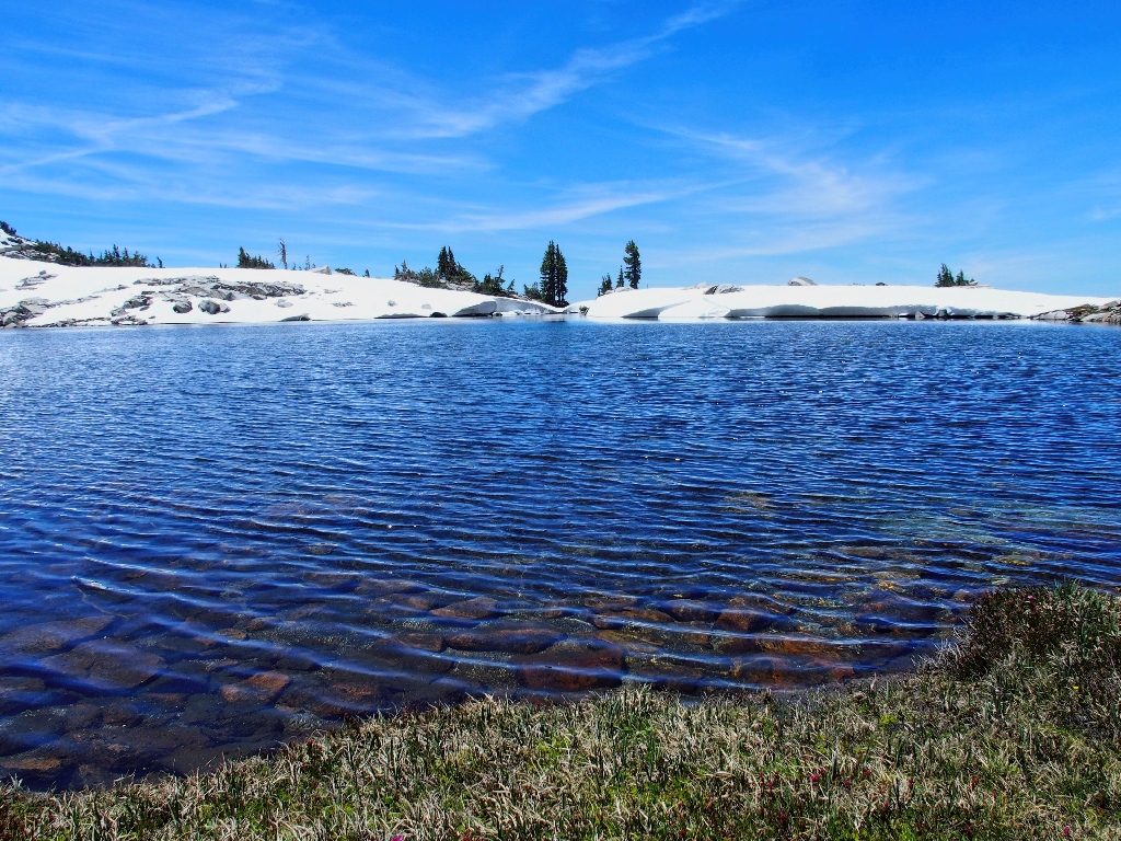
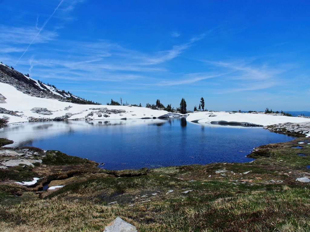
Noelle Lake appears
From the ridge-top to the east would be an awesome view of the heart of Desolation Valley, but that is not in the plan. A couple of decades ago, I might have done that.
It's another 800 feet up to the ridge top
Summer is not here yet
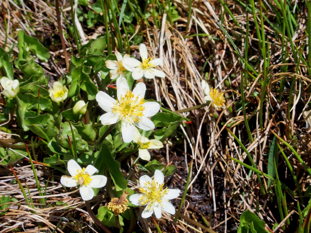
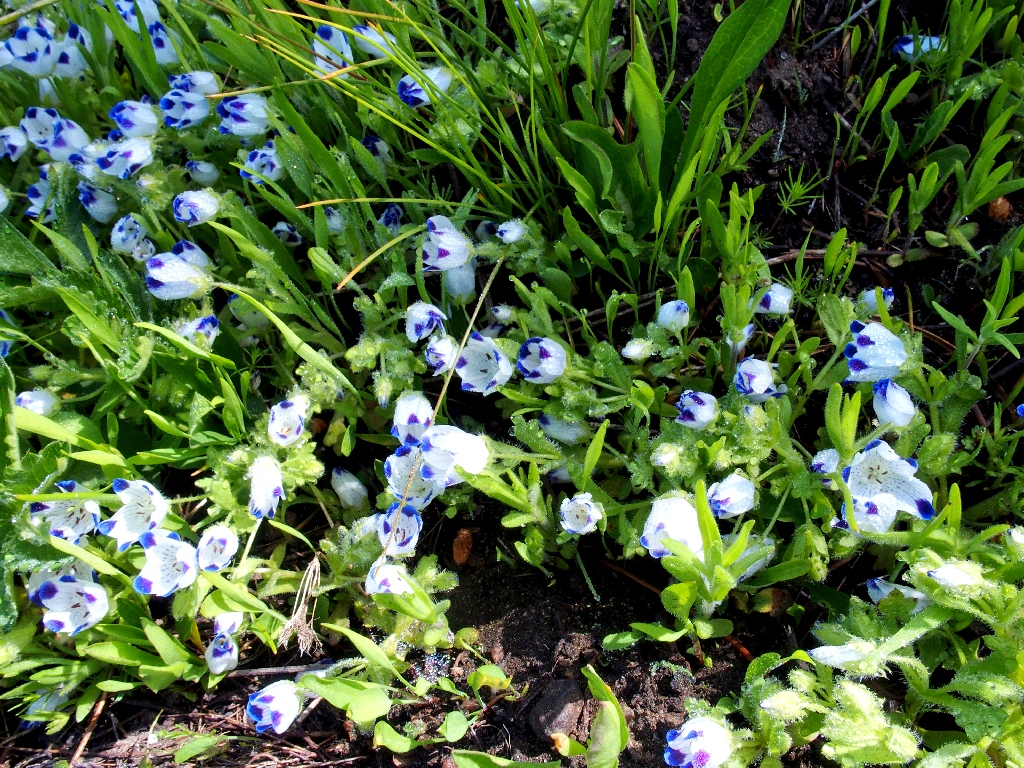
White Meadowfoam
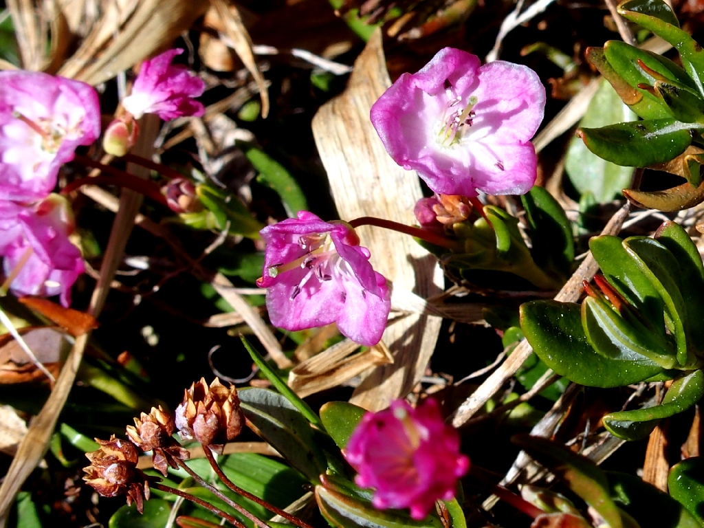
Mountain Laurel
By circling around to the far side of the lake, I can recline on some grass instead of on a snow bank.

This is why I go hiking
What a delight it is to be here right now. This place has been on my bucket list for thirteen years.
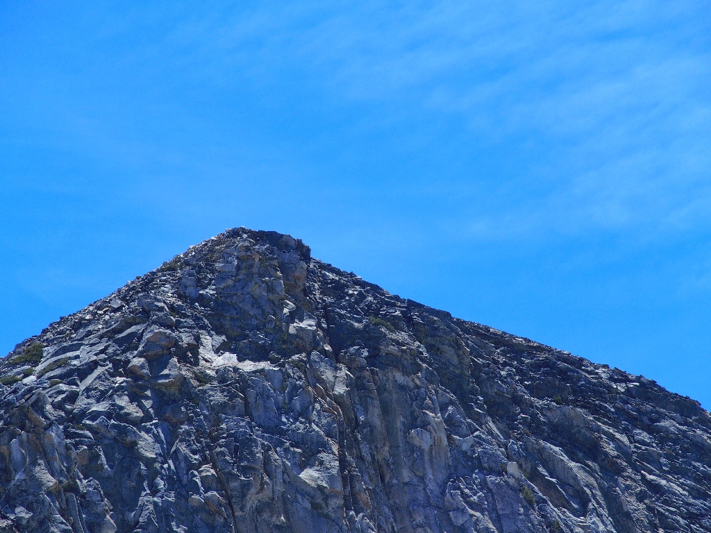
Still nobody on the summit
Although this lake is unnamed on maps, the name "Noelle" is well-referenced
in publications
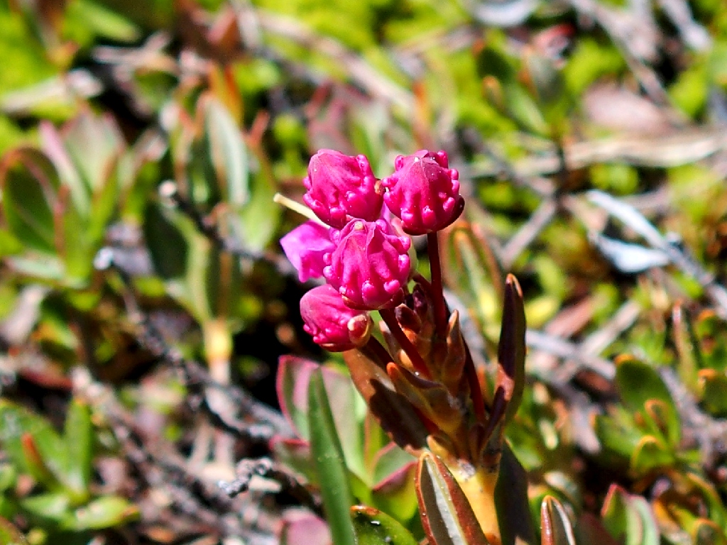
Bog Laurel to be
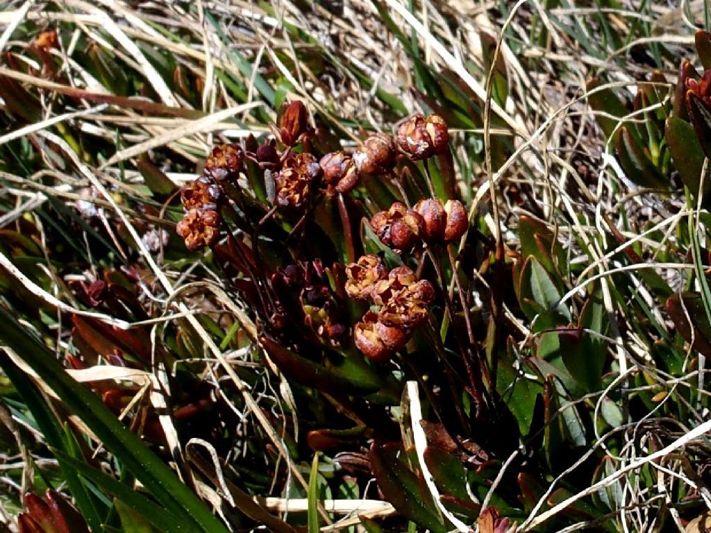
Bog Laurel that was
After munching an orange and some nuts and seeds, I climb a ways up the hillside and away from the water so as to be able to get the entire lake into the camera's field of view.
Life is good
Hello! What's that I see up to the left?
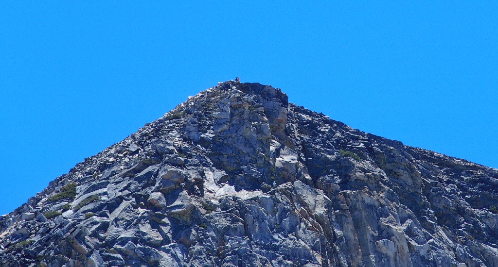
Two hikers atop Pyramid Peak, 9984'
Heidi, where are you?
Mozelle Lake lies out of sight another 250 feet up
Having tramped fully five miles already, I decide to pass on a visit to the
higher tarn. It looks as if it might still be ice-covered anyway.
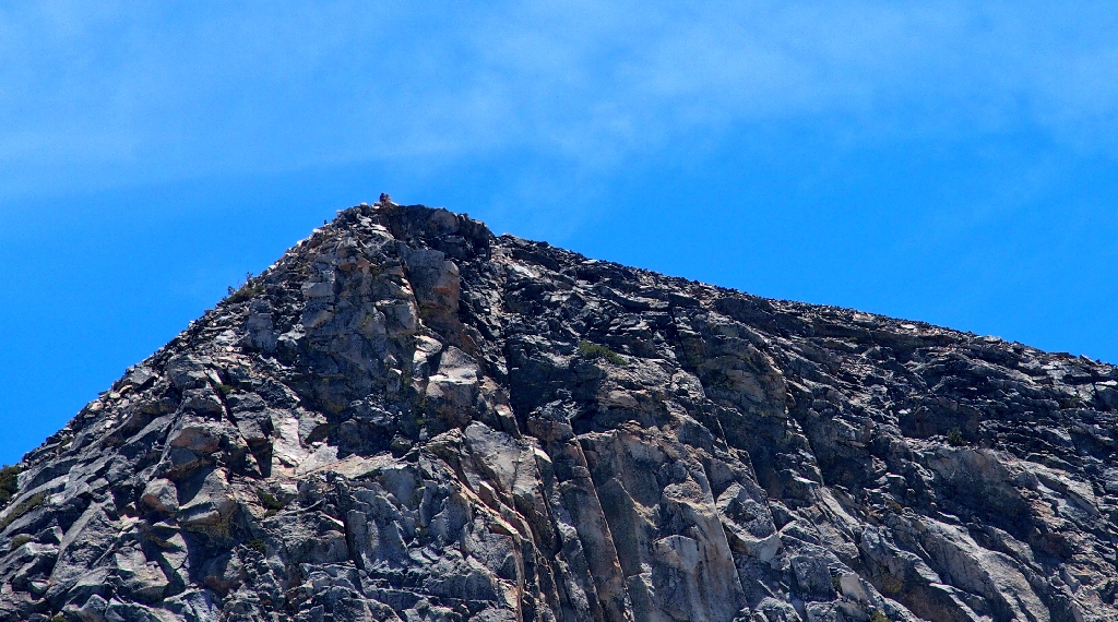
Now I can see a third hiker to the left of the others
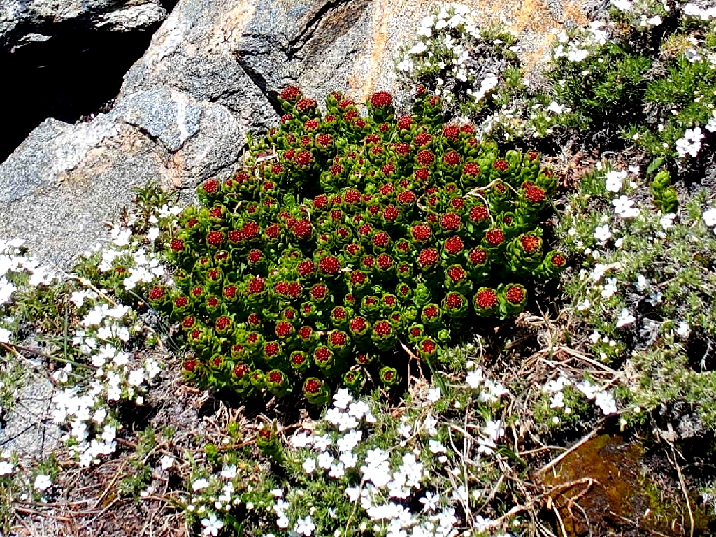
Ledge Stonecrop
Last look back
The task ahead
By cherry-picking routes, I manage to keep boulder-hopping to a minimum.
Back in Heidi's meadow
From here I take the path of least resistance westward, bypassing Lake Sylvia altogether in the process. I rejoin the trail just below the grouping of snow banks, near the unfriendly creek crossing.
Getting over that boulder is even more difficult in this direction, but now it is
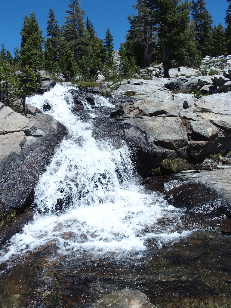
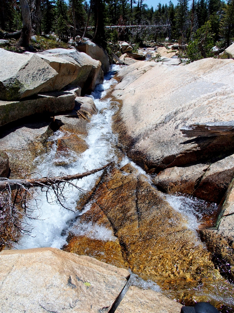
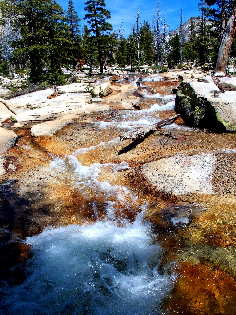
time to enjoy Lyons Creek itself. I love the way that the granite turns
cinnamon-colored when wet, a common occurrence in the high Sierra.
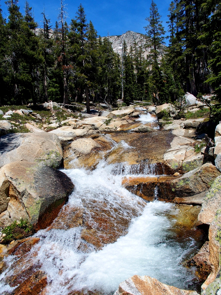
Upstream
Downstream
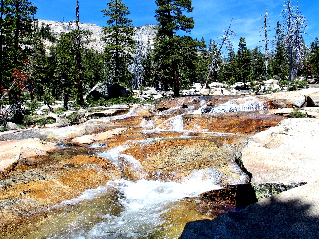
Beautiful
The party is pretty much over now, for it still is nearly two miles to the Bloodsucker Lake junction and there is little to see or do along the way.
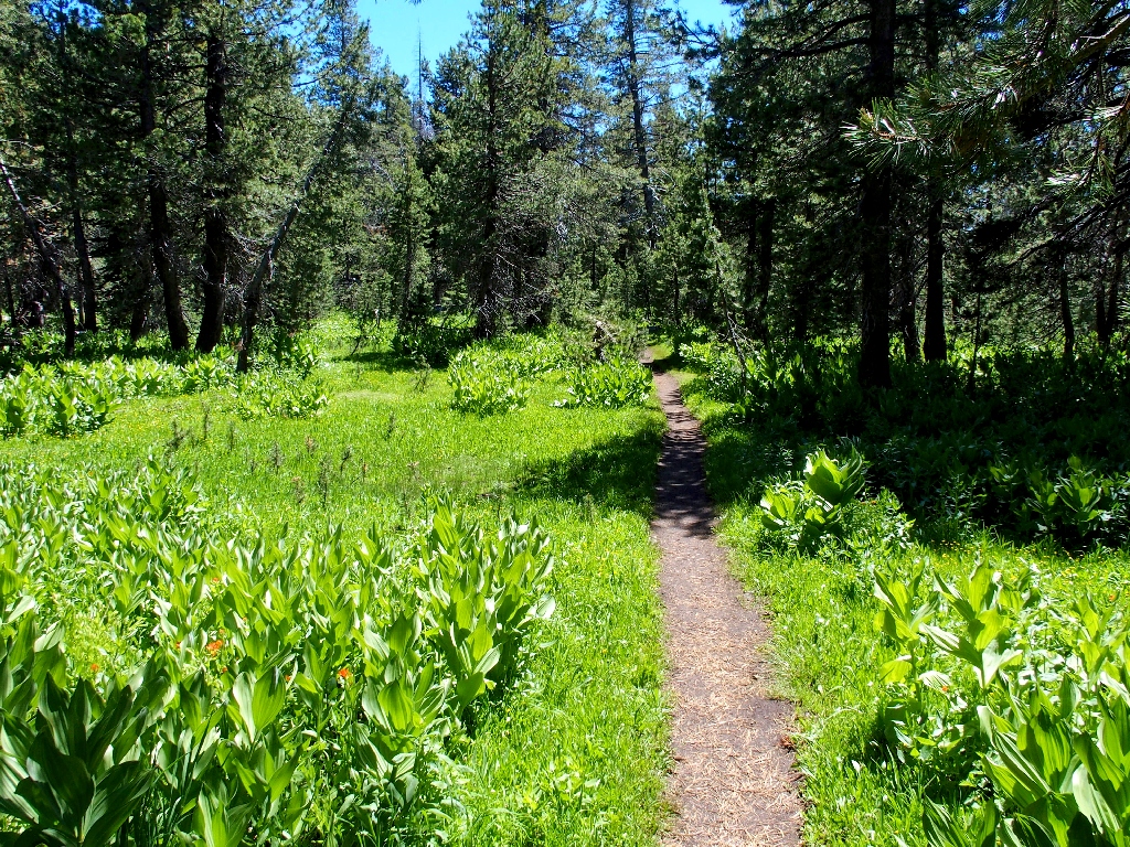
The trail is green but unexciting
Disinclined to try to locate my earlier water-crossing log pile, I opt to bite
the bullet and wade the creek at the normal spot, boots and all. It's only half a
mile to the car now — or is it?
The 300-foot climb up the Bloodsucker Lake Trail takes its toll. Not only am I
pretty weary now, but once again I have allowed myself to run out of water and it is
becoming uncomfortably warm as well. Then, to compound my folly, at the unmarked
turnoff I lose track of the social trail and end up bushwhacking through the hot forest
for an extra quarter-mile before finally relocating the car. Oh well,
at least I do find it before running completely out of steam.
§: Well, that was more adventure than was anticipated. Yes, my
wonderful alternative trailhead did save more than two miles of walking; but some
extra climbing was involved. I will repeat that procedure, however, should
I return.
Any backpackers who stop at Lake Sylvia miss out on the area's most exciting attractions. The upstream water wonderland is not to be missed, so do venture up at least as far as 'Heidi's Meadow'. Alternatively, heading up to the spectacular Lyons Lake is its own reward.
| Scenery |  |
| Difficulty | |
| Personality | |
| Adventure |  |
| Flowers |  |

Here's a look down on Noelle Lake from the summit of Pyramid Peak; the little tarn on the right is unnamed:
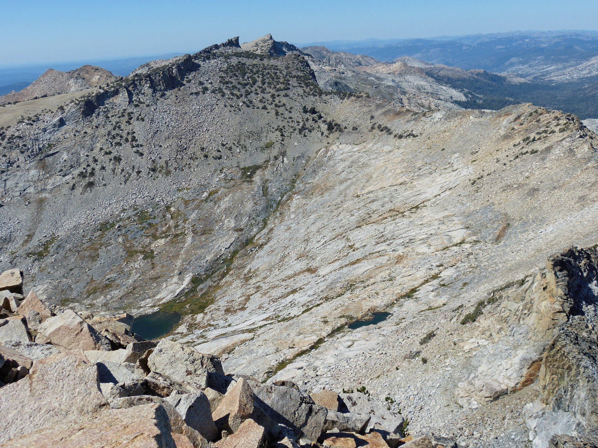
From Hike #186, September 2012
 |
September 2021: Both the trail and the back-road shortcut have burned all the way up to Lake Sylvia. |
