
Lake Mead NRA, Arizona
|
Liberty Bell Arch Lake Mead NRA, Arizona |
March 14, 2019
Having driven south to knock off a few more bucket-list items, there are
two options just a few short miles south of Hoover Dam, which separates Nevada from
Arizona. Actually the dam no longer is crossed and isn't even visible from
the main road now, because they built a couple of new bridges to relieve the traffic
congestion at the deservedly popular tourist attraction.
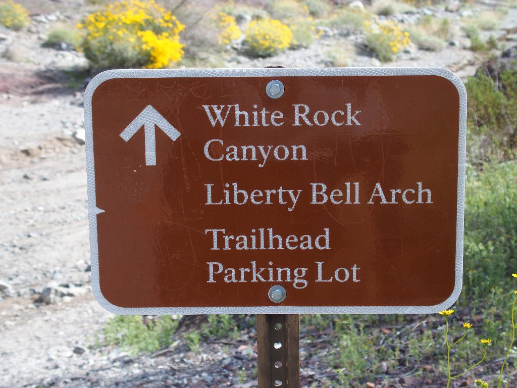
Surprised to see that the trailhead parking lot already is full, I manage to grab one of the last remaining overflow spots. It appears that I will have plenty of company today.
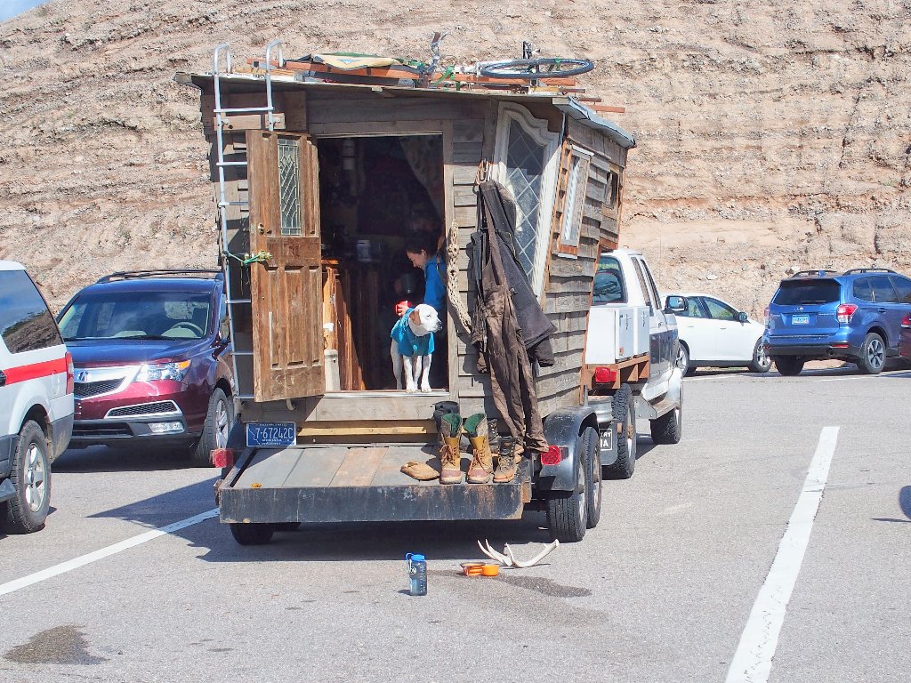
Homemade accommodations
Down by the Colorado River is a unique hot spring that literally drops out of a
cliff, and a 20-foot ladder must be scaled in order to access the upper trail
from the direction of the river; however, I overhear a ranger informing others that
someone tore down the ladder (see Addendum), leaving the main attraction
inaccessible. That settles the issue of which hike I will do today.
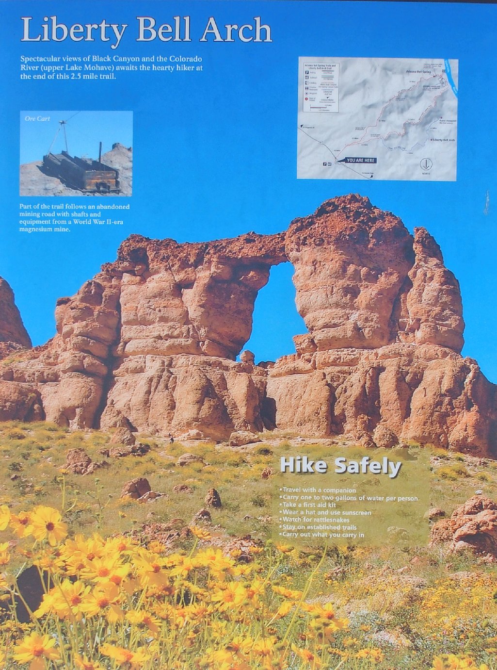
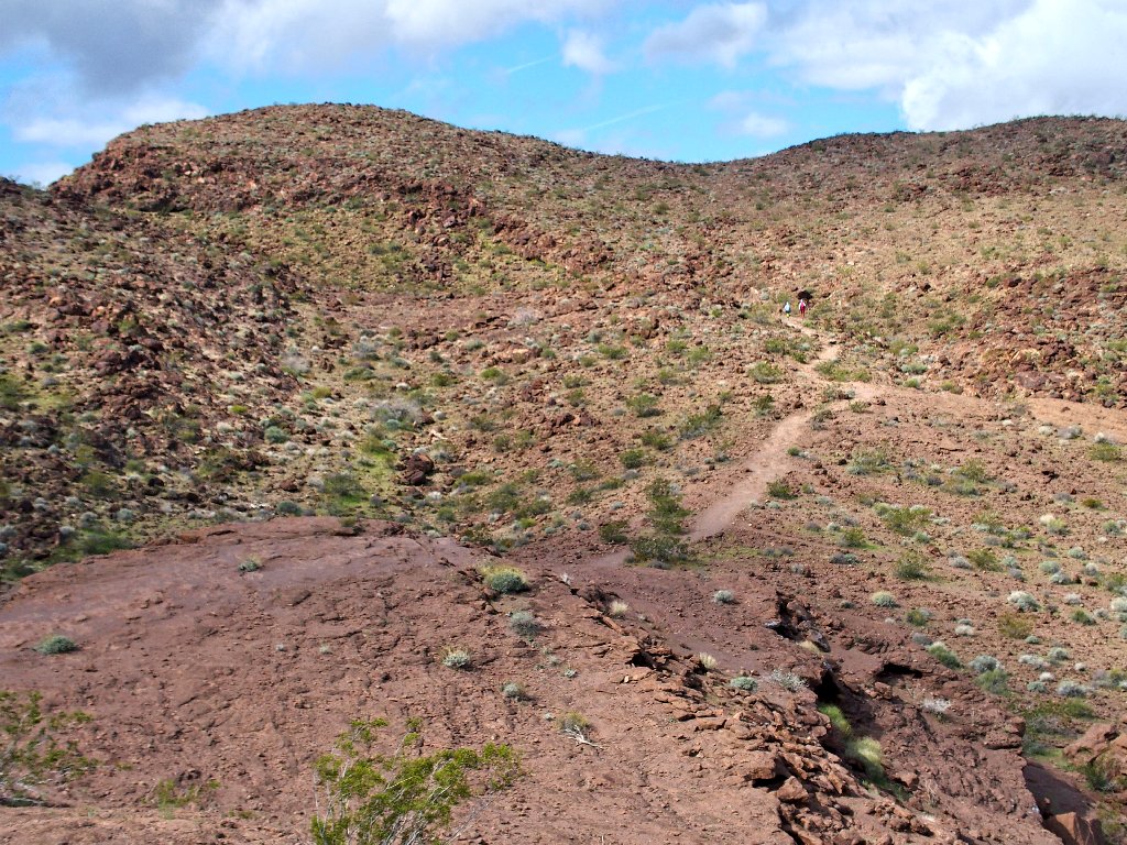
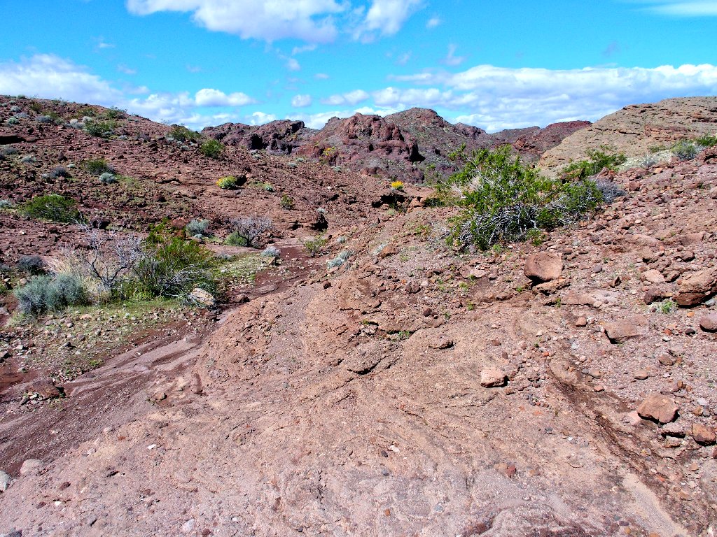
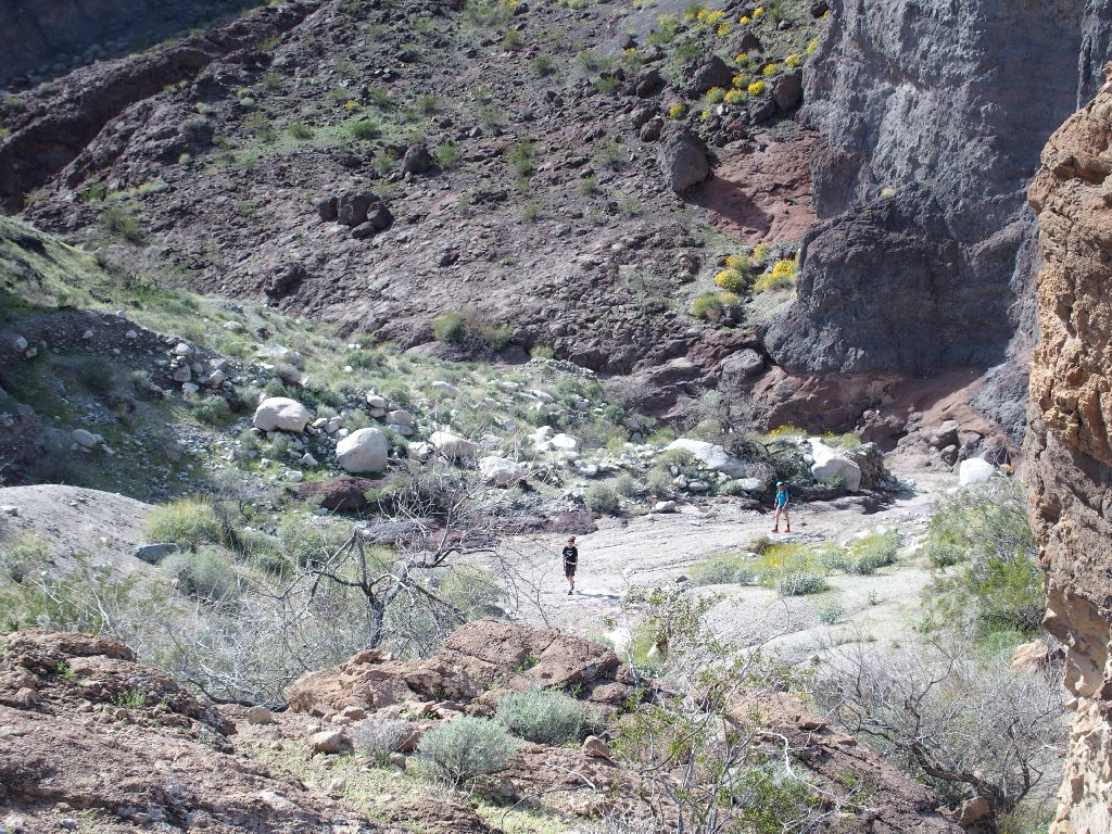
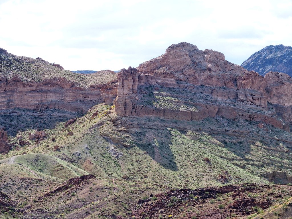
The destination ⇔
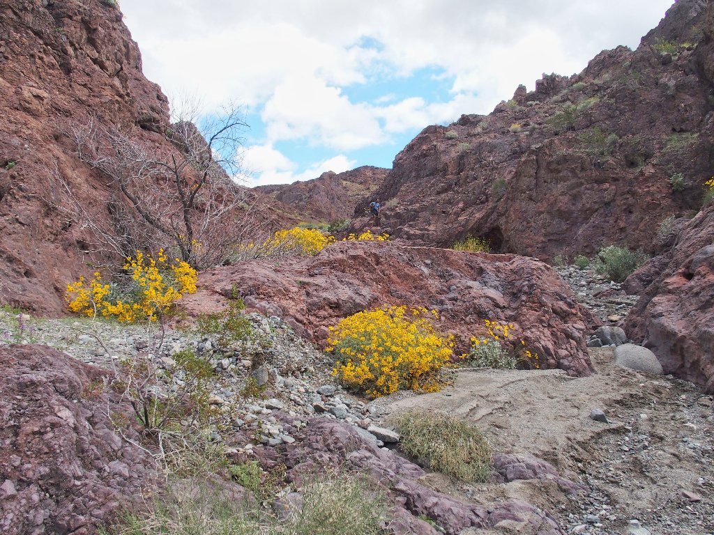
This area becomes so hot in mid-summer that the feds actually close it down for safety reasons. Today, however, there is a stiff breeze; so I bundle up with a sweatshirt, windbreaker and gloves.
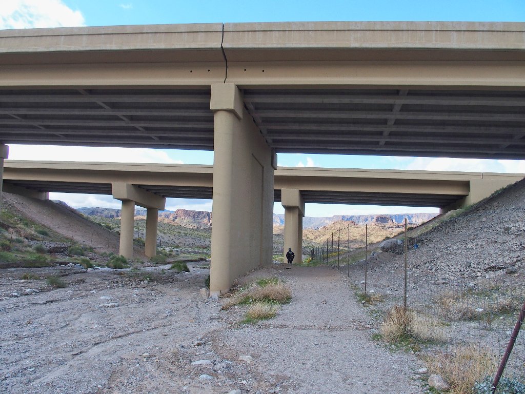
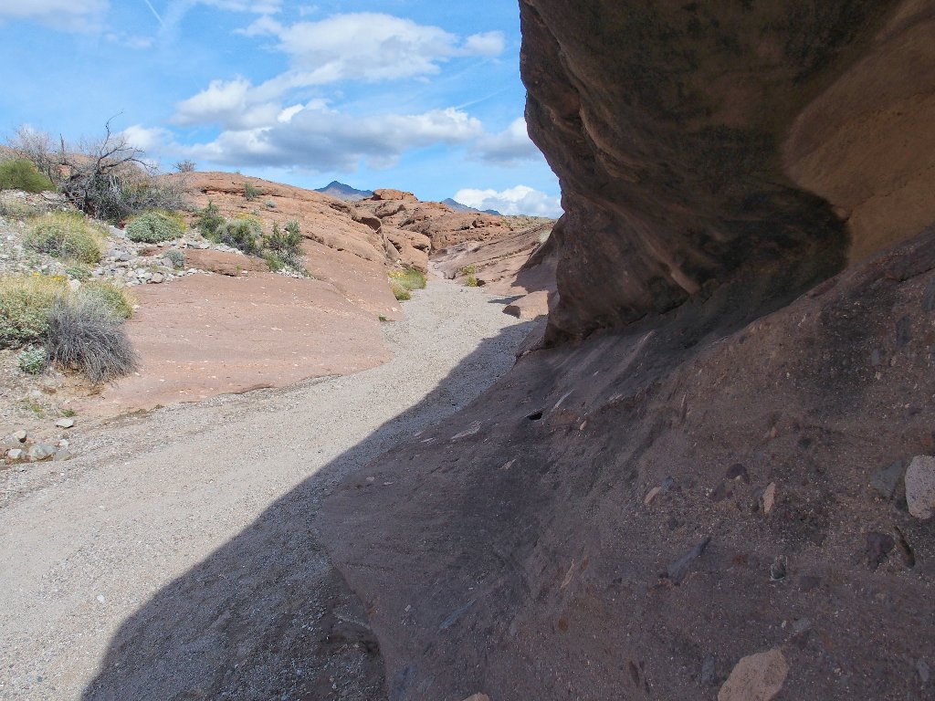
The route begins underneath the freeway
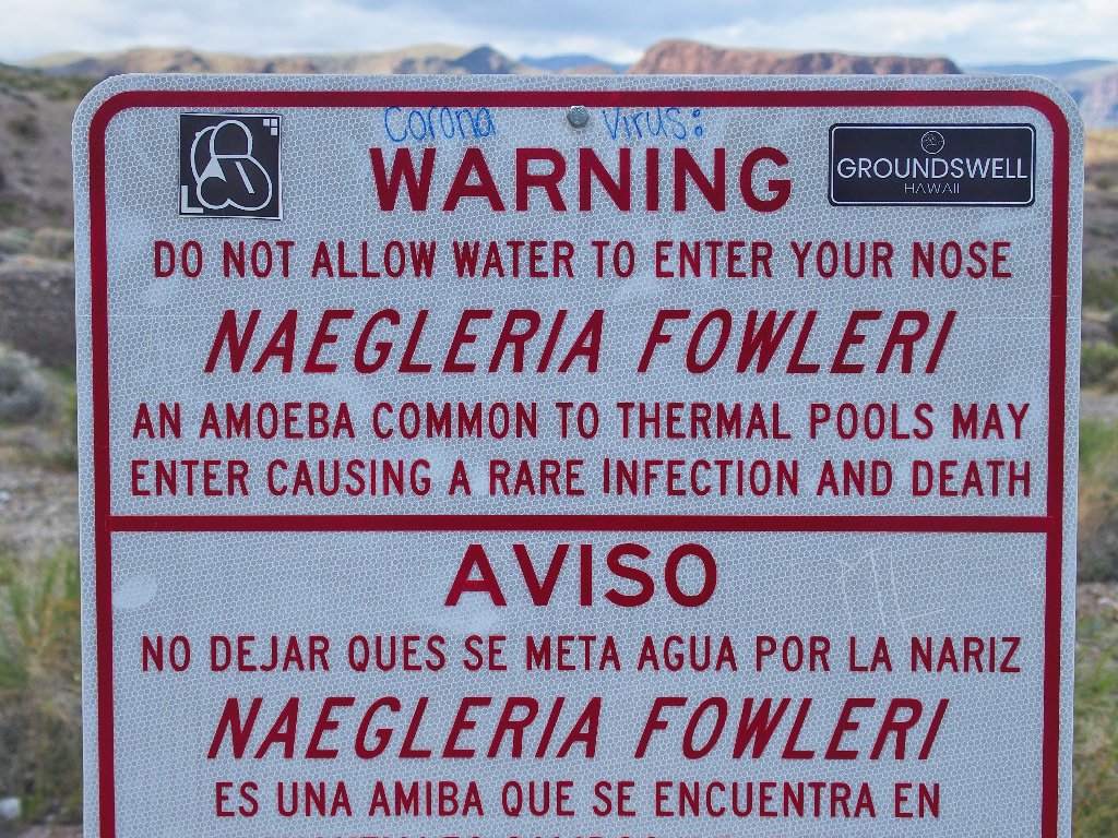
Advertisement and admonishment — not your everyday trail fare
The route ahead is wherever you make it
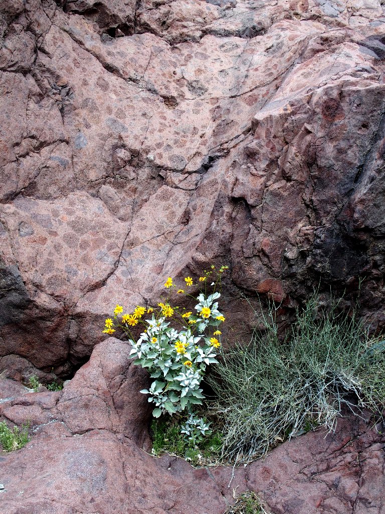
I had been hoping to see some desert flowers today, and they don't keep me waiting long.
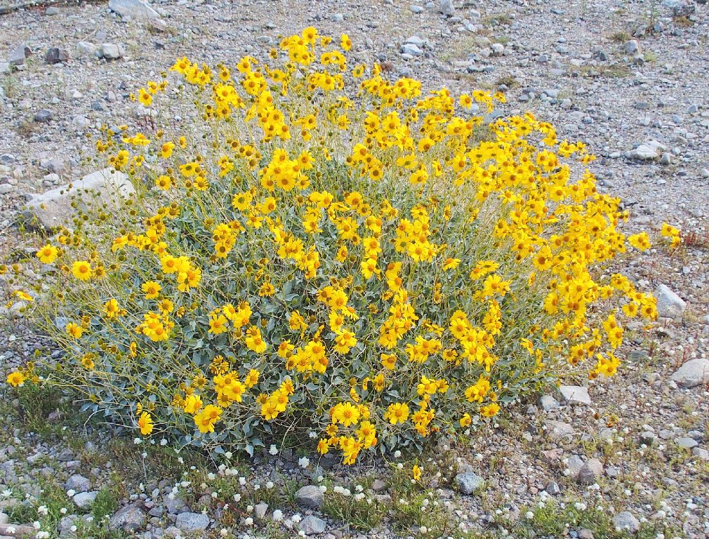
Brittlebrush
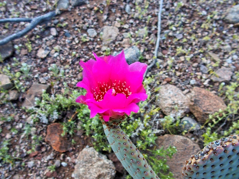
Beavertail Cactus
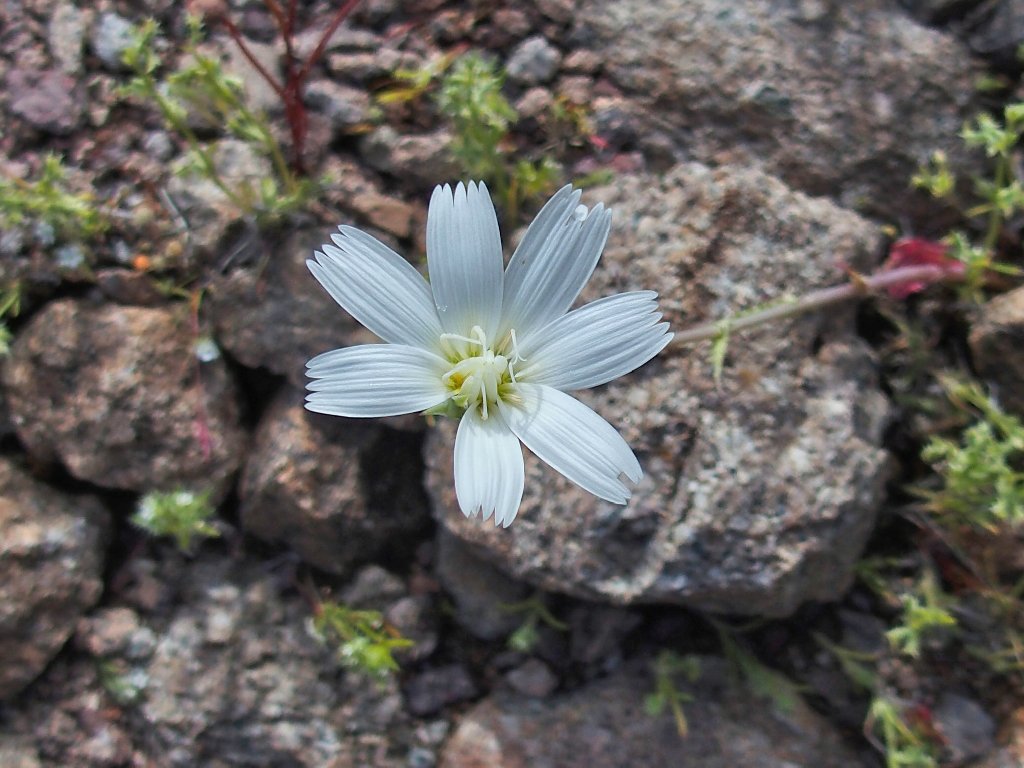
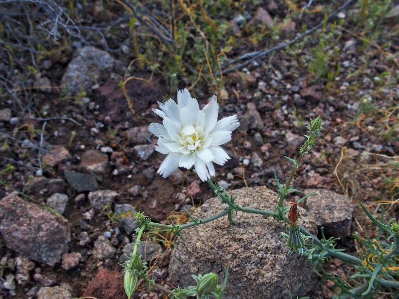
Two samples of Desert Chicory
It's time to climb
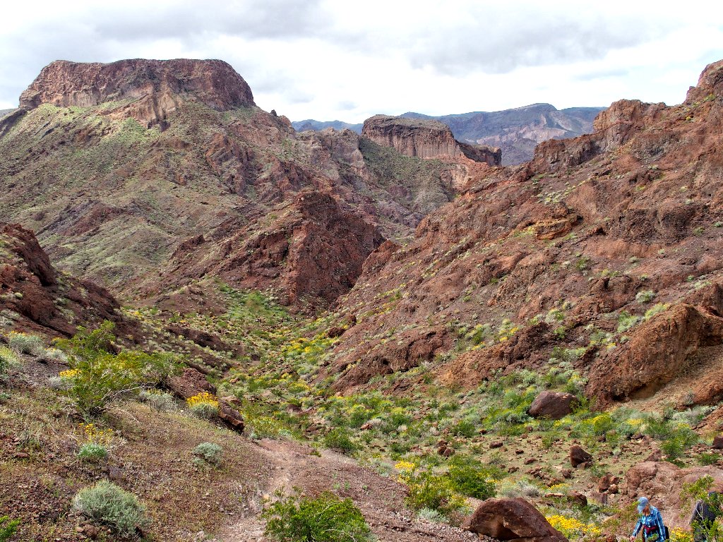
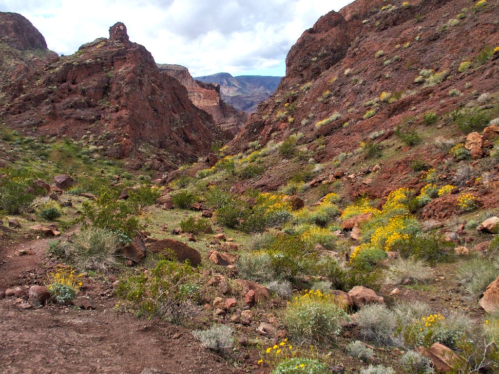
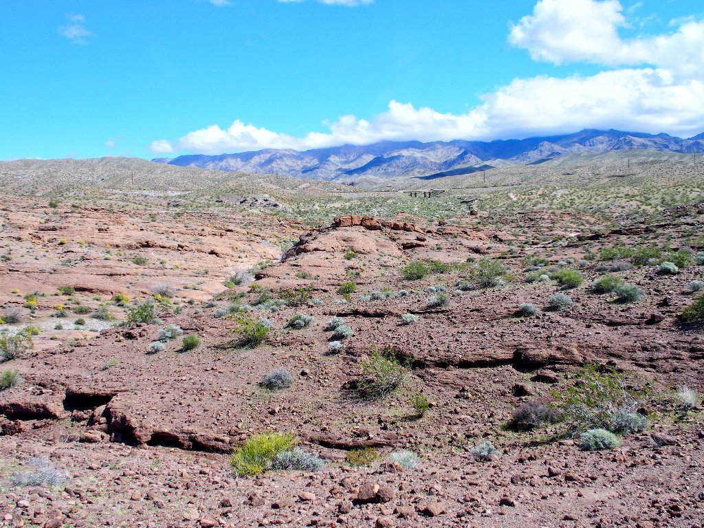
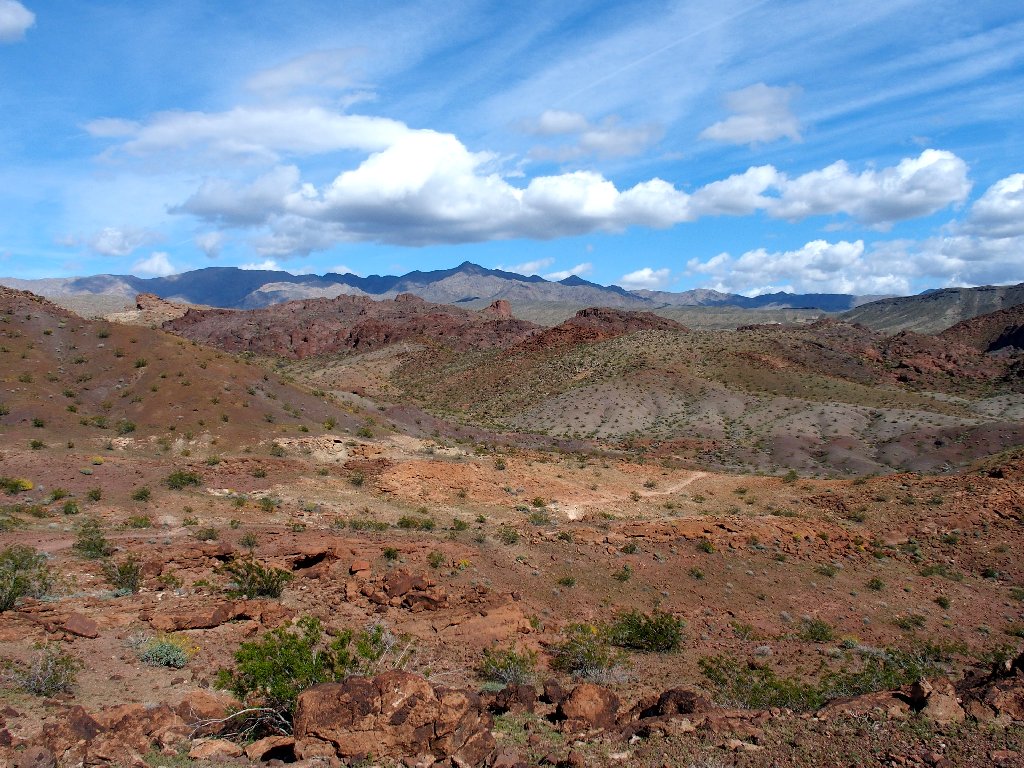
From the top of the hill is a fine view.
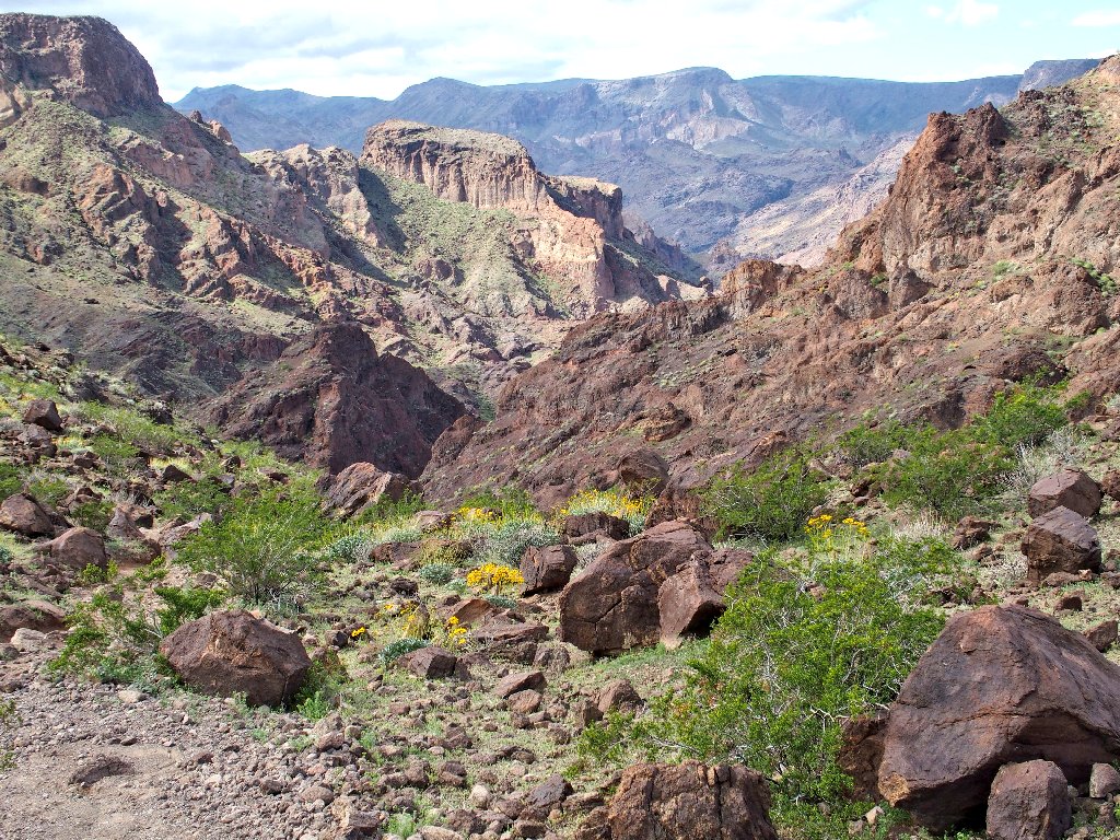
The Colorado River is in the distant canyon
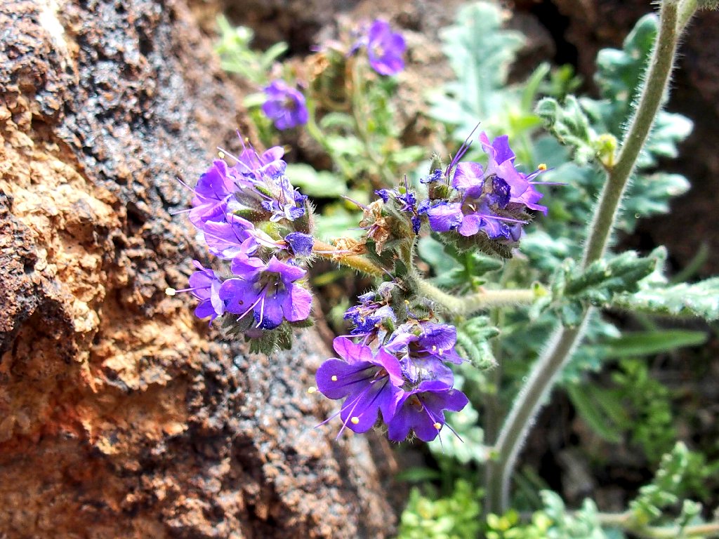
Notch Leaved Phacelia
More Brittlebrush
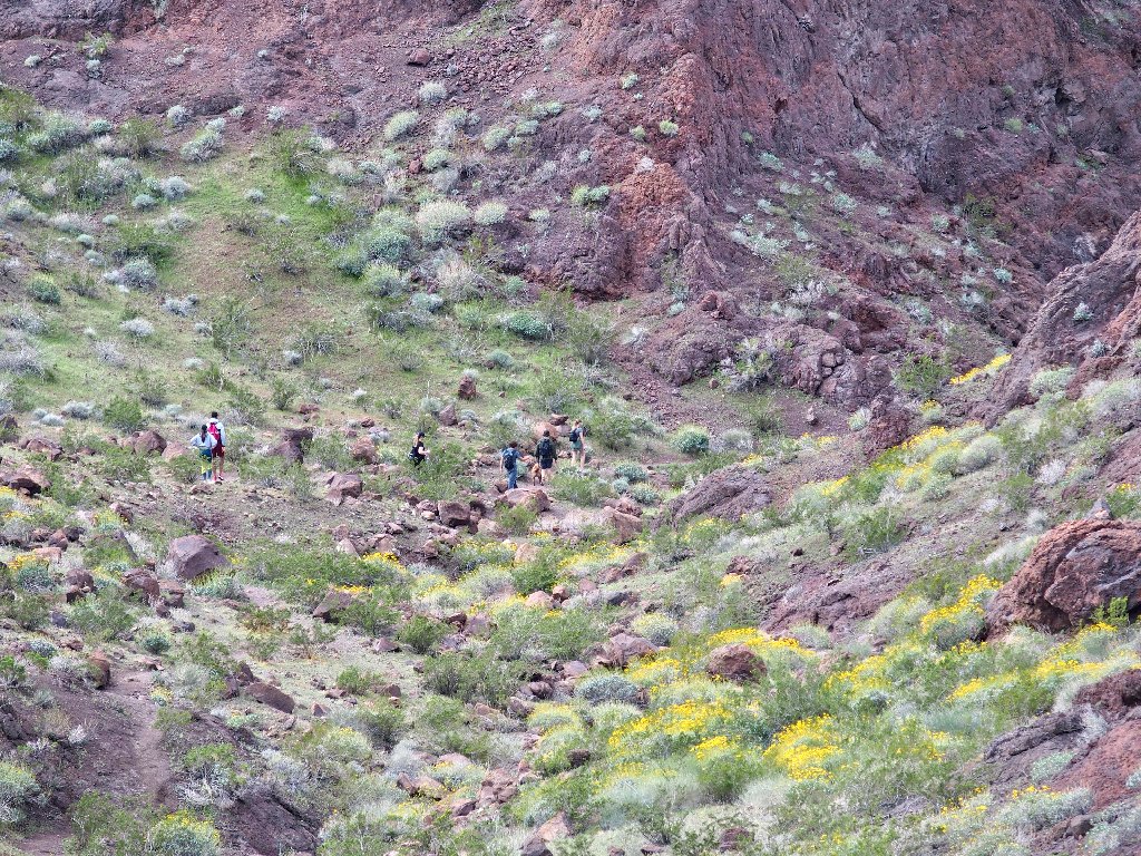
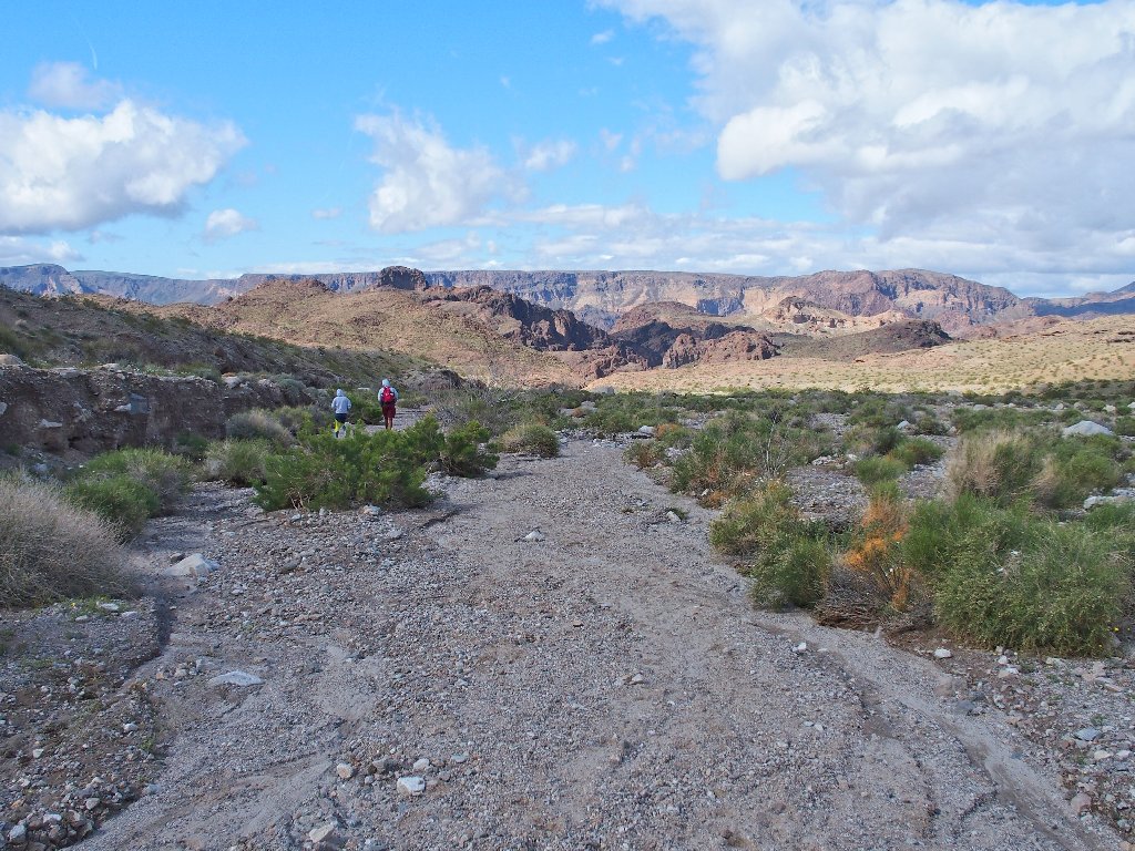
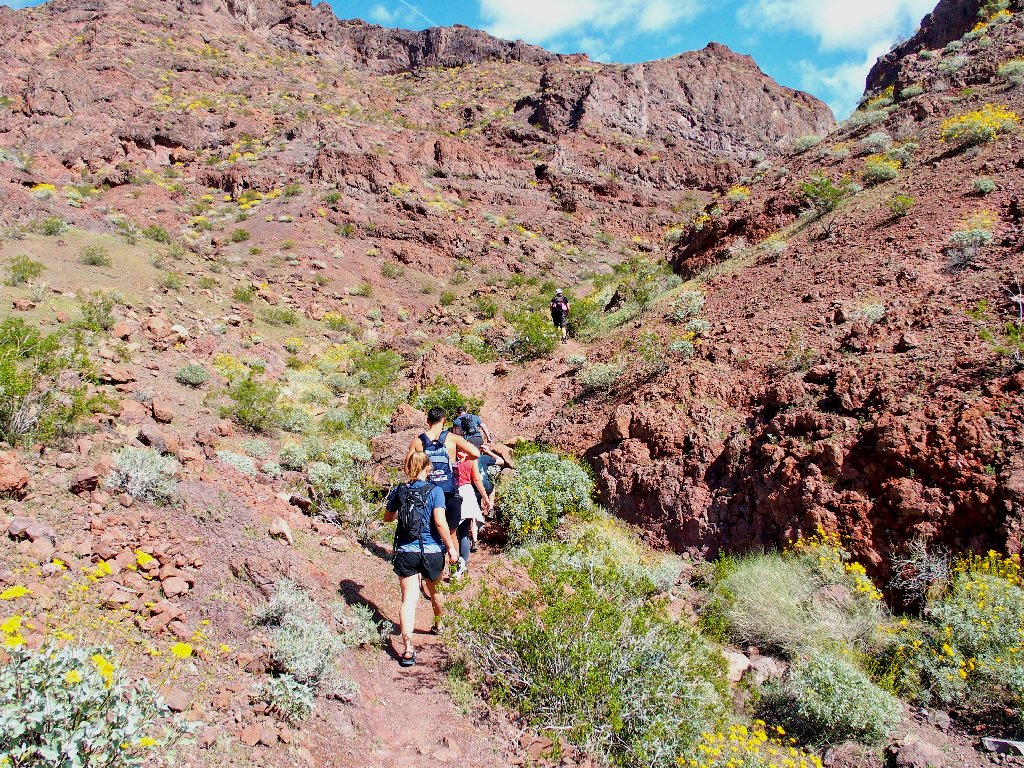
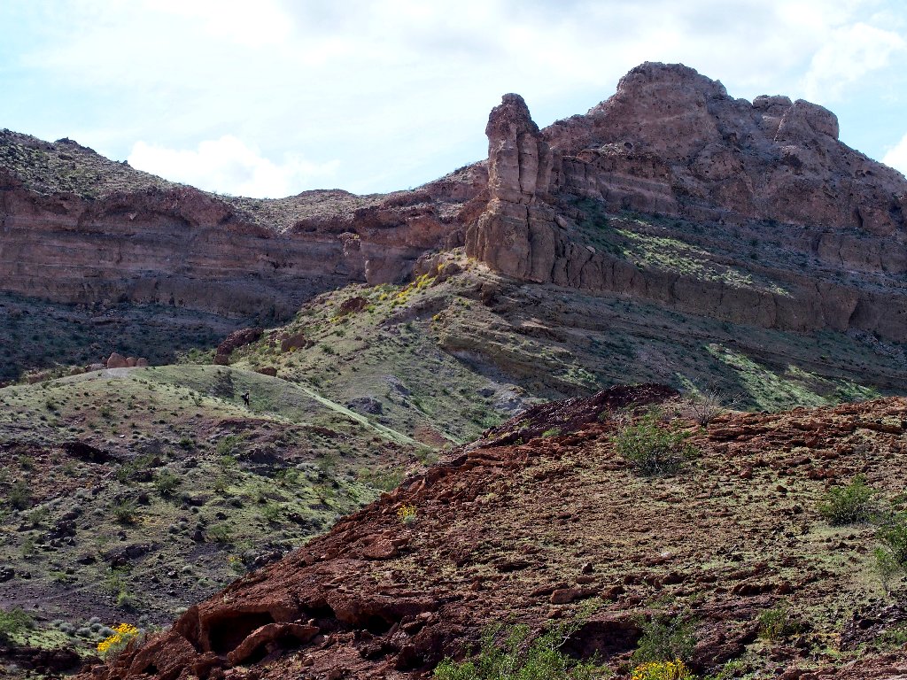
A large group is ahead of me
The trail becomes more difficult
Right about now I could use the walking stick that I failed to bring
along — in violation of my long-standing policy to carry
it automatically on an unfamiliar route.
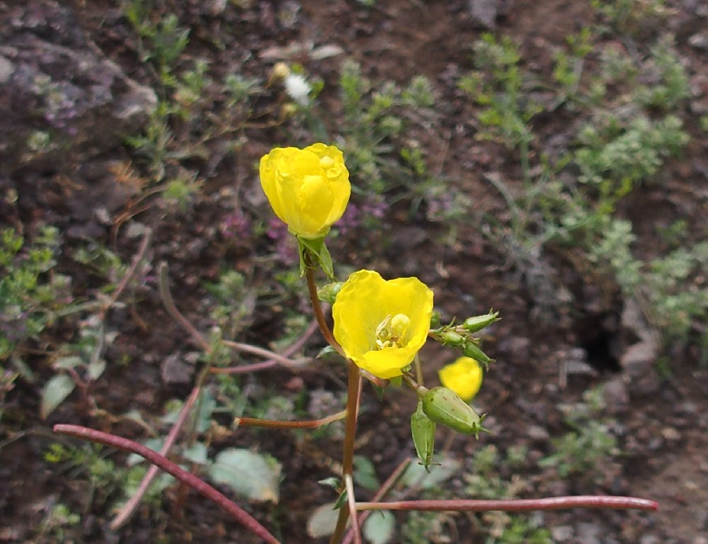
Evening Primrose
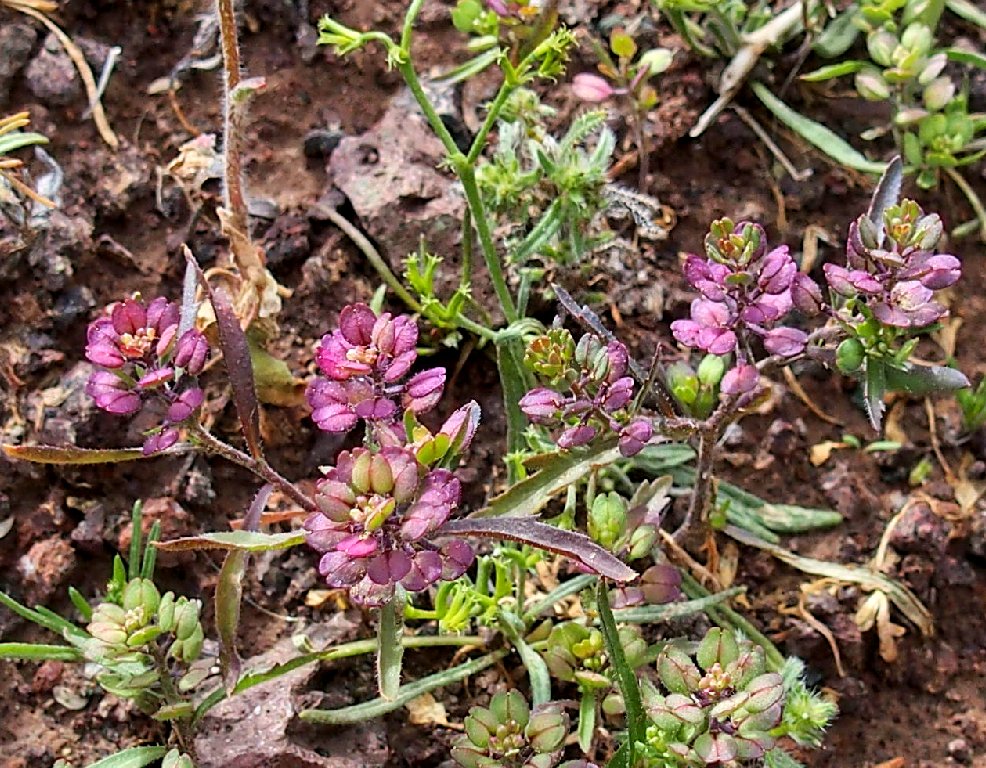
Pepperweed
Halfway down
About now I begin wondering in earnest where the bloody arch is. I have walked quite a ways already.
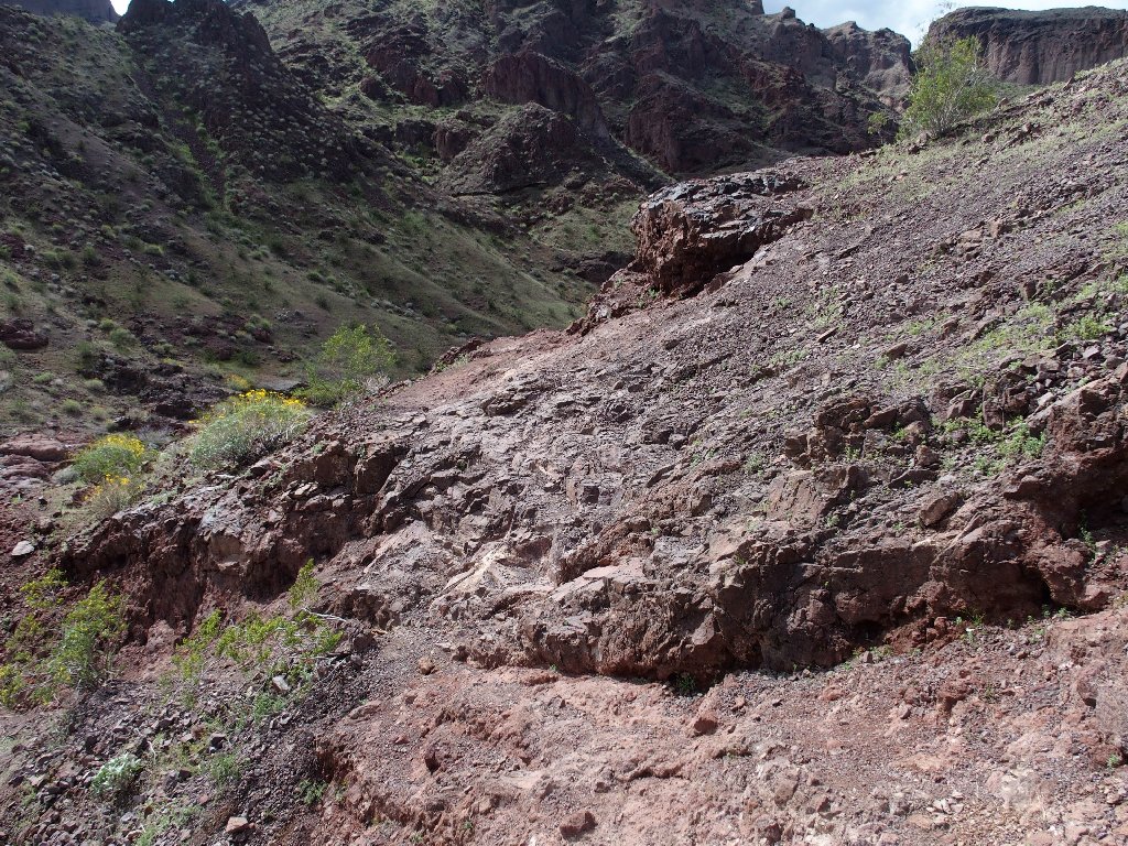
A tricky section
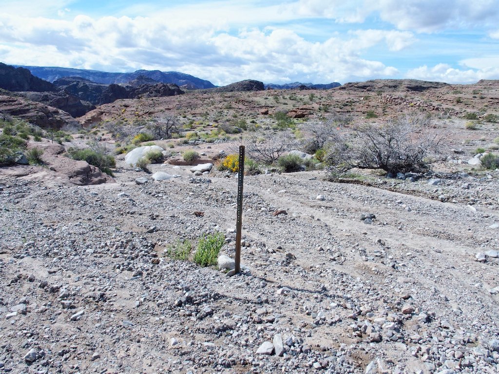
A signpost ahead confirms my suspicion that something is amiss:
It's pointing back the other way
Okay, so I missed the turnoff somehow; but I'm not ready to quit this route just yet. It is becoming more interesting with every step.
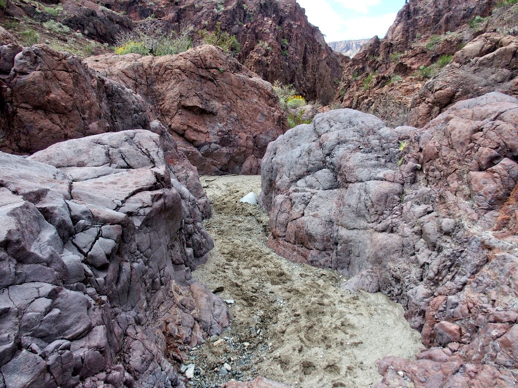
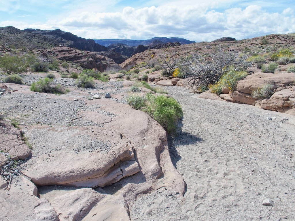
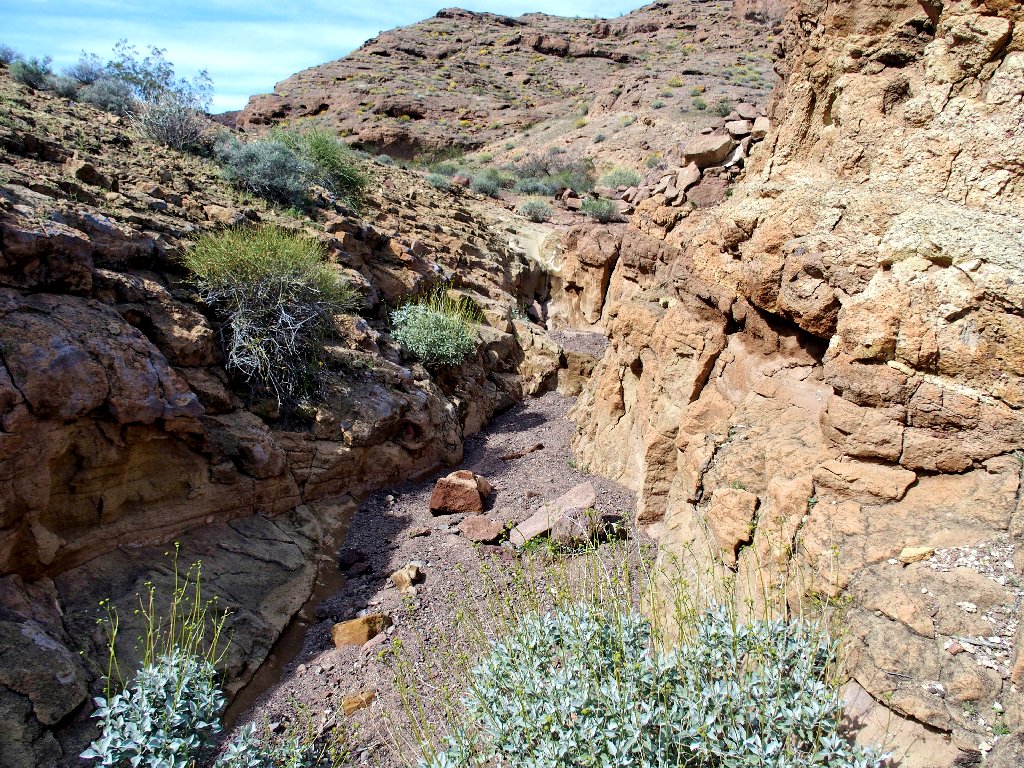
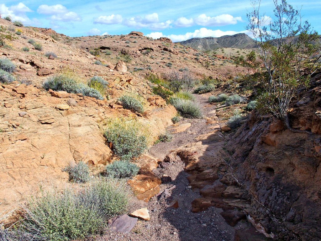
Into the narrows
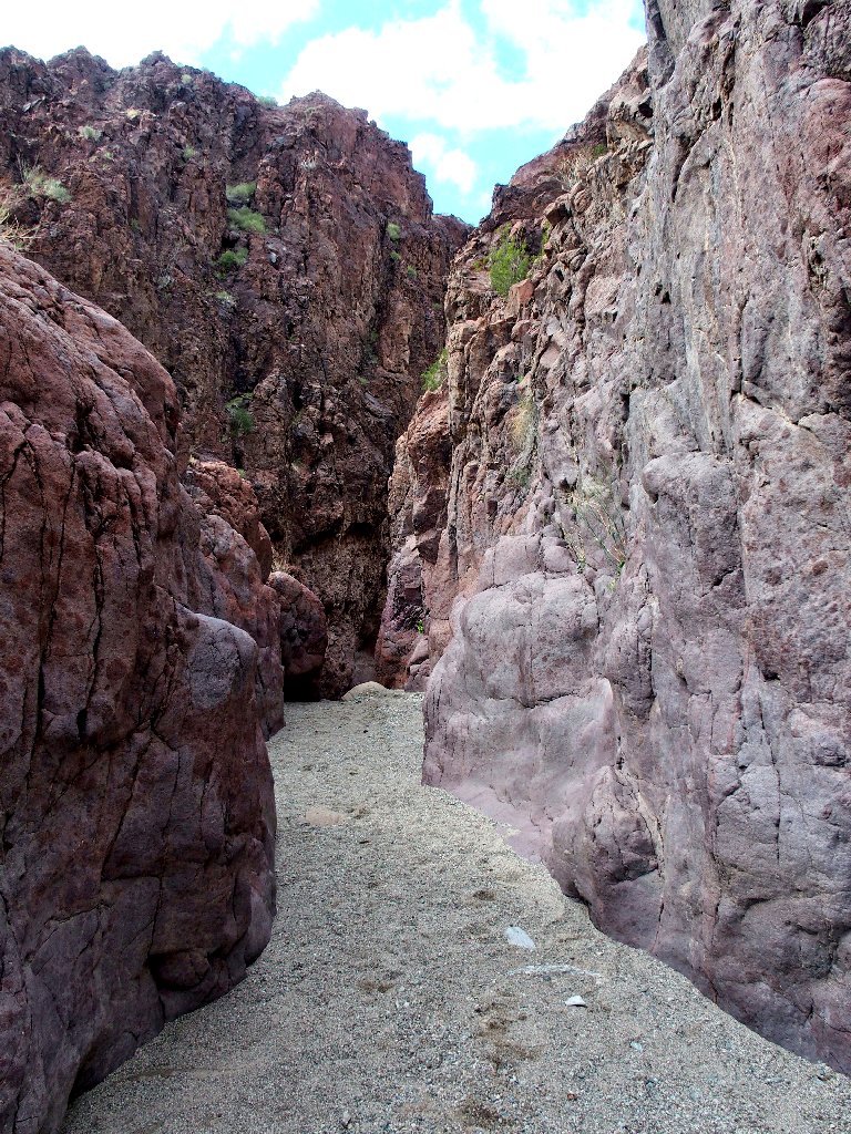
This is fun
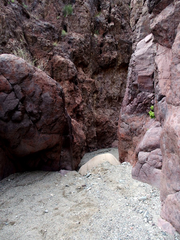
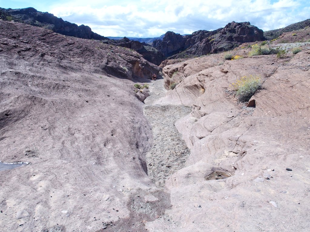
Oops! After having just gotten started down this delightful channel, I encounter
an eight-foot dryfall. Although I surely could get down it without breaking
my neck, getting back up unaided looks problematical. I guess this is the end
of the line.

It's harder than it might look
Well, that's unfortunate; yet this is the wrong trail.
So long
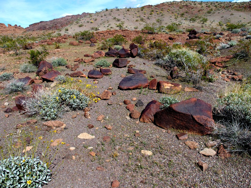
Interesting patterns in the conglomerate
Brittlebrush
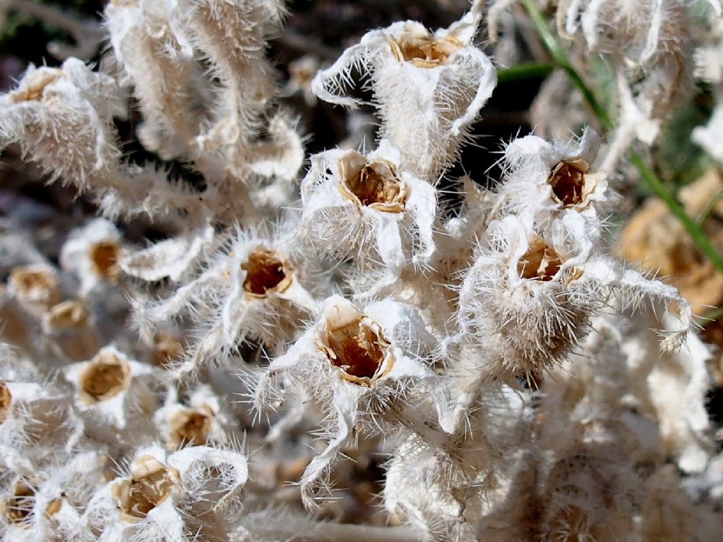
Doveweed
A panoply of color
For a time I play leapfrog with a group of youngsters and their two friendly mutts, but eventually I fall a bit behind.
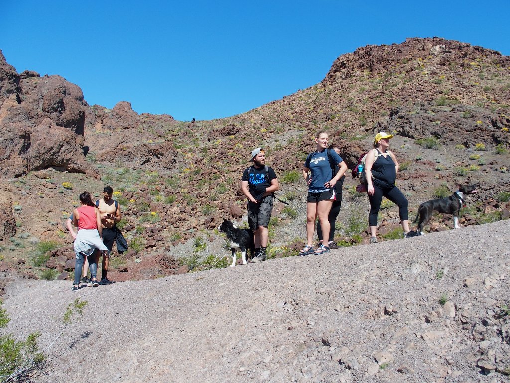
Even kids must rest eventually, I suppose
Back atop the hill now, no arch is yet in sight. I follow a little spur for a few yards, but it seems too primitive to be a correct route. Of a nearby couple I ask, "Where's Liberty Bell Arch?" The woman replies, "I don't know what that is".
I head down this hill...
...then consider returning to that little trail
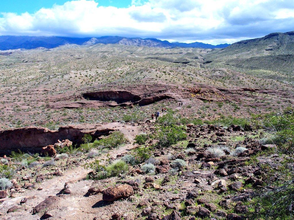
Recalling something from signposts, I believe that the arch is somewhere to the north. Presently, a convenient little creek bed offers a shortcut in that direction; so I take it. With the trailhead in sight virtually all the time now, getting lost is impossible; so how bad could it be?
I'll try my luck in this direction
Suddenly my luck runs out. At a little three-foot rise, a foot slips on some scree, causing me to go down on my knees and then roll over. I watch in dismay as the fingers of my left hand bend in an unnatural direction right in front of my face.
Having broken my right wrist six years ago in a somewhat similar situation, I am feeling a bit of déjà vu. Unlike the last time, however, my fingers are hurting quite a bit. Having no knowledge of the extent of the damage, there is nothing for it but to head directly back and deal with the problem.
The trailhead is way over there
My sunglasses are lying on the ground, broken, and one of the temples is missing. I don't see it anywhere, and I am not inclined to spend time looking for it. I will wear the glasses anyway, hanging off just one ear.
It's not so far now
I make it back to the car without further ado, except that I find the missing
broken eyeglass temple still hanging on one ear. Brilliant. It seems
reasonable to get my hand looked at; the only question is where.
It being more than thirty miles back to Las Vegas, I opt for a more attractive
solution — a visit to a smaller facility in the nearest community
just ten miles away.

My smartphone leads me directly to the little hospital in Boulder
City. The Emergency Room nurse cleans up an abrasion on my palm, helps to remove
my wedding ring from its swollen appendage, and administers a recommended tetanus
booster. After some poking and prodding by a doctor, subsequent X-rays
show no breakage; so they send me on my way without even making me pay anything (yet).
My fingers are feeling much better now, and of course I am much relieved to learn that my injuries are minor. I also am dismayed, of course, over not having completed the mission. Will I never see Liberty Bell Arch?
Suddenly an epiphany strikes. Why don't I just return to the trail and do it
right? That would be different, and a successful rematch would be quite
wonderful. Deciding to go with that plan, I am back at the trailhead by
2:30 p.m.
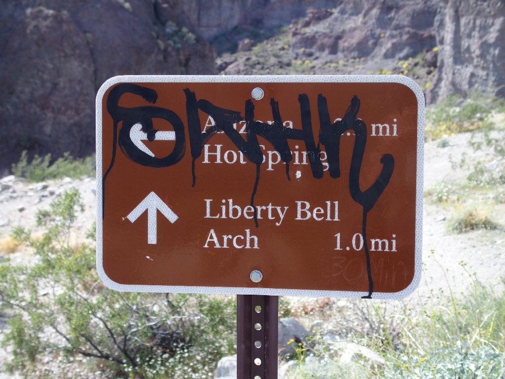
This time I will at least bother to study the map at the kiosk, which says to veer right after a brief walk, then angle right again after another brief walk.
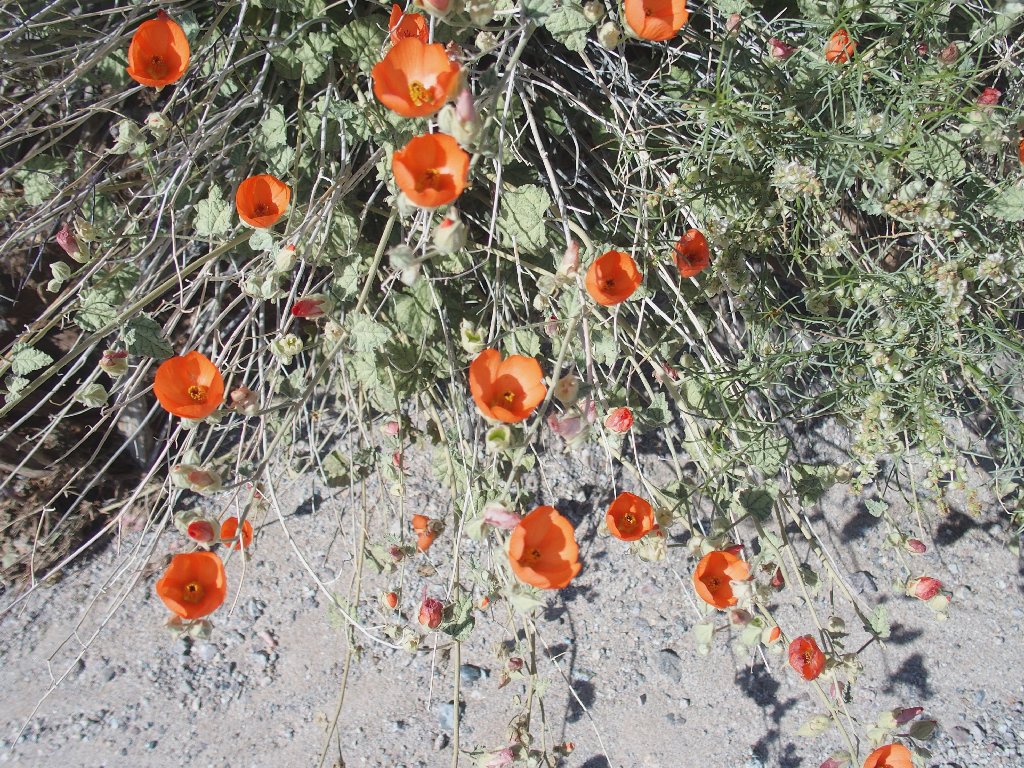
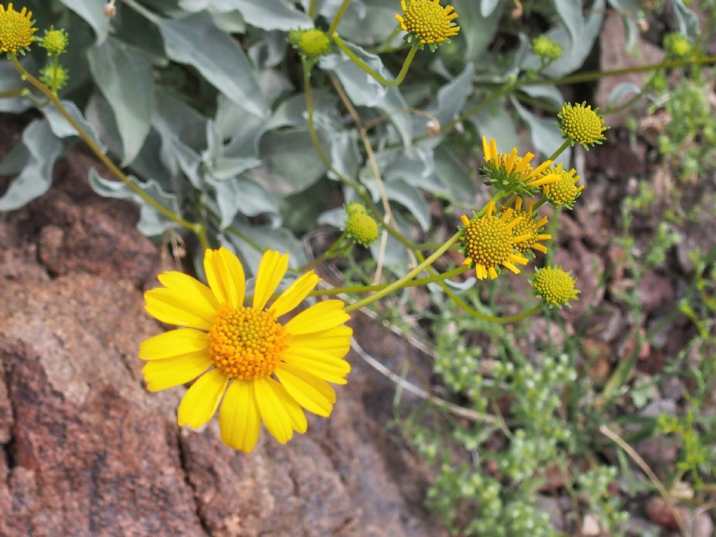
Desert Globemallow, shot in a stiff breeze
Aha! At the .4-mile distance appears a bare metal rod.
In BLM-land, spartan markers such as this are commonplace; but I don't
believe that that was the intention here.
It wouldn't kill them to replace the missing signpost
There are plenty of footprints, so it's gotta be true?
Half a mile later:
This is good
They must be down on the (other) Hot Springs Trail
A minor scramble while temporarily off the path
I catch a woman photographer at another cactus plant, remarking about how lovely they are. Yep.
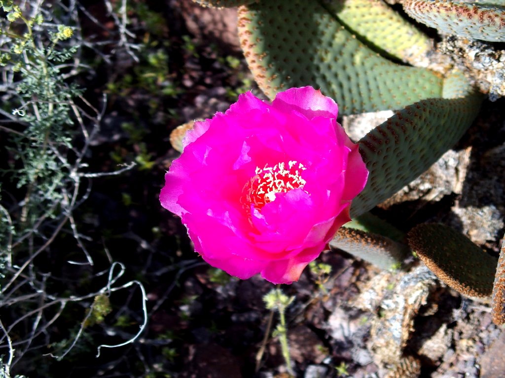
Beautiful
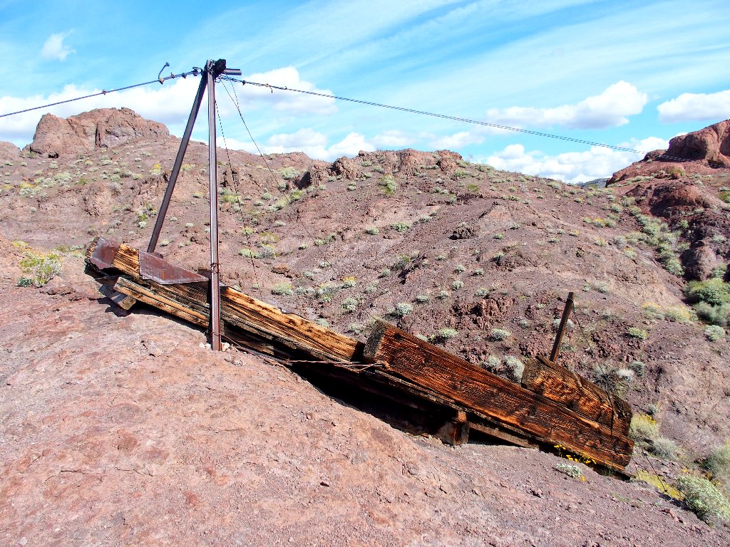
Atop another ridge, I encounter a bit of history:
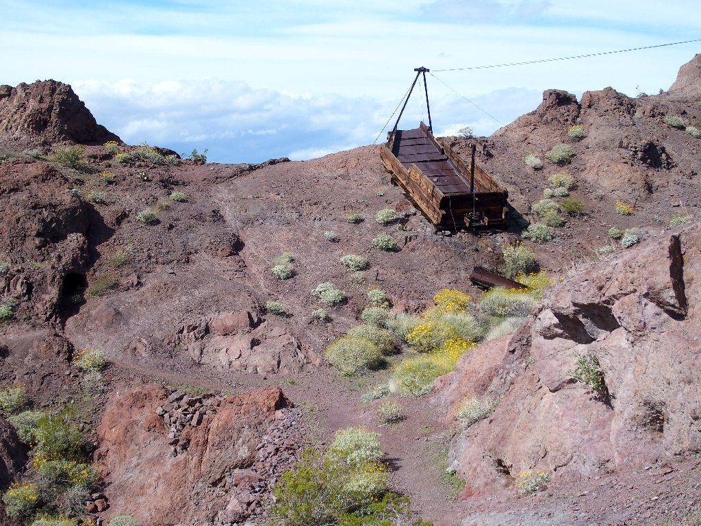
Remains of an old WWII-era magnesium mine
Chatting briefly with a young photographer here, he points to a distant formation, saying, "That's the arch over there".
It's not just over there, it's way over there
Another hiker approaches in the distance
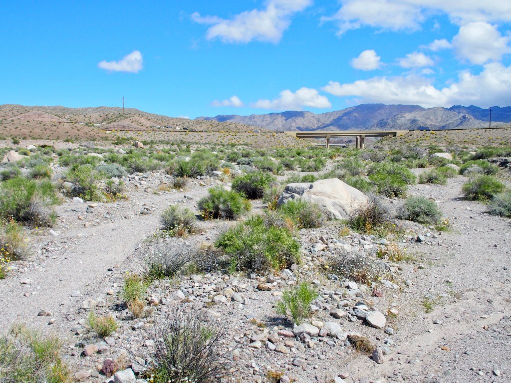
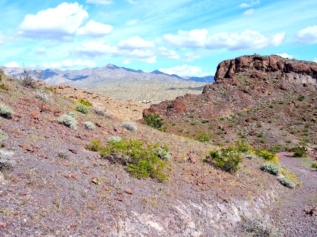
To the north is a reminder that 'civilization' is nearby.
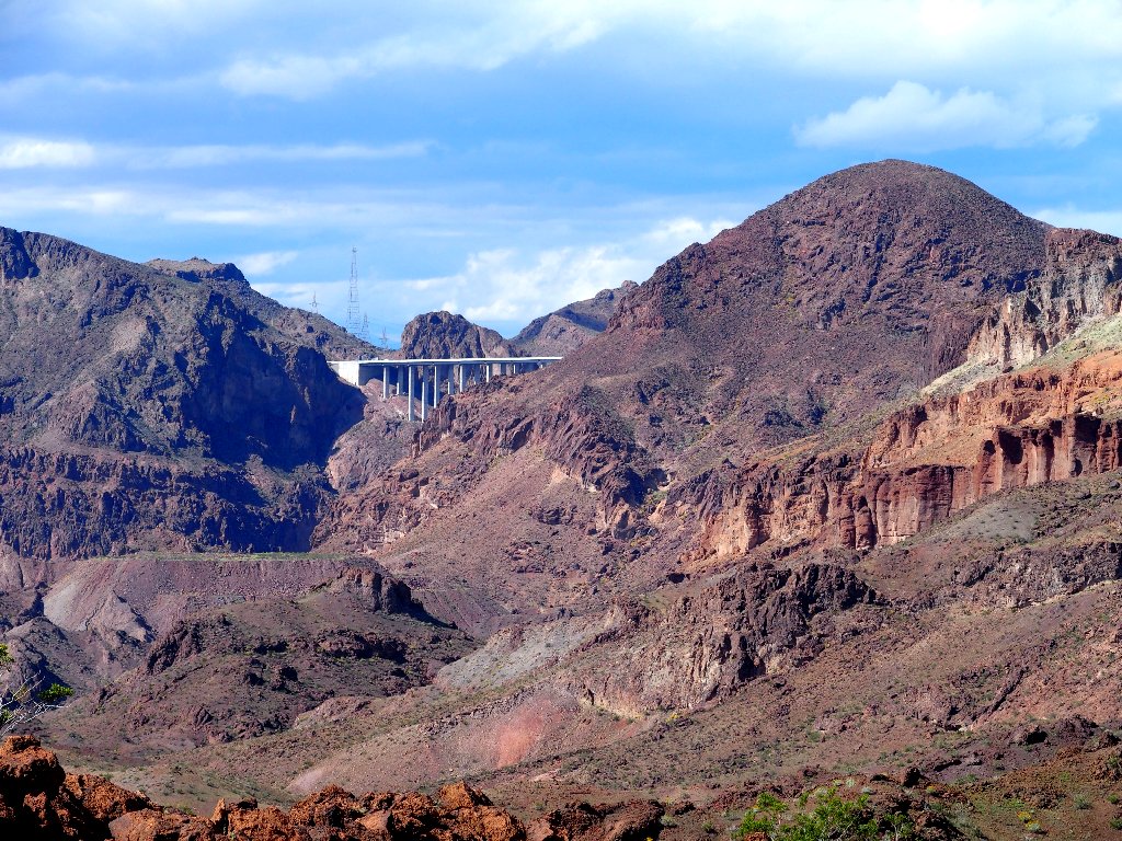
One of the new bridges that bypass the dam
By veering around to the right, I manage a couple of photographs while aiming directly toward the afternoon sun.
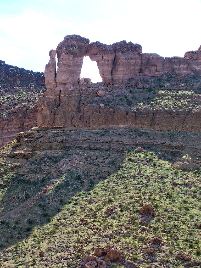
Liberty Bell Arch
Knowing that I will regret it later, I nevertheless cannot summon up the resolve to traipse around to the other side of the arch and match the shot that they put up at the trailhead kiosk.

Last view
My injured hand really isn't bothering me; but I am really good at 'wimping out' at the slightest excuse, and this time I arguably have one.
Starting back
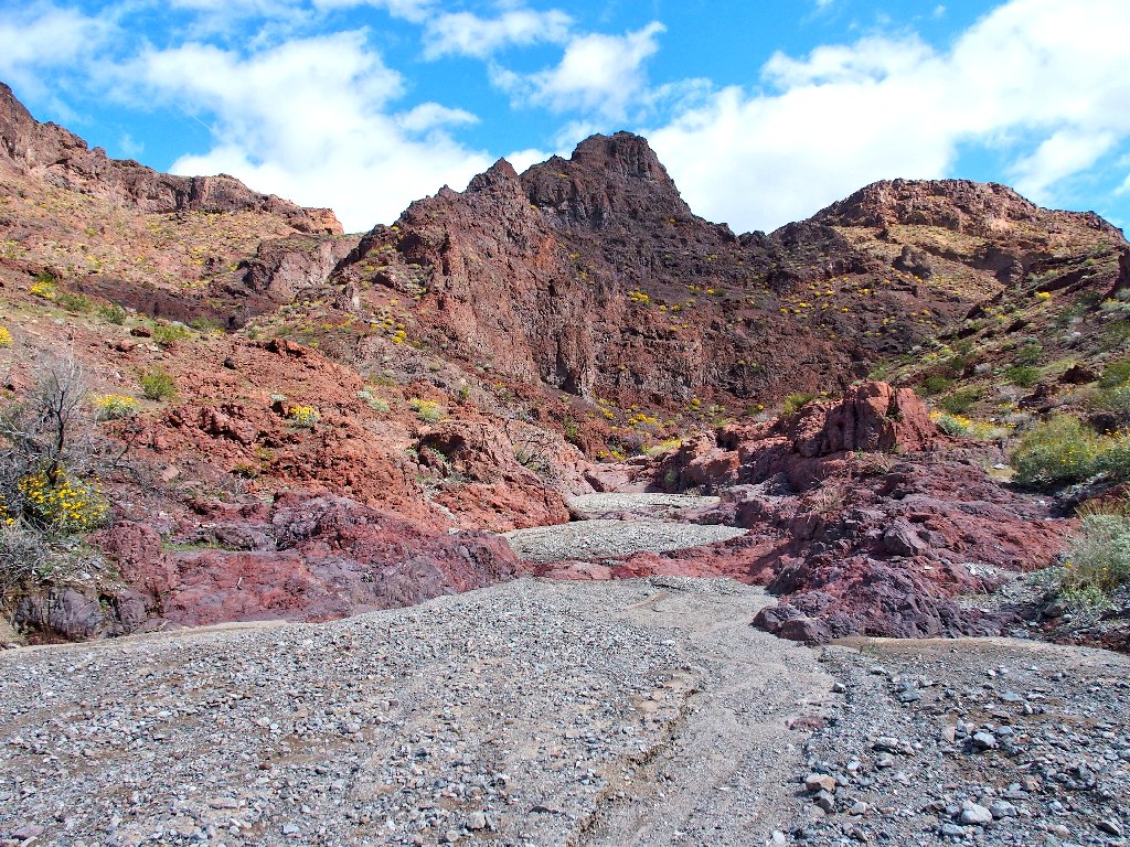
Black rocks abound
Back at the mine
The overpass is in view
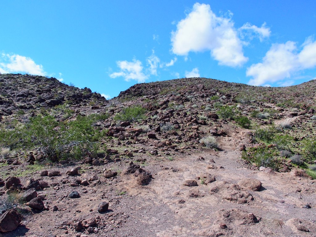
Only now has it become warm enough to for me to remove my outer shirt and soak up more welcome rays.
Pleasant walking
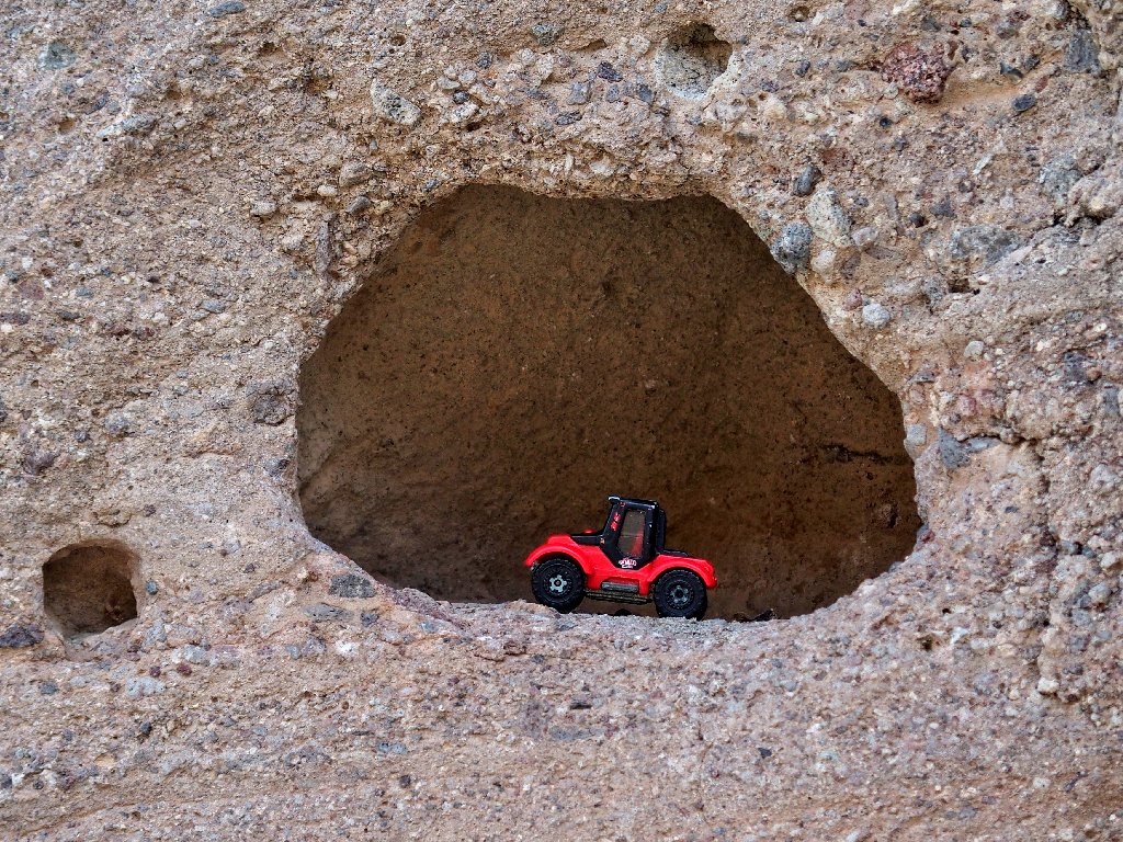
A bit too late, I get my mascot into the act.
I should have driven the route today
§: Well, this was one for the record books — and something I hope
never to repeat. I am at the same time disgusted and elated.
Had I properly done my homework and set my GPS, I never would have taken the wrong route in the first place, would not have incurred either an injury or the medical expenses, would have bothered to get the best possible photographs of the arch, and would have continued another half a mile to the Colorado River Overlook. On the other hand, I also would have missed out on the nice flowers and scenery on the Hot Springs Loop.
Most importantly, though, I saw this thing through, bad hand and all. Mission accomplished, I guess.
| Scenery |  |
| Difficulty |  |
| Personality |  |
| Adventure |  |
| Flowers | |
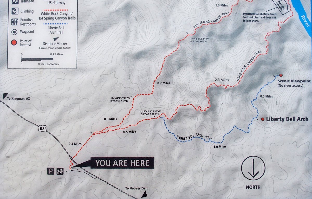
The southernmost red trail was first, then the blue one
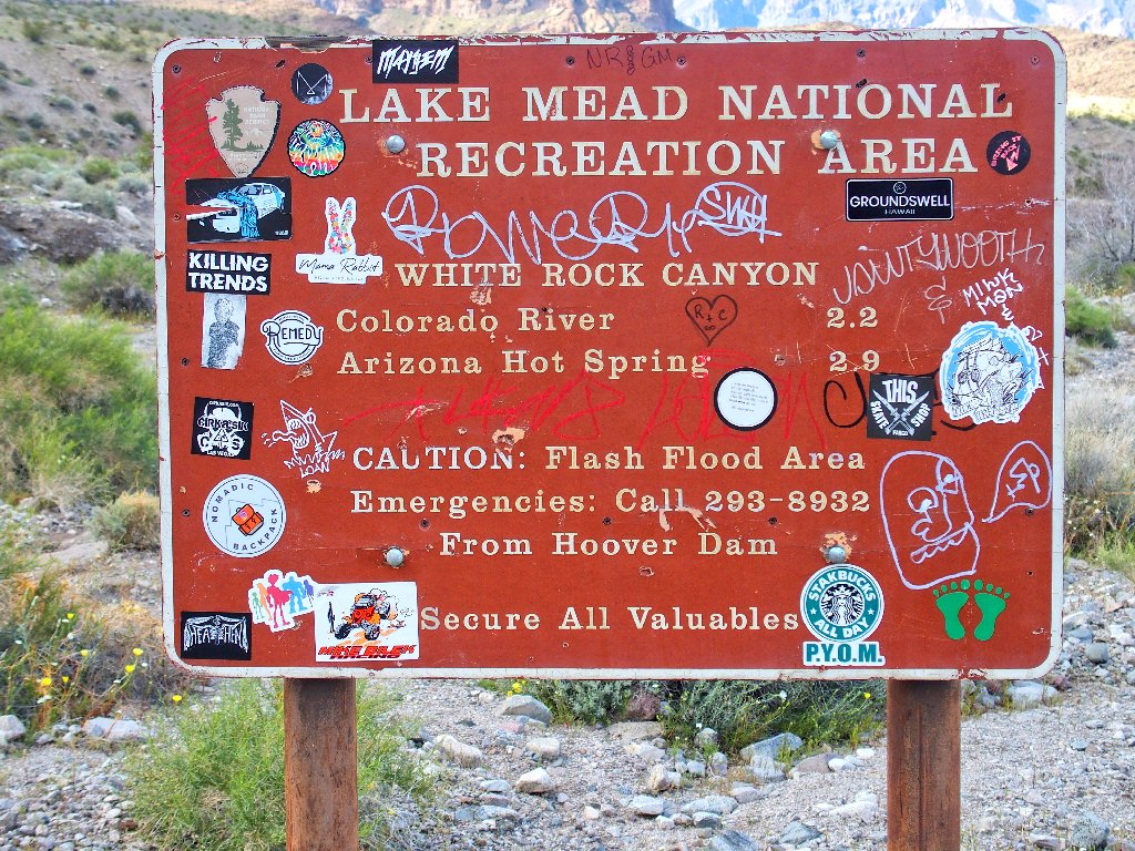
ADDENDUM
It turns out that the ladder that accesses the Upper Hot Springs Trail from the river was not torn down by a human, but was washed away in a winter flood. Also, three days after this hike, the Hot Springs area was officially closed off due to the coronavirus scare.
At the same time, as I departed the Las Vegas area for home, they closed up the town behind me.
