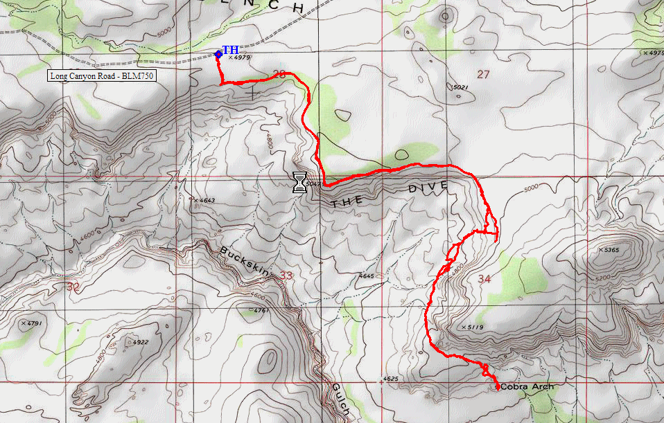
Vermilion Cliffs Wilderness, Utah
|
Cobra Arch Vermilion Cliffs Wilderness, Utah |
October 22, 2019
After three virtually unproductive days on this Autumn Bucket List Tour, I am determined finally to get back on track. At the BLM Paria Contact Station west of Page, Arizona, the ranger says that the access road to today's trailhead is in good shape.
Half a mile west of that station, I head south on the dirt road. Albeit
posted as "UNIMPROVED", it actually is very well-graded for the first few miles;
then it becomes a two-track featuring some deep sand. At one point I
plunge down a little hill in the stuff, wondering how well my car will fare on the
return.
Getting started
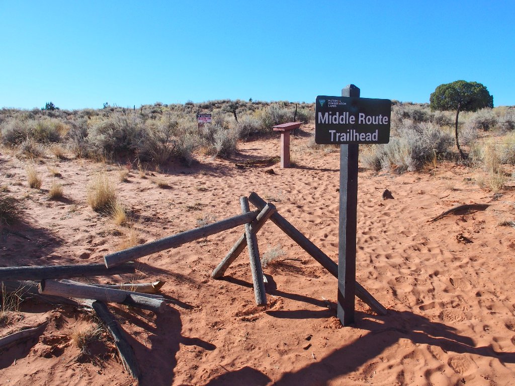
Having reached the trailhead without incident, I find that the most recent
signatures in the trail register were from three days ago. Two routes are
available here. It appears that the others had headed down the one
posted as "HAZARDOUS", to Buckskin Gulch. Their written comments range from
"Scary" to "Needed a 100-foot rope". I already knew that stuff, though;
so I'll be trekking elsewhere today.
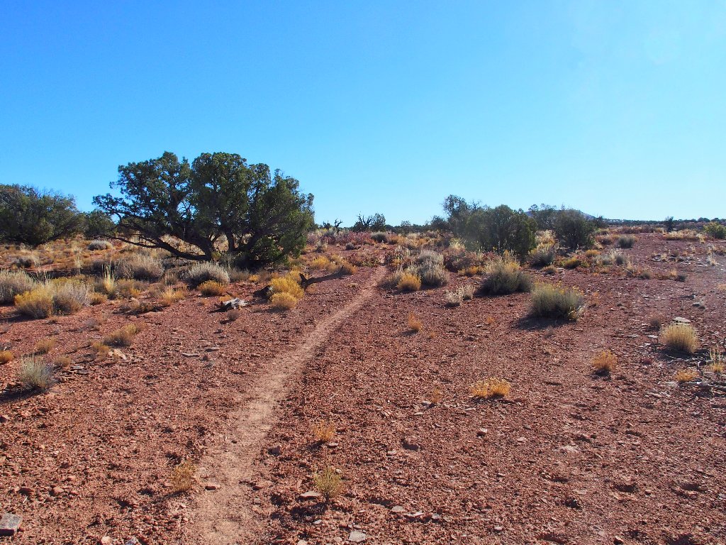
Opting for the ridge-top trail
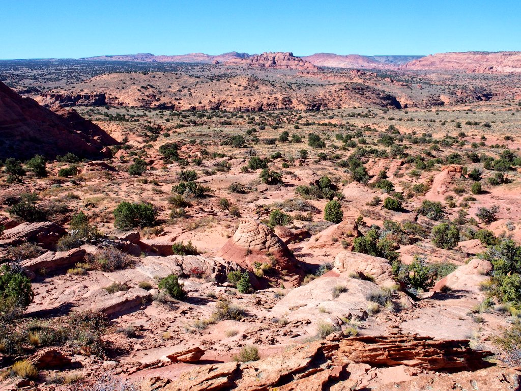
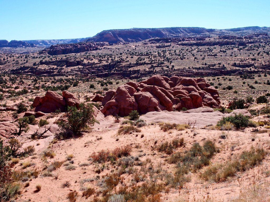
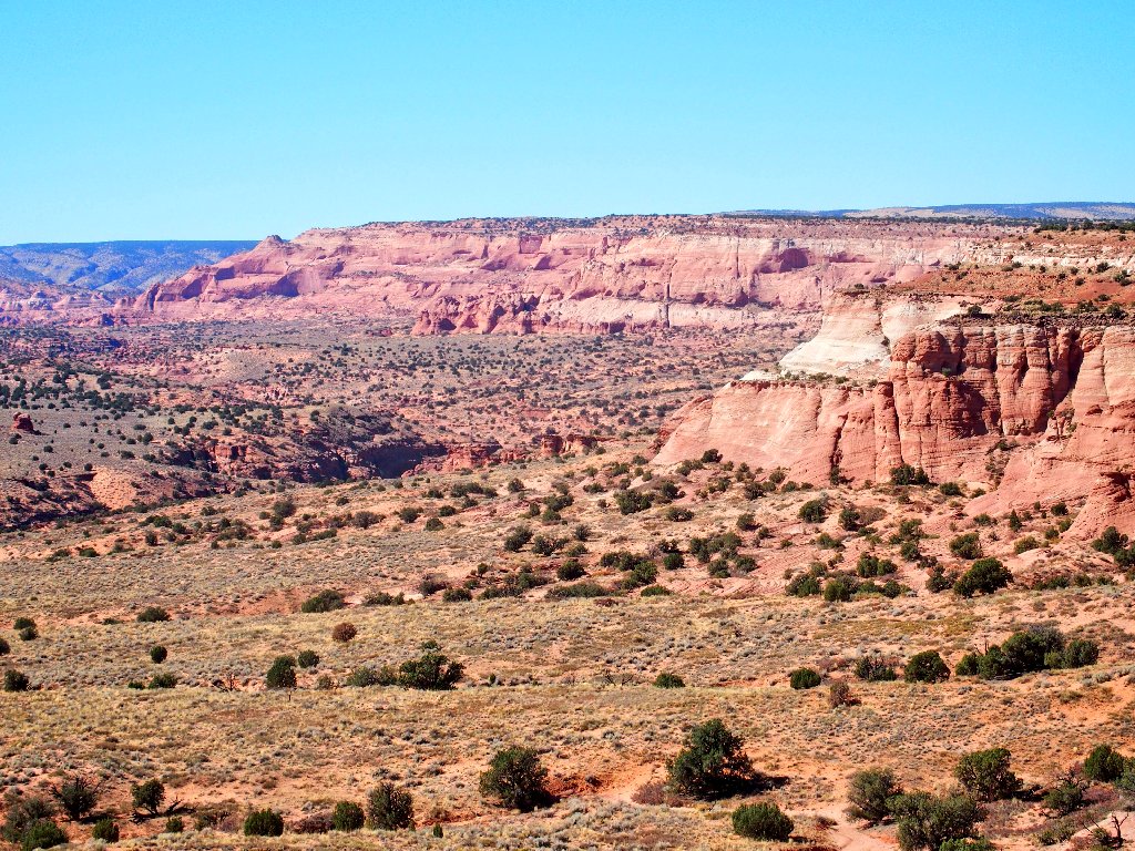
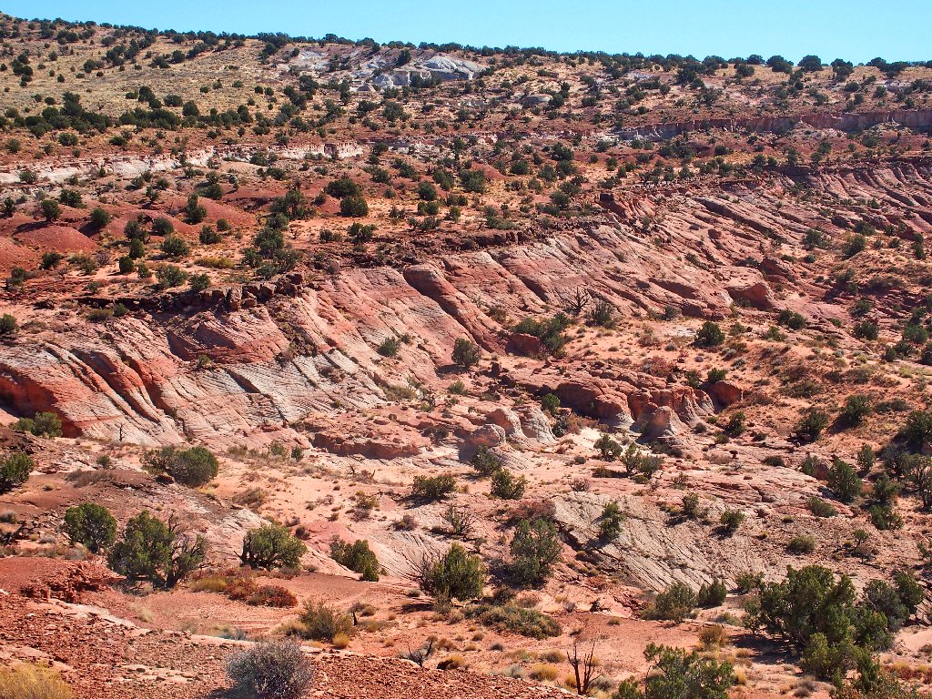
The well-worn path traverses the edge of a great dropoff on this corner of West Clark Bench, known as The Dive. Before long, some familiar territory comes into view.
The Wave formation is at the right-hand end of that distant whitish section
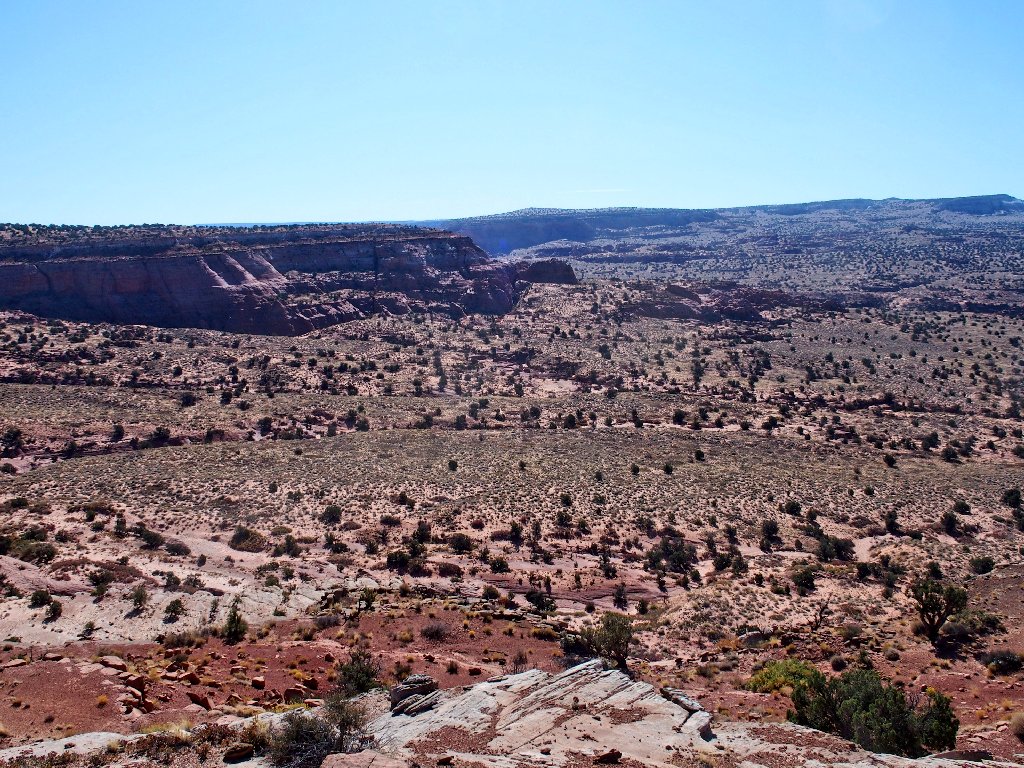
The destination is behind those cliffs
The world-famous Buckskin Gulch is directly below
That being the longest slot canyon in the world, its popularity is understandable.
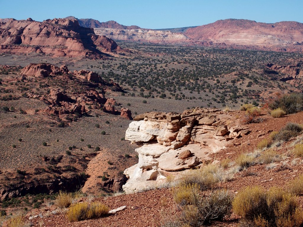
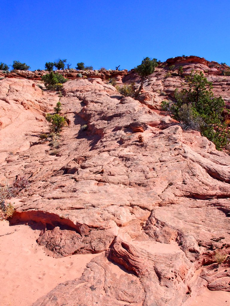
Traversing the top of The Dive, a long white cliff
Although I certainly had not expected company today, this probably is
the most isolated I ever have been on a hike —
as much as 11-12 miles from another human. (Actually, there
are hikers closer than that down in the gulch; but they might as well be
on a different planet.)
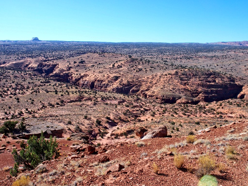
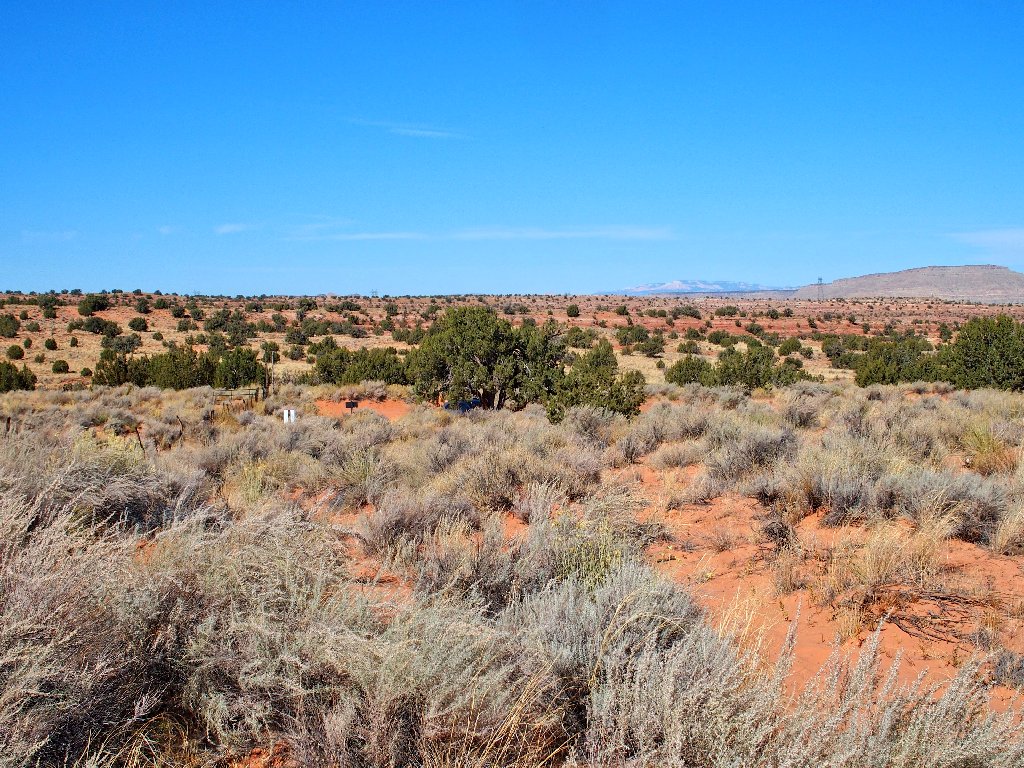
A lonesome scene
The plan is to find a weakness in this cliff-top that will enable a descent. A big cairn marks a place, but one look down that way curtails any thoughts of sliding down the available slippery slope. A couple hundred feet farther on, however, is a very suitable spot that clearly has been used a lot.
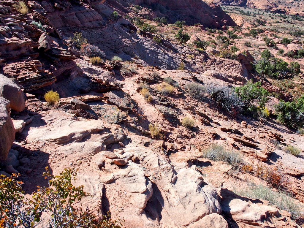
Starting down
After a 20-foot scramble, several cairns guide me straight down a solid rock ramp.
This route is fun
After that, keeping track of a useful trail is something of a hit-and-miss
affair, although it really doesn't matter as long as I proceed in the proper
direction — which of course is the one indicated by my map and GPS
waypoints.
Sometimes I'm on the rocks...
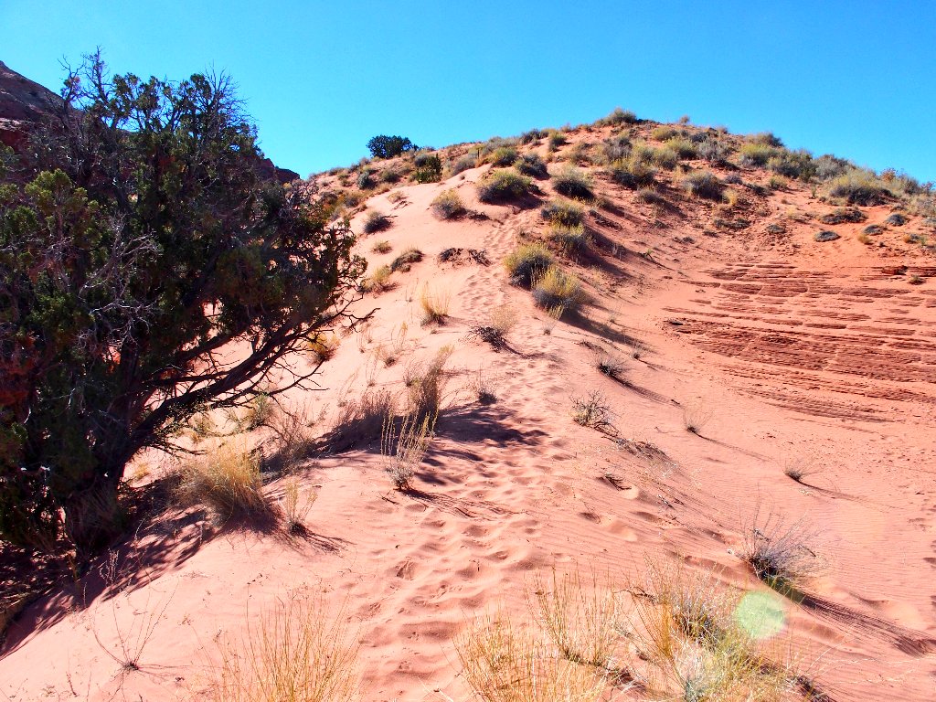
...Sometimes in deep sand
All of the uphill trudging is in the enervating sand
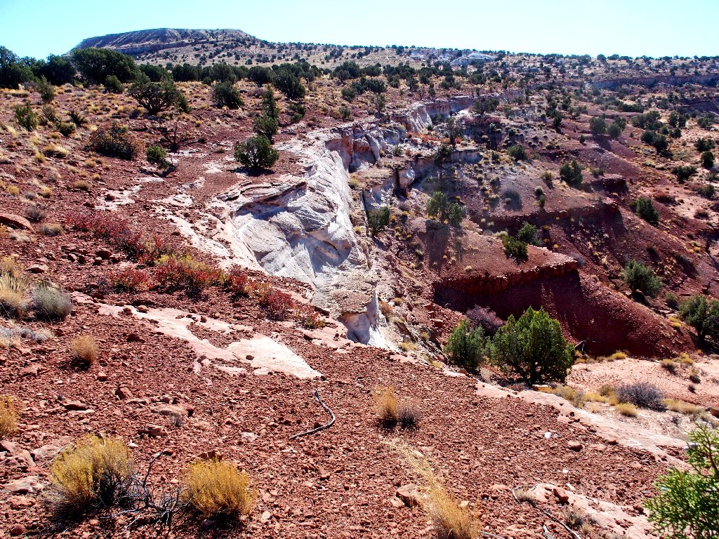
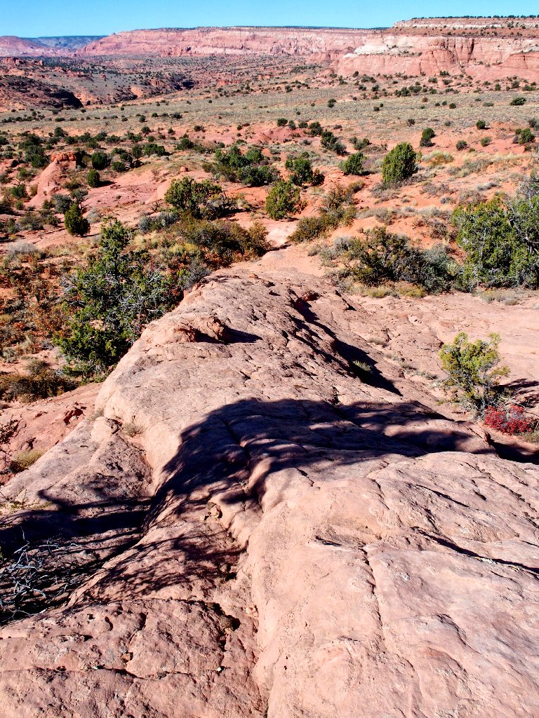
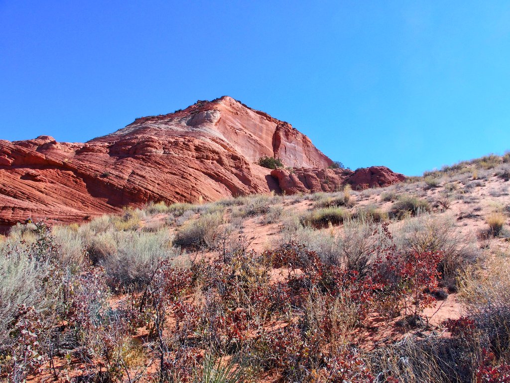
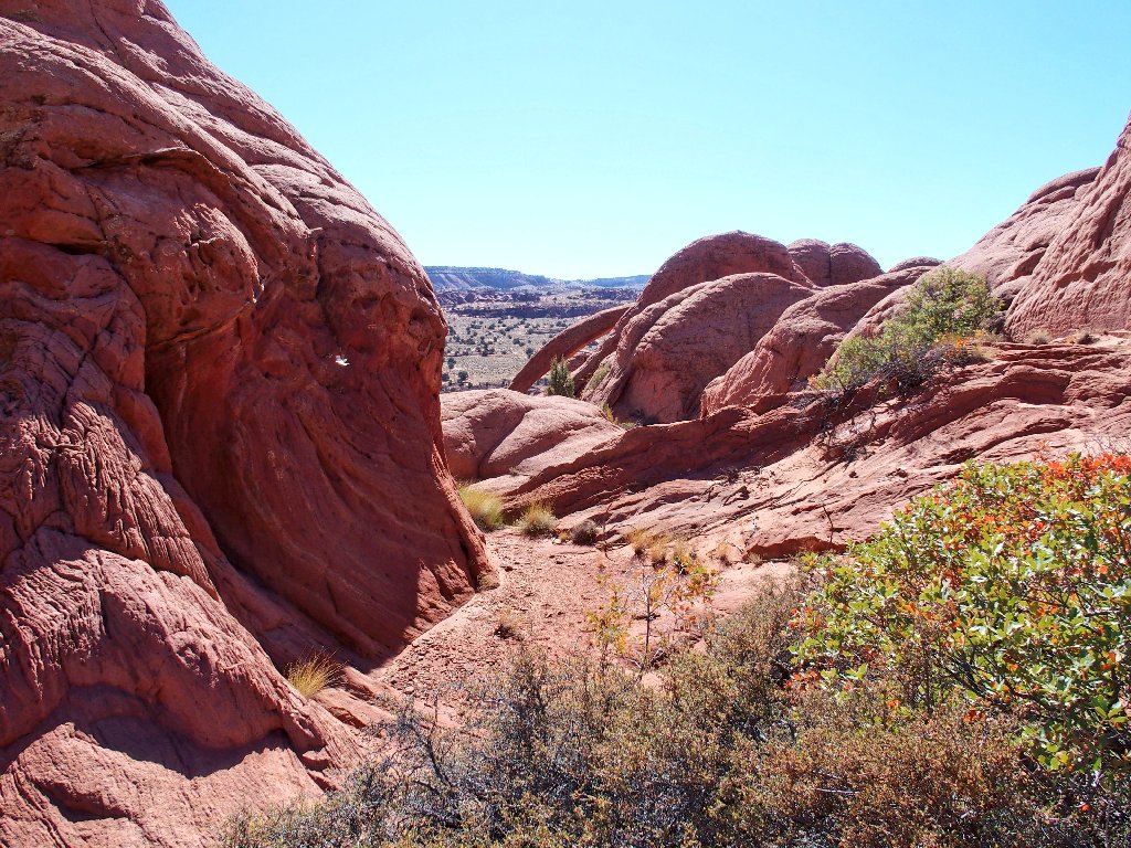
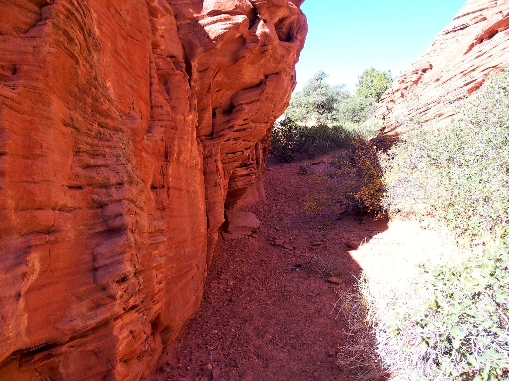
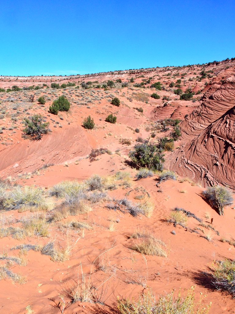
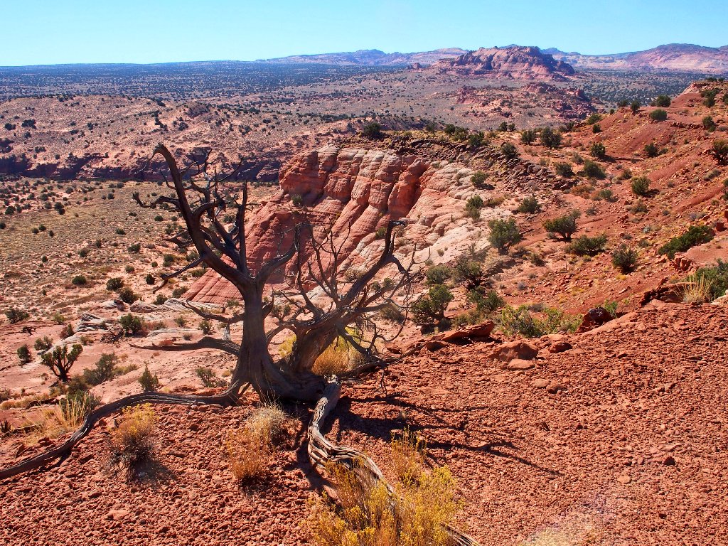
Around the corner of the cliff, the nearby scenery improves dramatically.
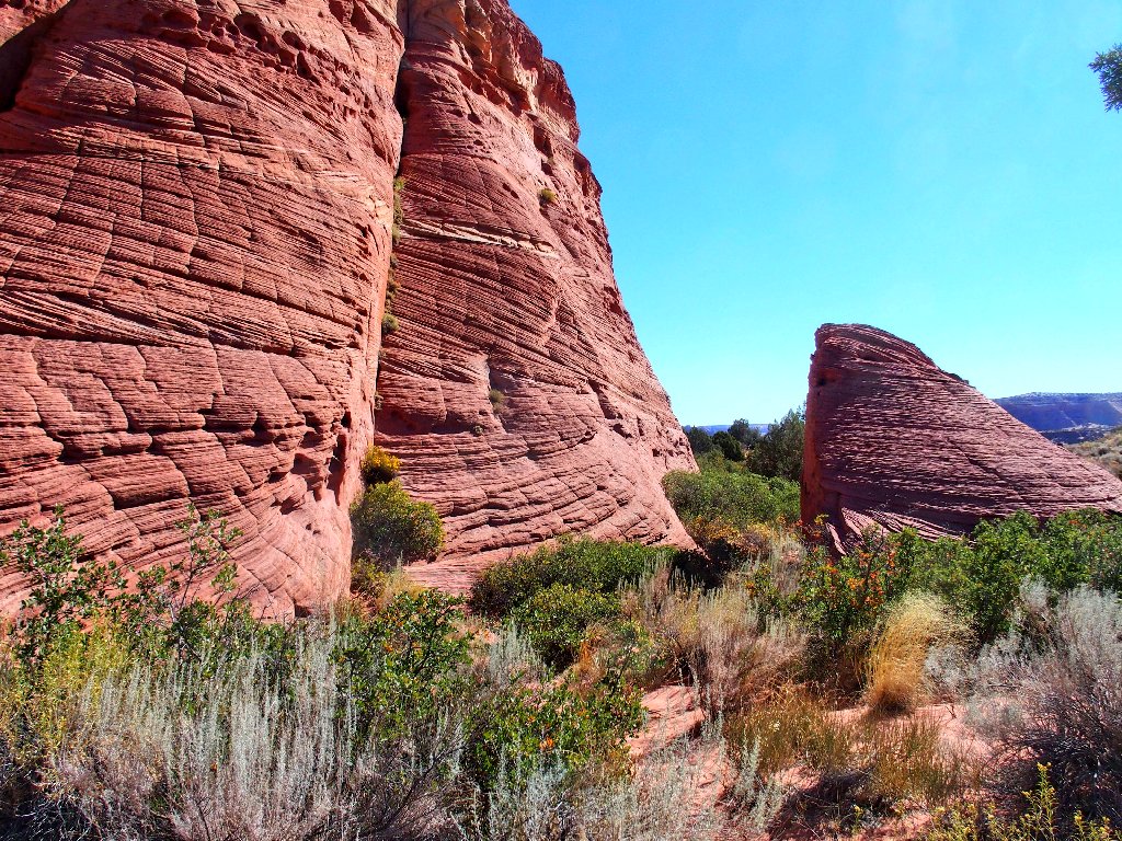
Nifty passage
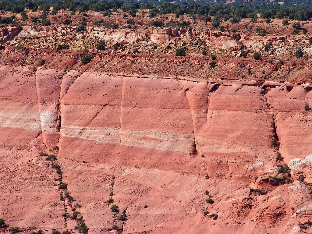
Cross-bedded cliffs
According to the GPS, it isn't far now.
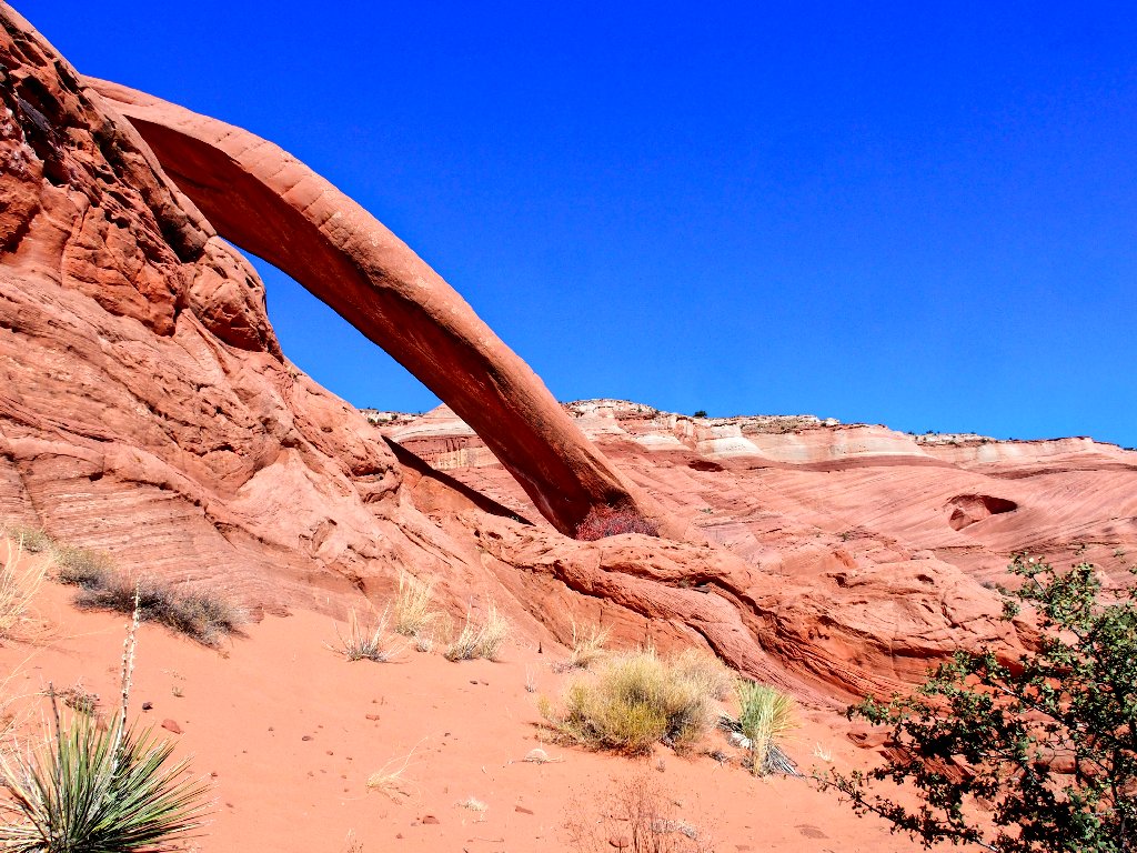
The objective must be down in that rock pile
Once again, trail markers lead me in the necessary direction, leftward and around to the back of the jumble.
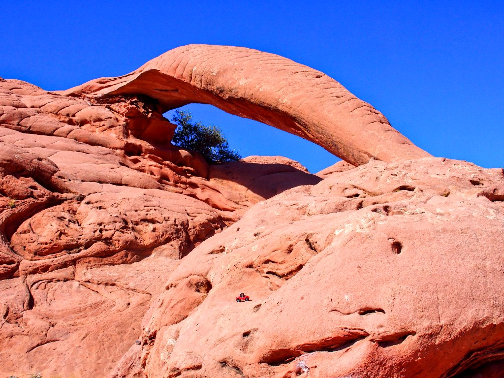
First glimpse of the arch
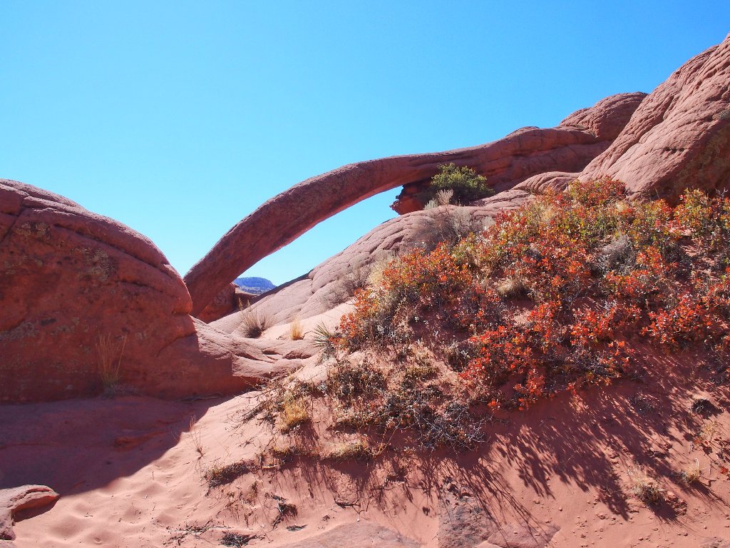
There is is
As usual, being here is much better than looking at photos. Oh, my!

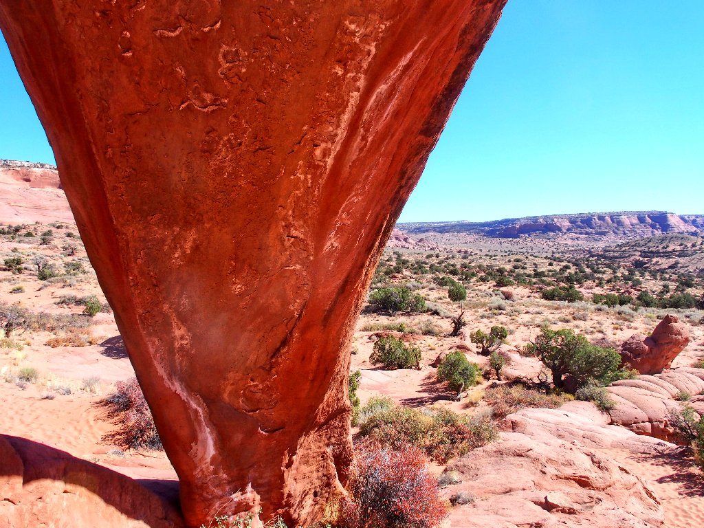
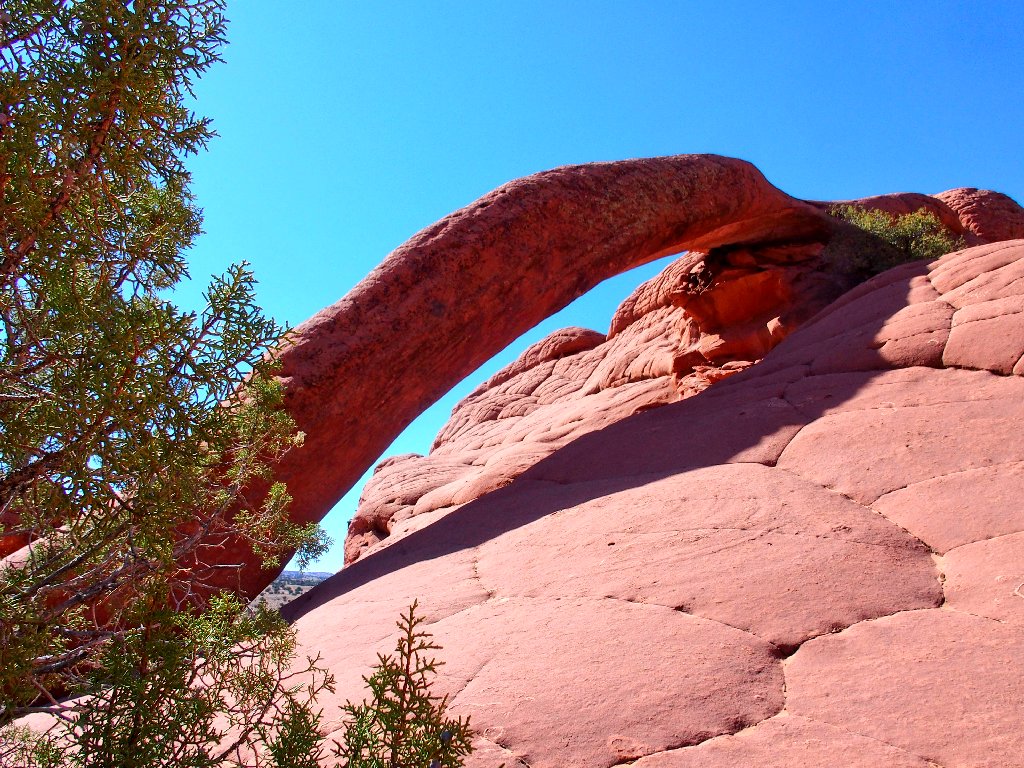
Cobra Arch, 35' × 30'
Scrambling up underneath the span provides a unique view.
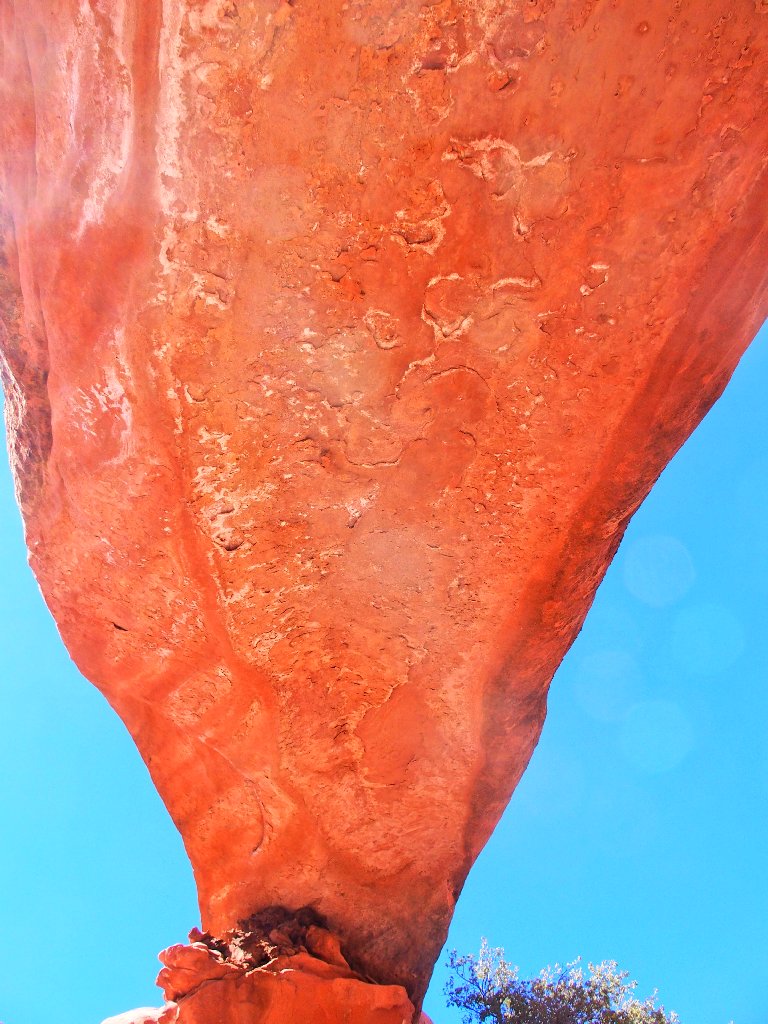
Sublime
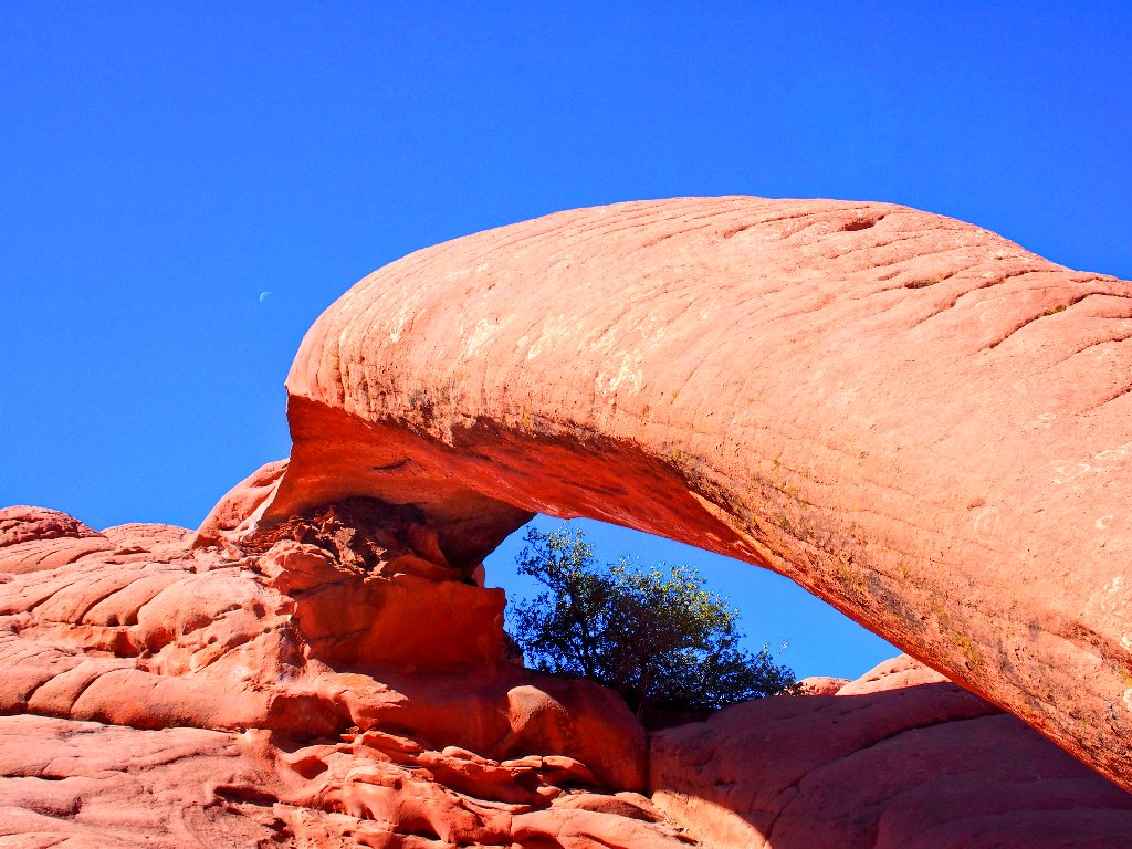
The arch is pointing at the moon
Carmine provides some perspective
Last look
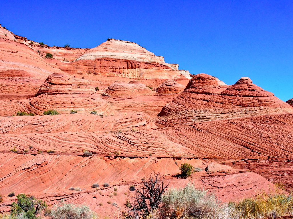
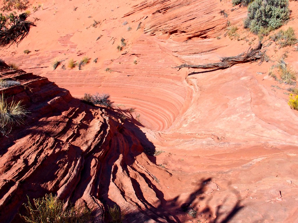
Starting back through the sandstone wonderland
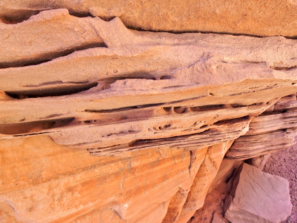
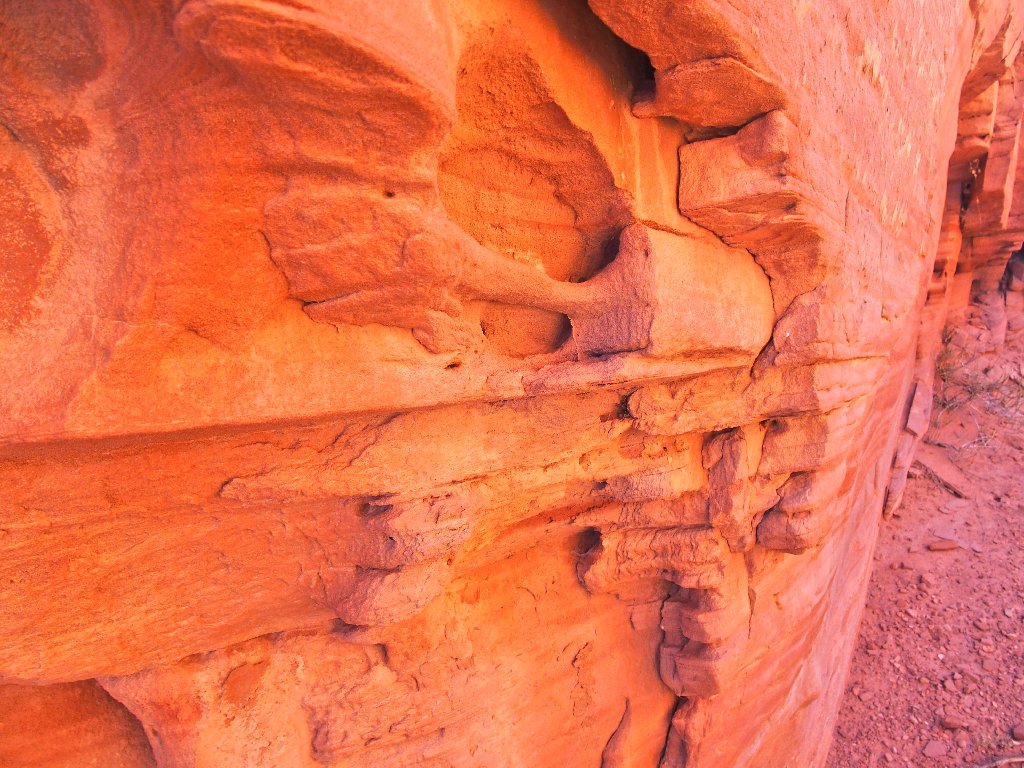
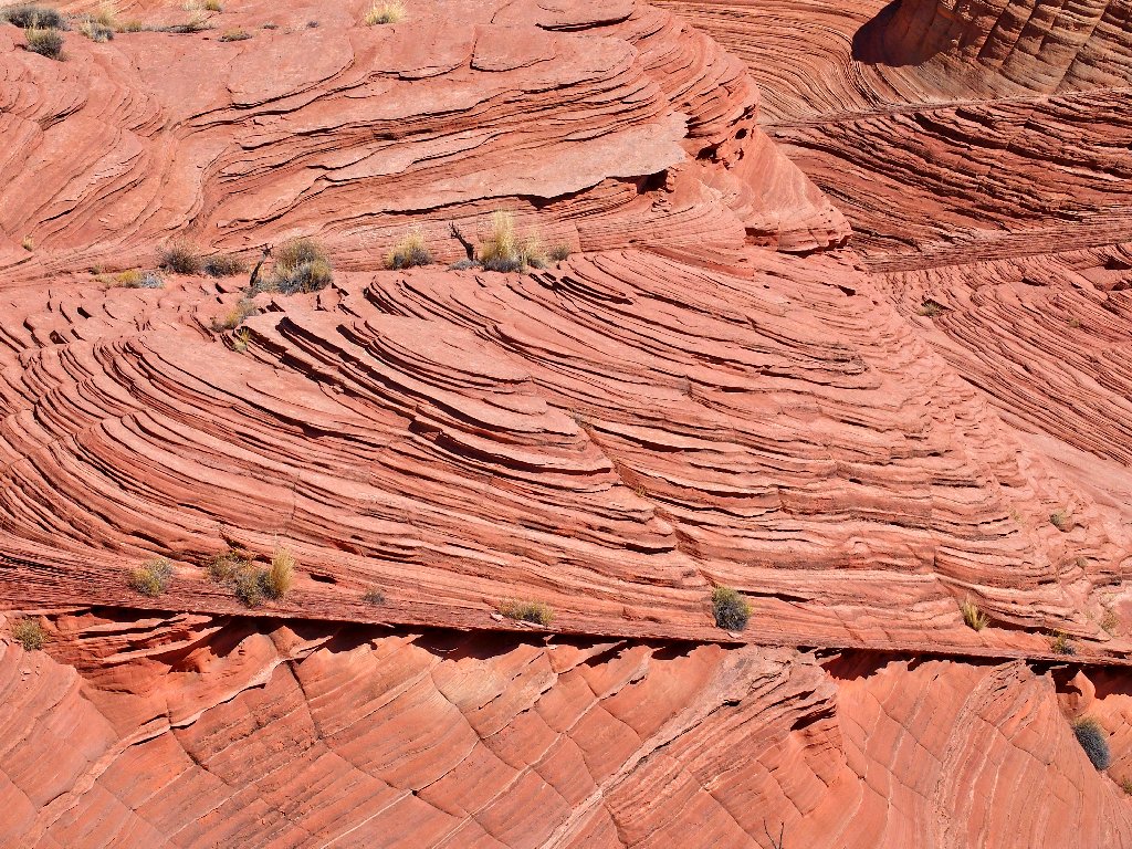
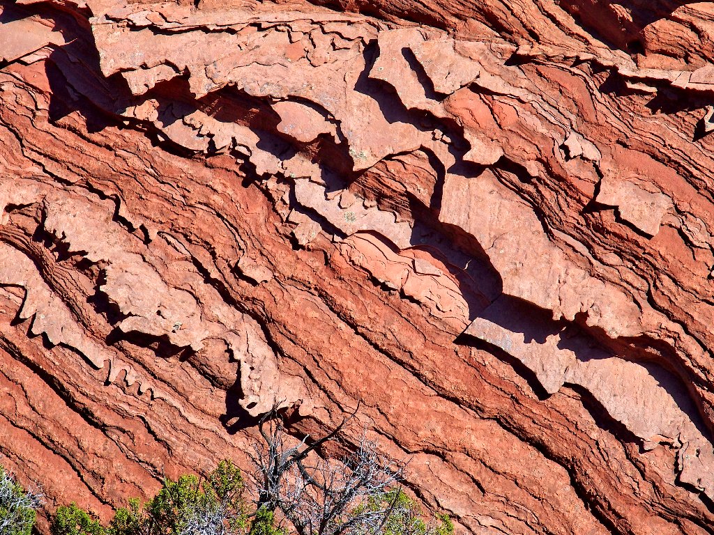
Textures
Rounding the corner
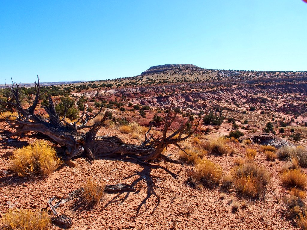
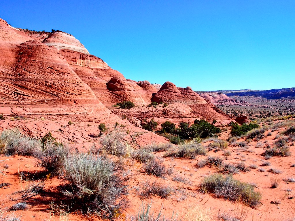
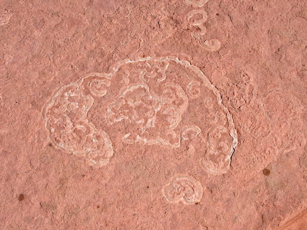
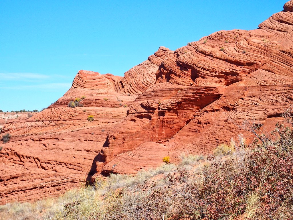
Close-up views of the strata reveal some exotic details of rock formations that exist nowhere else except in the general area of this wilderness. Assuming that my buddy Gary shows up tonight in Kanab, we'll be heading out for a photography session on the other side of Great West Bench tomorrow, about four miles from here.
Preview of tomorrow's attractions
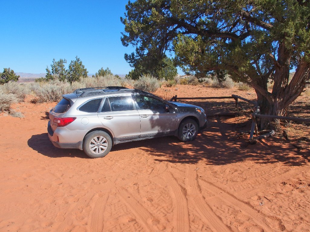
Before that could happen, however, I must get myself up to the ridge top and out of here. Nagging me a bit is the prospect of dealing with that aforementioned problematic segment of road. My wonderful Outback never has let me down; but it does of course has its limitations, and my driving experience in deep sand also is limited.
Down, then up
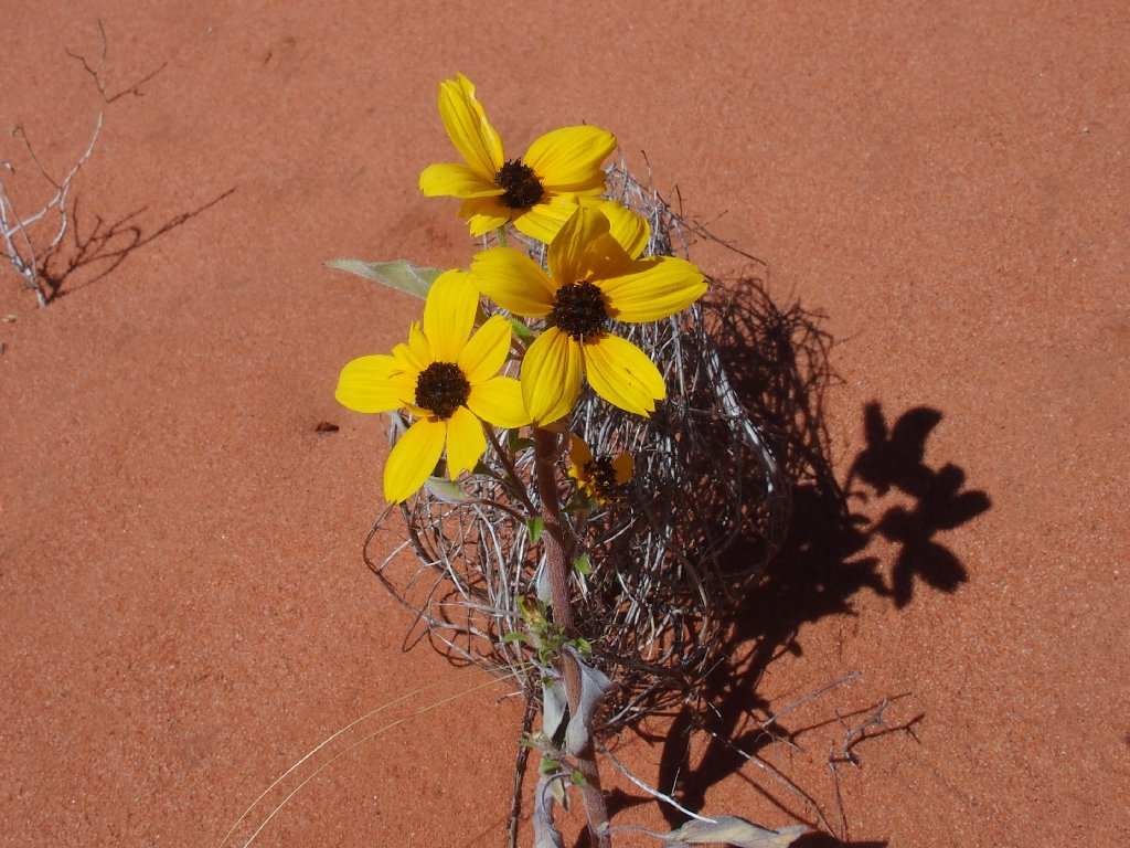
Prairie Sunflowers
Starting up the final ramp, I realize that it is not the one that was used previously. Although it probably would work just fine, I backtrack a few yards to the other one.
The 'wrong' ramp
The 'right' ramp is just as much fun going up
Anxious to put this climb to an end, I end up choosing a somewhat different scramble to the top; but that hardly matters. It is done.
Back atop the bench
It also is highly pleasing that I made it this far on just one of my two
24-ounce bottles of water. I'll not be running low today.
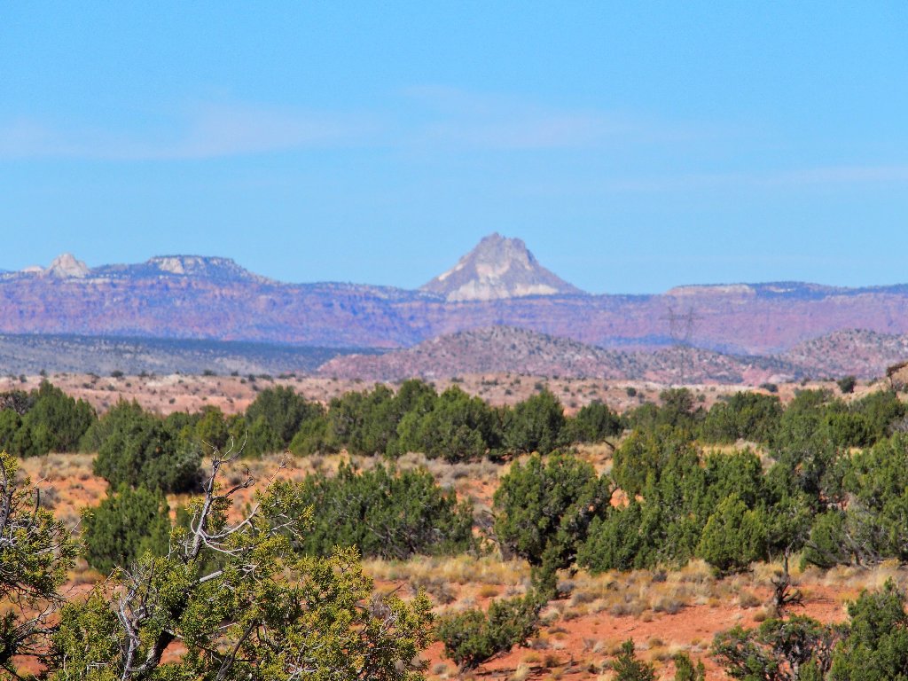
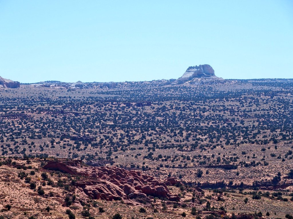
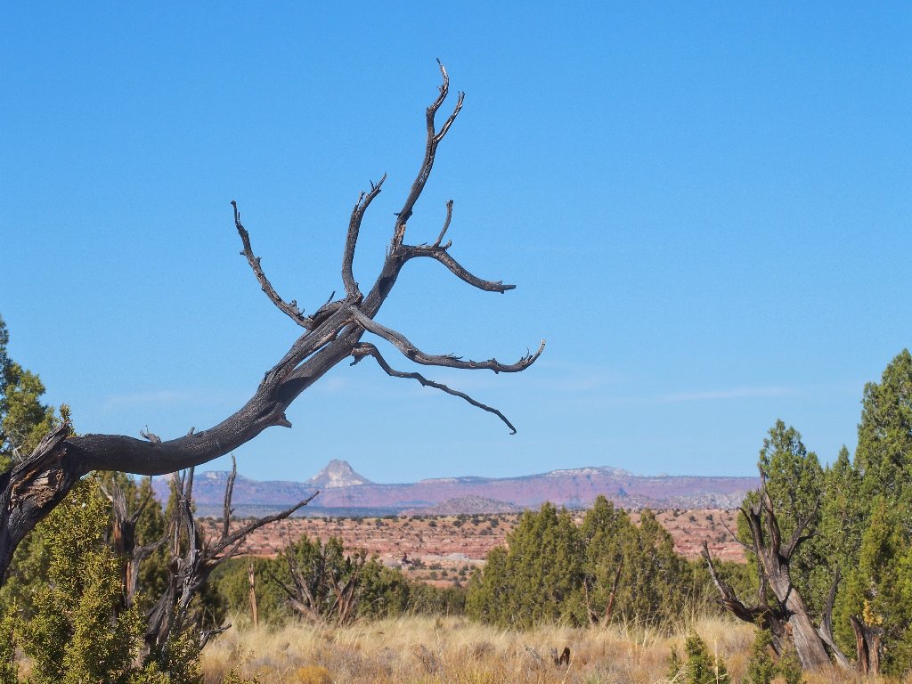
That big prominence dominates the northern skyline
You weren't so tough!
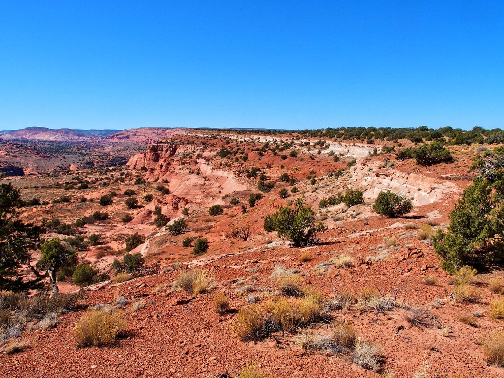
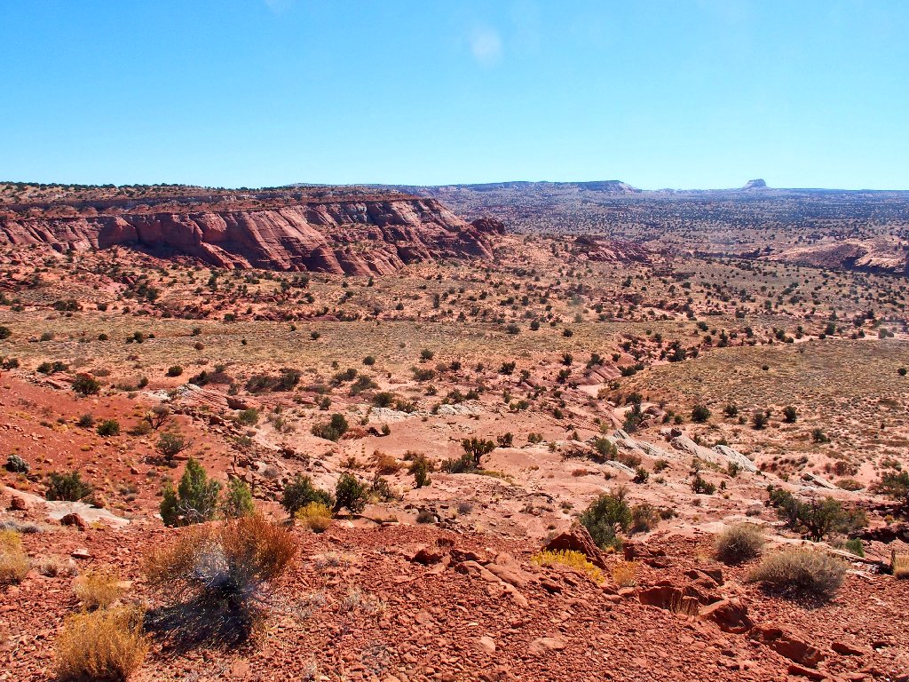
The White Pocket area to the south
Westward view
Reprise
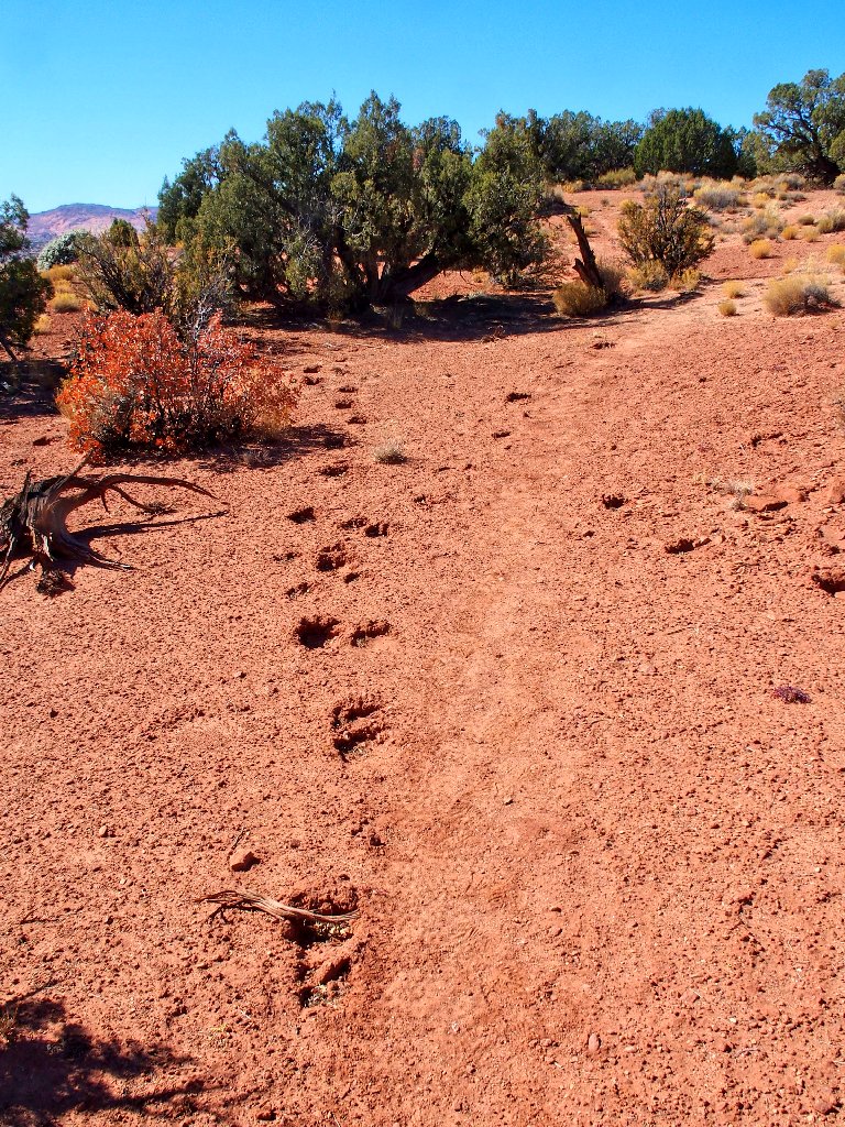
Bigfoot was here!
Judging from tire tracks on the trail, it seems that a fat-tire
bike also has been here recently, which of course is illegal in
a federal wilderness. Also, at least one blogger still
advocates the usage of any of the off-limits administrative
roads in the area, knowing fully well that doing so could result
in a serious citation.
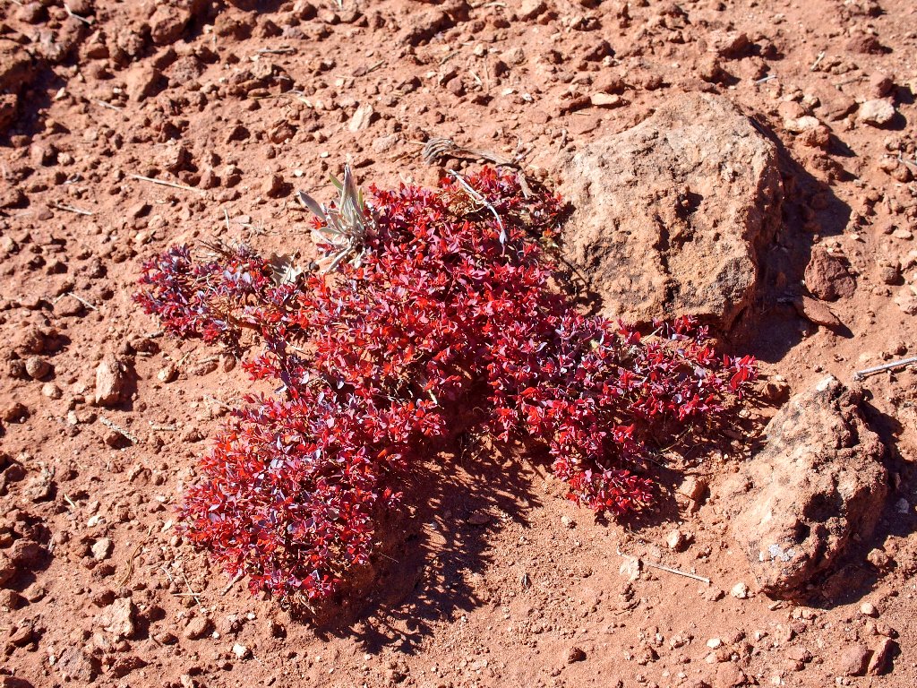
Red-gland Spurge
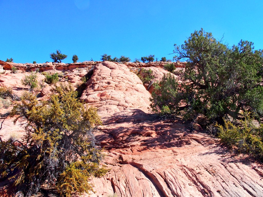
Some of the namesake vermilion cliffs
Finally, I spot the lone juniper underneath which my transportation is resting.
Almost finished
Glad to be back
§: Well, I survived this solo foray into the wilderness without
incident. That qualifies this outing as a grand adventure.
This one is a must-do for any dedicated arch-bagger. One certainly
could argue, however, that I should not have been out here alone, at least not at my
advanced age. In fact, I certainly would have preferred to have shared this
exciting trek; but no one volunteered.
A more scenic loop option would be to head down the Middle Route Trail, then cut eastward toward the arch before reaching the dangerous section of that route. Getting lost would be virtually impossible.
For the record, the drive back proved my anxieties completely unfounded;
for my car handled the entire route with ease — sand and all.
| Scenery |  |
| Difficulty |  |
| Personality | |
| Adventure | |
| Flowers |  |